


Trans North Georgia (TNGA)
Distance
357 Mi.
(575 KM)Days
5
% Unpaved
72%
% Singletrack
18%
% Rideable (time)
97%
Total Ascent
38,690'
(11,793 M)High Point
3,840'
(1,170 M)Difficulty (1-10)
6.5?
- 7Climbing Scale Strenuous108 FT/MI (21 M/KM)
- -Technical Difficulty
- -Physical Demand
- -Resupply & Logistics
Contributed By

Logan Watts
Founding Editor
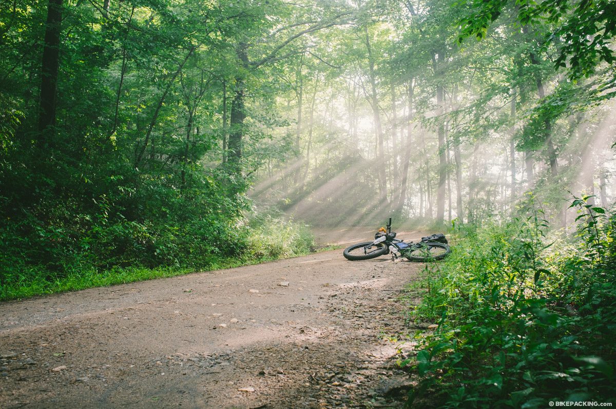
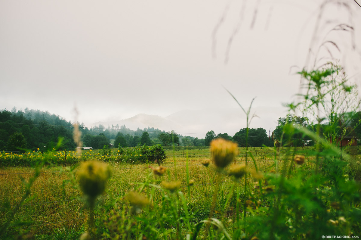
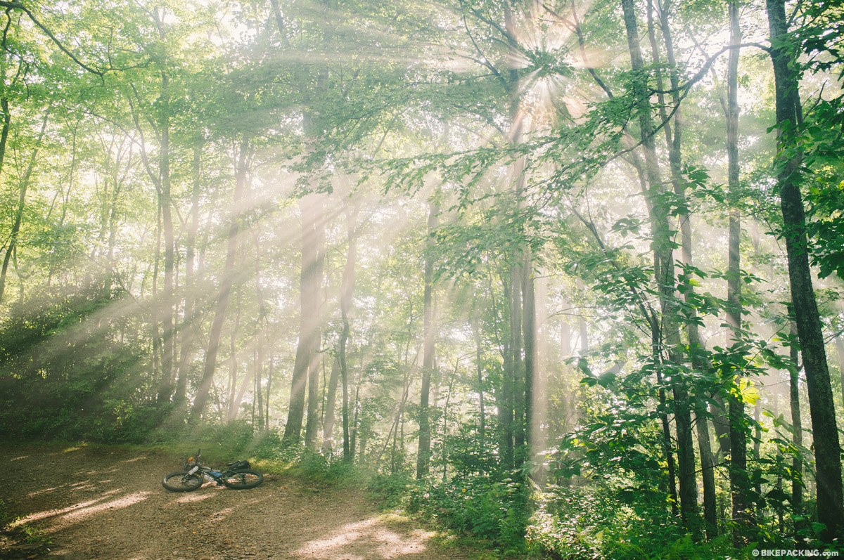
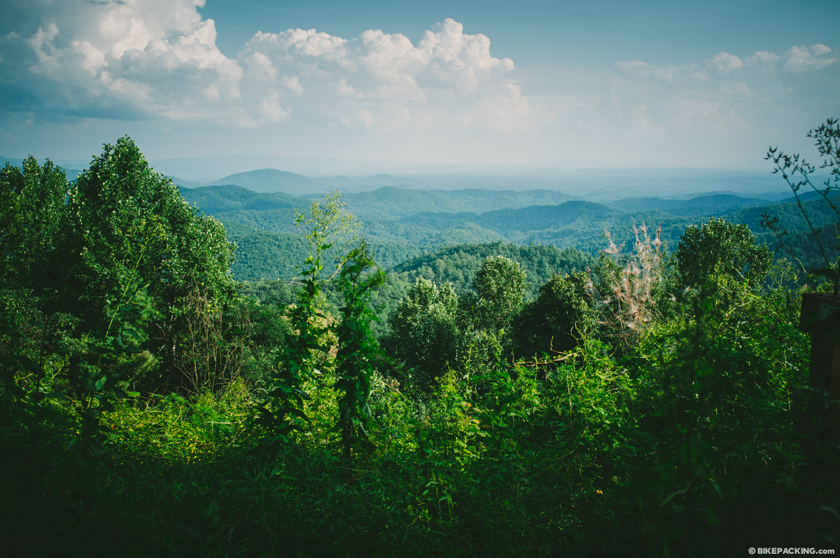
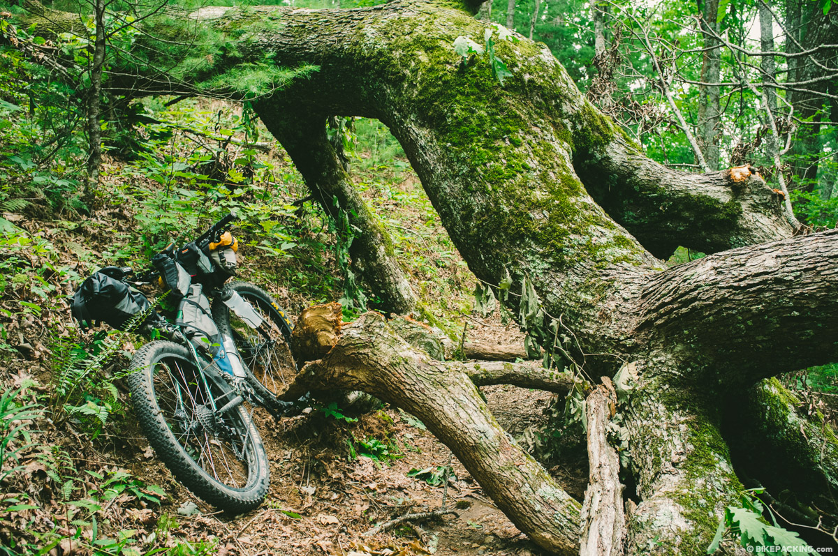
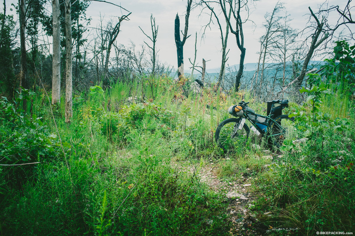
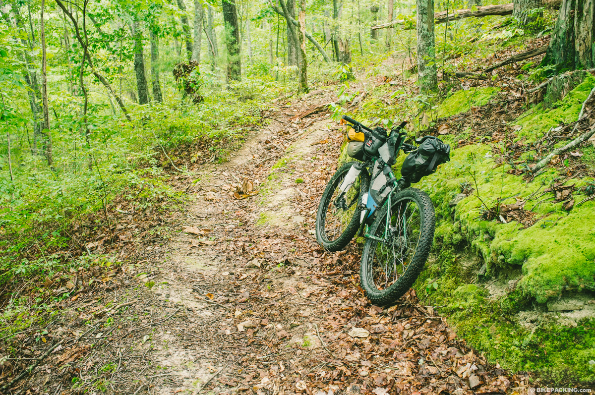
With over 56,000 feet (17,000 meters) of climbing, the TNGA is physically demanding, to say the least. But it’s not all about the challenge. The route is an incredibly beautiful stitchwork of roads and trails that explore the southern heel of Appalachian Mountains. It traverses a variety of landscapes that include pristine hardwood forest, fern-lined waterfalls, rocky ridges, and stands of pine. The TNGA is at times very remote and offers riders the opportunity be fully immersed in the Appalachian wilderness.
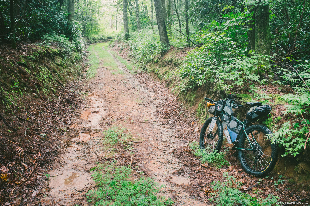
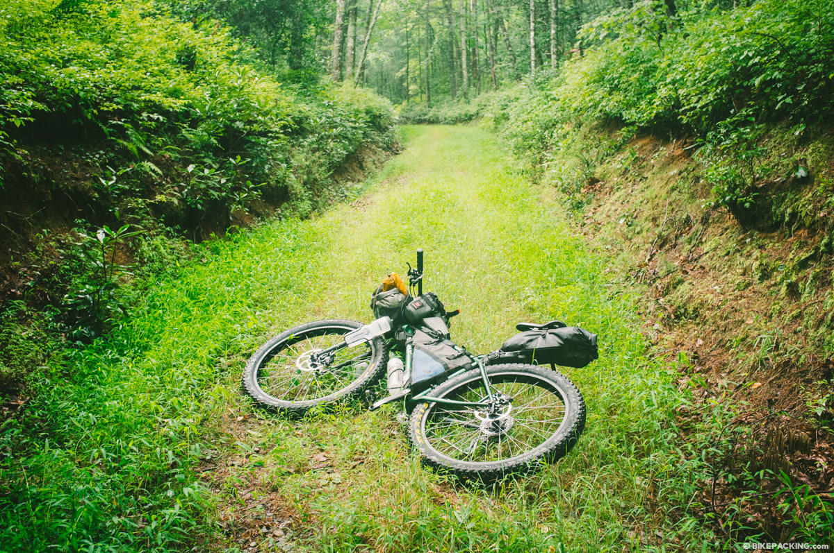
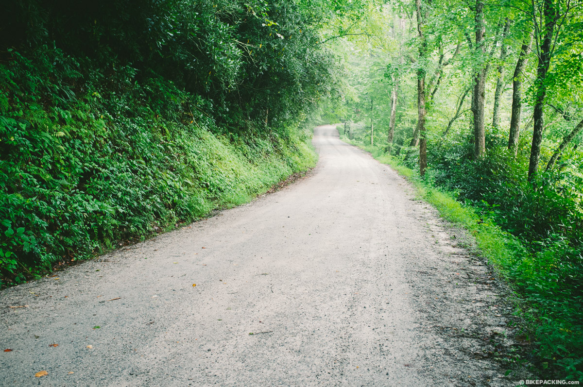
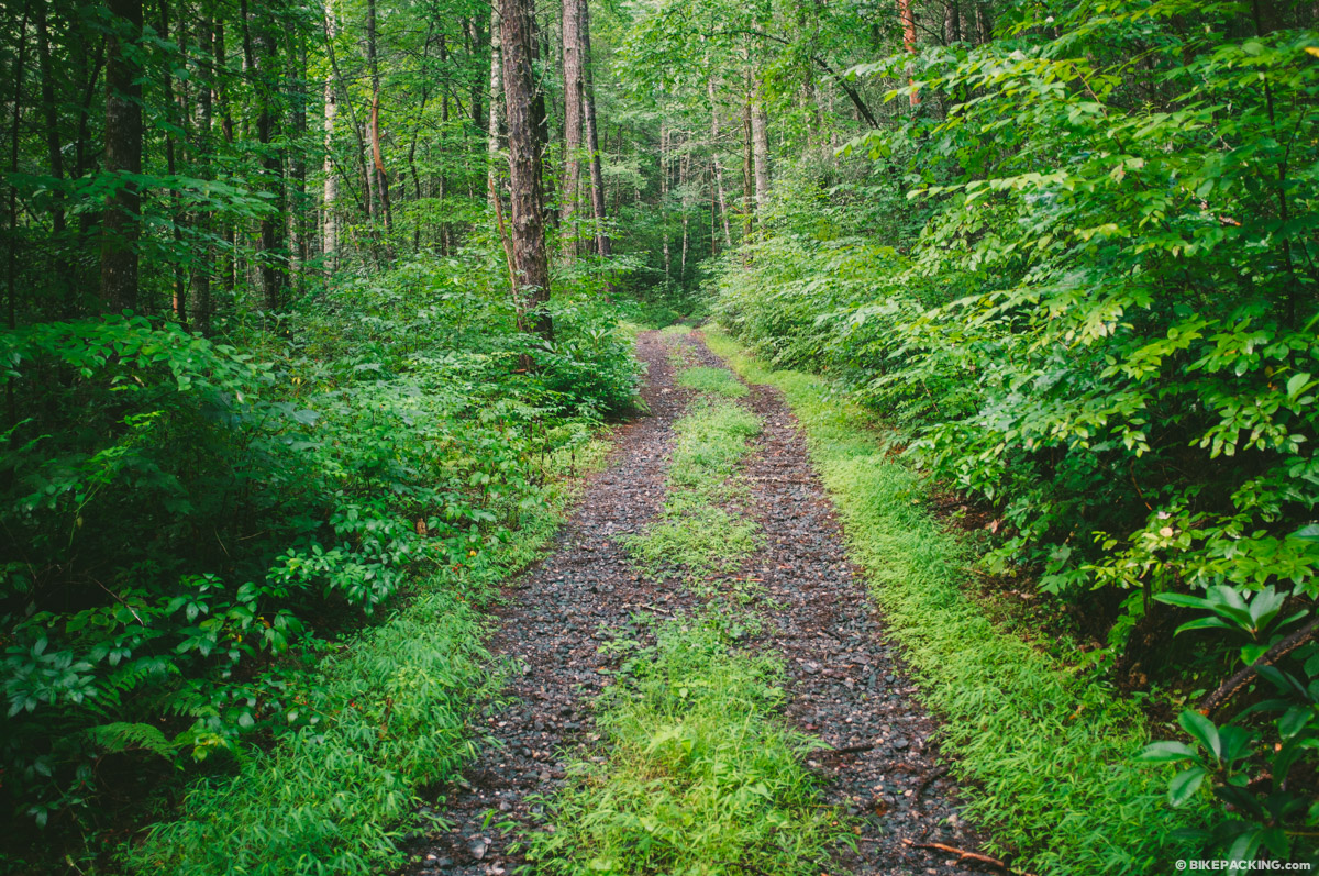
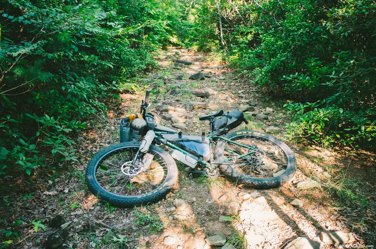
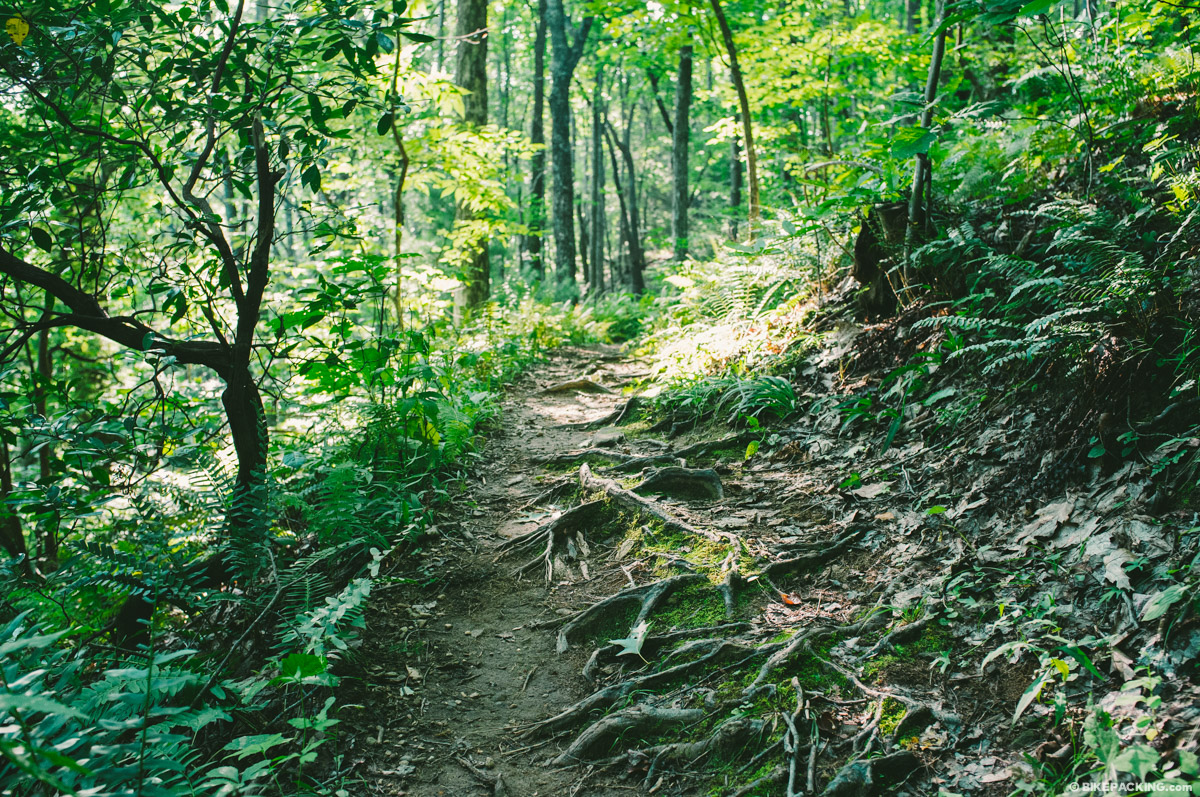
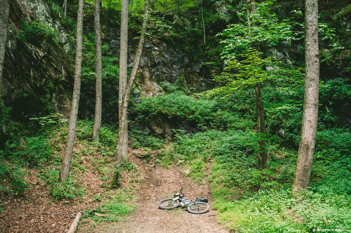
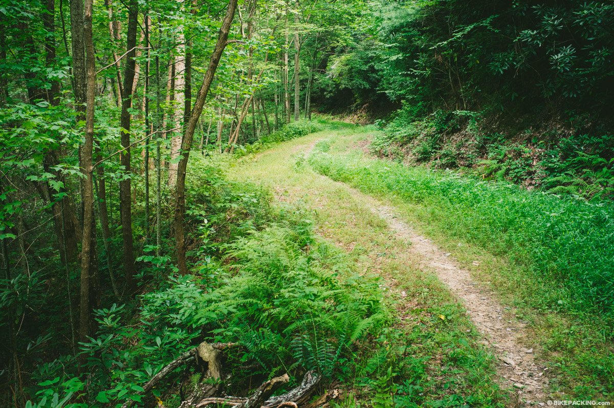
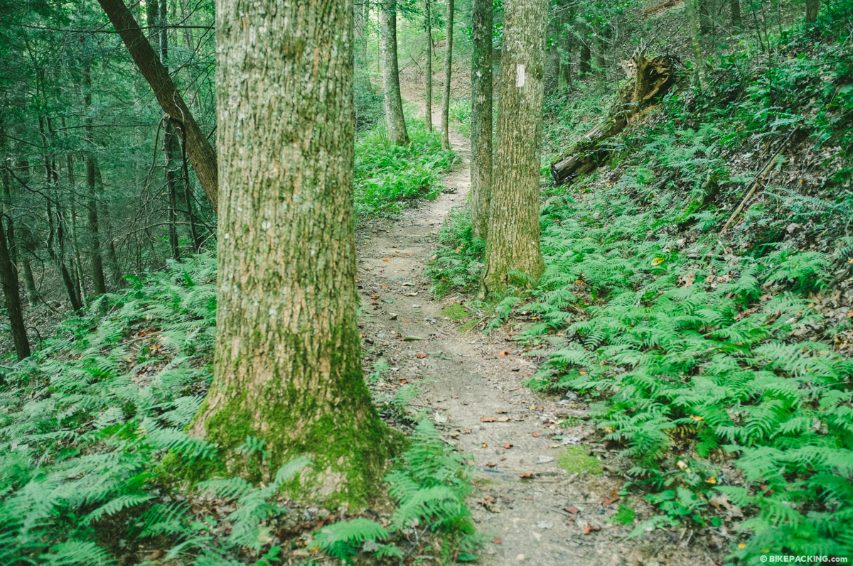
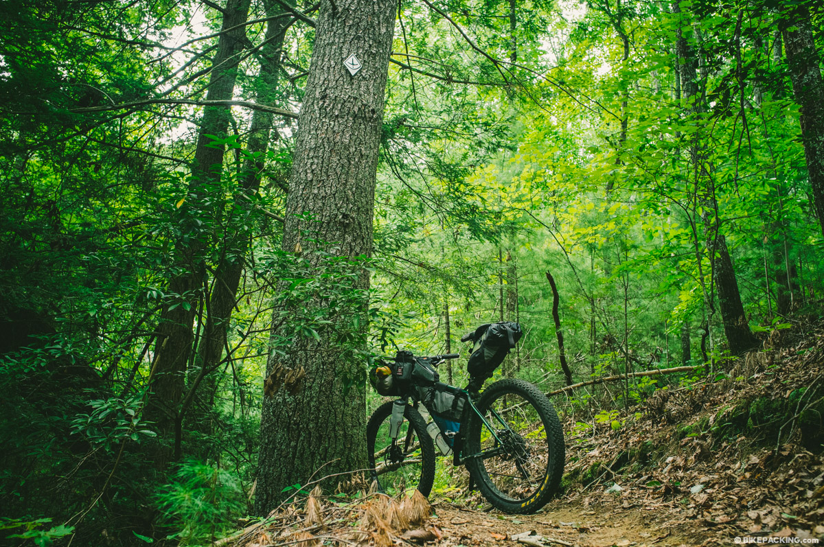
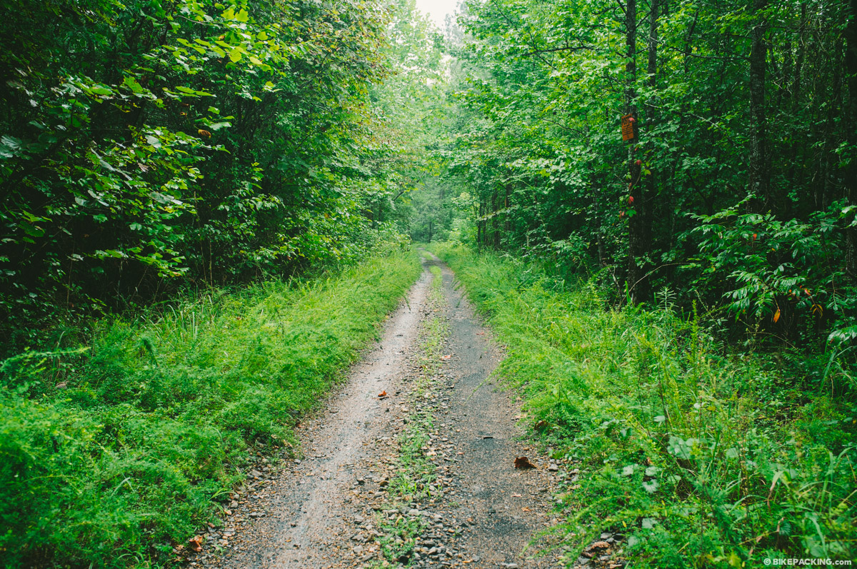
Expect a variety of riding surfaces including smooth and chunky gravel, pavement, root-strewn singletrack, rocky ridgline trails, abandoned road beds, and the occasional bushwhack. Between steep, quad-wrenching climbs and screaming descents, there are even rail-grade flat sections. The TNGA throws a little bit of everything.
Difficulty: We have assigned the TNGA a 6.5/10 based on the physical difficulty of the route. In addition to the endless climbing, the TNGA dishes out conditions that will test your physical endurance. Otherwise, there’s not a lot of technically difficult trails on route. For that I’d give it a 4 or 5; and it’s rather easy from a logistics standpoint as well.


Submit Route Alert
As the leading creator and publisher of bikepacking routes, BIKEPACKING.com endeavors to maintain, improve, and advocate for our growing network of bikepacking routes all over the world. As such, our editorial team, route creators, and Route Stewards serve as mediators for route improvements and opportunities for connectivity, conservation, and community growth around these routes. To facilitate these efforts, we rely on our Bikepacking Collective and the greater bikepacking community to call attention to critical issues and opportunities that are discovered while riding these routes. If you have a vital issue or opportunity regarding this route that pertains to one of the subjects below, please let us know:
Highlights
Must Know
Camping
Food/H2O
Trail Notes
Resources
- Endless abandoned forest roads through lush, green southern Appalachian wilderness.
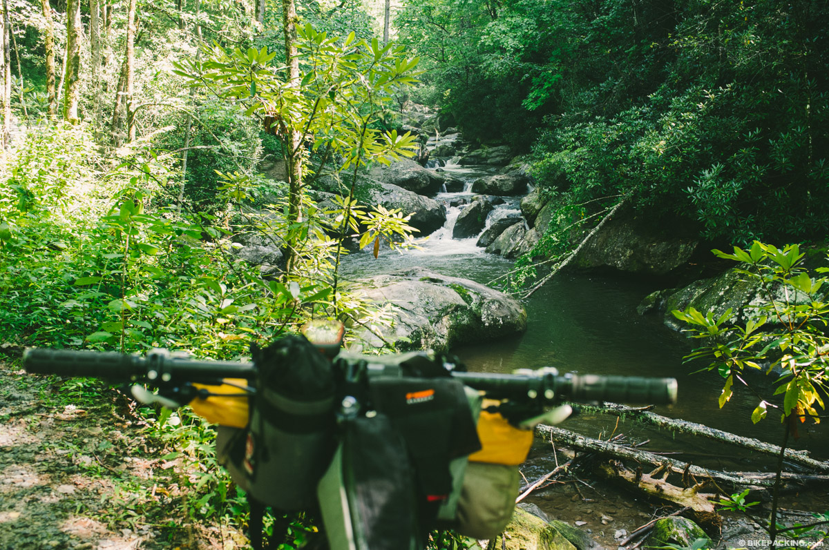
- Constantly riding alongside creeks, streams, rivers and waterfalls.
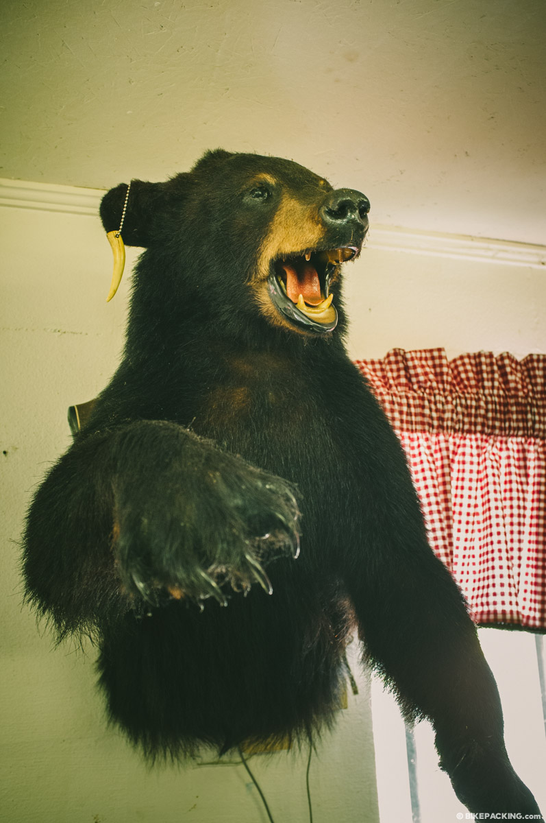
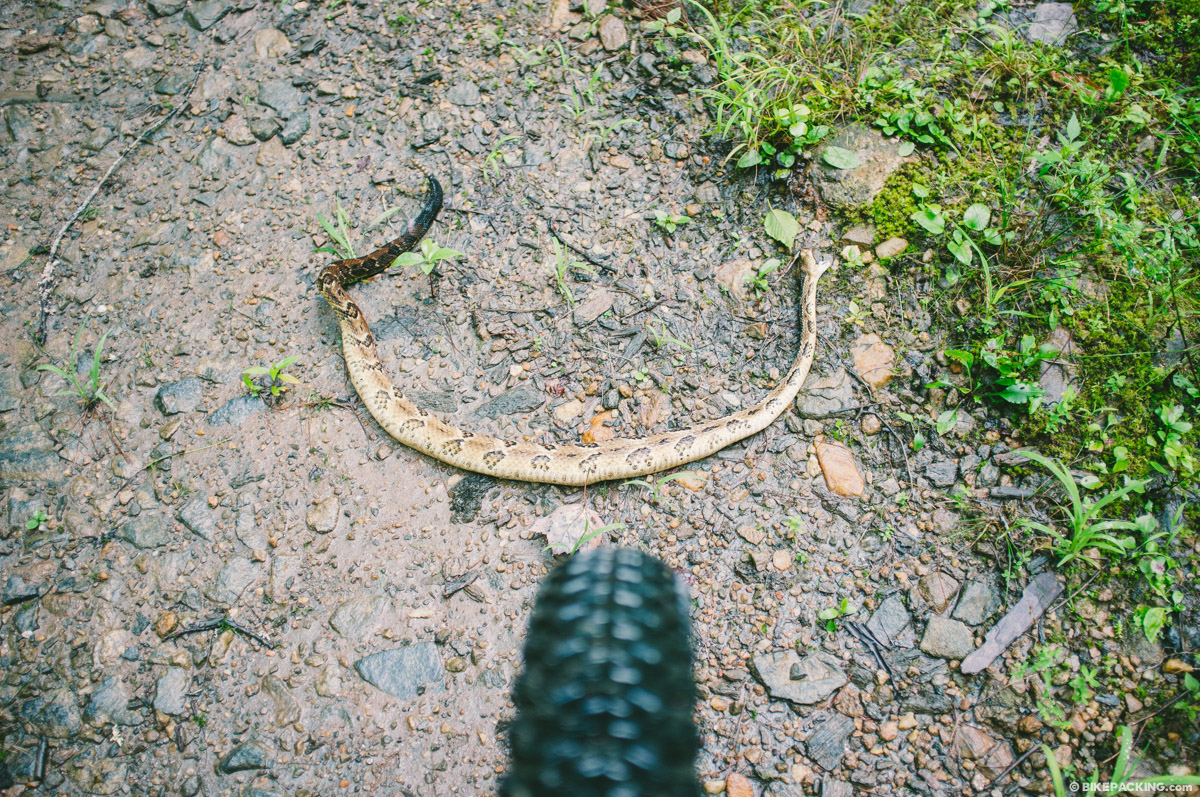
- Spotting wildlife: turkey, black bear, fox, coyote, grouse, large woodpecker, owl, butterflies, and deer.
- Views in the Cohutta Mountains
- Stopping for a cold beer, nice rest, and hearty breakfast at the Mulberry Gap Mountain Bike Getaway (mile 212).
- The Stanley Gap trail: a hearty climb and nice singletrack downhill.
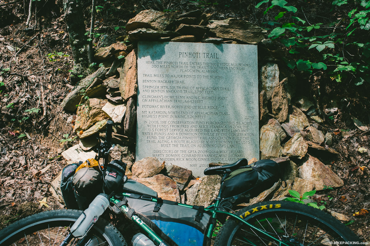
- The excellent singletrack of the Bear Creek loop and the Pinhoti around Mulberry Gap.
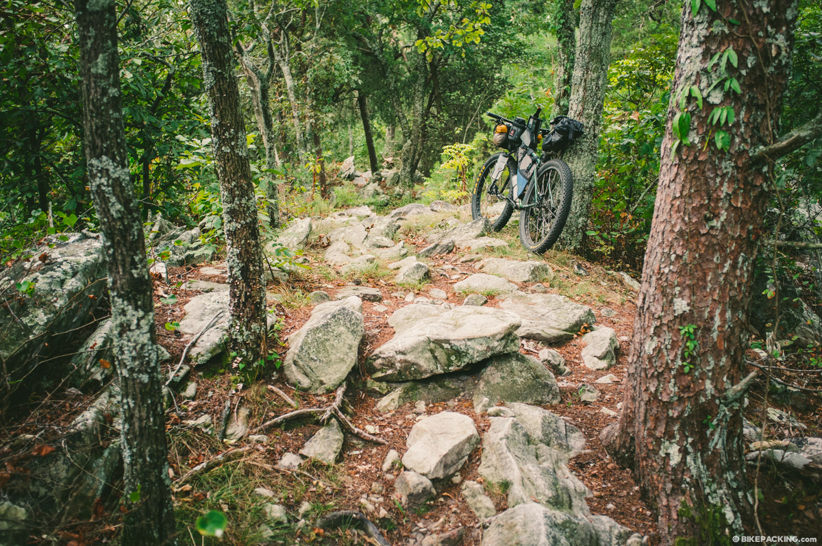
- Semi technical rocky ridge line singletrack on the Pinhoti outside Dalton through Snake Creek Gap.
Logistics
- Plan for a minimum of 3-4 days on route (unless you are Eddy O’dea); a more realistic pace would be 50 miles per day which would require a total week and an average of 8,000 feet of climbing per day.
- The best option for shuttling the point-to-point route is through Mulberry Gap Adventure Basecamp, who offer a shuttle service to the route start, and from the finish. Pricing averages around $200 for a shuttle both ways, but contact them via reservations@mulberrygap.com (or call (706) 698-2965) beforehand as pricing may vary depending on circumstances. Also find their list of services and info here.
- A car may be left at the start of the route (at your own risk); there is a pull out right after Russell Bridge.
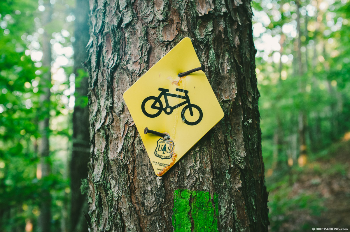
- A GPS unit and queue sheets are absolutely necessary to follow this route; there are many turns.
Weather
- Spring (April/May) and Fall (September/October) are the ideal times to ride the TNGA. The spring can provide an incredible display of wildflowers and greenery that adorn the Appalachians; the fall offers a taste of leaf season.
- The route is rideable during the summer months, but it can get very hot. There is plenty of water enroute and a lot of shade in the forests.
- This route could possibly be ridden year round, but there are many creek crossings, so cold wet feet and potential frostbite could be of concern. Winter weather is unpredictable in this part of the Appalachians; one could expect snow or spring-like temperatures.
Dangers and Annoyances
- There are plenty of ticks in this part of the south; be vigilant about checking.
- This is black bear country; tie your food in a bear snag and be bear aware.
- In the summer months, one might consider a head net to keep away the swarms of gnats.
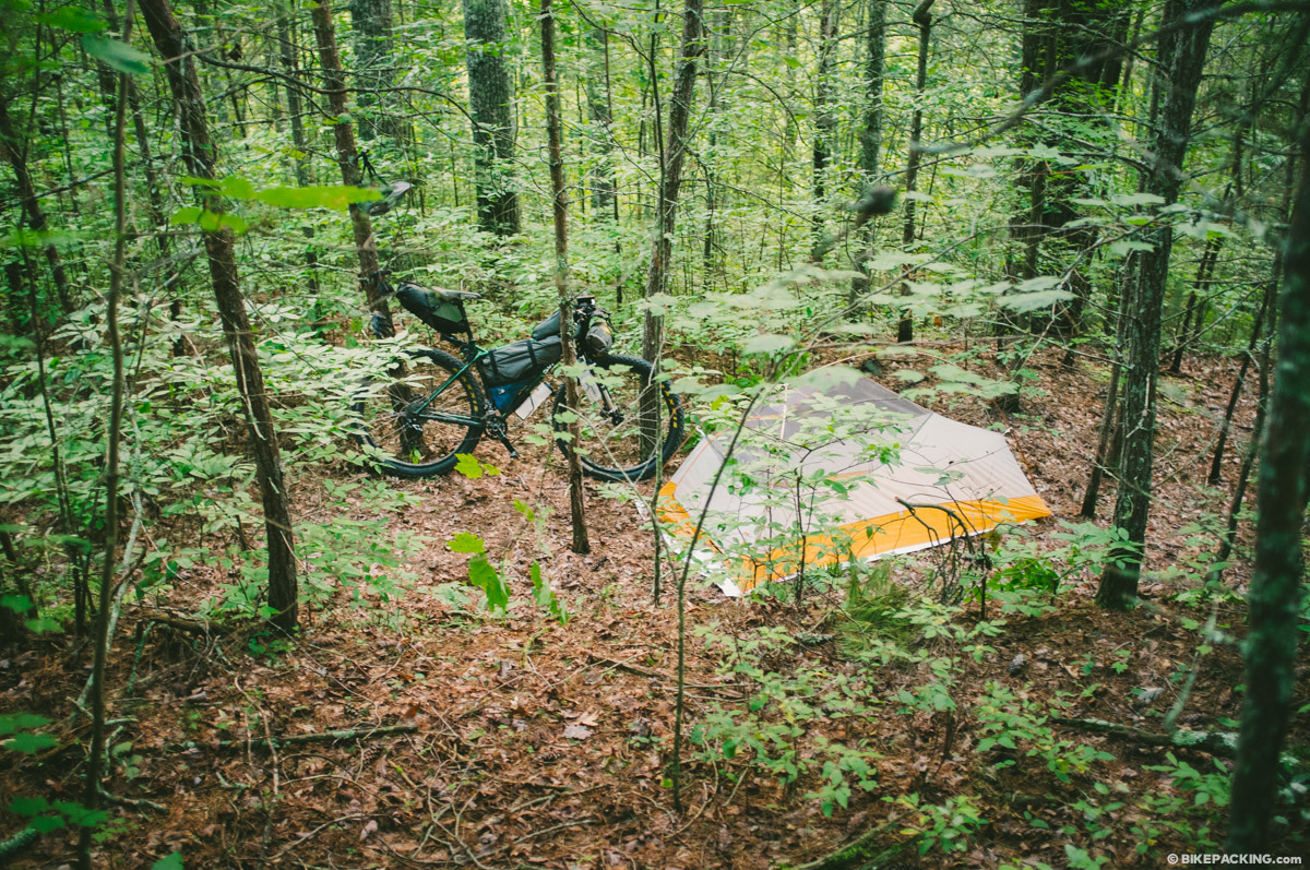
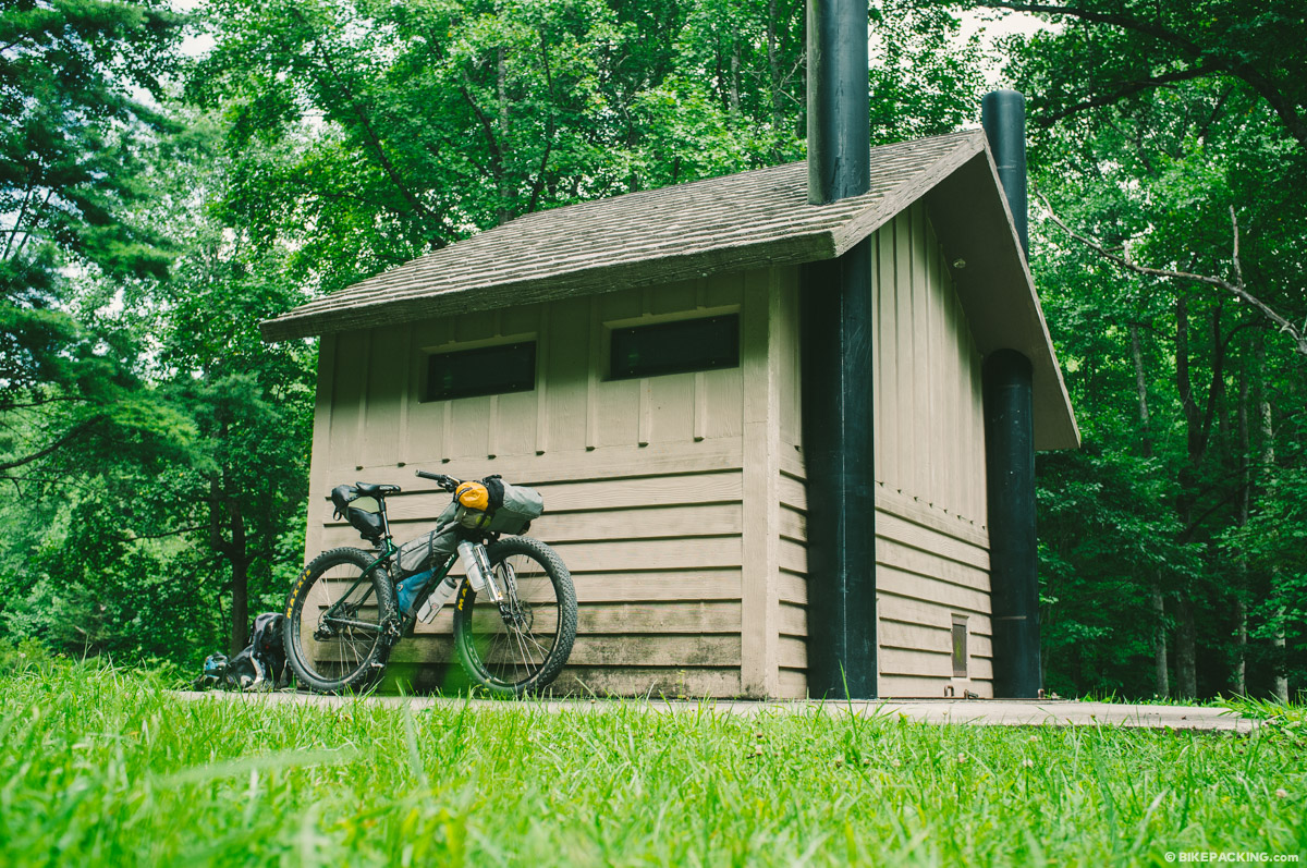
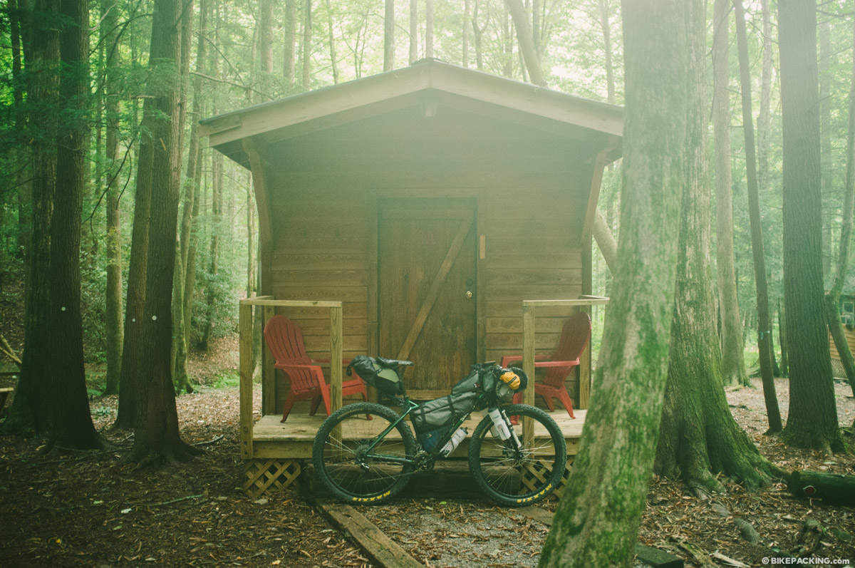
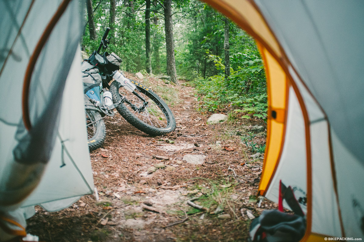
- Being that the route is primarily within National Forest land, there is no shortage of camping options. Several developed National Forest campgrounds can be found en route (several noted in the GPX) and usually require a fee of $5 or $10. Backcountry and roadside camping is also prevalent. #leavenotrace
- Hotels, hostels, and lodging can be found in Dillard, Helen, Mulbery Gap, and Dalton.
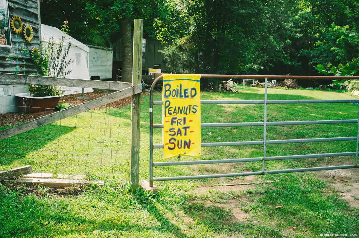
- It’s recommended for a stop and stay at Mulberry Gap; they have multiple lodging options including camping or cabins (as well as dinner and breakfast). They also have a store on site with a great craft beer selection, trail food, and bikepacking necessities such as Chamois Butter and stove fuel.
- There are several small stores en route. If you are OK with the typical convenience store selection, it is possible to subsist from these resupply points, if timed properly.
- There are several restaurants en route, or shortly off route, see the GPX for more.
- The camp store at Mulberry Gap has a nice selection of trail foods and bars. Mulberry Gap also offers excellent home cooked meals (dinner and breakfast).
- There are grocery stores slightly off route in Dillard, Helen, and Dalton.
- The first 2/3 of the TNGA has plenty of water sources, including streams, springs and rivers. Bring a filter or iodine.
- After Dalton, through Snake Creek Gap, there is very little water; fill up whenever possible using small streams that may be found in valleys between ridges.
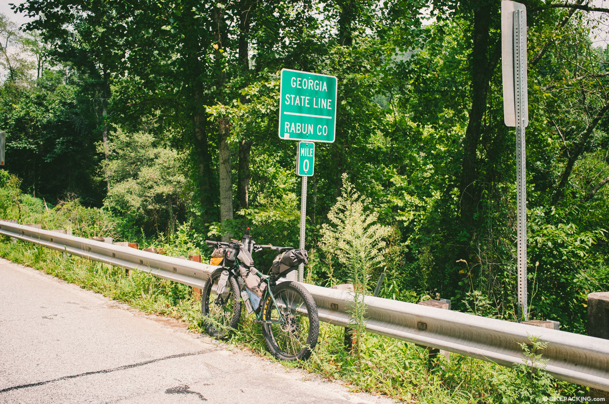
South Carolina Border to Tallulah Falls
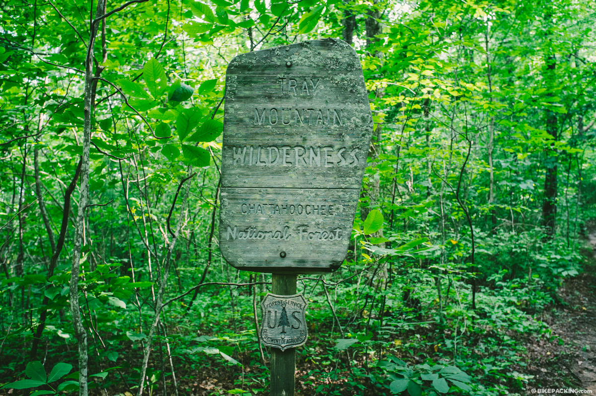
The route is traditionally ridden east to west starting at the South Carolina state line at Russell Bridge on the Chattooga River. Immediately the paved road climbs into the Chattahoochee National Forest and begins a series of difficult climbs over steeply graded gravel, dirt and paved roads. Before reaching Dillard, over Wilson Gap, the route uses a horse trail and a bit of singletrack before rejoining pavement and gravel. More dirt and gravel roads eventually lead alongside the scenic Tallulah River falls.
Tallulah Falls to Helen
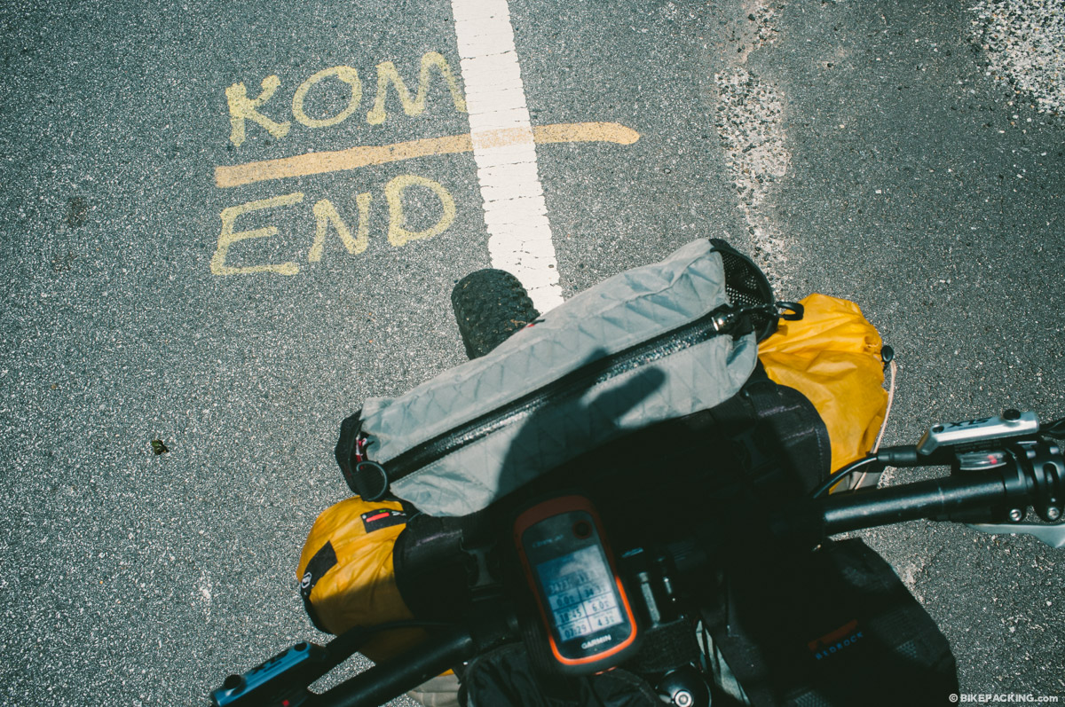
After crossing the Tallulah River, the TNGA continues on forest roads, some well travelled and others all but abandoned. This portion of the route is punctuated by several big climbs and a stint on Hwy 76 before an epic forest road climb up Tray Mountain to the highest point of the route. The descent into Helen is a sketchy one along a rugged rock-strewn road bed that devolves into rough and rocky singletrack. Stop at Cimmie’s Cafe for a bite before you start the next big climb.
Helen to the Aska Trails
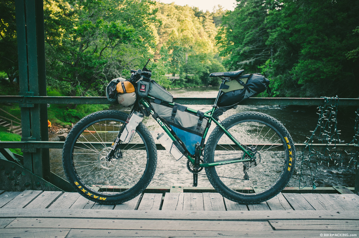
After leaving Helen, there is a long paved climb through “The Gaps”, Hogpen and Wolfpen Gap. The route then returns to mostly gravel road as it follows the Toccoa River, crosses an old iron bridge and approaches the Aska Trail network near the town of Blue Ridge.
Aska Trails to Mulberry Gap
The bench-cut Aska Trails are a nice singletrack network that meanders through the forest and then climbs the epic Stanley Gap before an incredible descent rejoining gravel into the community of Cherry Log. After a neverending pedal up Cashes Valley Road, riders enter the Cohutta Mountains on gravel, doubletrack, and the singletrack of the South Fork and Pinhoti trails. This section is punctuated by the flowing singletrack forest ride through the Bear Creek section of the Pinhoti which eventually dumps out onto Mulberry Gap Road.
Mulberry Gap to Finish
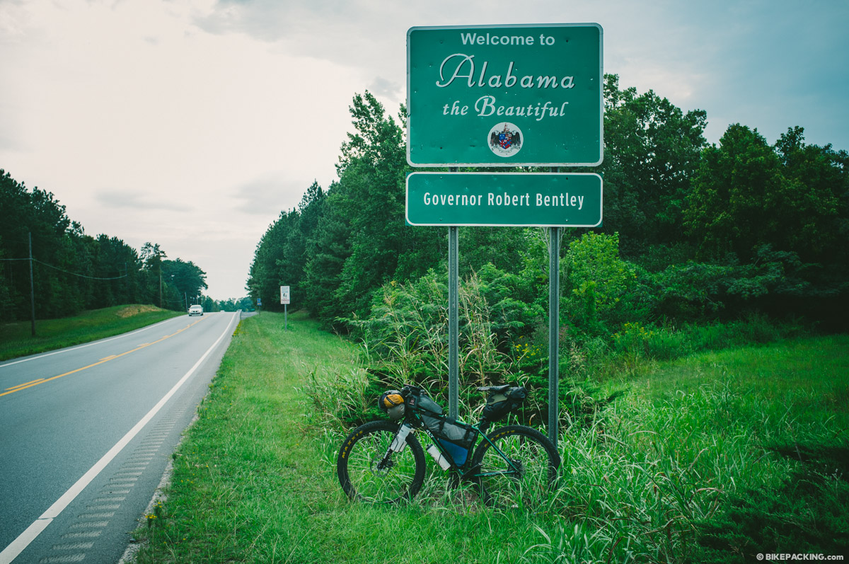
The remainder of the TNGA mostly follows the Pinhoti trail, which features a wide variety of terrain, trail, and road. Once in Dalton, and after a paved climb, the route rejoins the Pinhoti through the rocky ridges around Snake Creek Gap. Some sections are singletrack, others old roadbeds, some follow gravel roads or pavement. The final run toward the Alabama border follows an old rail bed.
The Event
The Trans North Georgia Mountain Bike Adventure is a self-supported through-ride along the TNGA route, usually held in late August. It is not a race; it’s an adventure. Finishing times are recorded and documented for comparison but there is no podium nor prize. The current record is held by Eddie O’dea at 1:14:57 (2013). Participants are required to register, sign a waiver, and carry a SPOT tracker, but there is no fee to participate.


Terms of Use: As with each bikepacking route guide published on BIKEPACKING.com, should you choose to cycle this route, do so at your own risk. Prior to setting out check current local weather, conditions, and land/road closures. While riding, obey all public and private land use restrictions and rules, carry proper safety and navigational equipment, and of course, follow the #leavenotrace guidelines. The information found herein is simply a planning resource to be used as a point of inspiration in conjunction with your own due-diligence. In spite of the fact that this route, associated GPS track (GPX and maps), and all route guidelines were prepared under diligent research by the specified contributor and/or contributors, the accuracy of such and judgement of the author is not guaranteed. BIKEPACKING.com LLC, its partners, associates, and contributors are in no way liable for personal injury, damage to personal property, or any other such situation that might happen to individual riders cycling or following this route.
Please keep the conversation civil, constructive, and inclusive, or your comment will be removed.