


The Coconino Loop
Distance
240 Mi.
(386 KM)Days
6
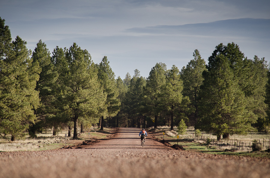
% Unpaved
90%
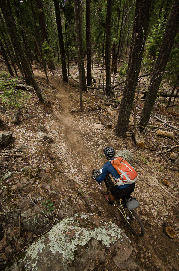
% Singletrack
45%
% Rideable (time)
96%
Total Ascent
20,654'
(6,295 M)High Point
8,992'
(2,741 M)Difficulty (1-10)
7.5?
- 6Climbing Scale Moderate86 FT/MI (16 M/KM)
- 8Technical Difficulty Difficult
- 8Physical Demand Difficult
- 7Resupply & Logistics Strenuous
Contributed By

Cass Gilbert
Contributing Editor
Originally published in December, 2014, this route guide for the Coconino Loop was updated in December, 2023 with photos and insight by Neil Beltchenko; also find a video from that ride under the Trail Notes tab.
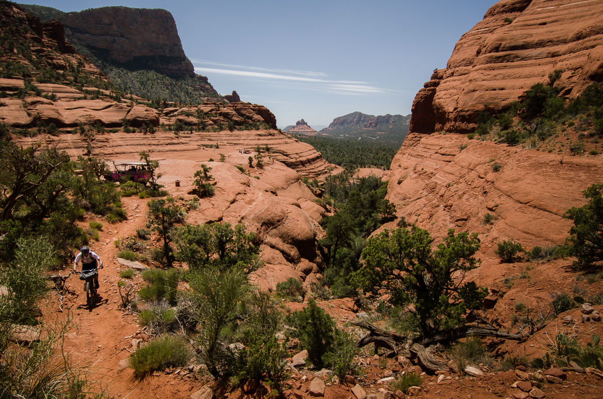
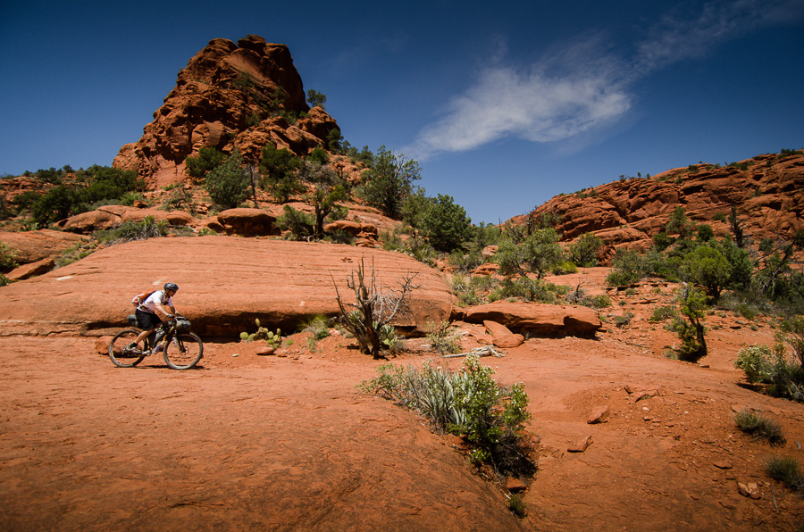
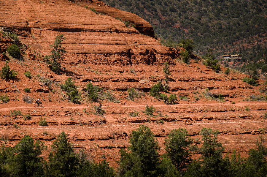
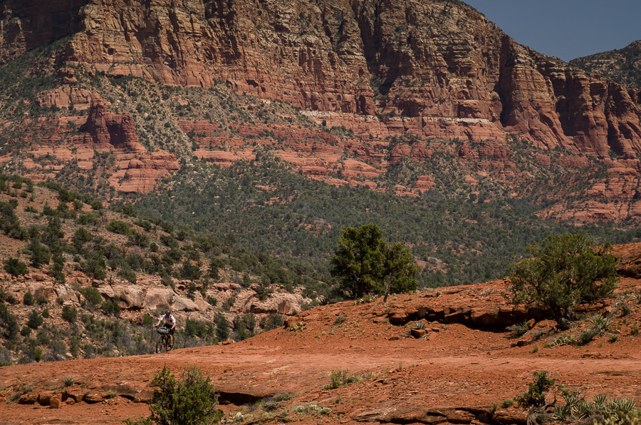
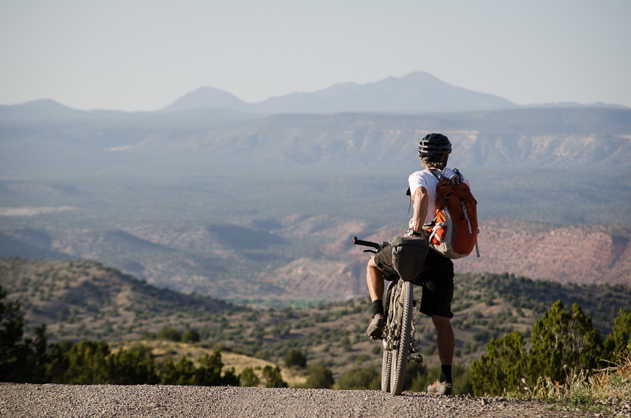
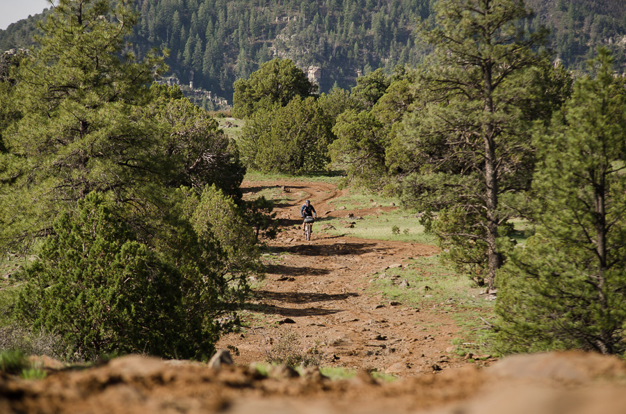
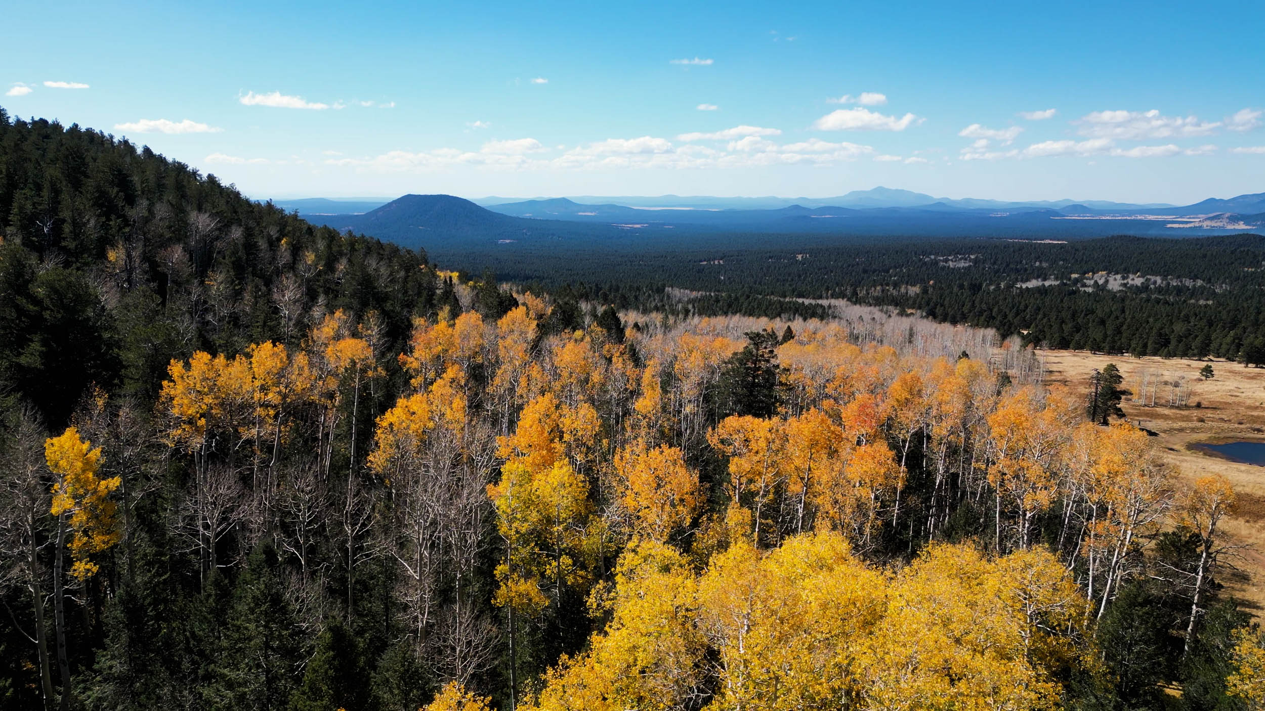
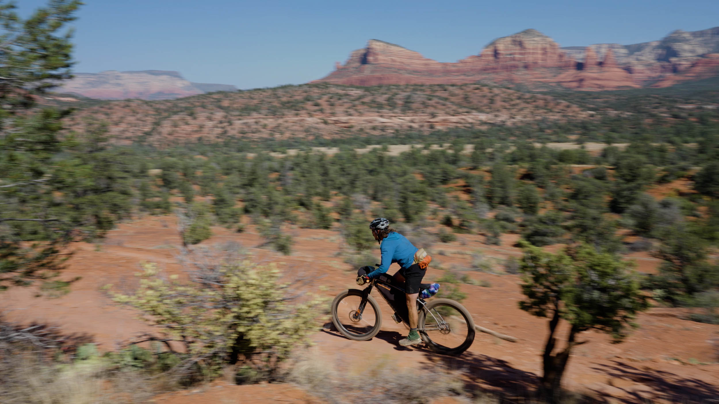
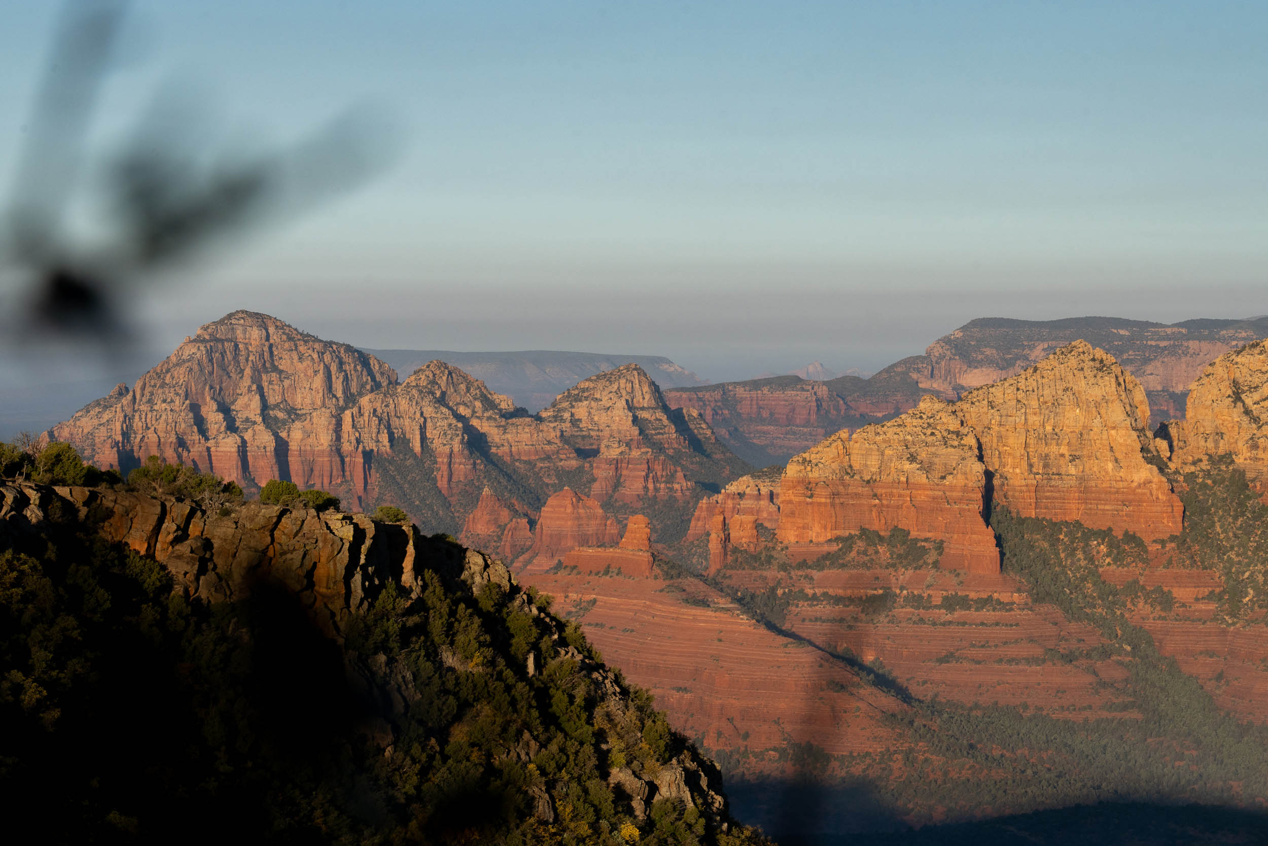
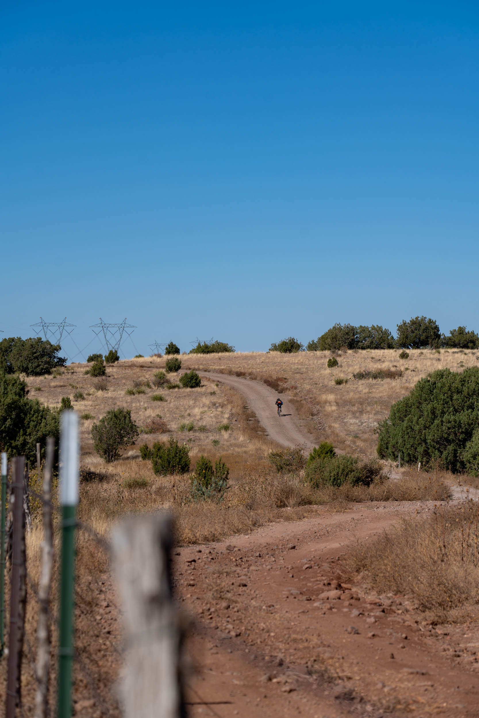
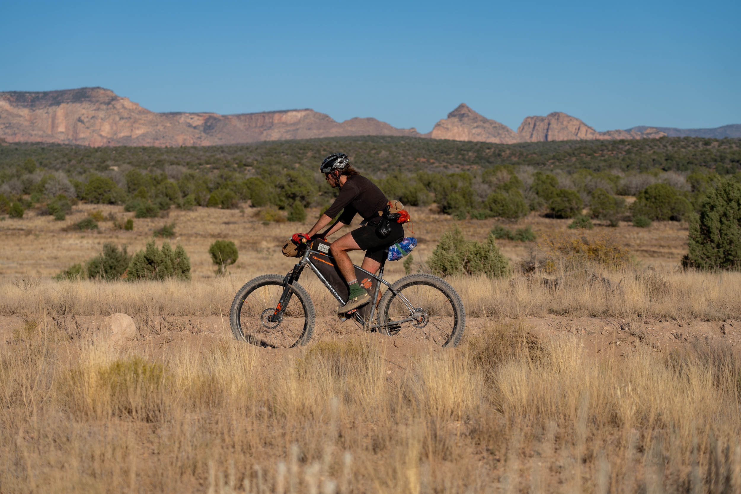
Knitting together some of the finest trails in Northern Arizona, the Coconino Loop is a 250 mile bikepacking journey linking Flagstaff with Cottonwood, the Verde River and Williams, via the mighty wall of Mingus Mountain and the towering red buttes of Sedona. The singletrack is top notch – the ride even incorporates a classic section of the AZT, and a spectacular traverse of the mountain biking mecca of Sedona.
Route Difficulty
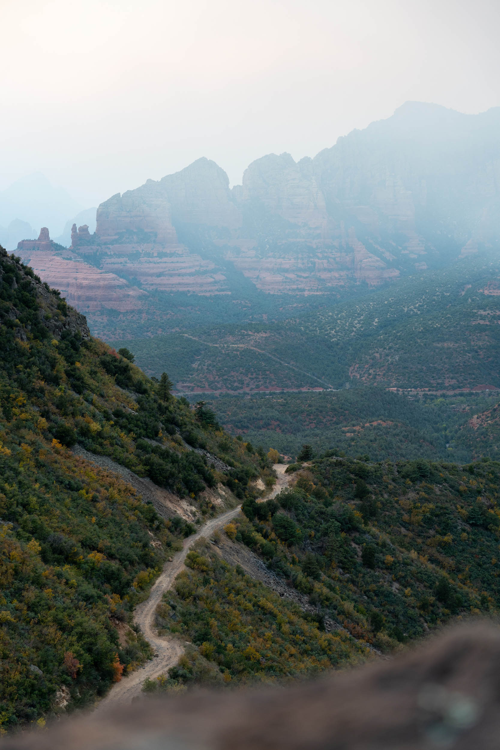
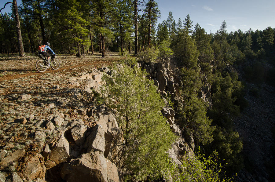
While certain segments of the route may present minimal technical challenges, there are notably demanding sections with numerous hike-a-bikes, making the terrain more challenging than easy. Challenging stretches include those located south of Flagstaff, some of the Sedona singletrack, Mingus Mountain, Bill Williams Mountain, and Sycamore Canyon. Factors such as heat and changes in elevation should be taken into account, as they can contribute to increased fatigue. Depending on weather conditions, it may be necessary to carry excess water between available sources. Despite these considerations, the overall spacing of water and resupply points is very manageable.
Some of the most challenging sections can be skipped, such as the Mingus and Bill Williams Mountains, which would certainly make this route easier, but doing so takes away from the overall experience.
As far as the number of days, 4.5/5 days is likely the fastest you would want to tackle this route, as it would lead to long days in the saddle with lots of climbing each day. Allowing 6 or 7 days will offer more down time in towns and a more relaxed pace. That being said, the longer you take, the more challenging water and food resupply becomes.
Route Development
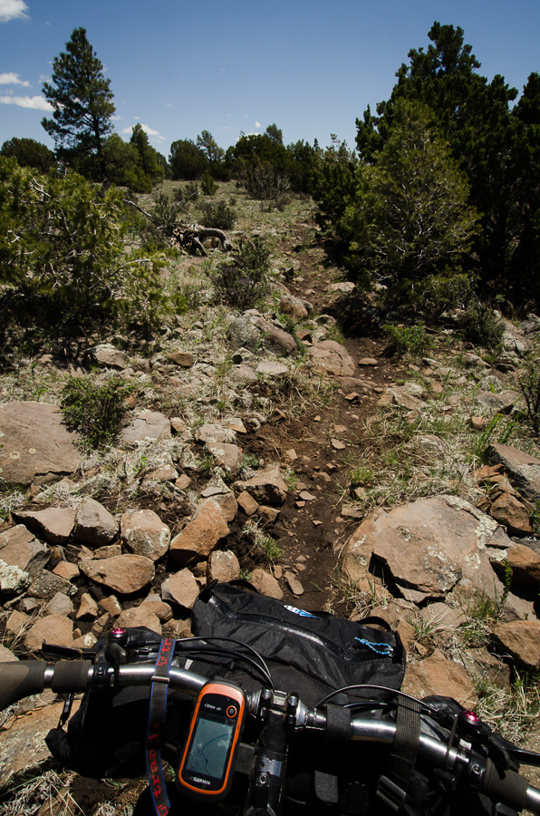
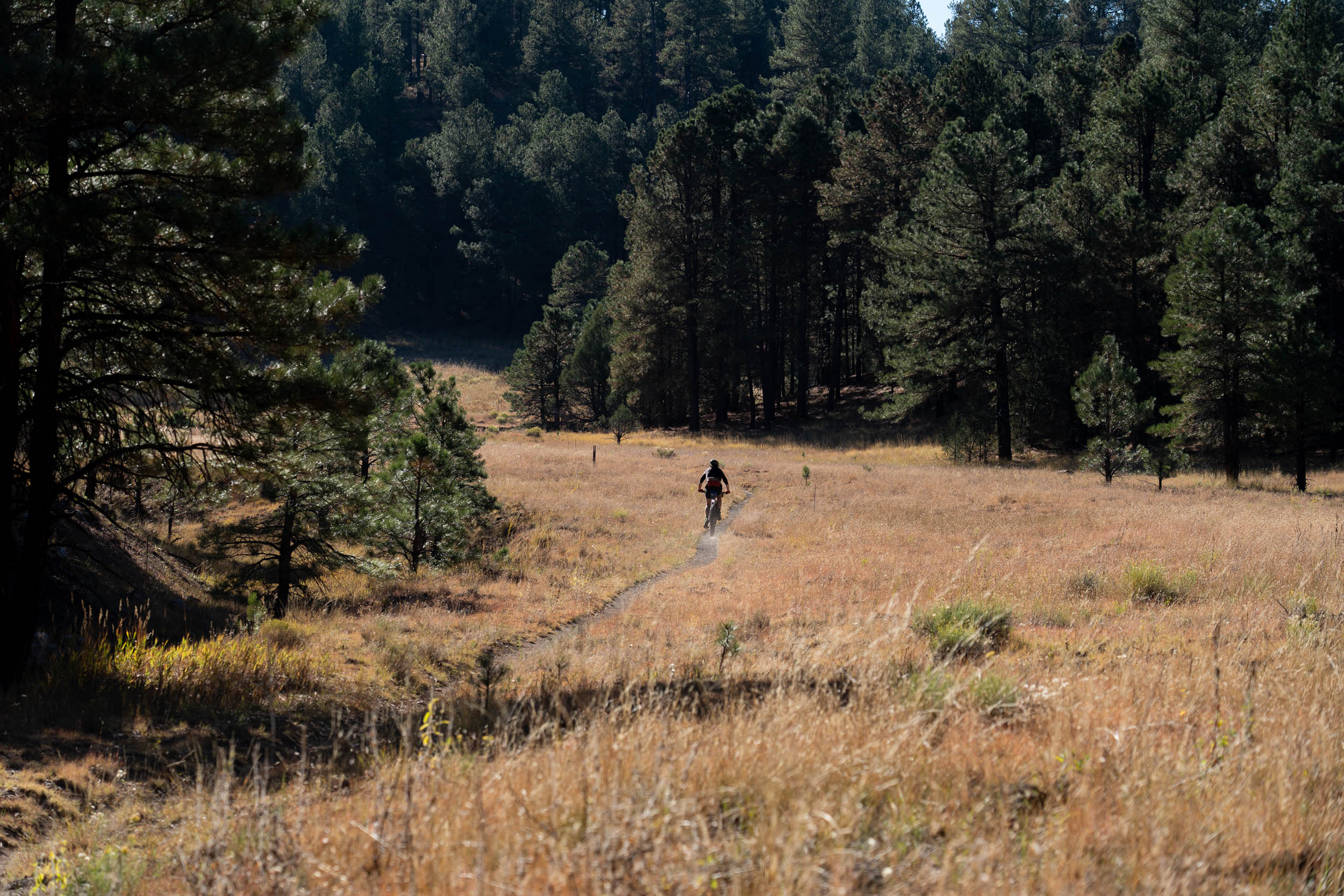
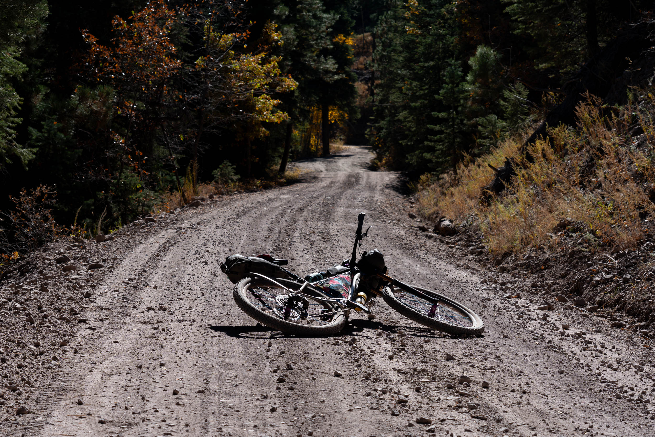
Concocted by Bikepacking.net‘s Scott Morris and buddy Chad Brown – both well respected bikepacking fiends – the loop boasts over 28,000 feet of climbing. The terrain is unrelenting as it is varied: baking desert and dusty red rock, ponderosas pines, lava flows, flatlands, mesas and snowy peaks, to name just a few. Almost half of the ride takes place on challenging singletrack; the rest traces roughly hewn jeep tracks and gravel county roads. Of course, no bikepacking adventure worth its salt is complete without a couple of grueling hike ‘n bikes thrown in too… curses and all.


Submit Route Alert
As the leading creator and publisher of bikepacking routes, BIKEPACKING.com endeavors to maintain, improve, and advocate for our growing network of bikepacking routes all over the world. As such, our editorial team, route creators, and Route Stewards serve as mediators for route improvements and opportunities for connectivity, conservation, and community growth around these routes. To facilitate these efforts, we rely on our Bikepacking Collective and the greater bikepacking community to call attention to critical issues and opportunities that are discovered while riding these routes. If you have a vital issue or opportunity regarding this route that pertains to one of the subjects below, please let us know:
Highlights
Must Know
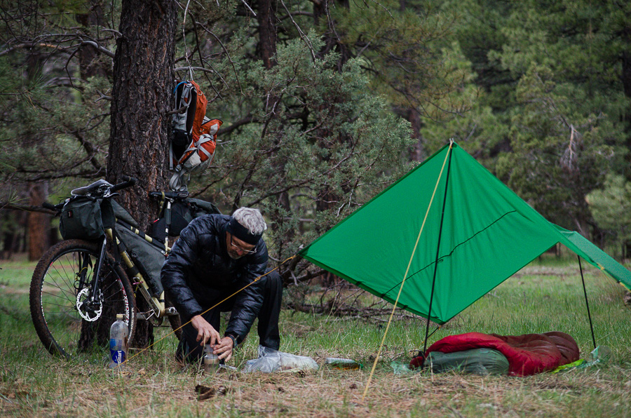
Camping
Food/H2O
Trail Notes
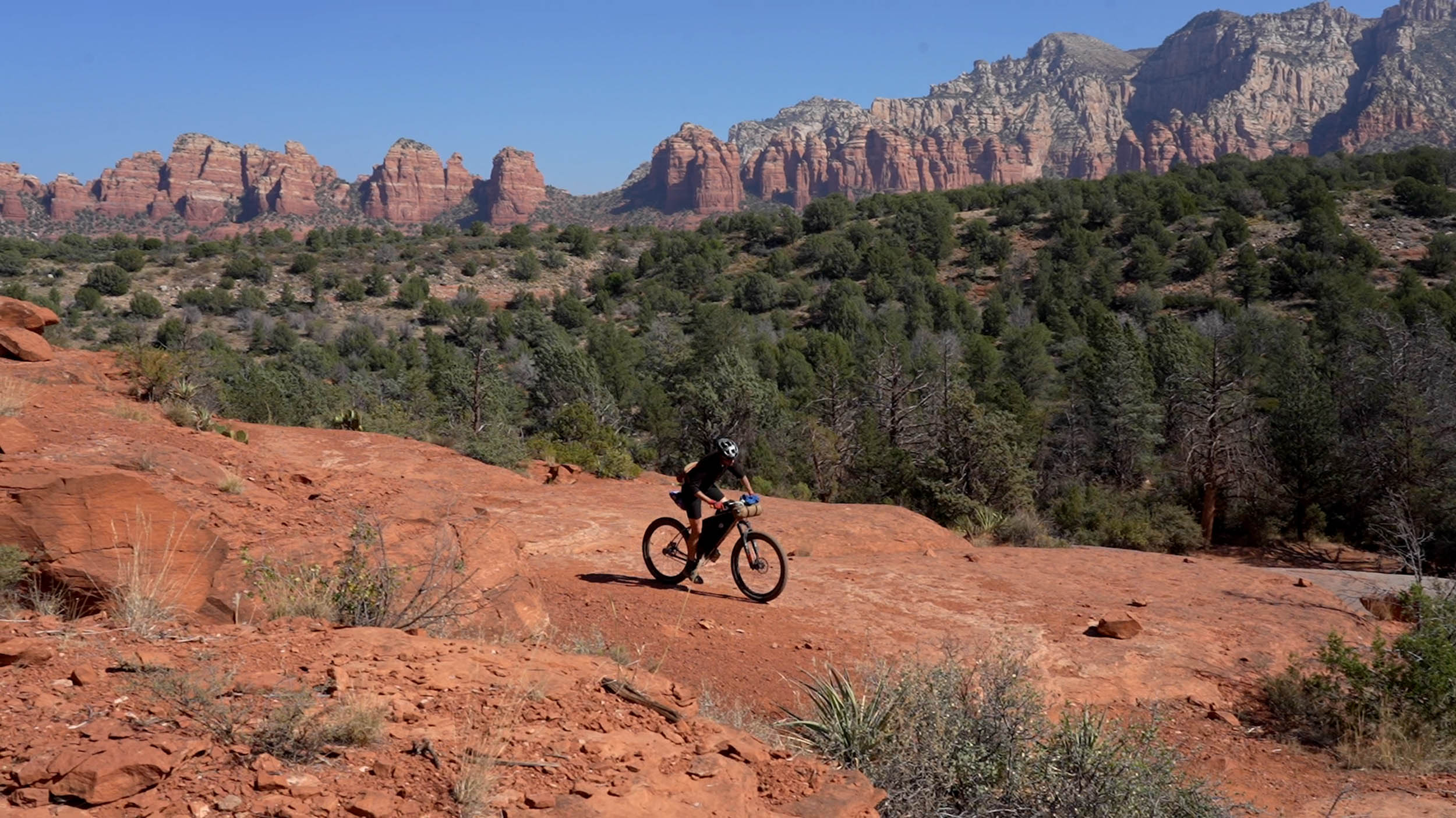
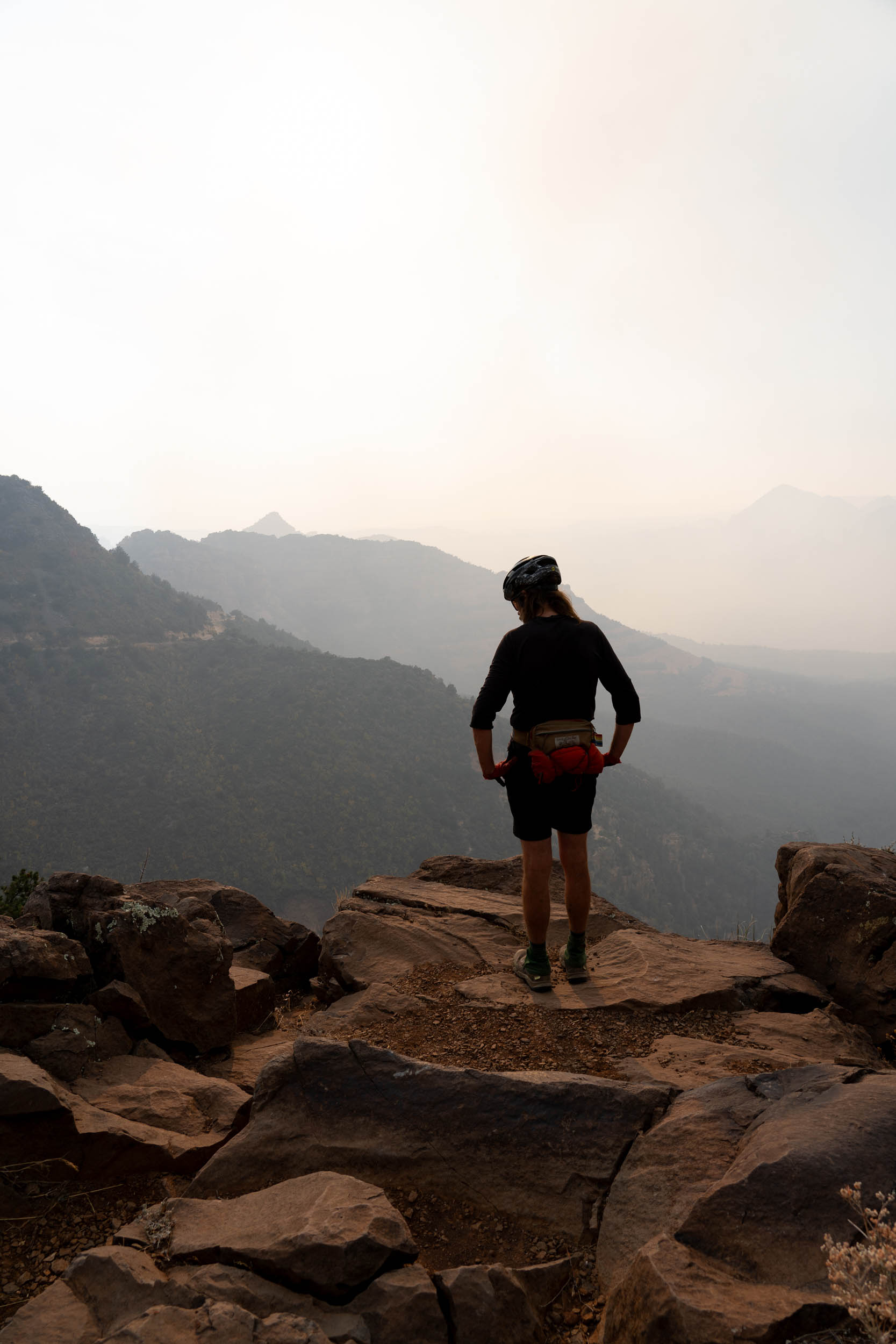
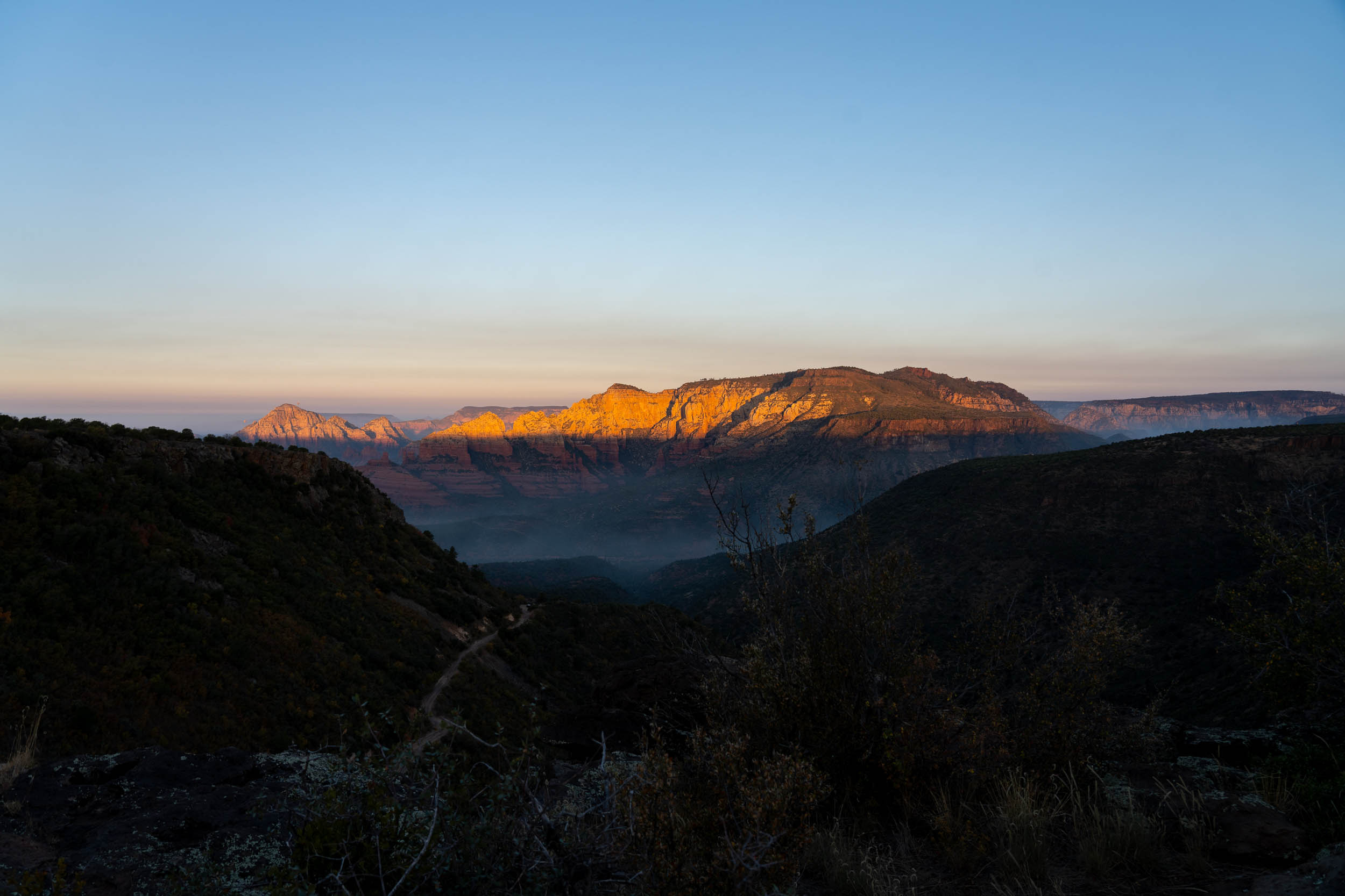
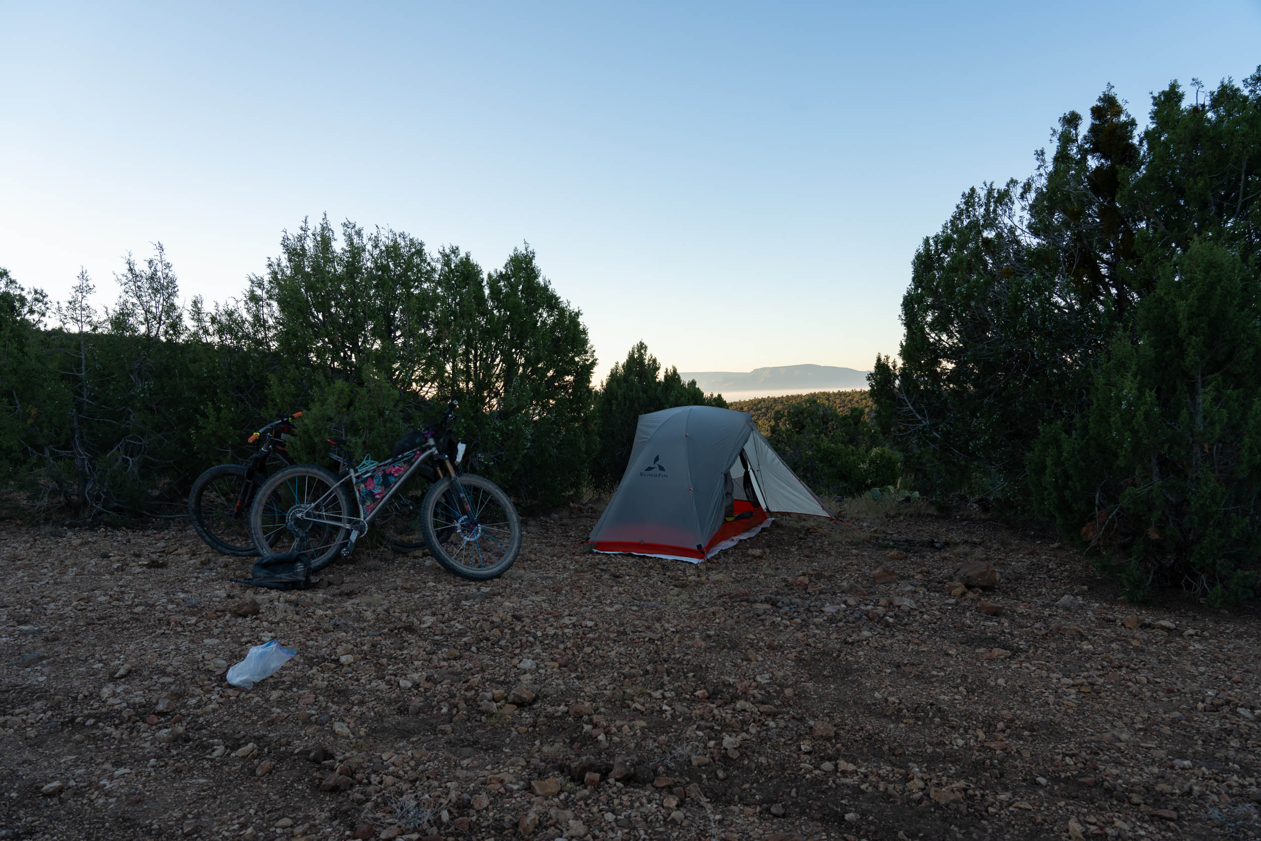
- Camping out at Schnebly Hill Overlook, above the red buttes and mesas of Sedona, before savoring the technical Munds Wagon Trail.
- Experiencing Sedona (if time allows, put aside a day to explore the trails of this world-class mountain biking mecca).
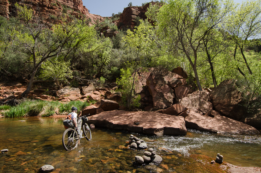
- Chilling out at Buddha Beach… home to a powerful vortex??
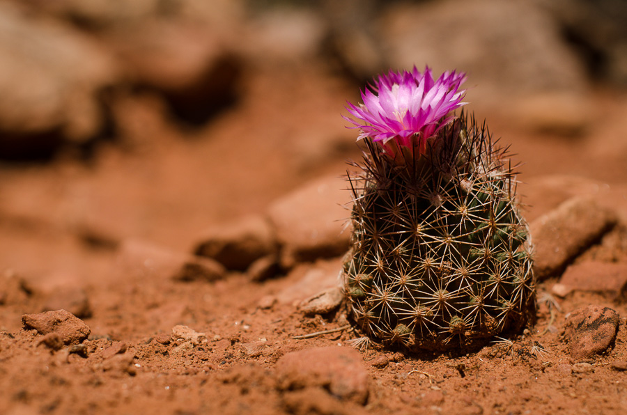
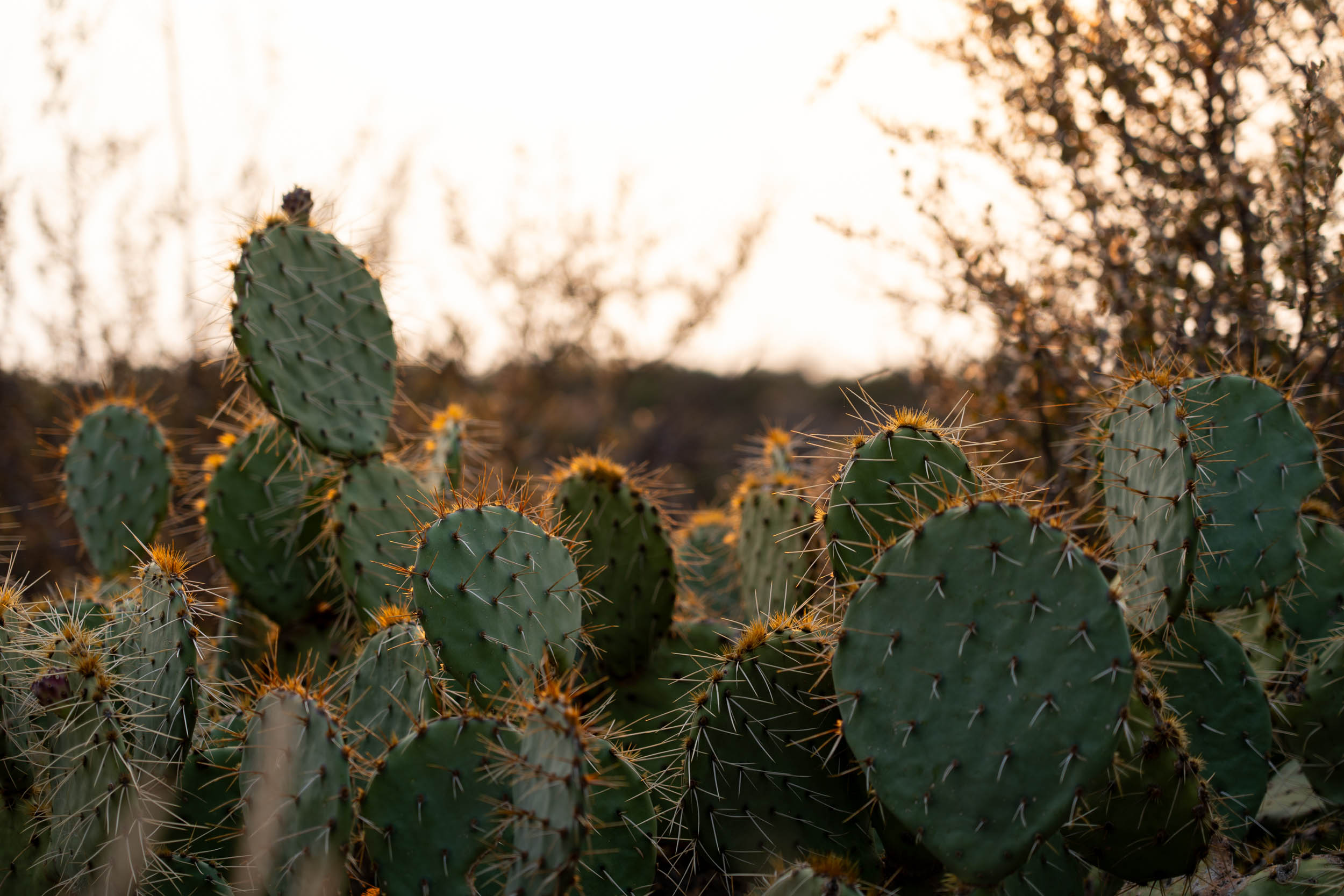
- Flowering cacti in the spring.
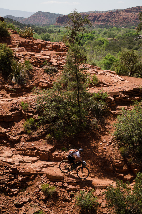
- Dodging volcanic babyheads atop Sycamore Canyon.
- The 14 mile ribbon of singletack from the Snowbowl (9200ft) into Flagstaff (6900ft) – a highlight of the northern portion of the Arizona Trail.
- Starting and ending in Flagstaff is a treat, with lots of great food options, bike shops, and things to do.
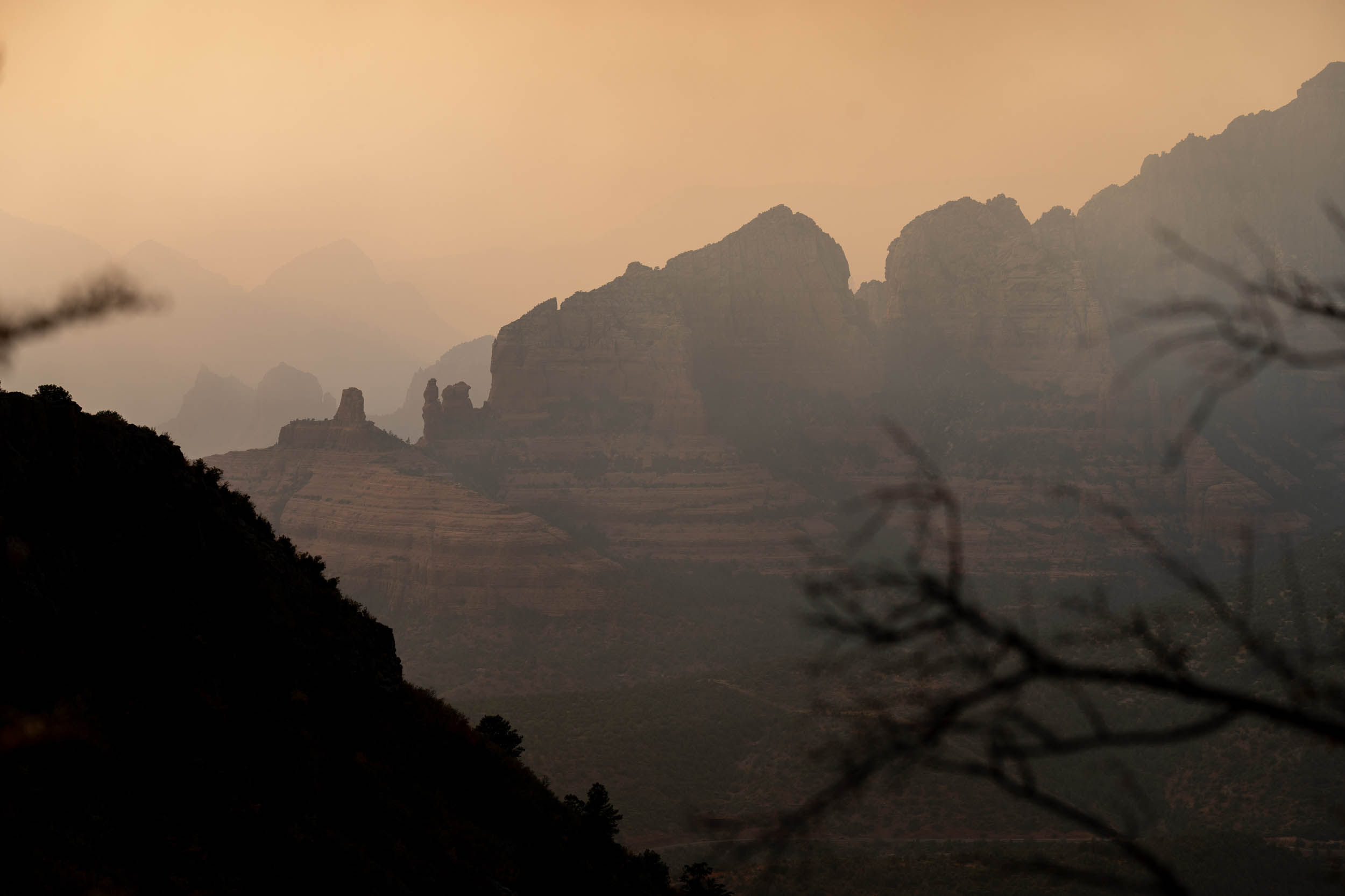
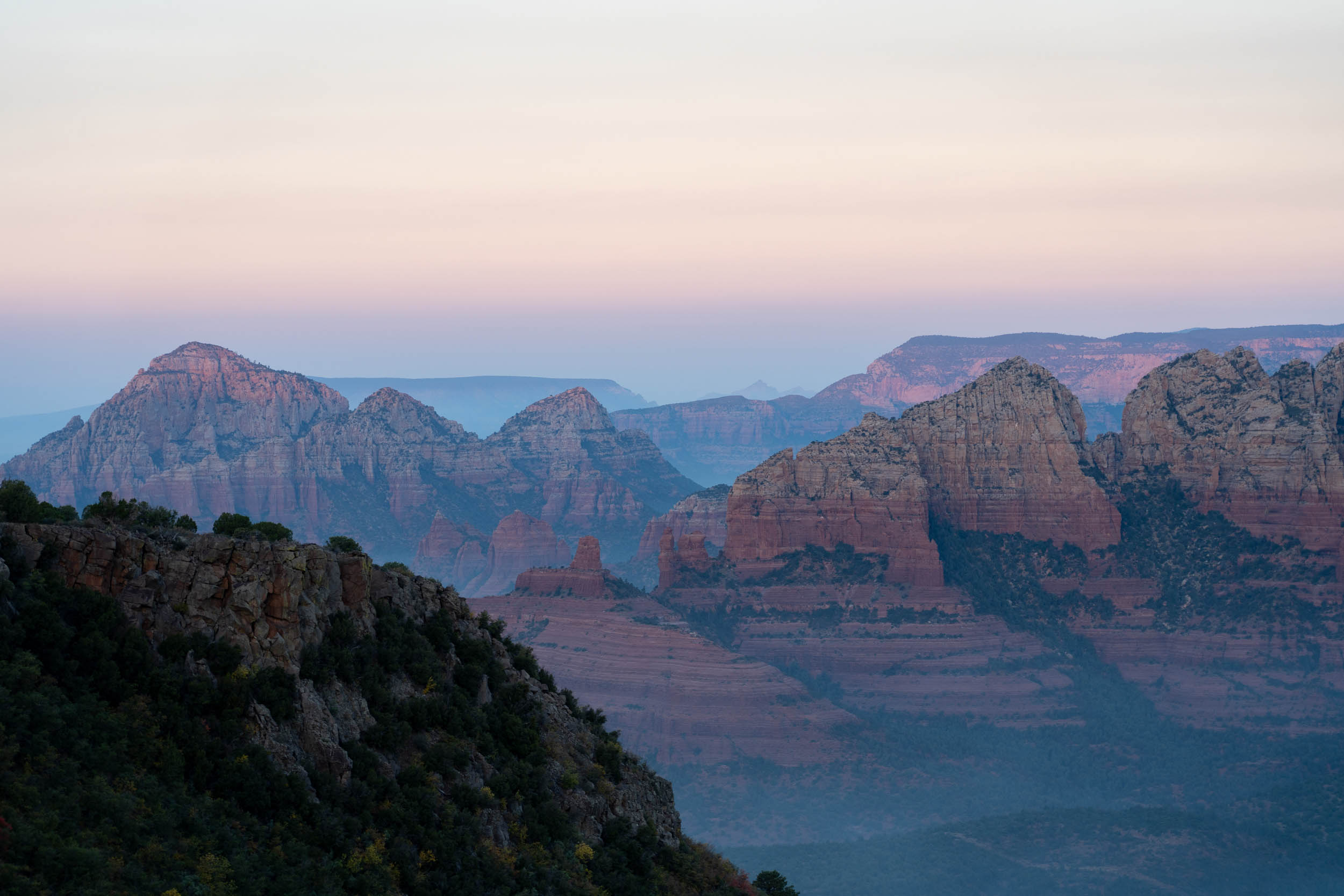
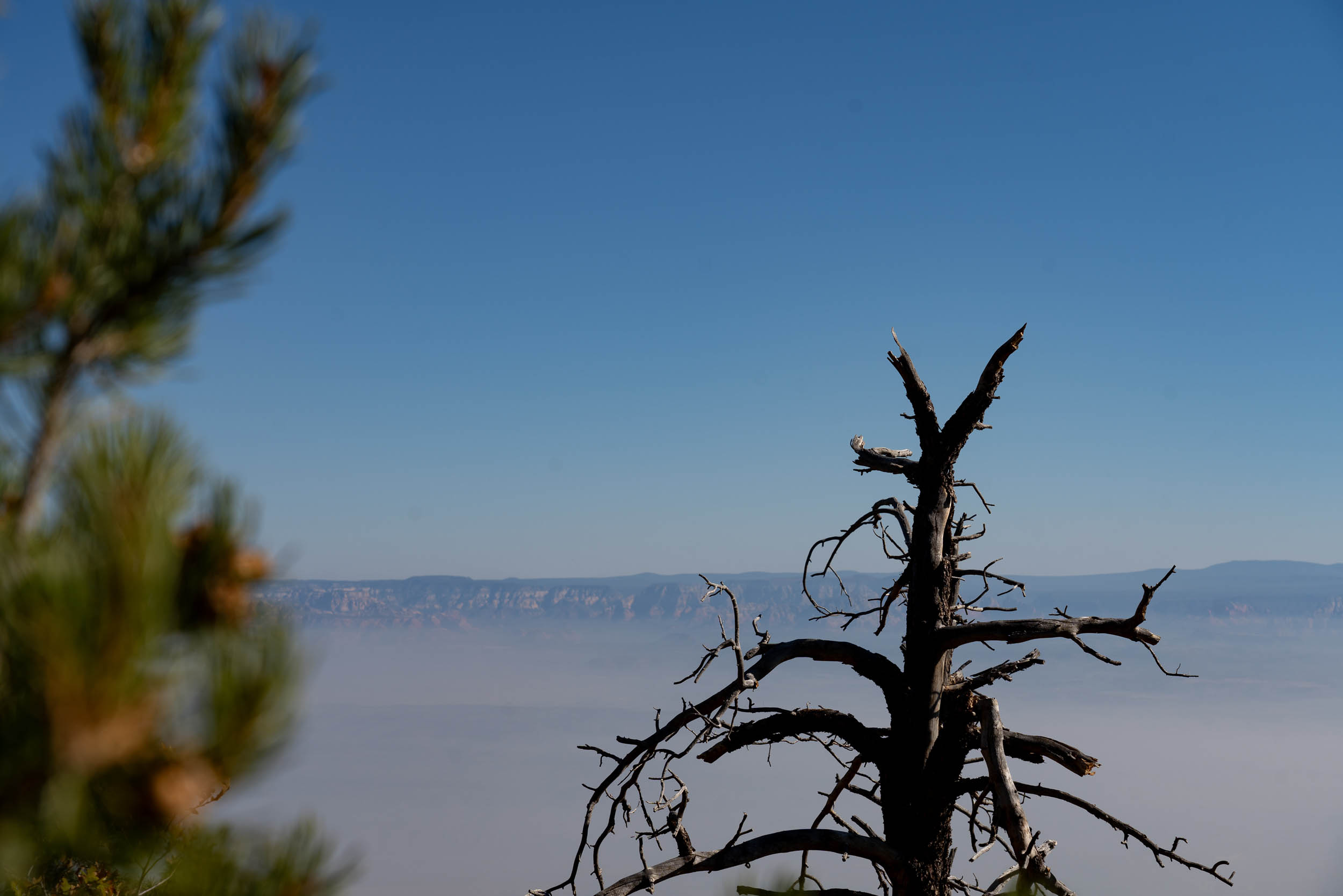
- The Coconino showcases the diversity of North-Central Arizona, from the high-elevation ponderosa forests down to the iconic red sandstone rocks and cactus of the Sedona area.
- Mingus Mountain, climbing from 3300 feet to 7800 feet over 10 miles. While very challenging, it offers rewarding views of the surrounding mountains and valleys. Good type 2 fun!
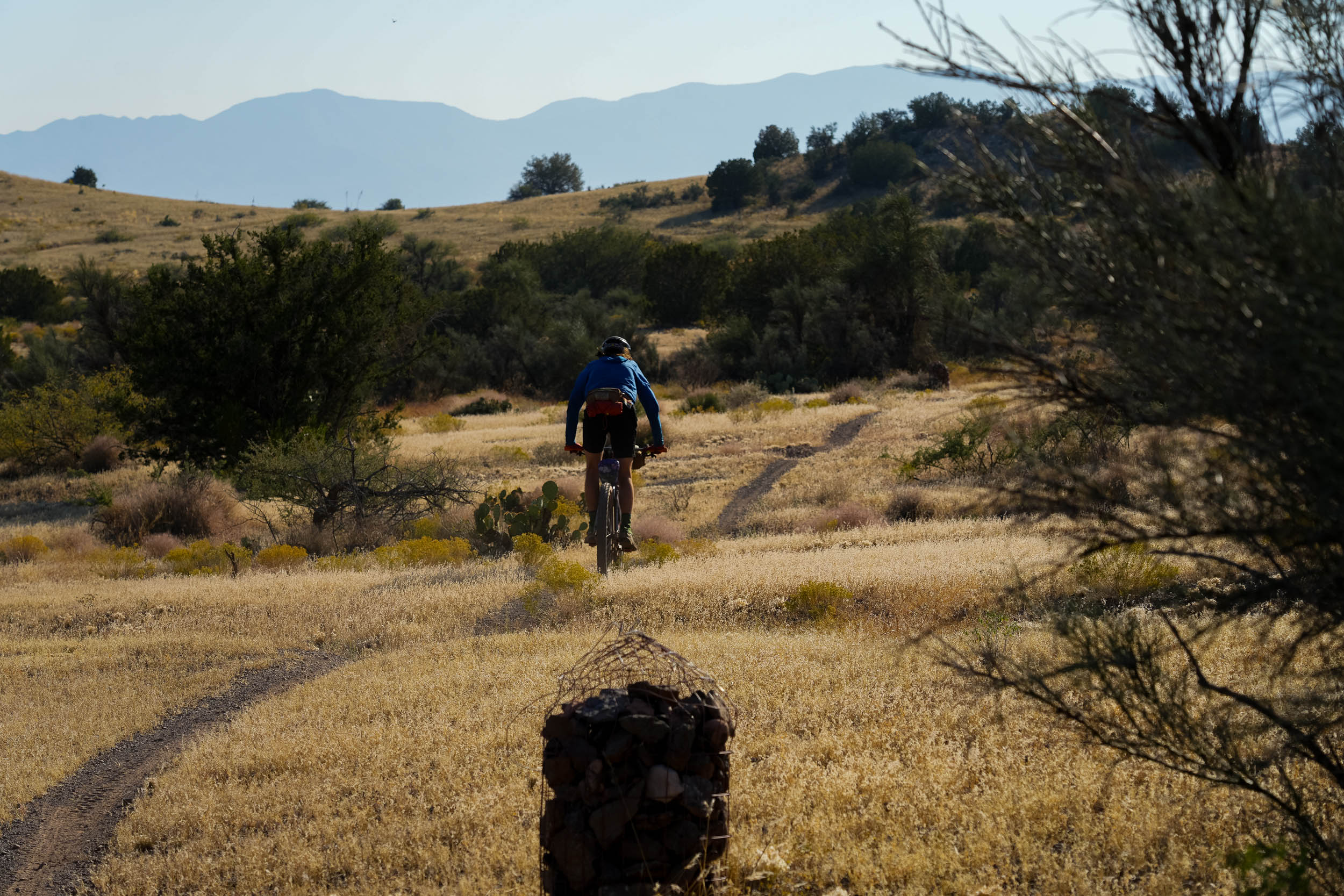
- The route travels on a collection of rough surfaces from dirt roads, two-track, and singletrack, offering a diverse set of riding experiences.
- Spring and fall are the best times to ride the Coconino Loop. In the spring, you need to wait for the snow to melt in the higher elevations around Flagstaff. You also don’t want to go too late in the summer as Sedona can be really hot.
- Fall can be perfect, but you may run into cool temperatures near Flagstaff, and the sun sets very early.
- It’s a tricky balance as the temperature differs from being up on the Mogollon Rim to being just below it. Each year can be different, so make sure to pay attention to the weather.
- Logistically, Flagstaff makes an ideal start and end point, as there’s an Amtrack station and it’s close to I40. Services include a range of hostals and affordable motels, and plenty of good quality bike shops. Revolution Bikes stocks bikepacking gear, and offers bike rental too. Basing yourself out of Sedona is another option. Both offer a network of trails to explore if you have the time.
- Segments of this trail are pretty technical, so best to ride the loop with a companion.
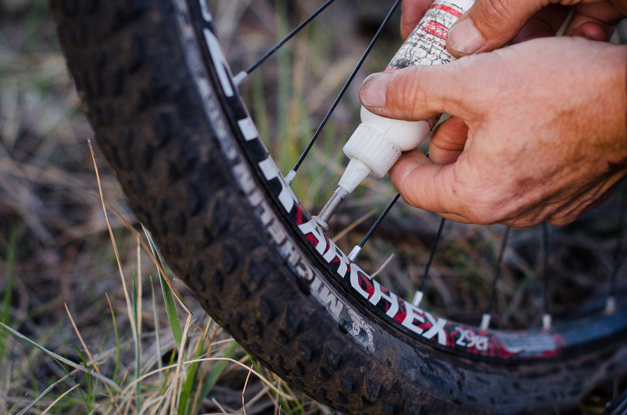
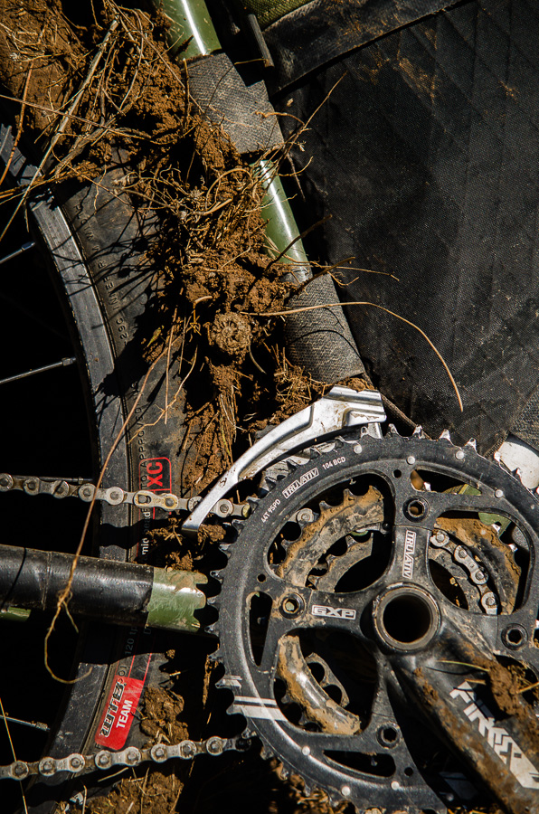
- Because of the technical nature of this trail, a hardtail is likely your best bike choice, with a suspension fork, larger volume tires, and a tubeless setup—parts of the Coconino Loop are rife with cacti and goatheads.
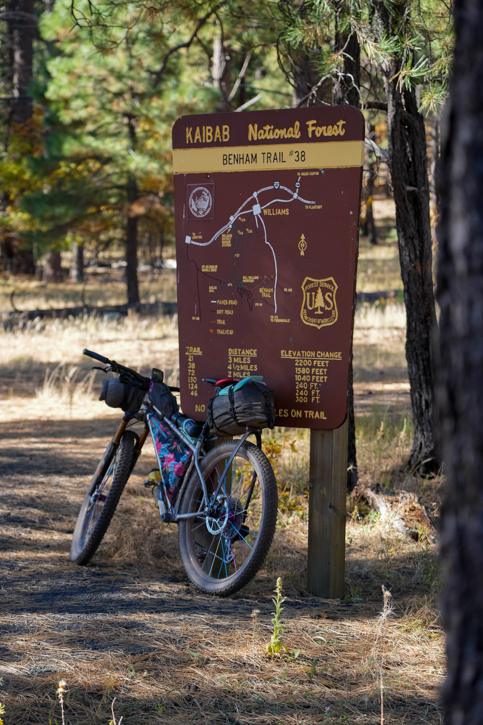
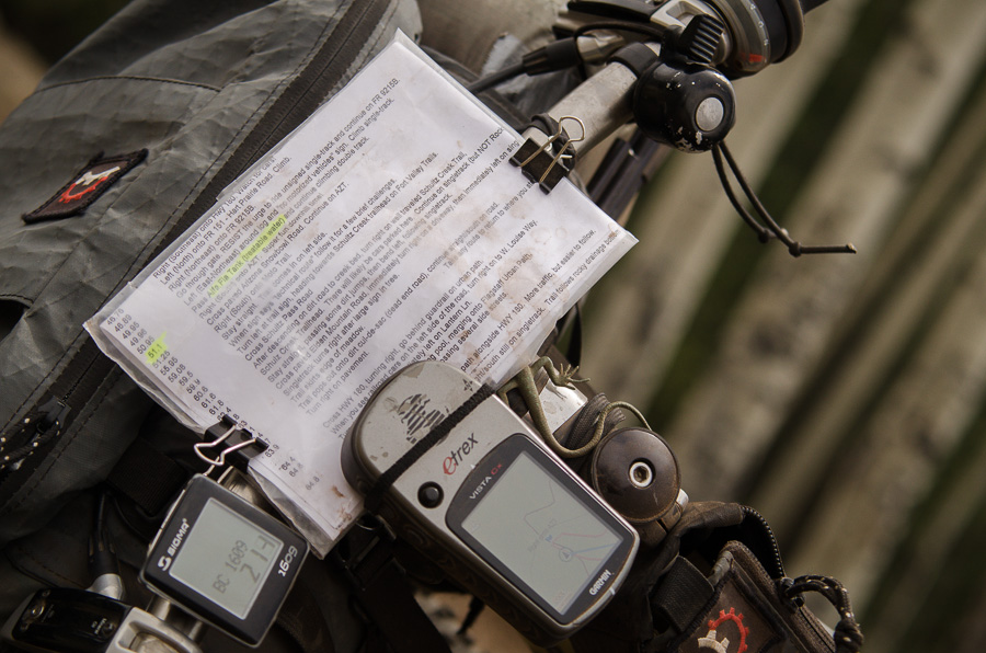
- All the relevant gpx files and waypoints can be downloaded at TopoFusion.com
- There is a misleading gate around mile 97; walk around to the left. This gate is here to limit motorized use.
- At mile 109, you will approach another gate. There is public access to non-motorized use after the gate. To open, lift the green gate or press the button on the motor on the right to open it.
- Flagstaff offers a range of hostals and affordable motels.
- Camping on top near Schnebly Hill overlook might be the best campsite view you will ever have.
- Camping is not allowed off of Sedona trails, so plan appropriately.
- Otherwise, camping is wildly abundant on this route, just pay attention to private property signage.
- Water can be tricky, but reliable and nicely spaced-out water sources are on the route. These include Sedona, Buddha Beach at Oak Creek, Red Rock State Park, Cottonwood, Spigot at Mingus Mountain, Verde River, Williams, and Parks.
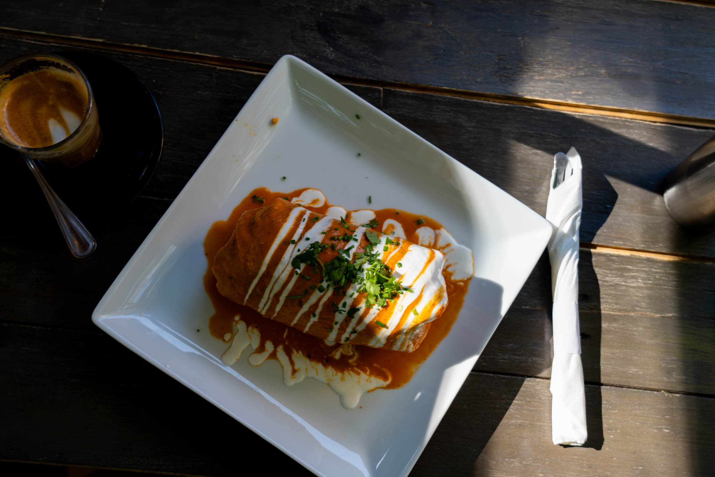
- Sedona, Cottonwood, and Williams all offer a unique experience with downtowns that offer good food and unique shops.
Neil and Chris recently tackled the 250-mile Coconino Bikepacking Loop, journeying through the ponderosa-filled landscapes of northern Arizona, Sedona’s iconic red rocks, the legendary Mingus Mountain, and a super fun stretch of the Arizona Trail. Despite facing a sweltering fall heatwave, they completed the route in five days and had a blast doing so. In our latest route video, Neil and Chris bring viewers along for a wild ride.
Coco Lite – the Mingus Bypass
I’m all for shouldering my bike – but if there’s a good dirt road alternative, I’m happy to take that too. To avoid the route’s most infamous hike ‘n bike, take the Mingus Mountain Bypass (see separate gpx file), which skirts around the top of the mountain, keeping to more mellow forest roads. It meets the route some 10 miles later. We noticed that it’s also possible to turn off onto a graded dirt road at a couple of points en route to the Bill Williams Overlook, saving yourself some potential off-the-bike toils. If the trail on the other side of the overlook is littered with blowdown, you can follow a dirt road down into Williams too.
Timeframe
The Coconino loop is generally raced in 4 stages as part of the Arizona Endurance Series , though madmen tackle it in one fell swoop (for the grand prize of a box of donuts, no less). As mere mortals, we rode it in 4 and a half days. If traveling from afar, consider spending an extra day of mountain biking in Sedona, where technical trails abound – a few hours in Flagstaff could easily be put to good use too. I’d add to that our first day out of Flag was slowed down considerably by tacky, clay-like mud on the Anderson Plateau, thanks to rain the previous night. So keep an eye on the weather.
Update: as of August 18, 2025, FSR 354 (mile 138) is closed to all uses. Below is a suggested alternate route to bypass the closure and rejoin the route:


Terms of Use: As with each bikepacking route guide published on BIKEPACKING.com, should you choose to cycle this route, do so at your own risk. Prior to setting out check current local weather, conditions, and land/road closures. While riding, obey all public and private land use restrictions and rules, carry proper safety and navigational equipment, and of course, follow the #leavenotrace guidelines. The information found herein is simply a planning resource to be used as a point of inspiration in conjunction with your own due-diligence. In spite of the fact that this route, associated GPS track (GPX and maps), and all route guidelines were prepared under diligent research by the specified contributor and/or contributors, the accuracy of such and judgement of the author is not guaranteed. BIKEPACKING.com LLC, its partners, associates, and contributors are in no way liable for personal injury, damage to personal property, or any other such situation that might happen to individual riders cycling or following this route.
Please keep the conversation civil, constructive, and inclusive, or your comment will be removed.