


The Arizona Trail (AZT) Bikepacking Route
Distance
739 Mi.
(1,189 KM)Days
21
% Unpaved
90%
% Singletrack
65%
Total Ascent
64,961'
(19,800 M)High Point
9,007'
(2,745 M)Difficulty (1-10)
8?
- 6Climbing Scale Moderate88 FT/MI (17 M/KM)
- -Technical Difficulty
- -Physical Demand
- -Resupply & Logistics
Contributed By

Scott Morris
Topo Fusion
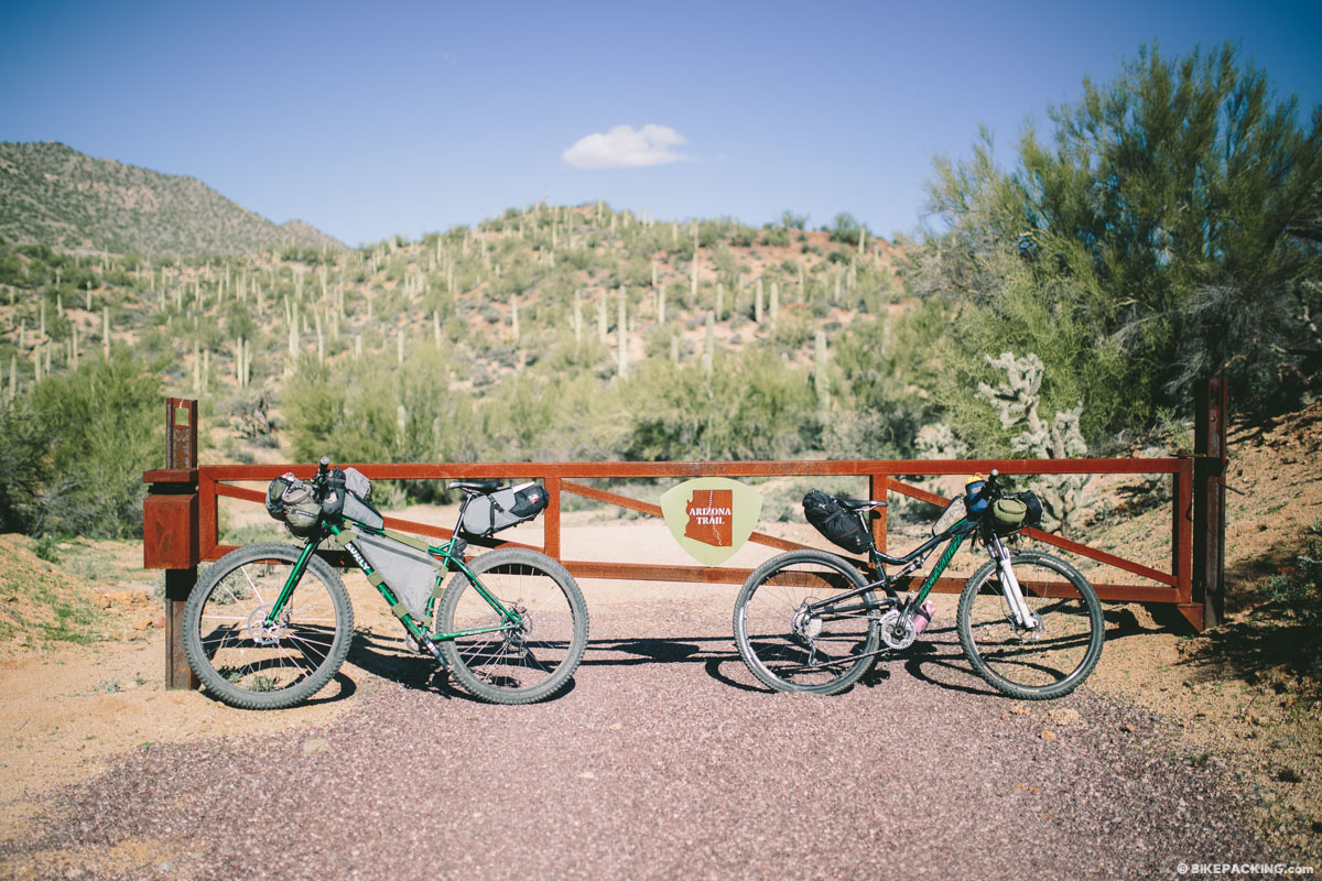
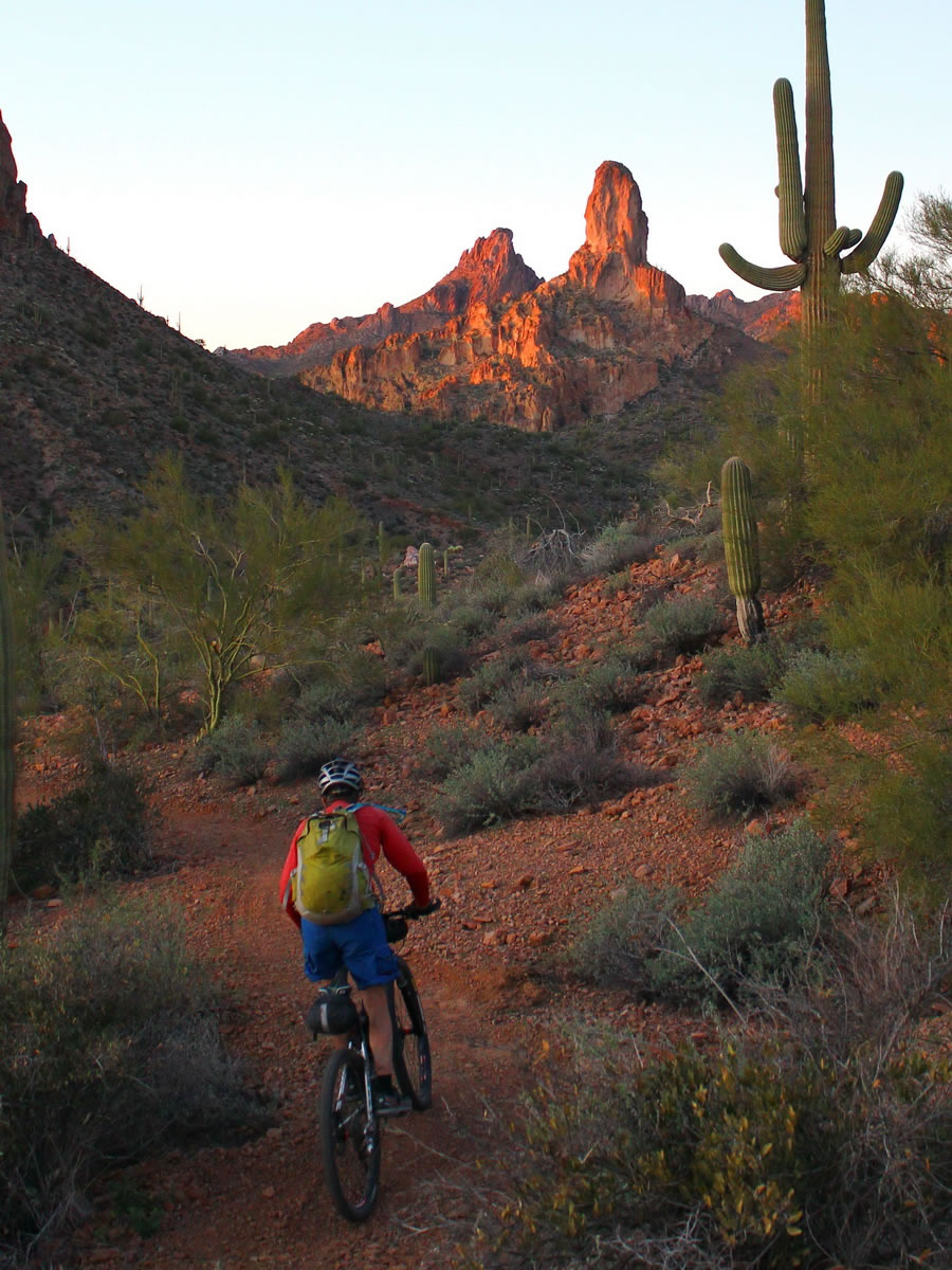
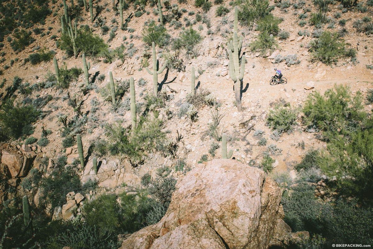
Completed in 2011, the trail stretches some 800 miles and covers the Grand Canyon state from Mexico to Utah. Ride from the desolate environment of the saguaro cactus to Flagstaff’s stands of pine trees, and everything in between. The AZT is a multi-use trail, open to mountain bikers everywhere outside of Wilderness, with many sections being designed and built to high standard.
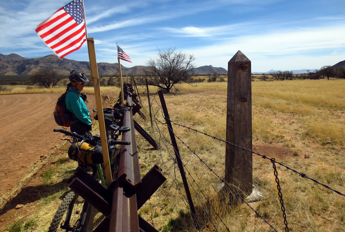
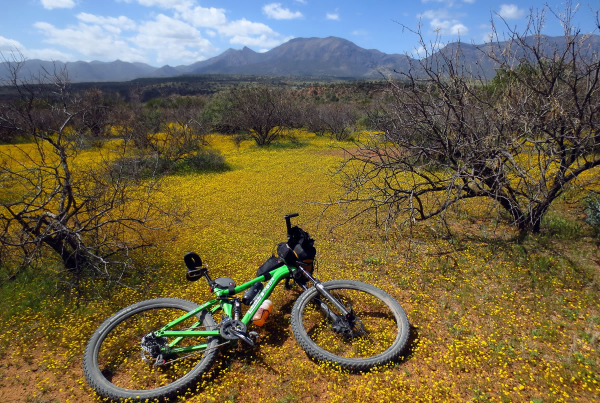
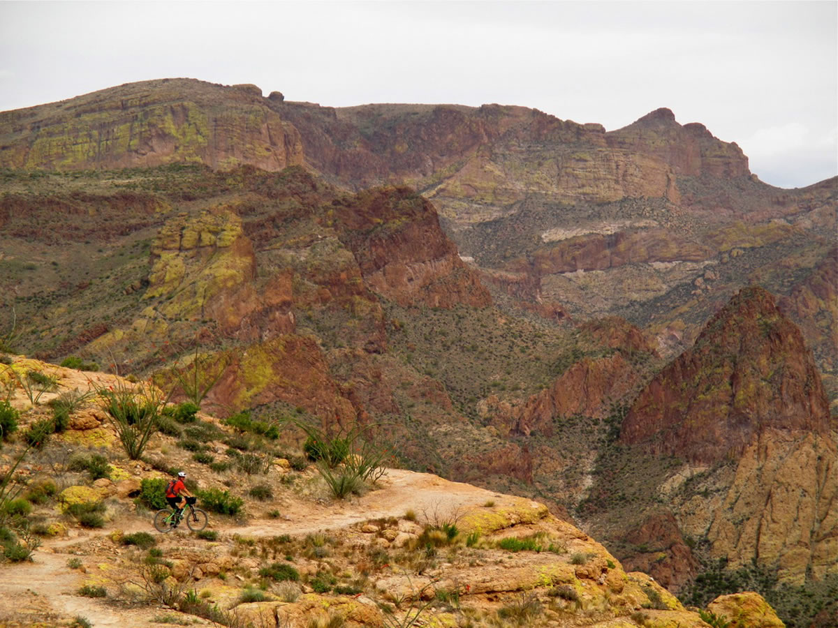
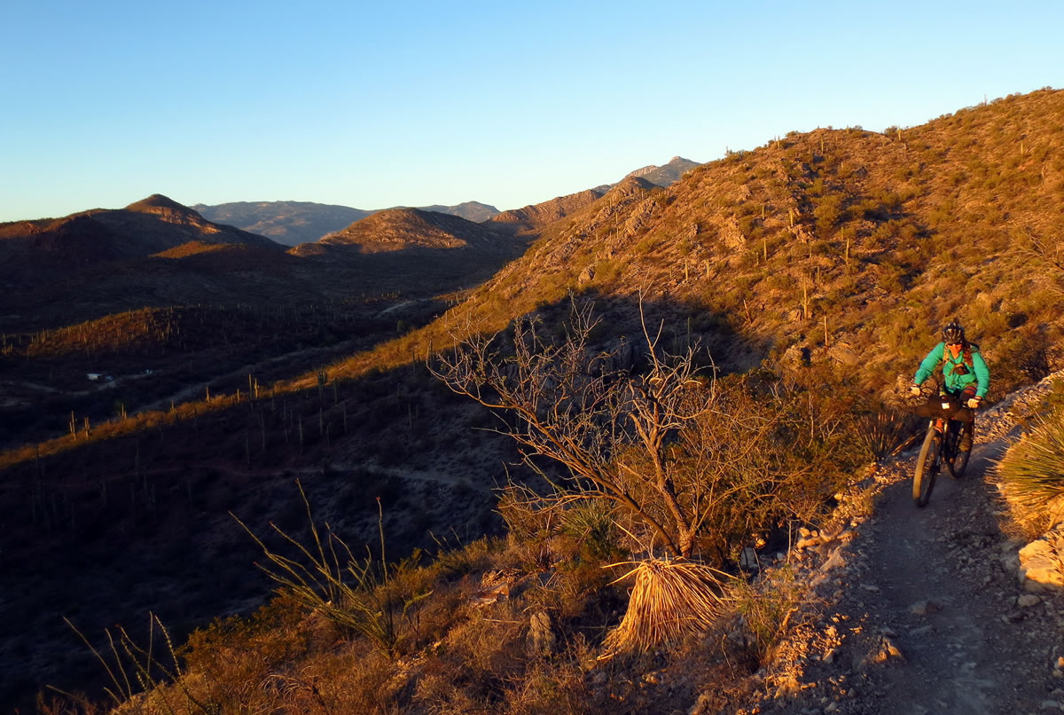
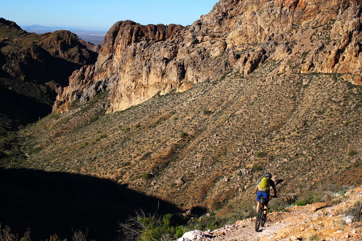
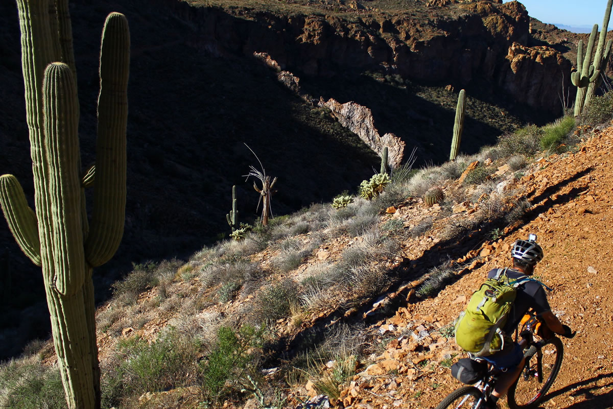
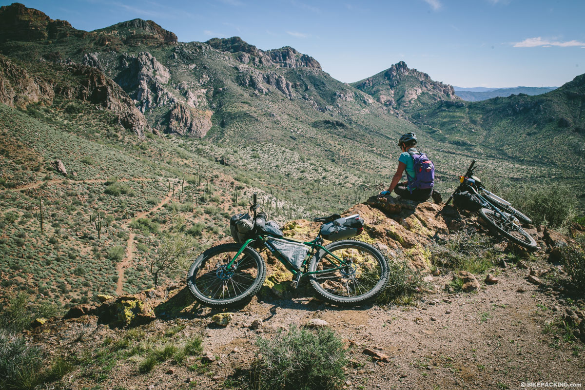
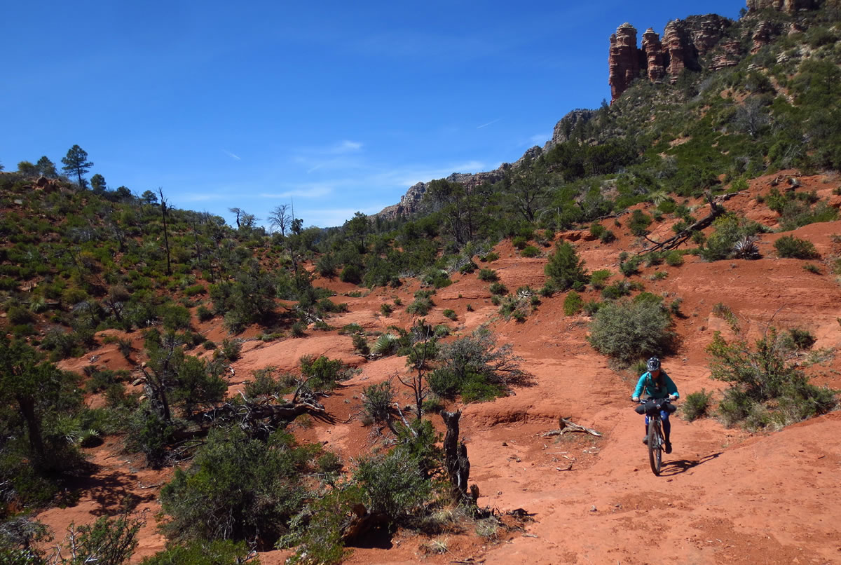
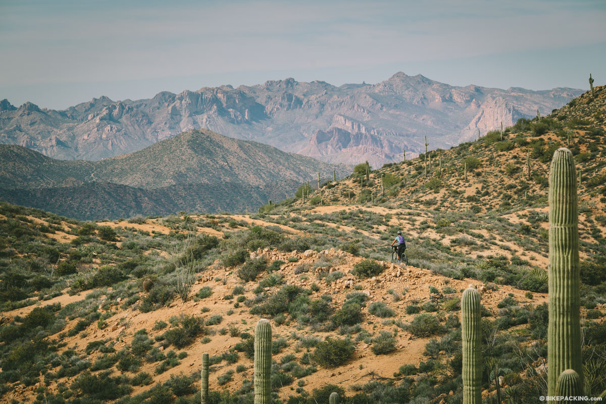
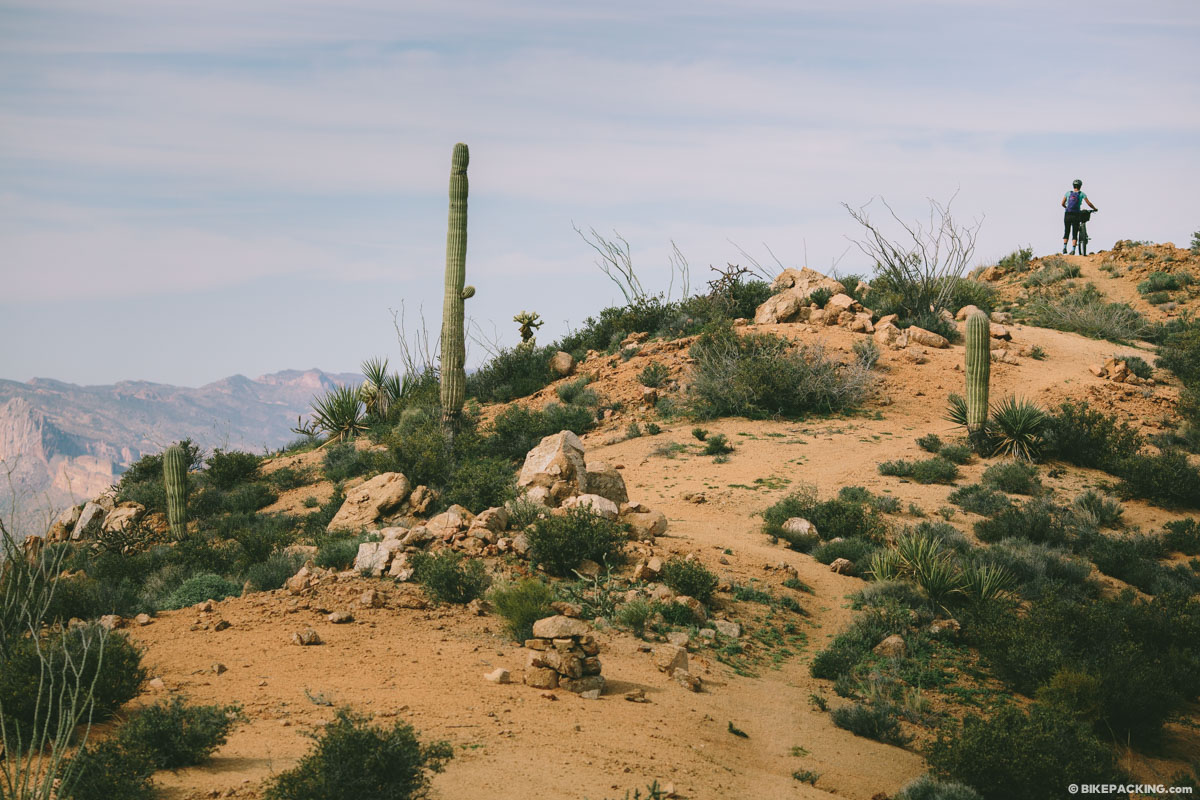
The Arizona Trail might be the most diverse bikepacking route around. Stretching from the Mexico border, it travels through deserts, mountain ranges, canyons and a multitude of ecosystems. From Grasslands to Saguaro National Park, over the Sky island mountain ranges, up the Mogollon rim, through the Grand Canyon, and up the Kaibab Plateau. This route is a geologist’s dream.


Visit Topofusion.com's official race route page to get the latest updated GPX.
Highlights
Must Know
Camping
Food/H2O
Resources
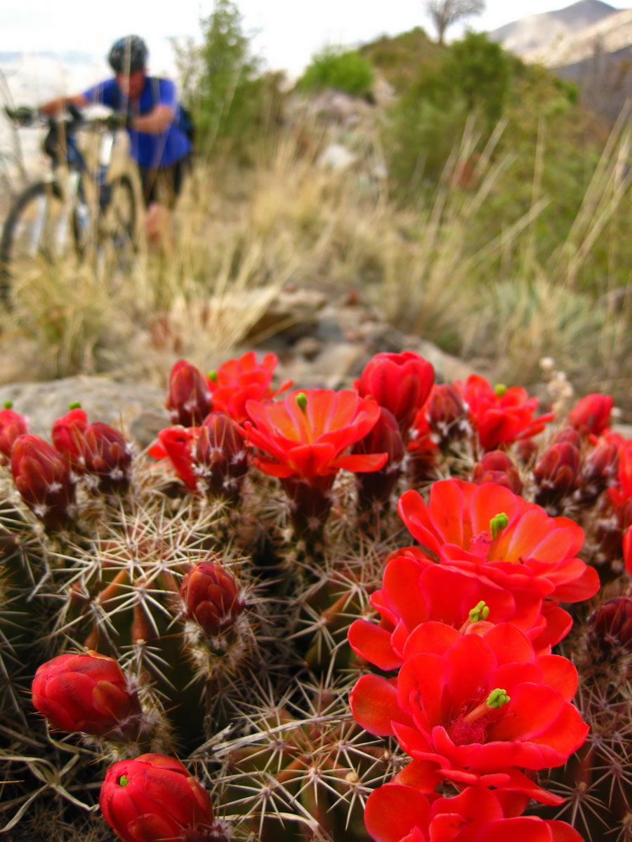
- The sheer diversity of terrain, vegetation and wildlife on this trail are a major attraction.
- The Sonoran desert is one of the most biologically interesting environments in the world.
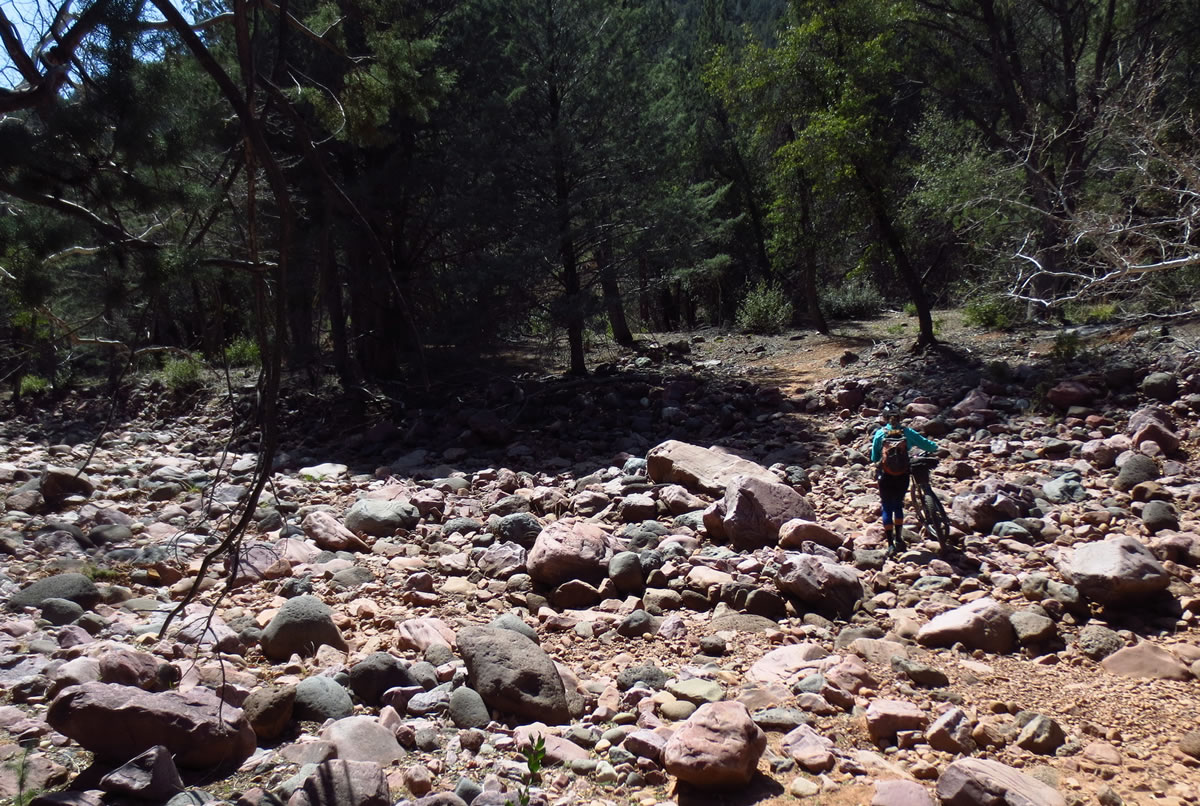
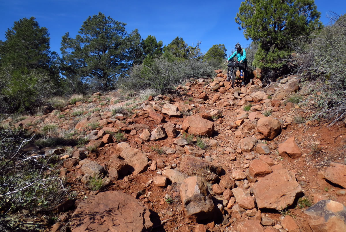
- Many trail sections can be quite technical and rocky. Mountain biking!
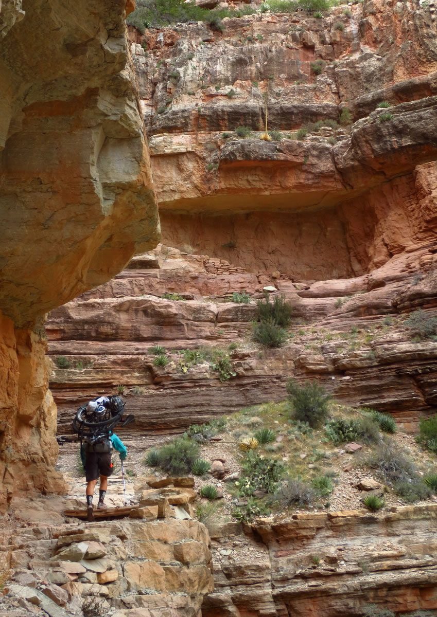
- The Grand Canyon is one of the great wonders of the earth. No experience quite compares to riding your bike to one rim of the canyon, dissassembling it, crossing on foot, then riding away from the other side. A true ‘bikepack’ in every sense of the word.
- The Grand Canyon is a major obstacle for AZT thru-riders. The options are: 1) ride 200 miles around on pavement. 2) shuttle bikes around the canyon and hike with only camping gear. 3) disassemble bikes and carry them across. The third option is the easiest logisitically, but hardest physically. The rule for crossing the canyon with a bike is that the ‘wheels cannot touch the ground’, meaning you must carry the bike, not push it.
- It’s best to run an ultralight setup due to the demanding nature of the terrain. Even more necessary is some form of tire/tube sealant!
- The AZT has quite a bit of “hike-a-bike” and rough conditions. Pack light and expect to spend time on your feet.
- Dirt road options are available to skip some of the gnarlier sections, if desired.
- This is a desert ride — bring sealant for tires and carry multiple spare tubes.
- Spring and Fall are the only seasons the trail is passable. Summer is dangerously hot and the mountains will be snowbound in winter.
- Primitive camping options abound on the AZT. Good spots are easy to find right along the trail. The trail does pass through a number of developed campgrounds, but not enough to reach one every night.
- Camping permits are only required in one area — Grand Canyon National Park. Permits can be obtained from the backcountry office, and they have provisions for thru-riders who cannot predict their arrival date to reserve in advance.
- Generally the AZT encounters a trail town every 100 miles, making resupply fairly straightforward. Some stretches, while only ~100 miles, could be 3+ days out, depending on pace.
- Water sources can be as much as 50 miles apart, so careful planning is needed for some stretches. There are informal water caches that are reliably stocked during the spring and fall for trail travelers, easing the burden.
For more information, check out the following links:


Terms of Use: As with each bikepacking route guide published on BIKEPACKING.com, should you choose to cycle this route, do so at your own risk. Prior to setting out check current local weather, conditions, and land/road closures. While riding, obey all public and private land use restrictions and rules, carry proper safety and navigational equipment, and of course, follow the #leavenotrace guidelines. The information found herein is simply a planning resource to be used as a point of inspiration in conjunction with your own due-diligence. In spite of the fact that this route, associated GPS track (GPX and maps), and all route guidelines were prepared under diligent research by the specified contributor and/or contributors, the accuracy of such and judgement of the author is not guaranteed. BIKEPACKING.com LLC, its partners, associates, and contributors are in no way liable for personal injury, damage to personal property, or any other such situation that might happen to individual riders cycling or following this route.
Please keep the conversation civil, constructive, and inclusive, or your comment will be removed.