


The Gila River Ramble: Bikepacking the Superstitions
Distance
112 Mi.
(180 KM)Days
3
% Unpaved
100%
% Singletrack
50%
% Rideable (time)
99%
Total Ascent
10,548'
(3,215 M)High Point
3,725'
(1,135 M)Difficulty (1-10)
7?
- 6Climbing Scale Moderate94 FT/MI (18 M/KM)
- -Technical Difficulty
- -Physical Demand
- -Resupply & Logistics
Contributed By

Scott Morris
Topo Fusion
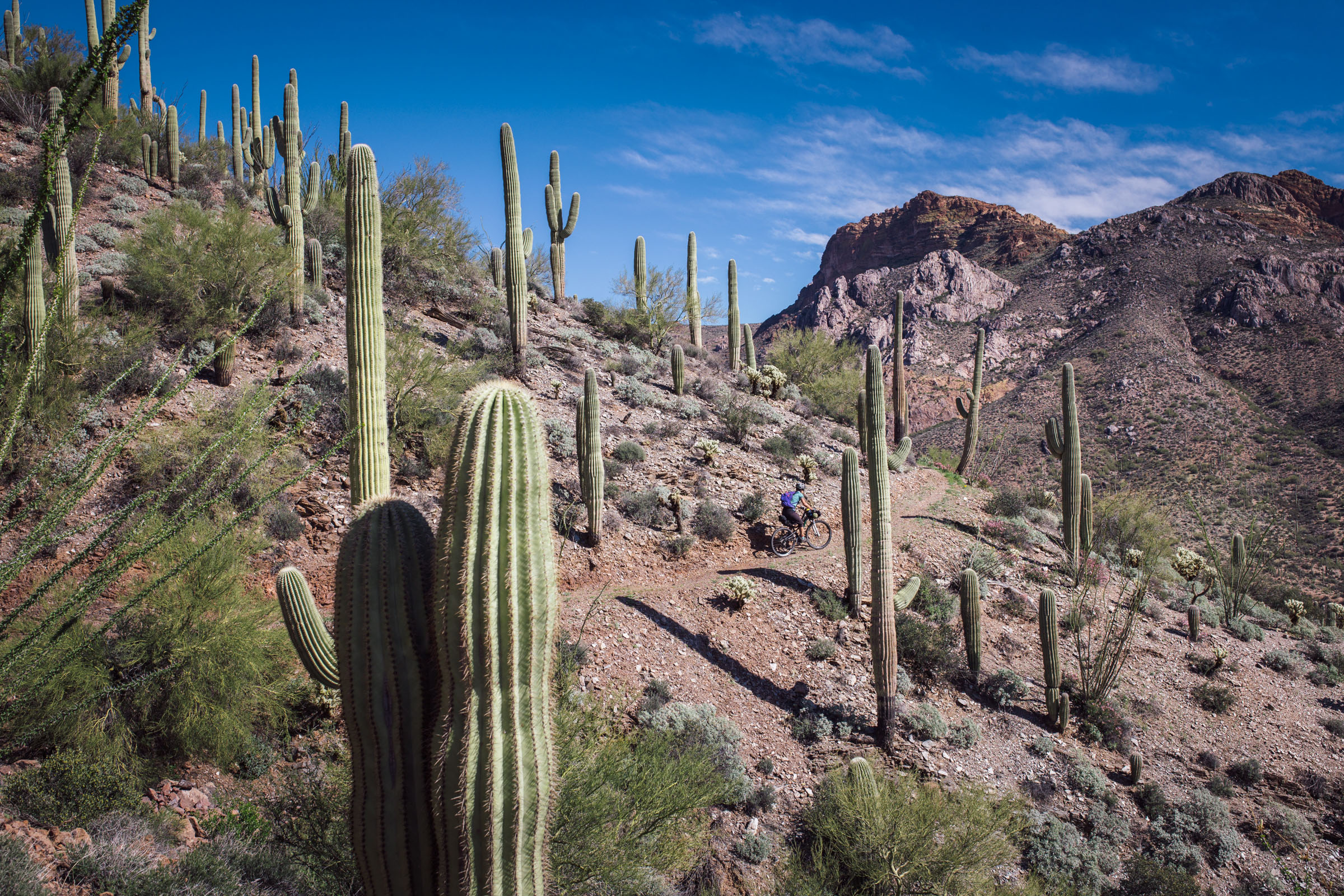
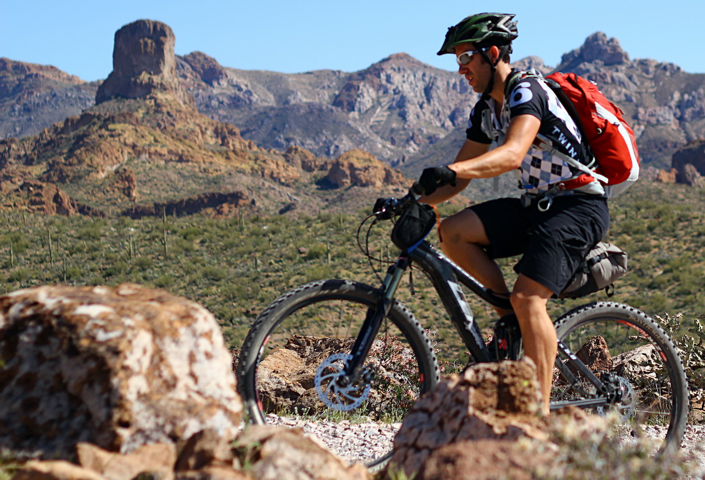
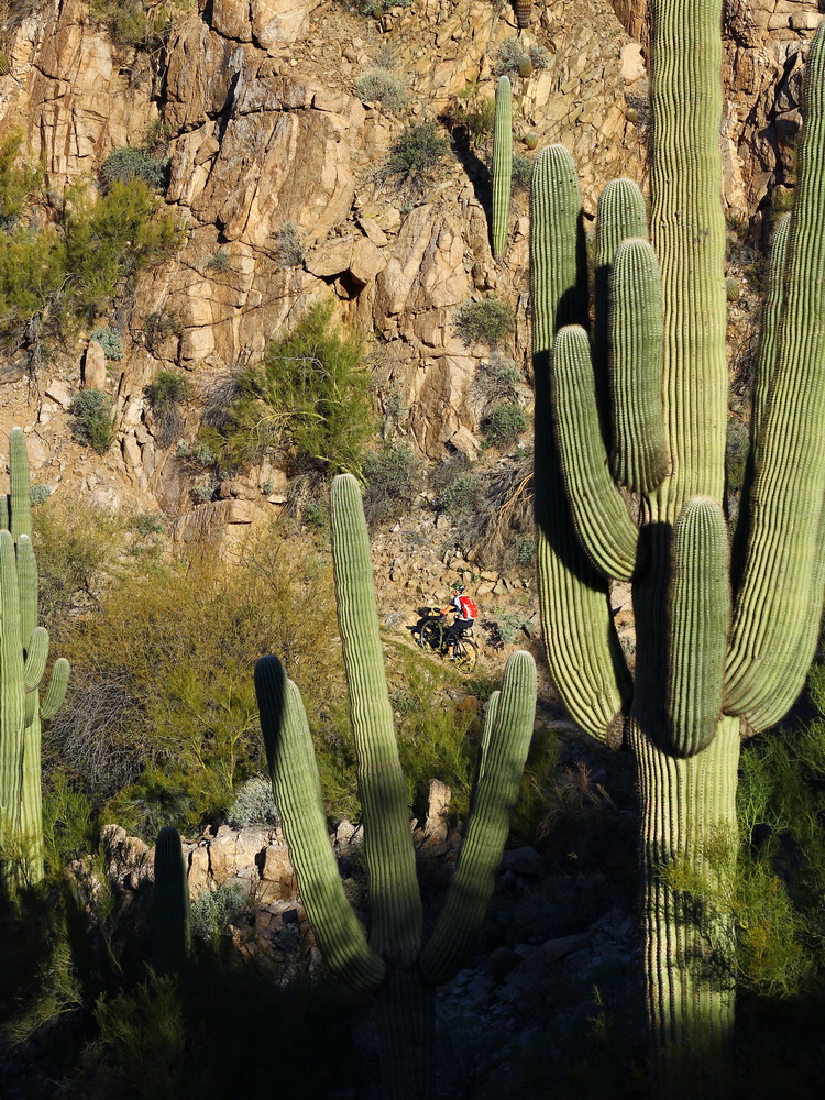
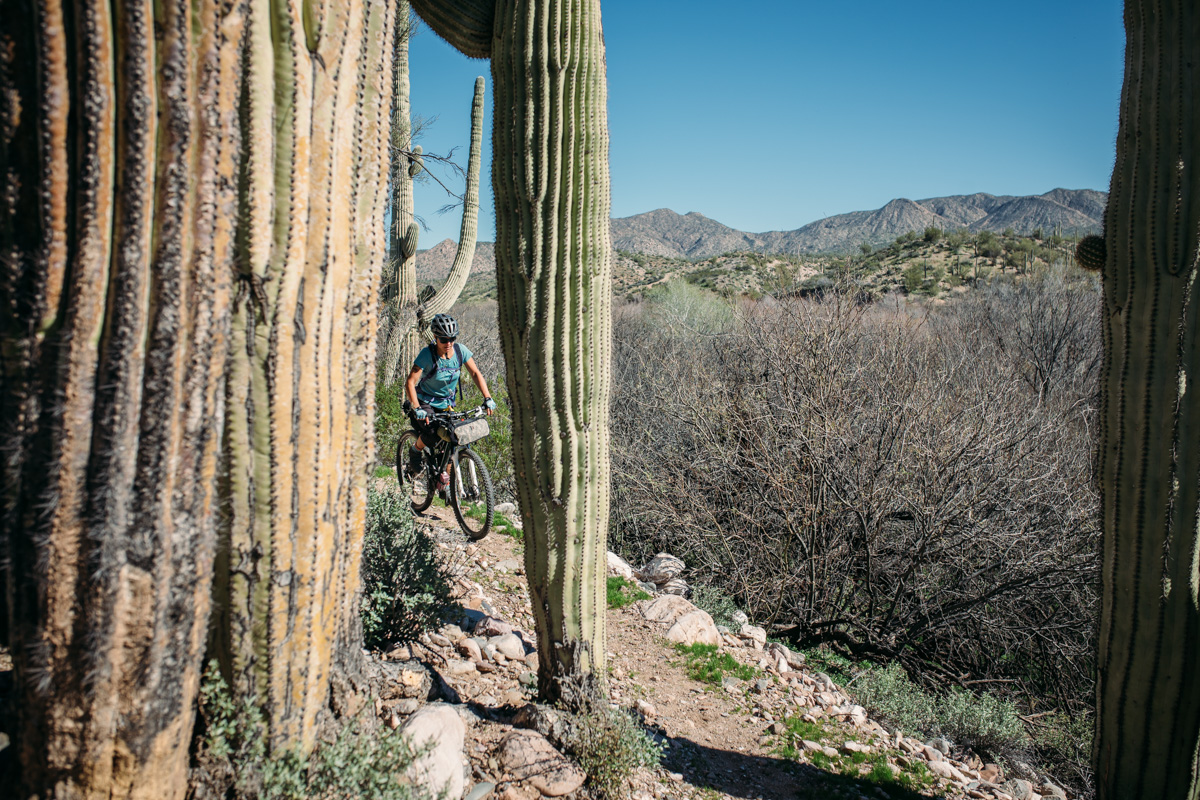
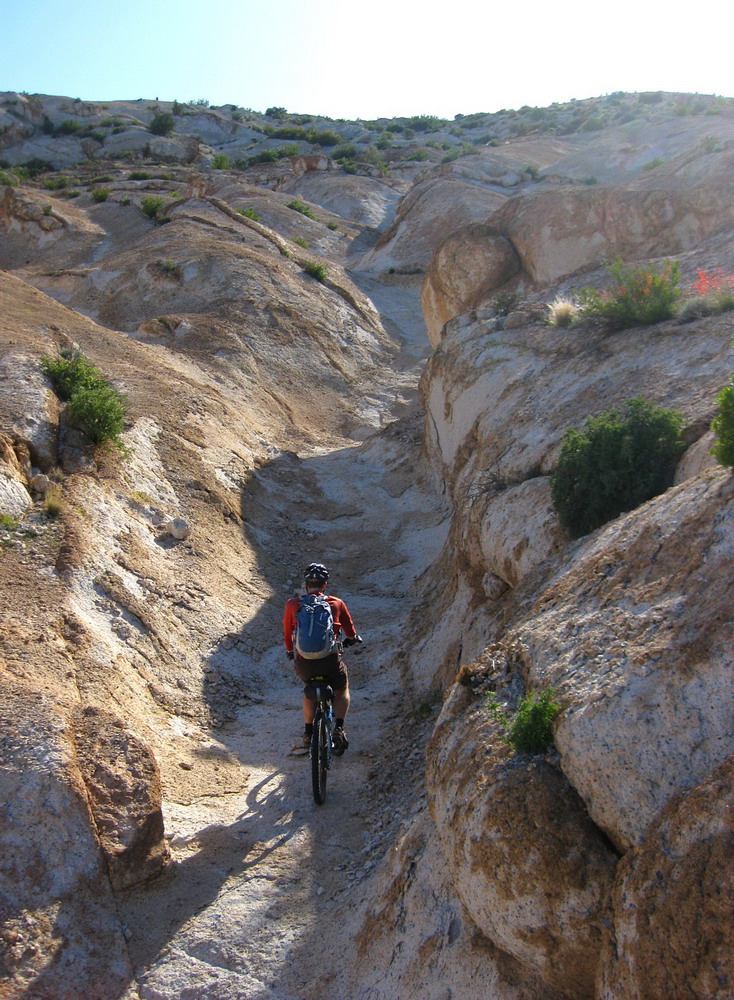
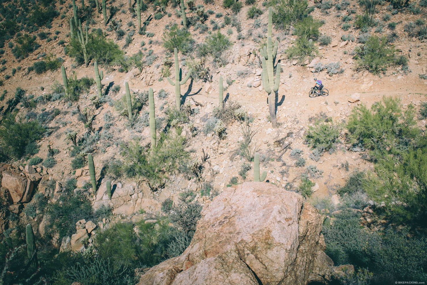
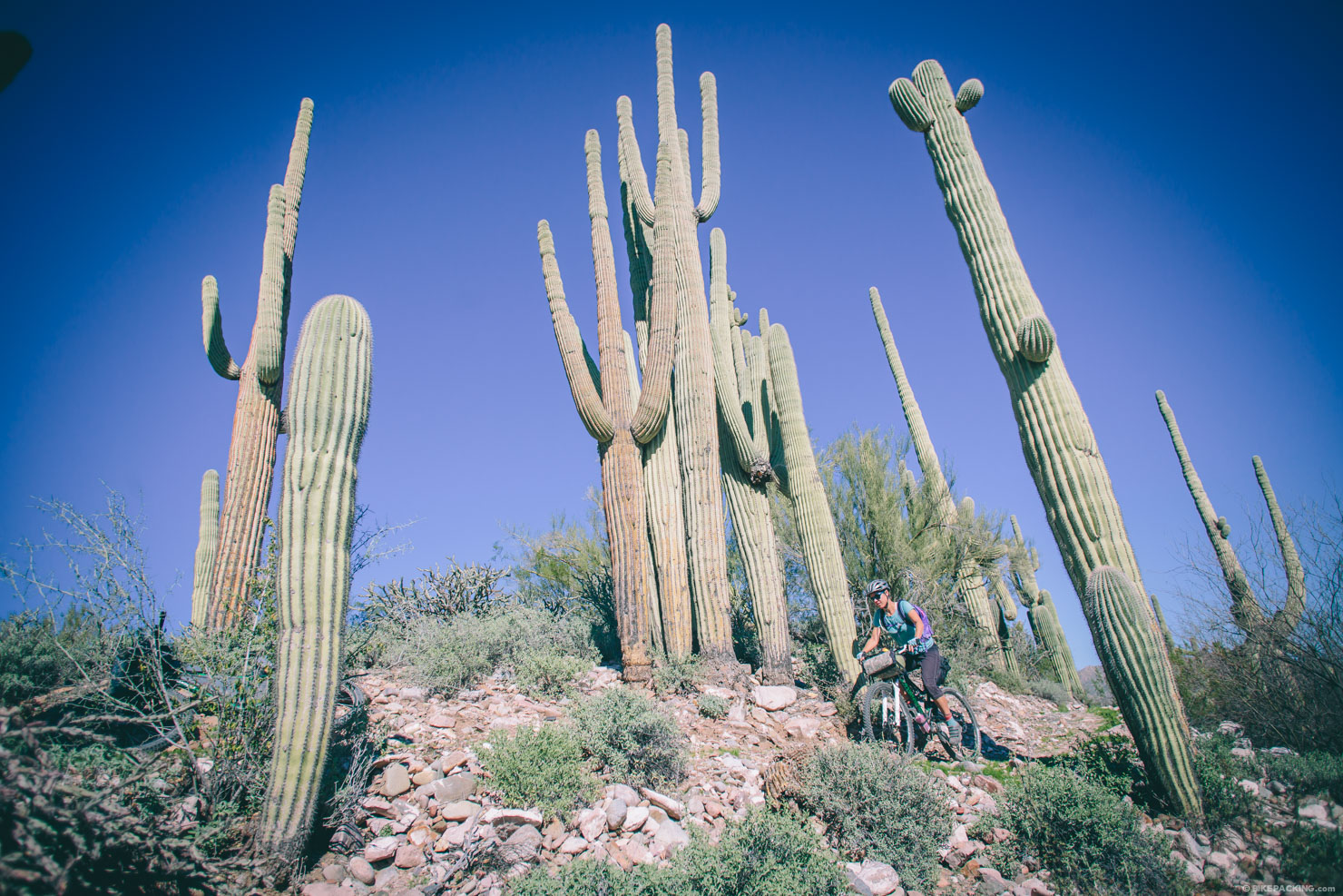
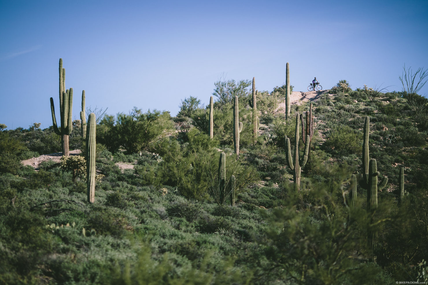
This mind-bending desert bikepacking route starts in Kelvin, where the Gila River carves through a wondrous slice of deep canyon land lined by massive saguaro sentinels and walled by mineral rich rhyolite cliffs. The 112 mile route is an extremely well orchestrated loop with a pristine and relatively new stretch of the AZT as its backbone.
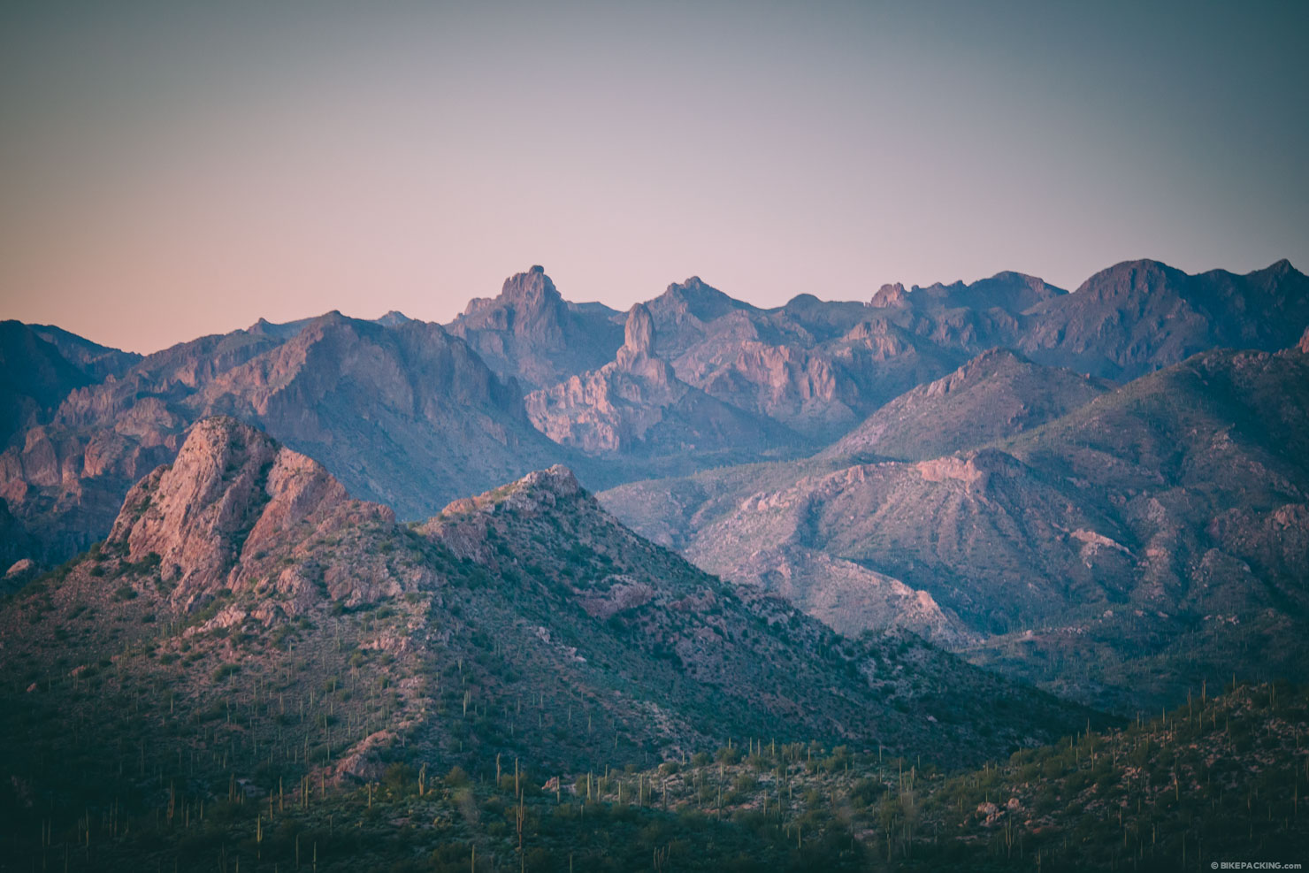
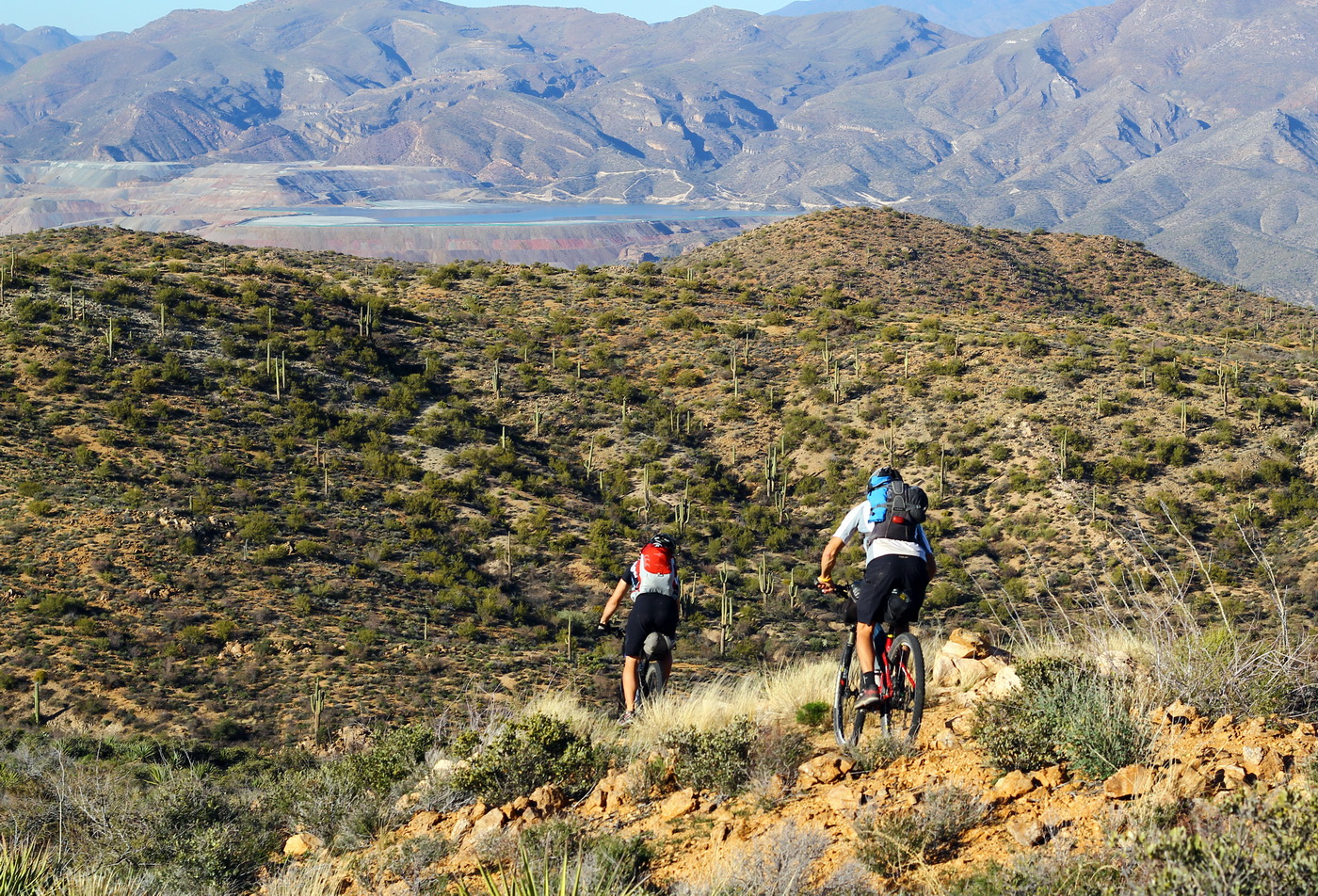
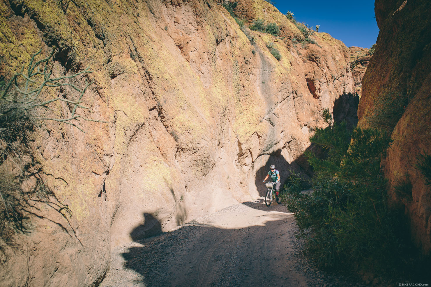
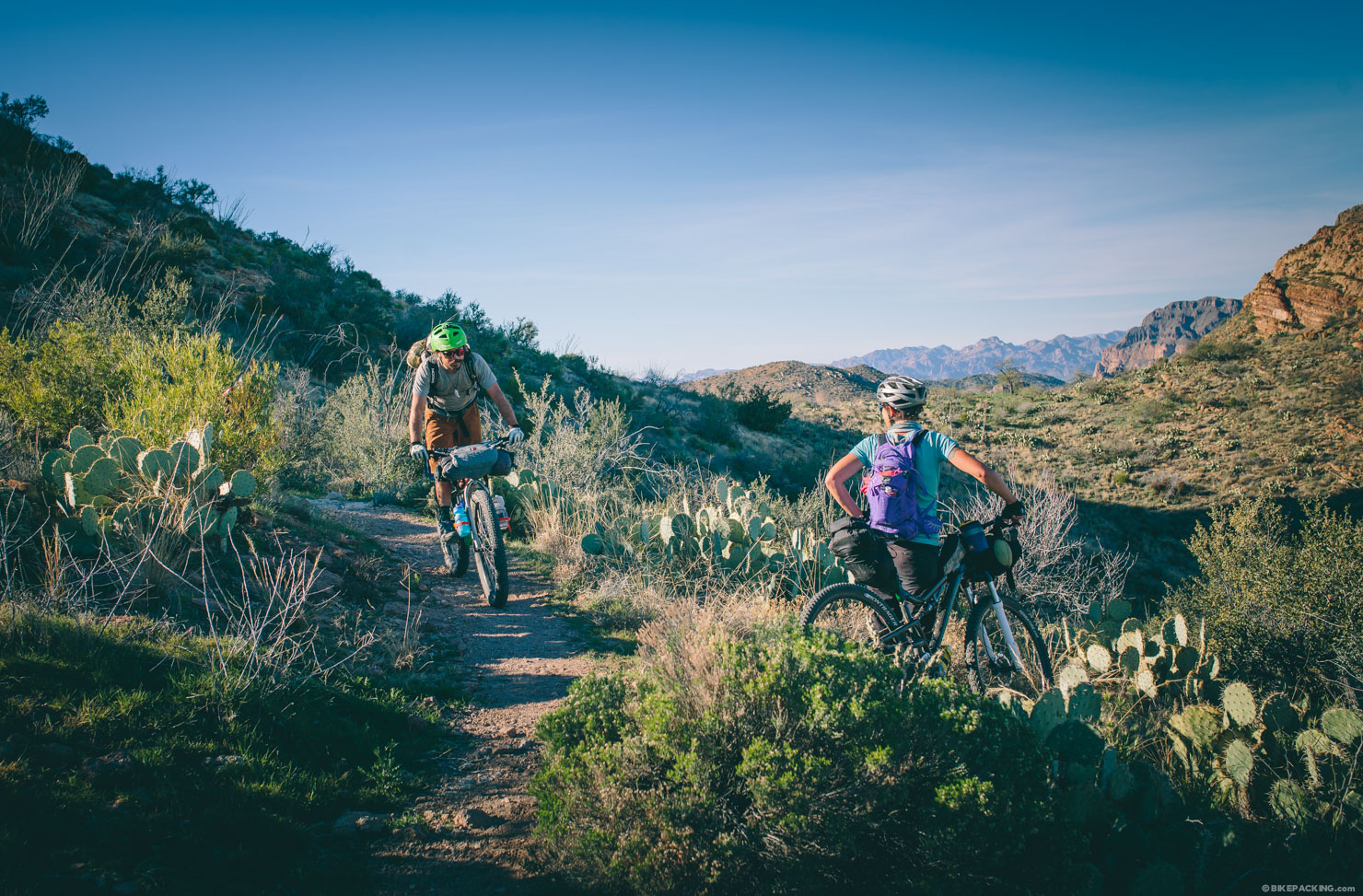
From Kelvin, the ride rolls along the Gila for about 20 miles and eventually ascends deep into the spectacular Superstition Mountains along narrow and exposed singletrack that ebbs and climbs through several breathtaking passes. After an amazing descent and the optional ‘Ice Cream Loop’ through the small mining town of Superior, the route connects a rocky web of jeep tracks that descend through a scenic box canyon, along washes, and through Area 52, a rock mesa that can be an adventure in itself. After a long ridge line doubletrack climb, the road eventually reconnects with the AZT to mount the epic ‘Ripsey’ and a spiraling switchback descent back into Kelvin.
This is the long version of the route which adds a large section through the Gila River Canyons area; the original Ramble on bikepacking.net was envisioned as something that could be done in ~24 hrs and one night, but once the Inner Canyon section was complete, it’s just too incredible to NOT ride.


Submit Route Alert
As the leading creator and publisher of bikepacking routes, BIKEPACKING.com endeavors to maintain, improve, and advocate for our growing network of bikepacking routes all over the world. As such, our editorial team, route creators, and Route Stewards serve as mediators for route improvements and opportunities for connectivity, conservation, and community growth around these routes. To facilitate these efforts, we rely on our Bikepacking Collective and the greater bikepacking community to call attention to critical issues and opportunities that are discovered while riding these routes. If you have a vital issue or opportunity regarding this route that pertains to one of the subjects below, please let us know:
Highlights
Must Know
Camping
Food/H2O
Resources
- A perfectly orchestrated route flowing through multiple geologic and natural areas.
- The well-designed slice of the AZT from Kelvin to the Picket Post trailhead.
- A spectacular climb into Gila Canyon.
- Weaving around the massive saguaro sentinels that line the river valley.
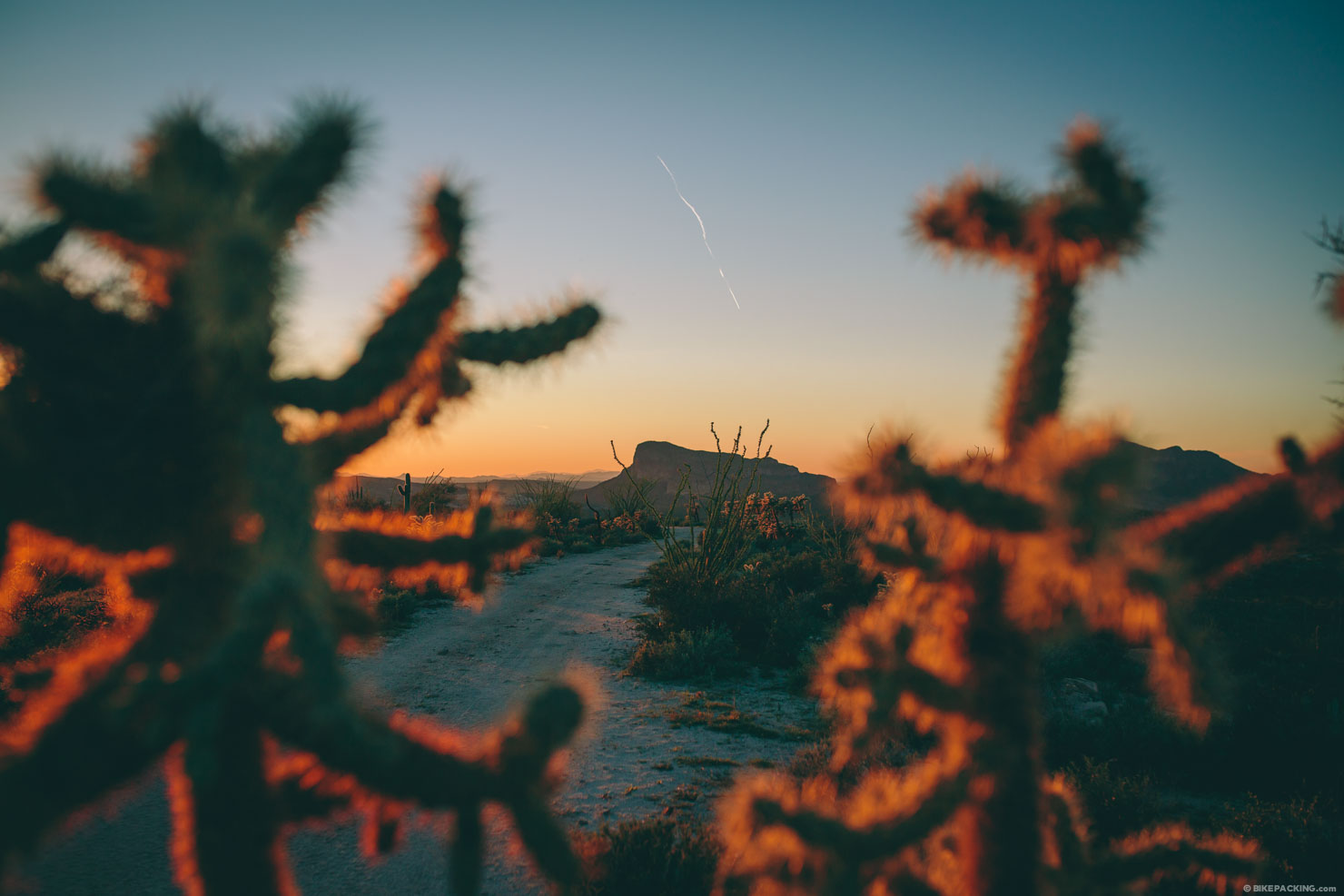
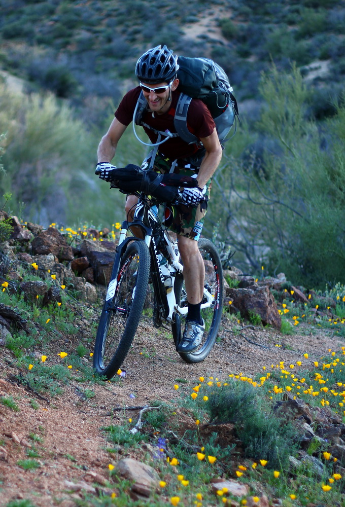
- A carpet of wildflowers and blooming cactus in the spring (March).
- The long descent through a scenic box canyon.
- Area 52: a large mesa of rock replete with slickrock, ledges and free-ride fancies.
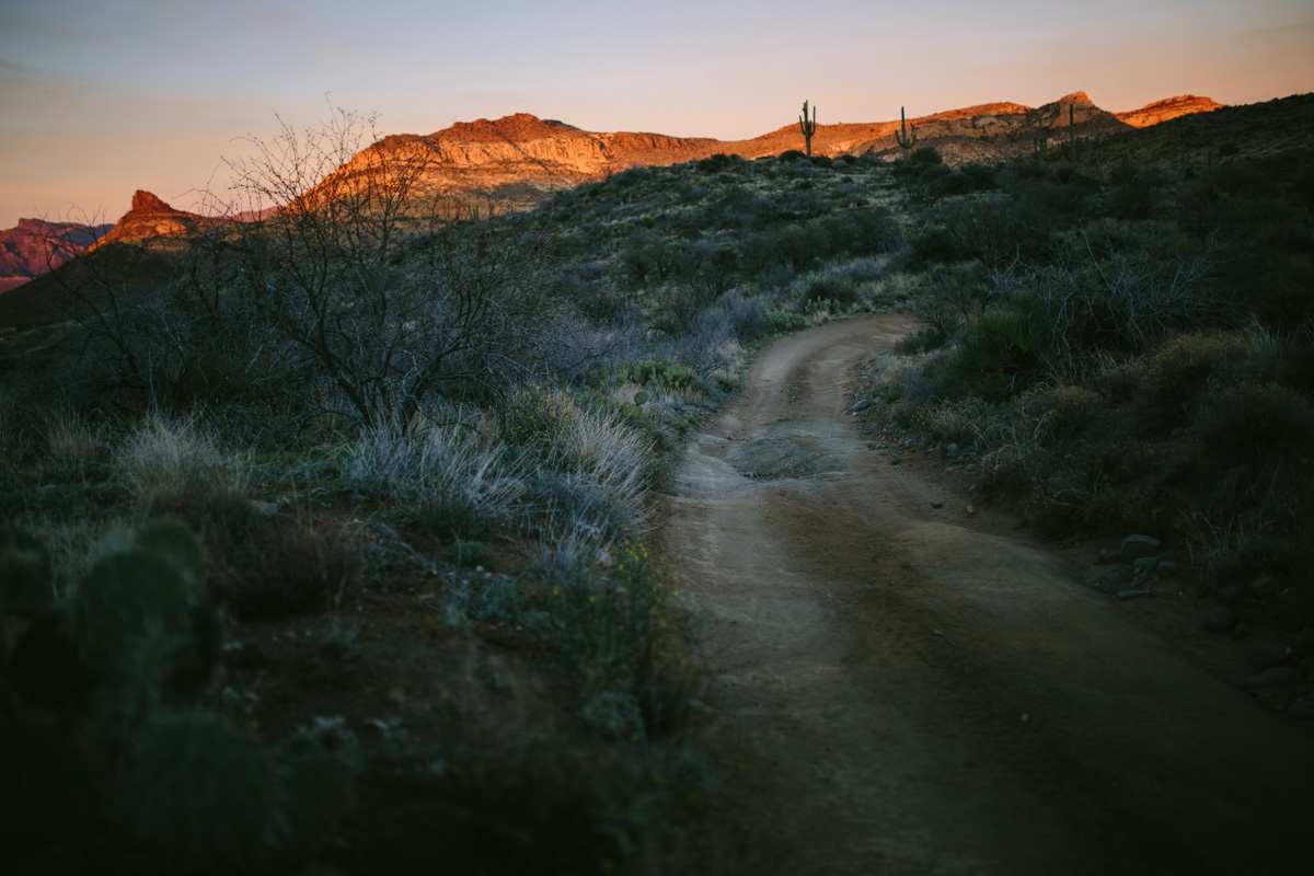
- Amazing vistas of the Superstition Mountains.
- This route is best ridden in early spring or late fall to avoid the heat. It’s passable throughout the winter, though days can be short. Wildflowers are in full regalia in March.
- There are very few definite water supply points on the route (see below).
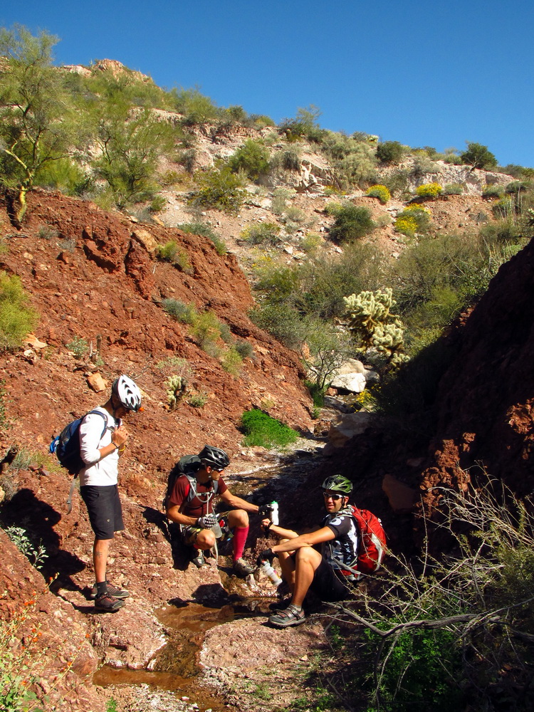
- Fording the Gila River is necessary on this route. With a bicycle it is not recommended, but is sometimes possible. November-January the river’s flow is low, making crossing easy.
- It is recommended to ride this route counterclockwise from Kelvin; there are a few parking options around Kelvin, including the trailhead off the Kelvin Florence Highway, BLM land noted below (park there at your own risk, it is worth mentioning that there are reports of rowdy kids partying there on the weekends) as well as a small trailer court with a friendly owner.
- If you opt to start in Picketpost, there is adequate parking at the trailhead.
- Area 52’s rock mesa can be explored on its own, or connected as a thru-route with some hiking. Follow the track closely and try to visualize the rideable lines.
- If you need a campsite the night prior or upon return, there is a great piece of BLM with a few pull out spots around N33 05.371 W110 59.307
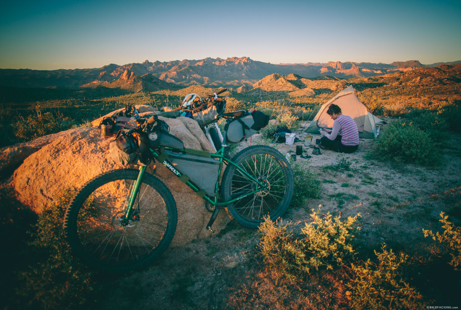
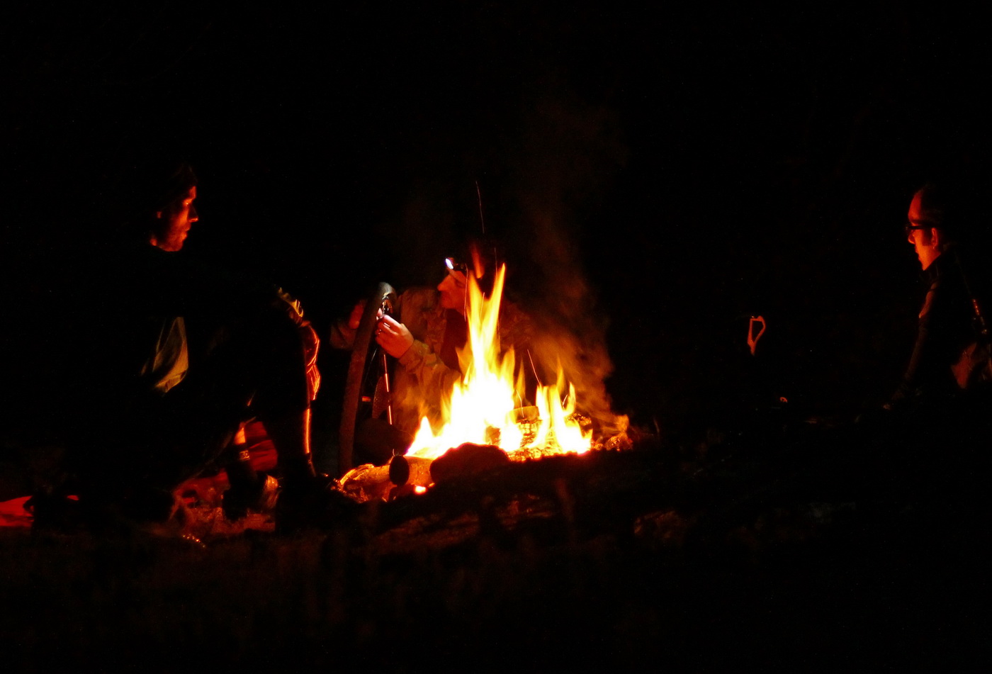
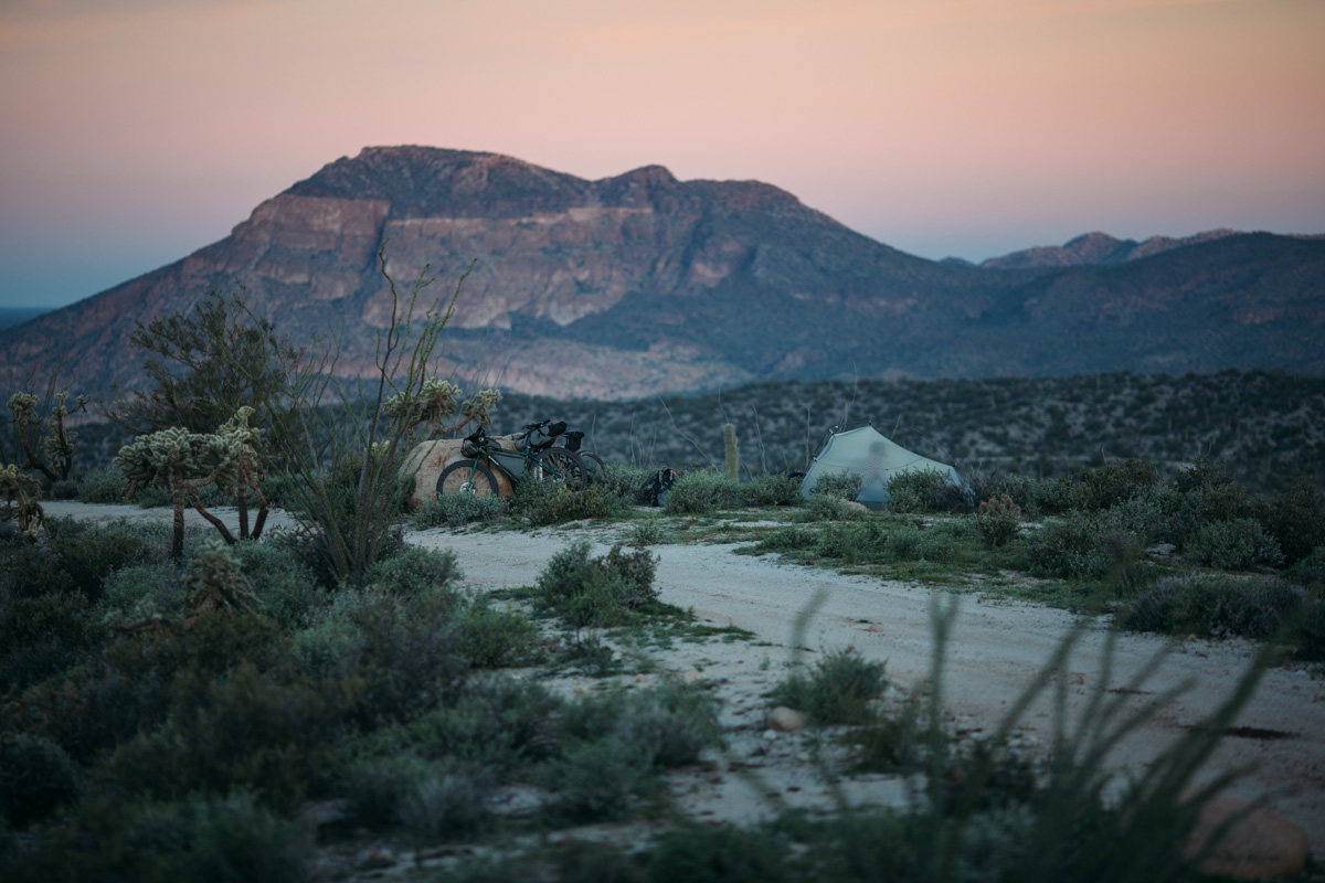
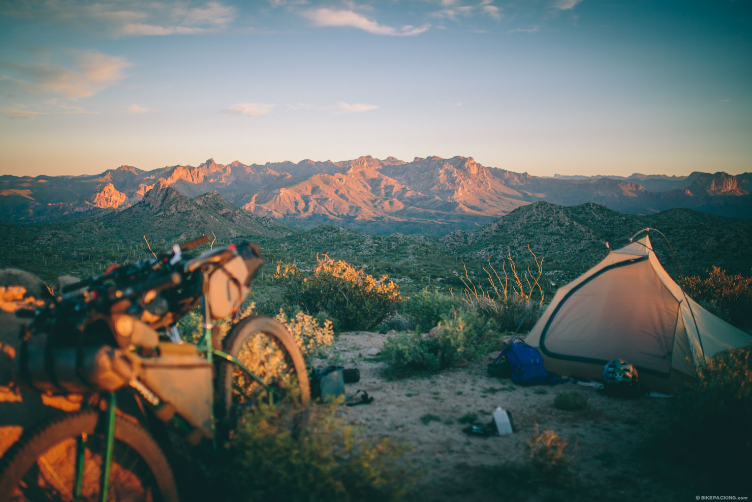
- If you time it right, and it’s not too windy, there are amazing campsites near the canyon pass (between mile 25 and 30 when starting in Kelvin).
- There are plenty of roadside and wild camping options throughout the route.
- Camping on the ridge line climb around mile 98 also makes a fine choice for big views of the Superstitions.
- Area 52 has prime camping spots, but no water.
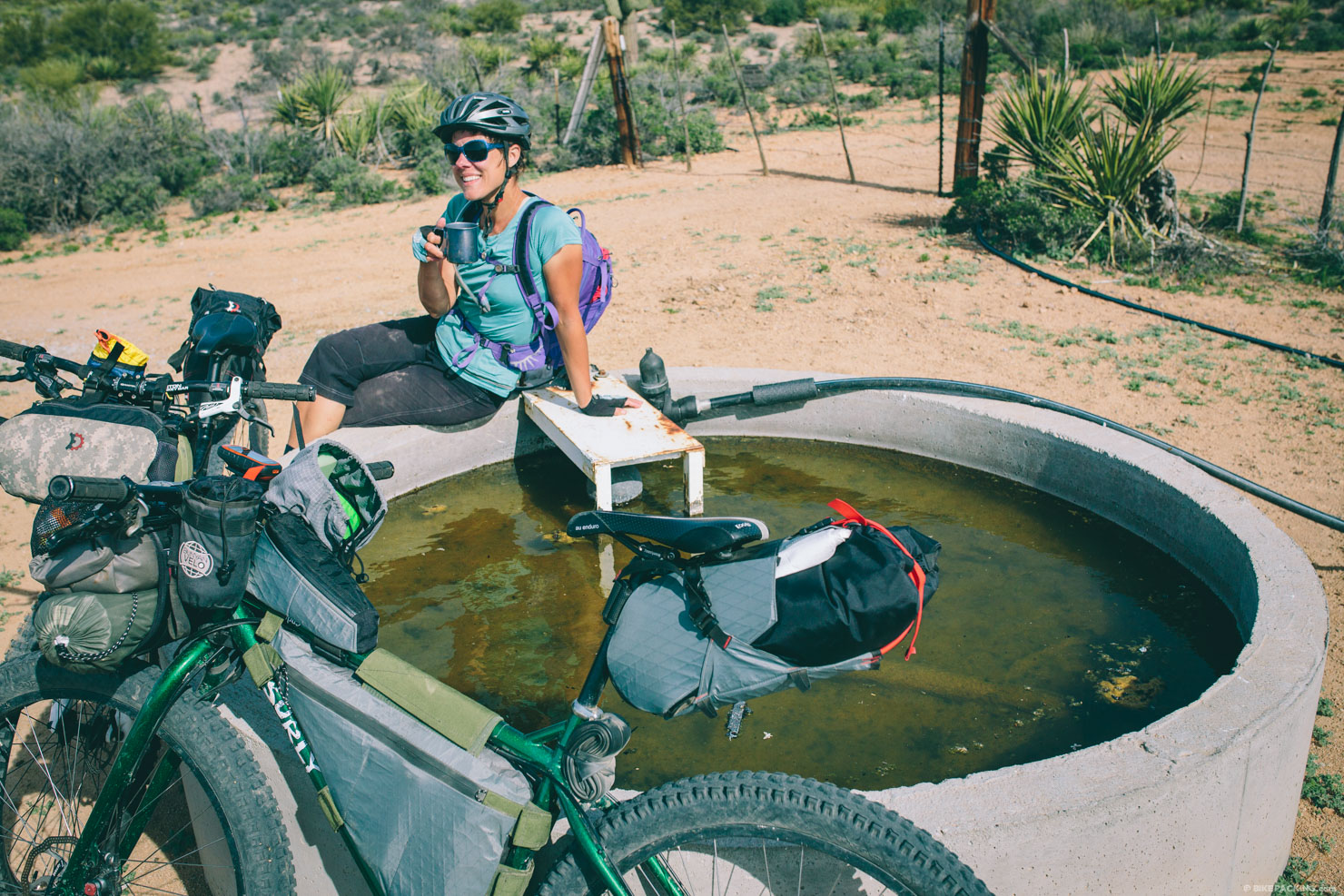
- There are very few dependable water options on the route; the most dependable is the actual river. It is advisable to refill before turning north up canyon (around N33 06.790 W111 08.703).
- We found water at a livestock watering hole around N33 11.559 W111 08.180 and a cattle trough at N33 01.184 W111 01.424 with a working spigot.
- After leaving the river, the other dependable option is ‘The Ice Cream Loop’ which drops into the town of Superior where there are several options for restocking as well as a good breakfast at Dos Hermanos.
Resources
- The original route can be found here on Bikepacking.net.
- Nick and Lael’s writeup on the GRR and the AZT can be found here.
- Scott’s 2010 tip report.
- Cass’ trip report from 2013.


Terms of Use: As with each bikepacking route guide published on BIKEPACKING.com, should you choose to cycle this route, do so at your own risk. Prior to setting out check current local weather, conditions, and land/road closures. While riding, obey all public and private land use restrictions and rules, carry proper safety and navigational equipment, and of course, follow the #leavenotrace guidelines. The information found herein is simply a planning resource to be used as a point of inspiration in conjunction with your own due-diligence. In spite of the fact that this route, associated GPS track (GPX and maps), and all route guidelines were prepared under diligent research by the specified contributor and/or contributors, the accuracy of such and judgement of the author is not guaranteed. BIKEPACKING.com LLC, its partners, associates, and contributors are in no way liable for personal injury, damage to personal property, or any other such situation that might happen to individual riders cycling or following this route.
Please keep the conversation civil, constructive, and inclusive, or your comment will be removed.