


Altravesur: Southern Spain Traverse
Distance
830 Mi.
(1,336 KM)Days
30
% Unpaved
85%
% Singletrack
10%
% Rideable (time)
95%
Total Ascent
110,000'
(33,528 M)High Point
7,004'
(2,135 M)Difficulty (1-10)
7?
- 9Climbing Scale Very Strenuous133 FT/MI (25 M/KM)
- -Technical Difficulty
- -Physical Demand
- -Resupply & Logistics
Contributed By

Logan Watts
Founding Editor
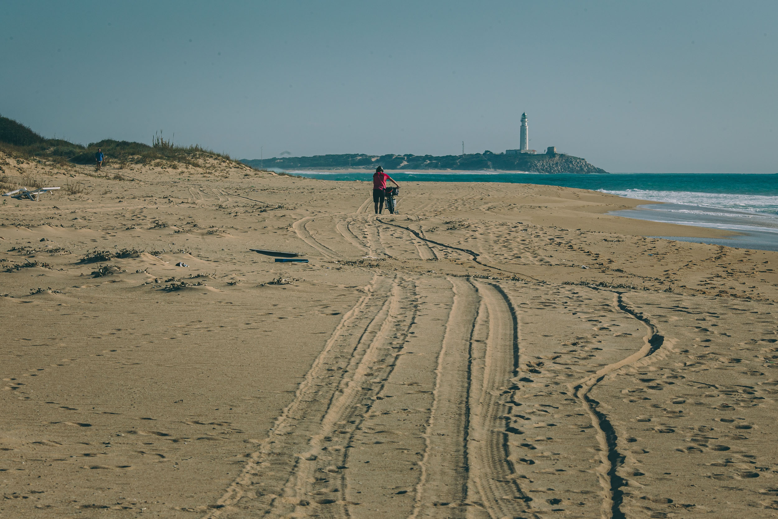
Originally published in 2016, the Altravesur had a major update in July, 2021: Many thanks to Matteo Minelli (@GranGuanche.route) for providing several detailed workarounds for new private land issues, landslides, and decommissioned trails. There is still one tweak that hasn’t been scouted. About 13 kilometers from Zahara de los Atunes toward the beginning of the route (highlighted in black). This is technically on the EV8 cycling route and should be OK, but if anyone rides this to verify that it is passable, please let us know.
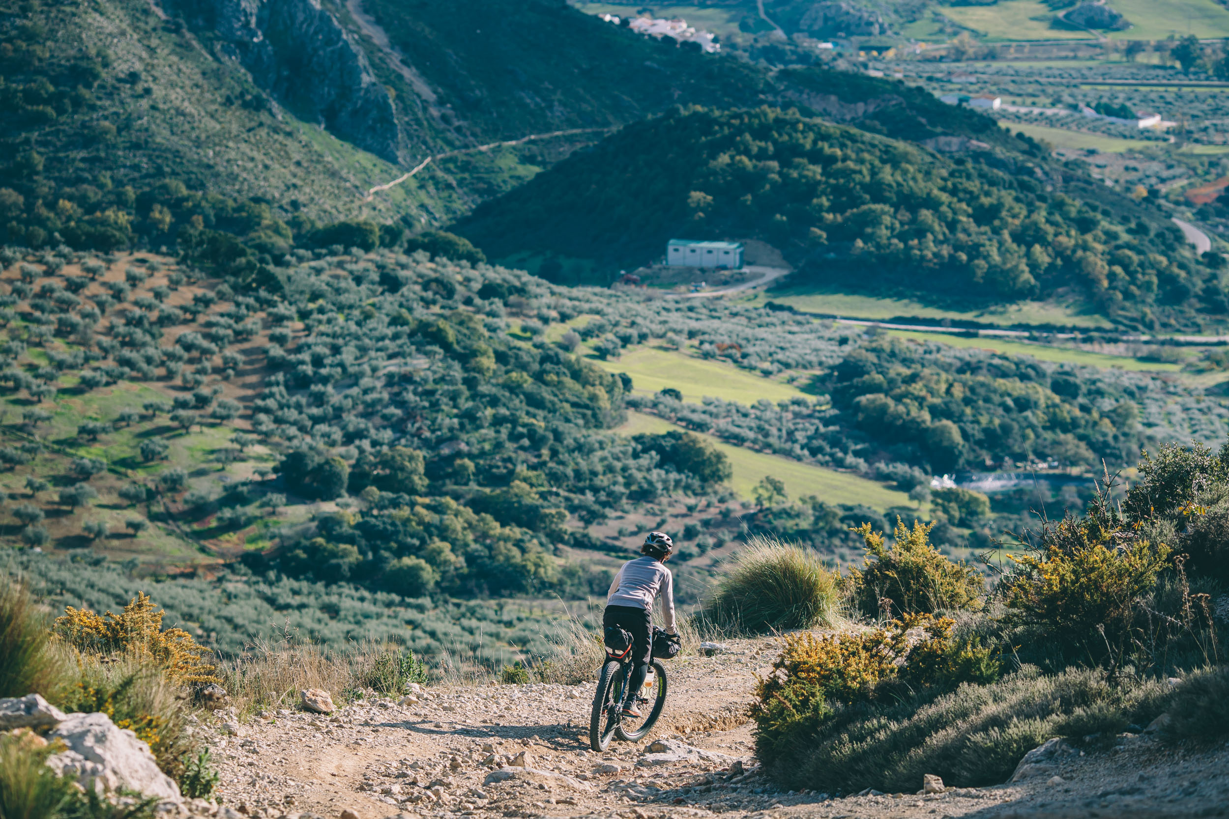
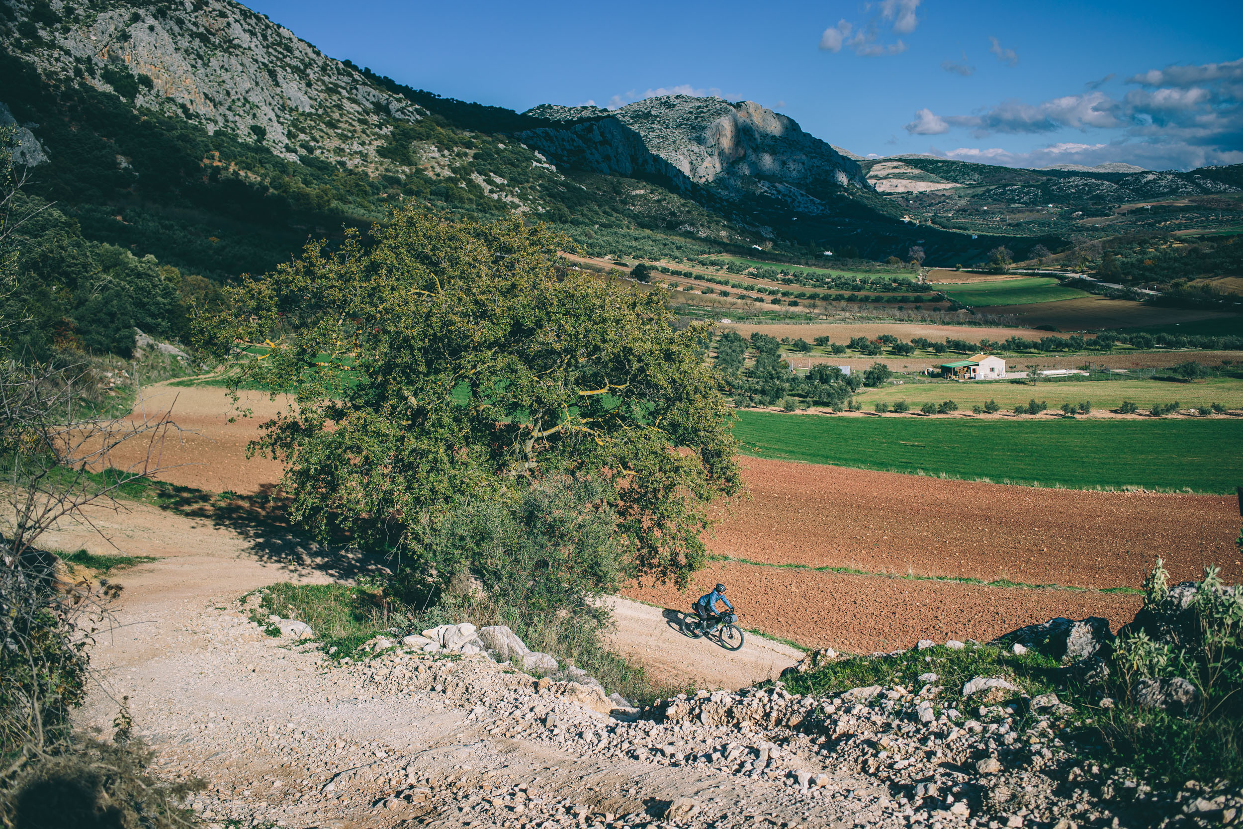
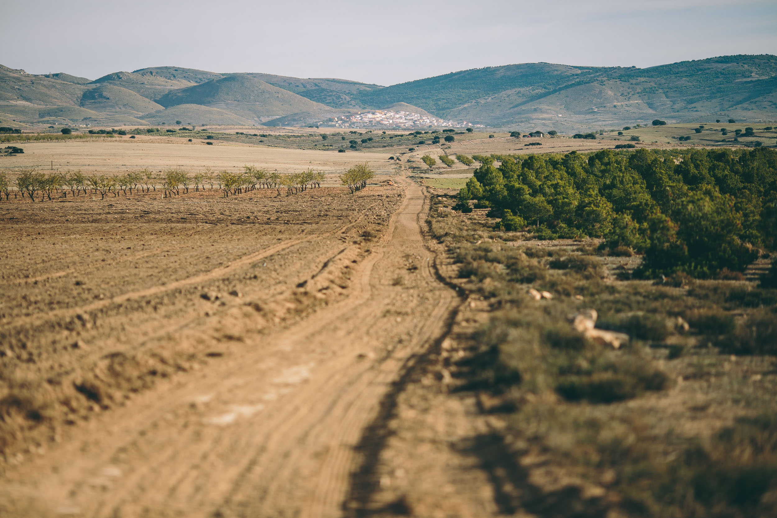
Southern Spain is teeming with bikepacking opportunities. A massive network of off-tarmac Gran Recorrido (GR) footpaths—some of which which have been in use for hundreds of years—provide a good foundation for route planning. In more recent years, the Federación Española de Alpinismo (Spanish Mountain Federation) has done a great job developing beautiful trails and facilities for hikers and cyclists alike. With all that built in infrastructure, a perpetual web of farm roads, and the region’s vía verdes (old railway lines reborn as cycling and hiking greenways), routing combinations are almost limitless.
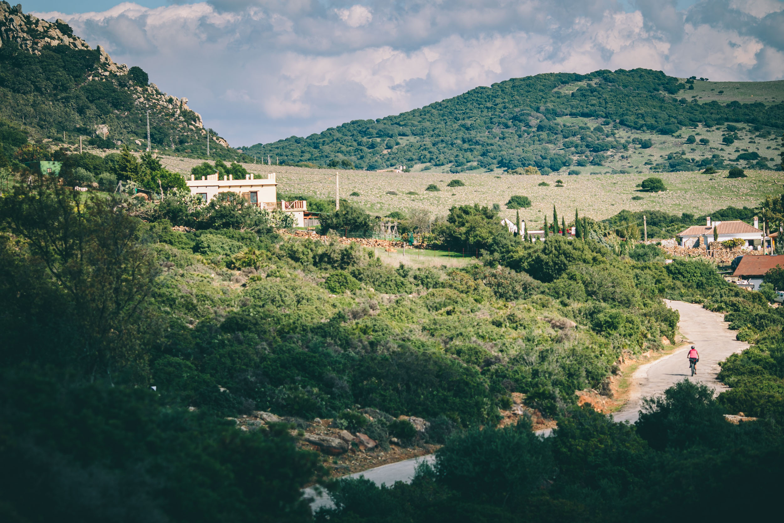
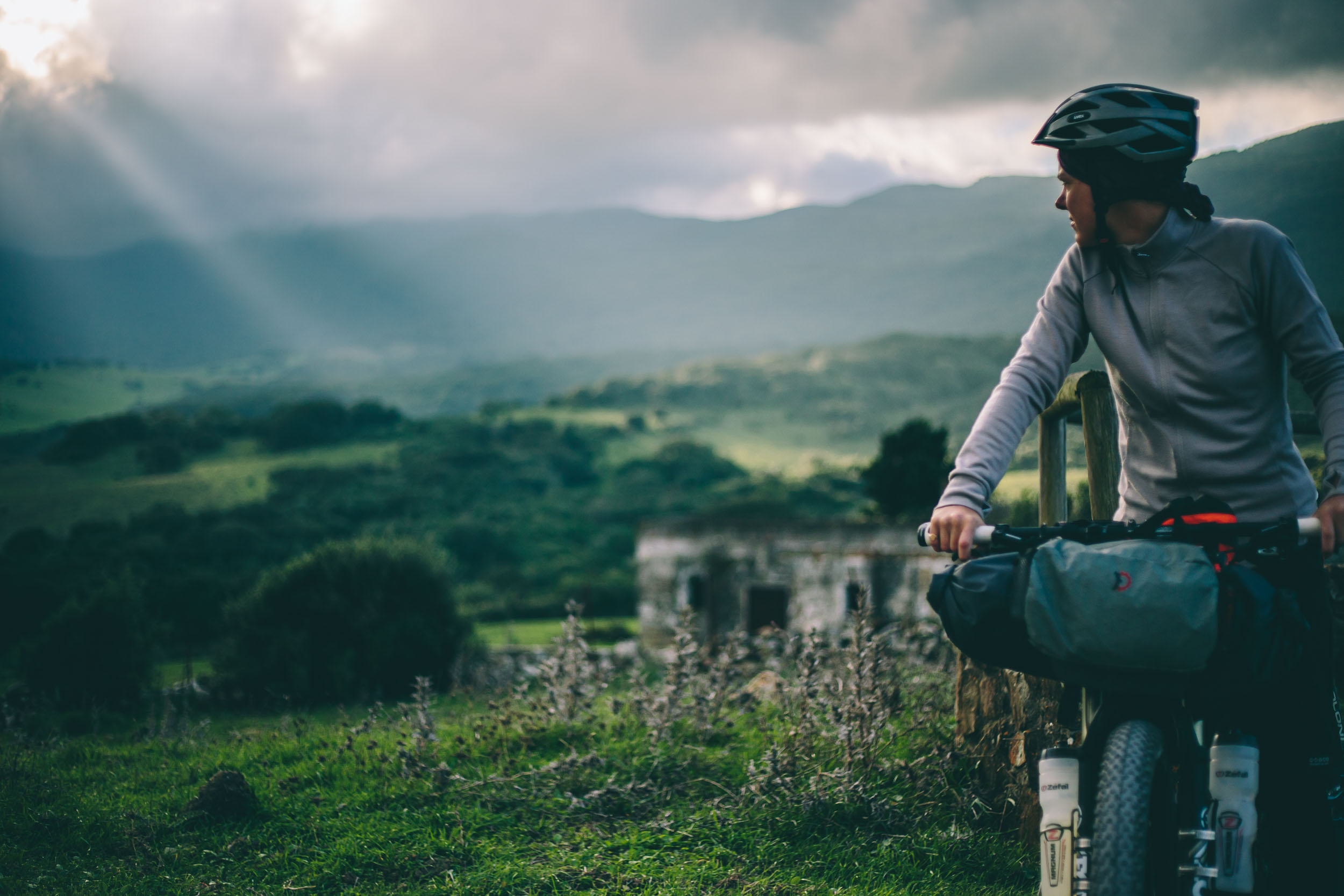
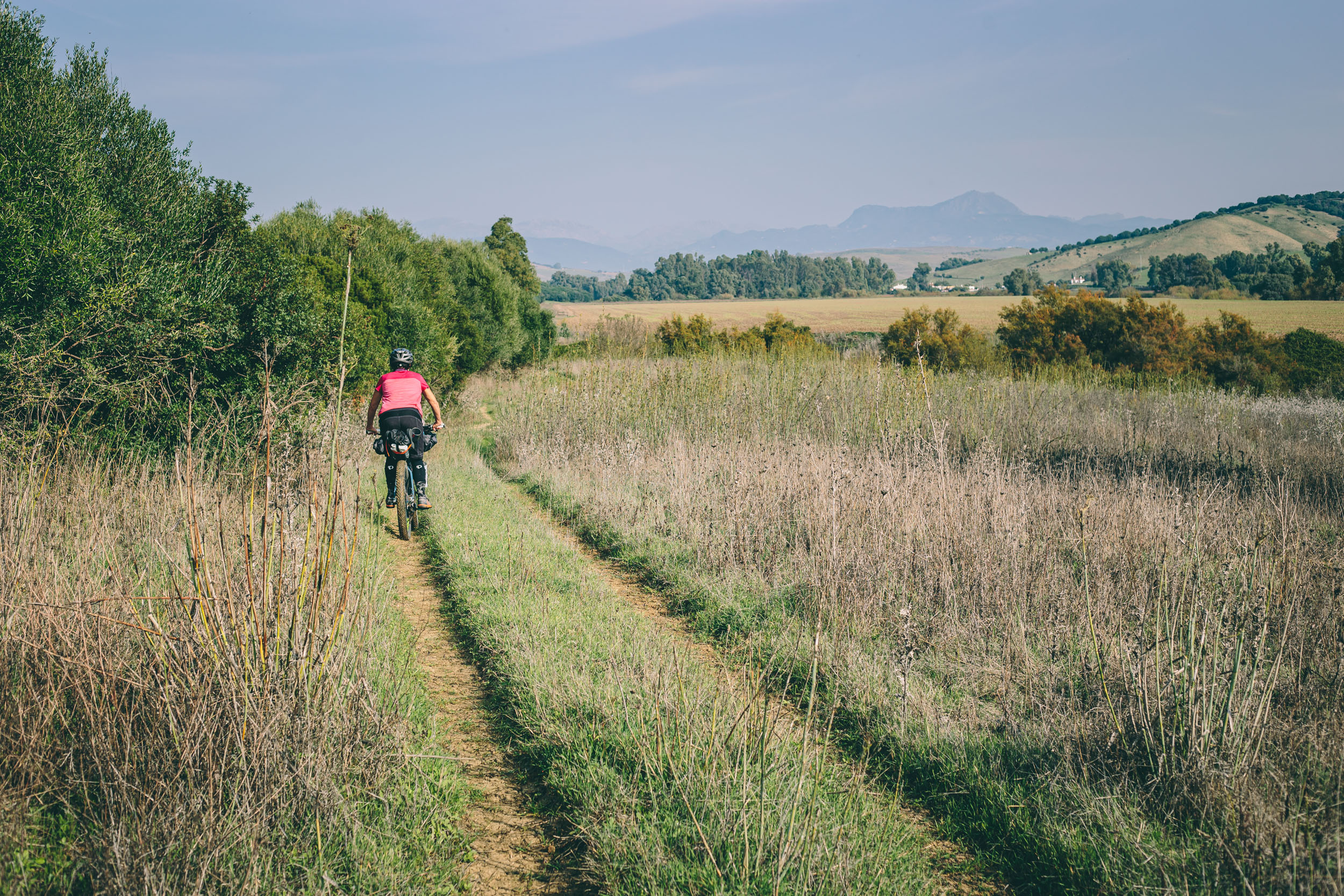
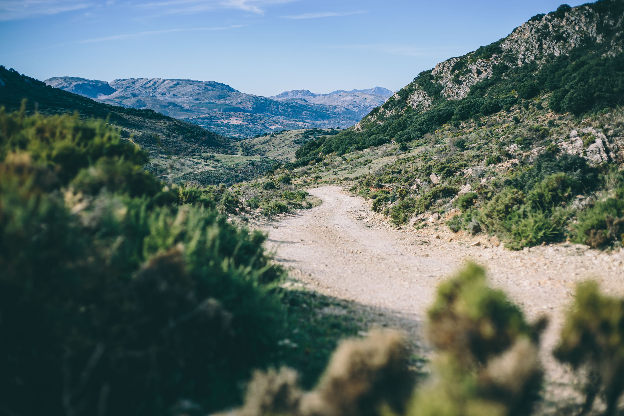
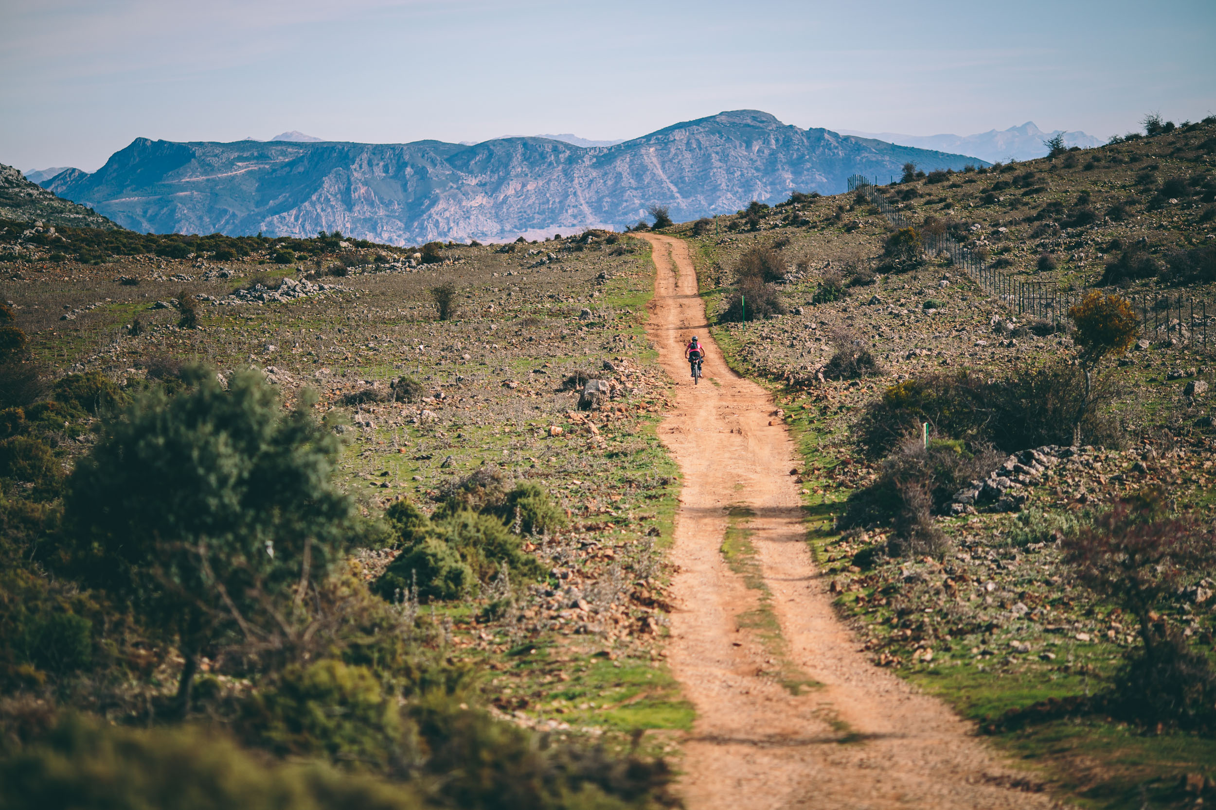
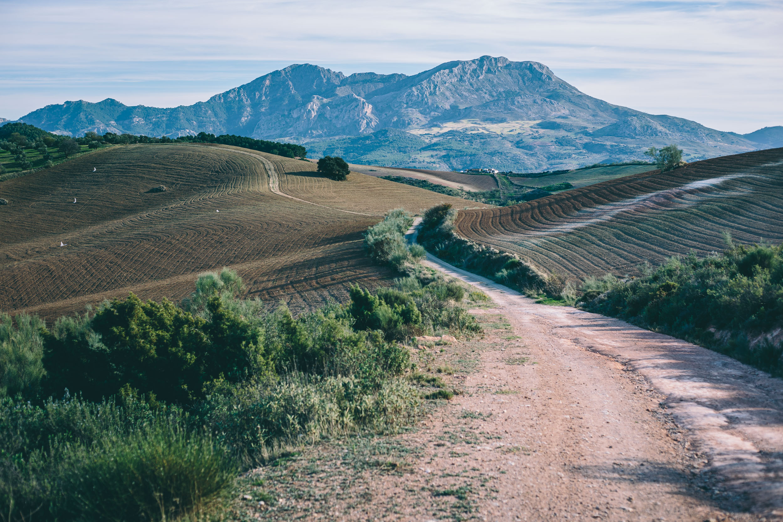
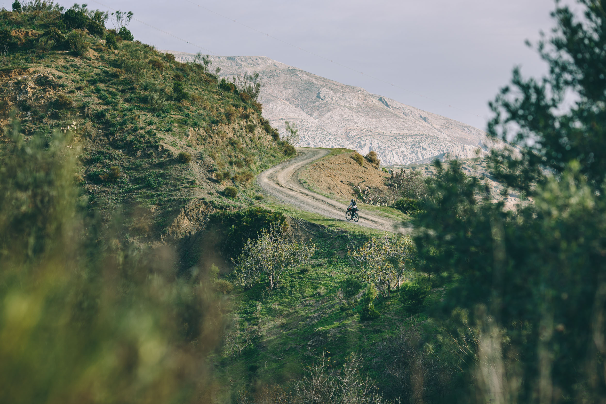
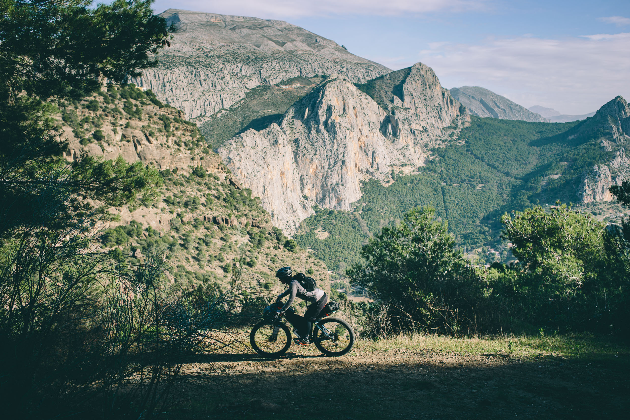
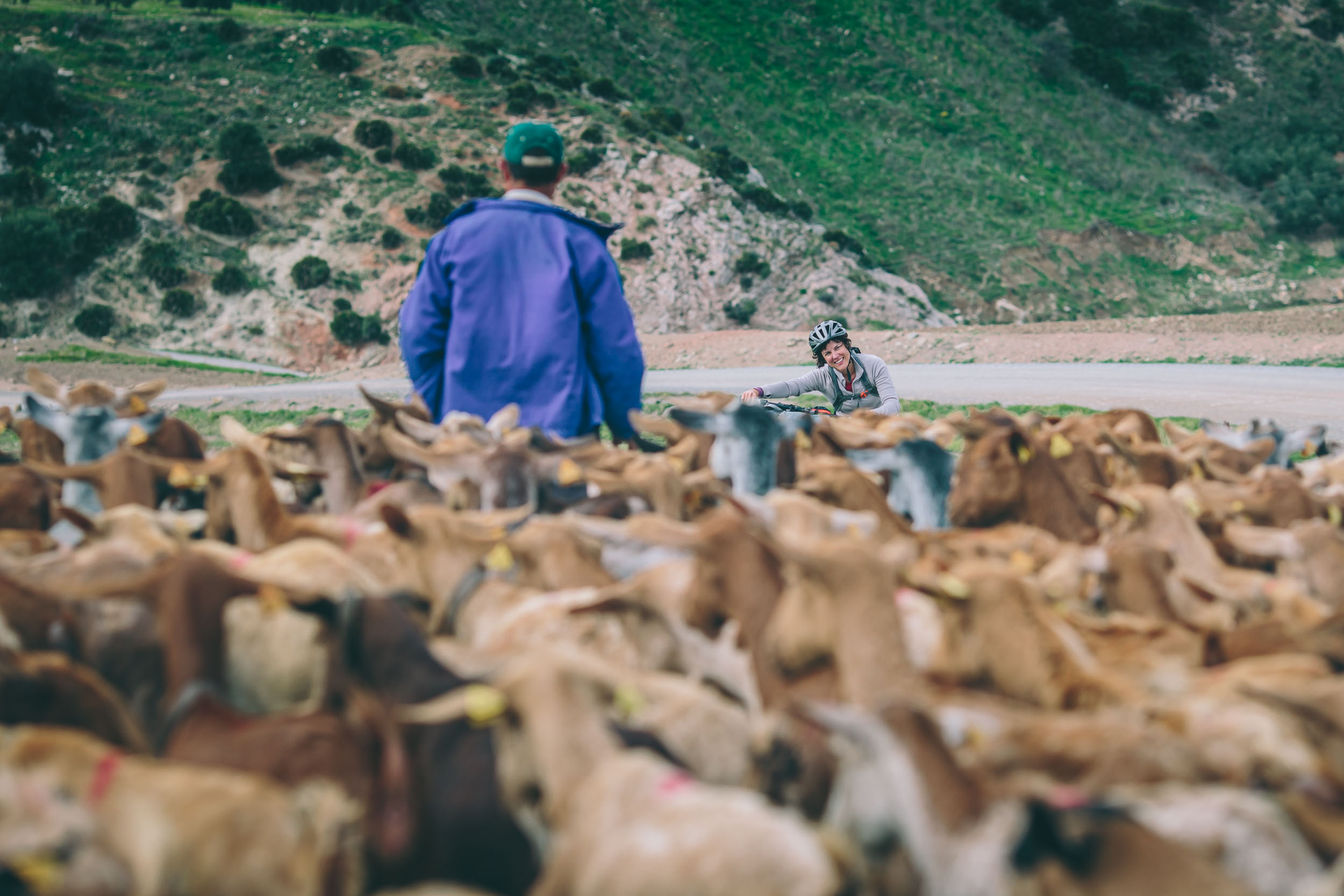
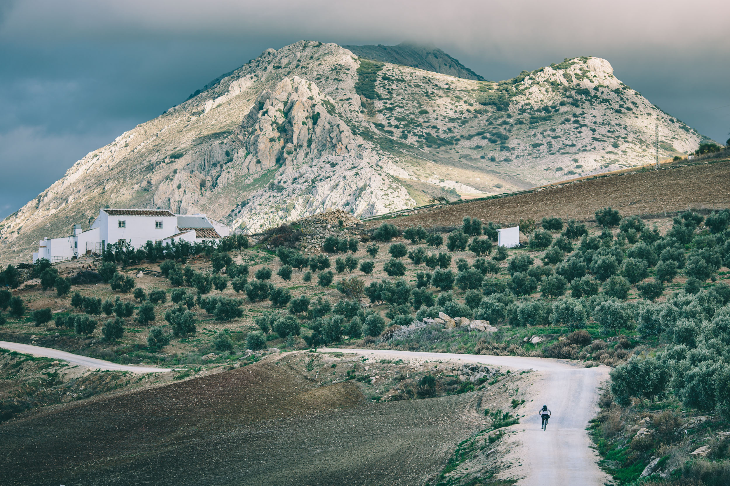
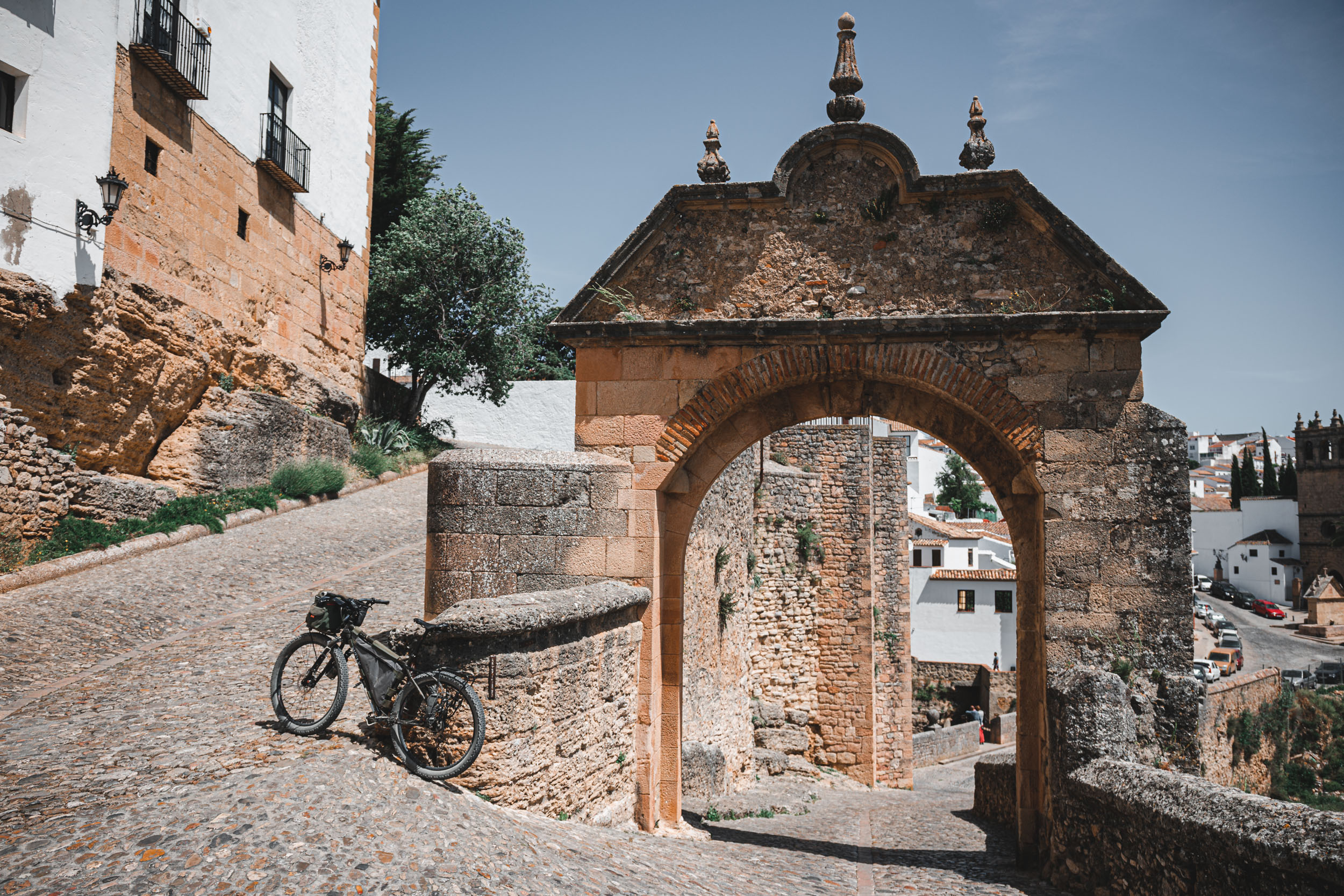
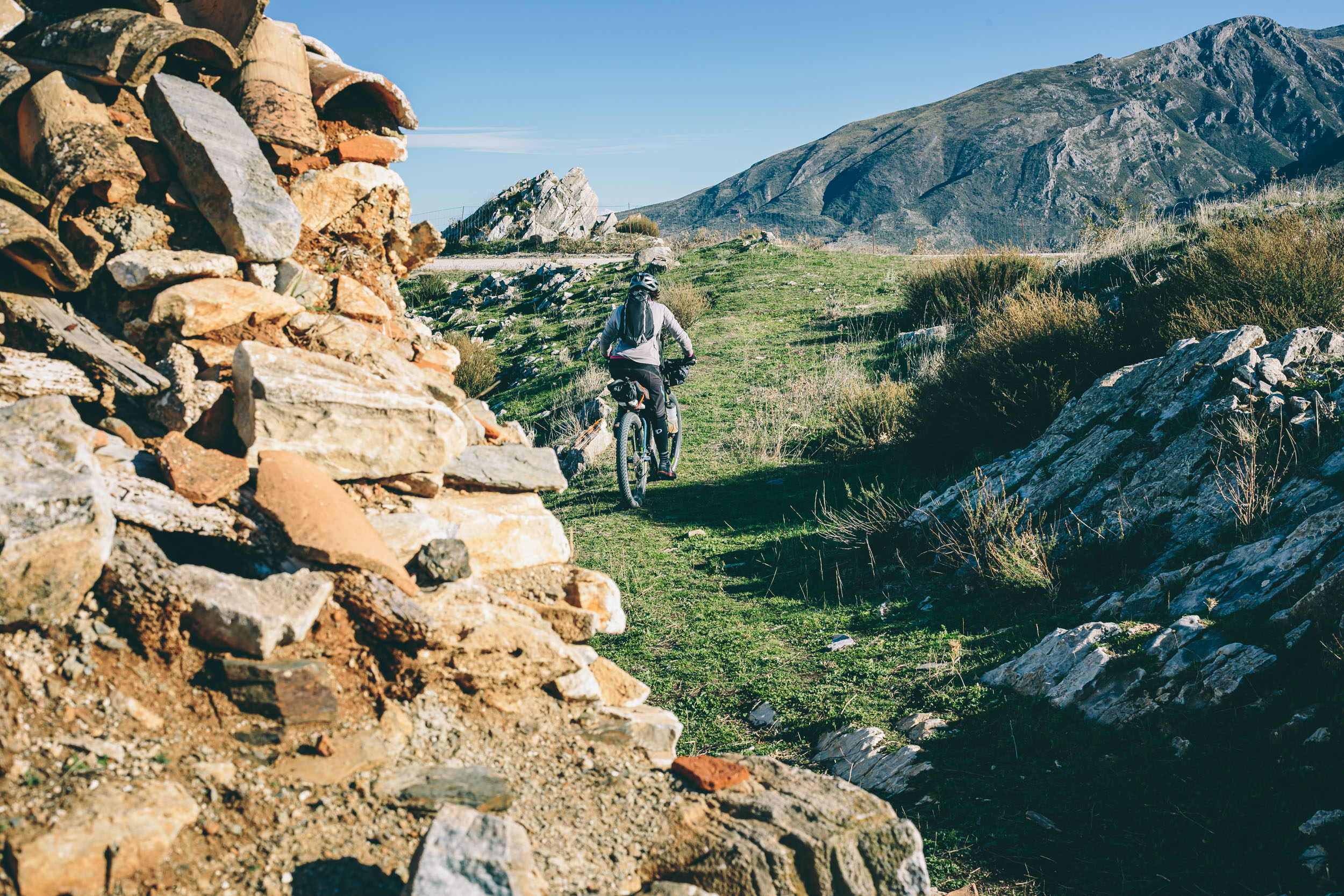
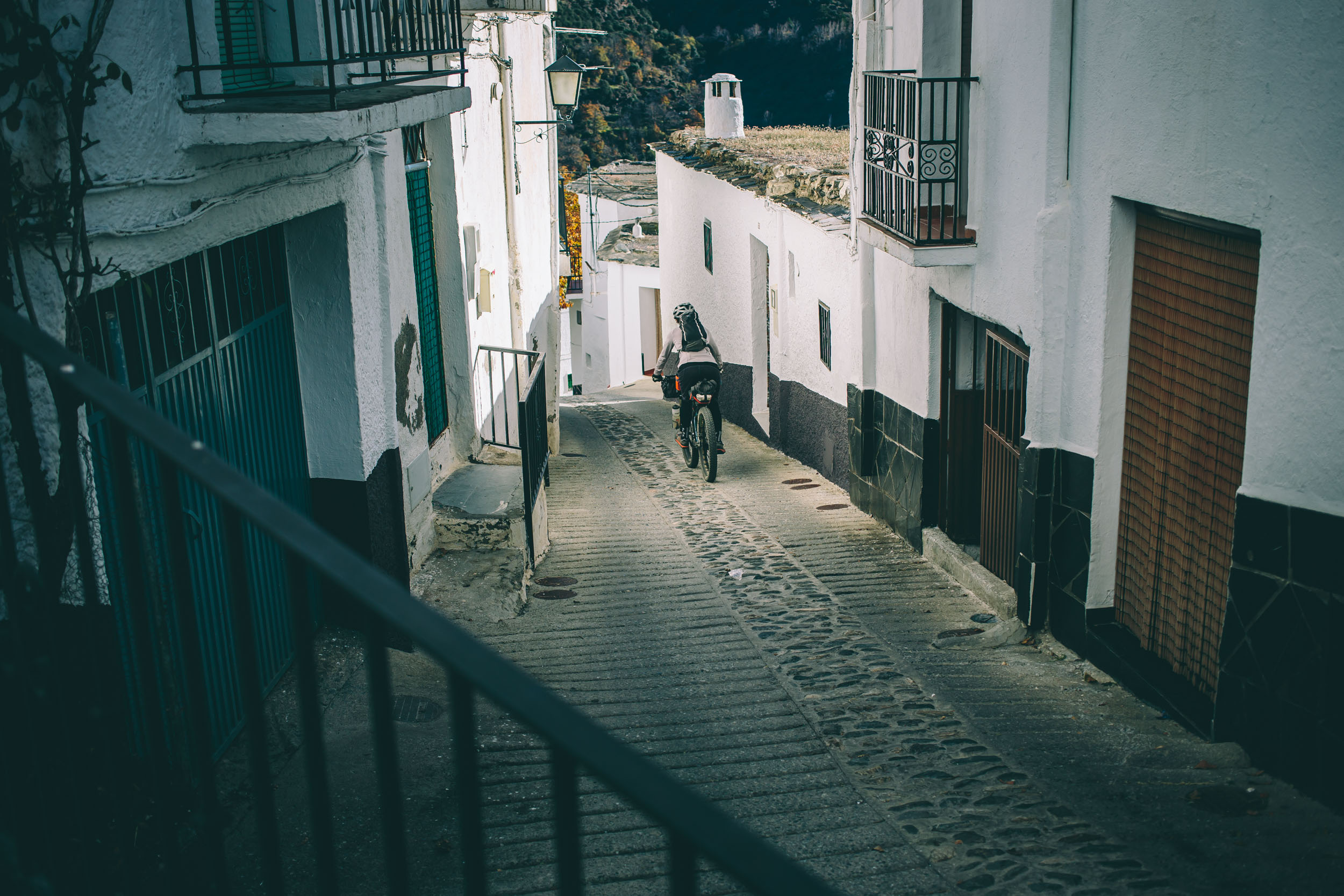
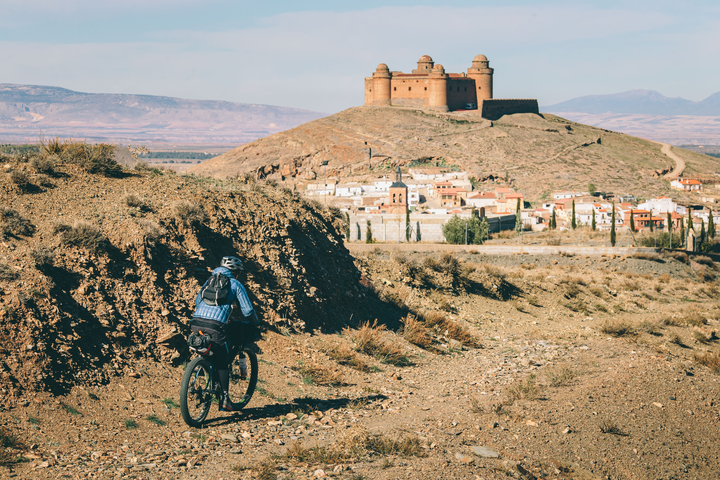
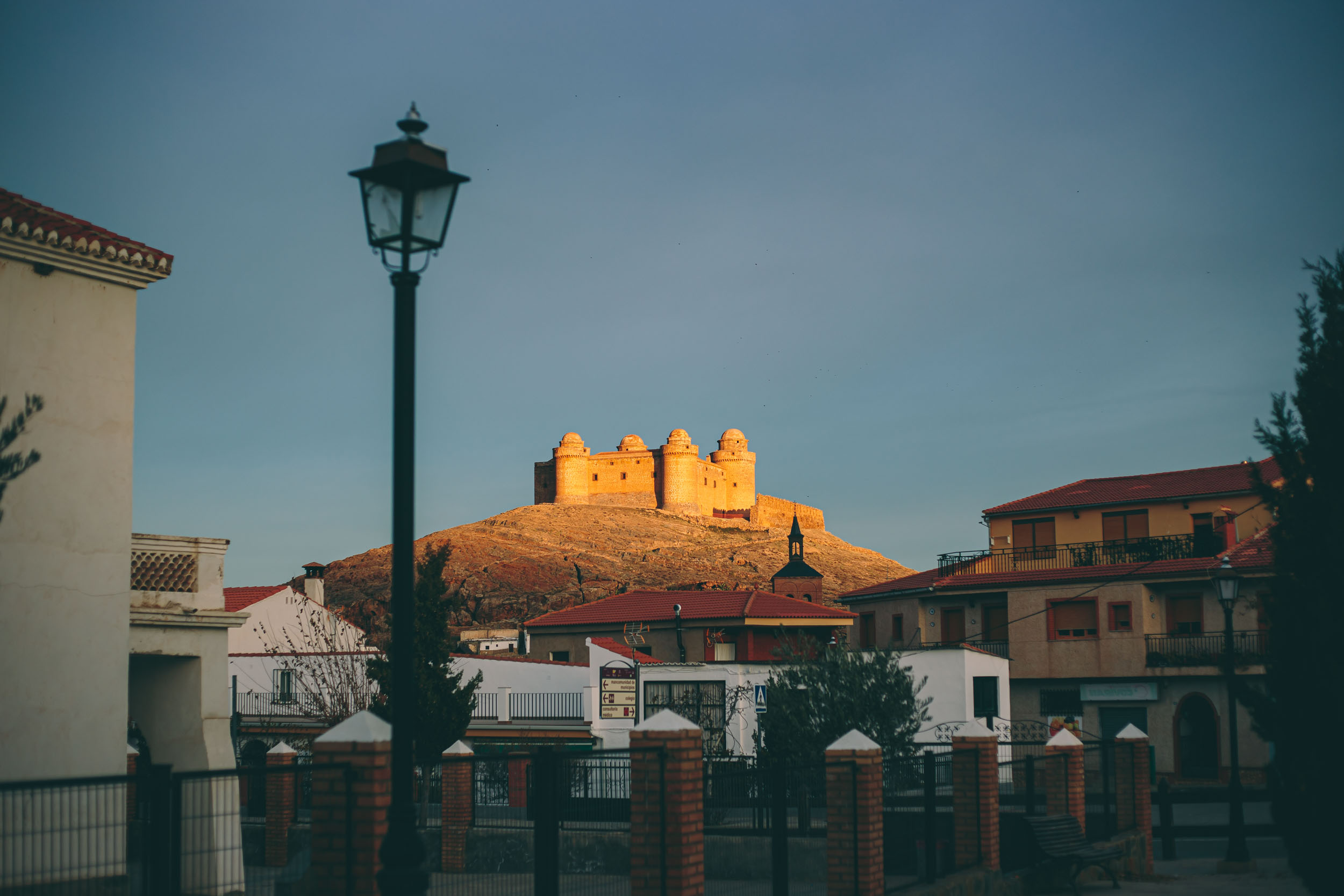
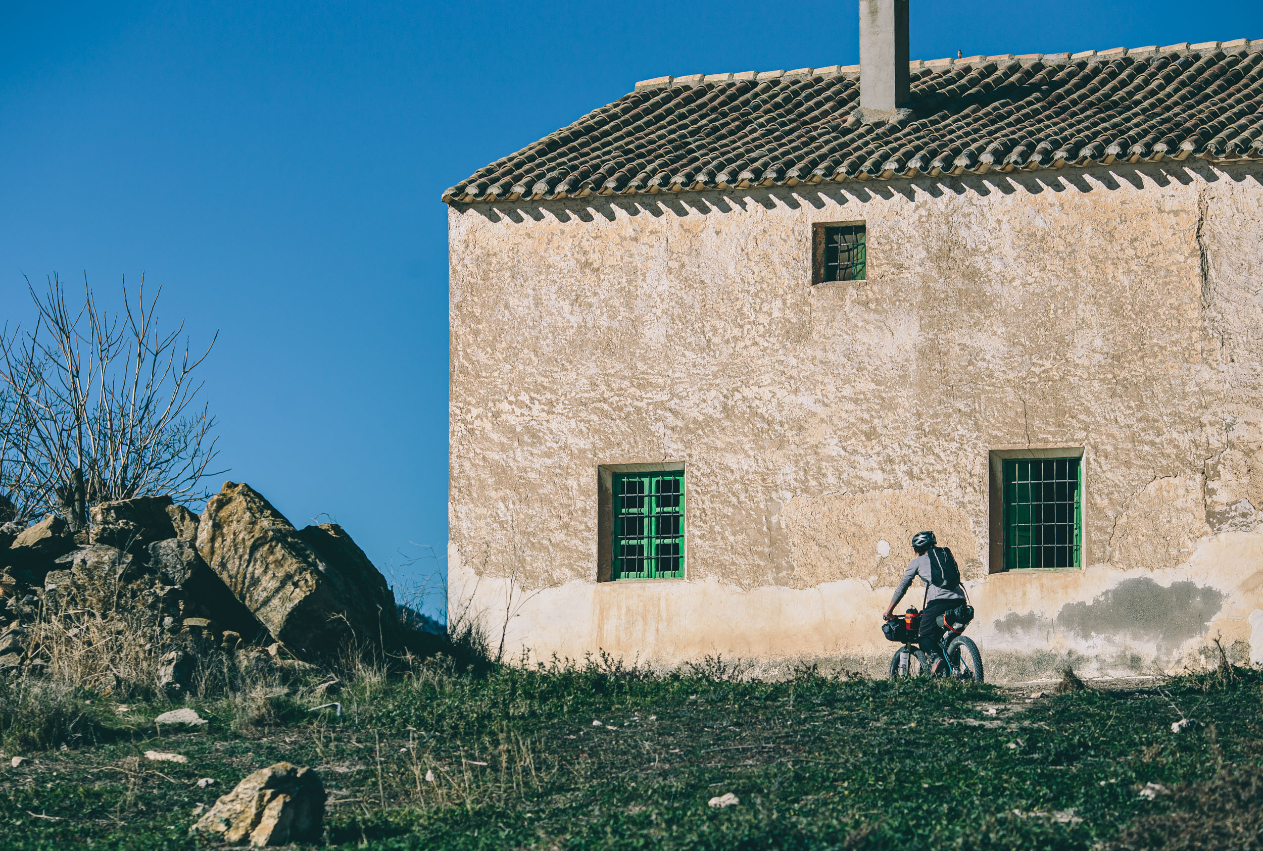
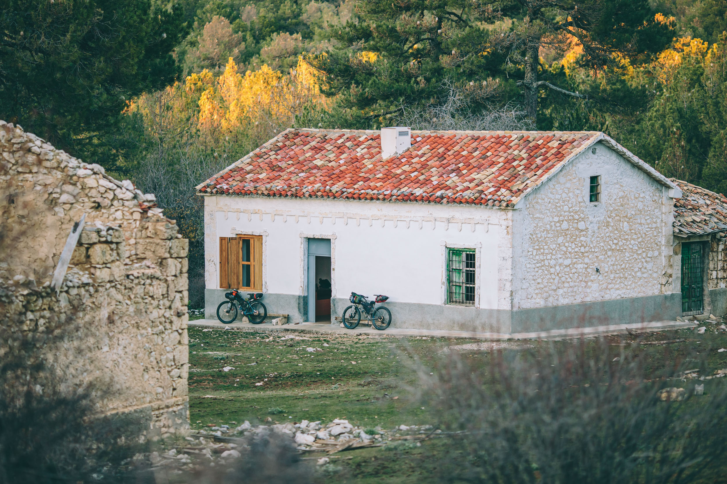
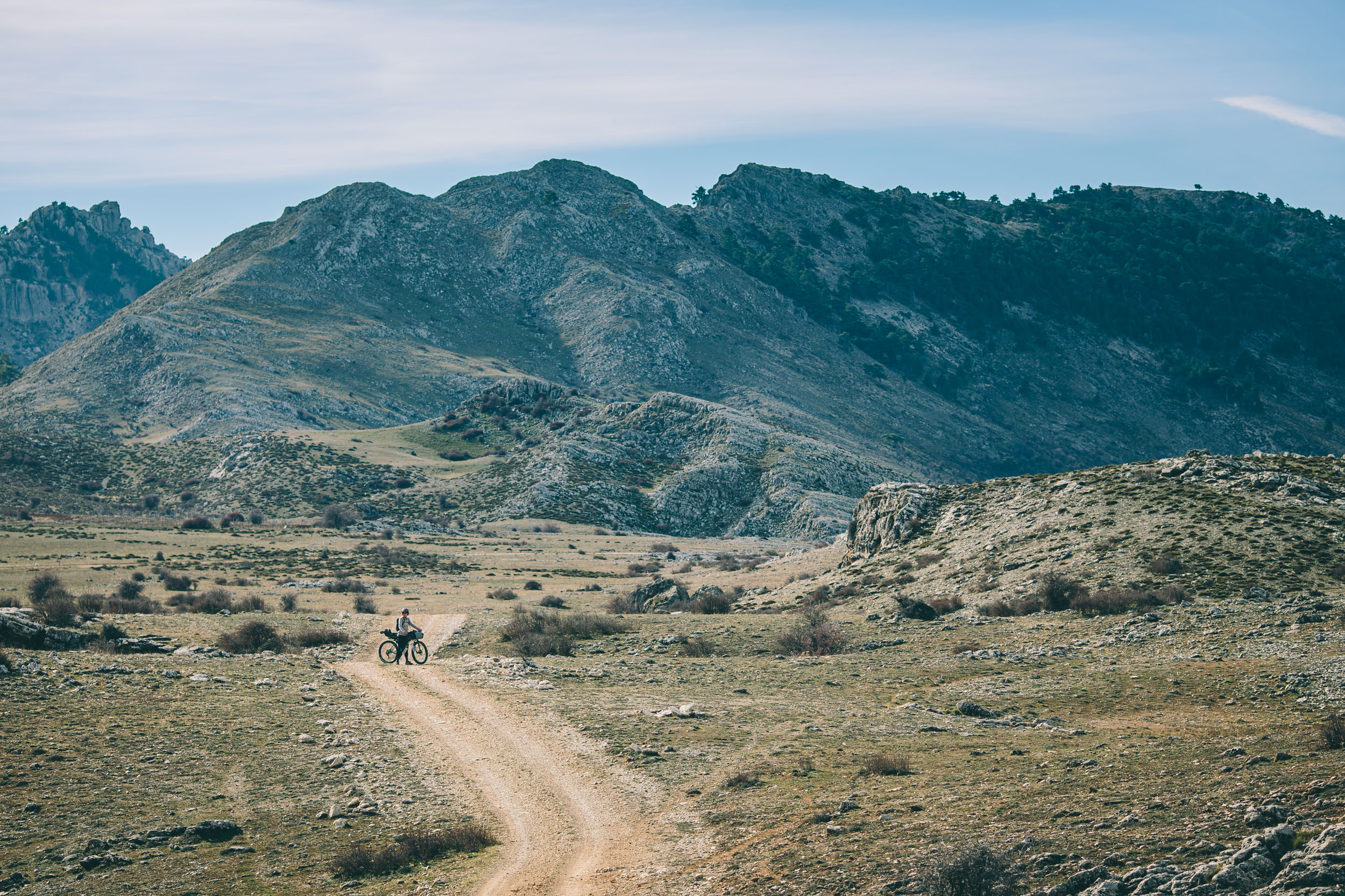
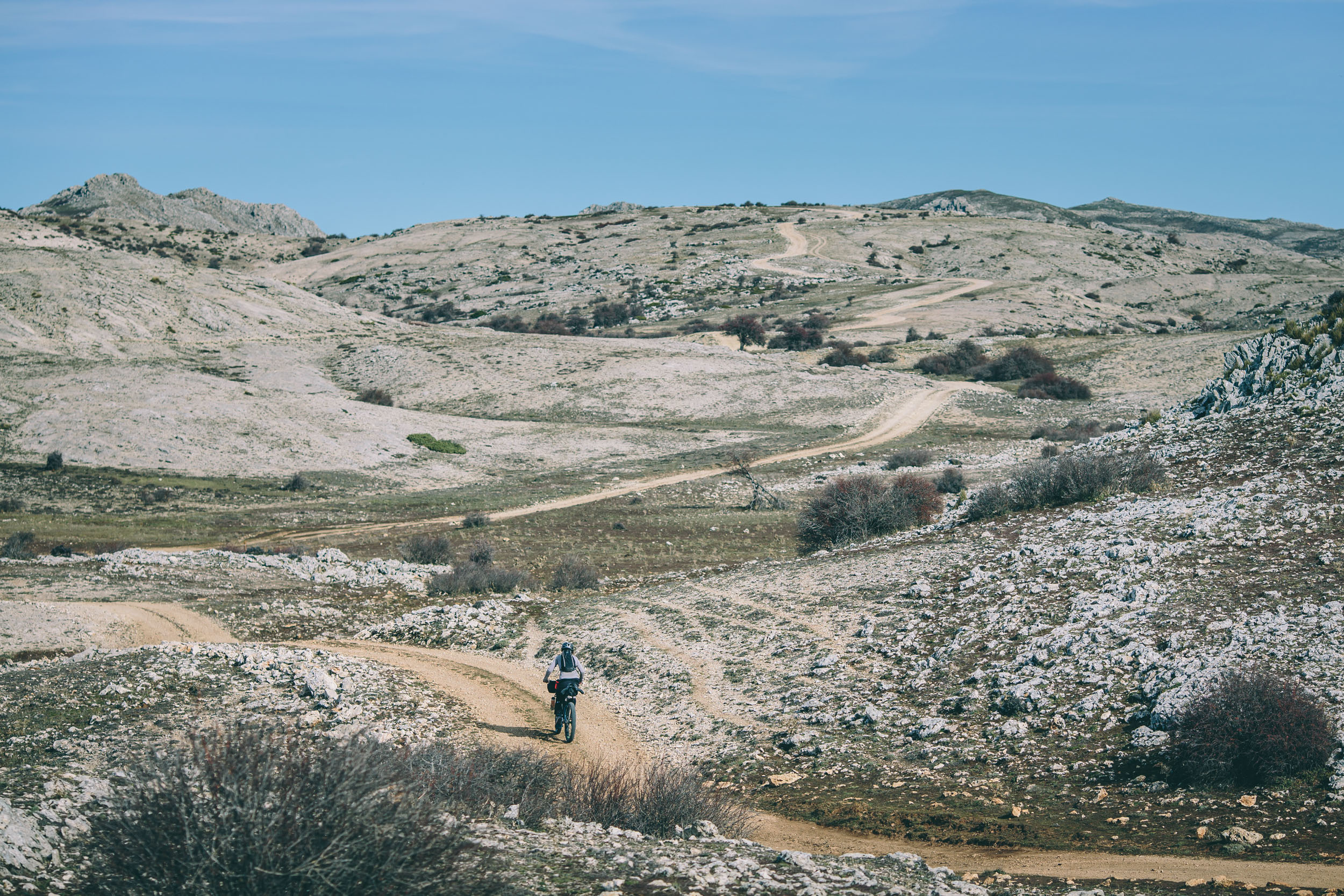
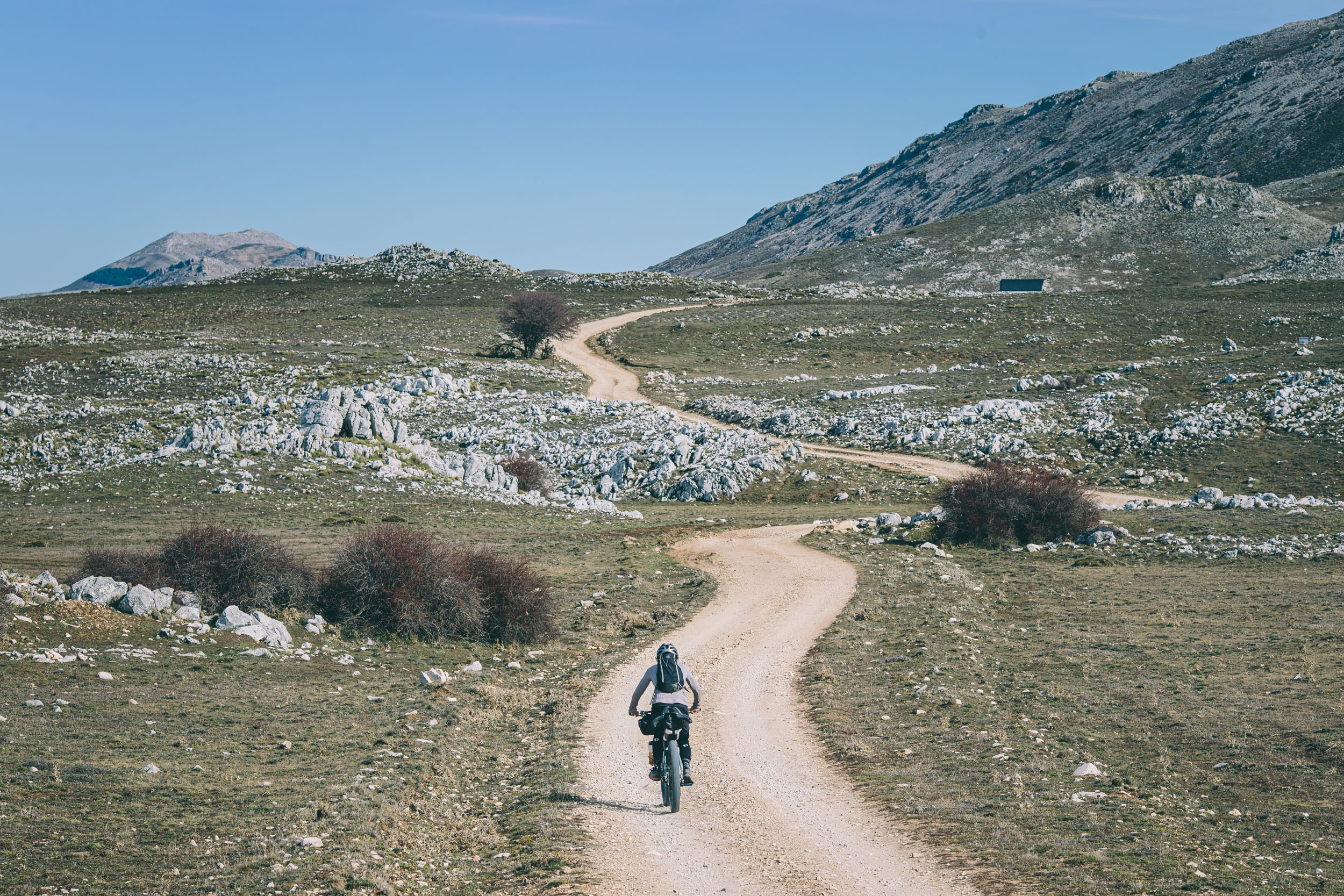
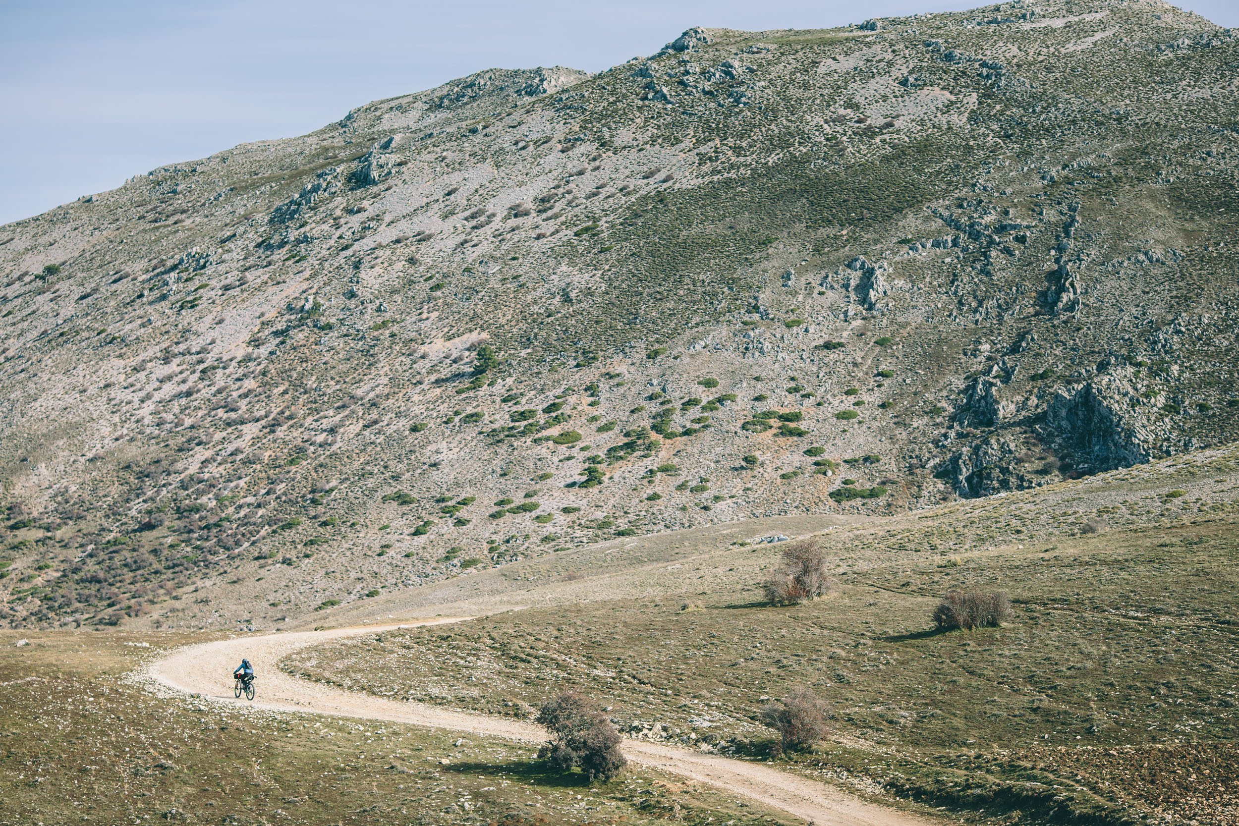
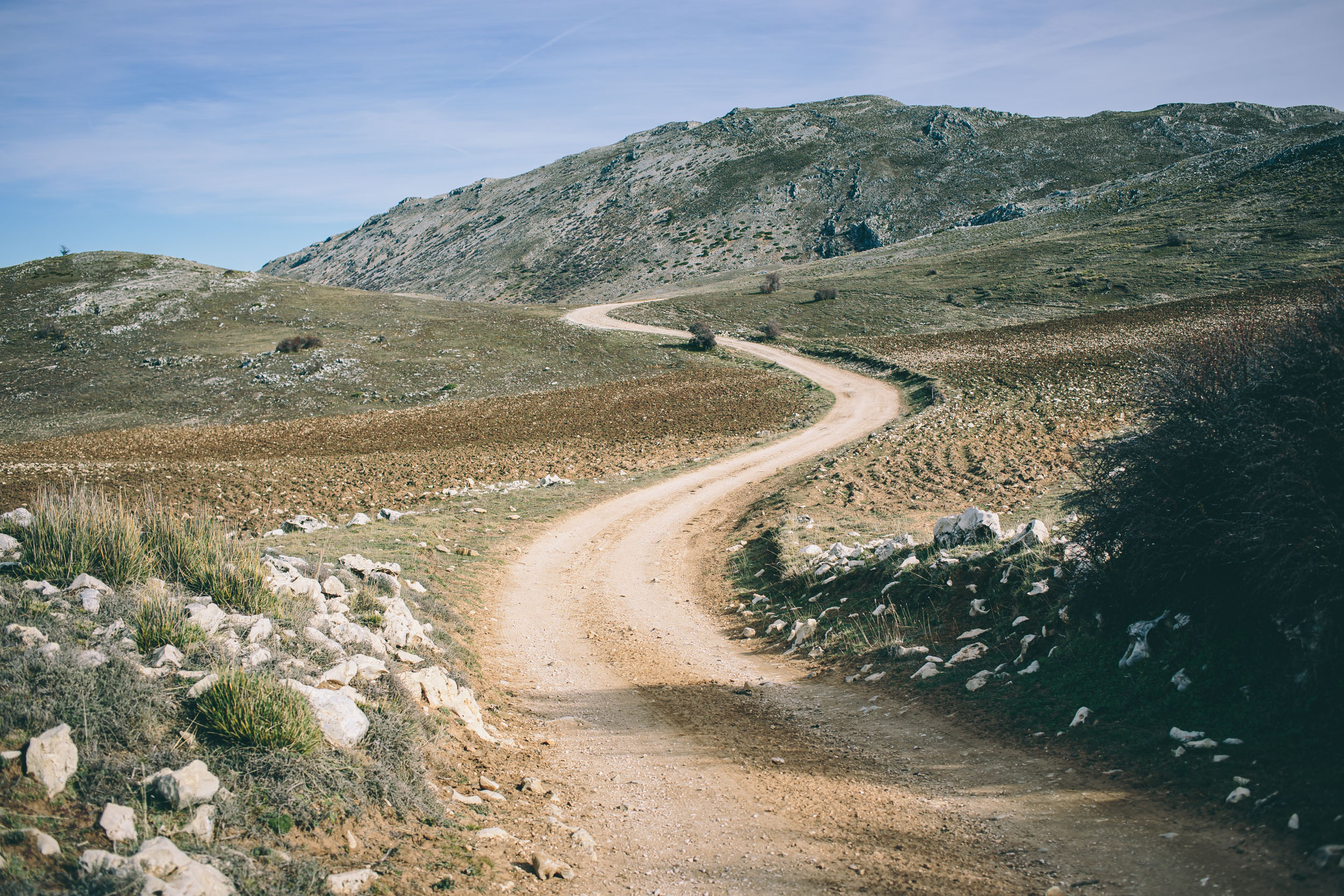
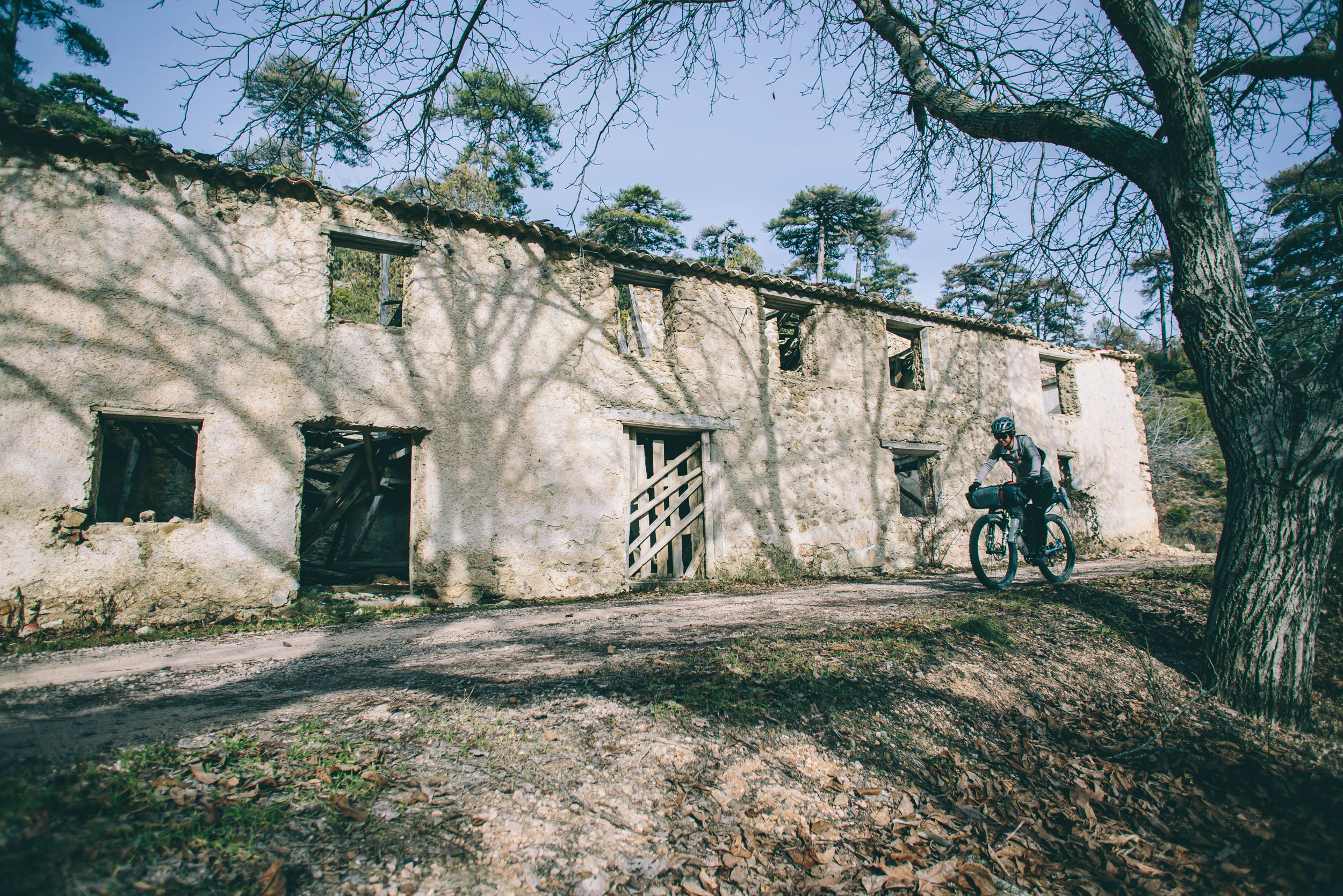
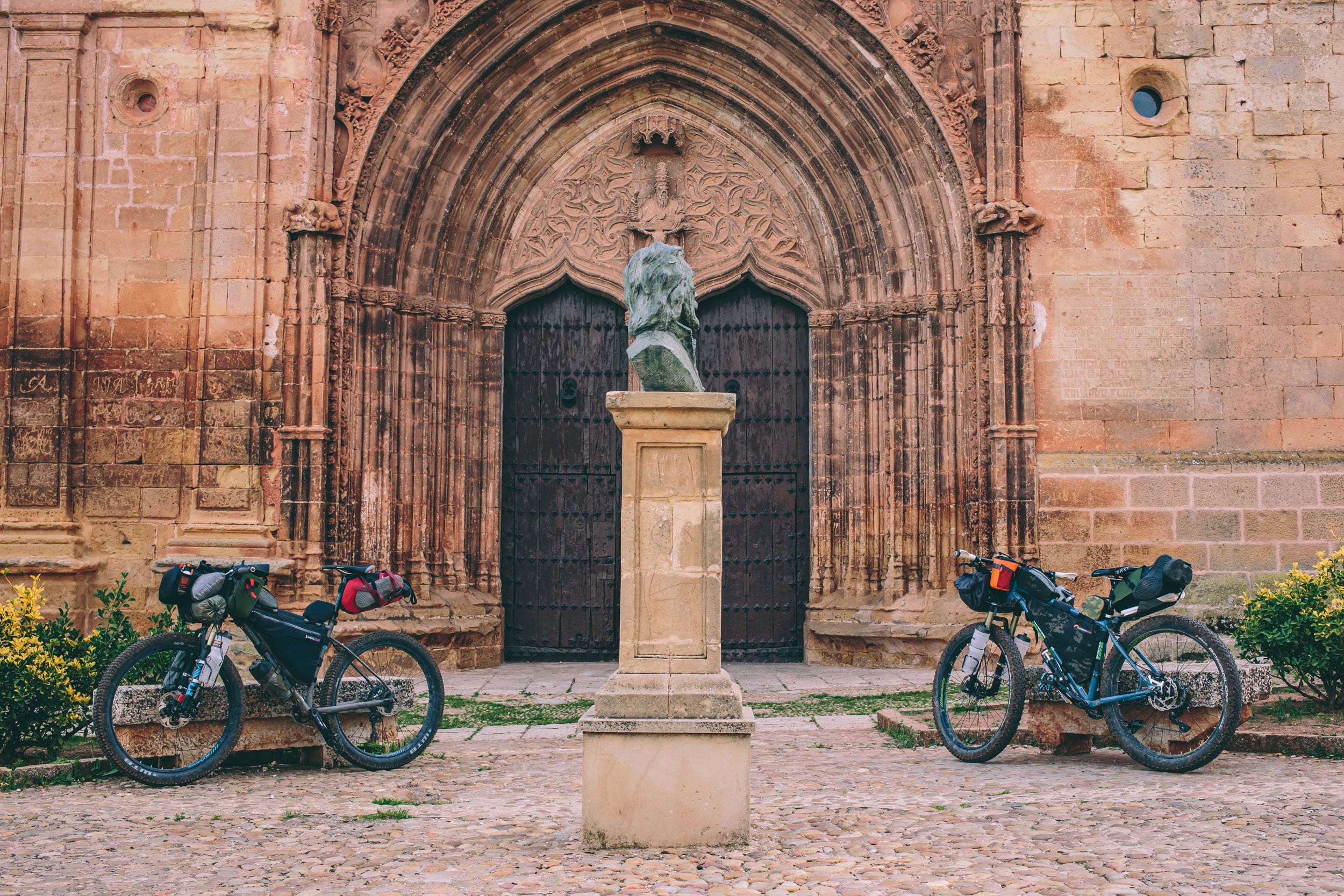
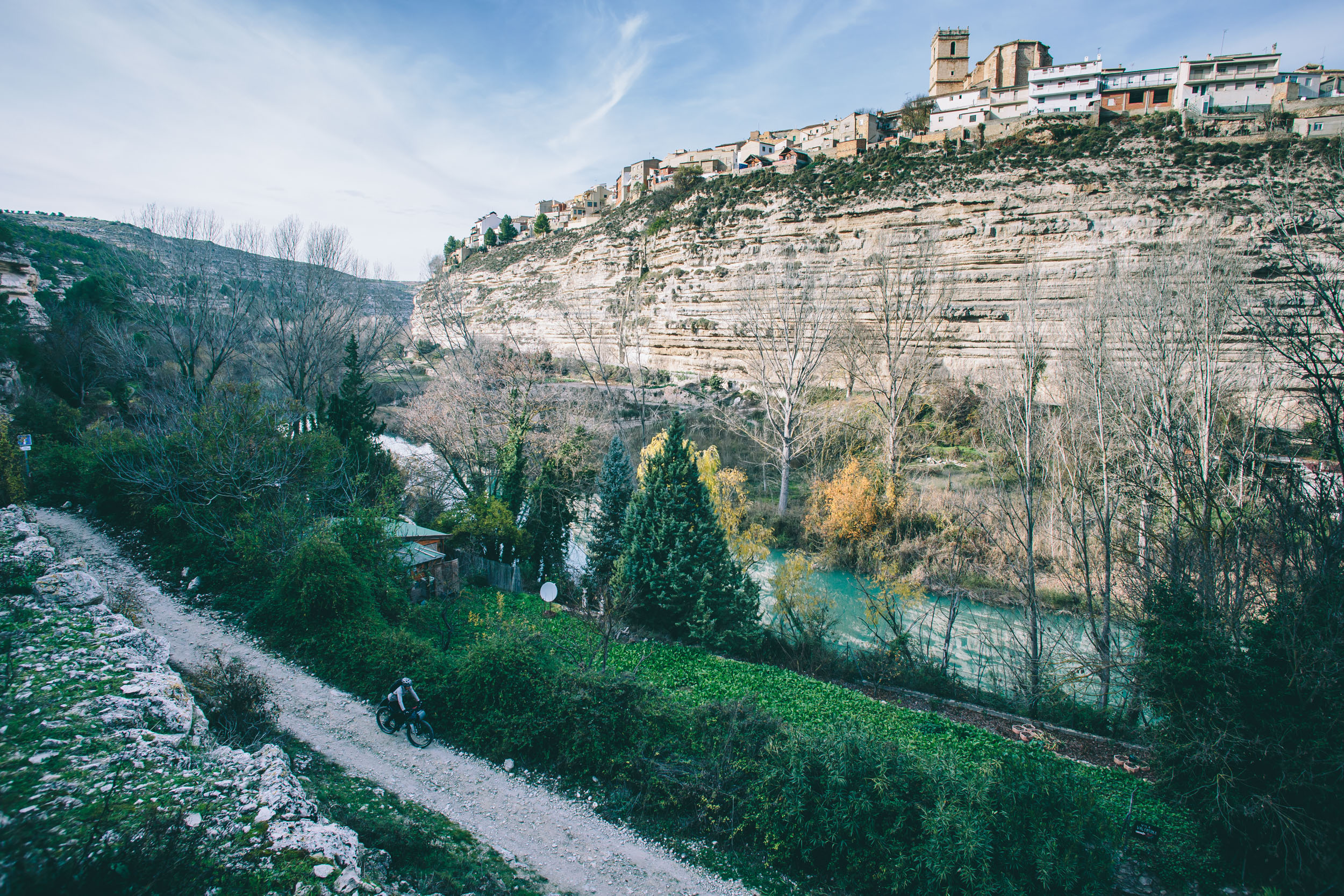
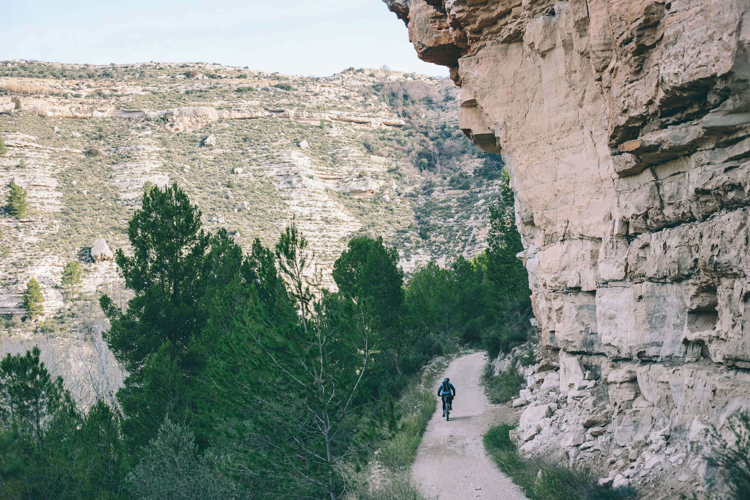
Equally as important, southern Spain is full of magnificent vistas and rustic charm. Twenty percent of Andalucía, the largest autonomous community in southern Spain, is sheltered as natural or national park land, leaving intact swaths of forested mountains and relatively wild terrain. Andalucía also seems to be frozen in time—as if it’s resisted contemporary modernity—and retains a somewhat traditional way of life. The olde world permeates the small agriculturally dependent villages that dot the landscape, and hints of Roman roads, Moorish architecture, and crumbled stone structures add to this allure.
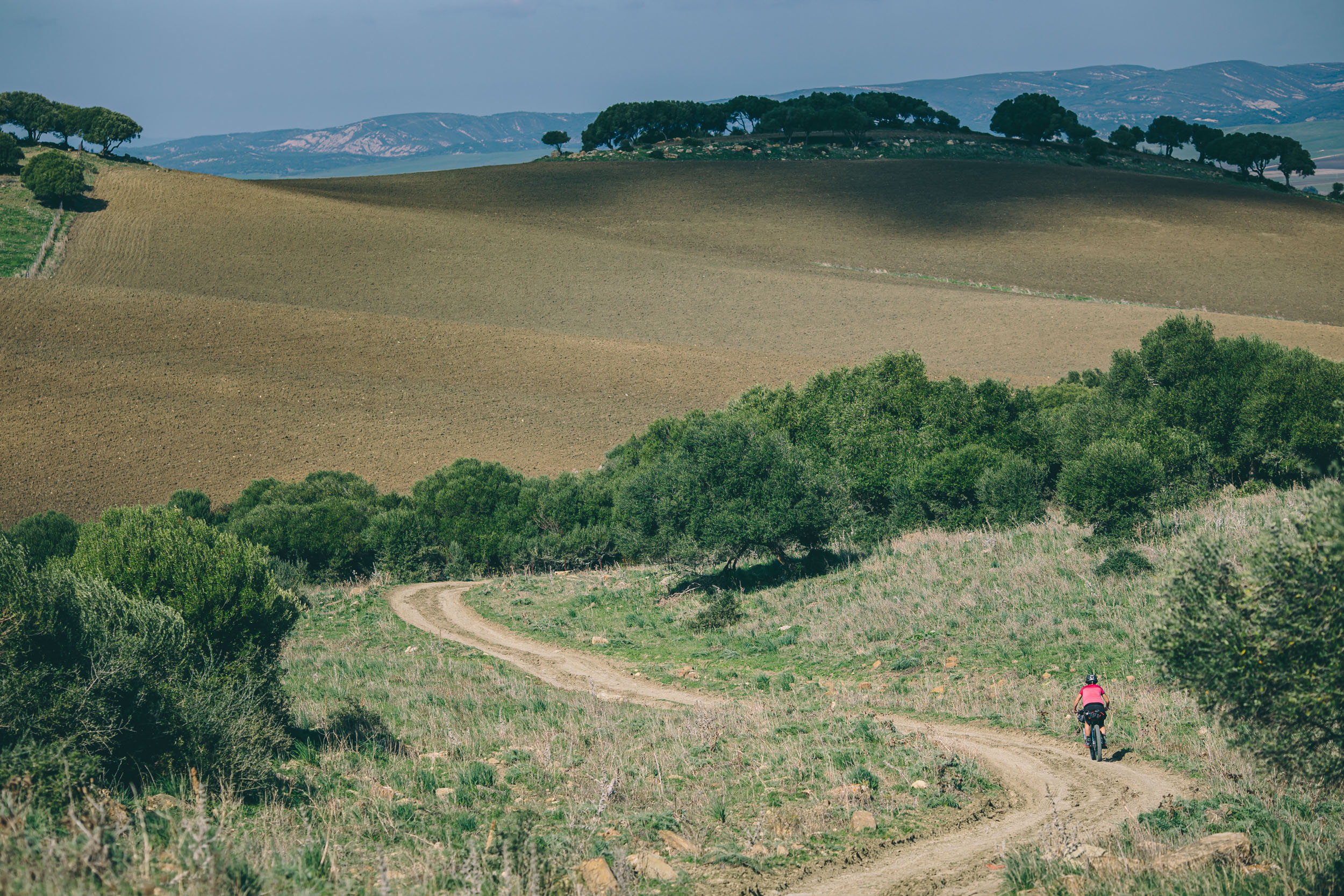
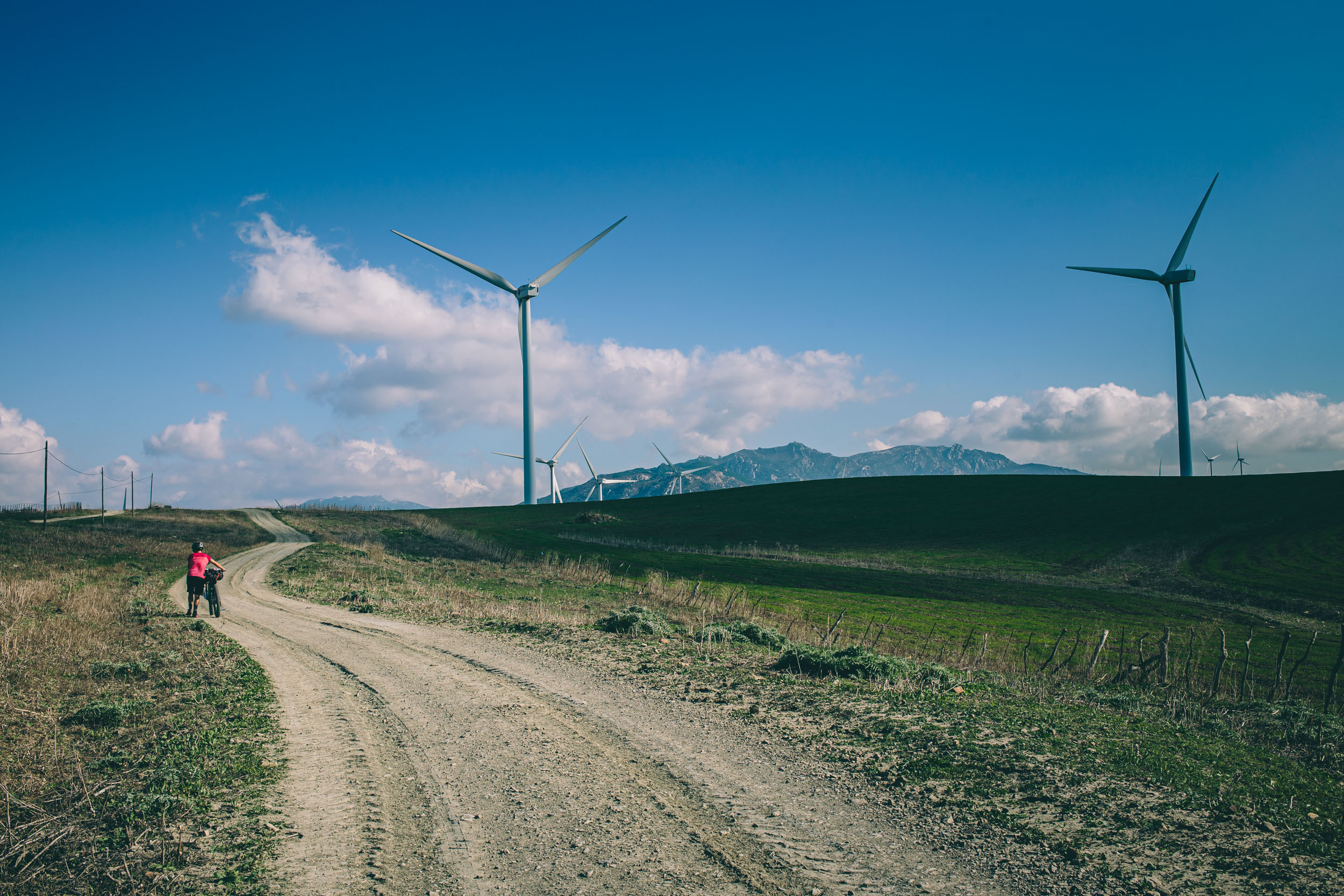
We had scouted a portion of this route two years prior to the main scouting and planning mission, so we had an idea. Essentially, the Altravesur was born from a more focused goal to cycle across Andalucía via the GR7 footpath, part of the long European Route E4. On paper the GR7 sounds perfect for cycling; it follows mostly unpaved tracks and runs from Tarifa, near Gibraltar, across southern Spain, then north to Alsace in France, where it meets the E5. But the GR7 is a walking route, and, after we discussed route planning with local mountain bikers, it’s not always ideal for mountain biking. In short, the Altravesur is loosely based on the GR7. But considering that its planning coincided with its inaugural scouting, there was simply too much potential to join interesting geography and natural parks by integrating other options. The result is a ruggedly sublime trek through a sun-baked landscape and cultural time warp, over a weave of slopeside footpaths, winding pisté, agricultural tracks, and maze-like towns.
Route Difficulty
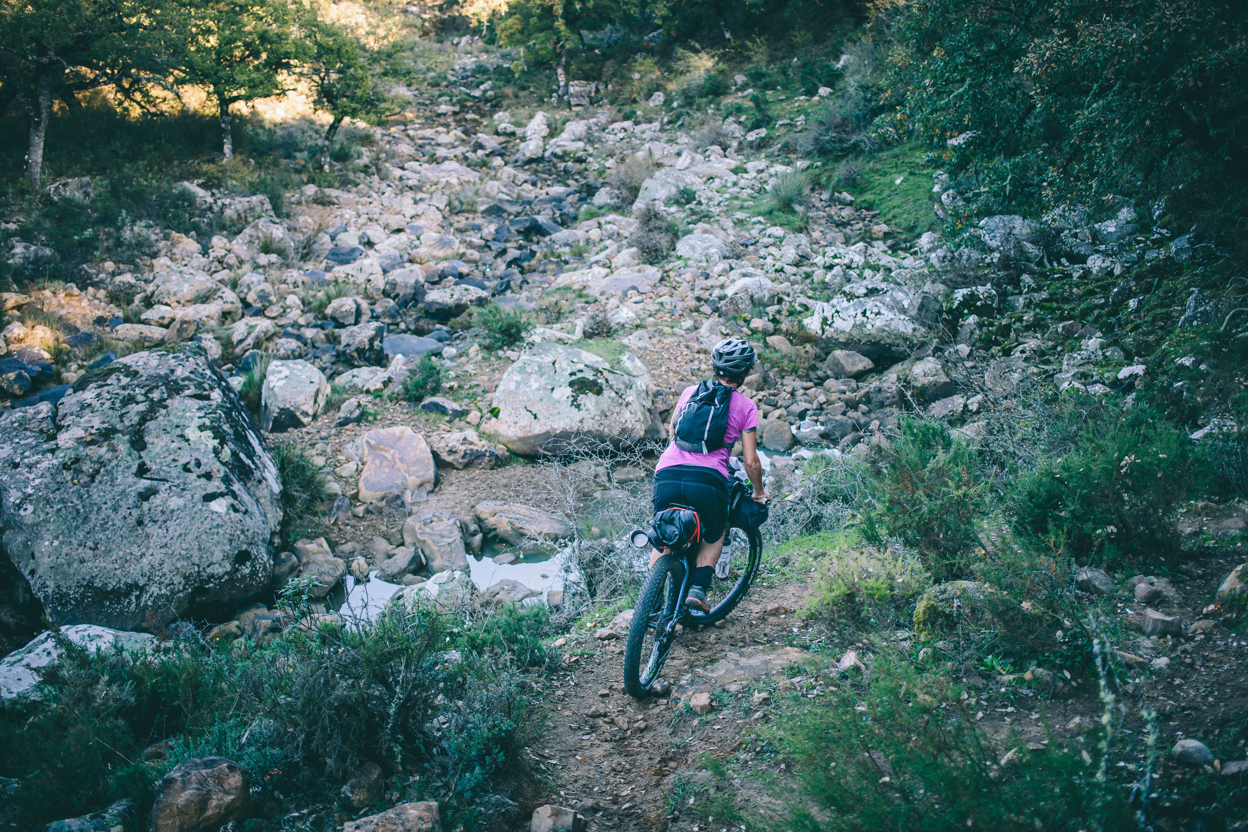
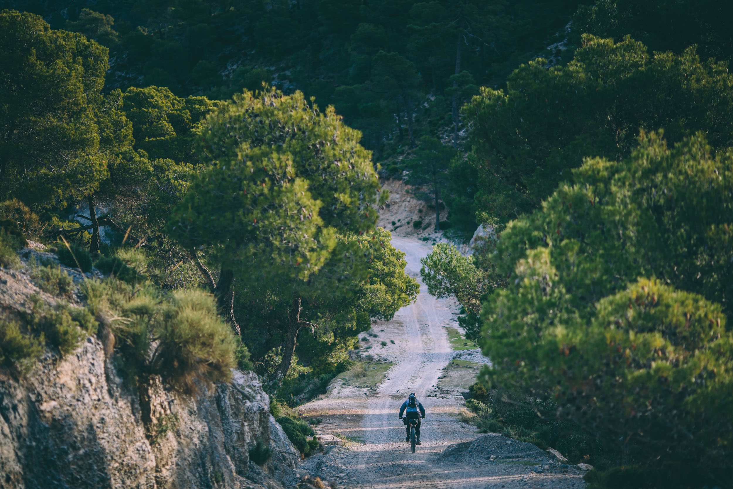
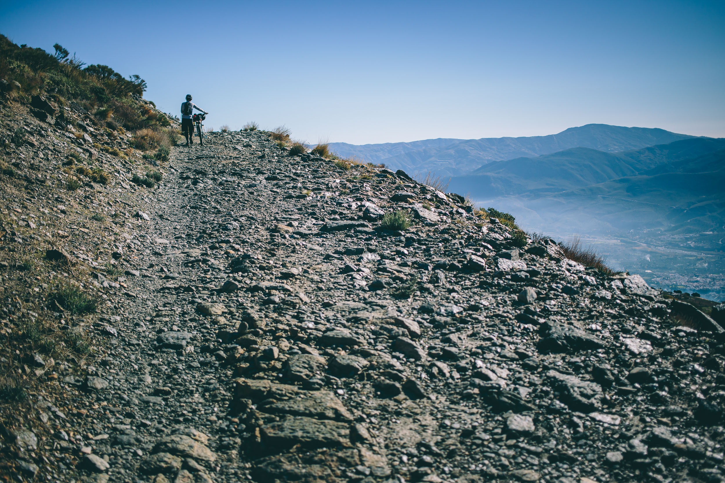
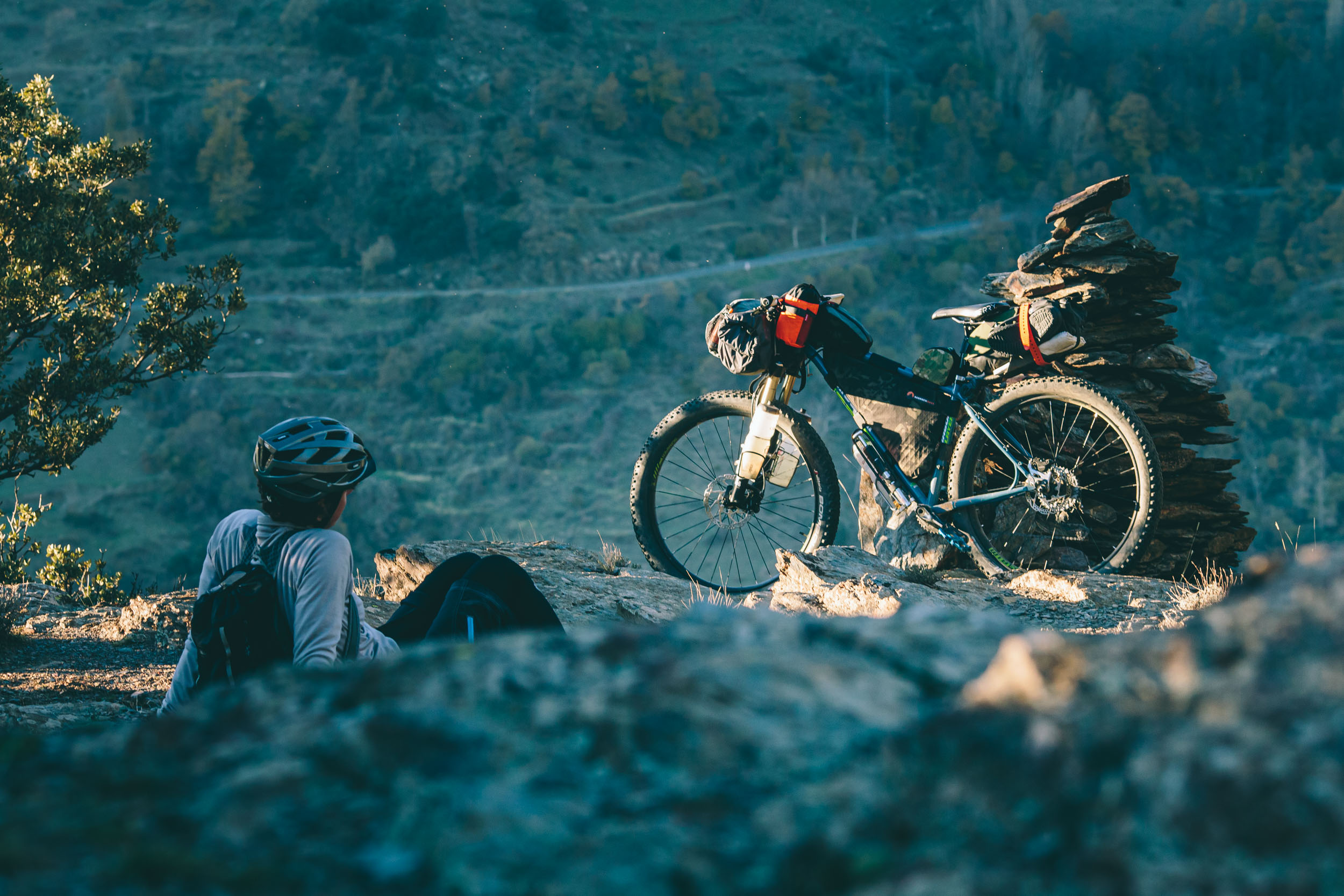
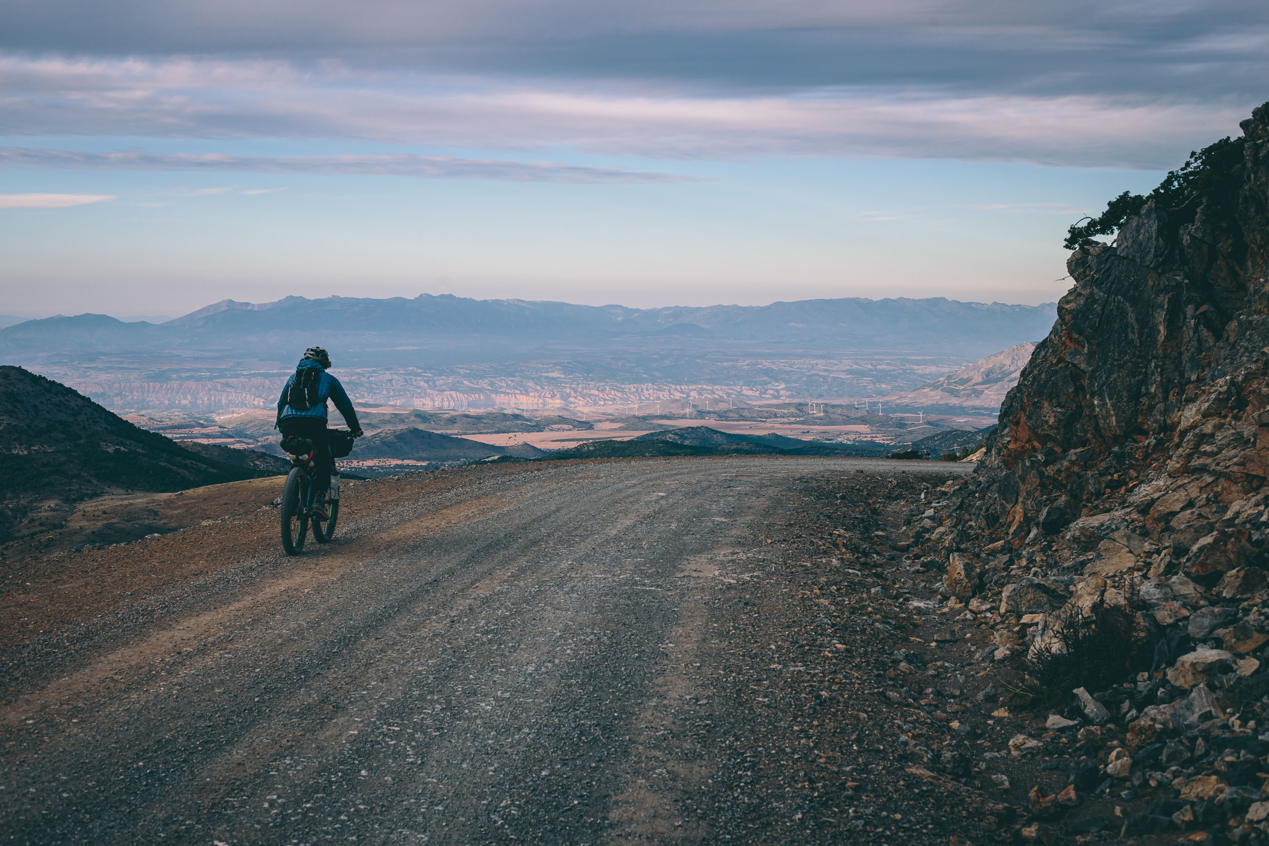
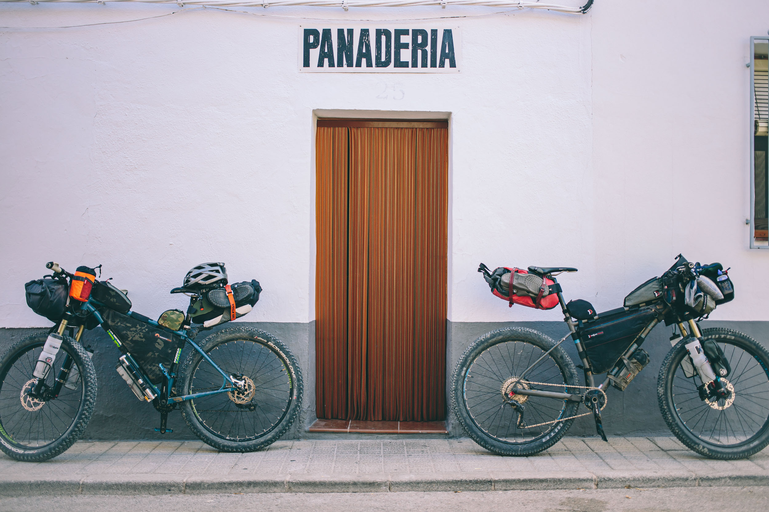
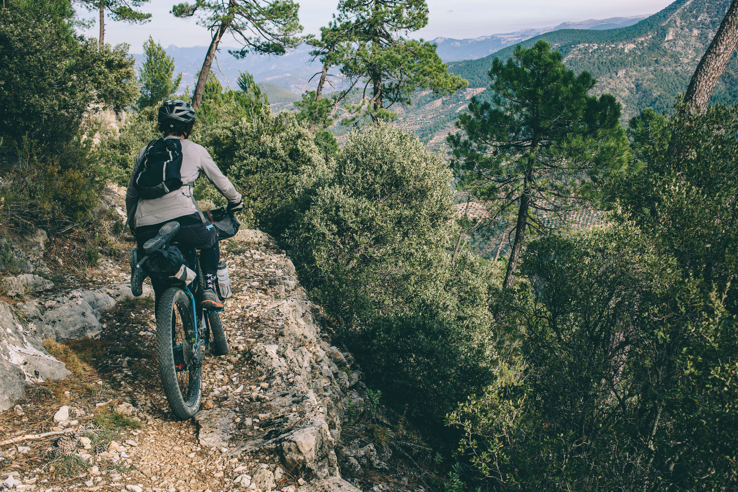
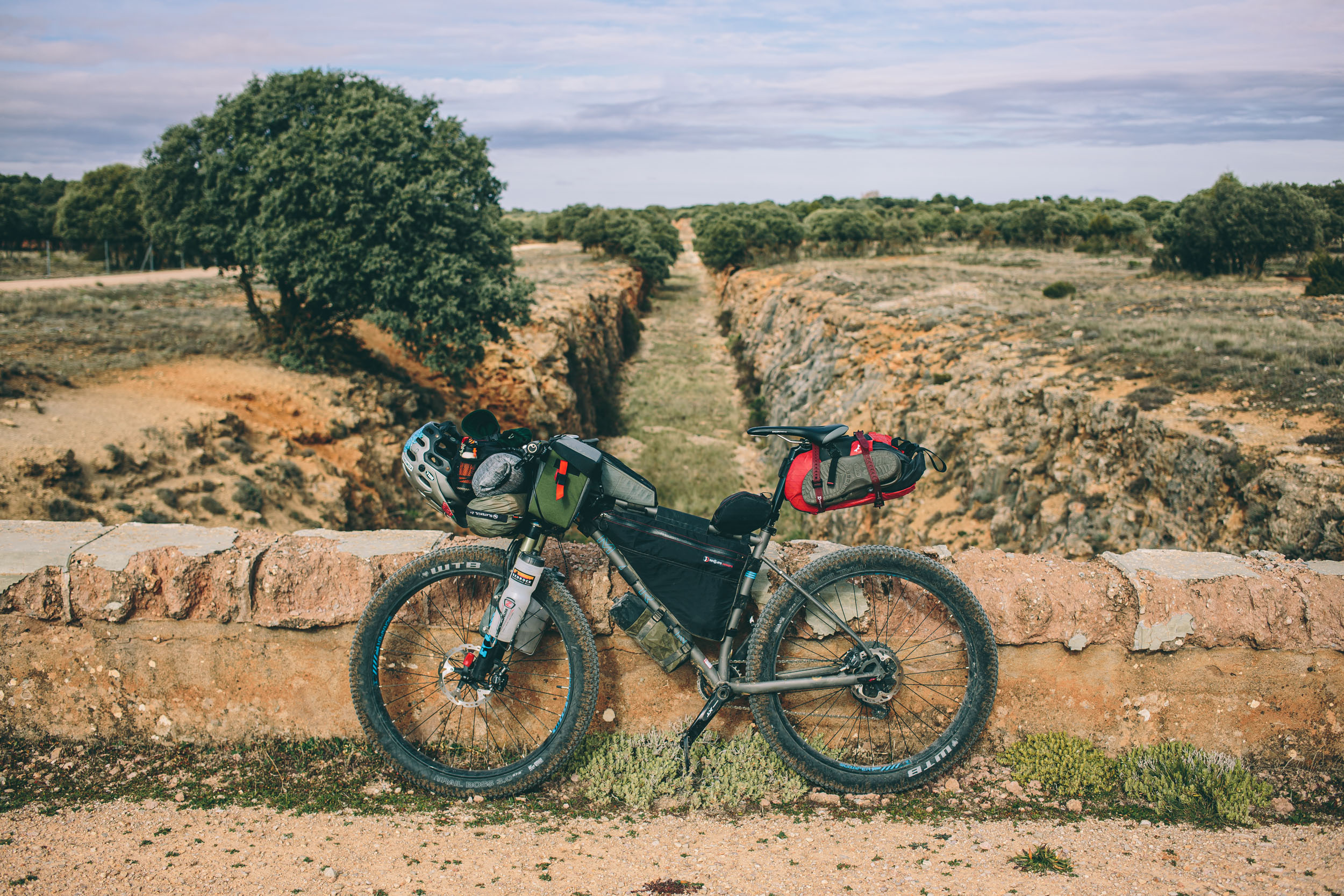
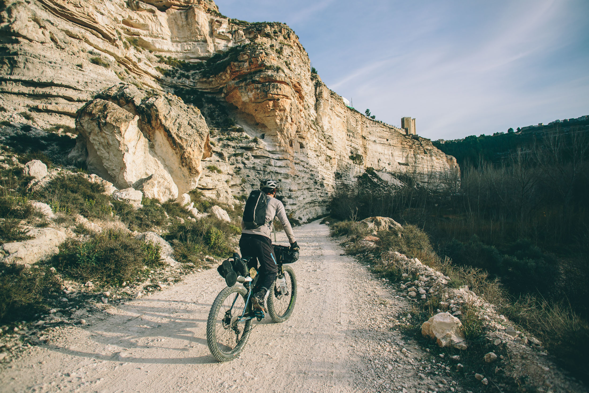
All that comes with one warning, though. This is a tough route at times. Some of the tracks are steep and crumbly, and hike-a-bikes aren’t too infrequent. I would say that it’s not too technical, although there are a handful of short stretches that defy that claim. Even so, the Altravesur is best ridden on a mountain bike or rig with 2.0″ tires or larger. Resupply is fairly straightforward with many small towns and places to stop along the way.


Submit Route Alert
As the leading creator and publisher of bikepacking routes, BIKEPACKING.com endeavors to maintain, improve, and advocate for our growing network of bikepacking routes all over the world. As such, our editorial team, route creators, and Route Stewards serve as mediators for route improvements and opportunities for connectivity, conservation, and community growth around these routes. To facilitate these efforts, we rely on our Bikepacking Collective and the greater bikepacking community to call attention to critical issues and opportunities that are discovered while riding these routes. If you have a vital issue or opportunity regarding this route that pertains to one of the subjects below, please let us know:
Highlights
Must Know
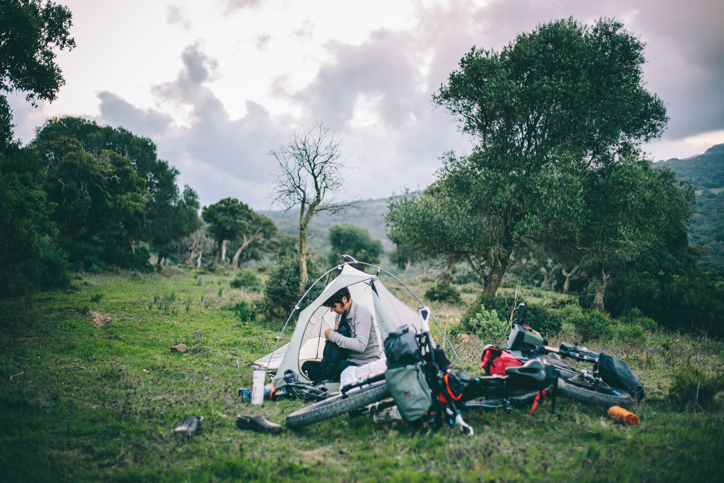
Camping
Food/H2O
Trail Notes
Resources
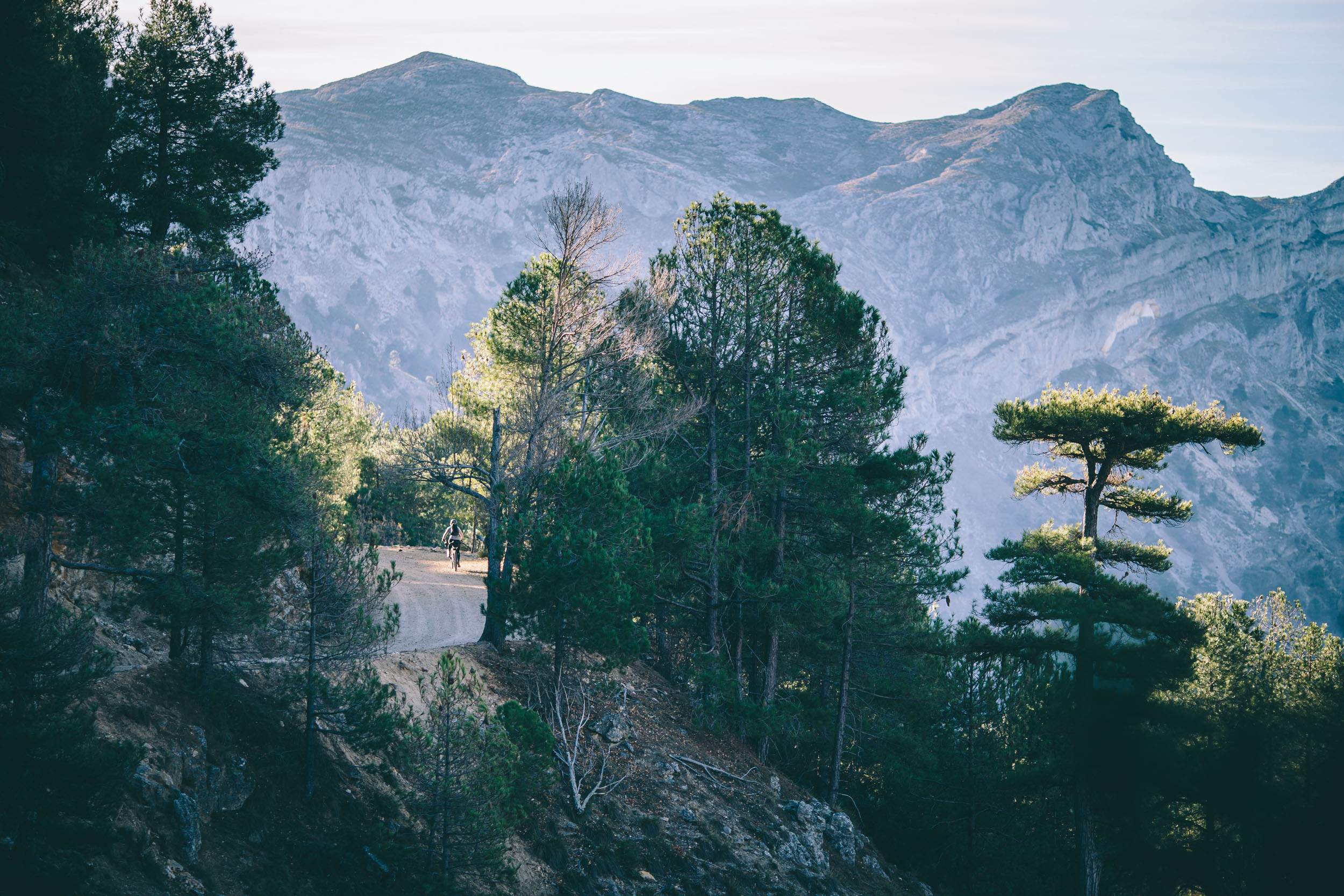
- The scenic beauty of the Andalusian parks, including the Alcorncales, Sierra de Grazelema, Sierra Nevada, and the amazing Sierra de Cazorla Segura y Villas.
- Stretches of incredible rocky, remote dirt roads through forests and farms.
- Nice and easy wild camping amongst ruins and olive trees.
- Navigating ancient, maze-like hill towns; and the Alpujarras, the white villages in the Sierra Nevada range.
- The GR247 and the landscape of the Cazorla: everything from Waldenesque forests, to moonscape mountains, to desert peaks.
- A nice slice of singletrack through Rio Jucar and the incredible towns and sights there.
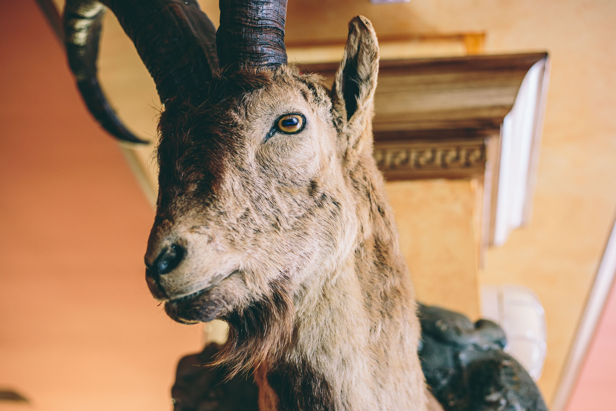
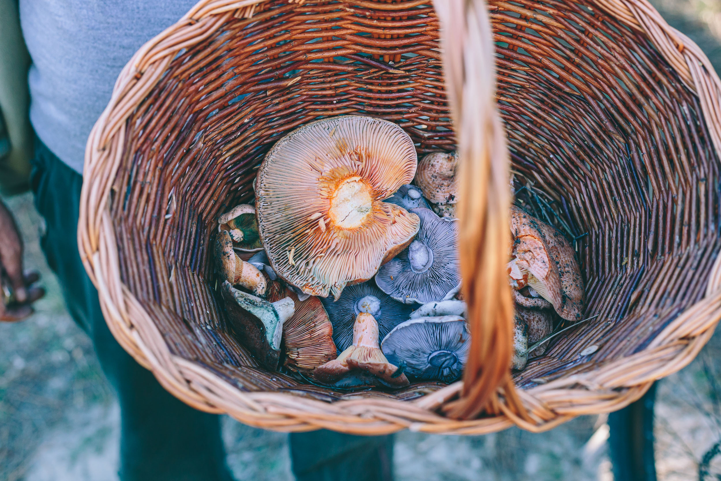
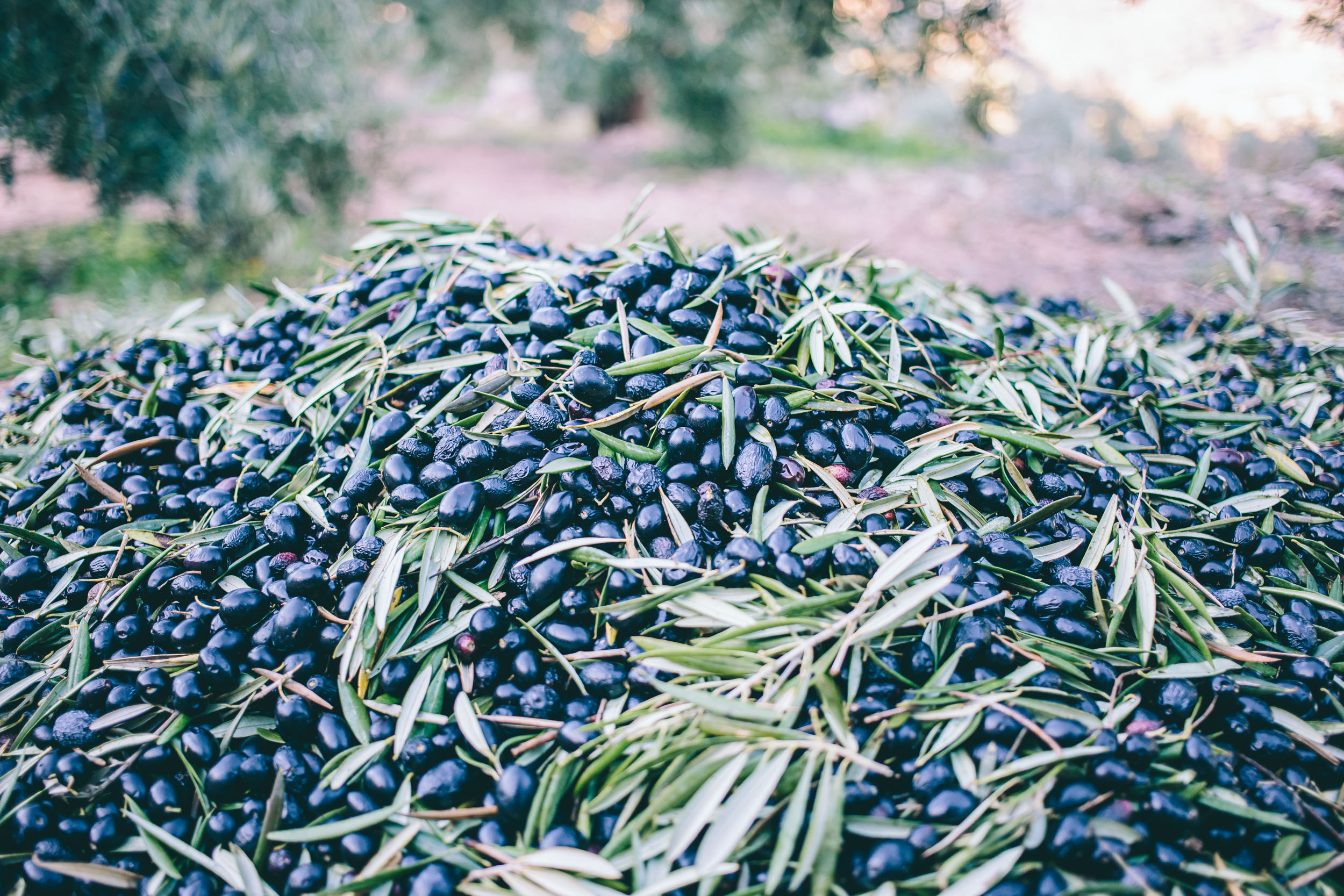
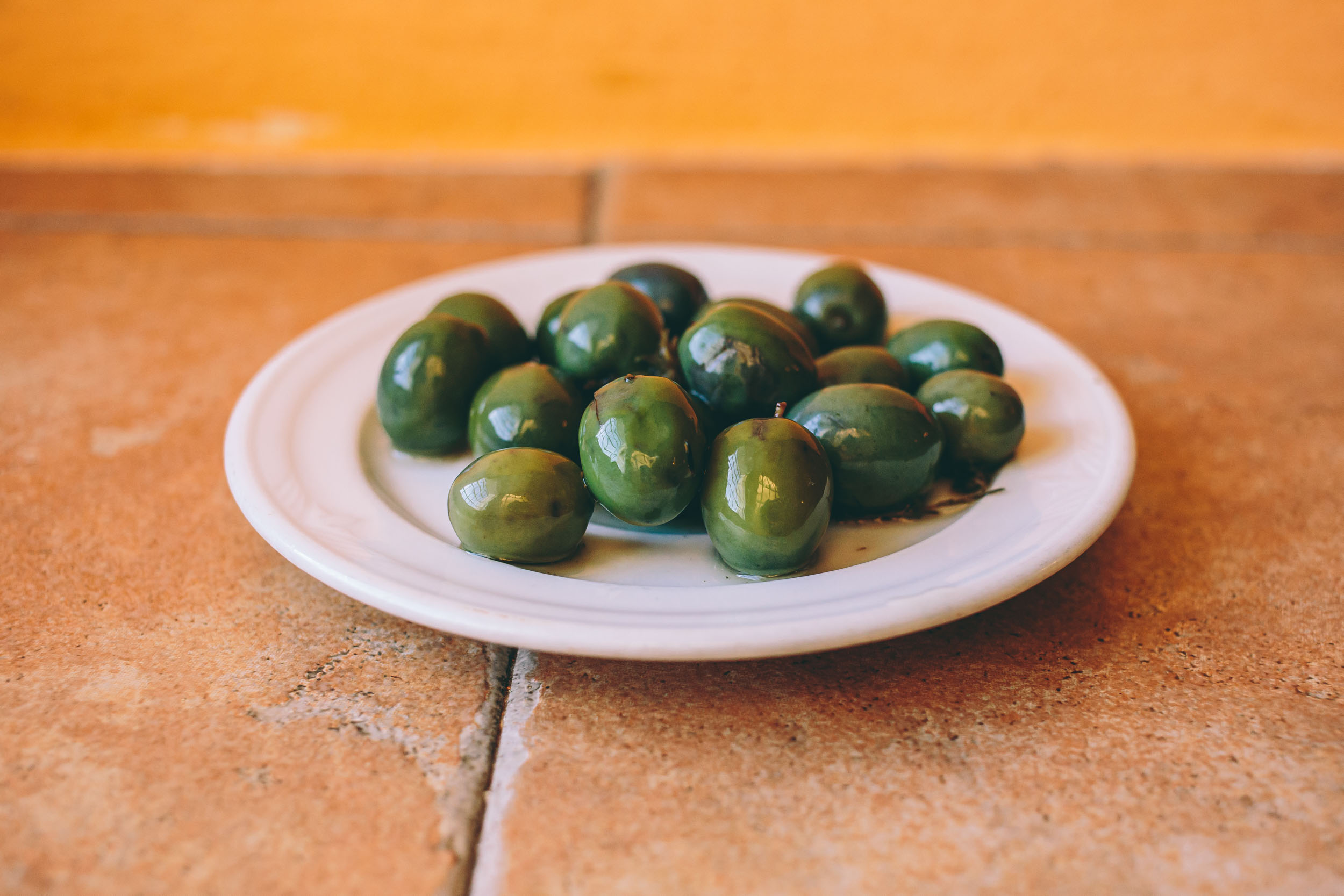
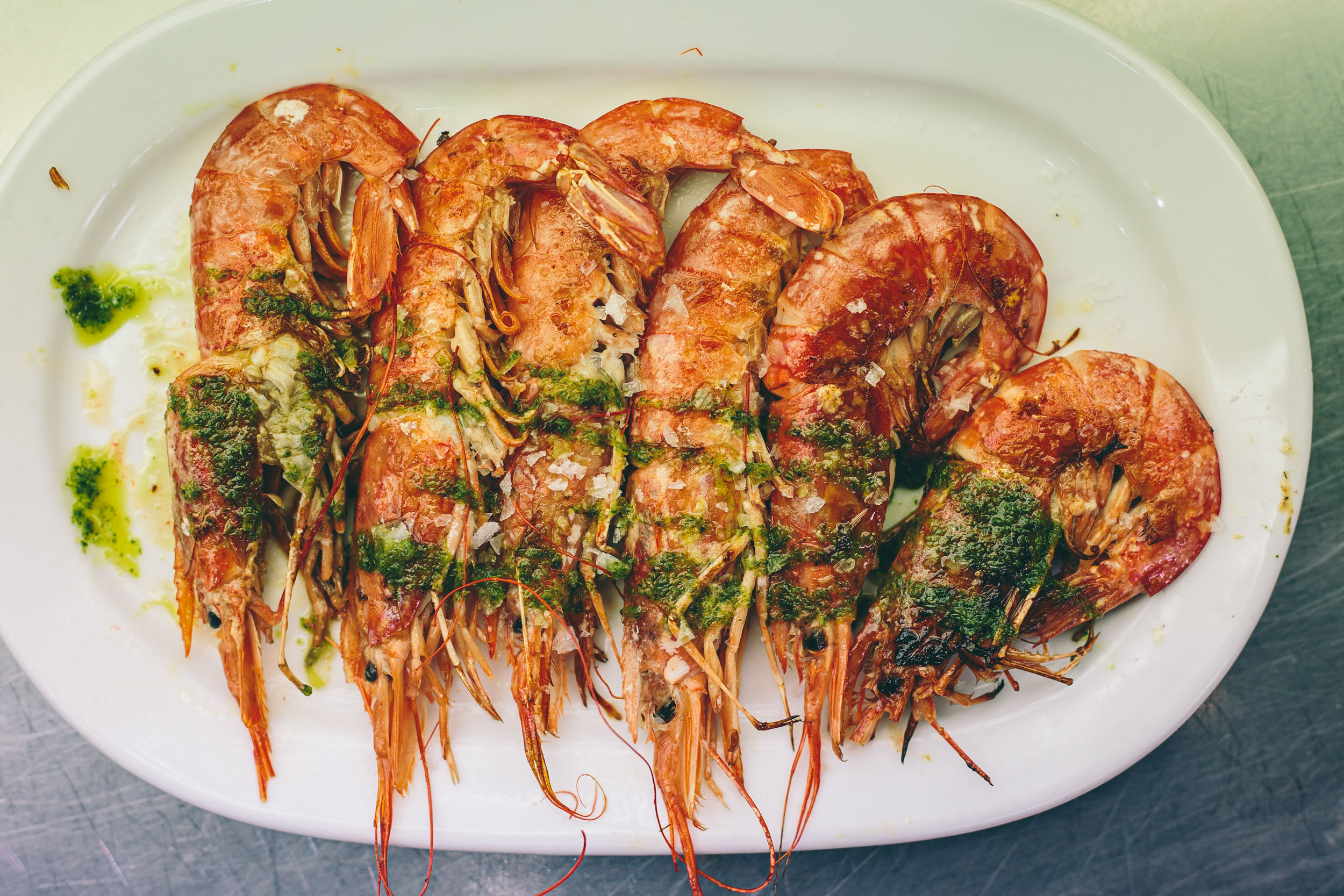
- The food: an endless supply of inexpensive espresso, fresh olive oil, tortillas de patatas, fresh local goat and sheep cheeses, seafood, house made olives, and free-range Ibérico pork, just to name a few. In rural southern Spain, it’s fairly easy to eat on the cheap.
When to Go
- The majority of the route takes place in Andalucía, Spain’s southernmost region, which has a relatively mild Mediterranean climate and attracts visitors throughout the entire year. Its southern coast, or La Costa del Sol, also known at the The Sun Coast, is somewhat warmer in the winter.
- Spring and fall are ideal times to visit Andalusia. May and October are the best months in terms of both weather and crowds. In our view, however, the month of May is the ideal time with an average temperature of 61°F/16°C.
- The mud in most of the southern sierras can be hell on a bike after a rain. There are many microclimates throughout Spain, but in general, the rainiest months are from December through March.
Logistics
- Spain’s high speed trains don’t allow bicycles unless they are in a tiny parcel (i.e. folding bikes in a bag); the key is to use the Media Distancia trains. They allow you to roll your bikes on and off, anytime.
- There are regular MD trains that run from Madrid to Sevilla or Cadiz (the route start).
- Although we didn’t try this, it’s often easy and relatively inexpensive, if not free of charge, to stow bikes on a bus. However, sometimes bus companies do require bikes to be wrapped in some sort of plastic (bin bags or cling flim).
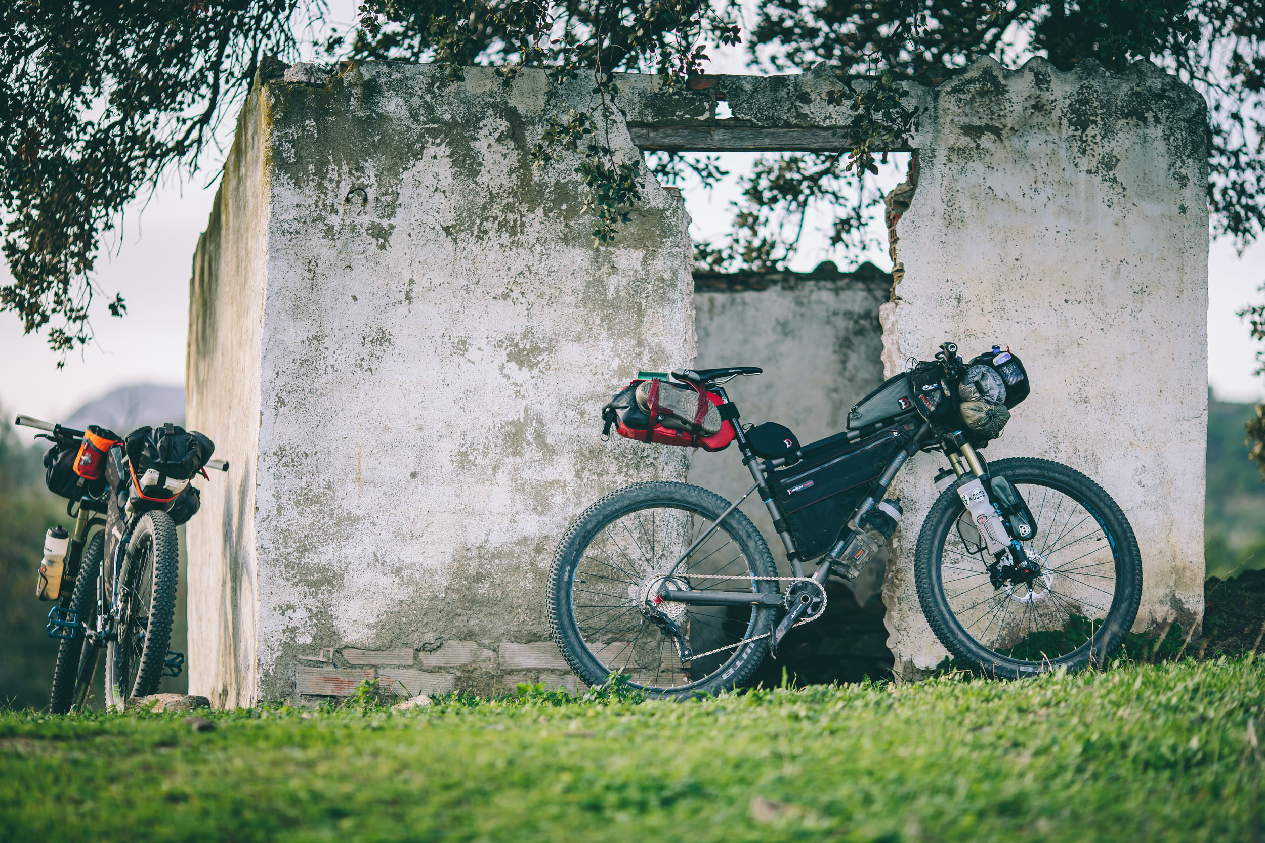
Equipment
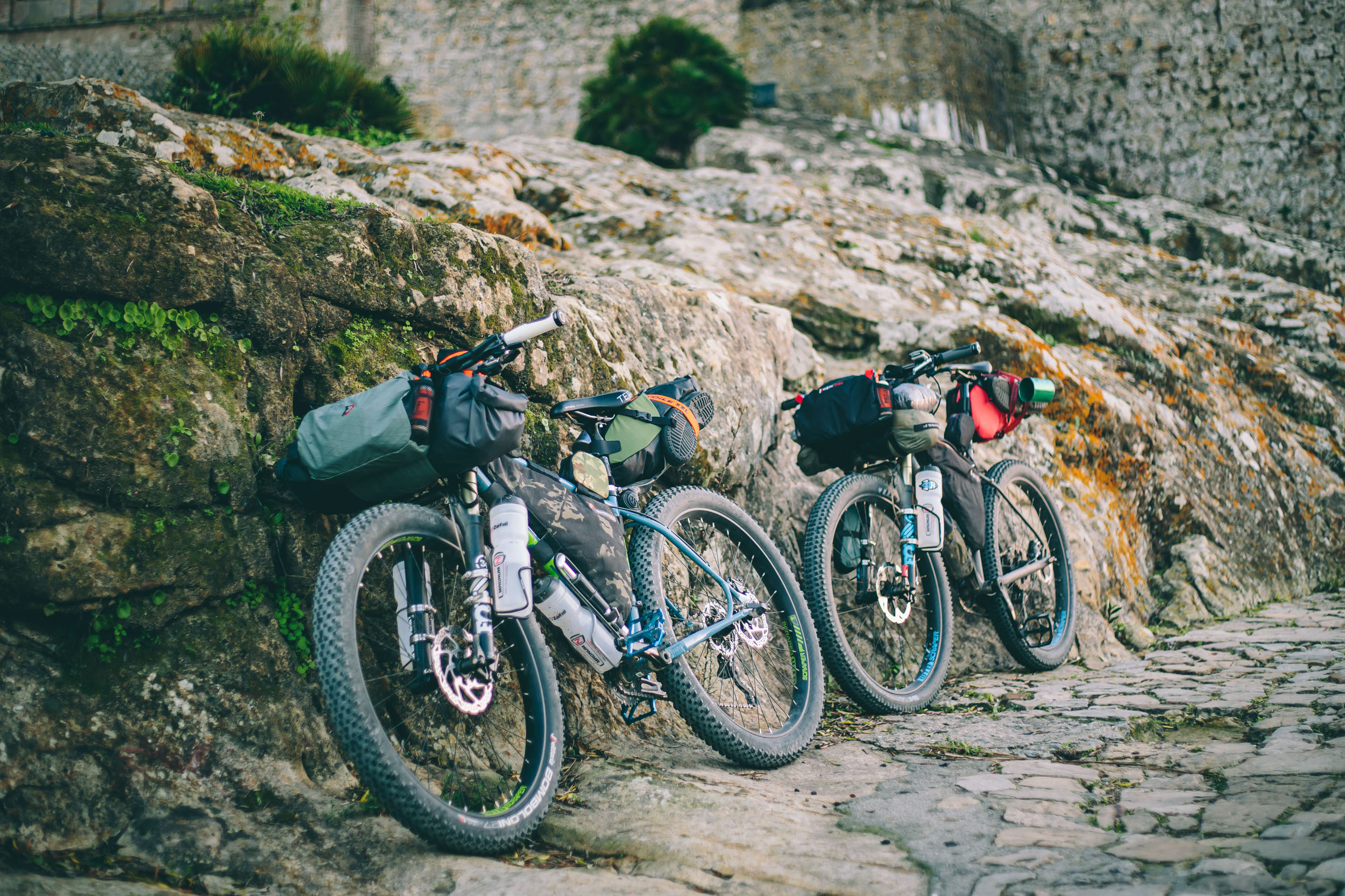
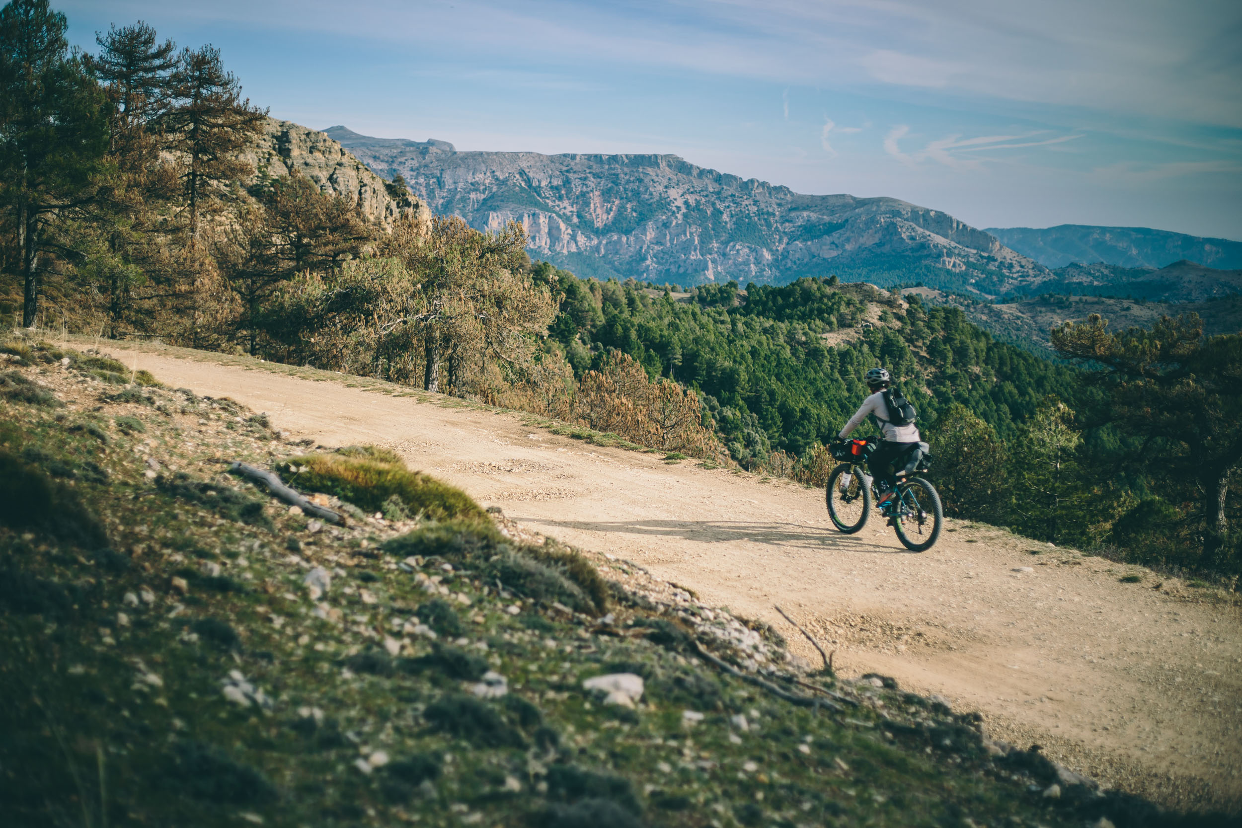
- A mountain bike is almost necessary for this route. While a lot could be done on a CX or gravel bike, there are some pretty chunky sections. We chose 27.5+ bikes which proved perfect for the job; read in context reviews of the Marin Pine Mountain 2 and Jamis Dragonslayer.
- Tubeless is a must here. Portions of the route are desert, and goat heads and spiky things abound.
- As mentioned above, the mud in most of the southern sierras can be like concrete. Some folks even carry a spare derailleur.
Other need to know
- Most of the route is off the beaten path, and next to China this is probably the least English speaking place in my travel repertoire. If you don’t know Spanish, bring a phrase book, or learn a little before your trip.
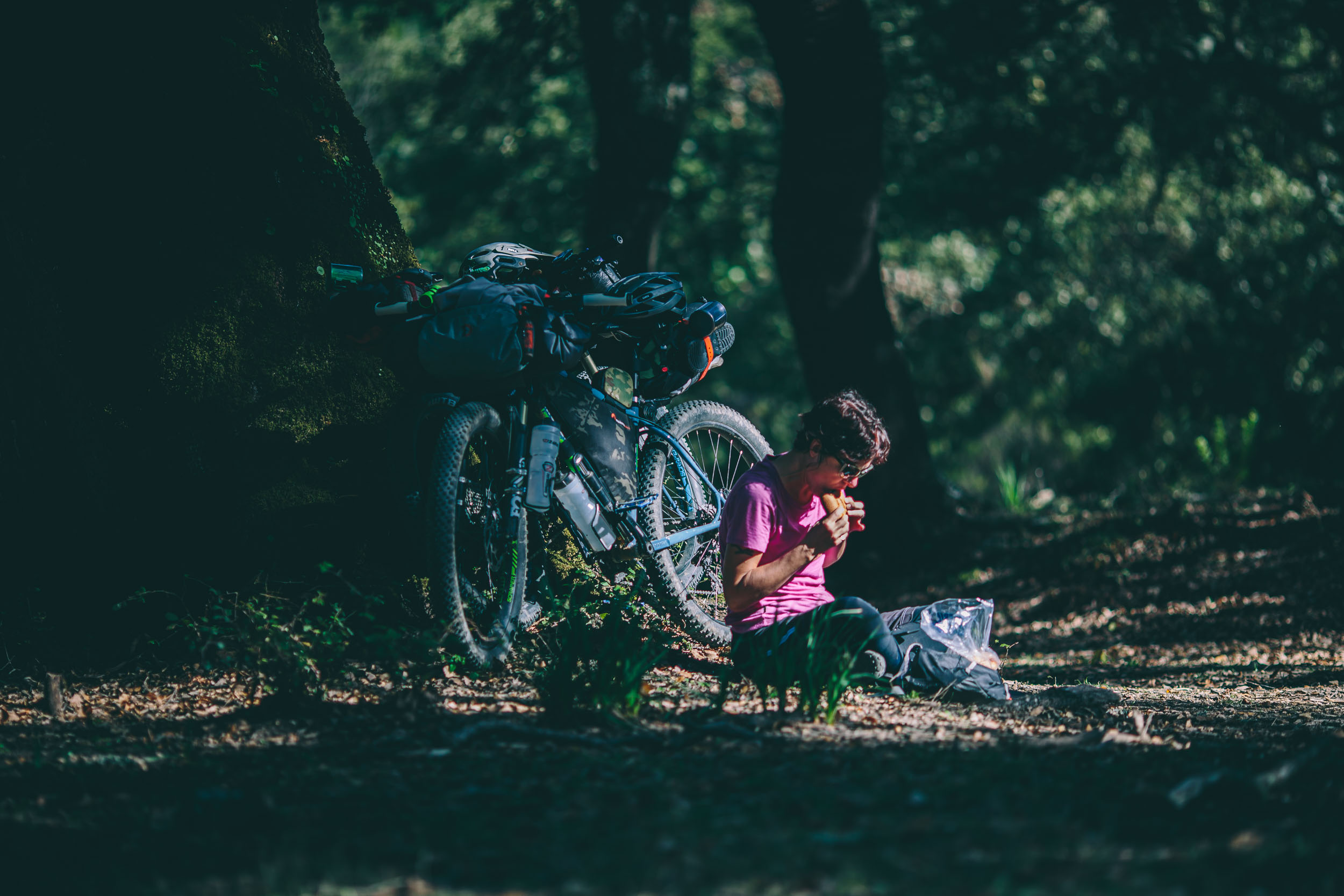
- It’s easy to wild camp on most of the route. Check with each natural park you pass through for specific rules. There is a lot of farmland and it’s as simple as asking a local farmer; most of the time it’s absolutely OK. And as always, #leavenotrace.
- There are campgrounds and refugios along the way as well, especially around the GR247.
- Other than camping, hostals are the best option for cheaper accommodation. Expect to pay 20-50 Euros for a double in most small towns.
Necessities
- There is water by way of fuentes, or fountains, in almost every town or village. There are also fuentes in some of the parks.
- There are a couple stretches where water can be an issue, particularly the western portion of the Sierra Nevadas and the Sierra de Baza, but overall as long as there is a town or village, getting water from a fuente is easy.
- It’s sometimes necessary to time rides through villages when the market is open (markets usually close for siesta from 2-5PM).
- Conversely, if you time your daily rides just right, you can roll through a village and catch their late lunch from 2-4pm.
- The best economical source of fuel comes from panaderias, or bakeries. Typically you can get pastries or breads for pocket change. Pair that with some local cheese and olives and you have a nice lunch.
Eat Well
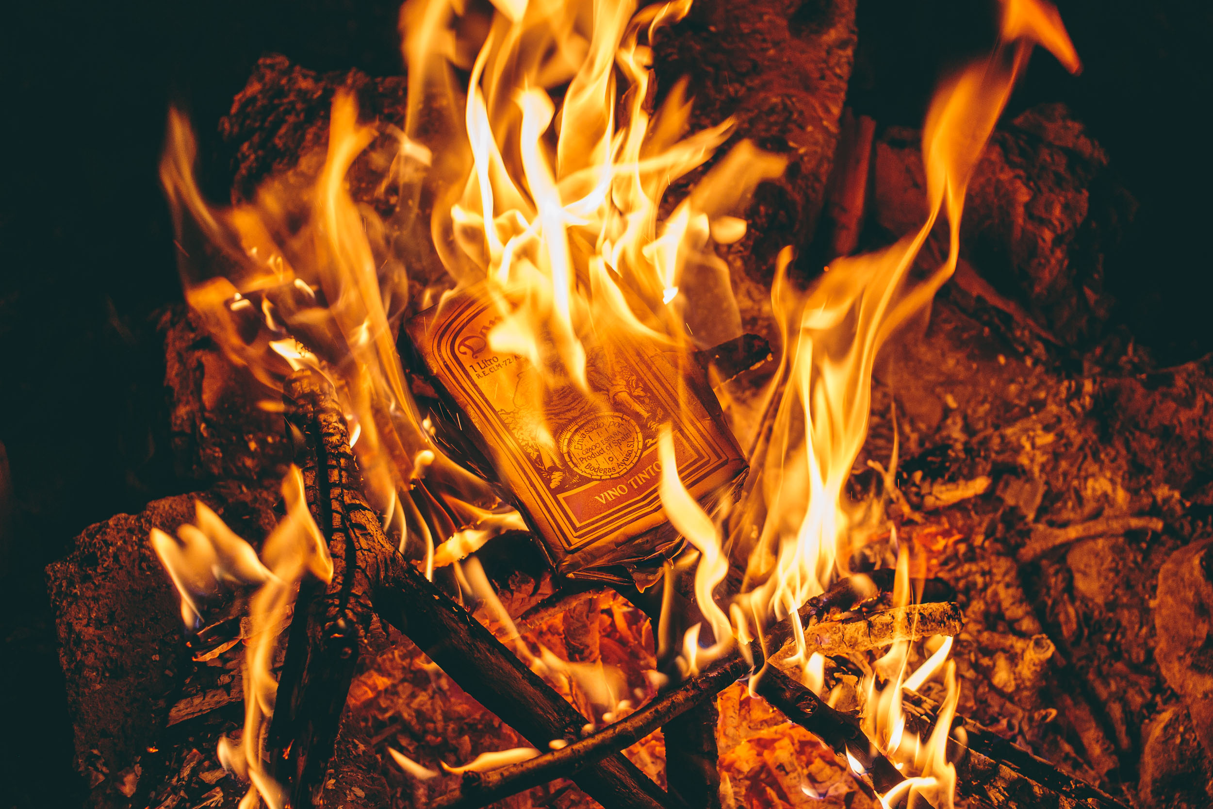
- Cervesa can be ordered in one of three sizes, from small to large: caña, tubo, and jarra.
- The Spanish know how to do coffee! We found it convenient, and enjoyable, to camp prior to a village, then break camp early and roll into town for coffee and tostada (large slices of toasted bread with olive oil and tomato puree). You can purchase a café con leche (espresso and steamed milk) and tostada for less than $2 US.
- Olives are abundant here. Ask for olivas de la casa which are house cured olives that make a delicious afternoon treat.
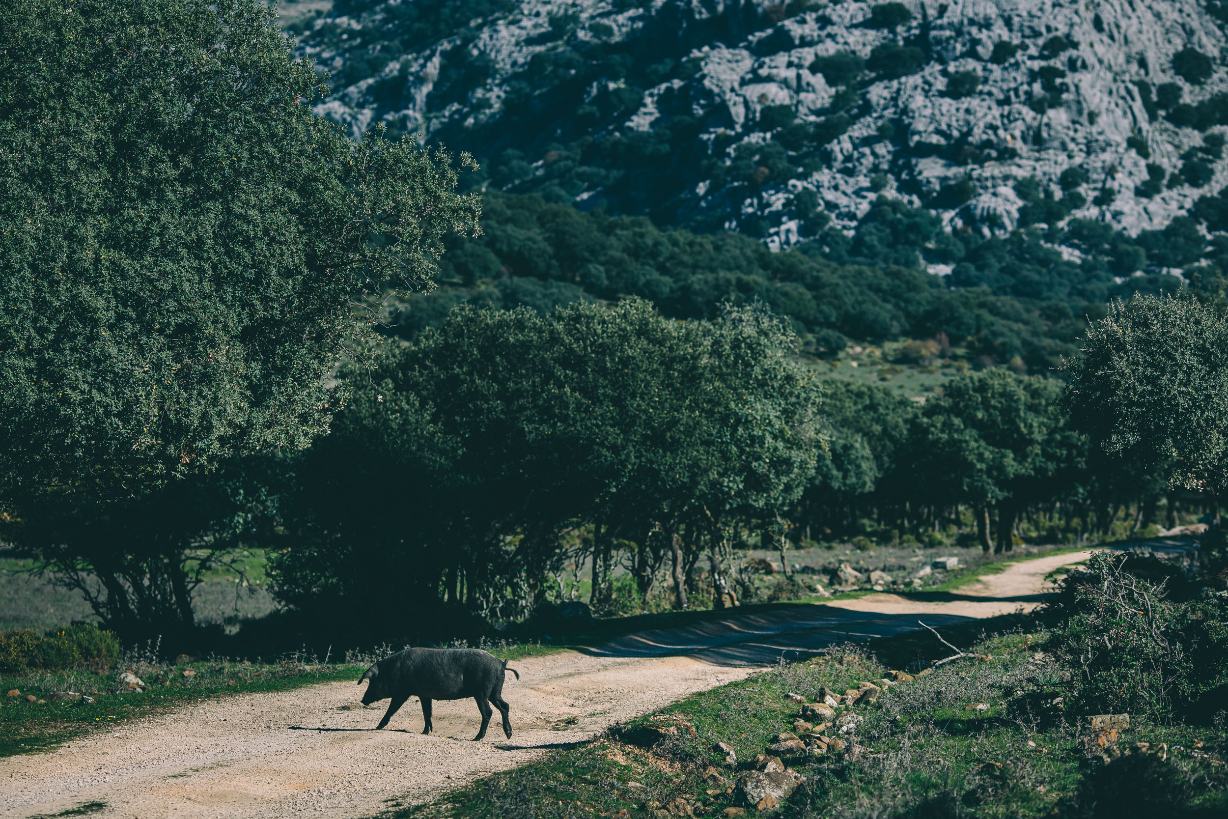
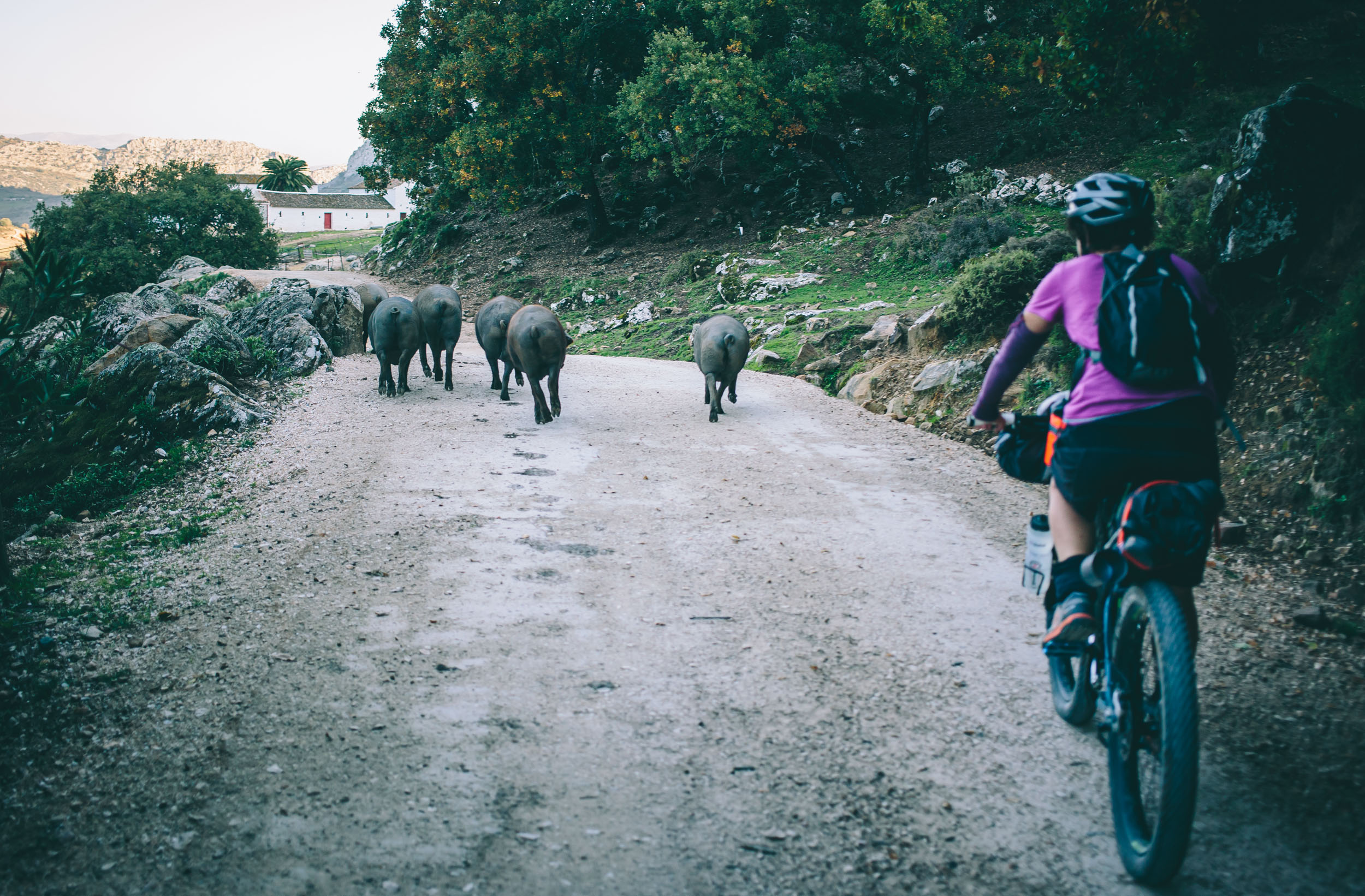
- If you are a meat eater, take note that this is Iberian-pork country and is full of free-range acorn fed pigs; get the “pluma” or “secreto” cuts from a good carnicería.
- Tapas is the key to a good trip—buy a drink, get a complimentary snack—and usually consists of a tortilla de patata, cured ham, a montadito (small sandwich), or another small regional portion. It’s a regular practice in most of Andalucia, but a definite in the Granada province…
As mentioned above, the Altravesur was designed to cross southern Spain via a compilation of routes, trails and tracks that follow the general trajectory of the GR7, from Cadiz to Valencia. Here are a few notes on some of the tracks we used to assemble the route. As with all routes on this site, the Altravesur is relatively open source. If you have ideas on how to improve it, let us know.
The TransAndalus
The TransAndalus is a 2,000km long mountain bike route which makes a complete circuit through the autonomous region of Andalucía and runs the length of its eight provinces. The TransAndalus was originally designed as a mostly off-tarmac bike route for CX or rugged touring bikes, however there are sections which are fairly rough. The Altravesur actually starts out using the TransAndalus, and often diverges and rejoins. There is a little bit of crossover between the two, at least for the first half of the Altravesur. Find more info on the TransAndalus here.
The GR249 (Great Malaga Path)
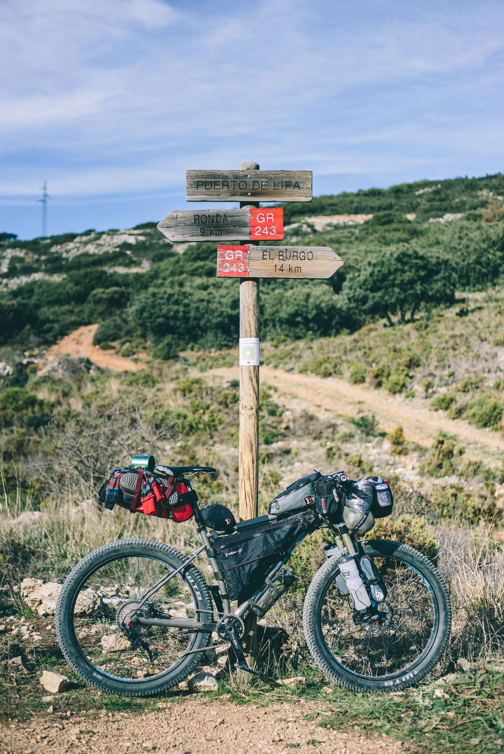
The GR249 is a 644km loop around the province of Malaga. The Altravesur uses about 40 miles of the GR249 to connect Ronda with Ardales. Find the official website here.
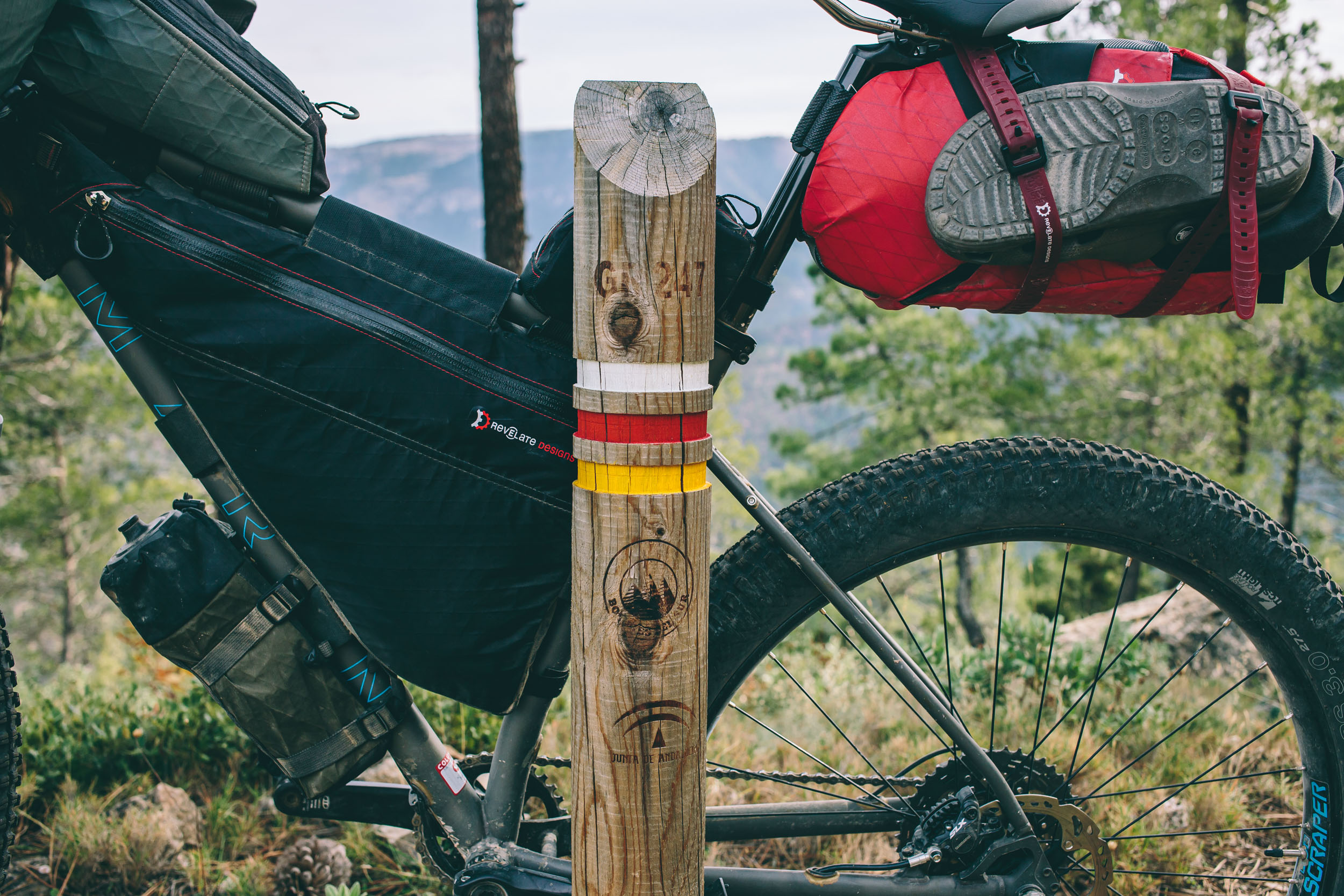
The GR247
The GR247 is a fantastic 5 day route in its own right. The 190 mile (309 KM) loop through Andalusia’s Sierras De Cazorla, Segura y Las Villas Natural Park offers a nice mix of fantastically rugged riding, Spanish small town amenities, and rural Andalusian culture… all within what are arguably the most beautiful mountains south of Madrid. The Altravesur follows the western portion of the GR247 loop.
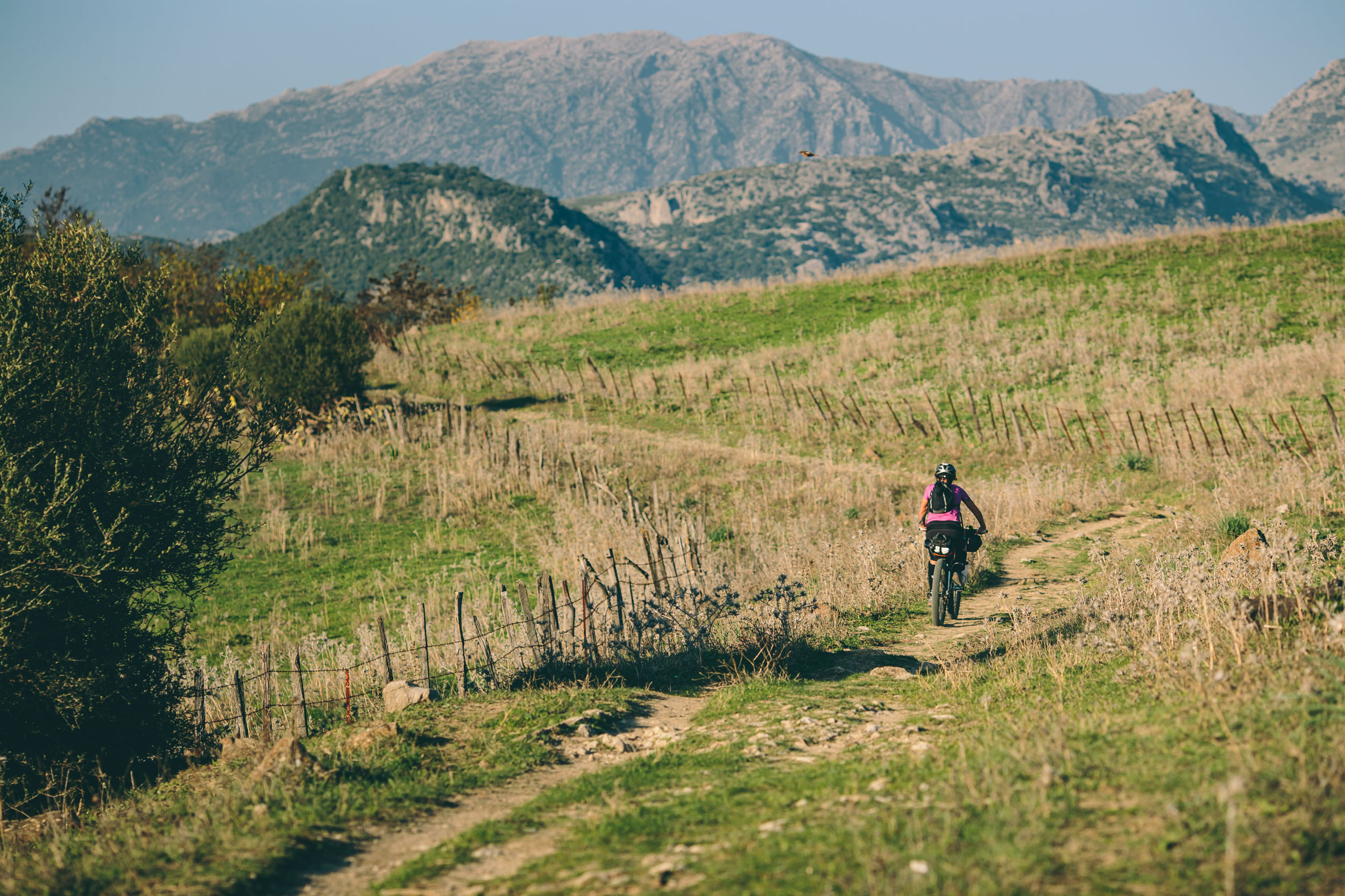
The TransNevada
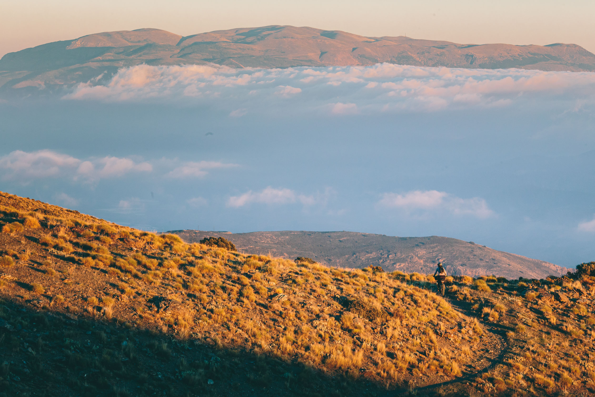
Chunky rock descents, 4,500′ heart-valve tearing climbs, and almost impassable hike-a-bikes make up a route that is as punishing as it is beautiful. The TransNevada climbs to heights of over 7,500ft (2,300m) where snow lingers on the higher peaks through May. It’s a must for any self-loathing bikepacker’s bucket list. The Altravesur follows the southern half of the TransNevada loop, then crosses the range to rejoin the GR7.
The GR66
The GR66, also known as Castilian-Manchego Path is a trail crossing 600km over Castilla-La Mancha from north to south, through Guadalajara, Cuenca and Albacete, to connect Aragon in the north with Andalusia and Murcia in the south. Overall, this trail can be pretty rough and tumble, but it has some nice gems of singletrack and amazing scenery scattered throughout.
Via Verde de la Sierra Alcaraz
From the city of Albacete the Sierra de Alcaraz Greenway (74 km) crosses the plains of the province of Albacete and drops down into the meadows of the rivers Jardín and Cubillo before reaching the city of Alcaraz in the foothills of the Sierra de Alcaraz mountains. There are plans to extend it as far as the border with the province of Jaén (106 km).
Related content:
- Trip Reports: 1. The Hard Way / 2. Rhythm / 3. Thought Vacuum / 4. Unexpected
- The GR247: Route Details
- The bikes used on this trip: Marin Pine Mountain 2 / Jamis Dragonslayer


Terms of Use: As with each bikepacking route guide published on BIKEPACKING.com, should you choose to cycle this route, do so at your own risk. Prior to setting out check current local weather, conditions, and land/road closures. While riding, obey all public and private land use restrictions and rules, carry proper safety and navigational equipment, and of course, follow the #leavenotrace guidelines. The information found herein is simply a planning resource to be used as a point of inspiration in conjunction with your own due-diligence. In spite of the fact that this route, associated GPS track (GPX and maps), and all route guidelines were prepared under diligent research by the specified contributor and/or contributors, the accuracy of such and judgement of the author is not guaranteed. BIKEPACKING.com LLC, its partners, associates, and contributors are in no way liable for personal injury, damage to personal property, or any other such situation that might happen to individual riders cycling or following this route.
Please keep the conversation civil, constructive, and inclusive, or your comment will be removed.