


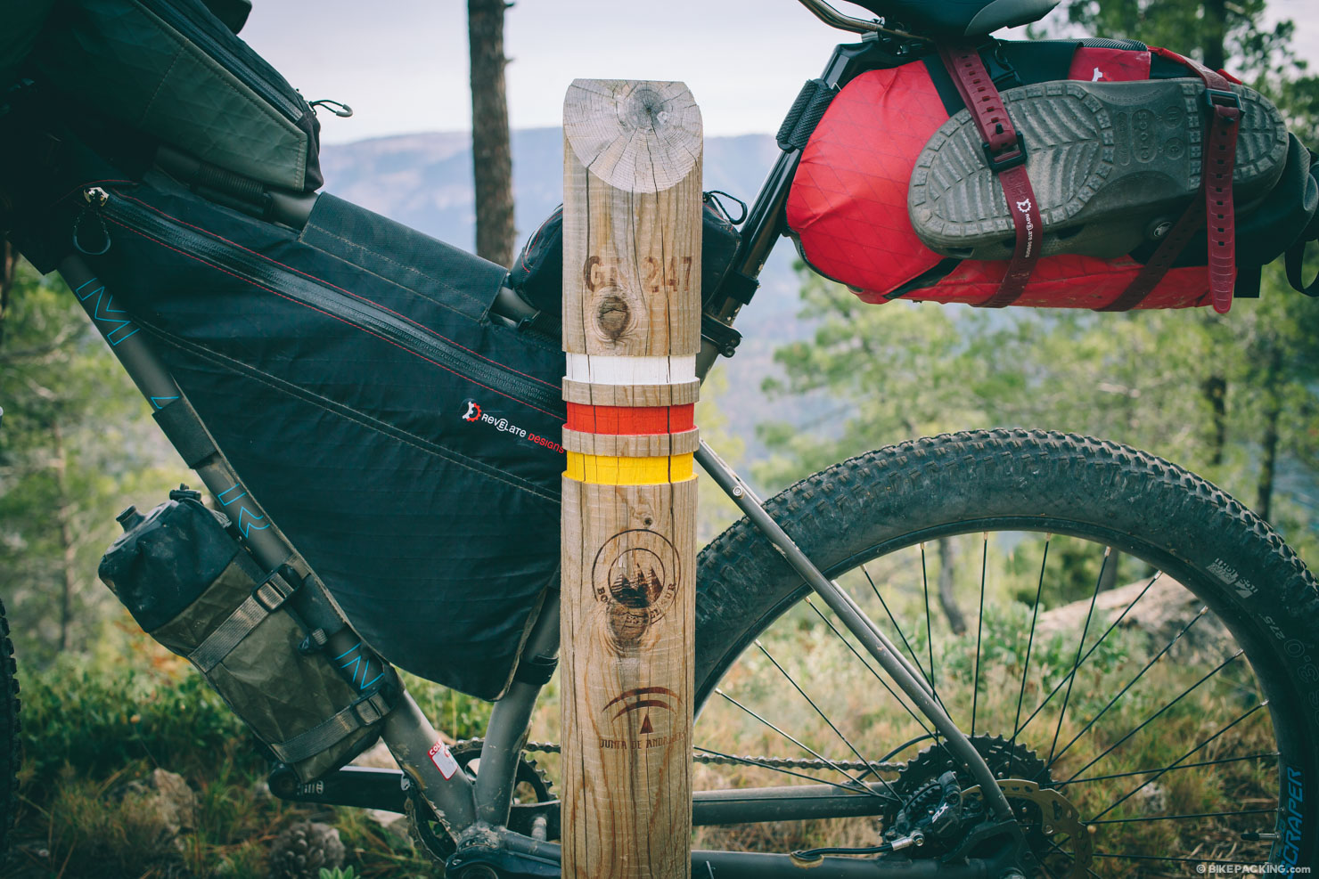
The GR247, Spain
Distance
205 Mi.
(330 KM)Days
5-6
% Unpaved
96%
% Singletrack
10%
% Rideable (time)
96%
Total Ascent
31,765'
(9,682 M)High Point
5,800'
(1,768 M)Difficulty (1-10)
7?
- 10Climbing Scale Very Strenuous155 FT/MI (29 M/KM)
- -Technical Difficulty
- -Physical Demand
- -Resupply & Logistics
Contributed By

Logan Watts
Pedaling Nowhere
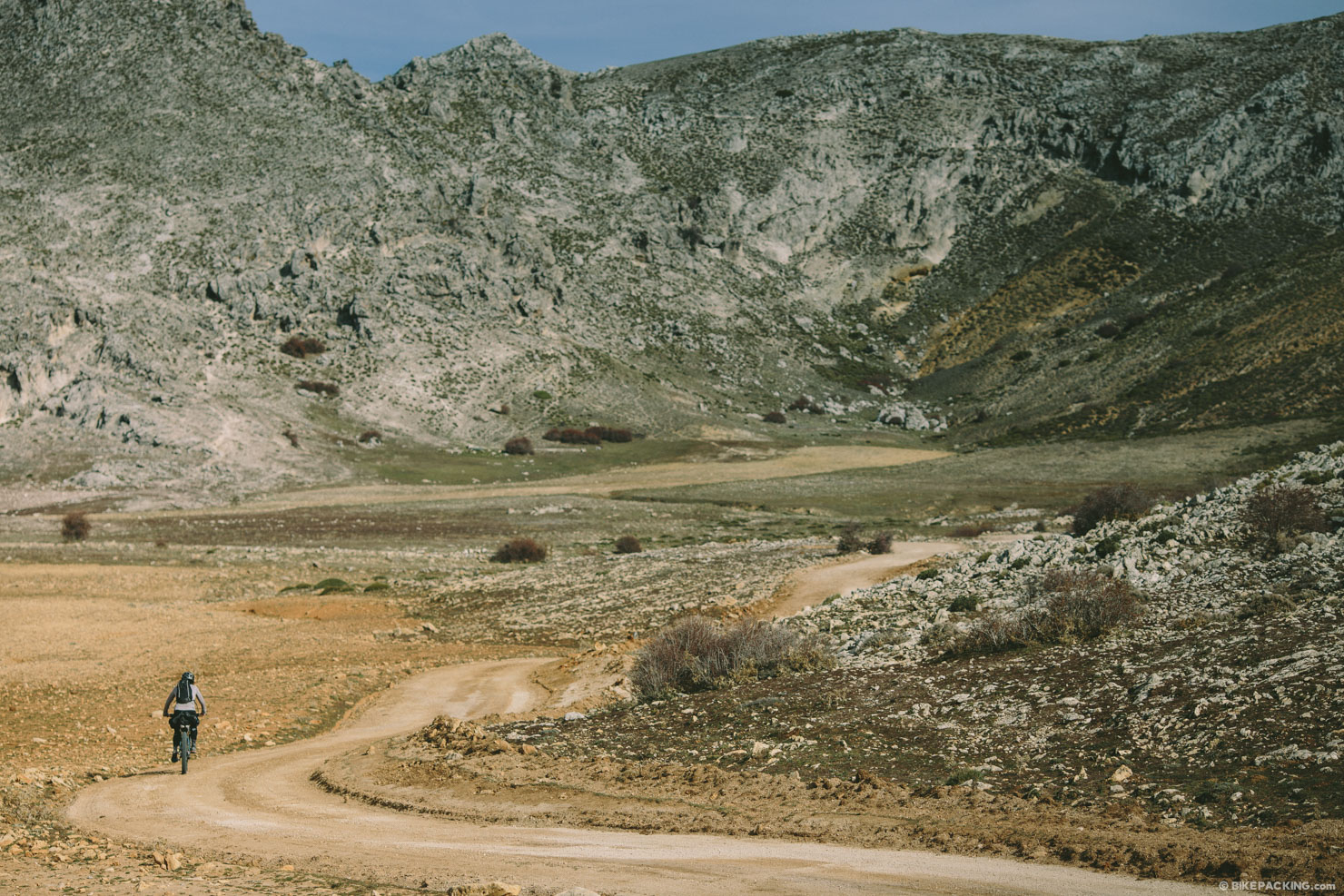
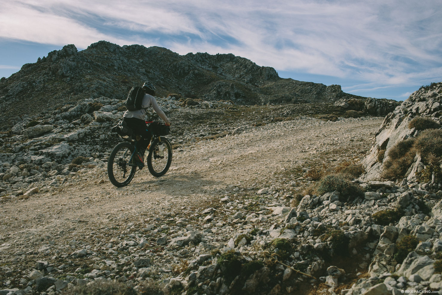
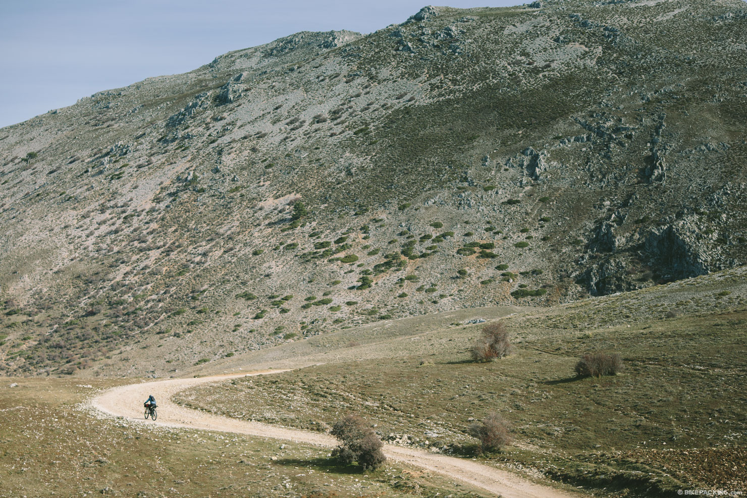
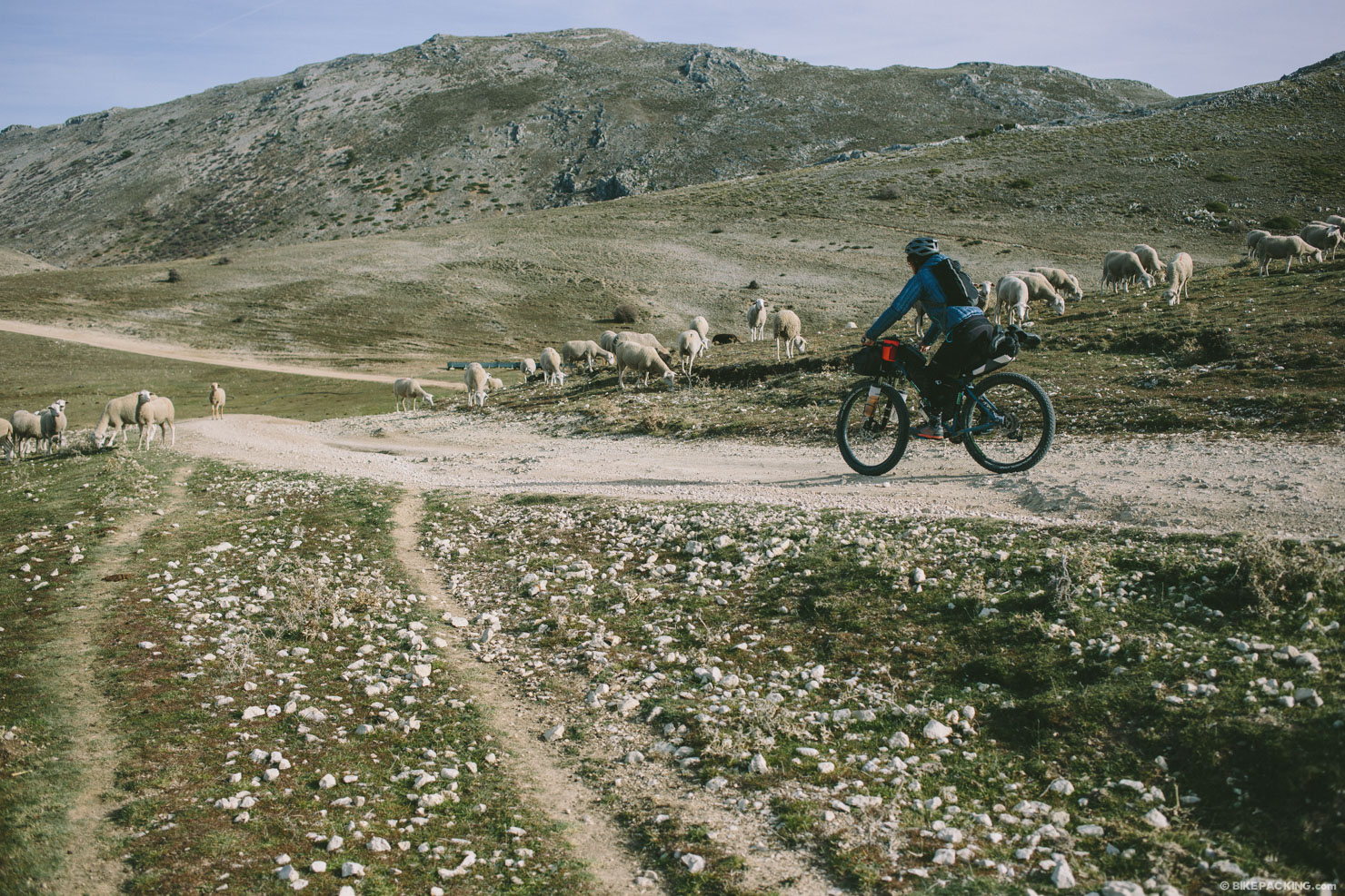
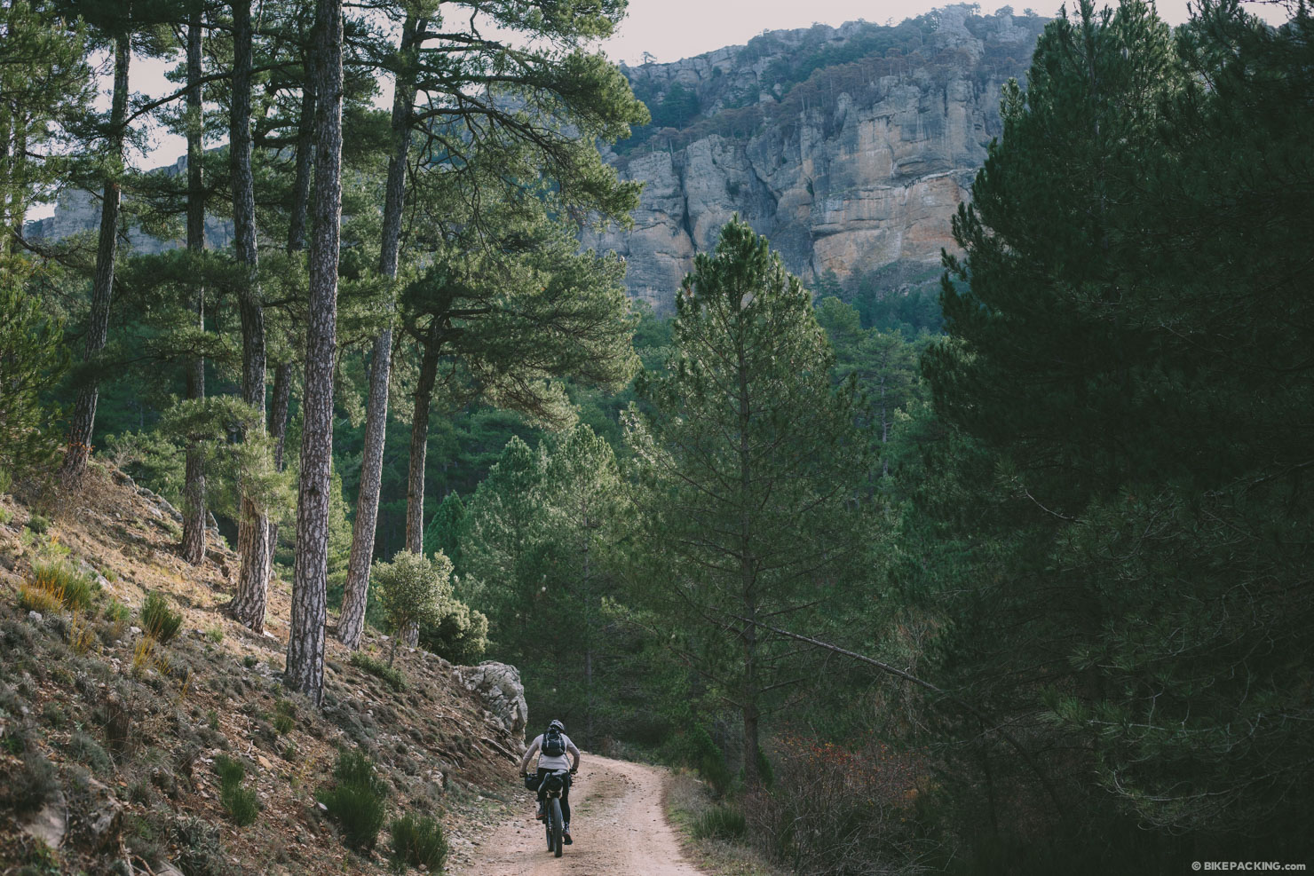
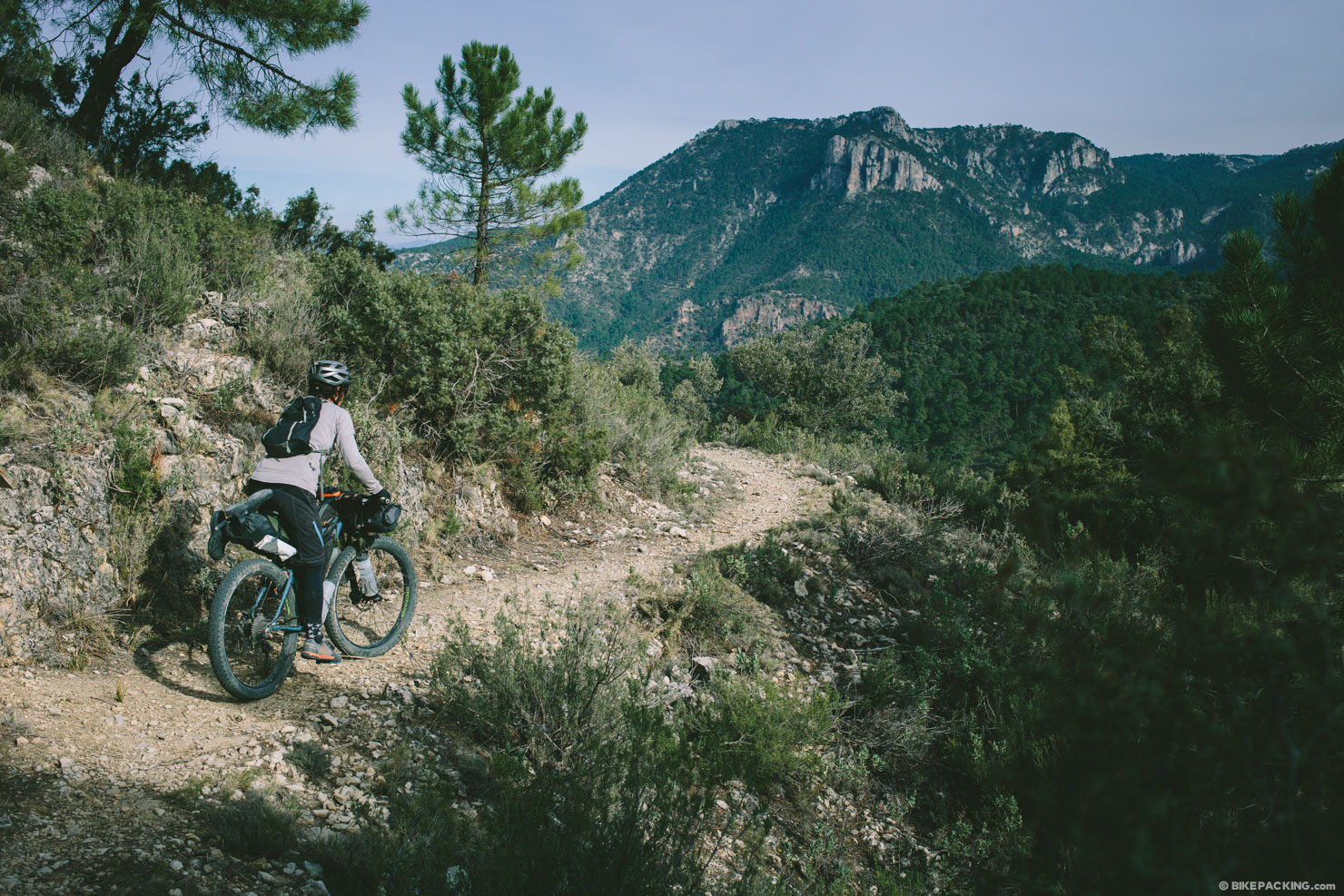
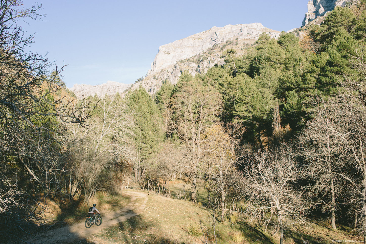
The GR247 is a designated GR footpath (Gran Recorrido) created for hikers and cyclists alike. The 190 mile (309 KM) loop weaves in and through the dramatic limestone crags of the Sierras De Cazorla, Segura y Las Villas, a natural park in the eastern part of the province of Jaén, established in 1986. With an area of almost 2,100 sq KM (810 sq miles), it is the largest protected area in Spain and the second largest in Europe.
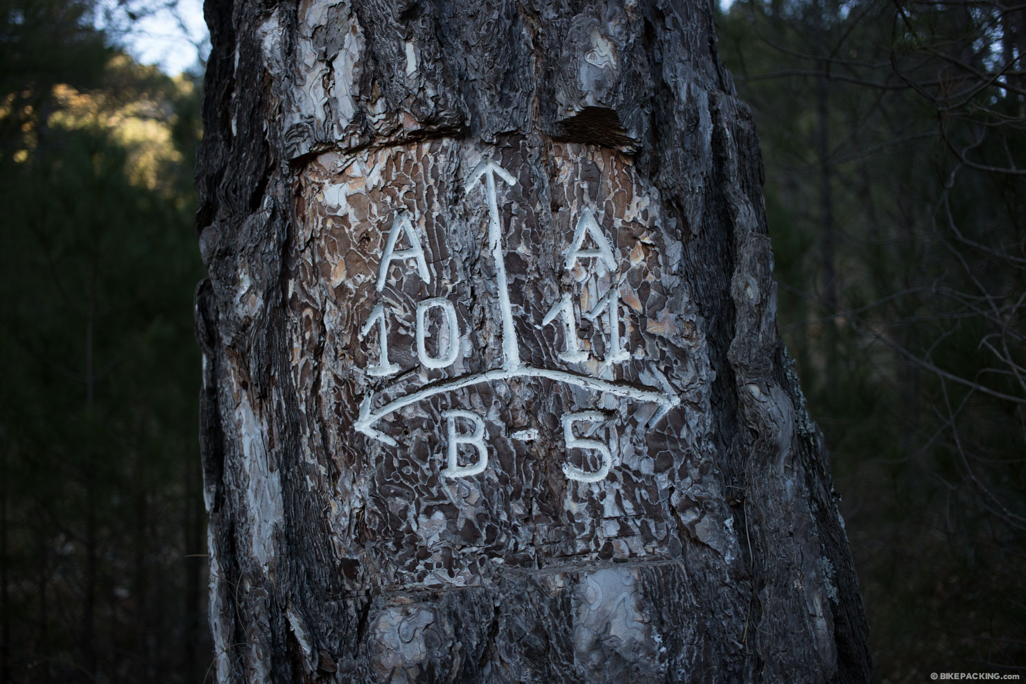
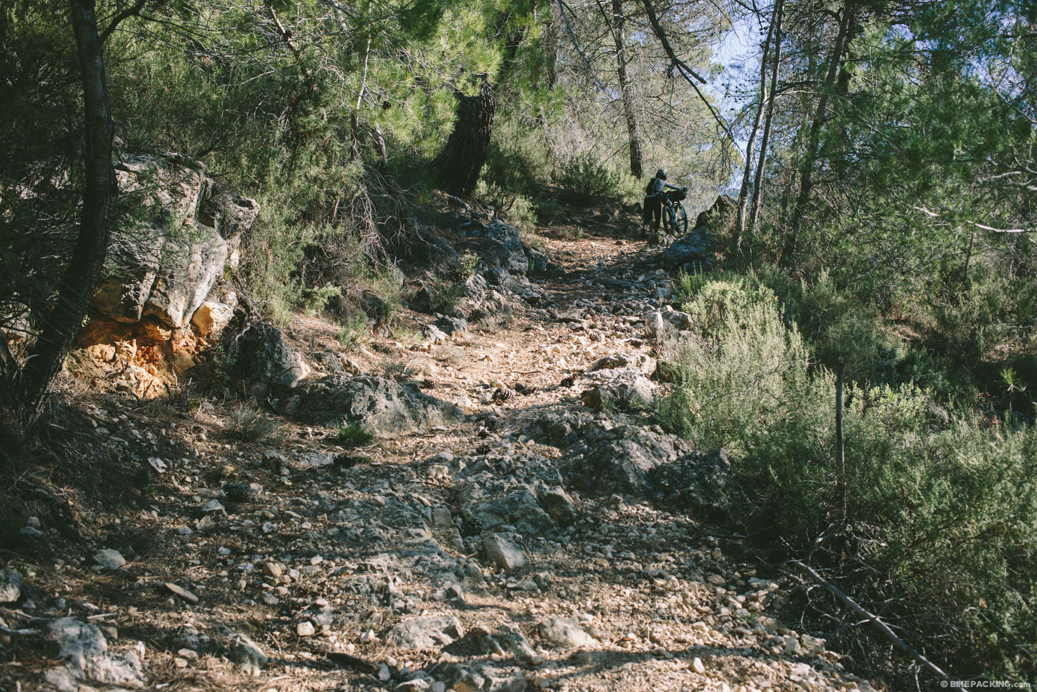
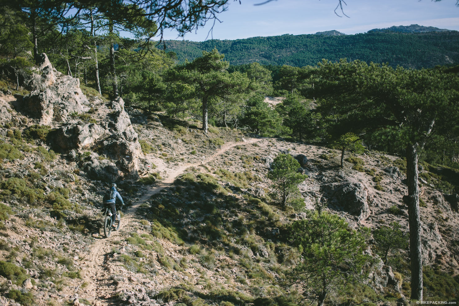
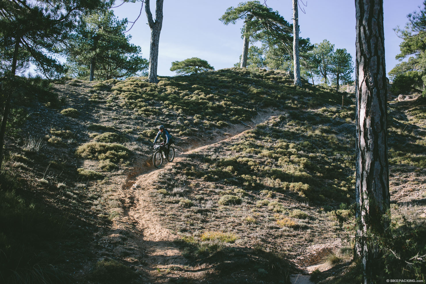
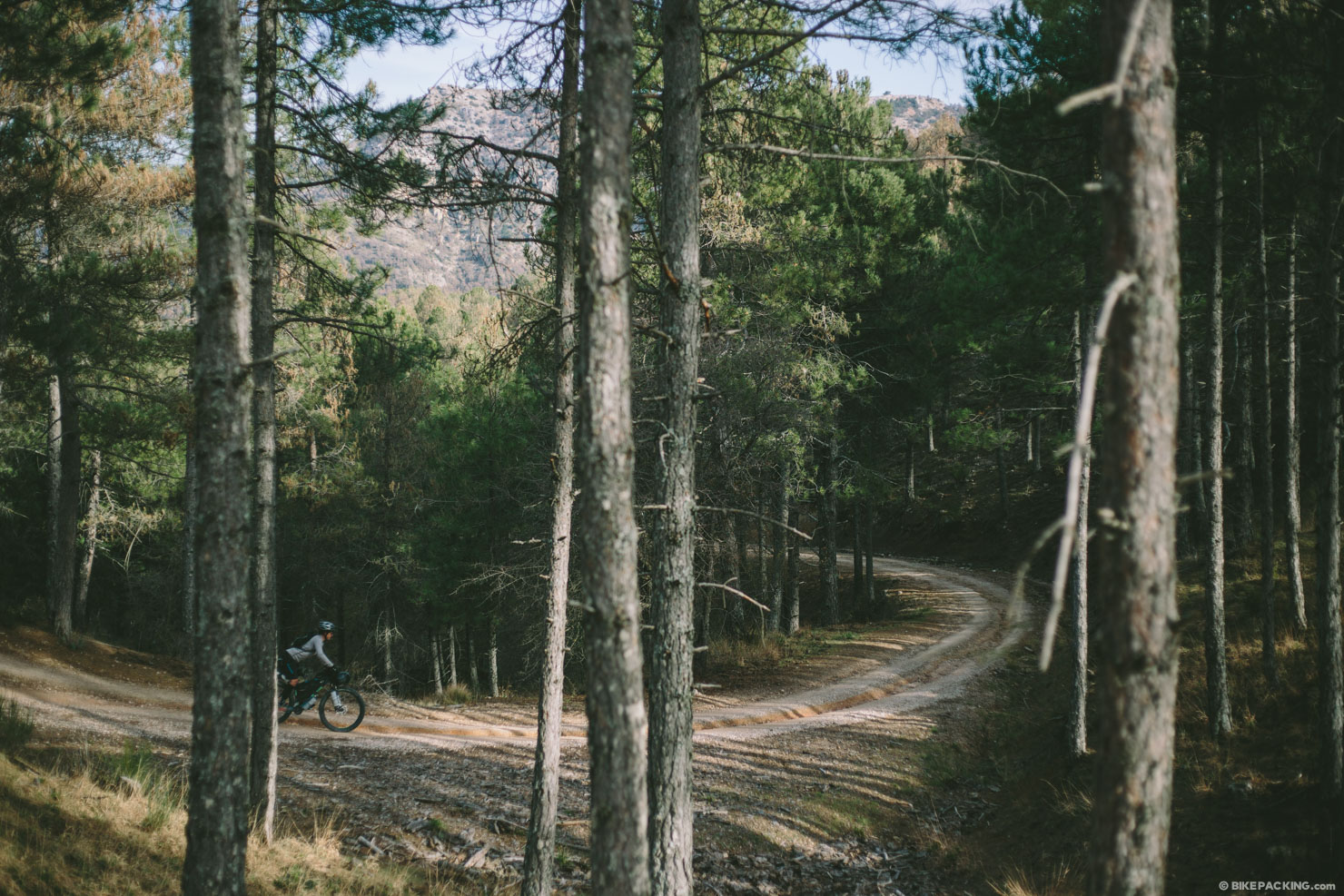
The full track, which typically takes around a week to cycle, is broken in to 21 ‘etapas’, or stages. Each is about 10-20 KM. While the main loop is mostly doubletrack, in all degrees of size and ruggedness, there are stretches of singletrack peppered throughout. In addition, there are a few alternate etapas, some of which are completely singletrack. The loop is organized in a counter-clockwise fashion, starting from the town of Siles in the north, but the route can be ridden in any direction and the variants may be worked in for additional miles and exploration.
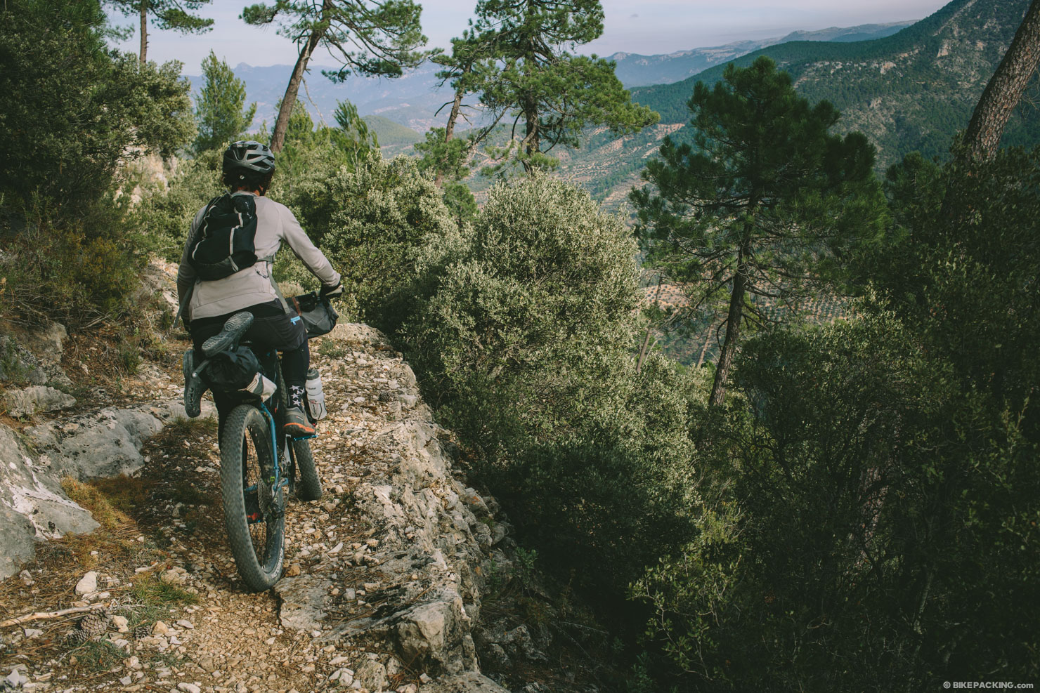
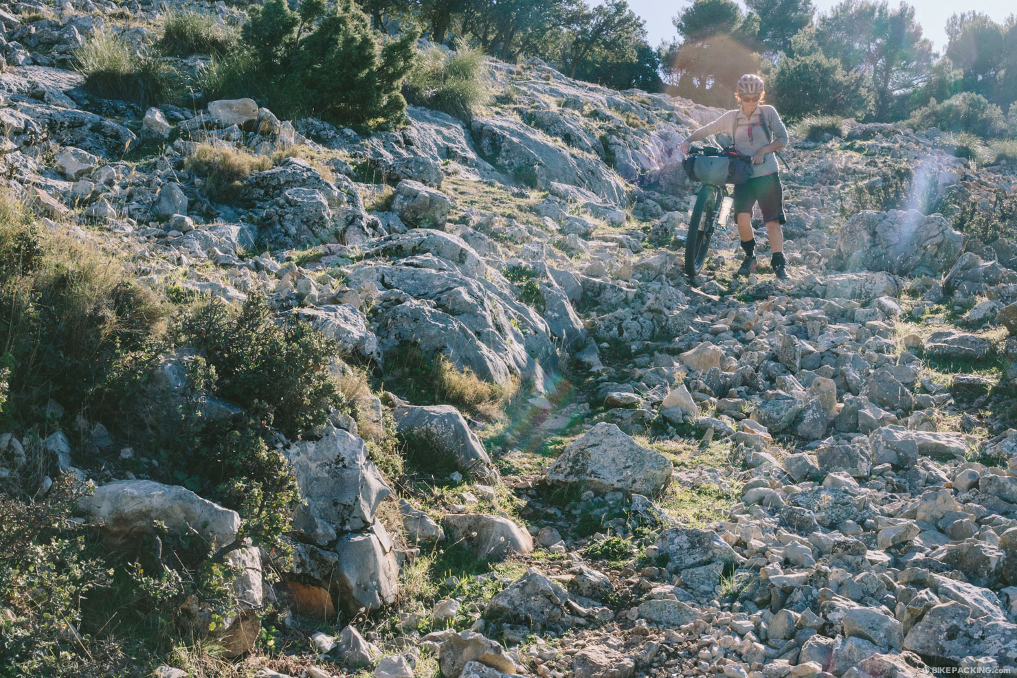
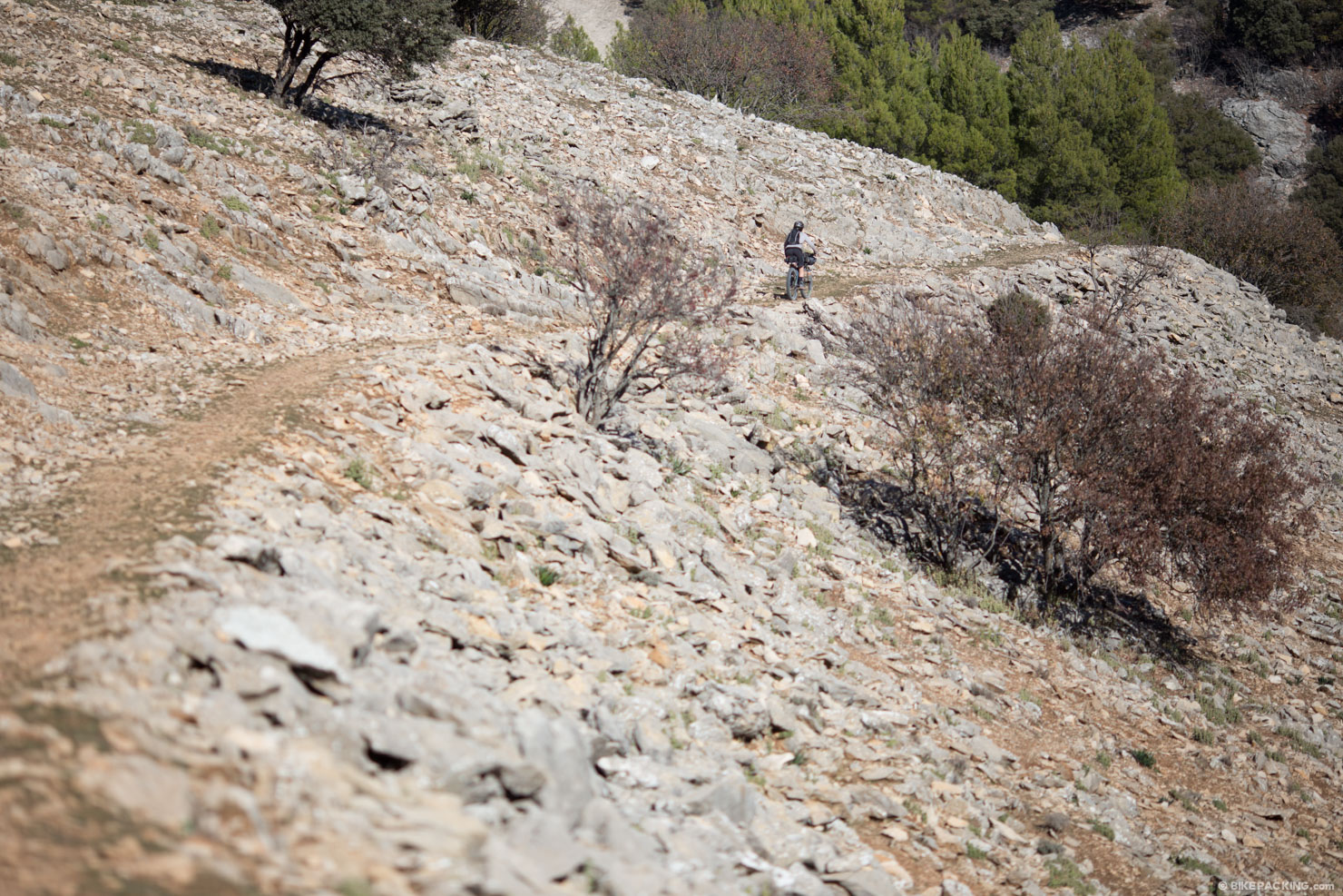
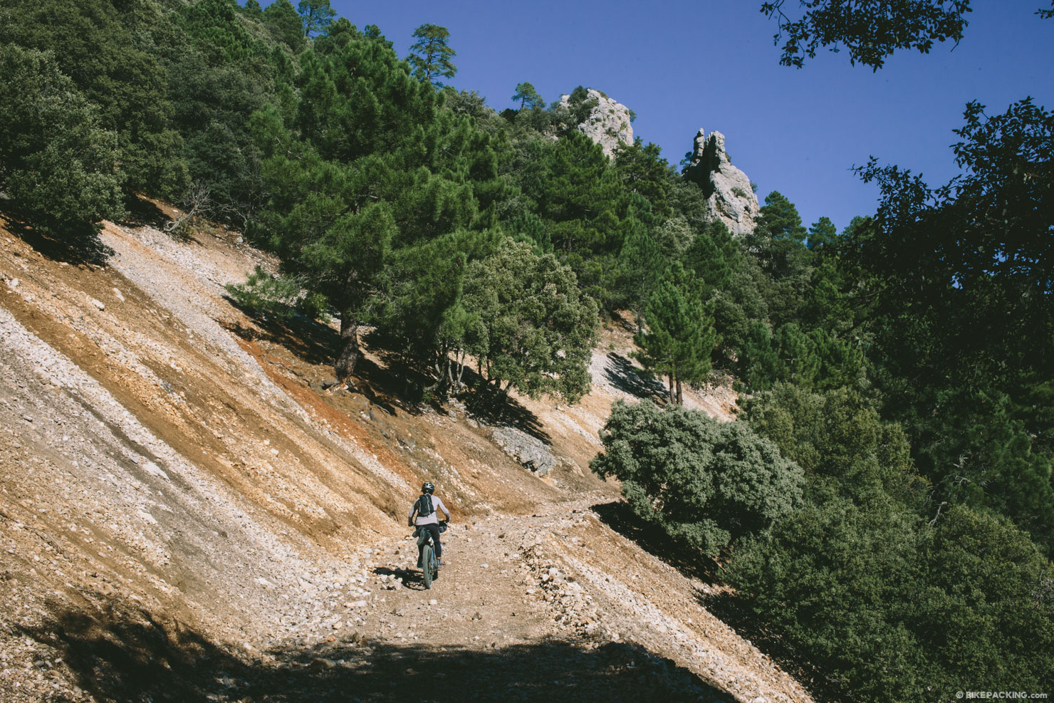
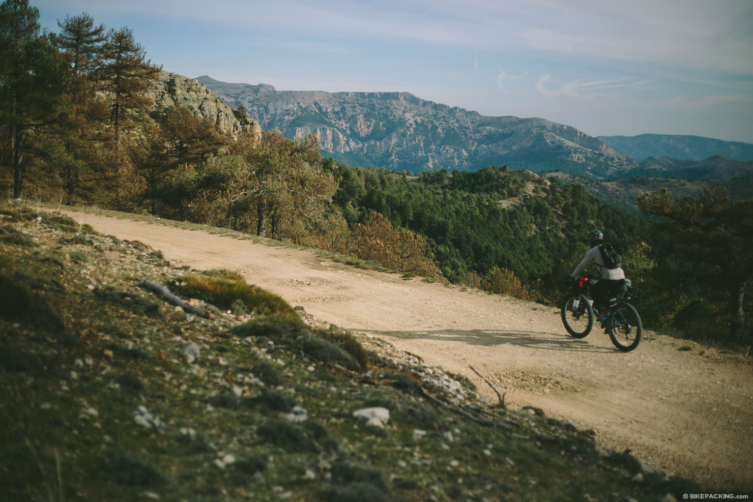
The terrain is at times steep and there are indeed places where pedaling a loaded bike will prove next to impossible, but most of the route is completely rideable, and quite a bit of it is decidedly superb. If you’ve been itching to visit southern Spain, and tempted by a first bikepack abroad, this could be a fine place to start. The scenery is great, the people are friendly, the food is good (and fairly affordable), and getting there isn’t too difficult. Read the details and how-to below…


Submit Route Alert
As the leading creator and publisher of bikepacking routes, BIKEPACKING.com endeavors to maintain, improve, and advocate for our growing network of bikepacking routes all over the world. As such, our editorial team, route creators, and Route Stewards serve as mediators for route improvements and opportunities for connectivity, conservation, and community growth around these routes. To facilitate these efforts, we rely on our Bikepacking Collective and the greater bikepacking community to call attention to critical issues and opportunities that are discovered while riding these routes. If you have a vital issue or opportunity regarding this route that pertains to one of the subjects below, please let us know:
Highlights
Must Know
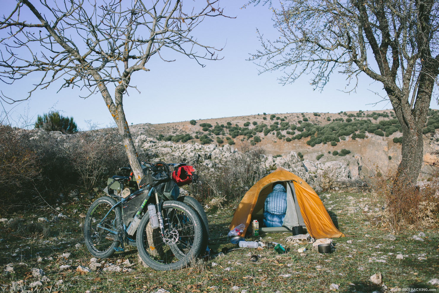
Camping
Food/H2O
Trail Notes
Resources
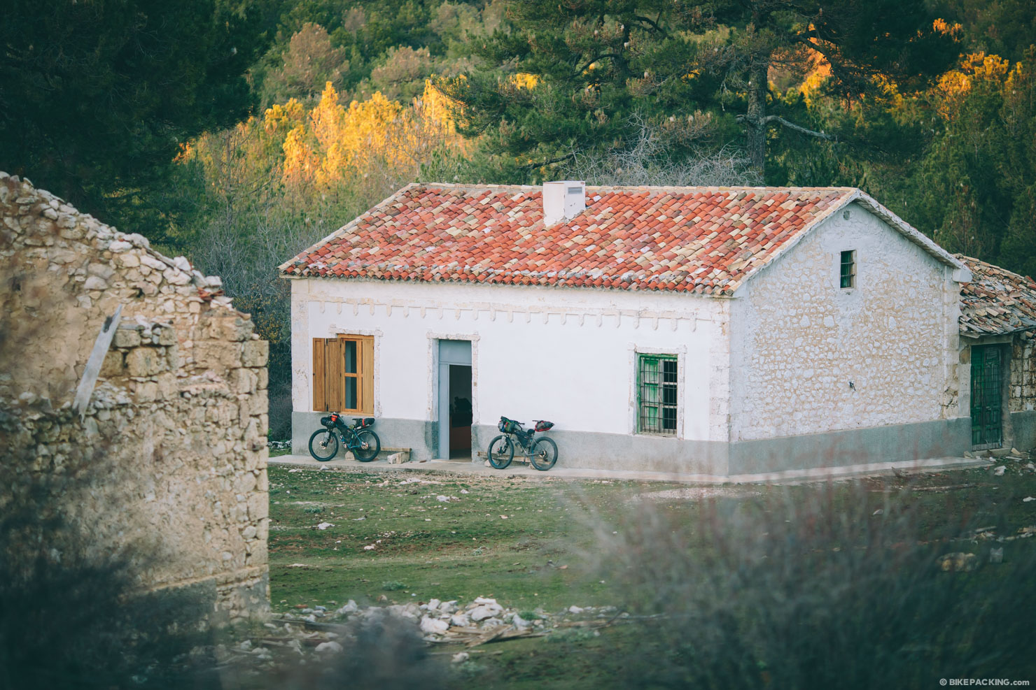
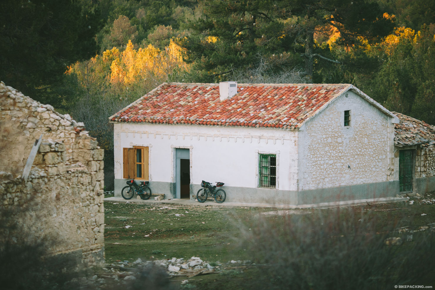
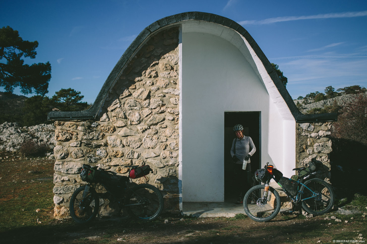
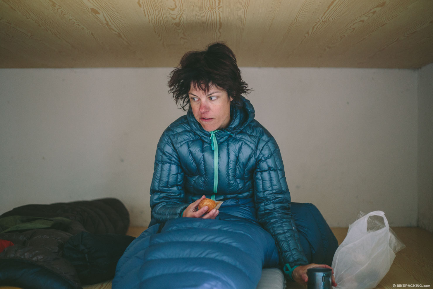
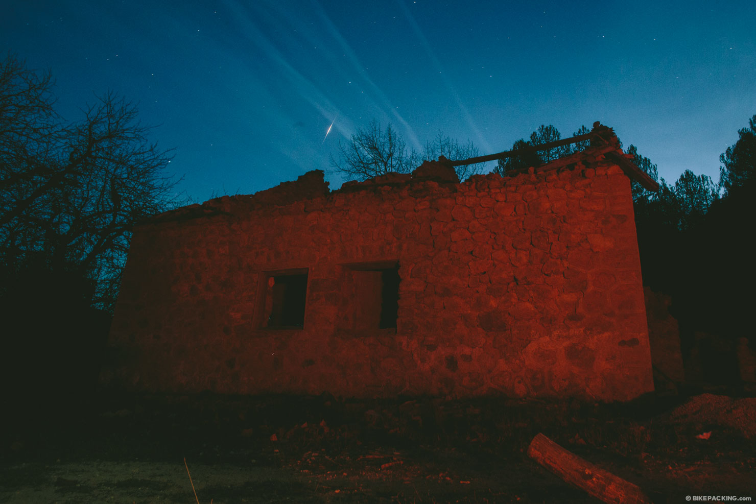
- 11 comfortable and convenient refugios (hiker huts) along the route make for a nice warm and dry place to sleep.
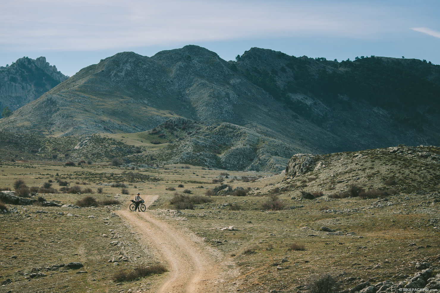
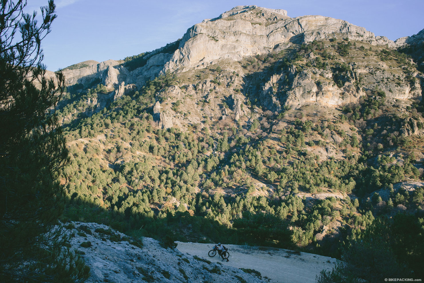
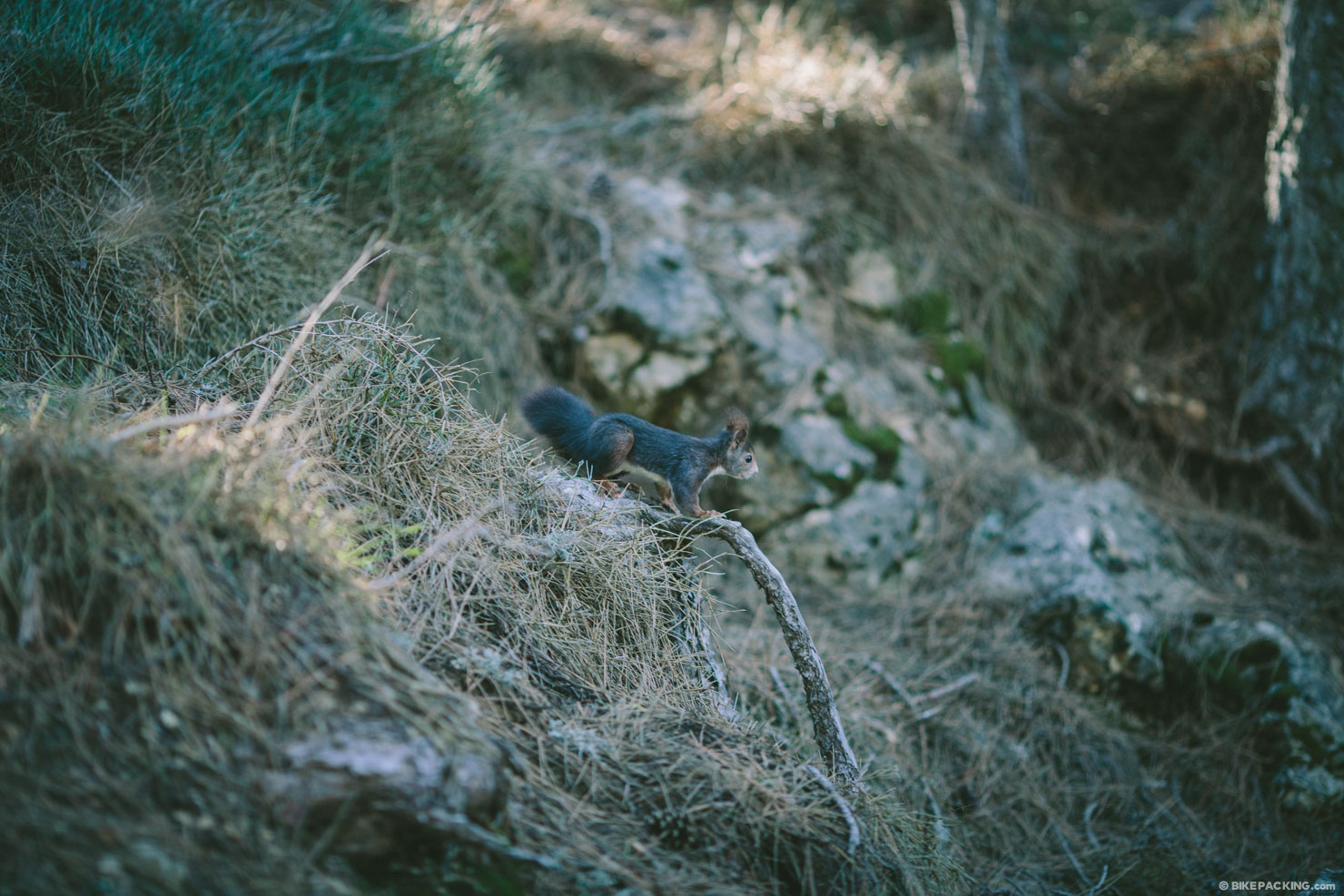
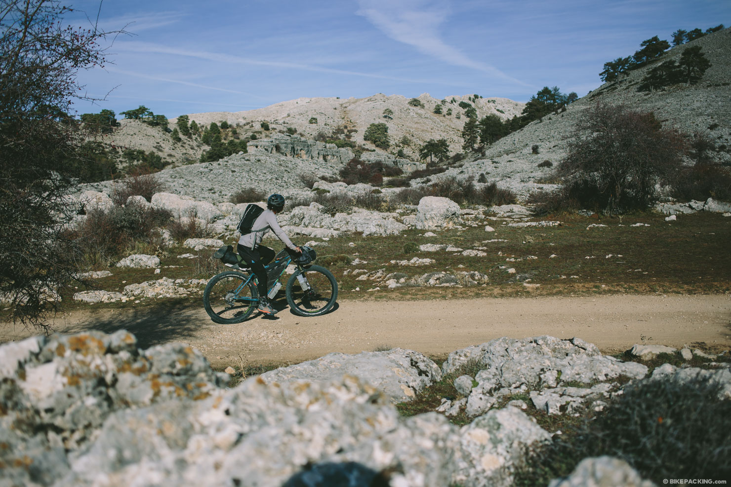
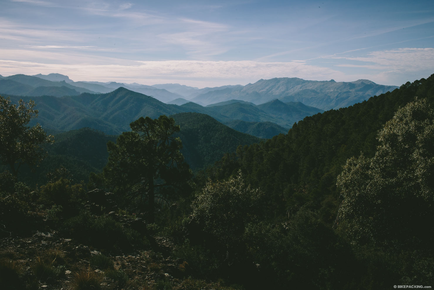
- The majestic vistas in the Sierra De Cazorla are unmatched in southern Spain.
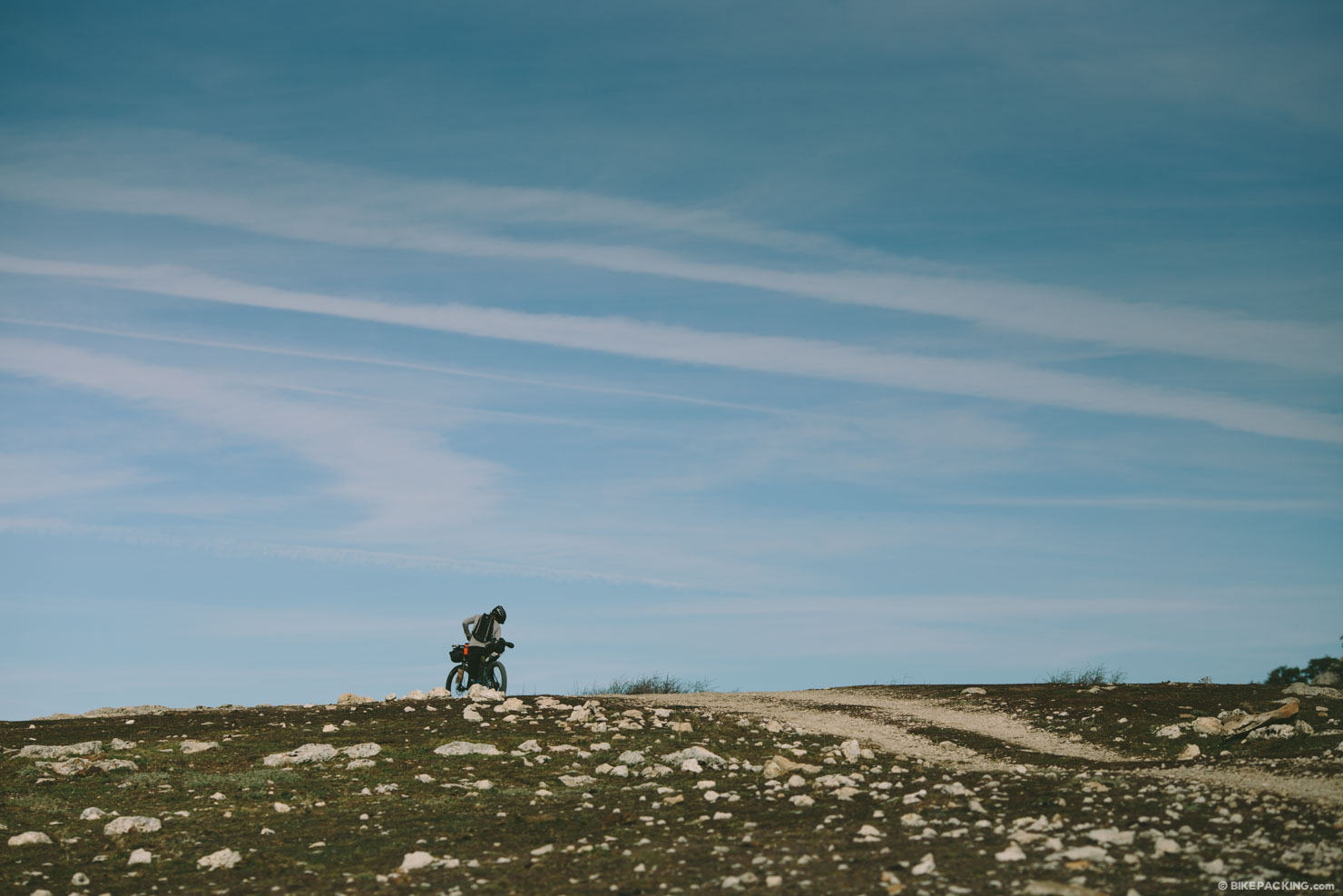
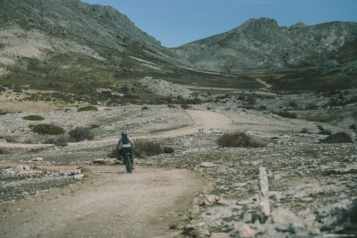
- The moonscape quality of the plateau of Los Campos de Hernán Perea (stages 16 and 17).
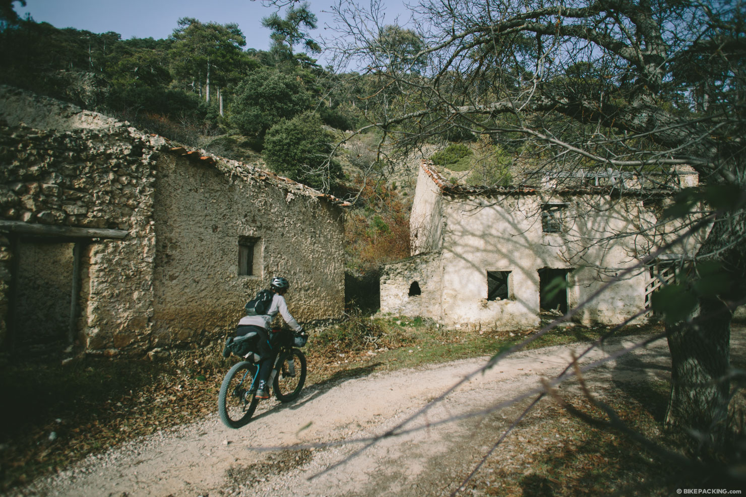
- Passing through quaint and historic small towns, such as Hornos de Segurra and Ponton Bajo.
- Afternoon mid-ride cervesas and tapas.
Weather and When to go
- Like most good mountainous places in the Northern hemisphere, the best times to ride the GR247 are in the spring and fall. The Sierra de Cazorla is one of the most rainy places in southern Spain (which doesn’t mean much), and the wettest time of year is late November through February. However, we rode it in December and saw nary a drop.
- If it does rain, or if there has been a lot of snow in early spring, be prepared to stop. The mud here is particularly cement-like and can be a recipe for broken derailleurs (See Lee Vilinsky’s comment).
Getting There
- Although there are many ways of approaching and starting the GR247, the easiest is via Siles, the northern most town on route.
- If flying in and out of Madrid, look for a Media Distancia train; at the time of this writing, the closest station accessible to the route is Jodar-Ubeda — about 50k from Cazorla or 40k from Quesada. Another to consider is Albacete, which much further. There are also busses that run from Albacete to Alcaraz, and possibly further. Or, you can use the Ruta de Don Quixote, GR266 and some gravel roads to get there…
Other need to know info
- Fire is prohibited in most of the park, however, we found several small designated fire pits at various refugios.
- Bring layers. It can get particularly cold at night in the shoulder seasons.
- It’s not a bad idea to know, or be with someone who knows, a little Spanish; southern Spain is fairly removed, and there’s not much English spoken there.
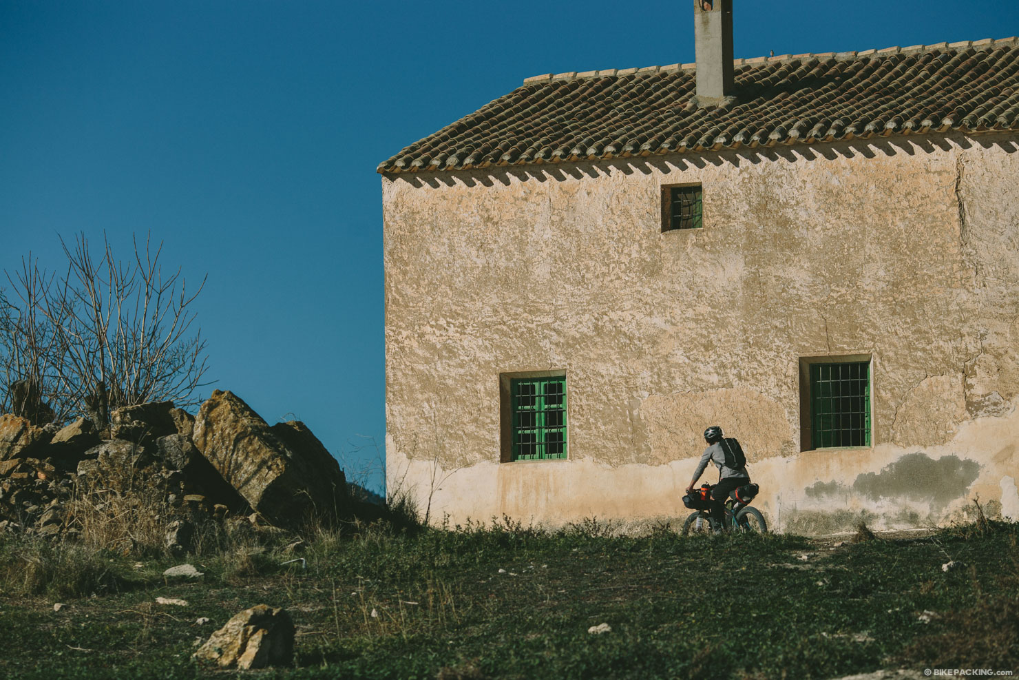
- There are 11 hiker huts that were built in a couple of different construction styles. Several are quite interesting with a rounded roof and block walls. Their interiors are quite nice, yet simple. Each have sleeping platforms and foldable tables, and a couple have well water pumps. Bring a sleeping pad unless you are OK with sleeping on a hard wooden platform.
- Most small towns have hostal lodging which is usually coupled with a bar. Most range from 30-50 Euros per night for a double and include breakfast; singles are cheaper, respectively.
- There are also a couple of campgrounds on route.
- Wild camping is prohibited in some areas in the park, however there are a few spots which camping is allowed.
- Although there are a couple stretches where water is tricky, most towns have a fountain (fuente) in their center (centro).
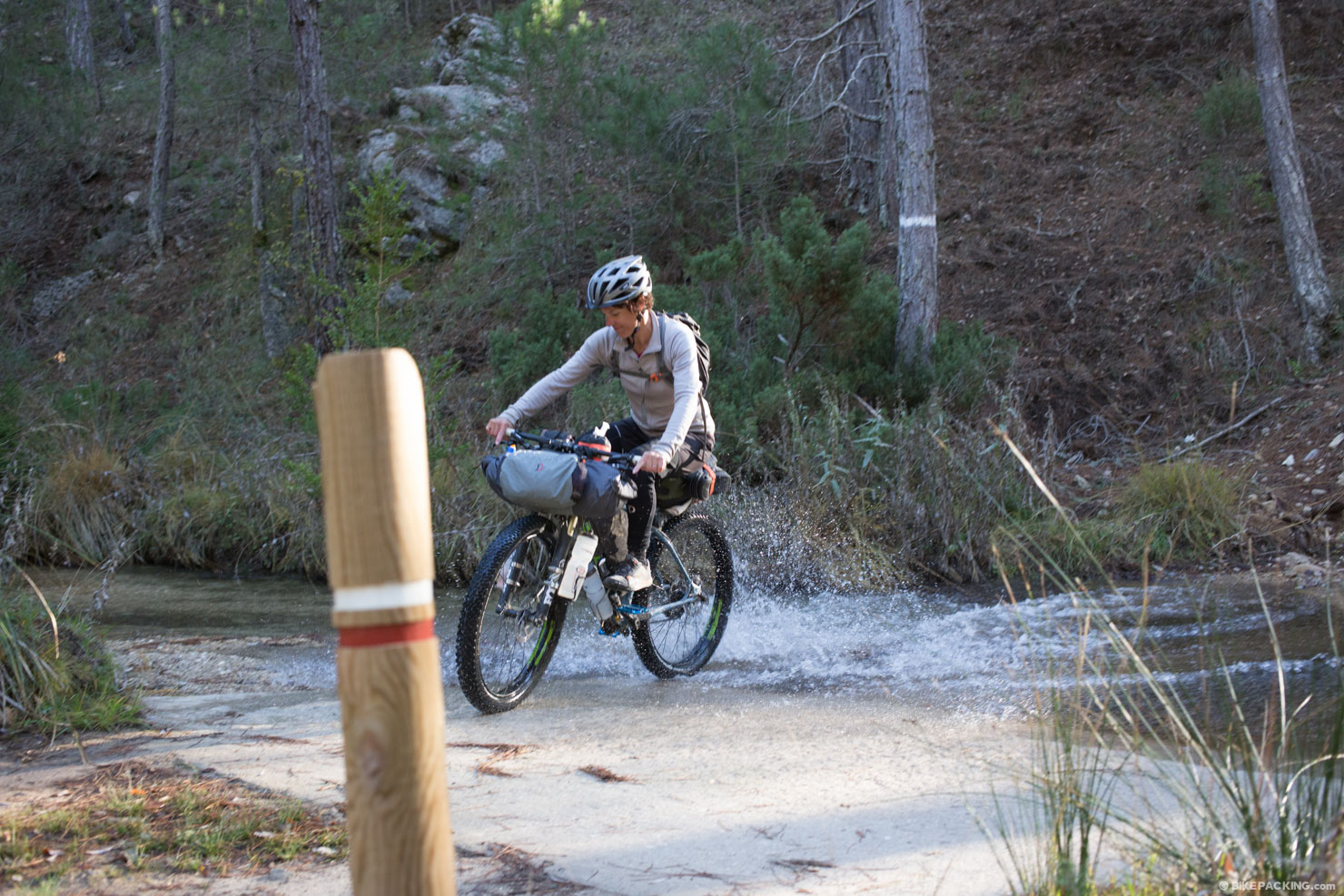
- Several streams are scattered throughout the park; bring a filter.
- A couple of the refugios have a well and pump.
- Every town has a small market to purchase food supplies. If there is no market, look for a local carniceria; sometimes they are one in the same.
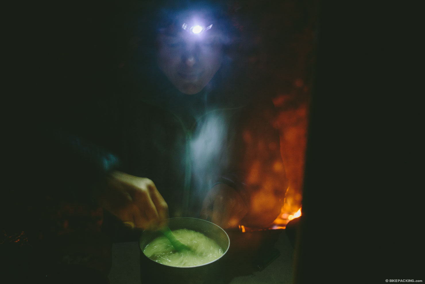
- We found it quite challenging to find alcohol to work in our spirit burner stove. Most shops have an alcohol that is 97%, but it didn’t work well with the burner we were using at the time. Ultimately, we cooked on fire (when available), or ate cold sandwiches, cheeses, and sausage.
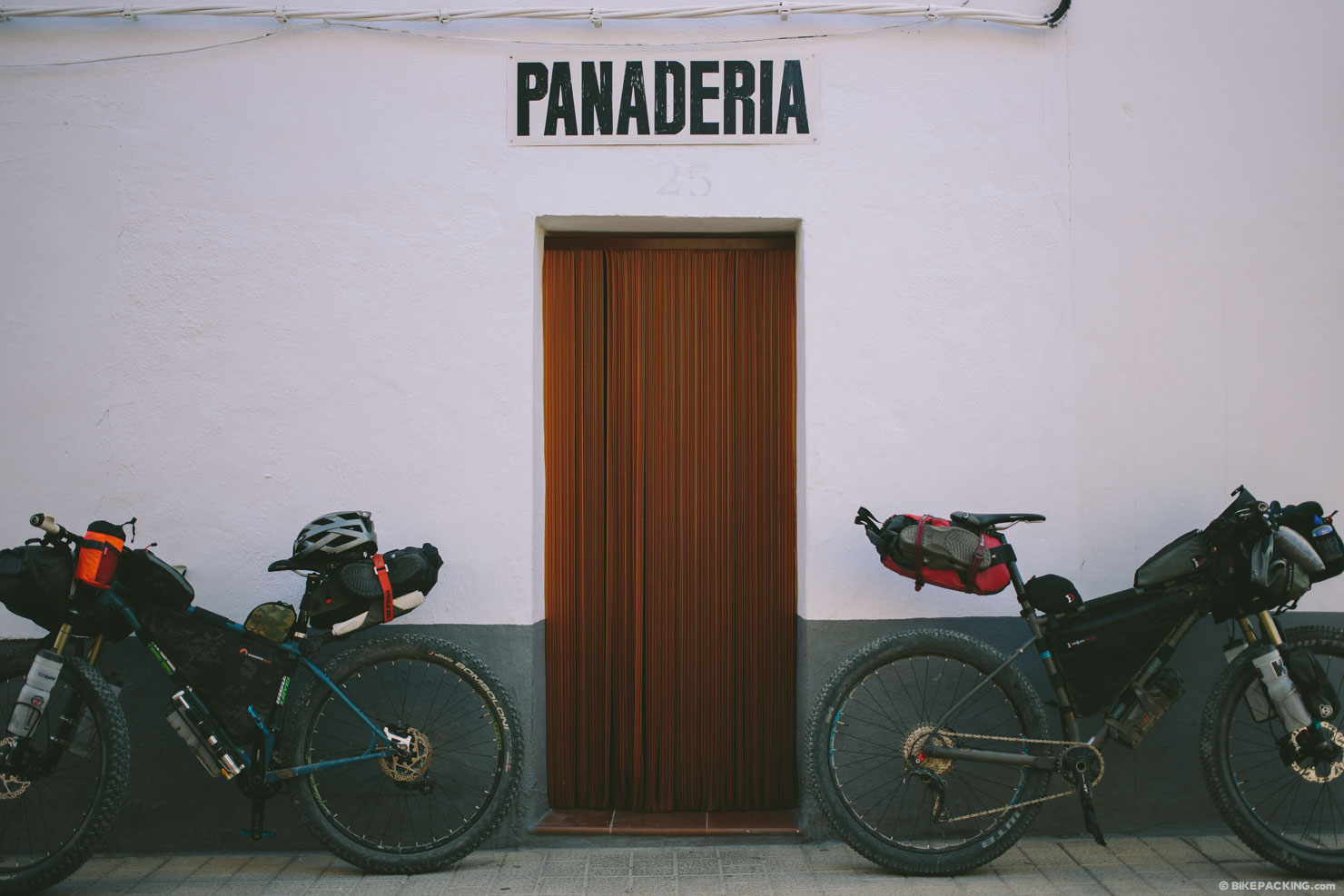
- If you are on an ultra-tight budget, watch for panaderias, or bakeries. They usually offer the best bang for the buck.
Here is a short description of each of the trail stages taken from the Bosques Del Sure site. To find the full description, click here.
STAGE 01: Peña del Olivar Recreational Area – Segura de la Sierra
This stage of the Southern Woodlands Trail boasts a wide variety of landscapes within the low mountain areas of the natural park, where pine groves alternate with areas of Mediterranean understorey, olive groves and small villages and hamlets. In the area surrounding Siles you will find a beautiful mosaic of pine and olive groves and you will enter one of the finest Aleppo pine woods within the natural park.
STAGE 02: Segura de la Sierra – El Campillo Forest House Refuge
This short stage, which, for the most part, travels along traditional paths, and transitions from the low mountain landscapes bearing a strong human influence and the lush expanses of forest in the heights. There are three types of pine grove that displace one another as the track rises in altitude: Aleppo pine groves, black pine groves and maritime pine groves.
STAGE 03: El Campillo Forest House Refuge – Hornos de Segura
This stage joins the beautiful maritime pine groves of the slopes of El Yelmo with the historical and artistic site of Hornos de Segura, enabling us to enjoy a wonderful variety of environments, from natural woodlands to areas bearing a stronger human influence. This stage commences along the beautiful asphalted forest track that climbs to the summit of El Yelmo, subsequently abandoning the slopes of this peak.
STAGE 04: Hornos de Segura – Los Parrales Recreational Area
This stage traverses the low mountains of the interior of the natural park, amidst a landscape that is a mosaic of pine groves, small groves of holm oaks, villages and hillsides blanketed with olive woods. The route commences in the beautiful village of Hornos de Segura, declared a historical and artistic site, which affords a view of a large portion of the important territory taken in by the Southern Woodlands.
STAGE 05: Los Parrales Recreational Area – Hoya de los Trevejiles Forest House
Throughout this stage there are spectacular views of El Tranco reservoir and panoramas of the Sierras of Segura and Las Villas. The route commences close to Los Parrales Recreational Area, an excellent spot in which to contemplate the magnificent landscape formed by the reservoir and the surrounding mountains.
STAGE 06: Hoya de los Trevejiles Forest House – Fuente de los Cerezos Controlled Camping Area
This stage passes through the natural park’s lowlands, at an altitude of 550-950 metres. The terrain is steep, with extensive views along the entire itinerary. Attention should be drawn to the wealth of plant and animal life in the area. We set out from the Hoya de los Trevejiles Forest House, which, given its location, state of conservation and architecture, is one of the finest forest houses in the natural park.
STAGE 07: Fuente de los Cerezos Controlled Camping Area – La Parra Forest House Refuge
This stage traverses the isolated, rugged terrain and steep slopes of the Sierra de Las Villas. Featuring large geomorphological formations featuring the profiles that are so characteristic of this area, such as Piedra del Enjambre, Lancha del Tosero and Caballo de La Albarda, this geological landscape, known as a nappe structure, is one of the most striking areas in the natural park.
STAGE 08: La Parra Forest House Refuge – Majalserbal Refuge
The landscape we traverse in this stage features geological formations of tightly folded nappes, with limestone formations and dolomites that make very rugged, steep slopes. This area deserves its renown as one of the most spectacular stretches of the trail due to the sheer rock faces, rocky outcrops and level platforms that mark the way all along our trail.
STAGE 09: Majalserbal Refuge- La Zarza Forest House Refuge
This stage traverses a sparsely populated area that allows you to appreciate a landscape full of contrasts. From the precipitous headwaters of the Aguascebas de Gil Cobo we climb to the magnificent Lancha de la Escalera, where there are views of large section of the Sierra de las Villas, the Loma de Úbeda, the Sierra de Cazorla and even Sierra Nevada.
STAGE 10: La Zarza Forest House Refuge- La Iruela
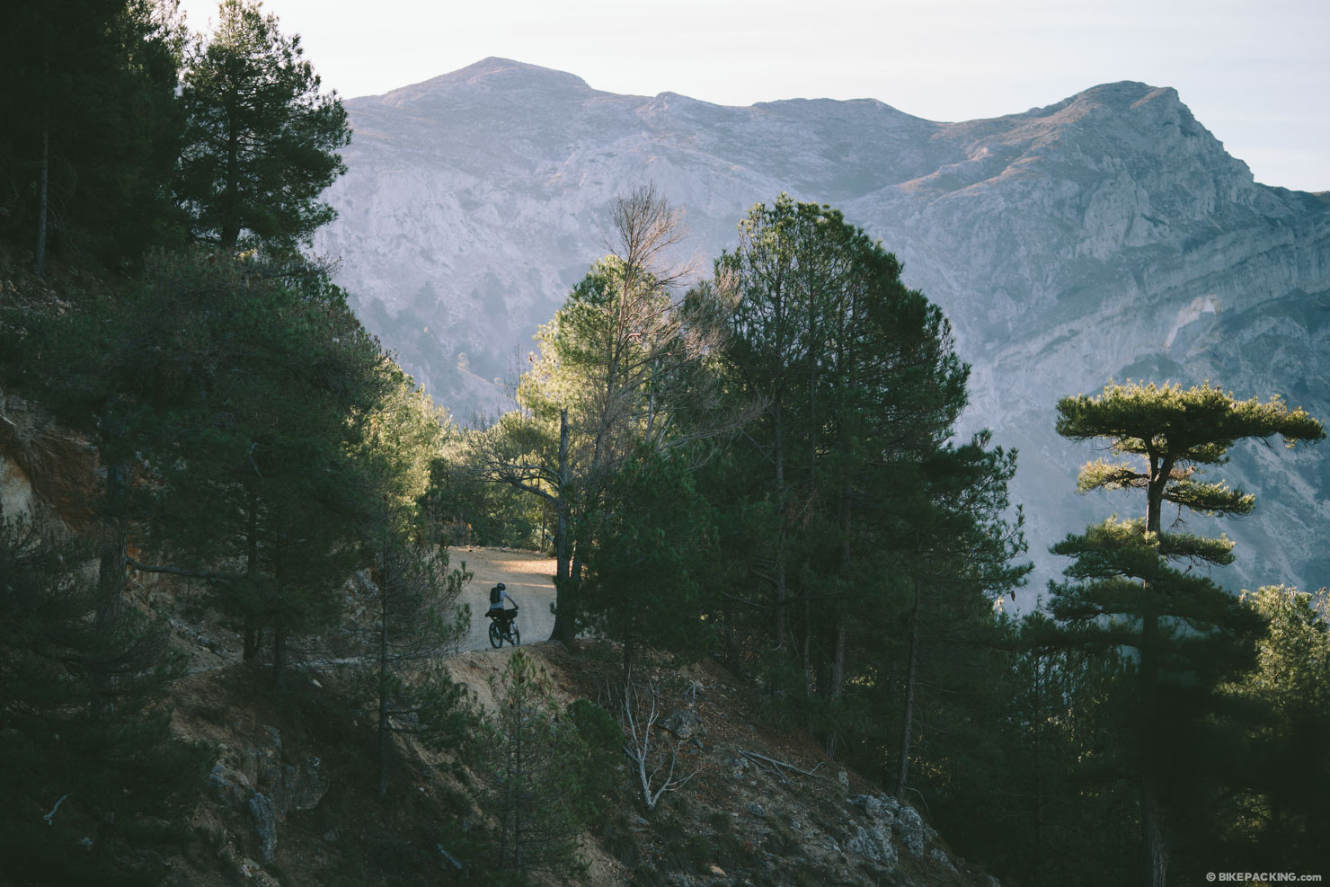
This long stage traverses the natural park’s westernmost mountains. The itinerary passes through two very different landscapes. The eastern stretch takes in the valley formed by the headwaters of the River Guadalquivir, which flows northward. It is a very important section from an ecological point of view, flanked by massive, densely forested limestone mountains that soar to a height of over 1500 meters.
STAGE 11: Cazorla – Collado Zamora Forest House Refuge
This itinerary traverses the westernmost area of the park. It commences in the town of Cazorla, a historical and artistic site, and goes uphill, rapidly gaining height until it opens on to expansive views over the surrounding countryside and the towns of Iznatoraf, Chilluévar, Villacarrillo, Santo Tomé, Peal de Becerro and Quesada. The GR 247.3 alternative route starts near the beginning of this stage.
STAGE 12: Collado Zamora Refuge – Belerda
A long, 18-kilometre stage which descends for more than 700 metres to traverse the southernmost area of the natural park. During the first part you will experience sweeping views over the countryside in the provinces of Jaén and Granada, as well as the Sierra Mágina and Sierra Nevada mountain ranges. The landscape is rugged and steep, with large rocky outcrops and limestone cliffs.
STAGE 13: Belerda – El Hornico Nature Study Centre
This stage of the Southern Woodlans Trail traverses the southernmost area of the natural park: Sierra del Pozo, to be precise. The trail winds through the mountains that served as a refuge for the last guerrillas in Jaén who fought against the dictatorship during the Spanish civil war in 1936-39.
STAGE 14: El Hornico Nature Study Centre – Fuente Acero Forest House Refuge
Most of this long stage traverses Sierra del Pozo, with the river Guadalentín running through its centre. It links El Hornico and Fuente Acero, with a gradient of just over 500 metres in between. This provides an opportunity to discover very diverse landscapes, from the temperate pasture lands near the stage’s starting point to the purely mountain environments at the end.
STAGE 15: Fuente Acero Forest House Refuge – Rambla Seca Refuge
This short stage in the southwestern part of the park traverses areas of great ecological importance. In fact, the Navahondona-Guadahornillos Reserve is always on the left side of the trail. It runs through the park at a considerable altitude of 1500-1600 meters, along a forest track over nearly flat terrain.
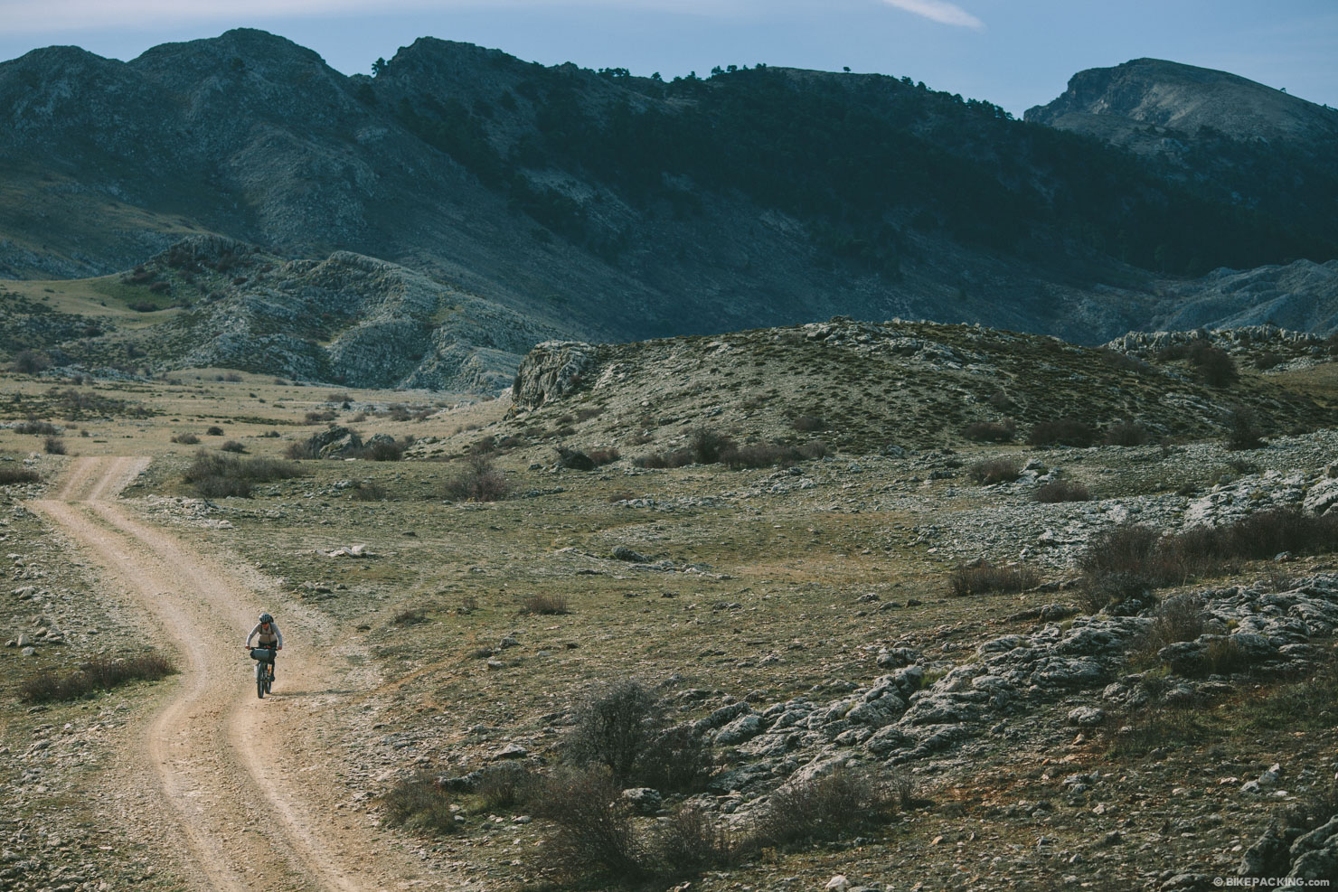
STAGE 16: Rambla Seca Refuge – Campo del Espino Refuge
This stage of the Southern Woodlands Trail traverses one of the most grandiose and authentic locations in the natural park: the plateau known as Los Campos de Hernán Perea. The terrain is almost level, yet full of dolines and chasms that are so characteristic of a karstic landscape, and flanked by the park’s highest peaks, such as Empanadas, Puerto Lézar and El Banderillas.
STAGE 17: Campo del Espino Refuge – Pontones
This is one of the stages that traverses the breathtaking plateau of Los Campos de Hernán Perea, at an average altitude of 1600m. Historically, this vast territory was deforested to clear pastures for Segura sheep. The sweeping views are stunning, surrounded by tall mountains, such as Calar de las Palomas on the right and Pinar del Risco on the left. In winter, the area may be covered in snow.
STAGE 18: Pontones – La Toba
Beyond doubt this is one of the stages that boasts the greatest contrasts of the entire Southern Woodlands Trail. It is the third and last trail that traverses the stark livestock farmlands of the extensive municipal area of Santiago-Pontones and ends by plunging down to the Segura river valley, where there is plenty of water and the scenery is forest again.
STAGE 19: La Toba – Prado Maguillo (El Bodegón Forest House Refuge)
This stage is short but intensive owing to the number and variety of its attractions, which fully compensate hikers’ efforts. Traversing this route we enjoy broad views overlooking the highest peaks, immense forests of black pines and small hamlets with white houses, hidden in the mountains, that are the true pillars of traditional life in Andalusia’s alpine mountains and still inhabited, such as La Toba.
STAGE 20: Prado Maguillo (El Bodegón Forest House Refuge) – Era del Fustal Refuge
This stage traverses the northeastern area of the park and most of it runs through woodlands where the predominant black pines are of the sort that grow in the flattened limestone mountains, known as calares, that are so frequently found in the northern area of the natural park. The stage starts in Los Anchos, one of the most picturesque valleys in the park.
STAGE 21: Era del Fustal Refuge – Peña del Olivar Recreational Area
Along this stage we enter one of the most singular nature sanctuaries in southern Europe: Las Acebeas holly forest. Most of the route is along narrow traditional paths, most of which will captivate us with stunning panoramic views. The route passes by a curious well known as Pozo de la Nieve, once used to store snow for use in the summer.


Terms of Use: As with each bikepacking route guide published on BIKEPACKING.com, should you choose to cycle this route, do so at your own risk. Prior to setting out check current local weather, conditions, and land/road closures. While riding, obey all public and private land use restrictions and rules, carry proper safety and navigational equipment, and of course, follow the #leavenotrace guidelines. The information found herein is simply a planning resource to be used as a point of inspiration in conjunction with your own due-diligence. In spite of the fact that this route, associated GPS track (GPX and maps), and all route guidelines were prepared under diligent research by the specified contributor and/or contributors, the accuracy of such and judgement of the author is not guaranteed. BIKEPACKING.com LLC, its partners, associates, and contributors are in no way liable for personal injury, damage to personal property, or any other such situation that might happen to individual riders cycling or following this route.
Please keep the conversation civil, constructive, and inclusive, or your comment will be removed.