


Valles Caldera Supervolcano Explorer (V2), New Mexico
Distance
99 Mi.
(159 KM)Days
2-3
% Unpaved
85%
% Singletrack
3%
% Rideable (time)
97%
Total Ascent
10,700'
(3,261 M)High Point
10,325'
(3,147 M)Difficulty (1-10)
7 ?
- 7Climbing Scale Strenuous108 FT/MI (20 M/KM)
- -Technical Difficulty
- -Physical Demand
- -Resupply & Logistics
Contributed By

Cass Gilbert
While Out Riding
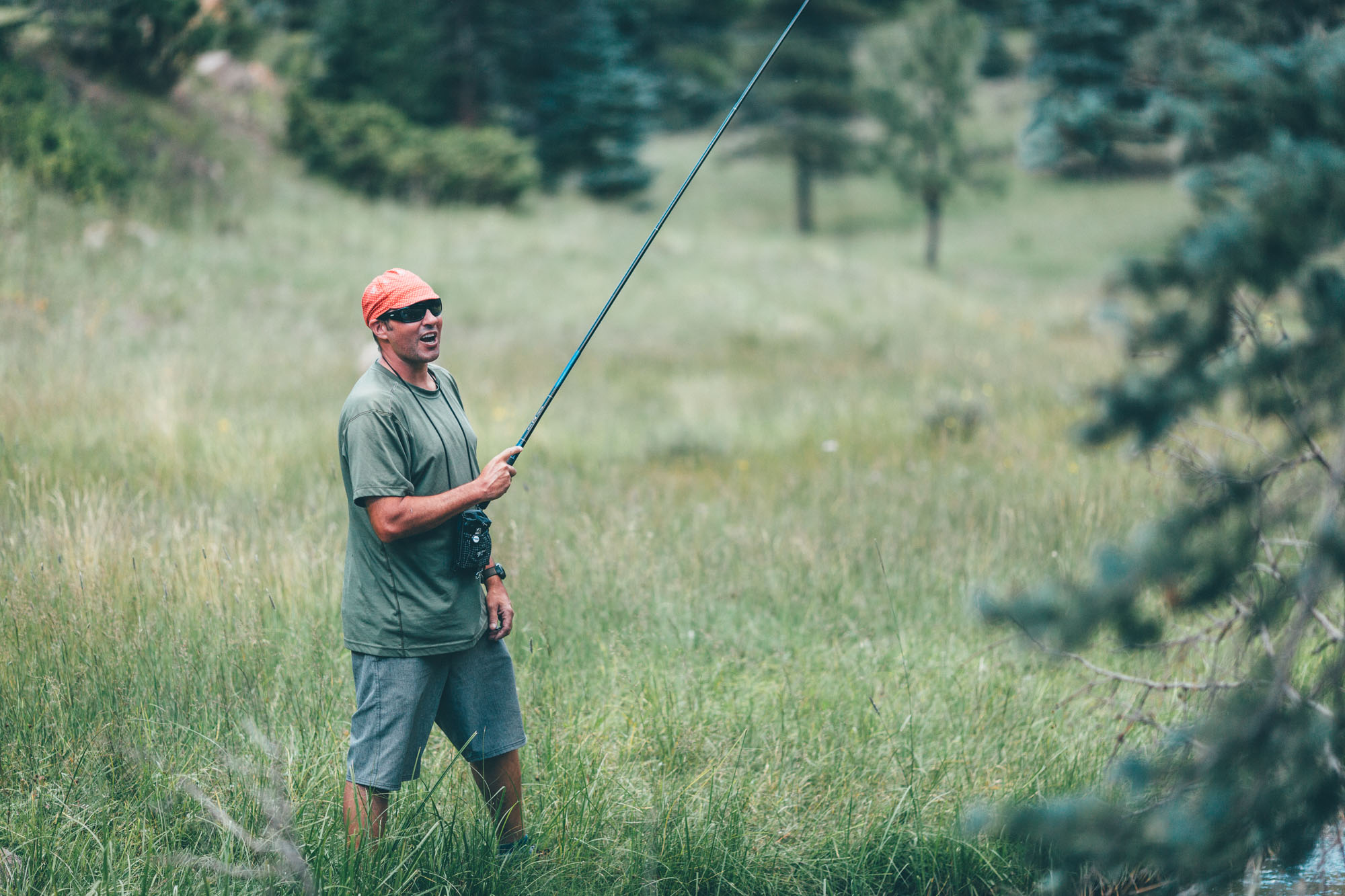
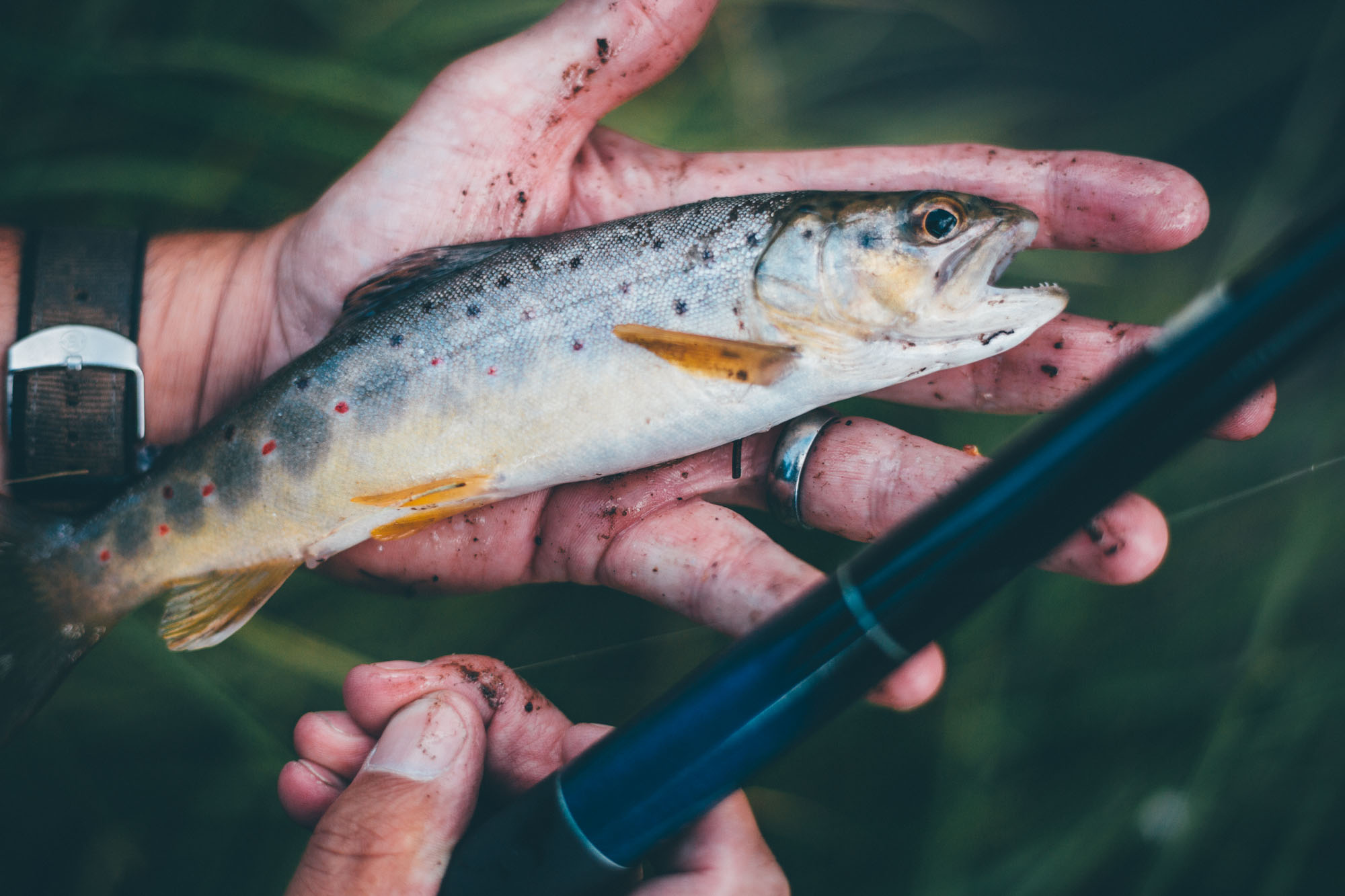
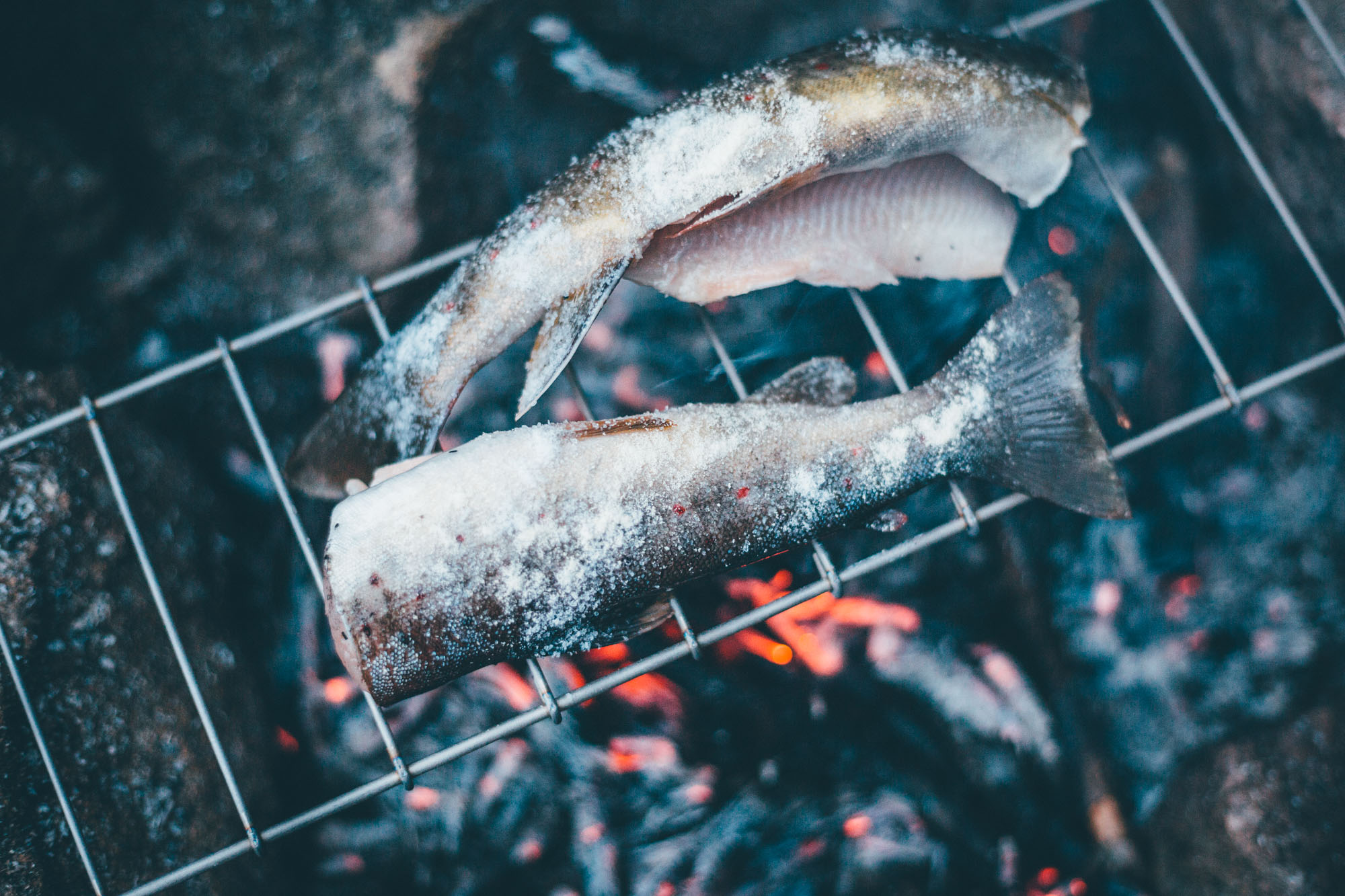
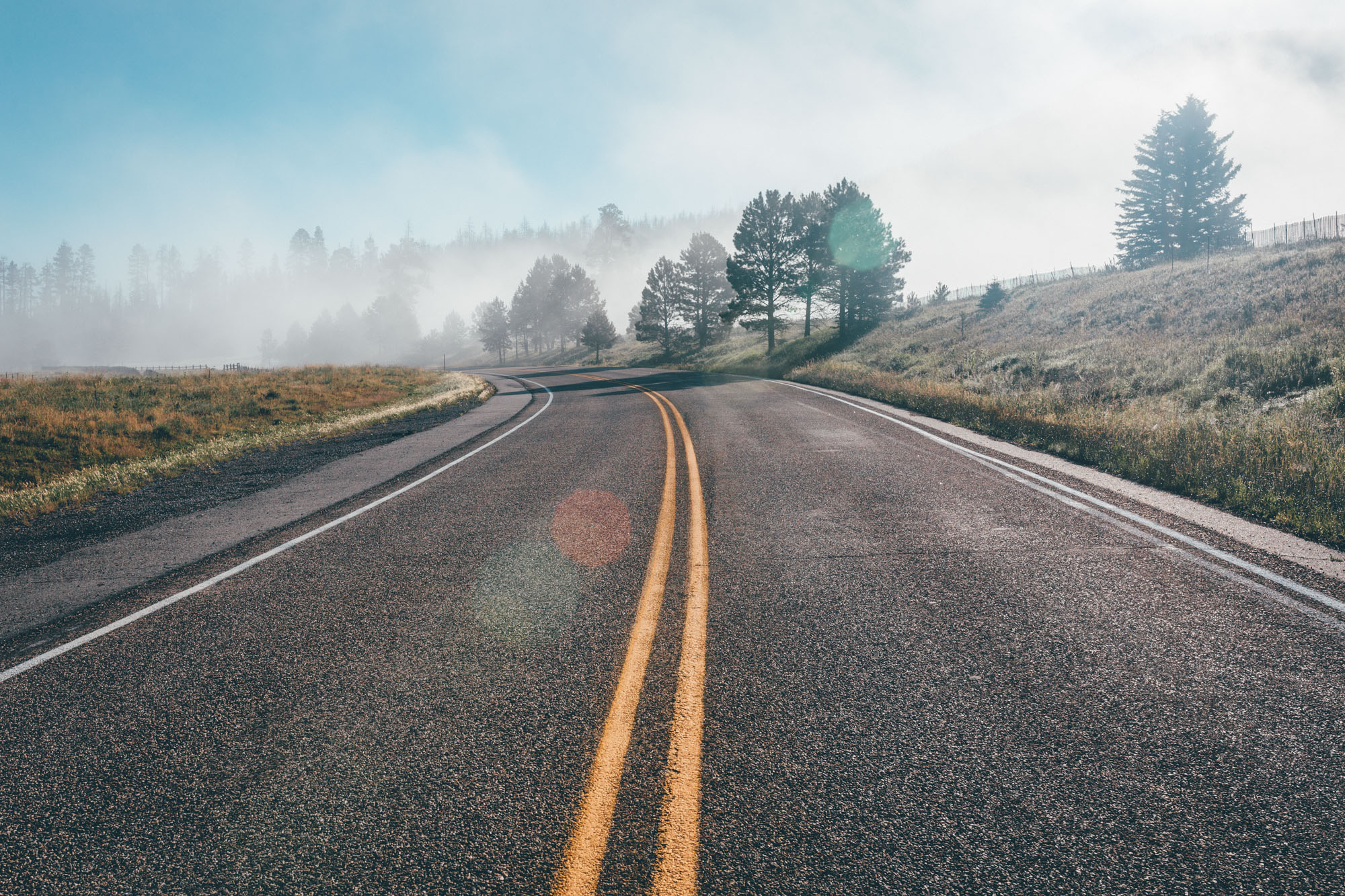
Situated to the northwest of Santa Fe, the Jemez Mountains are nothing less than a bikepacking idyll, laced as they are with a network of dirt roads, hot springs, high pastures, and clear streams. For anyone packing a rod in their framebag, there’s plentiful fishing potential too.
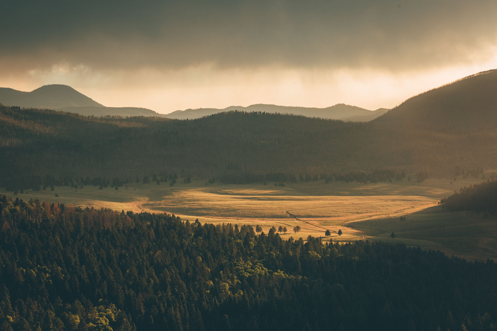
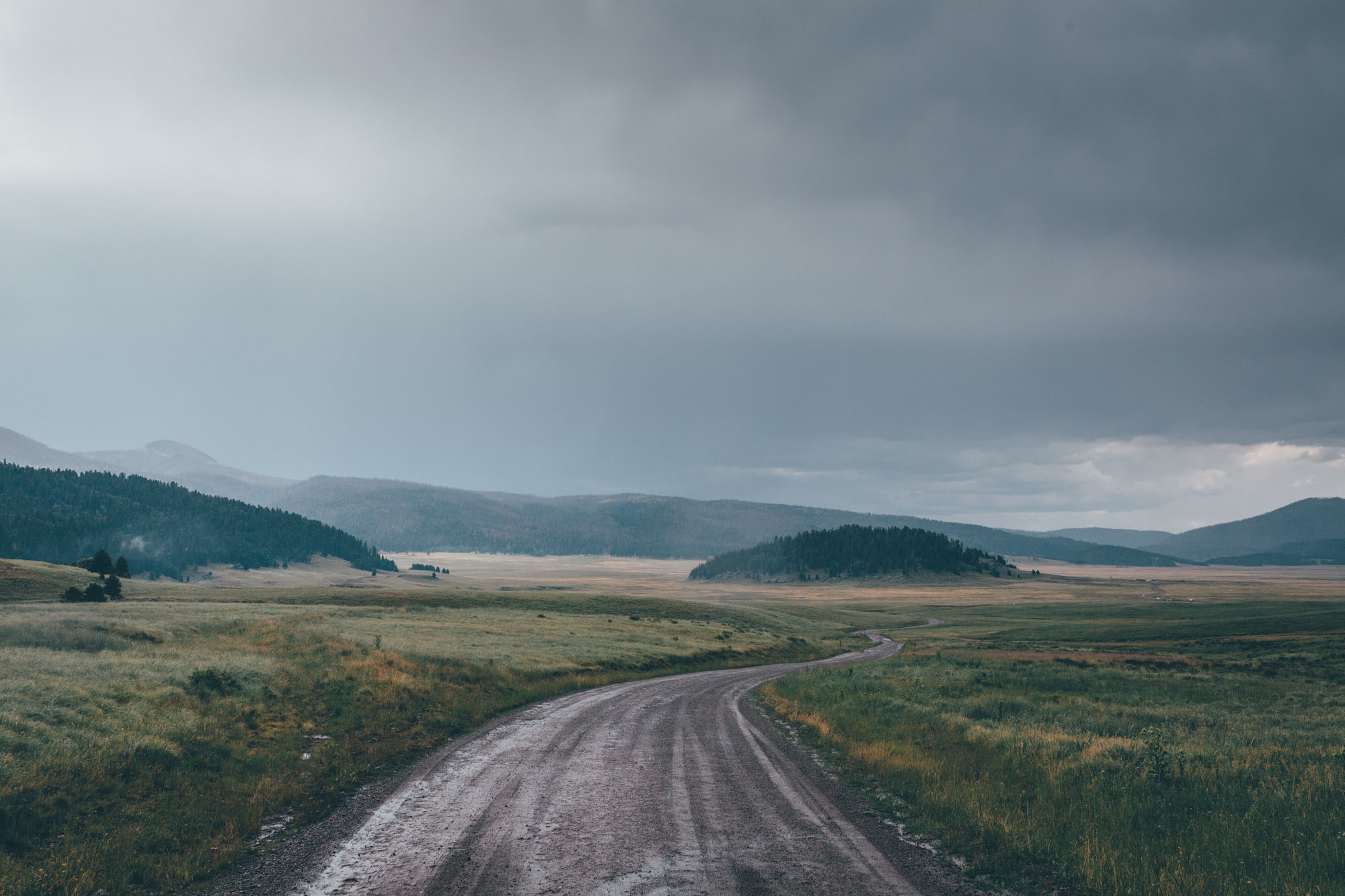
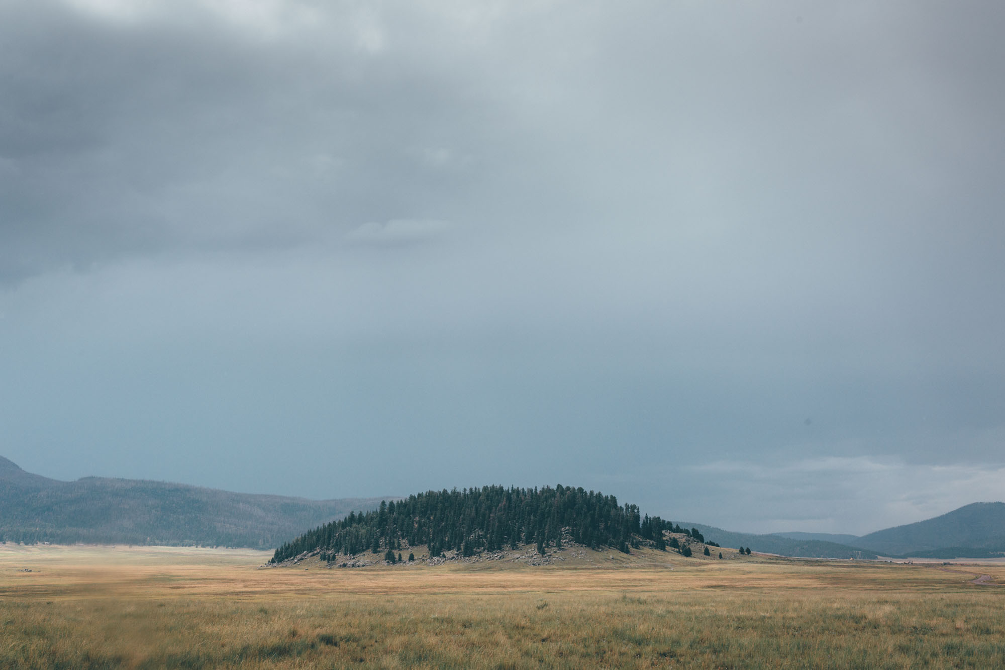
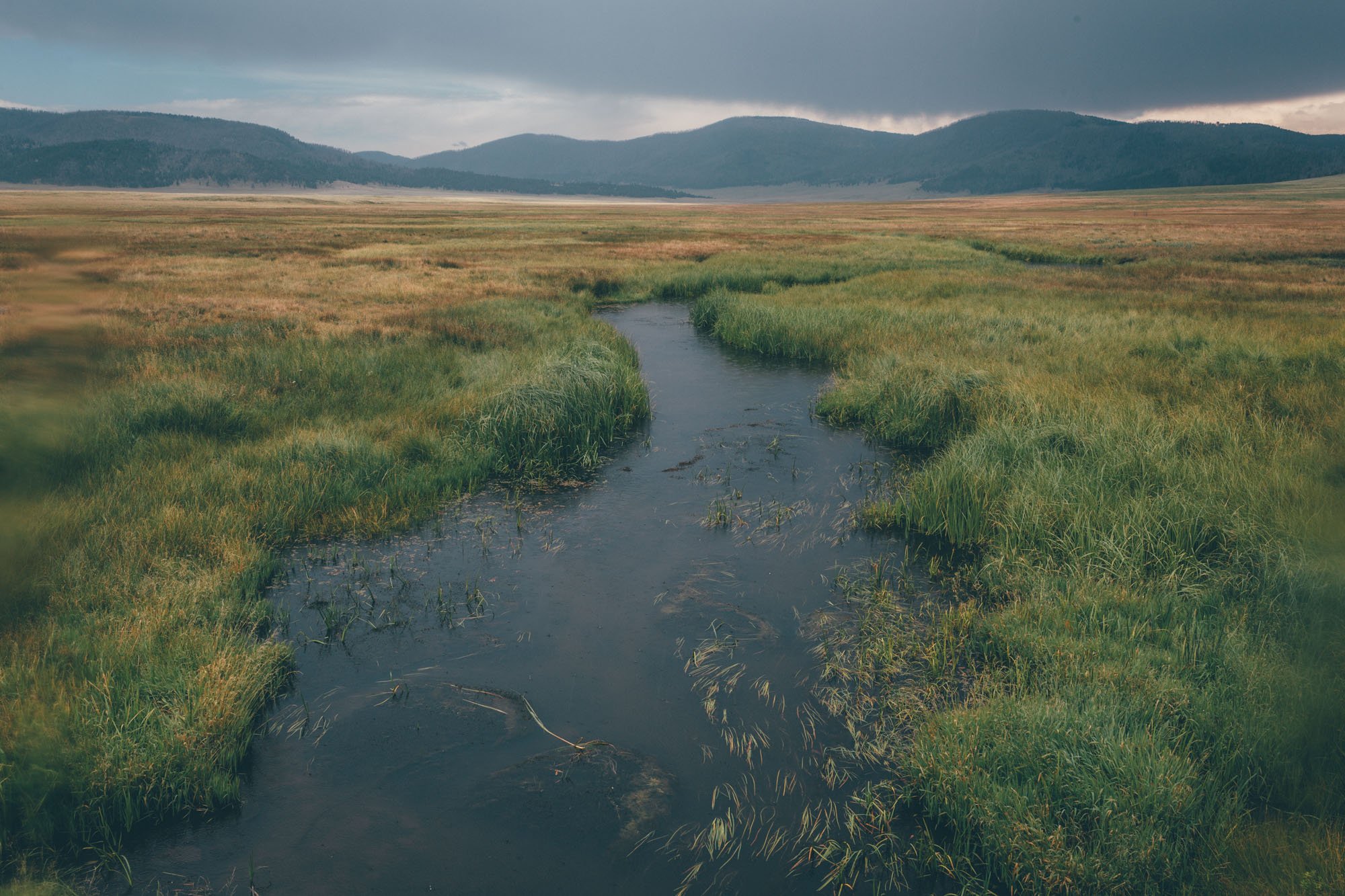
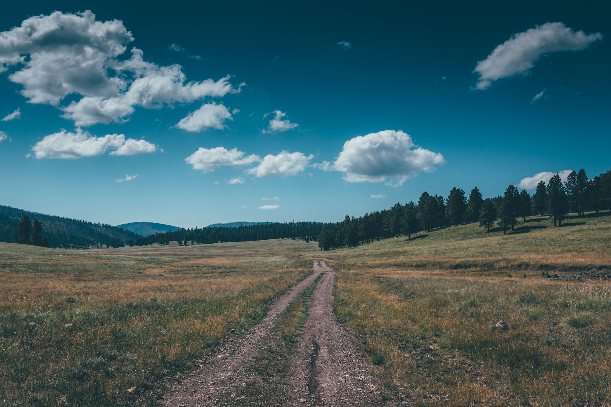
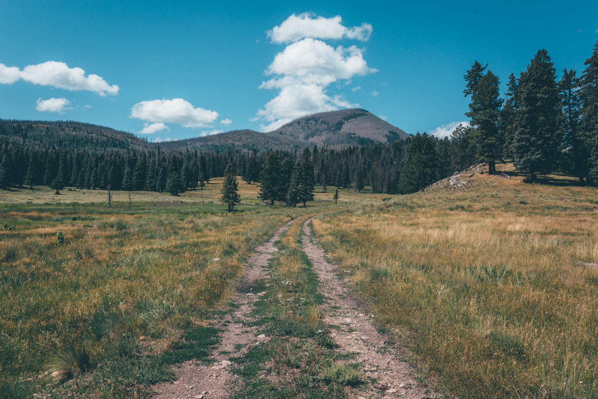
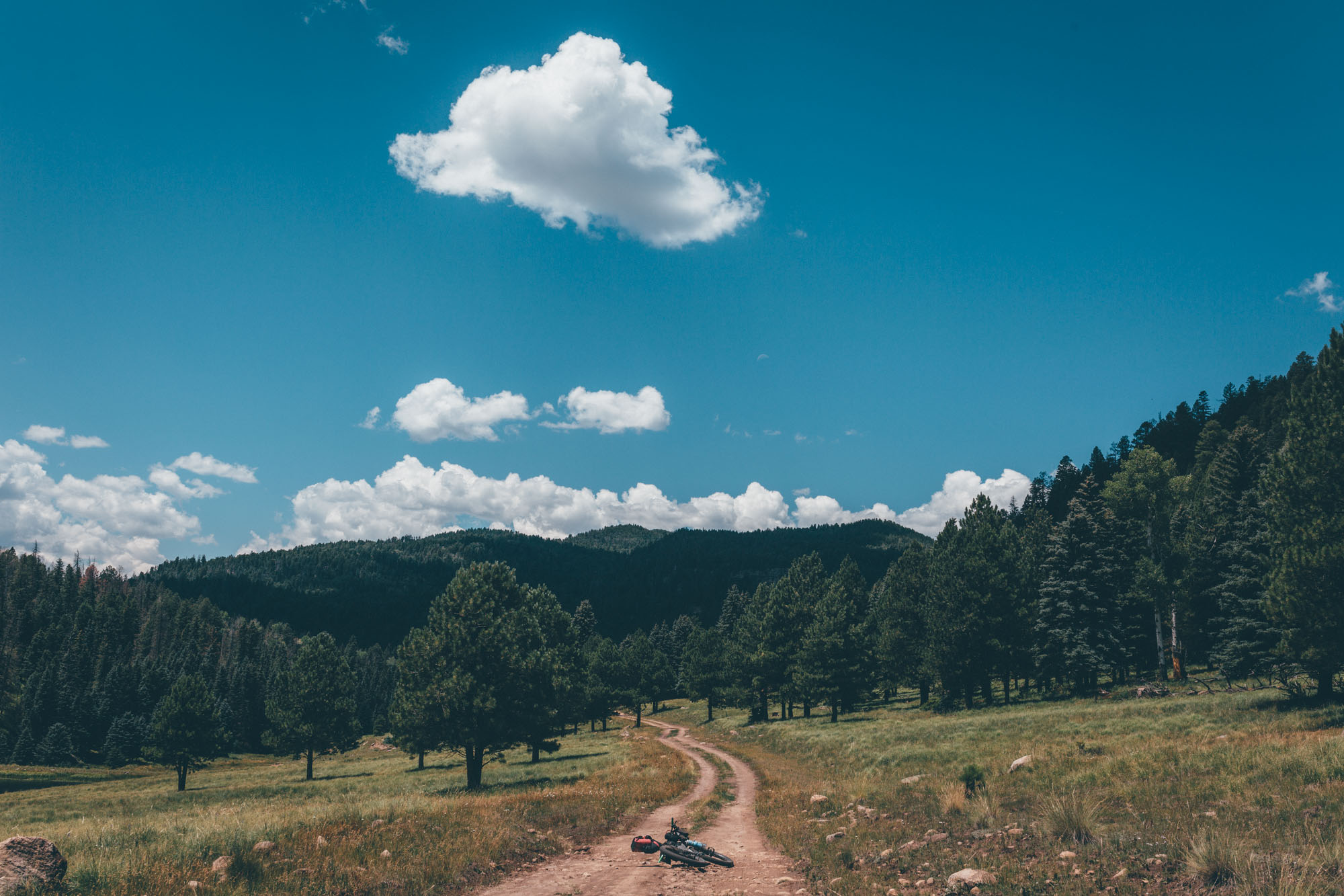
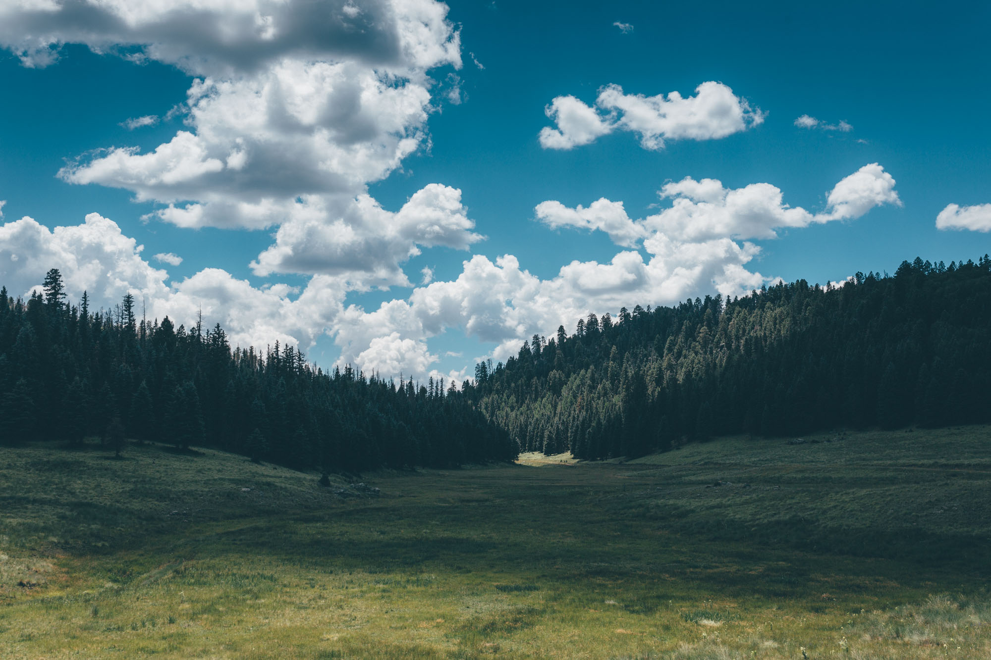
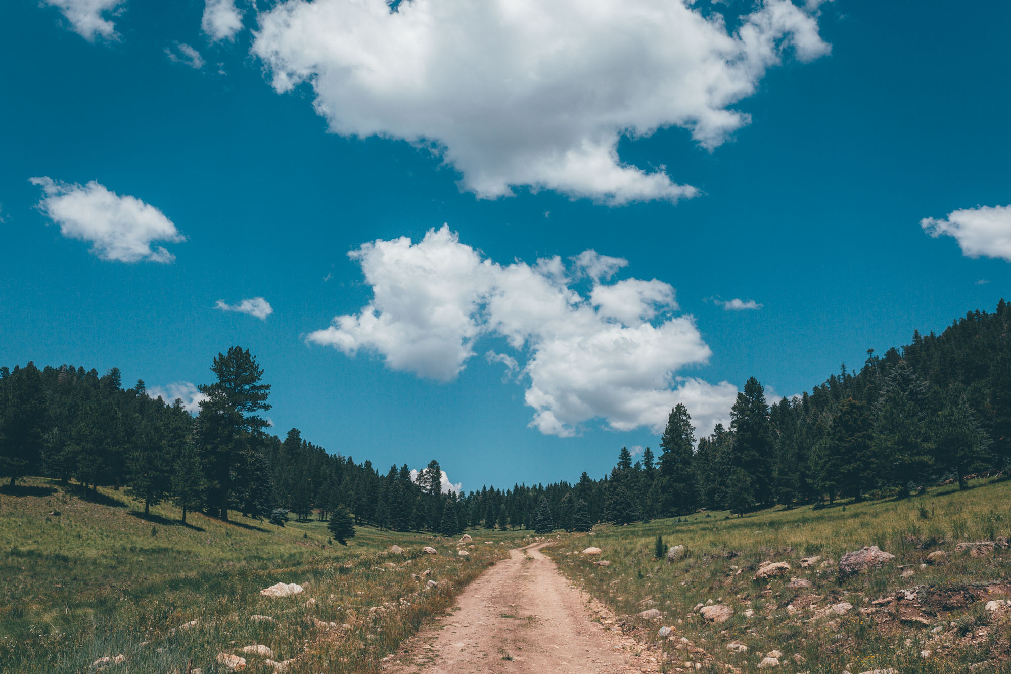
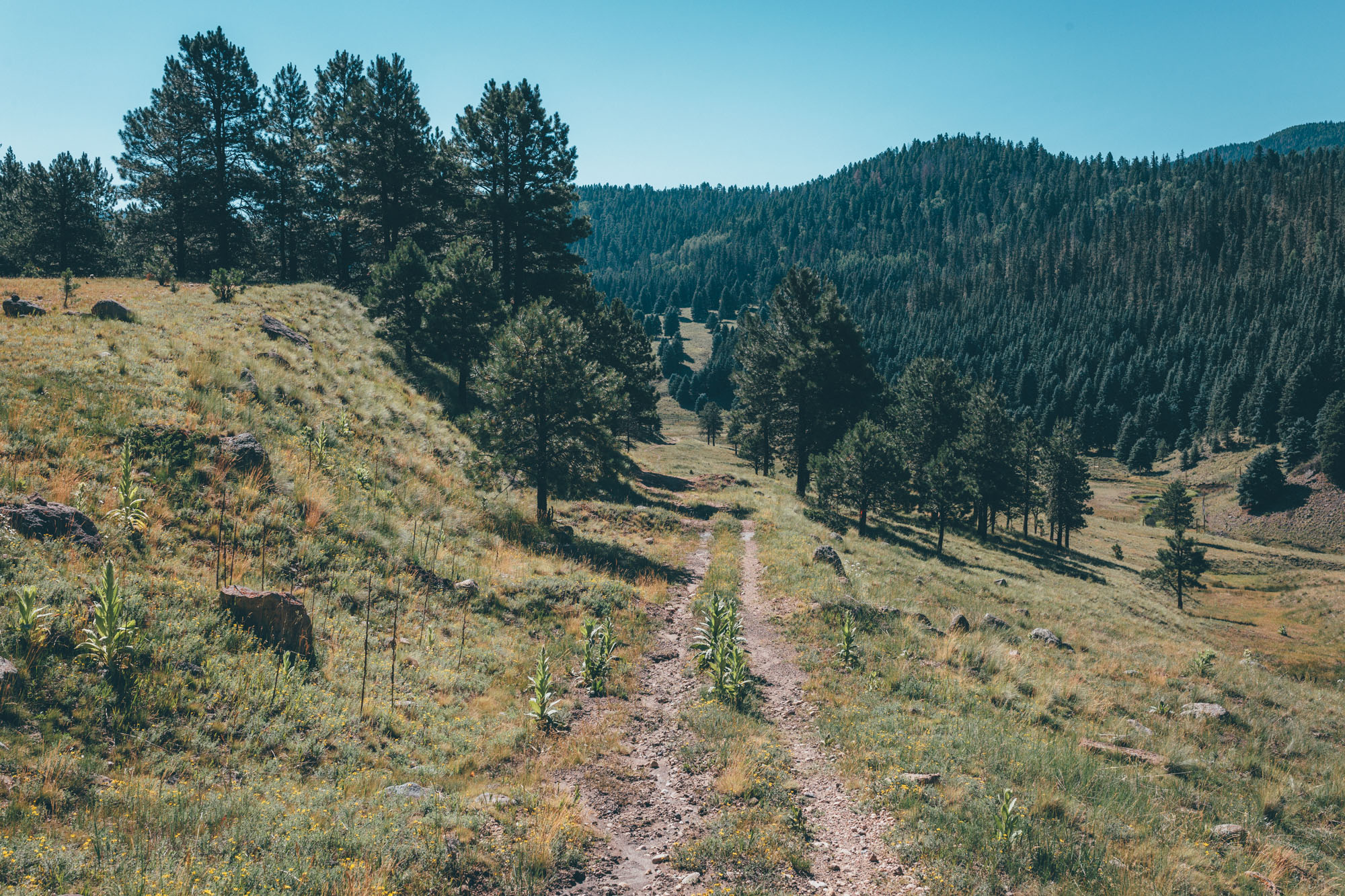
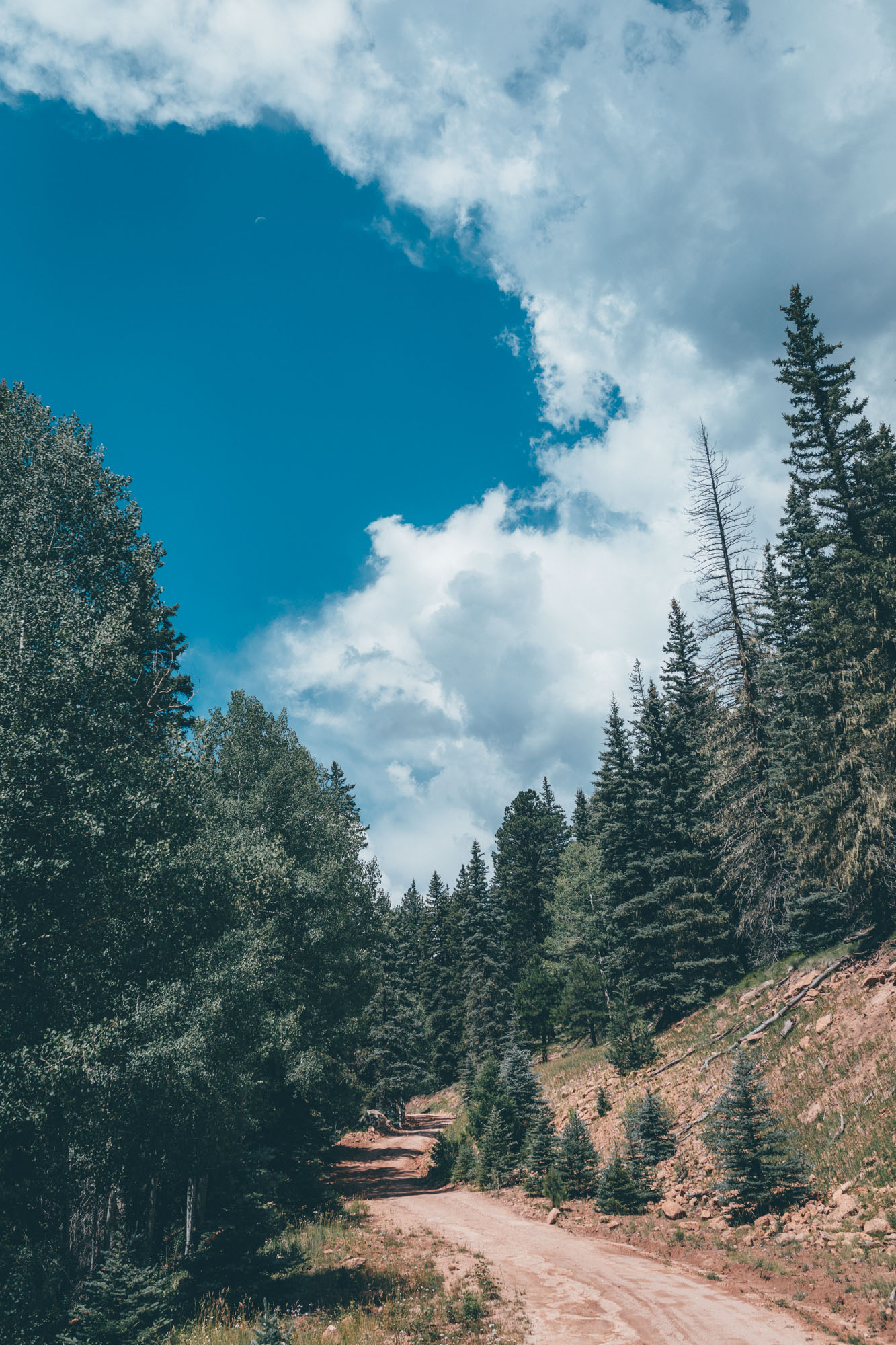
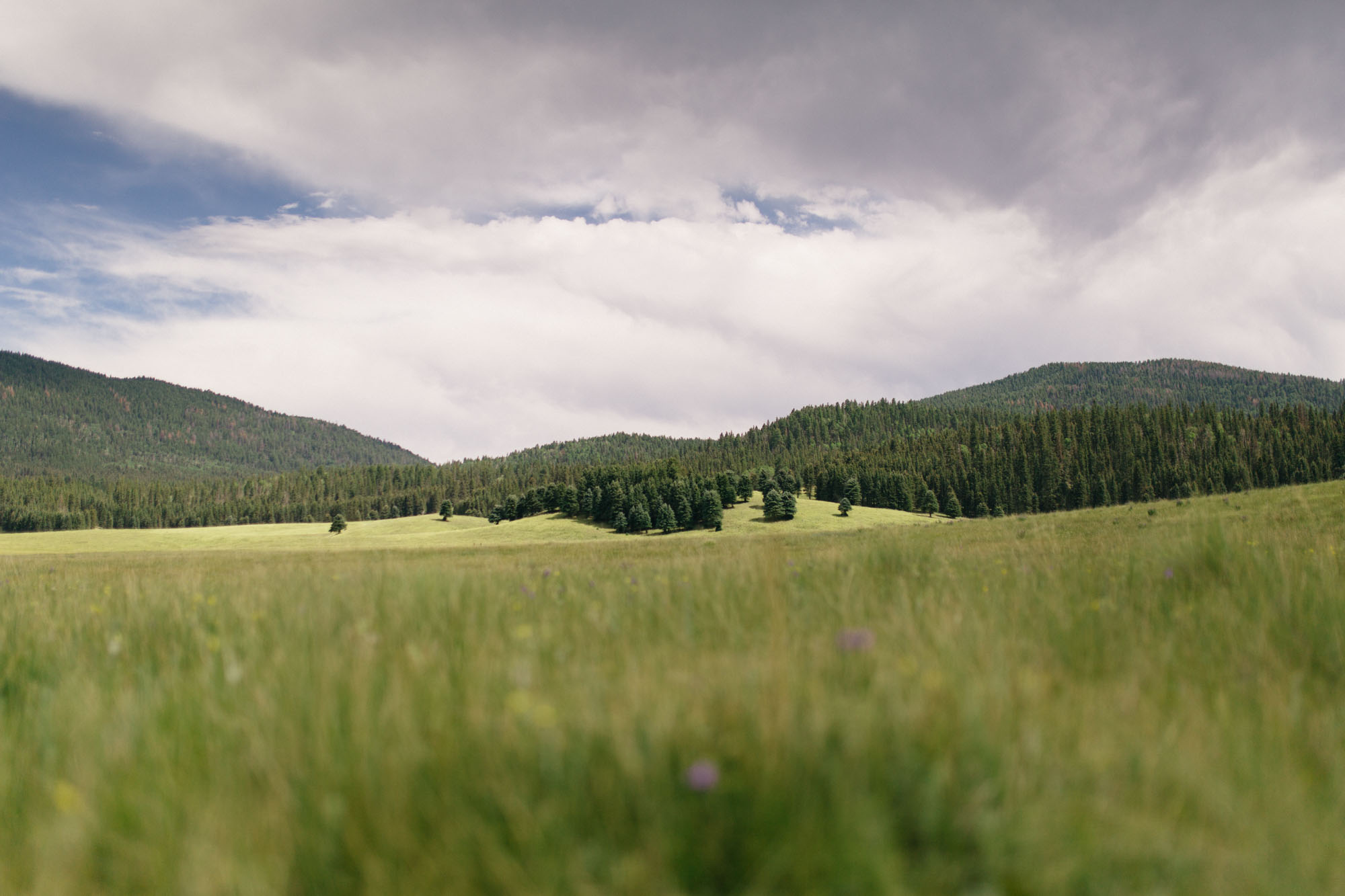
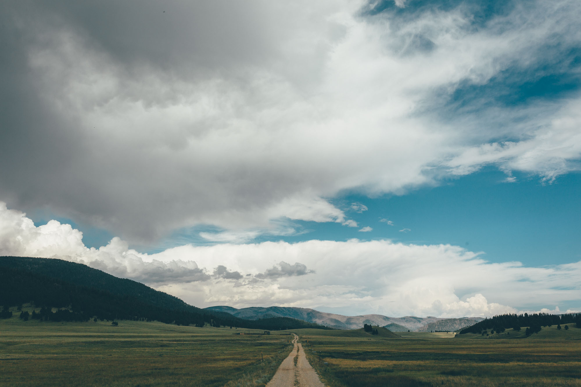
This exploratory route spends two to three days rambling – depending on time spent soaking/fishing – through the largely traffic-free Valles Caldera, a volcanic depression extending some 14 miles in width. It does so via a series of rolling gravel roads and primitive two-track, that wend their way through forests of ponderosa and across lush and verdant meadows. Due to the density of connecting roads throughout the caldera, the route can easily be edited to suit your timeframe and interests – see the Trail Notes tab for suggestions and other gpx files for ideas.
A brief history of the route
In 2016, daily access to the Valles Caldera National Preserve was opened to cyclists – prior to this, it was limited to occasional dates throughout the year. At the time of putting together the route, a relatively inaccurate map was made available to visitors at the main office of the Valles Caldera National Preserve. This map indicated a number of remote access points to the preserve, but even at the main office, definitive information as to whether these could be legally used by cyclists – and their state – was vague at best.
This ultimately dictated the nature of the route. The one that took shape used only access points that were confirmed as a 100% legal at the time, rather than others that also existed on the ground but were gated – the initial reason, for example, behind the extended loop up to Forest Road 144. All this said, these ‘limitations’ ultimately ended up making for a very thorough, exploratory feel to the route… hence its name! For this 2021 Reboot, we’ve kept its rambling nature largely the same, but have included a number of shortcuts and variations, now that there are more access points to the Preserve.
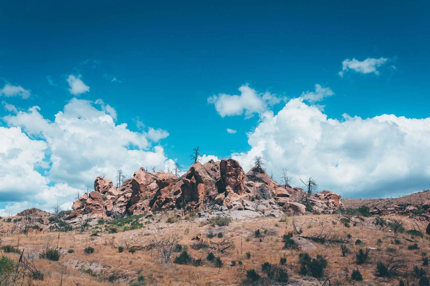
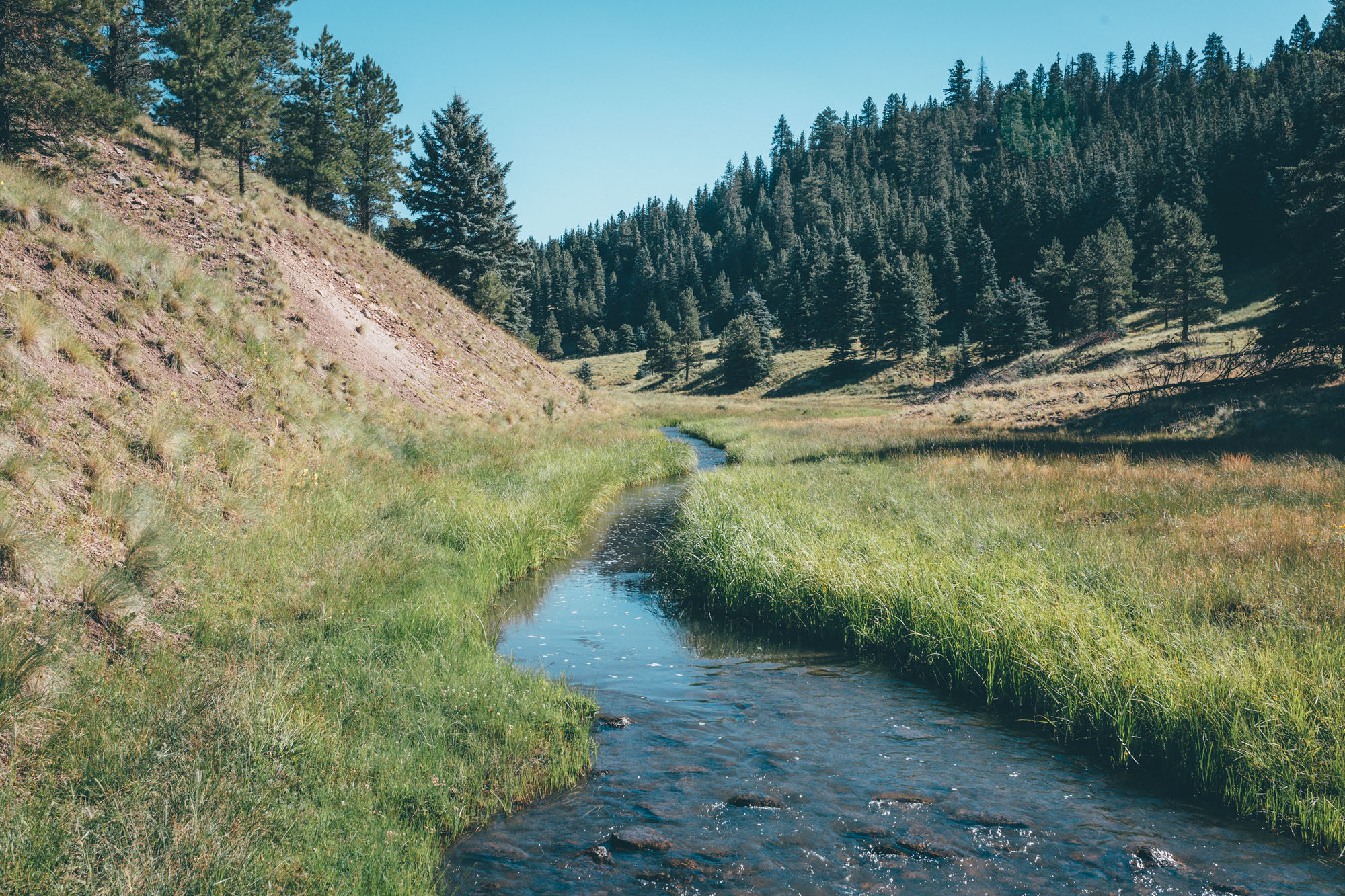
The updated version of this route – V2 – enters the Valles Caldera via Pajarito Mountain Ski Area, an mtb and ski centre that lies a stiff climb above Los Alamos. Initially, it strikes south west to check in at the preserve’s main entrance and then, after an initial taster for what lies ahead, it briefly exits again via Sulphur Springs Road, to climb back up to the terraced pools of blissful San Antonio Hot Springs (clothing optional). Excellent trout fishing and prime camping real estate beckon here to – set to a backdrop of tent rock sculptures – just a short ride along the river. These cone-shaped rock formations are a surreal reminder of this zone’s turbulent past, the product of volcanic eruptions that occurred six to seven million years ago. Learn more about them – and see other examples – at the nearby Kasha-Katuwe Tent Rocks National Monument.
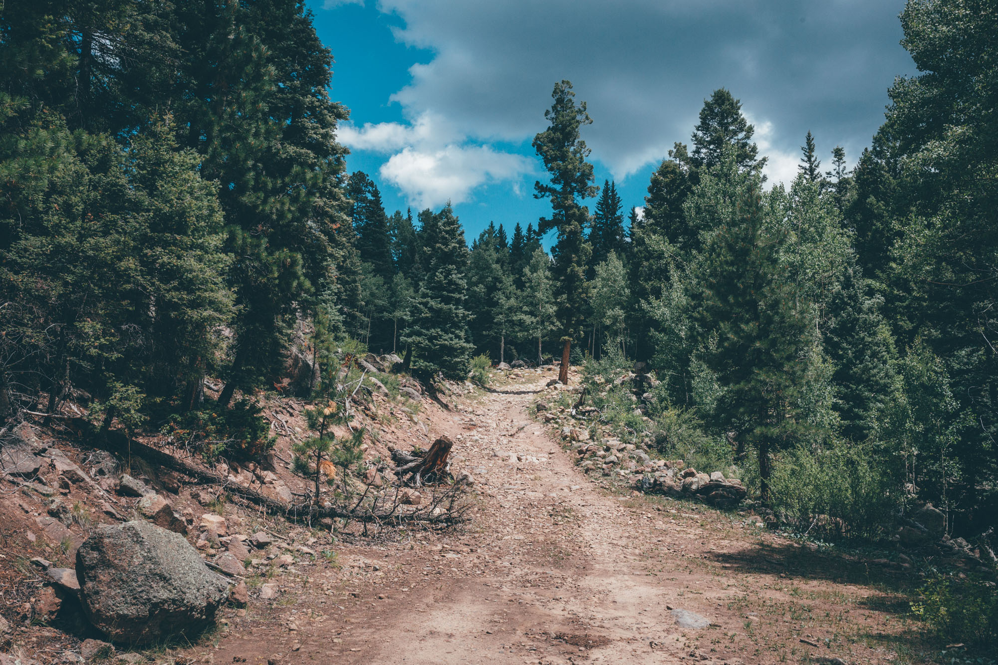
Muscles relaxed, the faintest of creekside singletrack leads riders onwards. The end of an abandoned doubletrack road preludes another testing climb that feeds into the more established Forest Road 44, briefly overlapping with the fabled Great Divide Mountain Bike Route. As tempting as it would be to hang a left and head for Mexico… the highest part of this ride, at over 10,300 feet, also marks the re-entry point back into the preserve. This lesser-travelled northwestern corner of the Valles Caldera is particularly remote and appealing; a tangle of overgrown jeep tracks and singletrack meander through corridors of aspens, with views far across the grassy meadows of the plateau below.
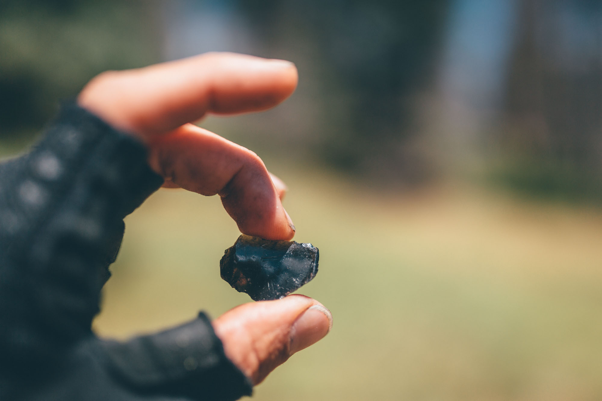
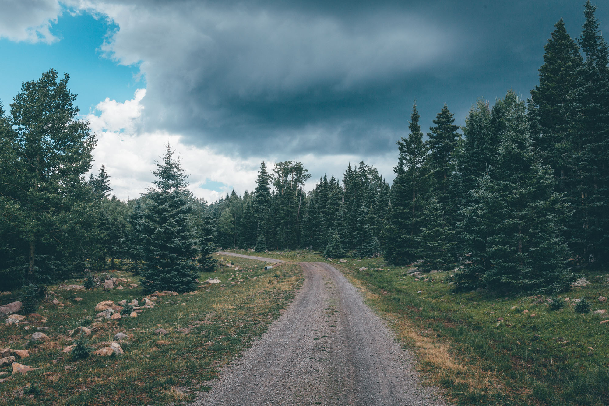
Back at San Antonio Creek, the return leg involves crosses a gently undulating depression from west to east, now on the main gravel thoroughfare. Keep a lookout for chunks of jet black obsidian as you leave the preserve, up the rough dirt road that curls steeply back up towards La Pajarito Mountain Ski Area. For those with an appropriate bike and a light load, the route plugs into Los Alamos’ local trail network for a descent on the chunky Pipeline Road back into town. Otherwise, more mellow options can be enjoyed, too – see map for details.
2021 Reboot
Originally published in October, 2016, the intention of the route was to showcase both the newly opened Valles Caldera Preserve and how it could be accessed by public transport – using the bike-friendly Railrunner train service to Kewa Station and the Los Alamos-Santa Fe bus as bookends. However, St. Peter’s Dome Road, which passes through land historically owned by the Pueblo, has been closed to public access for the last couple of years. This updated version has thus been rejigged into a 100 mile, 2-3 day loop from Los Alamos (still accessible by bus from Santa Fe) – via a climb to Pajarito Mountain Ski Area. If you’re interested in riding the original route, check in with the Santa Fe National Forest for the latest updates on St Peter’s Dome Road… but don’t hold your breath! With thanks to all those who have reported in on road conditions and made suggestions for reroutes. Room for improvement still? Let us know!
Difficulty 7: Logistically, this is a straightforward ride with easy access to water, a resupply point, and great camping potential. However, primitive dirt roads can be slow going and subject to fallen trees, so pack light enough to be able to shoulder your bike if need be, and factor this possibility into your timeframe, too. Whilst there are a few extended stretches of rocky terrain, the trail network that it plugs into en route to Los Alamos is the most rugged part of the ride, so edit it out if need be. See Trail Notes for other ideas on adjusting the ride to suit your timescale.


Submit Route Alert
As the leading creator and publisher of bikepacking routes, BIKEPACKING.com endeavors to maintain, improve, and advocate for our growing network of bikepacking routes all over the world. As such, our editorial team, route creators, and Route Stewards serve as mediators for route improvements and opportunities for connectivity, conservation, and community growth around these routes. To facilitate these efforts, we rely on our Bikepacking Collective and the greater bikepacking community to call attention to critical issues and opportunities that are discovered while riding these routes. If you have a vital issue or opportunity regarding this route that pertains to one of the subjects below, please let us know:
Highlights
Must Know
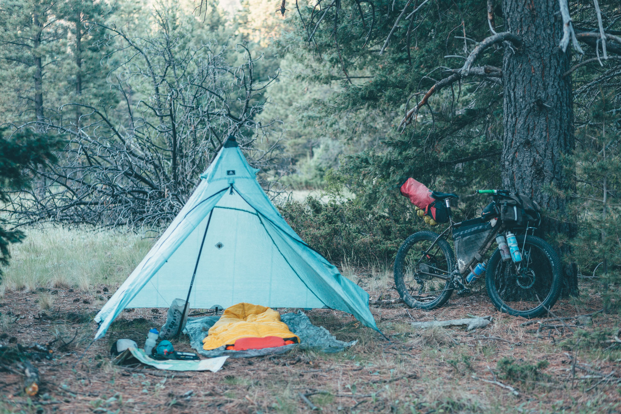
Camping
Food/H2O
Trail Notes
Resources
- Experiencing the beautiful expanse of the volcanic depression, dotted with islands of forest between grassy meadows. Elk and deer abound!
- Bathing in the San Antonio hot springs – clothing optional.
- Enjoying New Mexican starry nights – they never disappoint.
- Catching a trout for dinner, if fishing is your thing.
- Mix and Matching – the area has a number of connectors, so it’s easy to edit the route to suit timescale and experience.
- When to go: Fall is an especially wonderful time to ride in New Mexico; the monsoon season has passed and the aspens are turning colour. On the whole, the dirt roads in the Jemez Mountains drain relatively well, unlike the lower elevation desert. The Jemez is gorgeous in the spring, too. But bear in mind that it’s snowbound in winter, so higher elevation parts of the ride aren’t likely to be clear until April/mid-May. The route can be ridden until the first snows, but expect overnight temperatures to drop below freezing at that time of year.
- Deadfall and blowdown: Bear in mind that parts of this route – especially those that use primitive roads or at the beginning of the season – can be subject to deadfall and blowdown. Pack light and expect to lug your bike over fallen trees on occasion, depending on the particular year. Give the Valles Caldera Preserve office a ring ahead of time, as they may have updates, or read the comments section for the latest route updates.
- Best bike: Forest road conditions and trails in New Mexico can be a mixed bag, at the best of times. A mountain bike with 2.3 to 2.6″ tires is highly recommended. However, more experienced riders who are happy ‘underbiking’ at times will find it can also be tackled on a gravel bike with 50mm tires. Expect to push more often and edit the route accordingly – primarily by avoiding the Los Alamos trail network, by turning off towards La Pajarito ski station when exiting the caldera and connecting with pavement there. There is a substantial amount of climbing along this route, so whatever your bike, ensure you have a broad range of gears. A 32T x 1-50T setup – or equivalent – is recommended.
- The Preserve can only be enjoyed between 8 a.m. and 5/6 .p.m, so make sure you’re camping outside its boundary… Some suggestions are marked on the map.
- There’s a $15 fee to pay upon entry, valid for 7 days, unless you have a National Parks annual pass. Summer hours are 8 a.m. – 6 p.m. and winter hours are 9 a.m. to 5 p.m. However, at the time of this update, the fee is being waived. See here for more details.
- Public transportation options only run from Los Alamos to Santa Fe during the week. The timetable can be found here, but give the regional transportation office a ring, as it can be confusing. Buses tend to leave Los Alamos very early in the morning or late in the afternoon, so you’ll need to factor this into your route planning. There’s plenty of room for several bikes on the bus between Los Alamos and Santa Fe.
- If you’re coming from Albuquerque, the Railrunner timetable can be found here. Note that Saturdays and Sundays are different than during the week. There’s no problem taking bikes with you.
- If you’re driving, consider parking up at Pajarito Mountain Ski Area, though this means missing the challenge of getting up there. Camp May is nearby. There are also options in the National Forest off Highway 4 (mile 21), close to the main entrance to the preserve.
- Outside of the preserve, camping is rarely an issue. Much of this route passes through national forest, so there are plenty of options, even if most are dry.
- Los Alamos has a co-op and a Smiths.
- Water abounds in the Jemez, for the most part, unless it’s been a particularly dry year. There’s no need to pack too much, just be sure to bring your filter. I typically have a water capacity of 4 litres when riding in northern New Mexico but rarely need it.
- A few reliable water points are marked on the map, but there are plenty more as creeks flow across the caldera.
- The only stretch that tends to be dry is leaving the caldera at mile 58, until you cross a river once more at mile 78.
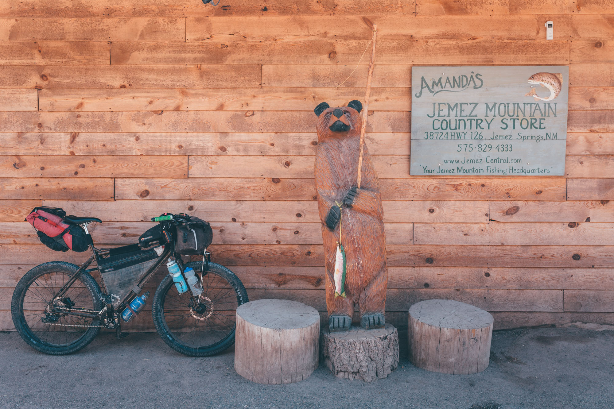
- Amanda’s at La Cueva offers a good resupply point.
Route Alternates
For those who want to start in Los Alamos and avoid pavement, consider riding out on the Pipeline Trail – the way the route returns. It’s a steep climb and a graft in places. But with a light setup, it’s mostly rideable.
For a more gentle climb than the one routed, follow Highway 4 to the entrance of the Preserve. However, this does involve 17 miles of pavement, with some traffic.
There are many other alternates to this route, should you prefer to trim it down to suit a shorter timeframe. This includes leaving the route at Mile 58 and cutting straight across the preserve to 78. You’ll miss out on some grand views, but you’ll also avoid a significant climb of some 2,000+ feet. If you park up outside the caldera, this makes for the considerably more palatable ‘ Supervolcano Explorer – the Honeymoon Edition“, with a more modest 60 miles of riding and 4450 feet of climbing. Or, in a similar vein albeit with a more direct initial crossing, there’s the Supervolcano Explorer – Desert Pain Cave Edition, which is a similar distance.
It’s also possible to turn off at mile 41 (VC-08), head north to rejoin the route (approx mile 58), without dropping down to La Cueva. If you do this, you can now exit the Preserve to visit the San Antonio hot springs and camp by San Antonio Creek, and re-enter the park the same way the following day. The descent to La Cueva and the climb to San Antonio are both very enjoyable and recommended sections to include, but you’ll save yourself some time and if you make the short detour, you can still soak in the hot springs.
Or, you can simply ride into the preserve from the Pajarito Mountain Ski Area and head straight to San Antonio for a hot spring overnighter! Technically, you’ll still need to detour to the main entrance to pay for entry – though at the time of writing, this fee is being waived.
Think Big!
How about riding from Chama – following the CDT on the Chama Charmer – then hopping on the Great Divide Mountain Bike Route, and connecting with the Valles Caldera Supervolcano Explorer? Or better still, connect the Charmer to the Caldera Crest Trail from Abiquiu to the Valles Caldera, then ride the Supervolcano Explorer in reverse. Options abound!
Additional Resources
- Valles Caldera National Preserve
- Valles Caldera condition report
- Railrunner train service (running between ABQ and Santa Fe)
- Bus service from Los Alamos to Santa Fe; only runs during the week but lots of room for bikes.
- Bike Fishing in the Valles Caldera!


Terms of Use: As with each bikepacking route guide published on BIKEPACKING.com, should you choose to cycle this route, do so at your own risk. Prior to setting out check current local weather, conditions, and land/road closures. While riding, obey all public and private land use restrictions and rules, carry proper safety and navigational equipment, and of course, follow the #leavenotrace guidelines. The information found herein is simply a planning resource to be used as a point of inspiration in conjunction with your own due-diligence. In spite of the fact that this route, associated GPS track (GPX and maps), and all route guidelines were prepared under diligent research by the specified contributor and/or contributors, the accuracy of such and judgement of the author is not guaranteed. BIKEPACKING.com LLC, its partners, associates, and contributors are in no way liable for personal injury, damage to personal property, or any other such situation that might happen to individual riders cycling or following this route.
Please keep the conversation civil, constructive, and inclusive, or your comment will be removed.