


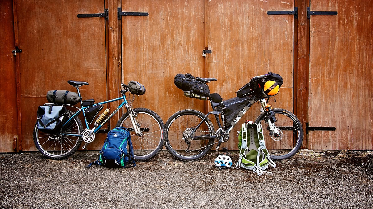
The Trans-Cambrian Way
Distance
103 Mi.
(166 KM)Days
3
% Unpaved
70%
% Singletrack
30%
% Rideable (time)
95%
Total Ascent
10,656'
(3,248 M)High Point
1,950'
(594 M)Difficulty (1-10)
6?
- 7Climbing Scale Strenuous103 FT/MI (20 M/KM)
- -Technical Difficulty
- -Physical Demand
- -Resupply & Logistics
Contributed By
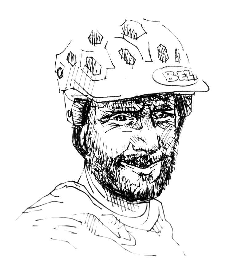
Chris Goodman
(Un)Inspired Rambler
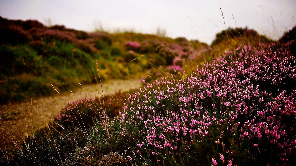
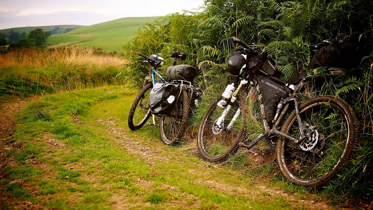
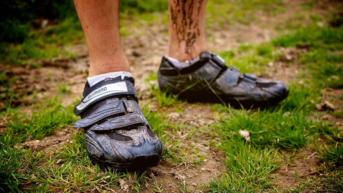
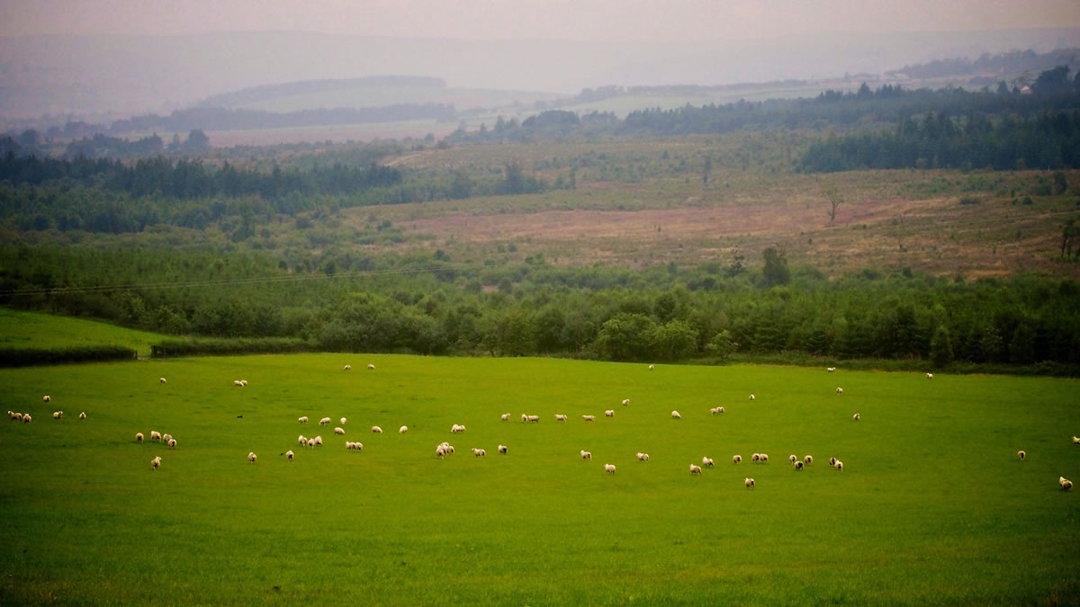
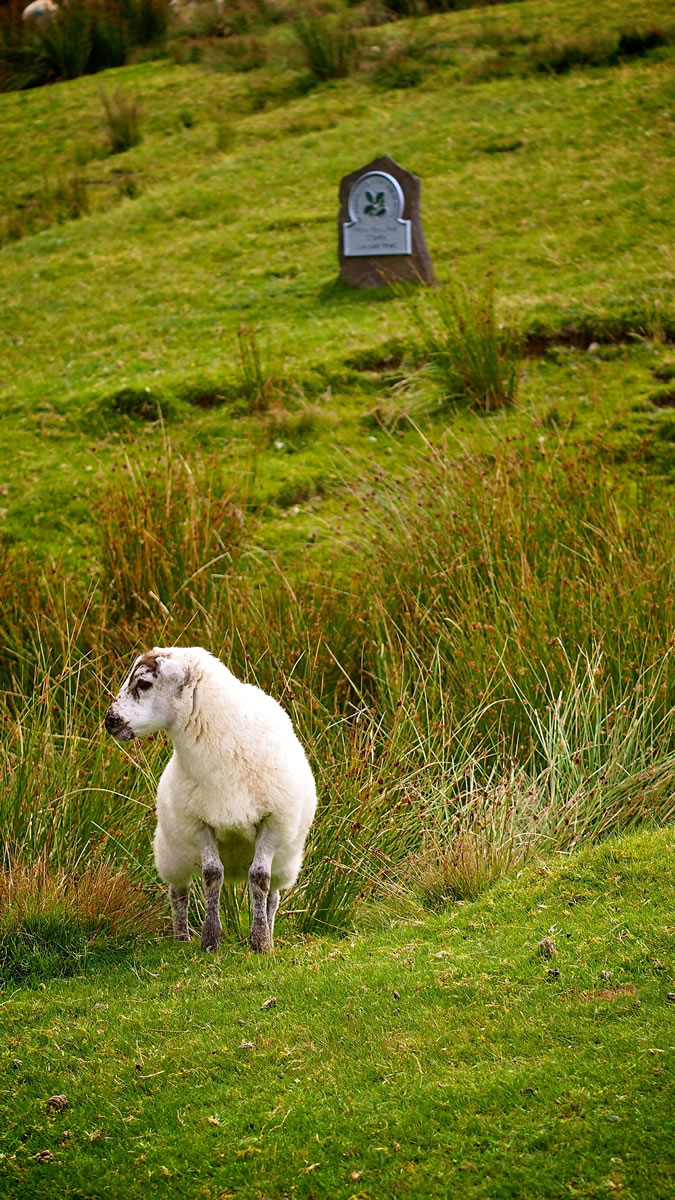
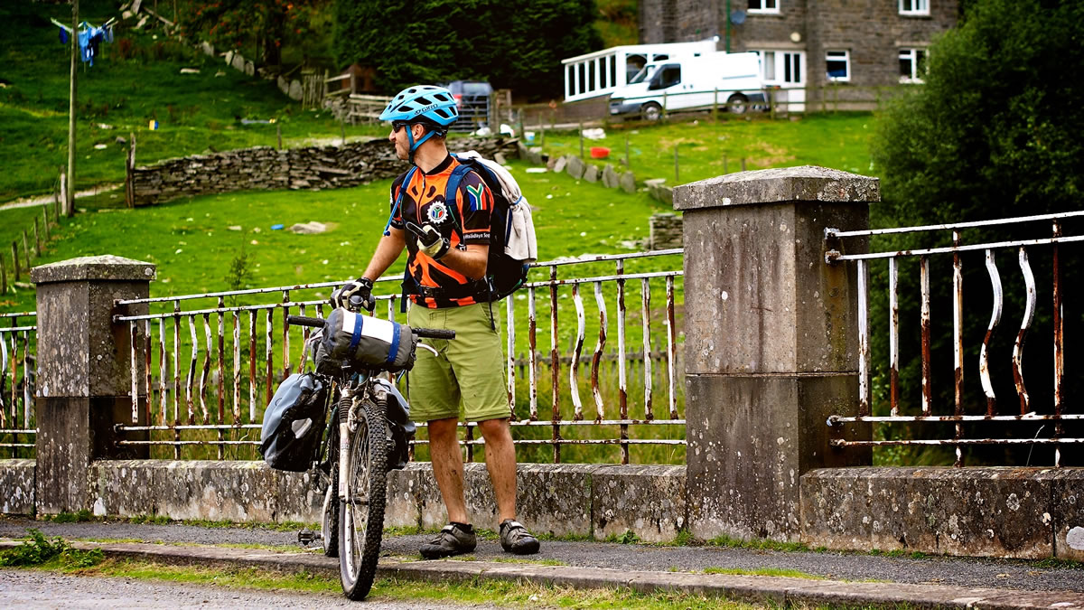
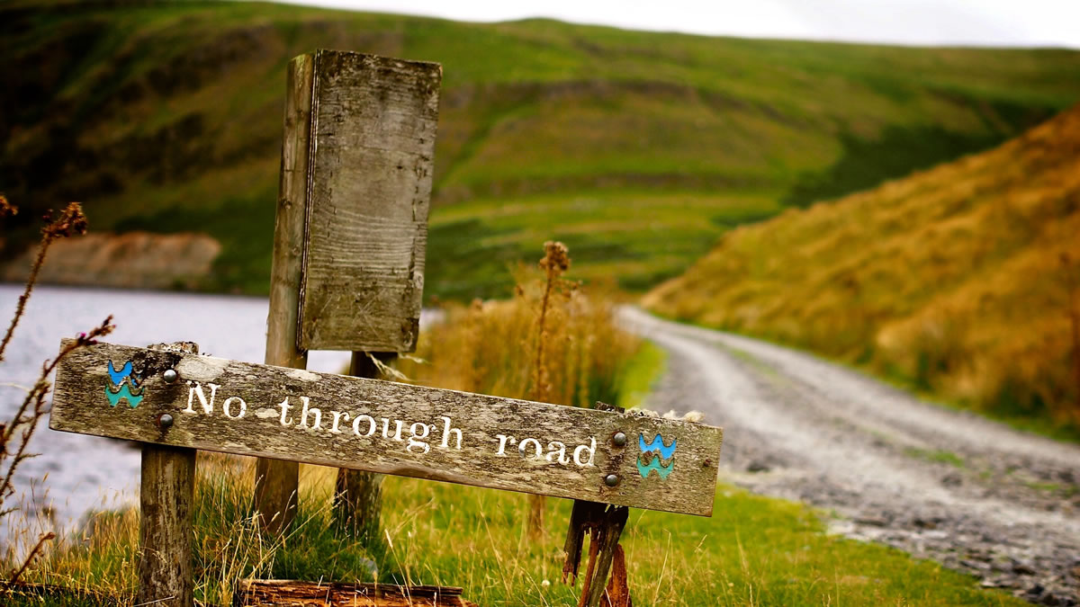
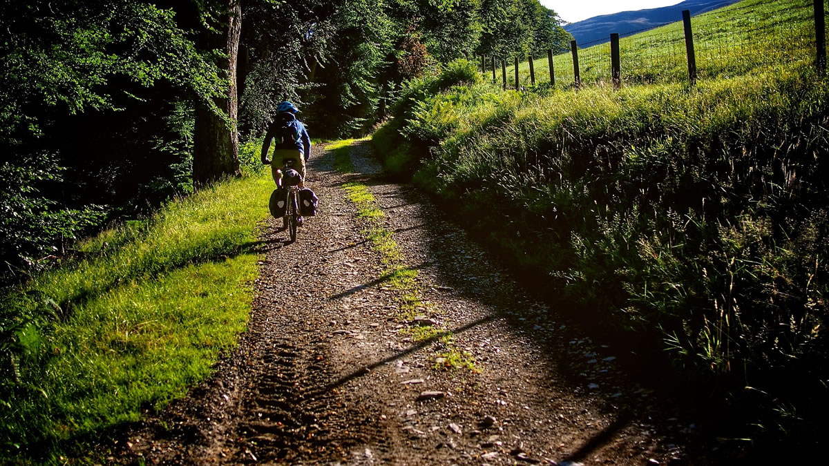
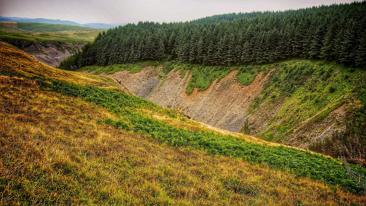
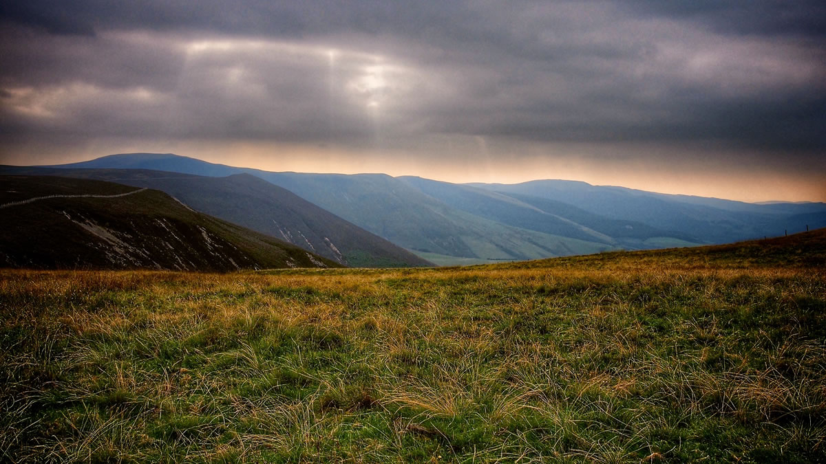
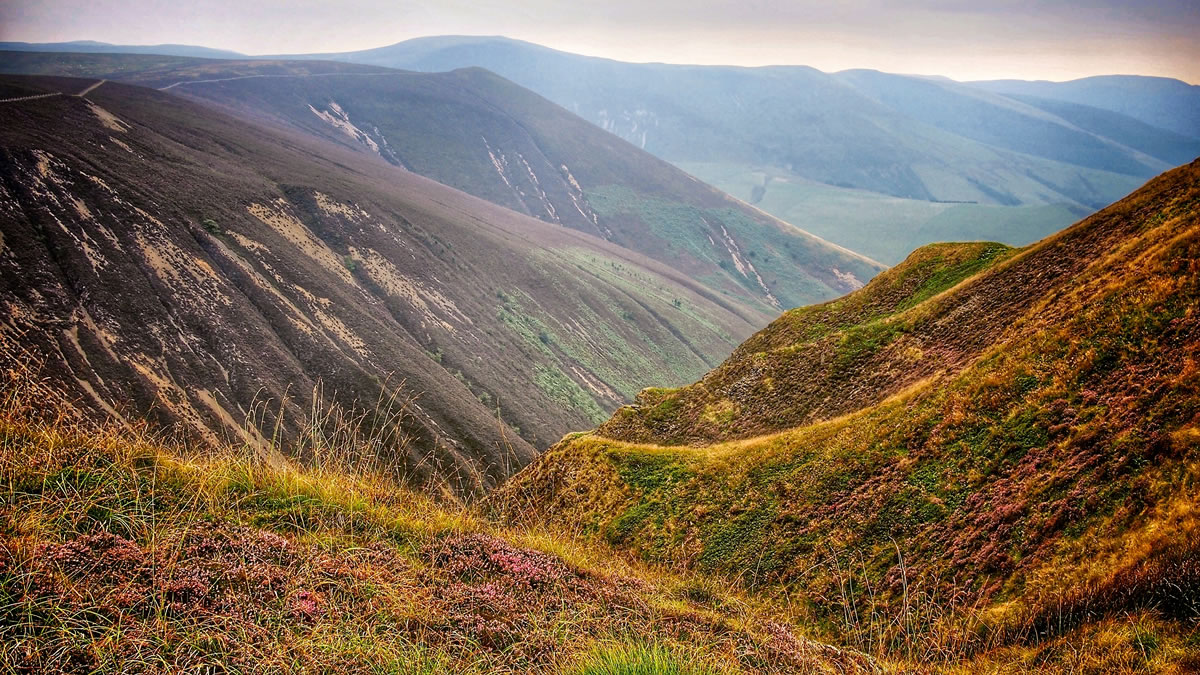
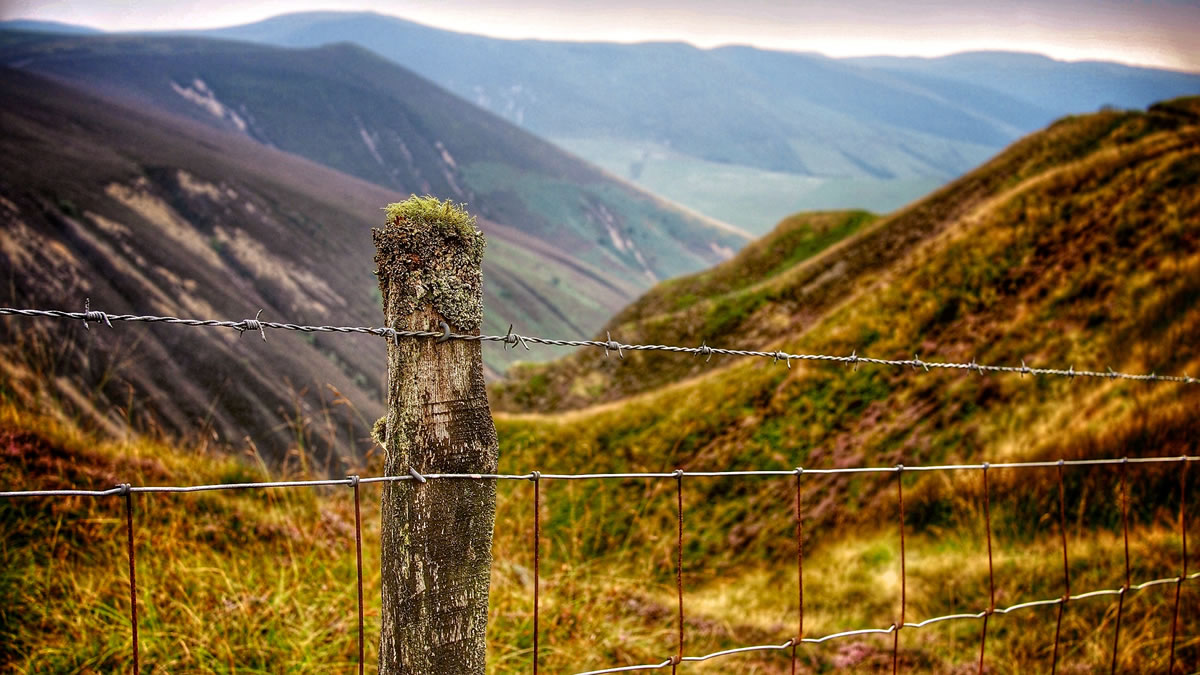
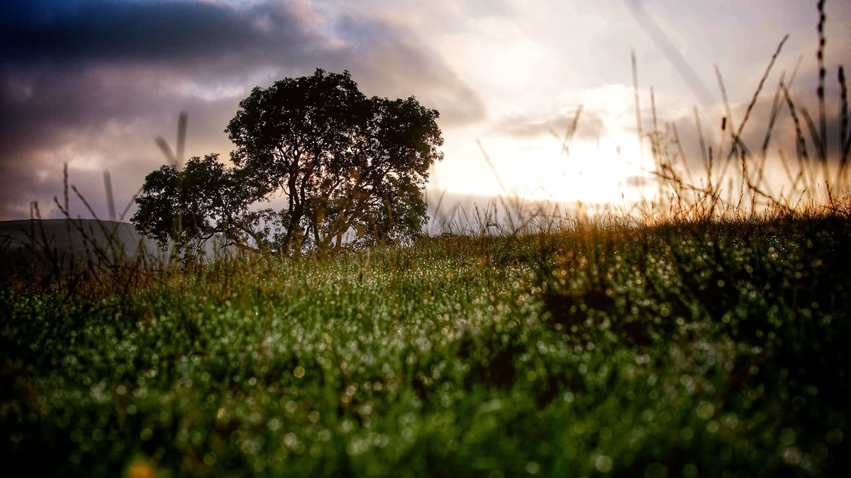
The trail takes you across the Cambrian Mountains – the oldest mountain range in Europe – climbing around 12,000 feet (3,700 m), over hills and moorland through one of the most sparsely populated parts of Wales. Grassy hills, rocky singletrack, ancient ridge roads, forest tracks and numerous rivers to ford – this ride has it all. As well as lots of sheep and accompanying sheep shit, which in some stretches is impossible to avoid – if you’re carrying a bottle underneath your downtube or on your forks, you’d best cover the cap.


Submit Route Alert
As the leading creator and publisher of bikepacking routes, BIKEPACKING.com endeavors to maintain, improve, and advocate for our growing network of bikepacking routes all over the world. As such, our editorial team, route creators, and Route Stewards serve as mediators for route improvements and opportunities for connectivity, conservation, and community growth around these routes. To facilitate these efforts, we rely on our Bikepacking Collective and the greater bikepacking community to call attention to critical issues and opportunities that are discovered while riding these routes. If you have a vital issue or opportunity regarding this route that pertains to one of the subjects below, please let us know:
Highlights
Must Know
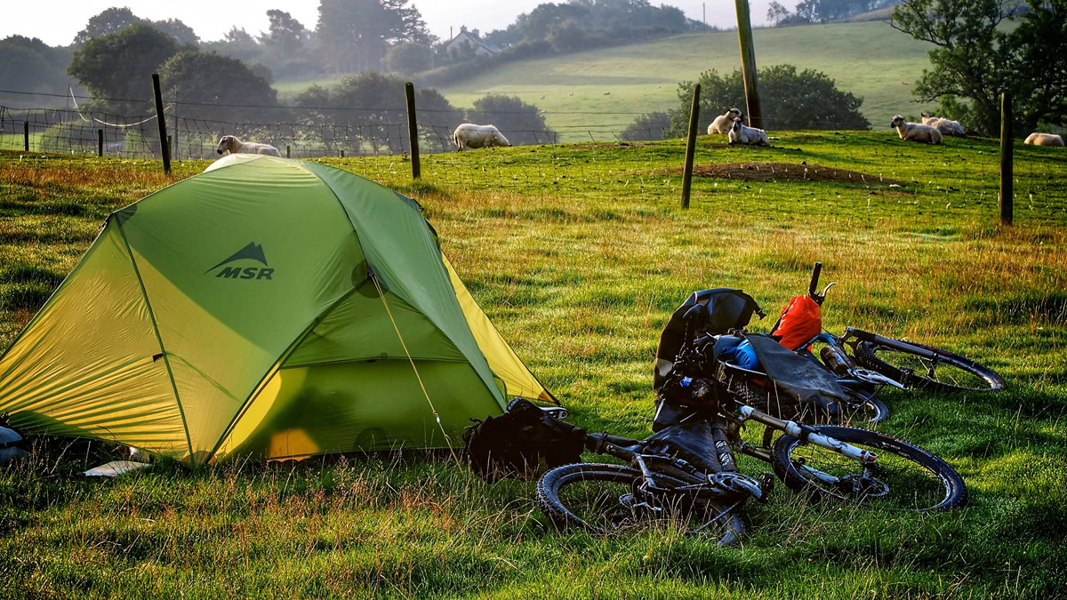
Camping
Food/H2O
Trail Notes
Resources
- Smooth singletrack descents through purple heather followed by calf-busting pushes up steep off-camber rock outcrops, followed by grin-inducing technical downhills, provides a never ending rollercoaster.
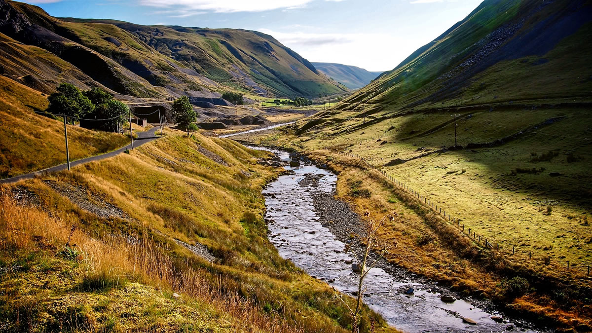
- The beautiful River Ytswyth valley, in early morning light, which holds remnants of the Cwm Ystwyth Mines, considered to be the most important non-ferrous mining site in Wales, dating back to 1500 BC, and which were probably worked by the Romans.
- A large bird of prey – a buzzard perhaps – silently dropping out of a tree and soaring, just a few metres above head height before silently peeling off back into the tree-line to be gone forever.
- The International Mountain Bike Association UK (IMBA UK) provides a downloadable guide to the route, and for less than £10, a printed guide and set of 5 waterproof maps, as well as .gpx files.
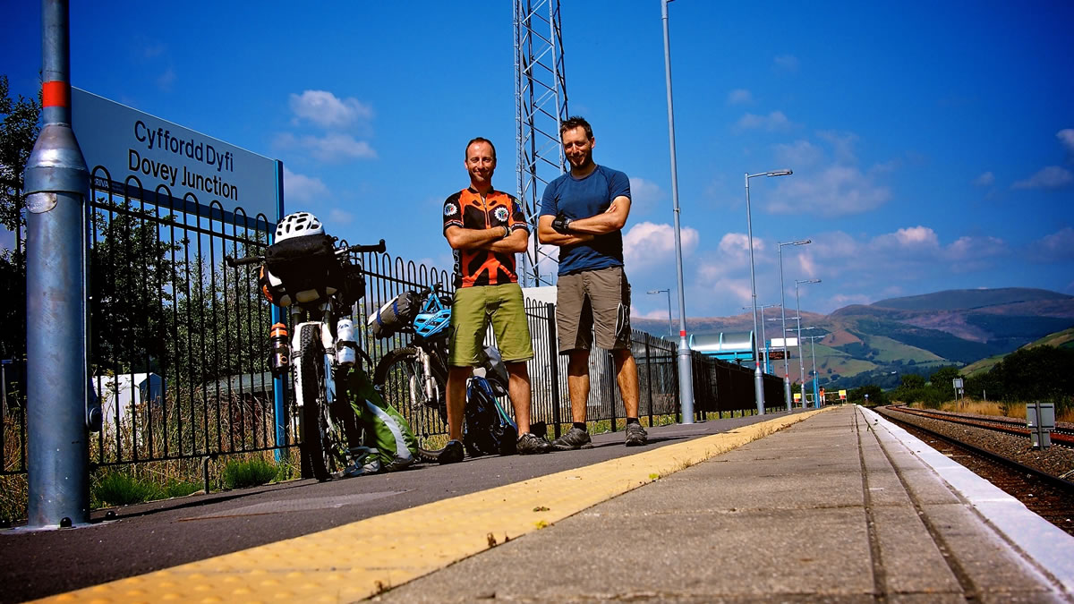
- There are train stations at either end of this trail. The train from Aberystwyth and Shrewsbury calls at the remote Dovey Junction station. From Shrewsbury there are trains towards south Wales which call at Knighton, so the simplest option might be to leave a vehicle at the start and return to pick it up by train. The trains are local services and generally take bikes without booking, although it’s worth double checking with the train companies, as policies do change. The journey back, including the change at Shrewsbury takes around 3 – 3.5 hours.
- There are also options for taxi minibuses from Machynlleth (5 miles by road from Dovey Junction) back to Knighton, and due to the meandering nature of the trail, it’s actually only 50 miles by road between the two towns so it’s entirely possible to use two vehicles, and leave one at each end.
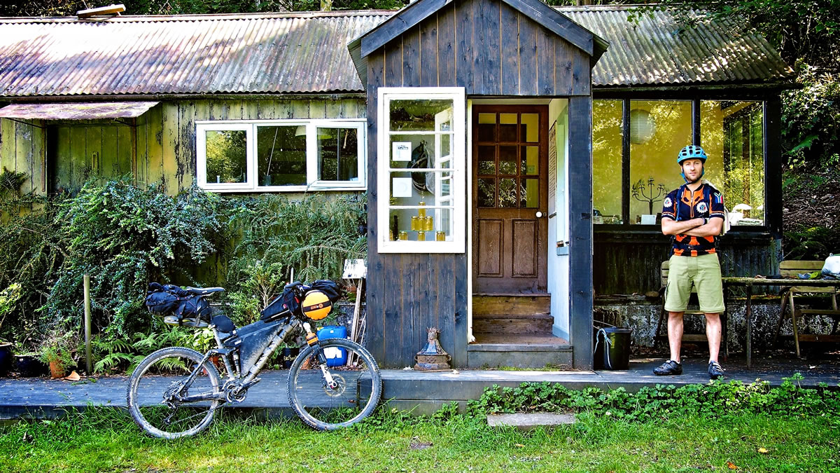
- There are a number of hotels and guest houses at Knighton. Despite the remoteness of some sections of the trail, there are lots of accommodation options en route, including guest houses and campsites.
- Wild camping is technically not allowed in England and Wales without permission from the landowner, so ask permission, and if asked to move on by the landowner, you should respect their wishes.
- The IMBA guide gives a comprehensive list of accommodation options and contact details.
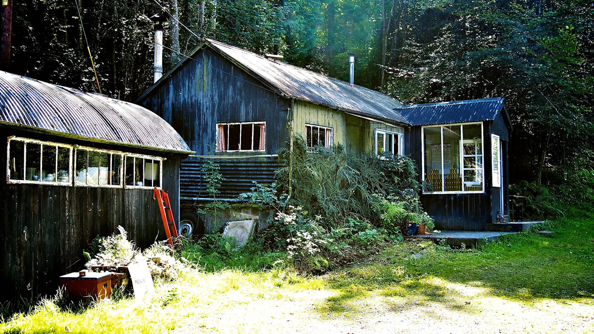
- Similarly, there are plenty of pubs and shops in the towns and villages along the route, and if you time things carefully you could manage a pub lunch and a beer each day!
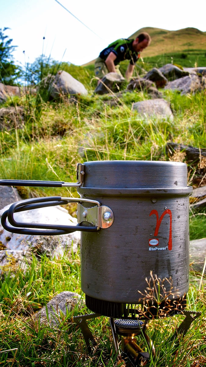
- Equally you can carry your own supplies, blast through the towns and eat up in the hills.
- Its Wales, so there is water everywhere, but so are the sheep, so any water you get from natural sources will need to be treated before drinking.
The International Mountain Bike Association UK (IMBA UK) has a guide for the route, which proposes breaking the journey down into three days, staying in pubs or guest houses each night. With overnight bivvy gear it’s possible to be much more flexible and ride the route in two days, or perhaps four shorter days.
The 3 Day Option
There’s also an Individual Time Trial for the route with the fastest record currently showing as 10 hours, 18 minutes, on a singlespeed (!). The original, and more relaxed, three day option is roughly as follows:
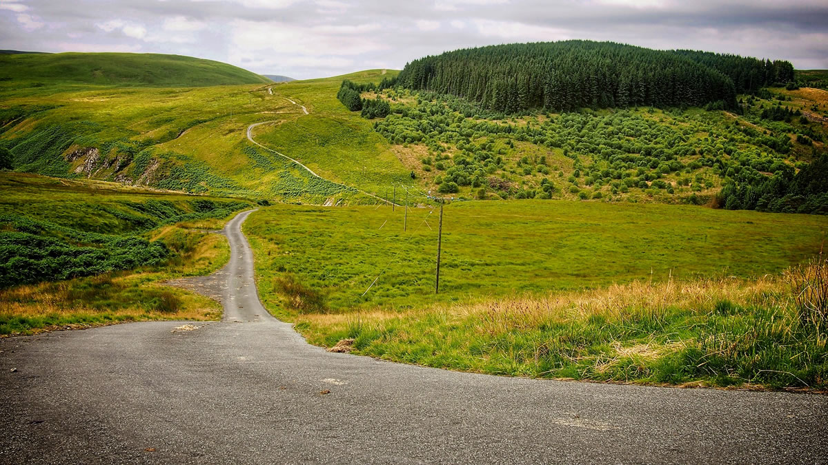
The trail leaves Knighton on quiet lanes, heading initially towards Knucklas and then the first climb to Beacon Hill. Ride along ridge roads with lovely views towards Stanky Hill, before descending to Llanbadarn Fynydd for a pub lunch, followed by the first river crossing of the journey. Onto Bwlch Sarnau and over the top of Abbeycwmhir Forest, along singletrack lined with purple heather and into Rhayader, with its campsite, tea shops and bike shop.
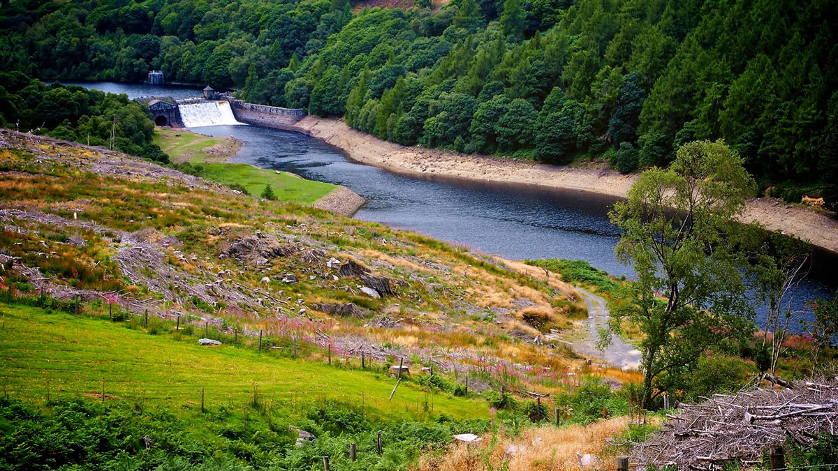
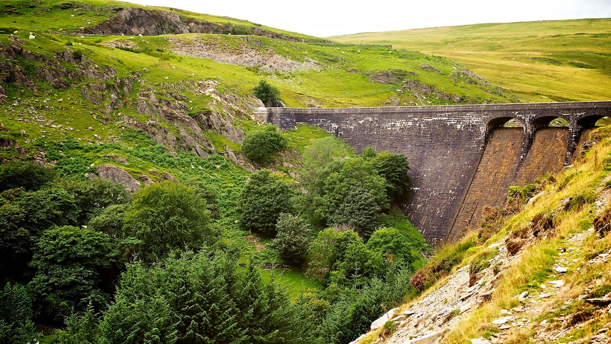
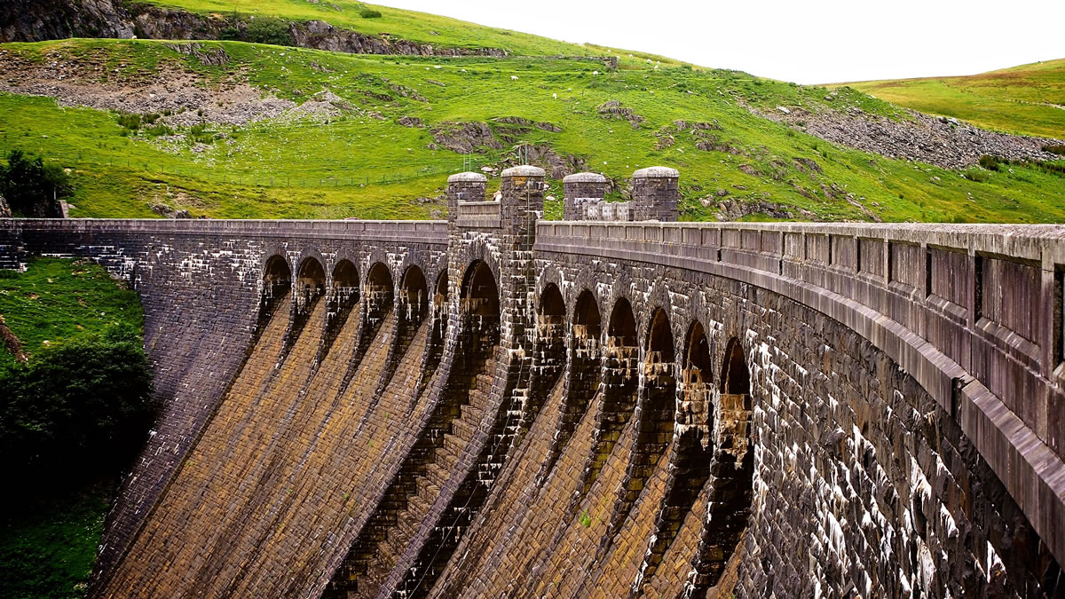
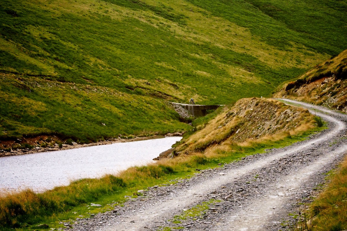
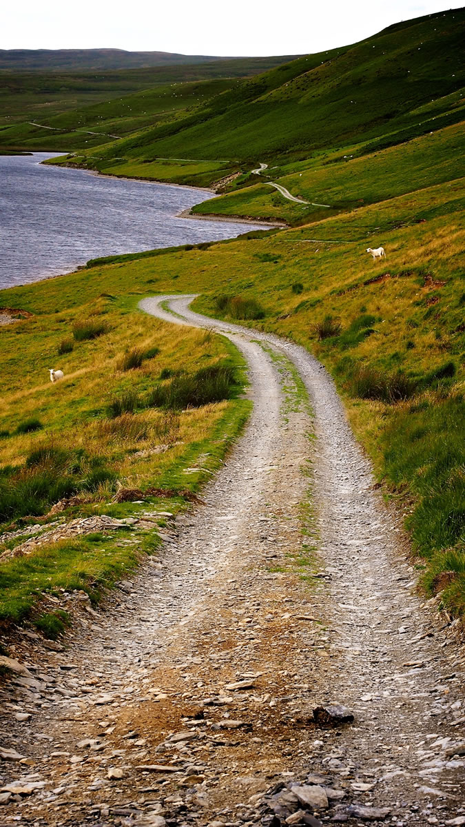
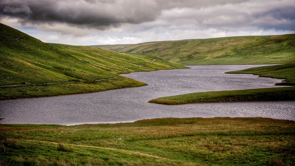
Day two feels bigger, with hard climbs and remote scenery, initially heading out into the Elan Valley. Climbing alongside a river towards the Claerwen Dam on a rocky trail, as the valley flattens out a little the trail becomes entangled in a network of flooded ditches. Depending on the water level you may have to haul the bike across the channels of water, slowly trying to pick a route forwards. Much of the morning is then spent riding tracks skirting the reservoir, which provides clean water to Birmingham, England’s second city. The route climbs and descends fingers of land jutting out into the water, and then crosses streams and passes lakes around Teifi Pools before turning back towards the Elan Valley and Tarenig Forest, and on towards Llangurig towards the end of the day.
From Llangurig the trail takes you towards Hafren Forest, a haven for Crossbills, Red Kite, Merlin and Goshawks, climbing towards Staylittle and on towards the Glynders Way long distance footpath. Descending from Foel Fadian on swooping downhills into the valley, you hit the Mach 2 trail, part of the Machynlleth trail centre network before dropping further down through the forest onto the coast road. A short ride down a lumpy track takes you to the Dyfi Estuary mudflats, and the remote Dovey Junction train station.
Film of the trip


Terms of Use: As with each bikepacking route guide published on BIKEPACKING.com, should you choose to cycle this route, do so at your own risk. Prior to setting out check current local weather, conditions, and land/road closures. While riding, obey all public and private land use restrictions and rules, carry proper safety and navigational equipment, and of course, follow the #leavenotrace guidelines. The information found herein is simply a planning resource to be used as a point of inspiration in conjunction with your own due-diligence. In spite of the fact that this route, associated GPS track (GPX and maps), and all route guidelines were prepared under diligent research by the specified contributor and/or contributors, the accuracy of such and judgement of the author is not guaranteed. BIKEPACKING.com LLC, its partners, associates, and contributors are in no way liable for personal injury, damage to personal property, or any other such situation that might happen to individual riders cycling or following this route.
Please keep the conversation civil, constructive, and inclusive, or your comment will be removed.