


Tour de Chequamegon, Wisconsin
Distance
107 Mi.
(172 KM)Days
3
% Unpaved
88%
% Singletrack
6.5%
% Rideable (time)
100%
Total Ascent
3,753'
(1,144 M)High Point
1,644'
(501 M)Difficulty (1-10)
3?
- 2Climbing Scale Easy35 FT/MI (7 M/KM)
- -Technical Difficulty
- -Physical Demand
- -Resupply & Logistics
Contributed By

Dave Schlabowske
Guest Contributor
A former photojournalist who started his career at a Sandinista newspaper in Bluefields, Nicaragua, Dave is now the Deputy Director for the Wisconsin Bike Fed, a statewide bicycle advocacy organization. You can see more of his work in the digital version of their magazine here.
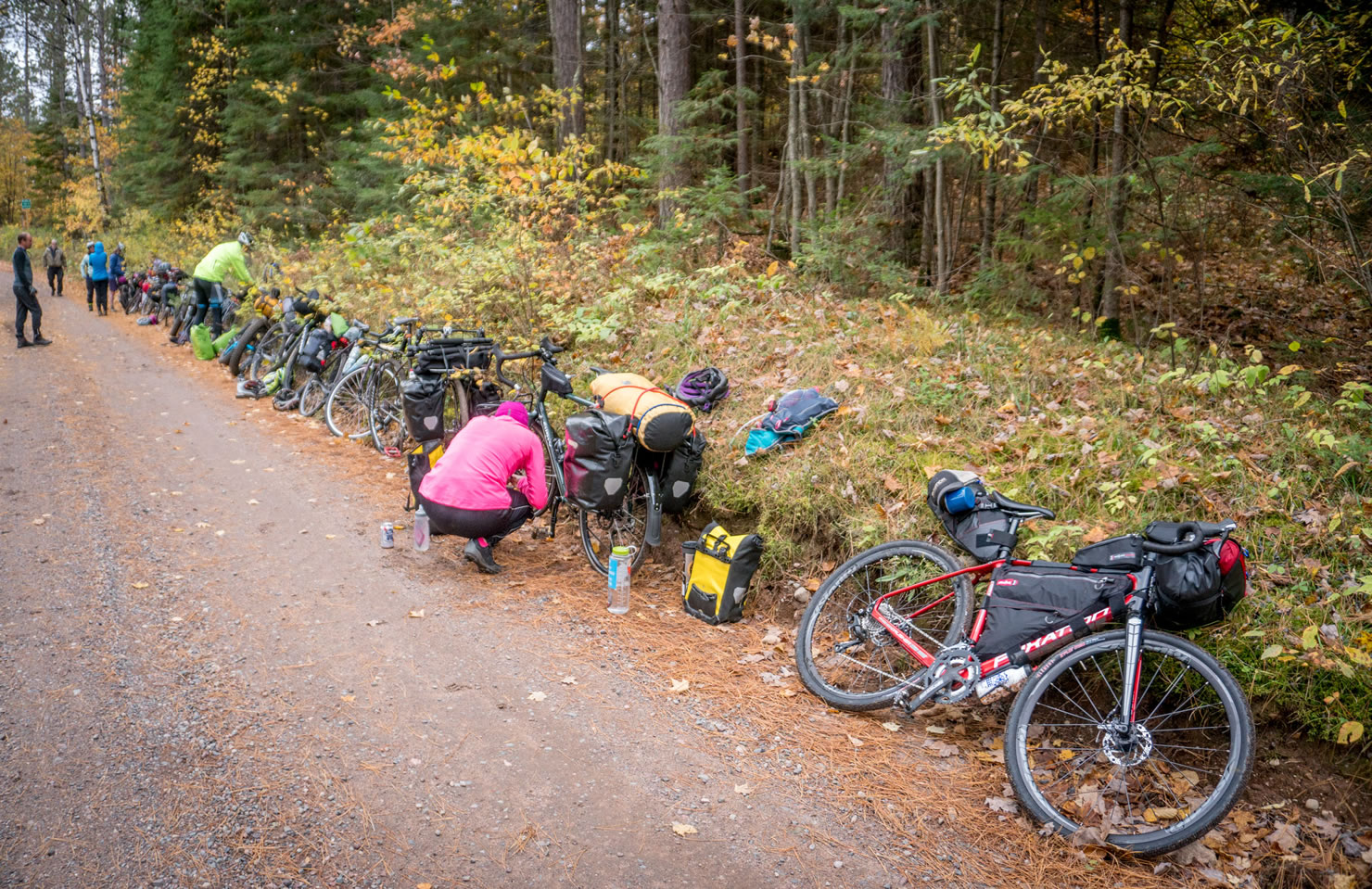
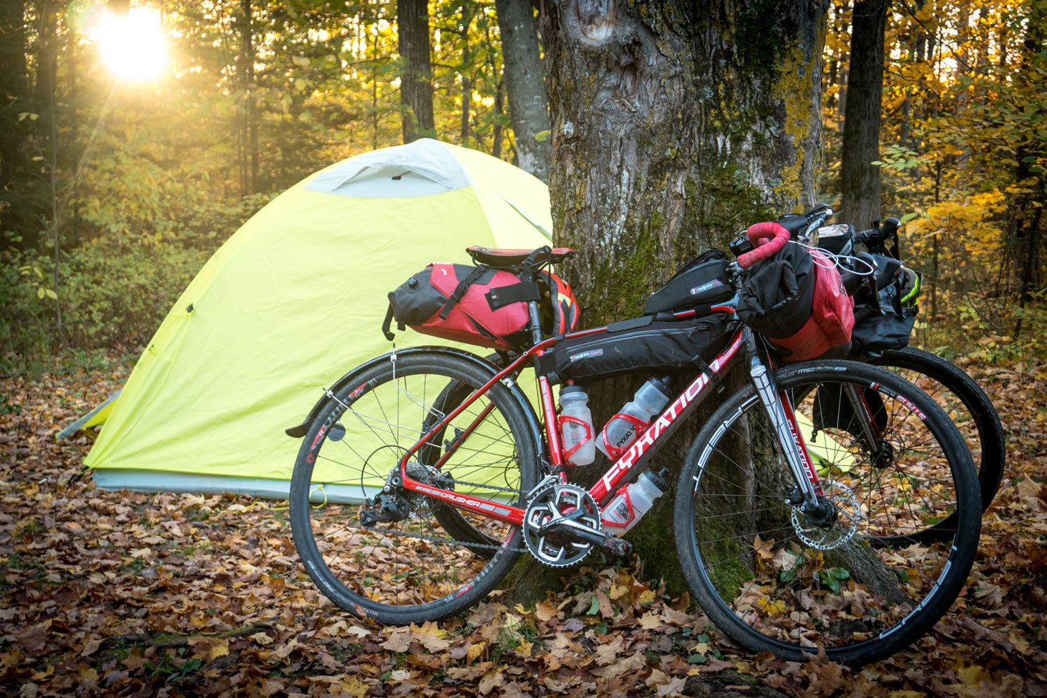
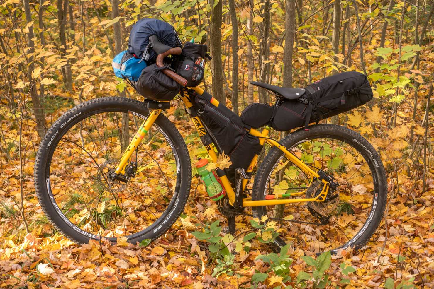
The Tour de Chequamegon was developed with Fyxation Bicycle as a way to introduce bikepacking to uninitiated Wisconsin Bike Fed members. Everyone on the inaugural Tour de Chequamegon Bikepacking Weekend loved the route, so we decided it was perfect to literally put Wisconsin bikepacking on the map!
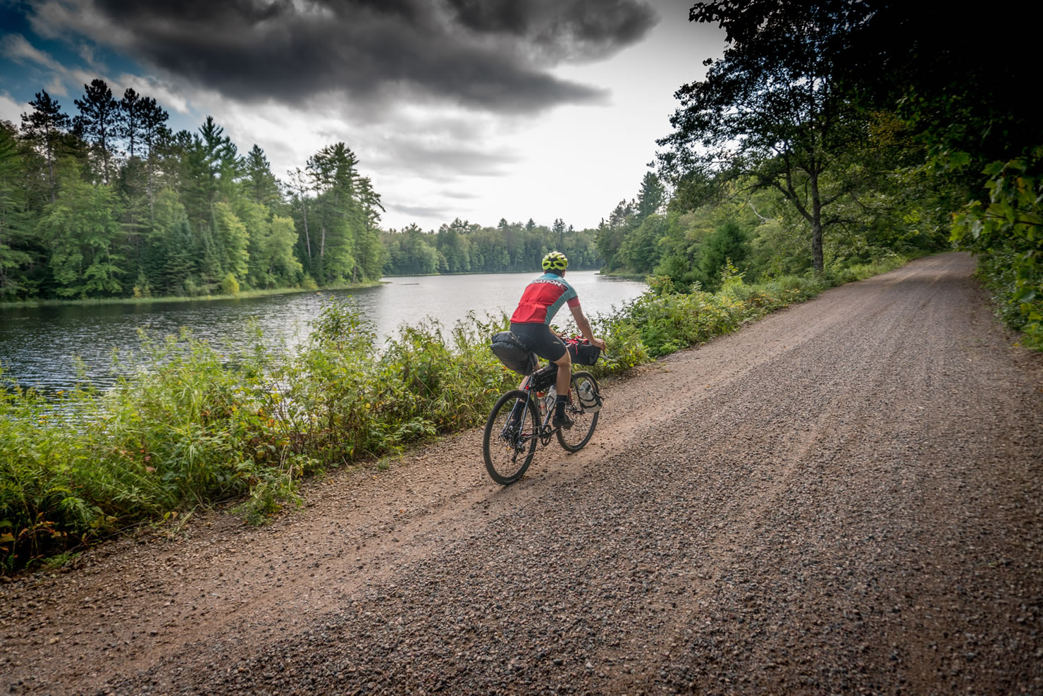
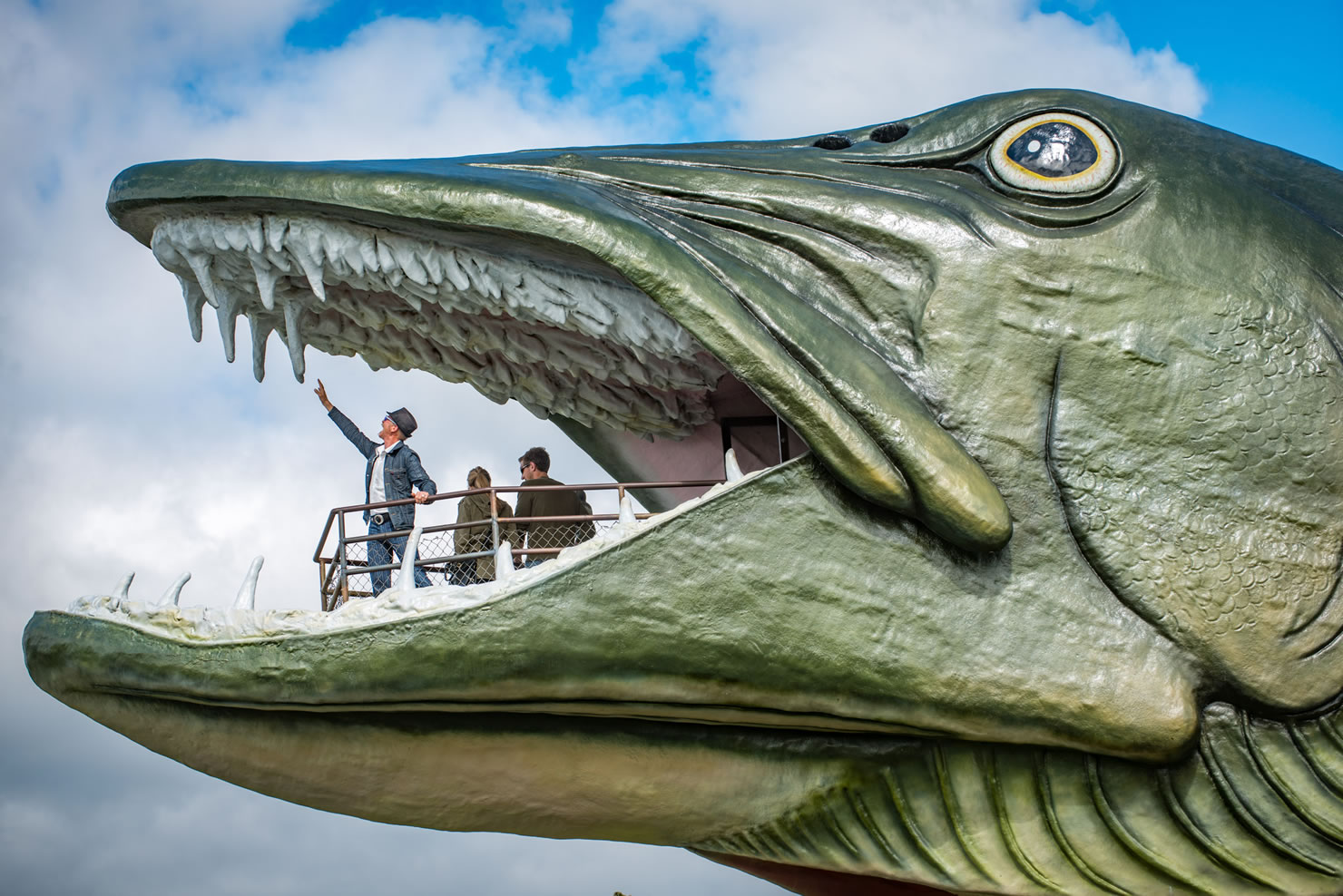
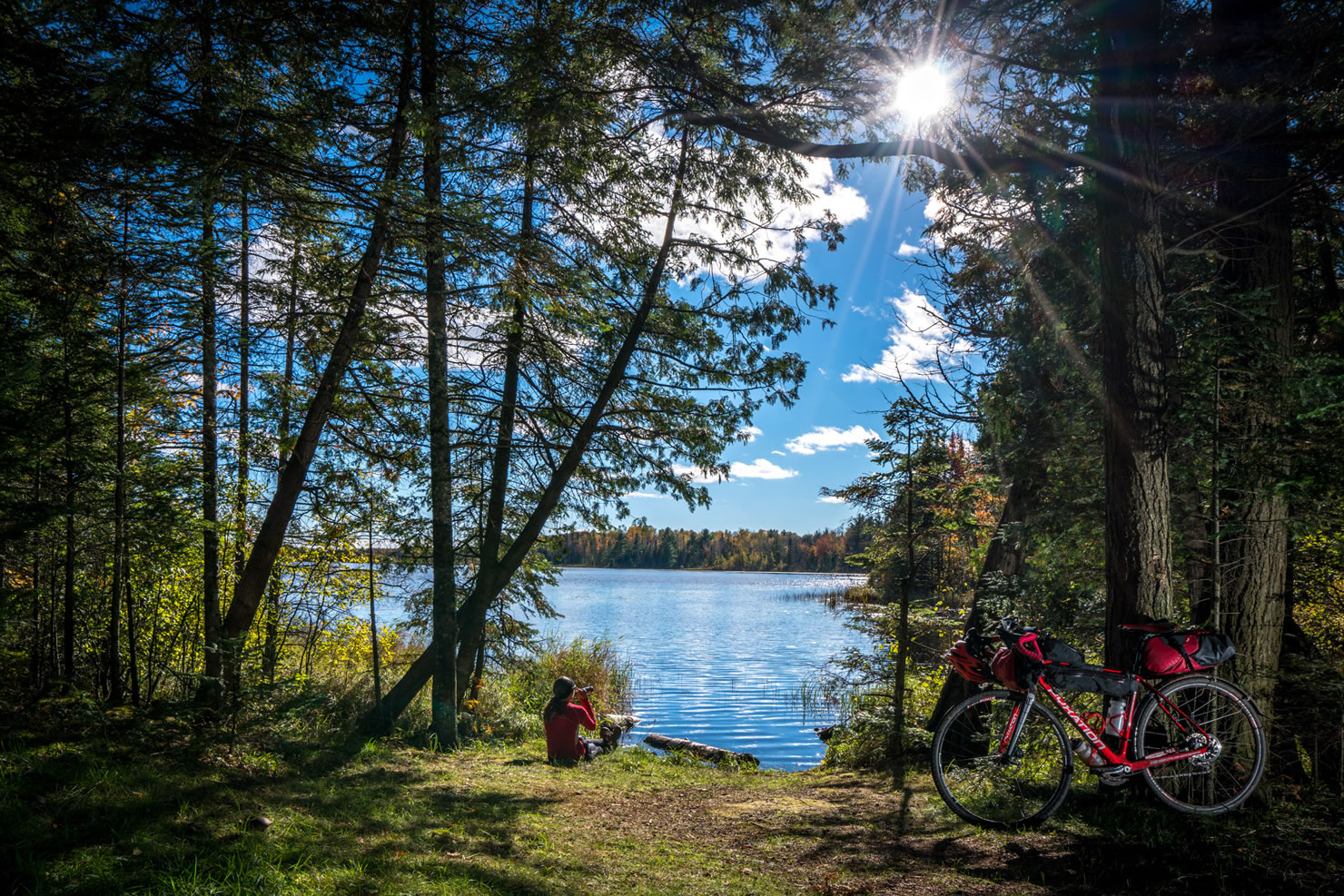
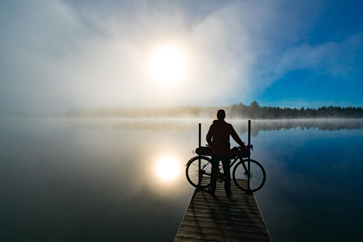
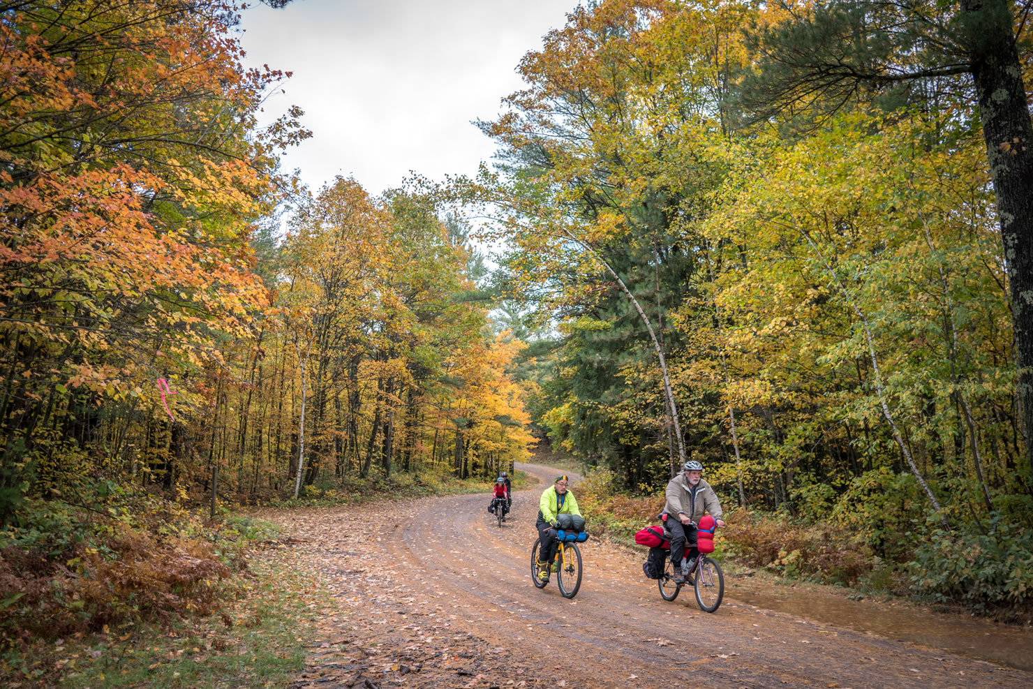
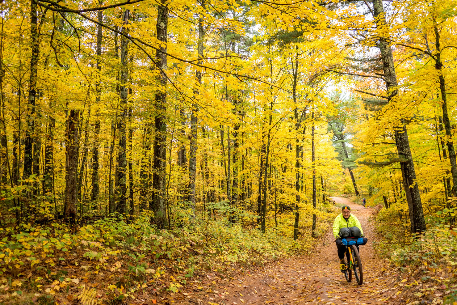
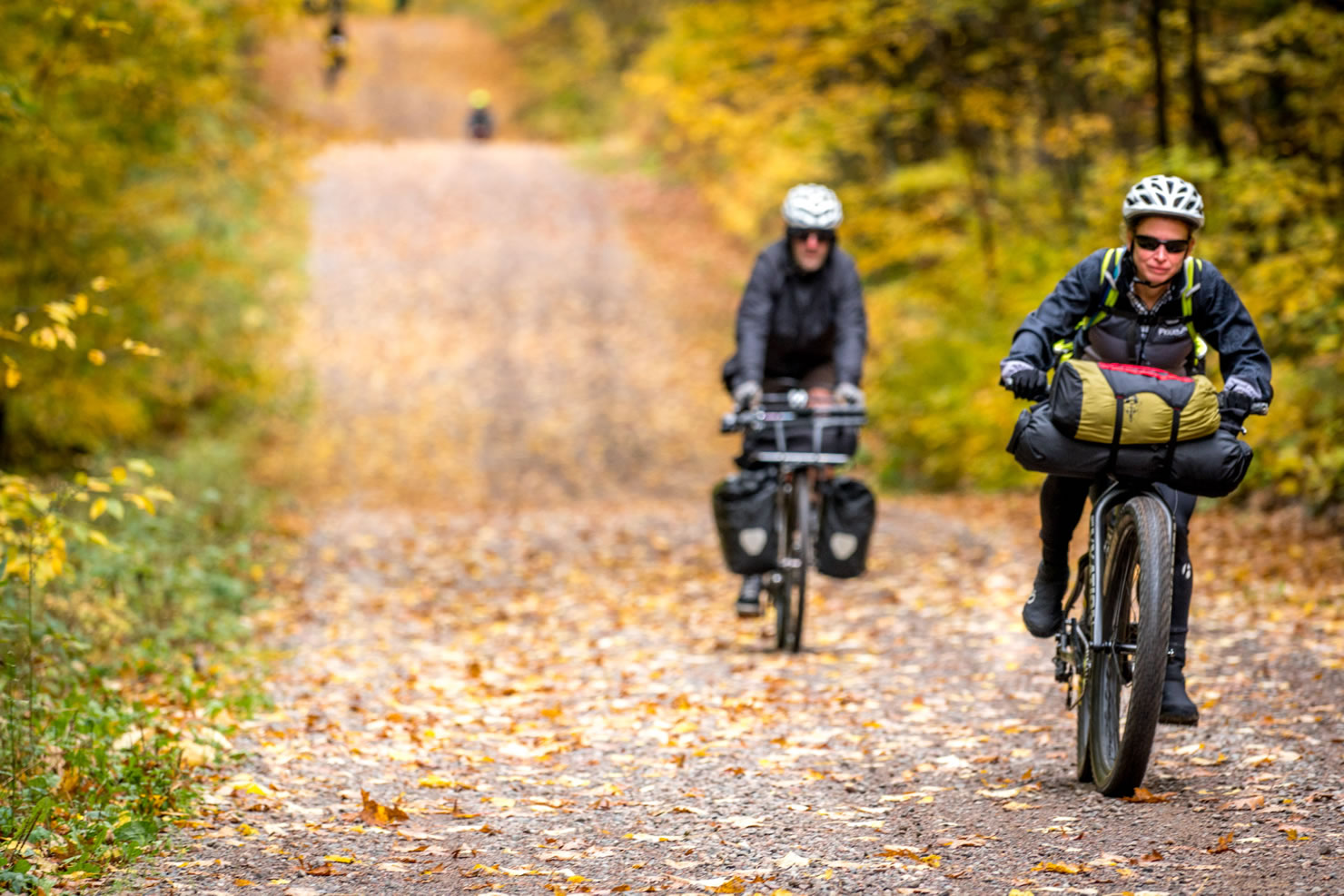
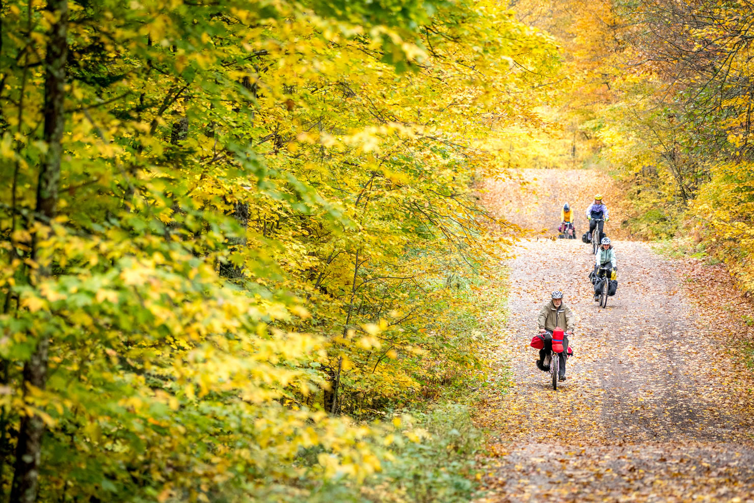
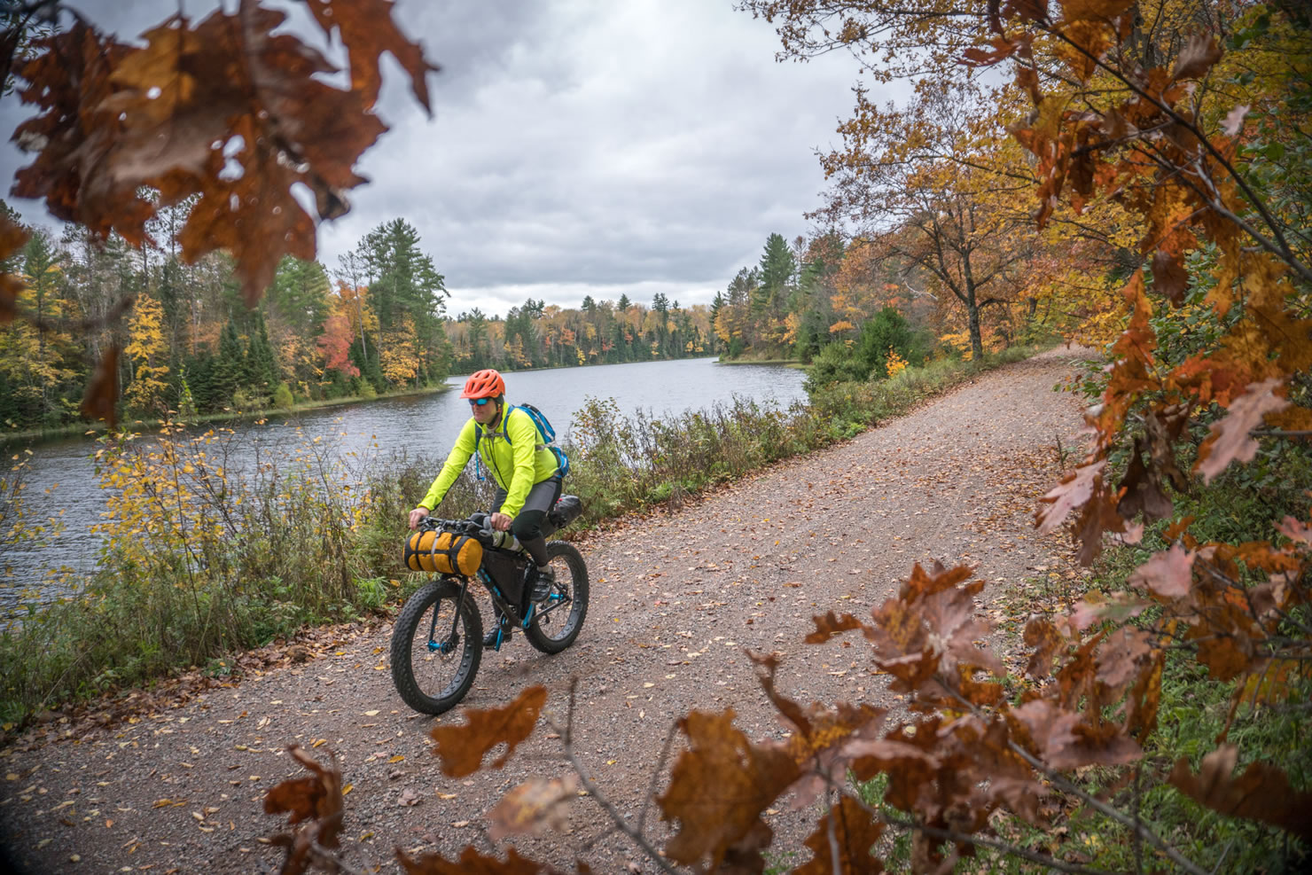
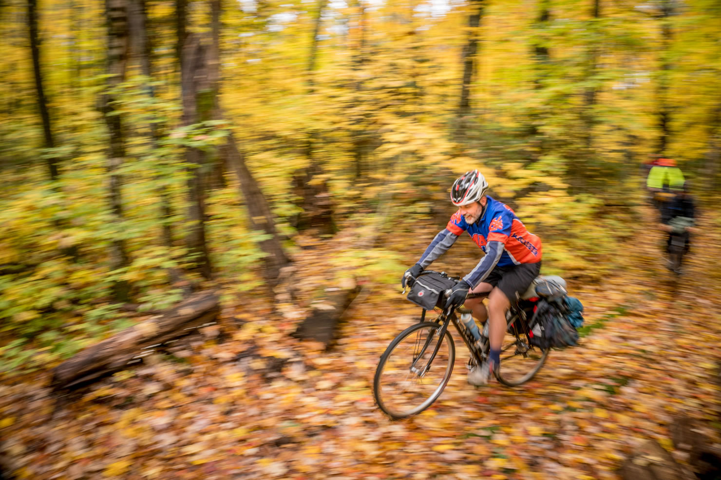
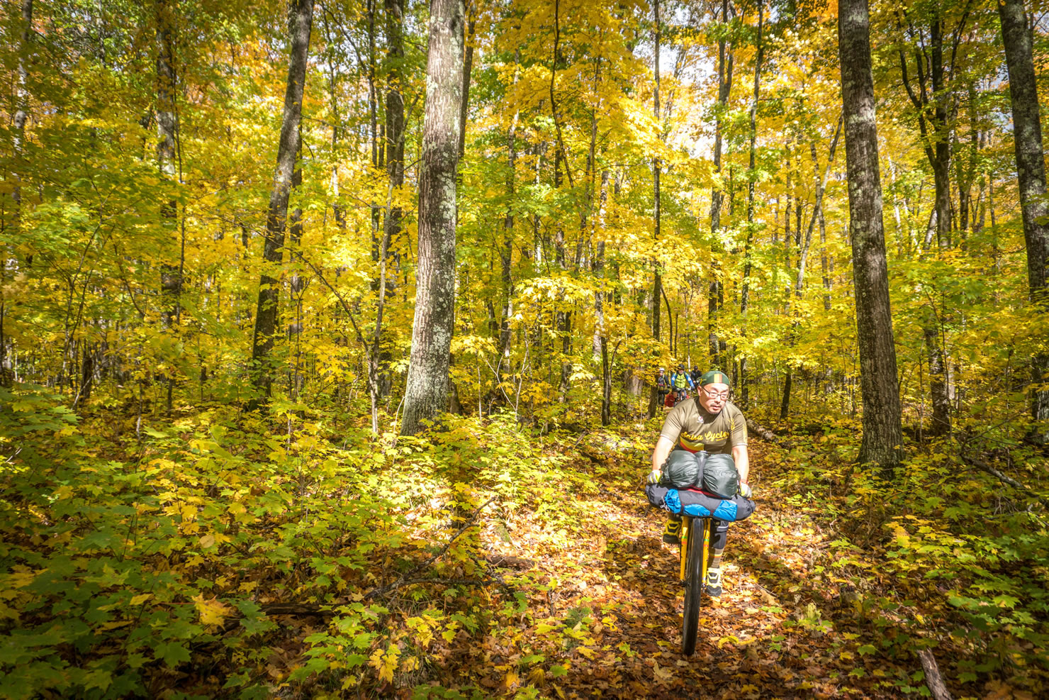
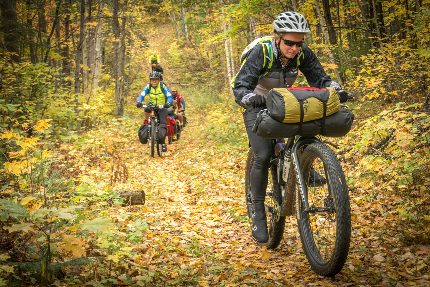
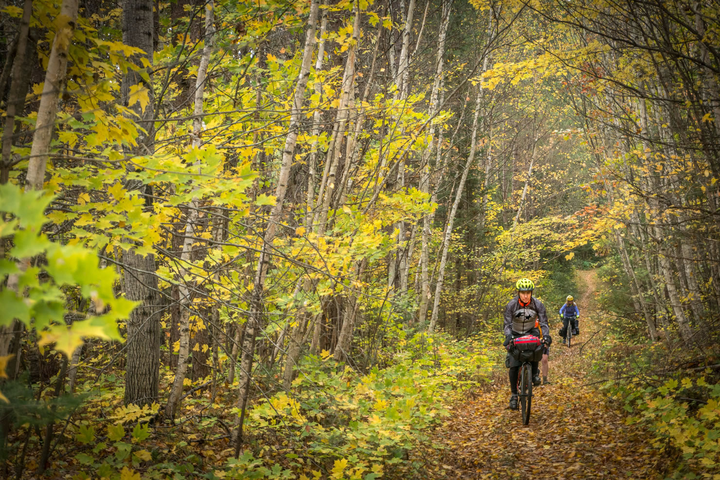
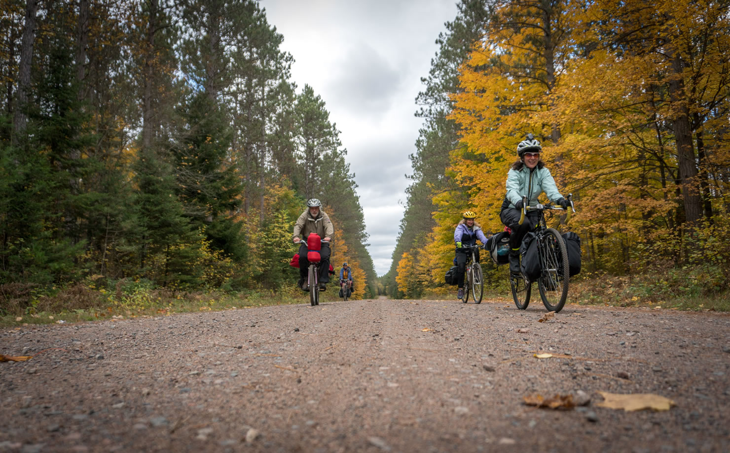
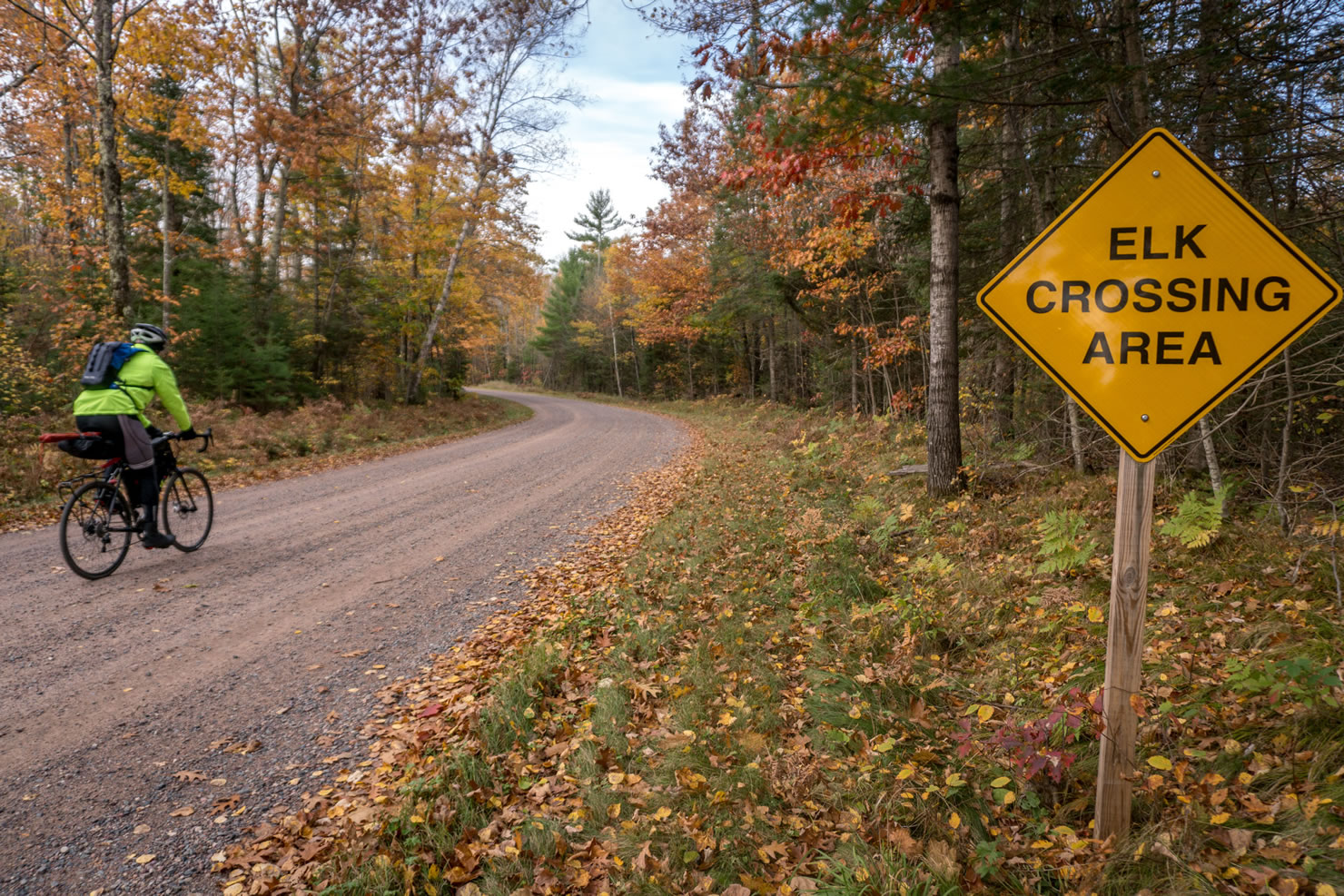
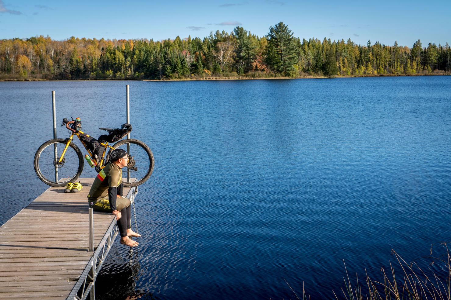
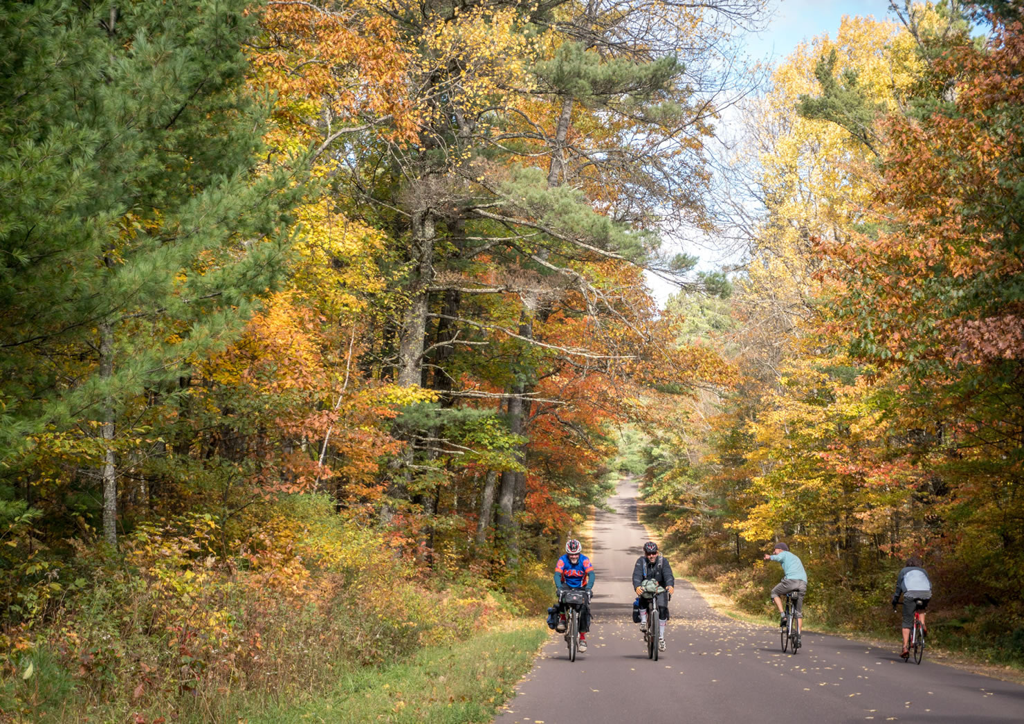
The 1.5 million acre Chequamegon-Nicolet National Forest is most famous as the home of the American Birkebeiner, the Fat Bike Birkie, the Fat Tire 40, IMBA Epic-rated Chequamegon Area Mountain Bike Association trail network and of course the world’s largest musky at the Freshwater Fishing Hall of Fame. What is less known is that the virtually car-free forest roads through the rolling, unglaciated area, combined with 47 well-maintained campgrounds scattered around the forest make for a great bikepacking destination.
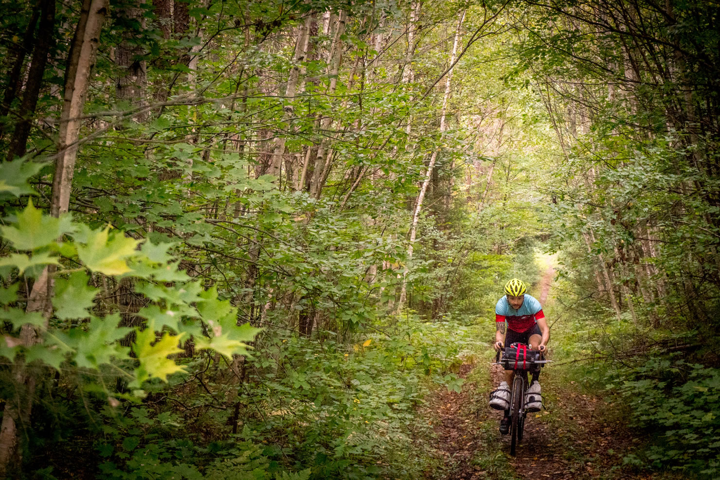
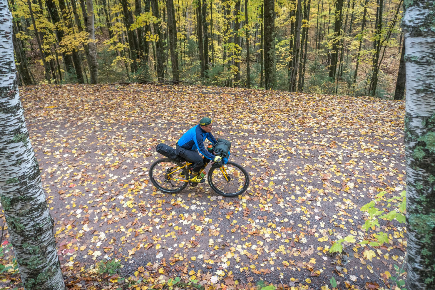
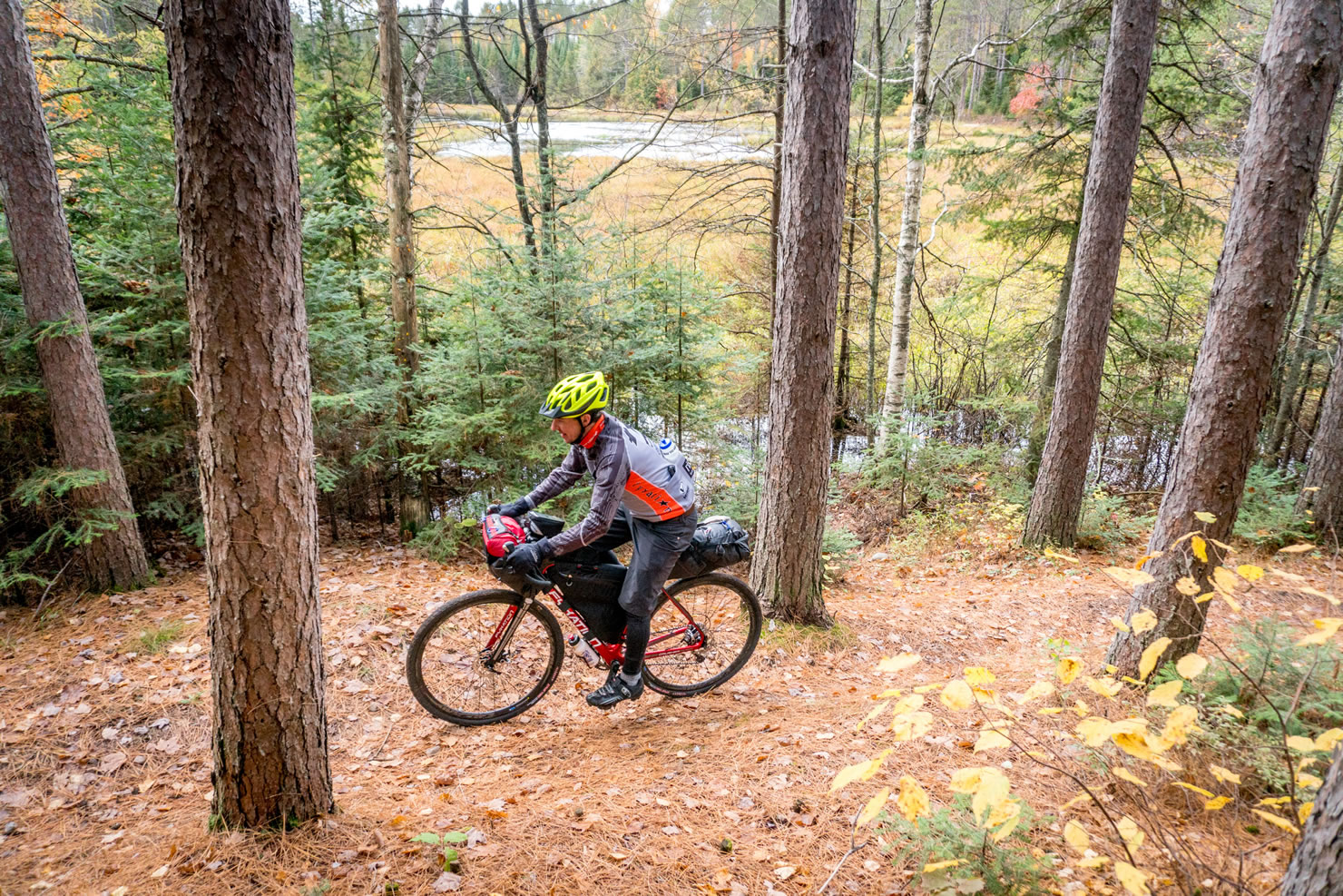
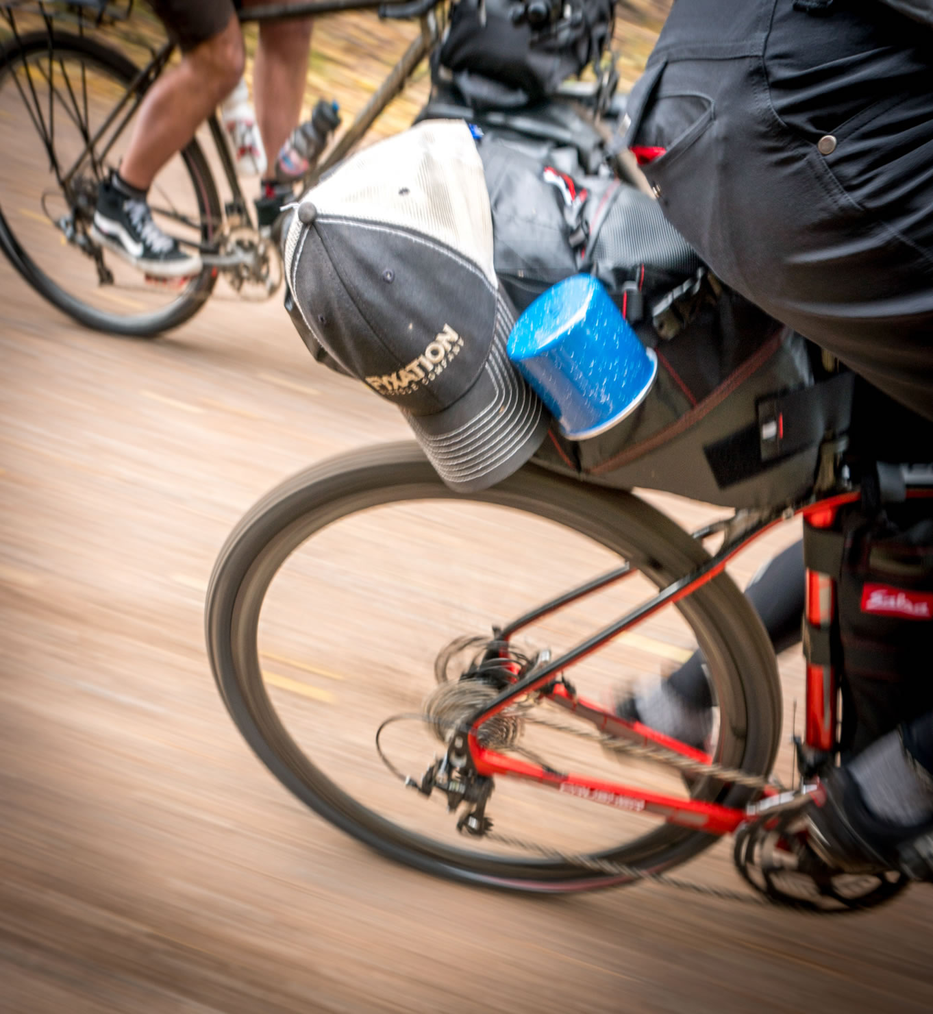
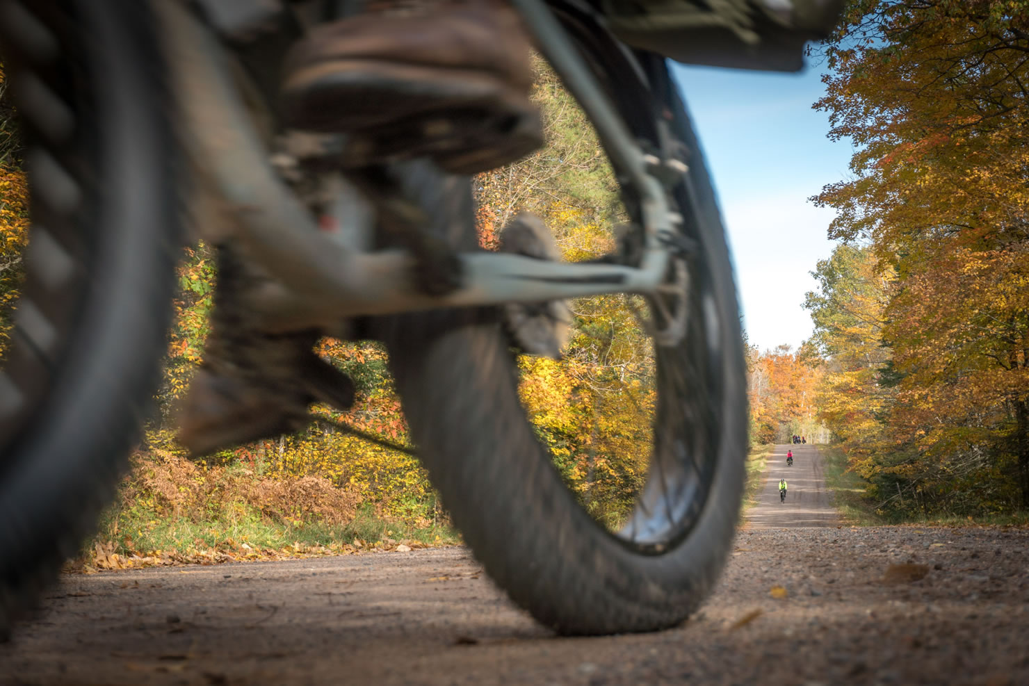
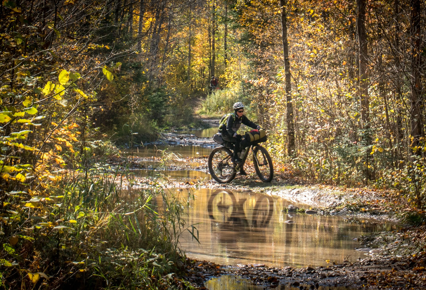
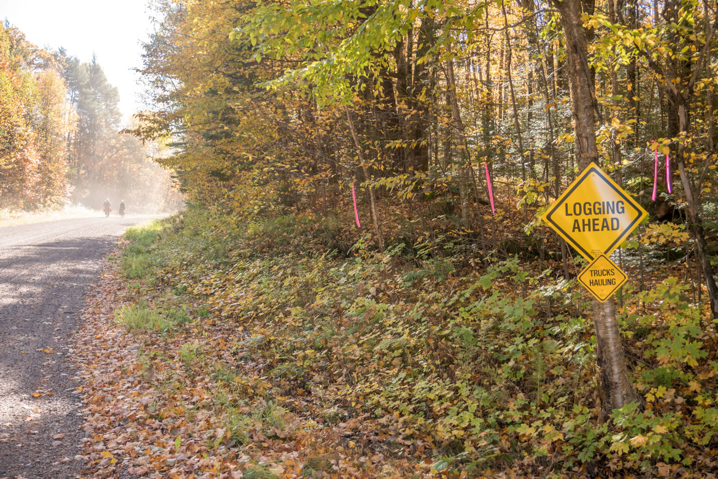
This 110 mile route is over 80% gravel roads, most of which are well maintained and fairly hard-packed. If you ride just after a heavy rain, which can wash out the crusher fines on the hills, expect to find exposed baby head rocks. To give riders a taste of the other riding options in the area, we included 3 1/2 miles of rough, looser ATV trail, a similar length of easy CAMBA single track and the last 12 miles are on low-traffic, rolling, freshly-paved town roads. Think of the ATV trail and single track as the amuse-bouche, gravel as the main course, and the pavement as dessert.
This route is a great urban escape that allows you quick access to wilderness, but the nearby towns of Hayward and Cable make it easy to stock up on anything you forgot to bring along.


Submit Route Alert
As the leading creator and publisher of bikepacking routes, BIKEPACKING.com endeavors to maintain, improve, and advocate for our growing network of bikepacking routes all over the world. As such, our editorial team, route creators, and Route Stewards serve as mediators for route improvements and opportunities for connectivity, conservation, and community growth around these routes. To facilitate these efforts, we rely on our Bikepacking Collective and the greater bikepacking community to call attention to critical issues and opportunities that are discovered while riding these routes. If you have a vital issue or opportunity regarding this route that pertains to one of the subjects below, please let us know:
Highlights
Must Know
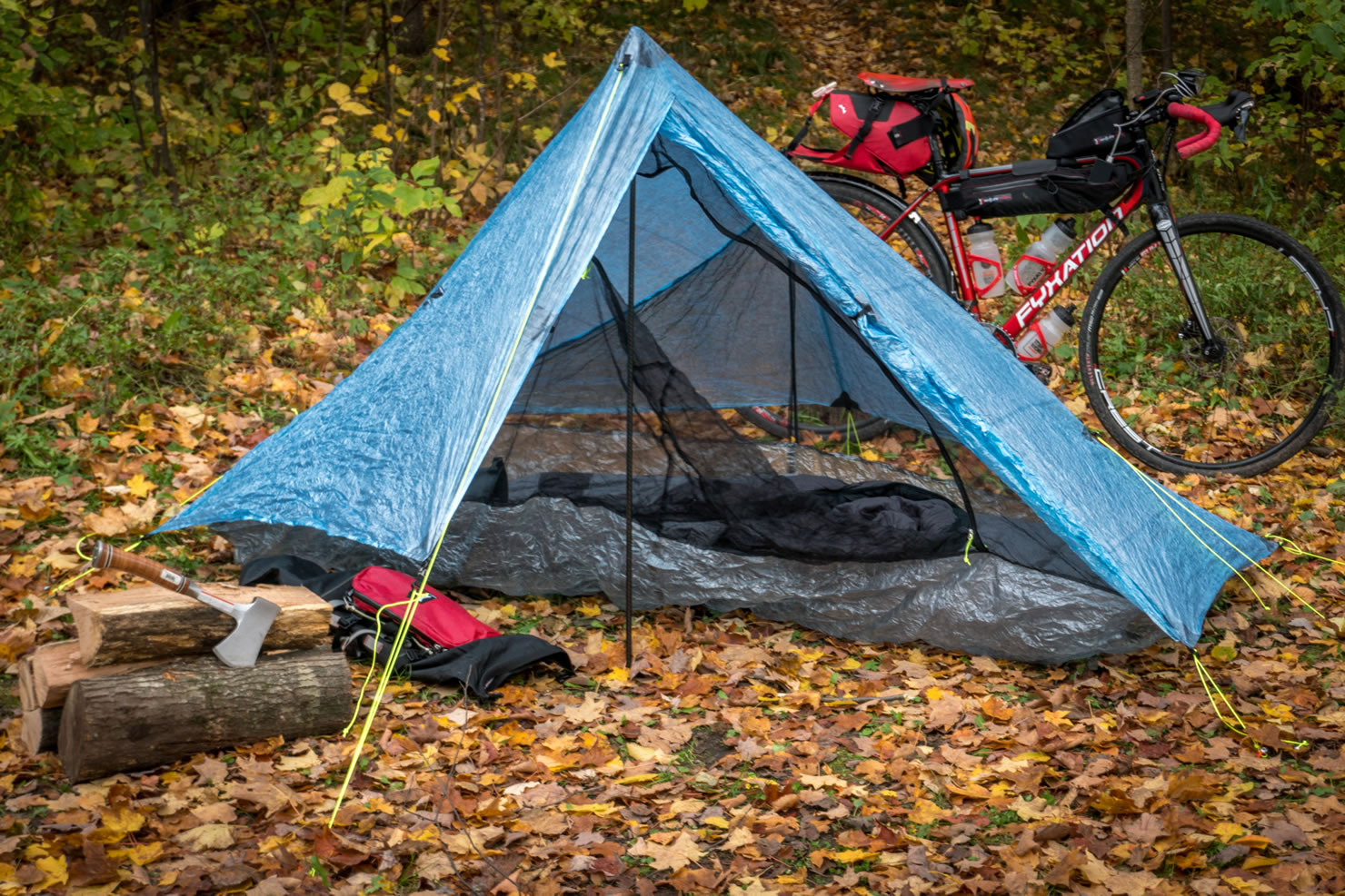
Camping
Food/H2O
Trail Notes
- Well maintained gravel roads with many options to lengthen or shorten your route.
- Hundreds of miles of CAMBA single-track for those who want to mountain bike instead or hit the trails after you make camp.
- The area is a year-round active sports destination, with decades of tradition so the area businesses cater to people who like those activities.
- Small towns with all the amenities you are looking for, from great bike shops to craft beer and good food and coffee.
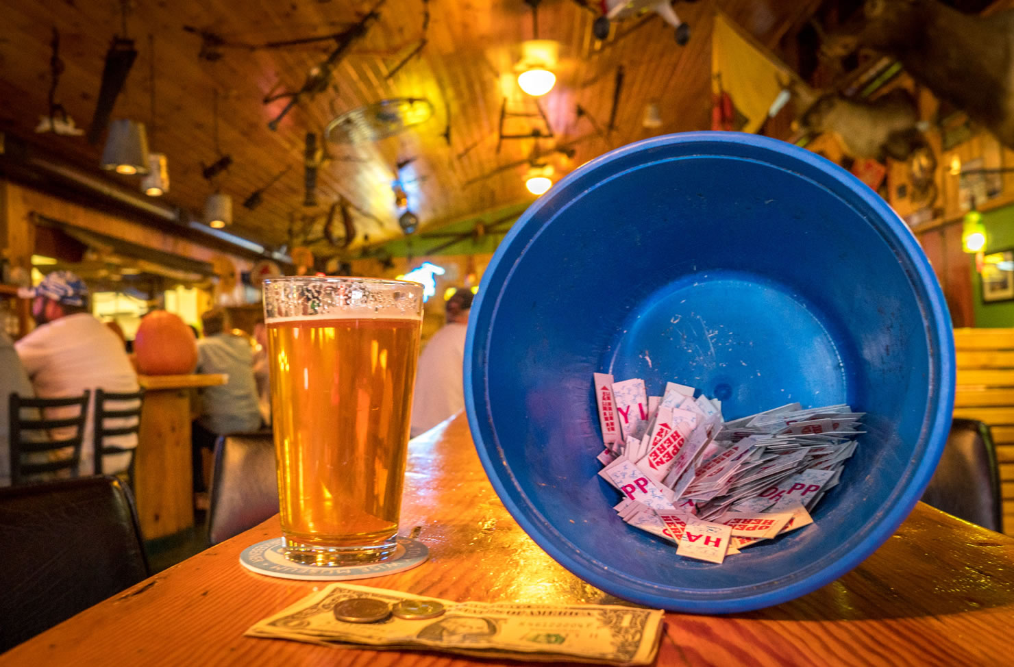
- Must stop: Freshwater Fishing Hall of Fame and the Moccasin Bar in Hayward. Gary Fisher loves them, you will too.
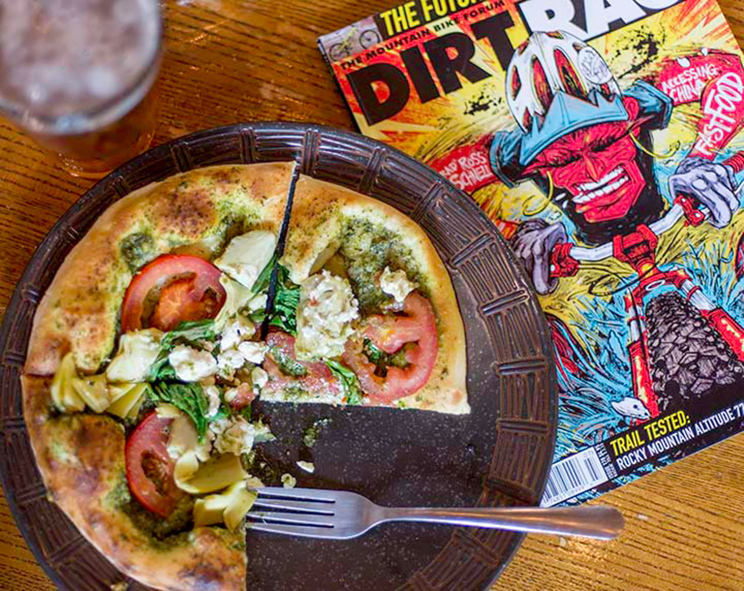
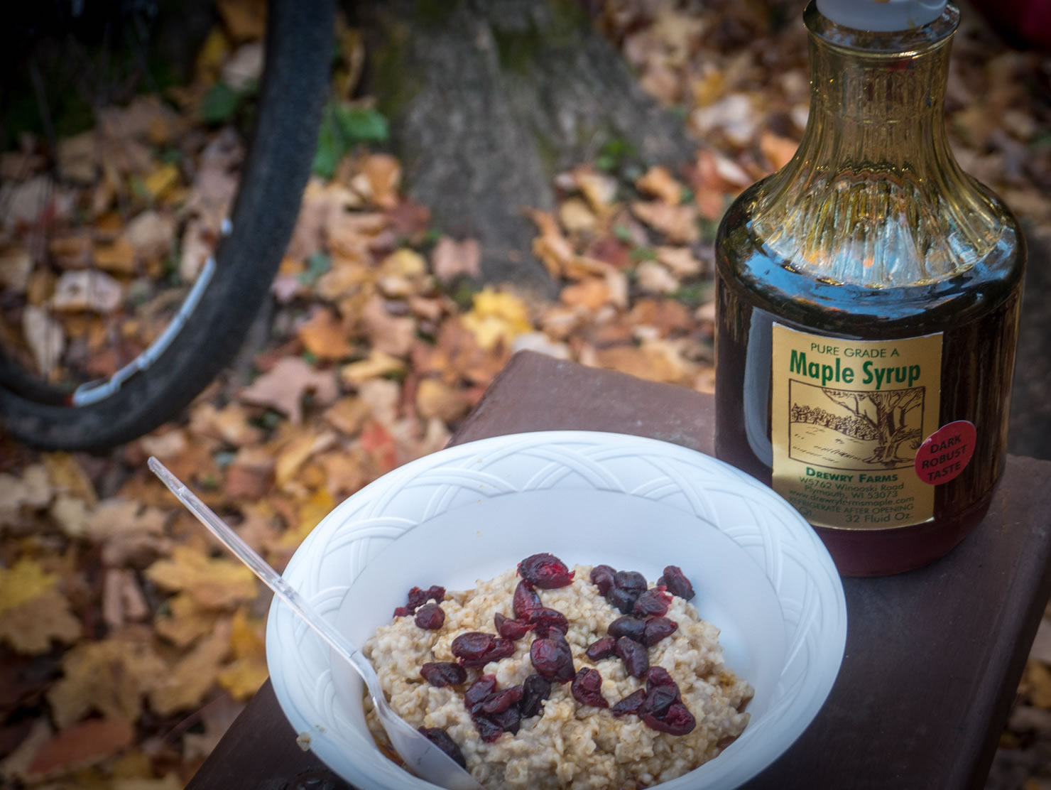
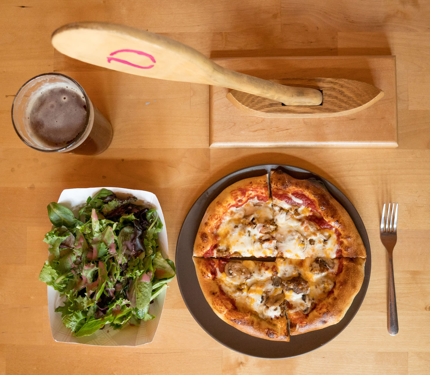
- The River’s Eatery wood-fired pizza in Cable is off-the hook good and has vegi and gluten free options. I suggest the red-cabbage sauerkraut and pulled pork. The owners are big supporters of cycling and skiing, so the walls are covered by bib numbers and jerseys from famous pro athletes who have been there. It is in the back of the Ideal Market, 43455 Kavanaugh Rd, Cable, WI 54821. The Ideal Market also houses a small bookstore featuring many local authors and sells great coffee, sandwiches, and organic foods.
- Maps: The forest service has maps of the ranger districts with all the forest and unimproved roads. CAMBA maps of the area also include the mountain bike trails and some ride-able ATV/snowmobile trails.
- You will likely not have cell phone service outside Cable or Hayward, so download RideWithGPS or other digital maps to your phone or GPS device before you leave.
- Best time to go: October when the fall colors are in full effect
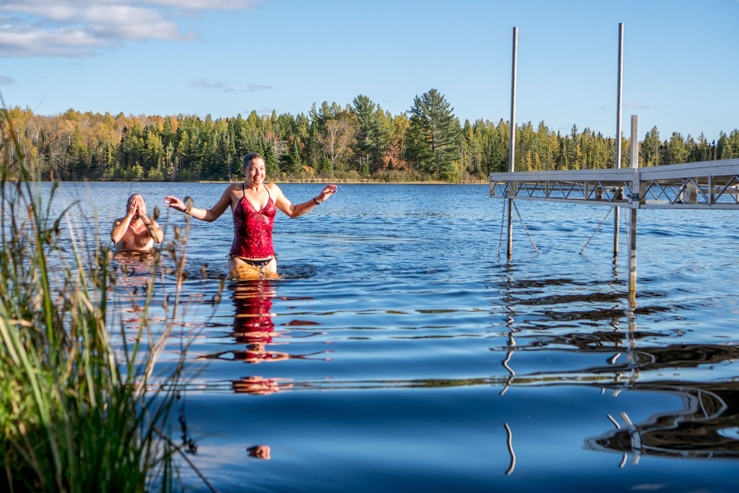
- Best time to go if you want to swim: July-August, but black flies and mosquitoes are in abundance during the summer months so bring DEET (can you hear the black flies laughing?).
- November is also a good time to go, but the Wisconsin’s nine-day rifle season for deer hunting begins the Saturday before, so avoid that or wear blaze orange when you ride.
- If you want to come up the day before and spend the night at the Lenroot Lodge in Seeley, check in at the bar next door at the Sawmill Saloon.
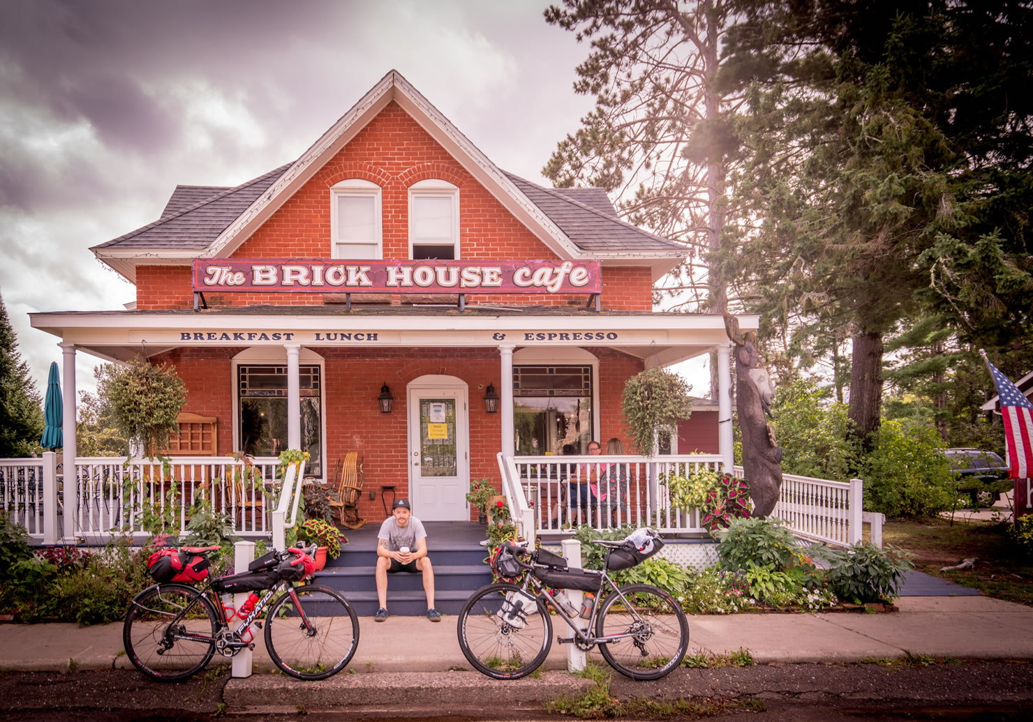
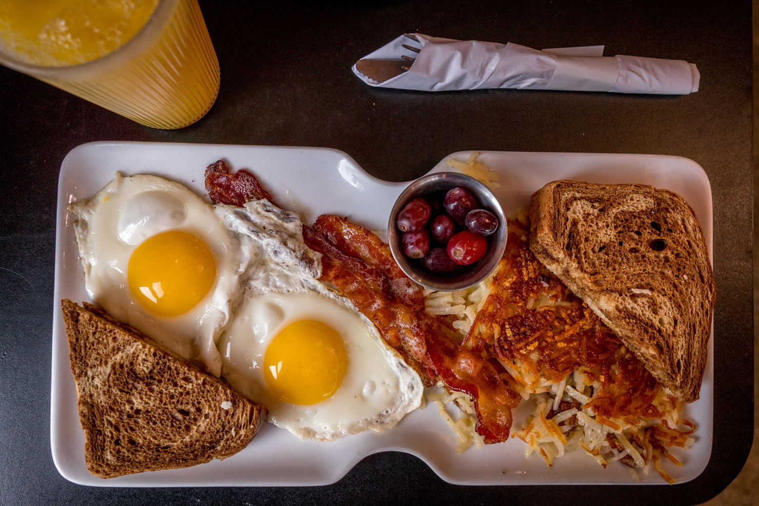
- You can jump on this route directly from the Seeley and leave your car there, or do what we did and have huge, delicious breakfast at the Brickhouse Cafe in Cable, six miles north and leave your car in the gravel municipal parking lot behind the cafe. Heather from Brickhouse can also prepare a food to go, wrapped in foil for you to pack on your trip.
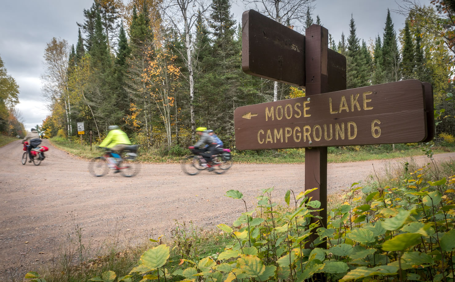
- Moose Lake and East Twin Lake Campgrounds on this route are on the small side and can fill up, so make reservations. 1-877-444-6777 or make on-line reservation
- There are 47 campsites in the Chequamegon-Nicolet forest if you want to make for a longer trip and expand our suggested route.
- Most reservations can be made online between May 1 and September 31st. You can’t make reservations after September, but the sites typically don’t fill up in October or November.
- If you go in November, check with the ranger district to see if the wells and toilets are still open. They shut them down after it begins to freeze.
- Campsites close and are no longer maintained after November
- The campsites have wells and pit toilets, some have cabins. The two we stayed at did not have camp hosts or sell firewood. You can probably scavenge for wood in the forest just outside the campground.
- Wisconsin has a state rule that you can’t be turned away for camping if you arrive on foot or on a bike, but these are national forests and when I asked about that, the rangers did not know about it.
- Just opened is Roam Adventure Basecamp, right near the popular CAMBA Seeley Trail Head. They cater to skiers and cyclists, with 30 campsites, winterized cabins, heated showers, a wood-fired sauna and even a bike-wash.
- Rondeau’s Shopping Center in Cable has a full grocery store on one side and a hardware and sporting goods store on the other.
- The Ideal Market in Cable has organic foods, great coffee, a cool bookstore with many
- New Moon Ski and Bike and Riverbrook Bike And Ski in Hayward are both great shops.
- Angry Minnow Brew Pub, 10440 Florida Ave, Hayward, WI 54843 sells samplers and fills growlers. I’m partial to Charlie’s Rye IPA.
- Lynn’s Custom Meats and Catering, 15695 N Old Hwy 63, Hayward, WI 54843, a great place to stock up on smoked sausage, jerky and preserved foods or even prepared sandwiches.


Terms of Use: As with each bikepacking route guide published on BIKEPACKING.com, should you choose to cycle this route, do so at your own risk. Prior to setting out check current local weather, conditions, and land/road closures. While riding, obey all public and private land use restrictions and rules, carry proper safety and navigational equipment, and of course, follow the #leavenotrace guidelines. The information found herein is simply a planning resource to be used as a point of inspiration in conjunction with your own due-diligence. In spite of the fact that this route, associated GPS track (GPX and maps), and all route guidelines were prepared under diligent research by the specified contributor and/or contributors, the accuracy of such and judgement of the author is not guaranteed. BIKEPACKING.com LLC, its partners, associates, and contributors are in no way liable for personal injury, damage to personal property, or any other such situation that might happen to individual riders cycling or following this route.
Please keep the conversation civil, constructive, and inclusive, or your comment will be removed.