


The Tombstone Hustle: Bikepacking the Dragoons
Distance
72 Mi.
(116 KM)Days
2
% Unpaved
65%
% Singletrack
13%
% Rideable (time)
90%
Total Ascent
4,400'
(1,341 M)High Point
5,943'
(1,811 M)Difficulty (1-10)
6?
- 4Climbing Scale Fair61 FT/MI (12 M/KM)
- -Technical Difficulty
- -Physical Demand
- -Resupply & Logistics
Contributed By

Logan Watts
Founding Editor
Route was adjusted in 2021 and 2022 for new private property issues
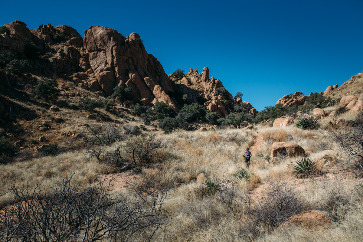
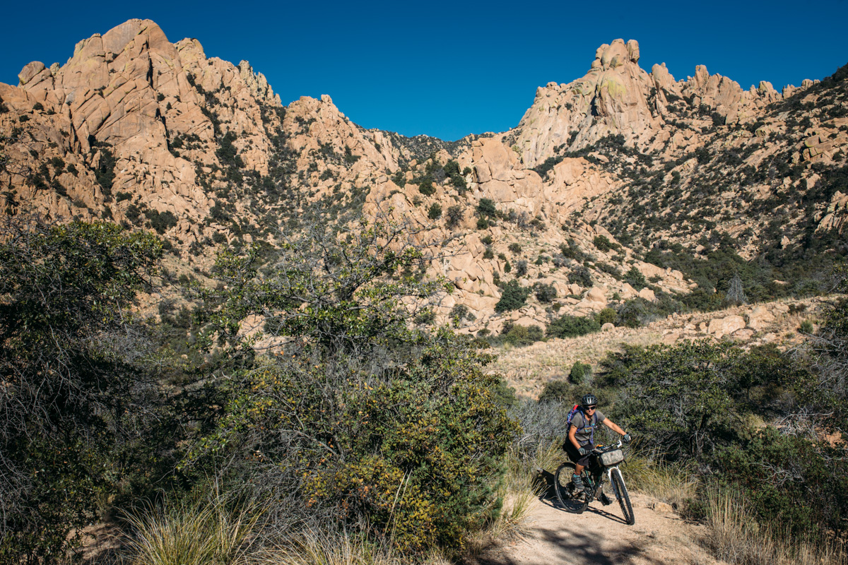
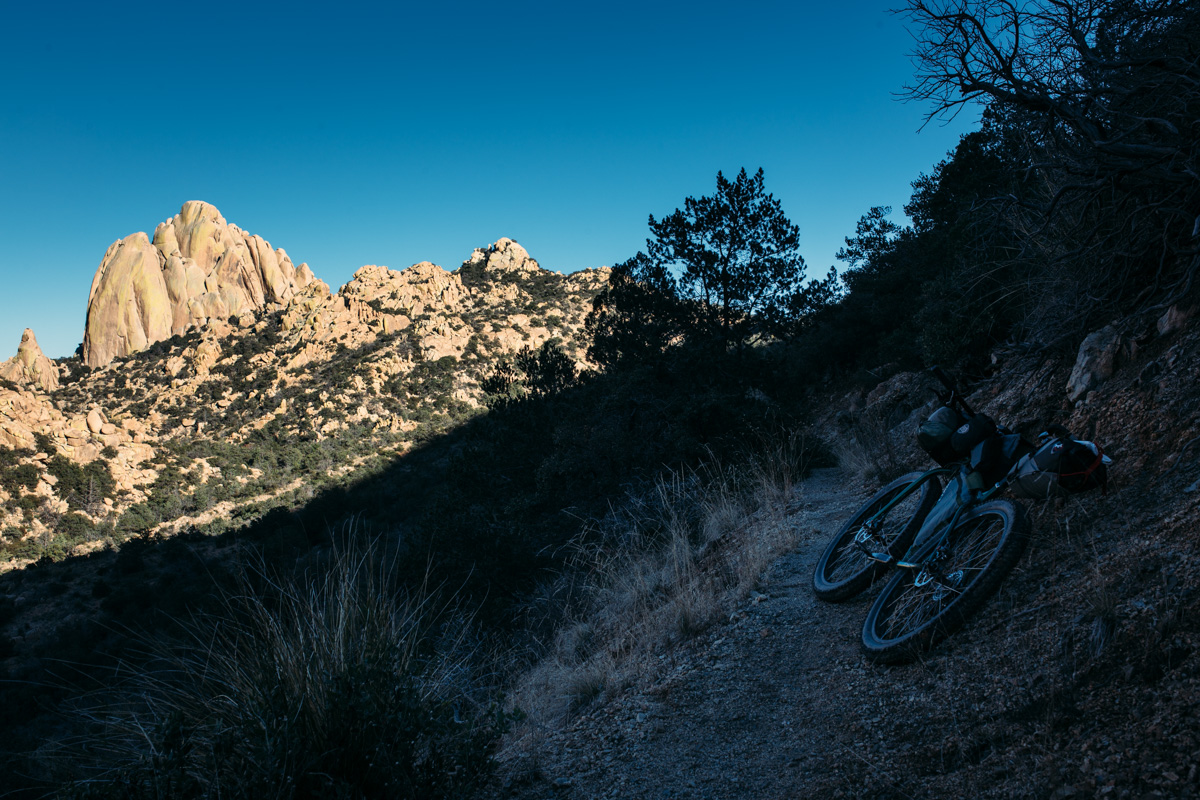
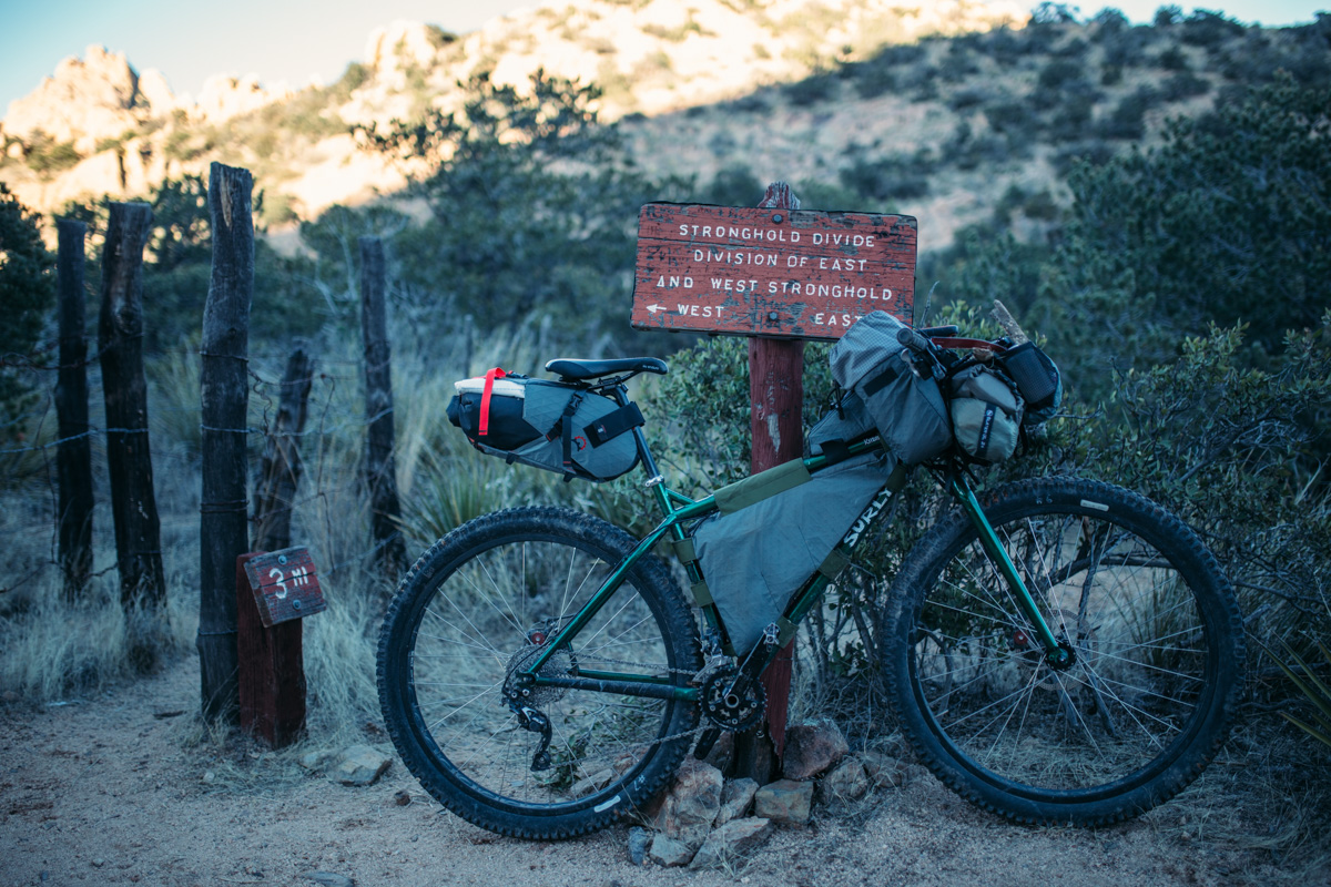
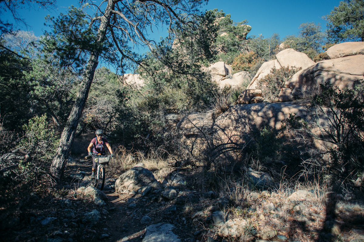
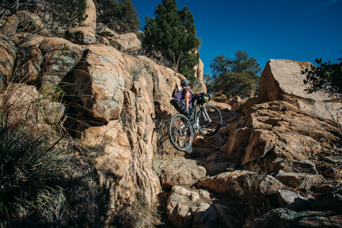
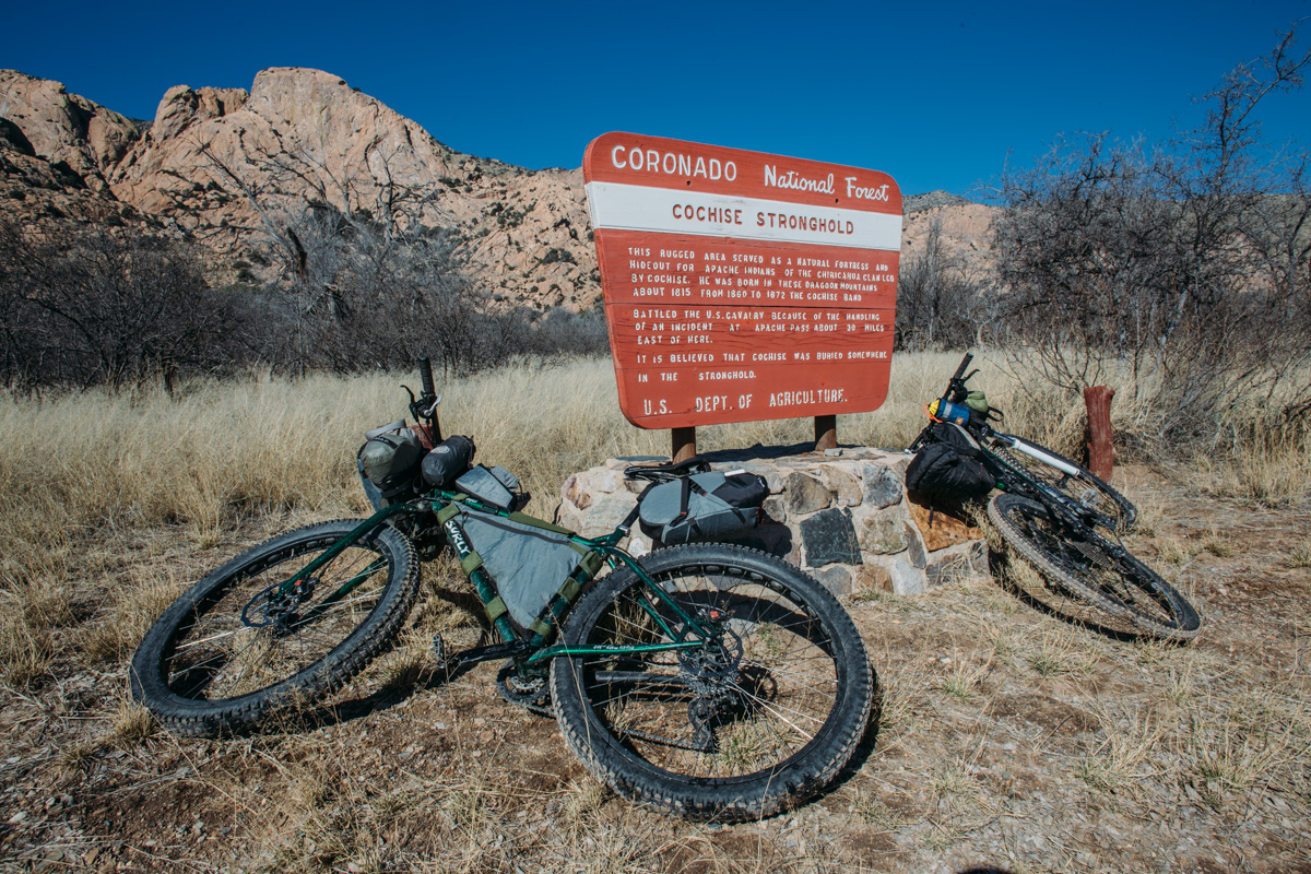
This is a relatively quick loop which could be started on a Saturday and finished just in time to drive back to Tucson or Phoenix Sunday evening. It starts on the fringe of Tombstone and gently meanders into the Dragoon Mountains and Coronado National Forest via Middlemarch Road. Forest Service Road 687 eventually funnels into a burly singletrack passage through the mountainous Cochise divide, named after the famous Apache Chiricahua Chief who held this natural fortress in resistance to the US Army for some 15 years.
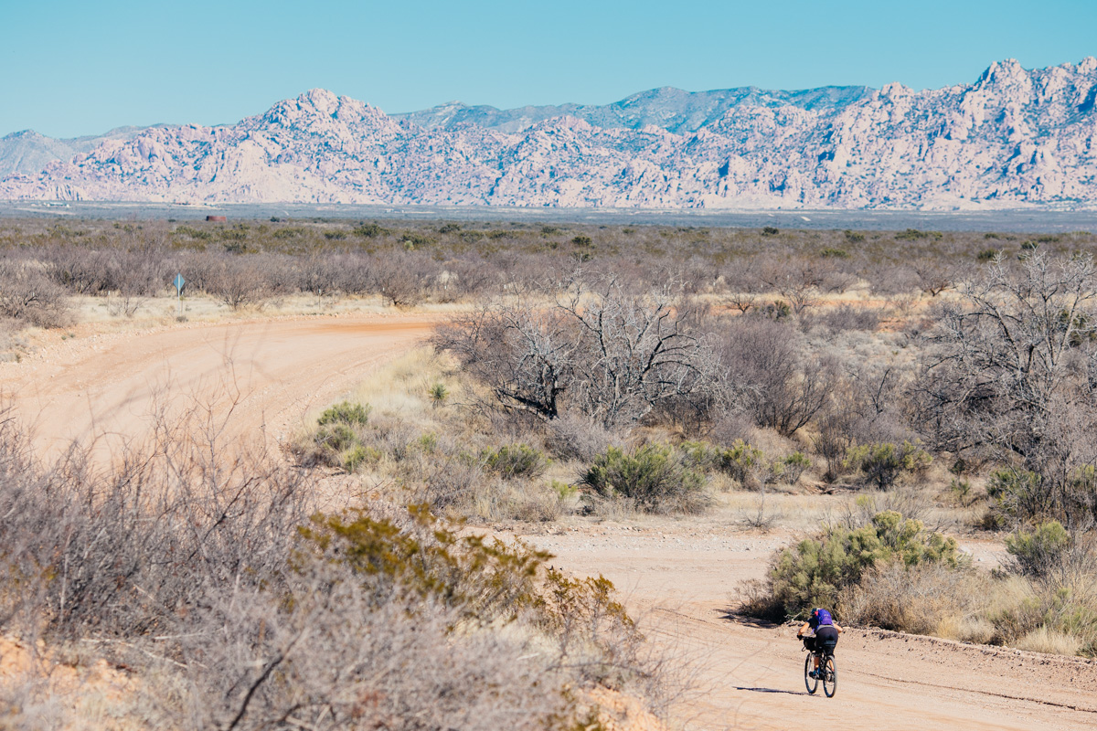
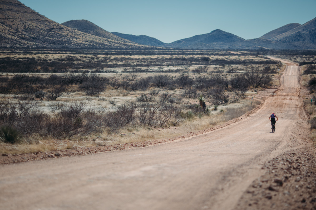
After a heart-in-throat descent down the Stronghold, a long gravel downhill leads to a short stint on highway 191 before passing through the historic mining town of Pearce. At this point, there were several options for the loop; we originally chose a dirt jeep road that climbed into the southern end of the Dragoons followed by a chunk of a paved road to take us through the town of Tombstone. However, this was adjusted on multiple occasions due to arising private land issues and now uses Ghost Town Trail road, a scenic gravel road that connects to the pavement.
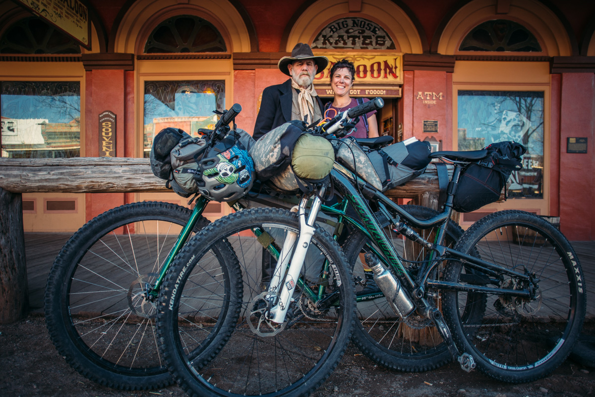
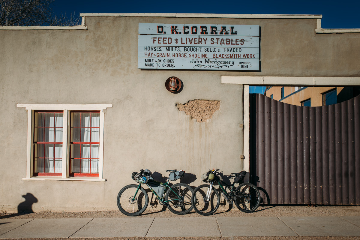
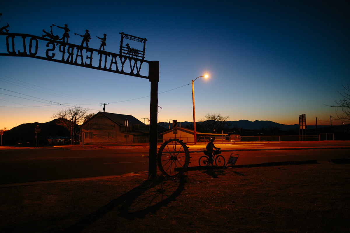
Tombstone, an historic “Old West” town in Cochise County, was originally founded in 1879 and has since become quite the tourist draw. It was one of the last frontier boomtowns in the American West, its wealth is the product of successful silver mining and its notoriety is the result of its numerous infamous citizens, including gunslingers Wyatt Earp, Doc Holiday, and Johnny Ringo. A few of the sites in town are worth checking out… the Bird Cage Theater, known to the cowboys of its time as “the wildest, wickedest night spot between Basin Street and the Barbary Coast” is worth a peek, or just head to the nearest saloon for a post-ride glass of sarsaparilla, firewater, or coffin varnish.


Submit Route Alert
As the leading creator and publisher of bikepacking routes, BIKEPACKING.com endeavors to maintain, improve, and advocate for our growing network of bikepacking routes all over the world. As such, our editorial team, route creators, and Route Stewards serve as mediators for route improvements and opportunities for connectivity, conservation, and community growth around these routes. To facilitate these efforts, we rely on our Bikepacking Collective and the greater bikepacking community to call attention to critical issues and opportunities that are discovered while riding these routes. If you have a vital issue or opportunity regarding this route that pertains to one of the subjects below, please let us know:
Highlights
Must Know
Camping
Food/H2O
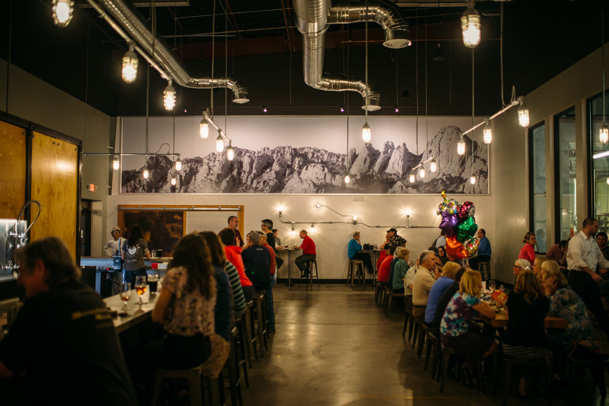
- Pedaling through the historic western towns of Tombstone and Pearce.
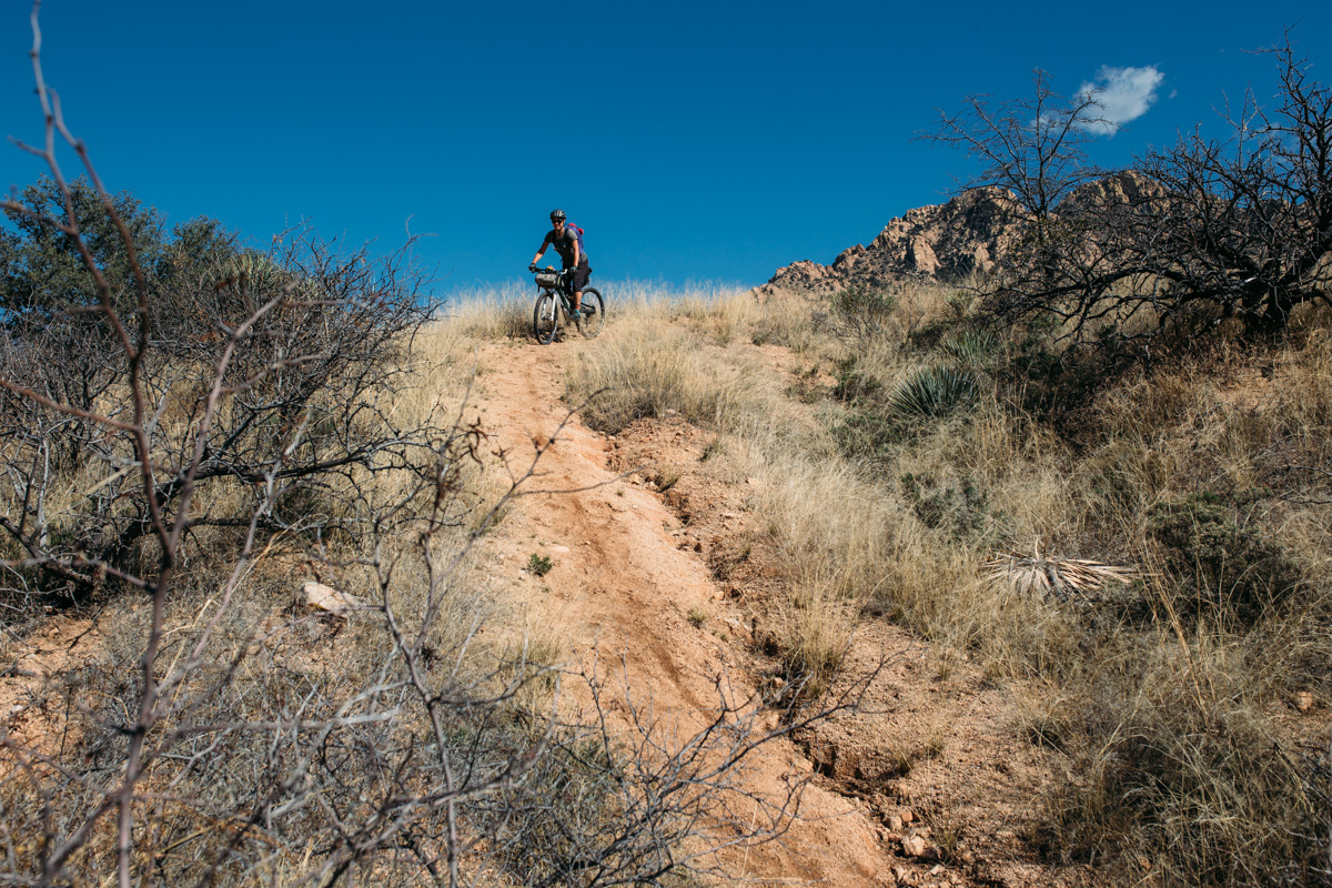
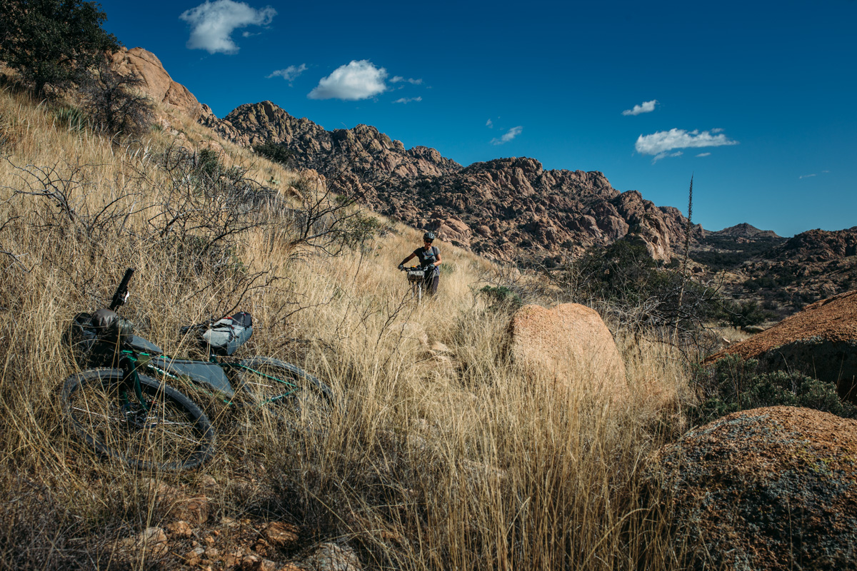
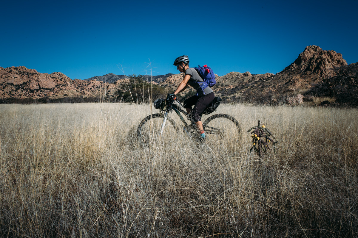
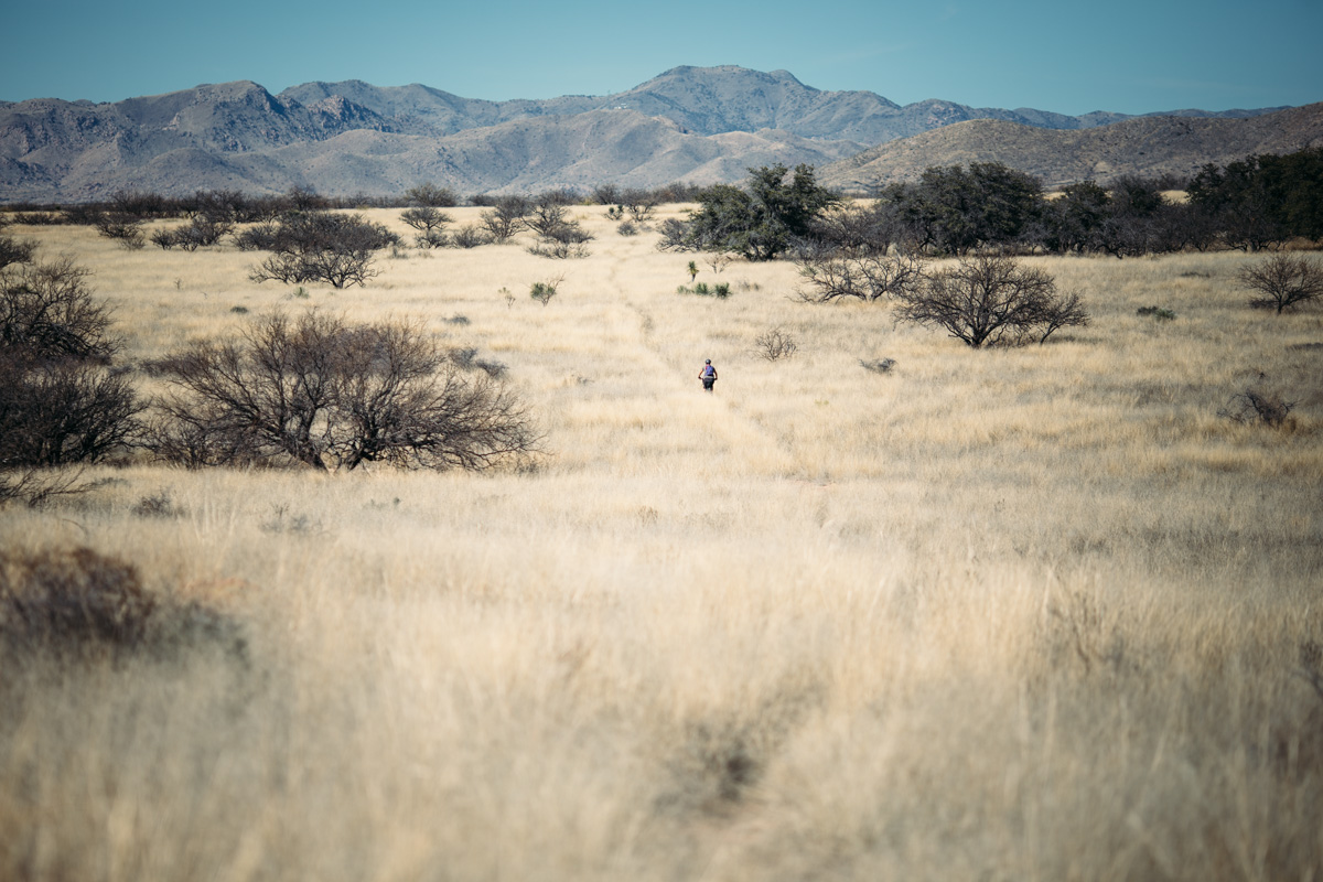
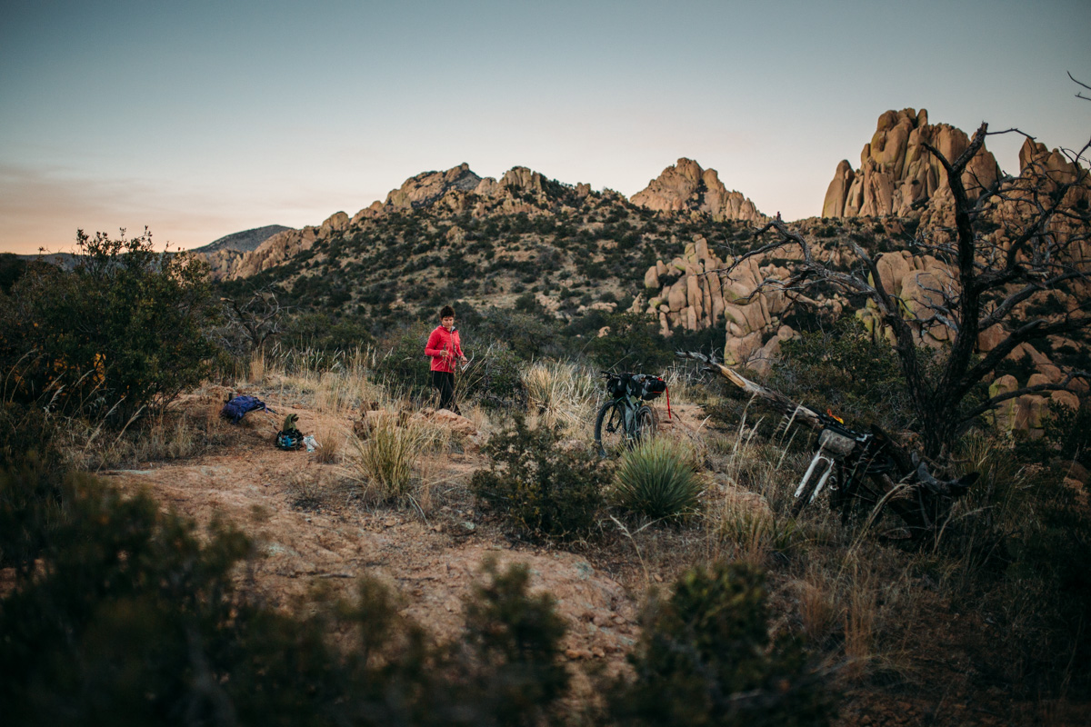
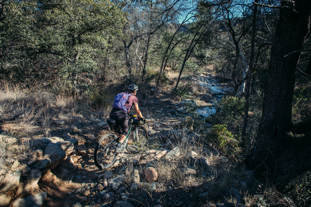
- A mixed bag of terrain; everything from fast singletrack, to grassland, to rocky hike-a-bike.
- A fun and technical descent through the Cochise Stronghold on the eastern side of the Dragoons.
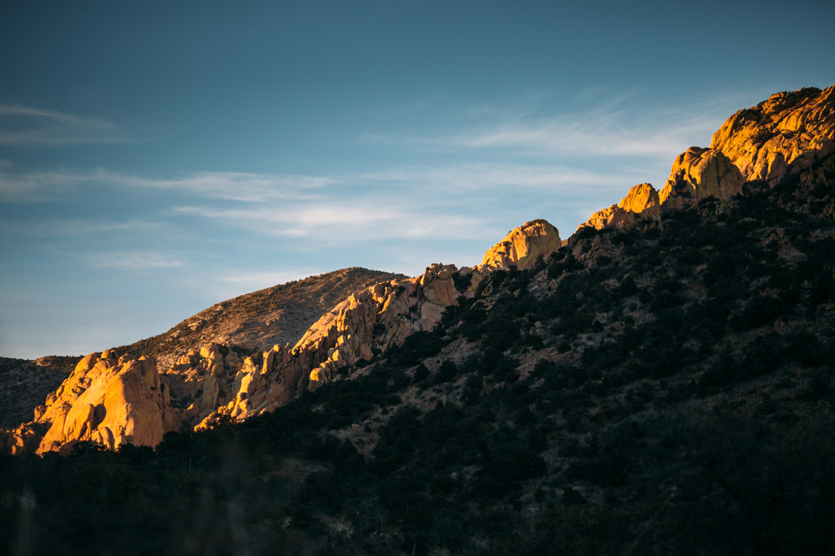
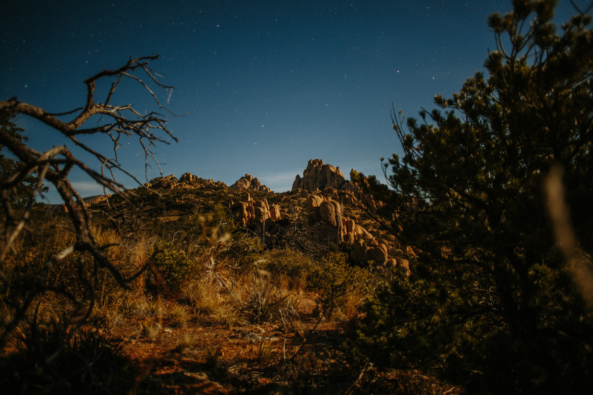
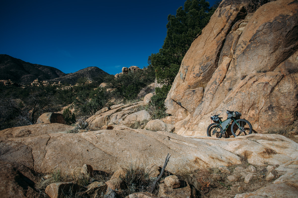
- Beautiful high desert scenery and wildlife.
- Best ridden in early spring or late fall, but is possible in the winter as well, just check the weather before setting out.
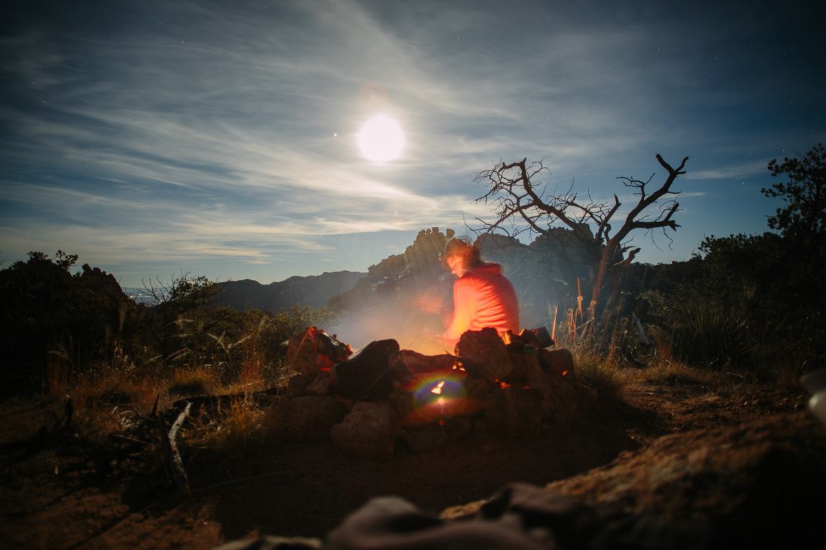
- The route lies about 4,000 ft in elevation (1,220 meters), so nights may be cold.
- Most of the route is on dirt roads with moderate climbs, but there is a sizable chunk of singletrack and the section climbing up to the divide has a fair amount of unrideable stretches; expect to push your bike from time to time.
- The Cochise Stronghold pass is bear country; it’s advisable to bring a bear snag system to store food.
- As noted by a rider in the comments, the 1.0-1.5 mile horse trail at the end of the descent might be a bit degraded and “isn’t very pleasant”. It could be avoided by dropping directly down into the campground in a short distance (albeit by hike-a-bike) and then good roads for the 1.5 mile to reconnect where the horse trail ends.
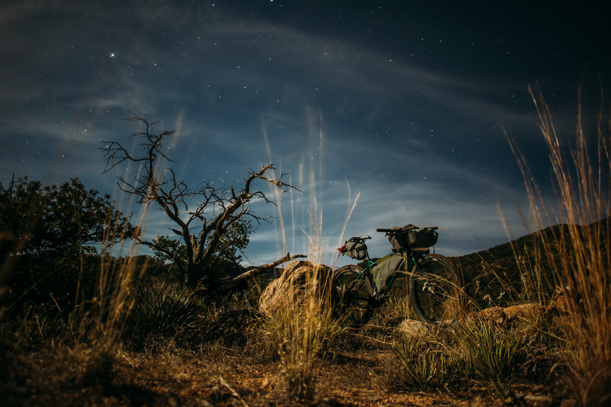
- There are plenty of wild camping spots as well as designated National Forest camping; I recommend several options about 1/4 mile from the posted ‘divide’ on the trail (24.2 on the GPX).
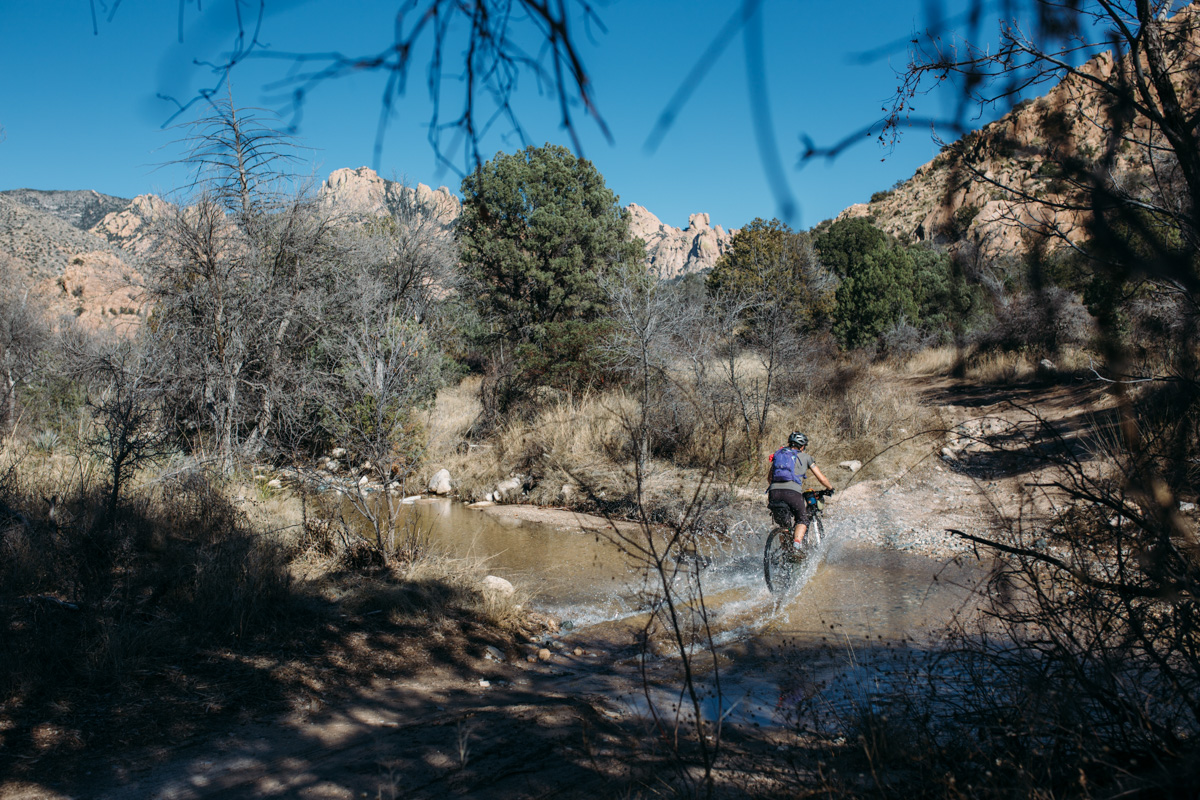
- Unless you are tackling the route within a week or so of rainfall, expect to carry water for a full 1.5 days supply.
- There were plenty of active creeks when we rode it, but that’s not always the case.
- There are several stores and restaurants in Sunsites/Pearce (around mile 36 on the GPX).


Terms of Use: As with each bikepacking route guide published on BIKEPACKING.com, should you choose to cycle this route, do so at your own risk. Prior to setting out check current local weather, conditions, and land/road closures. While riding, obey all public and private land use restrictions and rules, carry proper safety and navigational equipment, and of course, follow the #leavenotrace guidelines. The information found herein is simply a planning resource to be used as a point of inspiration in conjunction with your own due-diligence. In spite of the fact that this route, associated GPS track (GPX and maps), and all route guidelines were prepared under diligent research by the specified contributor and/or contributors, the accuracy of such and judgement of the author is not guaranteed. BIKEPACKING.com LLC, its partners, associates, and contributors are in no way liable for personal injury, damage to personal property, or any other such situation that might happen to individual riders cycling or following this route.
Please keep the conversation civil, constructive, and inclusive, or your comment will be removed.