


Three Ranges in Cowboy Country
Distance
571 Mi.
(919 KM)Days
7-9
% Unpaved
45%
% Singletrack
1%
% Rideable (time)
95%
Total Ascent
43,000'
(13,106 M)High Point
10,947'
(3,337 M)Difficulty (1-10)
7?
- 5Climbing Scale Moderate75 FT/MI (14 M/KM)
- -Technical Difficulty
- -Physical Demand
- -Resupply & Logistics
Contributed By
Joe Cruz
Pedaling in Place
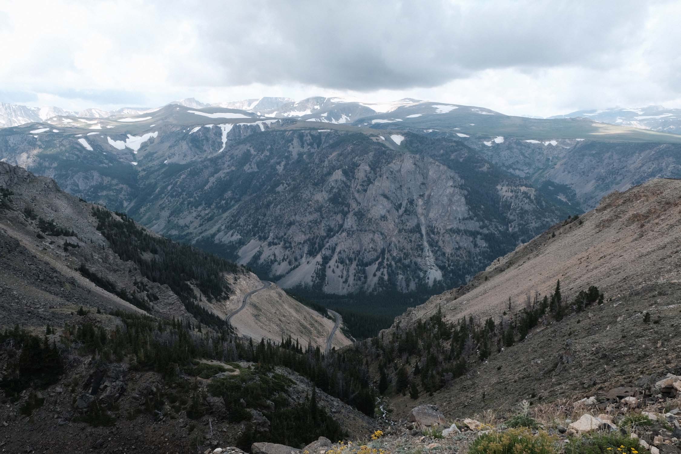
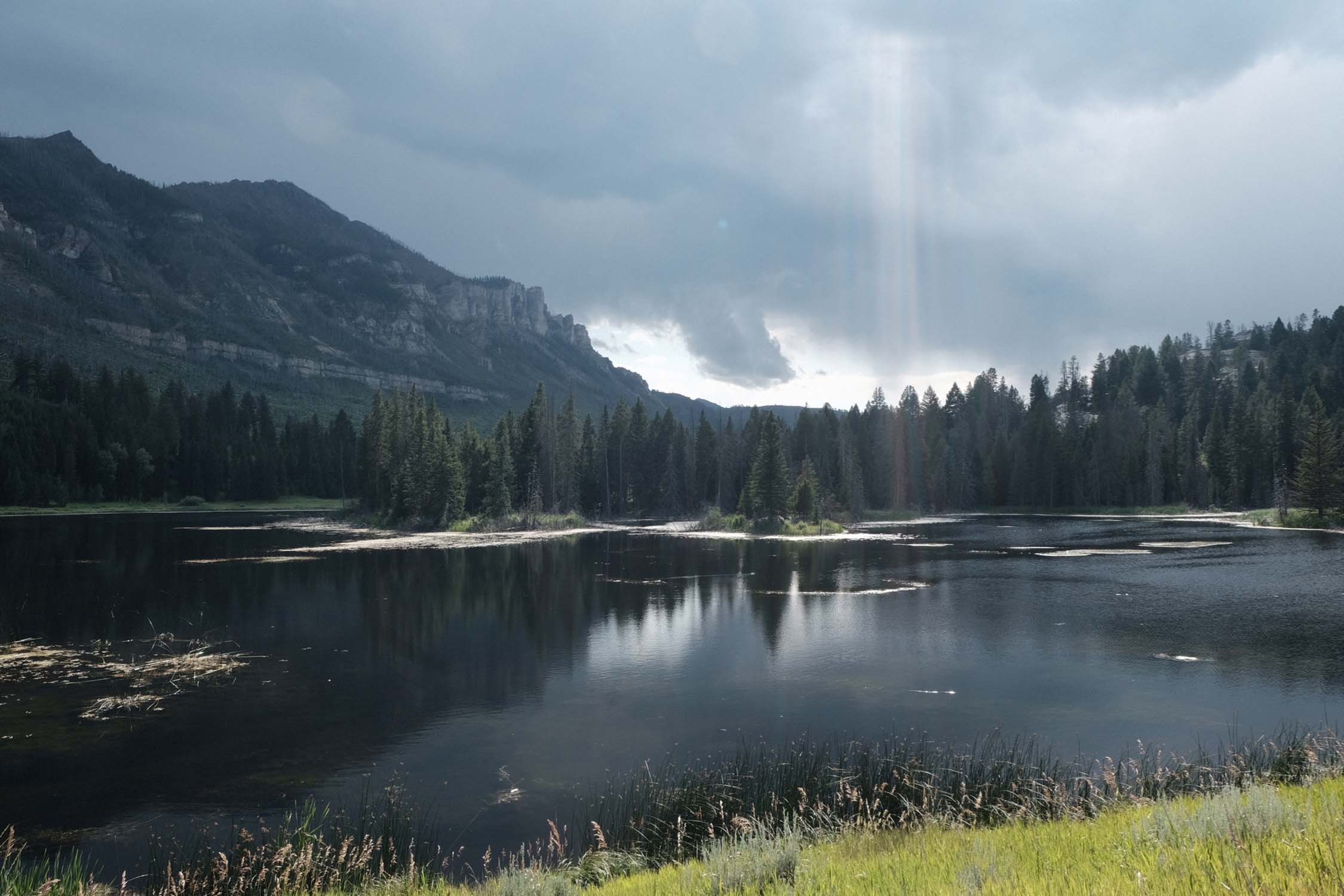
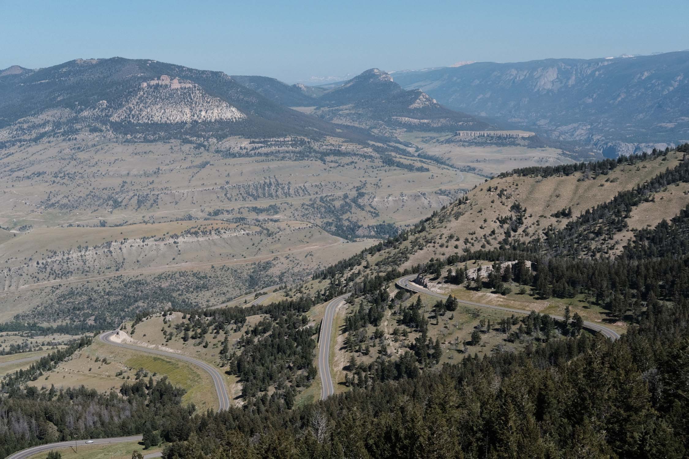
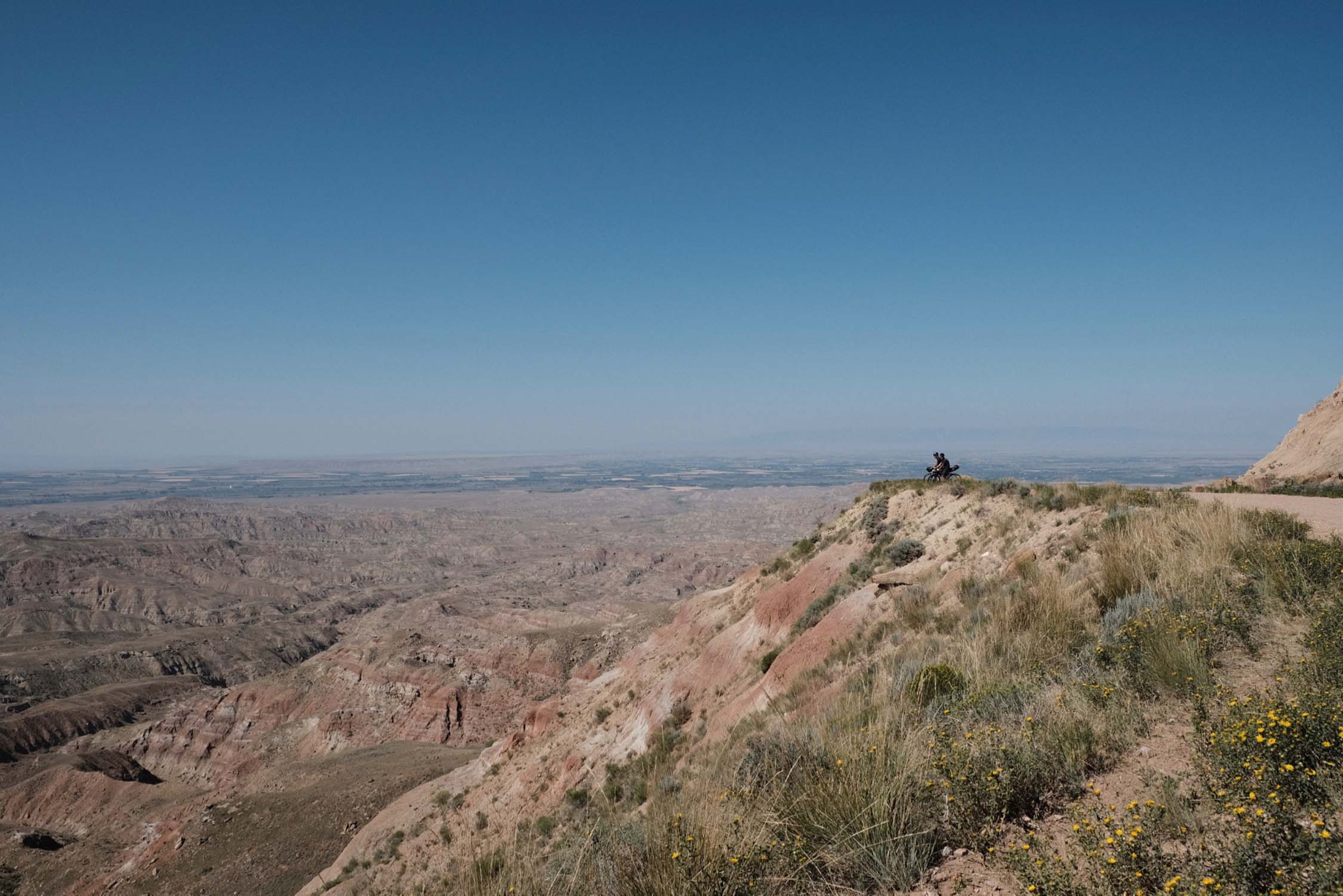
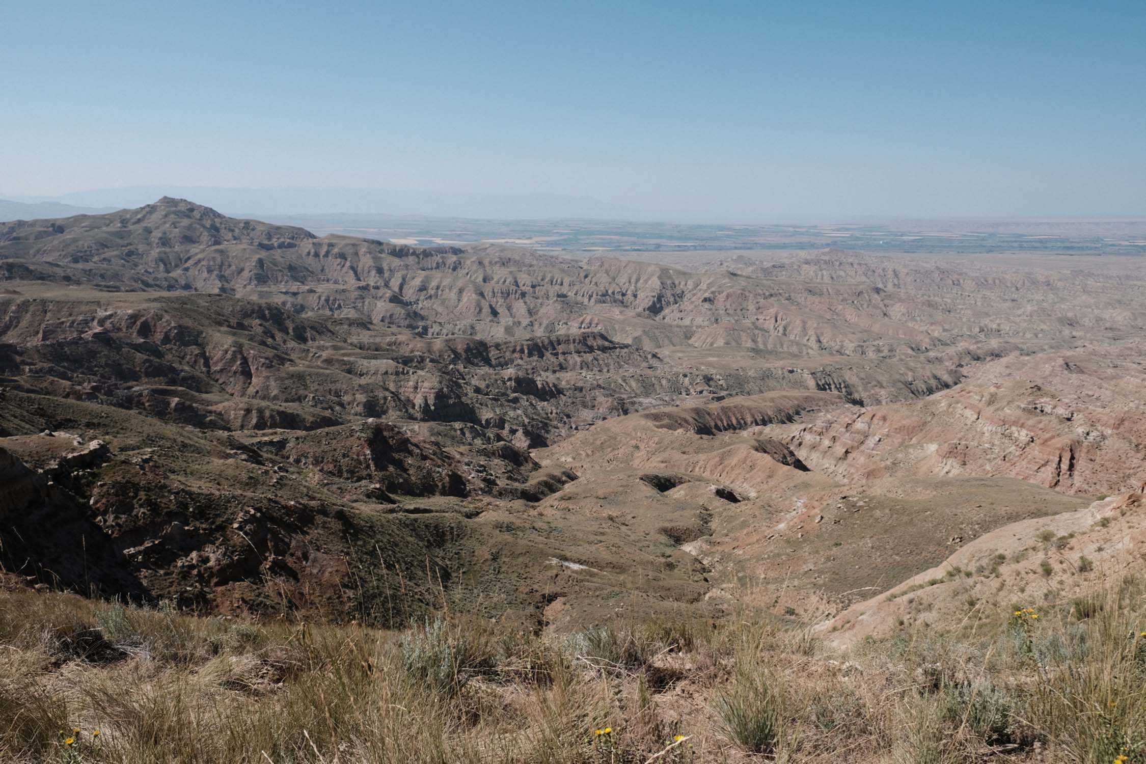
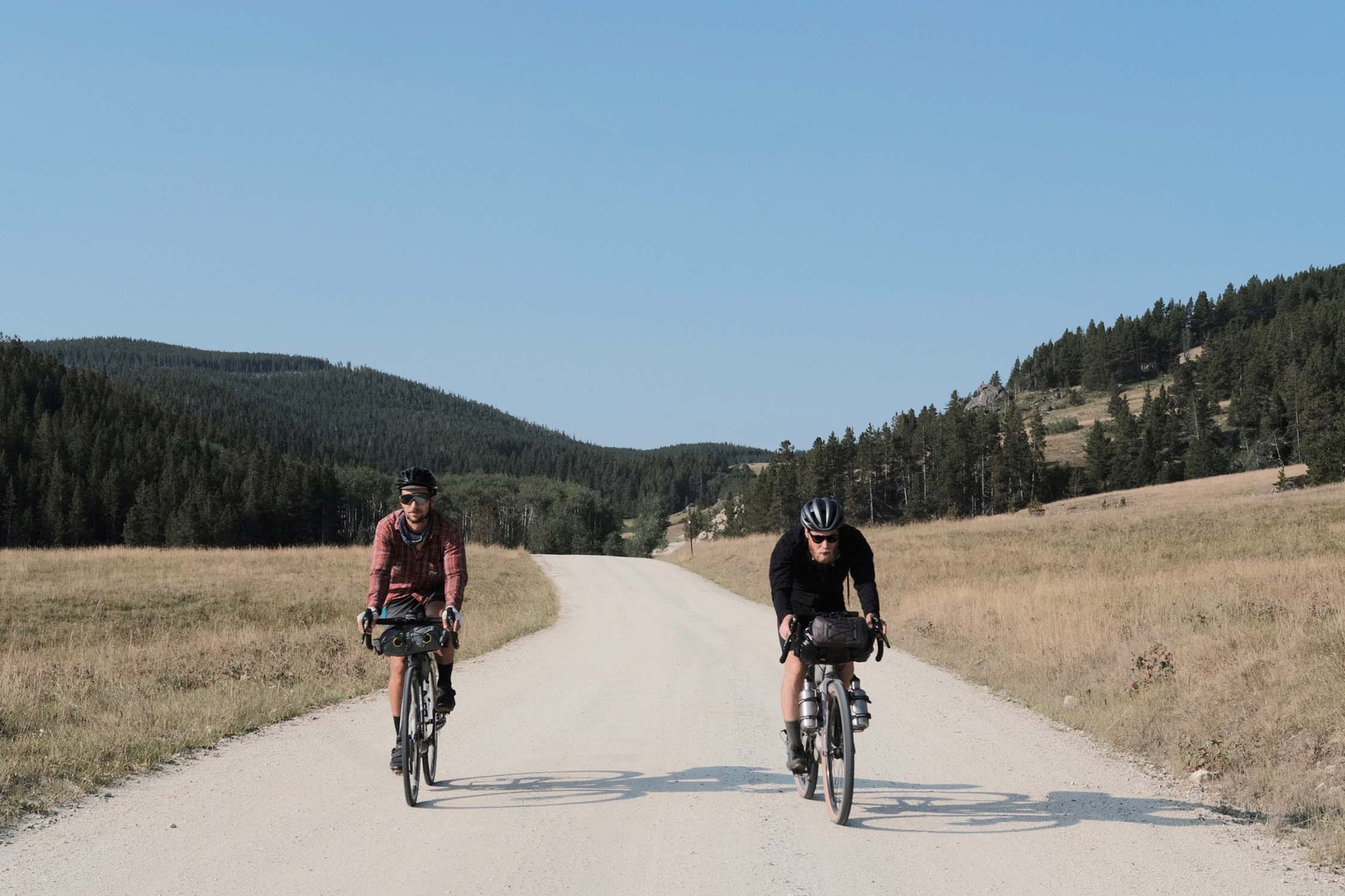
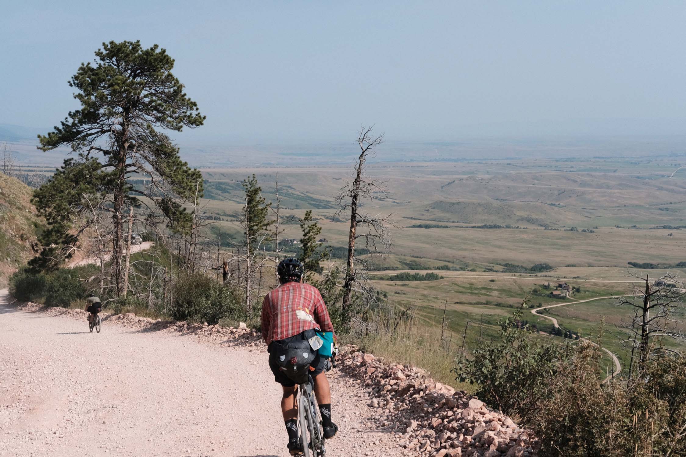
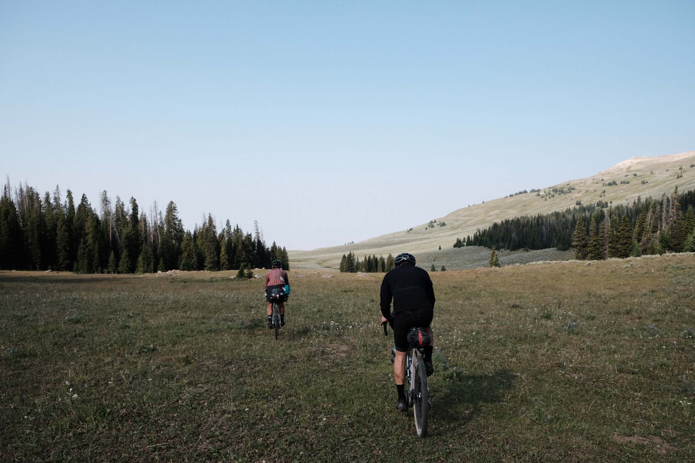
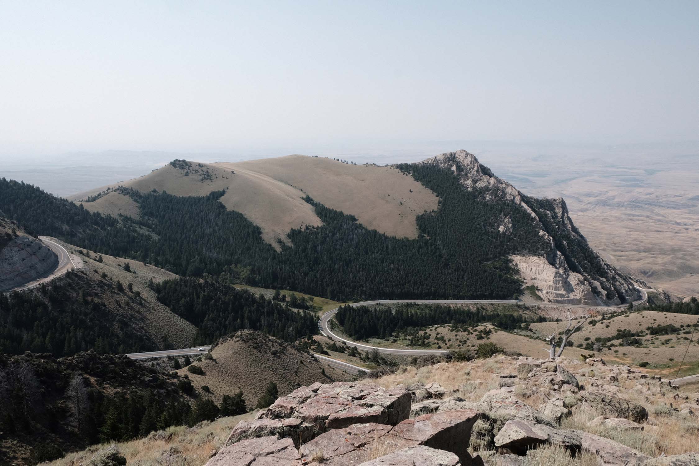
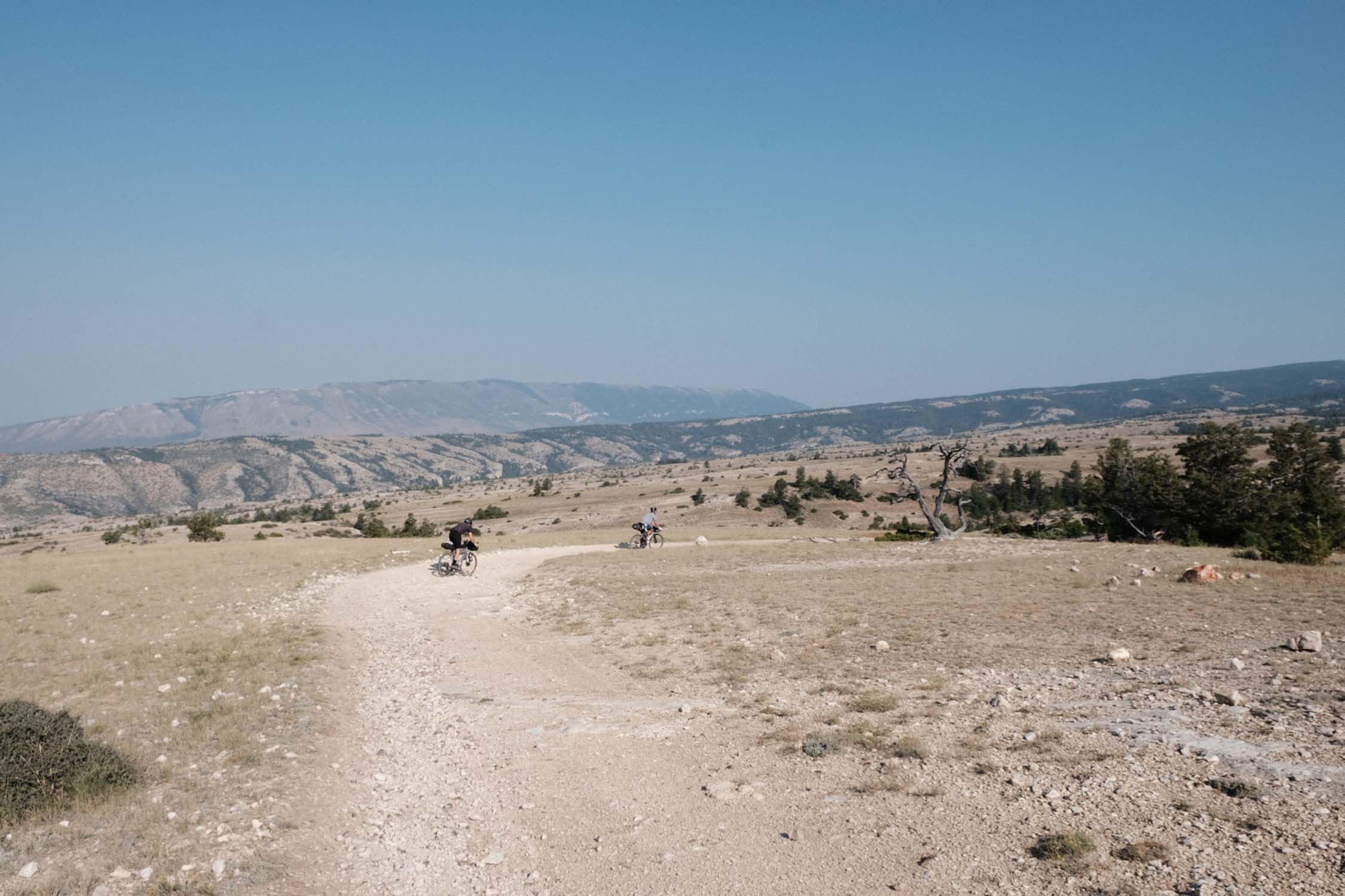
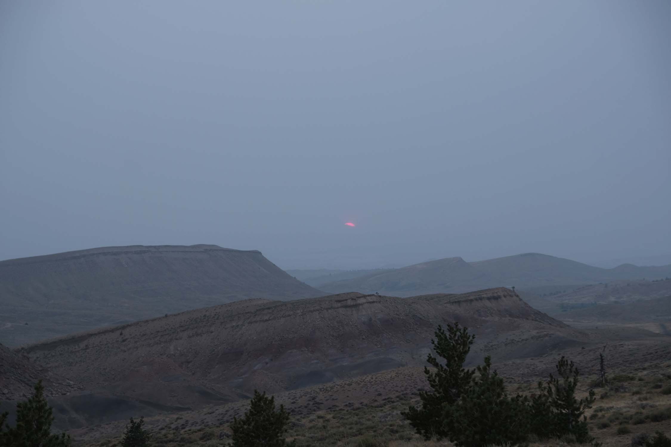
This is a ride that in one dramatic loop combines road sections with dirt jaunts and jeep tracks. Ride under immense skies and over soaring mountain ranges. Pass through the Custer Gallatin and Bighorn National Forests to find textures that share the grandeur of nearby Yellowstone National Park. Wend through wide empty gravel roads along barbed wire fences and rolling grasslands. Experience the seldom visited Pryor Mountains where, if you’re lucky, you’ll spot herds of wild mustangs in the rust and chalk hills.
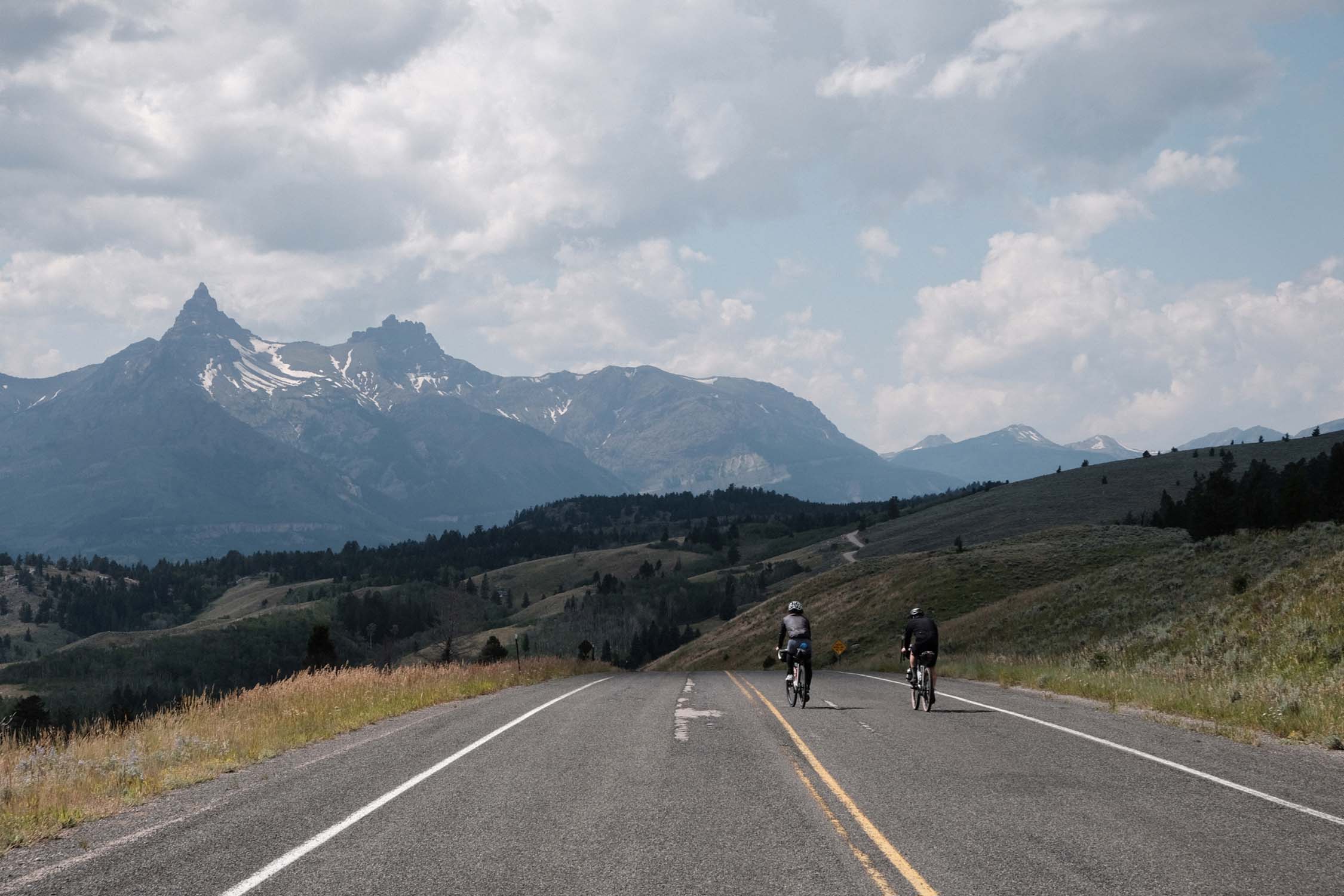
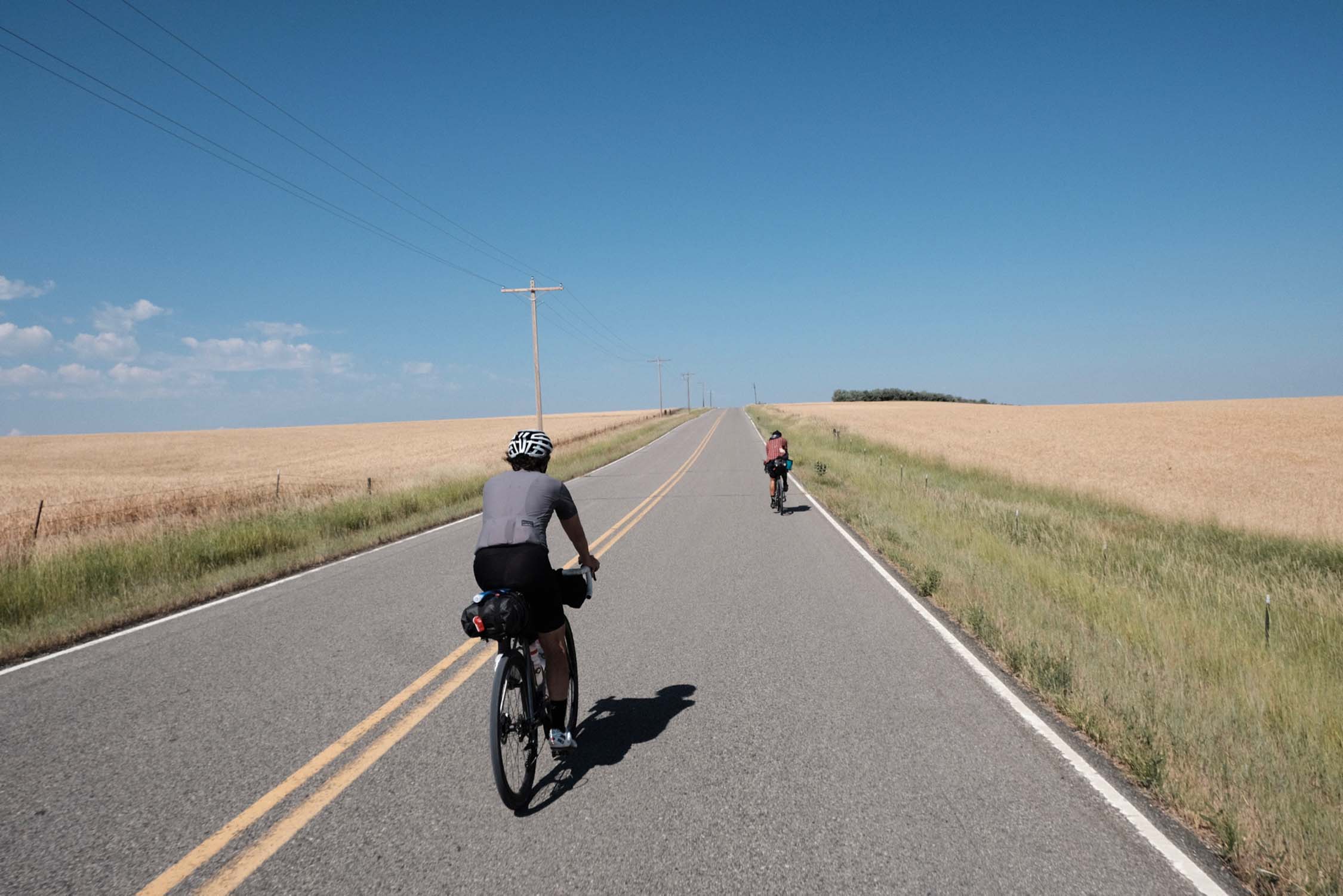
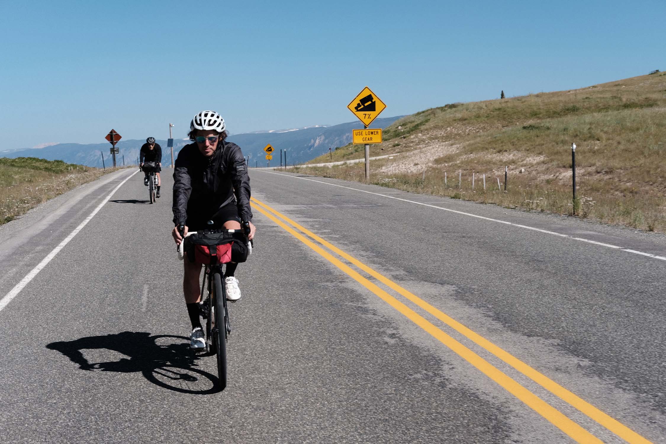
The tarmac sections aren’t just a means to get somewhere else, they are part of the main event. The Beartooth Highway has been called the most scenic road in the USA, and the Chief Joseph Byway, Shell Canyon, and Highway 14A are contenders for the same title. The overall aesthetic of the route will appeal to riders who love both road and dirt riding. You don’t have to be a roadie per se to enjoy the asphalt sections, but if you don’t find euphoria in sweeping downhill turns and in dynamic in and out of the saddle hours long ascending into the clouds, this ride isn’t for you.
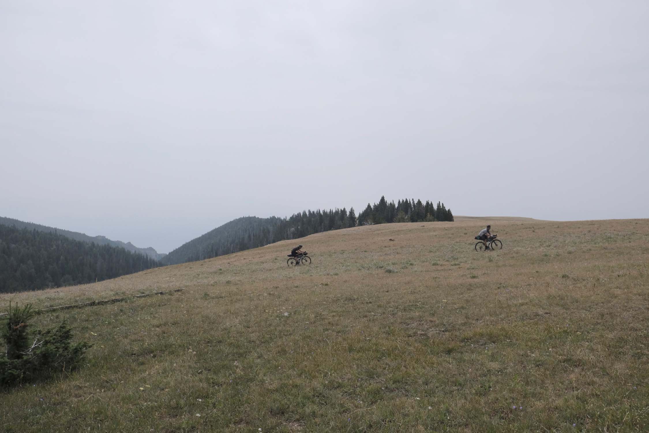
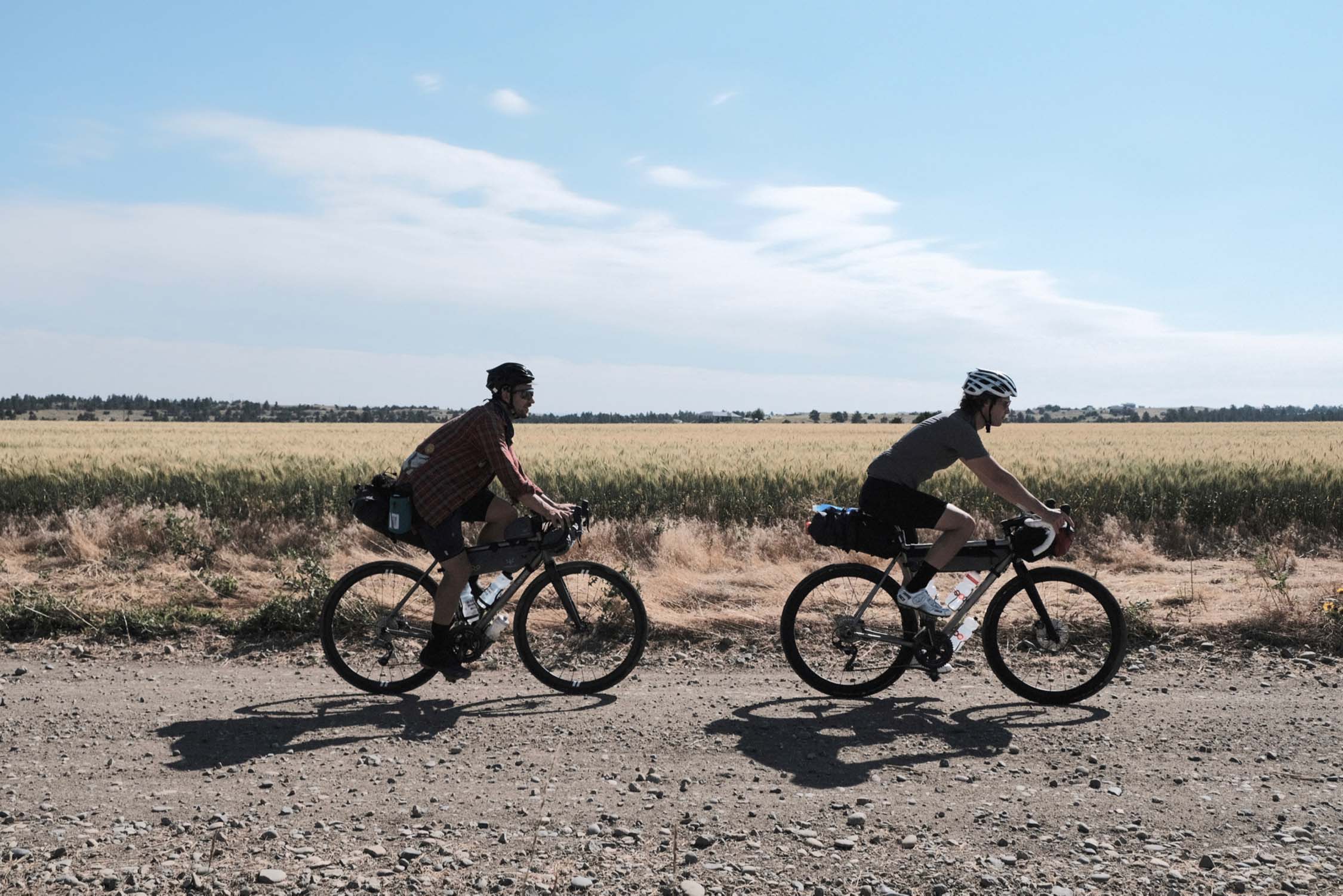
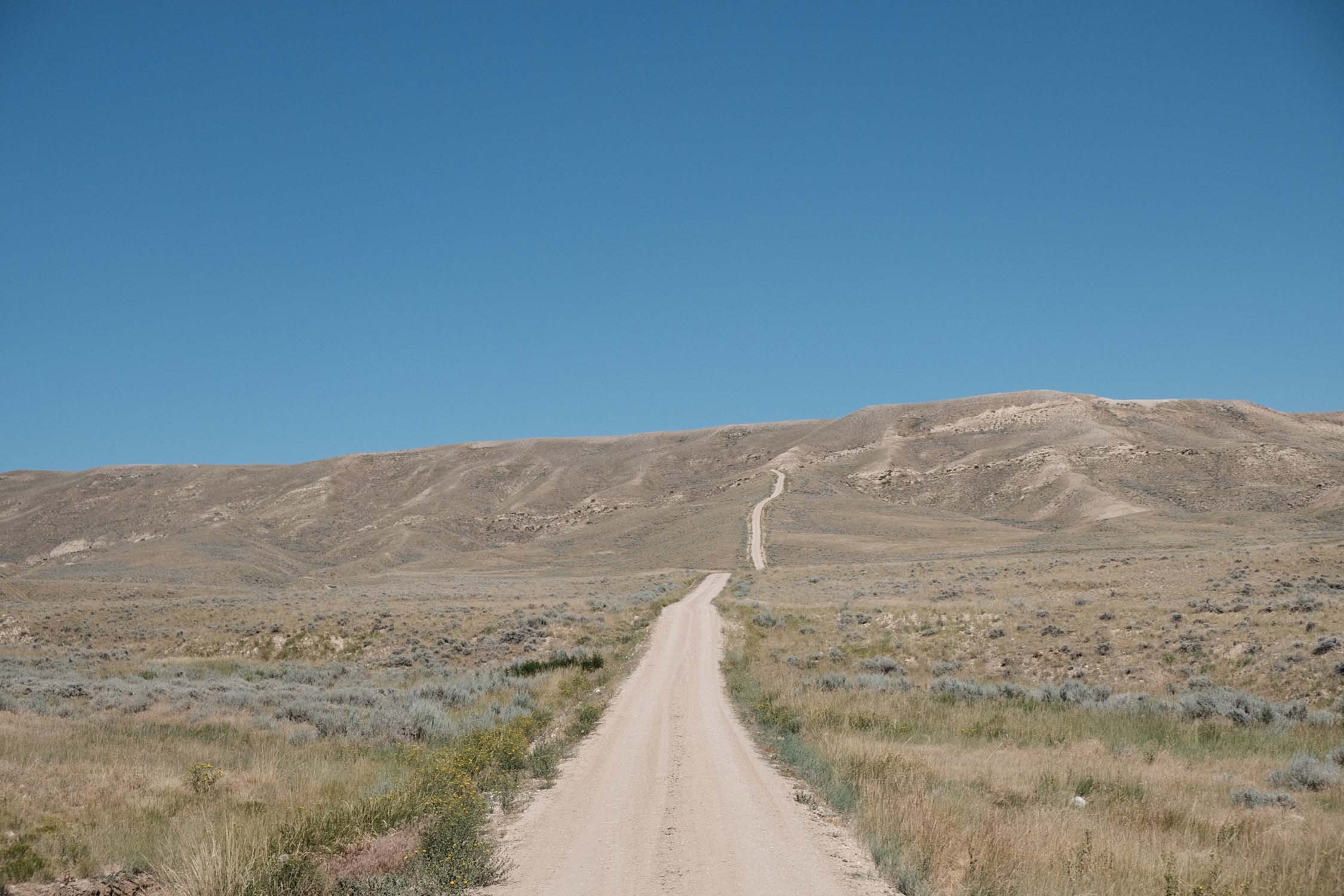
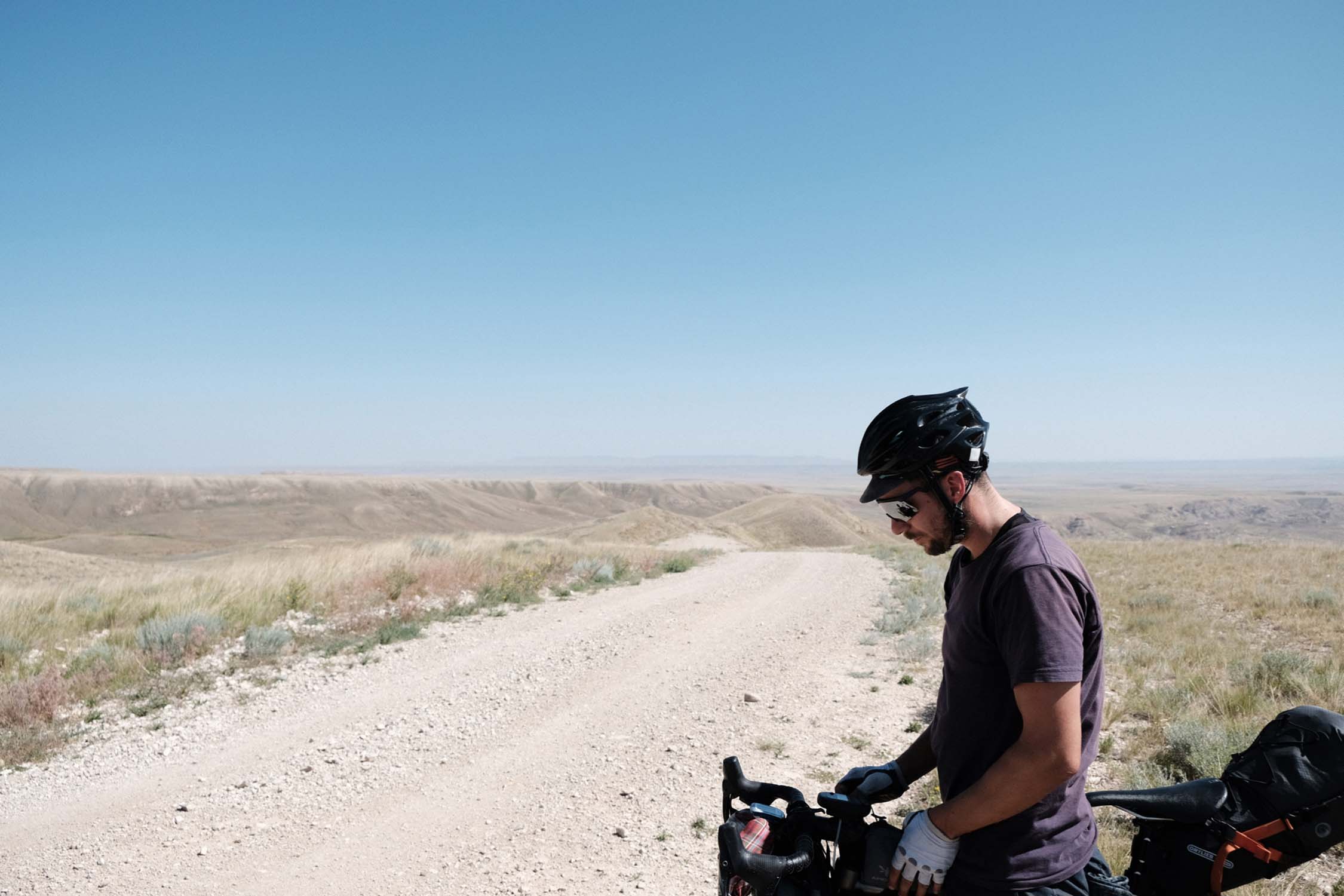
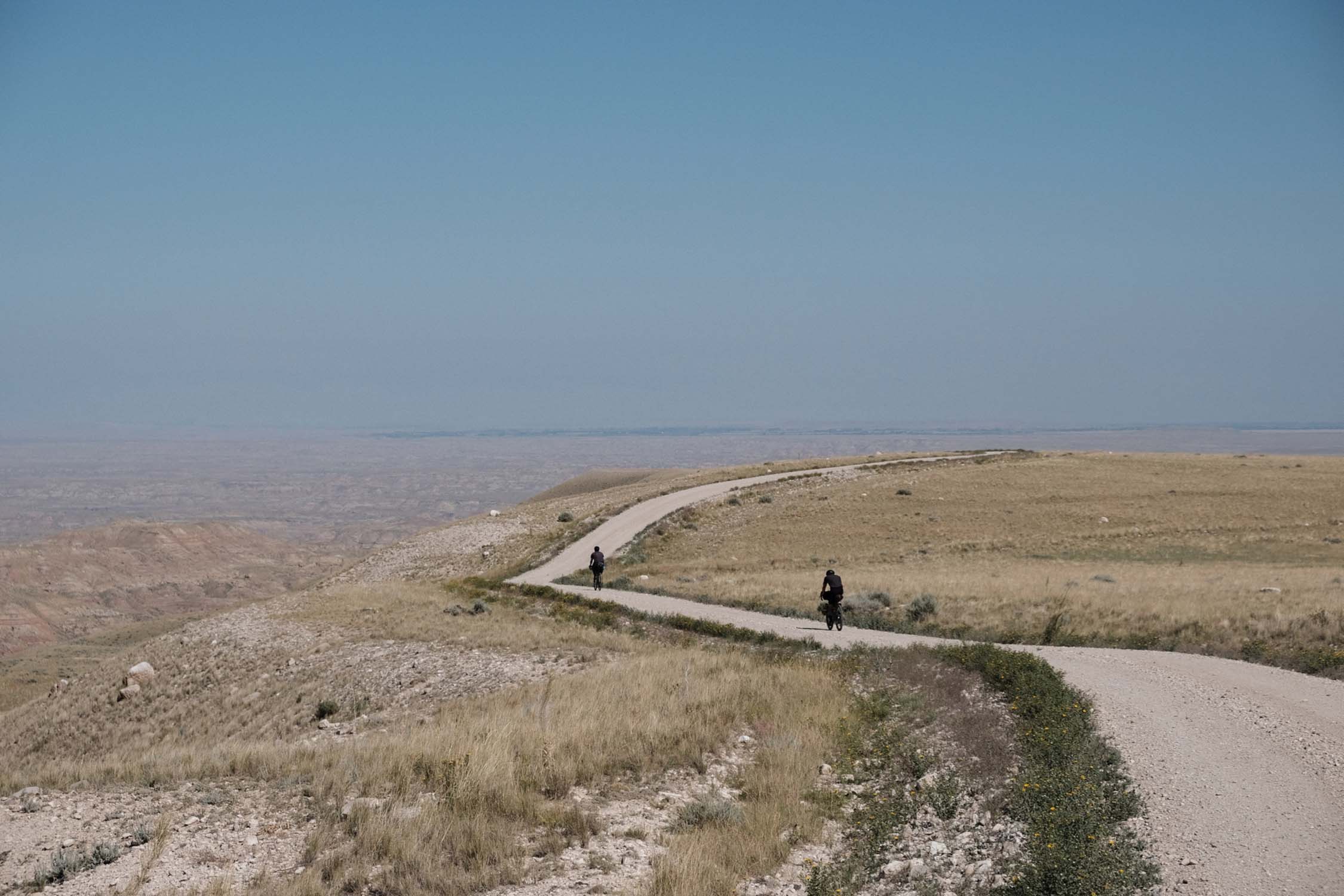
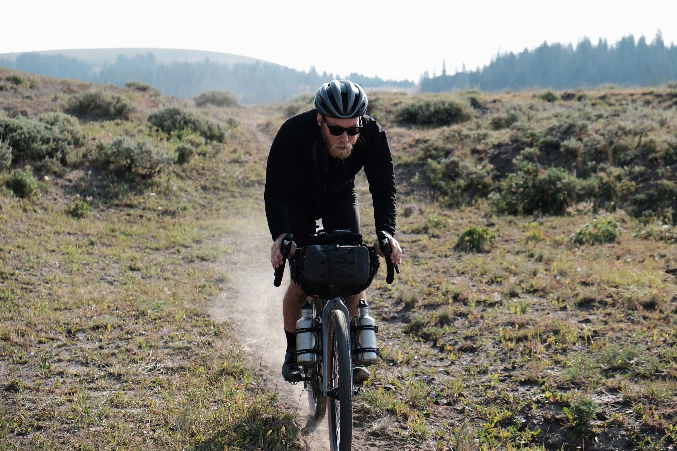
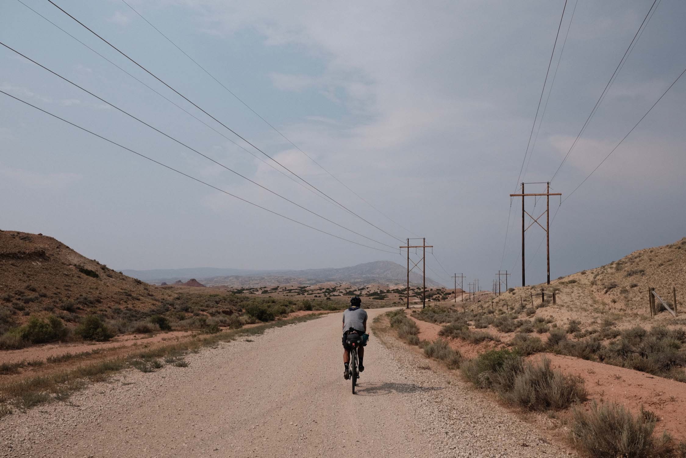
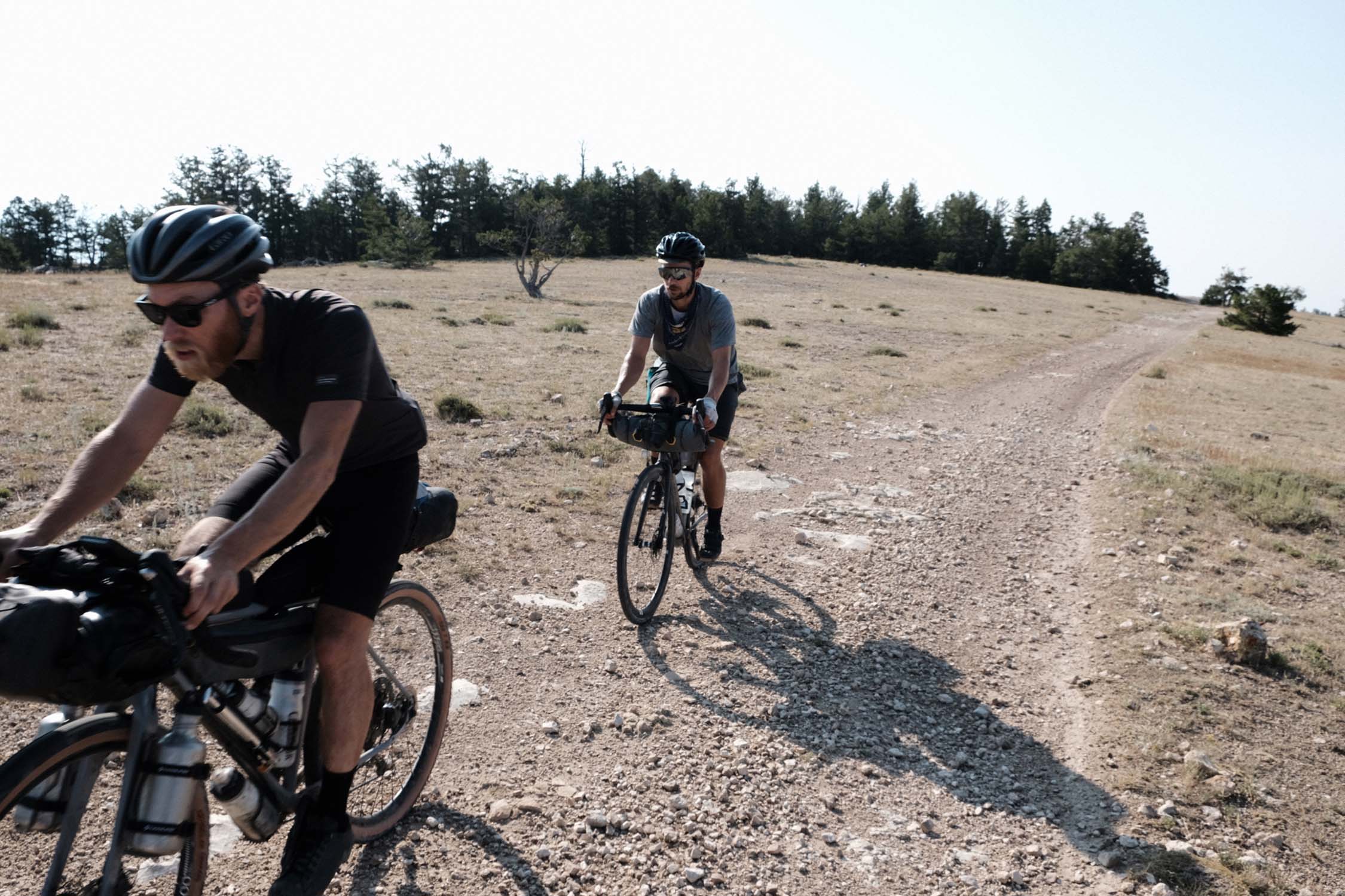
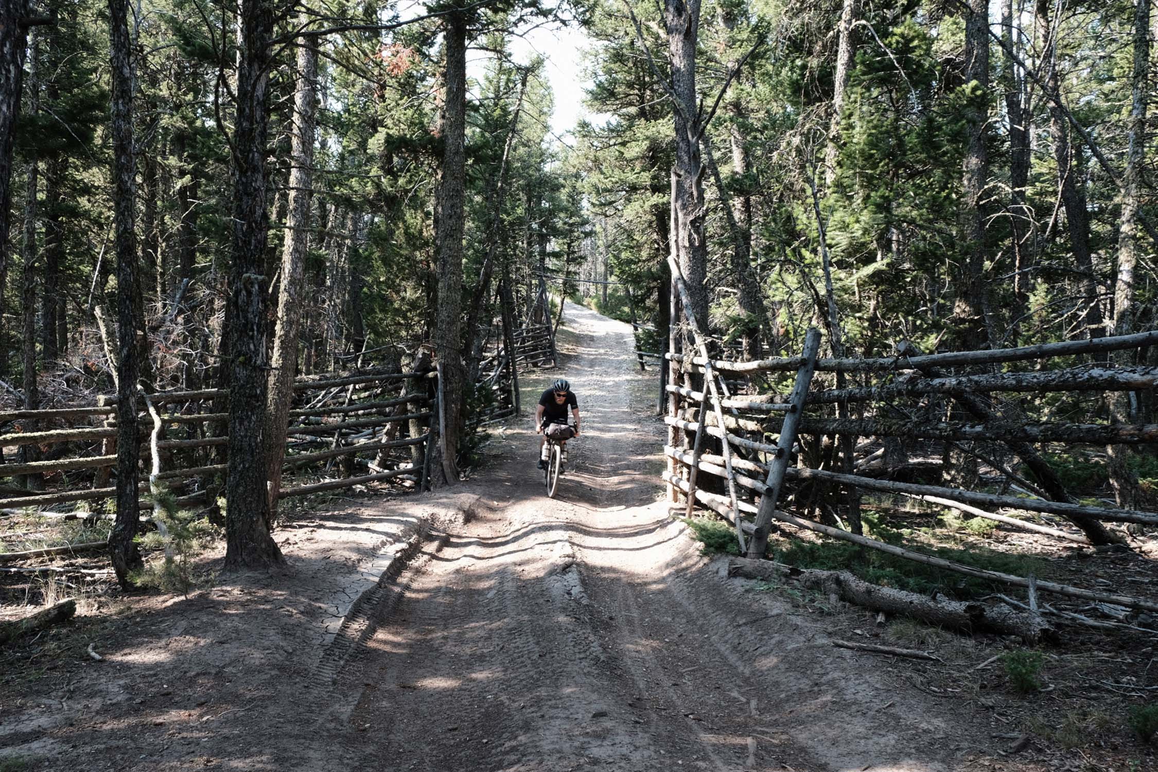
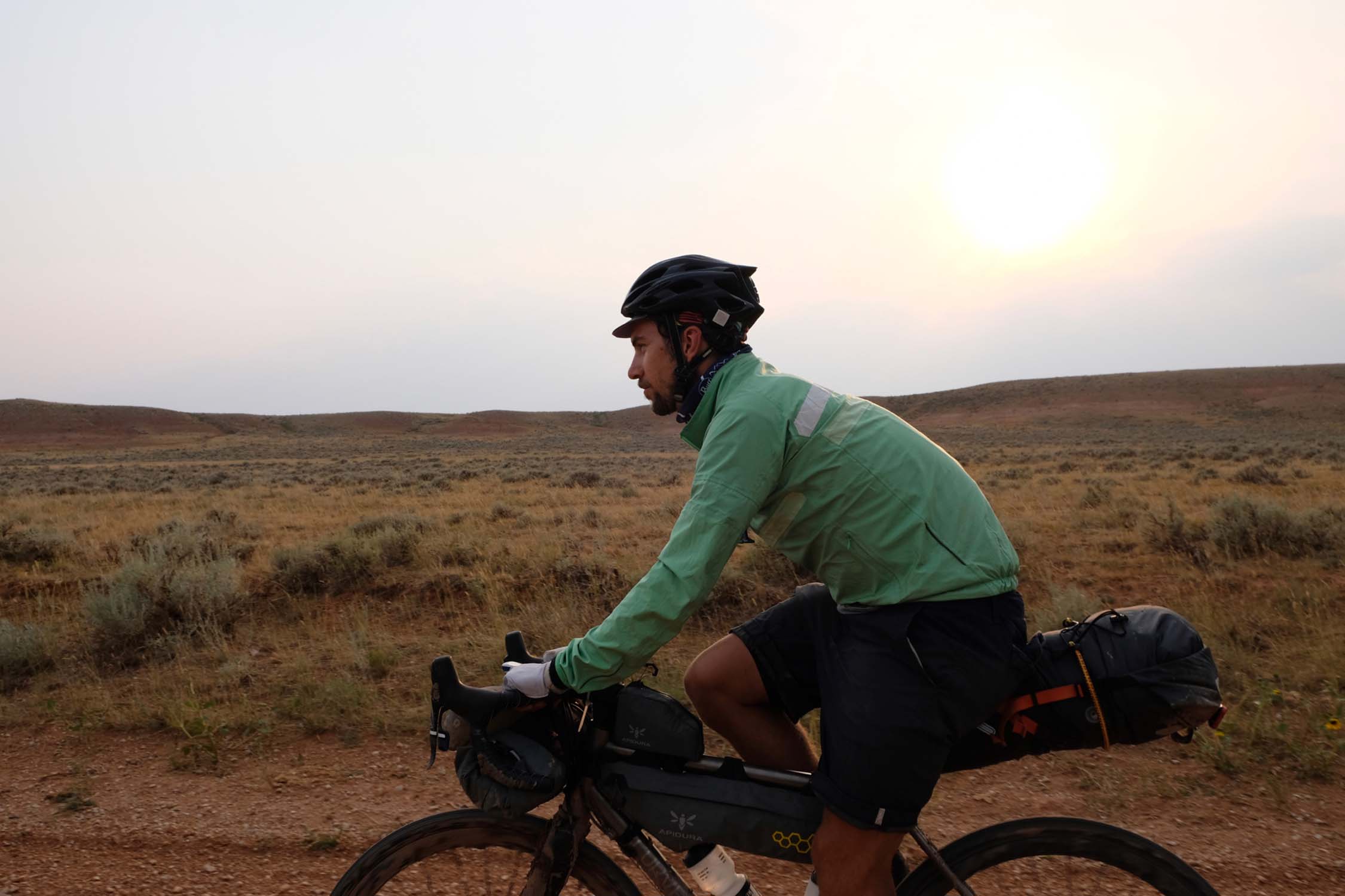
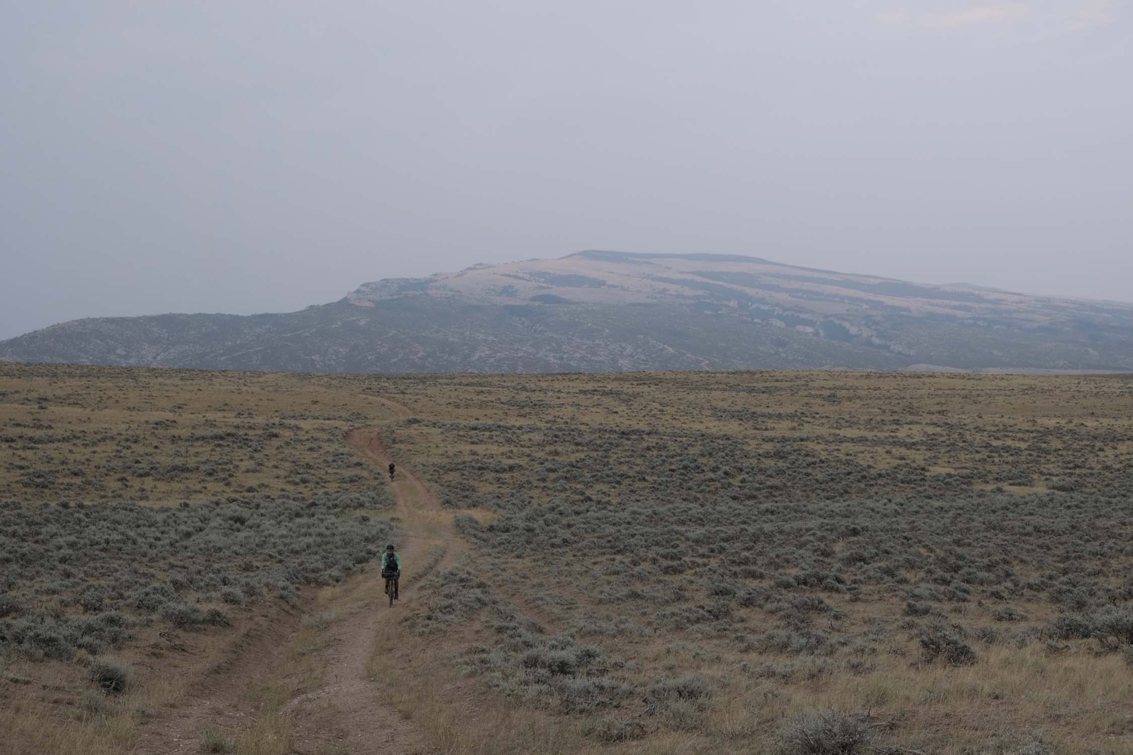
The gravel is chunky, dry, and dusty. And there are plenty of rugged remote dirt track sections for further contrast. The hyperbole around all-road adventure bikes alleges that they can transition between all of these. Bikes we’ve all been riding for decades can do that, too, but engineers and designers now explicitly have this blend in mind. This loop was conceived for such bikes, namely stable drop bar disc brake bikes ready to accommodate bottles and bags and to take on anything.
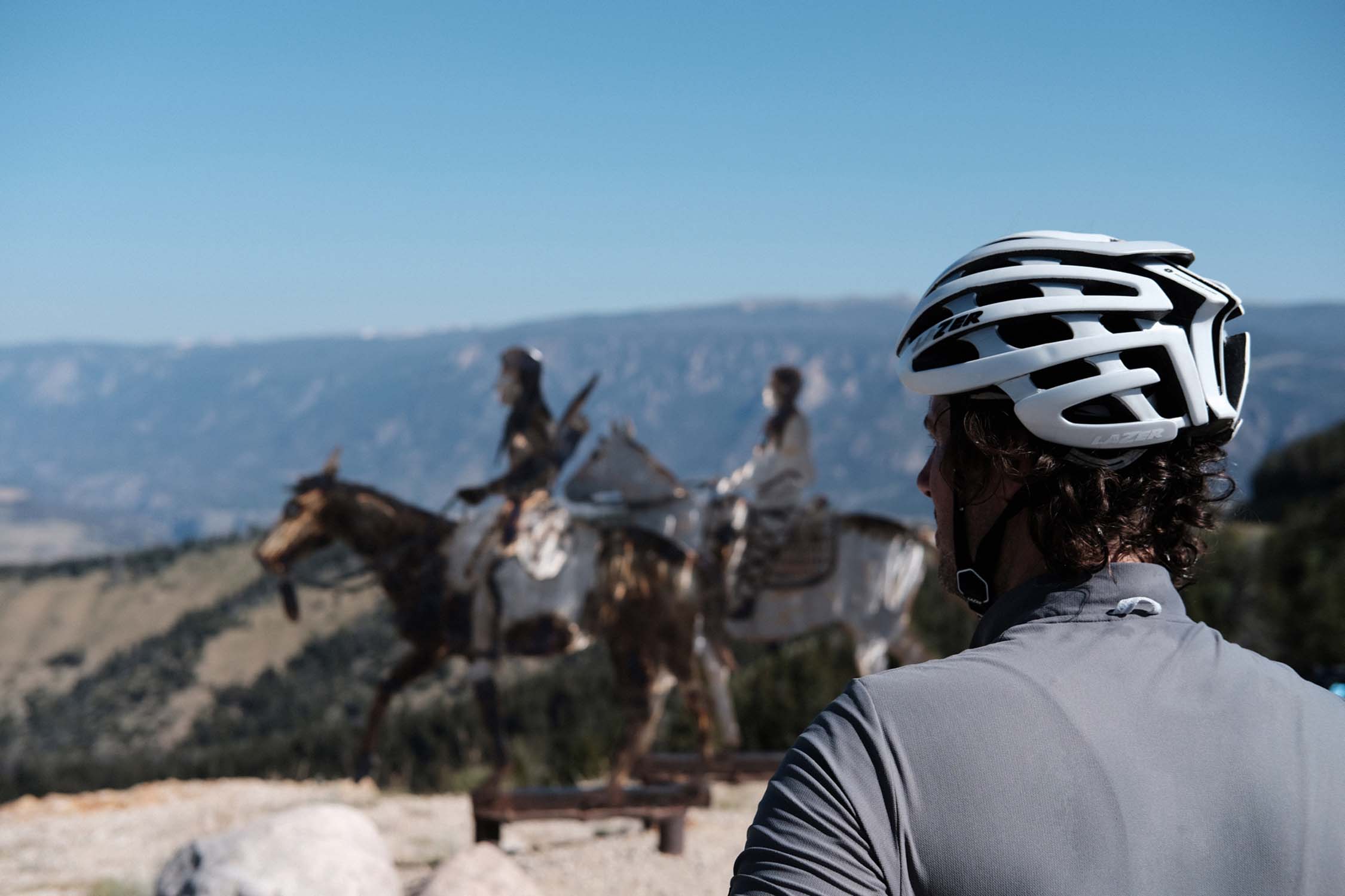
Riding high in the mountains on public land and periodically dropping down to the plains with their manifest ranching and farming culture captures the modern American West. Attitudes of self reliance, independence, and open friendliness abound alongside the realities of extraction industries, the scars of injustice against Native Americans, and economies that remain precarious. You’ll leave with a picture of the reality of this part of the USA, but one that also retains plenty of the mythology and magic.
Difficulty
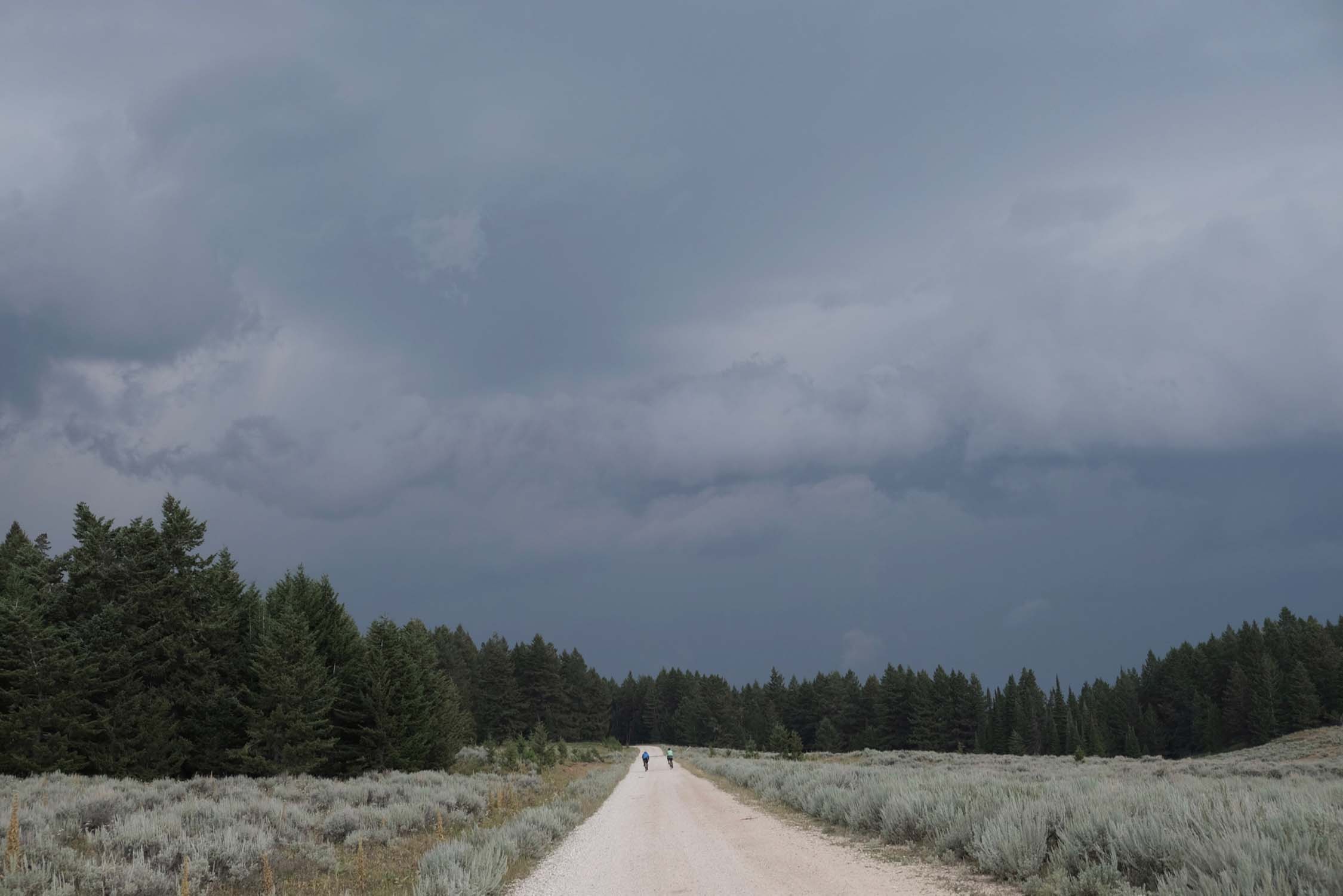
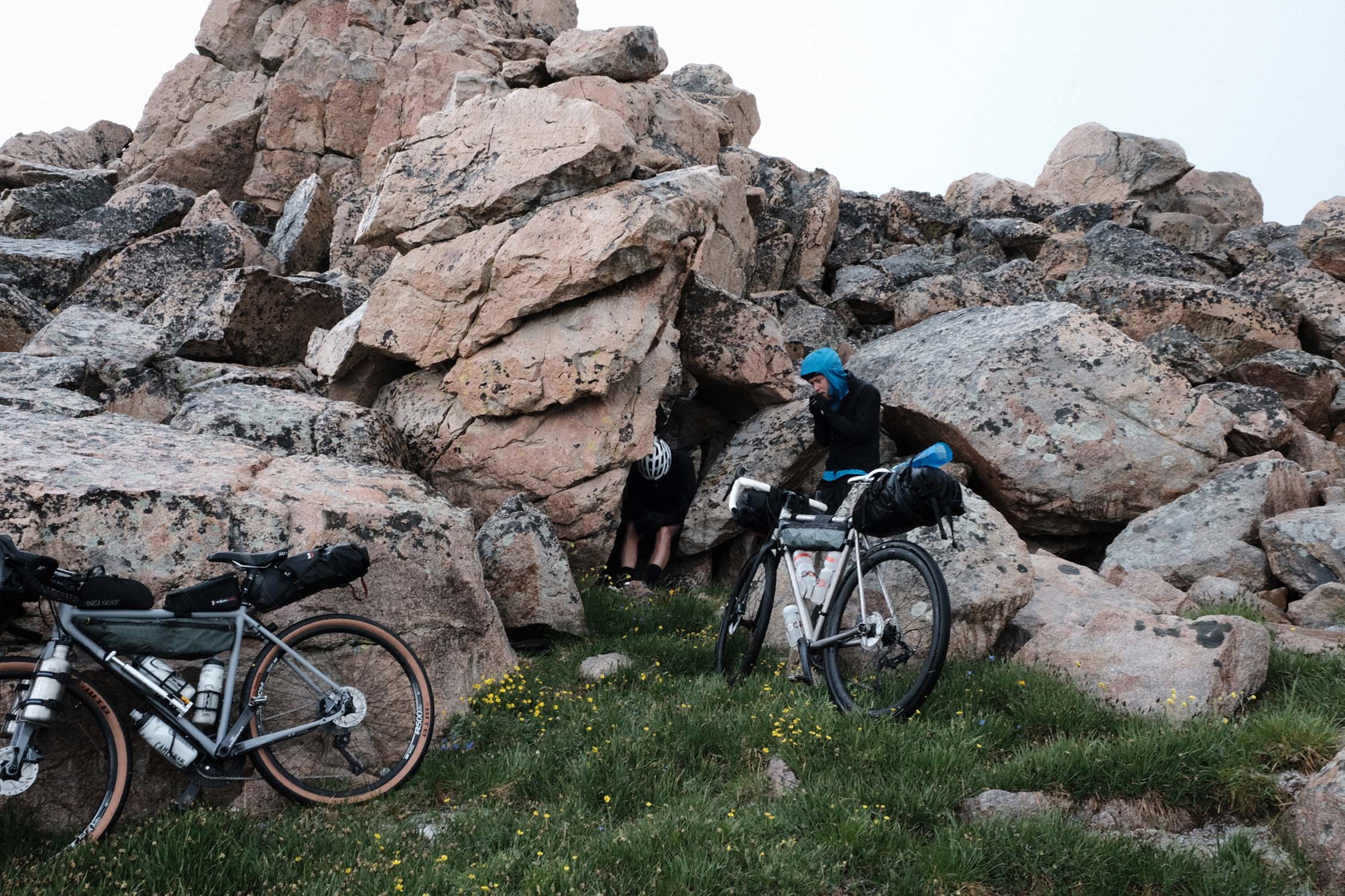
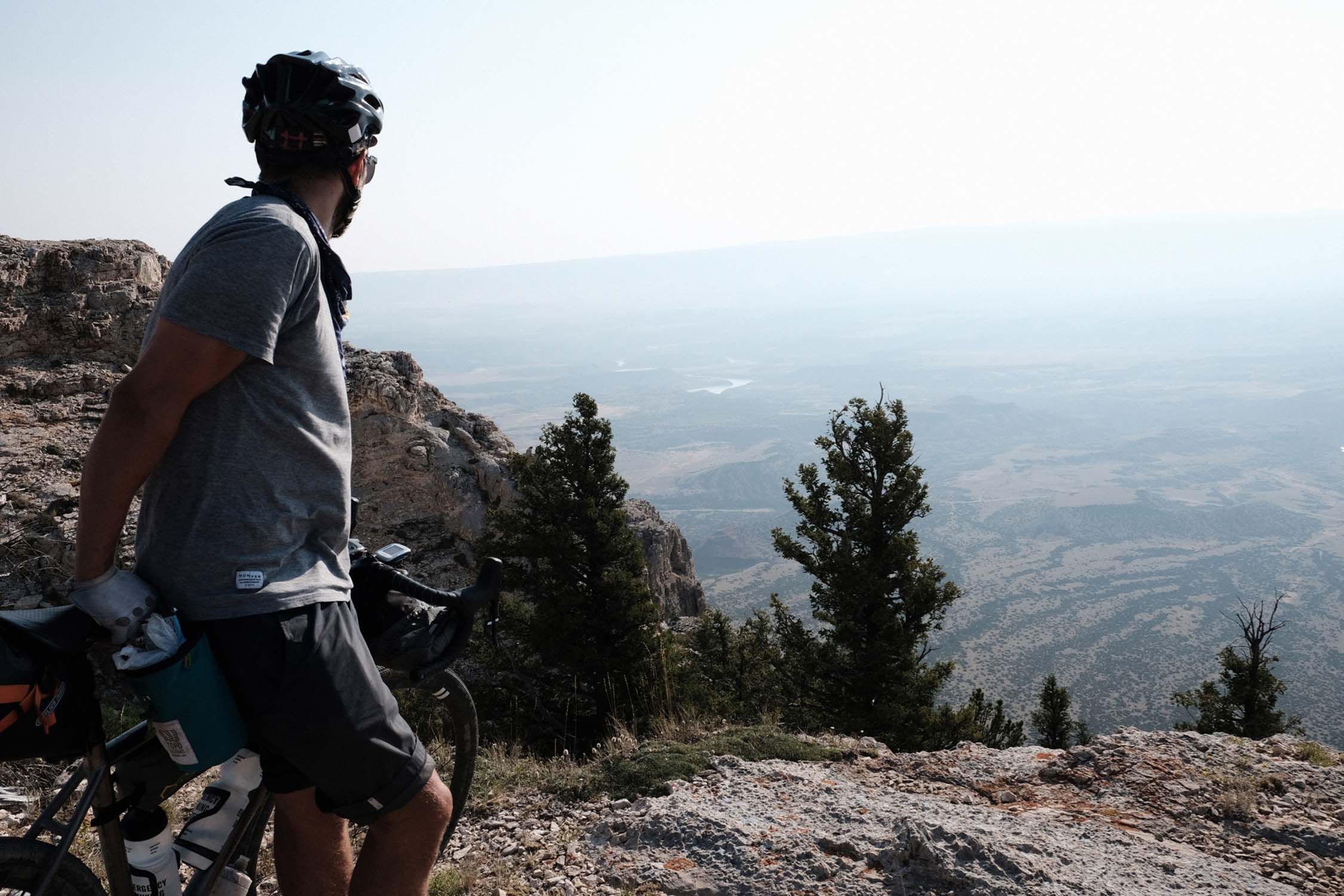
The difficulty rating reflects a number of factors. Firstly, the road climbs, while not steep, are long and can demand three or four continuous hours of ascending in the heat up to substantial elevation. Secondly, even though resupply is at least every other day, water can be scarce. Thirdly, the day(s) in the Pryor Mountains include a long rugged uphill on a track with loose rocks and occasional sand. Expect to hike-a-bike 10-15 minutes at a time at least three or four times. Finally, weather can be challenging with cold rain and hail storms high up.


Submit Route Alert
As the leading creator and publisher of bikepacking routes, BIKEPACKING.com endeavors to maintain, improve, and advocate for our growing network of bikepacking routes all over the world. As such, our editorial team, route creators, and Route Stewards serve as mediators for route improvements and opportunities for connectivity, conservation, and community growth around these routes. To facilitate these efforts, we rely on our Bikepacking Collective and the greater bikepacking community to call attention to critical issues and opportunities that are discovered while riding these routes. If you have a vital issue or opportunity regarding this route that pertains to one of the subjects below, please let us know:
Highlights
Must Know
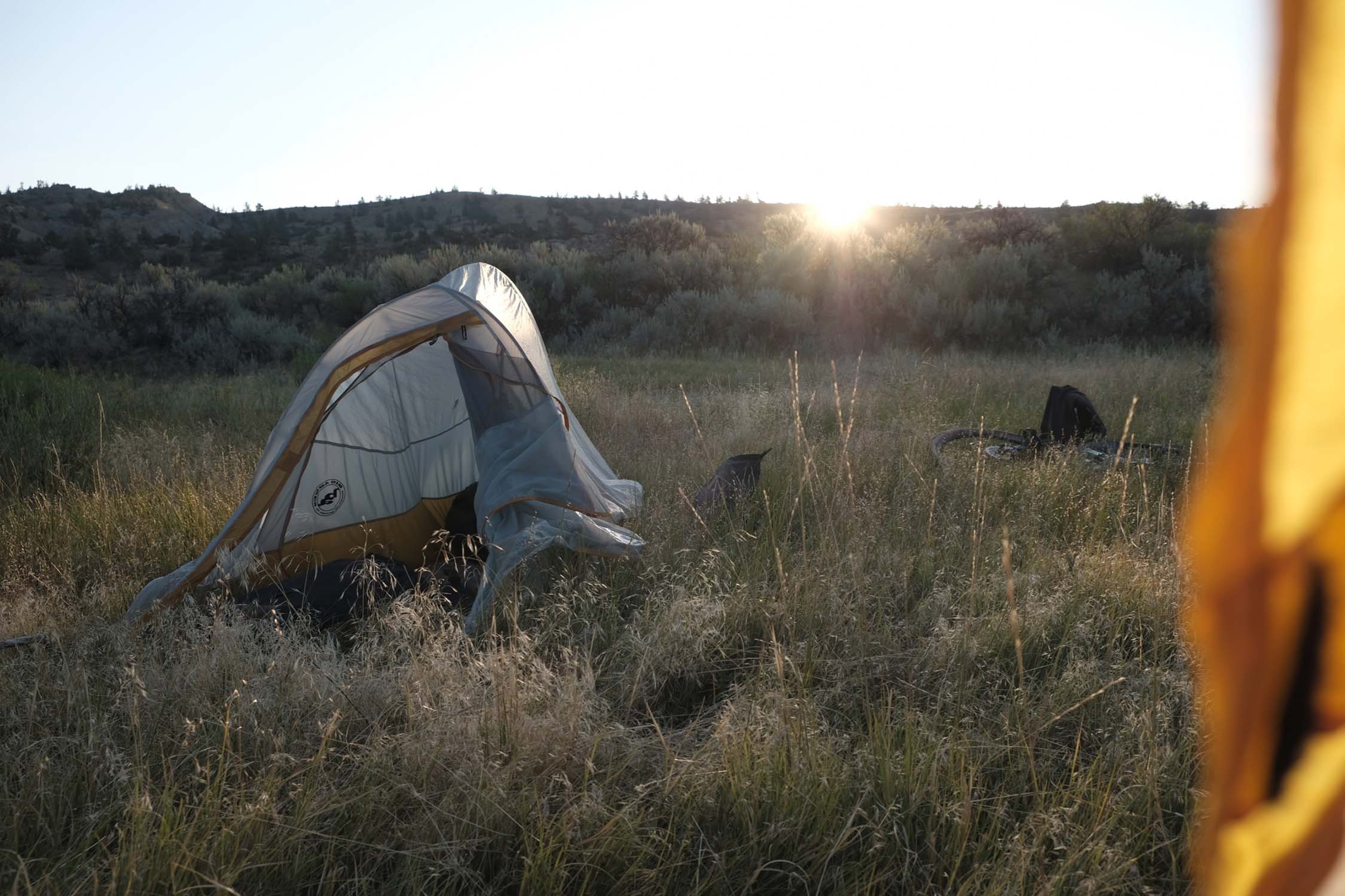
Camping
Food/H2O
Trail Notes
- Iconic roads of the Western USA, including the Beartooth Highway, declared 25 years ago by the television show On the Road as the most scenic road in the nation.
- Mix of perfect asphalt ascents and long fast descents with substantial and challenging dirt sections.
- Beartooth Pass at 11,000 feet (3350m), and several more high points over 9,000 feet (2750m).
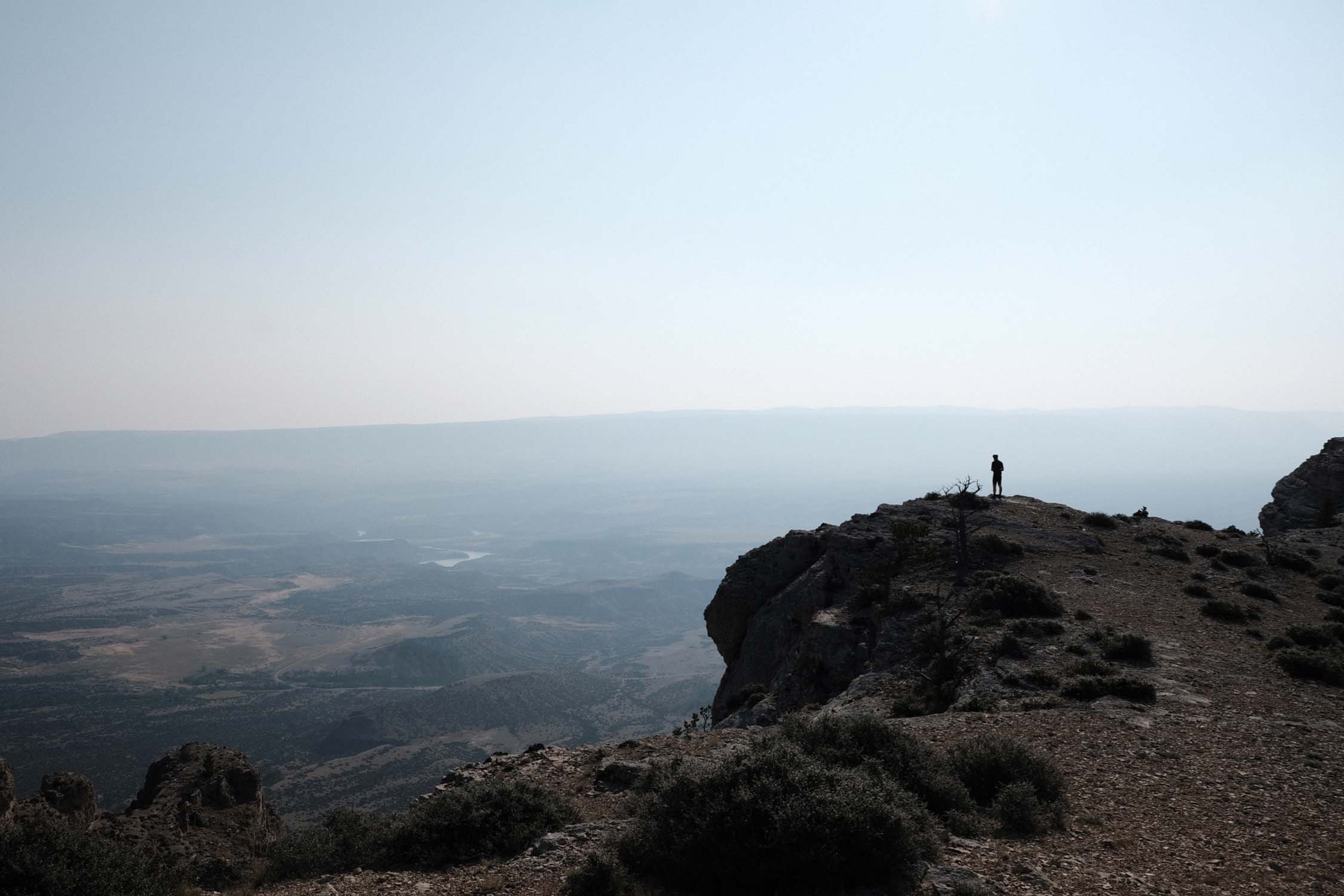
- The chance to see wild mustangs in very sparsely visited Pryor Mountains.
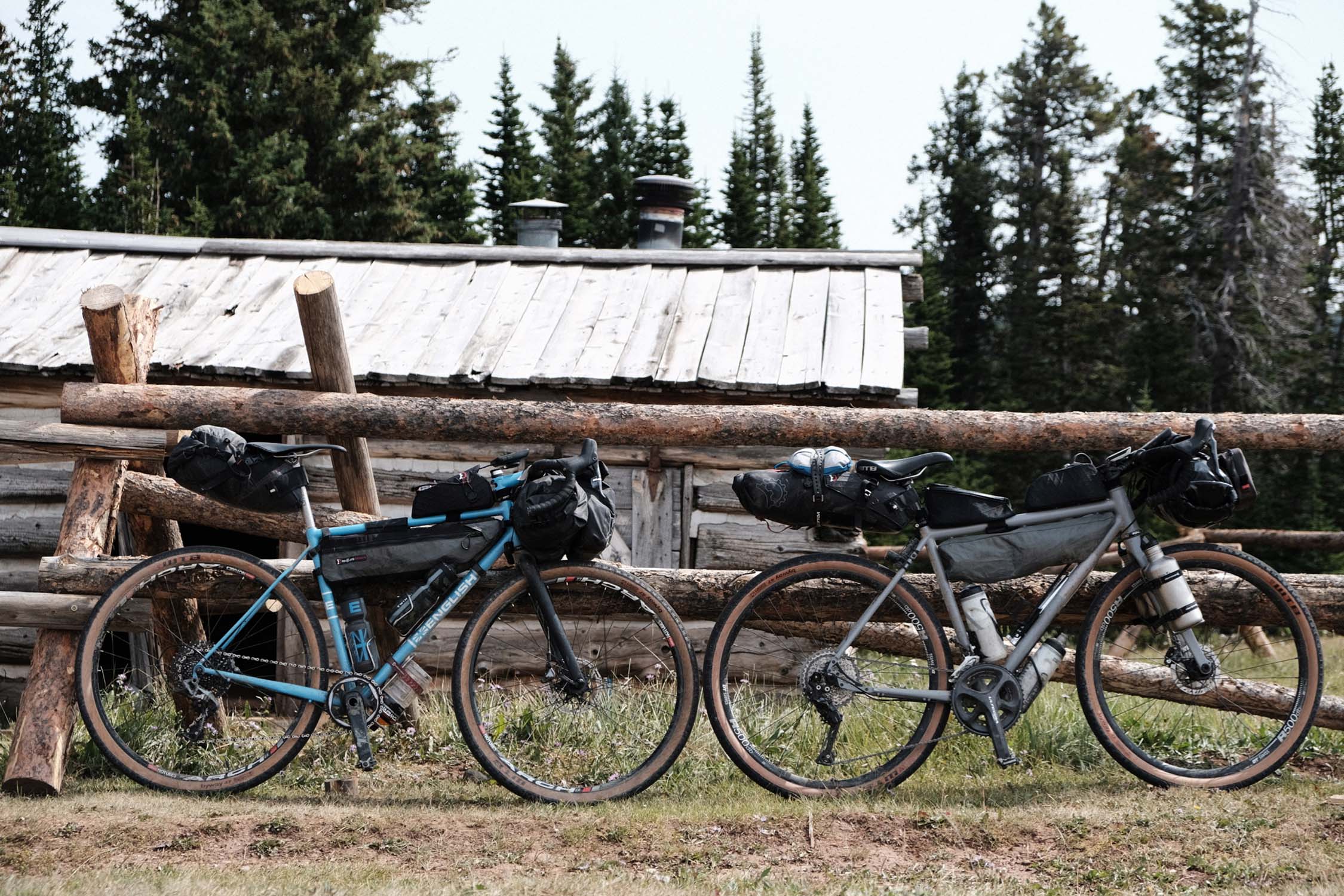
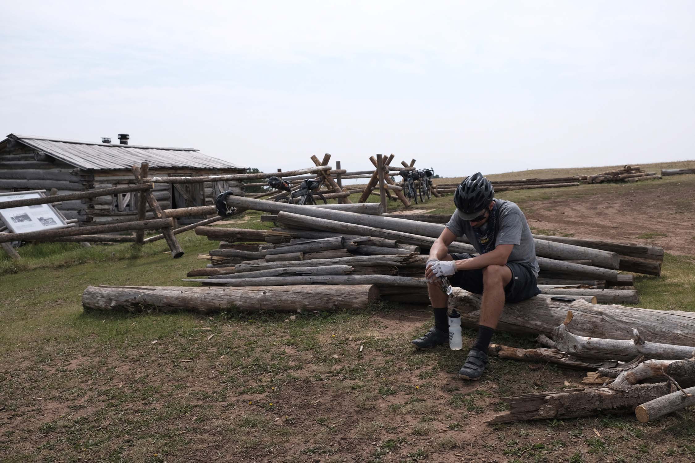
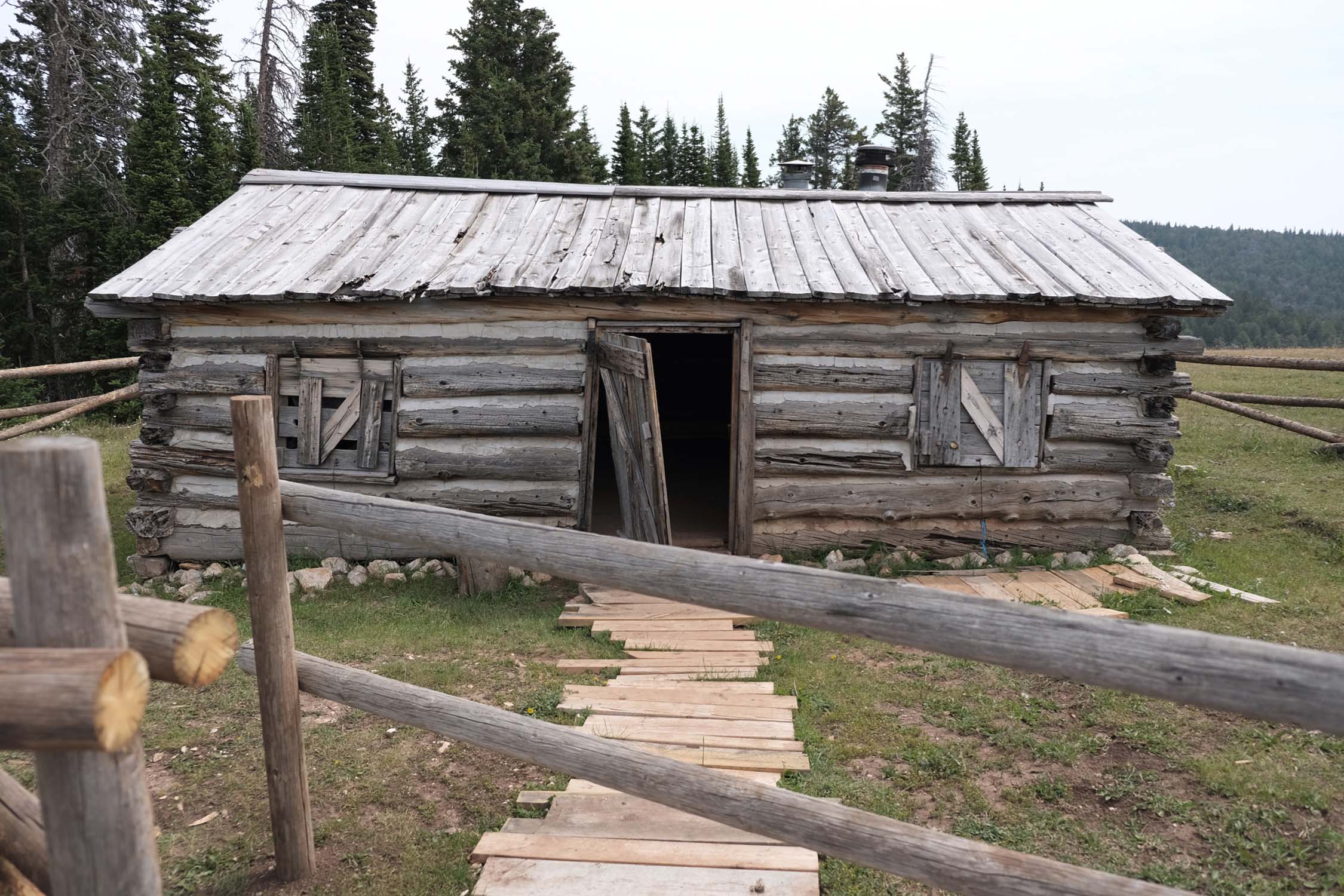
- Stay in a historic mountain cabin in the Pryors.
- Ranch and farm country in the valleys, towering mountains above.
- Billings, Montana: an unassuming Western town with a great downtown.
- This is a summer route, i.e., mid June to late August, due to snow at the higher elevations for much of the year. Severe weather can come at any time, so consult forecasts and bring appropriate gear including a hooded rain jacket, a puff vest, leg warmers, and warm gloves.
- Lower elevations are sunny, hot, and dry. Bring sunscreen.
- Major airlines serve Billings, Montana, the beginning and end of the route.
- Mind your H2O: the McCullough Peaks, Shell Canyon, and Pryor sections of the route have very little water access. Carry at least four liters and top off whenever you have the opportunity.
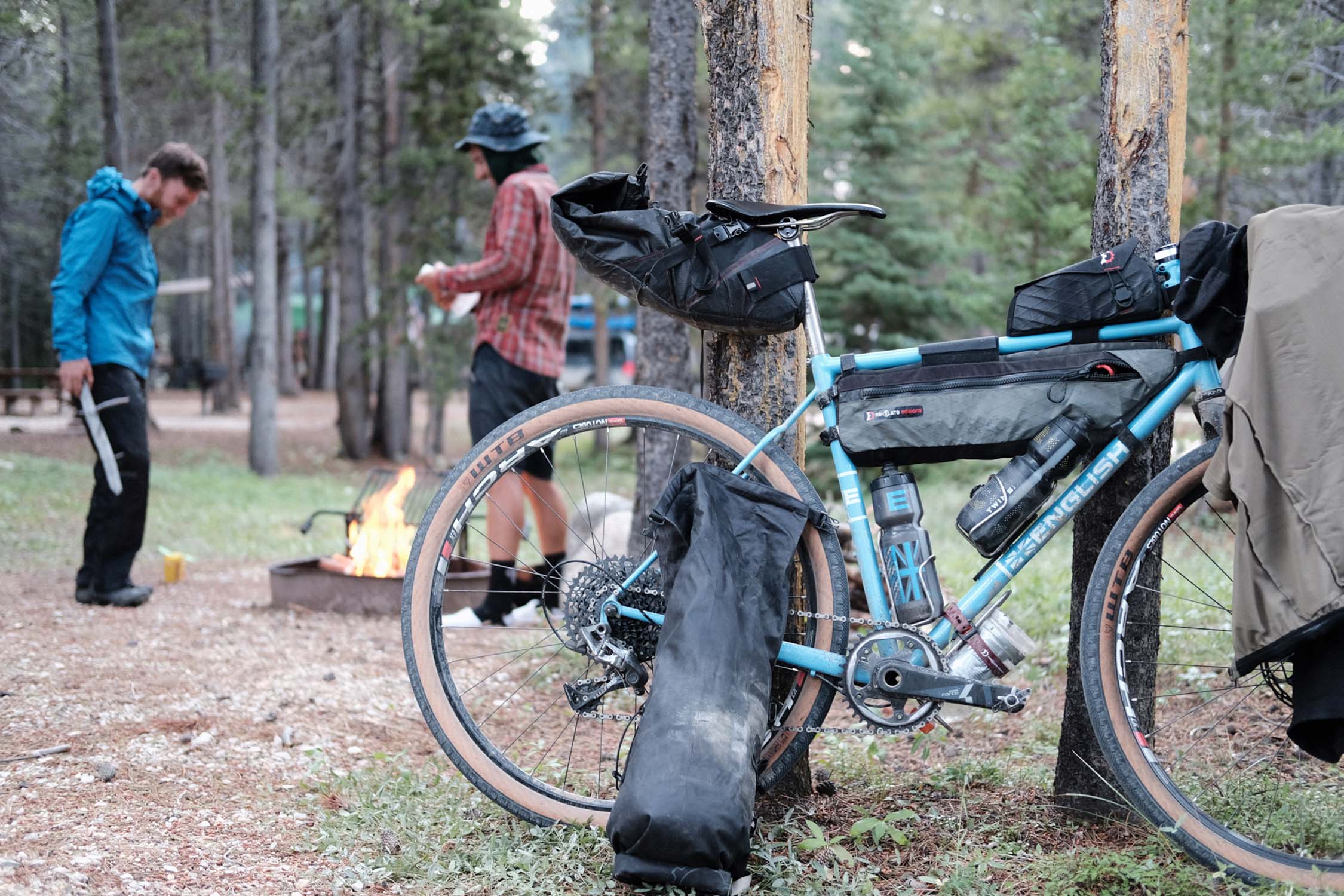
- Much of the route is through bear country. Established campgrounds will usually have bear lockers for storing food. Otherwise, hang food and toiletries away from your tent as high up in a tree as you can.
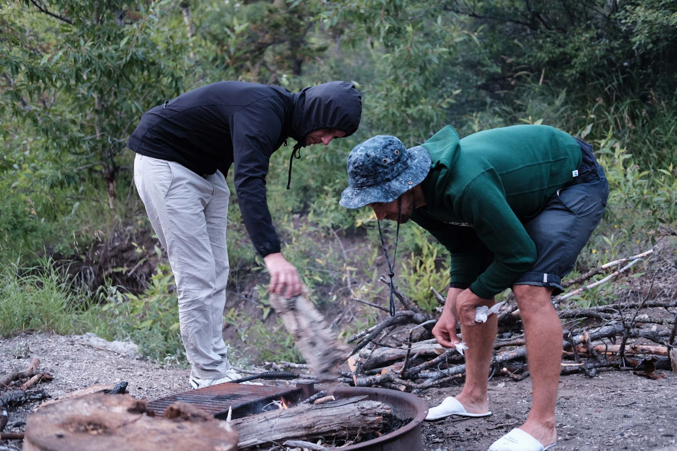
- In both the Beartooth Range and the Bighorn Range there are numerous National Forest Service campgrounds. Some of these can be reserved in advance online while others are filled on a first come, first served basis. They usually cost between US$10 and US$16 for a site and each site typically accommodates up to eight campers. (We have marked some, but far from all of the campgrounds on the map.) We traveled this route during the first week of August and none of the campgrounds we stayed in were full. Still, once you have sketched your itinerary, it is probably a good idea to reserve campsites where possible.
- The route through the Pryor Mountains is primarily on BLM land where primitive camping is permitted. Please #leavenotrace.
- In the Pryor Mountains there are two cabins open and available to travelers without cost or reservations. One is maintained by the BLM and the other is privately owned but with all invited to stay (see map). Do the right thing and leave these even cleaner and tidier than the way you found them.
- There is motel/hotel lodging as well as a few commercial campgrounds in Cody, Greybull, and Lovell.
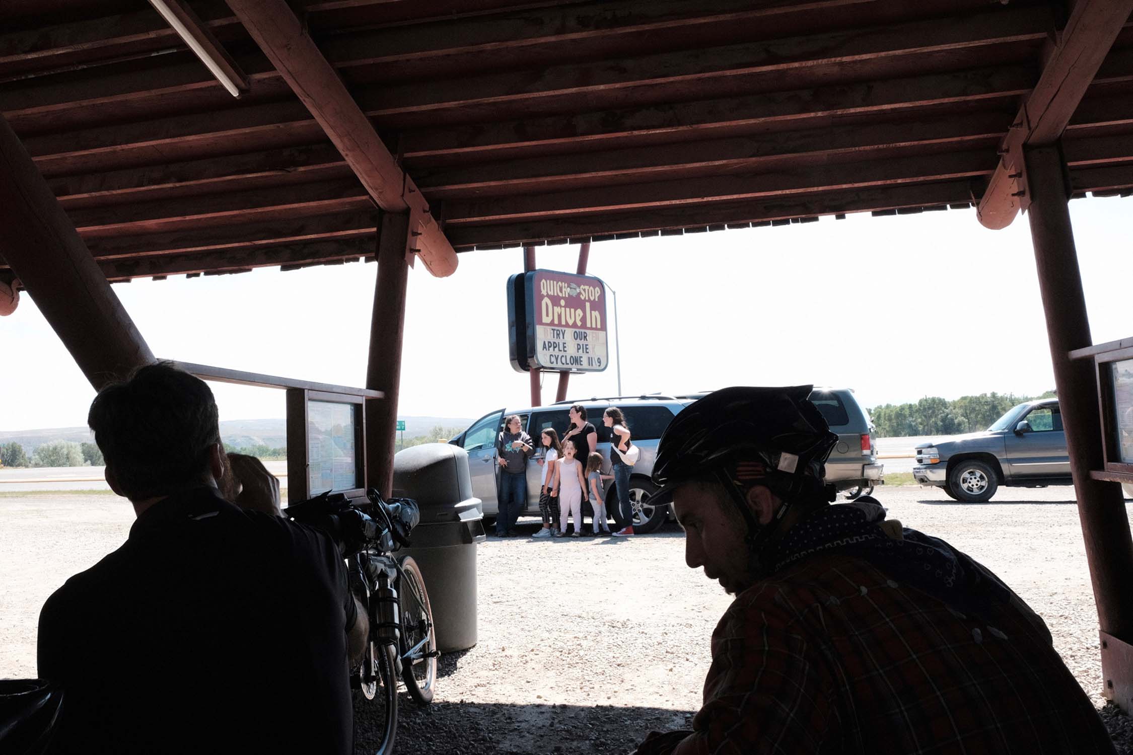
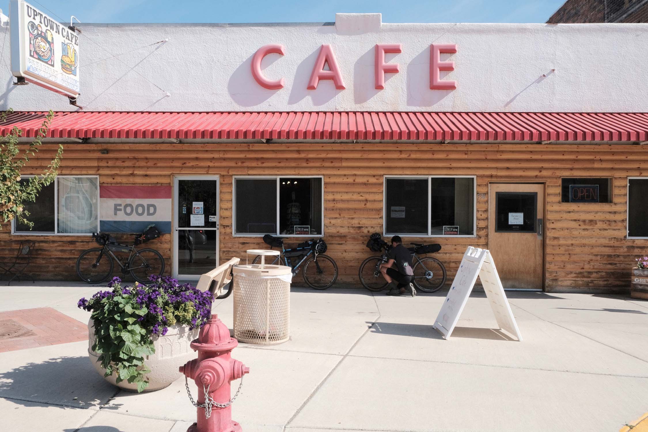
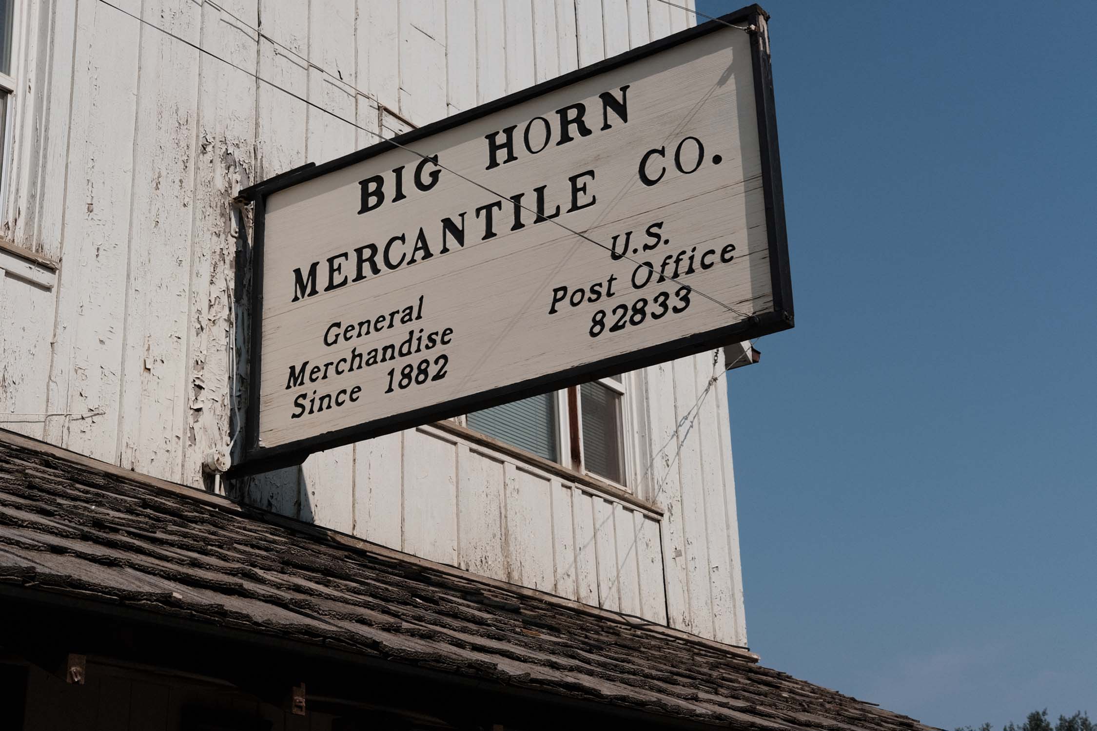
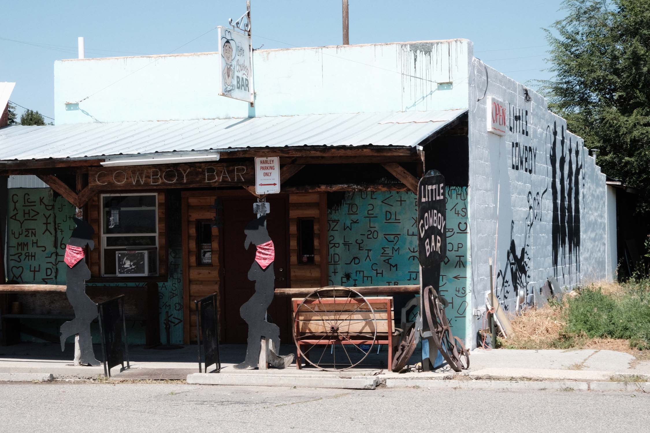
- Find grocery stores, pubs, and restaurants in Red Lodge, Cody, Greybull, Dayton, and Lovell. Smaller stores can be found in Bearcreek, midway on the Beartooth Highway, on Chief Joseph Highway, and in Burlington, Shell, and Bighorn.
- Resupply in Lovell with enough provisions to last until Billings.
- Certainly bring a filtration system to fill bottles from creeks and streams.
- Campgrounds often have a pump well. Even if you are not staying the night at a campground, it is useful to go in and use the well to top off bottles.
- Take note of the pond near the high point on East Pryor Mountain. You will fill bottles there. (If it is late afternoon it is possible that you’ll share the pond with wild horses.)
- Either a 35mm+ 700c or a 42mm+ 650b tire on a drop bar bike seems right to us for this trip. Riding a mountain bike will feel joyless on the significant asphalt ascents and descents, while road bikes, even with 28mm tires, will be severely overwhelmed (don’t do it!) on the dirt sections.
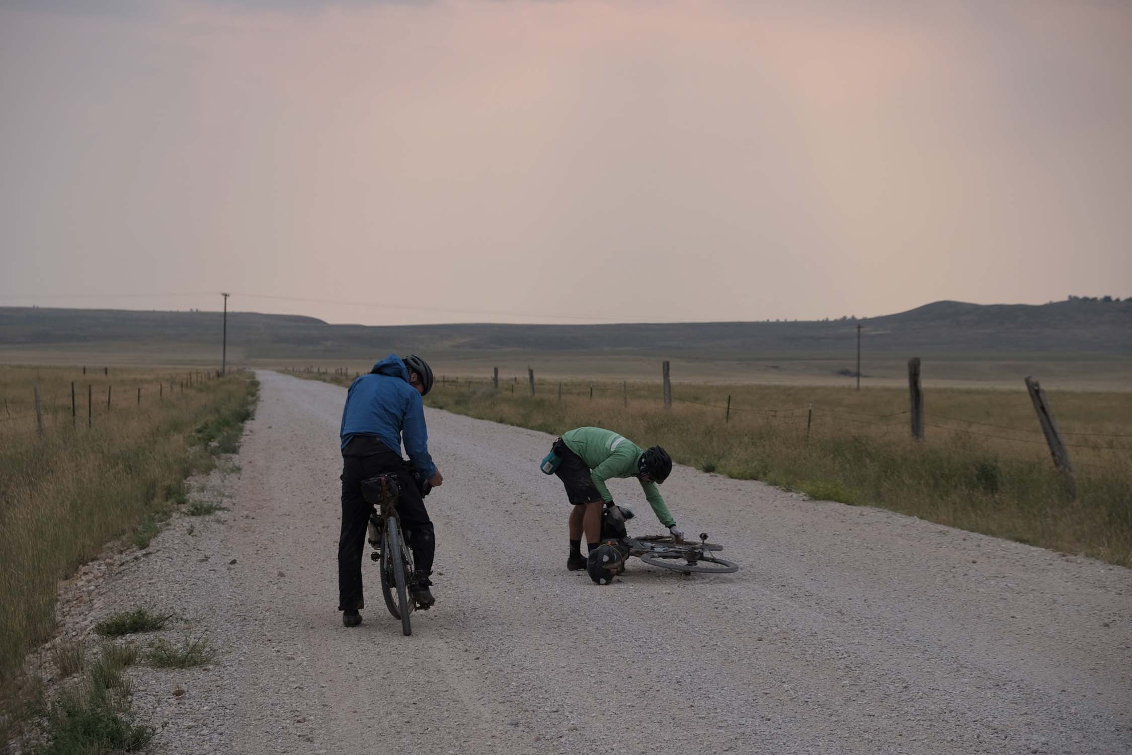
- Travel light, as there will be bike pushing in the Pryor Mountains and possibly on the McCullough Peaks section. In most spots it’s ten minutes here and there between rideable sections, with perhaps the longest push 25 minutes depending on fitness and skill. It is probably possible for an experienced mountain biker to do this loop without having to hike-a-bike at all by riding a plus bike. That, of course, would be mean riding the plus bike on hundreds of miles of tarmac, which may not be everyone’s cup of tea.
- Overall traffic density on the route is very low, but tourists in RVs (caravans) and cars do visit the famous highways in summer, so expect sometimes to share the road.


Terms of Use: As with each bikepacking route guide published on BIKEPACKING.com, should you choose to cycle this route, do so at your own risk. Prior to setting out check current local weather, conditions, and land/road closures. While riding, obey all public and private land use restrictions and rules, carry proper safety and navigational equipment, and of course, follow the #leavenotrace guidelines. The information found herein is simply a planning resource to be used as a point of inspiration in conjunction with your own due-diligence. In spite of the fact that this route, associated GPS track (GPX and maps), and all route guidelines were prepared under diligent research by the specified contributor and/or contributors, the accuracy of such and judgement of the author is not guaranteed. BIKEPACKING.com LLC, its partners, associates, and contributors are in no way liable for personal injury, damage to personal property, or any other such situation that might happen to individual riders cycling or following this route.
Please keep the conversation civil, constructive, and inclusive, or your comment will be removed.