


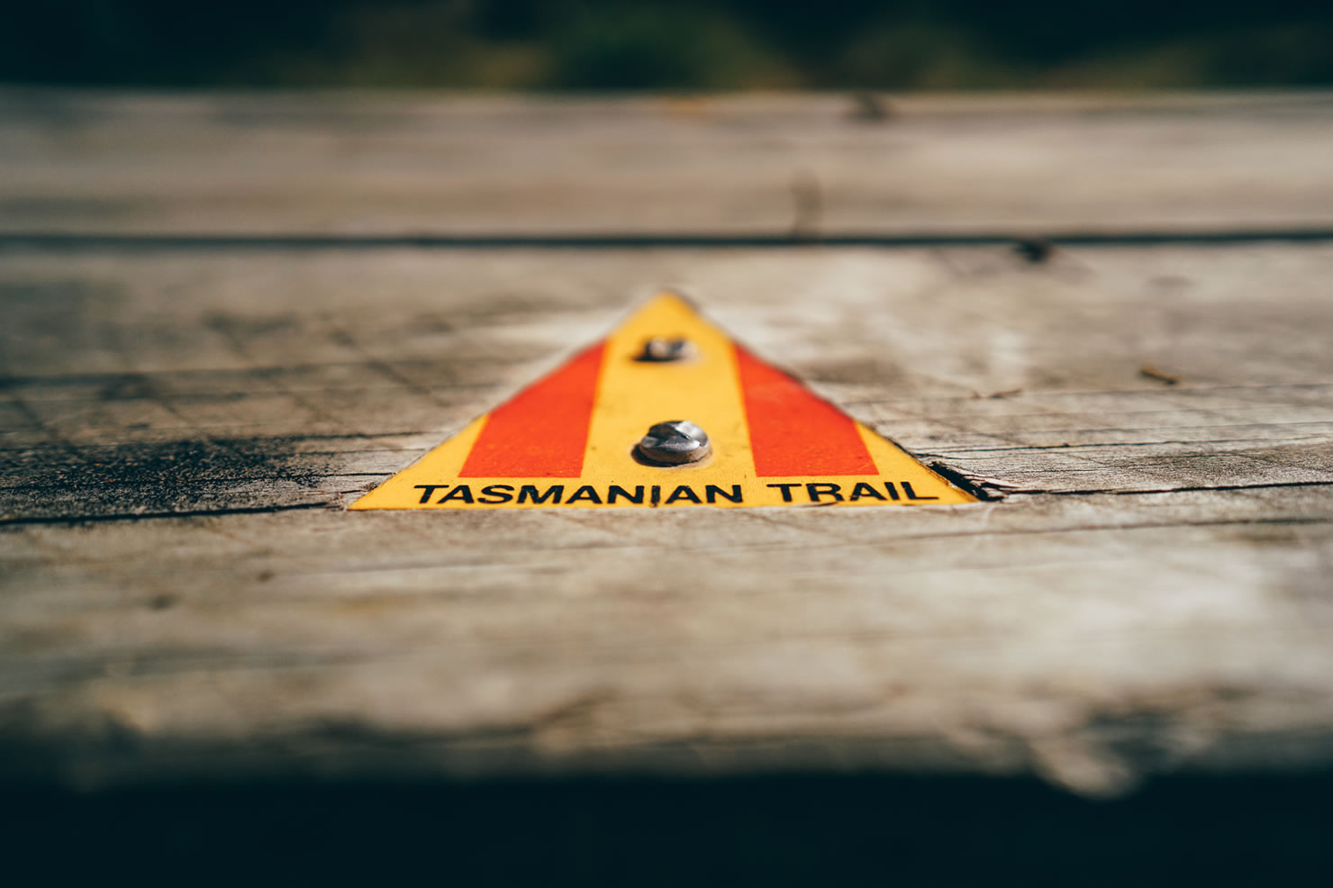
The Tasmanian Trail
Distance
289 Mi.
(465 KM)Days
10
% Unpaved
83%
% Singletrack
3%
% Rideable (time)
98%
Total Ascent
28,850'
(8,793 M)High Point
3,900'
(1,189 M)Difficulty (1-10)
4?
- 7Climbing Scale Strenuous100 FT/MI (19 M/KM)
- -Technical Difficulty
- -Physical Demand
- -Resupply & Logistics
Contributed By
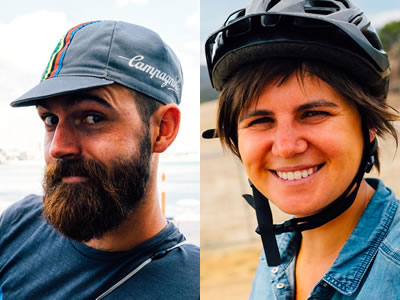
Marine and Maxime
Guest Contributor
When they are not traveling or on a bicycle, Marine and Maxime are respectively architect and green building engineer on Reunion Island. They build housing for others but if you give them the choice, they’ll sleep most of their nights in a tent. Follow them on Flickr.
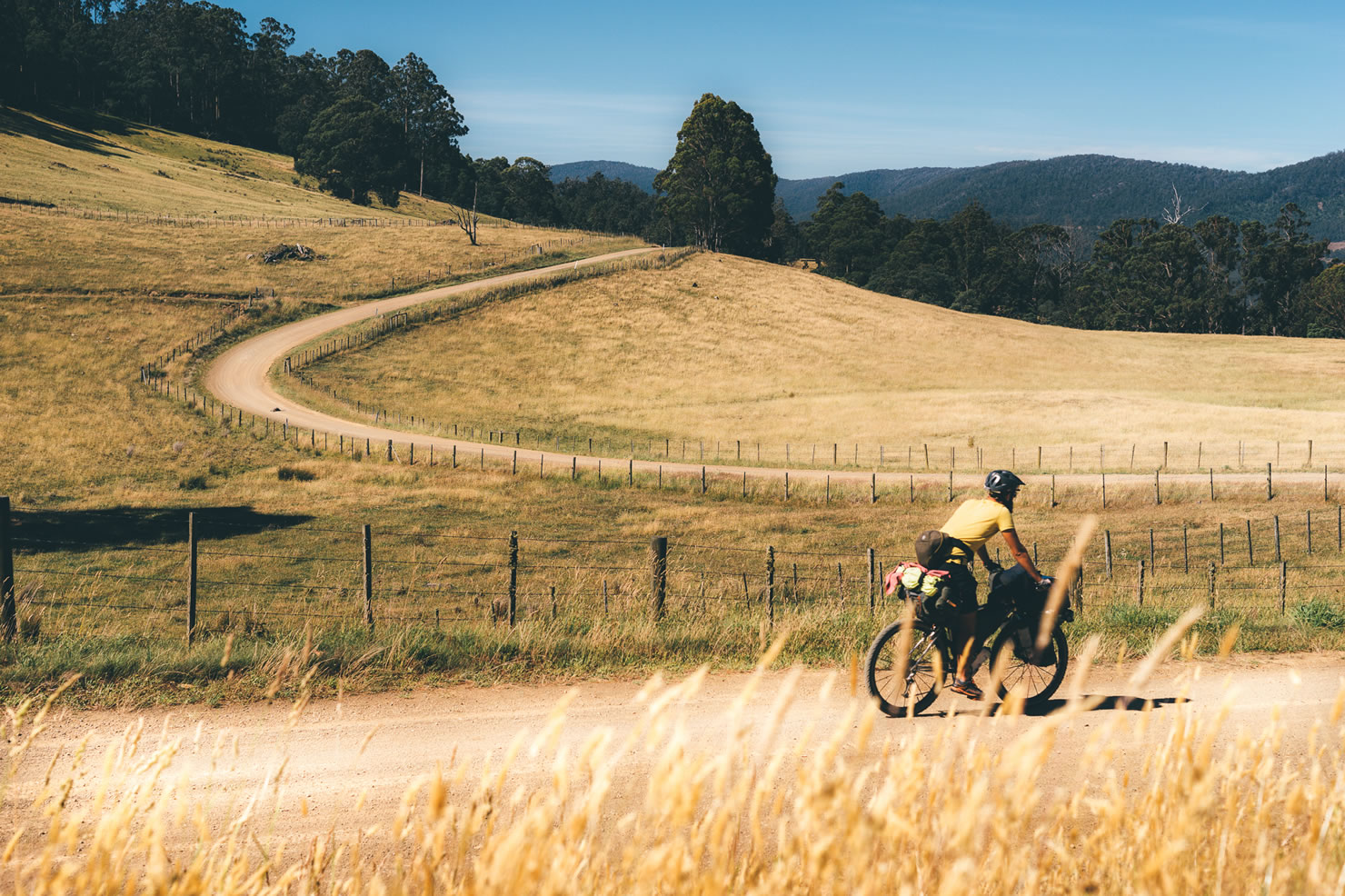
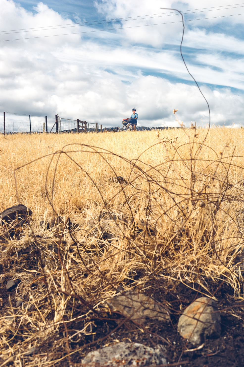
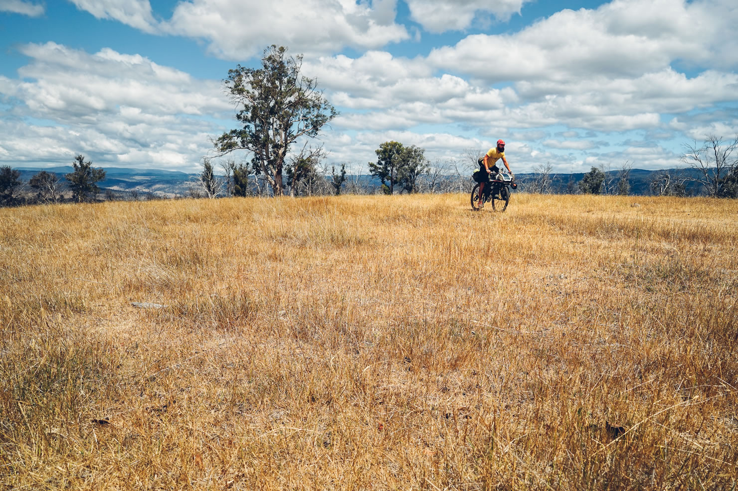
As one moves through Tasmania, the landscape seems to be ever-changing, even on a short bike journey. It seems Tasmanians keep this natural wonder a secret to preserve its unique beauty, gorgeous wildlife and unspoiled wilderness. After riding the Tasmanian Trail, you may understand why and consider leaving your old life behind to settle on this peaceful island.
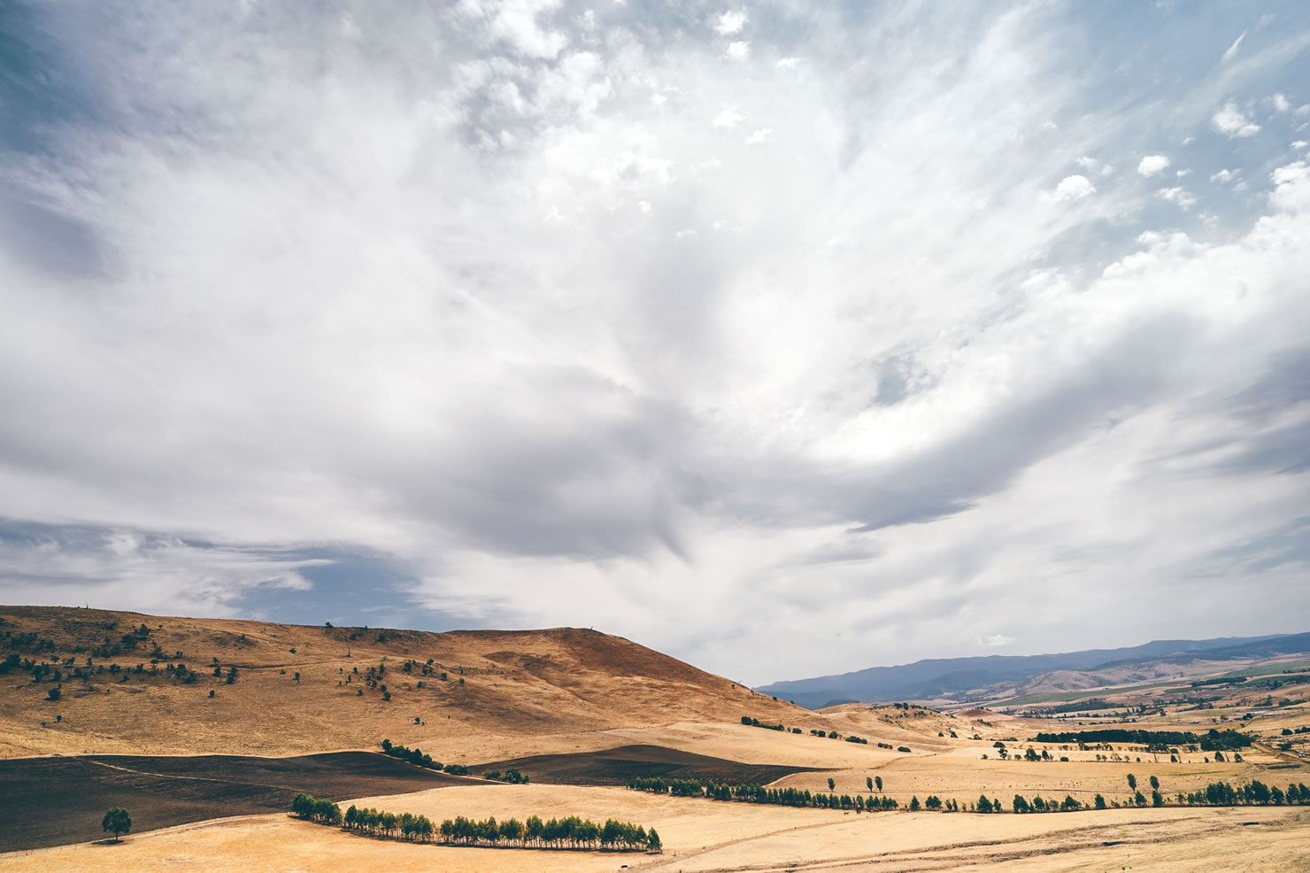
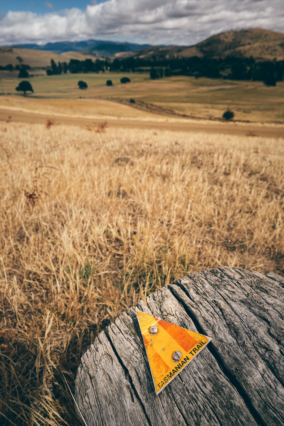
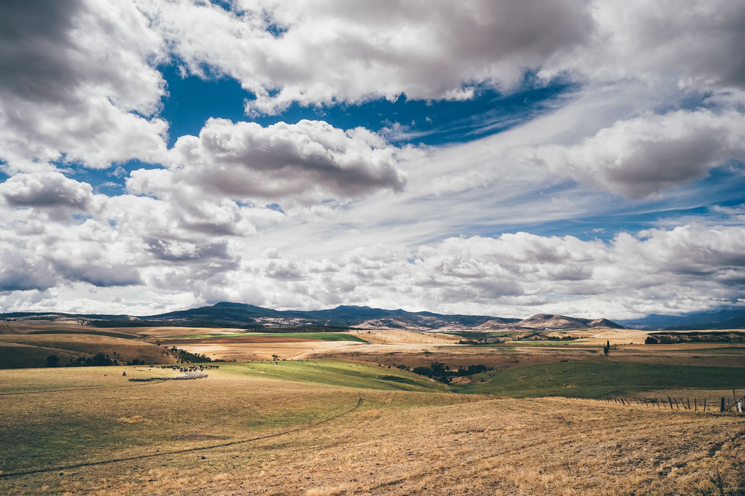
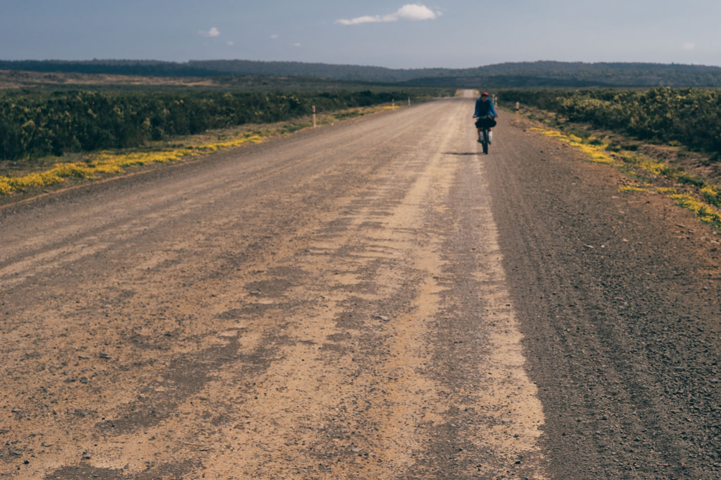
The route follows mainly the Tasmanian trail Coast to Coast, from the Dover in the south to the northern town of Devonport. The trail is designed for horse riders, walkers and mountain bikers, and is marked 95% of the way. It aims to link small villages by trails, forestry roads and gravel country roads. It is designed for people to experience the scenic vistas the country has to offer — from the fertile lands of the Huon valley to the bold landscape of the Central Plateau, from the dense primal forest of the Forested Range, to the endless hops fields along the Dervent Valley River.


Submit Route Alert
As the leading creator and publisher of bikepacking routes, BIKEPACKING.com endeavors to maintain, improve, and advocate for our growing network of bikepacking routes all over the world. As such, our editorial team, route creators, and Route Stewards serve as mediators for route improvements and opportunities for connectivity, conservation, and community growth around these routes. To facilitate these efforts, we rely on our Bikepacking Collective and the greater bikepacking community to call attention to critical issues and opportunities that are discovered while riding these routes. If you have a vital issue or opportunity regarding this route that pertains to one of the subjects below, please let us know:
Highlights
Must Know
Camping
Food/H2O
Trail Notes
Resources
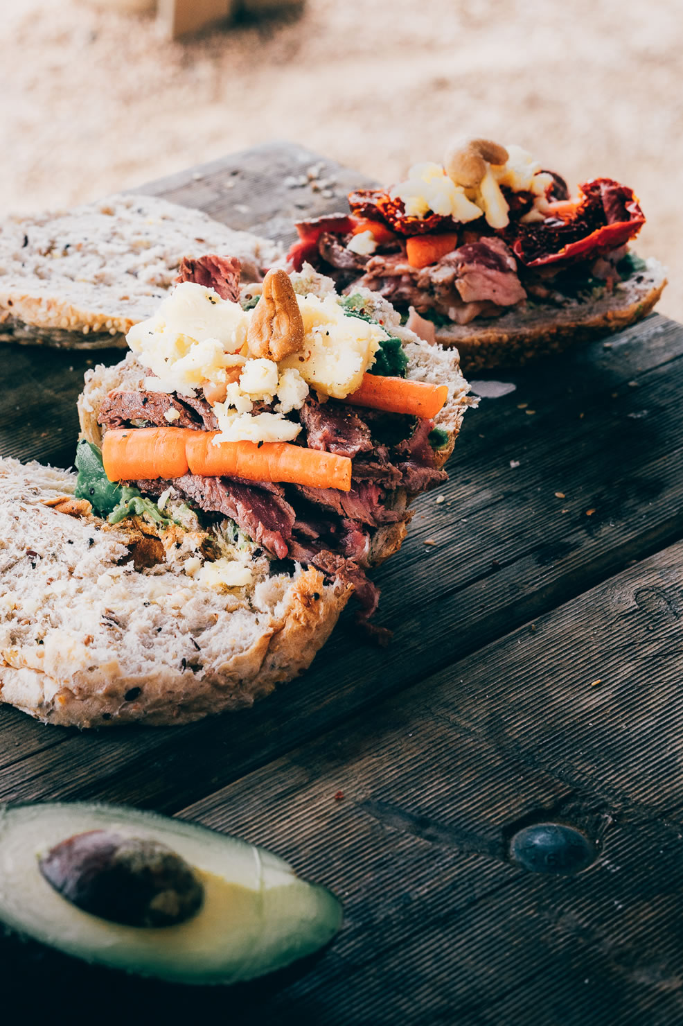
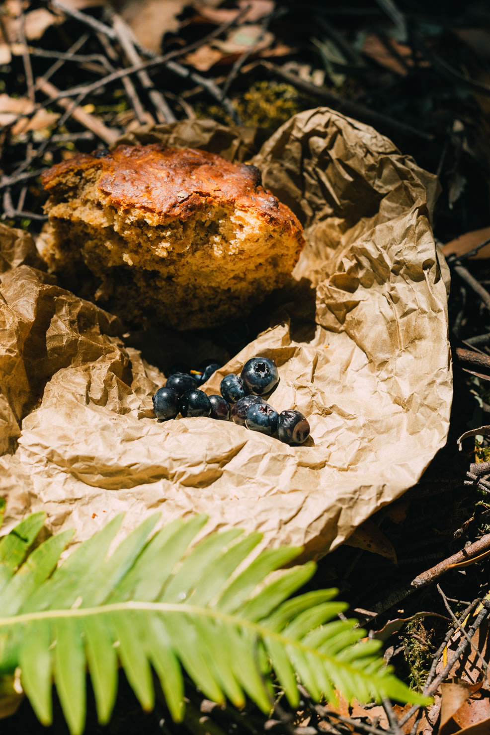
- The route starts on the southern coast; don’t forget to load your bags and stomach with the high quality sea food and fruits of the region before you leave Dover (Salmon farming nearby).
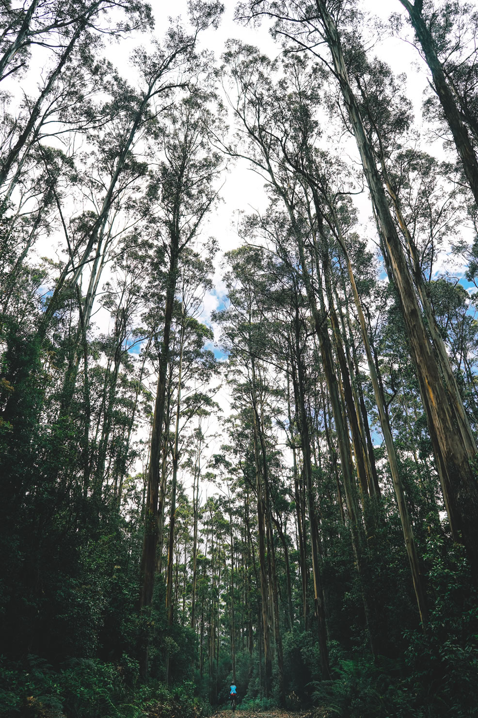
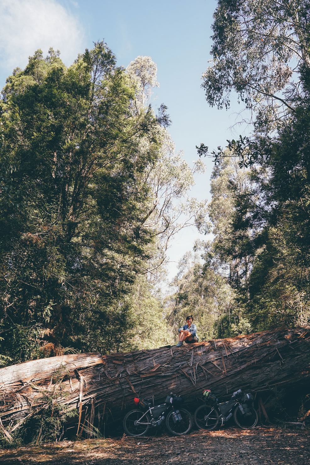
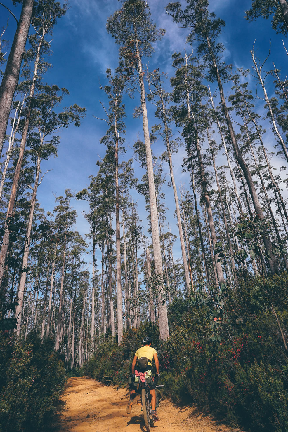
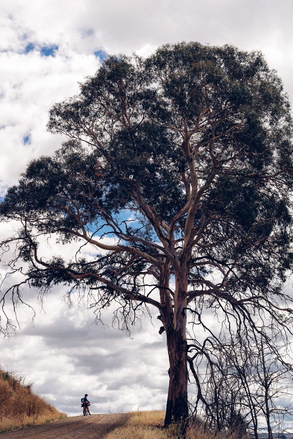
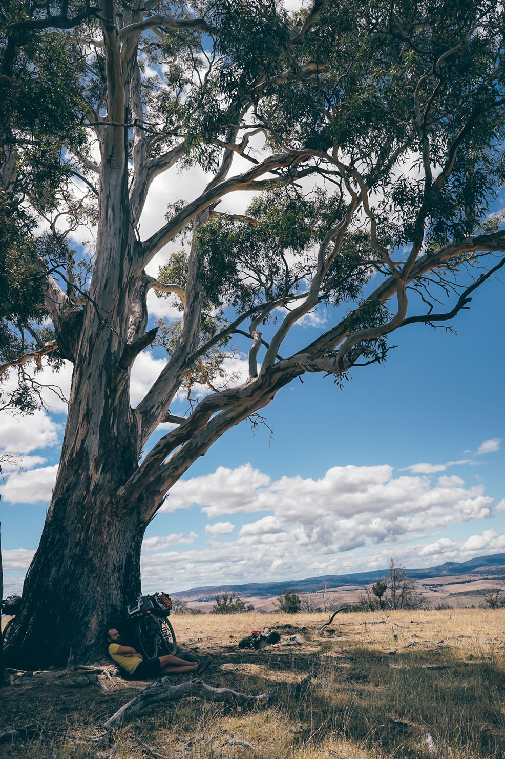
- Spend a bit of time feeling very small under giant eucalyptus cracking in the wind of the southern forest.
- Outlook the scenic view of the Dervent Valley hops fields.
- Make good friends with wallabies and opossum along the route (lots of friends!).
- Plan to camp at Dee Lagon and start late the day after to make the most out of the place.
- Good pub food (tenderloin steak is a good choice on the menu) at Brompte Park Village restaurant (8-Pool challenge every Friday night).
- A post (or mid-day) ride beer at Two Meter tall and Seven Sheds breweries (see RWGPS POI’s).
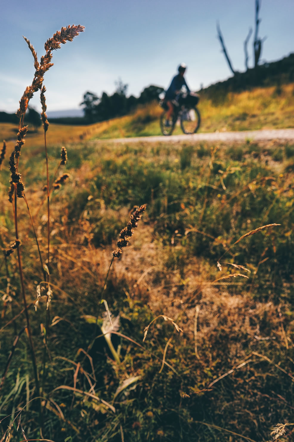
- The pleasure of a tailwind on the central plateau straight gravel road (if you are lucky, we were not!).
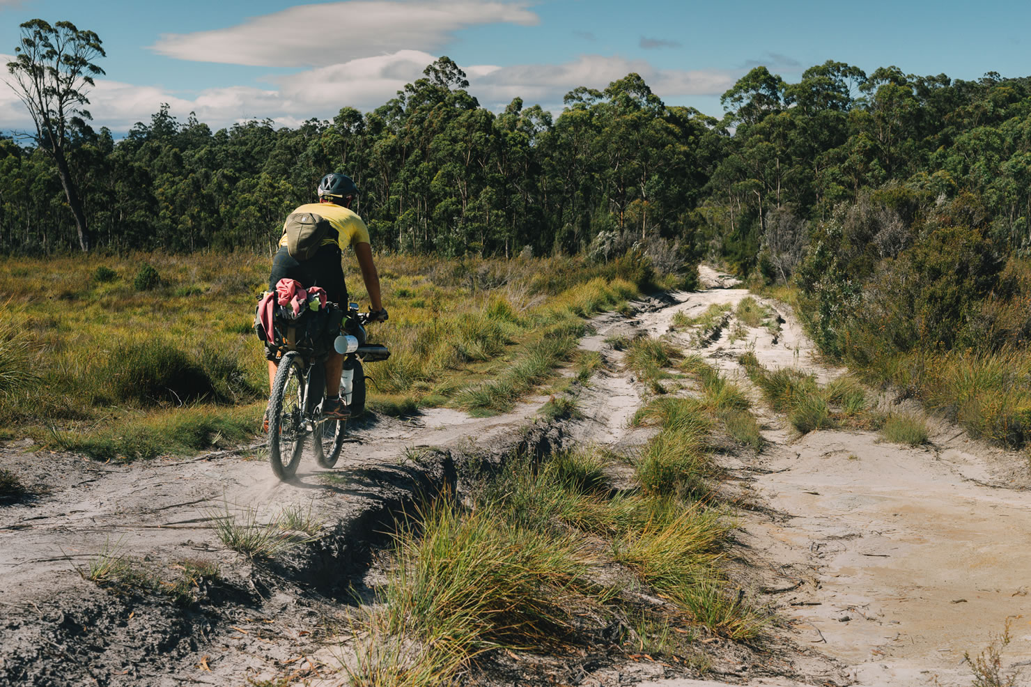
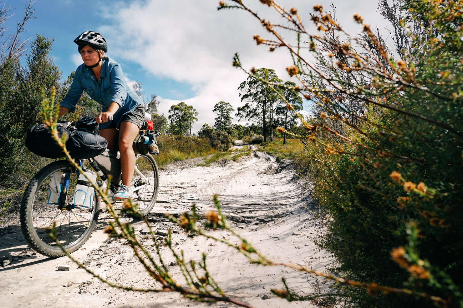
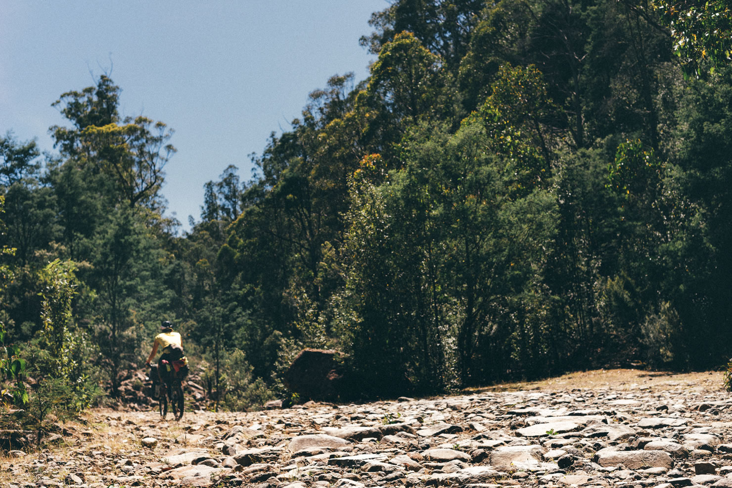
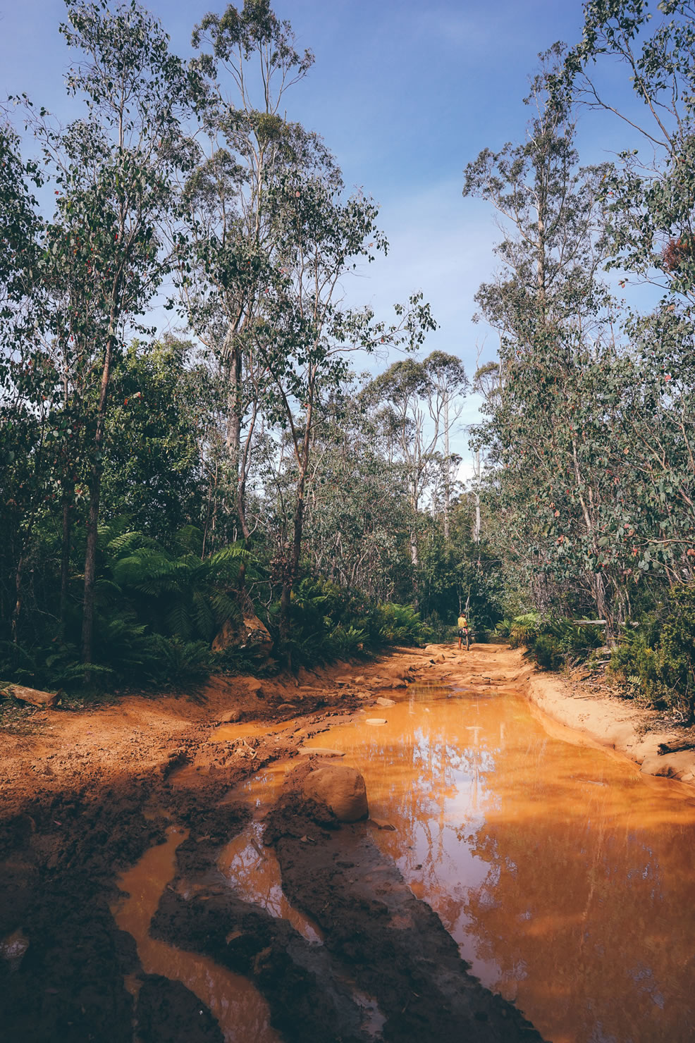
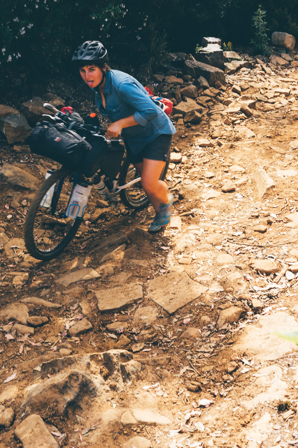
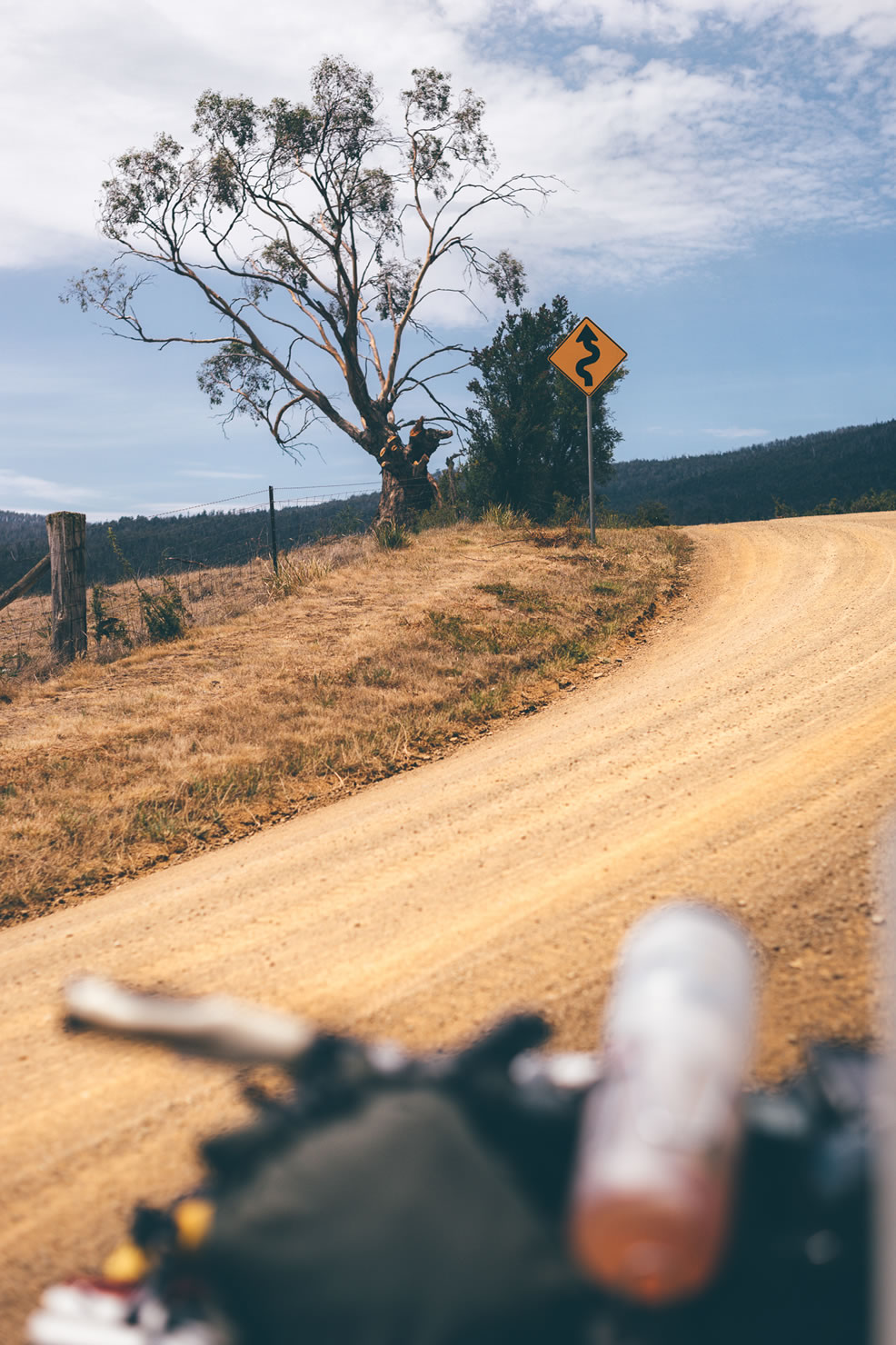
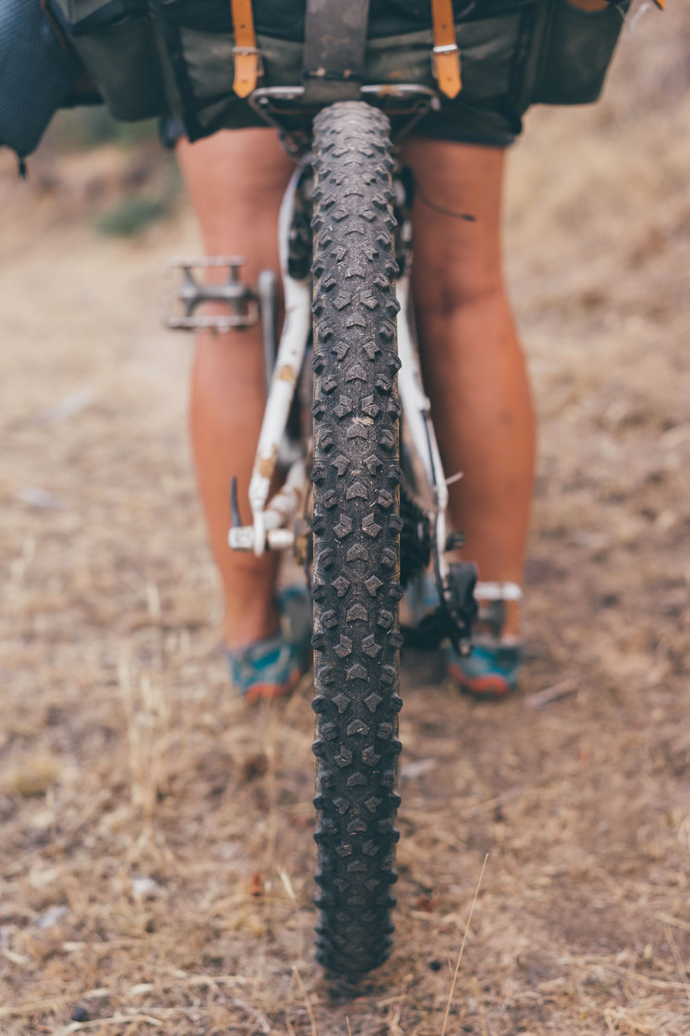
- The route follows mostly gravel road with no major difficulties unless a few very steep and rocky ascents and some rocky terrain, especially in the Southern Forests. If it is very wet period, some part of the trail might be very muddy.
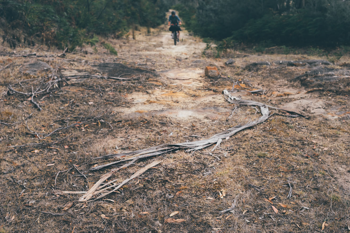
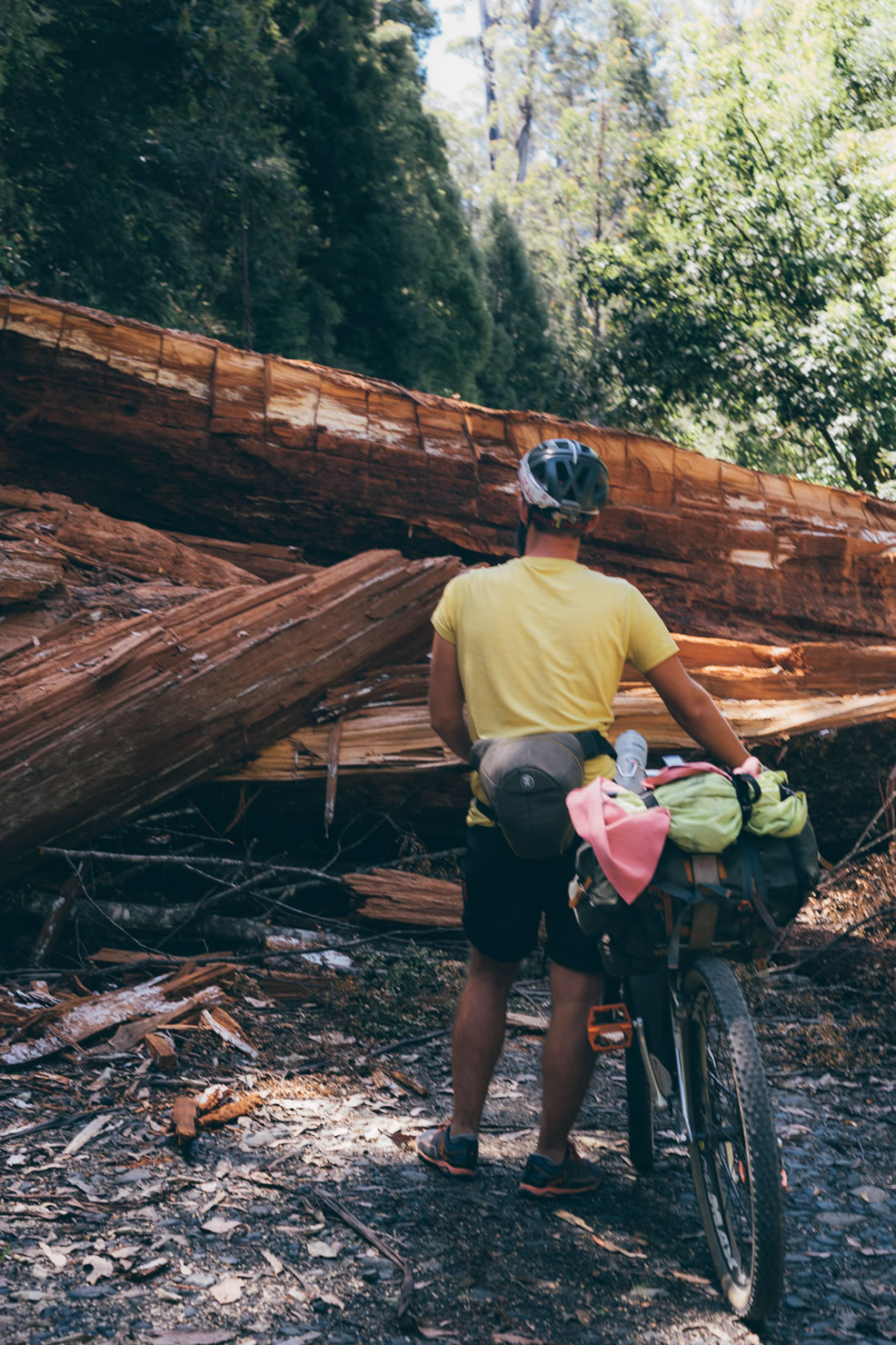
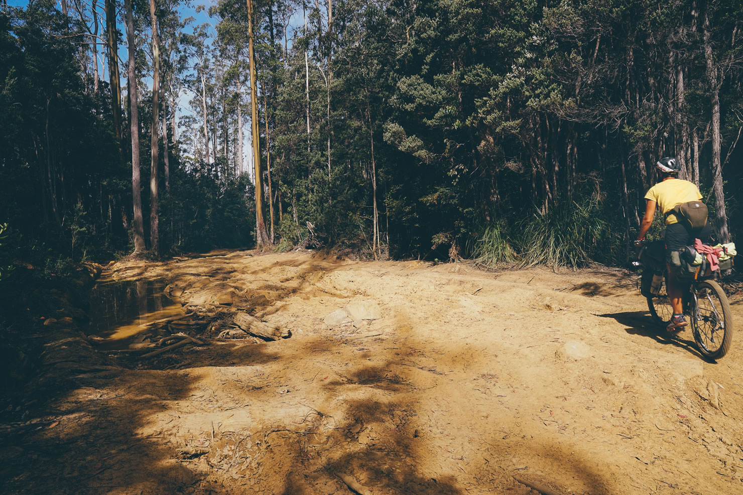
- There are a few river crossing and some big logs on the trail (see pictures).
- Weather can be very changing ( 4 season in one day) but climate is temperate with good influence from the ocean.
- In the dry season, there is a high risk of fire (we experienced this and had to quit the trail for a few tens of miles).
- There are some wild animals along the route (budgerigar, wallabies, buzzard, etc.), some can be dangerous (snakes).
- There are no bike shops on the trail; you should pack the whole repair kit.
- The trail passes a lot of private land and you may require a key to pass the gates. All gates could be pass without key by simply pulling your bike over it. Be respectful to the owner’s land.
- The Tassie trail association edits a guidebook with all the direction from Devonport to Dover, it also offers to organize the key drop for the gates and provide their members with a GPX file (from June 2016).
- The official trail has been designed on a 25-40km/day basis – a campsite, free or payed can be found on this basis. Price ranges from 10-25 AU$ for a tent site.
- There are alternatives to official tassie trail camping spots (see RWGPS POI’s).
- Wikicamps Australia is a great resource for free/payed campsite.
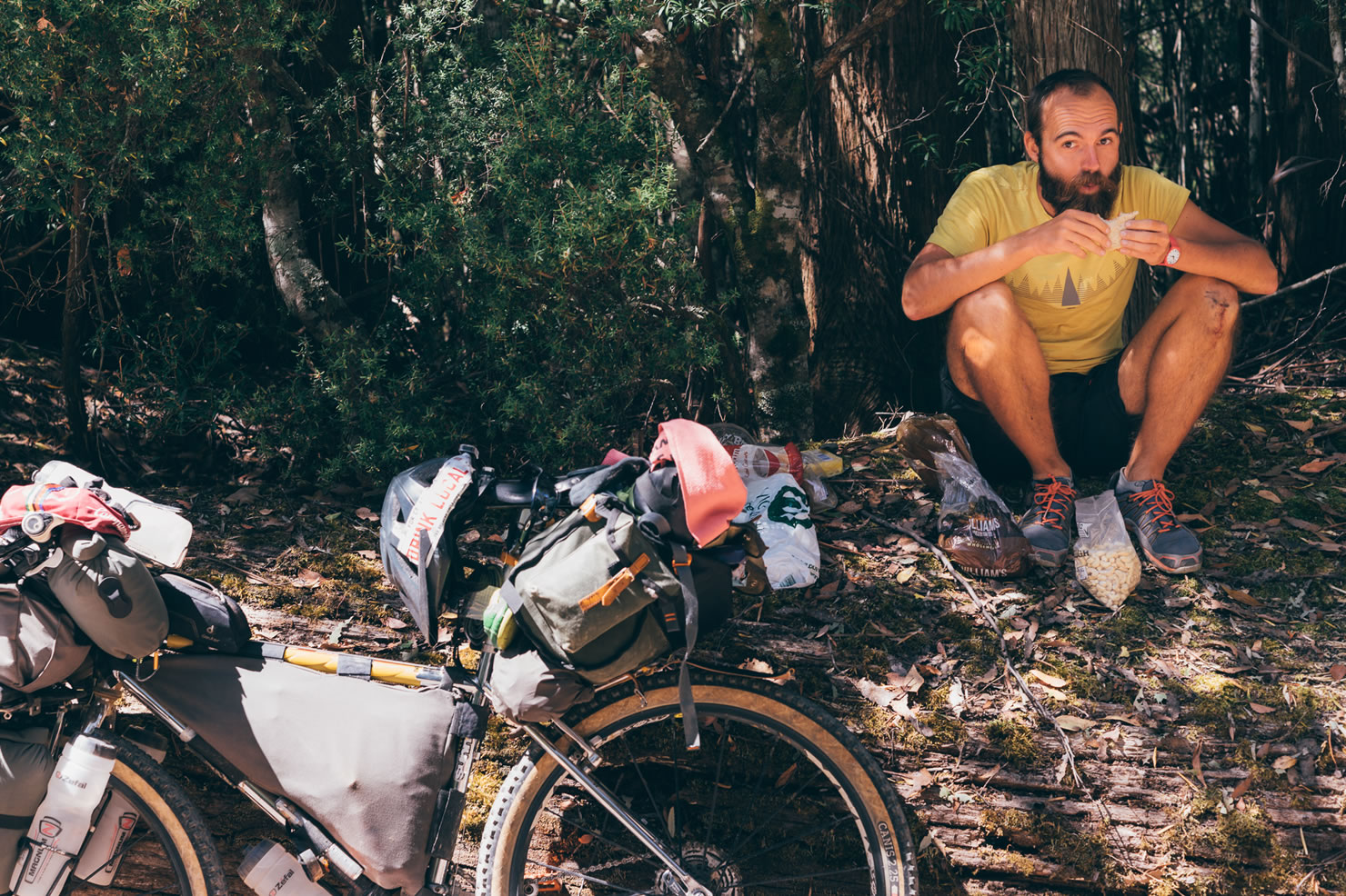
- There are resupply points every 60-80 km maximum.
- They are plenty of food options for a warm meal on the road, when crossing small towns.
- Water can be found every 30 -40 km maximum.
- Water filter is useful as often water comes from rain tank, river or basin.
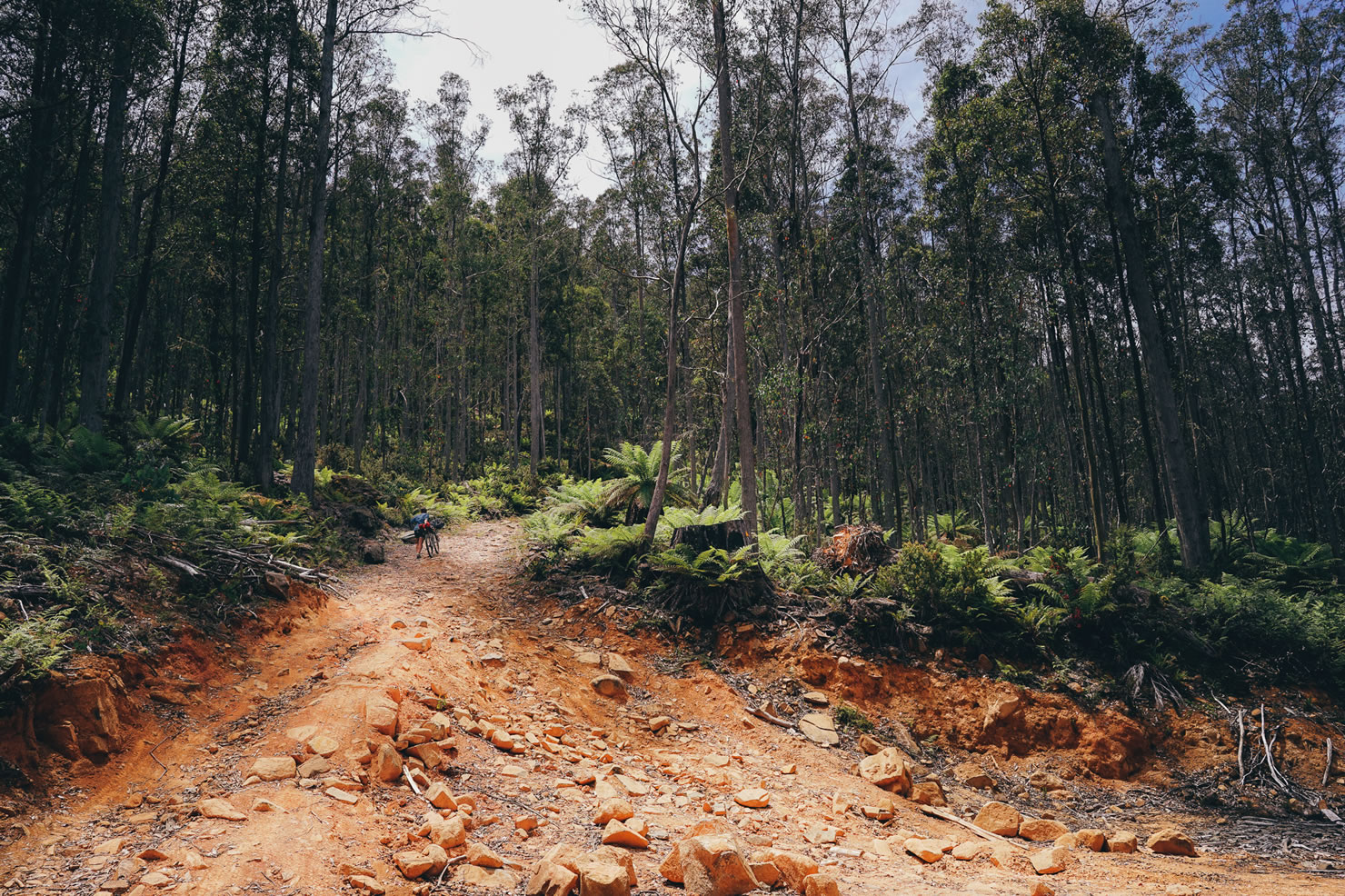
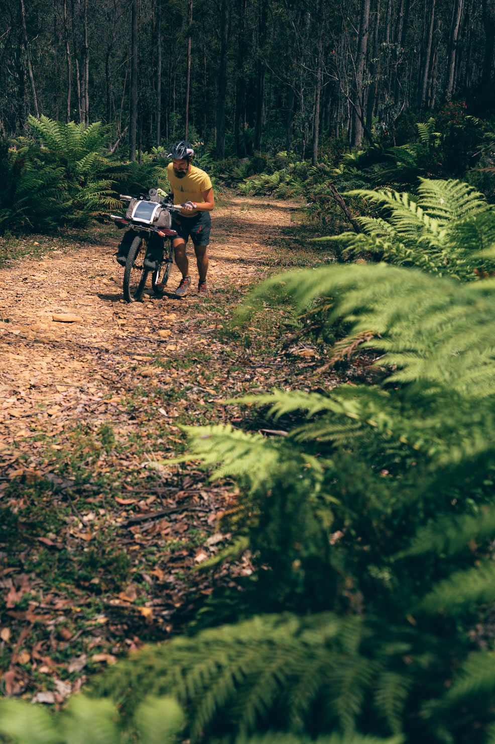
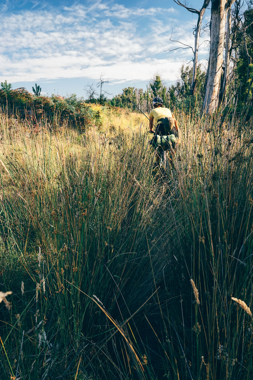
- Southern forests: First 2km start harsh, you have to push the bike and pass a few gates before the slope gets rideable, then you get into the forest. Giant eucalyptus make you feel very small but you quickly get accustomed and realize the protect you from the wind. The route follows rocky gravel roads used by timber industry trucks. After passing over a few logs and sandy funny single tracks you dig into the Huon valley which is the cradle for fruit production, especially cider apples.
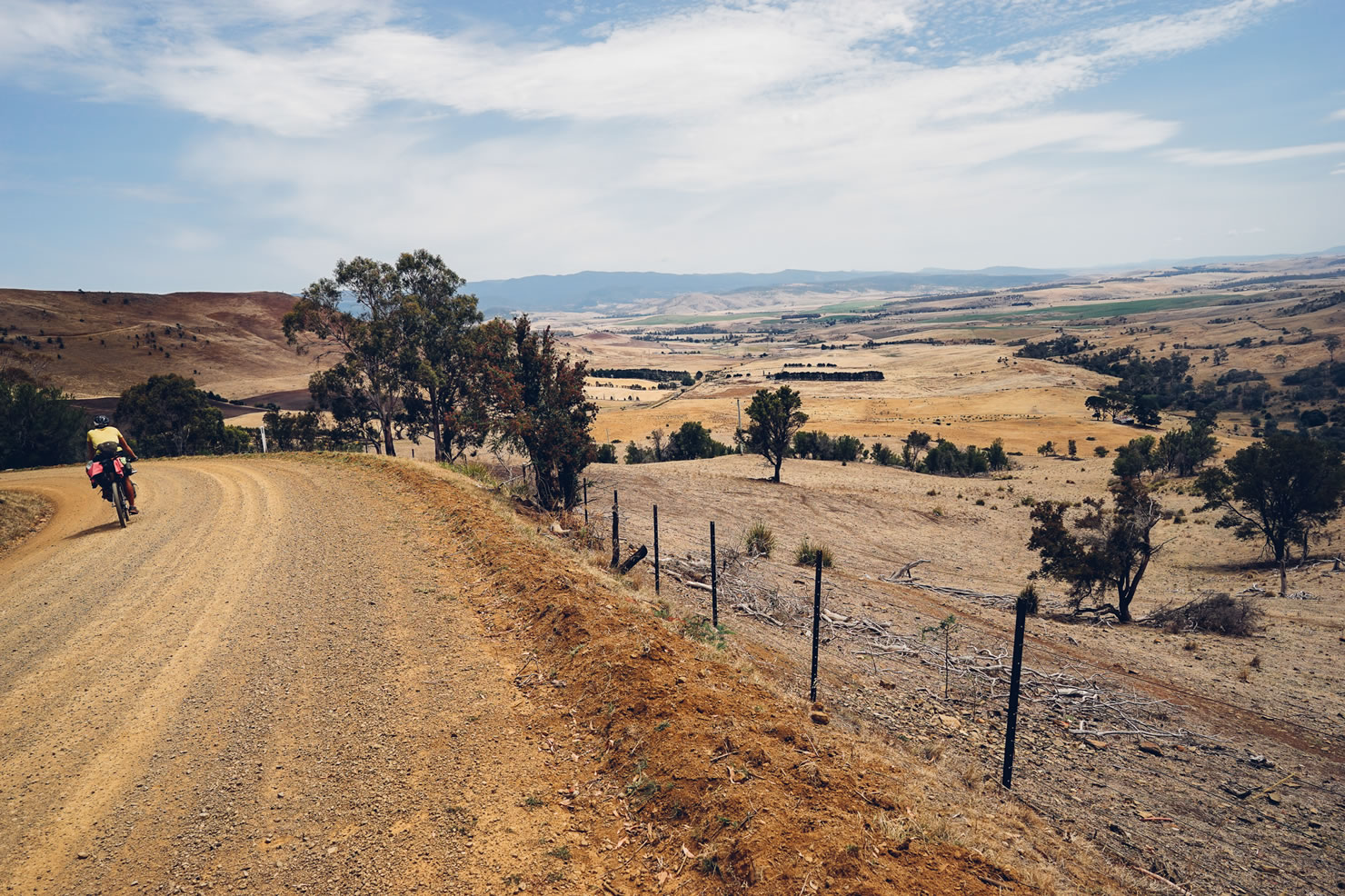
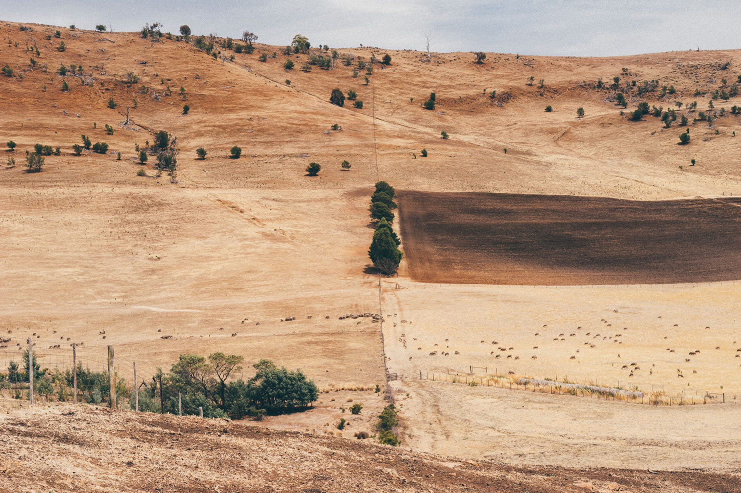
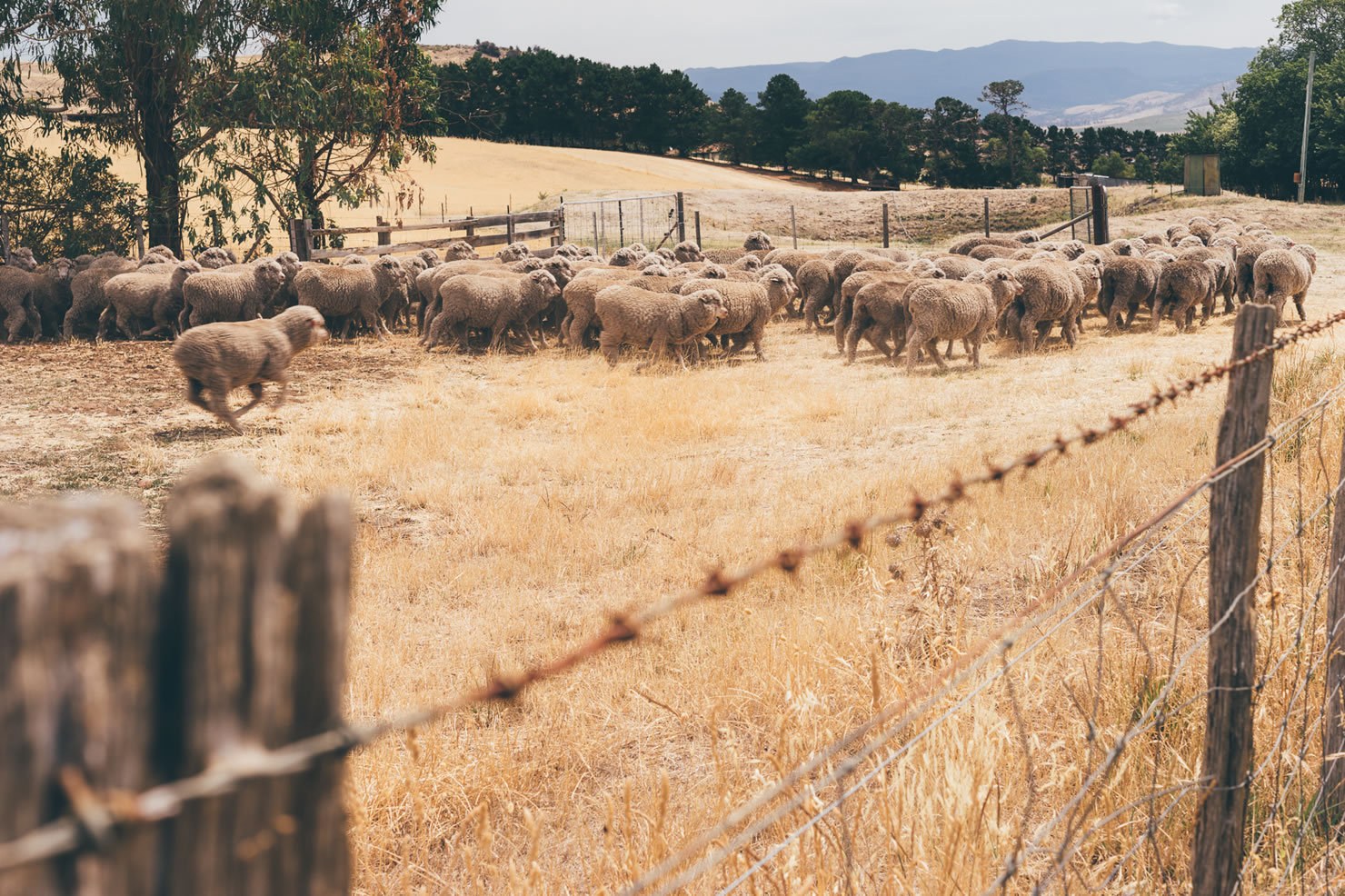
- Derwent Valley: Closed to Mount field national Park, Dervent Valley’s landscape has been shaped by sheep, hops and wine farming. You will cross a few huge private land that offer and alternance of yellow and green colors along the Dervent river. Main road and villages are not far, but the route always overhang it and make you feel away from civilisation. In this region, gps navigation is required as private land marks are not always well visible. A few gates to pass over also.
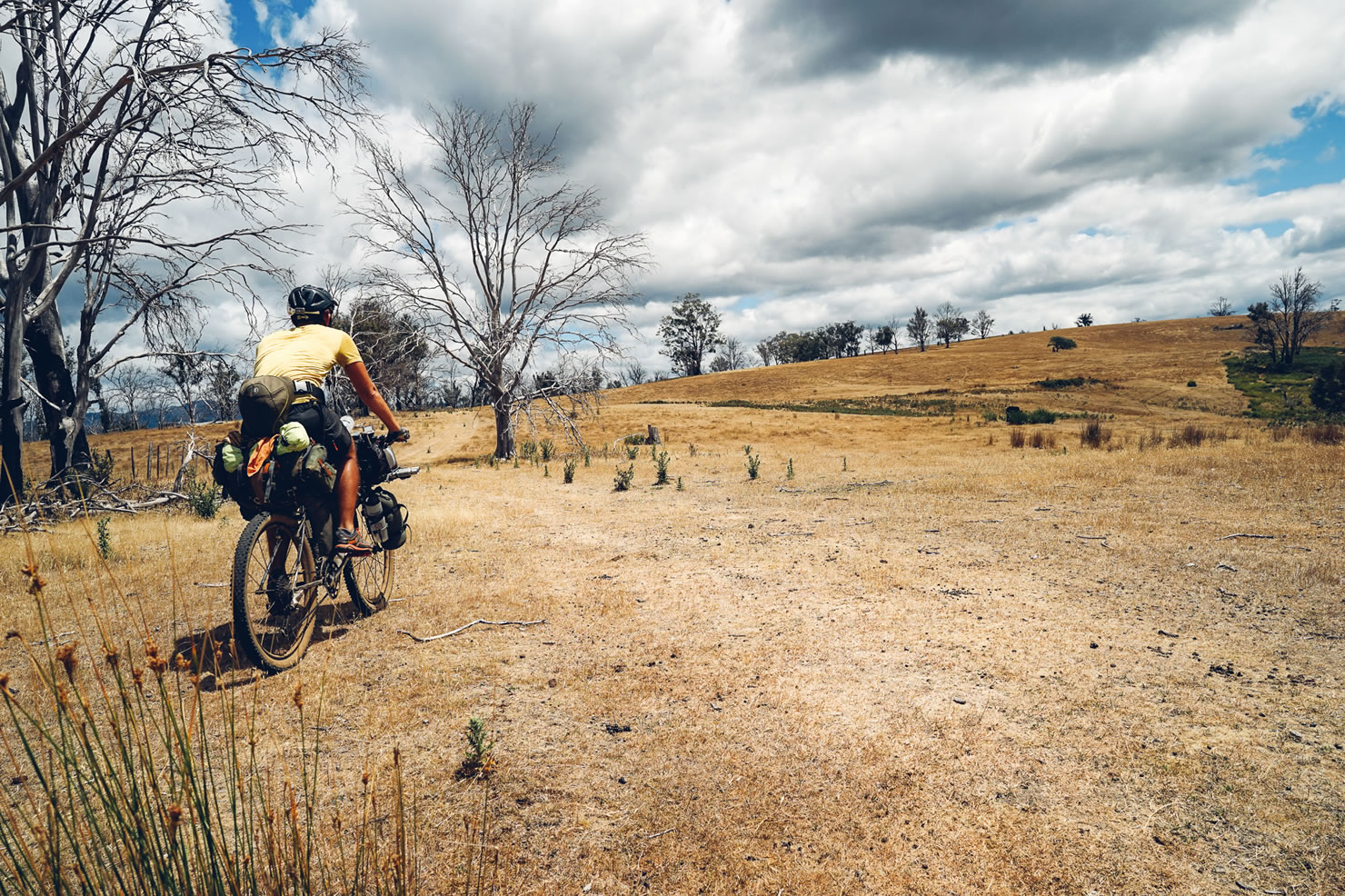
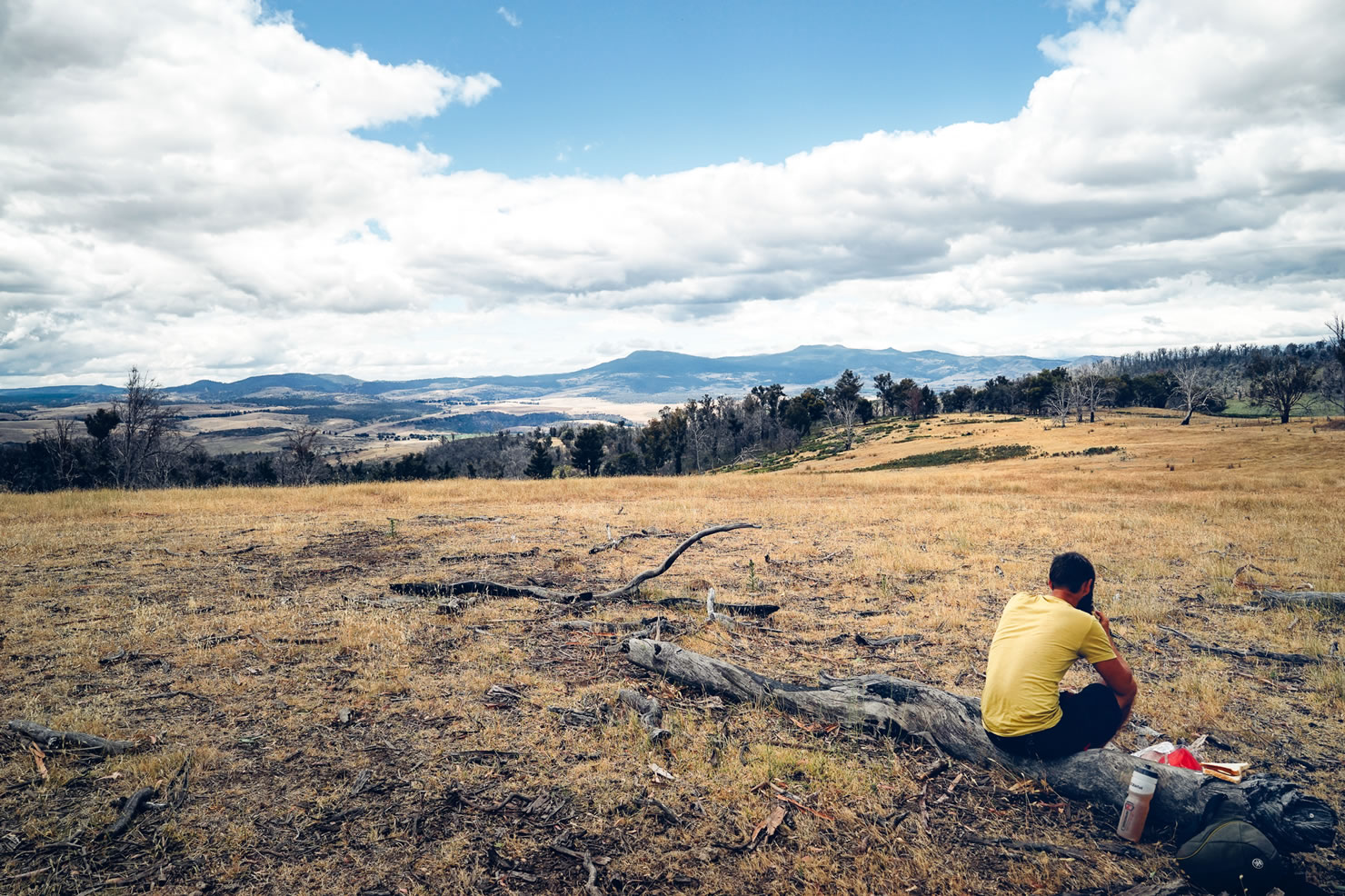
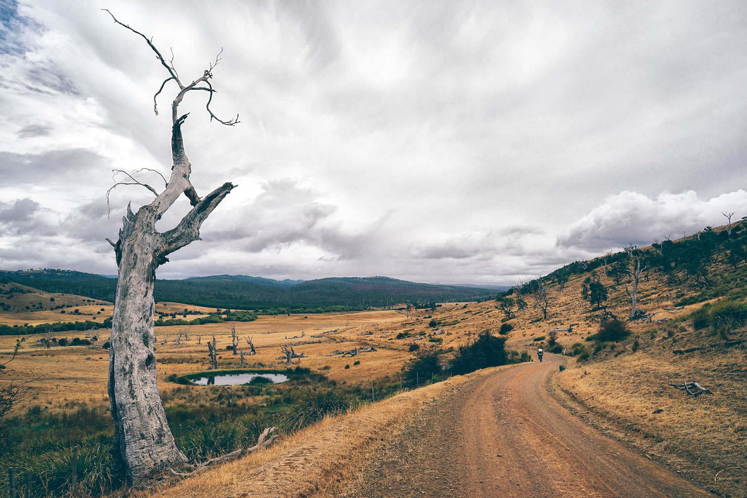
- Central Plateau: Leaving Ouse, you climb slowly to the central plateau. The forest roads and then tracks lead to the first lakes of the routes where it is nice to have a rest day.The nexts days, alternates between tracks and gravel roads.
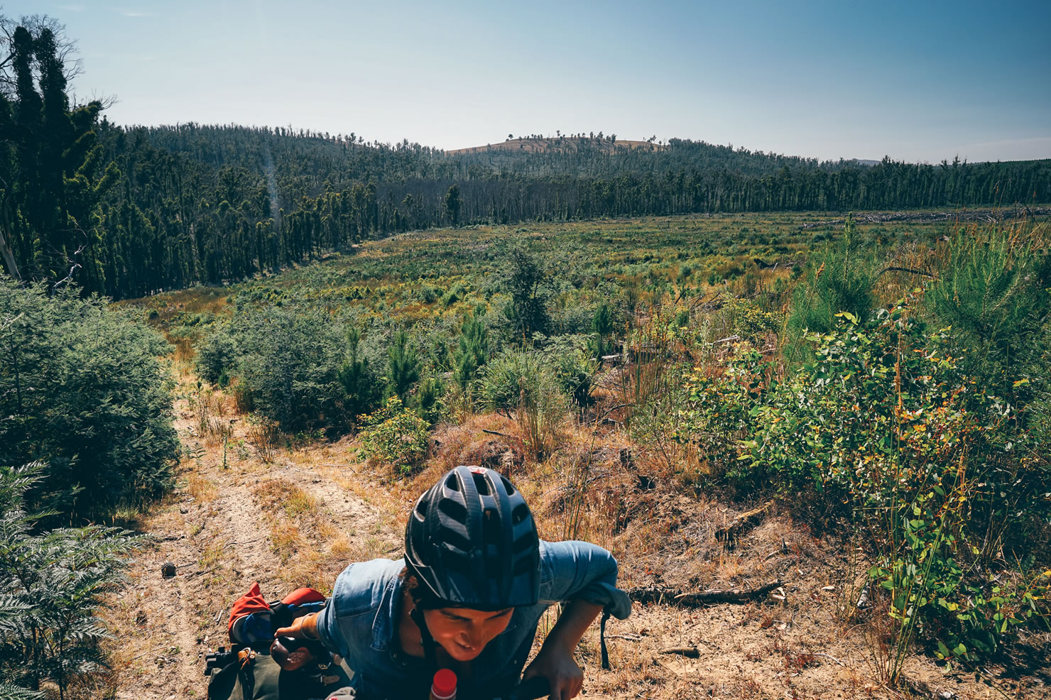
- Forested ranges: This is place for the forest of any kind. You will experience for a couple of day dry or wet, light or dense types of vegetation. There are some steep climbs on the route and sometimes bushtracks you might have to avoid if wet or if the vegetation get really dense. Gravel forestry road and sealed road are still on the menu.
- Northern Farmlands (Deloraine to Devonport): getting closer to the coast and leaving the forest brings you to the farmlands of the north. Produces from this region are known for the freshness and high quality. Roads alternates between gravel and bush land track with no major difficulties, unless you ride during the flood of the Mersey river you will have to bypass. Last 20km are on sealed road up to to Devonport city.
Additional Resources
- Tasmania trail association: tasmaniantrail.com.au
- Tasmania Fire Service : fire.tas.gov.au
- Good free maps of Australia for GPS: shonkylogic.net/shonkymaps


Terms of Use: As with each bikepacking route guide published on BIKEPACKING.com, should you choose to cycle this route, do so at your own risk. Prior to setting out check current local weather, conditions, and land/road closures. While riding, obey all public and private land use restrictions and rules, carry proper safety and navigational equipment, and of course, follow the #leavenotrace guidelines. The information found herein is simply a planning resource to be used as a point of inspiration in conjunction with your own due-diligence. In spite of the fact that this route, associated GPS track (GPX and maps), and all route guidelines were prepared under diligent research by the specified contributor and/or contributors, the accuracy of such and judgement of the author is not guaranteed. BIKEPACKING.com LLC, its partners, associates, and contributors are in no way liable for personal injury, damage to personal property, or any other such situation that might happen to individual riders cycling or following this route.
Please keep the conversation civil, constructive, and inclusive, or your comment will be removed.