


The Tahoe Twirl: Nevada to California and Round Again
Distance
187 Mi.
(301 KM)Days
4.5
% Unpaved
90%
% Singletrack
35%
% Rideable (time)
97%
Total Ascent
19,305'
(5,884 M)High Point
9,600'
(2,926 M)Difficulty (1-10)
8?
- 7Climbing Scale Strenuous103 FT/MI (20 M/KM)
- -Technical Difficulty
- -Physical Demand
- -Resupply & Logistics
Contributed By

Cass Gilbert
While Out Riding
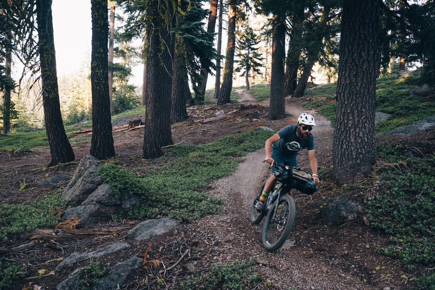
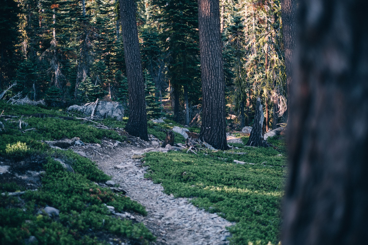
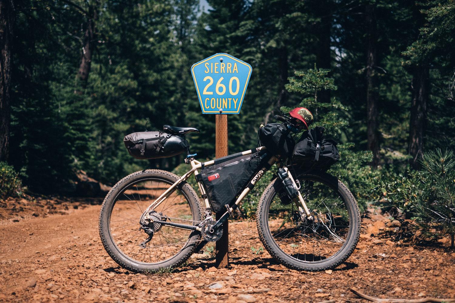
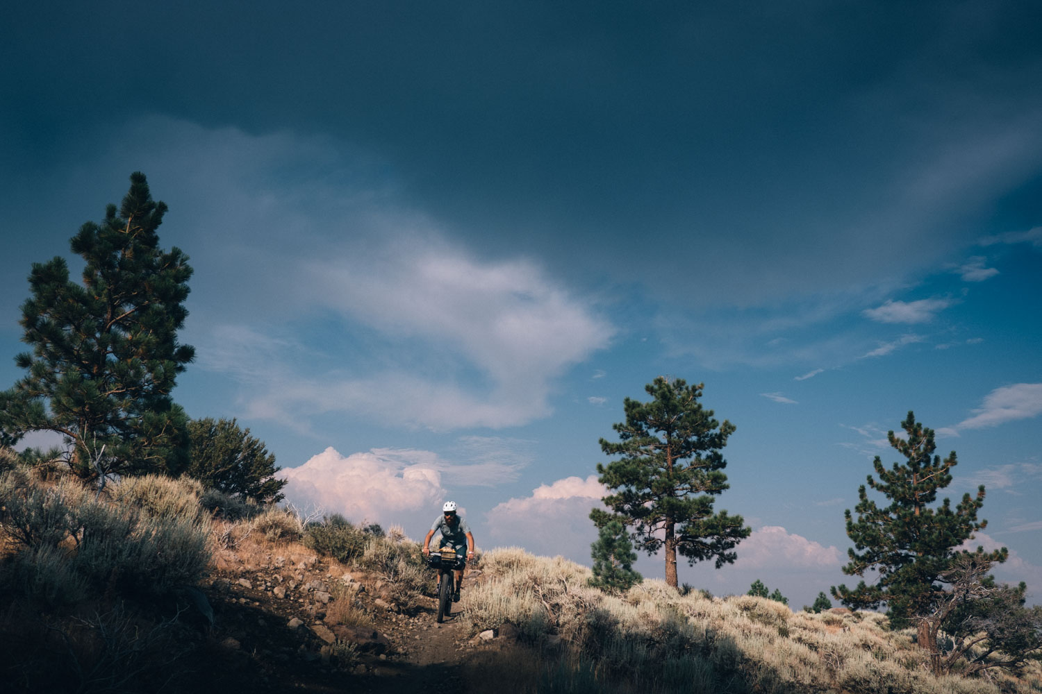
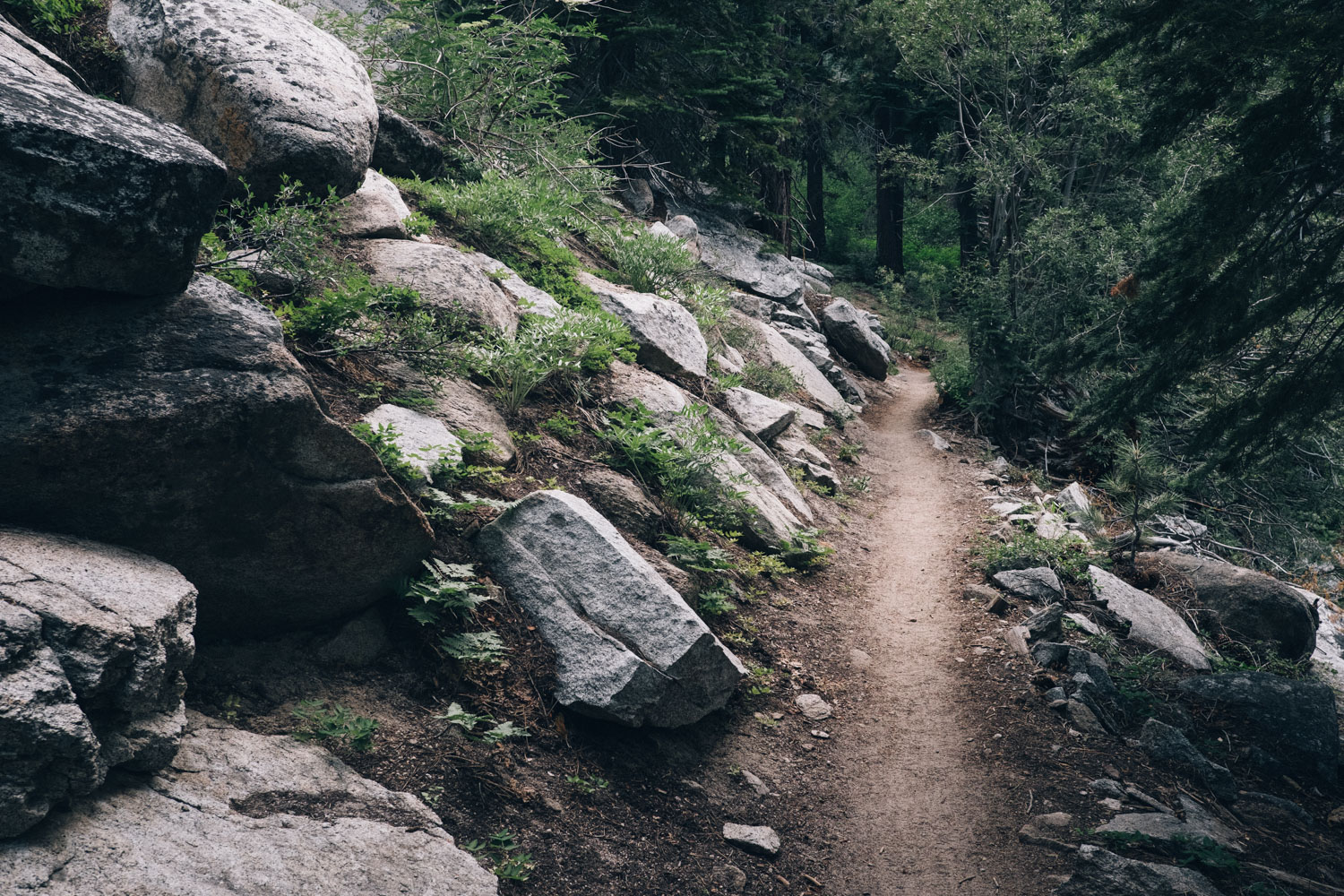
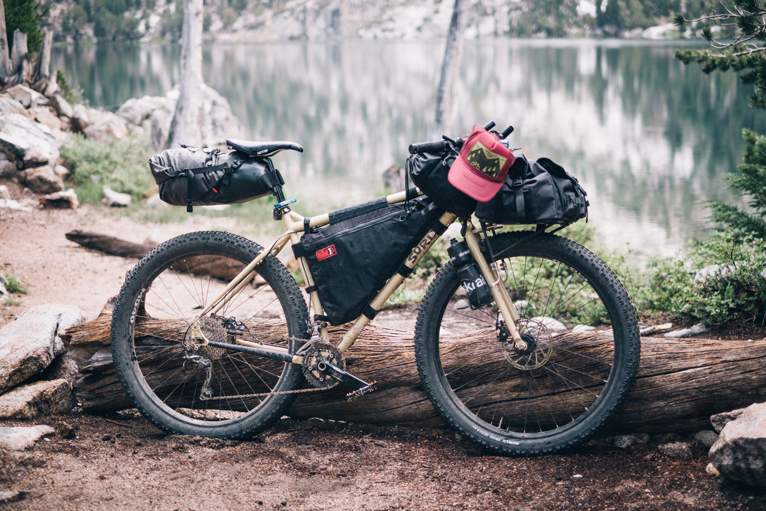
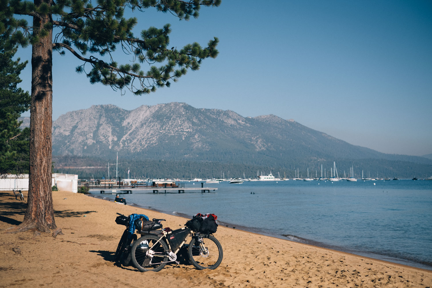
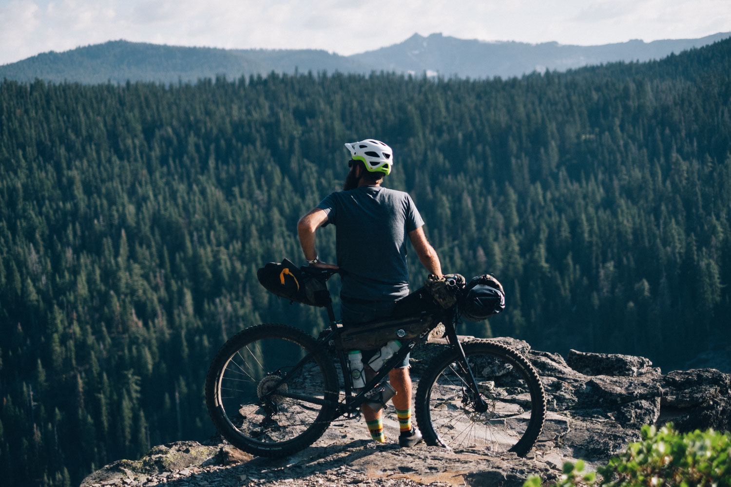
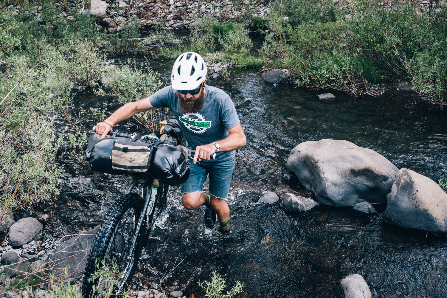
Straddling both California and Nevada, Lake Tahoe is, quite simply, a glorious place to be. This vast body of water comes complete with a ring of snow-capped peaks and a network of sweet singletrack, weaving between its signature jumble of granite boulders and the mossy woodlands that surround it.
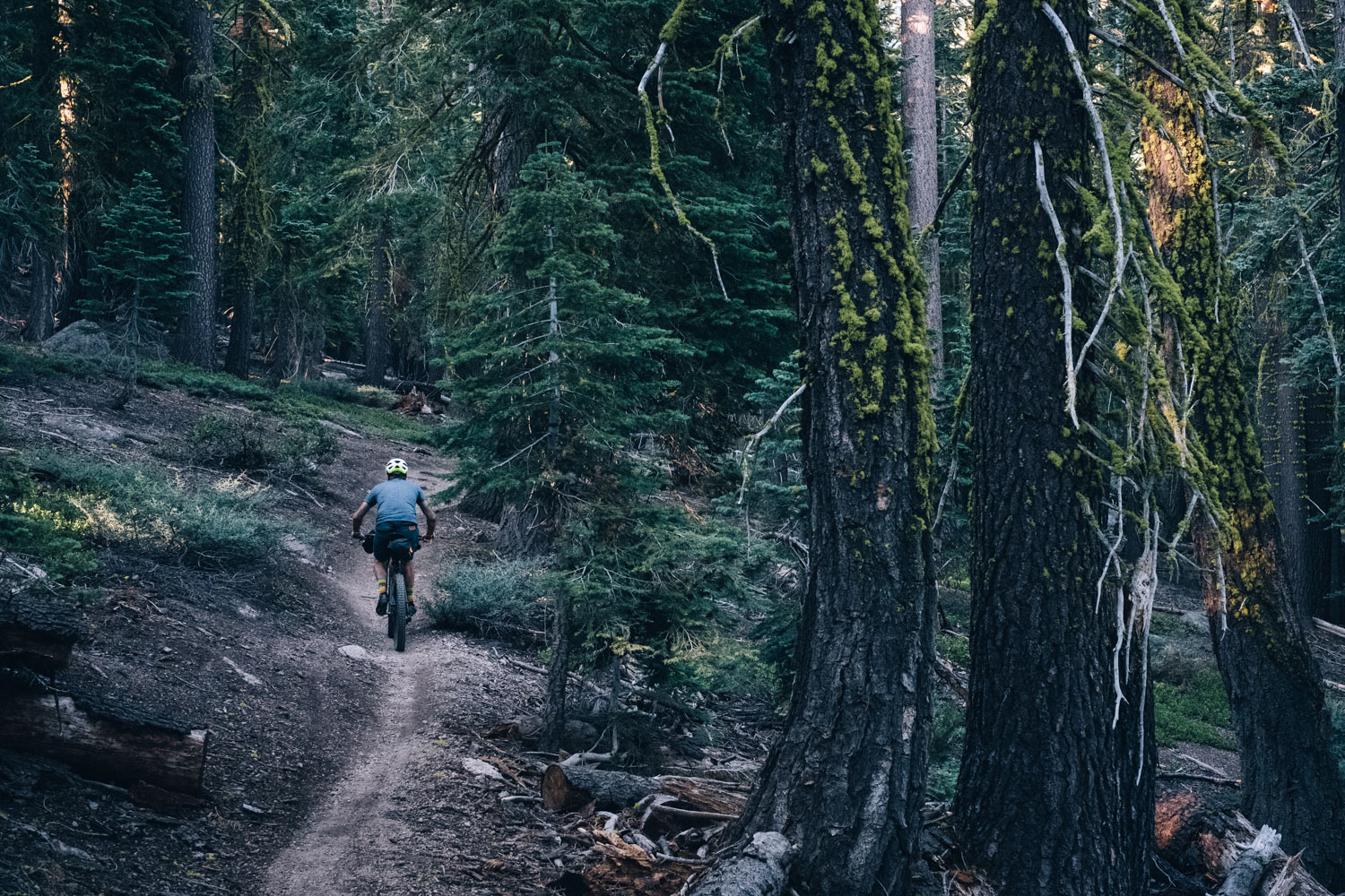
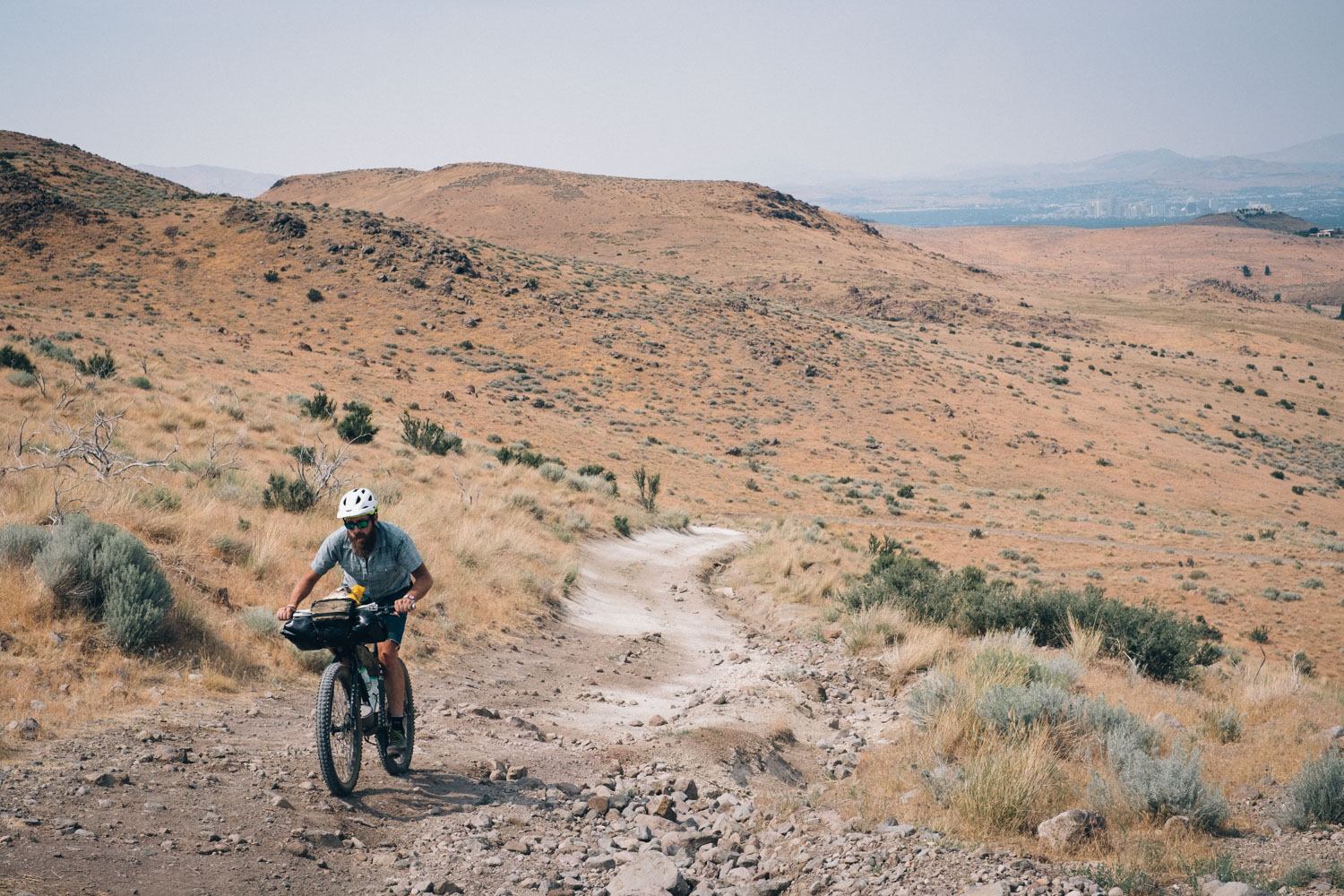
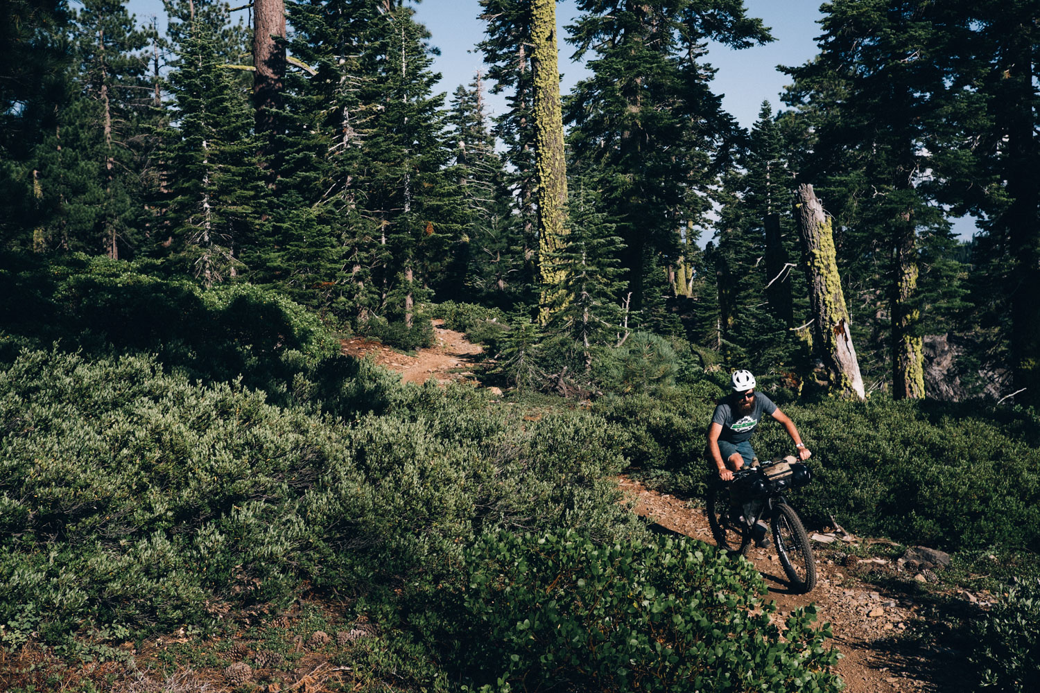
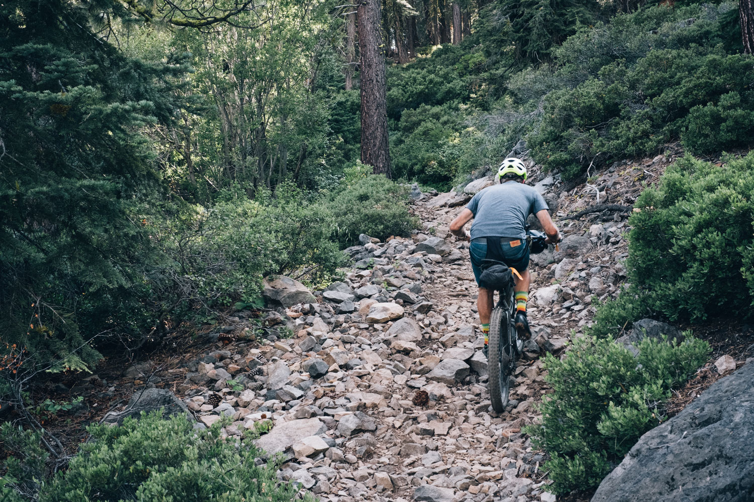
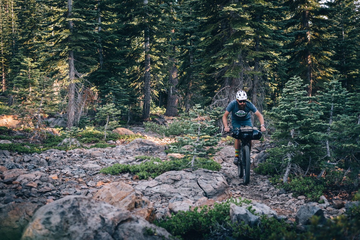
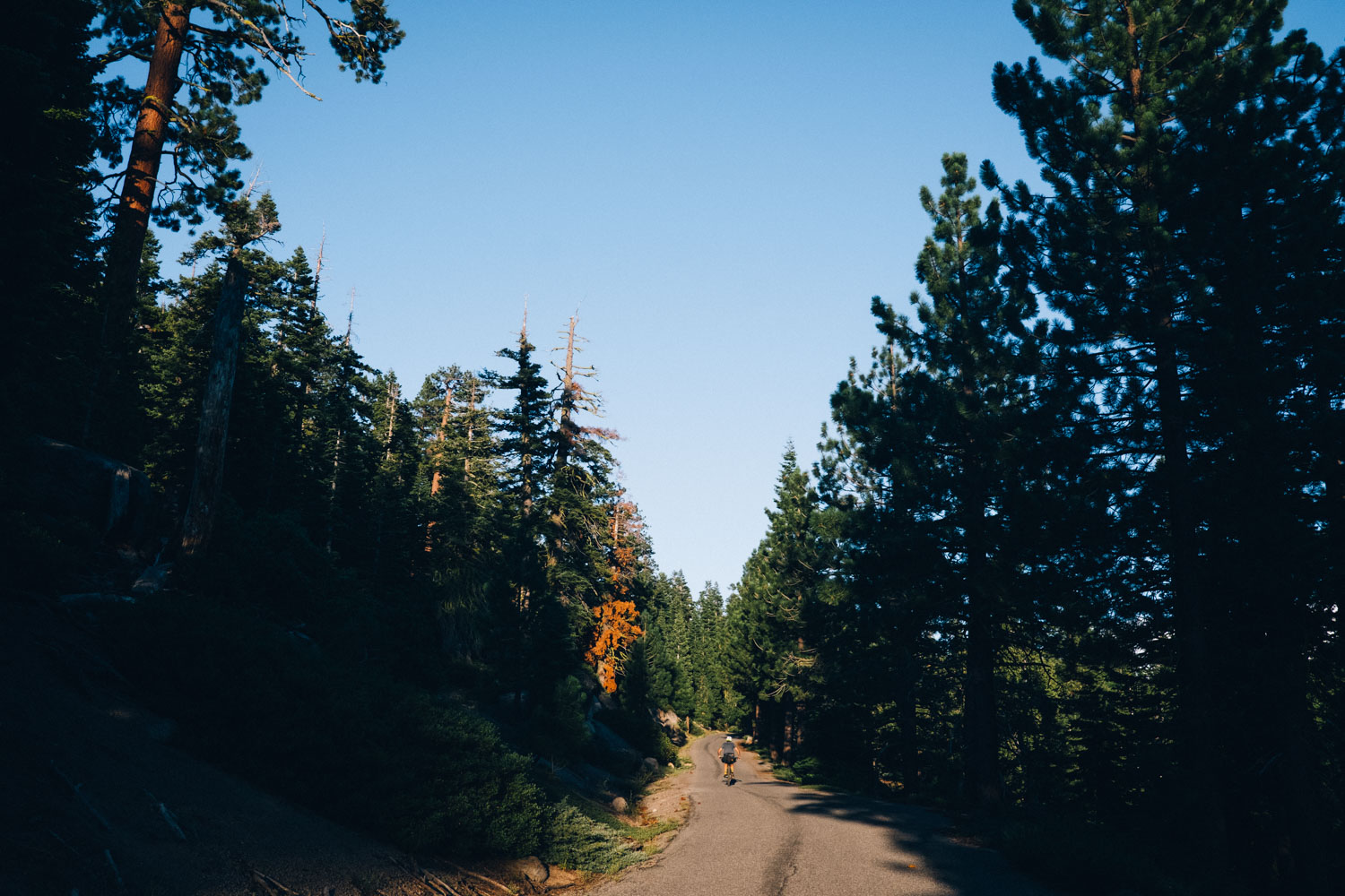
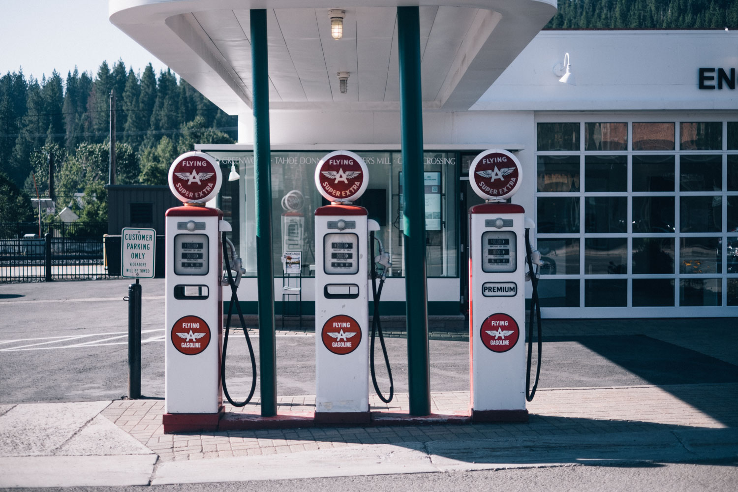
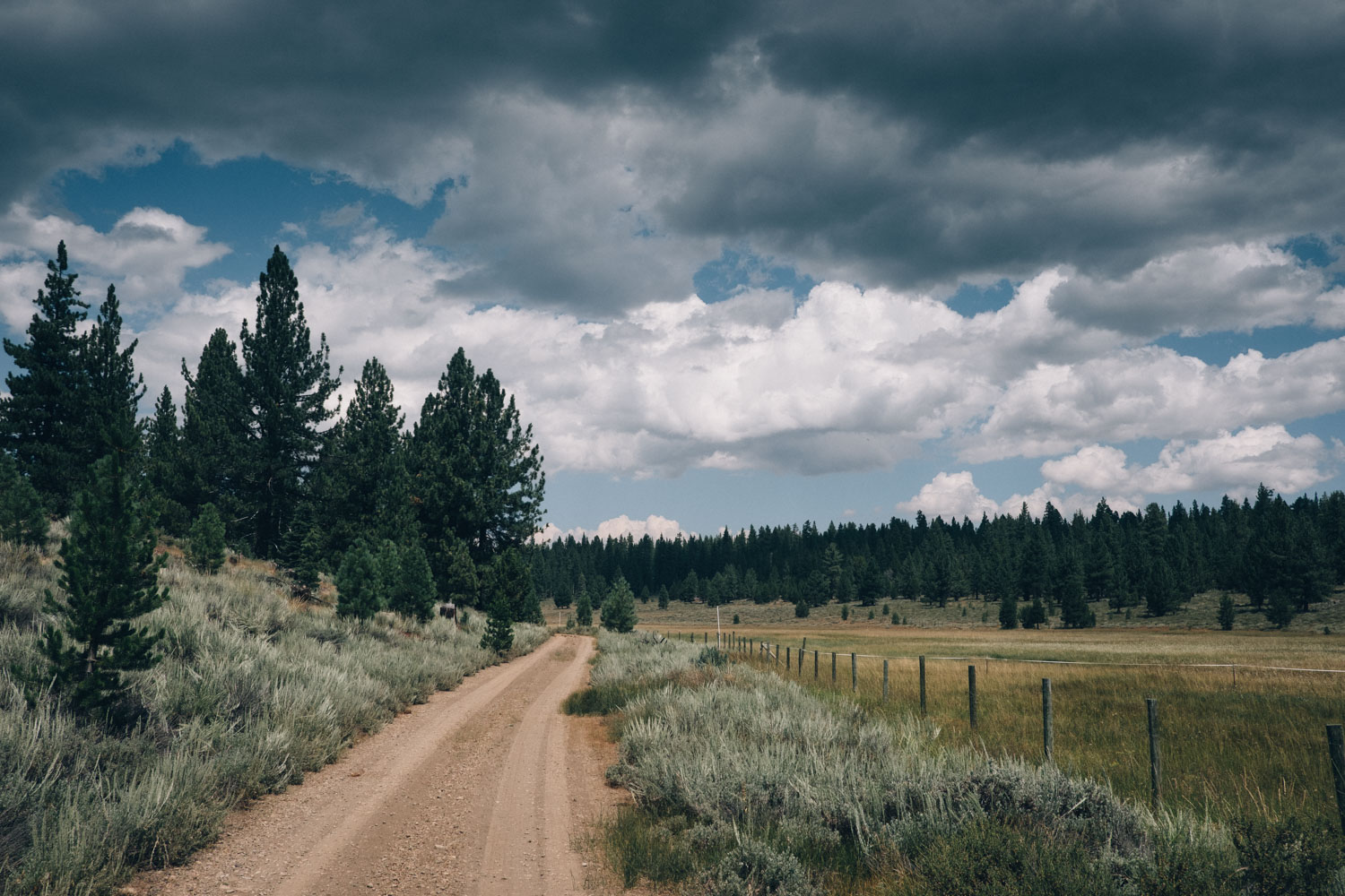
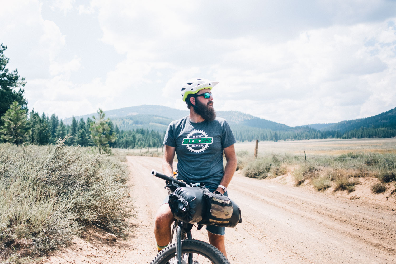
The route covers a wide variety of terrain. There are hot and exposed desert jeep tracks that spiral upwards from the fringes of casino-studded Reno, followed by the abandoned, overgrown roads that parallel Mount Rose Highway and its forlorn summertime ski resorts. There’s certainly no shortage of primo singletrack either; from the classic Flume Trail, complete with lofty views of this vast body of water, to extended segments of the Tahoe Rim Trail’s technical singletrack, endlessly weaving between chicanes of rock and pines. By way of respite, the route links various remote alpine lakes set high in the Sierra Nevada and skirts the gorgeous but populated waters of Lake Tahoe itself on car-free bike paths. The last day, the return leg from Truckee into Reno, offers a different appreciation of the area, via forest and gravel roads that hurdle Heness Pass into remote Dog Valley, before making use of Reno’s signposted bike paths to return to the heart of the city free from fast traffic (see Trail Notes for details of the Tahoe-Pyramid Trail alternate, running from Truckee to Verdi).
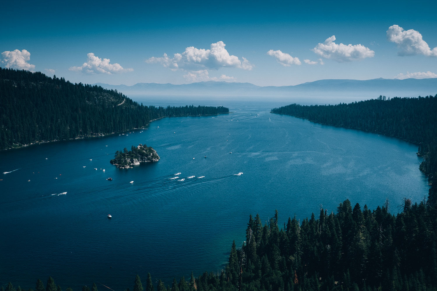
Striving to remain as rideable as possible, the Tahoe Twirl doesn’t string every last piece of singletrack together, come hell or high water. But it does strike a very satisfying balance between primo trail and relaxing shoreline bike paths. For this reason, it bypasses the infamous Rubicon Trail and surrounding areas, littered as they are with deadfall. For the most part, this ride avoids the busy paved roads that heave with summer traffic, bar a short stretch around the tourist honeypot of Emerald Bay.
Click here a great video series, from Ryan Van Duzer, on tackling the Tahoe Trail!
Route Development
Many thanks are due for this route! To Andy Forron for joining me on this ride and sharing the task of route-finding our way around the lake in the most bikeable manner. To Joel Swenson and Arron Domeier at Surly for laying out the groundwork and (wisely) suggesting we avoid the harrowing pitfalls of the Rubicon Trail and surrounding areas. To the many local riders who helped point us in the right direction along the way, and to the friendly folks at Olympic Bike shop for steering us onto sweet trails that connect Tahoe City to Truckee. And lastly, to local rider Matt C. (who organises the epic Ride the Tahoe Rim bikepacking race) for his suggested bypass around Highway 89.
Difficulty
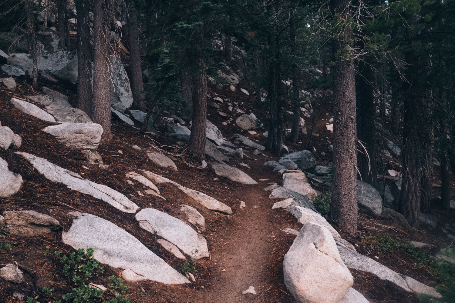
This route has been awarded an 8. The singletrack along the Tahoe Rim Trail is often testing but almost always rideable, bar the odd push and shove and a few short hike-a-bikes around Star Lake. There are significant, extended climbs throughout, and altitude will add significantly to their challenges, especially for those coming from the lowlands. On the other hand, regular resupply points and good access to water ensure logistics are relatively straightforward, allowing riders to run a light and nimble rig. Sections of easy going bike path, forest tracks, and gravel roads provide some welcome riding downtime.


Submit Route Alert
As the leading creator and publisher of bikepacking routes, BIKEPACKING.com endeavors to maintain, improve, and advocate for our growing network of bikepacking routes all over the world. As such, our editorial team, route creators, and Route Stewards serve as mediators for route improvements and opportunities for connectivity, conservation, and community growth around these routes. To facilitate these efforts, we rely on our Bikepacking Collective and the greater bikepacking community to call attention to critical issues and opportunities that are discovered while riding these routes. If you have a vital issue or opportunity regarding this route that pertains to one of the subjects below, please let us know:
Highlights
Must Know
Camping
Food/H2O
Trail Notes
Resources
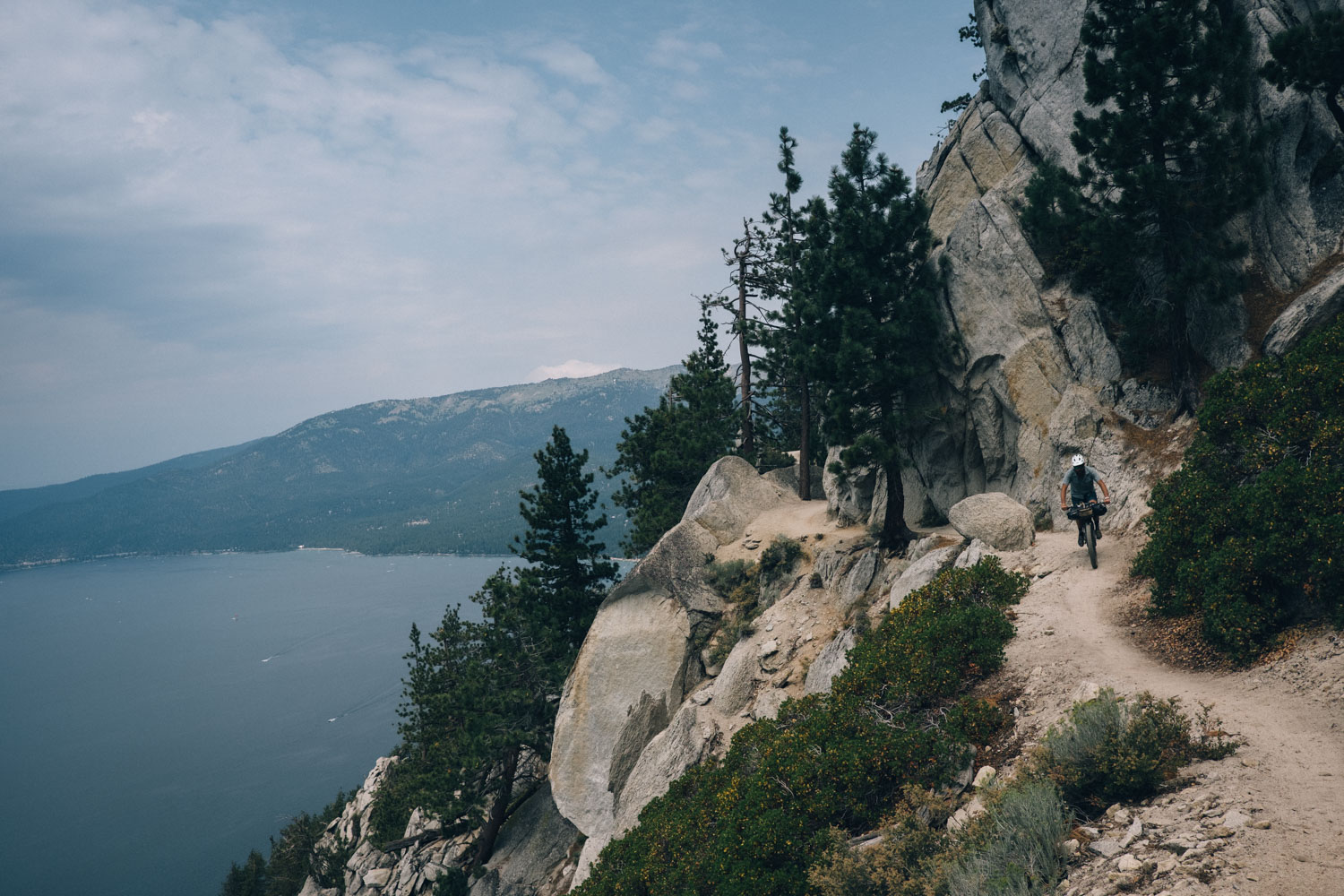
- Riding extended sections of the sublime Tahoe Rim Trail
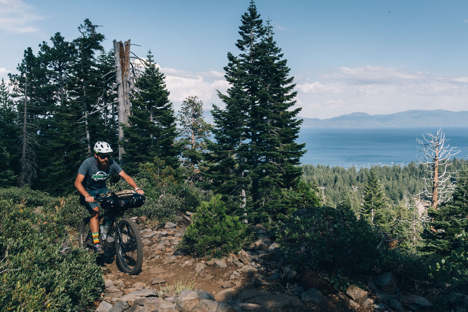
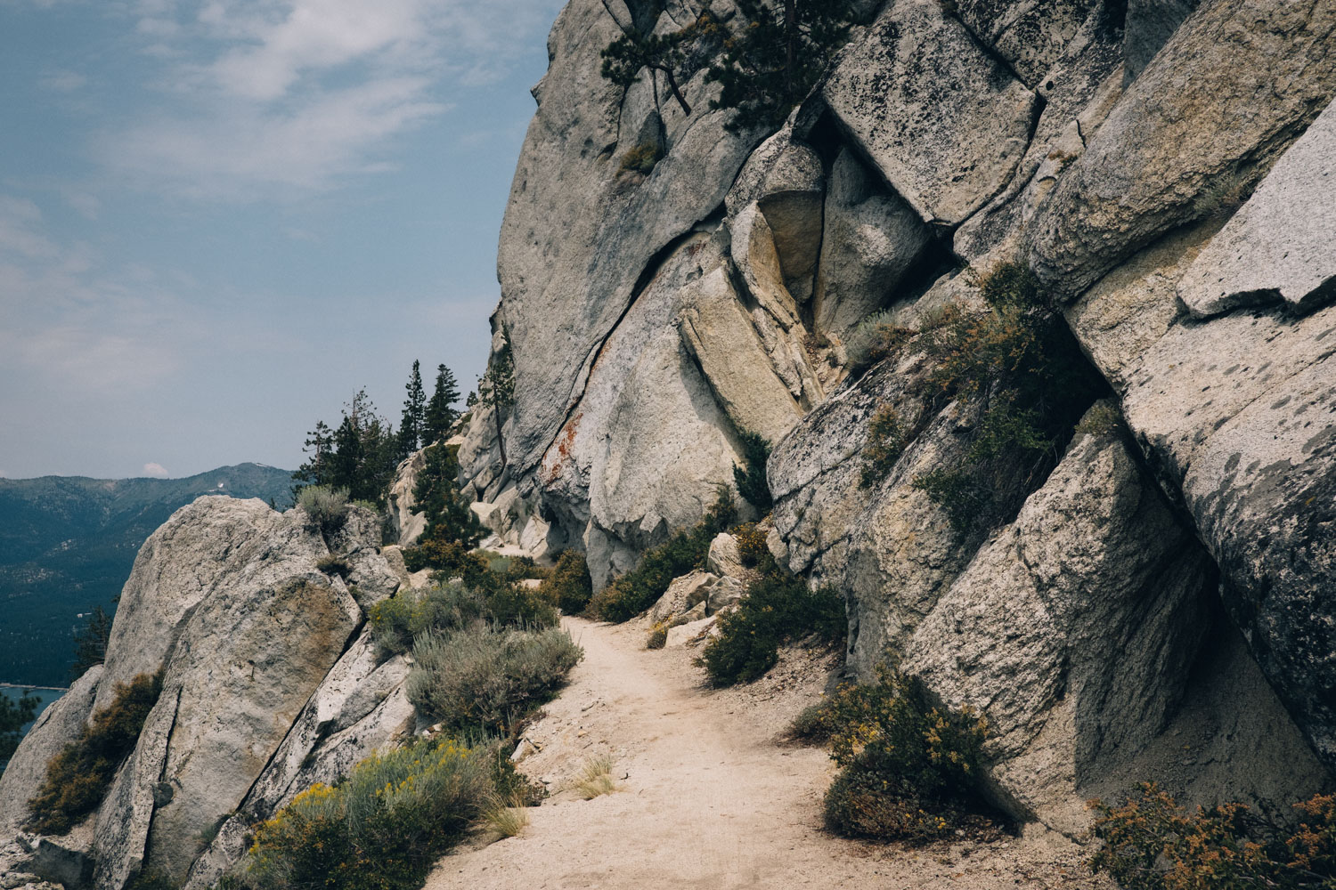
- Enjoying far reaching views of Lake Tahoe from the classic Flume Trail
- The cool, translucent waters of alpine Star Lake
- Stopping for regular, refreshing dips in Lake Tahoe and other bodies of water
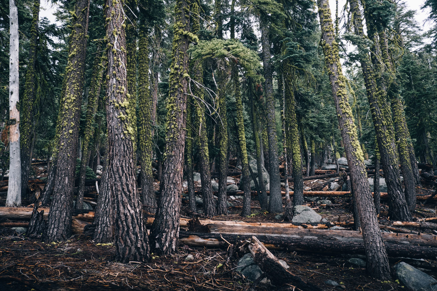
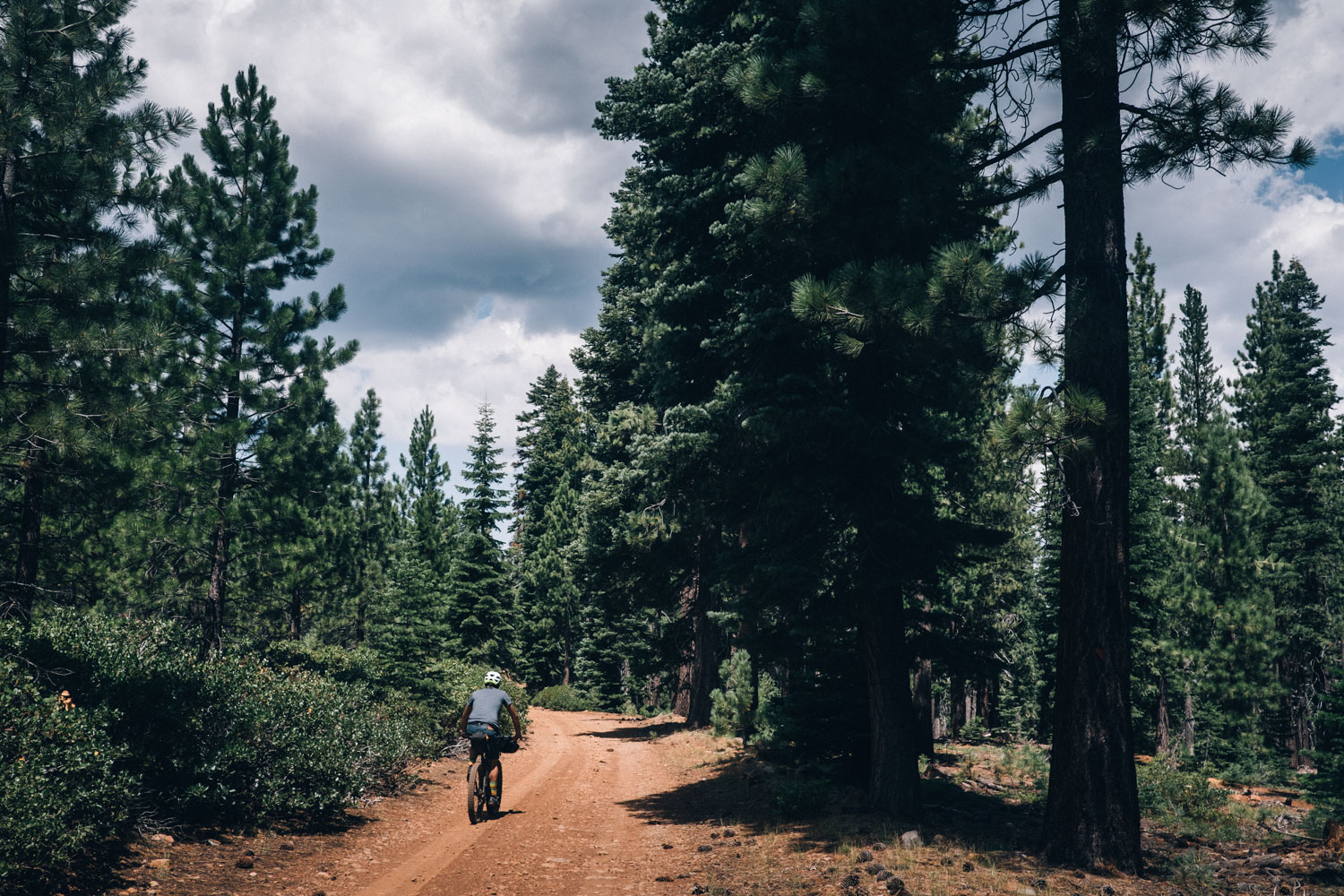
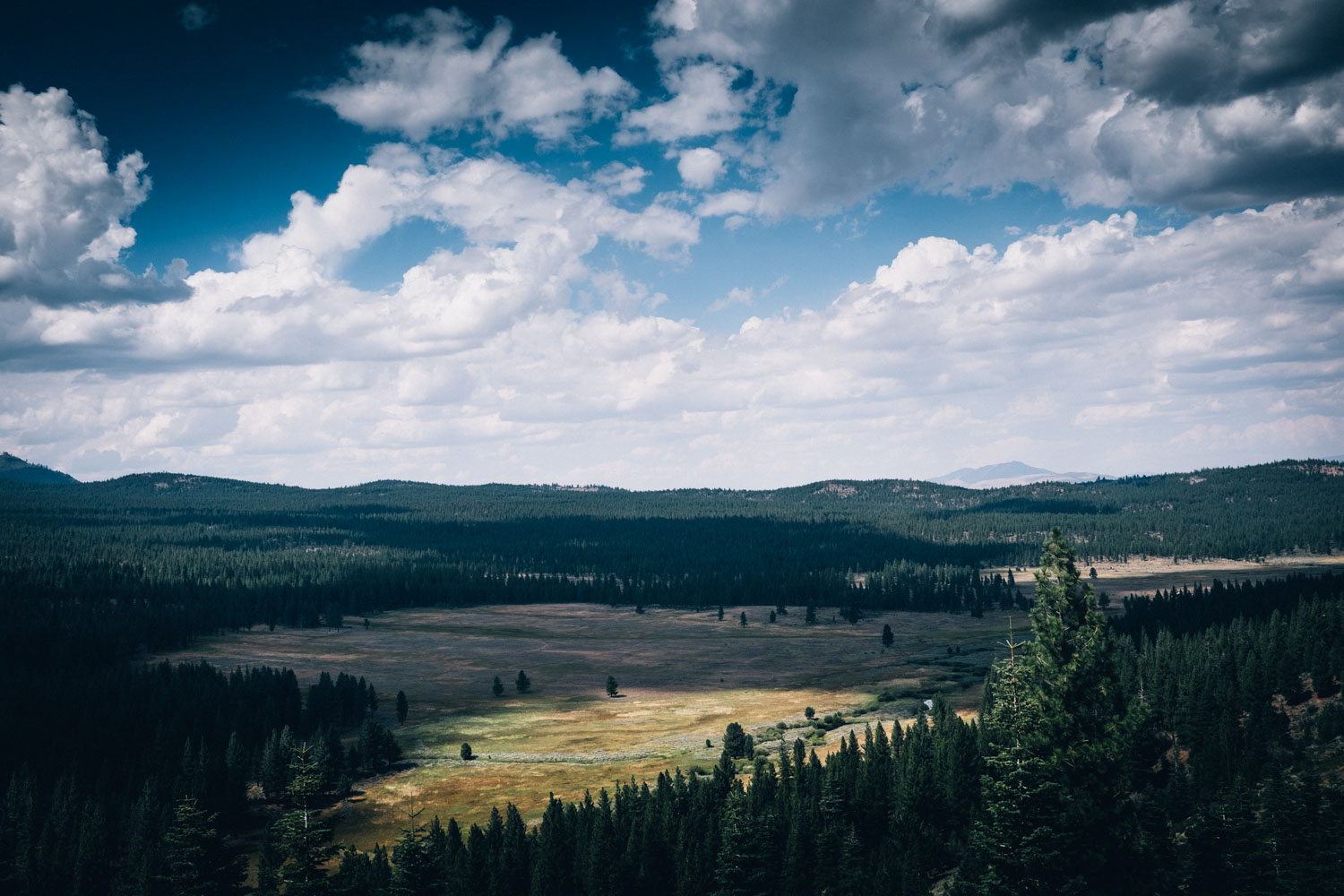
- Climbing out of the desert that surrounds Reno in the more lush and forested Tahoe National Forest
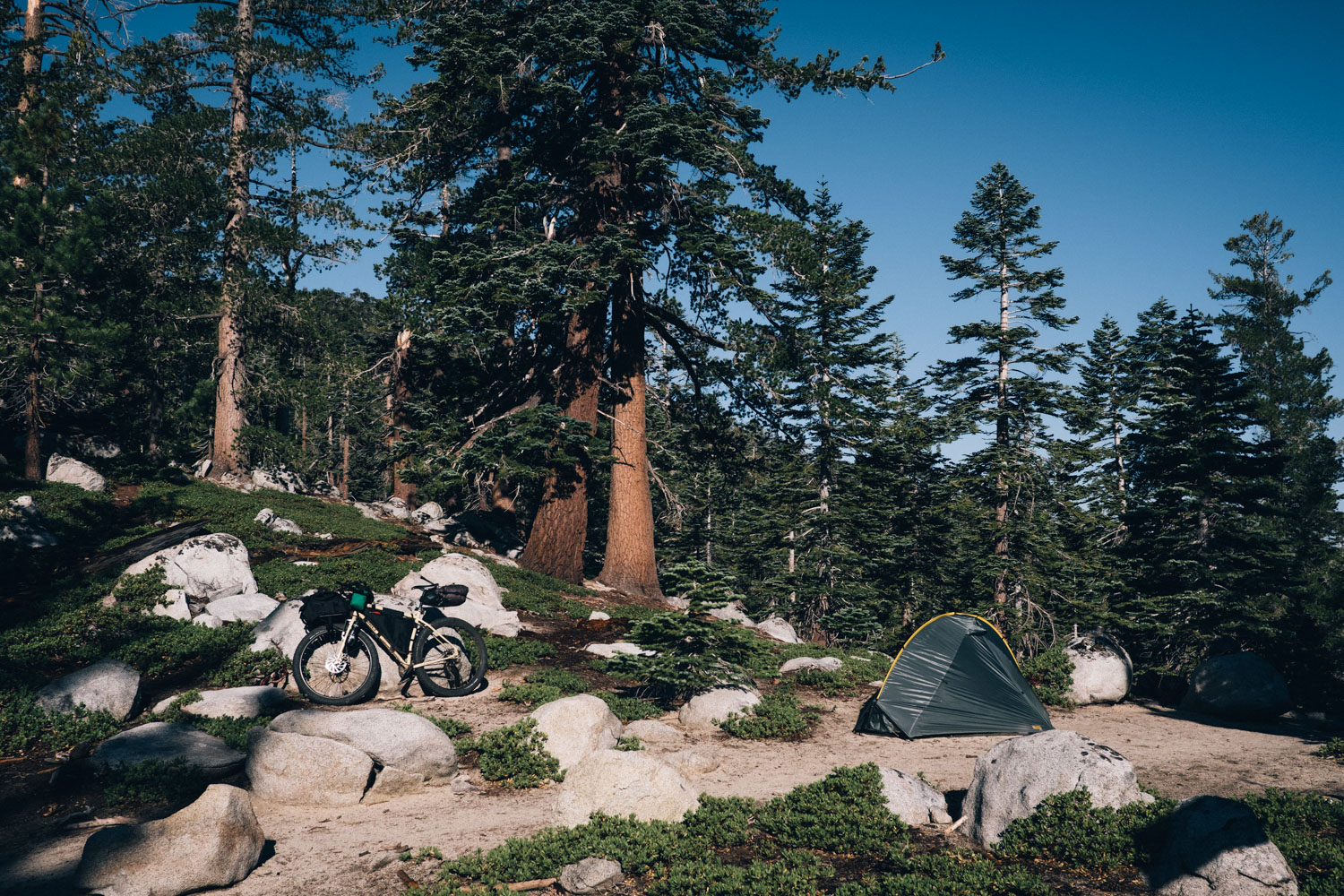
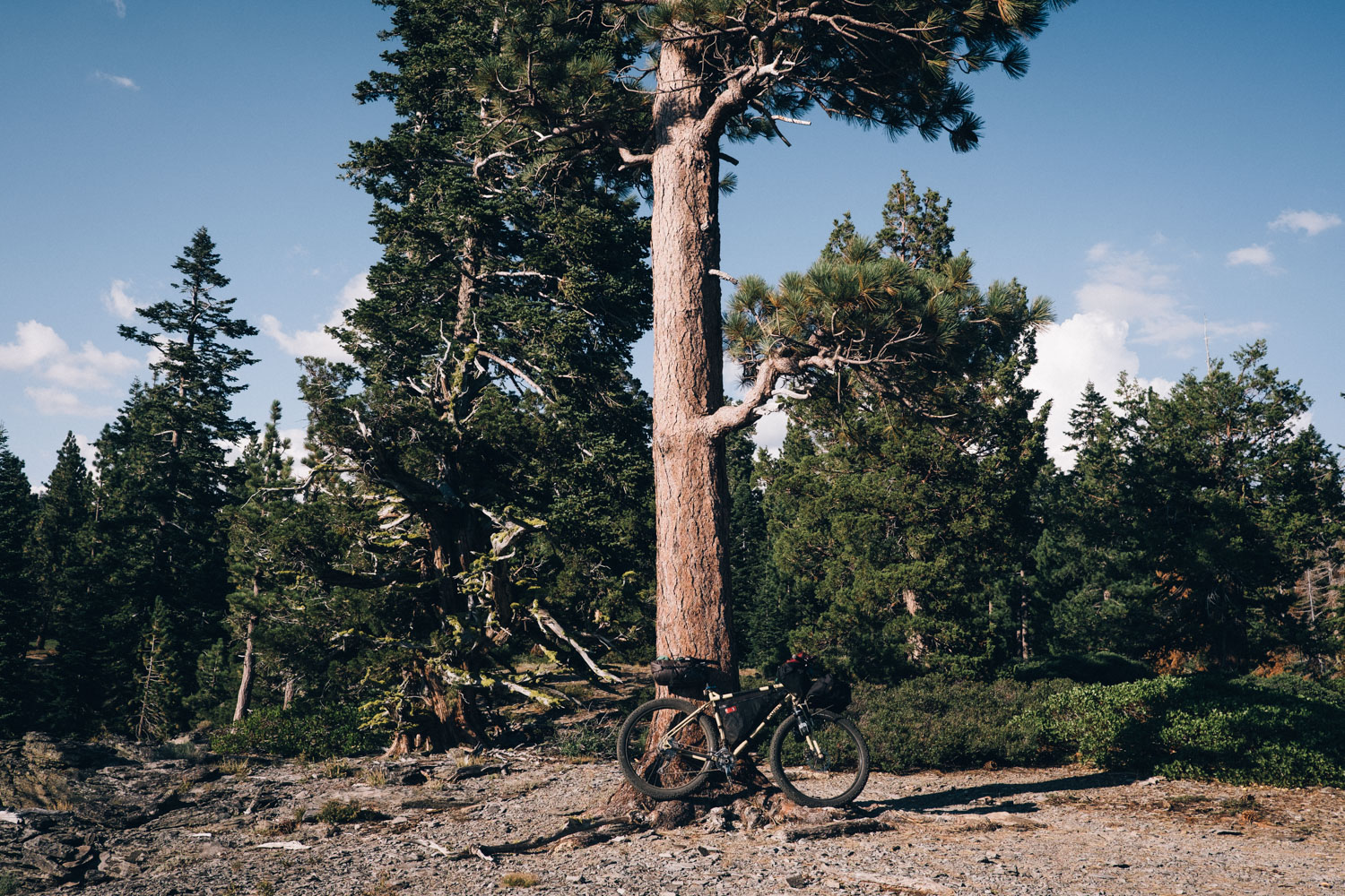
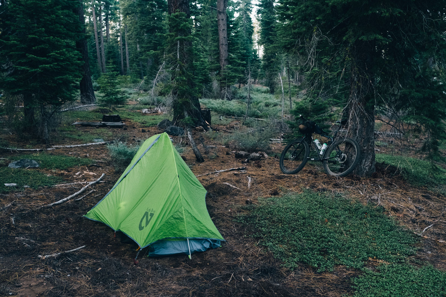
- Abundant, beautiful camping in Tahoe National Forest
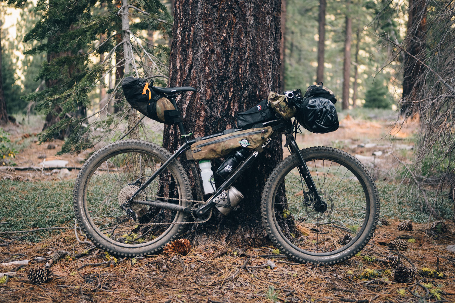
- You’ll need a mountain bike for this ride: 2.3″ or larger tires and front suspension is highly recommended, though a rigid setup will work too, especially if it’s with Plus-sized tires.
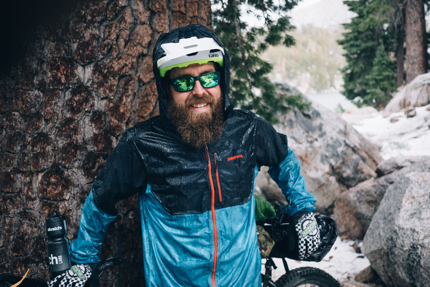
- Allow for afternoon monsoon storms – make sure you have waterproofs and plan your attack on passes accordingly, hunkering down where need be.
- Hang your food to avoid the unwelcome attention of bears and critters.
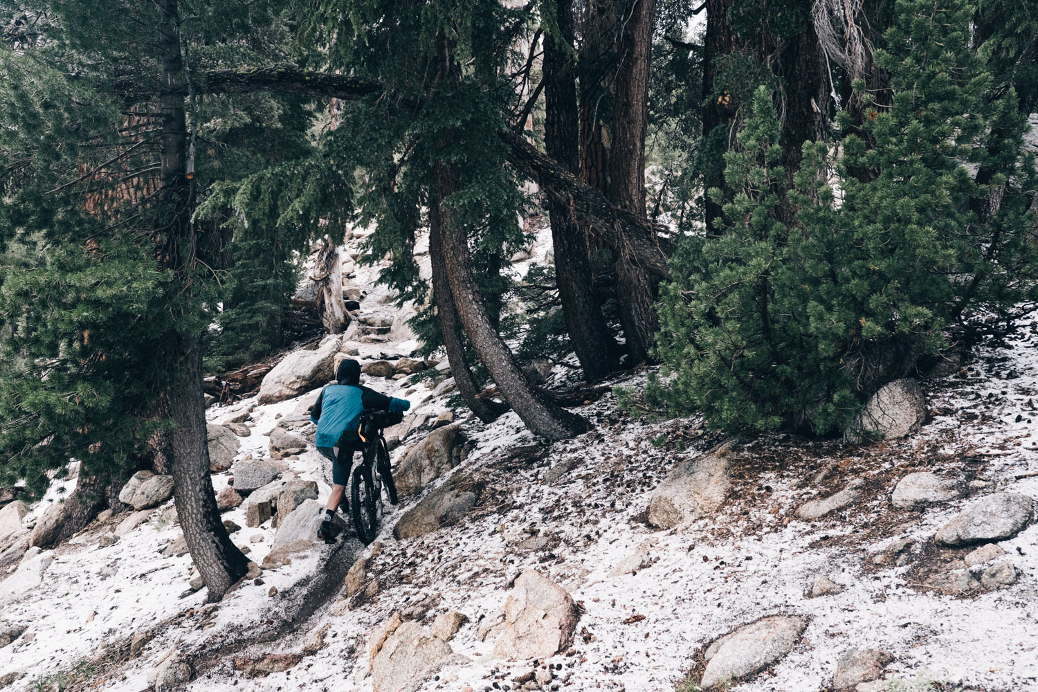
- When to ride: summer through to fall are the most reliable times to ride this route. September is perhaps best; warm in the day, not too cold at night, typically dry and bug-free, and cooler temps in and out of Reno. Above 8,500 feet, snow doesn’t fully melt off until mid-June, or even July on a heavy winter year. The mountain trails are usually clear until mid-October. If considering this loop on the shoulder seasons, check for local conditions, as snow can linger or come early.
- Always keep a keen eye on the weather; drop down out of the mountains if any storm approaches.
- Getting there: Amtrak runs to both Reno and Truckee from San Francisco and Oakland, though not all trains take bikes. The Greyhound offers an affordable service too but isn’t especially bike-friendly.
- Bring a water filter; water sources are abundant, clear and inviting.
- Note that the Tahoe Rim Trail Association requests that mountain bikers only ride the section from Mt. Rose to Spooner Lake on even-numbered days of the calendar. Please do your best to work this into your planning.
- Looking for a more direct return to Reno to save some time? A fantastic all-dirt bypass – the Tahoe-Pyramid Trail – has now opened. It runs along the Truckee River from Truckee to Reno and offers an alternative to riding north/the Commemorative Overland Emigrant Trail to Stampede Reservoir. See Trail Notes for more info.
- Much of the ride passes through the Tahoe National Forest, so there is no issue camping. As always, please leave no trace.
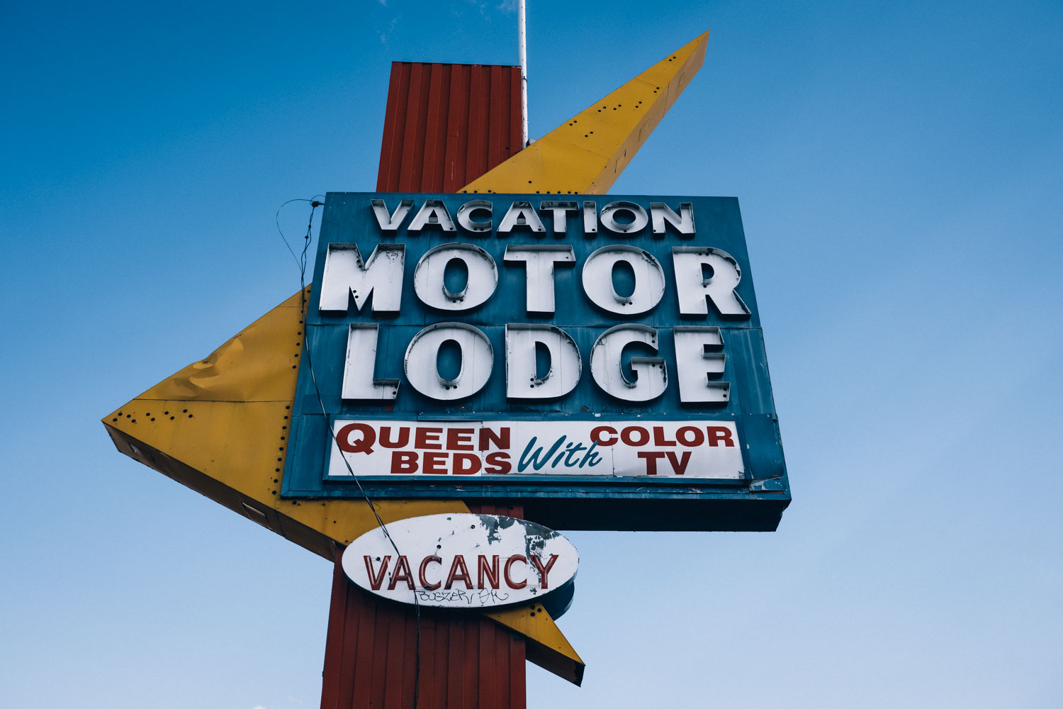
- Being a popular tourist haven, all resupply points have accommodation options, though weekend/summer can be busy.
- Camping in the woods can be a little buggy; bring repellent or find more open, exposed spots where it’s more windy.
- Depending on the year, water is relatively abundant in Tahoe National Forest. Two or three water bottles should be sufficient throughout the day. The driest areas include the climb out of Reno, the climb out of Tahoe City, and the forest roads beyond Heness Pass. See map for relatively reliable water points.
- Within a few miles of dropping off Mount Rode Summit, water becomes more prevalent, with numerous streams, springs, and lakes.
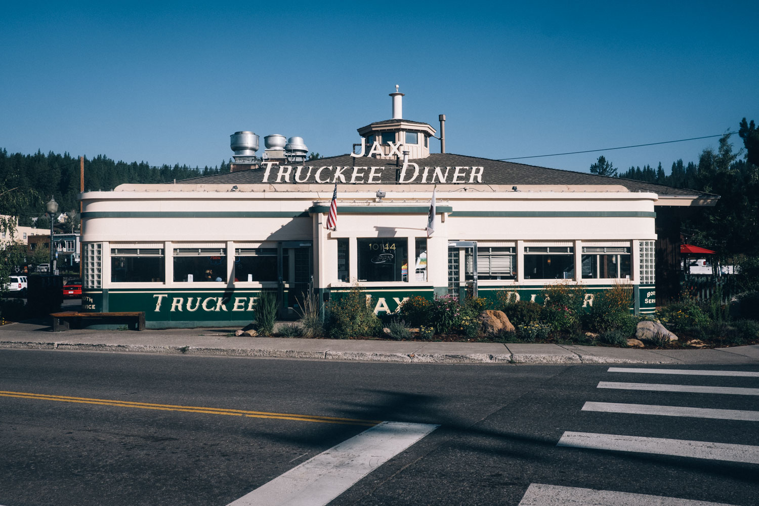
- Food can be acquired every day, be it from large supermarkets in South Lake Tahoe, Tahoe City, and Truckee, to mountain grocery stores, bars, restaurants, or gas stations.
We rode this route in 4-5 days. We started in the late afternoon in Reno, making it to the top of Mount Rose Summit by the end of the day. It took us three days of predominantly singletrack riding to get to Truckee, at a pace that allowed for photos, picnics, and swimming. The last day from Truckee to Reno is easy going but can be more exposed and hot. Luckily, you can cool off in the Truckee River at the end, right in the heart of Reno.
Note that we dropped down after Armstrong Pass, via Armstrong Connector – Sidewinder – Corral Trail – Powerline to Meyers/South Lake due to bad weather. But you can climb further along the Tahoe Rim Trail and descend Mr Toad’s Wild Ride/Saxon Creek as well.
Diehard singletrack lovers can work in more trail to the route; check out Trailforks and MTB Project for options.
Tah0e-Pyramid Trail
Looking for a more direct return to Reno? A fantastic traffic-free bypass – the Tahoe-Pyramid Trail – is in the process of being built and as of 2019, the sections between Truckee to Reno are now finished. Running alongside the Truckee river, the Tahoe-Pyramid Trail provides an excellent, traffic-free alternative to returning more directly to Reno and from what I’ve heard, it makes a very scenic ride. See the website linked above for segment distances and access points.
The access point in Truckee is shown on the map/gpx file. It reconnects with the Tahoe Twirl in Verdi and is 12 miles shorter. It follows the river rather than forest roads/trails and saves some 1300+ feet of climbing.
Additional Resources
- There is lots of general information is to be found at the main hub of the Tahoe Rim Trail
- To ride the full loop of Lake Tahoe on almost exclusively dirt and trail, see the awesome (and considerably more demanding) Ride the Tahoe Rim. This gpx file is maintained by local rider Matt Cor and is also run as a self-supported race. Be prepared to hike a hike across the infamous Rubicon Trail! The Tahoe Twirl is definitely a lot more mellow.
- Check out Bones to Blue for another, singletrack-weighted option. This 250-mile event can also be raced in mid August.
- Meriwether’s account of riding the Tahoe Rim Trail
- If you have more time to explore Tahoe’s vast trail network unladen, there’s lots of great local info on MTB Projects and Trailforks
- The Tahoe Area Mountain Bike Association has a useful FAQ section


Terms of Use: As with each bikepacking route guide published on BIKEPACKING.com, should you choose to cycle this route, do so at your own risk. Prior to setting out check current local weather, conditions, and land/road closures. While riding, obey all public and private land use restrictions and rules, carry proper safety and navigational equipment, and of course, follow the #leavenotrace guidelines. The information found herein is simply a planning resource to be used as a point of inspiration in conjunction with your own due-diligence. In spite of the fact that this route, associated GPS track (GPX and maps), and all route guidelines were prepared under diligent research by the specified contributor and/or contributors, the accuracy of such and judgement of the author is not guaranteed. BIKEPACKING.com LLC, its partners, associates, and contributors are in no way liable for personal injury, damage to personal property, or any other such situation that might happen to individual riders cycling or following this route.
Please keep the conversation civil, constructive, and inclusive, or your comment will be removed.