


The Swiss Jura Explorer
Distance
155 Mi.
(249 KM)Days
3-5
% Unpaved
70%
% Singletrack
2%
% Rideable (time)
99%
Total Ascent
20,075'
(6,119 M)High Point
5,209'
(1,588 M)Difficulty (1-10)
5?
- 9Climbing Scale Very Strenuous130 FT/MI (25 M/KM)
- -Technical Difficulty
- -Physical Demand
- -Resupply & Logistics
Contributed By
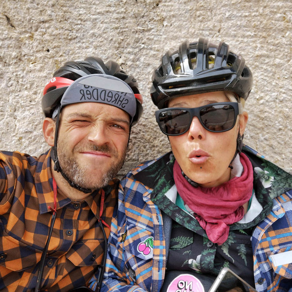
Sara and Andreas
Guest Contributor
Riding all kinds of bikes in and around Switzerland for years, Sara and Andreas finally made a dream come true and left home in Summer 2019 with their loaded bikes for an open-end adventure. Follow their journey on their website, or on Instagram @projectpedalfurther.
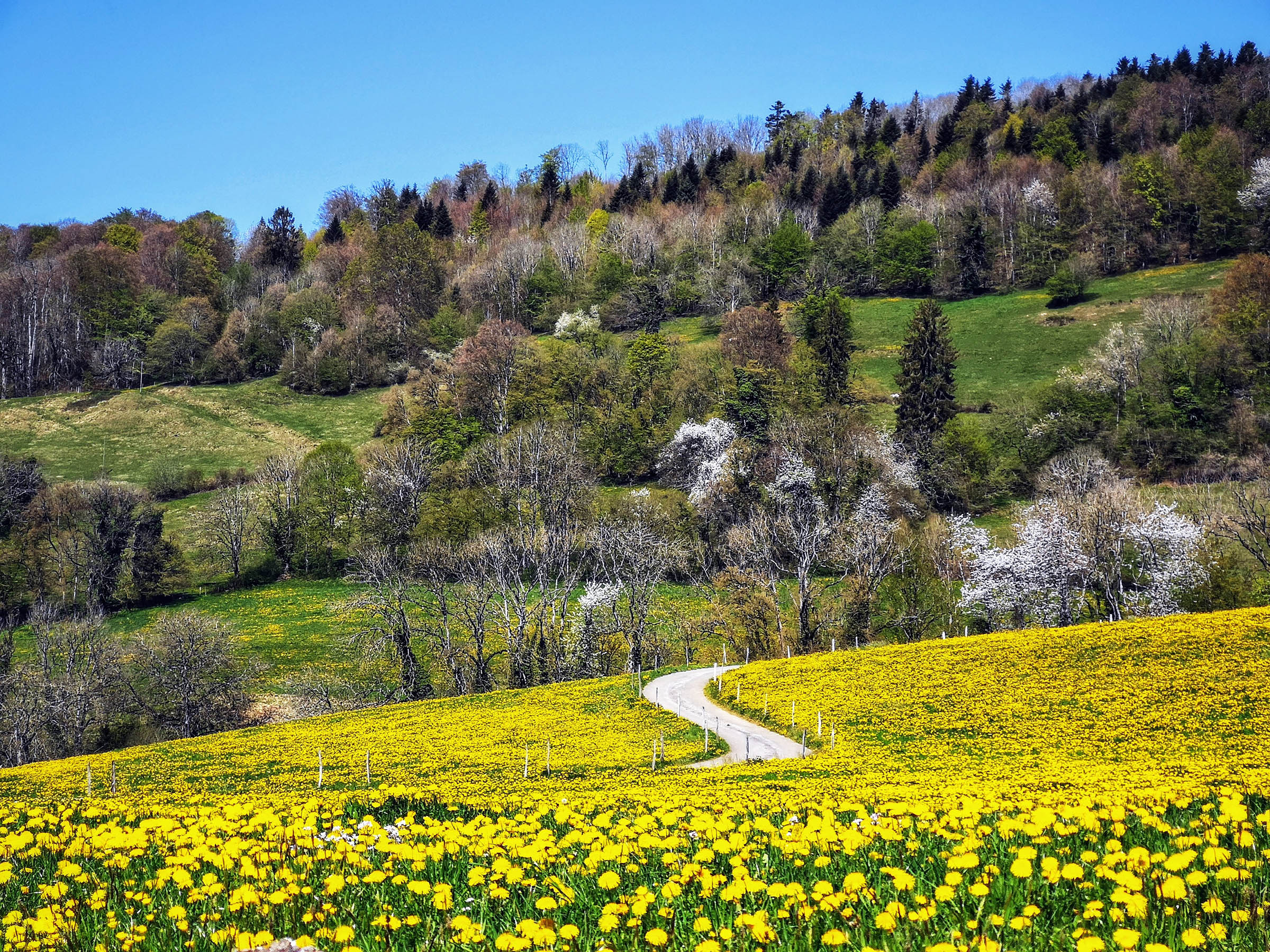
Aside from the Alps, the Jura mountains are the second most important mountains in Switzerland. The range forms a natural border with France. While the Alps are well known worldwide, the Jura receives fewer visitors. As such, it’s one of the wilder and more sparsely populated areas in Switzerland. People either speak French or German, are incredibly hospitable, and always ready to help.
The route starts and ends in Biel/Bienne, home of Rolex and (more important for most of us) DT Swiss. The town has excellent public transport connections and the Lago Lodge Hostel with it’s own Micro Brewery on the lake makes it a perfect place to start and finish the trip.
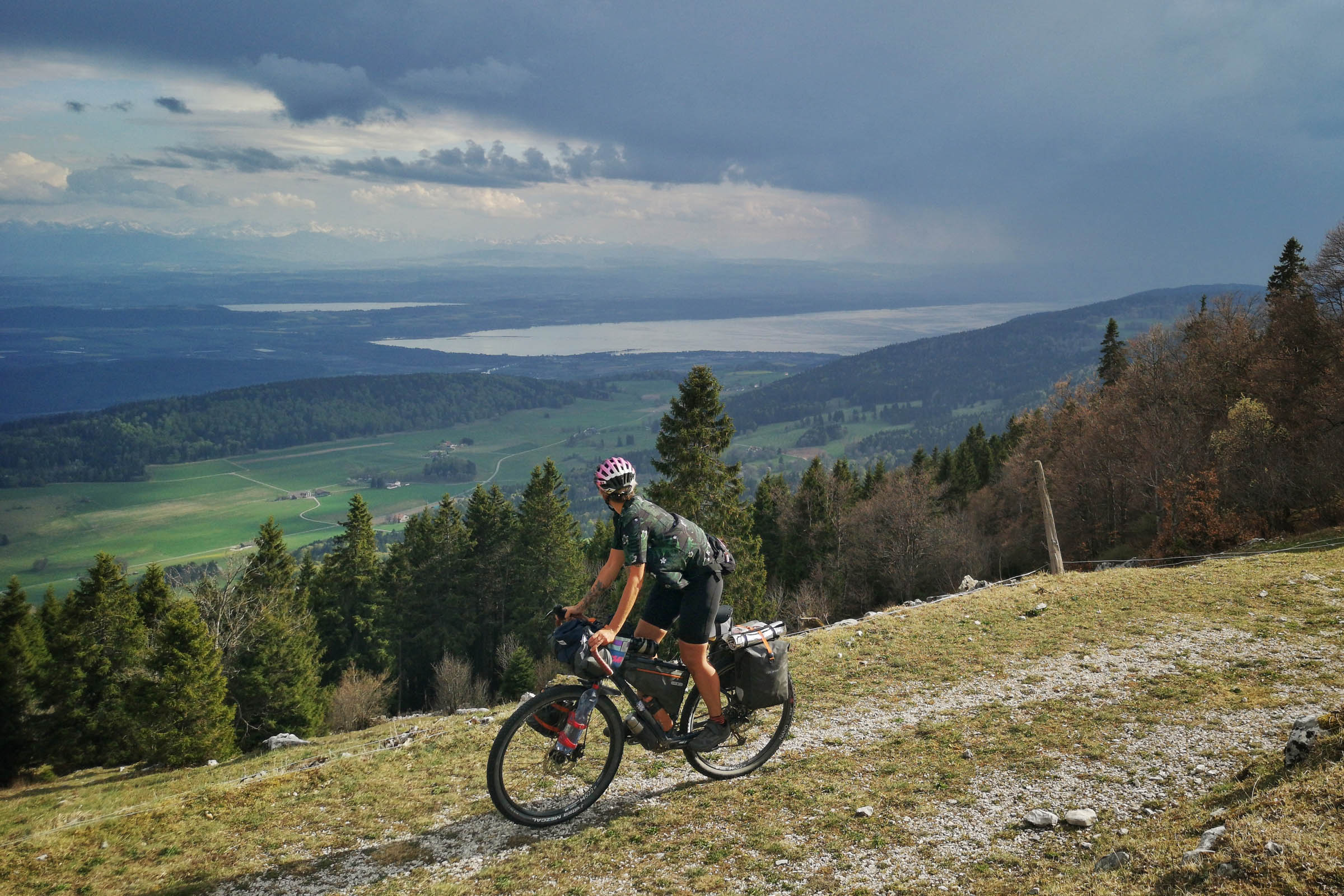
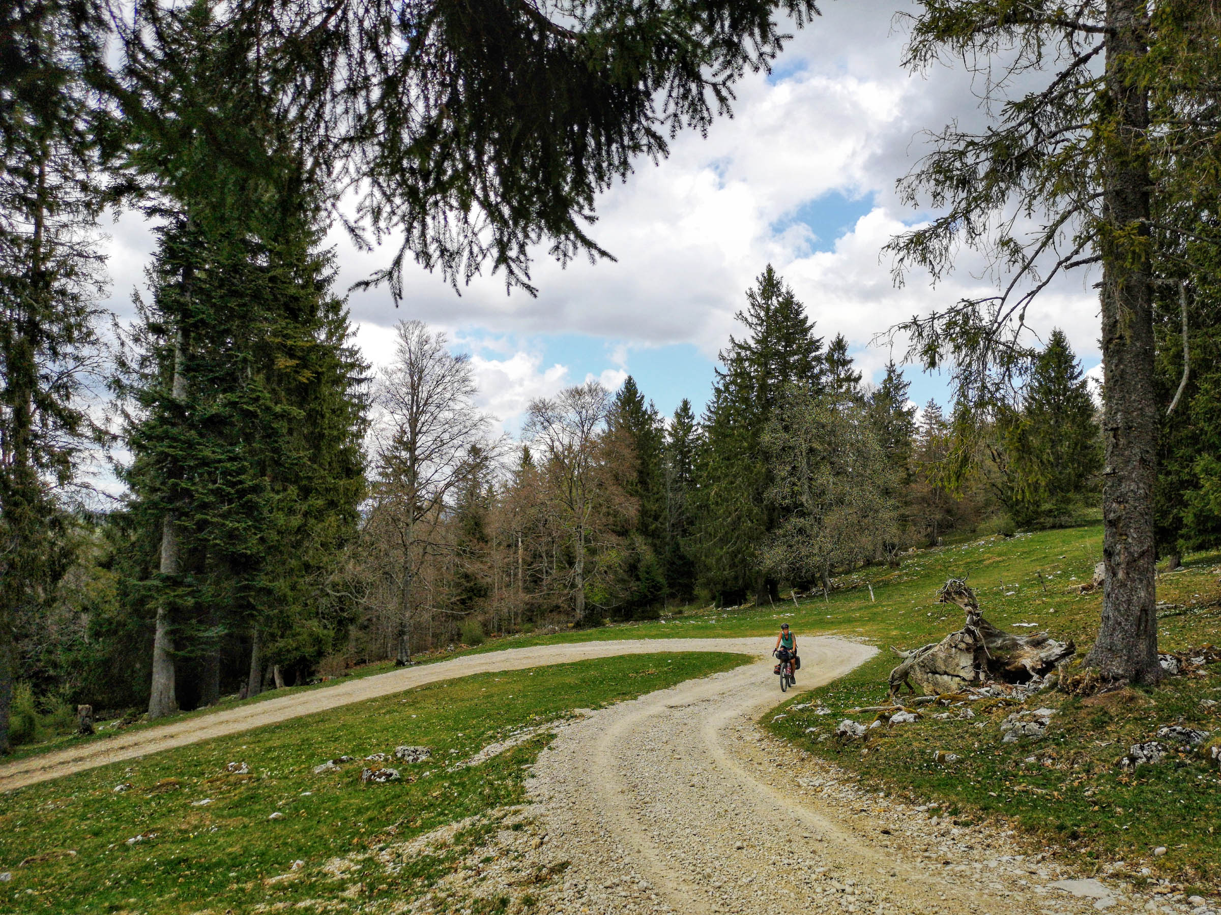
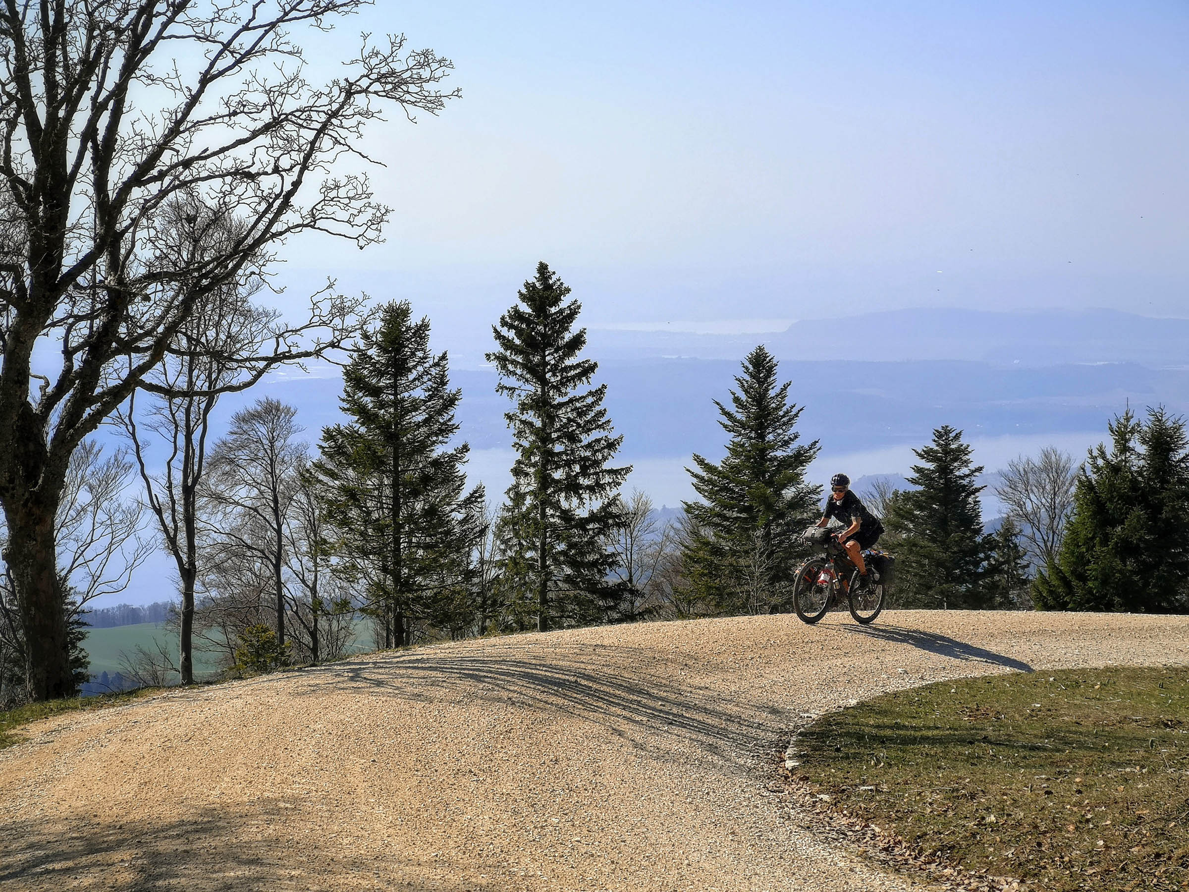
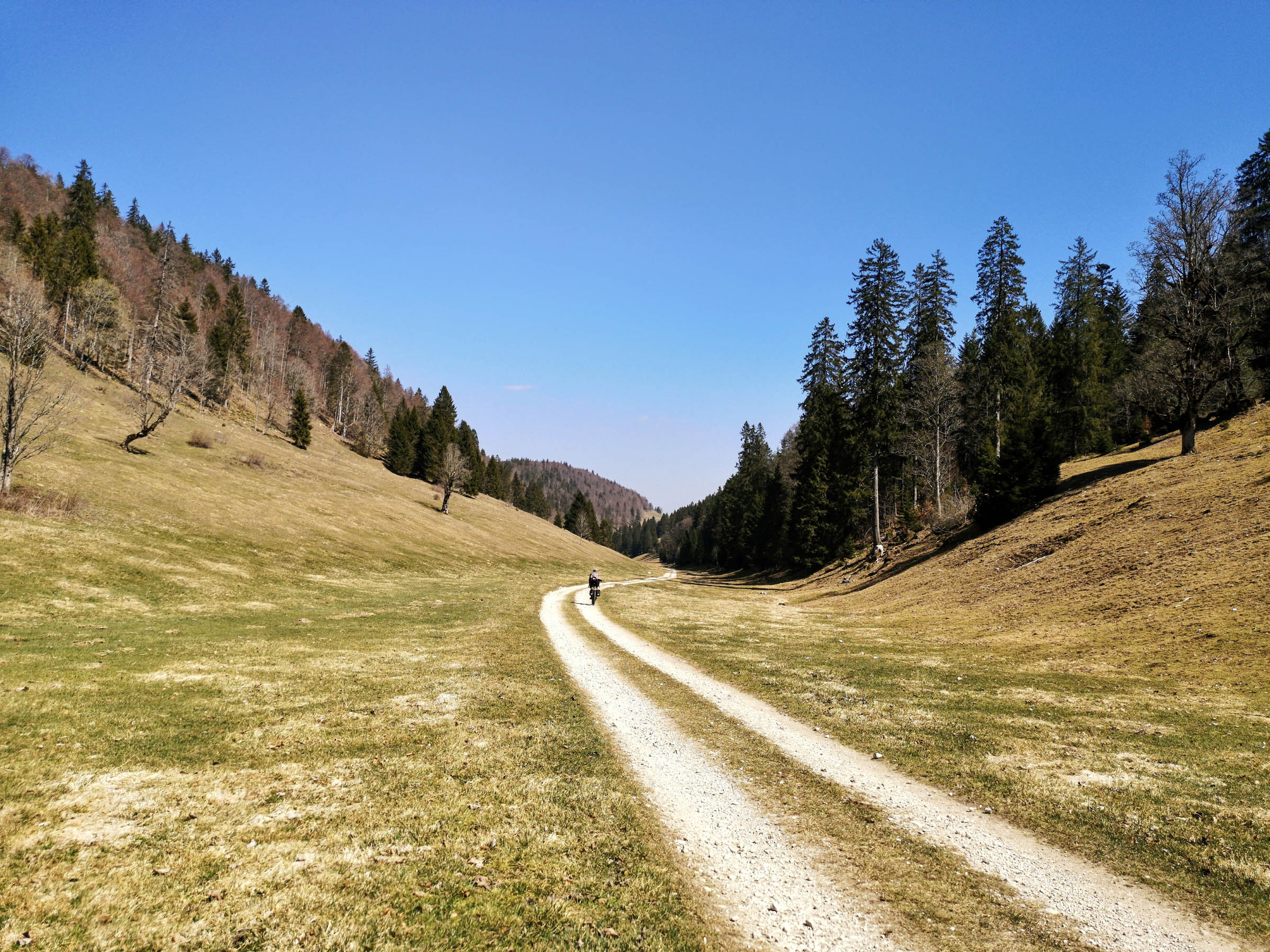
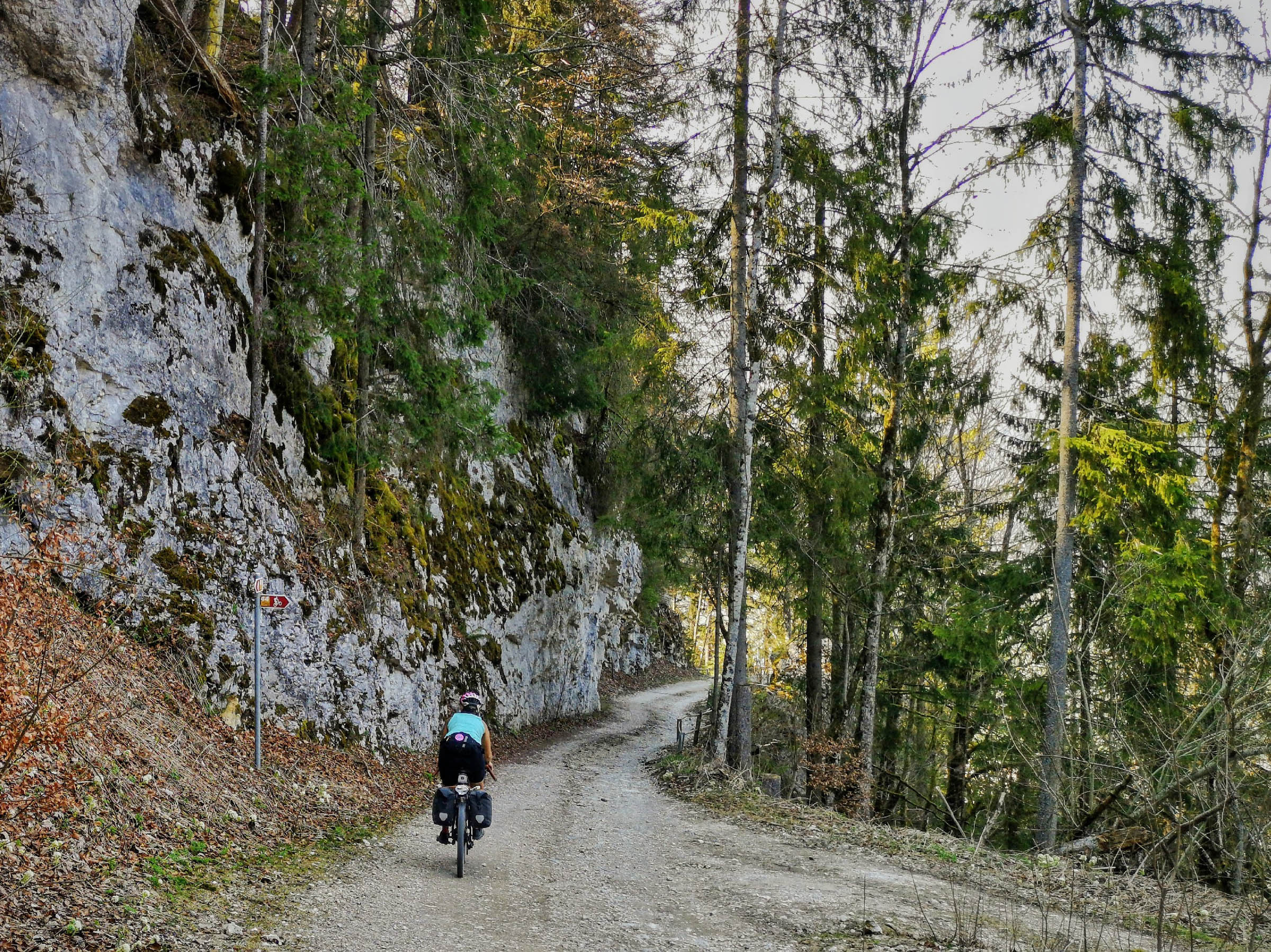
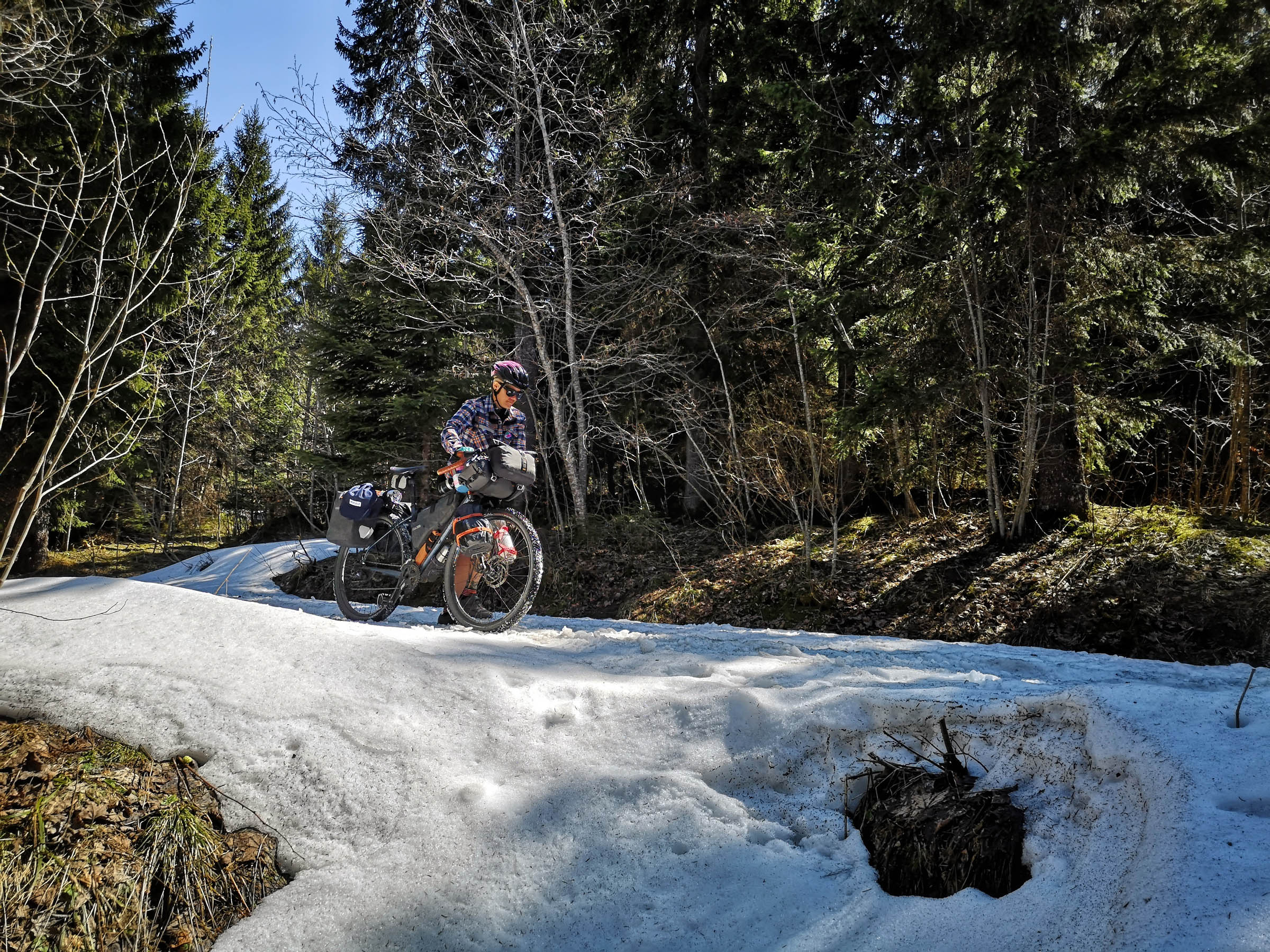
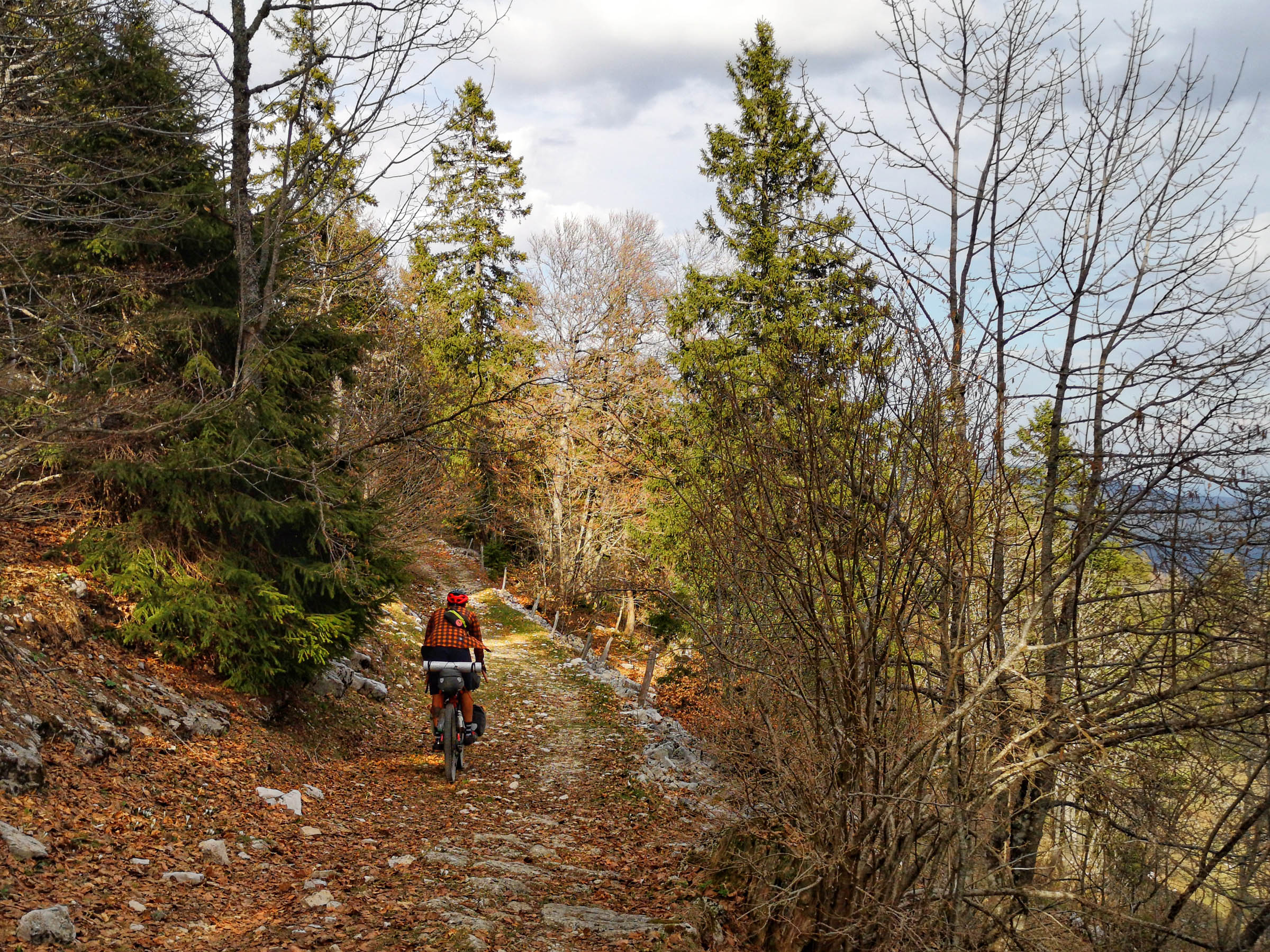
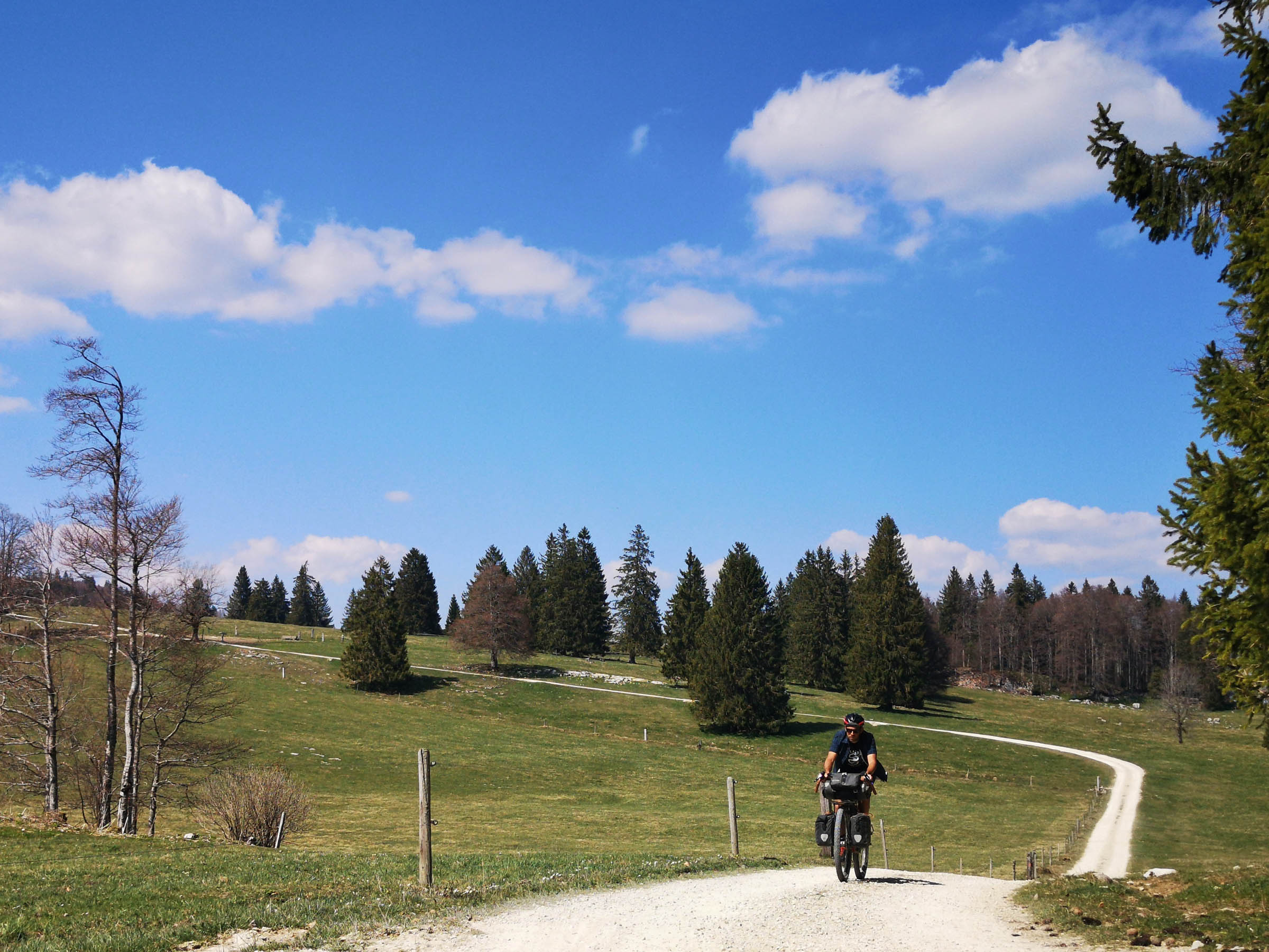
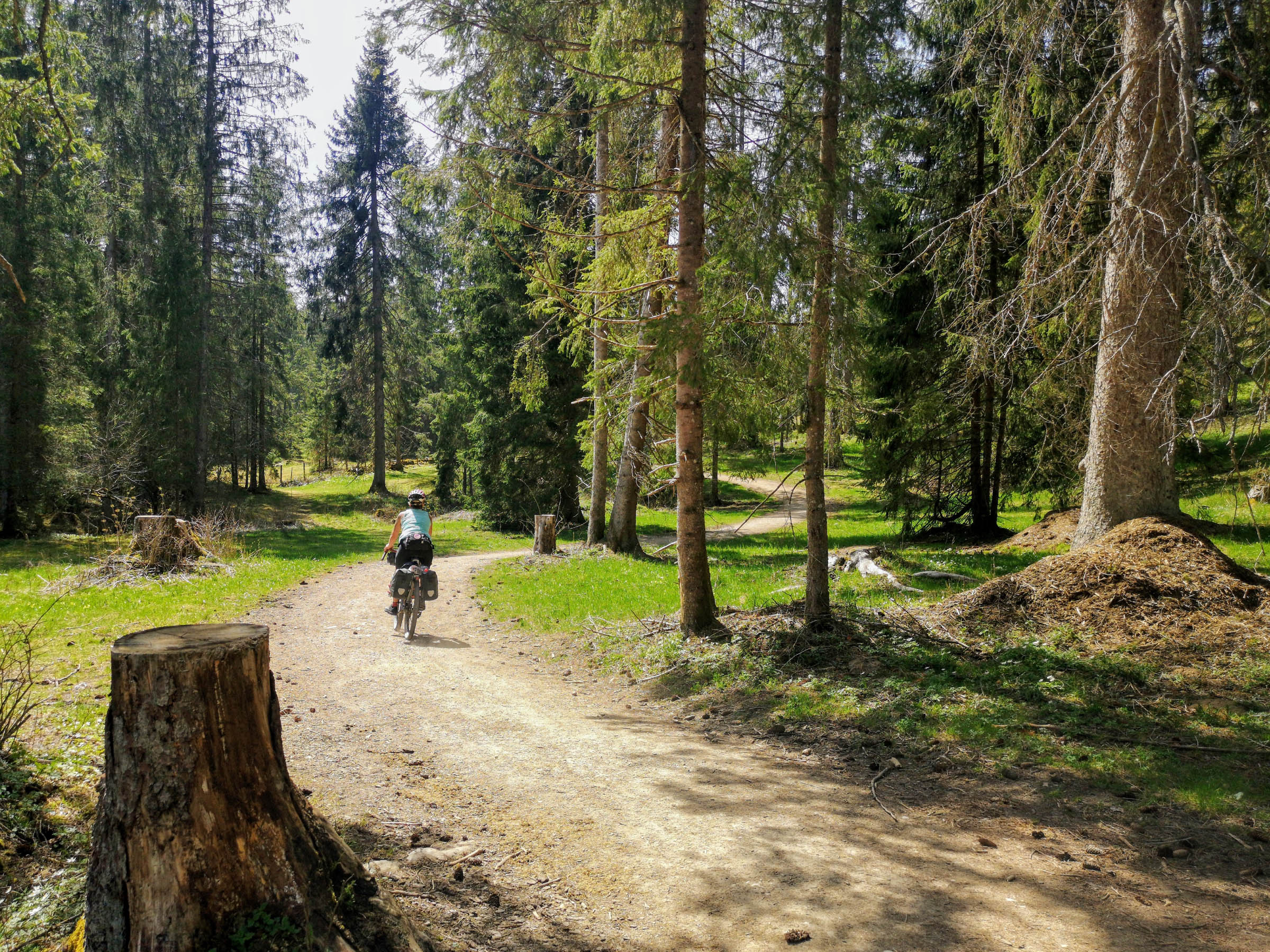
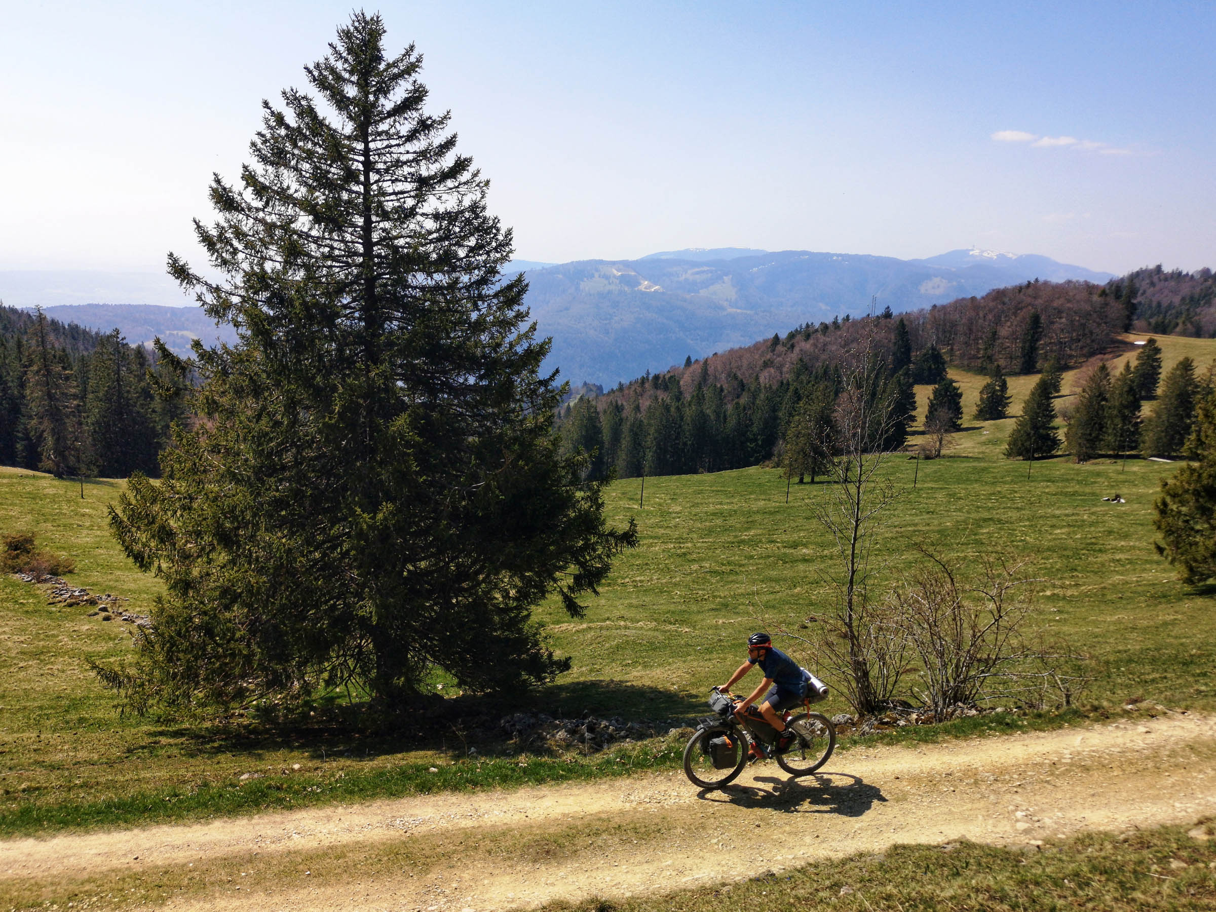
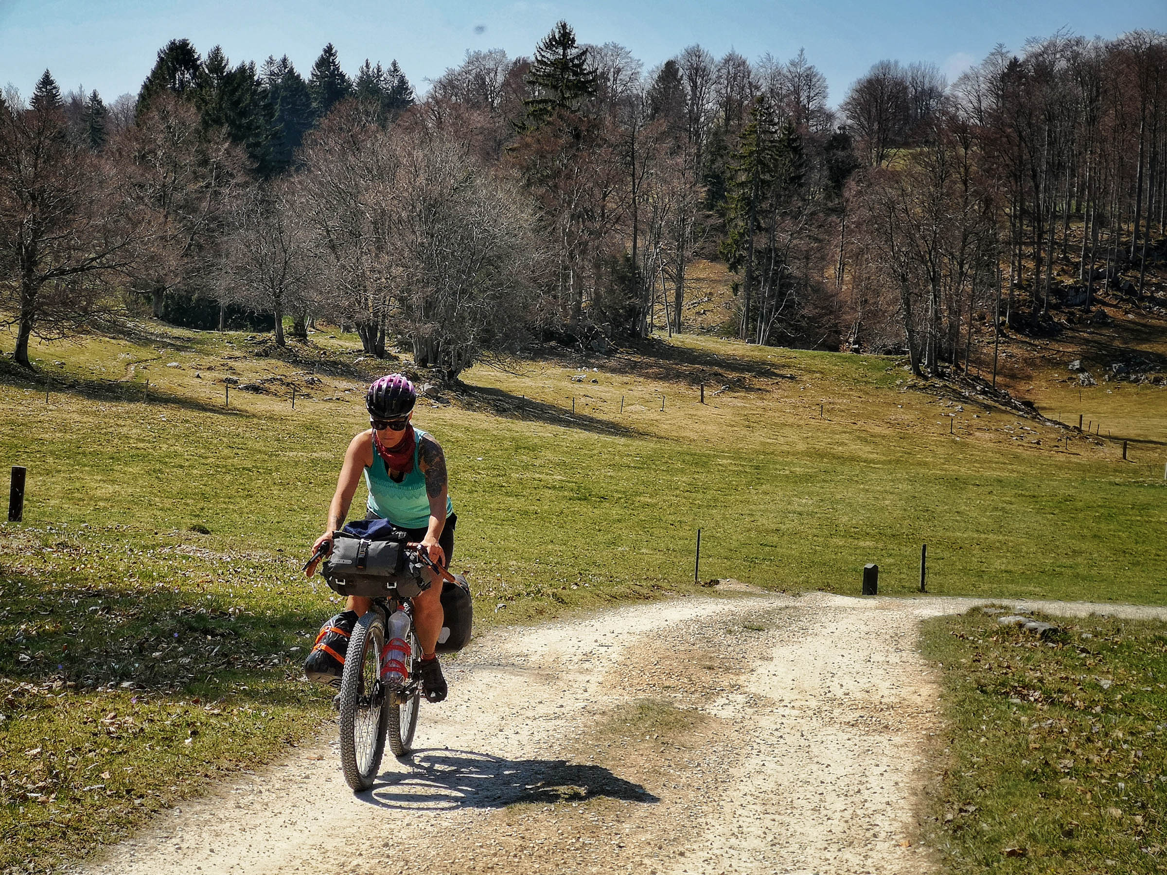
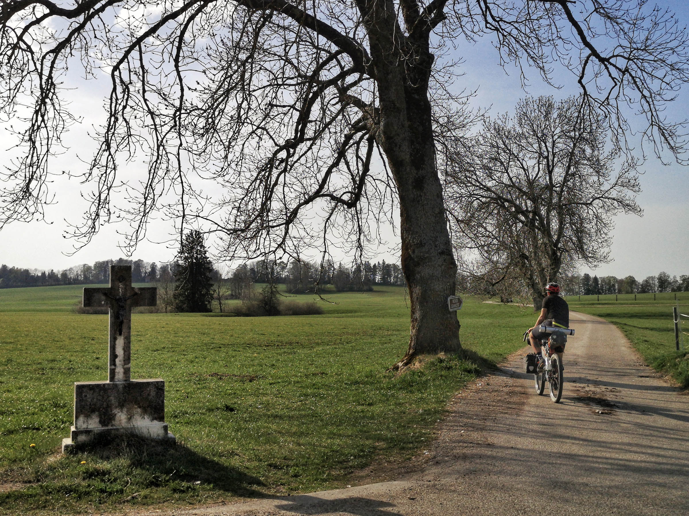
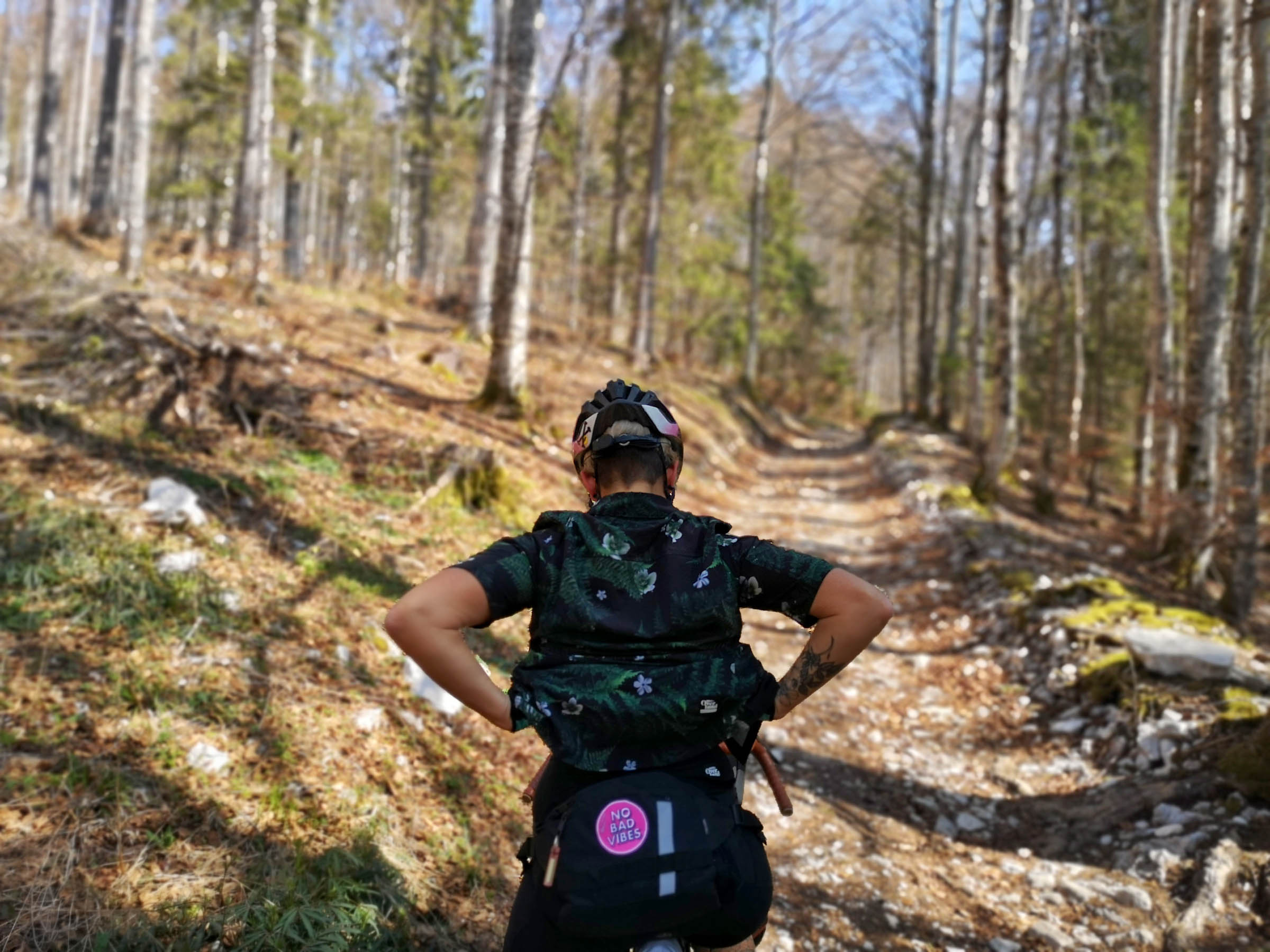
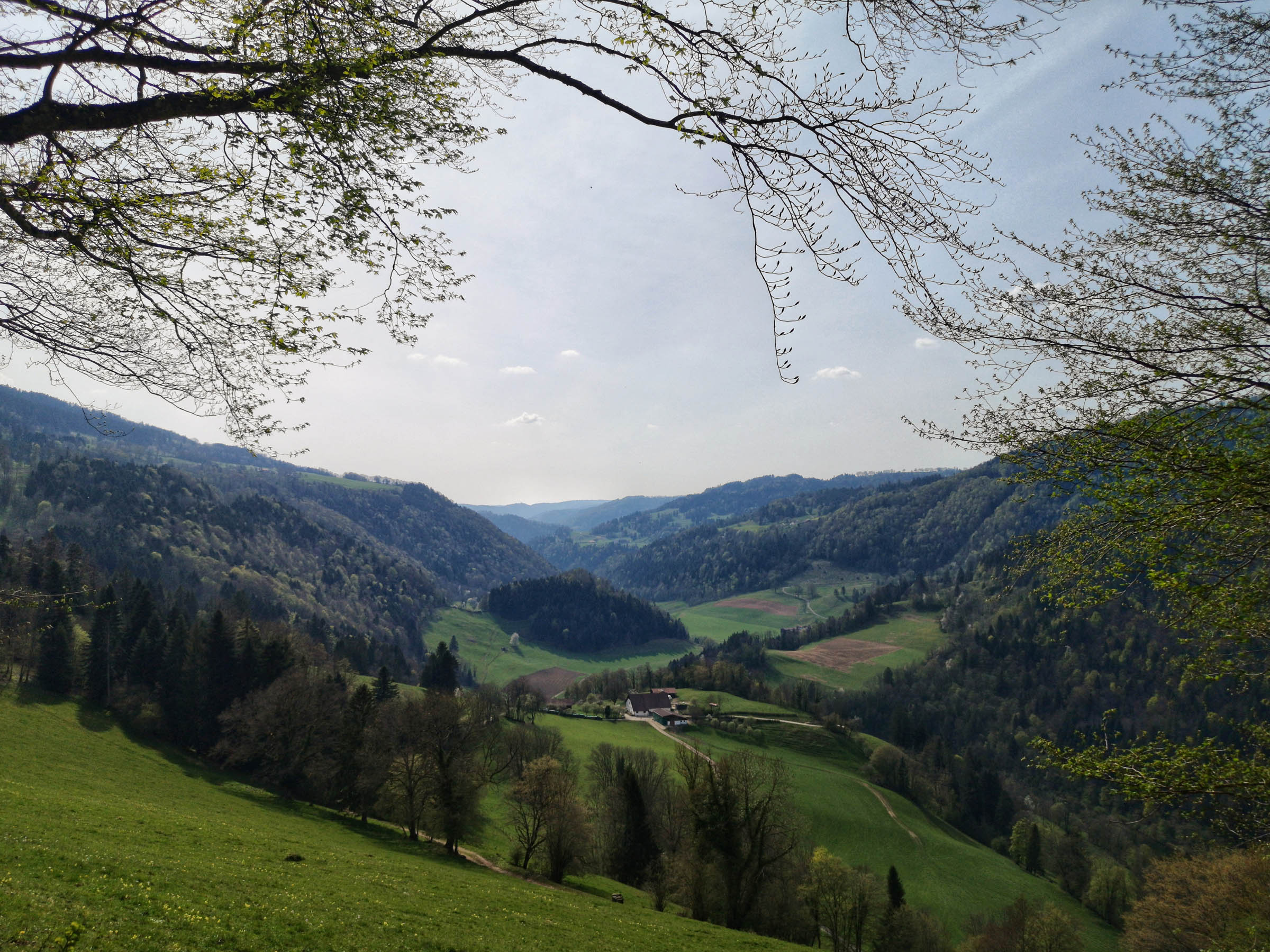
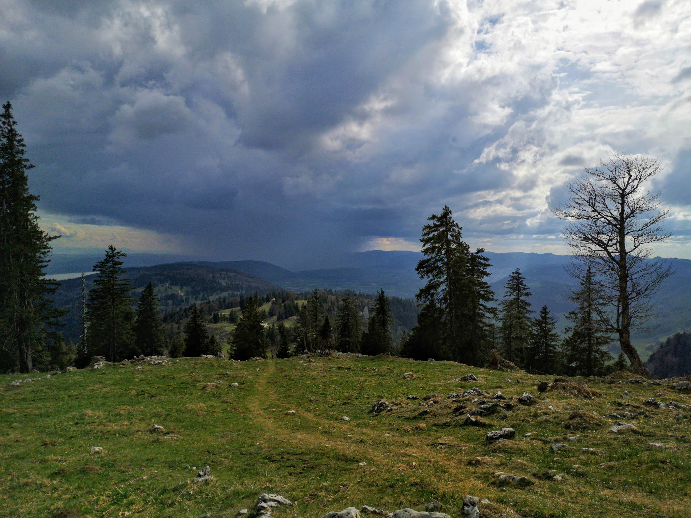
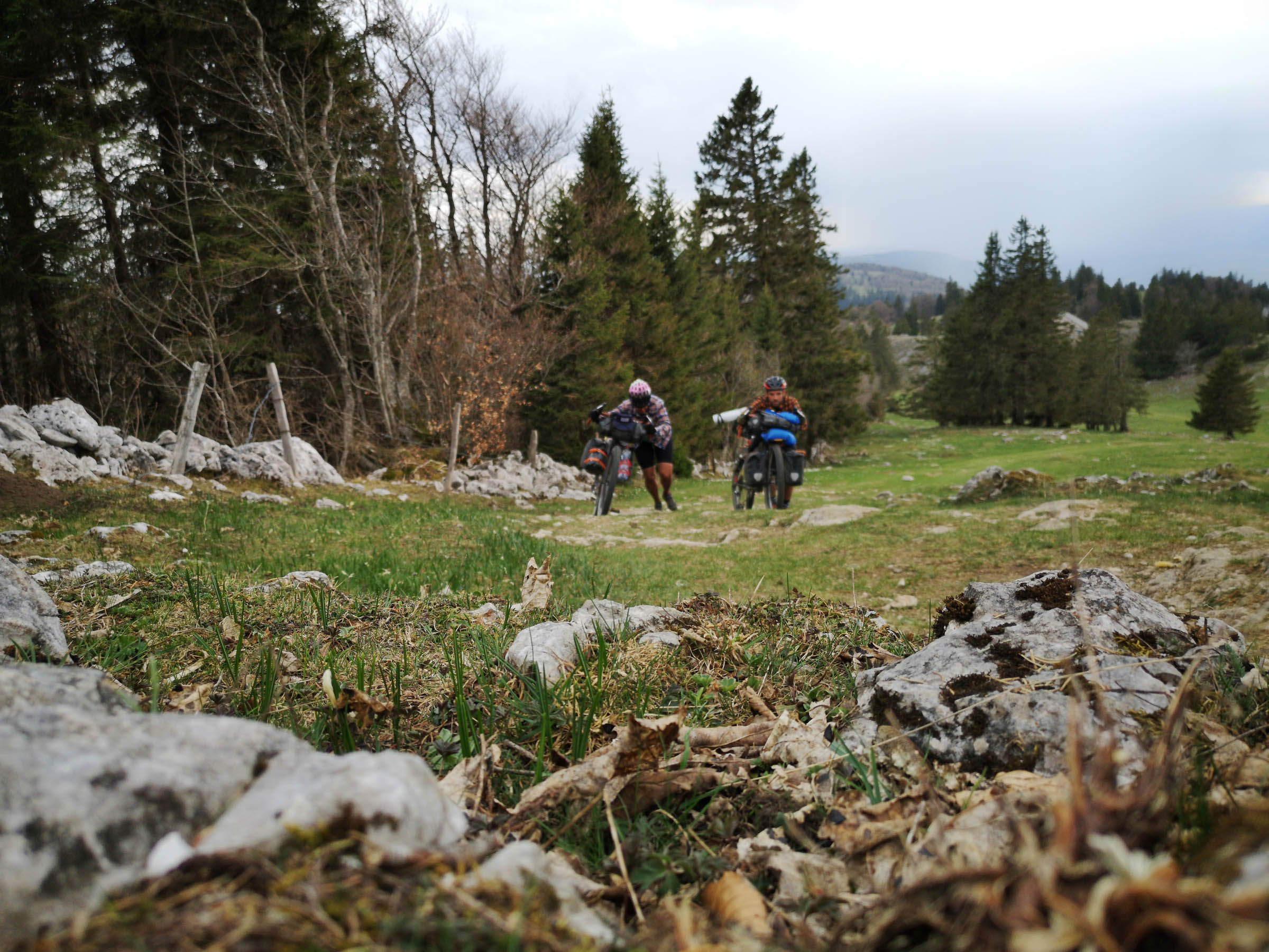
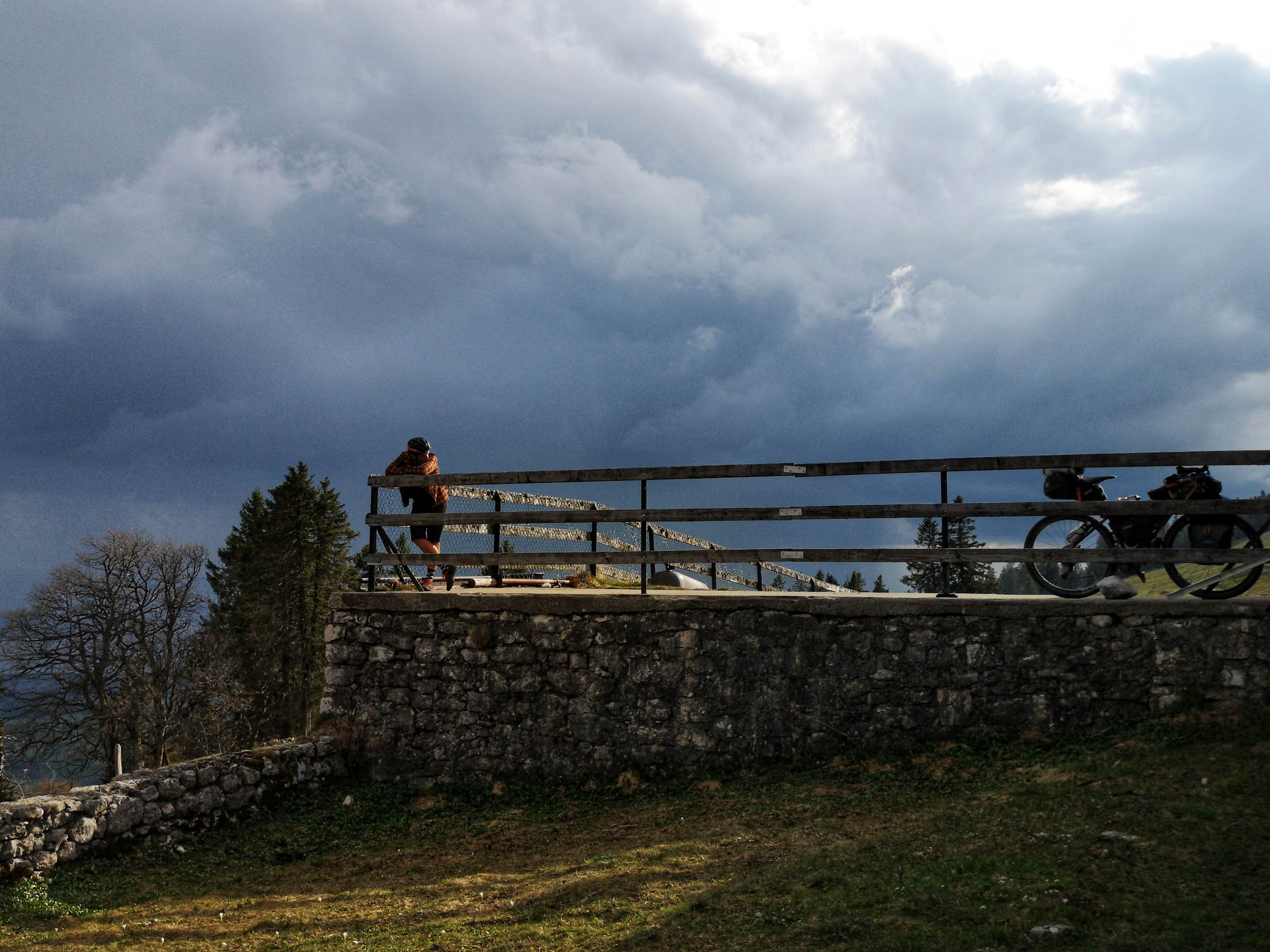
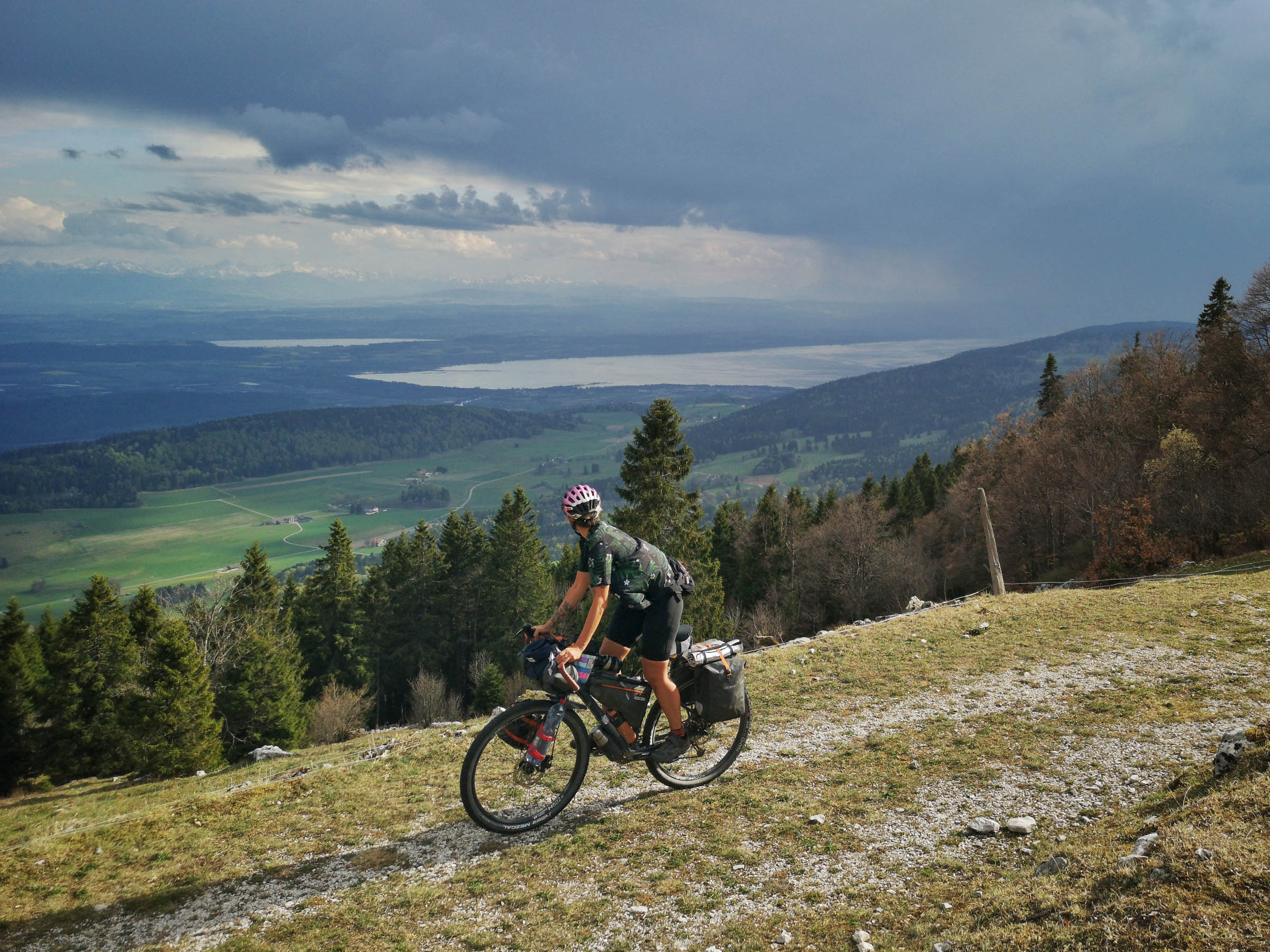
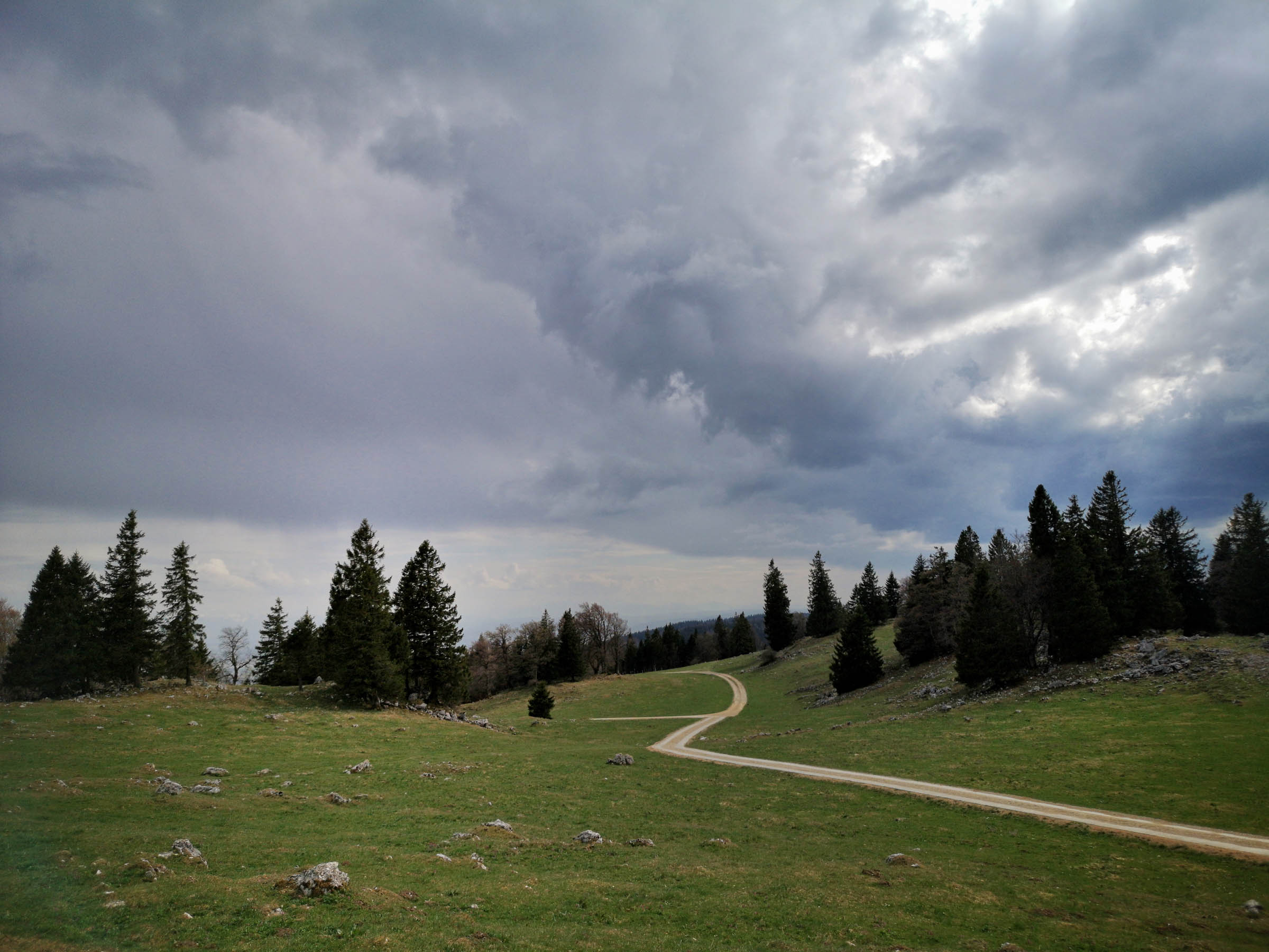
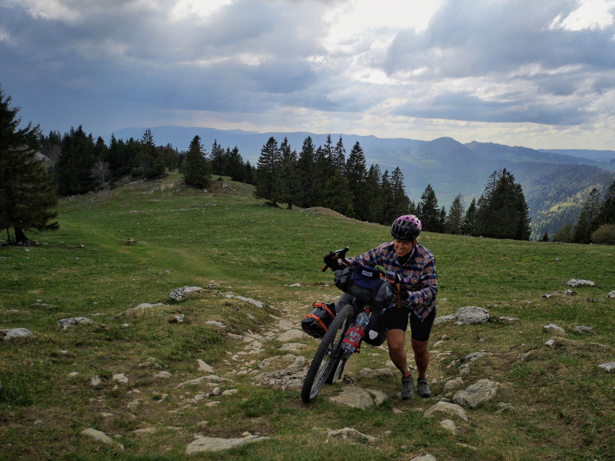
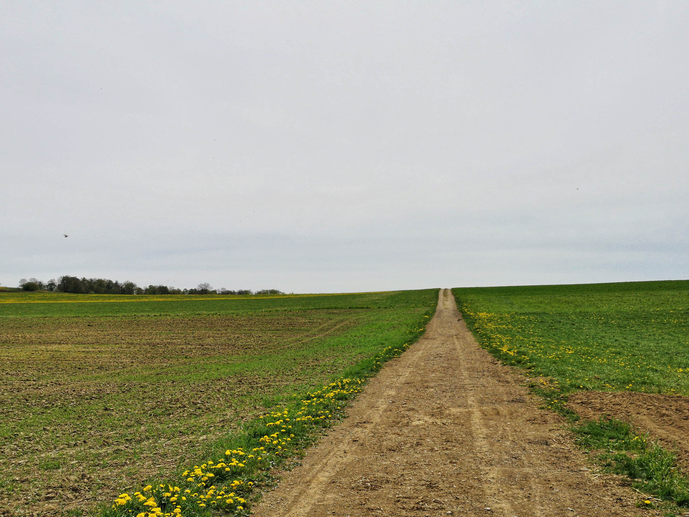
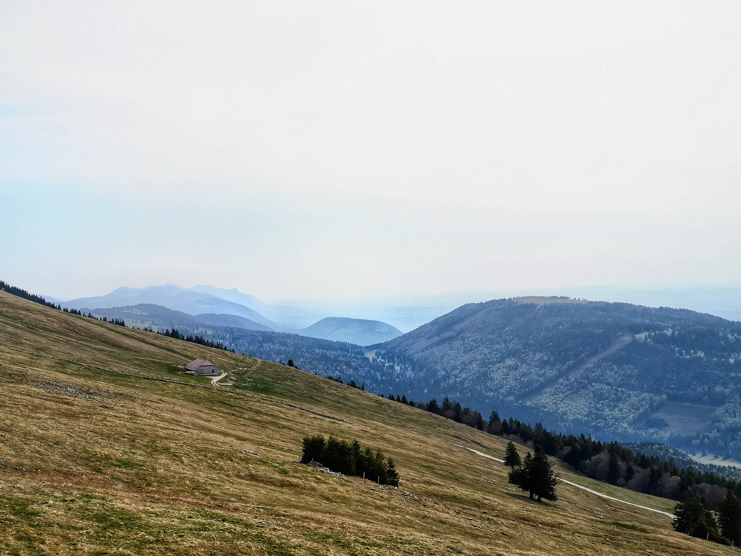
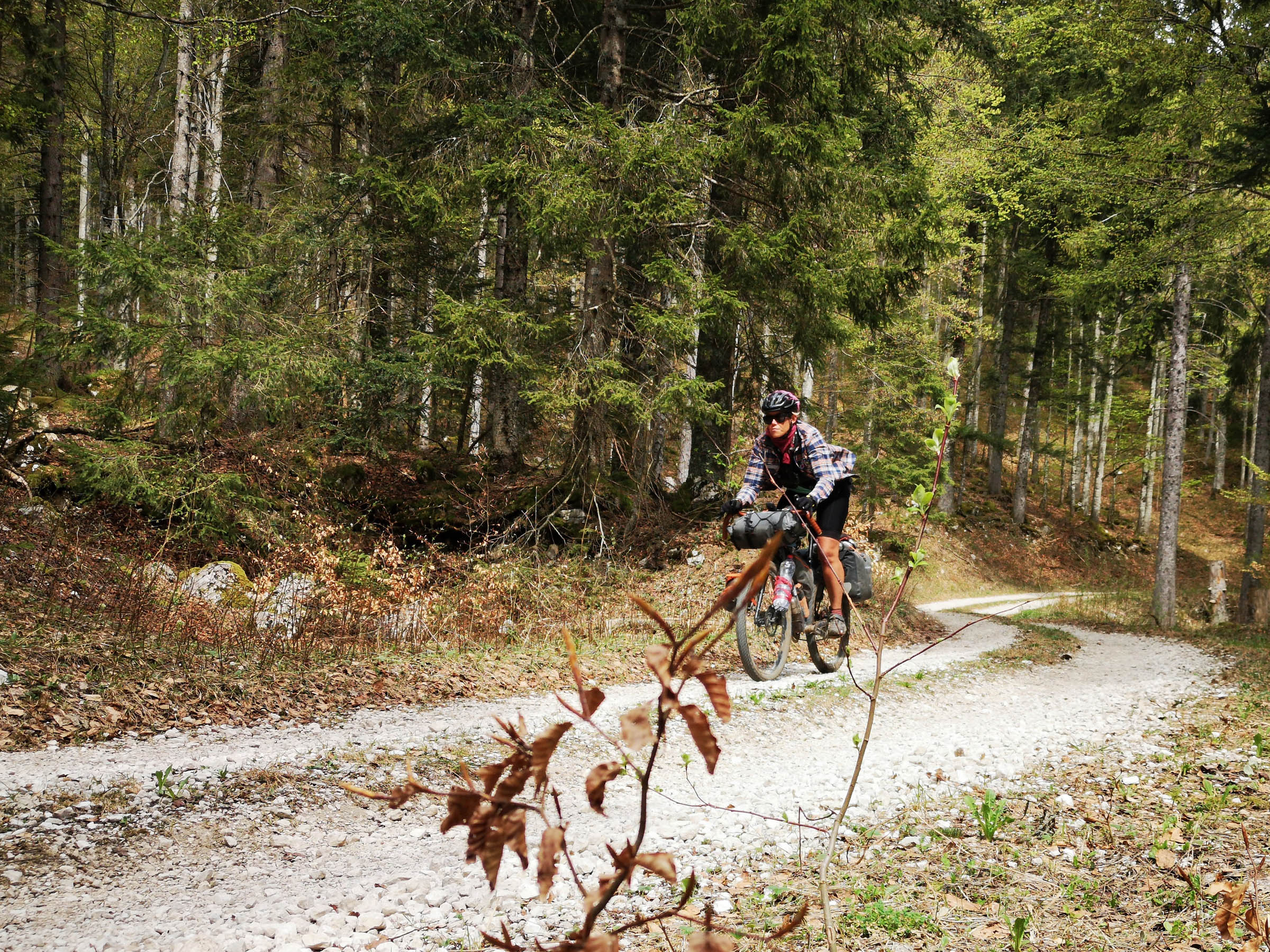
Along a distance of 250 kilometers, just over 6,000 meters of elevation has to be climbed. The majority of the route is on gravel roads, but in between there are also sections of tarmac, some singletrack trails, and very rarely it is necessary to push the bike. Sometimes you ride on a ridge, other times within dense forests, and sometimes along inviting streams where you might even go for a swim. The route also leads through small, historical villages which are worth visiting and offer a good opportunity to resupply.
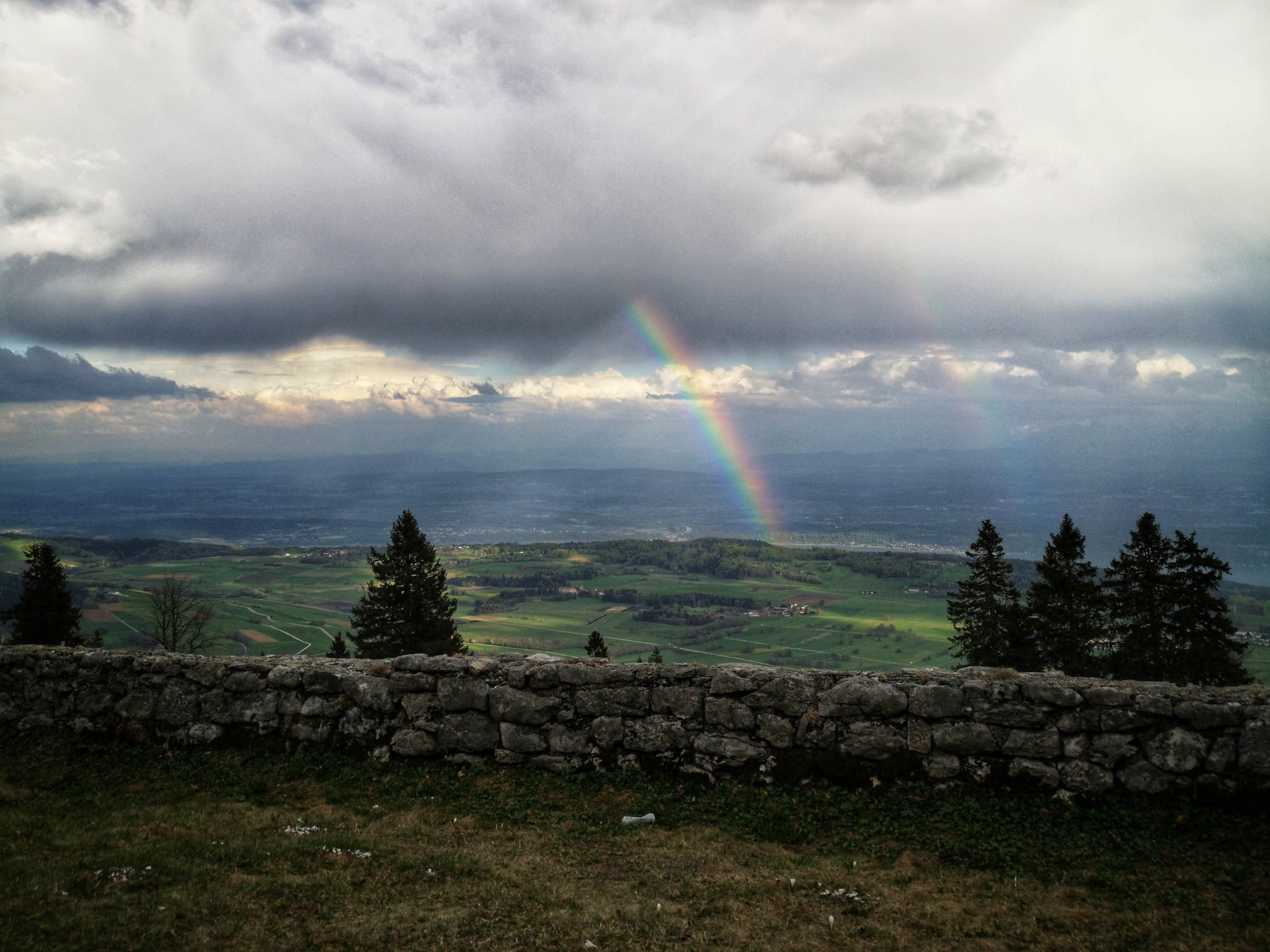
If you love silence, seclusion, breathtaking views, and a challenge, this route will definitely suit you.
Difficulty
In terms of difficulty, the route is rated 5 out of 10 (Overall difficulty: 5; Technical difficulty: 2; Physical demand: 7; Resupply and Logistics: 3). However, it very much depends on how many days you plan to ride: If you try and tackle it in 3 days, you will have to deal with approximately 2,000 meters worth of climbing per day, some of which is on very steep ascents. Most of it is hard packed gravel where you won’t have to push your bike too much. The same goes for the descents.
Route Development: The Swiss Jura Explorer was a top 5 winner in the Adventures Future-Past routes competition. It was created and scouted in spring 2020, when it was important to meet as few people as possible because of the Corona virus. The route is partly a combination of existing mountain bike routes from Switzerland Mobility. To add to the experience, we spliced in several segments and places we thought were worth visiting.

Submit Route Alert
As the leading creator and publisher of bikepacking routes, BIKEPACKING.com endeavors to maintain, improve, and advocate for our growing network of bikepacking routes all over the world. As such, our editorial team, route creators, and Route Stewards serve as mediators for route improvements and opportunities for connectivity, conservation, and community growth around these routes. To facilitate these efforts, we rely on our Bikepacking Collective and the greater bikepacking community to call attention to critical issues and opportunities that are discovered while riding these routes. If you have a vital issue or opportunity regarding this route that pertains to one of the subjects below, please let us know:
Highlights
Must Know
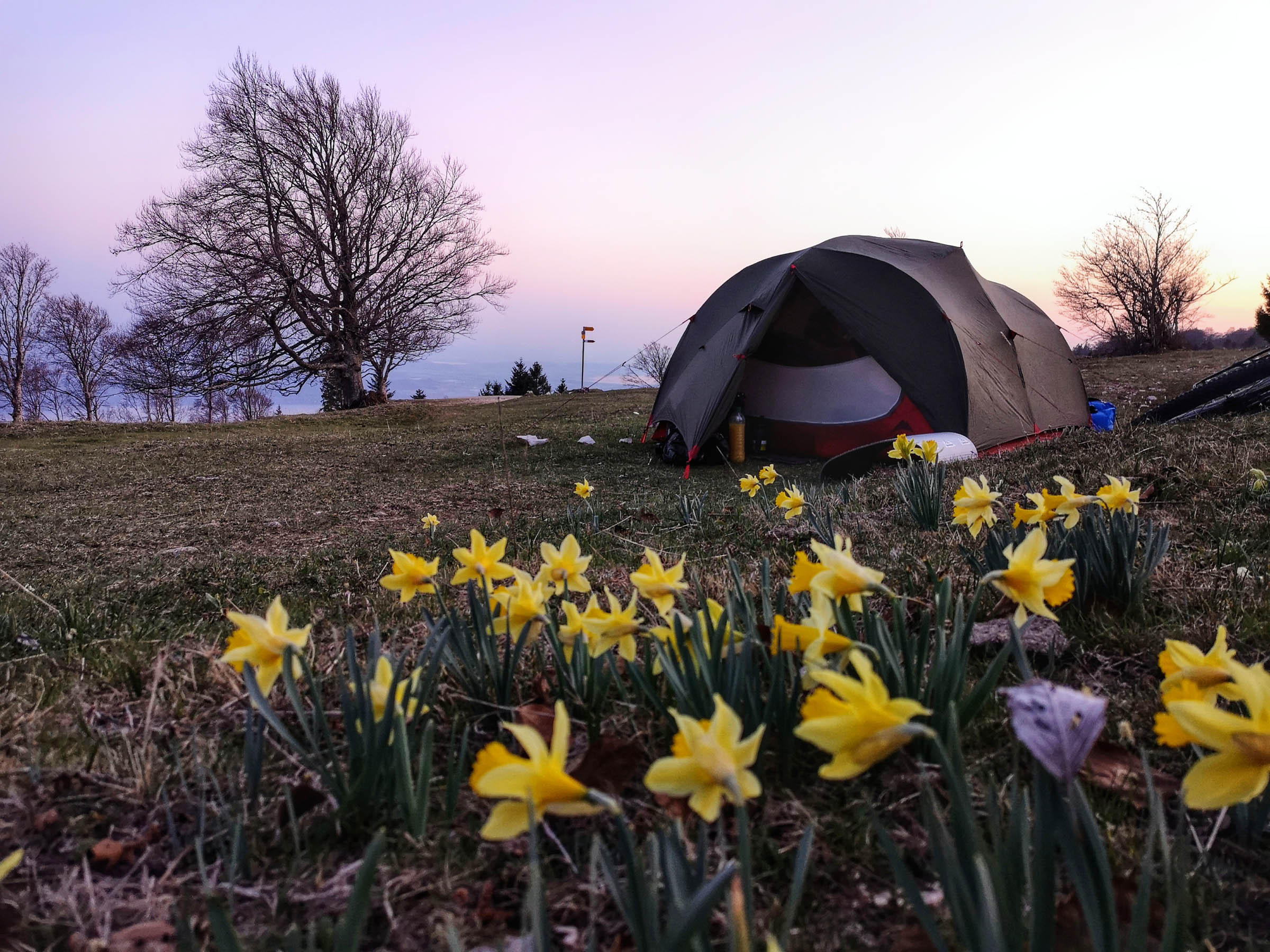
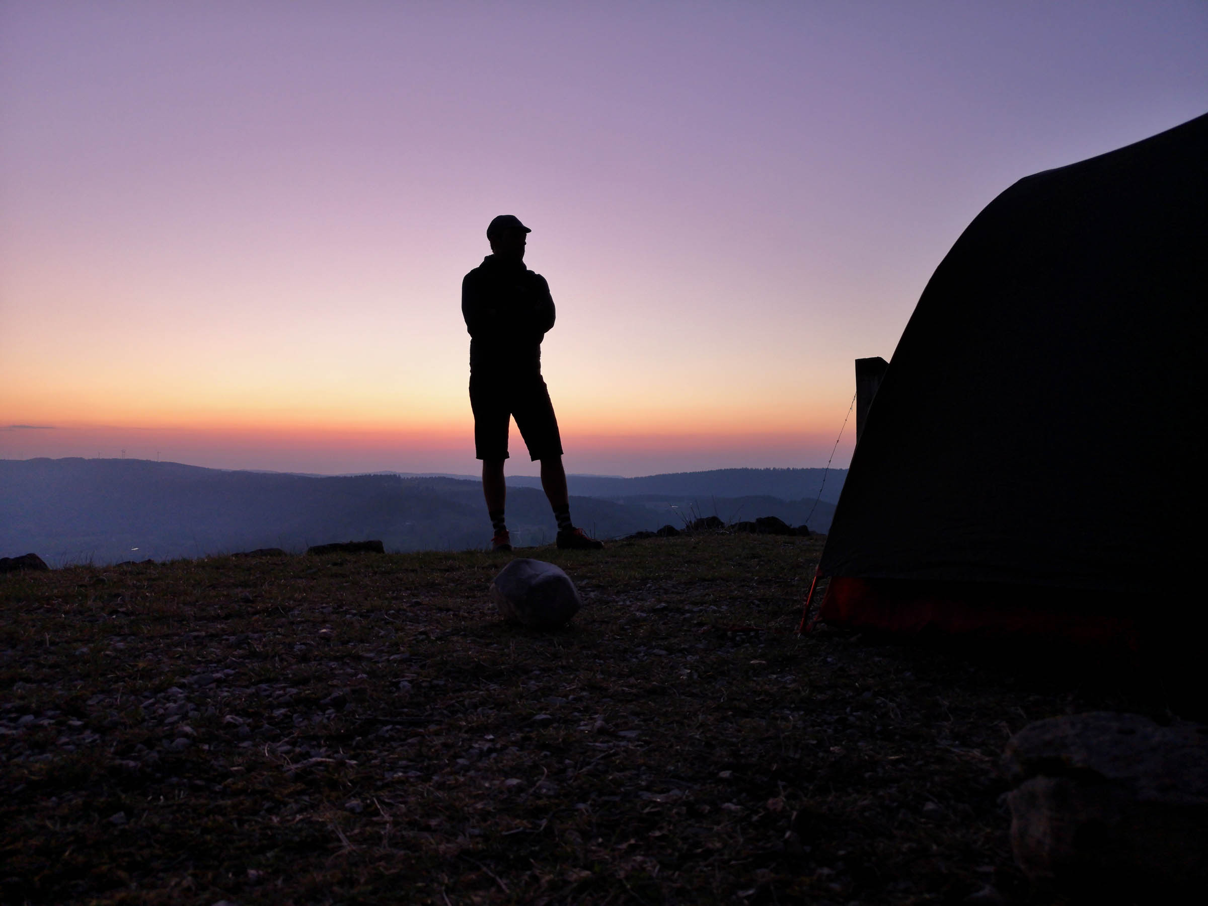
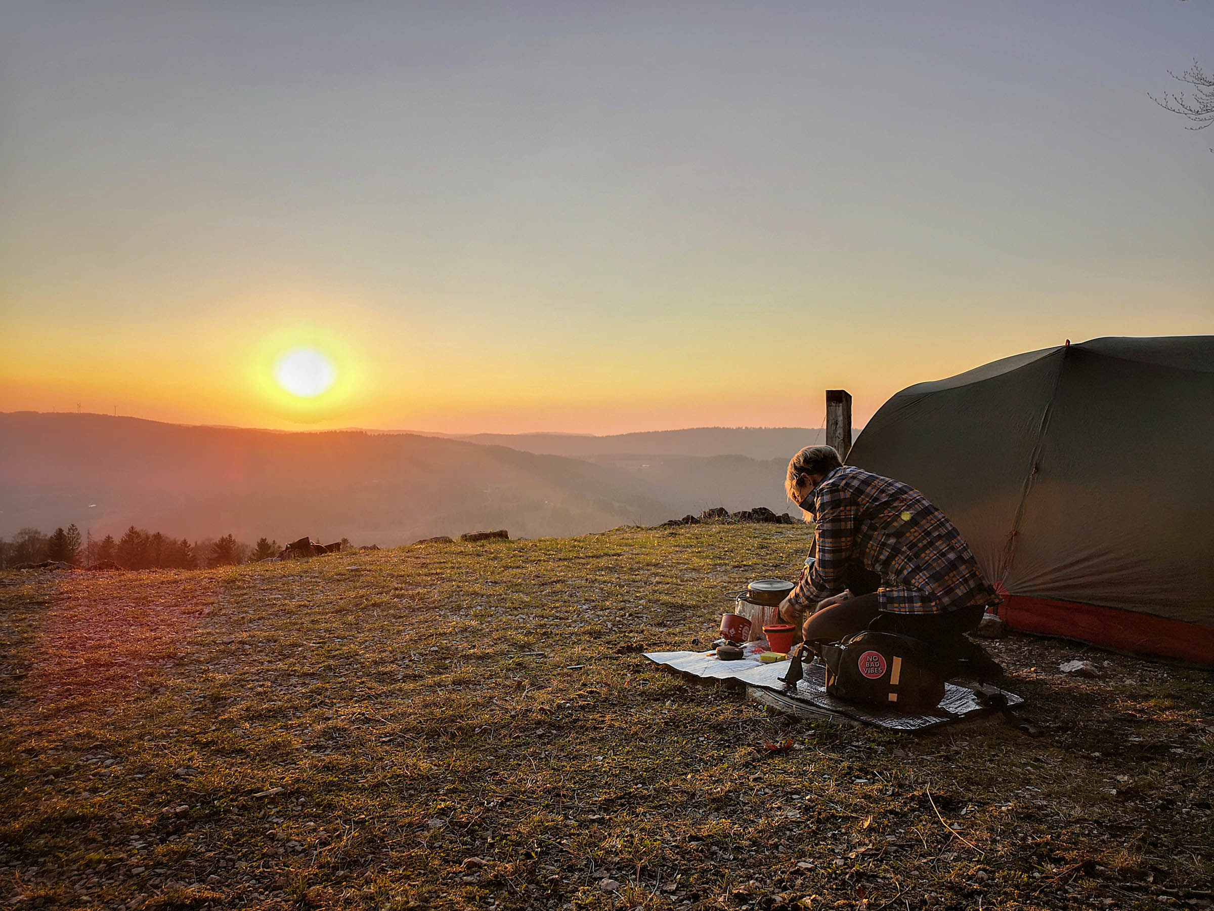
Camping
Food/H2O
Resources
- The bilingual town of Biel /Bienne, where people are somehow very relaxed and either speak French or Swiss-German, or both
- Do not miss the laid back atmosphere at Lago Lodge Youth Hostel and their attached Micro Brewery ”Seelandbräu” with it’s fantastic beer and delicious fries: lagolodge.ch and seelandbräu.ch
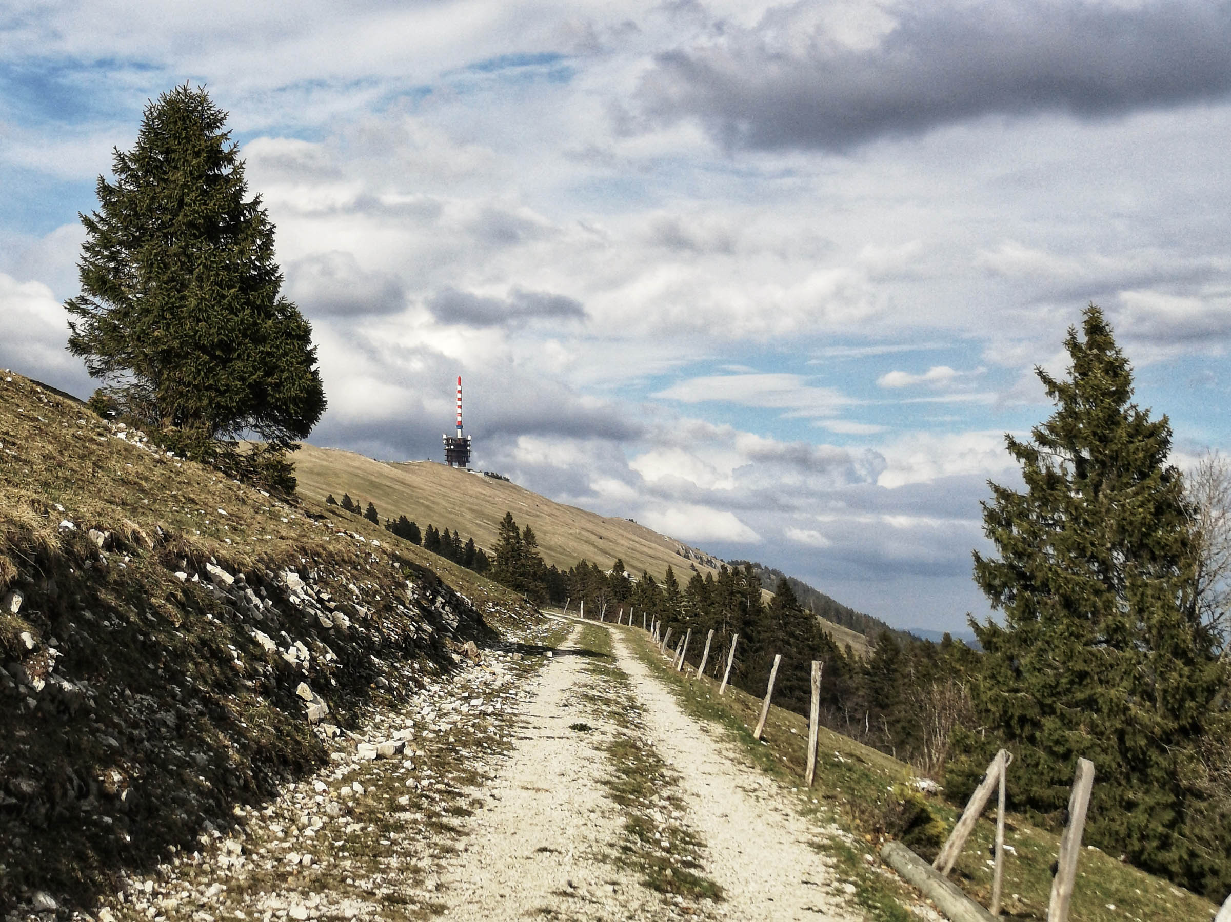
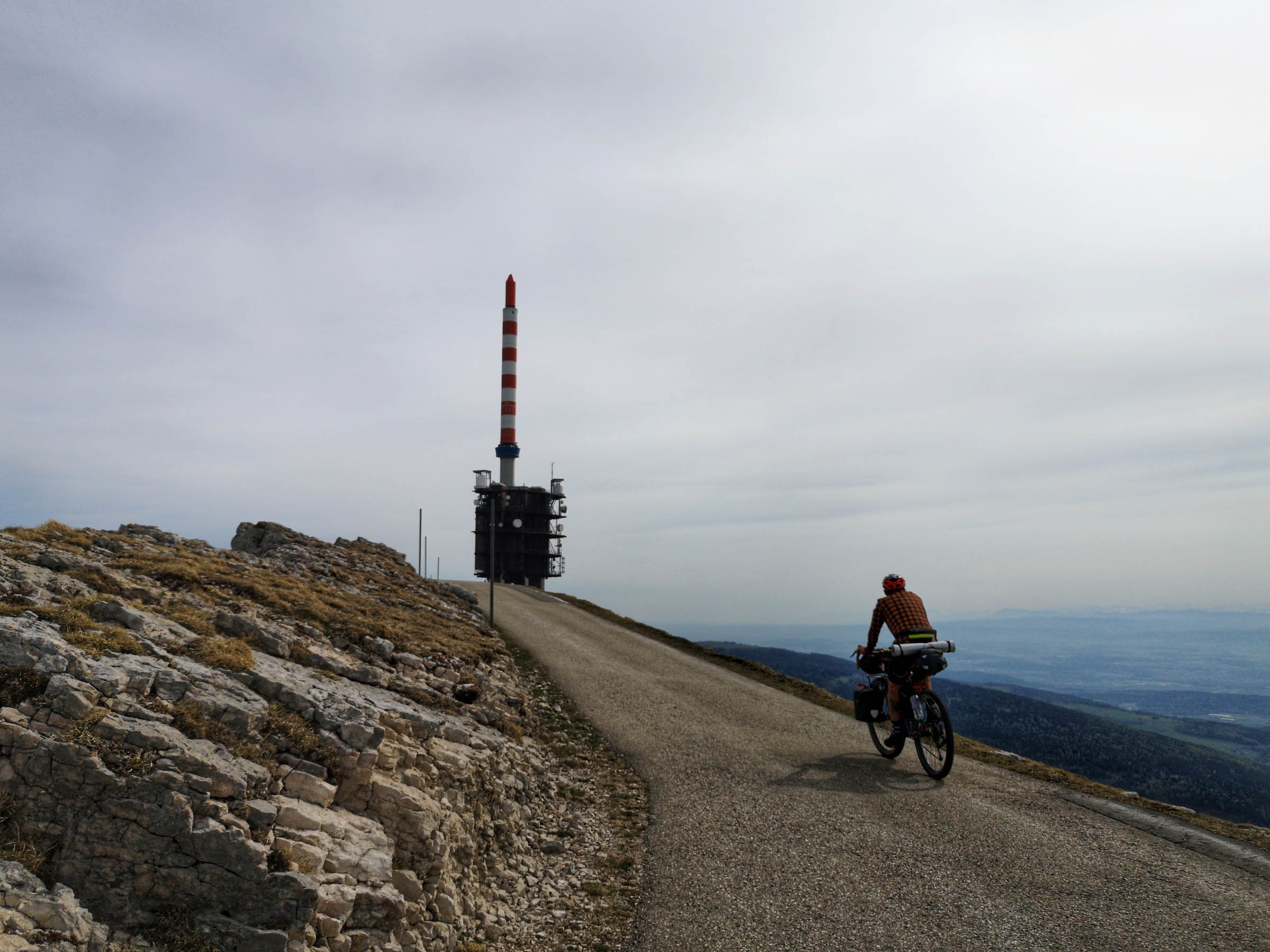
- Chasseral Nature Park with its peak and the Chasseral landmark (a telecommunication tower similar to the one on Mont Ventoux in France), that is visible in the distance.
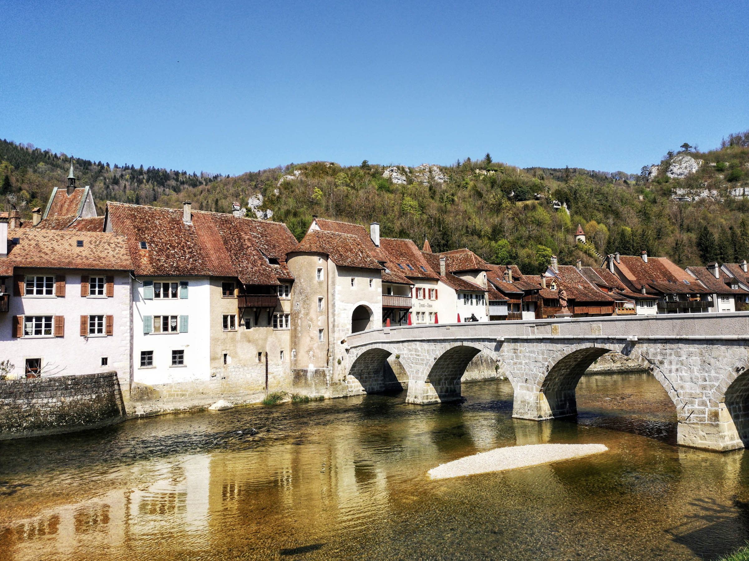
- The picturesque village of Saint Ursanne, which consists mainly of medieval edifices, burgher houses dating from the 14th through 16th century, and the impressive collegiate church that was built between the 12th and the 14th century.
- The peaceful shores of the river Doubs in the Doubs Regional Nature Park, where you are allowed to take a swim, but camping and cooking is only allowed on official camp sites.
- Étang de la Gruère, a dammed, but natural moor lake situated in a hollow on the highland plateau of the Jura (again: do not camp or cook/light fires in this nature reserve, but if you visit in winter skating is permitted at visitors’ own risk). The path around the lake invites you to discover its special flora and fauna.
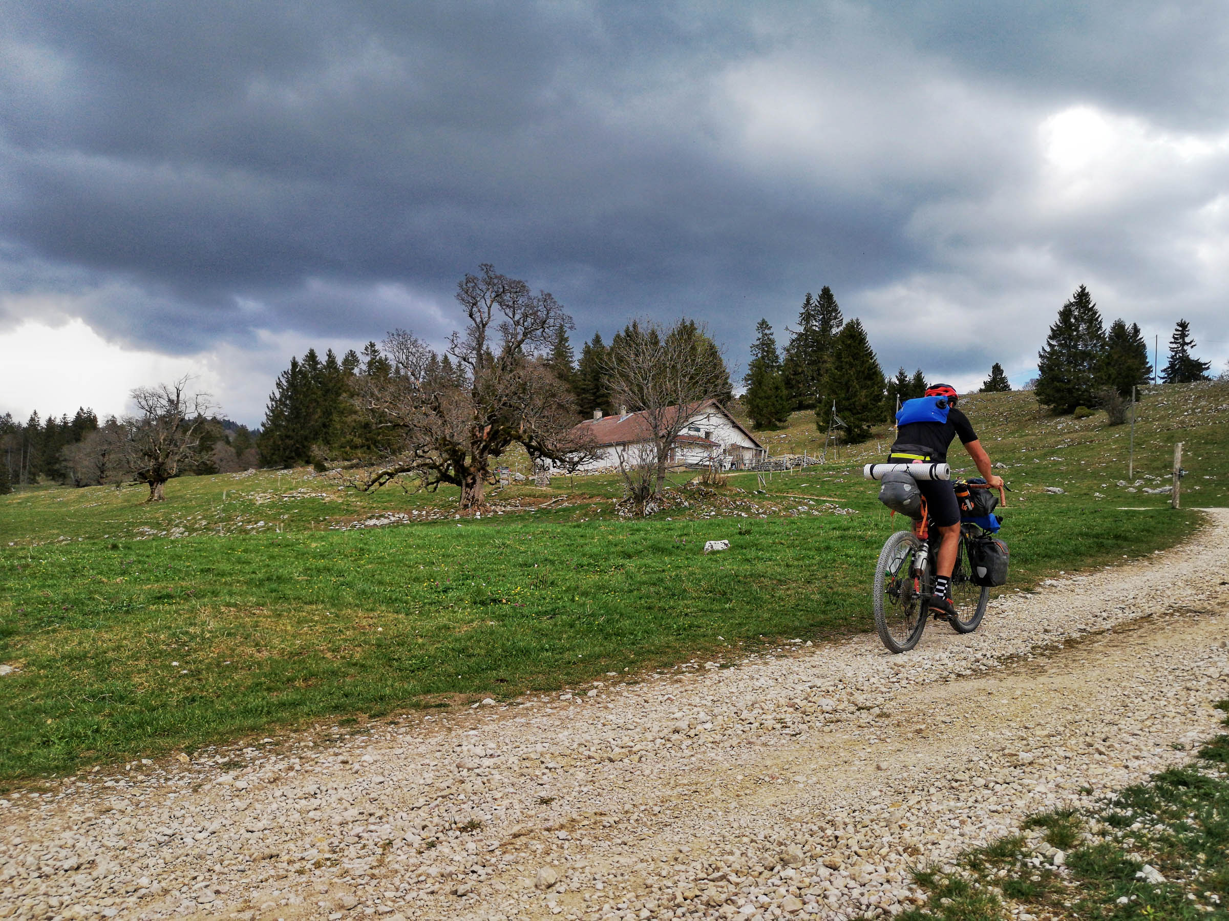
- Typical for this area are the numerous “Métairie”, some of which are centuries old, where you can usually get an inexpensive and hearty dish made from local ingredients. Note that they are open from beginning of May till the end of October.
- Make sure to try some of the region’s culinary highlights: Tête de Moine, literally monk’s head, is a cylindrical, smeared semi-hard, unpasteurised cheese. According to tradition, the cheese was used by the monks as currency back in the 12th century. Absinthe: An artists’ beverage par excellence, it inspired numerous poets who praised it extensively in their works. The anise-flavoured spirit attained a legendary status before it was prohibited in Switzerland in 1910, accused of making its consumers go crazy. Beers from the Brasserie des Franches-Montagnes (BFM), which is a small, artisanal brewery in Saignelégier. The brewery is known for using unorthodox ingredients and making beer that strays from traditional styles.
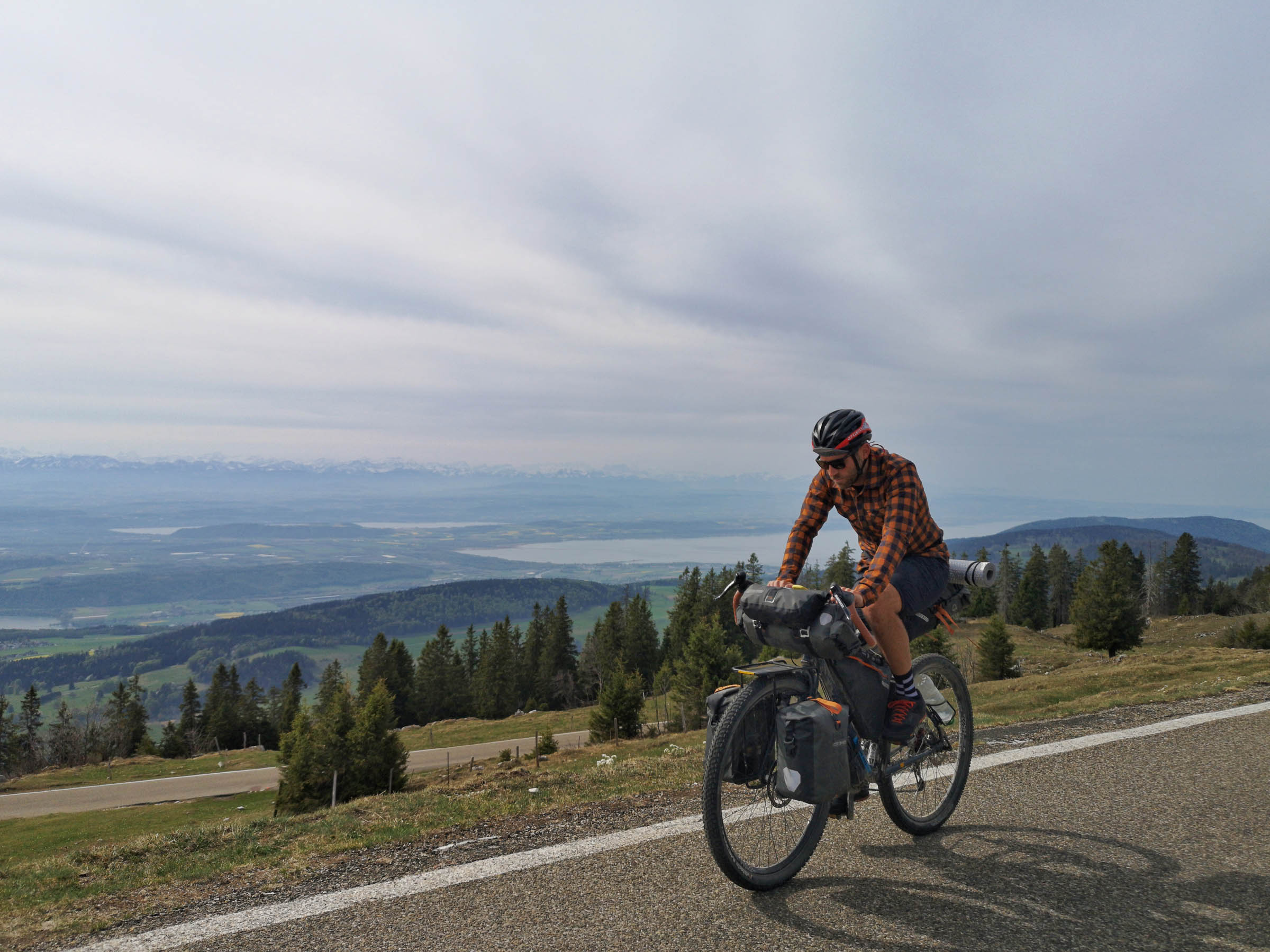
- After the second major climb you reach a plateau at a height of 1200m above sea level. What follows is a beautiful 14km long gravel section with spectacular views to the south where you’ll be able to spot some of the highest peaks of the Swiss Alps.
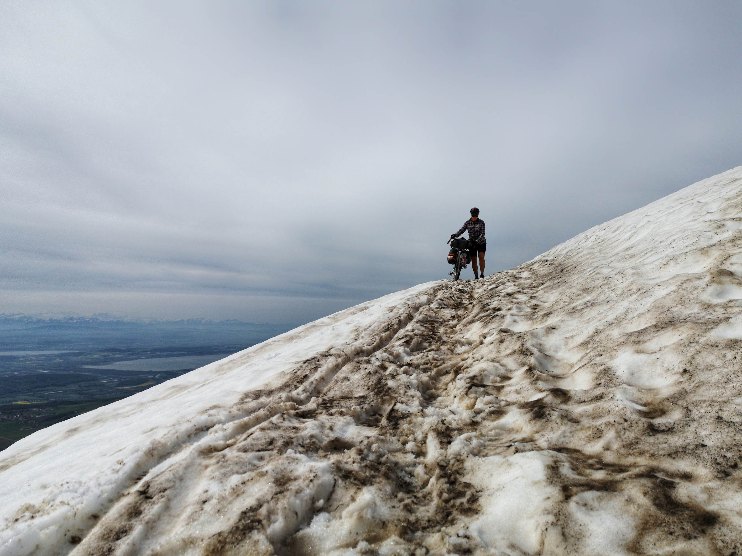
- When to go: this route is rideable from March to October. It is the perfect Easter get-away when there is still too much snow in the Alps, but is also really nice in hot summer months and during fall, when the trees change their colours.
- Logistics: in terms of logistics the route doesn’t require a lot of special planning. We suggest public transportation to get to the town of Biel/Bienne, where the route starts and ends, because it is easily reachable from all over Switzerland and carrying bicycles in trains is allowed – you’ll just have to get a ticket for your bike as well.
- Travel basics: Switzerland is very well connected to the rest of the world and it is easy to get into the country by plane, train or private transportation. However, if you are not from an European country, you need a Schengen Visa.
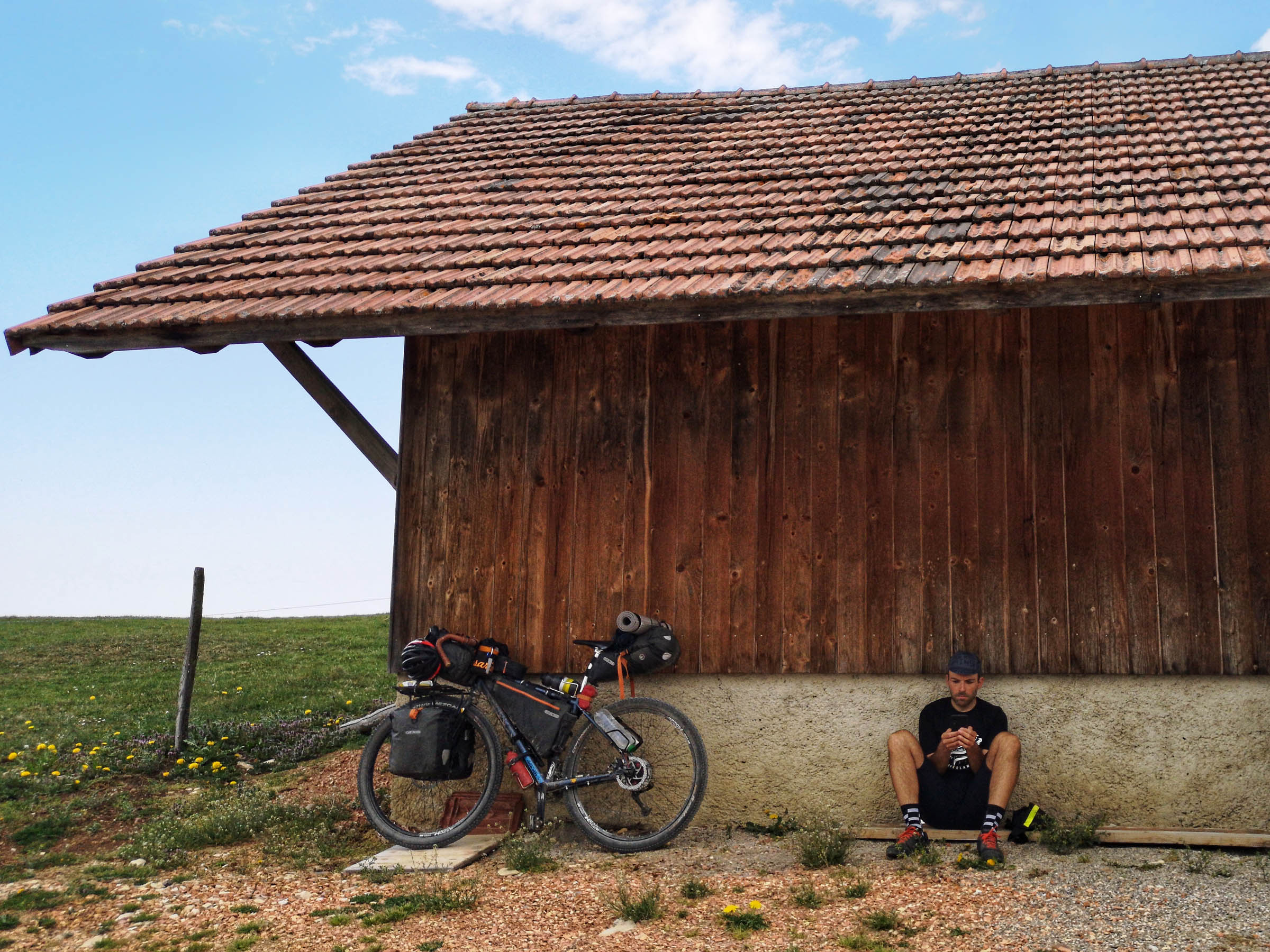
- The Bike: Overall the gravel roads of the route are pretty easy to ride and although there are some rougher sections where you might even have to push your bike you don’t need plus size tires to enjoy the riding. We suggest at least 45mm, we did it with 2.1 tires. Just make sure to bring some easy gearing.
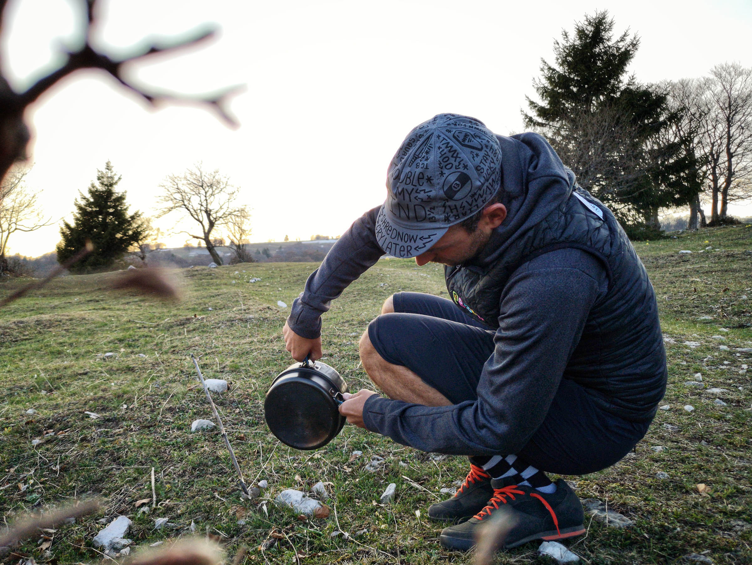
- Since wild camping laws vary greatly from community to community, it is best to ask locals you meet along the way. In general, finding a camp spot for one night should not be a problem. In nature reserves, where it is forbidden, signs draw attention to it, and the next official campsite is usually not far away
- An overnight stay on an official campsite for two people in a tent costs about 15-20 Swiss Francs, including hot showers.
- If you are staying overnight on a private property (also agricultural land), we advise you to visit the owner and ask for permission. Most likely they will say yes and ask you if you need anything else (e.g. water or products from the farm).
- There are a B&Bs all over the Jura and hotels in bigger towns as well as other lodging options along the route.
- As everywhere when you are in nature, leave no trace and carry your garbage to the next public trash can.
- Resupply is generally not a big issue on this route, as you pass numerous small villages, which usually have small shops (épicerie, fromagerie or farm shops). Pay attention to opening hours (generally shops in Switzerland are closed on Sundays).
- In early spring and late fall you hardly find any fresh water in elevated areas in the Jura mountain range. So if you plan to spend the night on a mountain top, you may have to carry the necessary water up from the valley. As soon as herds of cattle are in the pastures (May – September), it is possible to help yourself to their watering places. But be sure to bring a good water filter.
Additional Resources
- j3l.ch/en the official tourism website of the Jura region
- www.bnb.ch offers an overview of private run Bed and Breakfasts all over Switzerland
- schweizmobil.ch recommended app for outdoor activities such as hiking, biking, cycling, etc. in Switzerland
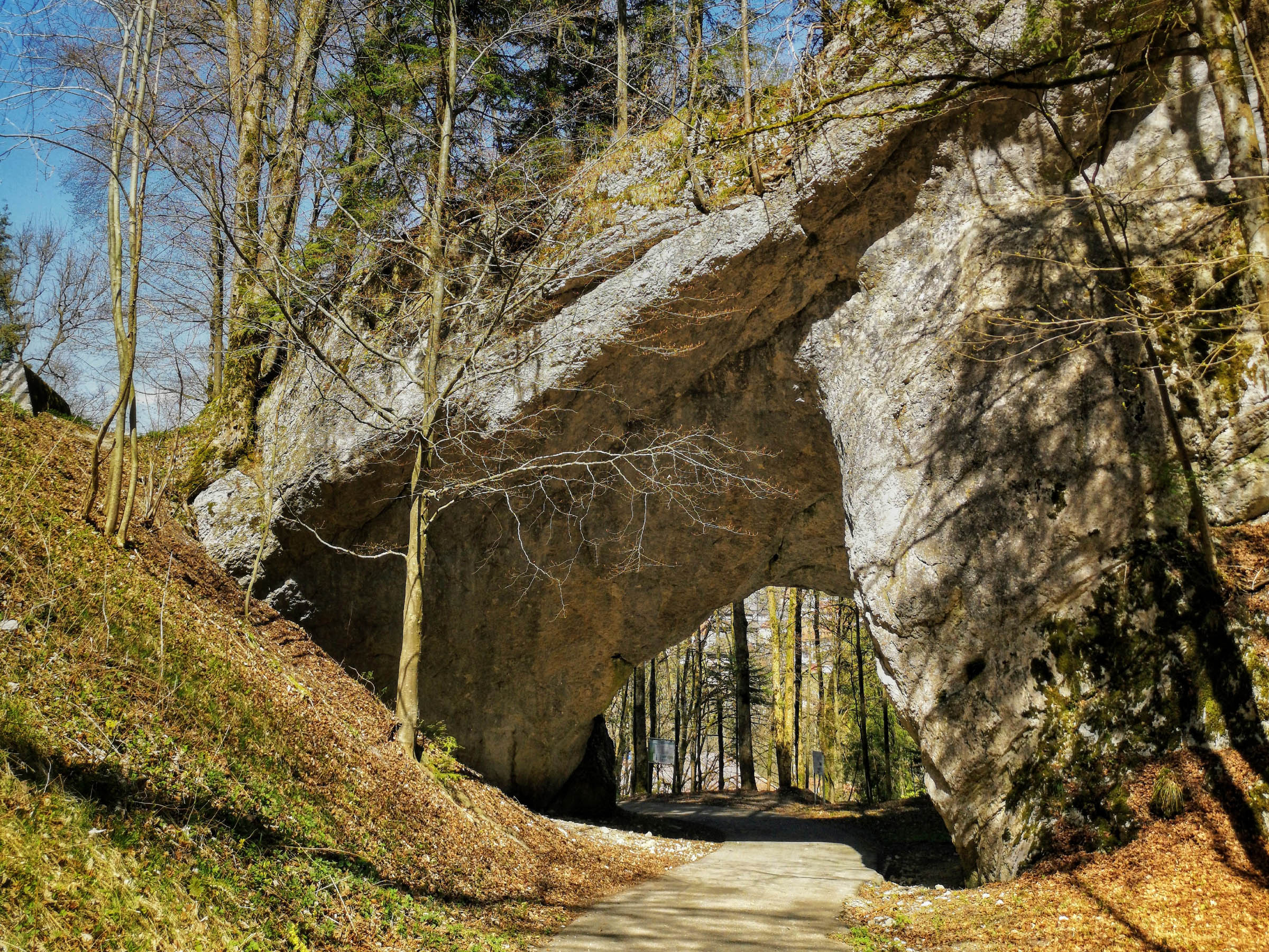
- If you want to extend the route: Include an additional loop via the “Creux du Van”, a natural rock arena of immense proportions. Impressive 160 meter high vertical rock faces surround a four kilometer long and over one kilometer wide valley basin.


Terms of Use: As with each bikepacking route guide published on BIKEPACKING.com, should you choose to cycle this route, do so at your own risk. Prior to setting out check current local weather, conditions, and land/road closures. While riding, obey all public and private land use restrictions and rules, carry proper safety and navigational equipment, and of course, follow the #leavenotrace guidelines. The information found herein is simply a planning resource to be used as a point of inspiration in conjunction with your own due-diligence. In spite of the fact that this route, associated GPS track (GPX and maps), and all route guidelines were prepared under diligent research by the specified contributor and/or contributors, the accuracy of such and judgement of the author is not guaranteed. BIKEPACKING.com LLC, its partners, associates, and contributors are in no way liable for personal injury, damage to personal property, or any other such situation that might happen to individual riders cycling or following this route.
Please keep the conversation civil, constructive, and inclusive, or your comment will be removed.