


Ruta Toro Toro, Bolivia
Distance
250 Mi.
(402 KM)Days
8
% Unpaved
95%
% Singletrack
1%
% Rideable (time)
98%
Total Ascent
41,272'
(12,580 M)High Point
13,000'
(3,962 M)Difficulty (1-10)
8?
- 10Climbing Scale Very Strenuous165 FT/MI (31 M/KM)
- -Technical Difficulty
- -Physical Demand
- -Resupply & Logistics
Contributed By

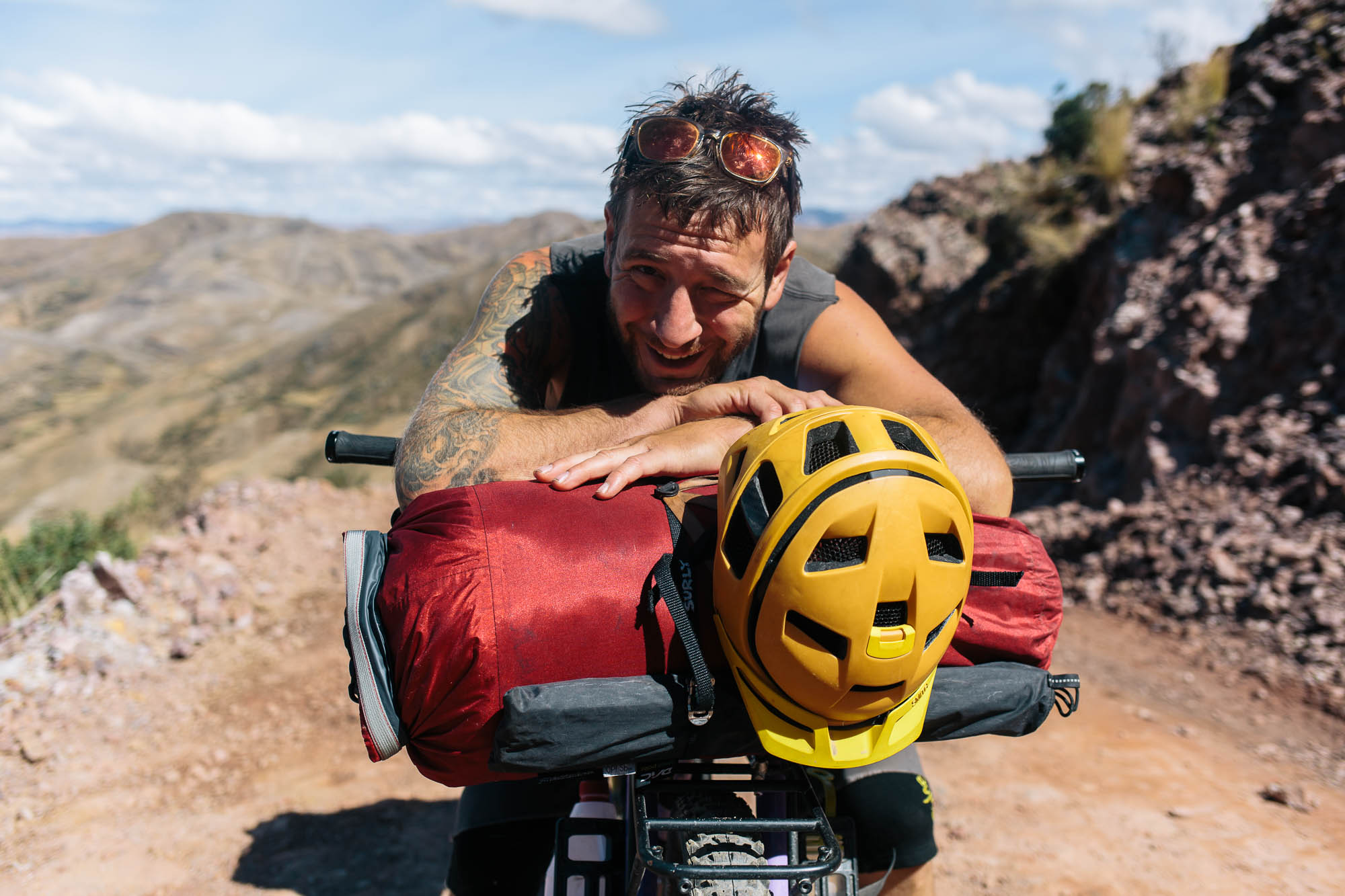
Cass Gilbert
While Out Riding
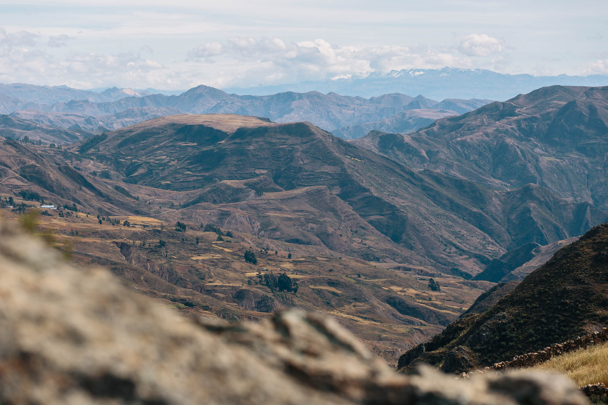
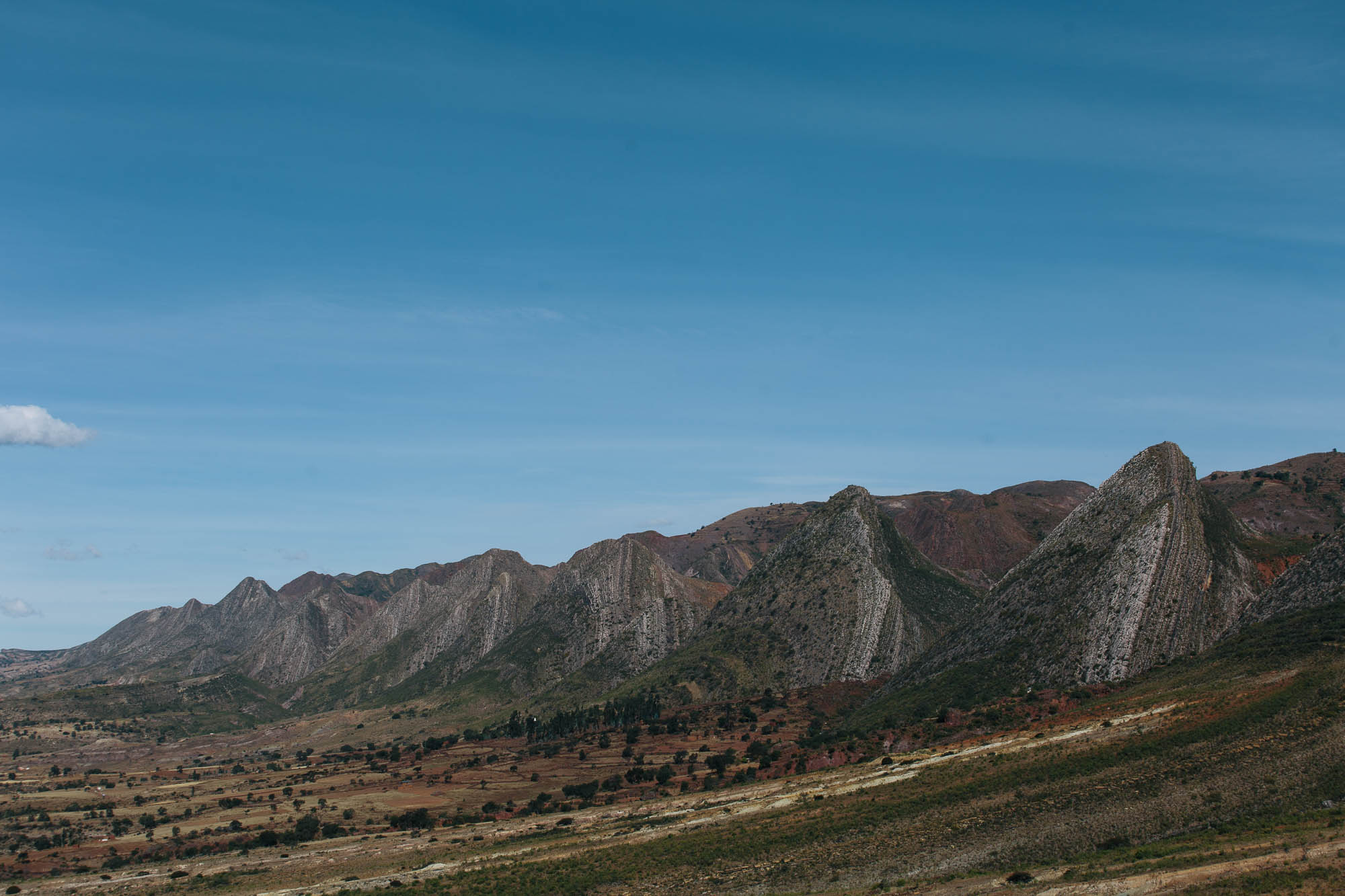
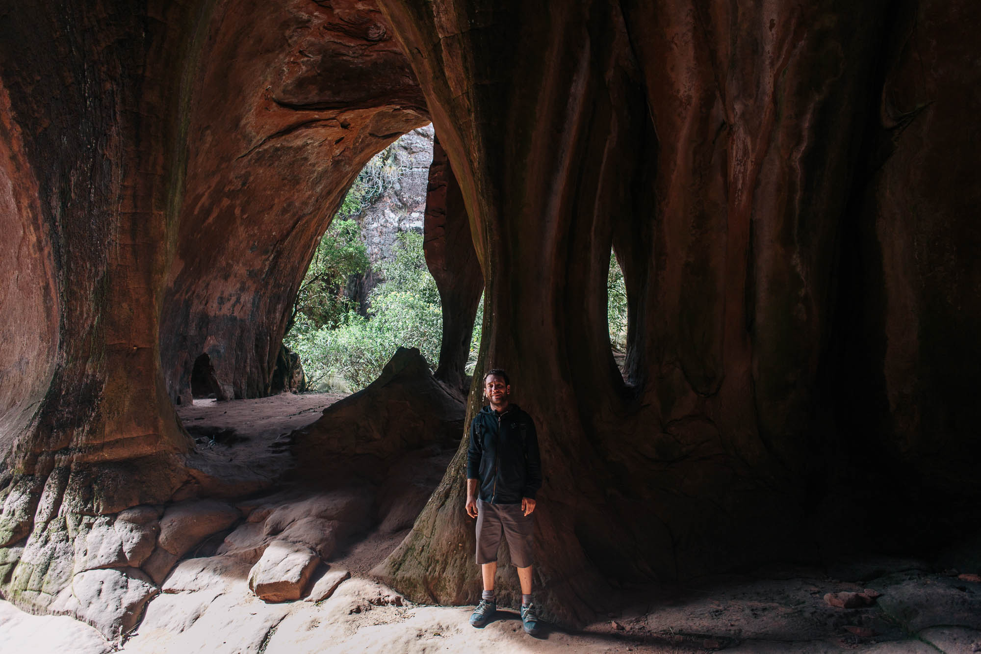
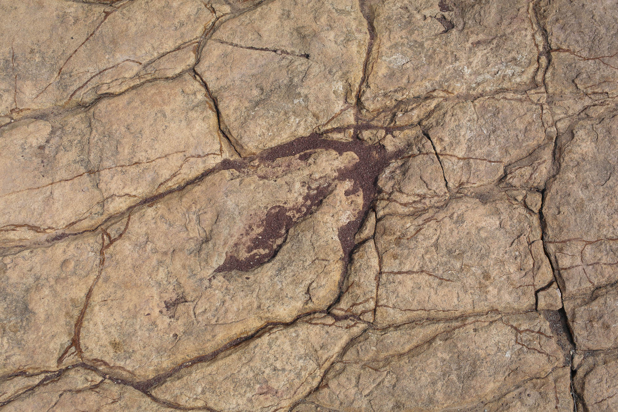
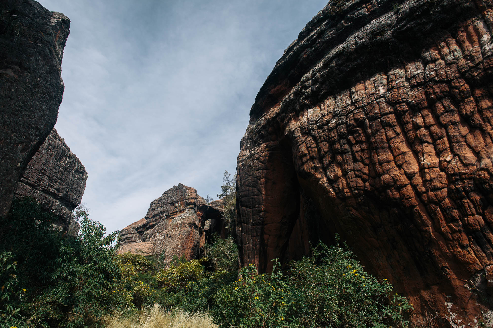
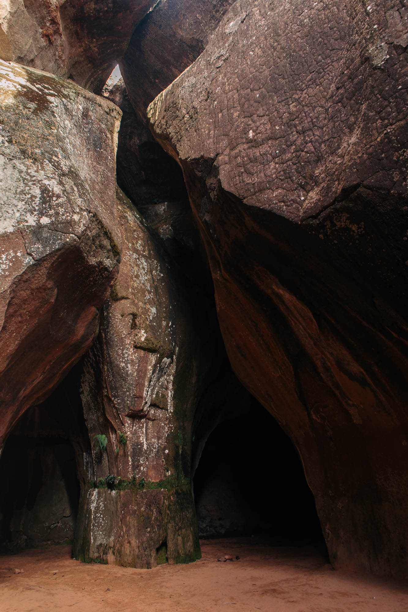
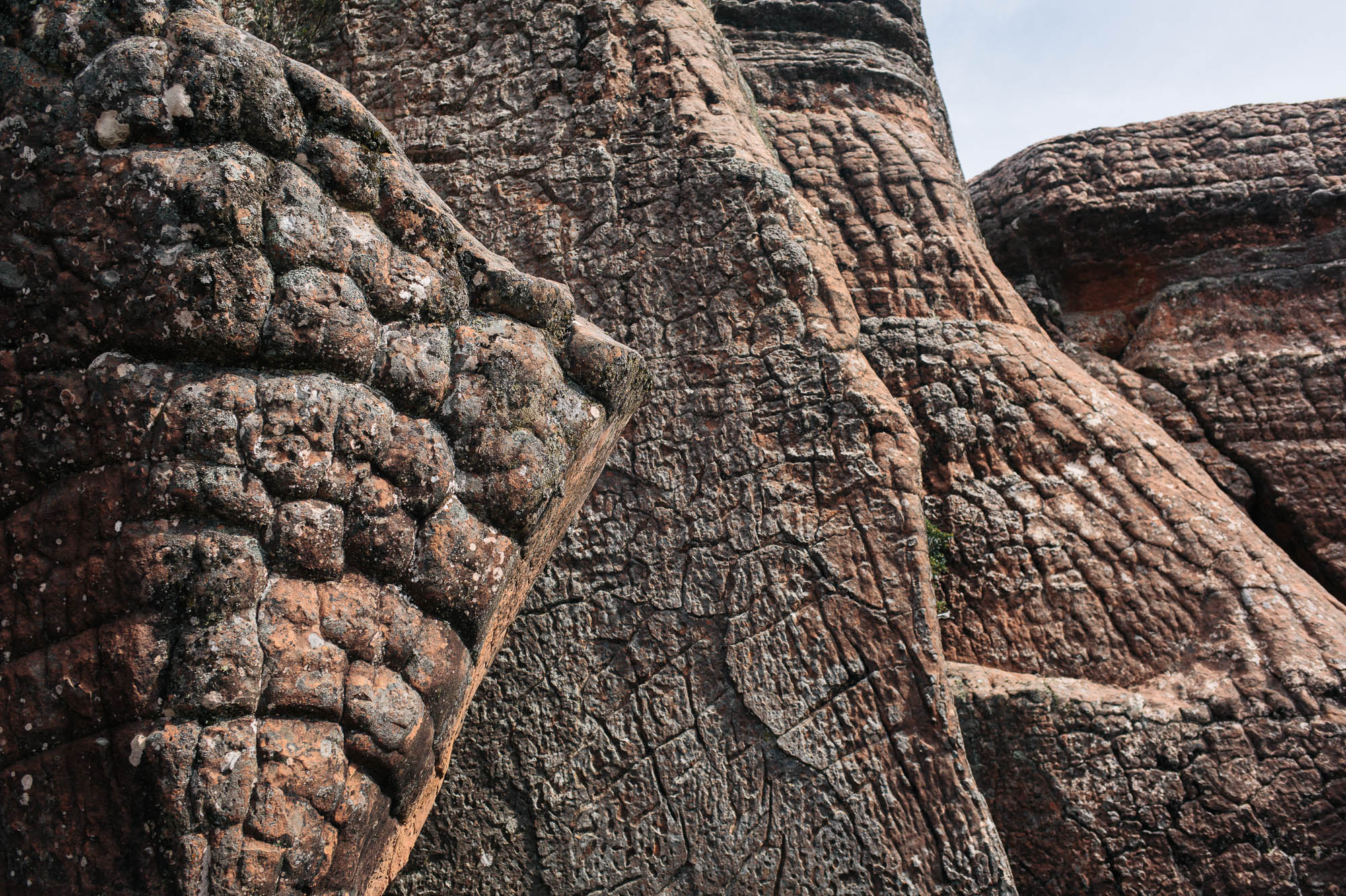
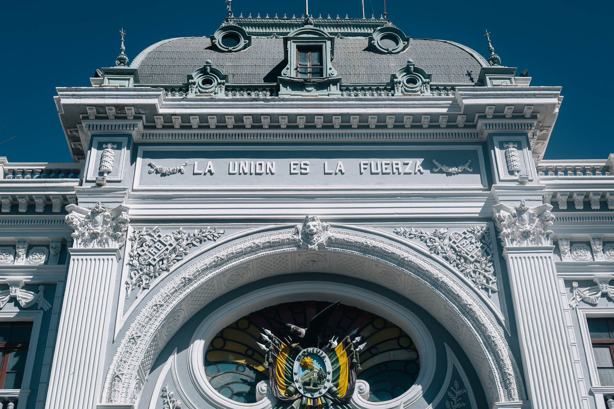
The Toro Toro National National Park is one of Bolivia’s lesser visited protected areas and lies almost equidistant between Cochabamba and Sucre, making it the perfect pit stop for those riding between the two cities. Geology buffs will be in heaven; buckled ridges soar skyward and caves burrow deep into the earth. In fact, the area’s classic cave tour involves contorting your way through various natural portholes, amongst stalactites, stalagmites, and waterfalls. Although the dinosaur theme is a little overplayed in town, the dino prints themselves are wonderful to see, while the park itself is packed with bizarre rock formations harbouring microclimates that teem with a variety of plantlife. It’s well worth a day or two to explore, not least to rest your legs for the riding on either side of the park.
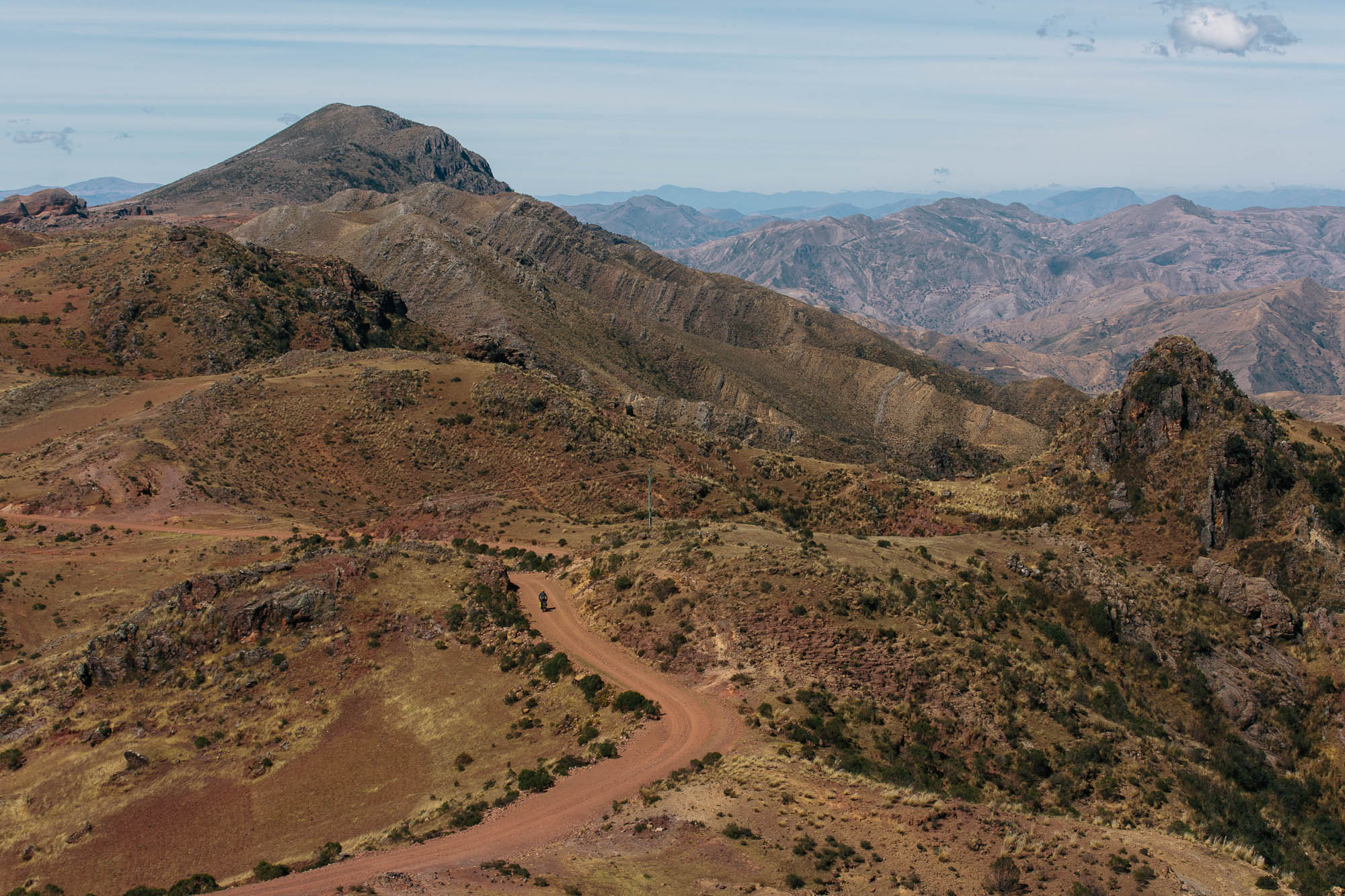
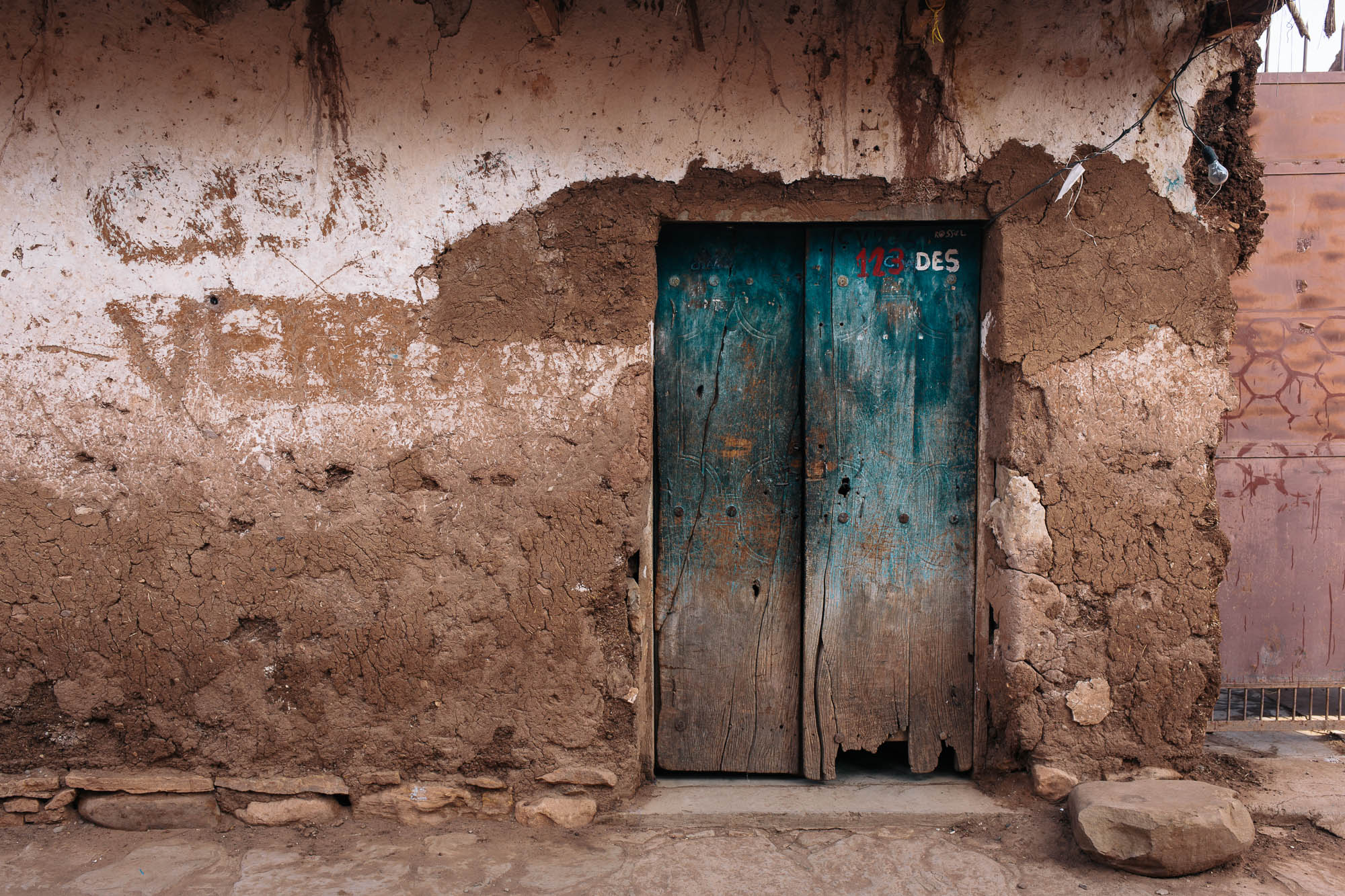
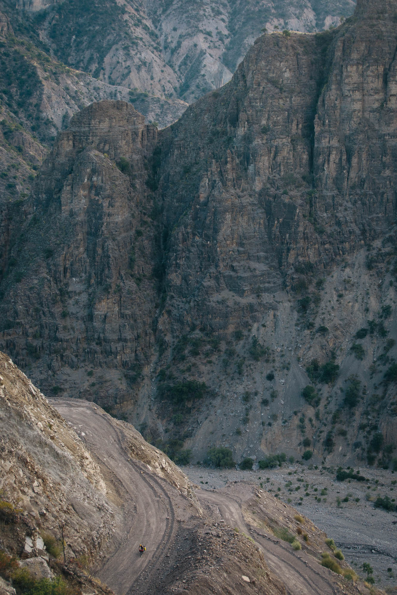
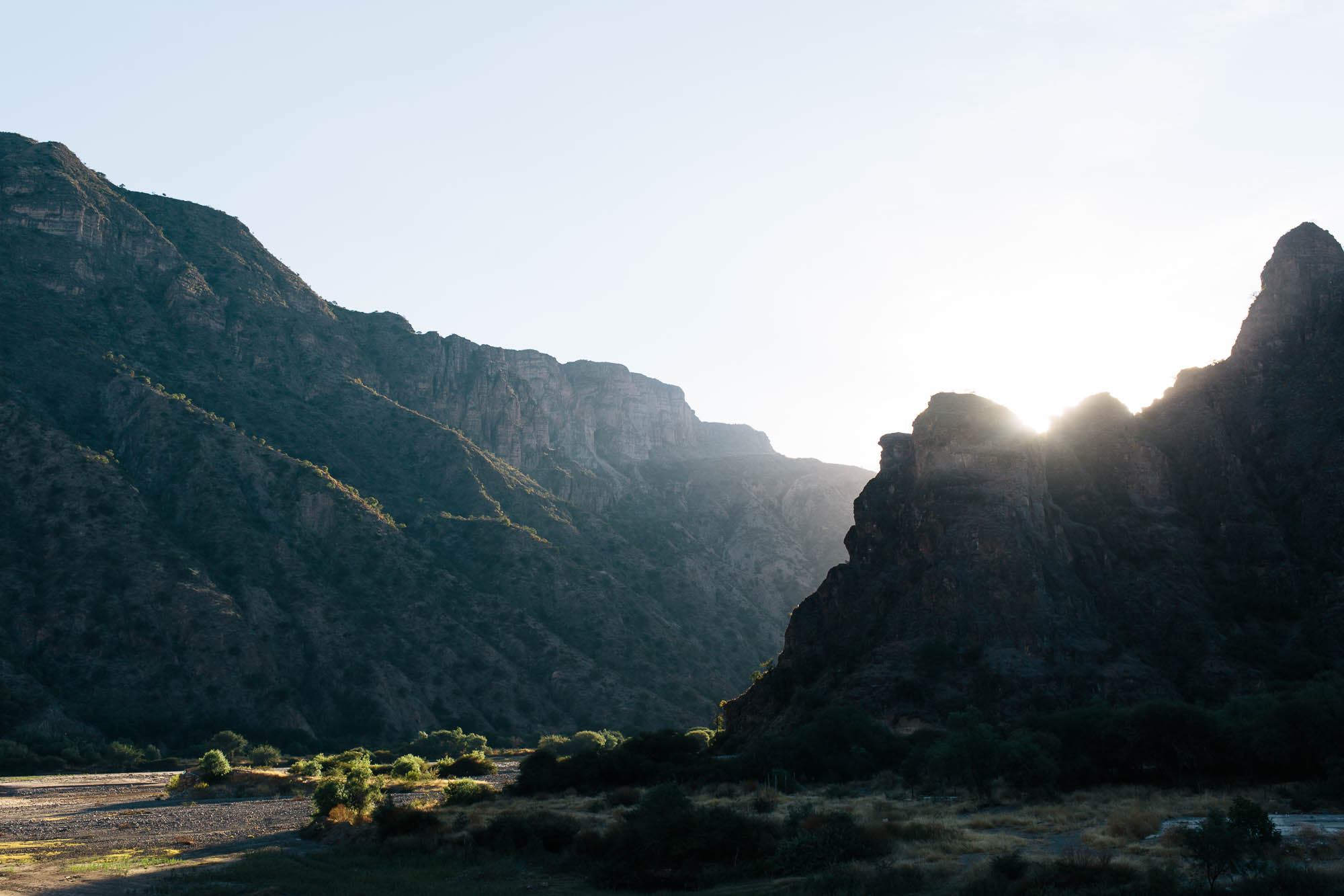
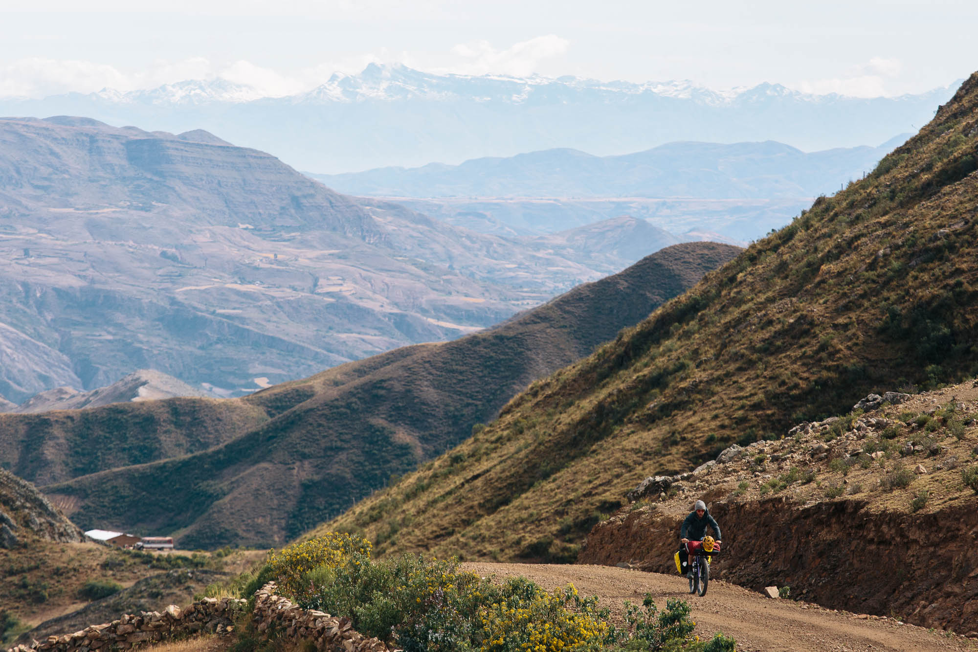
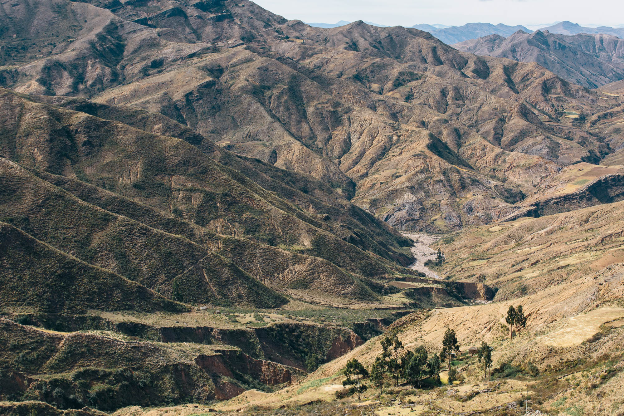
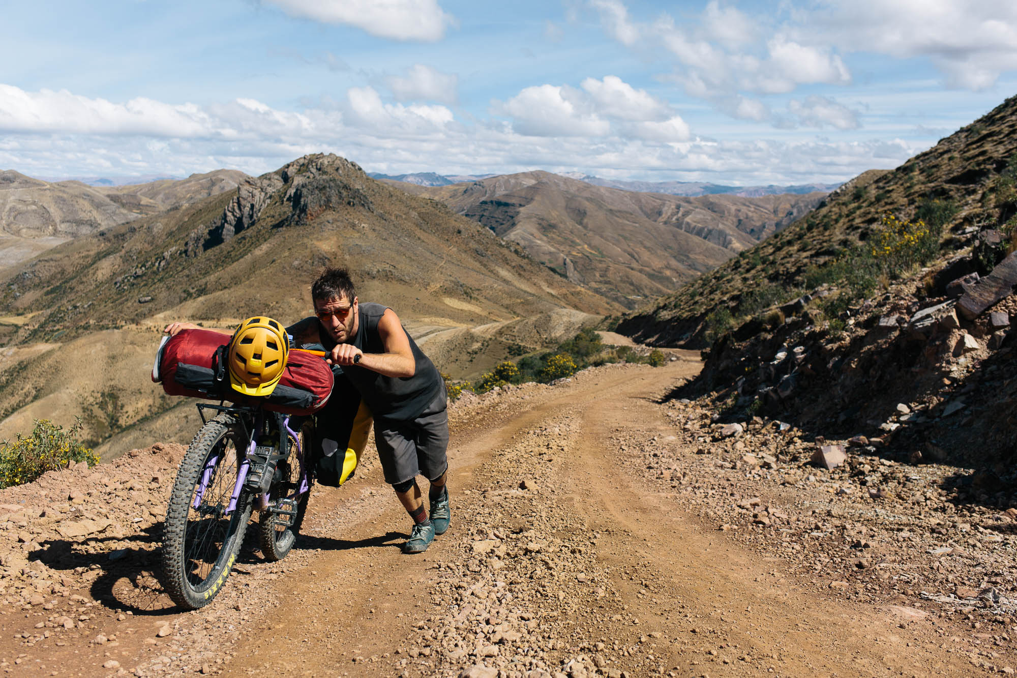
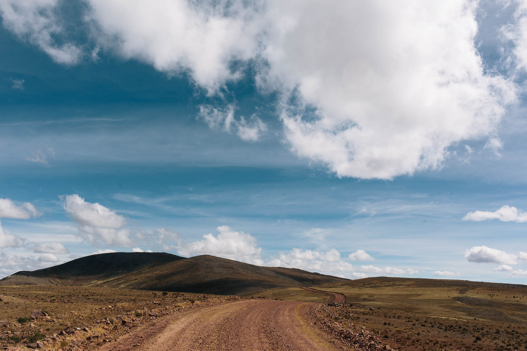
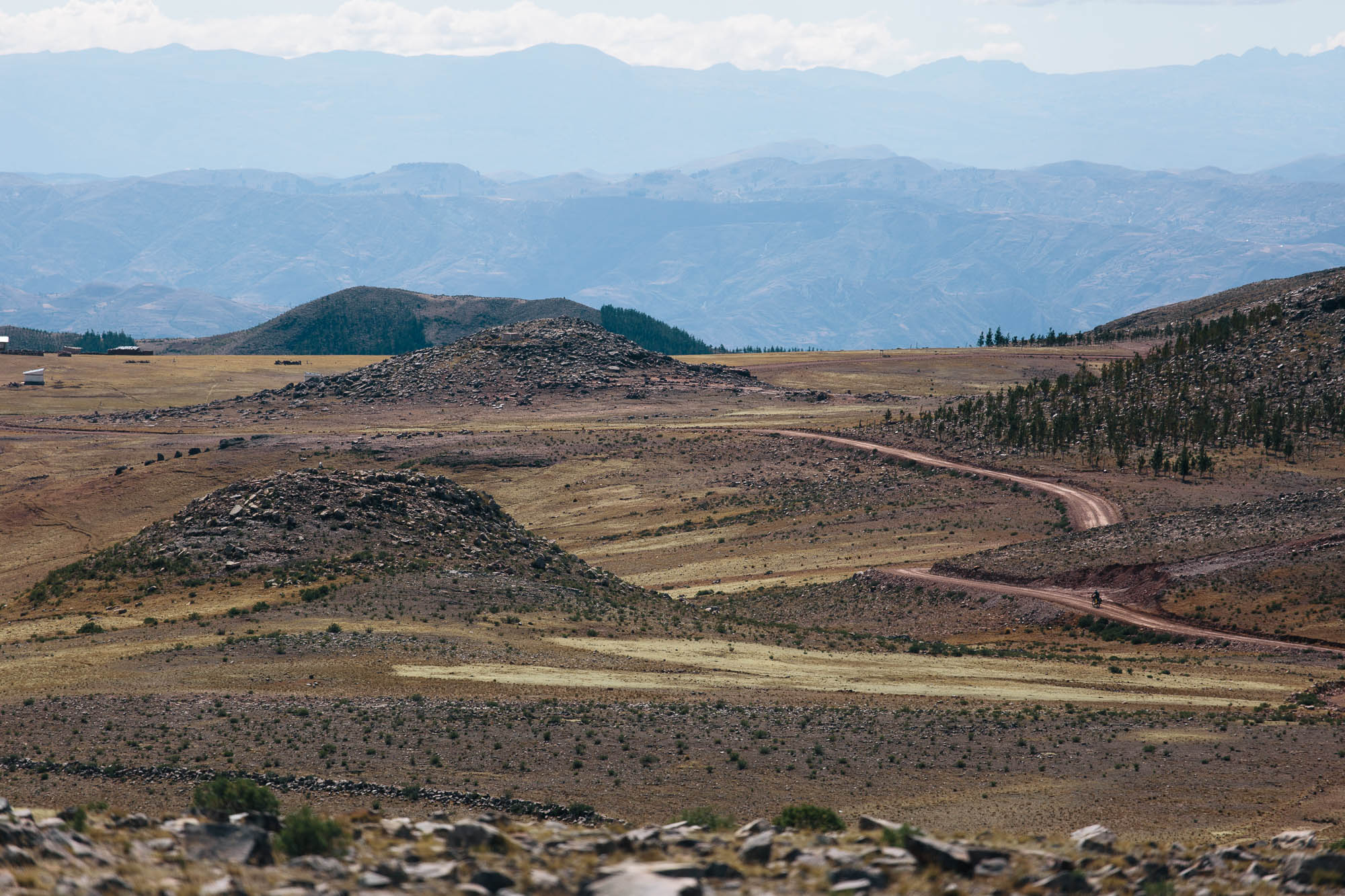
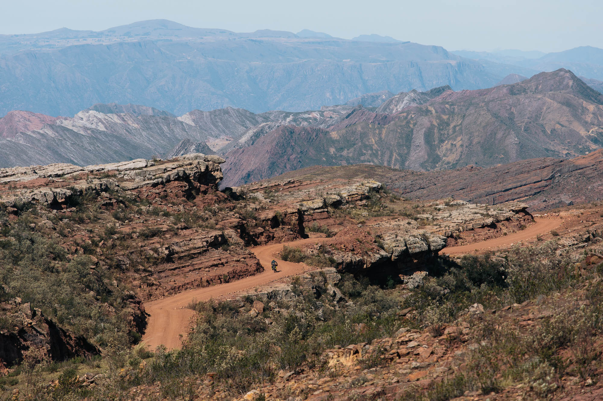
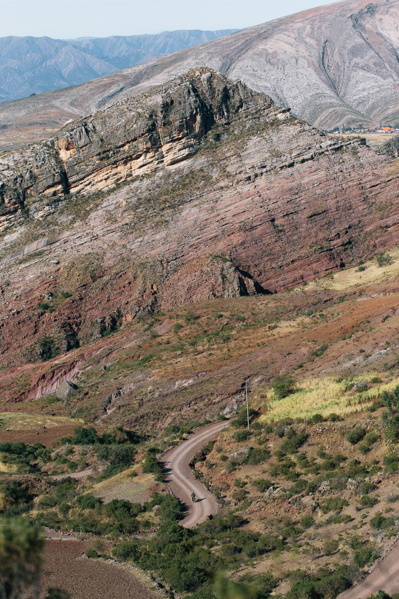
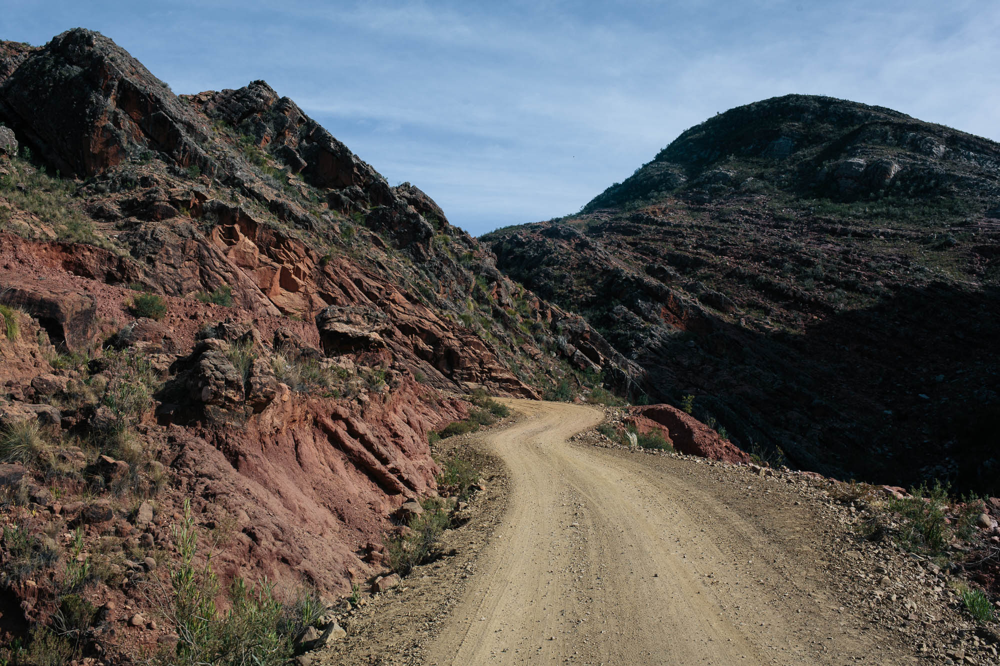
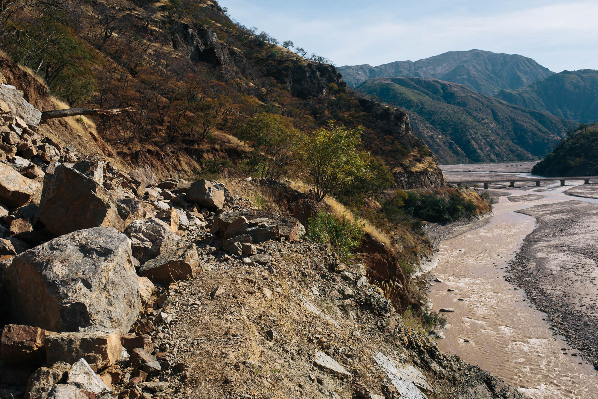
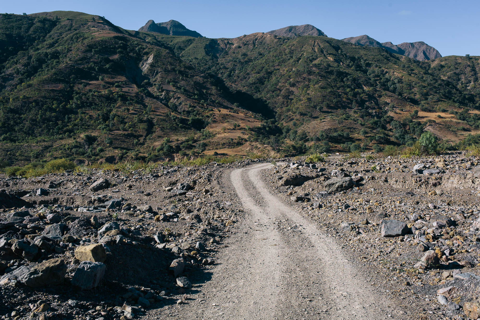
Because first you’ll need to get there, which is no easy feat. This route takes a lesser travelled choice of dirt roads. It loops round to the south-west to avoid the main access to the park, which is dusty, cobbled, and in the process of being resurfaced. Instead, it heads towards the small mountain communities of Itza, Acacio, and Churitica for complete immersion in the Andean foothills and its villages. Terrain is unapologetically rugged. Expect one tightly interlocking valley after another, along with typically long climbs and descents that divide them.
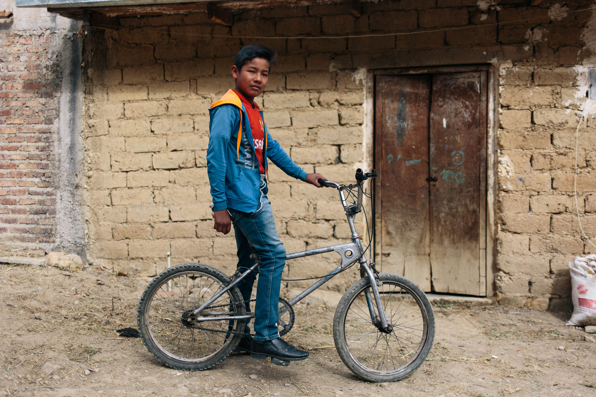
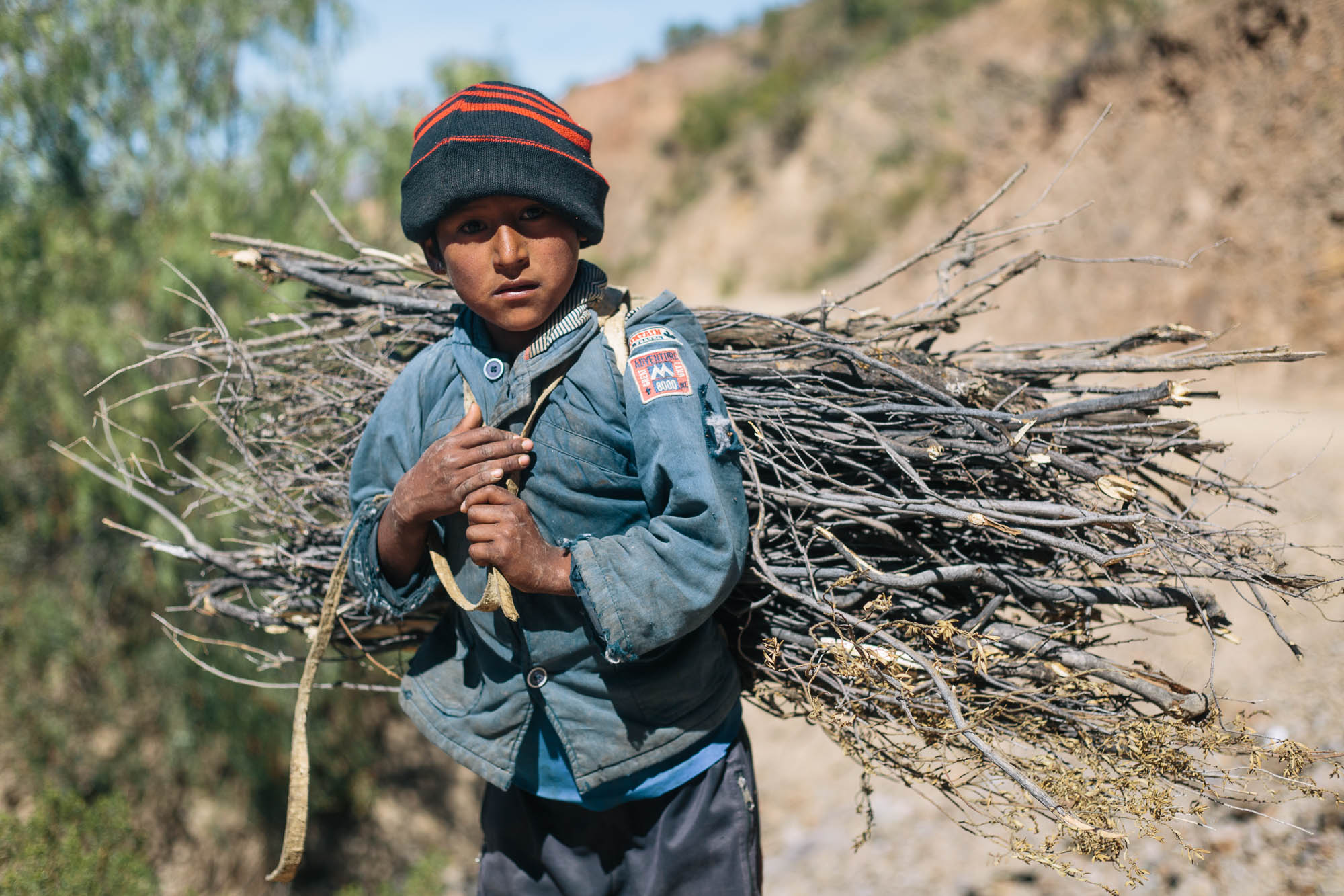
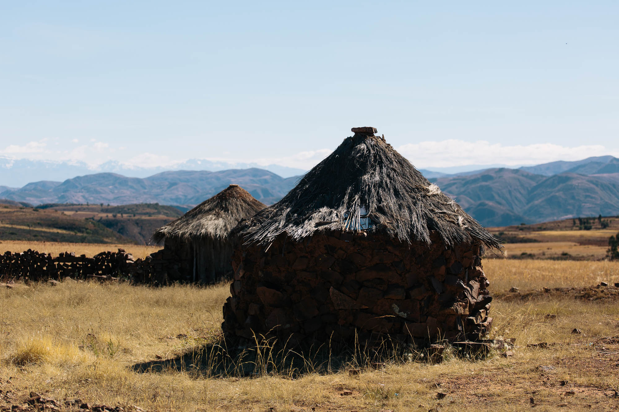
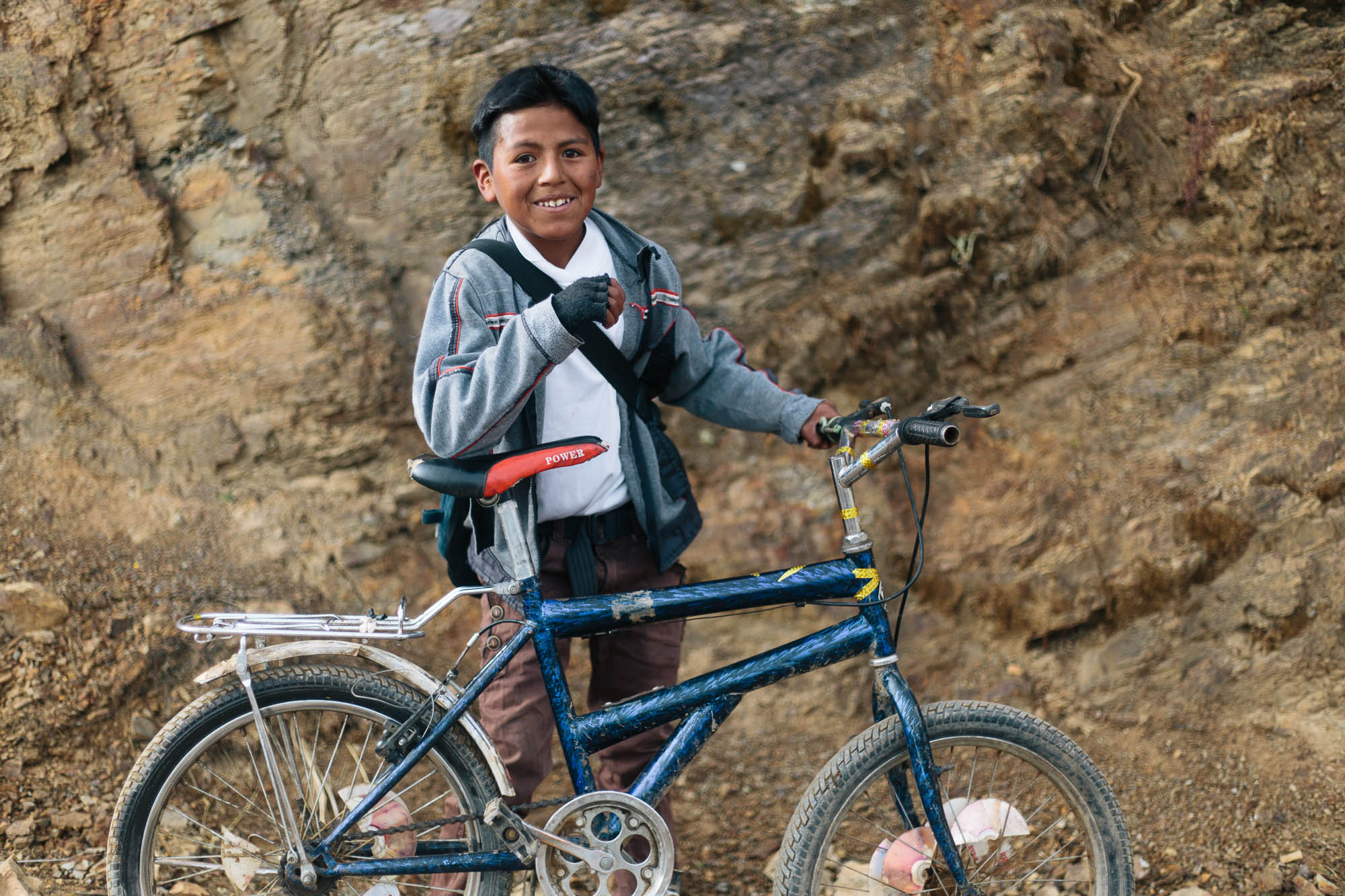
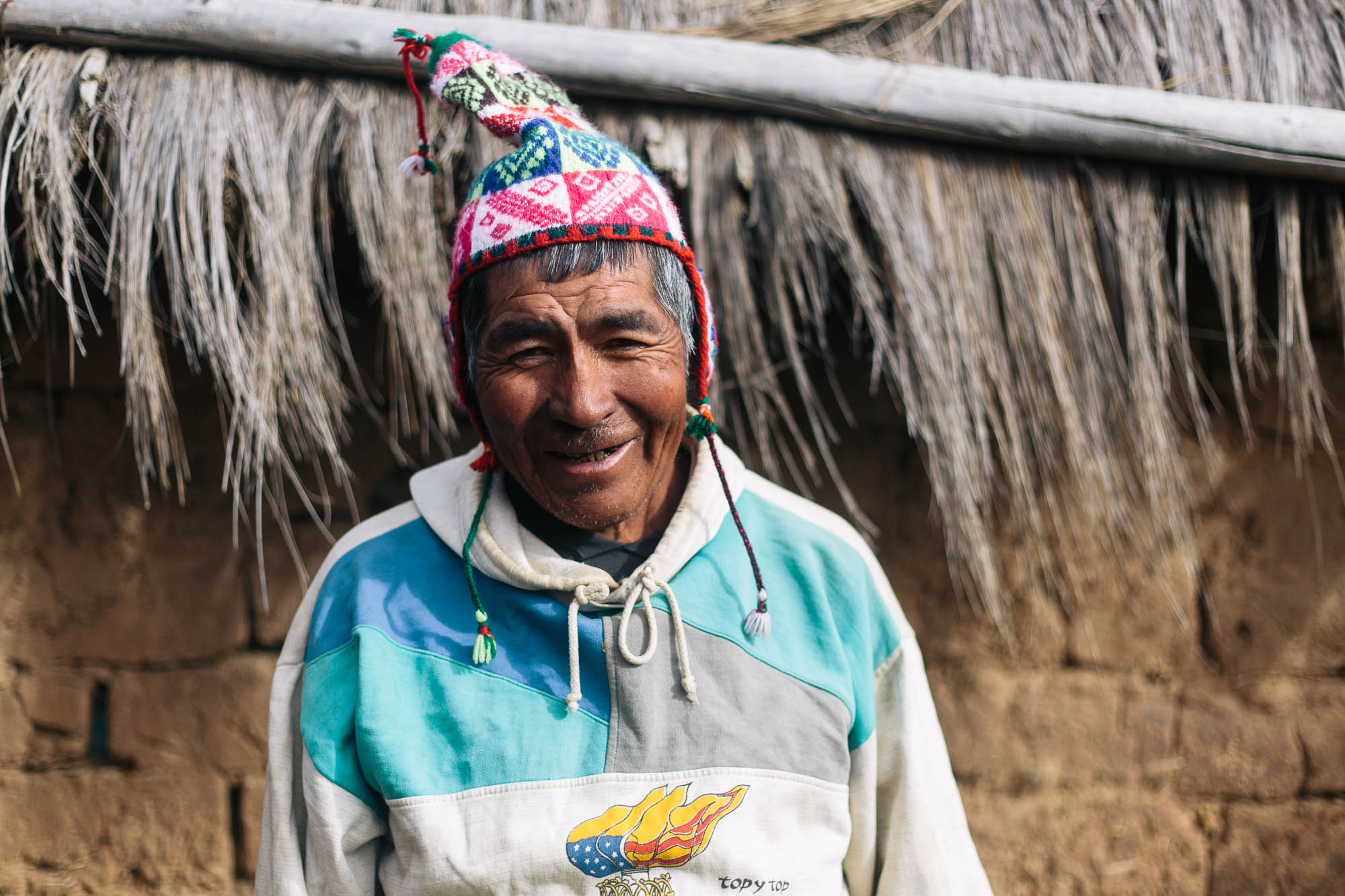
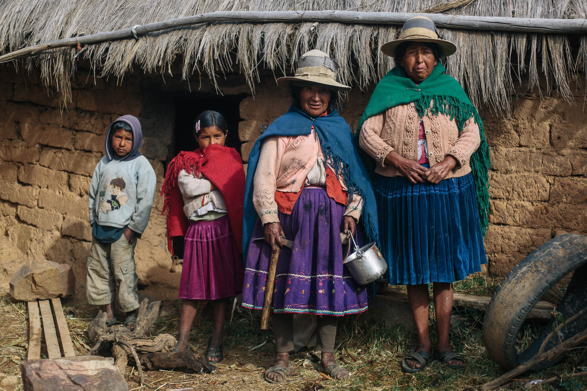
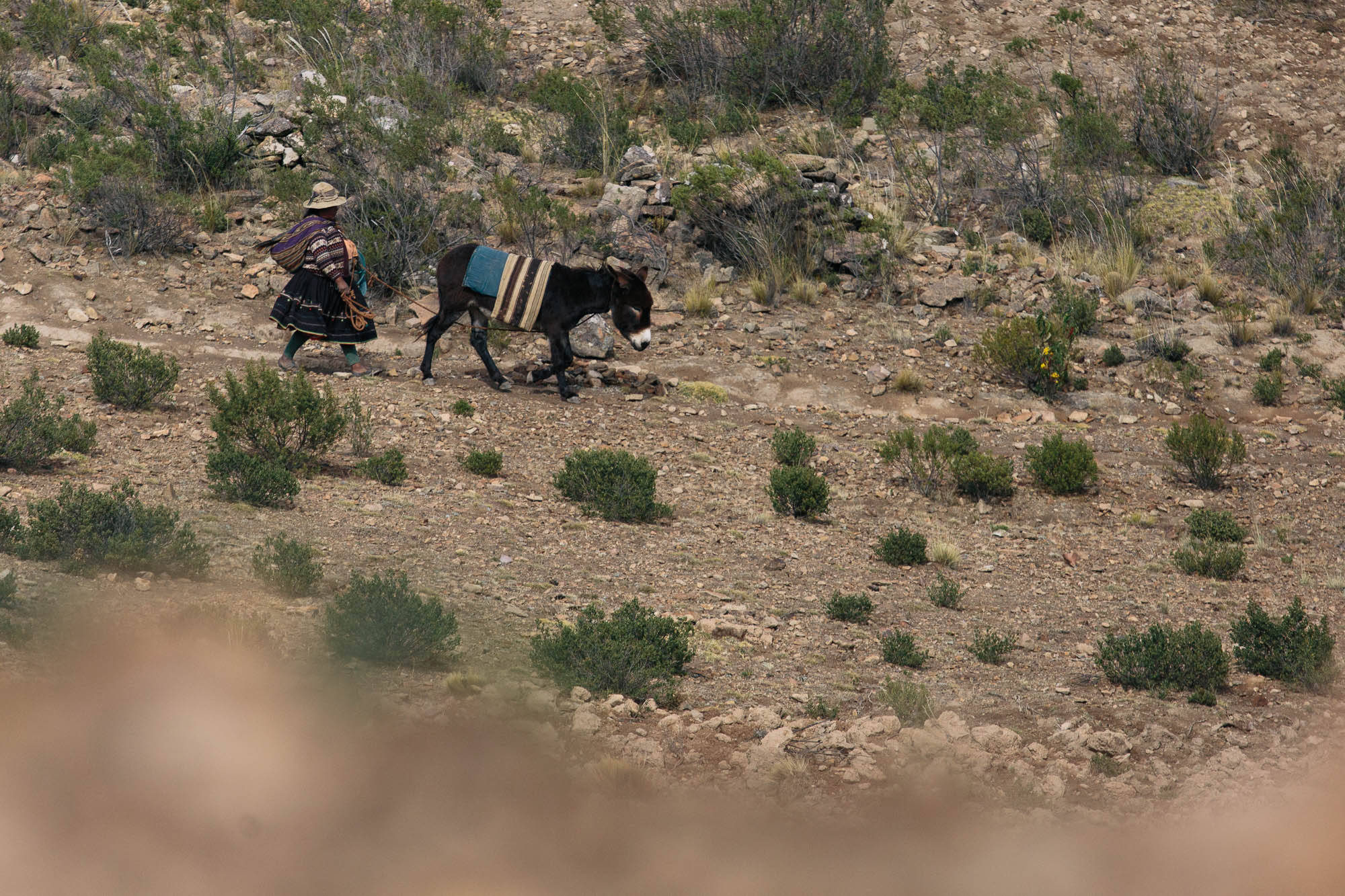
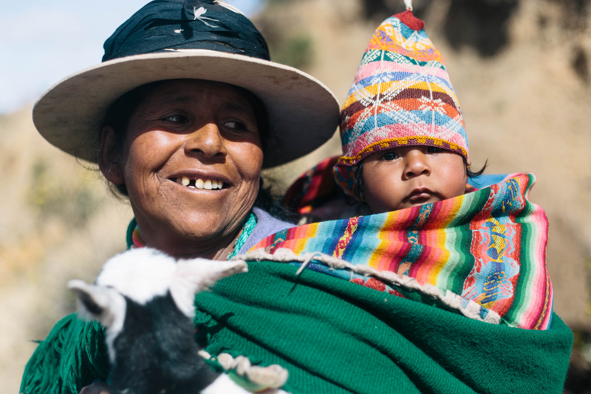
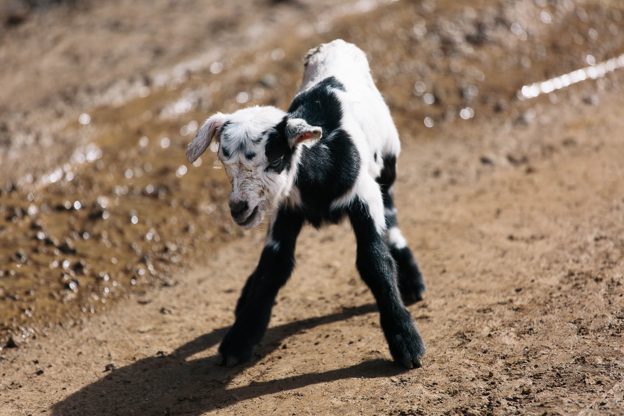
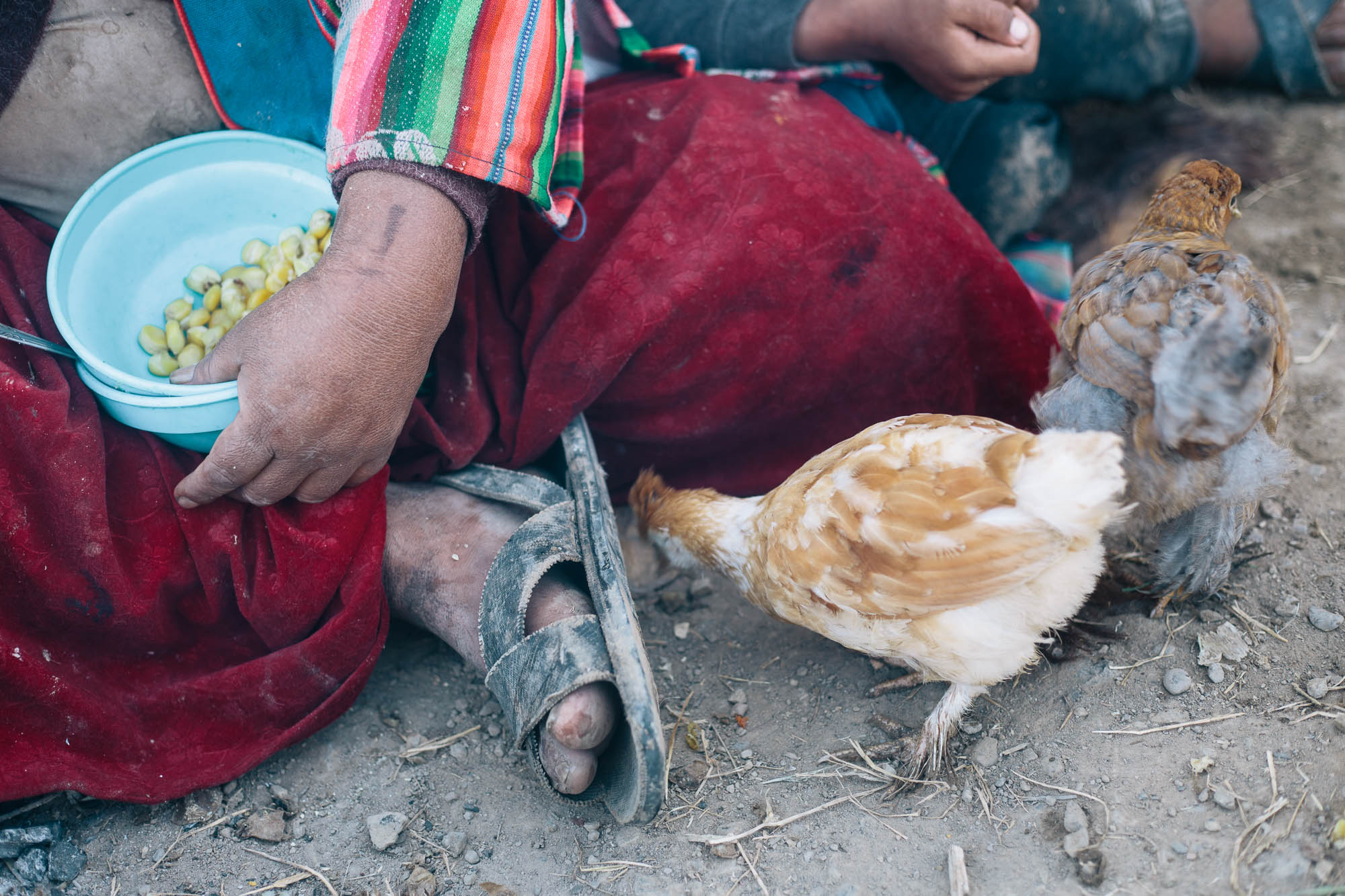
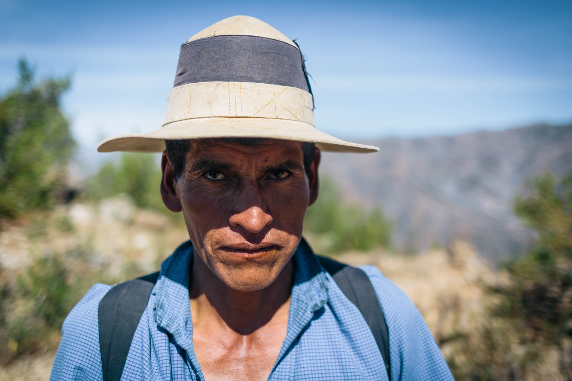
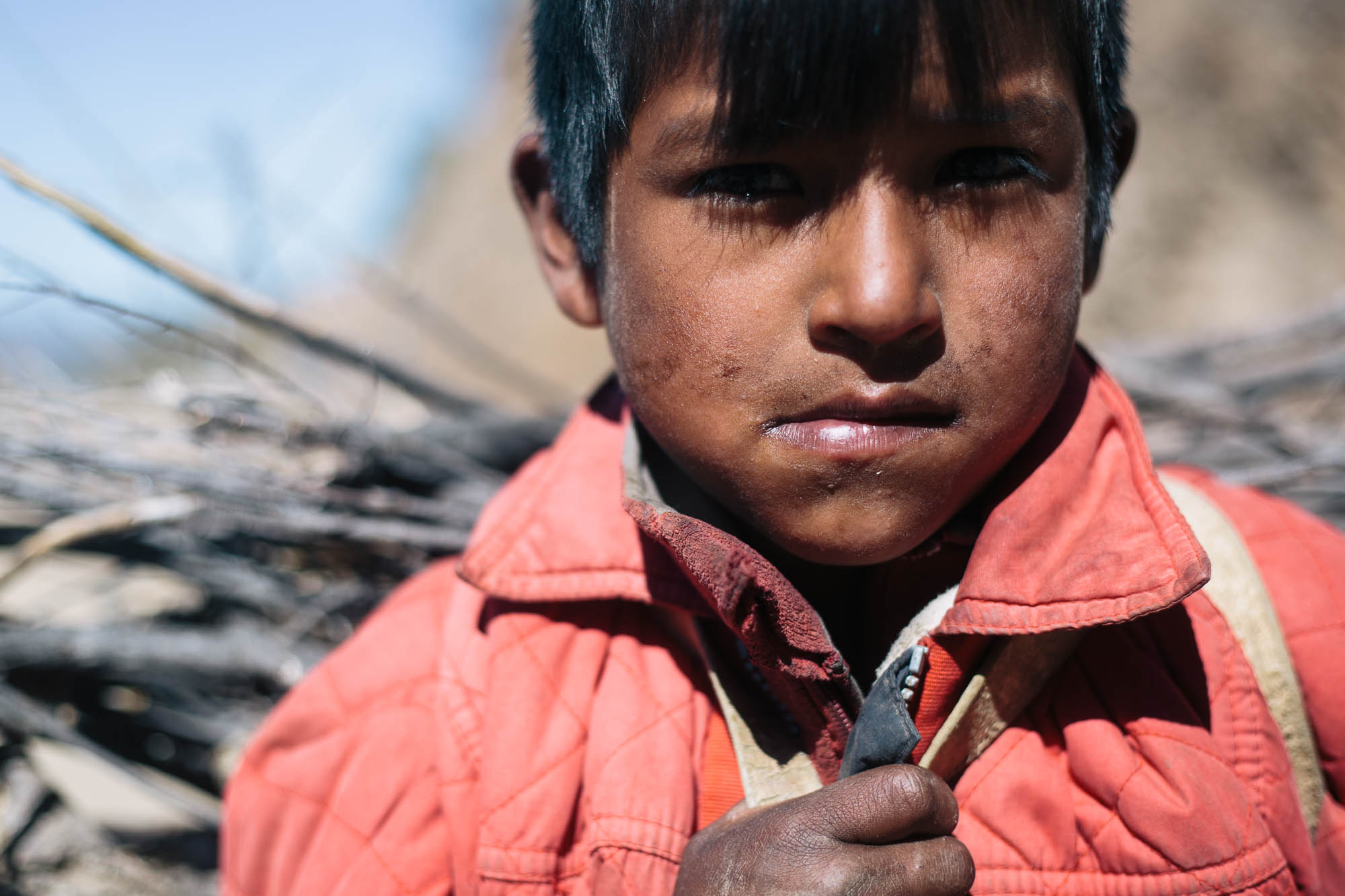
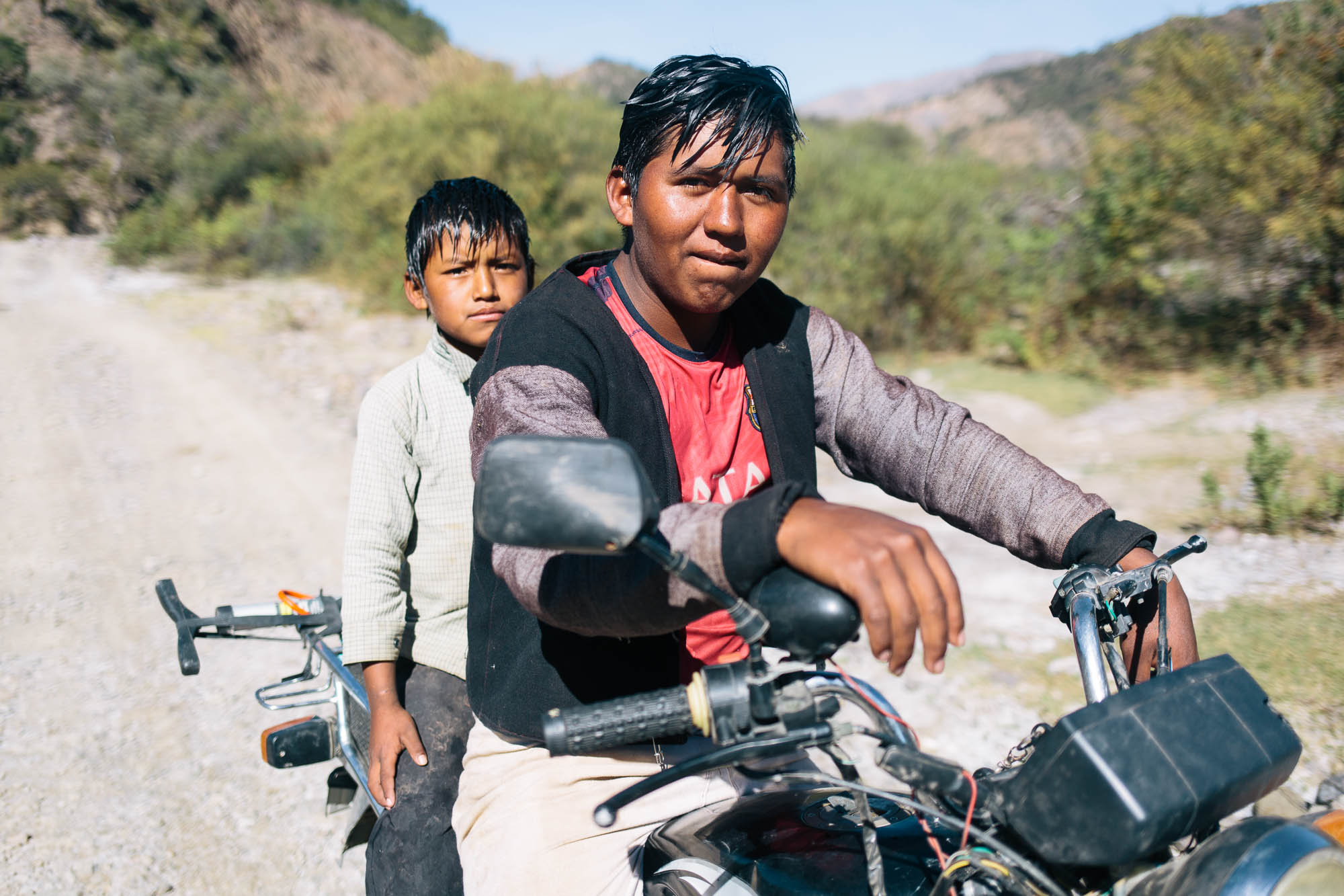
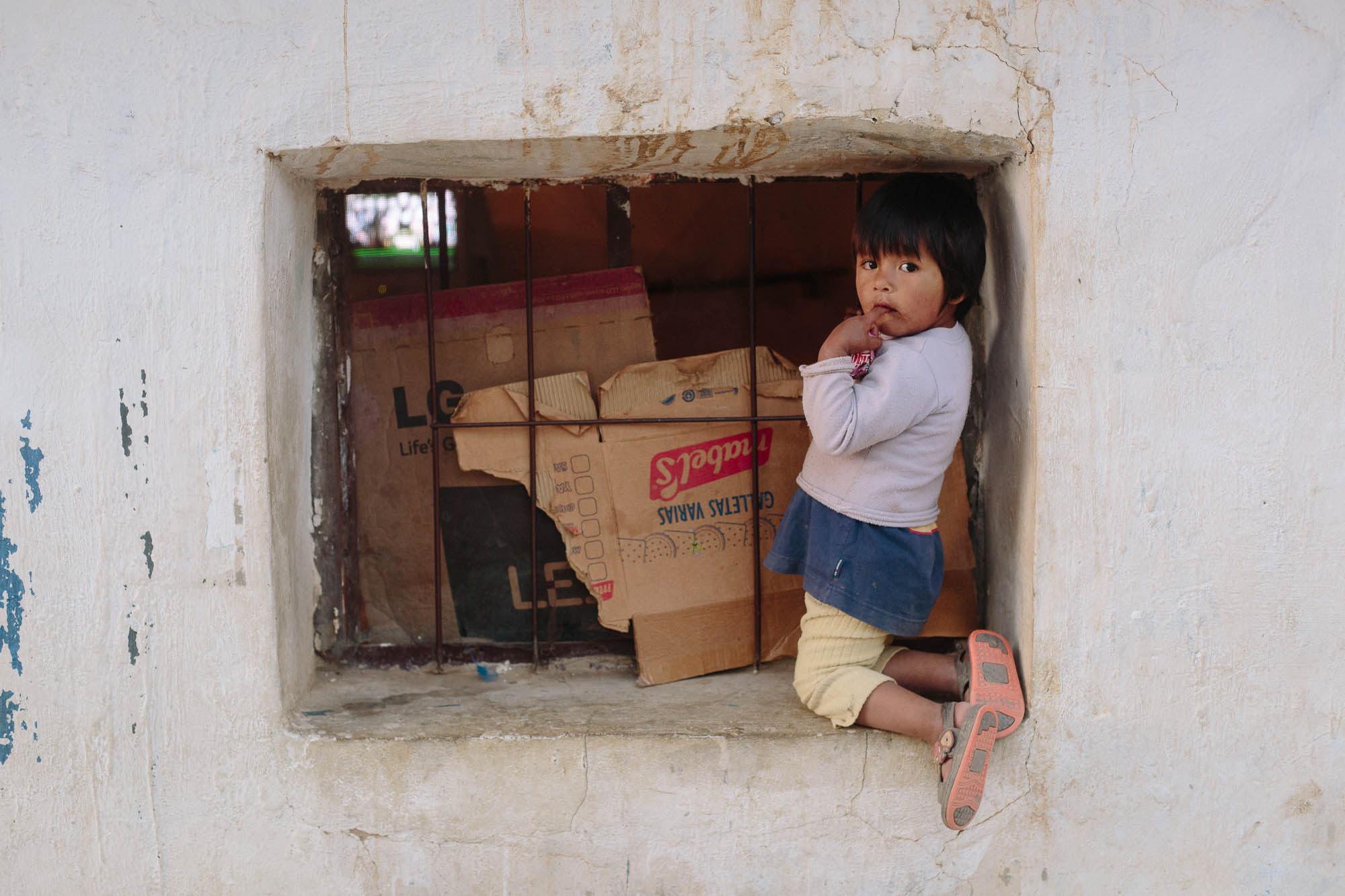
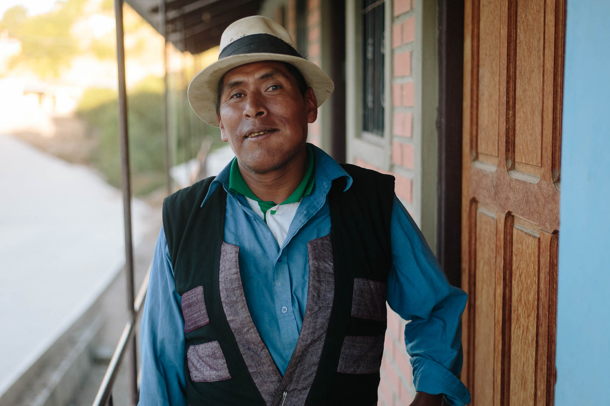
Roads in this part of the world can be regularly washed out and sometimes all but destroyed, adding somewhat to the challenges (the two current hike-a-bikes are marked on the map). But it’s worth it: the small communities along this route see very, very few tourists. They’ll likely welcome bikepackers in with curiosity, potatoes, and perhaps a grubby glass of chicha, a fermented corn booze.
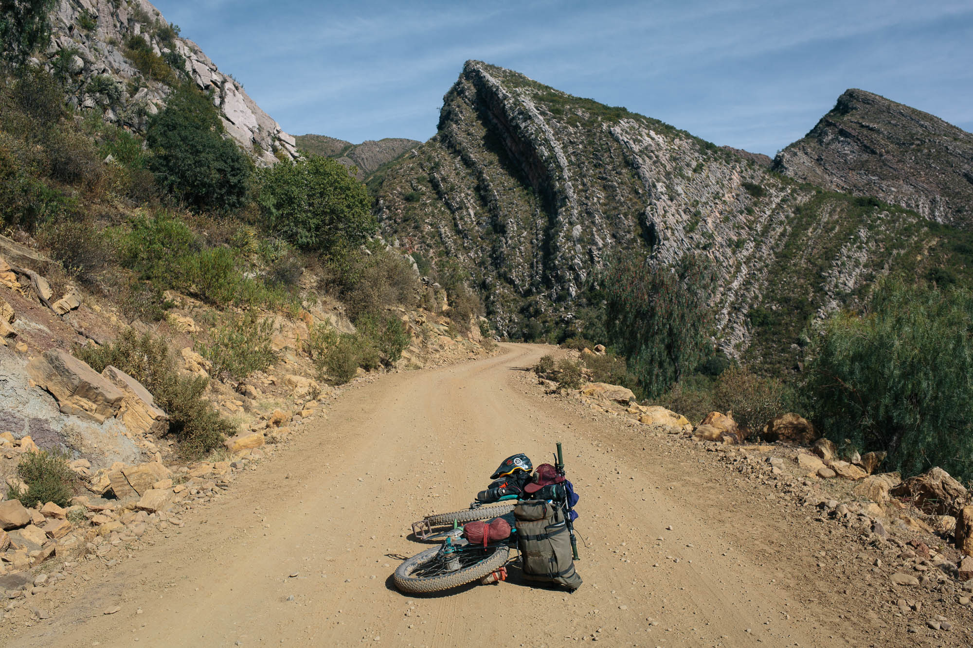
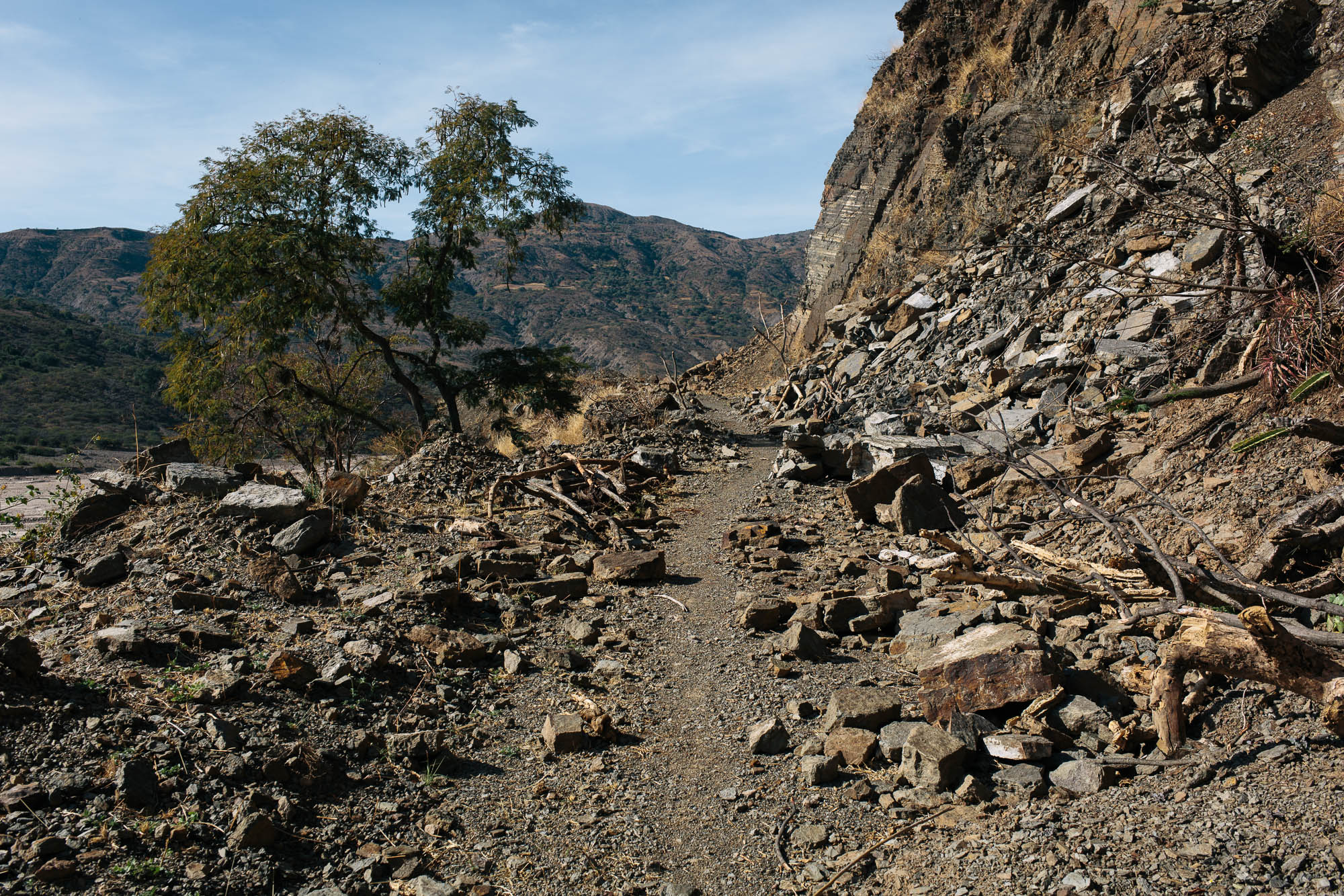
From Toro Toro National Park the road is even less ridden, given that a major landslide has all but closed access to Sucre beyond the small settlement of Carasi. Rumor has it it’s due to be repaired, but given that it’s been in its current sorry state for a few years ( tan feo y malo, as they say in Bolivia), don’t count on it happening anytime soon. In fact, even motorbikes aren’t able to sneak through, which is saying something in this part of the world.
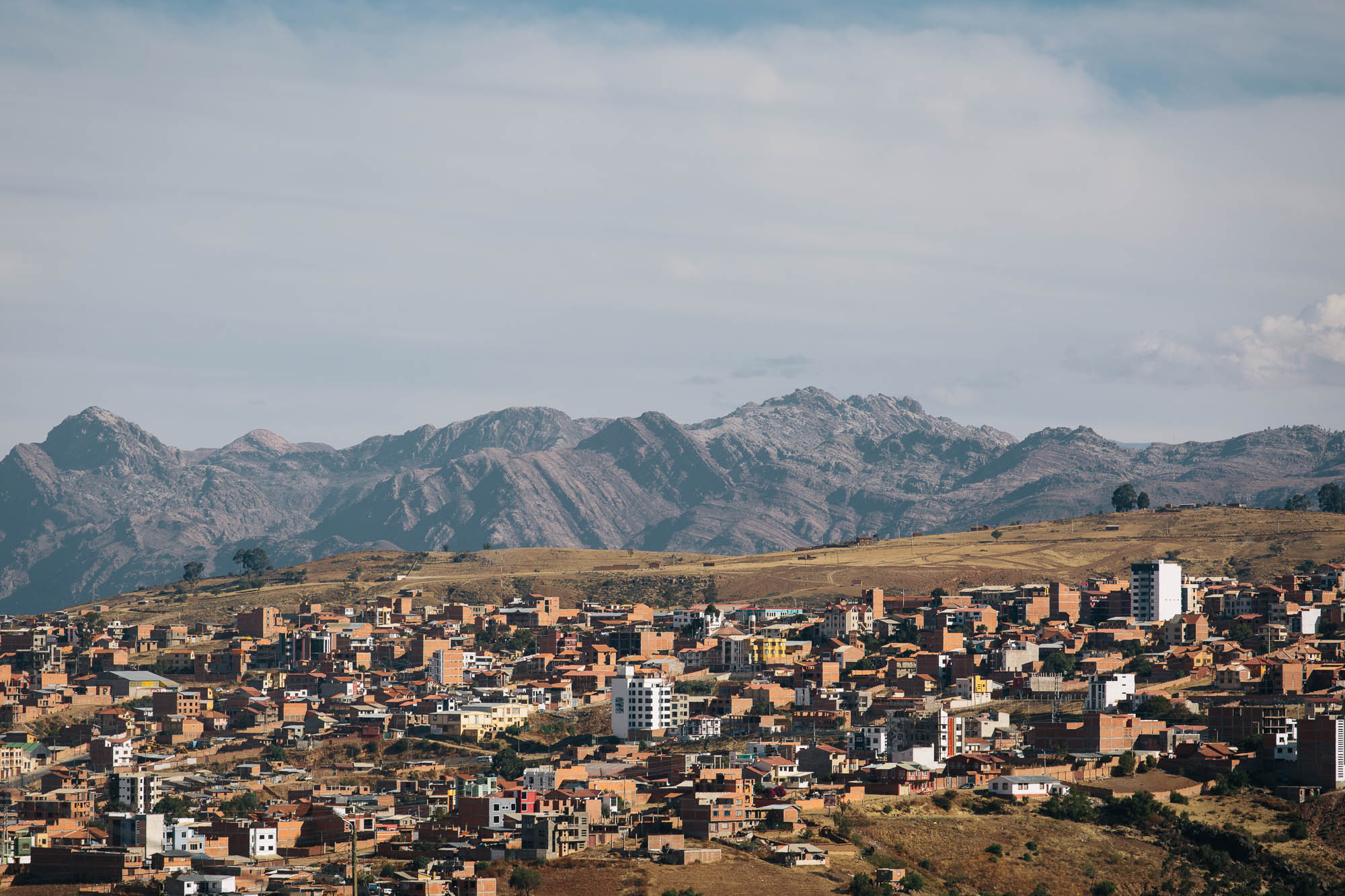
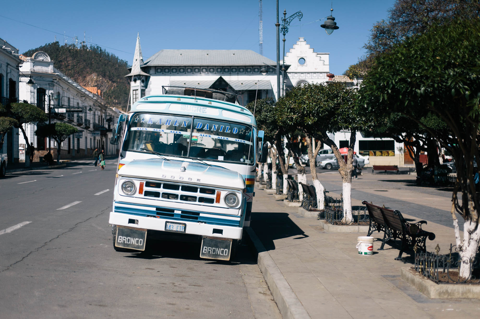
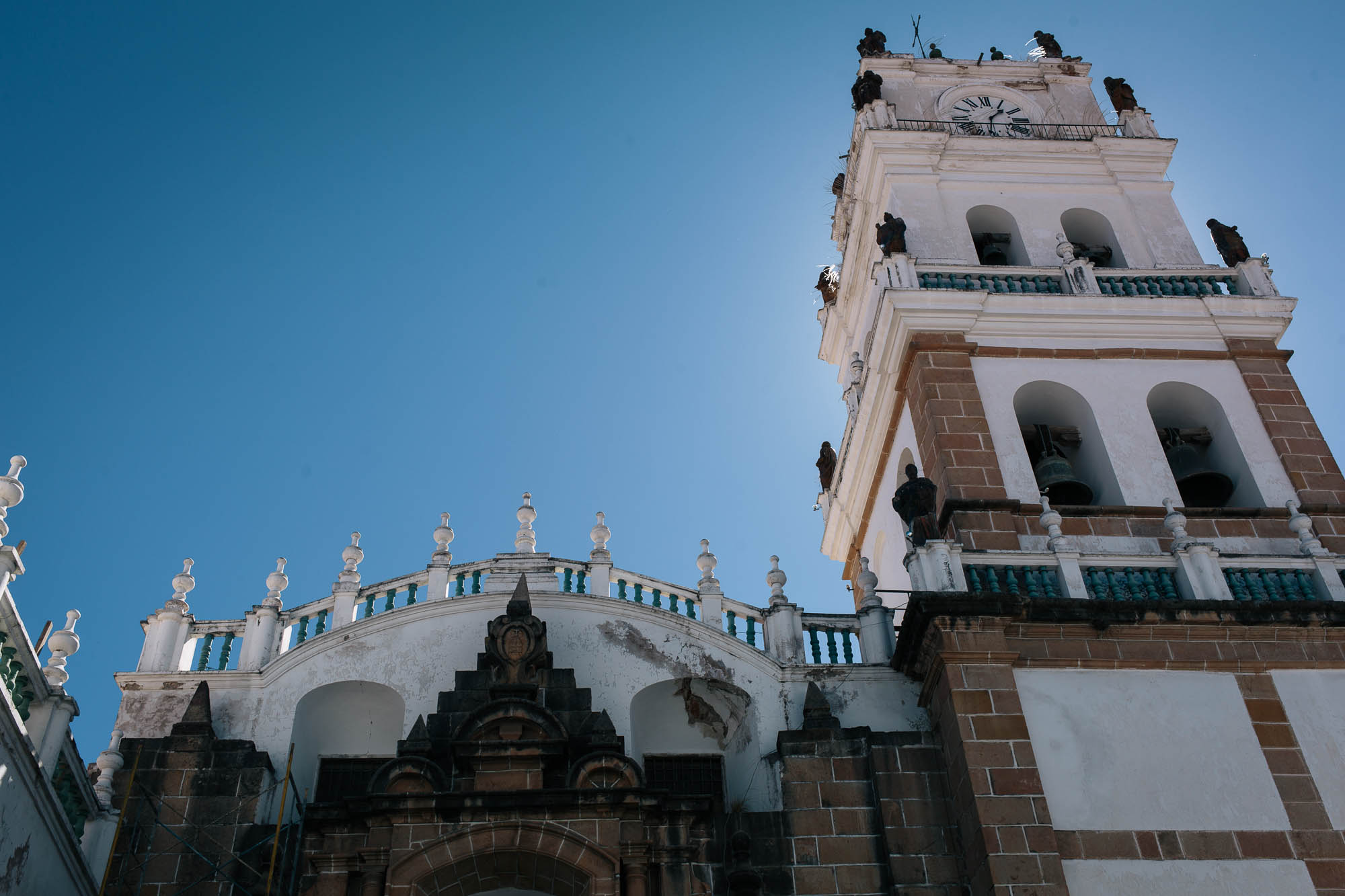
Thankfully hay paso for bikes (as there are for donkeys), as long as you don’t mind pushing, carrying, scrabbling over loose rock, and straddling the odd tree. From the small community of Wari Wari, surfaces are far better, though grades are rarely easy. Be prepared for an ongoing dose of rollercoasting climbs and descents, all the way to the beautiful, UNESCO city of Sucre, the official capital of Bolivia.
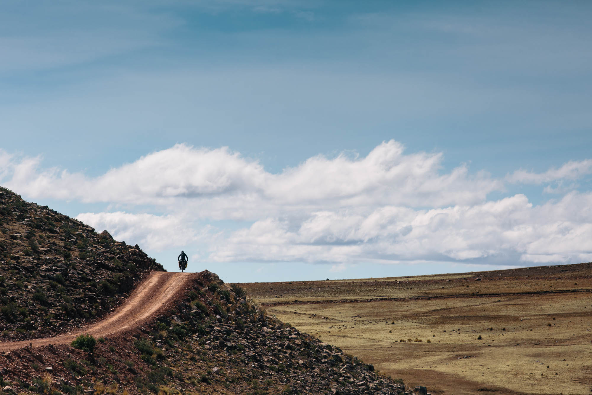
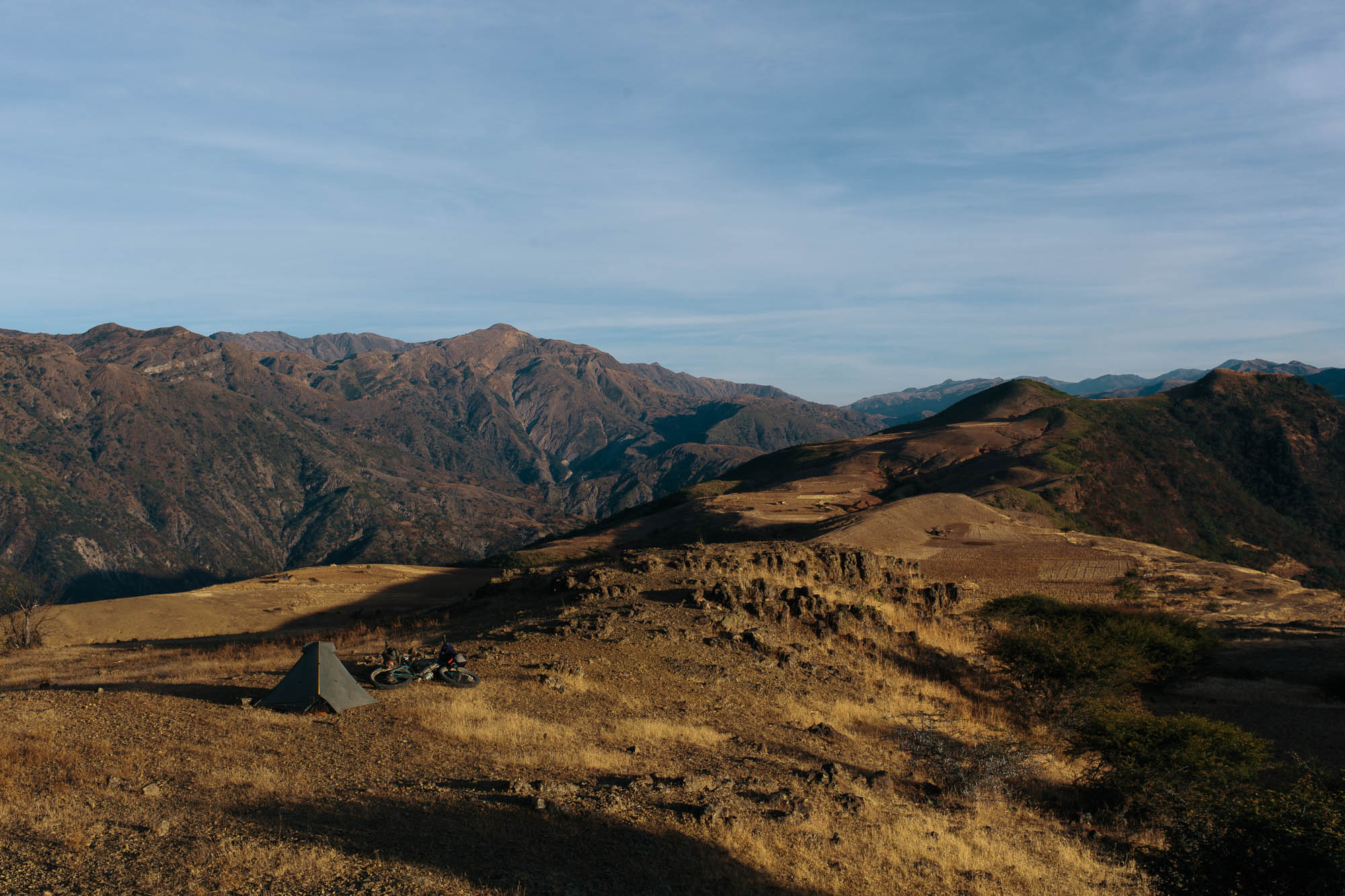
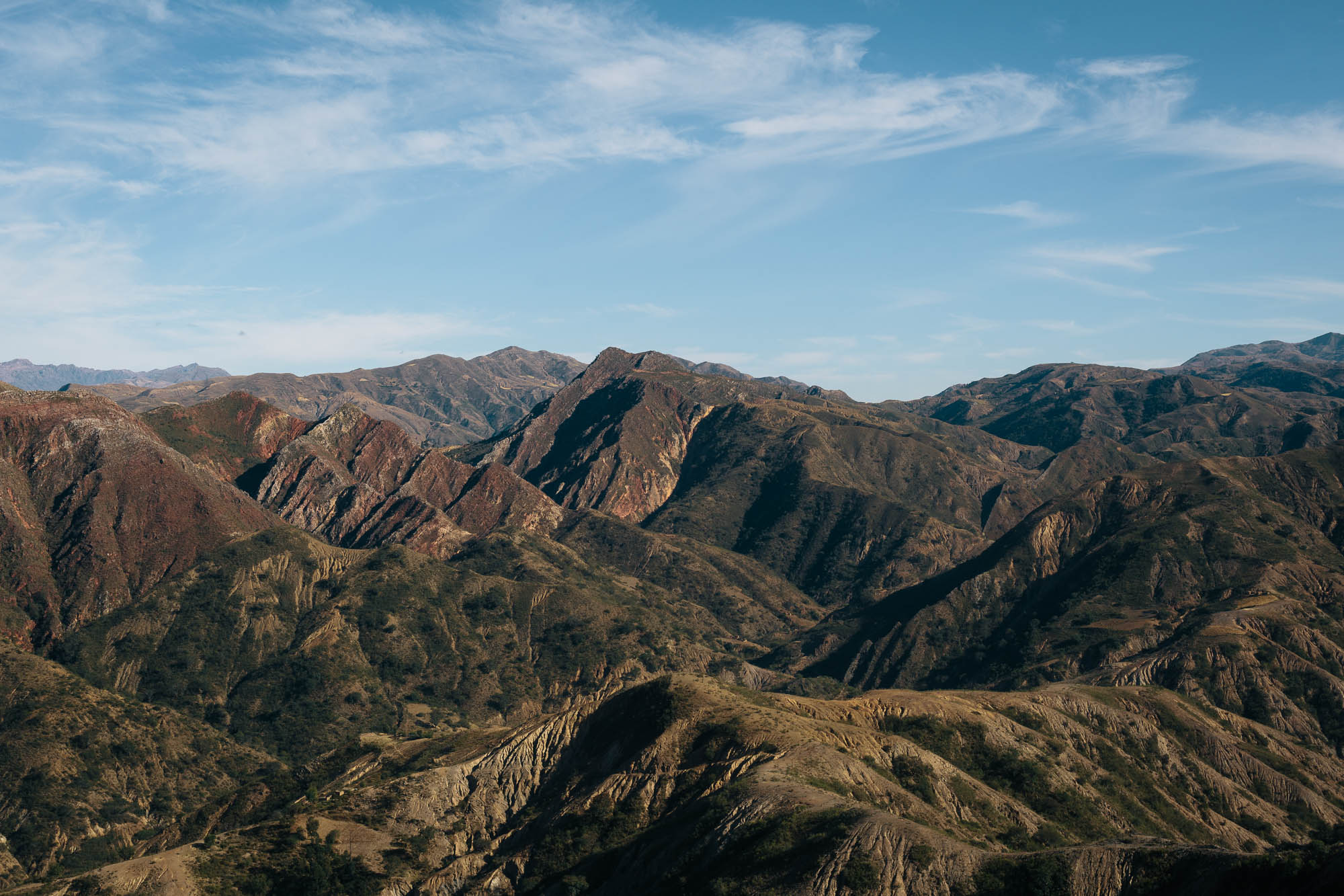
The ride offers a marked change from the extremities of the Altiplano that lies on either side of Cochabamba and Sucre. Anyone tackling this route will, however, need to be game for an inordinate amount of climbing. This region of Bolivia is never flat, with short, stabby climbs ceding only to only to longer, winding passes. In fact, riders may well feel like they’re surrounded by a vast ocean of low lying mountains. Wherever you cast your gaze, there’s one ripple after another. Grades are generally mellow but can be extremely steep at times, which elevations topping out at close to 4000m, requiring a degree of acclimatization.
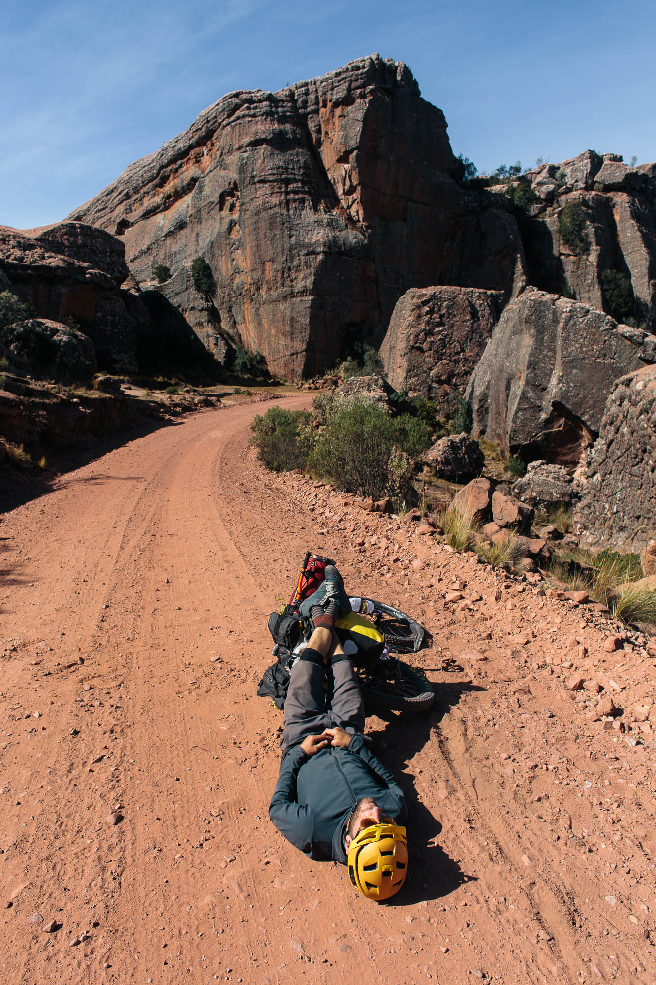
Difficulty: This route has been an awarded a solid 8, mainly due to its significant amount of climbing over its relatively short length. A day or two in Toro Toro National Park is recommended to rest up. Although surfaces are good for the most part, the hike-a-bike out of Carasi is a tough nut to crack with a fully laden bike. Water is relatively easy to find and there are small settlements along the way for food. Basic Spanish is very useful. Check on road conditions after the rainy season.
Want to push on to Potosi via the road less traveled? Here’s a good backcountry option…


Submit Route Alert
As the leading creator and publisher of bikepacking routes, BIKEPACKING.com endeavors to maintain, improve, and advocate for our growing network of bikepacking routes all over the world. As such, our editorial team, route creators, and Route Stewards serve as mediators for route improvements and opportunities for connectivity, conservation, and community growth around these routes. To facilitate these efforts, we rely on our Bikepacking Collective and the greater bikepacking community to call attention to critical issues and opportunities that are discovered while riding these routes. If you have a vital issue or opportunity regarding this route that pertains to one of the subjects below, please let us know:
Highlights
Must Know
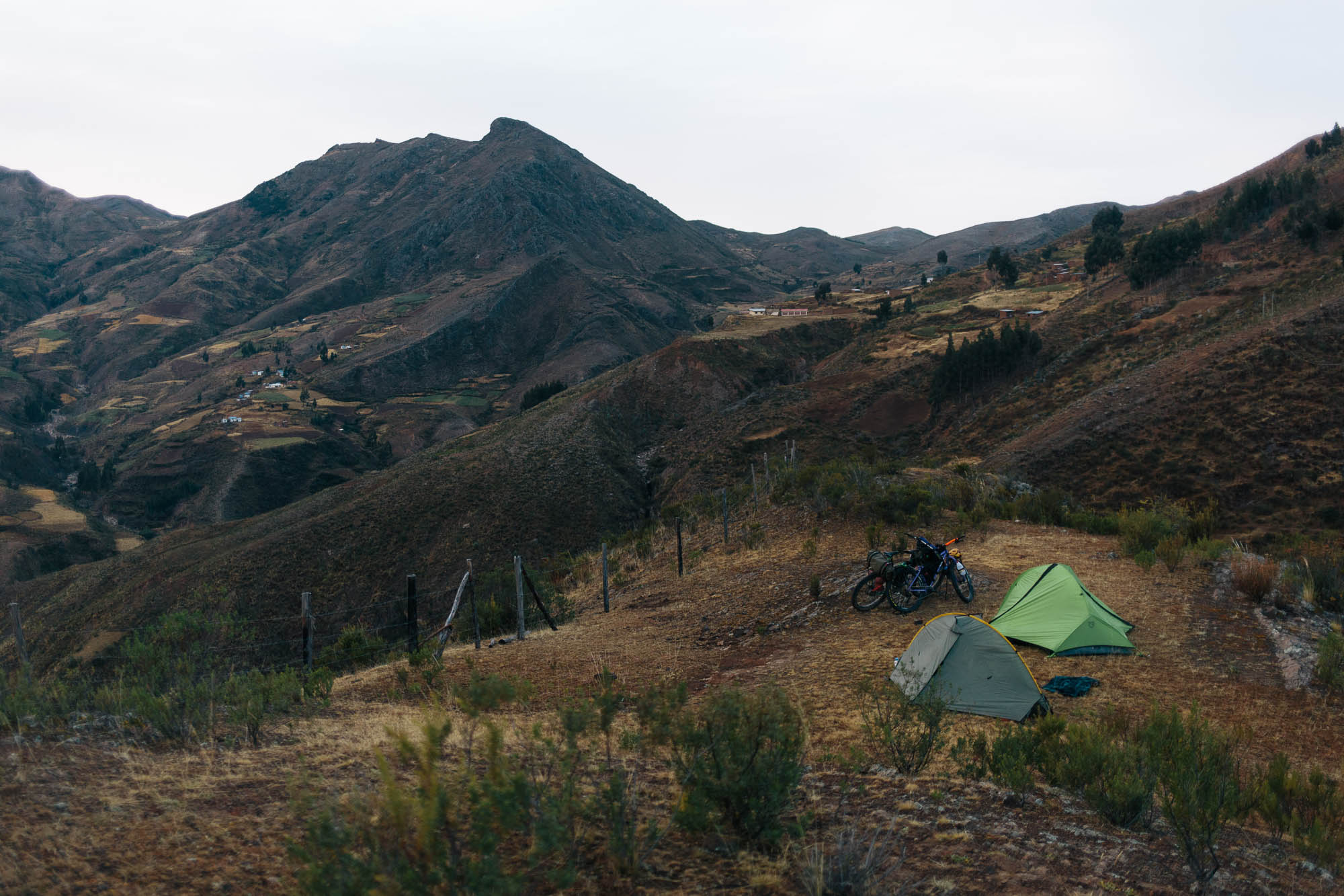
Camping
Food/H2O
- The descent into beautiful Toro Toro National Park.
- Experiencing Bolivian campesino life; corn, potatoes, and all.
- Like climbs? You’ll love this route…
- Dirt road heaven; roads spider out in every which direction and they’re almost completely traffic free.
- Kicking back in Sucre; Bolivia’s most beautiful city and a great place to sip coffee and dine on more than just potatoes…
- When to go: the area is only reachable Bolivian winter (June-Oct), as the summer sees heavy rain, mud and washed out roads (Toro Toro means Mud Mud in Quechuan!) The area doesn’t get especially cold though – a 0 centigrade (32F) bag should be fine.
- Altitude: Although this ride doesn’t hurdle the high passes of the Altiplano, a degree of acclimatisation is still required, so don’t rush into it, unless you’ve been in the area for a few days at least.
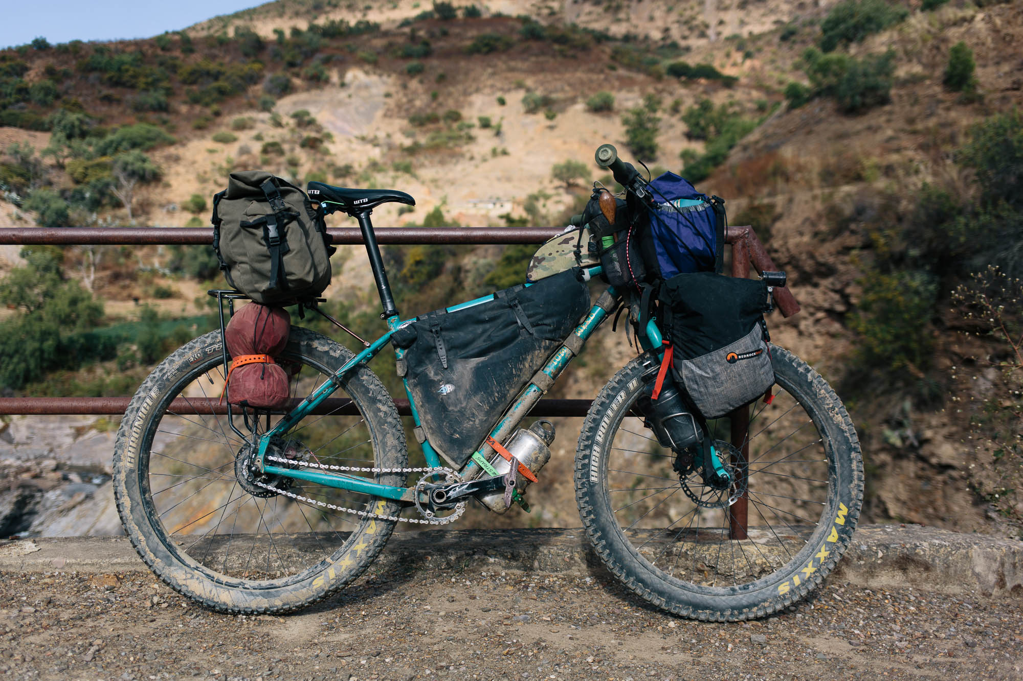
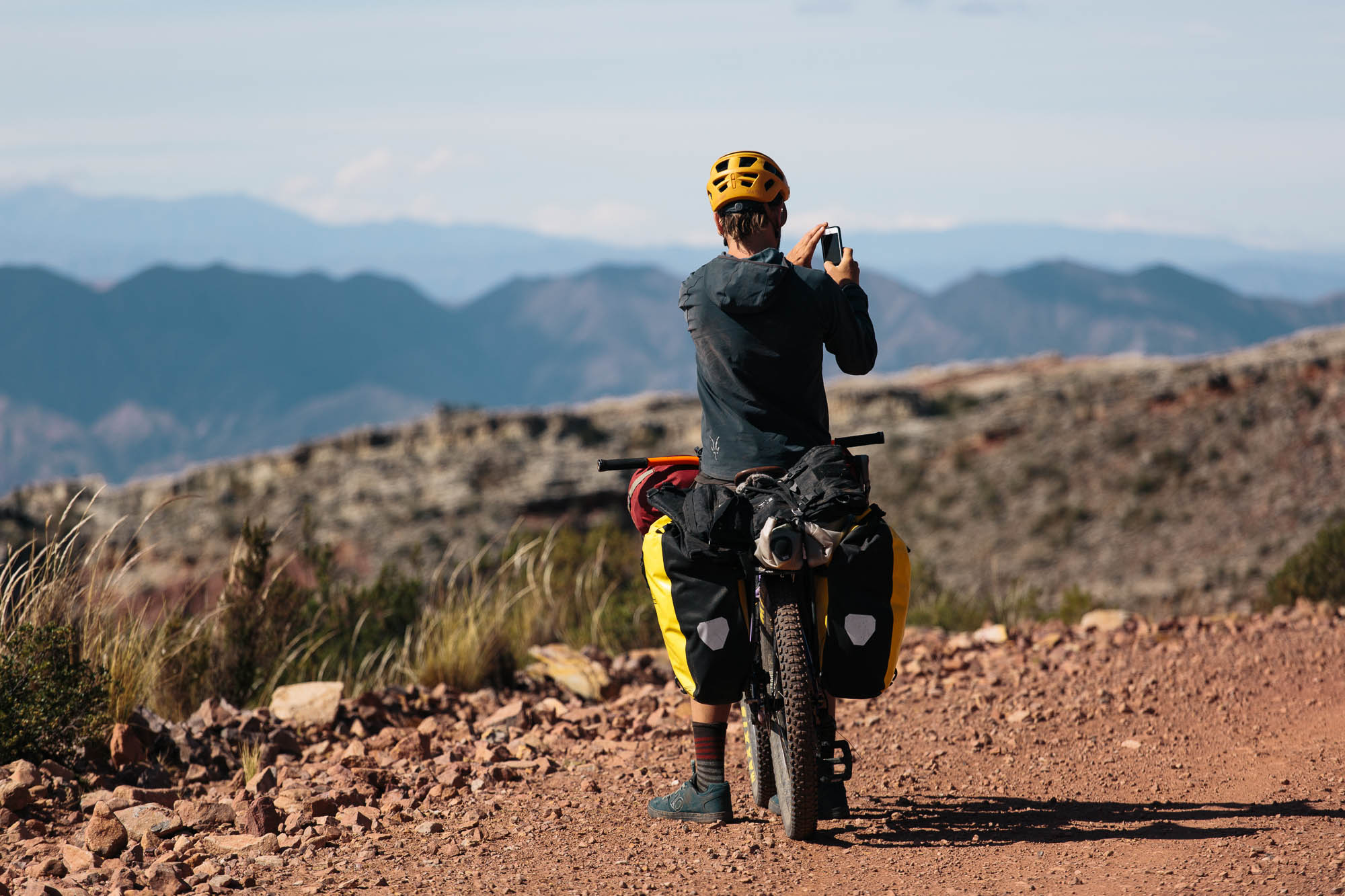
- Best Bike: Any kind of touring/mountain bike is fine. For the most part, dirt roads are well surfaced but there are enough rocks and large stones to rule out enjoying lengthy sections of this ride on skinny tires.
- Gear your bike low; grades can be really steep and climbs protracted.
- There are good bikes shops in Cochabamba (eg Ciclomundo, which has cheap tire sealant) and Sucre.
- Watch out for thorns on a couple of the hike-a-bikes; we ran sealant.
- A basic grasp of Spanish is handy as this is real backcountry riding, though many of the older generation in this area only speak Quechuan. Incidentally, Sucre is a great place to learn Spanish on a budget.
- Hike-a-bikes: due to damaged roads, there is one small hike-a-bike and one extended odyssey to contend (the latter is immediately after Carasi, see gpx file/map for details). Until the next machine can get there, it’s likely to stay that way, bar the odd local community crew pick-axing its way through to regain vehicular access to the area.
- Entry to the national park is 100B ($15) and is valid for 4 days. You’ll need a guide too, so common practice is to team up with other travelers and split costs. This is done at 7.30am at the guide’s office (next to the park office, marked on the map). We visited the classic highlights of the park: Ciudad de Itas and the Cueva Humajalanta but there’s plenty more to see. Put aside a day to explore, if not two so you can rest up as well. Note that the route passes by several of the park’s sites of interest, but you’re not allowed to visit them until you’ve bought your ticket and you’re with a guide, which means returning with a group in a vehicle the next day.
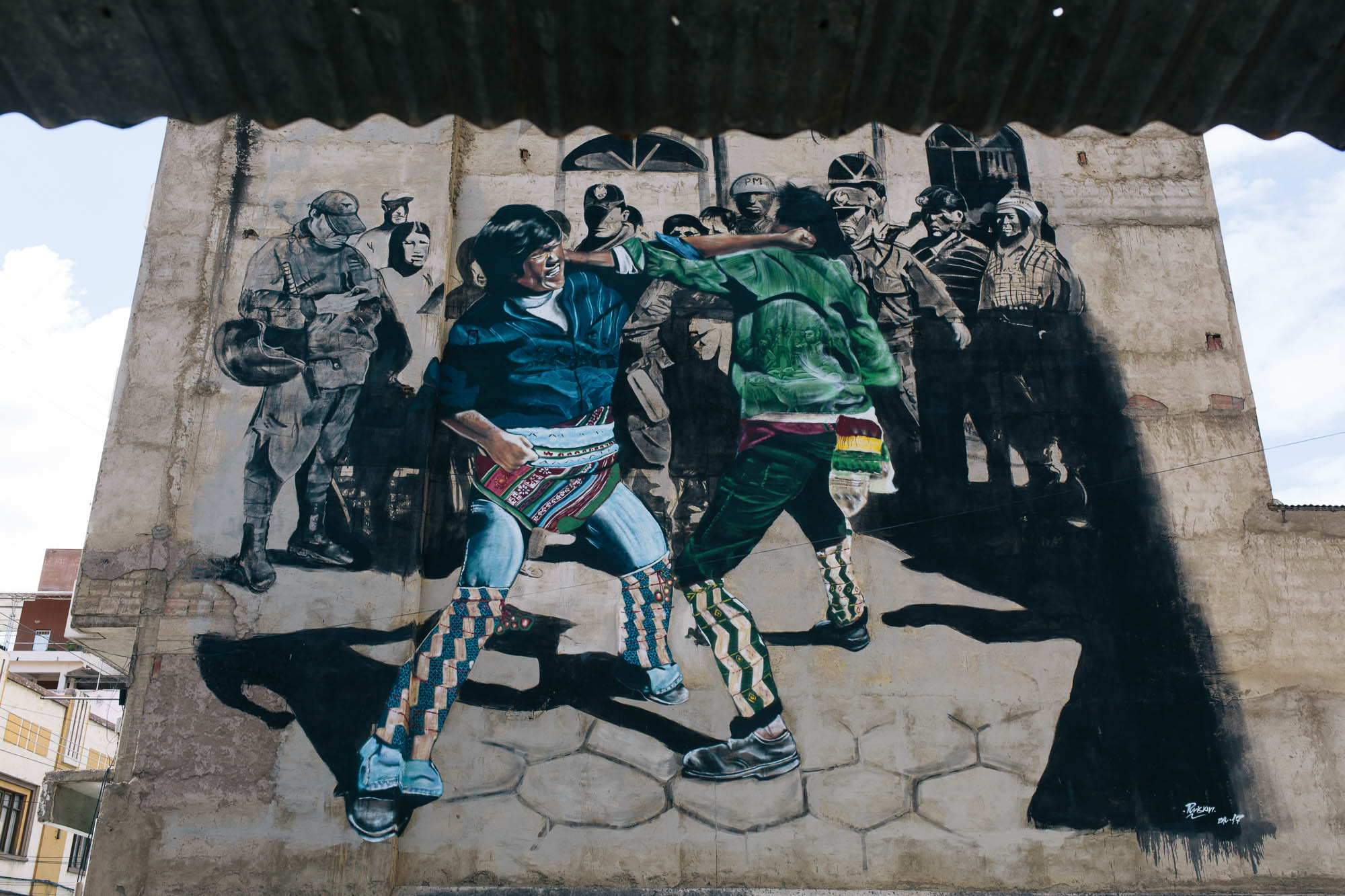
- There’s a Bike Art Tour in Cochabamba, showcasing many of the city’s mural. We didn’t get a chance to do it but it looks really interesting.
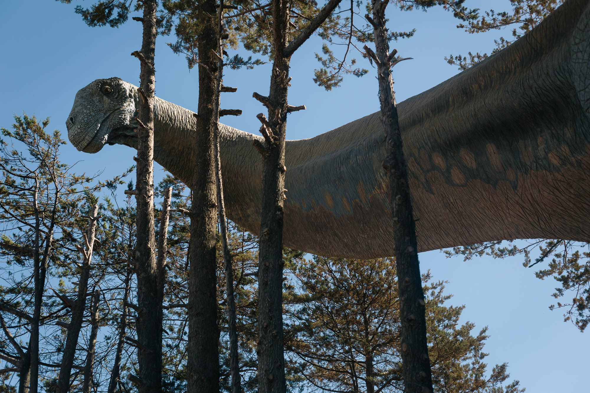
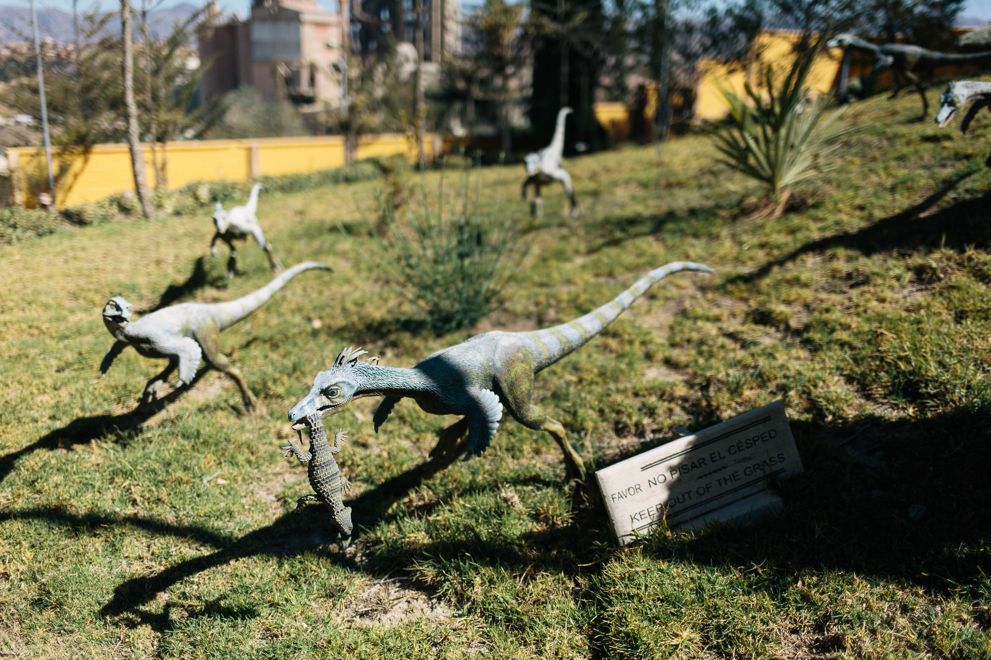
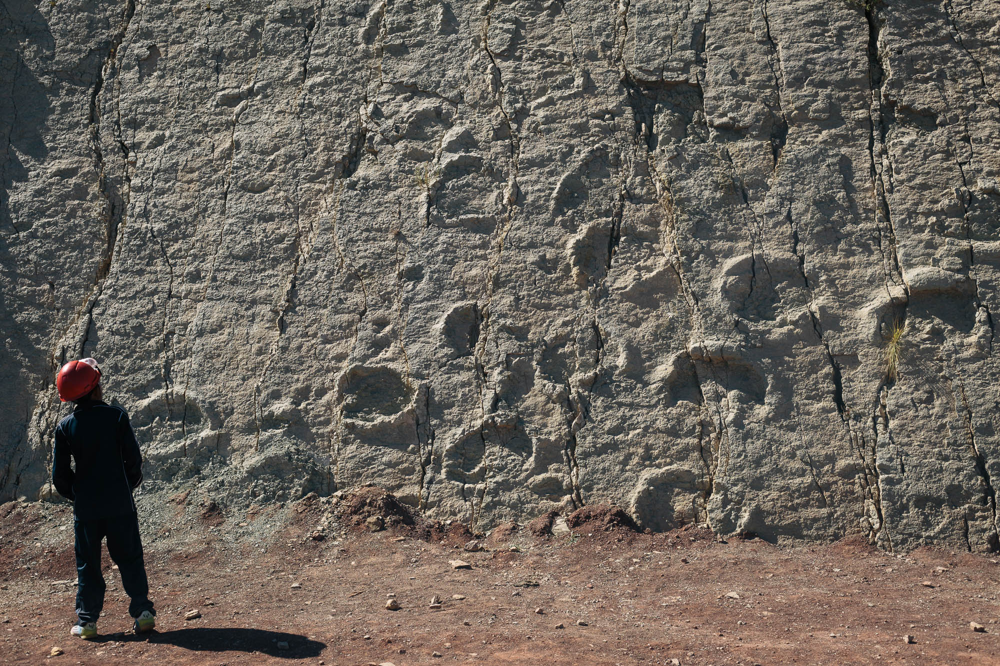
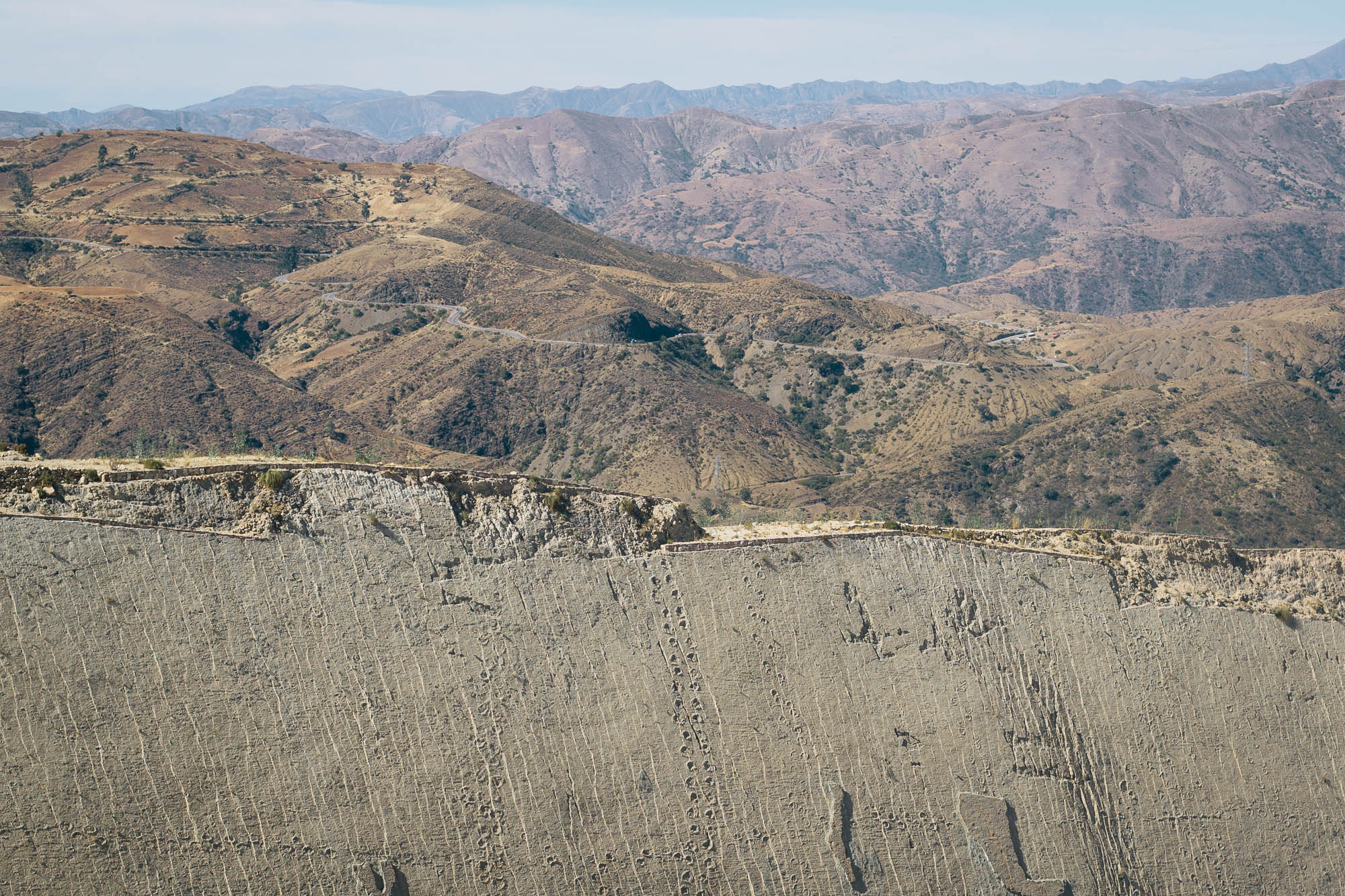
- The Parque Cretácico in Sucre houses a mind-boggling collection of some 5,000 dino footprints, discovered on the grounds of a local cement factory. There’s also an impressive array of life-size dino models in the park, complete with Jurassic Park-style sound effects. It’s 30B and there’s a very informative, English-language tour at midday and 1pm. This is the best time to go as the prints, which span the length of wall that measures some 1.5km in length, are most visible when the midday light strikes them. Can you tell I thought it was incredible?
- Want to push on to Potosi via the road less traveled? Here’s a good backcountry option…
- Wild camping is possible throughout, though flat spots that aren’t fields are hard to come by in some areas. Villages can be noisy at night (dogs/cockerels, brass bands). Aim to camp out of eyeshot where possible, or ask for permission if there’s a house nearby.
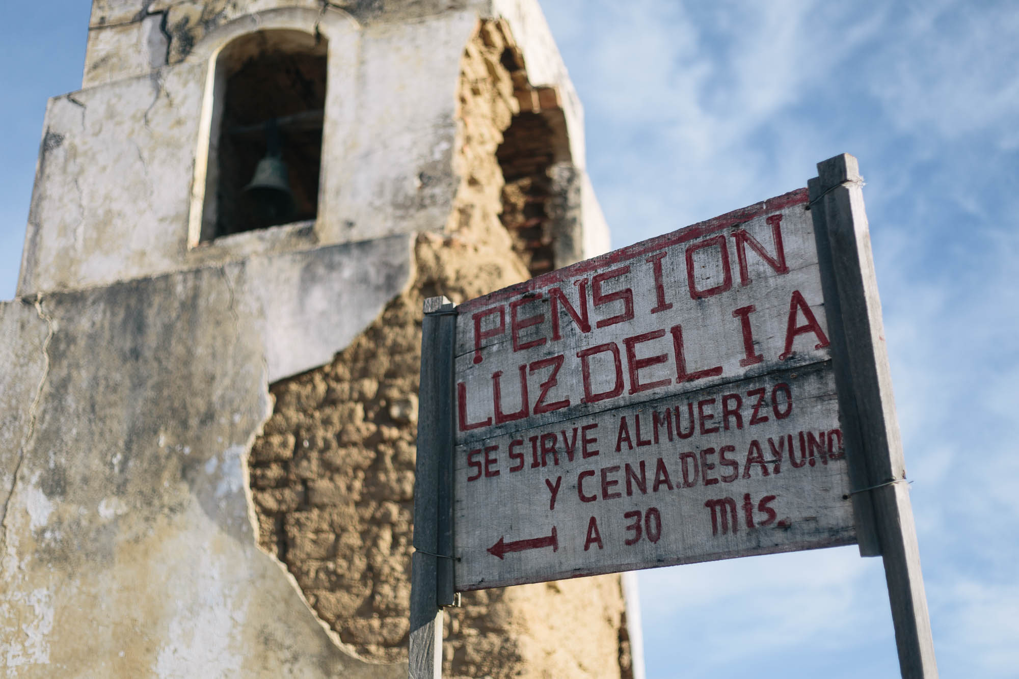
- Recommended lodging that we came across is marked on the gpx file; large settlements have a good range of options, including Cochabamba, Toro Toro and Sucre. You’ll be able to find a 10 Boliviano bed ($1.5) in most larger settlements if you ask around.
- Tara Tara in Torata has great camping (15B pp or 50B pp for a room) as does Hostal Wilma in Toro Toro (20B pp or 40B pp for a room). The Tara Tara hostel is a great place; the kindly owners may well be able to sell you their own unfiltered honey too. They know all the best places in town for local produce.
- Hostel Los 7 Patos offers cheap digs in Sucre, with a large and sunny courtyard.
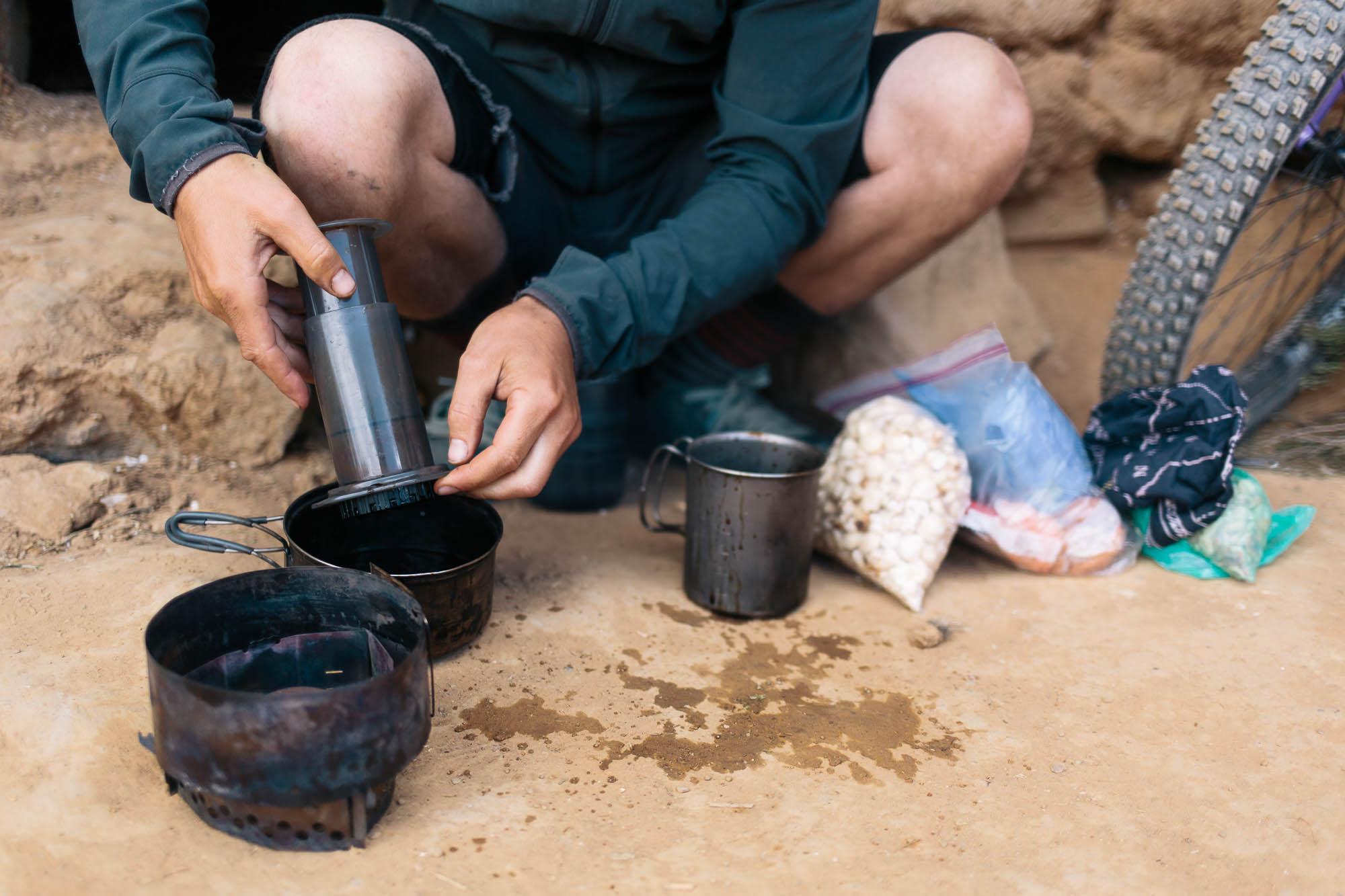
- Given the fluctuations in altitude, this route can get hot and sweaty, so pack plenty of water; we carried 1.5-3.5L at any one time. All settlements have a ‘grifo de agua’ (tap) and rivers/streams abound, though will need to be filtered.
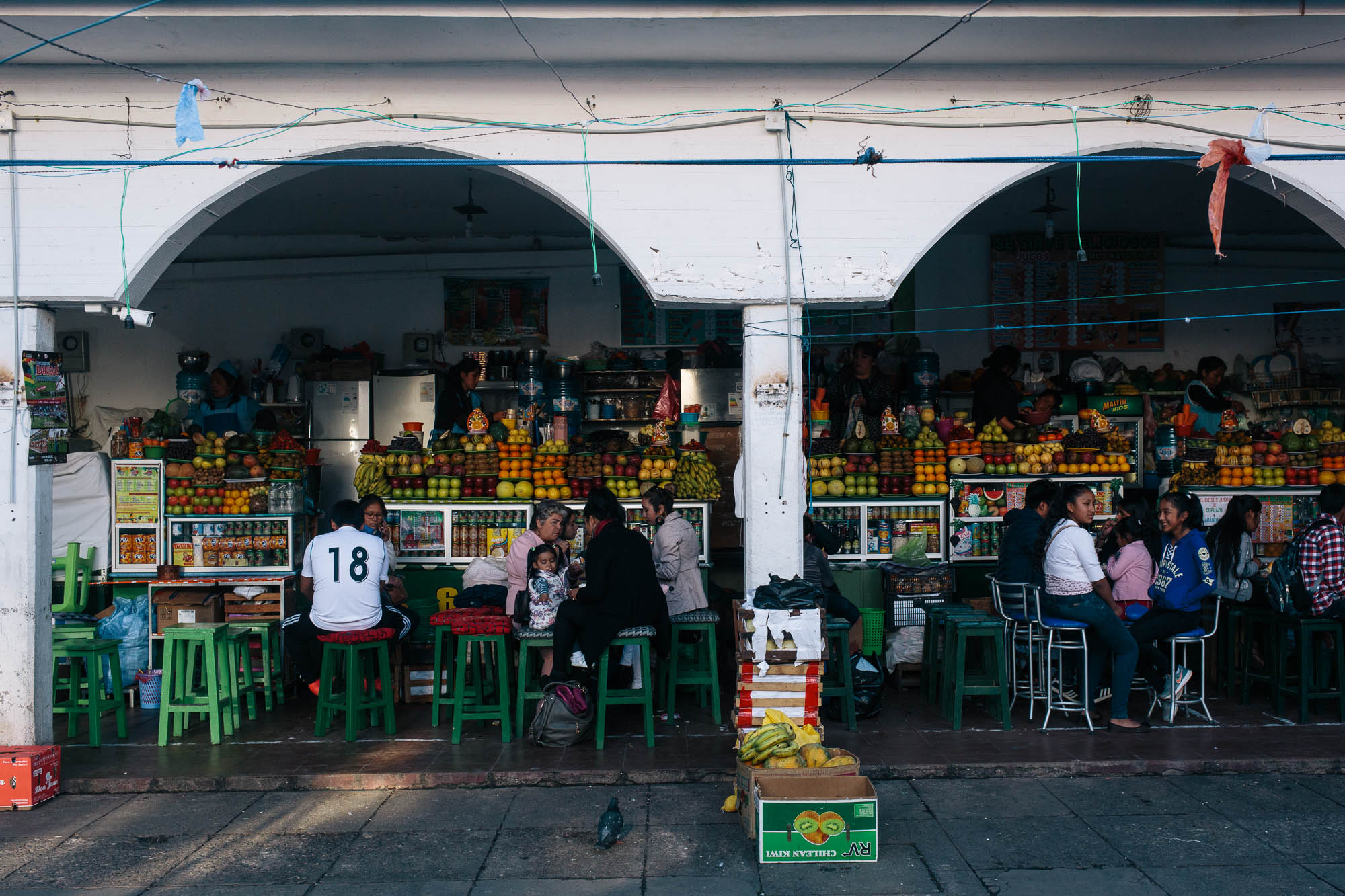
- Stock up in Cochabamba or Sucre for the best selection of food. Don’t expect much in between, bar the settlements of Tarata, Acasio and Toro Toro. Tarata has some great street food.
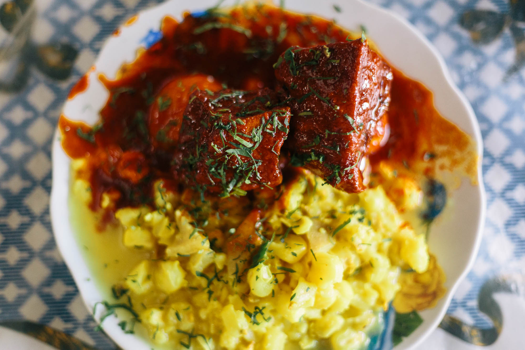
- Most larger settlements will have set dishes if you time your ride right; think chicken soup with rice, some innards, and a few flecks of vegetables. Acacio and Tarata have the best selection of food outside of the cities, Smaller settlements will have a very basic store at most.
- In Tarata, there’s an agricultural college opposite the Tara Tara hostel that sells natural yoghurt if you ask.
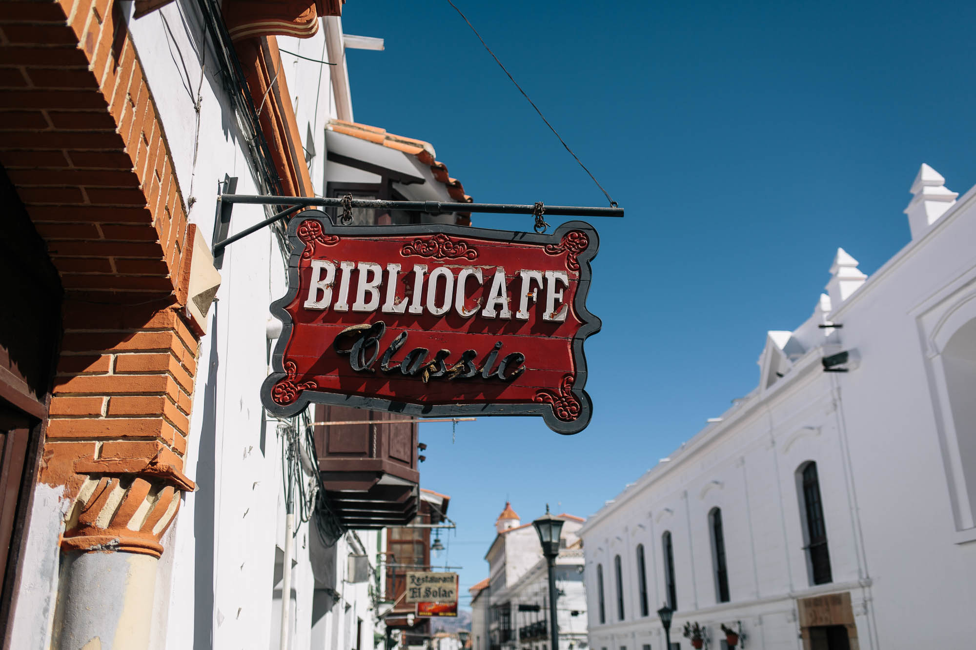
- The main square in Sucre is a hub of relaxed life; it’s a great place to sit and read a book, watch the world go by, and sip coffee. Cosmo Cafe is a good stop for catching up on wifi, having a coffee, and observing life unfold in the square.
- The Mirador in Sucre is the place to be come sunset; with a fancy cafe serving drinks too.


Terms of Use: As with each bikepacking route guide published on BIKEPACKING.com, should you choose to cycle this route, do so at your own risk. Prior to setting out check current local weather, conditions, and land/road closures. While riding, obey all public and private land use restrictions and rules, carry proper safety and navigational equipment, and of course, follow the #leavenotrace guidelines. The information found herein is simply a planning resource to be used as a point of inspiration in conjunction with your own due-diligence. In spite of the fact that this route, associated GPS track (GPX and maps), and all route guidelines were prepared under diligent research by the specified contributor and/or contributors, the accuracy of such and judgement of the author is not guaranteed. BIKEPACKING.com LLC, its partners, associates, and contributors are in no way liable for personal injury, damage to personal property, or any other such situation that might happen to individual riders cycling or following this route.
FILED IN (CATEGORIES & TAGS)
Please keep the conversation civil, constructive, and inclusive, or your comment will be removed.