


Slate Springs Overnighter, Harrisonburg, VA
Distance
52 Mi.
(84 KM)Days
1
% Unpaved
75%
% Singletrack
0%
% Rideable (time)
98%
Total Ascent
5,438'
(1,658 M)High Point
4,360'
(1,329 M)Difficulty (1-10)
4?
- 7Climbing Scale Strenuous105 FT/MI (20 M/KM)
- -Technical Difficulty
- -Physical Demand
- -Resupply & Logistics
Contributed By

Logan Watts
Pedaling Nowhere
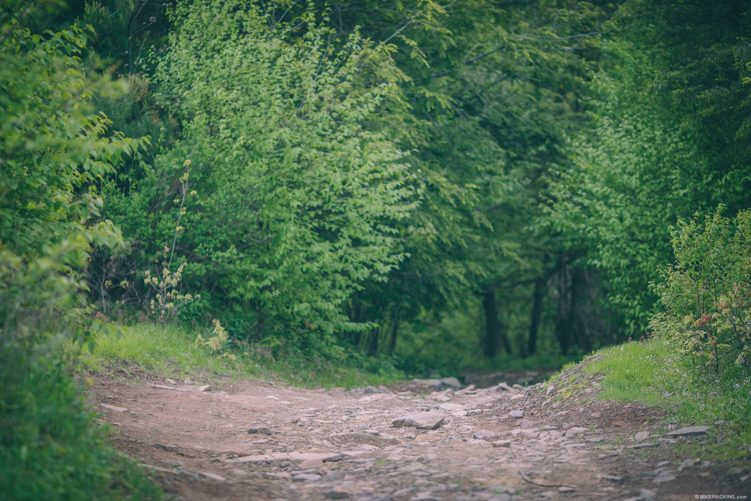
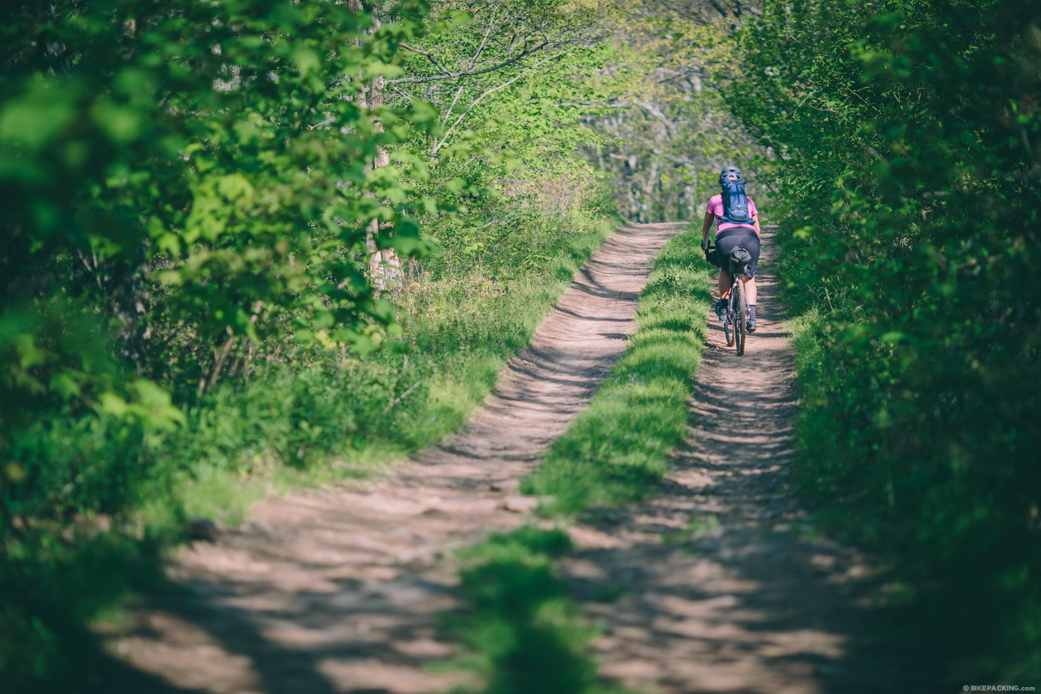
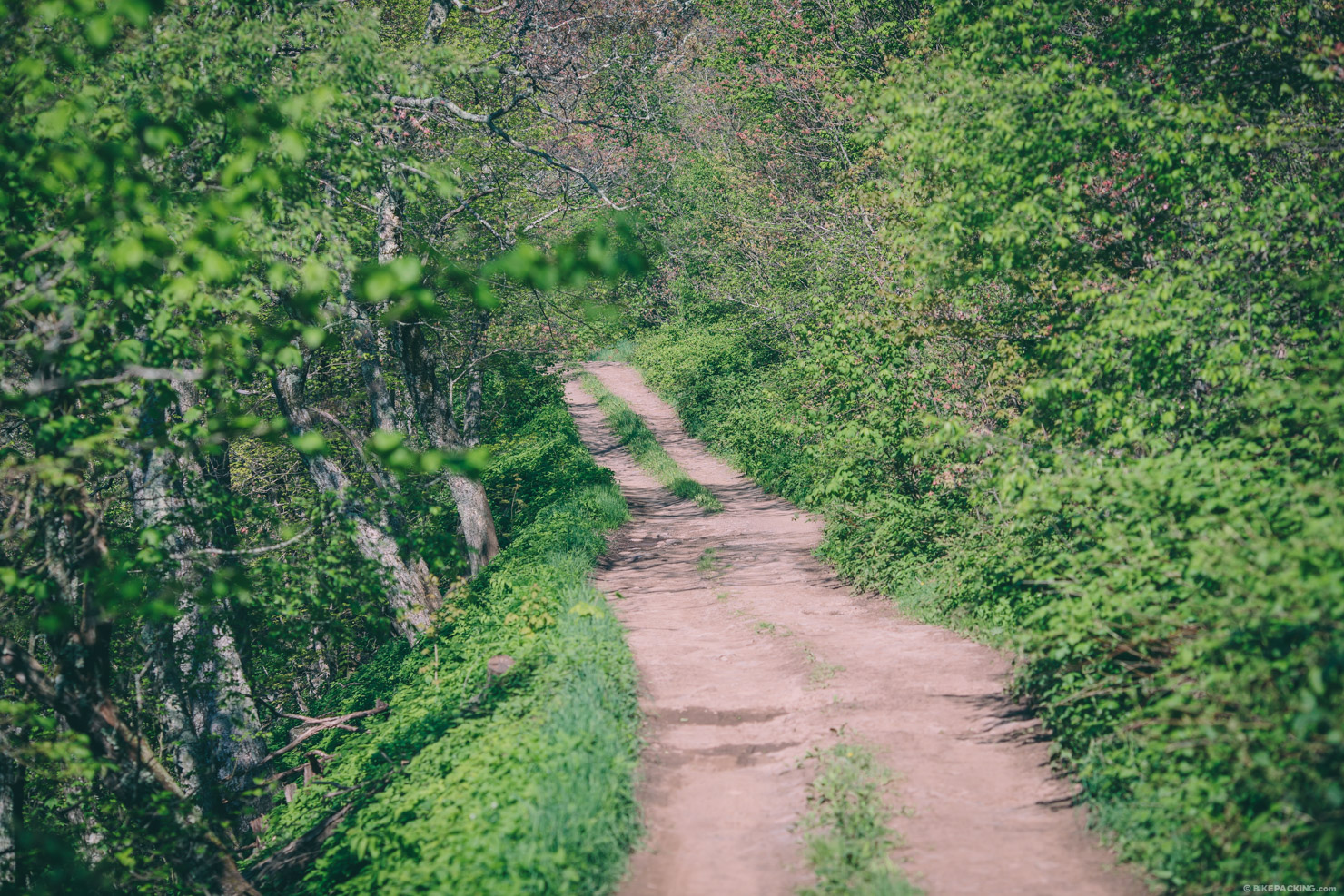
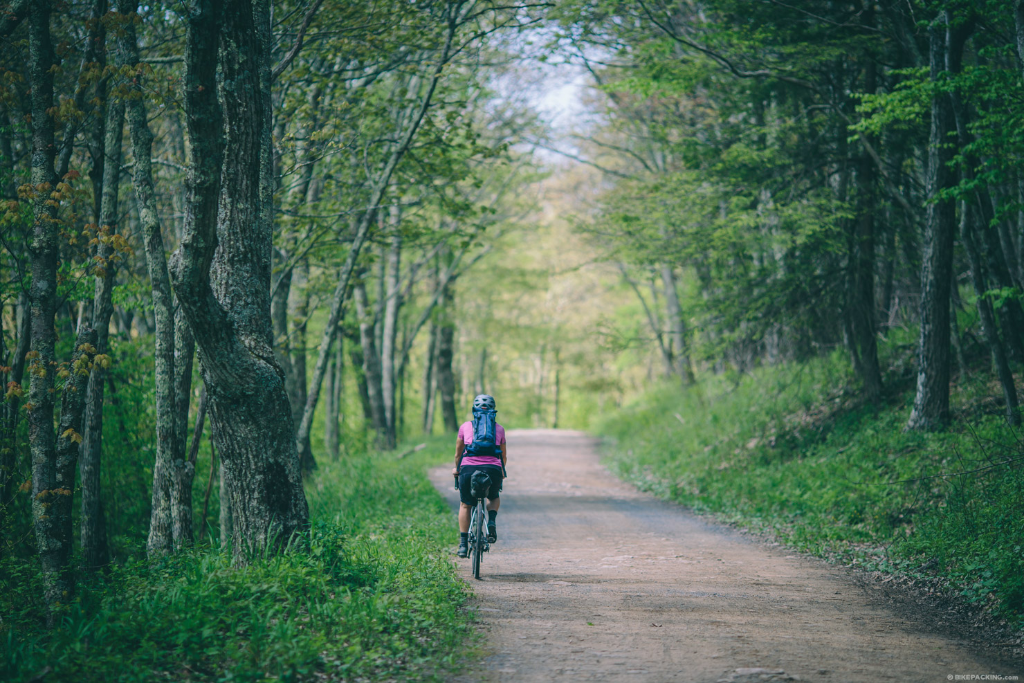
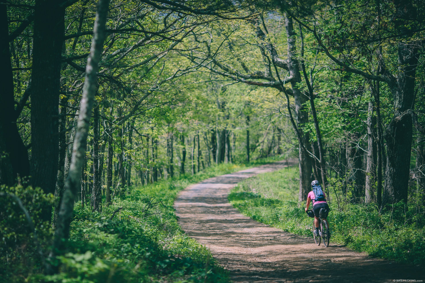
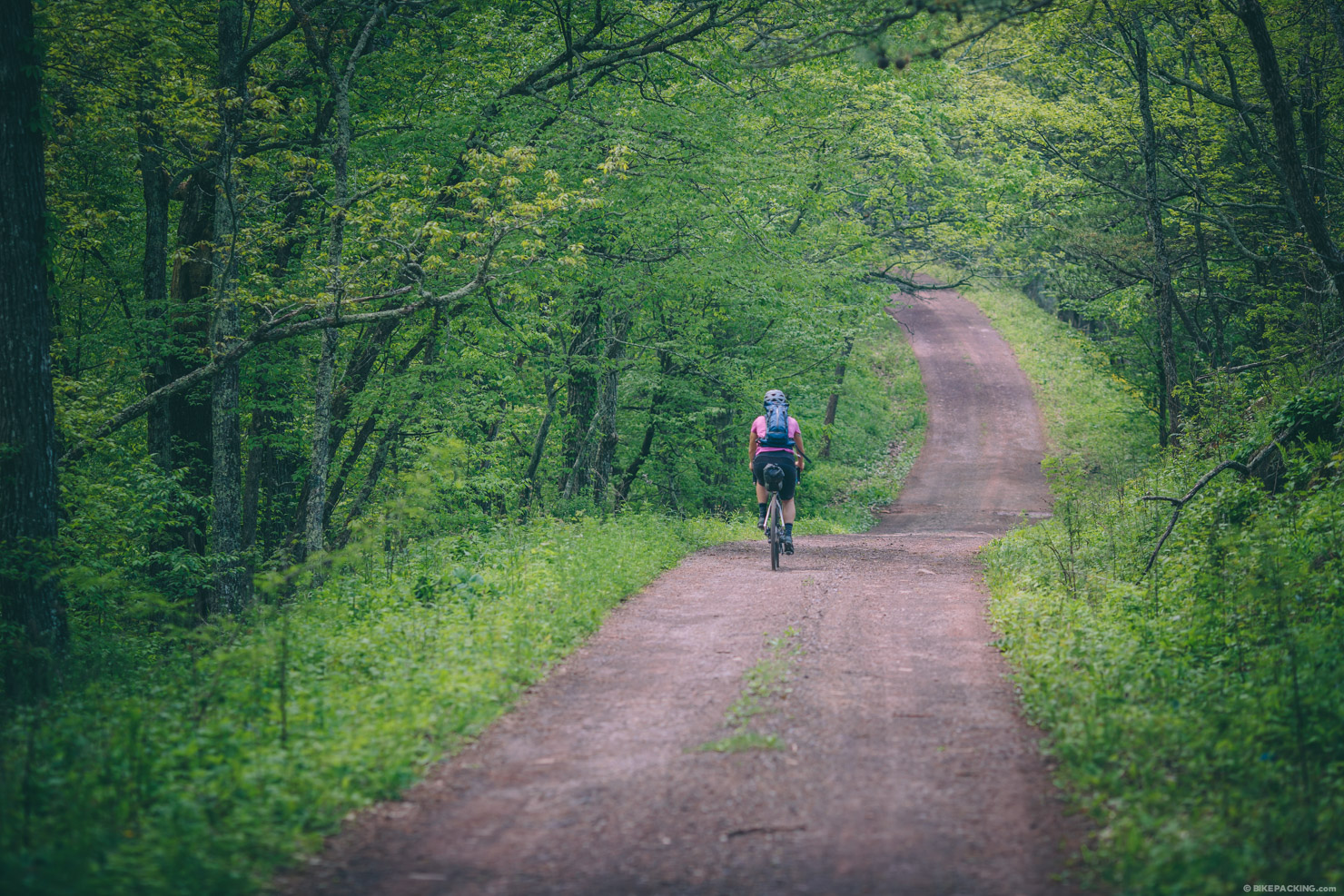
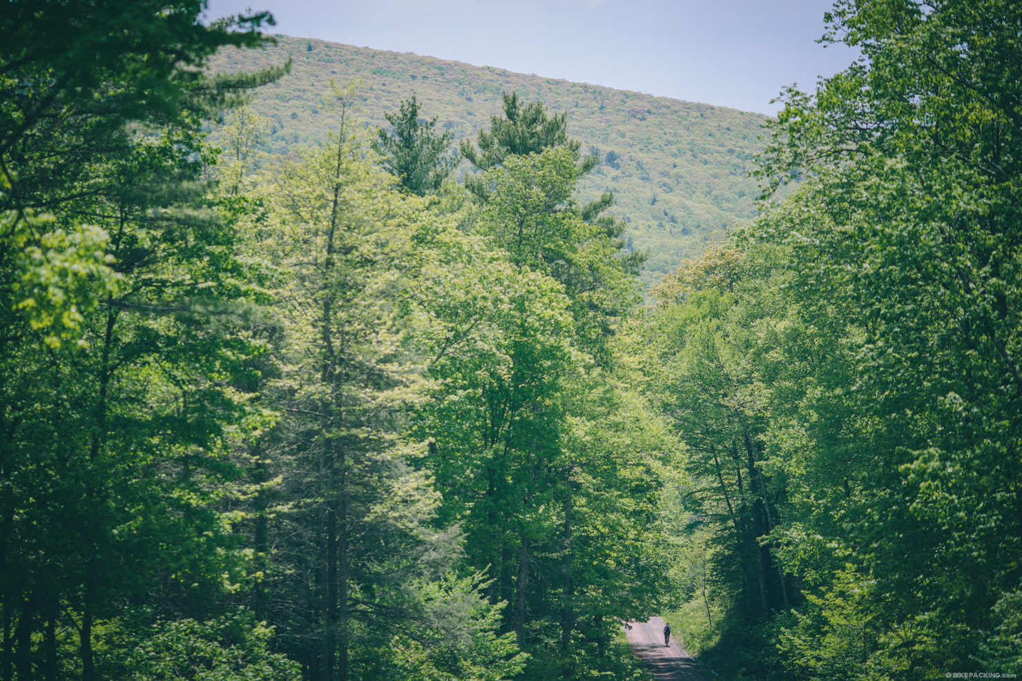
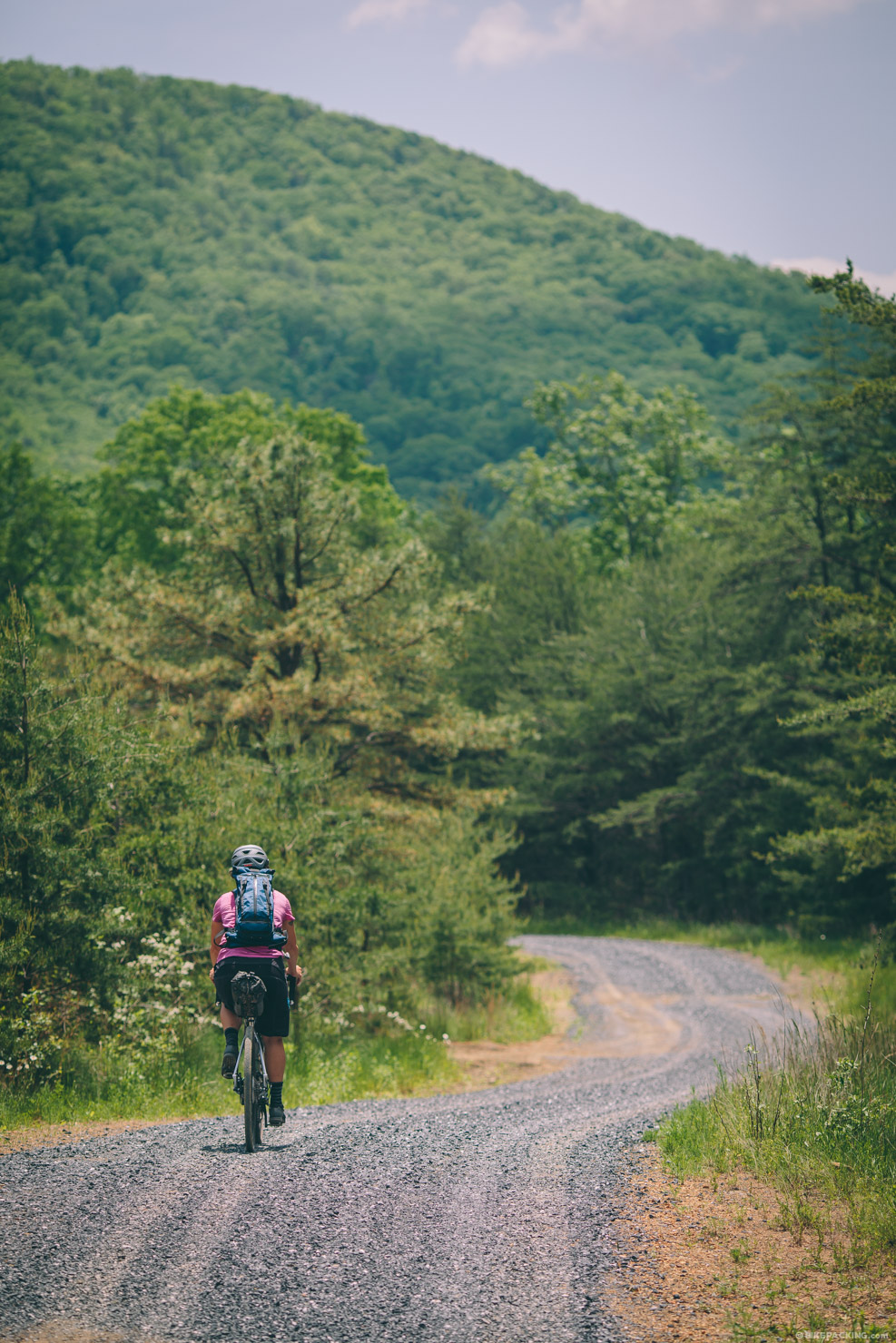
Originally established in 1918 as the Shenandoah National Forest, The George Washington and Jefferson National Forests combine to form one of the largest areas of public land in the eastern United States. While riding along the Virginia Mountain Bike Trail a couple of years back, the forested Shenandoah mountains just west of Harrisonburg beckoned for additional exploration. Most folks think of this area for it’s rugged singletrack, and that it has, but there’s also a massive network of dirt and gravel roads. While this overnighter route barely scratches the surface, it offers a nice introduction to the scenic ridges and knobs that characterize this part of the Blue Ridge.
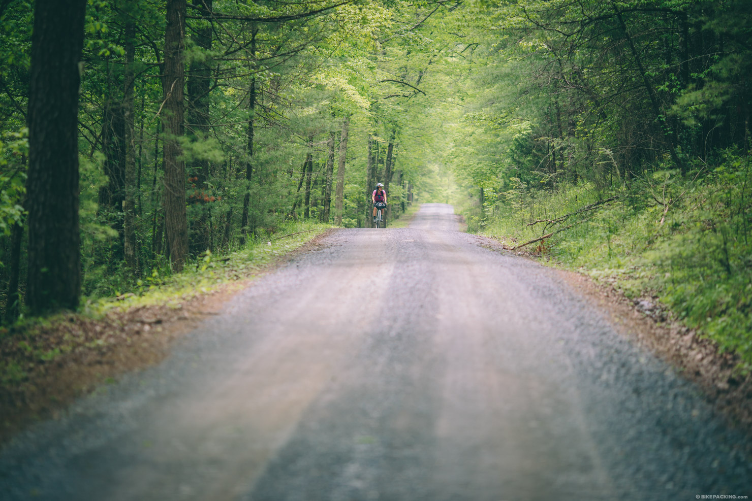
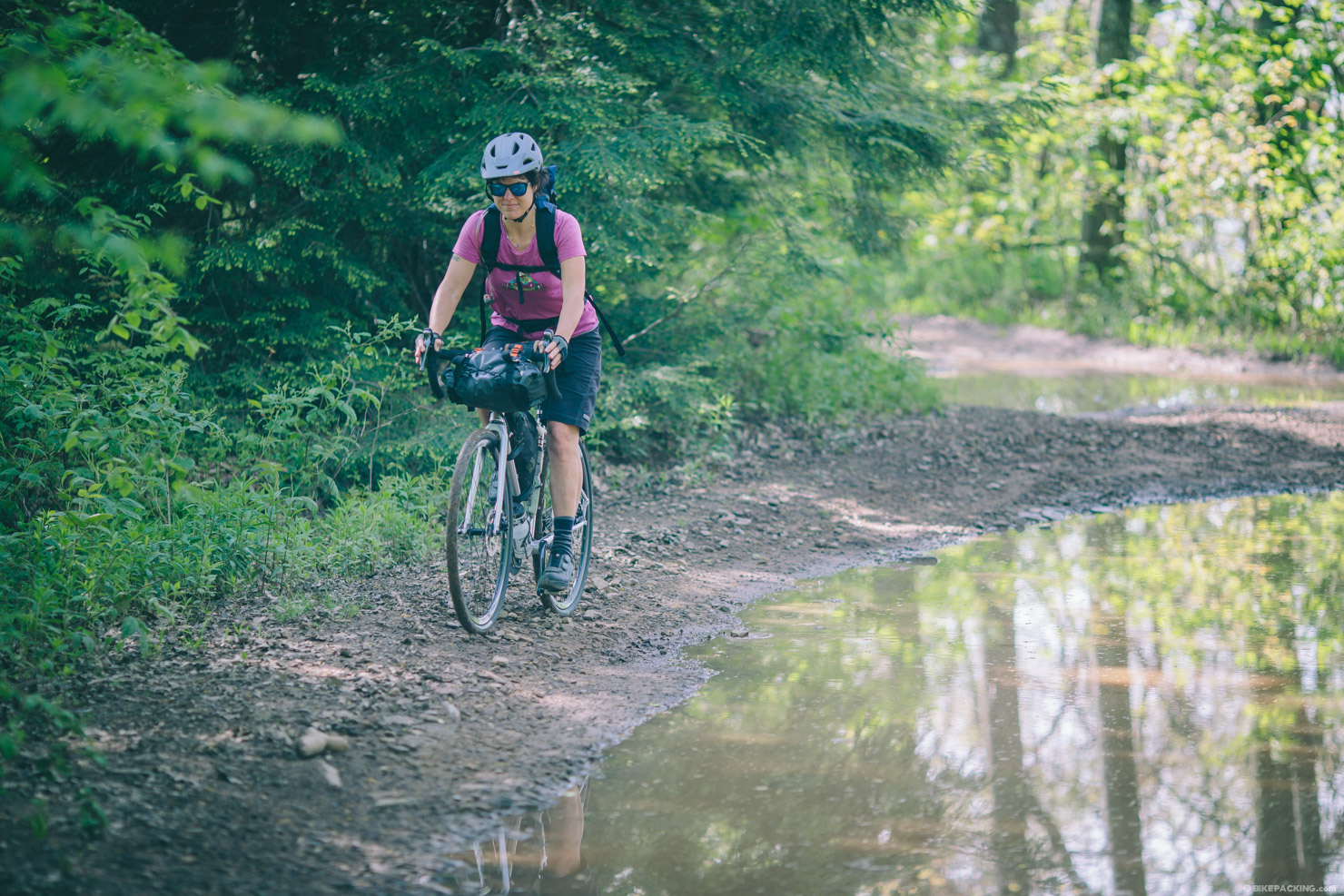
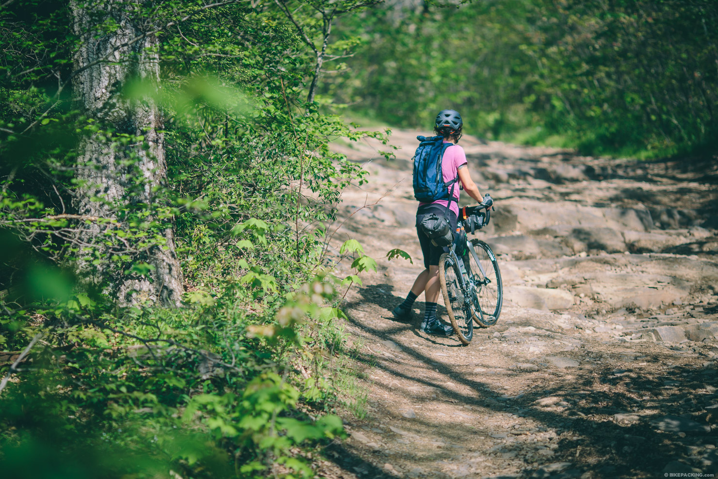
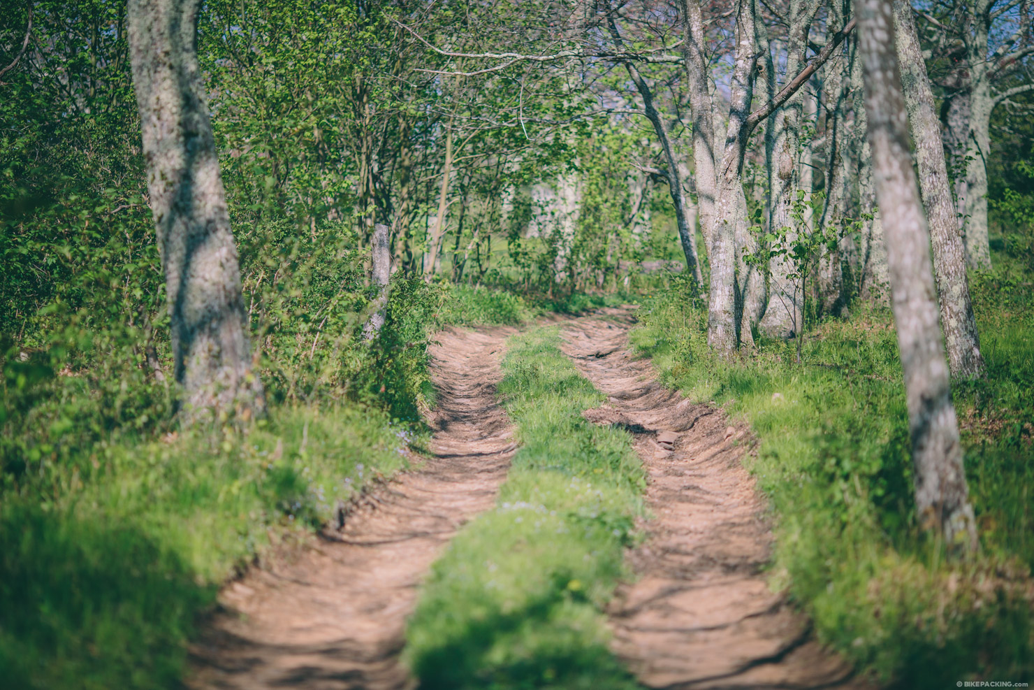
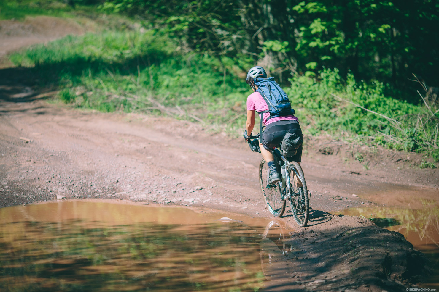
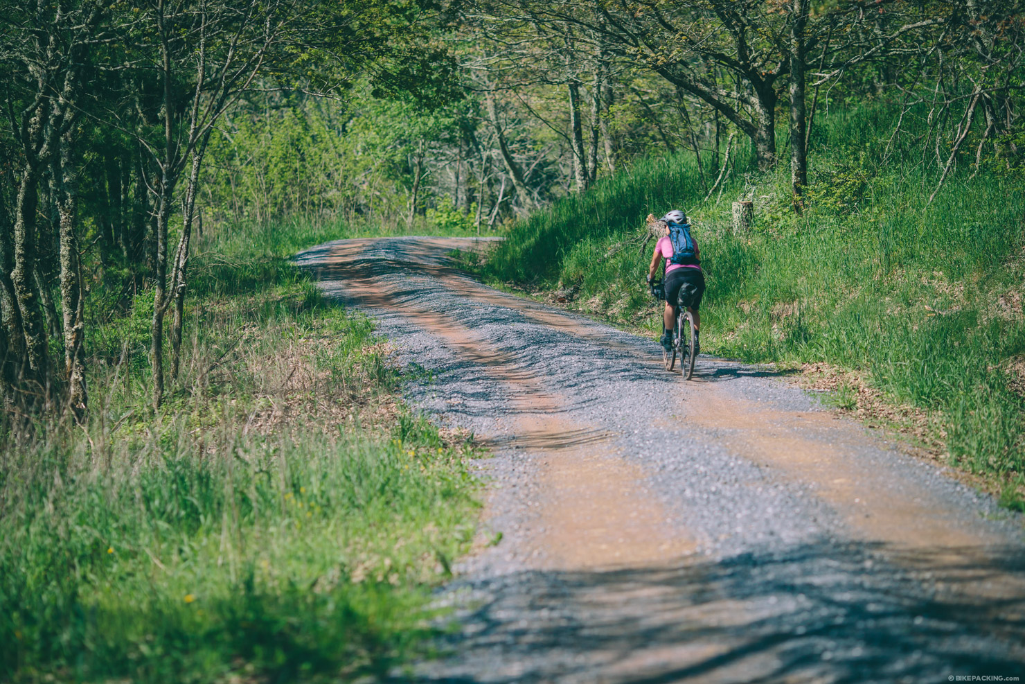
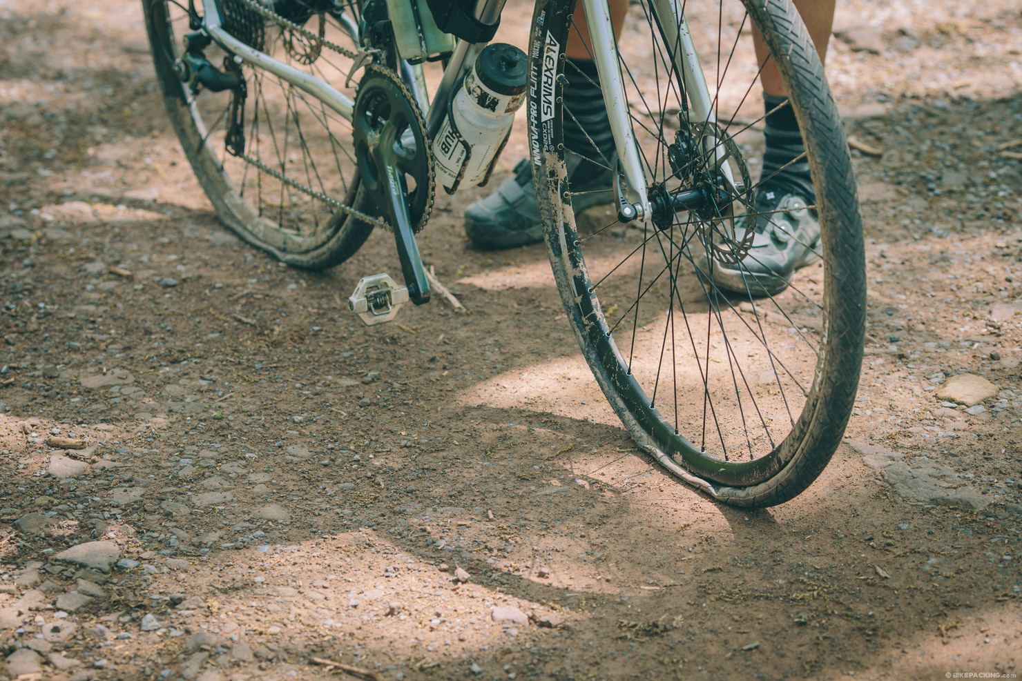
This loop was designed for gravel-style bikepacking, but it’s actually throws a couple of curve balls for skinny tire bikes. The G.W. and Jefferson National Forests are known for their rocky and rugged surfaces. Although this route features some smooth gravel and paved roadway, it has a fair share of rugged dirt roads, chunky gravel, and off-camber tracks.


Submit Route Alert
As the leading creator and publisher of bikepacking routes, BIKEPACKING.com endeavors to maintain, improve, and advocate for our growing network of bikepacking routes all over the world. As such, our editorial team, route creators, and Route Stewards serve as mediators for route improvements and opportunities for connectivity, conservation, and community growth around these routes. To facilitate these efforts, we rely on our Bikepacking Collective and the greater bikepacking community to call attention to critical issues and opportunities that are discovered while riding these routes. If you have a vital issue or opportunity regarding this route that pertains to one of the subjects below, please let us know:
Highlights
Must Know
Camping
Food/H2O
Trail Notes
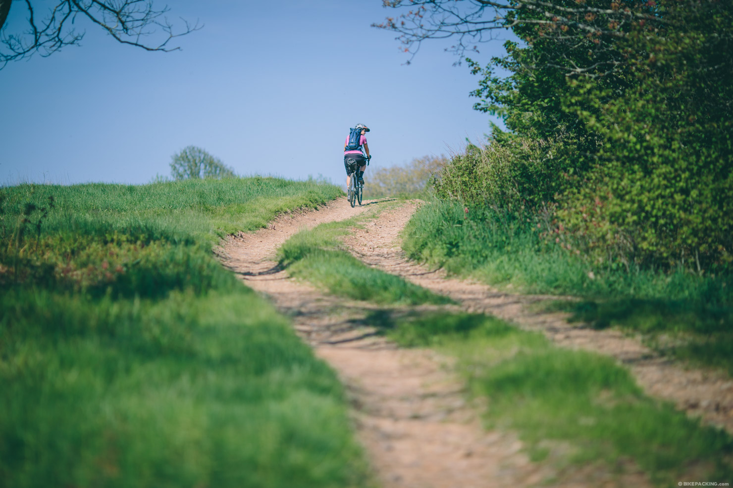
- Beautiful dirt road riding through the ridges and knobs of the Shenandoah.
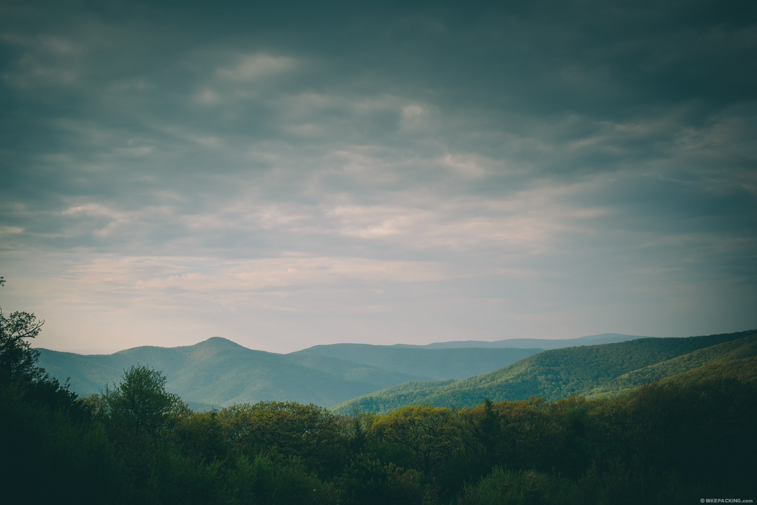
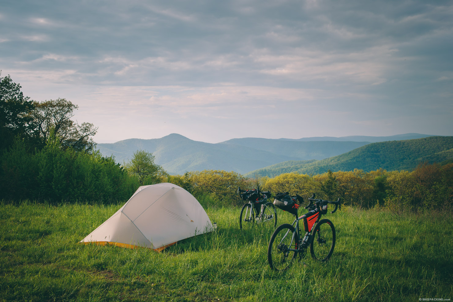
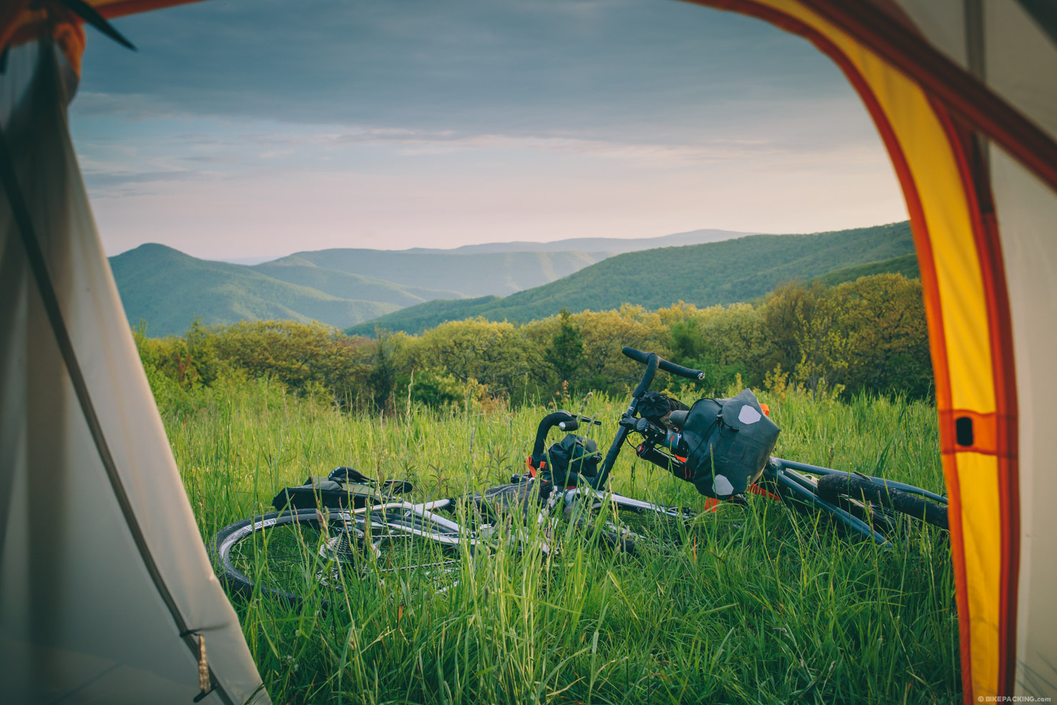
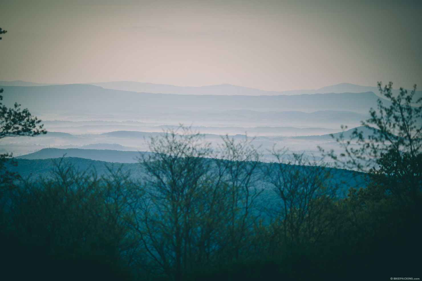
- Camping on Reddish Knob or Meadow Knob with views of the surrounding mountains.
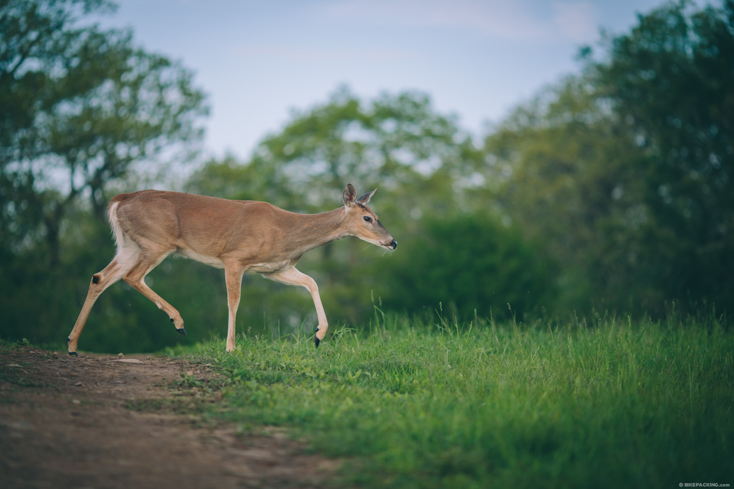
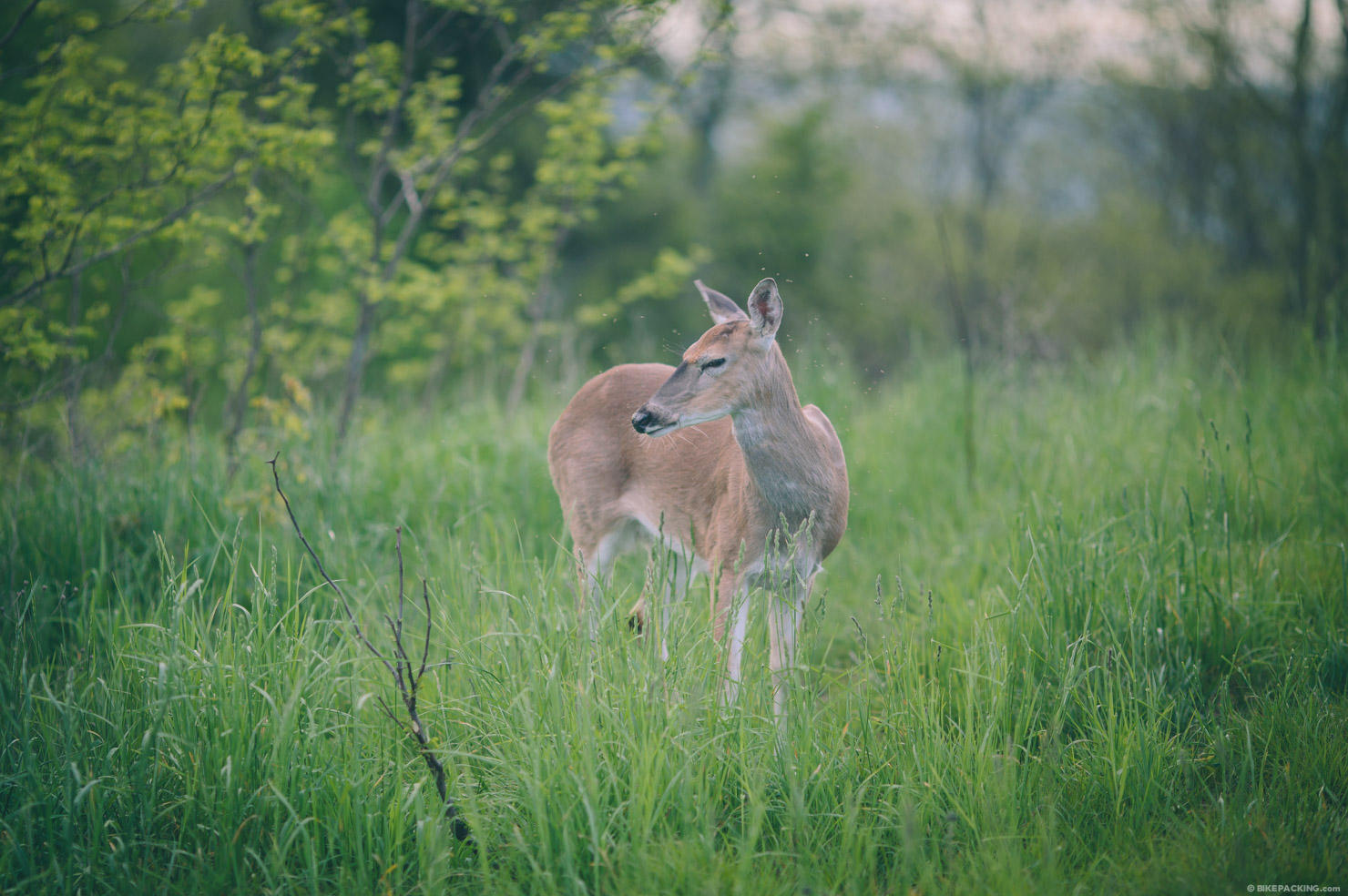
- The wildlife in the meadows; specifically deer that seem to pay you no mind as they go about their business.
- Riding alongside creeks and streams toward the beginning and end.
- The fast descent from Reddish Knob or Meadow Knob
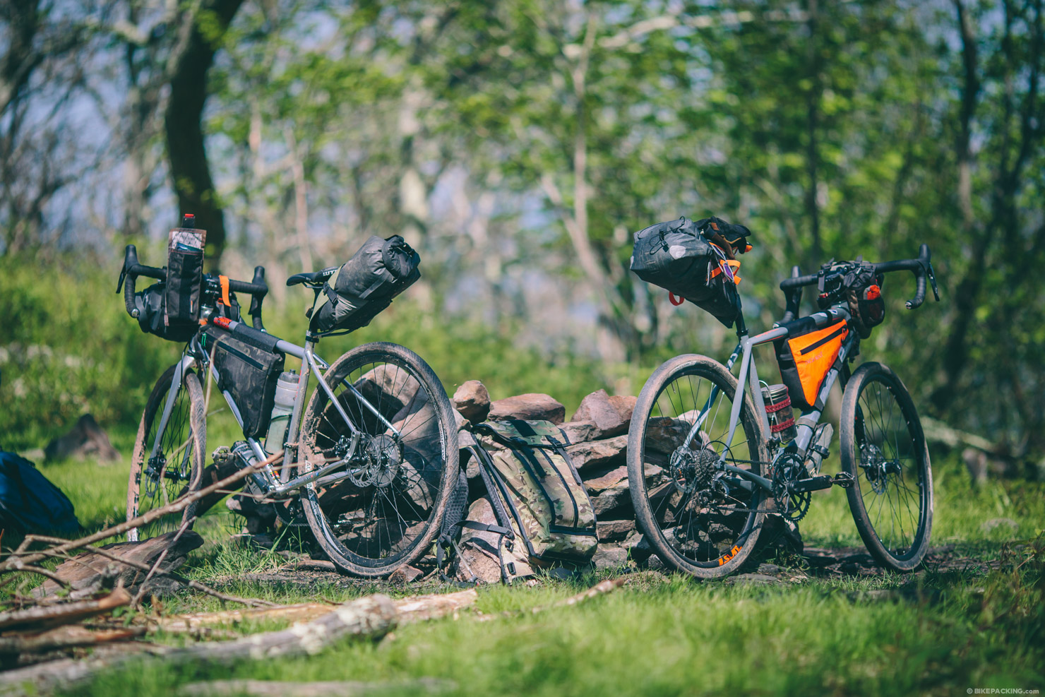
- The ideal bike: while this route was made for a gravel/all-road bike, the rugged Slate Springs dirt road might be a bit much for some folks on skinny tires; make sure to put on some big tires (42mm+).
- When to go: Spring and fall are the best times to visit; expect muggy heat in the summer and snow or ice in the winter.
- Parking: is available at several pull out spots along Tillman road, or contact the Stokesville Campground (and not the Lodge) for overnight parking. The campground – Stokesville.Campground@gmail.
com – has a $10 day use parking which includes use of the showers. Ask them to request/reserve parking in advance, please. They specialize in mountain bike touring as well, so they could be a great resource for additional routes or options; the proprietor, Chris Scott, started the Virginia Mountain Bike Trail which shares some of these dirt roads. - There are a lot of bears in this area; hang your food at night.
- The route can be ridden in either direction. Counterclockwise means a very steep ascent up to Meado Knob (which might require hiking at times, depending on your fitness). In a clockwise orientation, the climbing is a little more mellow.
- There are several options for wild camping as shown on the map above.
- Our favorite is Meadow Knob, but number two would be Flagpole Knob.
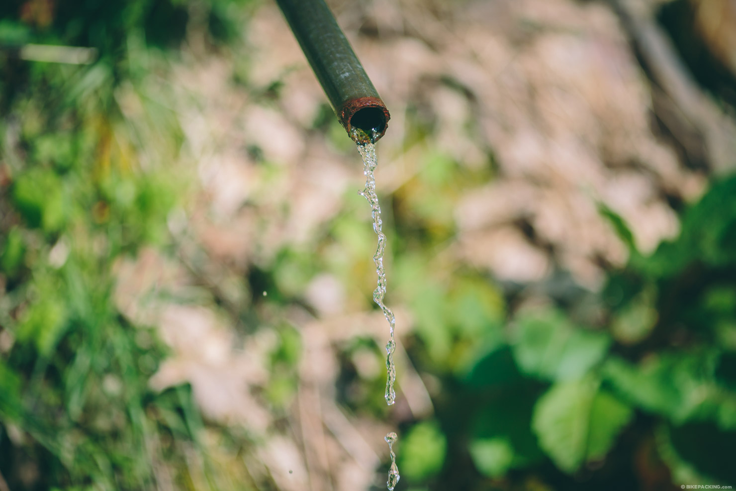
- There was a piped spring as shown on the map; we chose not to filter it and had no issues. Filter or not at your own risk.
- There are additional streams and springs through the first 20 miles and final 20 miles, but up on the ridge, it’s fairly dry.
There are several options to extend this route. One easy one that would add a solid 20 miles is an out and back to High Knob Lookout tower. You can take Dunkle Hollow Road at Mile 25.8 to Switzer Lake. Then go West on 33 and take the trail to the knob.
Another option to add big miles and a lot of altitude: Go straight at Mile 12.2 and take left on Clover Hill Road > (L) War Branch Rd > (R) Hughes Ln > (L) Peake Mountain Rd/Merge Hopkins Gap > (L) Long Run > (L) Hall Spring > (L) 33 > (R) Skidmore Fork/Dunkel Hollow… rejoin route at Slate Springs Rd. While I’ve ridden Hall Spring, I can’t vouch for the quality of Long Run Road.


Terms of Use: As with each bikepacking route guide published on BIKEPACKING.com, should you choose to cycle this route, do so at your own risk. Prior to setting out check current local weather, conditions, and land/road closures. While riding, obey all public and private land use restrictions and rules, carry proper safety and navigational equipment, and of course, follow the #leavenotrace guidelines. The information found herein is simply a planning resource to be used as a point of inspiration in conjunction with your own due-diligence. In spite of the fact that this route, associated GPS track (GPX and maps), and all route guidelines were prepared under diligent research by the specified contributor and/or contributors, the accuracy of such and judgement of the author is not guaranteed. BIKEPACKING.com LLC, its partners, associates, and contributors are in no way liable for personal injury, damage to personal property, or any other such situation that might happen to individual riders cycling or following this route.
Please keep the conversation civil, constructive, and inclusive, or your comment will be removed.