


Oregon Timber Trail
Distance
688 Mi.
(1,107 KM)Days
25
% Unpaved
98%
% Singletrack
78%
% Rideable (time)
90%
Total Ascent
69,238'
(21,104 M)High Point
8,320'
(2,536 M)Difficulty (1-10)
8?
- 7Climbing Scale Strenuous101 FT/MI (19 M/KM)
- -Technical Difficulty
- -Physical Demand
- -Resupply & Logistics
Contributed By
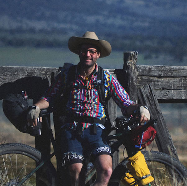
Gabriel Amadeus
Limberlost
Route updated February 2024
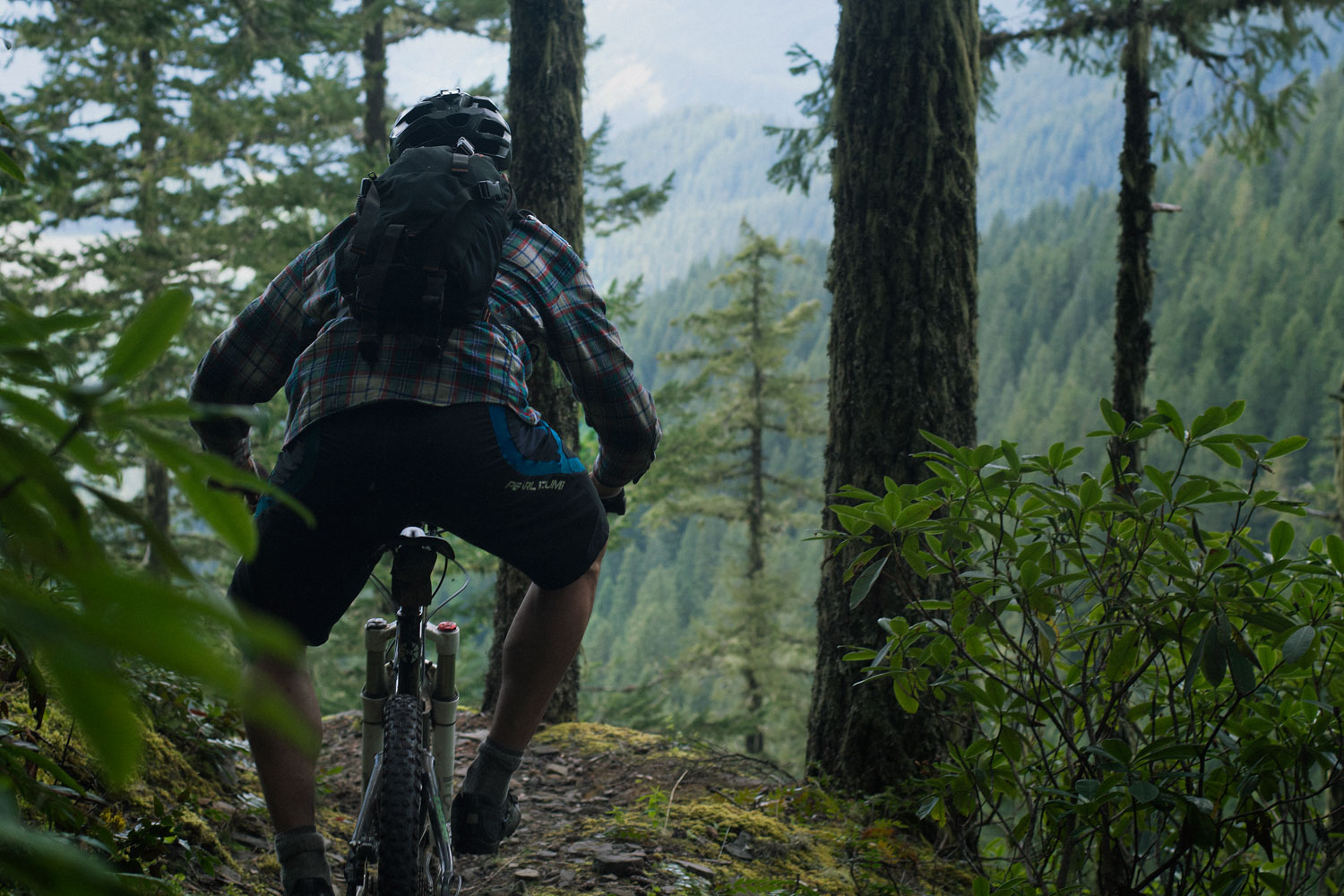
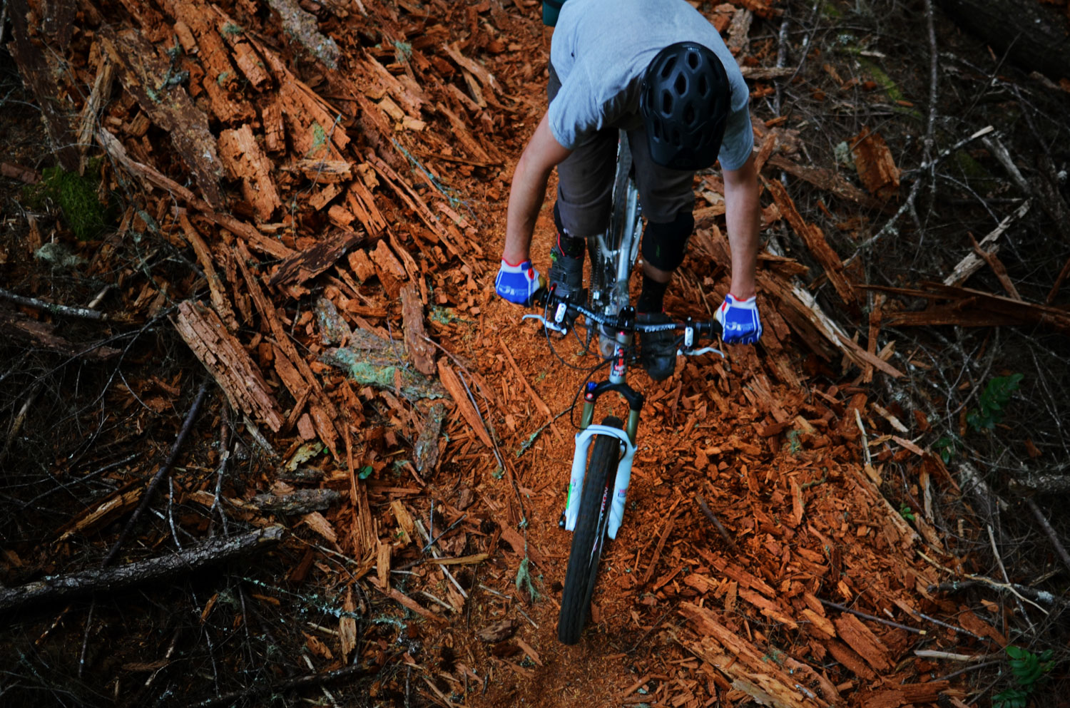
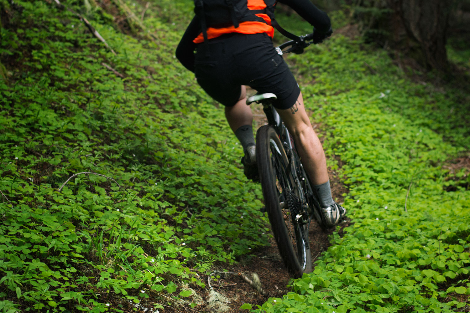
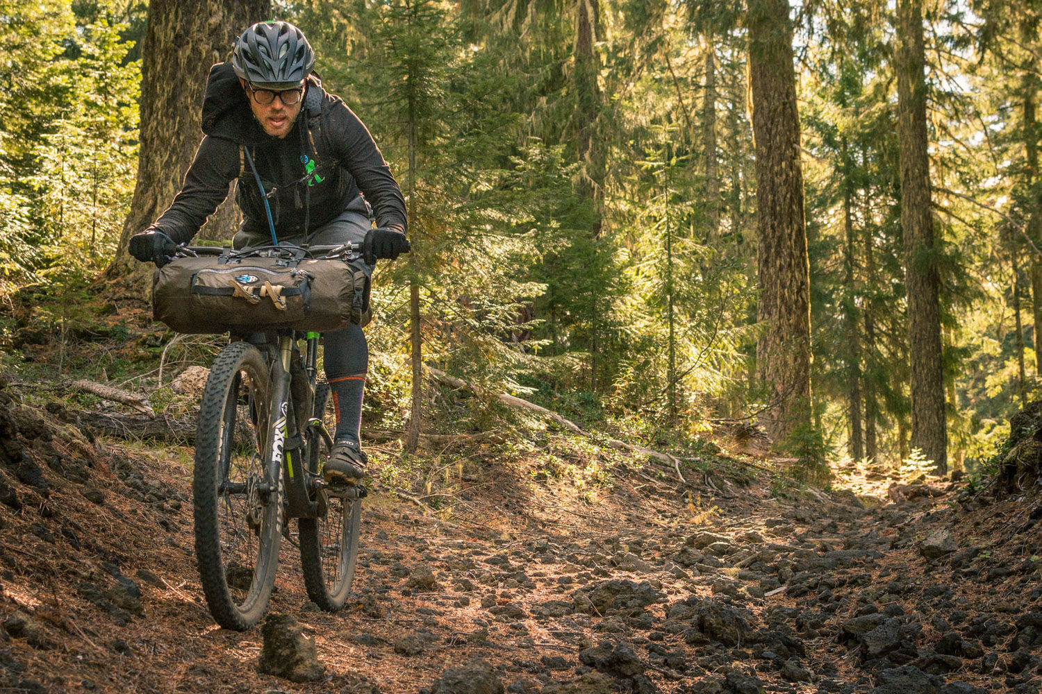
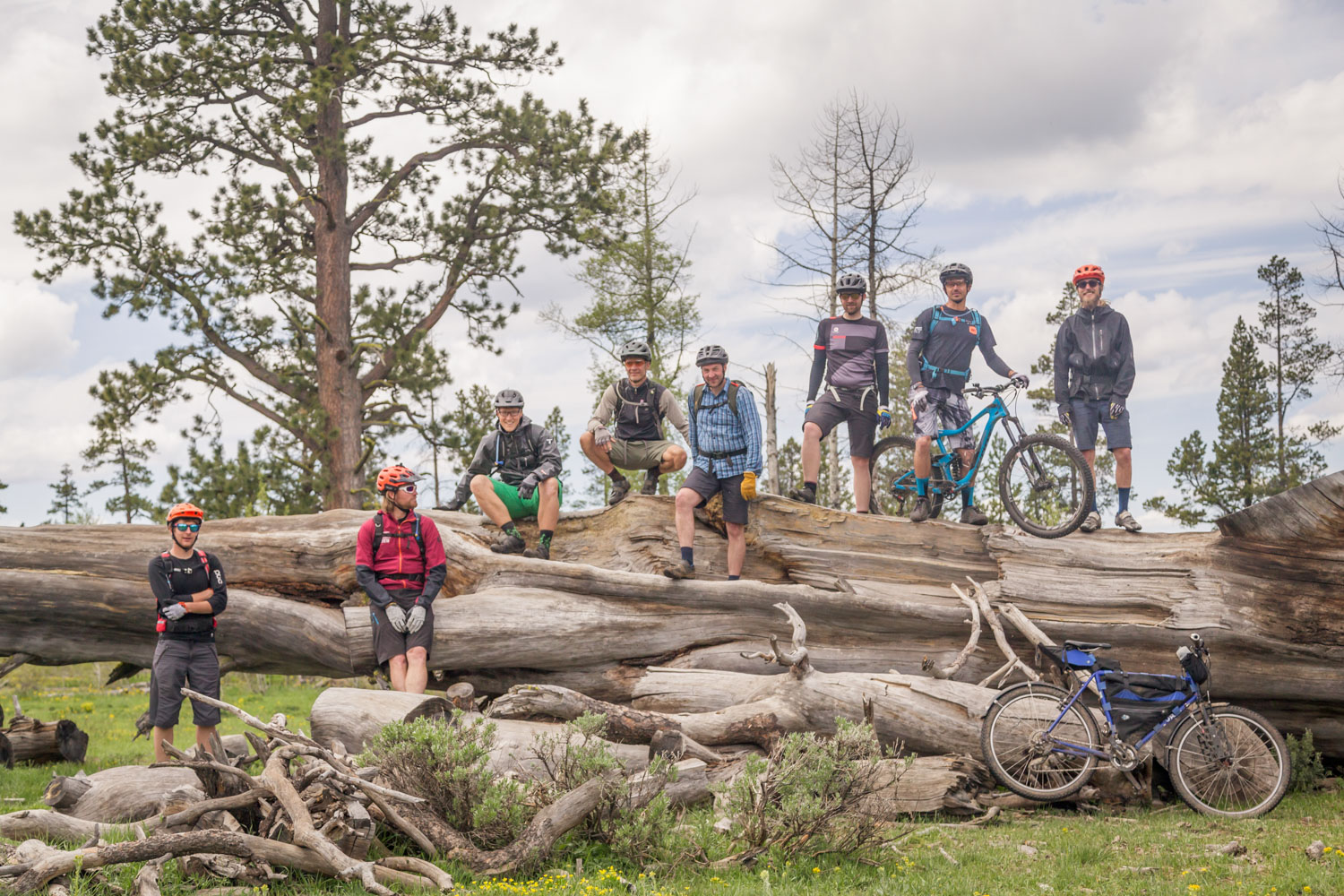
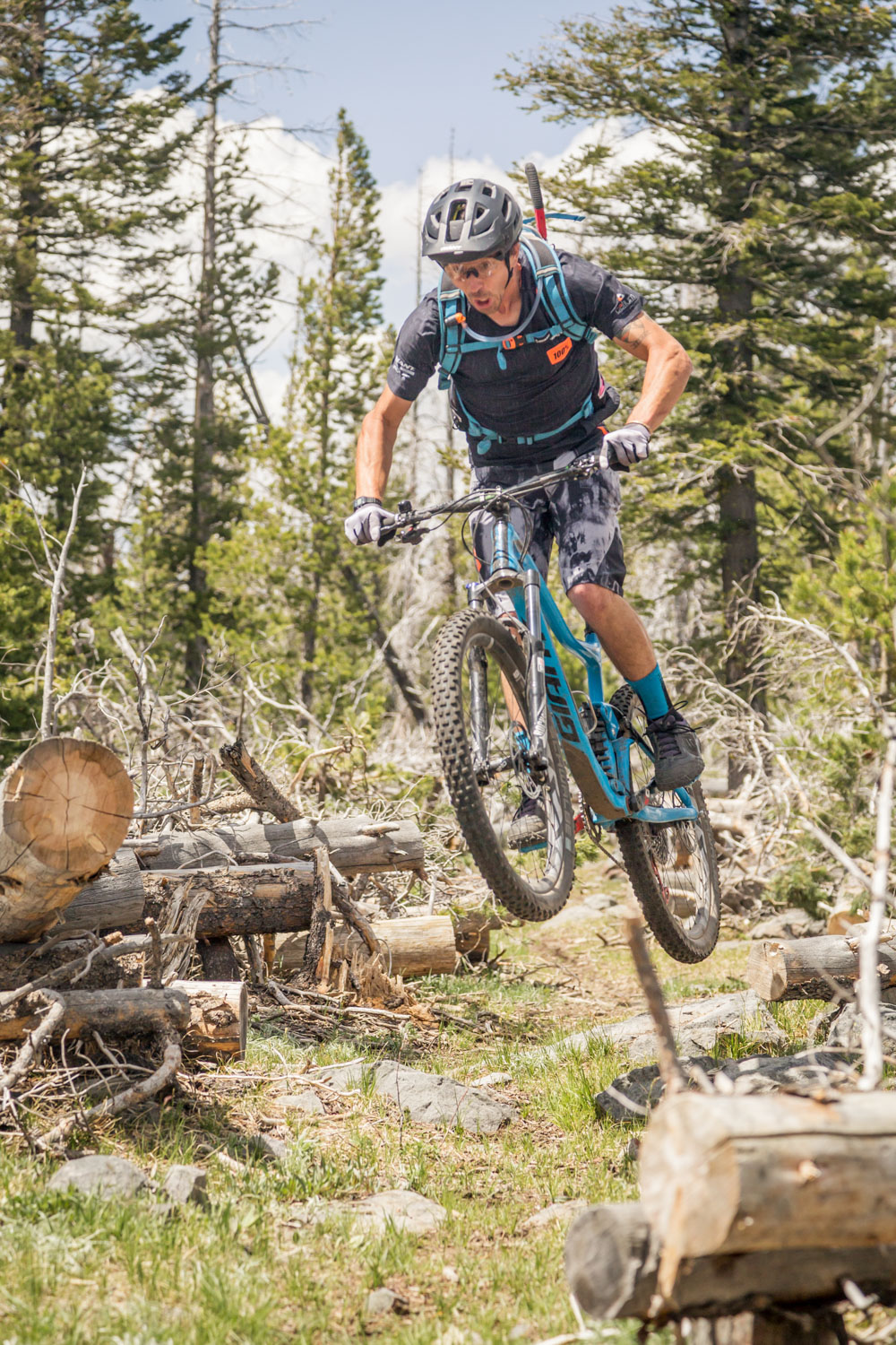
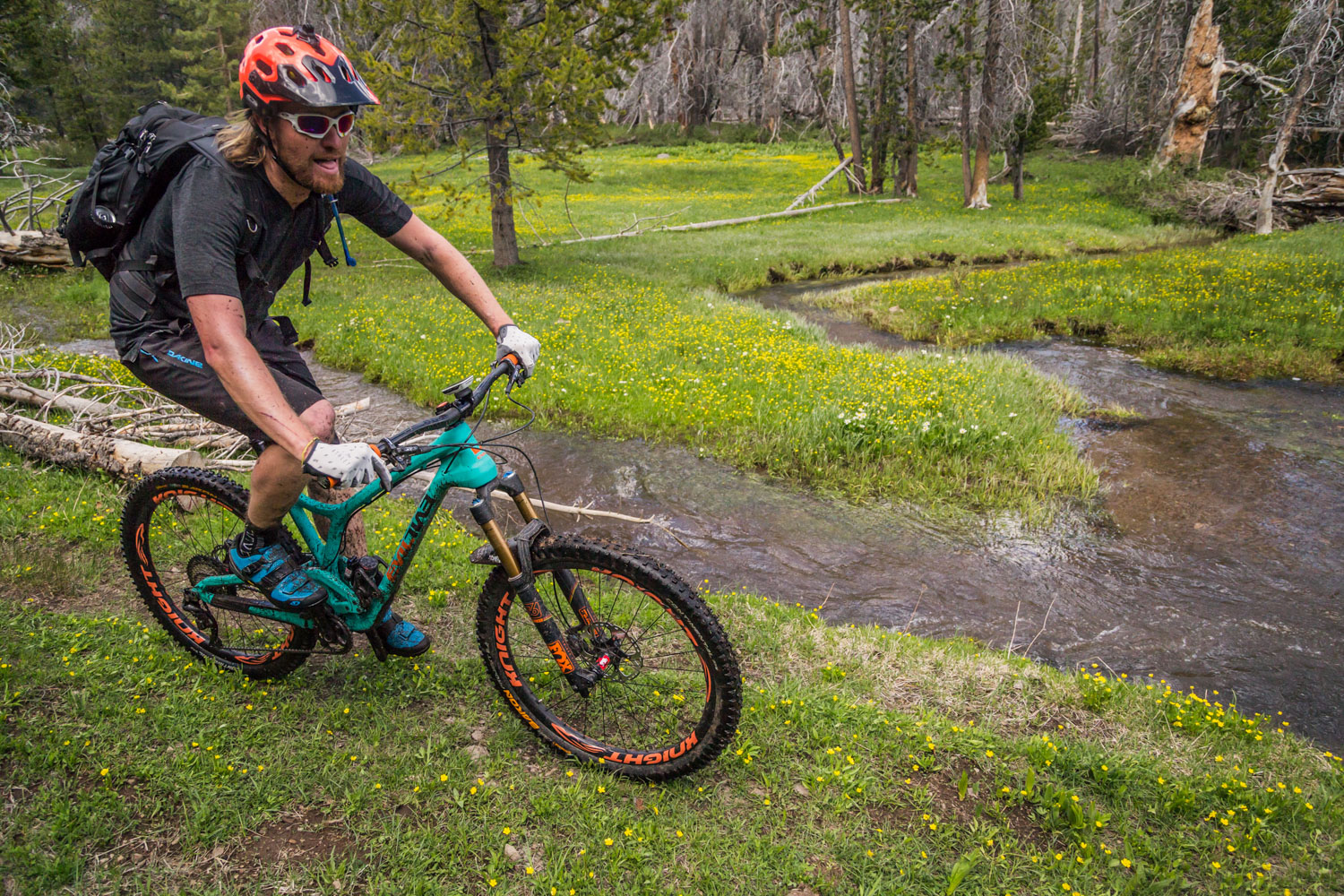
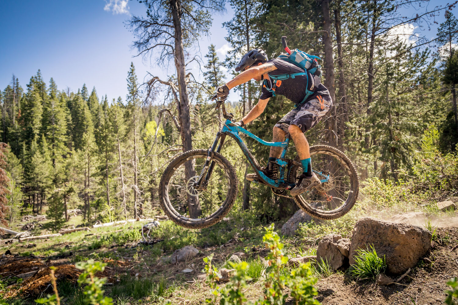
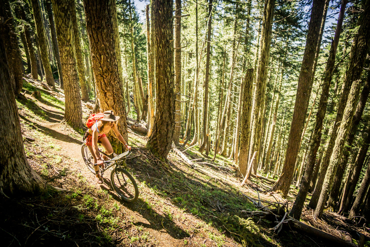
The Oregon Timber Trail is a world-class bikepacking destination and North America’s premiere long-distance mountain bike route. Divided into four unique tiers, the Oregon Timber Trail is approachable by a wide variety of cyclists. If it sounds familiar, you’re not mistaken: the Oregon Timber Trail is inspired by the Pacific Crest Trail and other trails in the National Scenic Trail system. What sets it apart is that it’s designed with mountain biking in mind and consists of more than 70 percent singletrack.
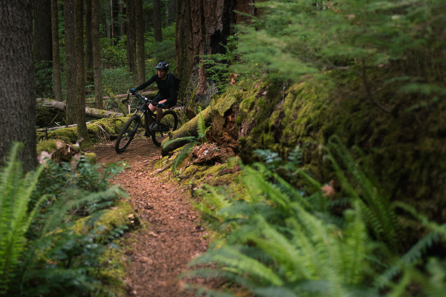

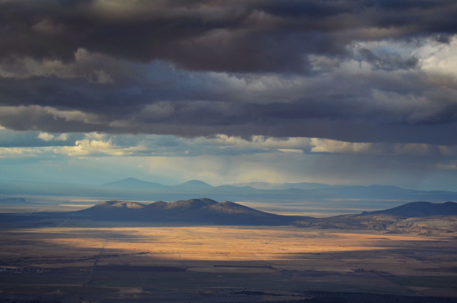
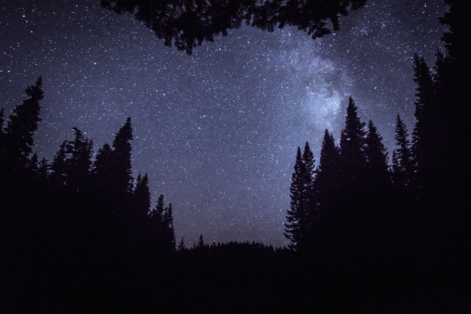
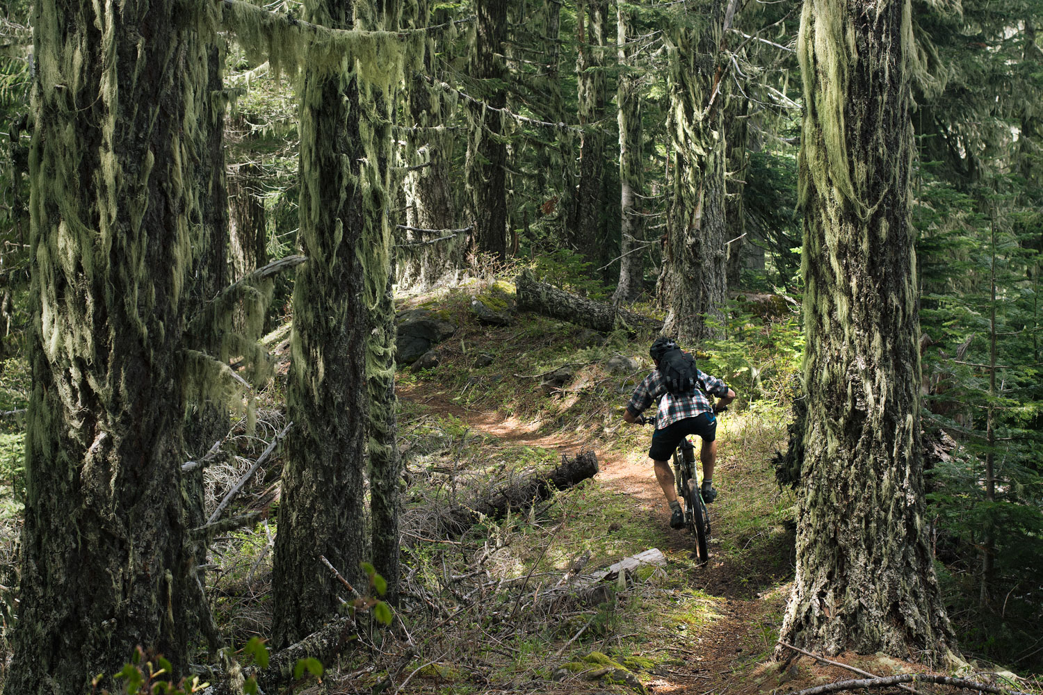
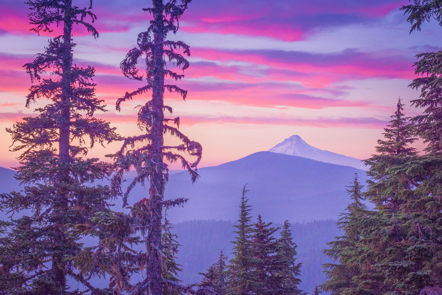
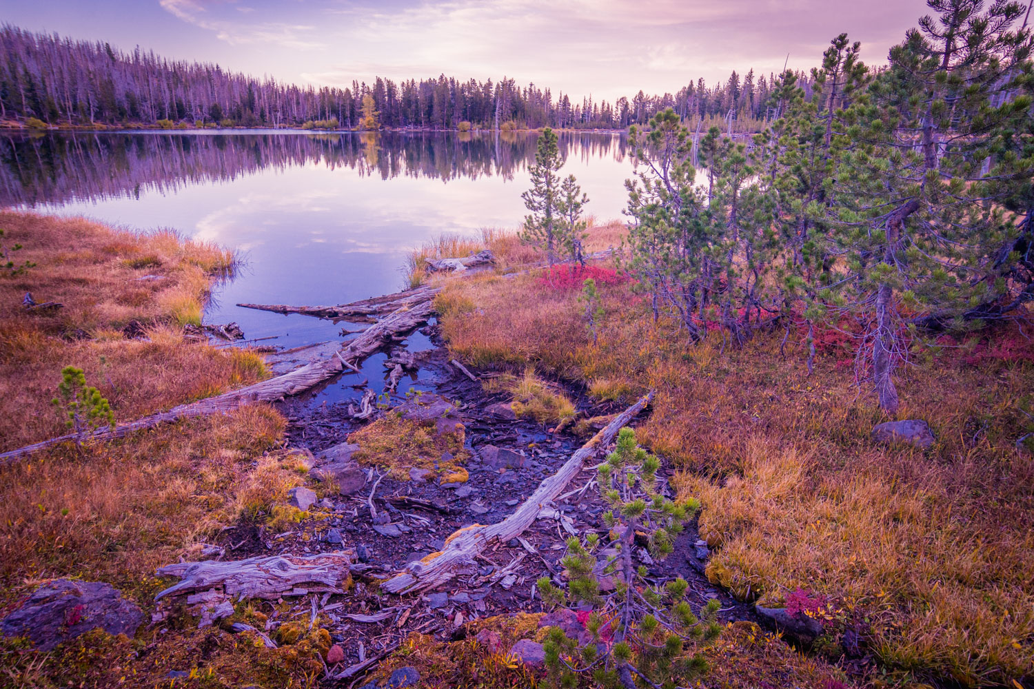
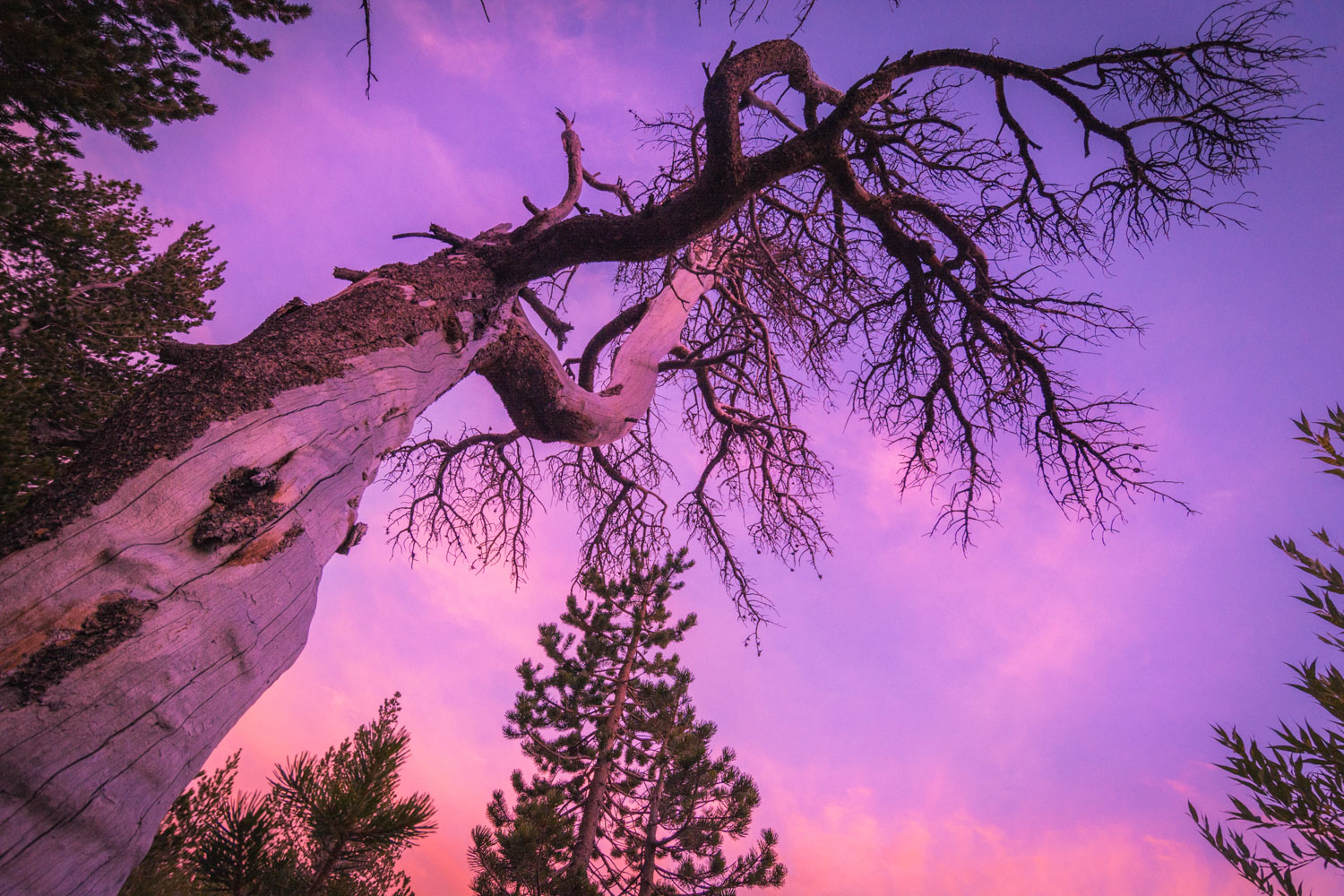
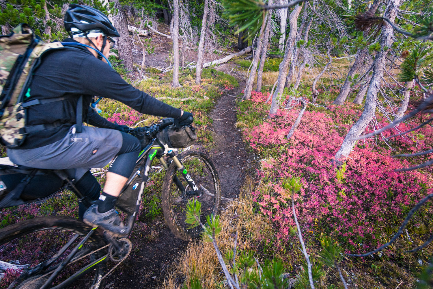
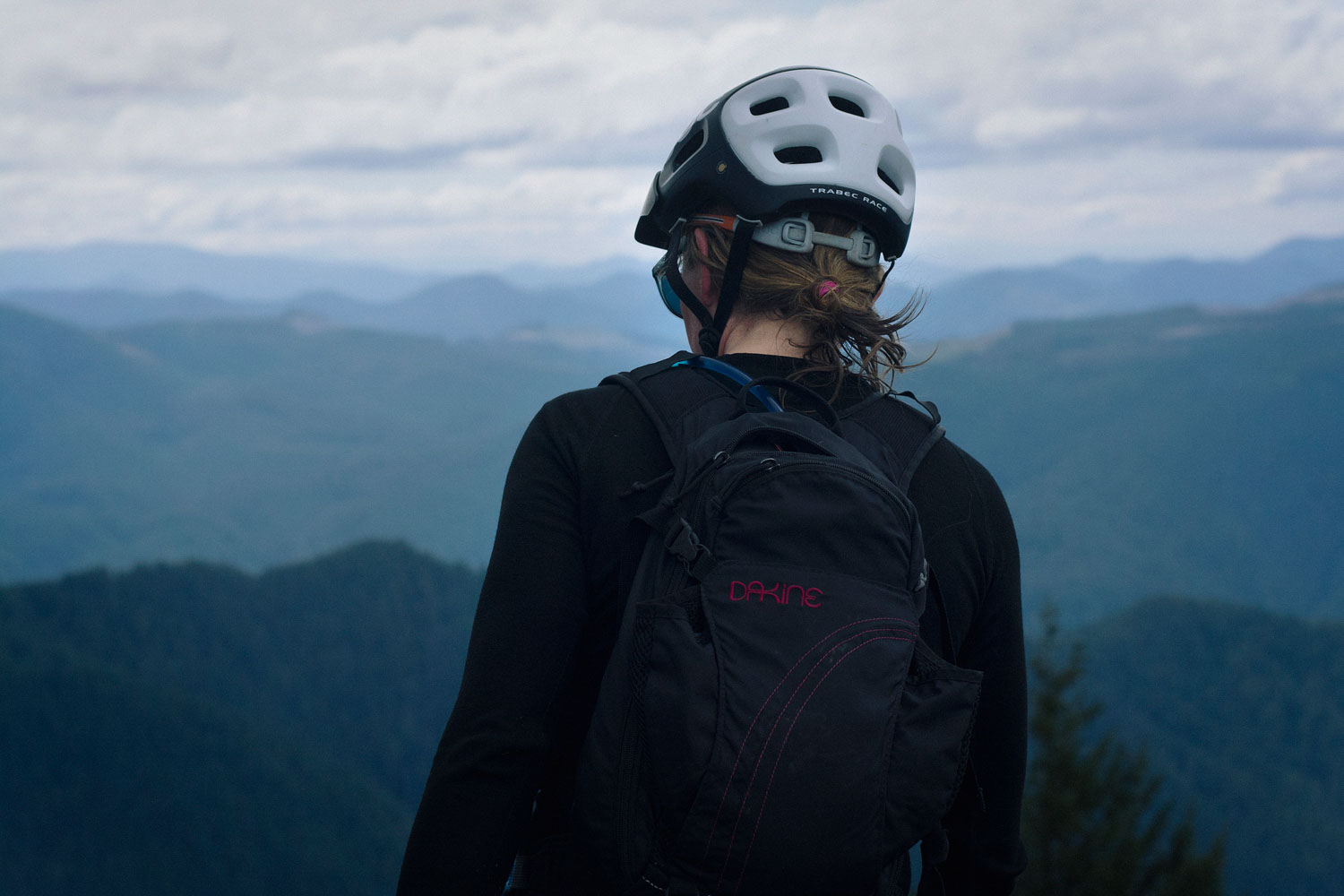
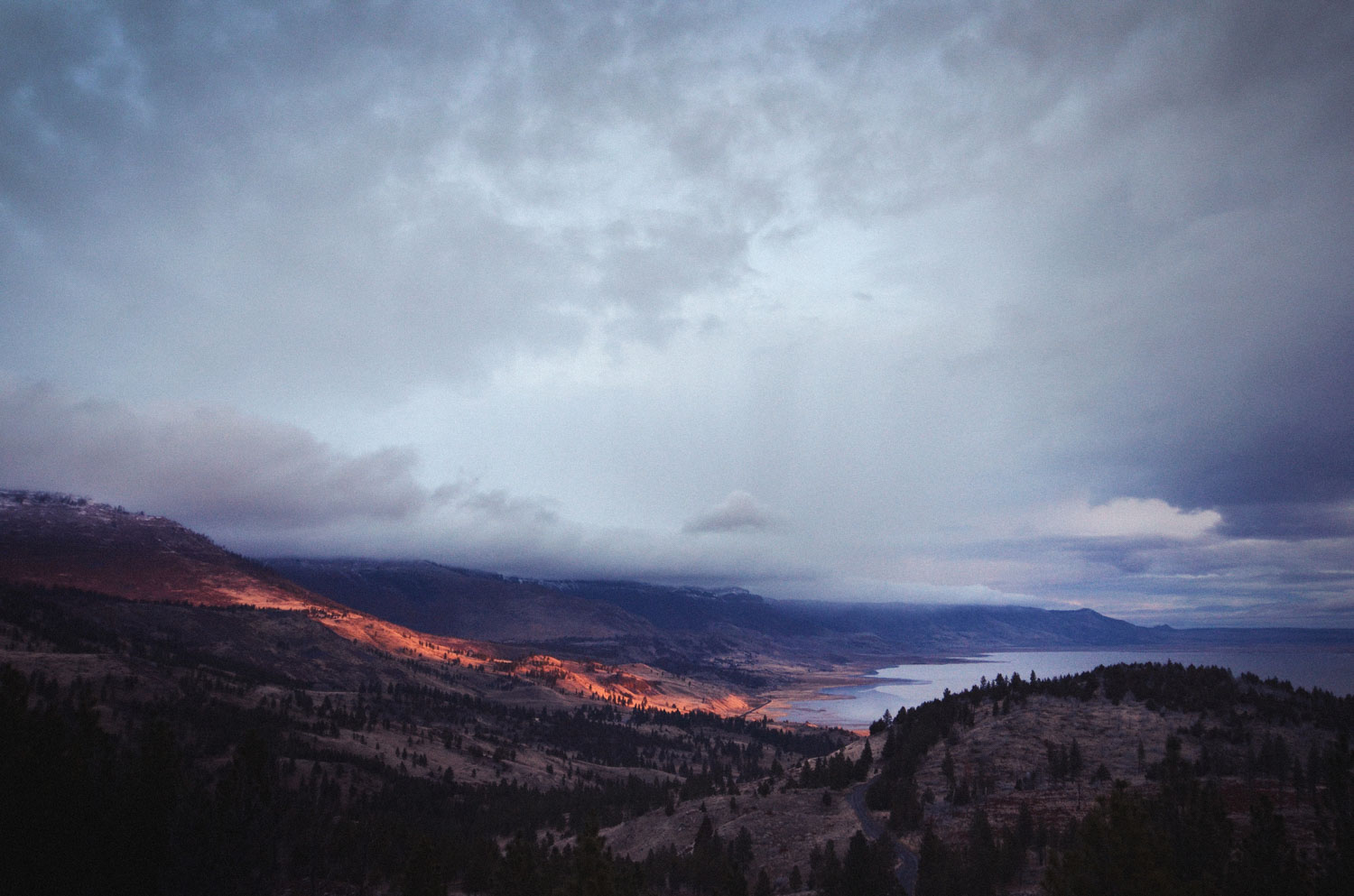
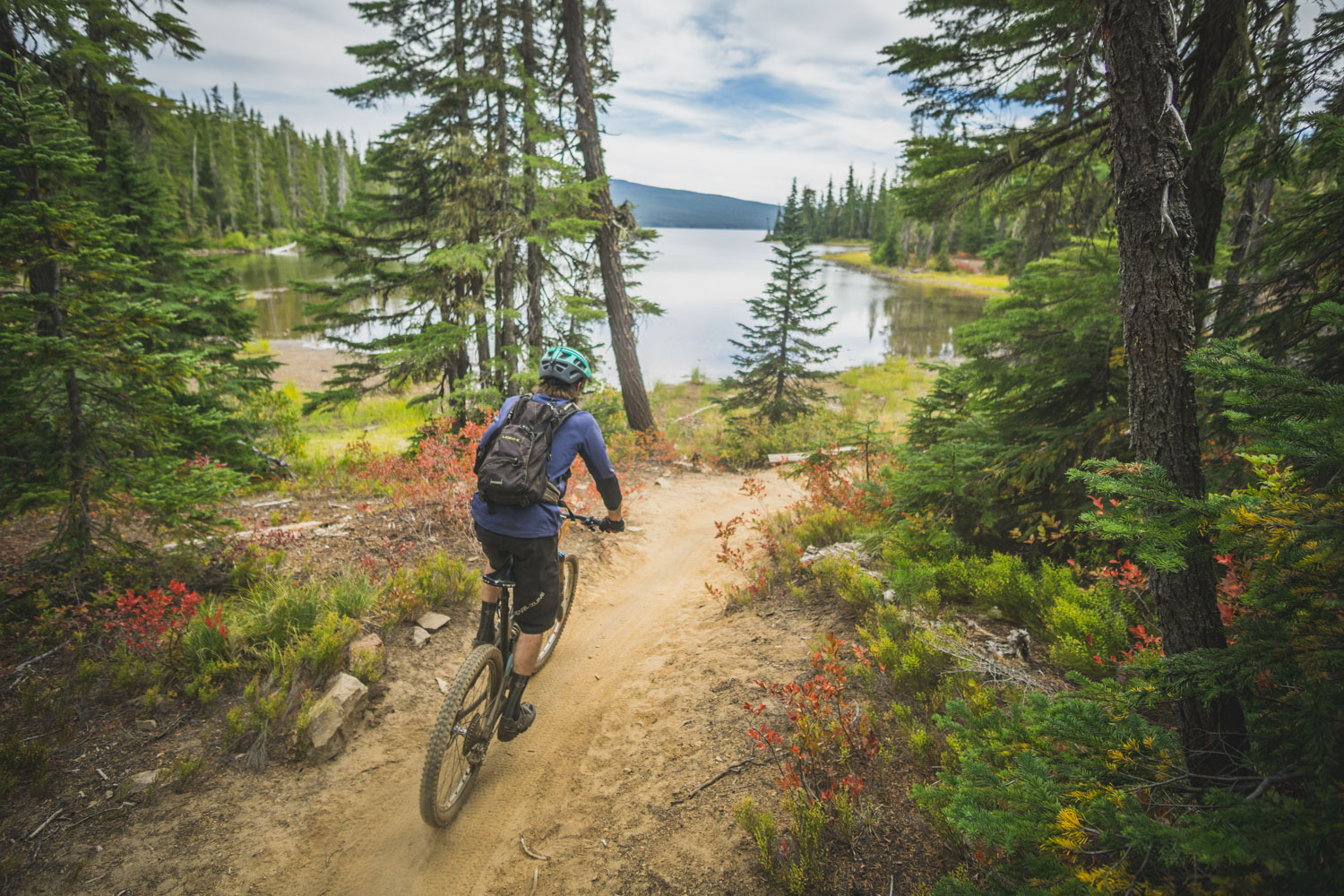
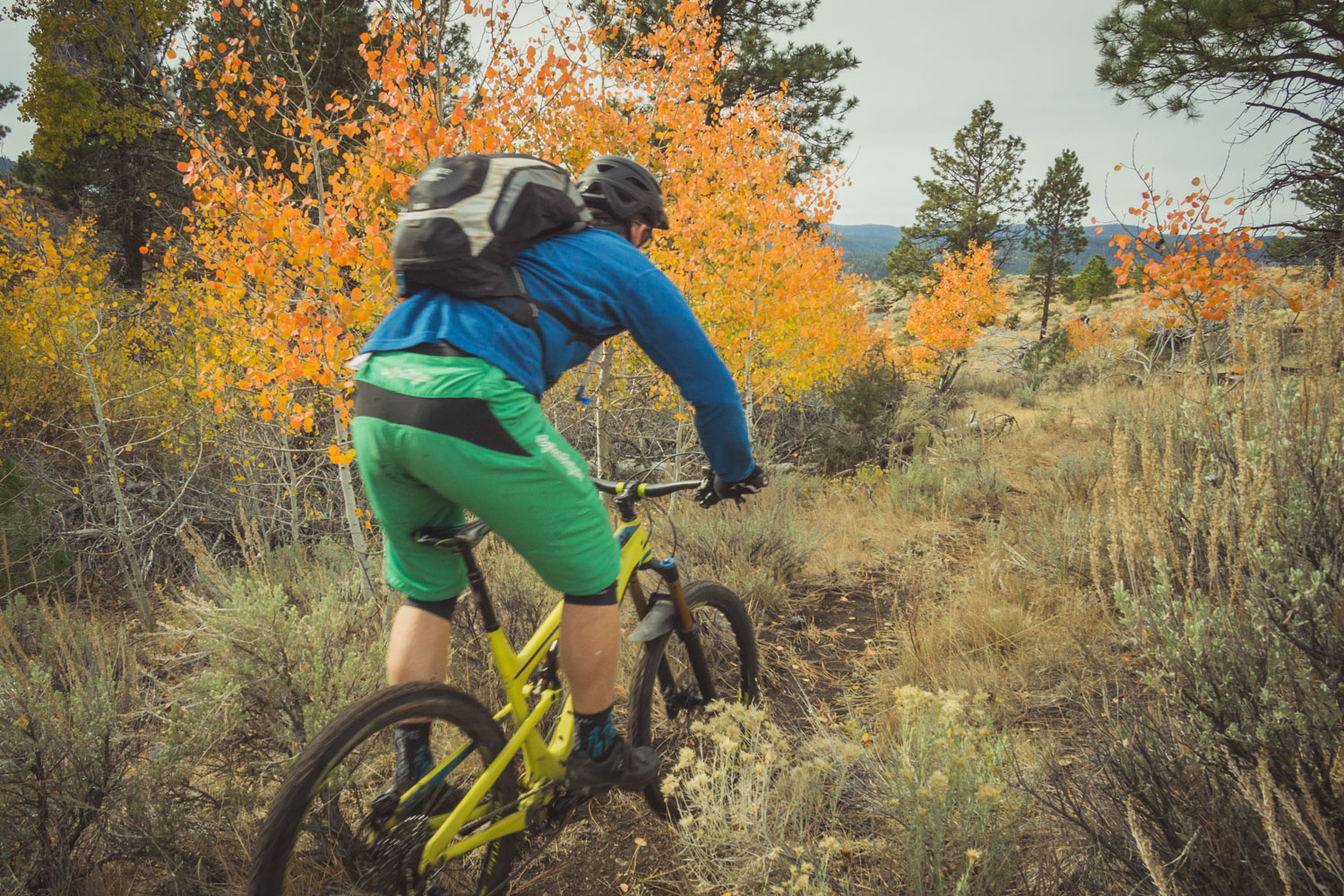
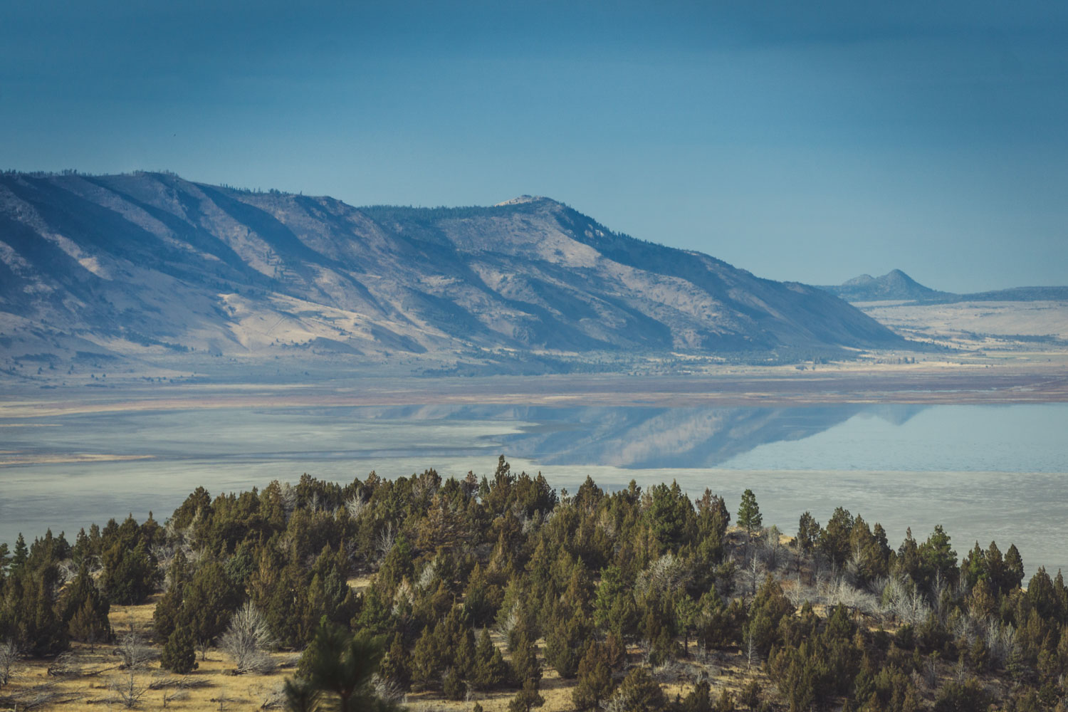
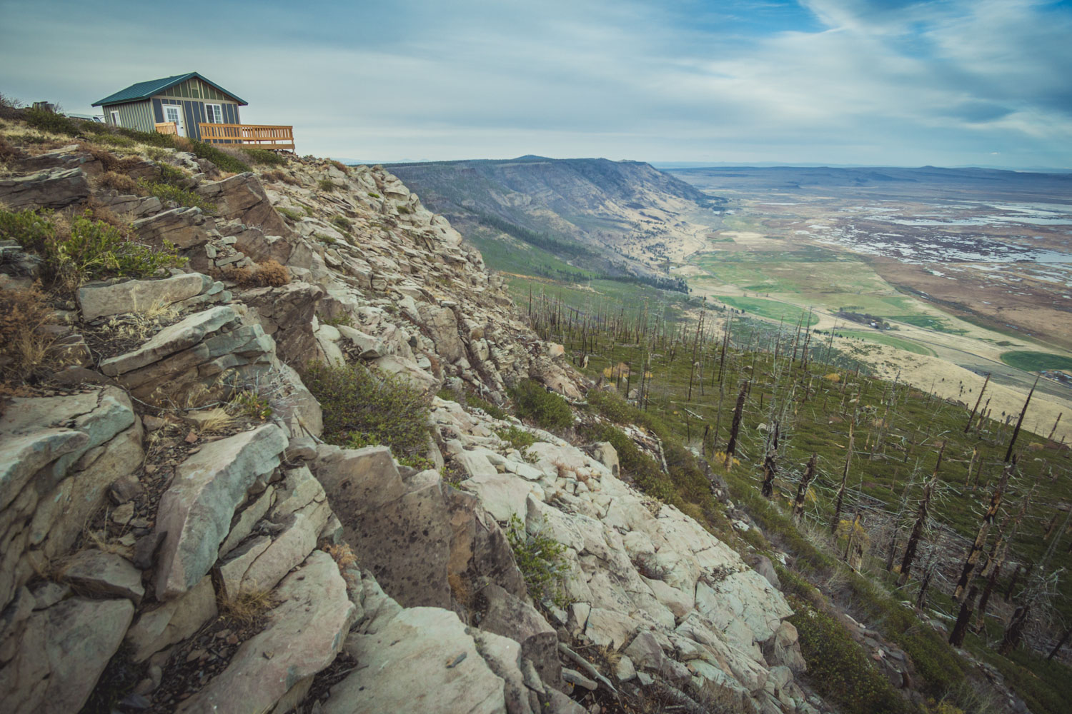
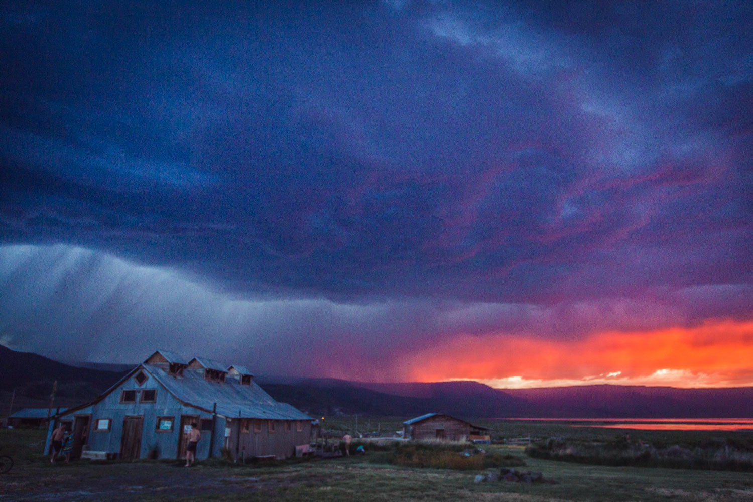
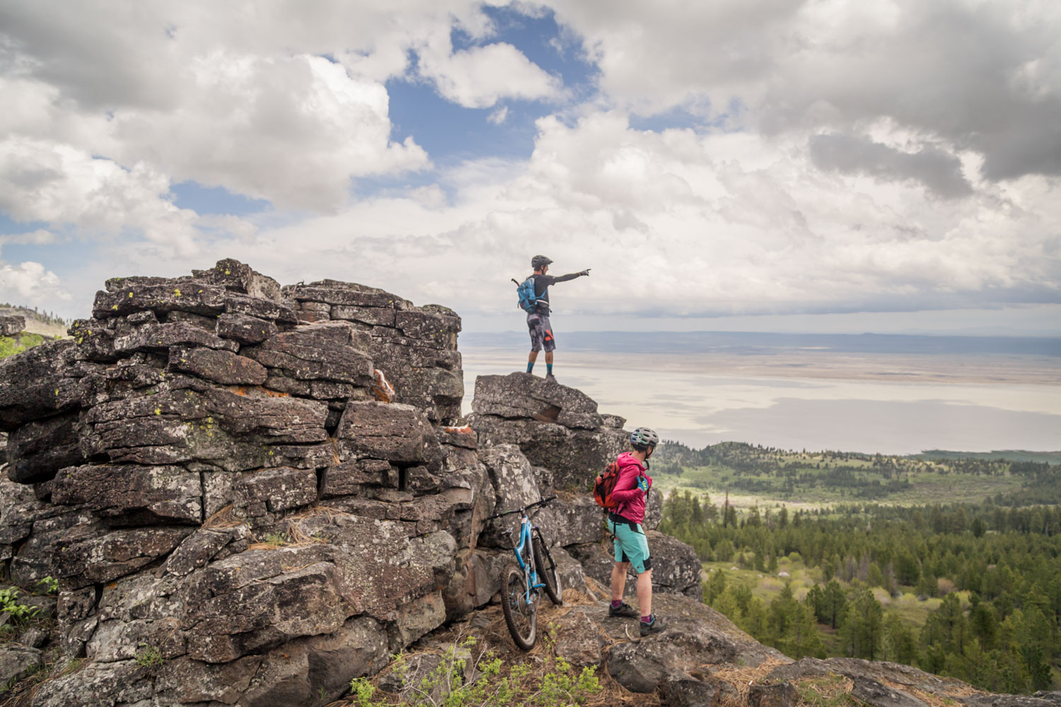
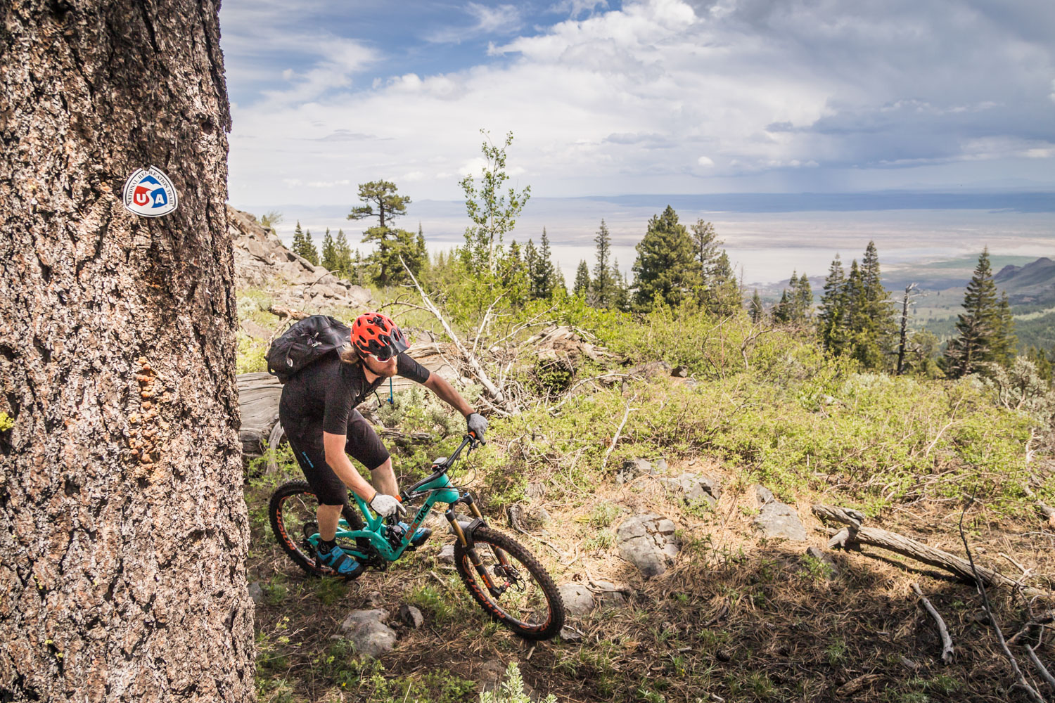
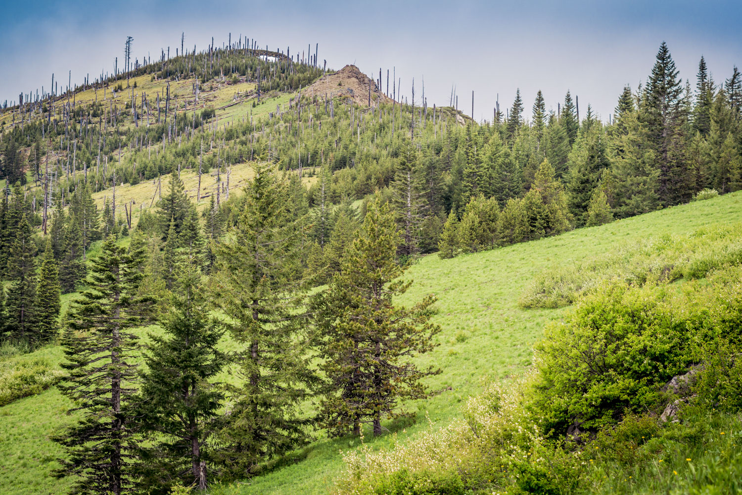
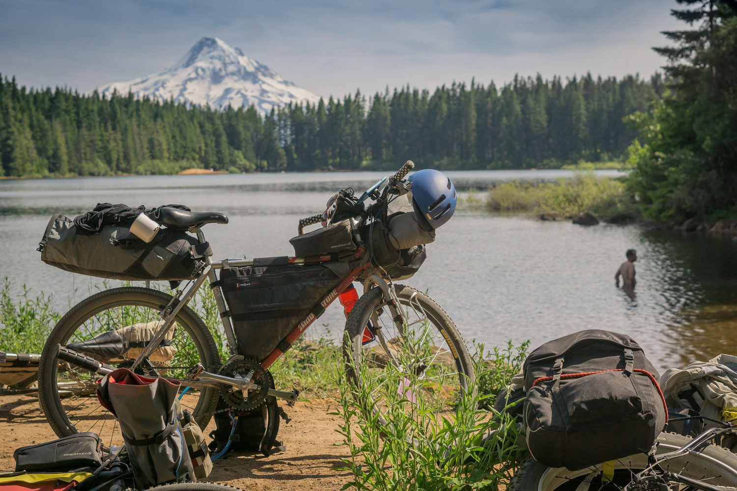
Riders depart the California border and start their journey north just outside of Lakeview — the highest town in Oregon. Within the first ten miles the route crests 8,000 feet and continues north along the Fremont National Recreation Trail through little-traveled basin and range country. The riding is rugged, dry singletrack and the grandiose vistas of faraway Mt Shasta, the Three Sisters, and the giant Fort Rock Basin are keen on distracting one’s eyes away from the trail. As the route meanders through loose volcanic blowout from the massive Mount Mazama eruption the landscape slowly begins to change. Lakes and streams start appearing, and then as you crest the spine of the Cascades at Timpanogas Lake the forests shift dramatically from dry tan open forests to dank green towering groves. You’ll follow the faint gurgling streams as they come together and merge into the Middle Fork of the Willamette River leading you to the mountain biking mecca of Oakridge. Roughly halfway, and one of the largest towns on the route, Oakridge is a great place to treat yourself to some cask ale at the Brewers Union Local 180, a clean bed and shower at one of the lodges, or even a day of unloaded shuttles on some of the legendary trails in the area.
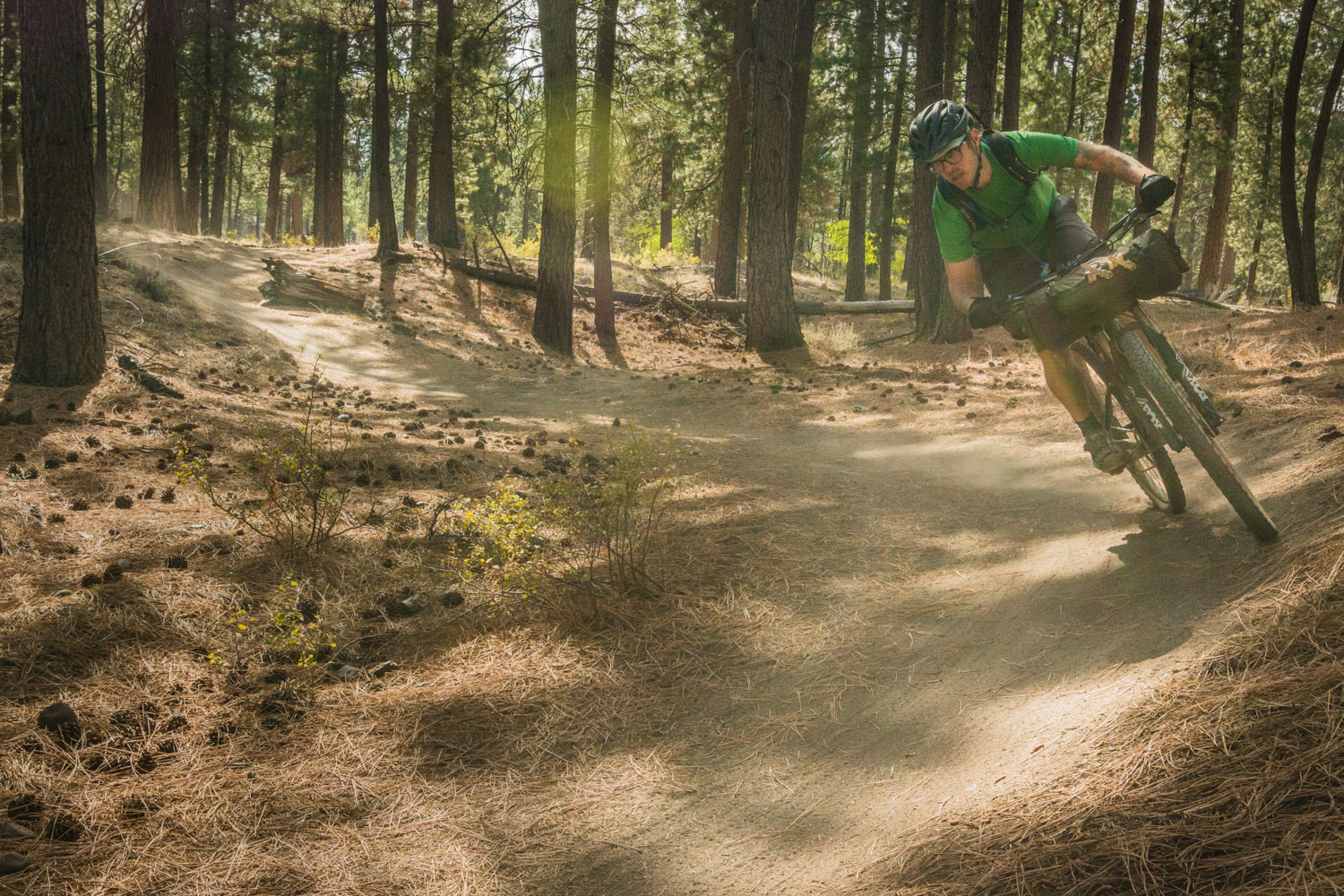
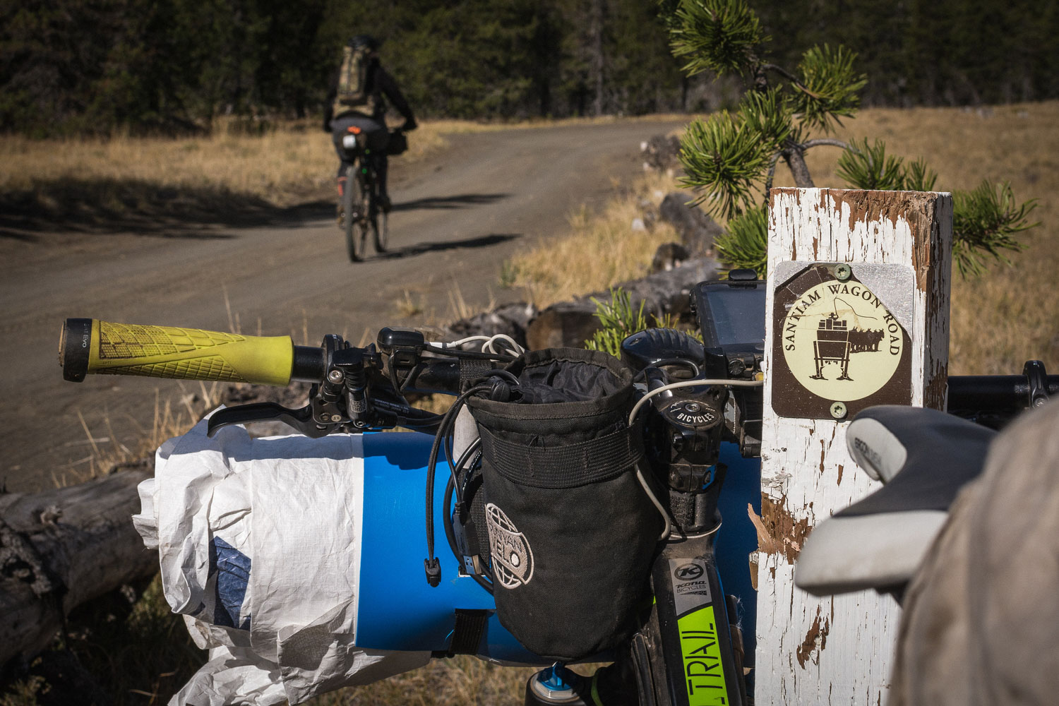
Once well-fed and rested, you begin the ascent of Bunchgrass Ridge through majestic old growth groves and alpine beargrass meadows. Eventually you descend the slopes of Fuji Mountain, crossing the Cascades a second time, and enter the Deschutes Tier. These high cascade lakes and peaks are the work of relatively recent and dramatic volcanic activity that created a rocky, sandy, and dry alpine environment. After circling Mount Bachelor and camping in the shadow of the Three Sisters you descend into Sisters and cross over the range once again along the historic Santiam Wagon Road. Say goodbye to open ponderosa forests as you enter the rollercoaster of the Old Cascade Crest and Olallie Lakes exploring lush ridges, pocket lakes and roaring streams all dominated by Mount Jefferson looming to the east. The trails are steep, narrow and demanding. As you continue north, Mount Hood steals your attention away as Jefferson recedes behind you. The trails loop around lakes and old forest camps while slowly leading you up Gunsight Ridge, prepping you for your final descent along Surveyor’s Ridge and towards Hood River via Parkdale and the Post Canyon trail system. Dip your tires in the Columbia River, lay in the grass, and buy yourself a beer and burger—you just rode your mountain bike across the whole state.
Route Development
The Oregon Timber Trail has been in development since 2015 and has interfaced with over one hundred stakeholders from the US Forest Service, dozens of trail groups, the conservation community, tourism representatives, elected officials, and local trail experts. It’s a work in progress and updates to the guide and route alignment will be made each year. The Oregon Timber Trail Alliance was founded in 2017 with four key tenets—Stewardship of forgotten trails and and fallow public lands, Education of the trail’s users about the landscape, history, and sensitive or threatened areas, engagement with the Communities along the route and how active recreation—especially bicycling—can be a huge boon for rural economies, and lastly a focus on Experience and how our organization is dedicated to maintaining and improving our users’ backcountry mountain bike experience along the OTT corridor.
Additional Information
For more information on the route, an up to date gpx file, and access to the full route guide PDF, visit OregonTimberTrail.Org. Note too that the Ride With GPS map below will shortly be updated with waypoints. In the meantime, these can be seen on the Ambassador Routes page.


Make sure to get the latest GPX files from OregonTimberTrail.org.
Submit Route Alert
As the leading creator and publisher of bikepacking routes, BIKEPACKING.com endeavors to maintain, improve, and advocate for our growing network of bikepacking routes all over the world. As such, our editorial team, route creators, and Route Stewards serve as mediators for route improvements and opportunities for connectivity, conservation, and community growth around these routes. To facilitate these efforts, we rely on our Bikepacking Collective and the greater bikepacking community to call attention to critical issues and opportunities that are discovered while riding these routes. If you have a vital issue or opportunity regarding this route that pertains to one of the subjects below, please let us know:
Highlights
Must Know
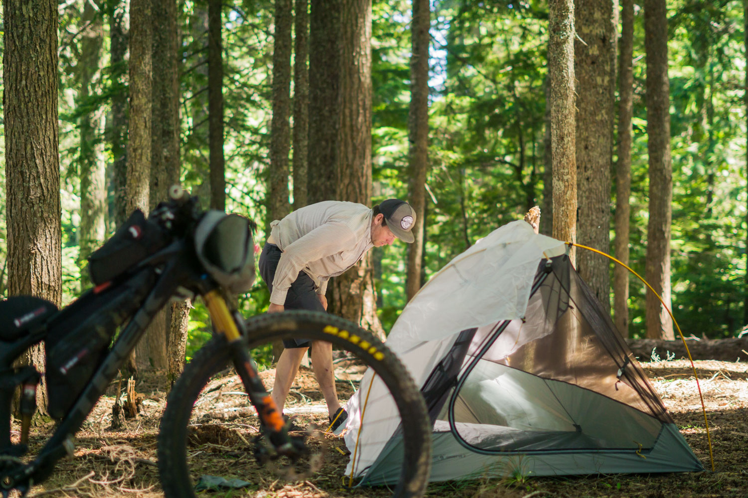
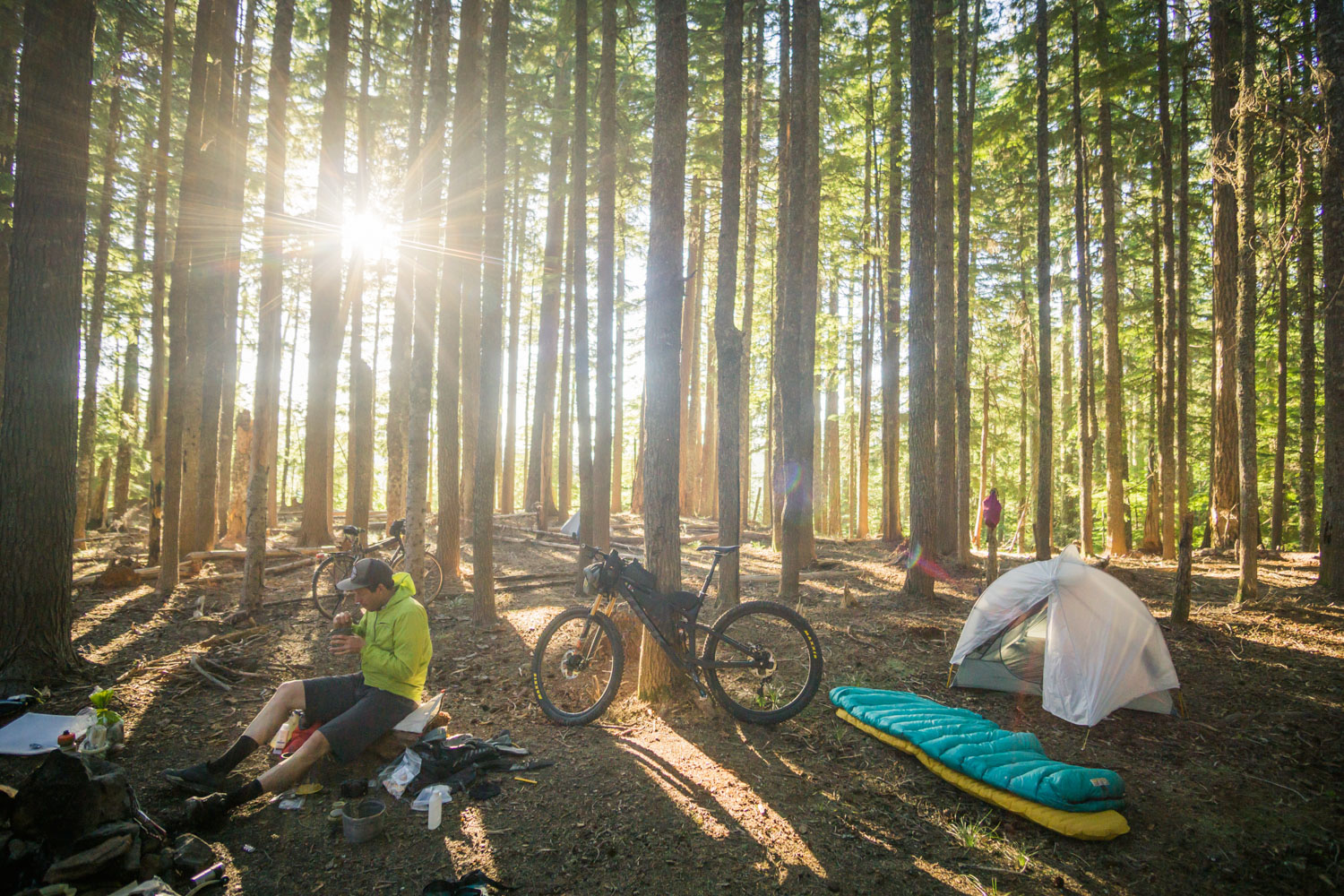
Camping
Food/H2O
Trail Notes
Resources
- Four unique tiers and landscapes
- Diverse backcountry singletrack
- Alpine lakes and quiet campsites
- Countryside steeped in native legends and settler’s lore
- Old growth groves and vast prairies
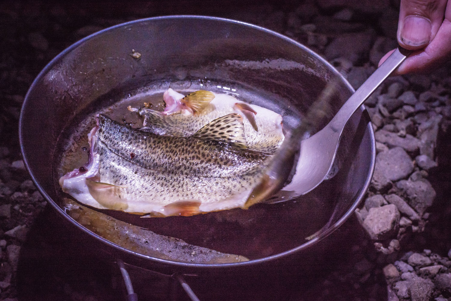
- Bubbling trout streams and herds of antelope
- Historic pack routes and rowdy flow trails
- Ghost towns and backwoods diners
- Direction: The route can be ridden in either a northbound or southbound direction, though the alignment is designed with northbound travel in mind – Northbound to Lakeview Not only is there is a net elevation loss, but getting to the California border is simpler at the beginning of your trip than the end.
- Getting there: The route begins about 20 miles south of Lakeview, Oregon on the California border. If you are coming from Portland, the Amtrak train runs to Klamath Falls which is roughly a 100-mile ride to Lakeview, or if you prefer to stay on dirt, use the suggested Klamath Falls start option on OregonTimberTrail.org to tie into the Oregon Timber Trail at Moss Pass (Mile 70). Shuttle operators are also available to shuttle you to the southern end of the route:
- Longest stretch between resupply: 100 miles
- Longest stretch between water sources: 45 miles
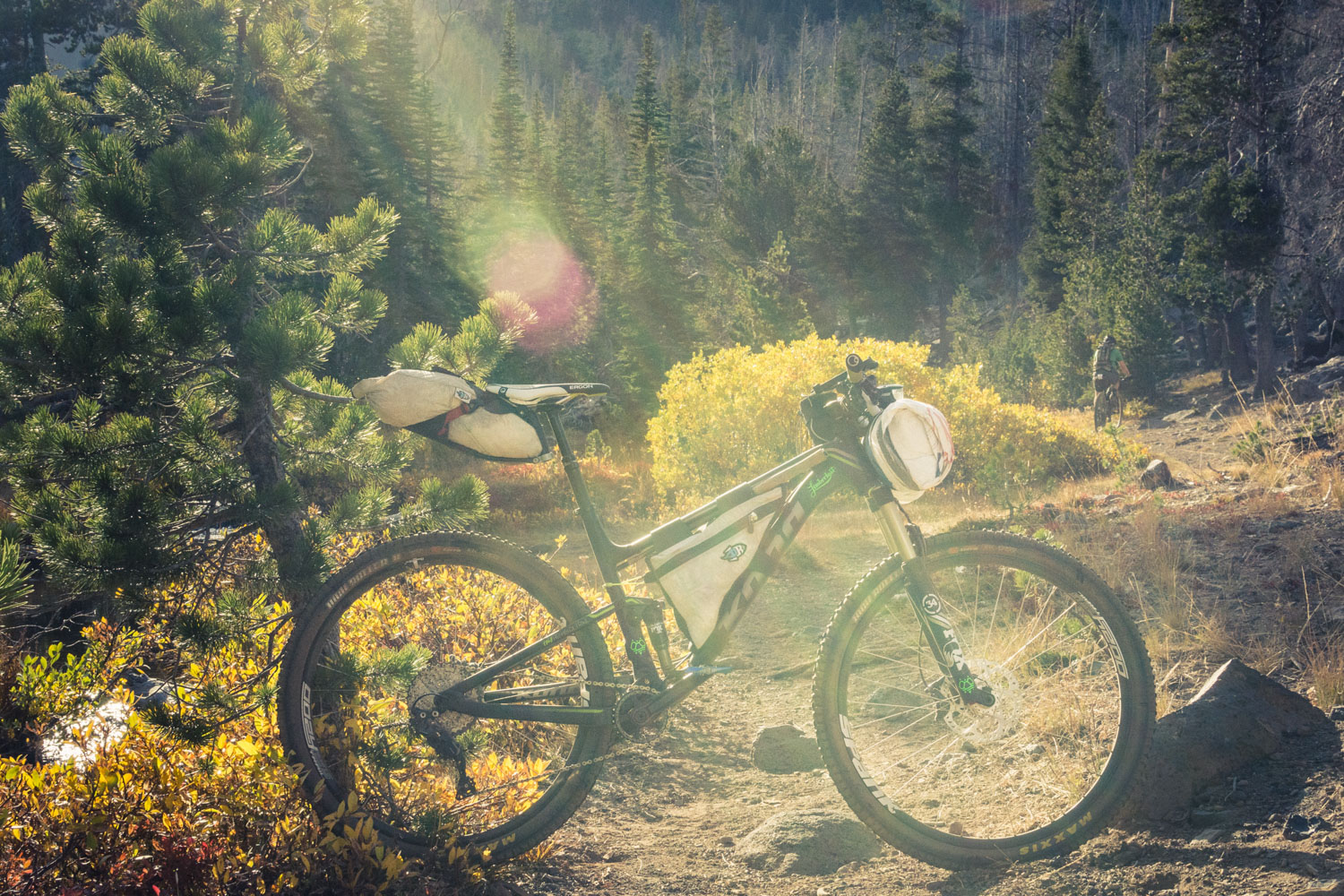
- Recommended bike: Mtb with front suspension, minimum 2.25” knobbies
- Stay connected: Many changes, trail closures, weather alerts, and important information will likely arise. We’ll try to post all important updates on OregonTimberTrail.org and in the associated email newsletter, but use the Facebook group “Oregon Timber Trail Riders” to communicate with other pioneer riders about current trail conditions and planning logistics.
- When to ride: Mid July – Mid October. The 2017 season will be particularly short as the Oregon Timber Trail Alliance works to rehabilitate and clear neglected trails. In subsequent years high-elevation snowpack will usually clear up by mid-June, but note that many backcountry trails may still be blocked by fallen trees that may not be removed until mid-late summer. Most of the route is above 4,500 feet and parts will likely be under snow well into June. Snow flurries can begin to fall again as early mid October. Expect freezing temperatures overnight at high elevation almost anytime of year, as well as heat during the day reaching 90º or higher. The Fremont Tier will typically be the hottest and most sun exposed of the whole route, while the Willamette Tier will have the highest likelihood of precipitation. The route is open to bikes during the summer months unless otherwise noted in the route guide, though nearby trails may have seasonal closures due to wildlife or safety concerns. Other temporary closures may occur for various reasons throughout the season, please adhere to any posted signage and check OregonTimberTrail.org for updates.
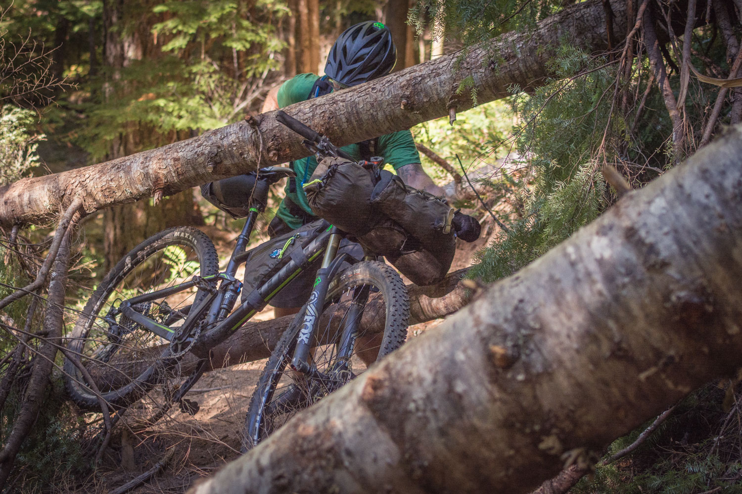
- Navigation and route finding: The Oregon Timber Trail follows existing trails and road systems throughout the state. The surface, quality and signage of these roads and trails can vary dramatically. The route does not have signage anywhere indicating it as part of the Oregon Timber Trail. It is up to the rider to obtain detailed paper maps and GPS files before attempting a thru-ride or segment ride. The GPS and waypoint route files found on OregonTimberTrail.org are integral to successfully riding the OTT, as is the accompanying written route guide.
-
Many official National Forest campgrounds exist on the route. These vary in size and amenities but most campgrounds that are marked as waypoints will have vault toilets, sites, tables, fire rings and tent pads. Fees will vary, carry cash.
-
Unless otherwise marked, dispersed primitive camping is allowed anywhere on National Forest land. We ask you to use sites that show signs of previous use instead of creating your own. Don’t add fire rings or tables to dispersed sites, and pitch your tent and walk where vegetation is minimal.
-
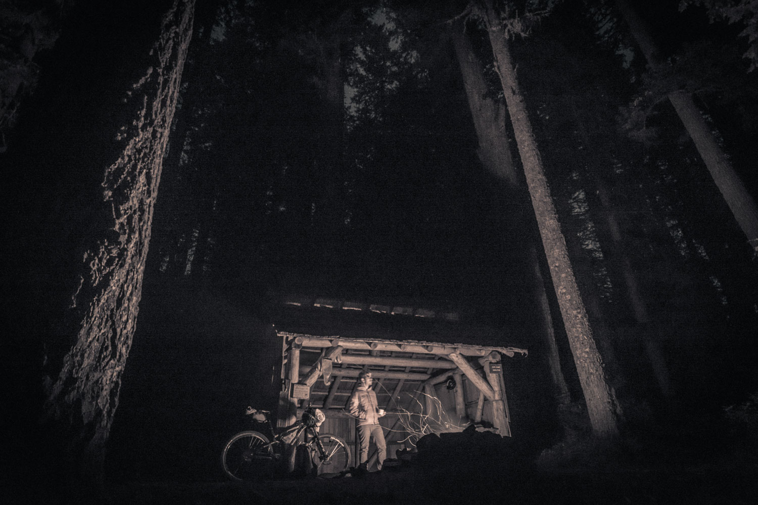
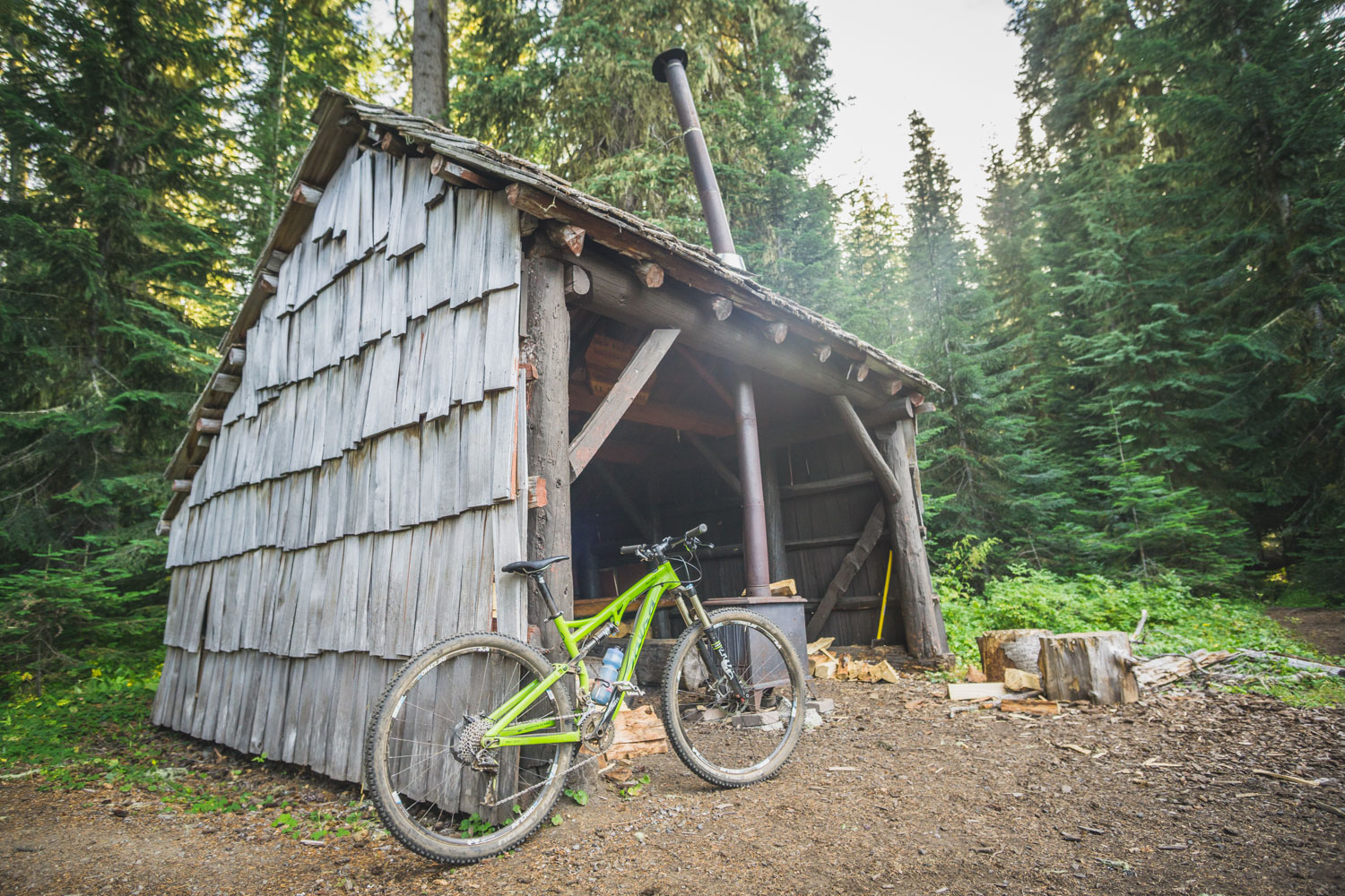
Many Forest Service structures are marked on the map. Most require a reservation and will be occupied so please respect these guests’ privacy and don’t trespass without explicit permission.
-
There are many private lodging opportunities along the route ranging from rustic cabins to luxurious resorts. We try to note where these are located in this guide, but call ahead for reservations and lodging information.
- Filterable water is available for much of the route, except for a few long, dry sections in the Fremont Tier as noted in the route guide on OregonTimberTrail.org.
- Water sources on this route are limited, especially in the Fremont and Deschutes Tiers, and may dry up as summer progresses. Waypoints for these potential water sources are provided with labels like “poor” (unreliable, likely silty) and “good” (more reliable, cleaner water). DO NOT plan that every source will have water, and carry more water than you expect to need and have alternate plan. Carry a backup means of chemical water treatment like Aqua Mira or iodine. In areas where water is more prevalent (available roughly every 10 miles or more) water waypoints are not noted.
- Food resupplies are also limited. To maintain the backcountry essence of the route, larger cities with full-service grocery stores are rare and most resupply points will have minimal food choices and limited hours. Pack up your leftovers, carry dry, light meals, and figure out how to get creative with convenience store fare. Call ahead to stores if you have particular concerns or questions about services and hours.
Ride the route in its entirety for an adventure of a lifetime, or spread it out over a few years riding one tier at a time. The Tier program is an important aspect of the Oregon Timber Trail. While organisers would like the entire 670 miles to be an aspirational goal for riders, the reality for most riders is shorter tiered options without the need for a long vehicle shuttle or extended time away from work and family.
Fremont Tier – 205 miles, 6-10 days
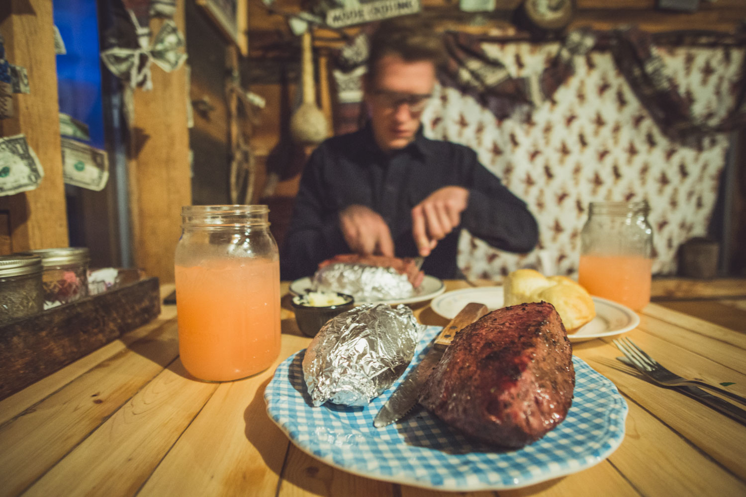
The Oregon Timber Trail aptly starts in the middle of nowhere on the California border. You’ll leave Oregon’s highest town and traverse the 150 mile Fremont National Recreation Trail. You’ll be rewarded with stunning views from Winter Rim, a feast at the legendary Cowboy Dinner Tree, and have the opportunity to stay at a number of primitive fire lookouts.
Willamette Tier – 152 miles, 4-6 days
The Willamette Tier is markedly different from the Fremont Tier. The dry deserts, sparse ponderosa forests and wide open rangeland give way to dark, verdant, and loamy forests as soon as you crest the Cascade Range. You’ll follow feeder streams and springs of the Willamette River’s Middle Fork for much of this tier, putting your water scarcity worries at ease—at least for now.
Deschutes Tier – 125 miles, 3-6 days
The Deschutes Tier takes you back over to the dry, volcanic eastern flank of the Cascade Range. Bend is famous for its large network of world-class mountain bike trails and the Oregon Timber Trail takes advantage of them as it leaves Waldo Lake and winds its way through the Cascade Lakes region and around Mt. Bachelor.
Hood Tier – 192 miles, 5-9 days
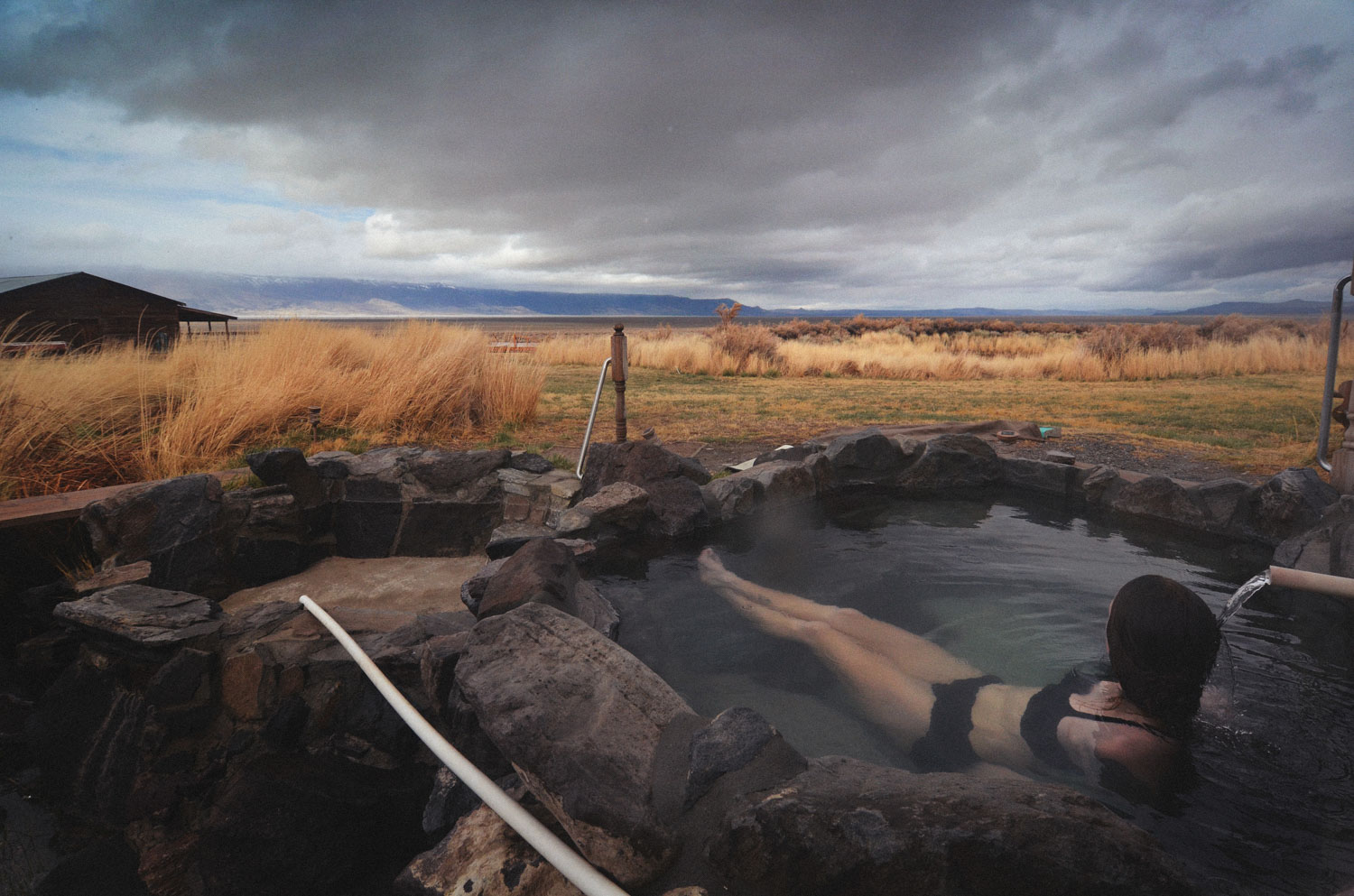
As you head into the Hood Tier you may think you’re on the final stretch—that is if you haven’t looked at the elevation profile. The Hood Tier takes you up and down, across countless backcountry ridges and streams, first teasing you with imposing views of Mount Jefferson and eventually Mount Hood itself. The Old Cascade Crest is steep and rewarding, eventually dropping you near Detroit Lake and up to Olallie Lakes through the Breitenbush Hot Springs valley.
Additional Resources
- See the official OregonTimberTrail.org for more details on the route, all the latest updates, and important Leave No Trace principles.


Terms of Use: As with each bikepacking route guide published on BIKEPACKING.com, should you choose to cycle this route, do so at your own risk. Prior to setting out check current local weather, conditions, and land/road closures. While riding, obey all public and private land use restrictions and rules, carry proper safety and navigational equipment, and of course, follow the #leavenotrace guidelines. The information found herein is simply a planning resource to be used as a point of inspiration in conjunction with your own due-diligence. In spite of the fact that this route, associated GPS track (GPX and maps), and all route guidelines were prepared under diligent research by the specified contributor and/or contributors, the accuracy of such and judgement of the author is not guaranteed. BIKEPACKING.com LLC, its partners, associates, and contributors are in no way liable for personal injury, damage to personal property, or any other such situation that might happen to individual riders cycling or following this route.
Please keep the conversation civil, constructive, and inclusive, or your comment will be removed.