


No. 8 Wired, New Zealand
Distance
150 Mi.
(241 KM)Days
3-4
% Unpaved
60%
% Singletrack
20%
% Rideable (time)
90%
Total Ascent
14,455'
(4,406 M)High Point
2,454'
(748 M)Difficulty (1-10)
7.5?
- 6Climbing Scale Moderate96 FT/MI (18 M/KM)
- -Technical Difficulty
- -Physical Demand
- -Resupply & Logistics
Contributed By

Matt Dewes and Nils van der Heide
Guest Contributor
Matt and Nils have been mates since Tour Aotearoa back in early 2016. They share a common passion for getting outdoors and exploring new places by bike. Both are keen on doing more bikepacking events in the future and are always on the lookout for new adventures and exciting places to ride. Watch this space. And follow Matt on Instagram @matt_dewes.
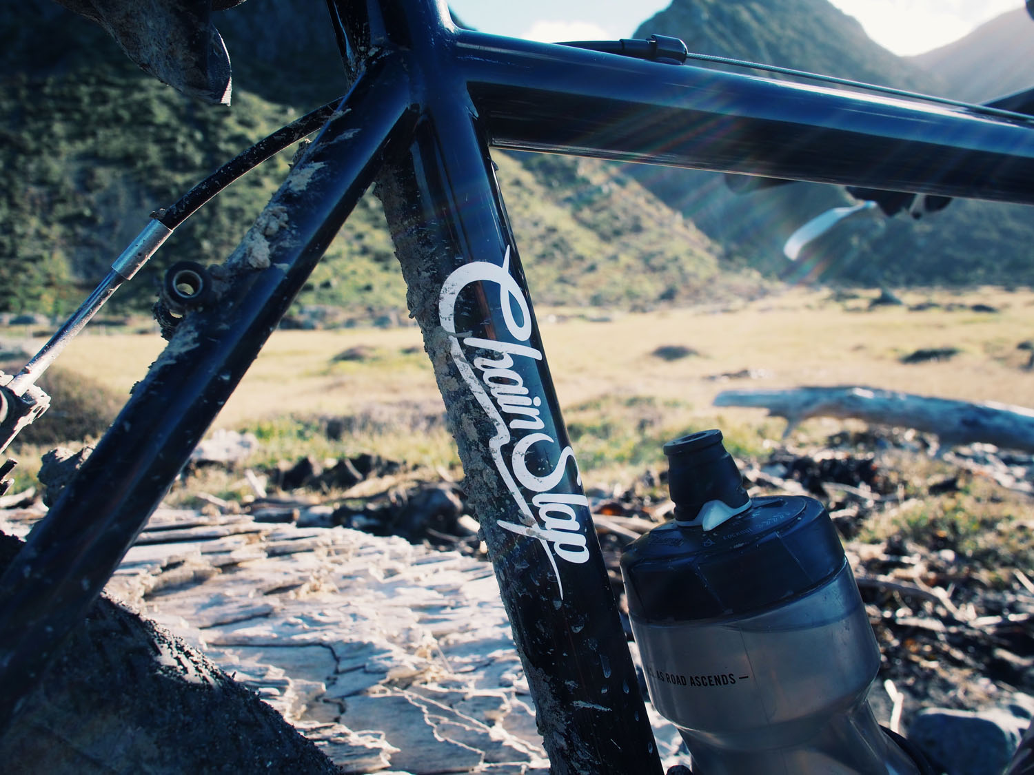
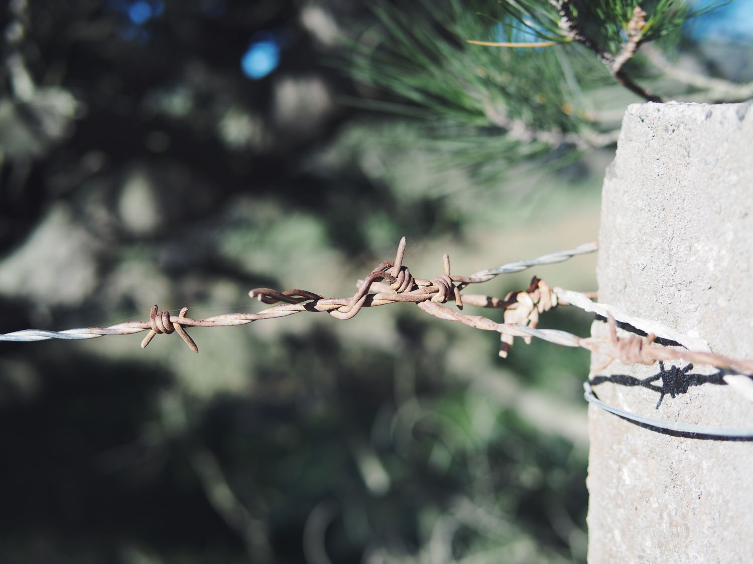
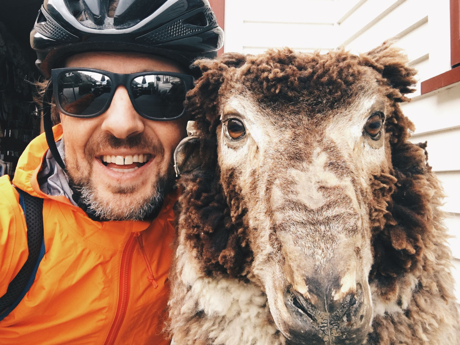
Kiwis are well known for their ingenuity and self-sufficiency. Being so far removed from the rest of the world, historically they often lacked proper equipment and had to get things done with whatever they had readily and easily available in their garden shed. This is also referred to as the No. 8 Wire mentality (literally a gauge of steel wire, popularly used in rural fencing).
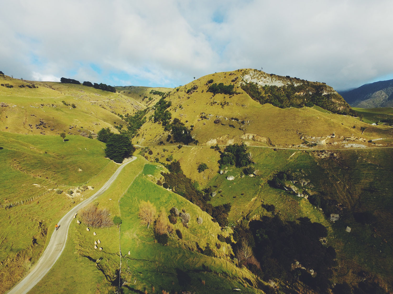
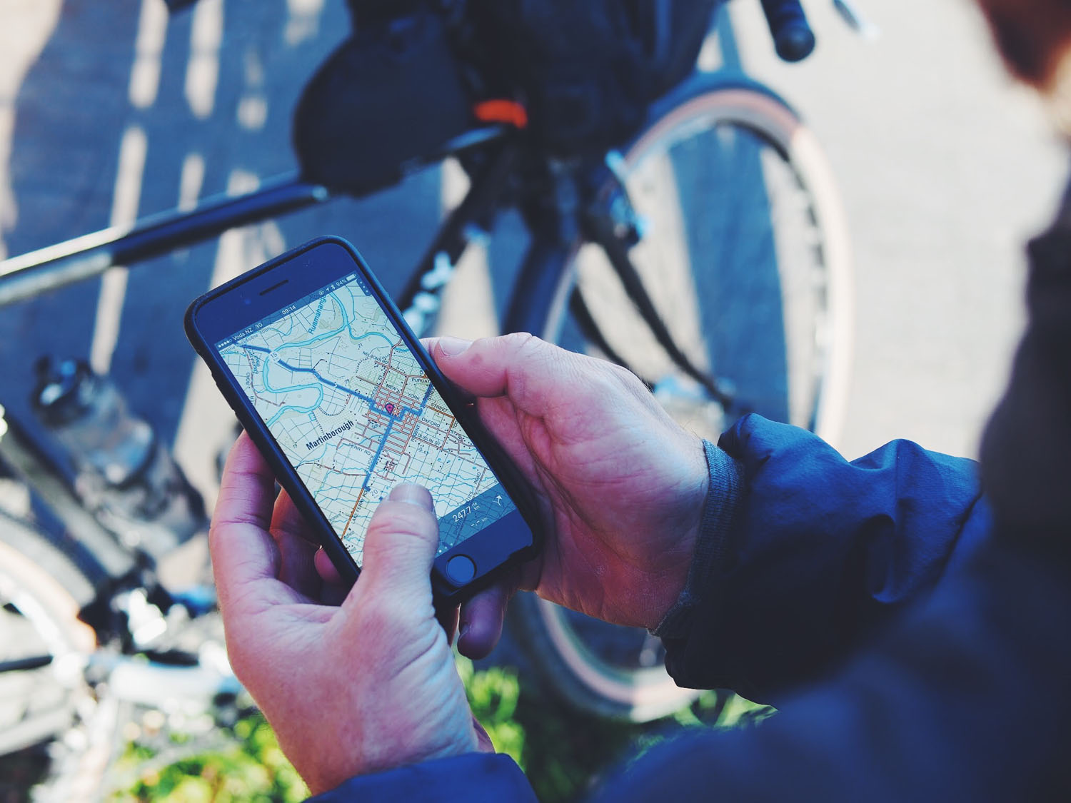
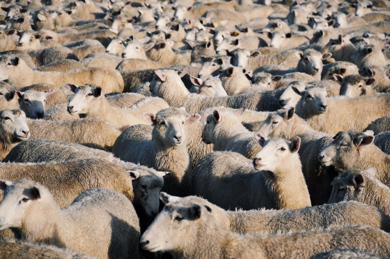
Although not strictly intentional, the route track ended up forming a figure 8, as you can see in the map below. And there’s plenty of No. 8 wire on this route as well. As it passes through sheep and cattle farms, rugged coastline and many other incredible sites. Then there’s the wine country.
Apart from Martinborough, which is well-known for it’s world class Pinot Noir, the Wairarapa region is often overlooked by visitors since it’s well off the beaten track. This is what makes the route truly unique. There’s nothing like finding yourself in the middle of nowhere exploring some of the greatest landscapes you’ve ever seen.
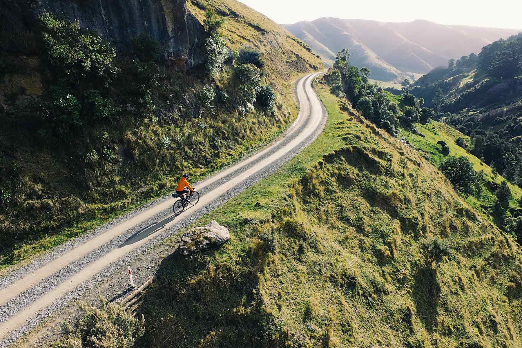
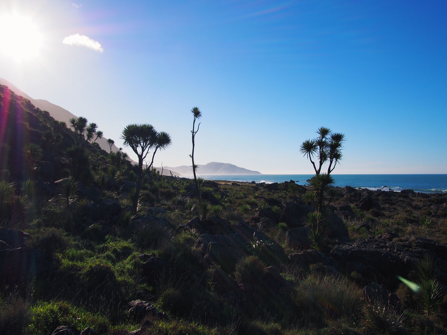
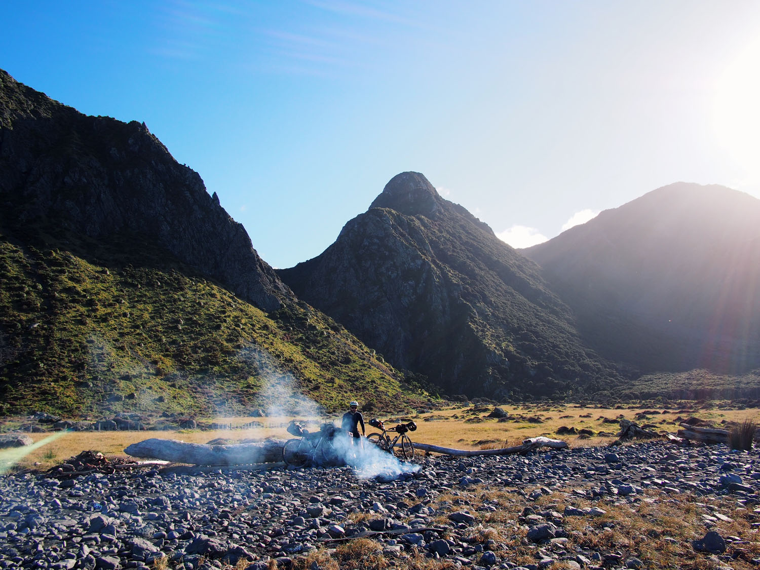
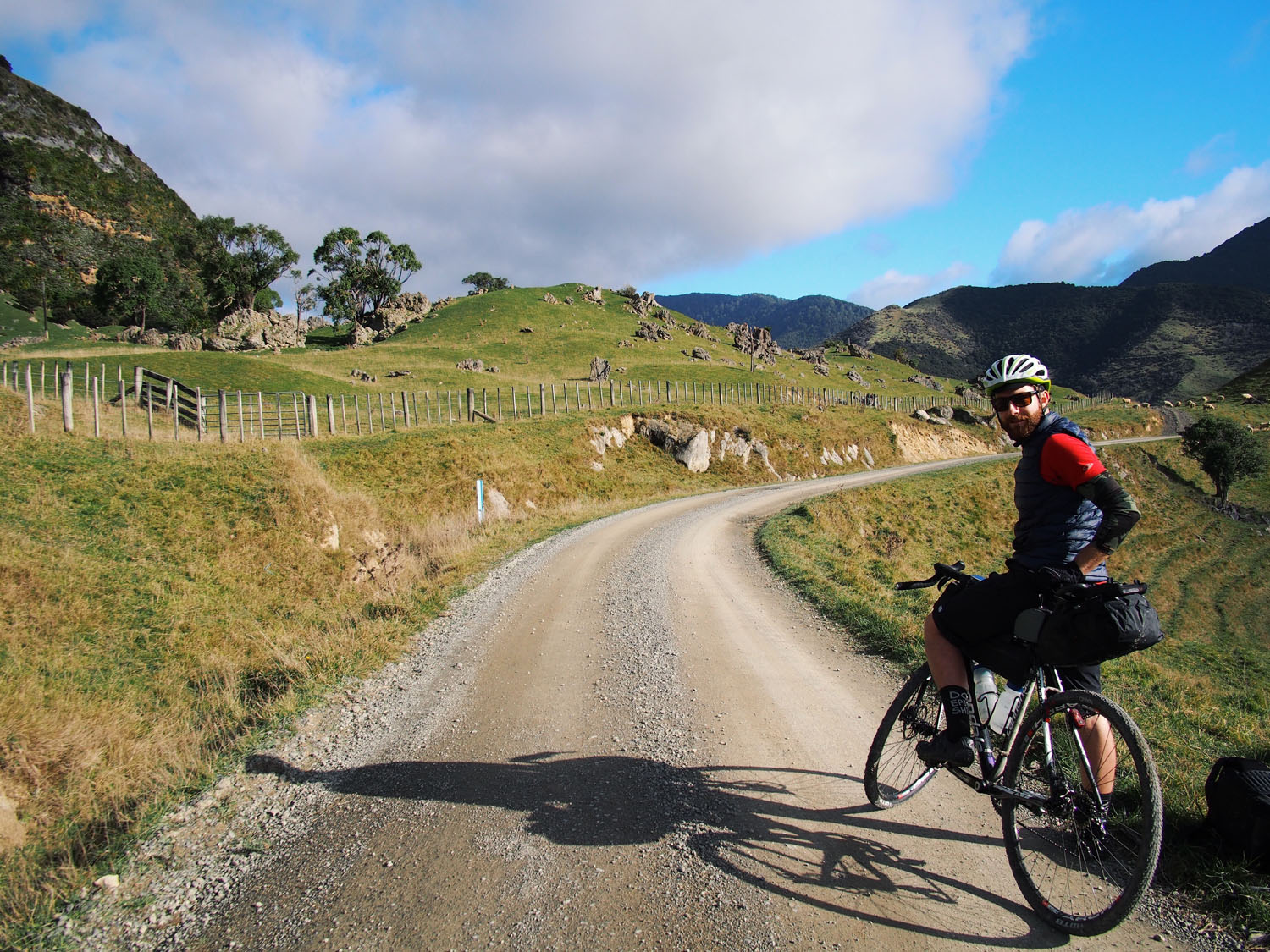
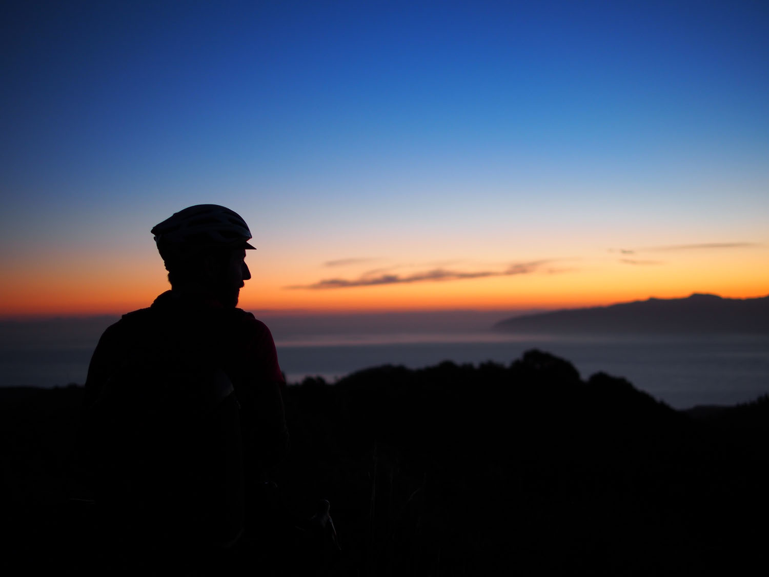
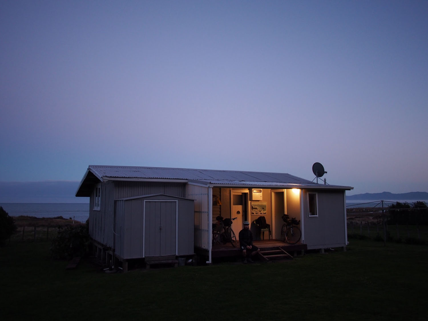
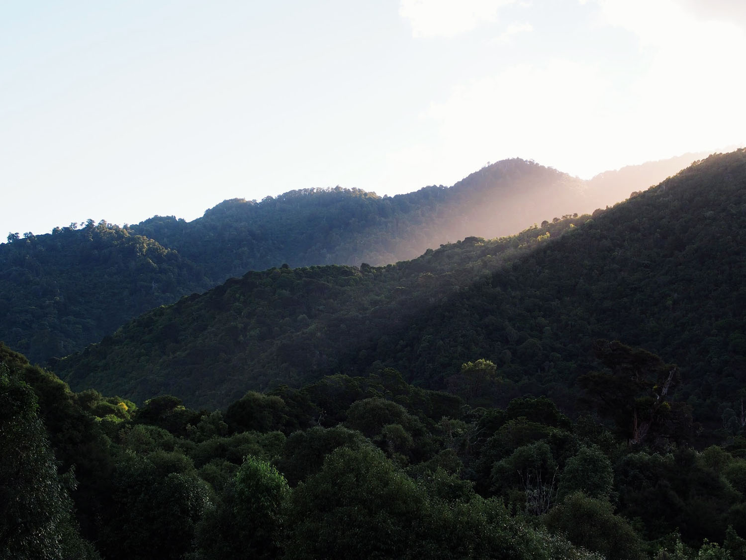
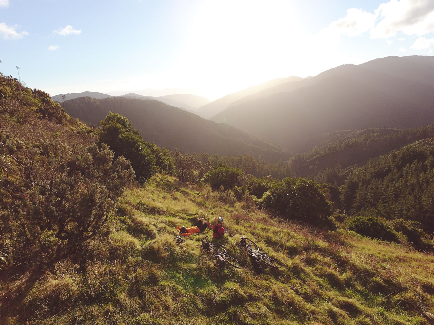
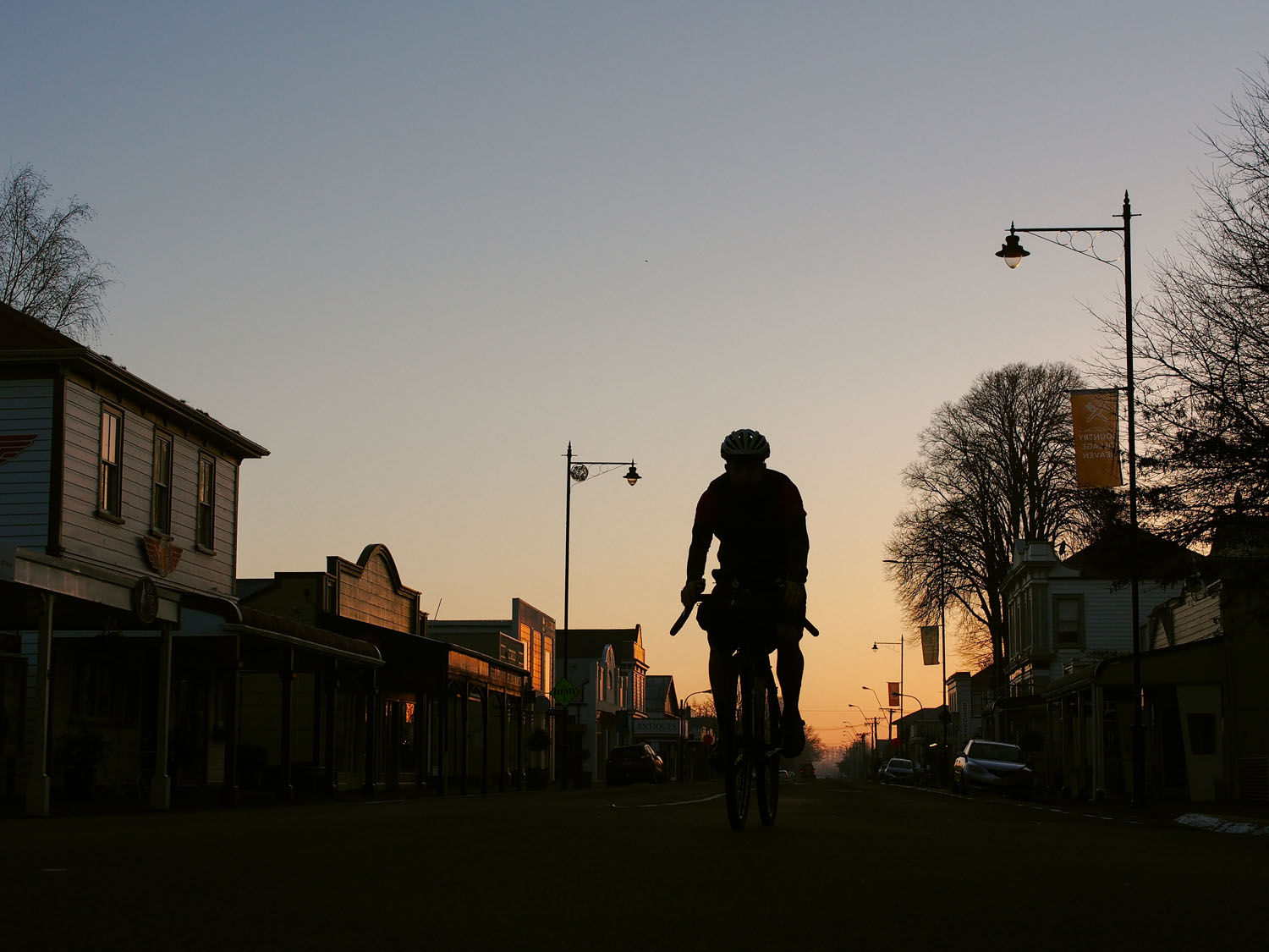
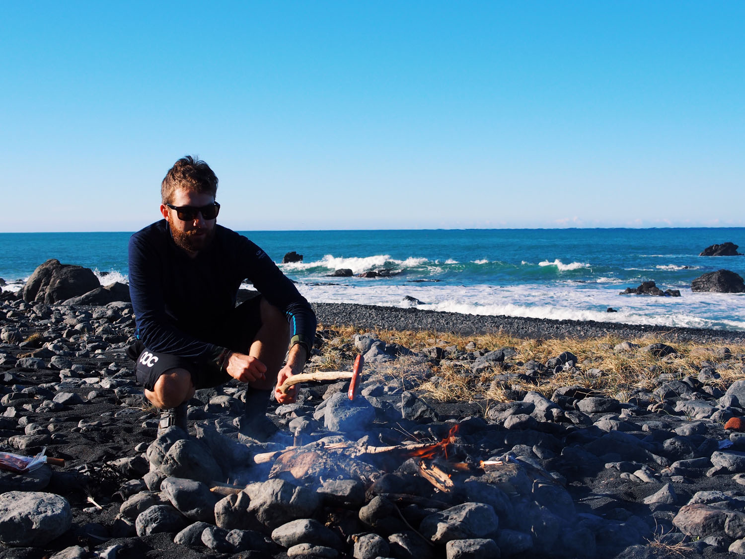
The route starts in Greytown, just over an hour away from Wellington, New Zealand’s coolest little capital. Before long the road turns to gravel and soon after gravel turns to single track. The stunning Aorangi Forest Park reveals some of the countries finest native forest and rewards you with magnificent views over Palliser Bay while descending down to the coast.
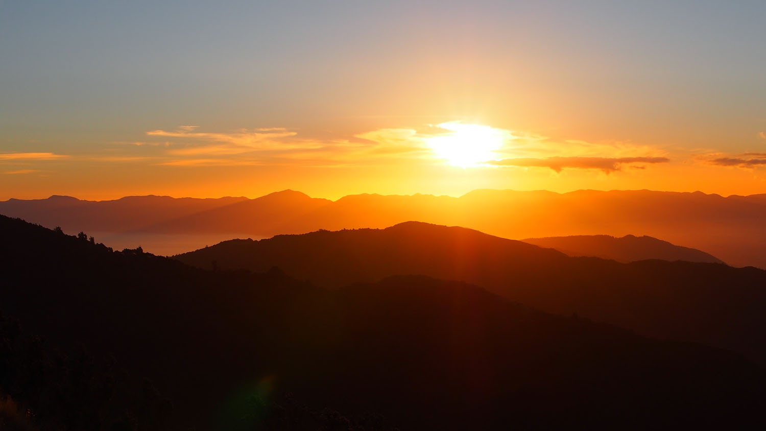
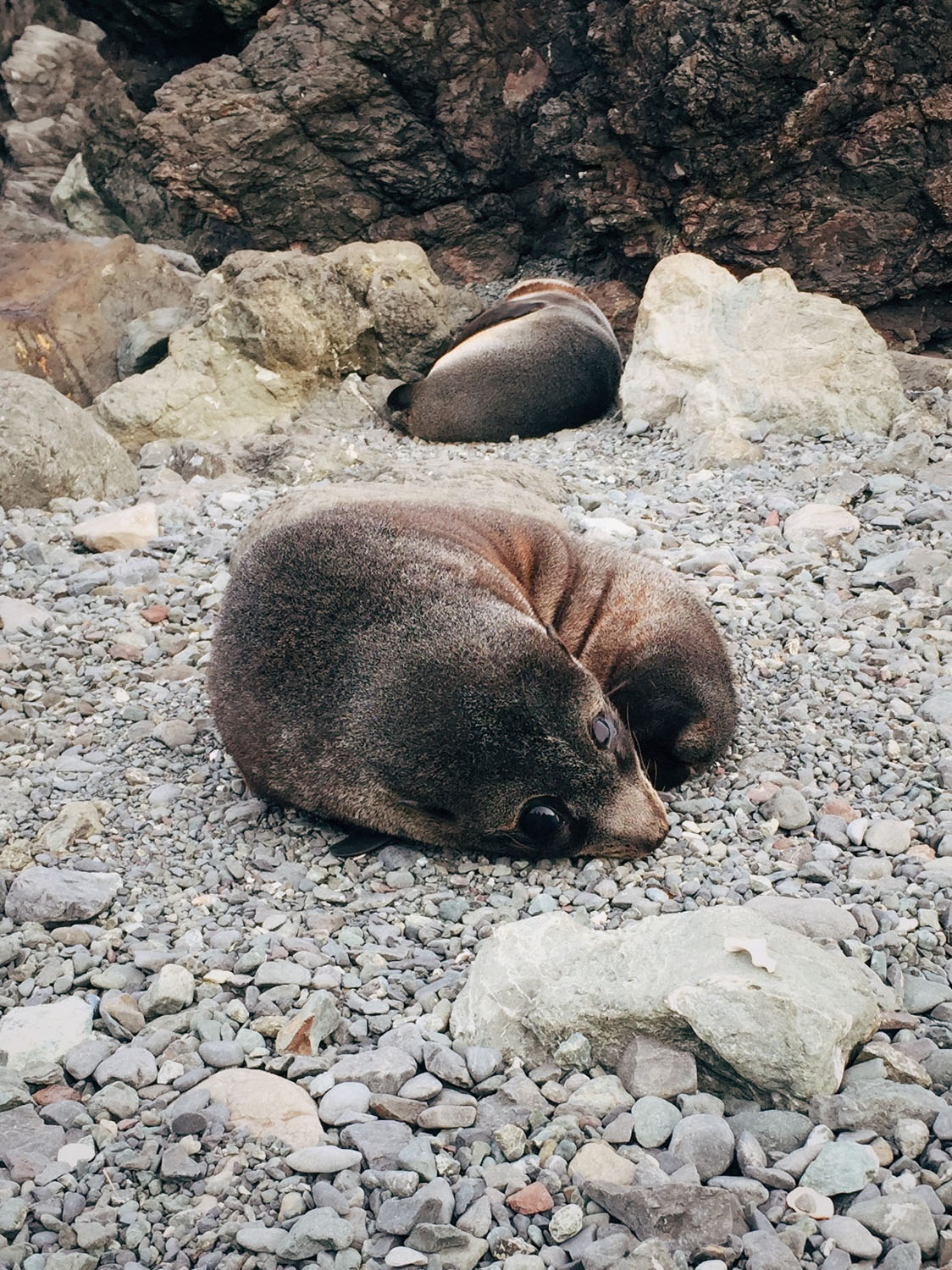
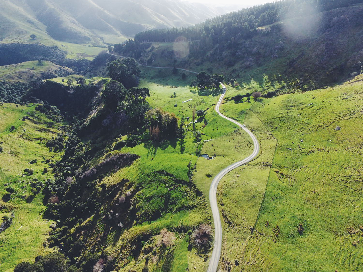
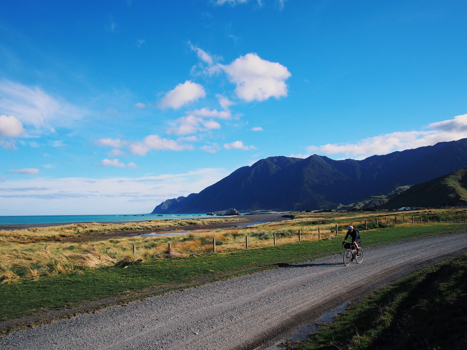
The entire coastline is dramatically scenic and there are plenty of opportunities to get up close with the local fur seals. At the end of Ngapotiki Station, which requires a quick phone call to let them know you’re passing through, the gravel continues inland and follows rolling landscapes through a diverse mix of farmland, wineries and other hidden gems, taking you back to Greytown.
Start your own adventure and get 8 Wired!
Difficulty: The route has been assigned a difficulty number of 7.5. The majority of route is fairly straightforward but extra care does need to be taken in the remote Aorangi Forest Park. This section is physically demanding so it’s recommended you don’t ride alone, carry plenty of warm clothes, food and have access to a first aid kit and personal locator beacon.


Submit Route Alert
As the leading creator and publisher of bikepacking routes, BIKEPACKING.com endeavors to maintain, improve, and advocate for our growing network of bikepacking routes all over the world. As such, our editorial team, route creators, and Route Stewards serve as mediators for route improvements and opportunities for connectivity, conservation, and community growth around these routes. To facilitate these efforts, we rely on our Bikepacking Collective and the greater bikepacking community to call attention to critical issues and opportunities that are discovered while riding these routes. If you have a vital issue or opportunity regarding this route that pertains to one of the subjects below, please let us know:
Highlights
Must Know
Camping
Food/H2O
Trail Notes
Resources
- The wild south coast and remoteness of the Aorangi Forest Park
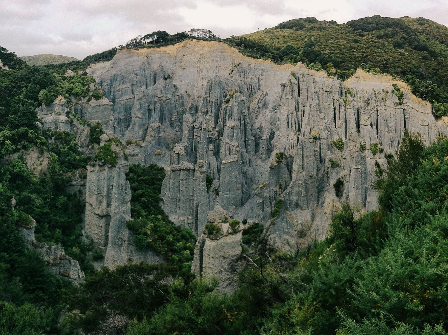
- Walk to the spectacular Putangirua Pinnacles via the short loop track
- Cycle around the vineyards and sample some of New Zealand’s finest wines. Pick up the Wairarapa Wine Map online or from the Information Centre and start exploring.
- Drop into Poppies Martinborough for one of their famous platters and a tasting.
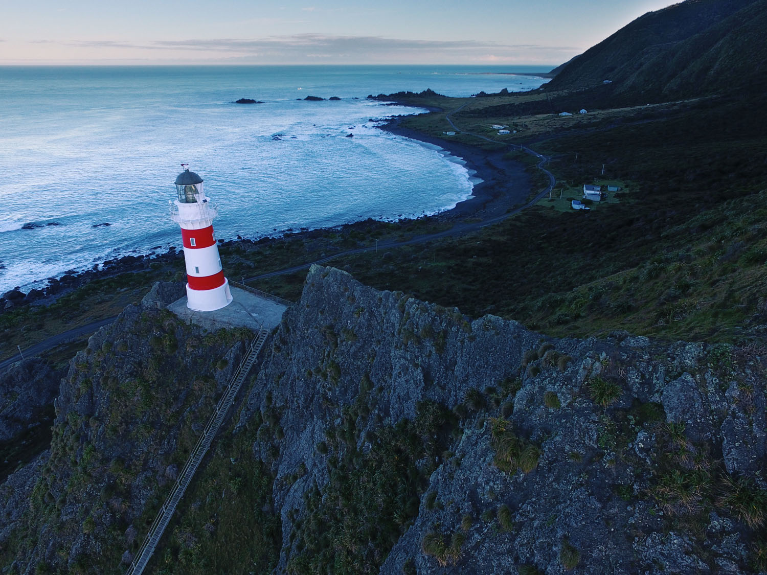
- Seals galore at the North Island’s largest fur seal colony
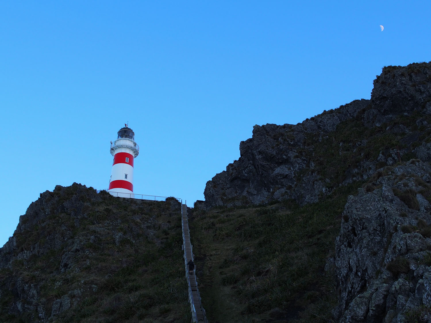
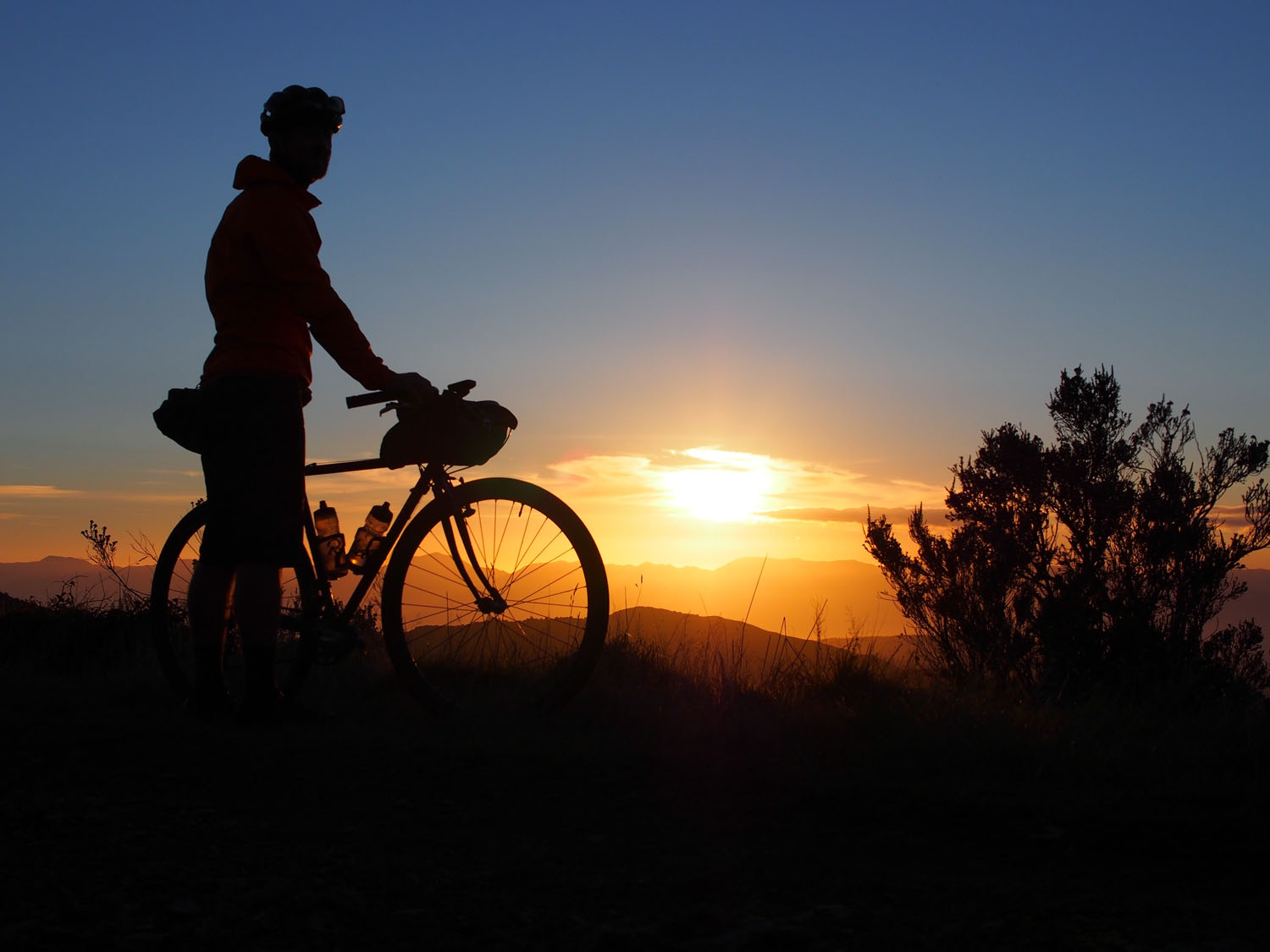
- Climb the 250 steps to Cape Palliser lighthouse and be rewarded with magnificent views
- Tasting paddle at the Martinborough Brewery
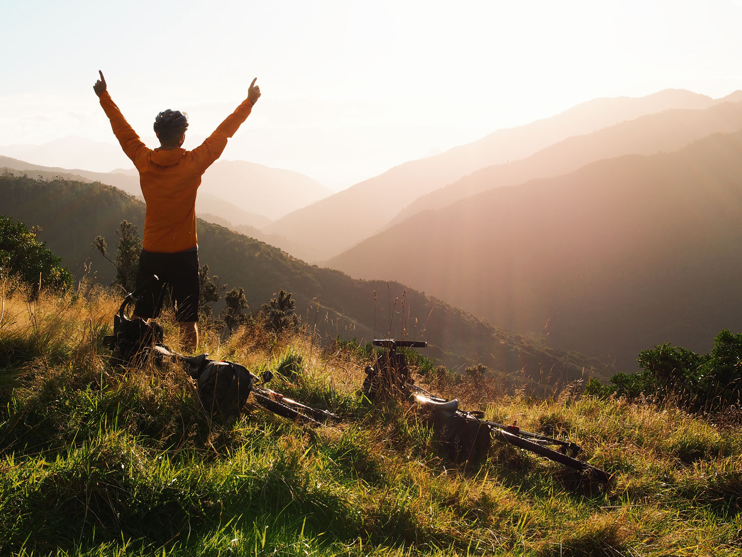
- Stunning views over Palliser Bay as you drop down to the coast
- Riding through a working sheep and beef station
- It’s recommended the route is ridden during New Zealand’s spring or summer months (October – March) to make the most of the longer days. Outside of these times be aware of the weather as it can change quickly and the coastal section is very exposed in southerly winds.
- Greytown is located on State Highway 2 just over an hours drive from Wellington. The easiest way to get there is by train and the nearest station is Woodside – 5km from Greytown. To extend the trip, cycle to Greytown from Wellington combining the established Hutt River Trail and Rimutaka Cycle Trail.
- As the route forms a figure of eight, you conveniently end up where you started.
- There are a number of river crossings throughout the route which are mostly ankle deep.
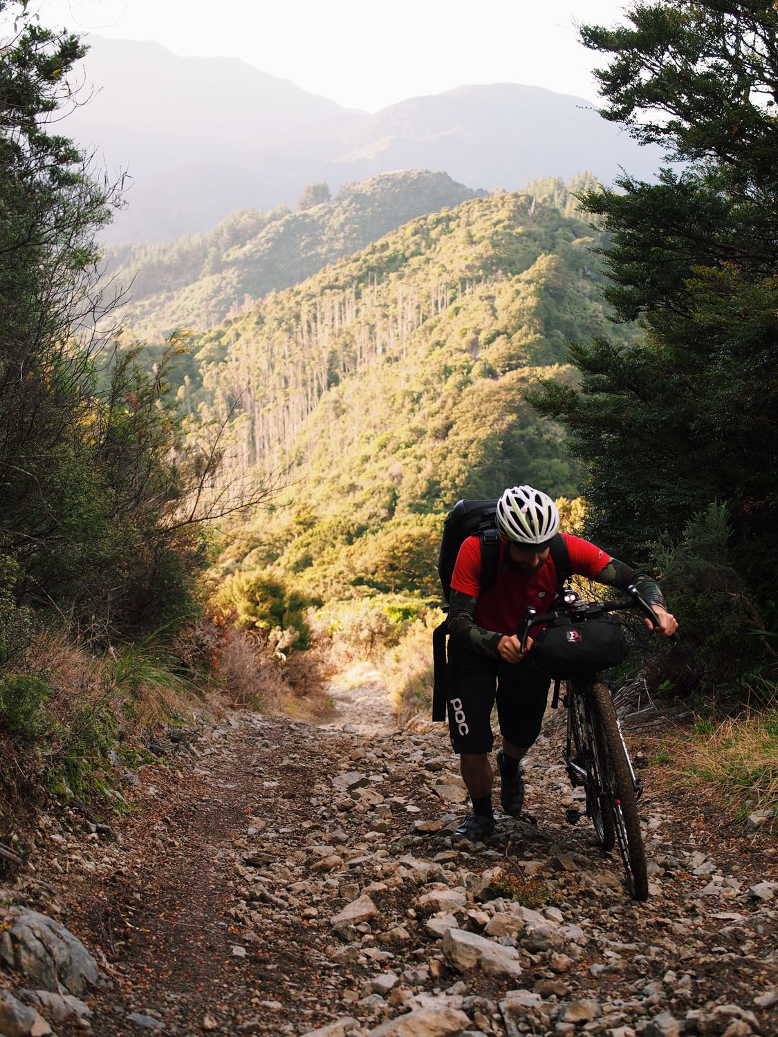
- The Aorangi Forest Park is a remote backcountry environment. There is no cellphone reception and it can take a minimum of 5 hours to get through this section. After Sutherlands Hut the track includes some very steep, rocky climbs that are unrideable.
- You may occasionally come across 4×4’s or hunters through the Aorangi Forest Park.
- The route passes through a short stretch of private land. Permission is required from Ngapotiki Station: +64 6 379 7838. They like to know if you are coming through and generally don’t have any problem with bicycles.
- There is a fallback option around the Aorangi Forest Park just in case the weather doesn’t cooperate or riders don’t feel confident enough. The amazing coast line section can still be accessed via the main road out to the coast and is already vastly remote and scenic. The fallback route joins the No. 8 Wired route at the Putangirua Pinnacles.
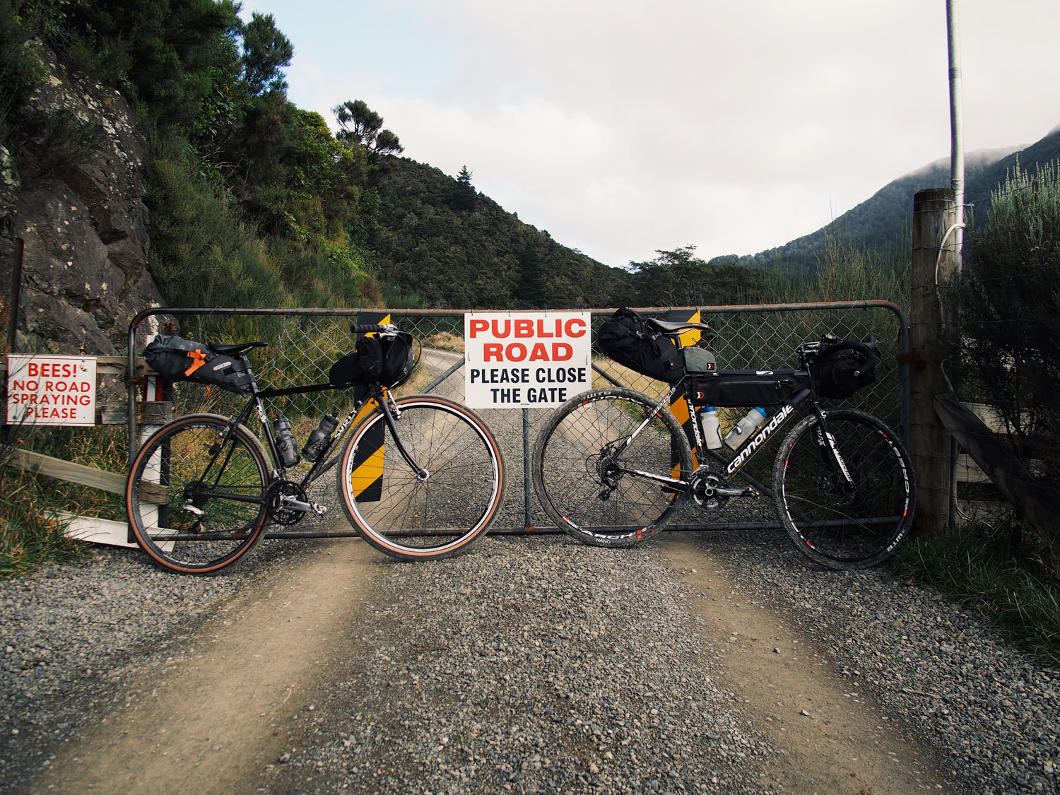
- There are quite a few gates along the route so be sure to leave them as you found them. Some are locked and require you to carry your bike over.
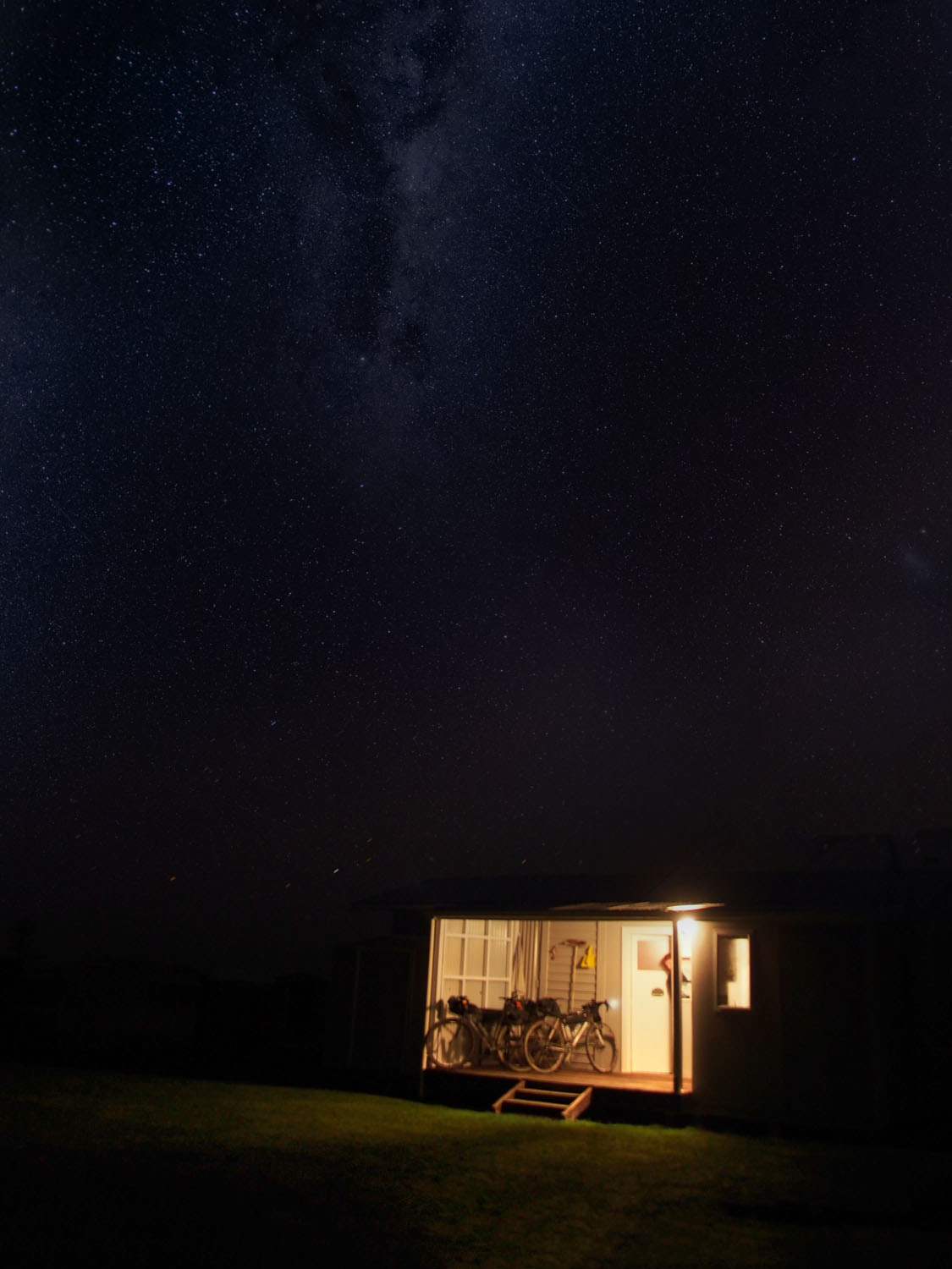
- The Sutherlands Hut is 200 metres off the route and provides good shelter midway through the Aorangi section but is very basic.
- Te Kopi Homestead is run by the Department Of Conservation and is situated at the end of the Aorangi crossing and has good facilities available. Bookings are required via doc.govt.nz
- Camping is available at the Putangirua Pinnacles campsite which is 800 metres from Te Kopi Homestead. There are numerous other camping spots along the coast as well as the Ngawi camping area. Please take your trash with you.
- There are more accommodation options in Ngawi and Mangatoetoe. These are best booked in advance through www.bookabach.co.nz or www.holidayhouses.co.nz
- Martinborough and Greytown have plenty of accommodation from luxury hotels and guesthouses through to the Top 10 camping ground.
- There are many nice cafes and bars in Greytown and Martinborough so be sure to allow enough time to check out a few of these. Luckily, there’s the option to pass through Martinborough on your way back. To name a few, Cafe Medici or The Village Cafe have plenty of tasty treats. Later in the day try The Martinborough Hotel or Cool Change for refreshing beverage.
- It pays to be well stocked up before leaving Martinborough with at least two days worth of food depending on the pace you intend to travel. The coastal section is remote and there’s no real chance to restock until looping back around.
- Fresh water is fairly abundant along the route. There are numerous rivers and streams and there are also a number of country schools and pubs which have water available.
- When taking water from rivers near farms, it doesn’t hurt to use water purification tablets to be safe.
- Captain’s Table in Ngawi operates out of a caravan by the beach and offer a range of drinks and food but they generally only open on the weekend.
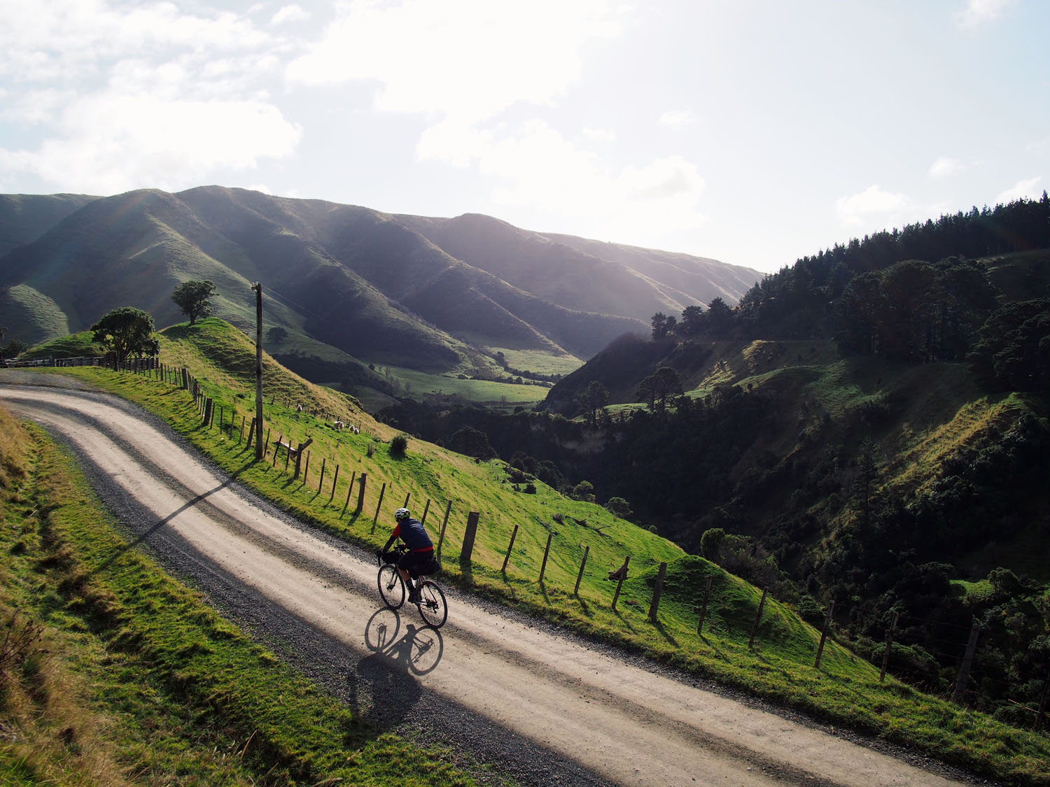
Leaving Greytown it’s a short meandering ride to Martinborough where it’s worth stopping for morning tea and stocking up for the days ahead. Day 1 is by far the most challenging and while it’s not a huge distance, the terrain is demanding which makes for a long day. It’s worth aiming to ride through to the coast as there are more options for accommodation. After an arduous first day it’s recommended to have a short day 2 exploring the coastline between and Te Kopi Homestead and Cape Palliser as there is a lot to see and do. Day 3 takes you inland and back towards Martinborough and while it’s not right on the route, it’s worth heading back here to spend a bit more time enjoying all that’s on offer. Day 4 includes some decent climbing through rolling countryside with stunning vistas before you arrive back in Greytown.
Additional Resources
- Destination Wairarapa: wairarapanz.com
- Information on the Aorangi Forest Park and huts can be found on the DOC website: www.doc.govt.nz
- Accommodation options: bookabach.co.nz or holidayhouses.co.nz or airbnb.co.nz
- The Wairarapa wine trail: wellingtonnz.com
- The Wairarapa visitor guide: wairarapanz.com (PDF)


Terms of Use: As with each bikepacking route guide published on BIKEPACKING.com, should you choose to cycle this route, do so at your own risk. Prior to setting out check current local weather, conditions, and land/road closures. While riding, obey all public and private land use restrictions and rules, carry proper safety and navigational equipment, and of course, follow the #leavenotrace guidelines. The information found herein is simply a planning resource to be used as a point of inspiration in conjunction with your own due-diligence. In spite of the fact that this route, associated GPS track (GPX and maps), and all route guidelines were prepared under diligent research by the specified contributor and/or contributors, the accuracy of such and judgement of the author is not guaranteed. BIKEPACKING.com LLC, its partners, associates, and contributors are in no way liable for personal injury, damage to personal property, or any other such situation that might happen to individual riders cycling or following this route.
Please keep the conversation civil, constructive, and inclusive, or your comment will be removed.