


Monumental Loop, Southern New Mexico
Distance
254 Mi.
(409 KM)Days
5
% Unpaved
76%
% Singletrack
13%
% Rideable (time)
96%
Total Ascent
9,277'
(2,828 M)High Point
5,805'
(1,769 M)Difficulty (1-10)
6.5?
- 2Climbing Scale Easy37 FT/MI (7 M/KM)
- 7Technical Difficulty Difficult
- 8Physical Demand Difficult
- 6Resupply & Logistics Moderate
Contributed By

Matt Mason
Guest Contributor
Family man Matt Mason mountain bikes and bikepacks whenever he has a spare moment; this summer, he rode the Colorado Trail. By day, he looks after his two children, riding them around town in a Larry v Harry Bullitt cargo bike.
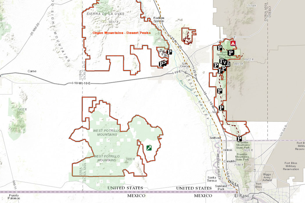
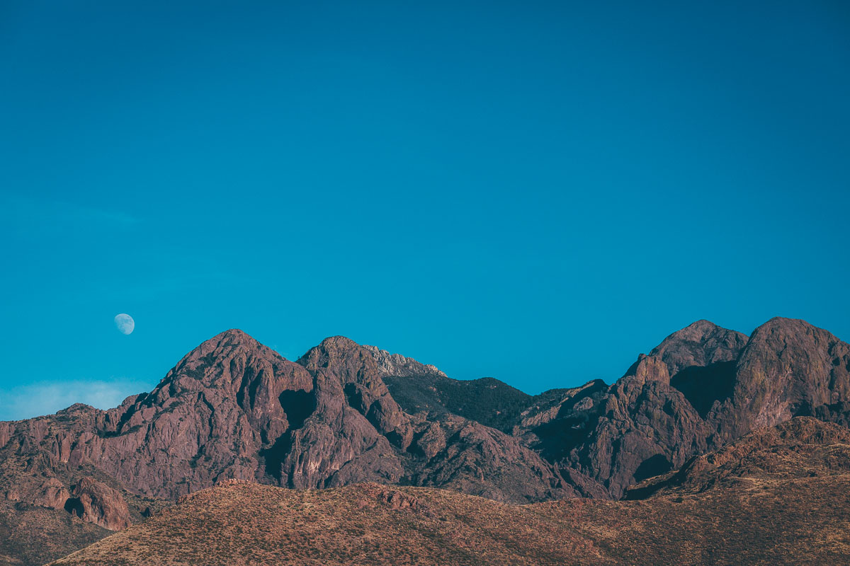
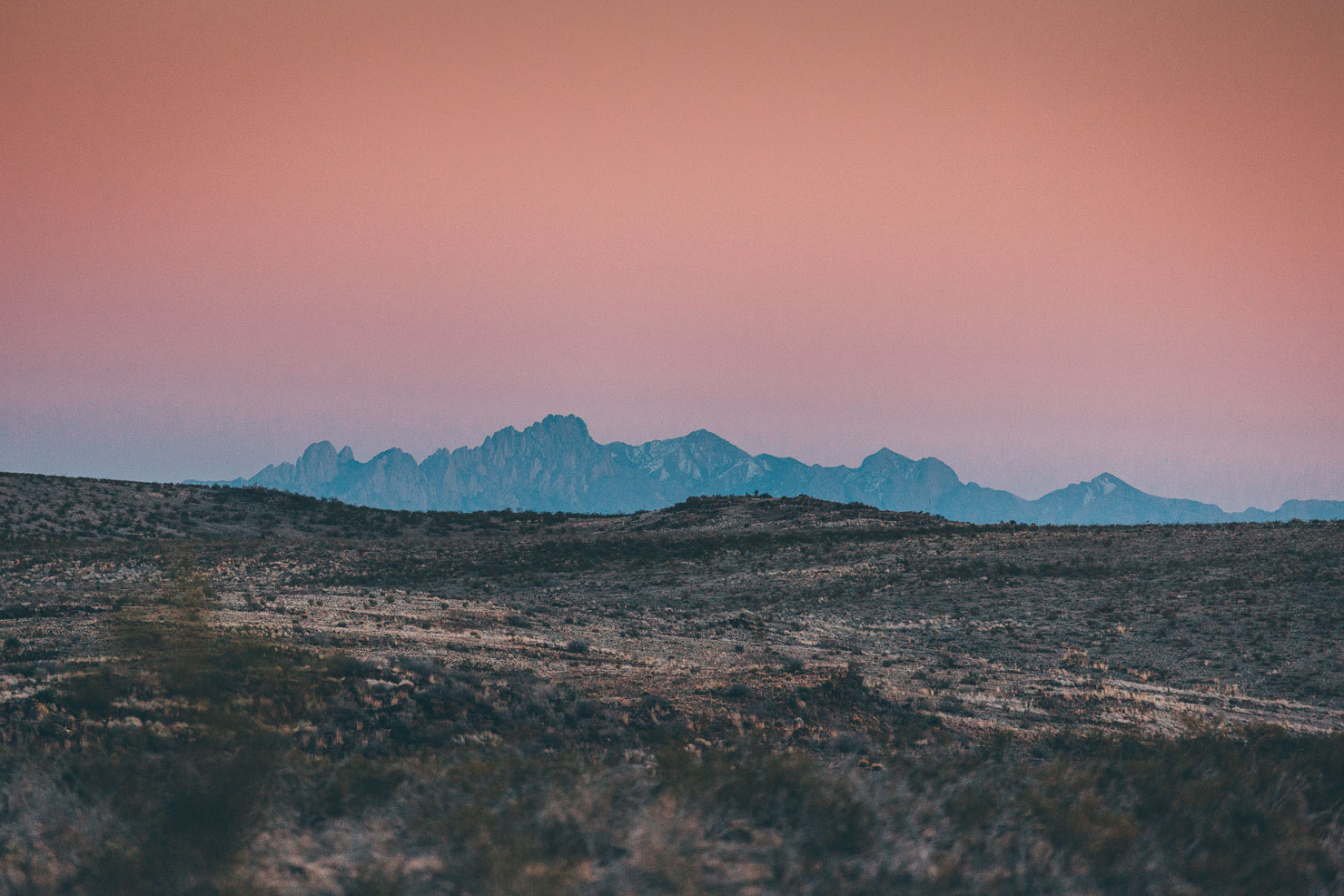
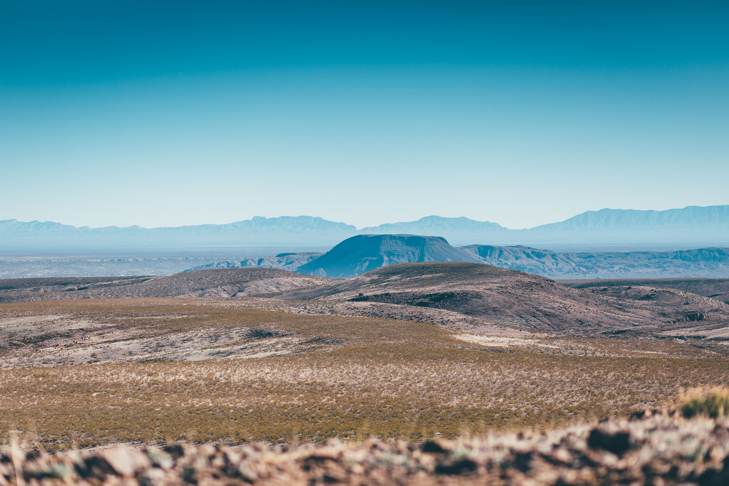
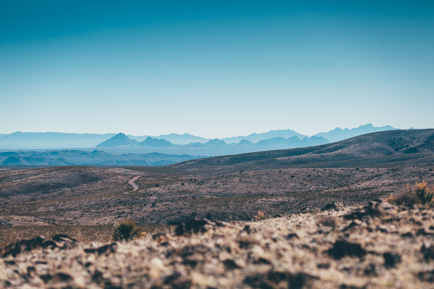
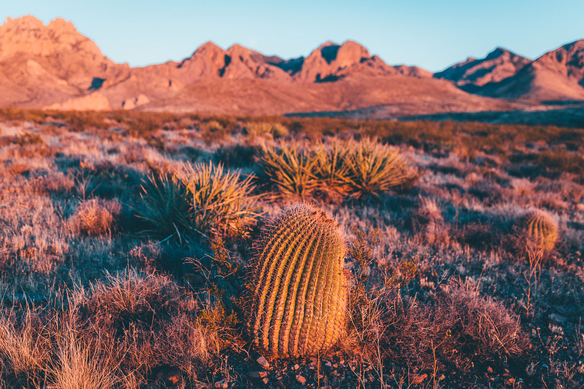
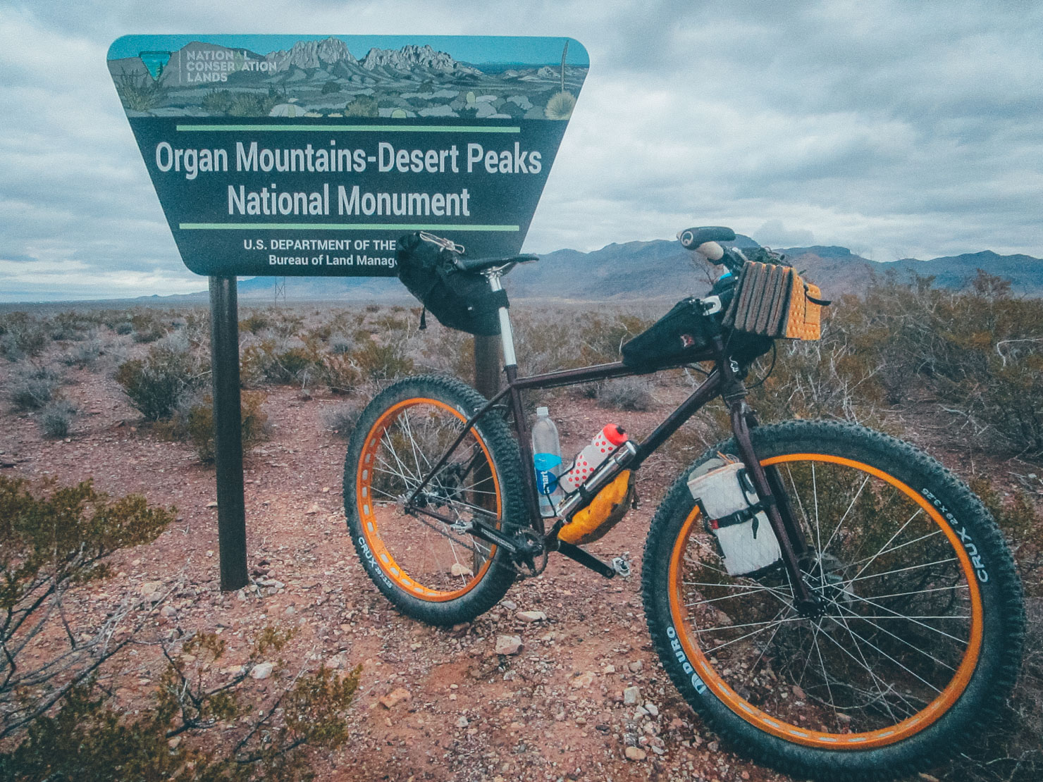
Aside from in its sheer size – a whole 500,000 acres in area – the Organ National Parks and Desert Peaks National Monuments is unusual in its format. Unlike other National Monuments, it encompasses four distinct areas – the Organ Mountains themselves, along with Doña Anas, Las Uvas, and the Potrillos, aka Cone Country.
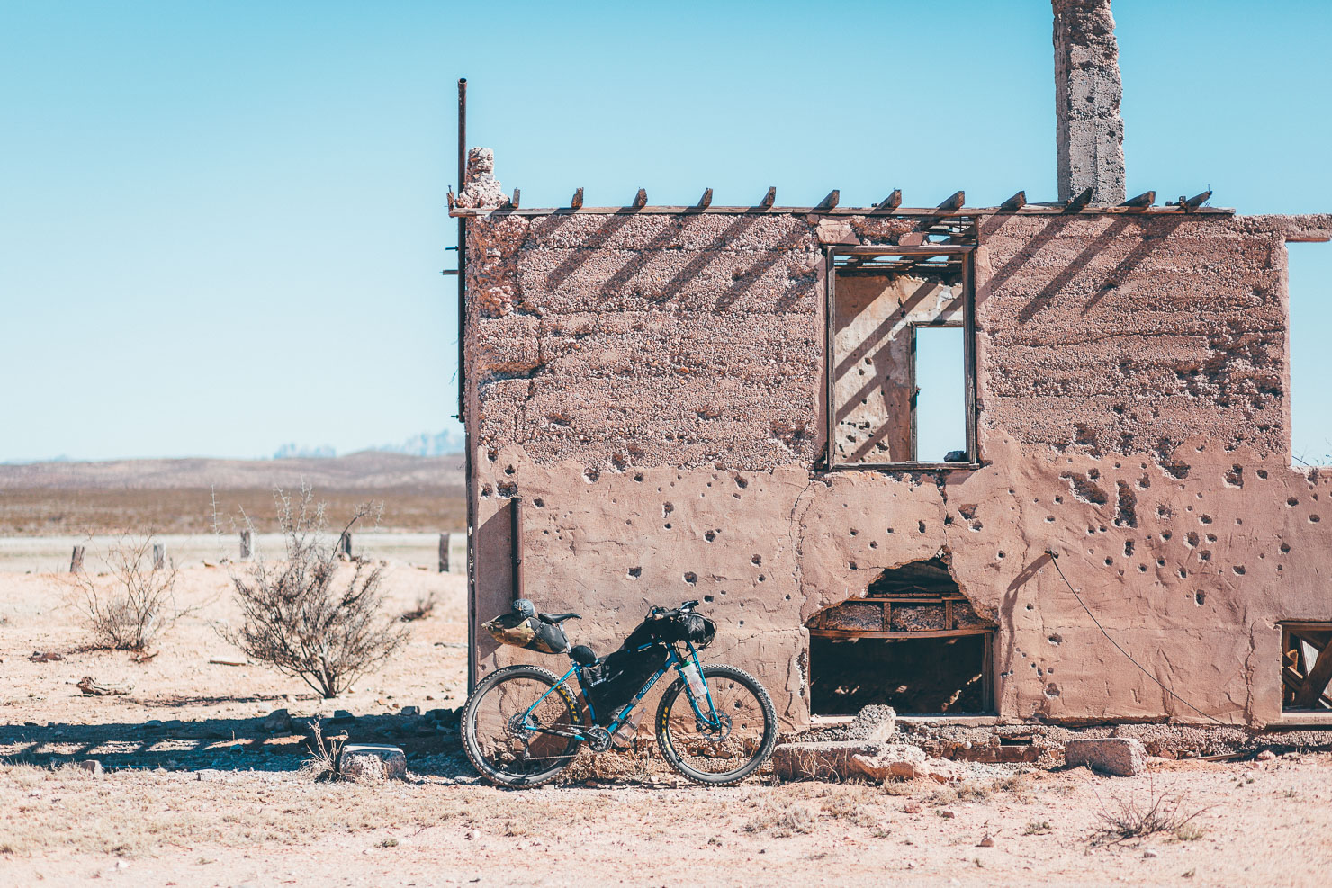
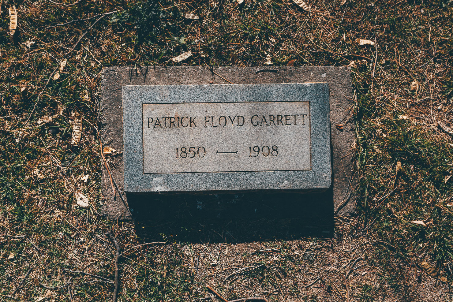
The goal of the route is to explore and connect the entire area. As such, the Monumental Loop aims to share an appreciation of this diverse desert landscape and its compelling serenity, whilst also uncovering some of its intriguing historical textures. For instance, it passes by the death place of legendary frontier lawman Pat Garrett, as well as the site of numerous Apollo training missions, a rockscape where woolly mammoths once came to scratch their prehistoric itches, and a myriad of petroglyphs that remain steeped in mystery.
Monumental Reroute March 2021
First published in January 2017, the Monumental Loop was designed to be a full tour of Organ Mountains-Desert Peaks National Monument. Unfortunately it left many riders struggling on faint trails and poorly maintained roads. That was not our intention. The route also sparked a bikepacking boom in Las Cruces and locals have embraced it as a valuable addition to the community.
In an effort to increase accessibility, rider enjoyment, and help boost New Mexico’s efforts to establish a robust outdoor recreation economy, we’ve scouted and mapped some major reroutes. Much of the sand and rocks were cut in favor of smooth ditches and increased opportunities for tacos in small towns along the Rio Grande. There’s even a winery and hot springs available! Riders still visit all four units of OM-DP National Monument and pass by seven wilderness areas.
The original route, now renamed The DangerBird, will remain an option for riders, or runners, who have the time and desire for such a demanding experience.
Thank you to all folks who not only took time to ride the original route, but also provided the feedback that eventually led to this updated Loop.
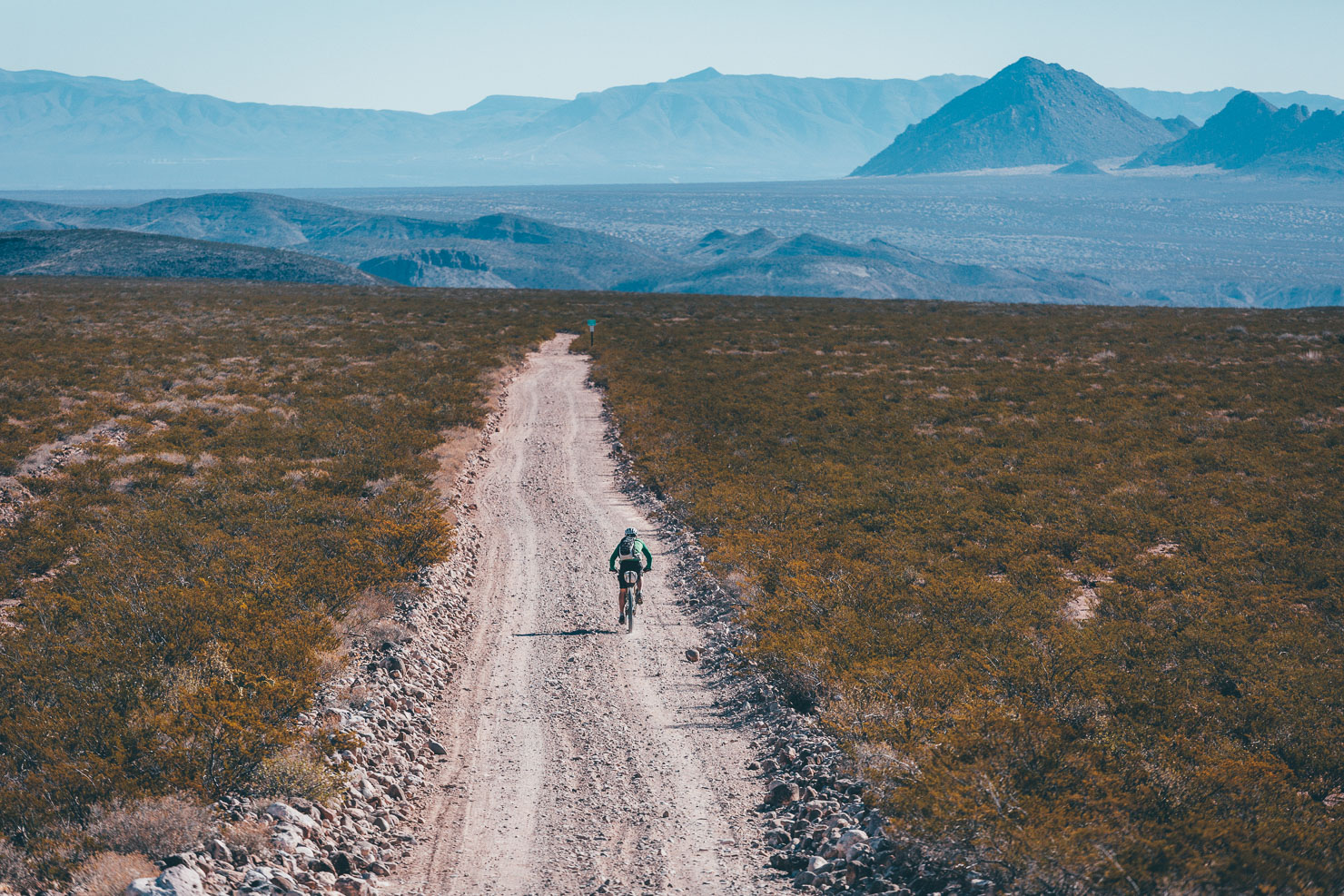
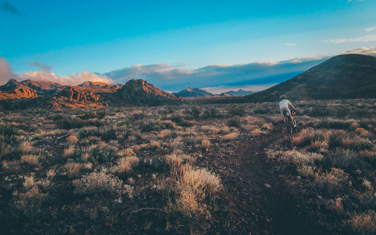
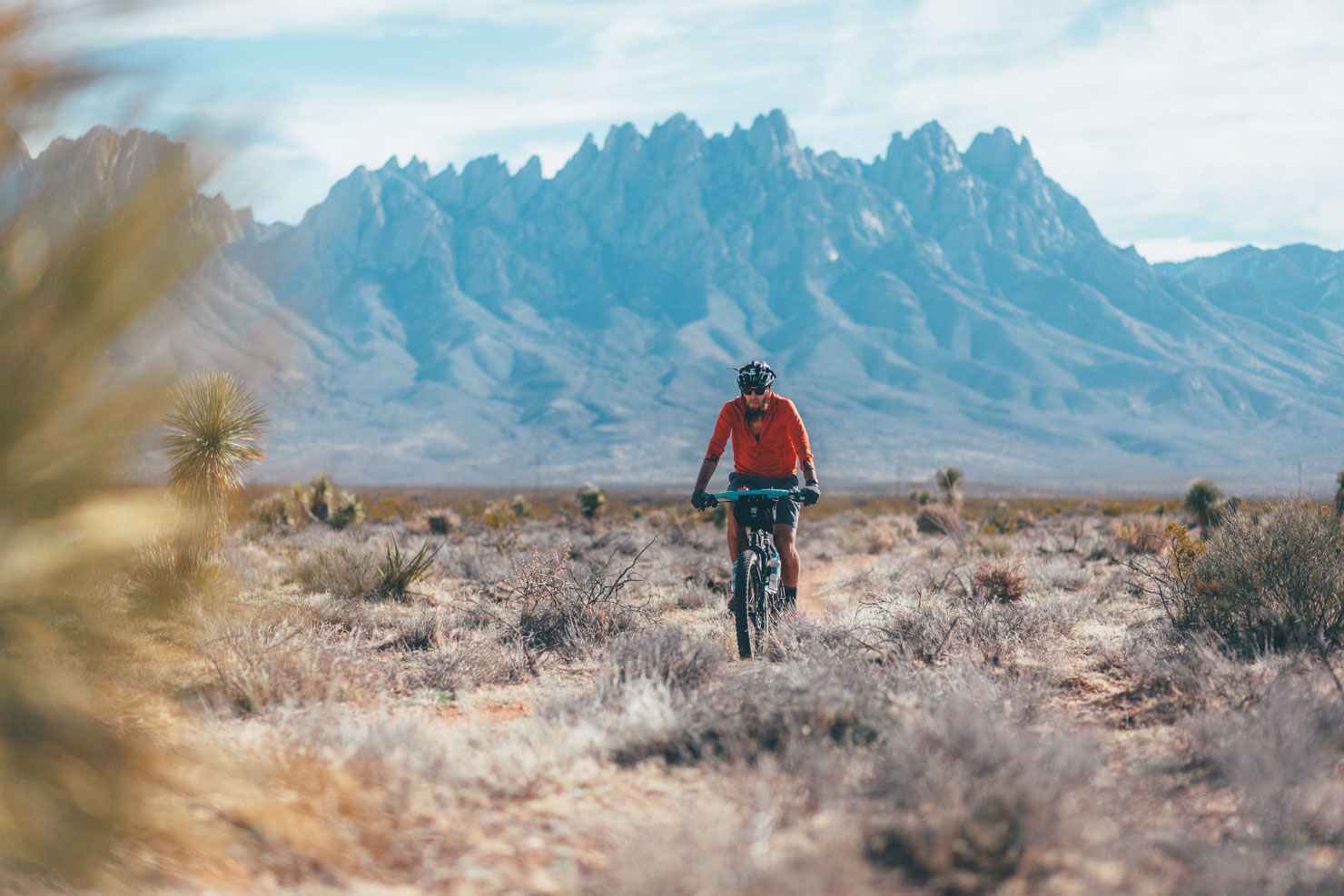
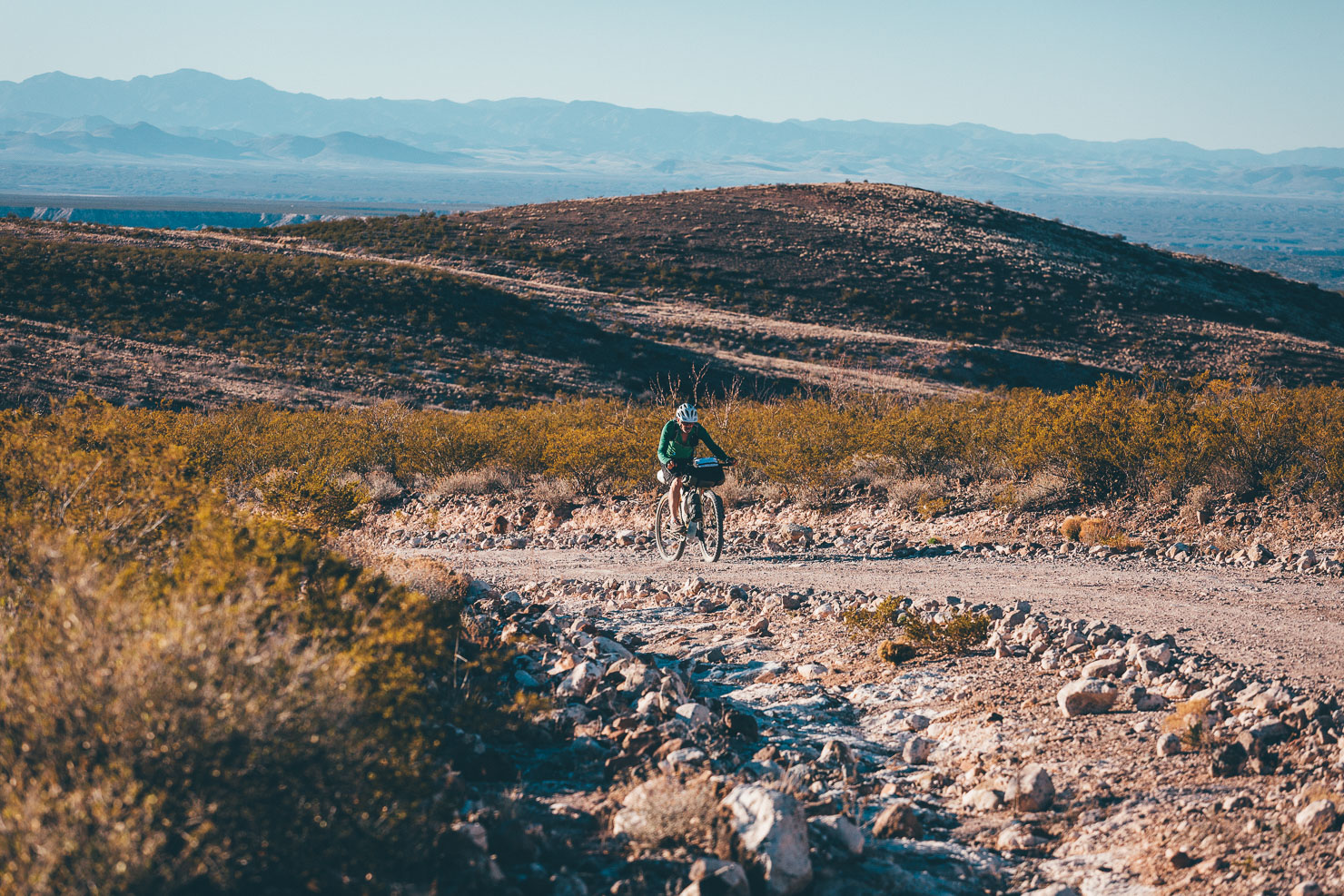
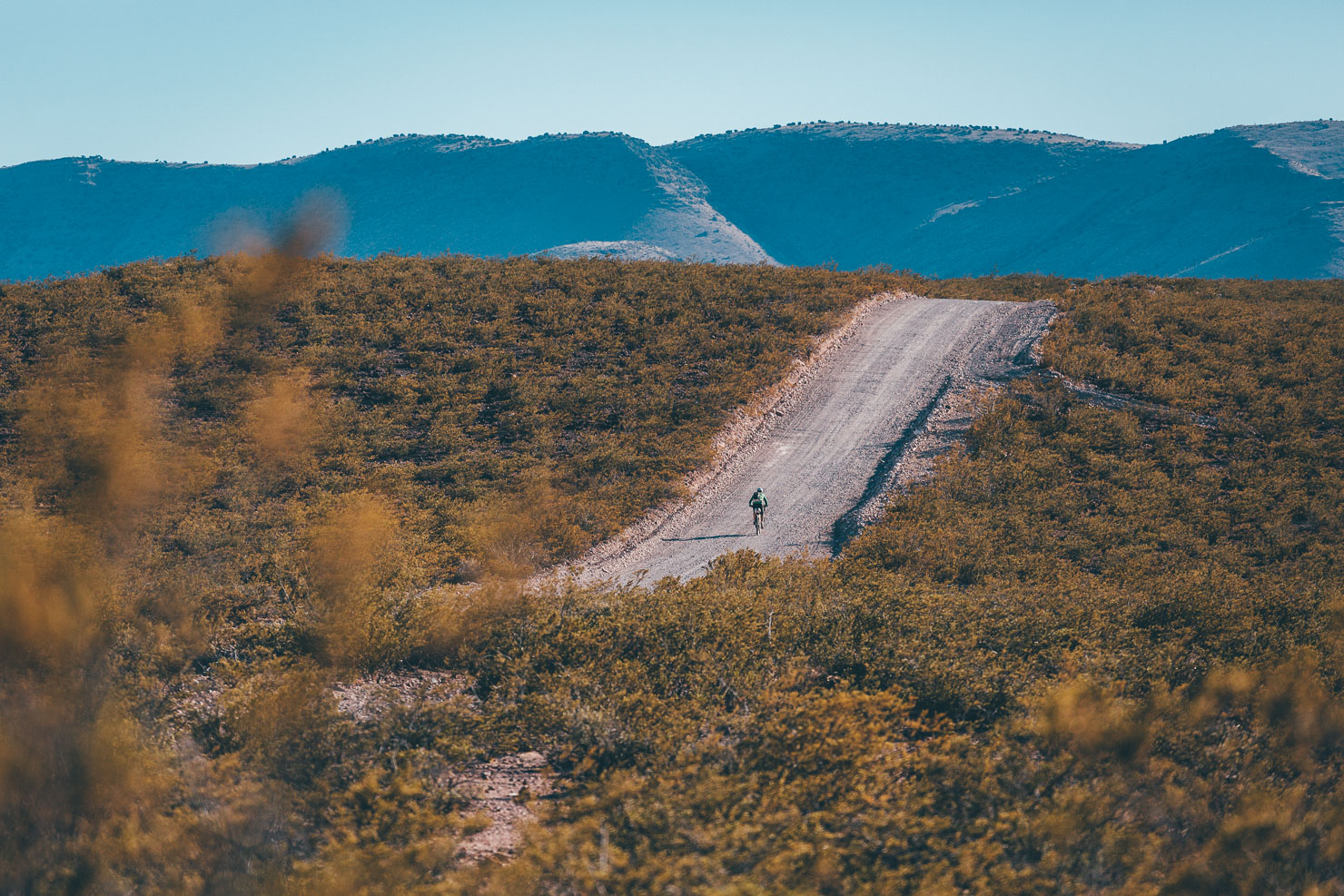
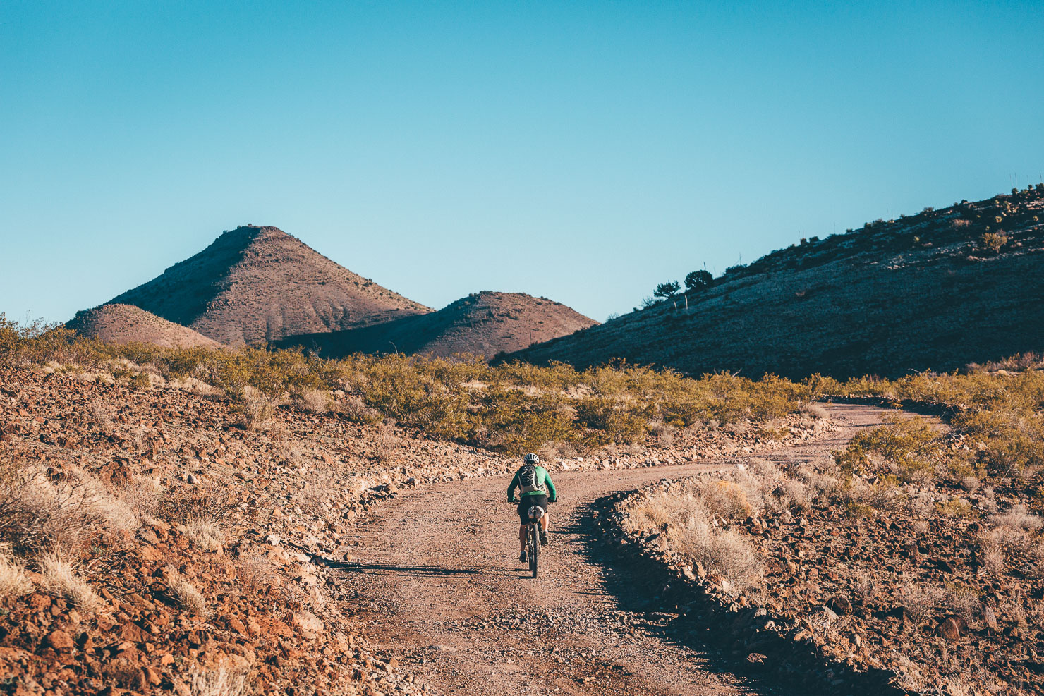
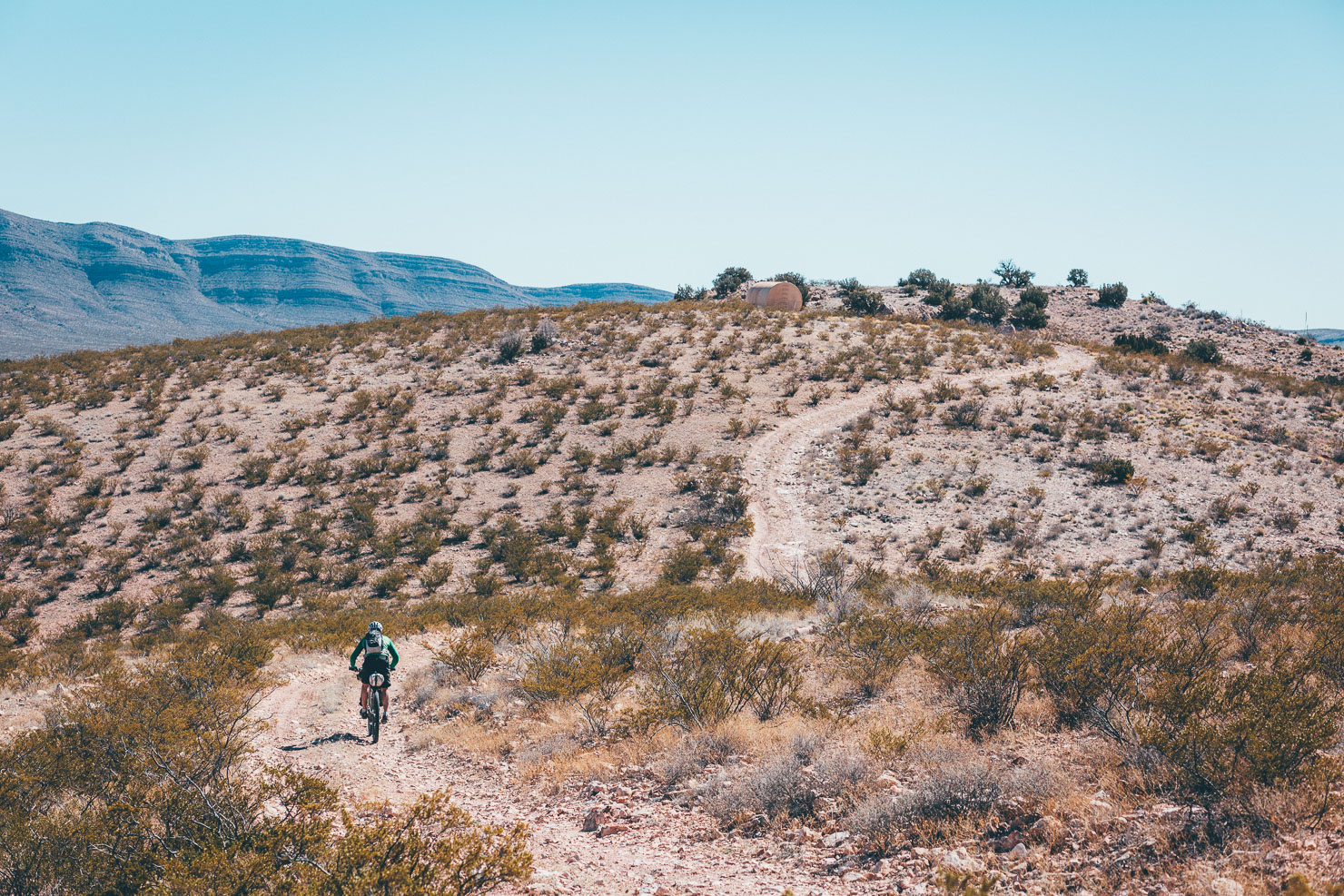
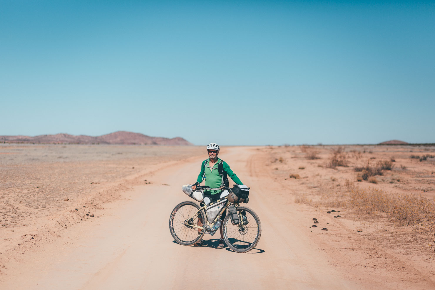
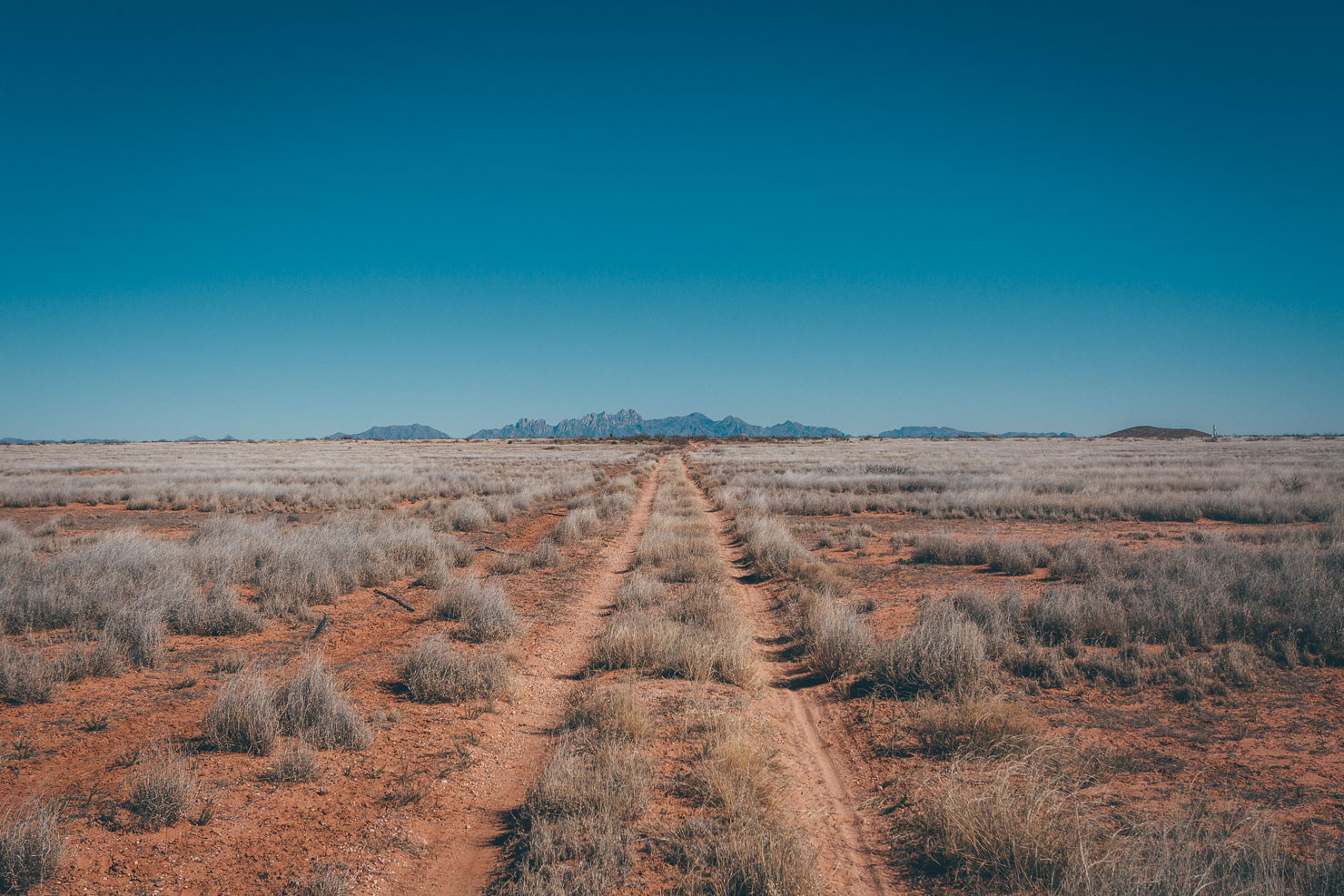
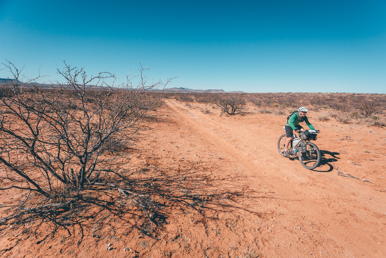
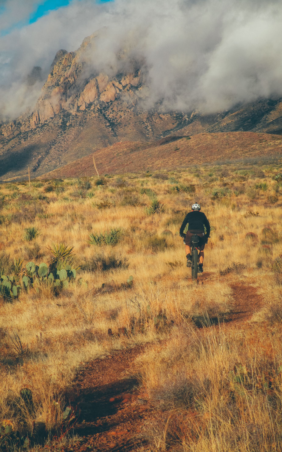
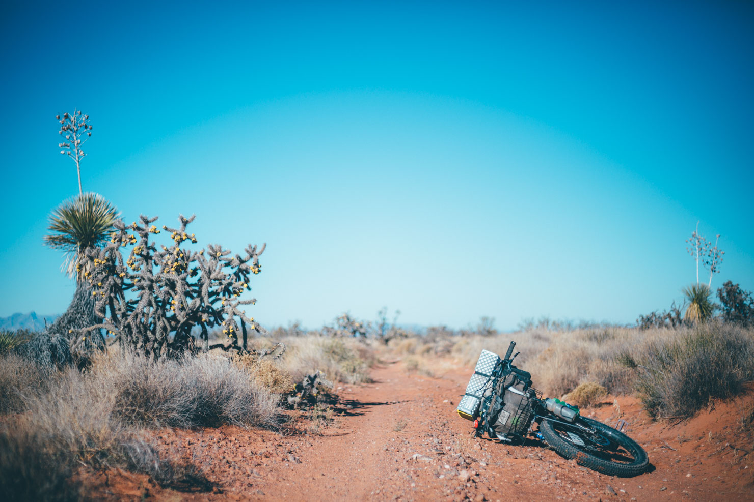
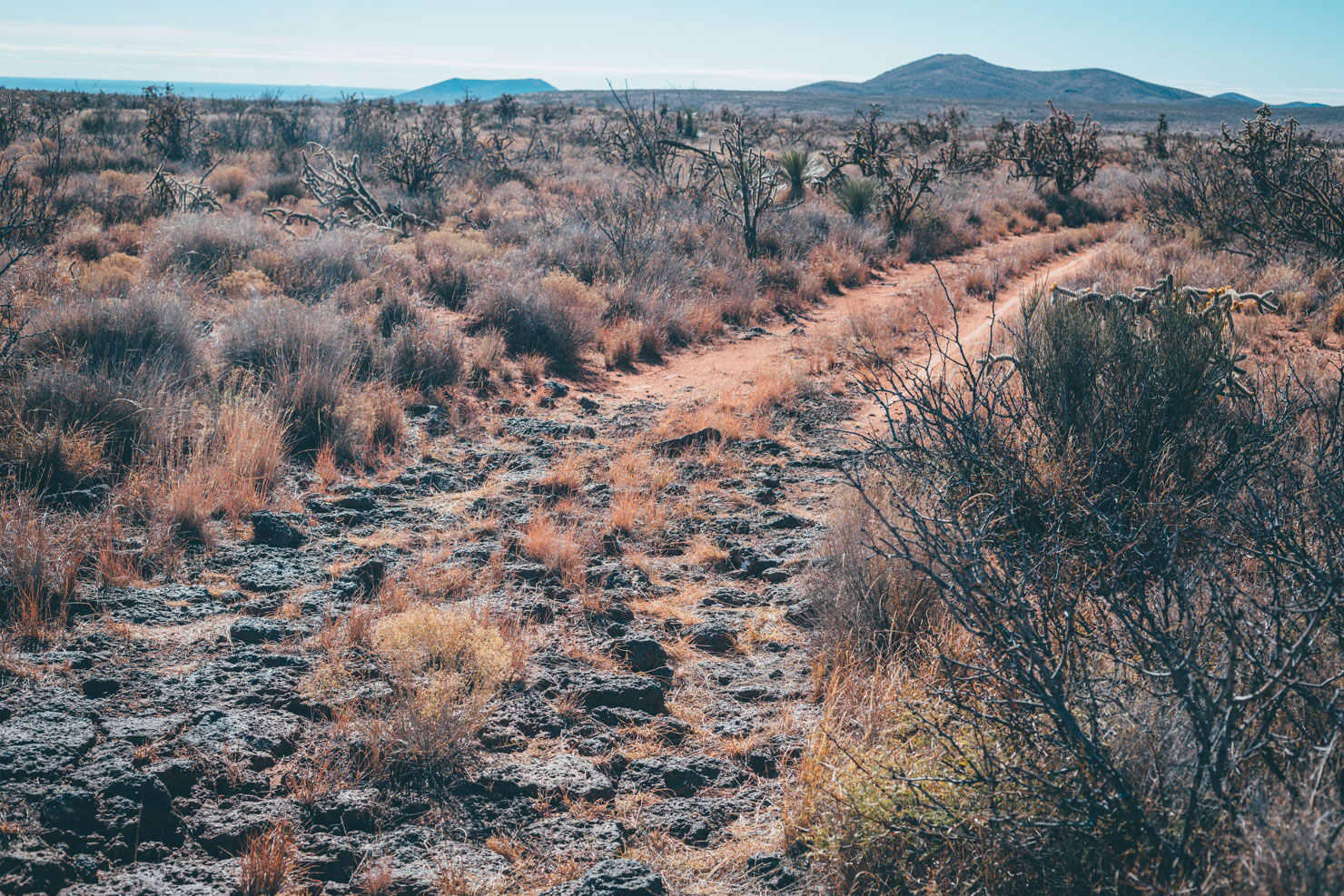
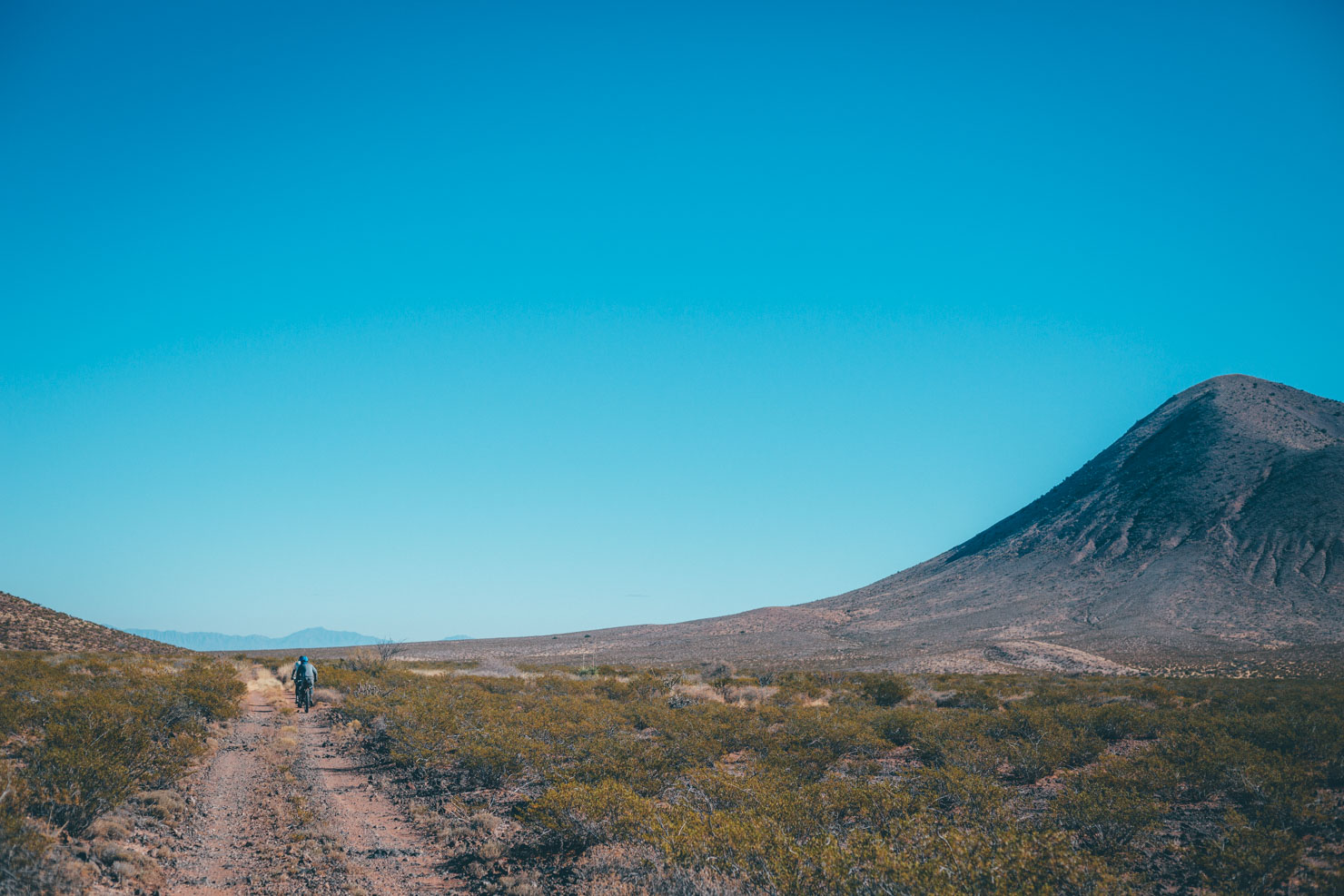
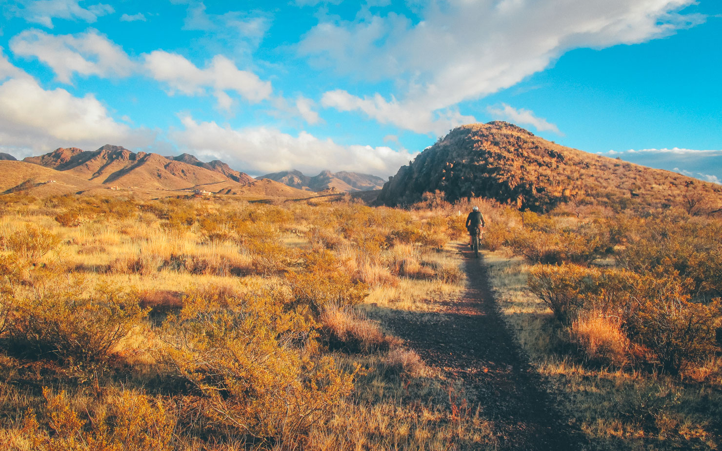
In terms of singletrack, the Monumental Loop includes one of the longest sections of uninterrupted desert trails in the area – the 29 mile, flowy Sierra Vista Trail – as well as numerous stretches of Las Cruces’ local trail network. This being the desert there’s a few stretches of sand and rocks to contend tackle; the longest of these are found near Tonuco and White Gap Pass. In terms of suitable setups, 2.4in tires work best given such a broad range of terrain – though 2.0 will certainly get you round the route, as long as you don’t mind a little pushing.
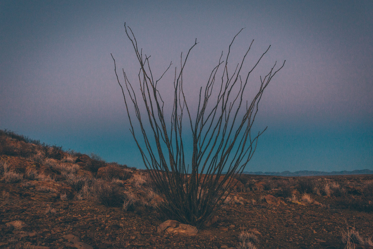
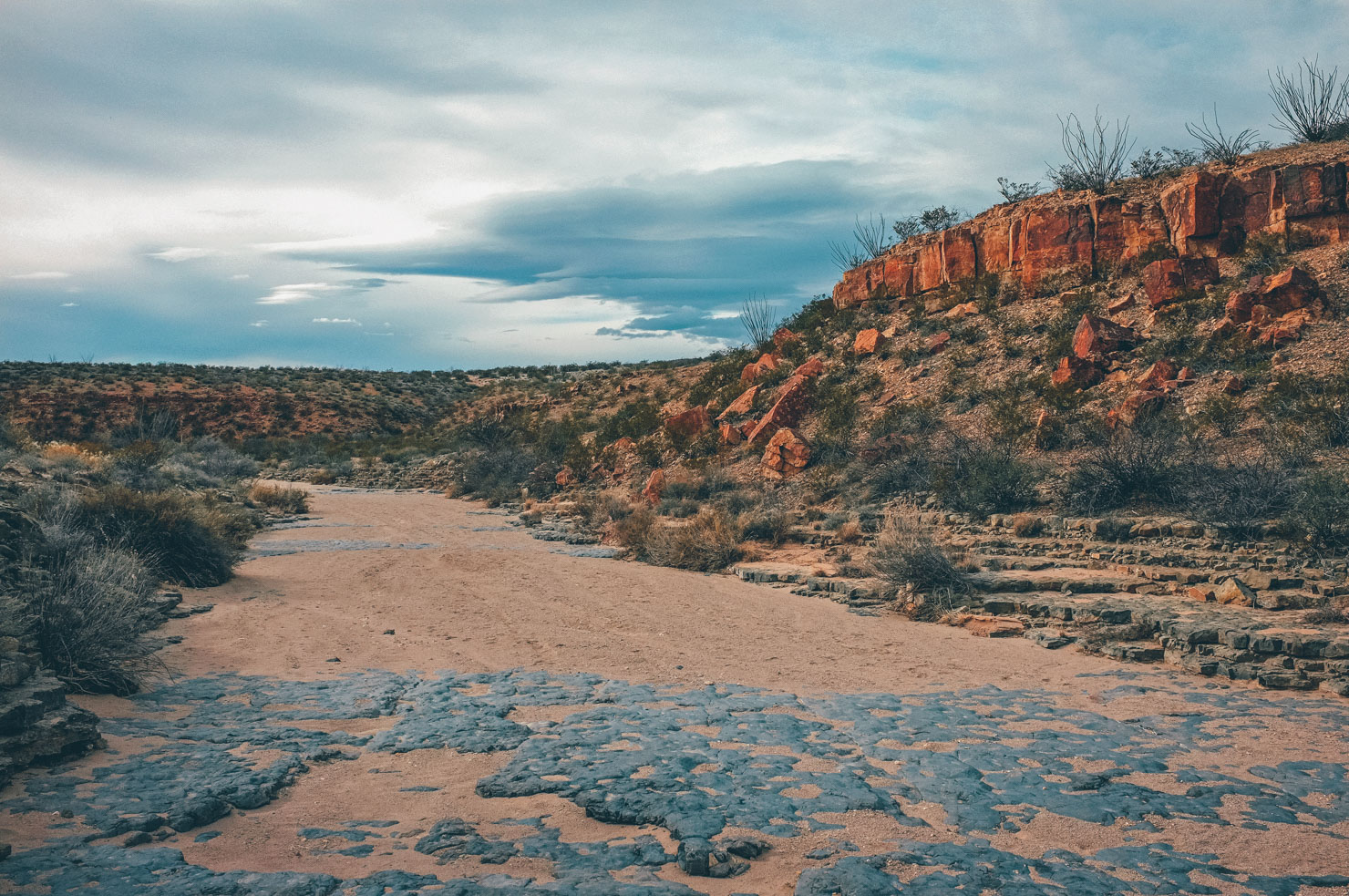
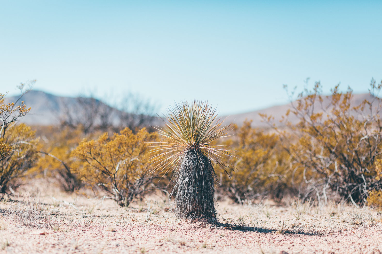
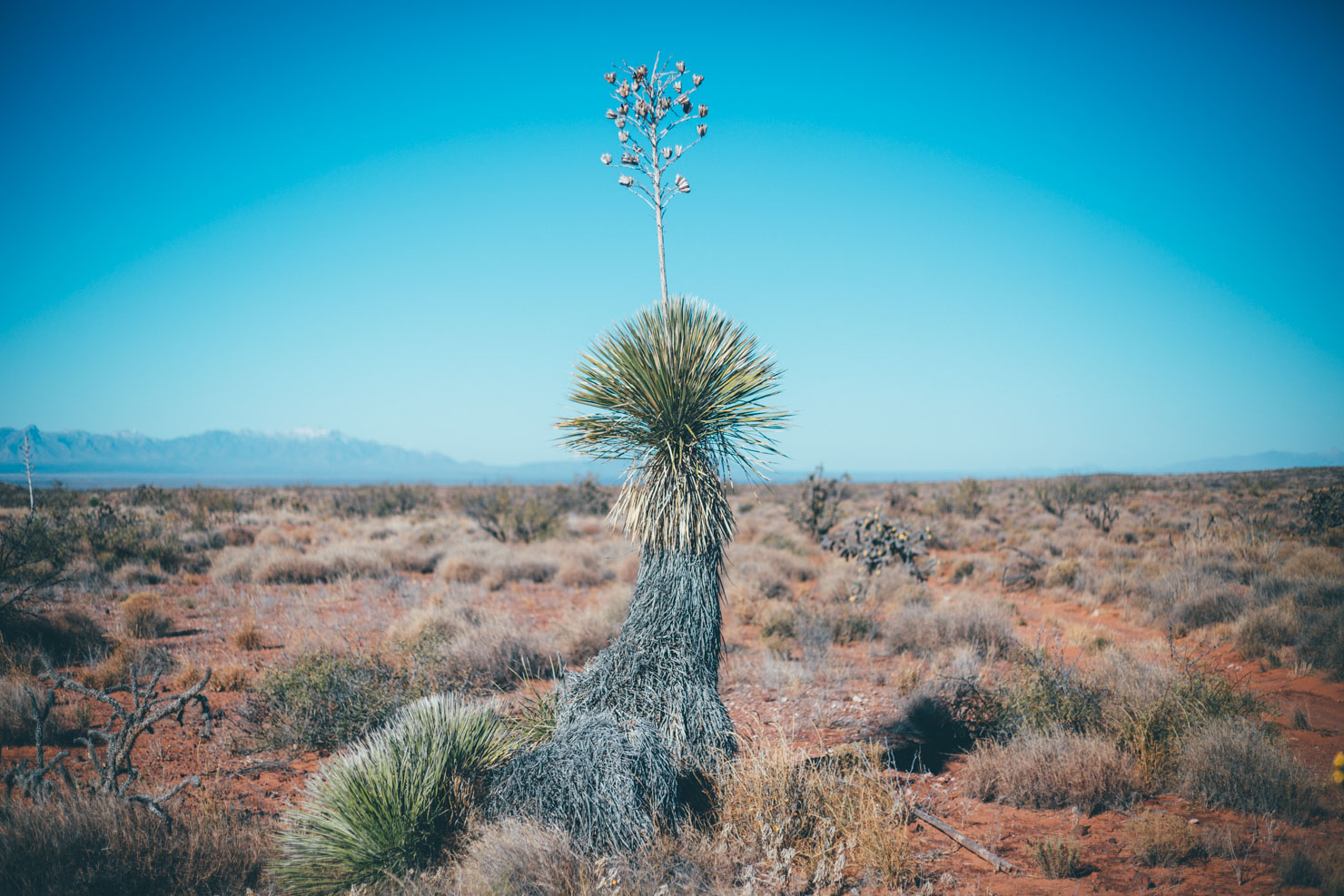
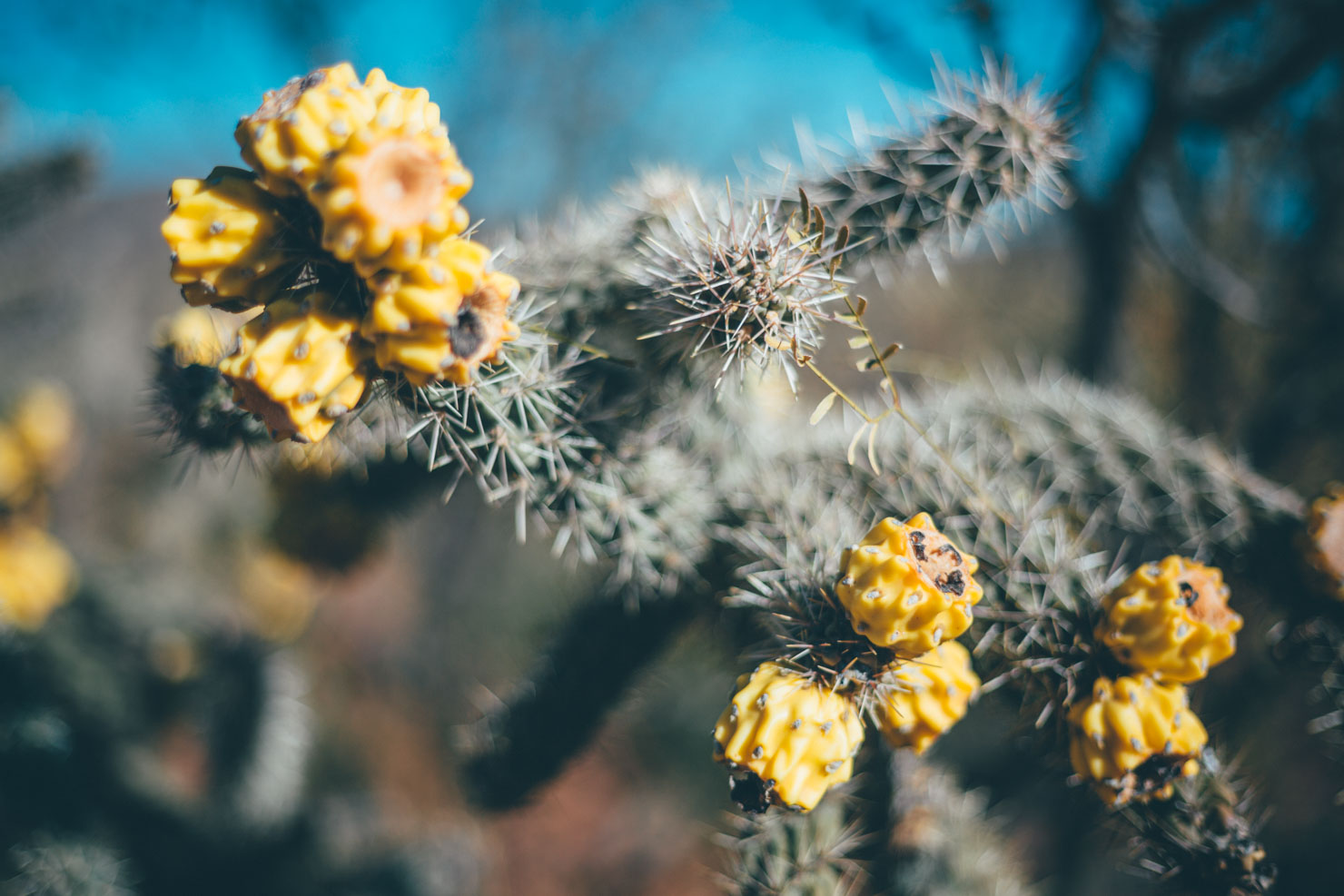
The Monumental Loop lies within the Chihuahuan Desert, a subtle and serene place. A basic understanding of its flora and fauna will help in your appreciation of its qualities. Look out for the many species of New Mexico’s state flower, yucca, towering alongside ocotillo, both well above the multitude of cacti and grasses that carpet the desert floor. Even including the stout barrel cactus, which is capable of piercing a sidewall, cacti don’t live up to their fearsome reputation. Velvety multi-colored flowers and sweet fruits define the family as much as spines. While most vegetation is armed with spikes, spines, or thorns there are a few species, such as sacred datura, broom snakeweed, and creosote bush that use a chemical means of protection. Some of these chemicals contribute to the deserts characteristic smell, especially after rains.
As for fauna, it will take a sharp eye, or maybe even some night riding, to have a chance of glimpsing the desert’s animal residents. Raptors are an exception, commonly seen surveying for jackrabbits, kangaroo rats, and an expansive menu of reptiles. Coyotes announce their presence with erratic calling throughout the night but manage to disappear by sunrise. Careful inspection of sandy arroyos often reveals tracks of mule deer, javelina, bobcat, and fat bikes…
Route Development: Development of the Monumental Loop has been spearheaded by Matt Mason, with collaboration from Jack Kirby, Dan Carter, and other Las Cruces bikepackers. Words and Images by Matt Mason, Cass Gilbert, and Eugene Smith. Watch an interview with the founders on our YouTube channel.
Southern New Mexico Trail Alliance
Bikepacking is a great way to explore the Organ Mountains Desert National Monument. One can ride from the city of Las Cruces in any direction and have hundreds of miles of riding to explore. If you ride the Monumental Loop or are interested in other bikepacking options in the National Monument, contact the Southern New Mexico Trail Alliance.
See Trail Notes for how the ride can be broken up into four segments, with an accompanying description for each.


Submit Route Alert
As the leading creator and publisher of bikepacking routes, BIKEPACKING.com endeavors to maintain, improve, and advocate for our growing network of bikepacking routes all over the world. As such, our editorial team, route creators, and Route Stewards serve as mediators for route improvements and opportunities for connectivity, conservation, and community growth around these routes. To facilitate these efforts, we rely on our Bikepacking Collective and the greater bikepacking community to call attention to critical issues and opportunities that are discovered while riding these routes. If you have a vital issue or opportunity regarding this route that pertains to one of the subjects below, please let us know:
Highlights
Must Know
Camping
Food/H2O
Trail Notes
Resources
- 25 miles of beautiful, open desert singletrack!
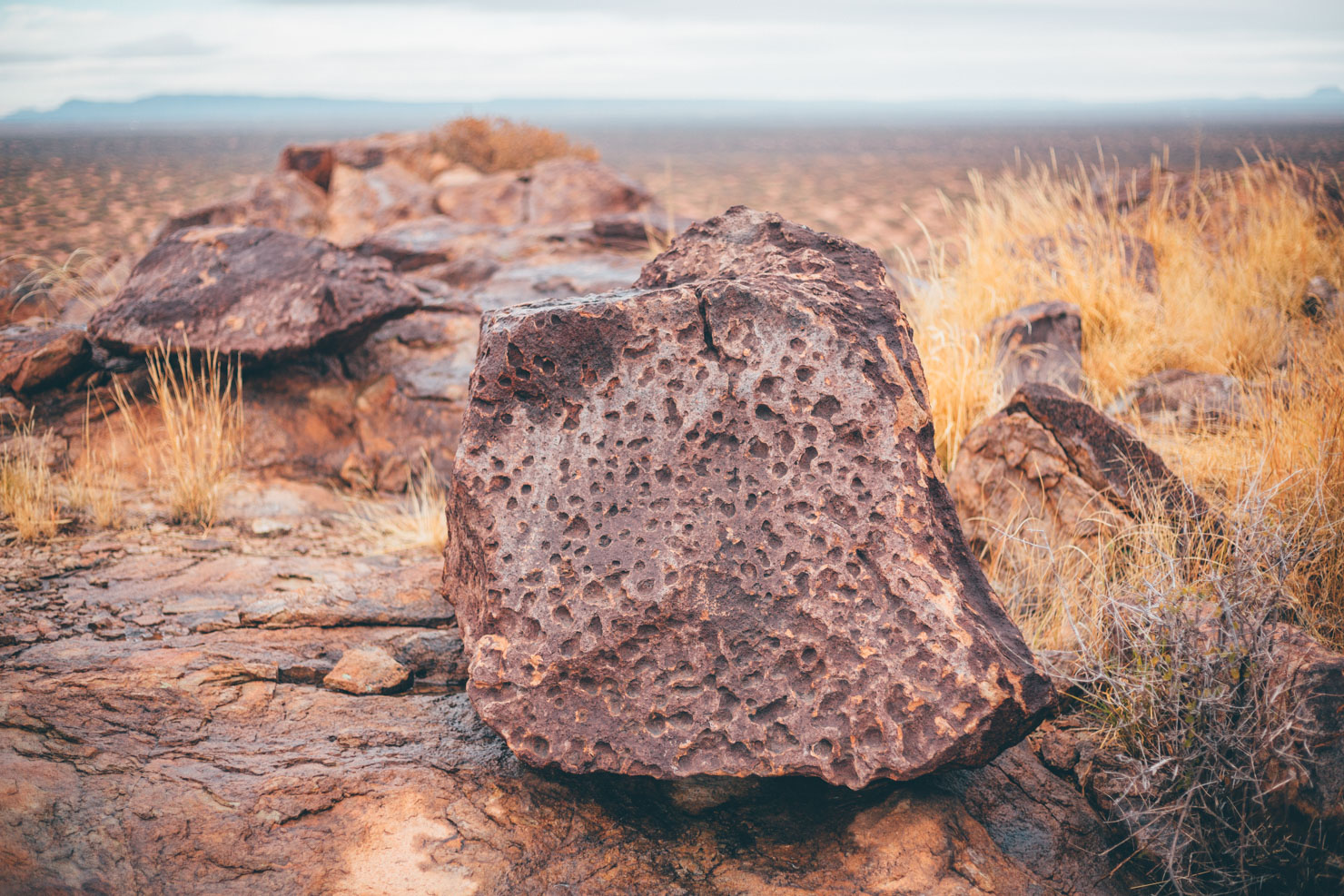
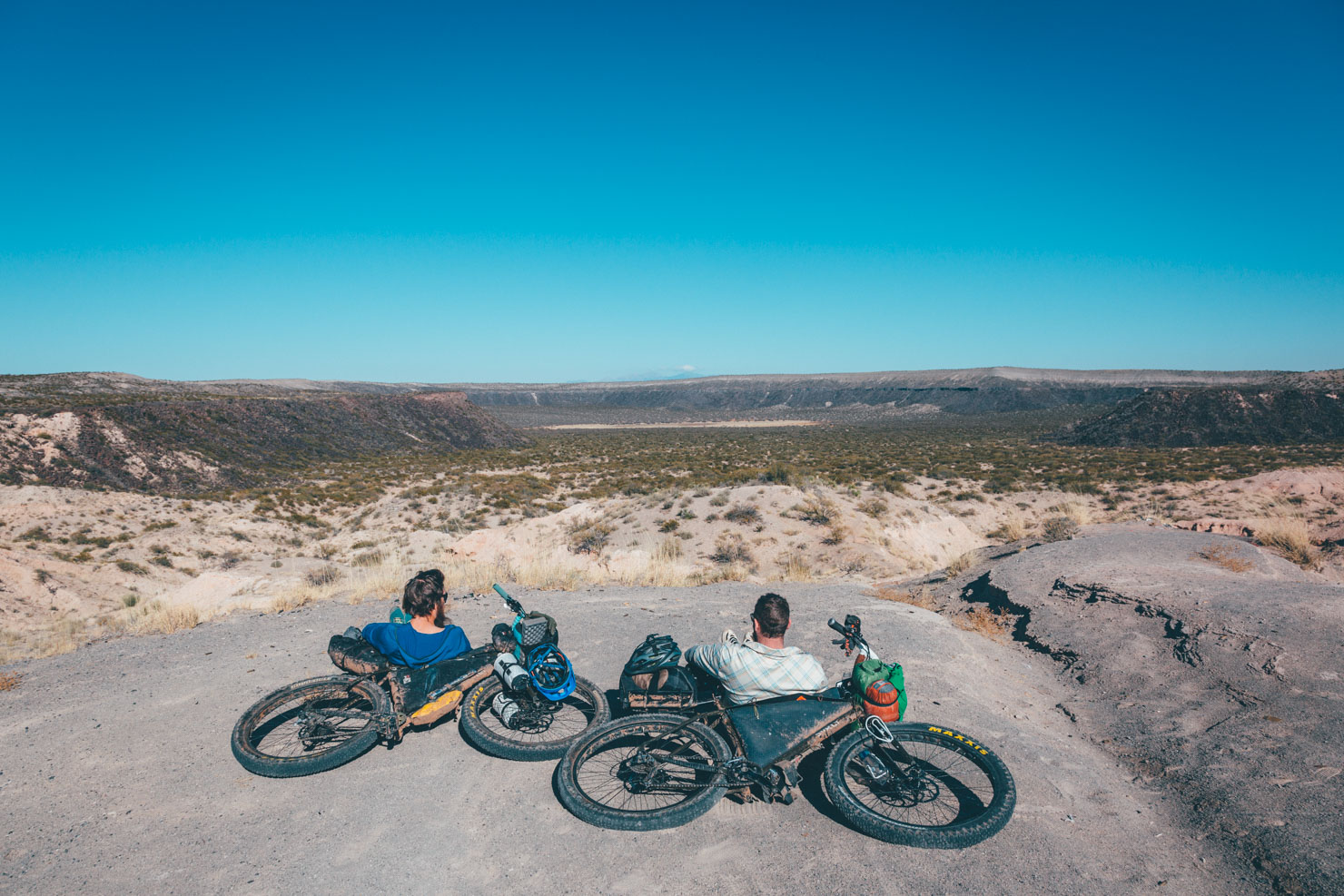
- Varied geology including 6 distinct mountain ranges, lava flows, cinder cones, and slot canyons.
- Petroglyphs at Lucero Wash, Tonuco Mountains, Broad Canyon, Providence Cone.
- Space… the Organ Mountains and Desert Peaks covers a massive 500,000 acres.
- Solitude… and star-filled desert skies.
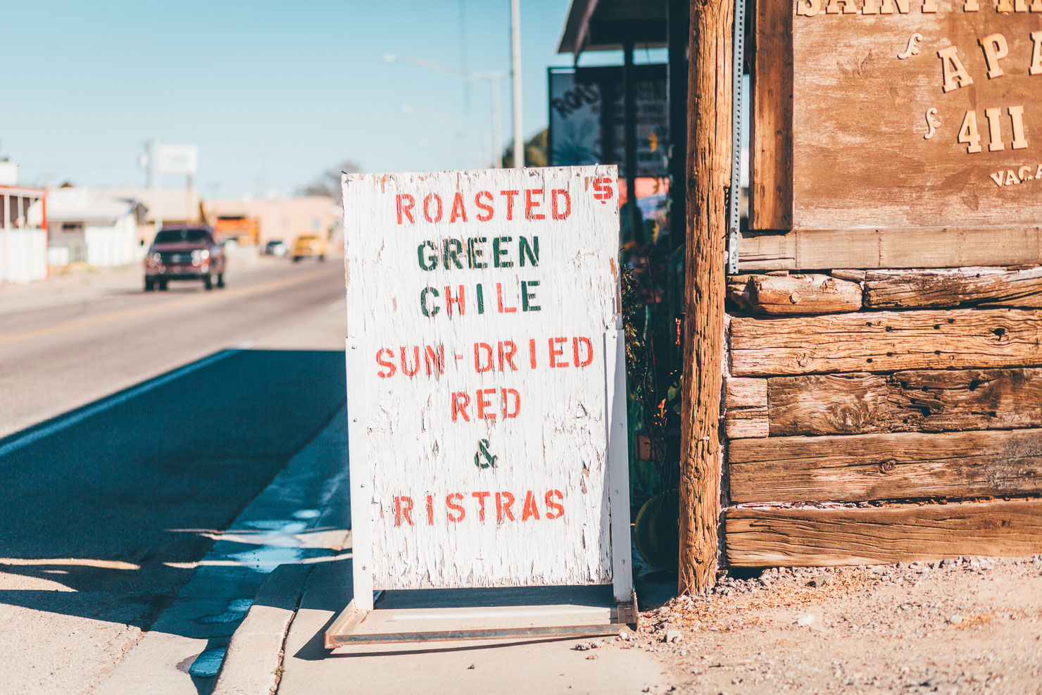
- Green chile!
- October-April; expect to wear T-shirt and shorts in the daytime, but pack a 30-degree sleeping bag to stay cosy at night. Spring can be extremely windy at times.
- Bike setup; 2.4in tires work best given such a broad range of terrain – though 2.0 will certainly get you round the route, as long as you don’t mind a little pushing.
- The route uses sections of public roads and trails that cross private land and working ranches. Please be sure to close gates whenever you open them.
- Scorpion, snakes and other critters aren’t a major issue in the winter, though they do exist. A fully enclosed tent isn’t required but may be good for peace of mind.
- Do not attempt this route in summer! Temps hit well over a 100 degrees Fahrenheit.
- Tubeless tires and repair kits are critical. Sharp rocks and vegetation are common. Take care when riding through Cone Country!
- Outdoor Adventures has all the desert-specific spares you’ll need.
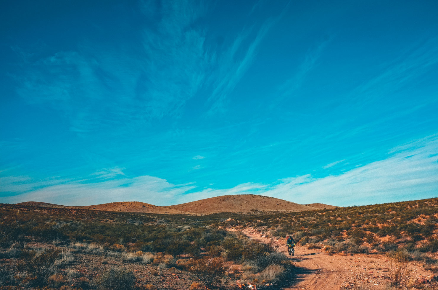
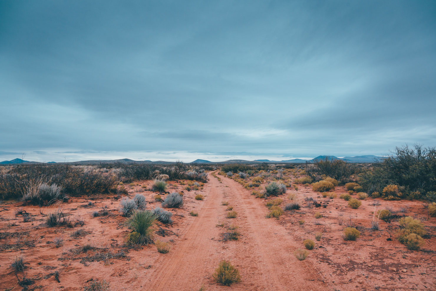
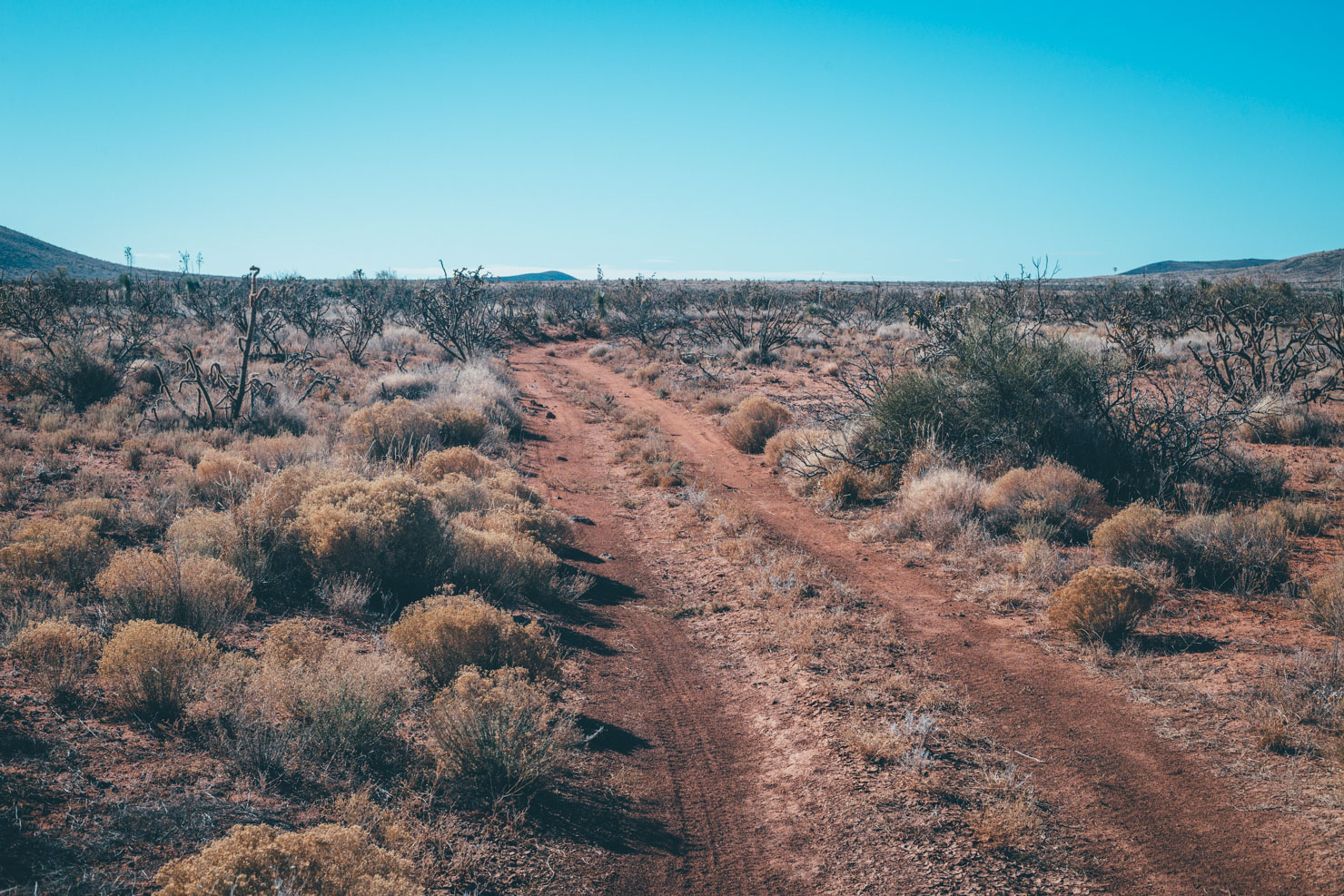
- Terrain is extremely mixed; expect well-behaved gravel roads, faint desert singletrack, some sandy arroyos, and extremely chunky doubletrack. Although the majority of the route is rideable, expect to push/carry your bike at times, depending on your mountain biking skills, riding confidence, and tire choice.
- Logistics: check the Trail Notes section for logistics between El Paso/ABQ and Las Cruces.
- Users should be aware that land ownership and permitted uses vary along the Monumental Loop. Please be aware of this while you are riding the loop and follow any necessary rules and regulations. To access land managed by the State of New Mexico, see their Recreational Access website for details. Or contact the Southern New Mexico Trail Alliance with any questions.
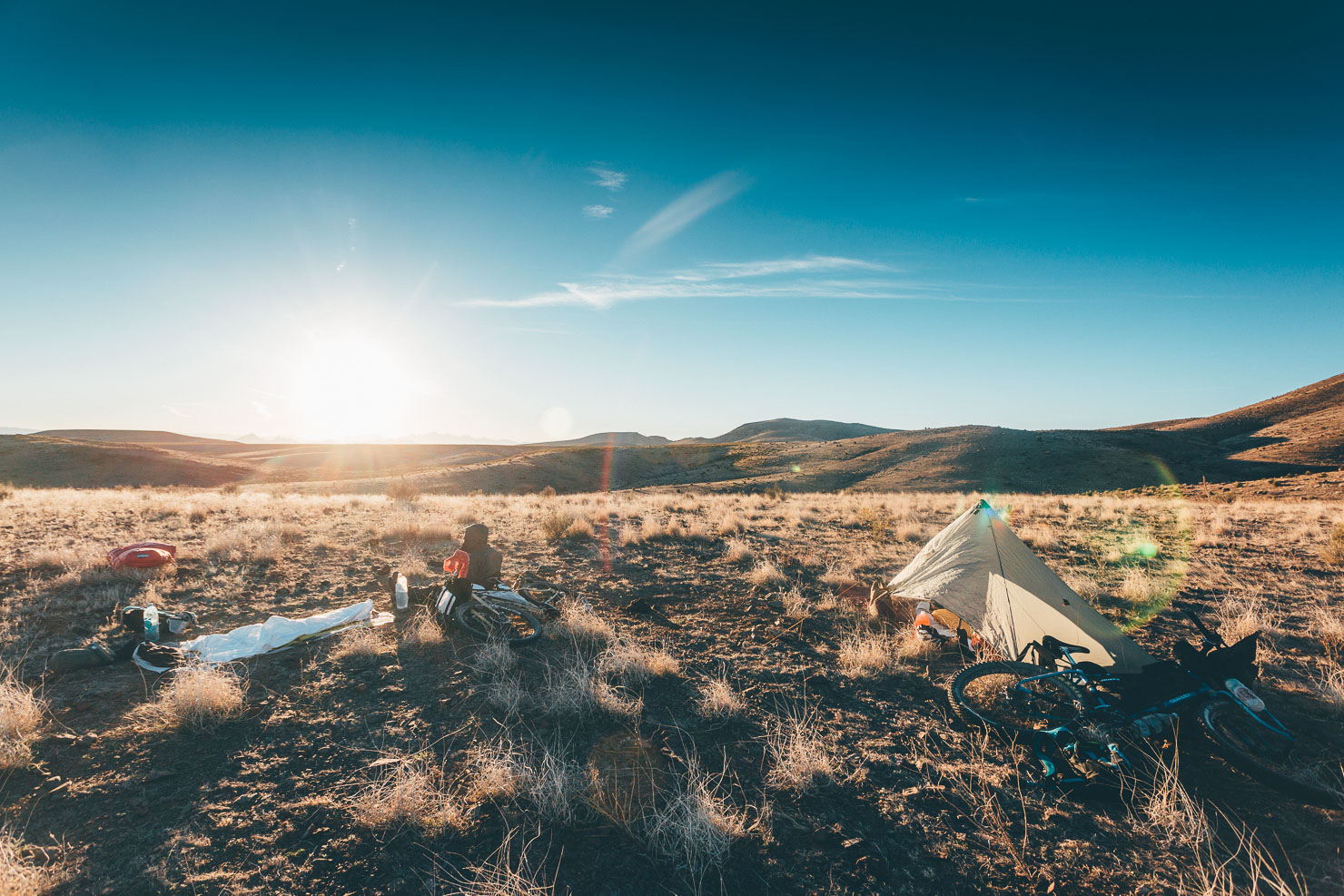
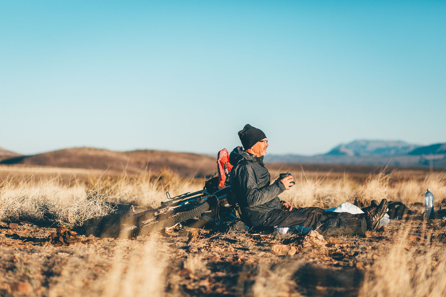
- Primitive camping is available throughout the route; sandy, dry, flat campsites are abundant. #leavenotrace.
- Although critters are rarely an issue over winter, pitch your tent or tarp away from vegetation where possible.
- Keep campsites out of washes for warmth and to avoid the risk of flash floods.
- Camping at or near cattle tanks, corrals, etc… is discouraged. Despite being on public land, it is best practice to regard any ranching structure as private property.
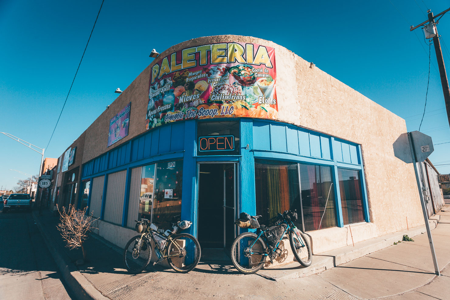
- Full service stops are found in Las Cruces, Doña Ana, Radium Springs, Hatch, Vado, and Vinton.
- Hatch is the green chile capital of the world! Be sure to check out Sparky’s diner. A line forms Thursday-Sunday for its famous green chile cheeseburgers, outside of which Sparky’s is closed.
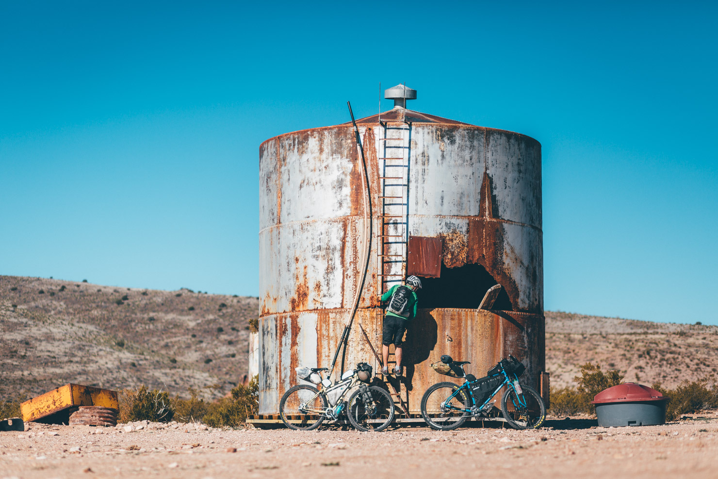
- Filterable water is found in cattle tanks. Each tank is unique; careful inspection and creative thinking may be required to access water.
- Cattle tanks noted on map frequently have water but can’t be guaranteed.
- Plan on 4L of water capacity. Water is available at regular intervals, about 20 miles, along the route. Water sources on the western half are slightly less reliable.
- Never pass up a water source.
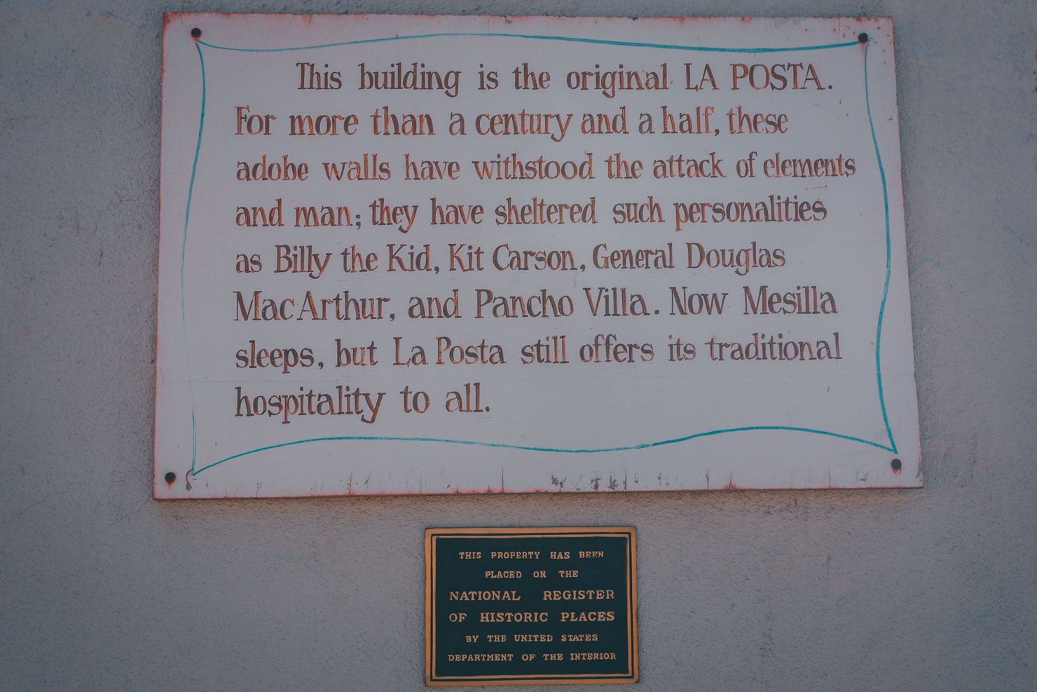
- Round off your Monumental experience with a visit to Habeneros Fresh Mex in Las Cruces. Try the delicious taco combination plate or chile relleno.
Segment 1 Las Cruces-Hatch 56 miles
An inviting mix of multi-use paths, irrigation ditches, and a taste of singletrack comprise the early miles. Several resupply points are available and the only major obstacle is scenic, but rough, Tonuco Mountain.
Segment 2 Hatch-Mesilla 57 miles
After a few miles of pavement the route heads into and ultimately over the Sierra de Las Uvas. A dozen miles of challenging riding, then it’s a mellow cruise across the desert plains before dropping into Old Mesilla.
Segment 3 Mesilla-La Union 50 miles
Lovely singletrack with massive views of the Organs and a dozen other ranges dominate this segment. The final miles into La Union wind through the farms and orchards of the Rio Grande valley.
Segment 4 La Union-Las Cruces 84 miles
Bordering the numerous wilderness areas of Cone Country these final miles are flat and scenic. Killbourne Hole and Aden Crater provide opportunities to get off the bike and explore some desert oddities.
Arriving from El Paso?
The Park and Ride Gold Route service operated by NM DoT runs a commuter bus every weekday between downtown El Paso and Las Cruces. It’s $3 and you can throw bikes underneath. It will drop you off at the University, which is right on the route. Make sure you have the exact change and check the small print for holiday schedules.
The El Paso-La Limousine Express is a charter bus from El Paso to LA and ABQ that stops in Las Cruces. You can take your bike on this bus as well. It is $13 one way from El Paso to Las Cruces and runs every day. There’s no charge for a bike, but space is sometimes limited.
Public transit is available from the airport to downtown El Paso on the Sun Metro service. These buses provide bike racks. Plus bikes fit, just, with tires deflated.
There are also shuttle services from the El Paso airport to downtown and all the way to Las Cruces. More info on the El Paso airport website.
Coming from Albuquerque?
The El Paso-LA Limousine Express runs a service between ABQ and Las Cruces; $56 round trip, inc bikes. Check the schedule here.
Additional Resources
- Organ Mountains Desert Peaks National Monument – everything you need to know about the Monument.
- Southern New Mexico Explorer – a fascinating source of geological and historical intrigue.
- Looking for more riding in the area? Check out the Southern NM Trail Alliance’s page on local bikepacking routes.


Terms of Use: As with each bikepacking route guide published on BIKEPACKING.com, should you choose to cycle this route, do so at your own risk. Prior to setting out check current local weather, conditions, and land/road closures. While riding, obey all public and private land use restrictions and rules, carry proper safety and navigational equipment, and of course, follow the #leavenotrace guidelines. The information found herein is simply a planning resource to be used as a point of inspiration in conjunction with your own due-diligence. In spite of the fact that this route, associated GPS track (GPX and maps), and all route guidelines were prepared under diligent research by the specified contributor and/or contributors, the accuracy of such and judgement of the author is not guaranteed. BIKEPACKING.com LLC, its partners, associates, and contributors are in no way liable for personal injury, damage to personal property, or any other such situation that might happen to individual riders cycling or following this route.
Please keep the conversation civil, constructive, and inclusive, or your comment will be removed.