


Los Tres Volcanes, Ecuador
Distance
258 Mi.
(415 KM)Days
5
% Unpaved
75%
% Singletrack
15%
% Rideable (time)
95%
Total Ascent
36,915'
(11,252 M)High Point
14,550'
(4,435 M)Difficulty (1-10)
8?
- 9Climbing Scale Very Strenuous143 FT/MI (27 M/KM)
- -Technical Difficulty
- -Physical Demand
- -Resupply & Logistics
Contributed By

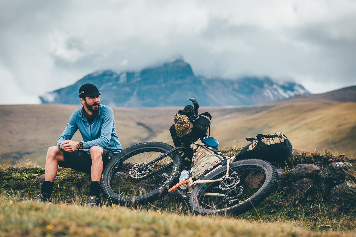
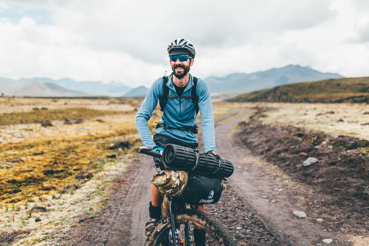
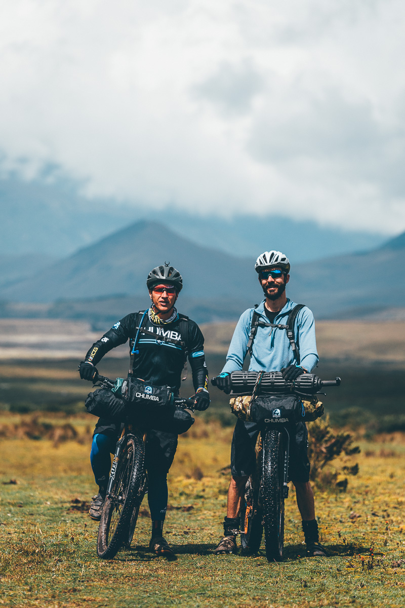
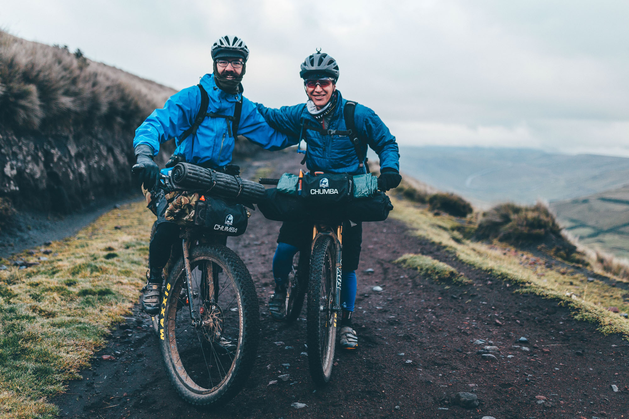
Cass Gilbert
Contributing Editor
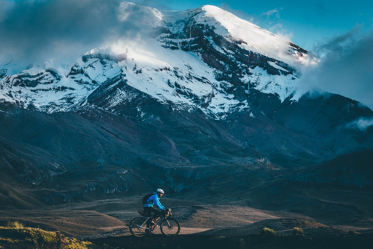
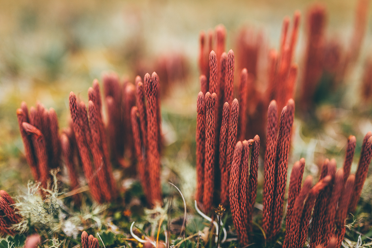
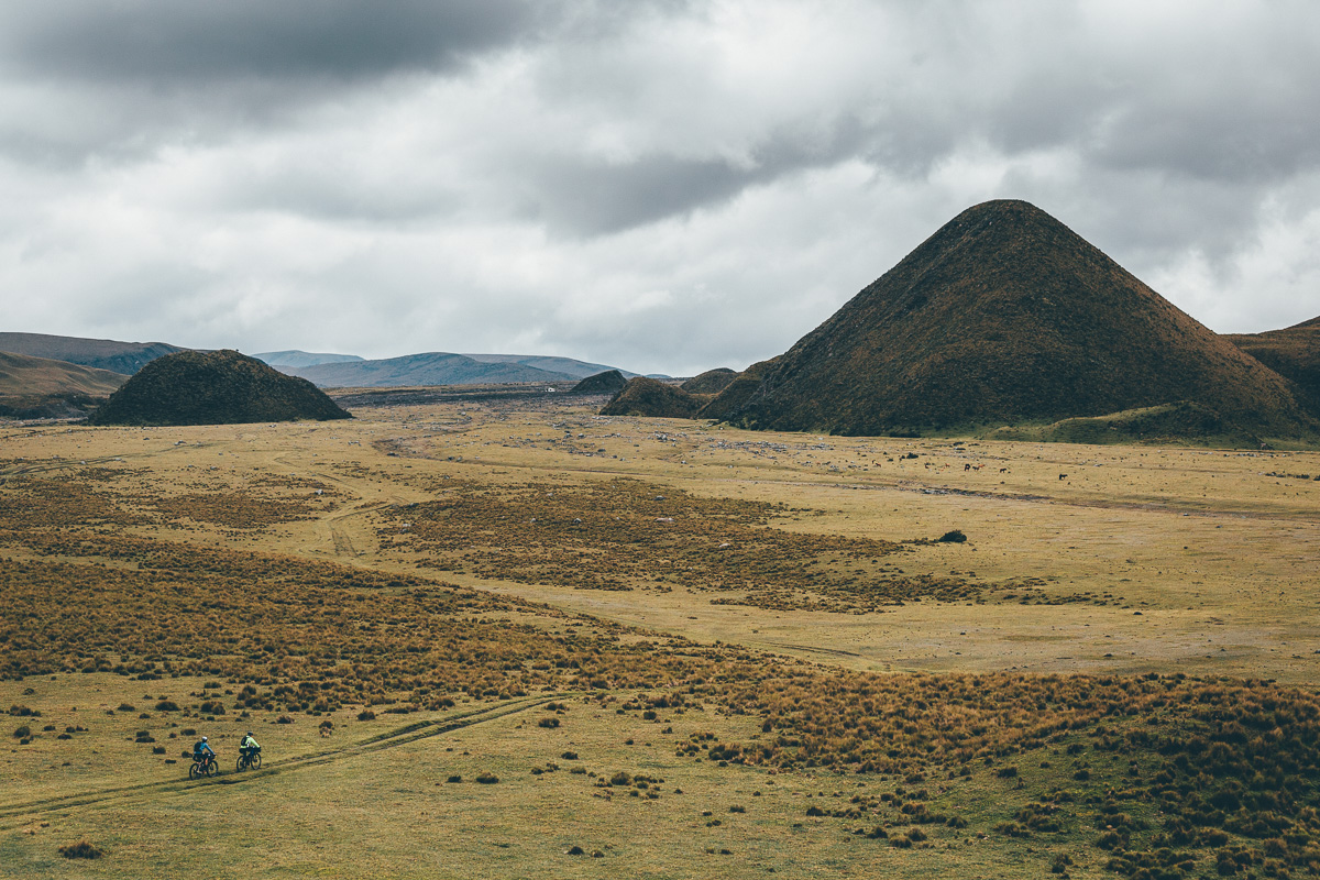
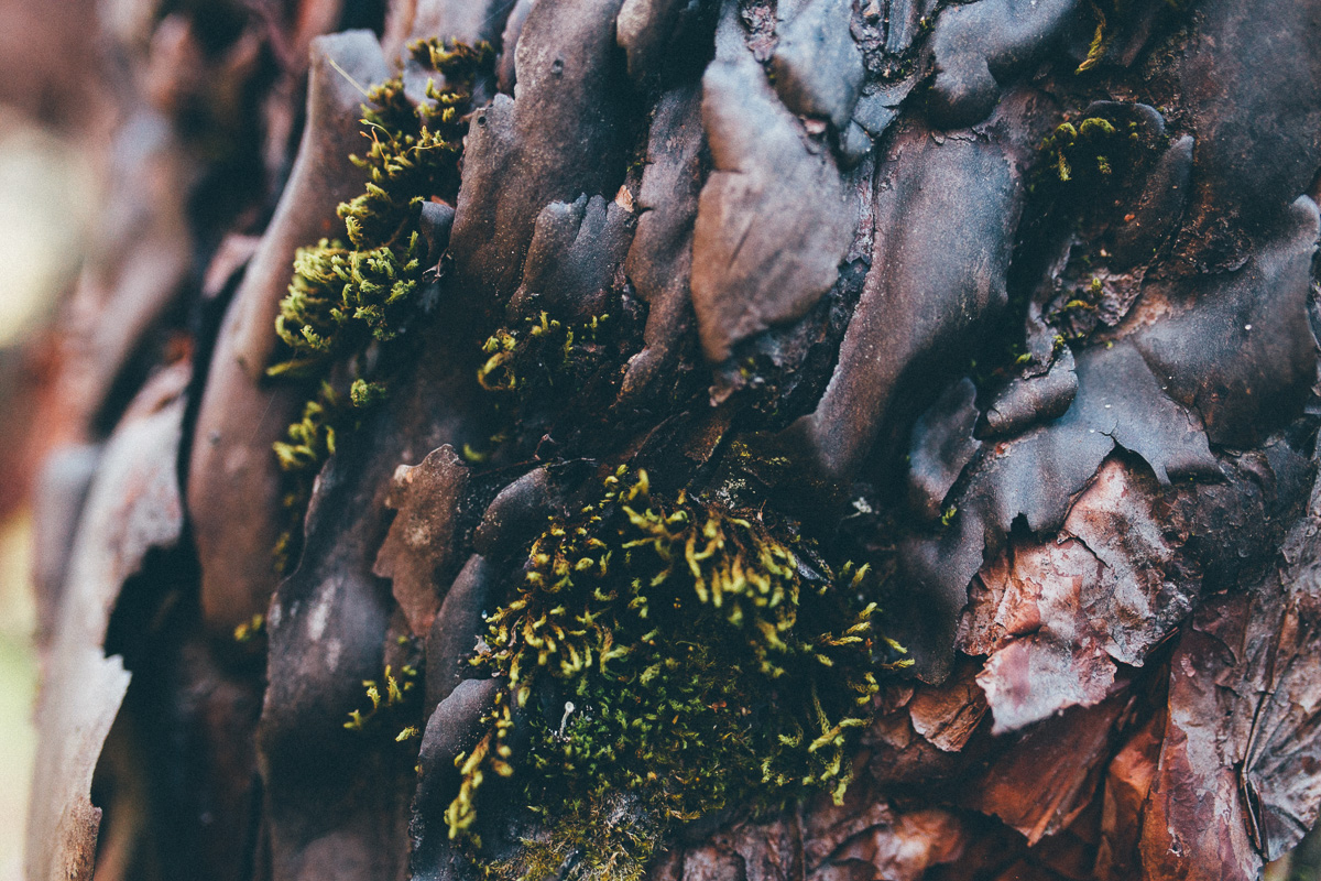
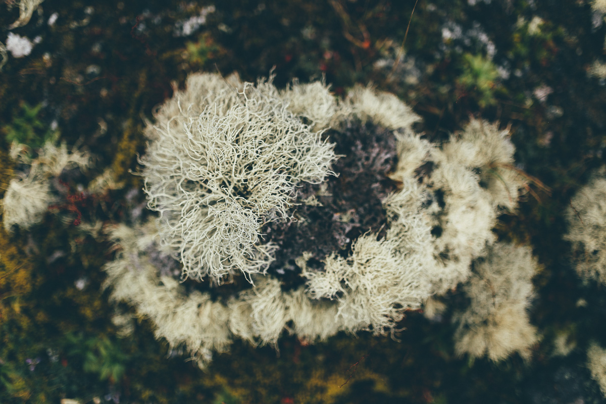
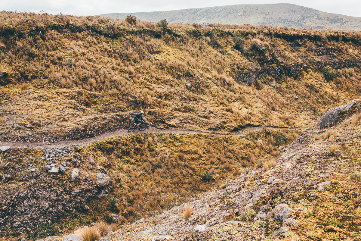
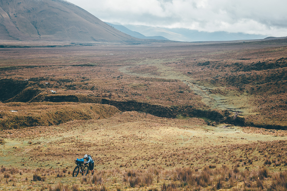
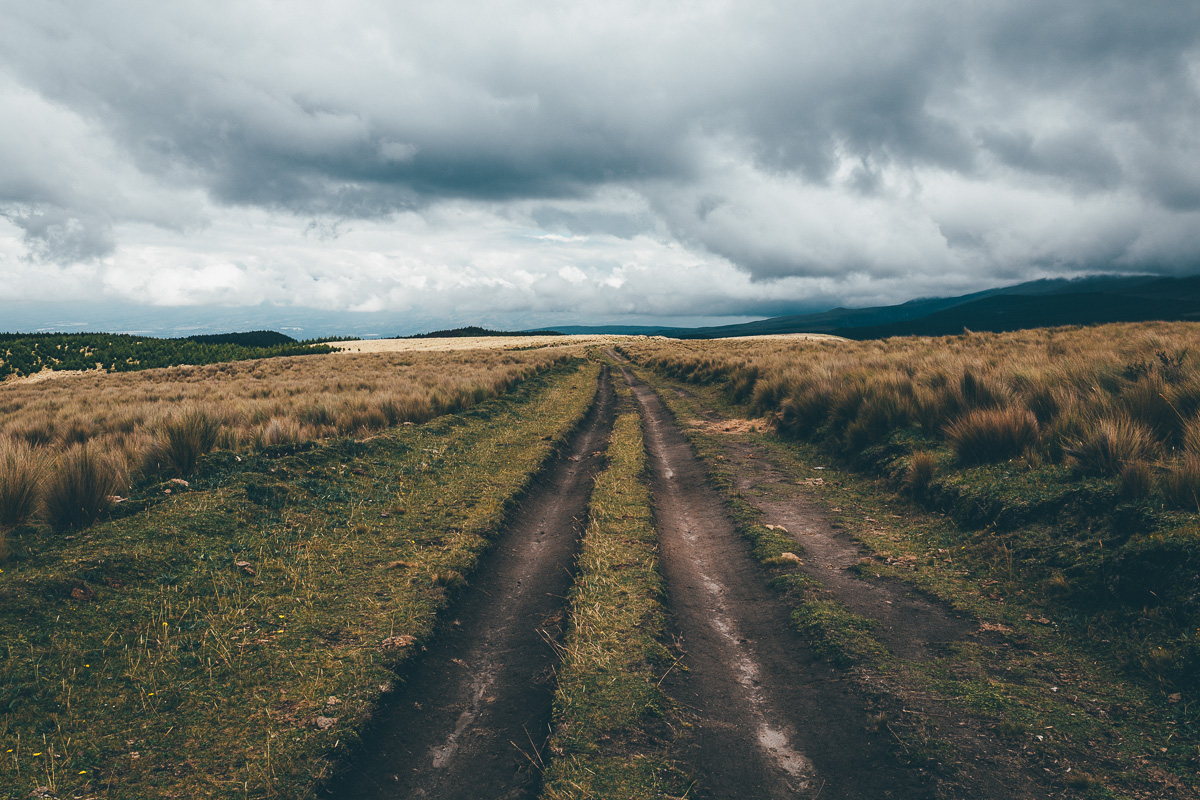
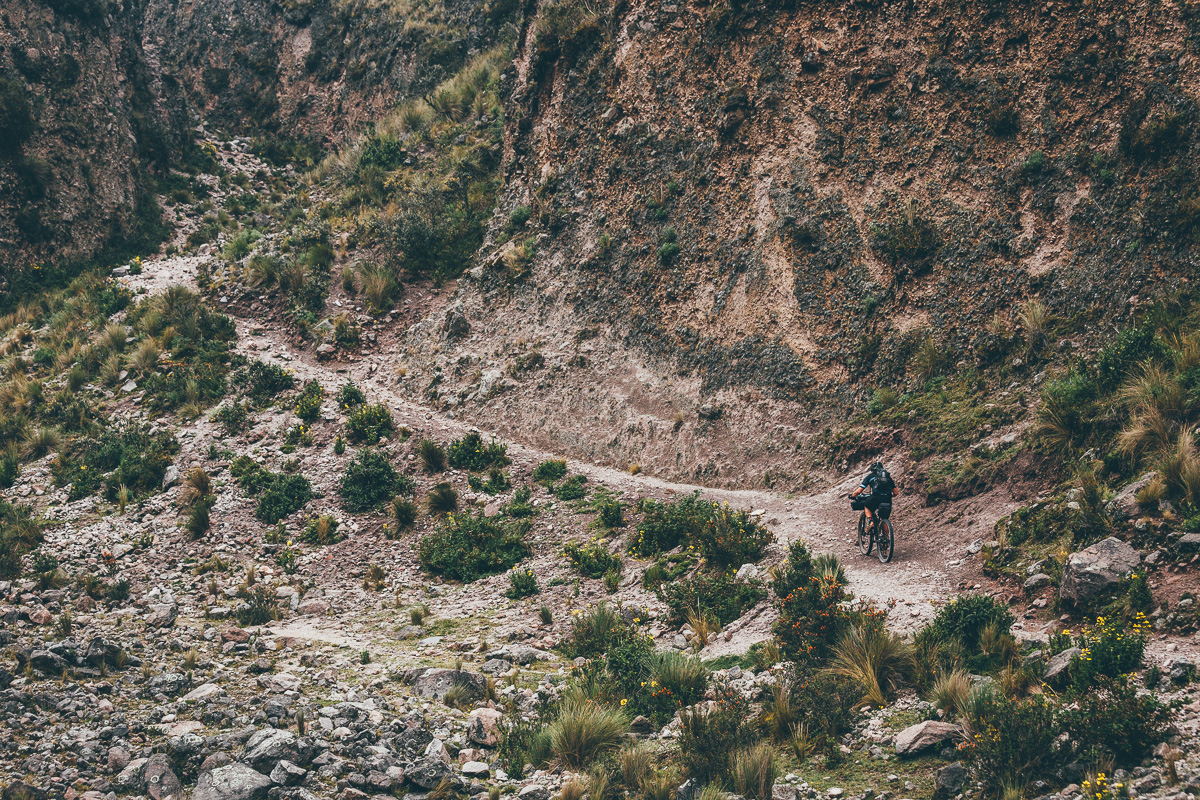
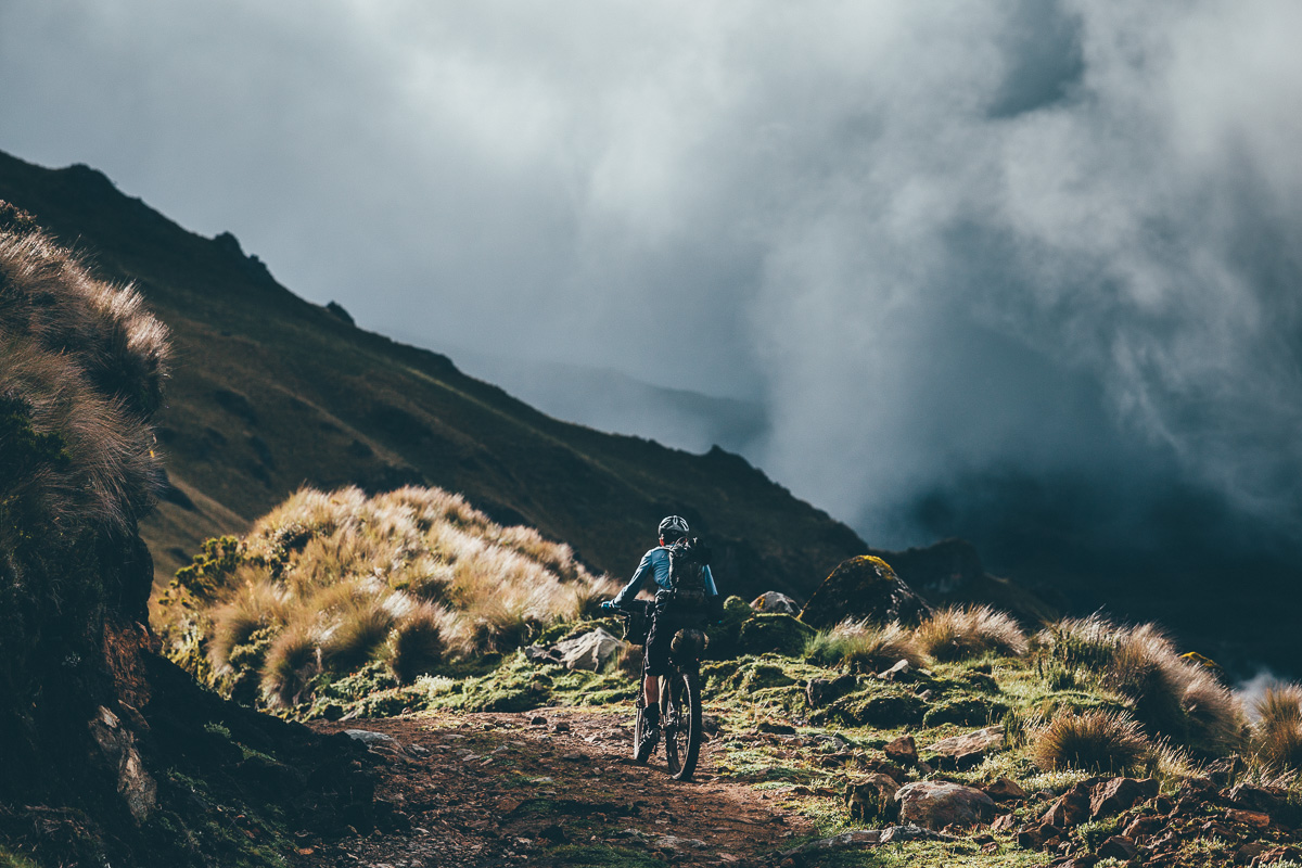
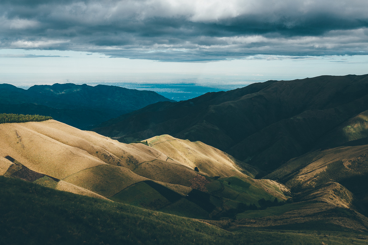
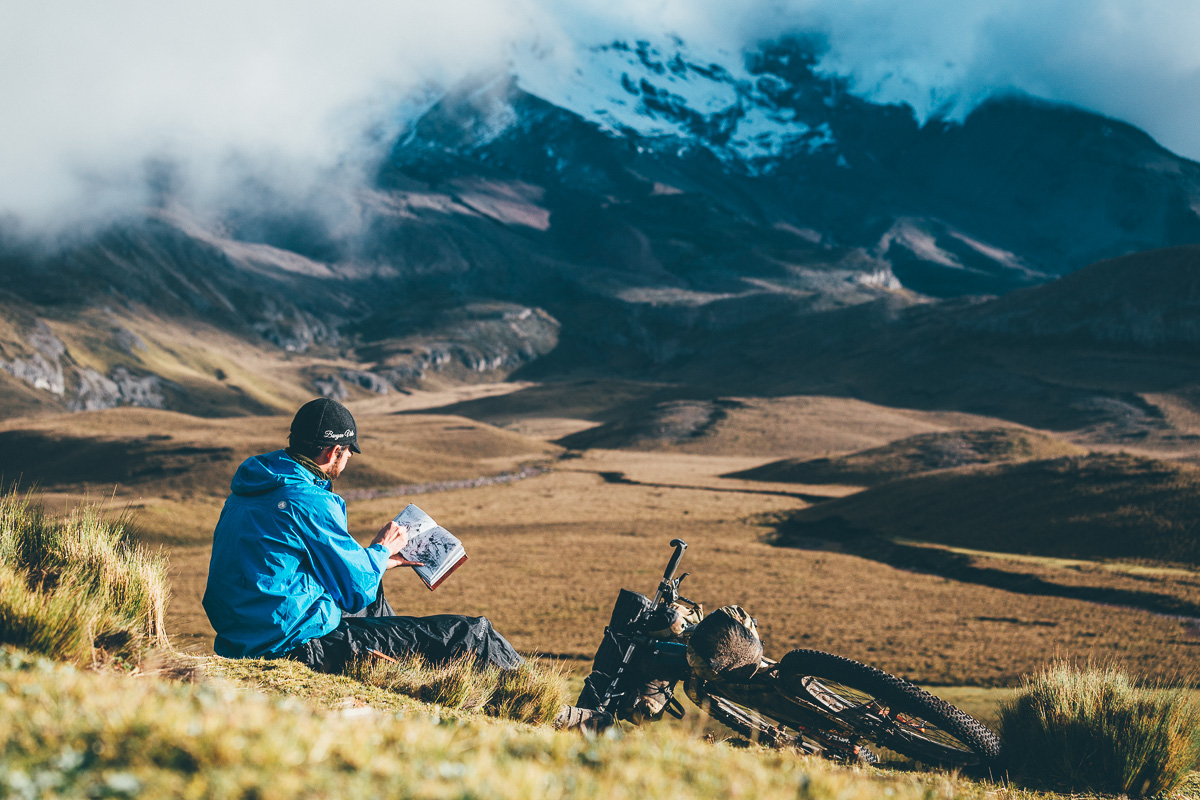
This is a route that can be ridden in its own right, as the backbone of a visit to Ecuador, or weaved into a longer Trans-Americas journey. The ride begins in Pintag, a short bus or bike ride from the country’s capital of Quito. Wending its way into the lush, misty and enigmatic páramo of Cotopaxi National Park, it retraces the trails of the classic La Vuelta de Cotopaxi, an annual two-day stage race. Perched at close to 4,000 metres in altitude, the area has a gentle, subtle allure, with its lattice of crystal clear streams, lichen-covered boulders, páramo grasses and delicate fingers of lycopodium, an Andean plant that grows only at extreme heights.


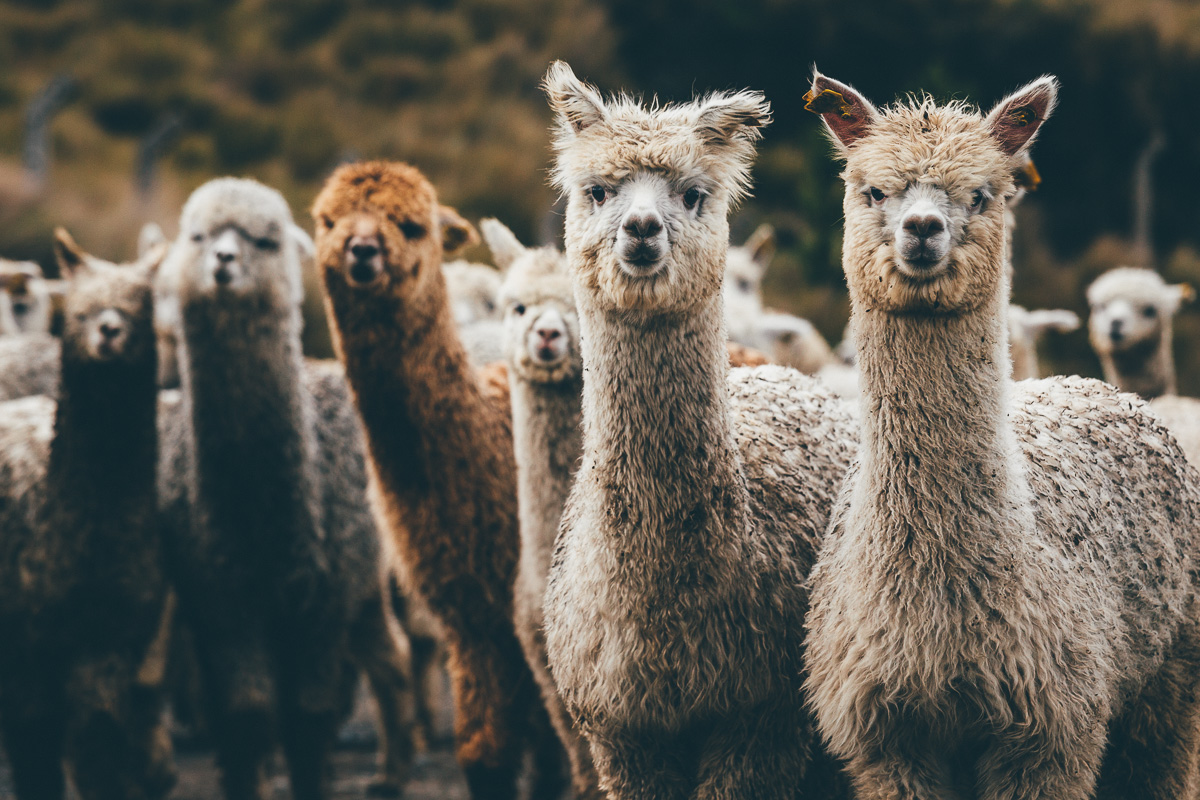
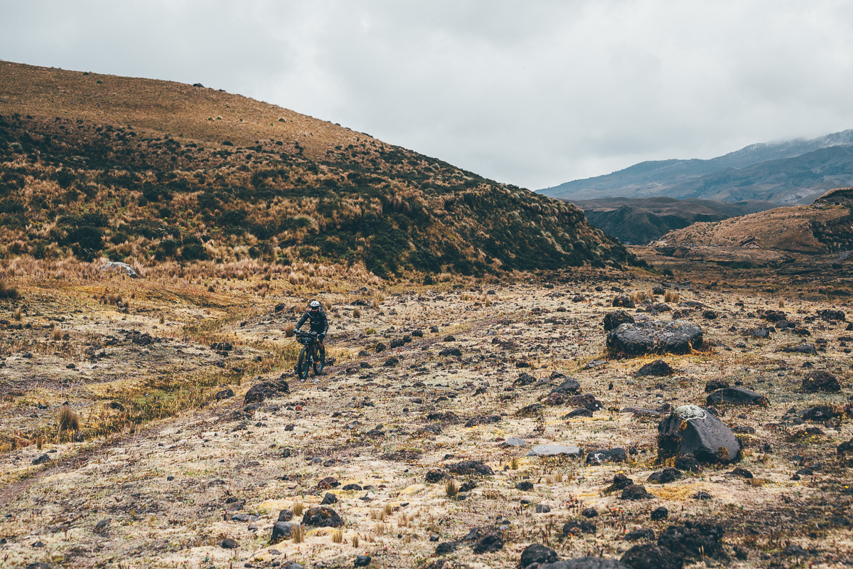
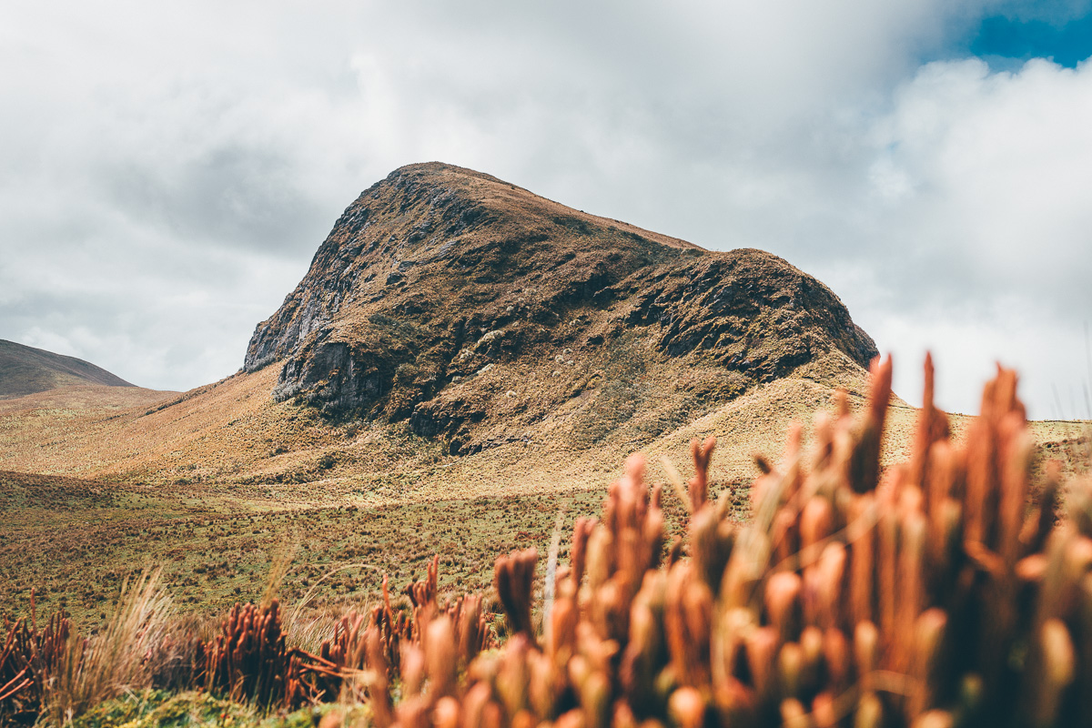
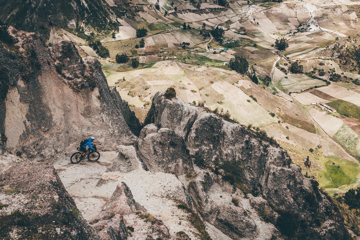
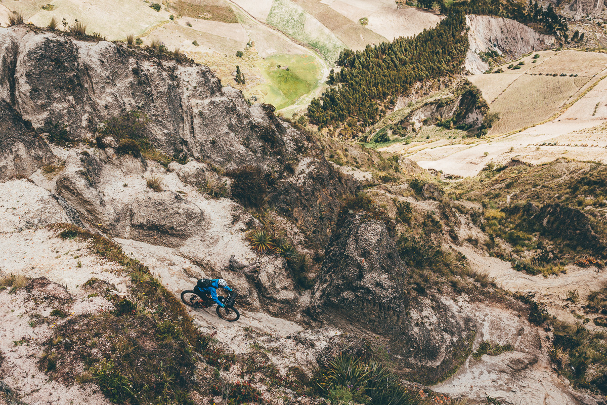
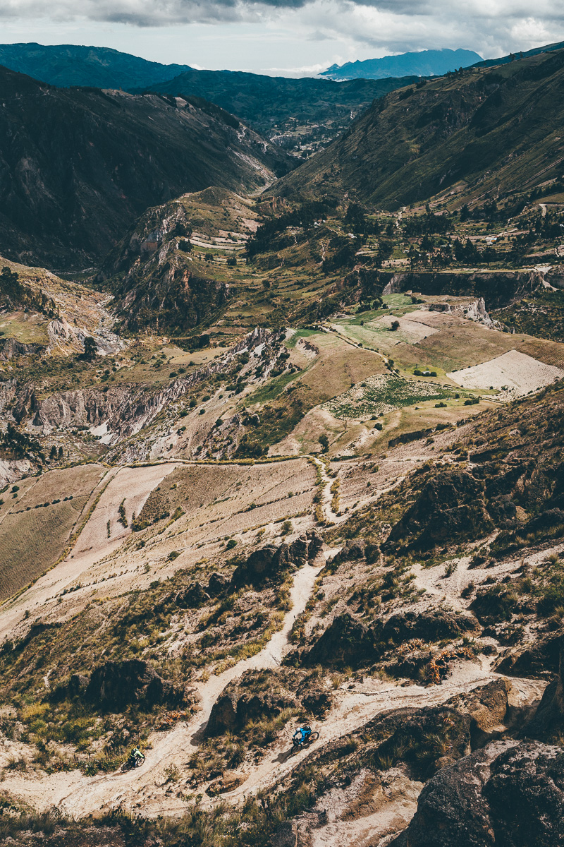
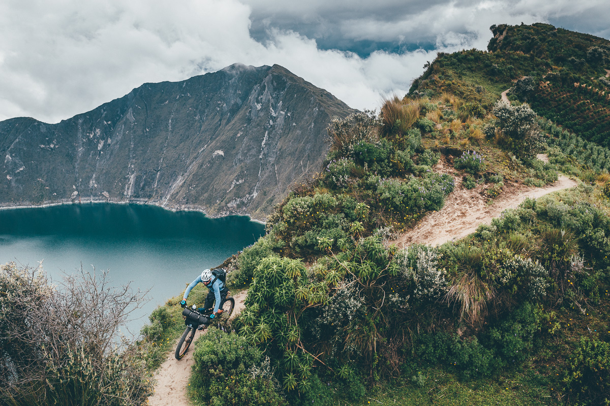
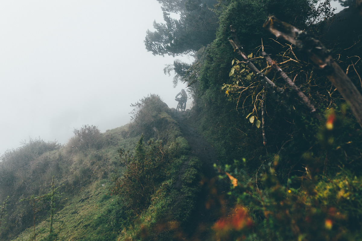
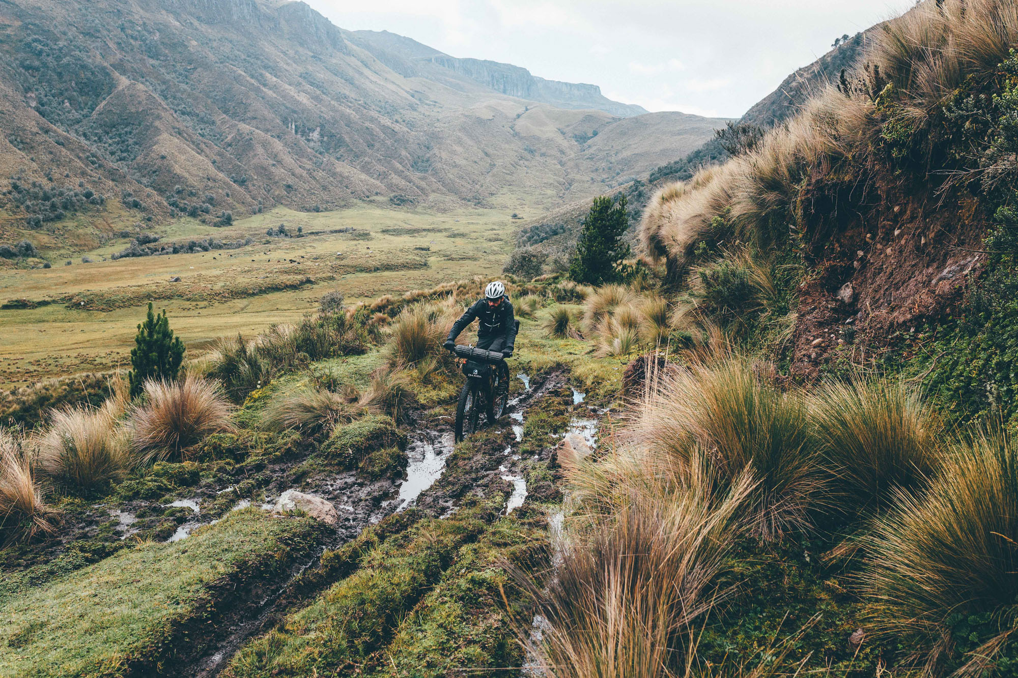
After descending from the Cotopaxi to cross the Panamerican Highway, the route climbs once more, striking into the fertile highlands of Quilatoa. The landscape here is completely different; its steep sided hills are home to shepherds herding sheep and llamas, as well as patchwork quilts of quinoa and potato fields, staples of the Quechuan diet. Brave a loose and techy descent, before a stiff hike a bike to teeter high on singletrack above the turquoise waters of Quilatoa’s impressive crater lake – or for a more mellow and touristy loop to Quilatoa, follow TEMBR Dirt to Isinlivi, reconnecting with the Tres Volcanes route at Quilatoa.
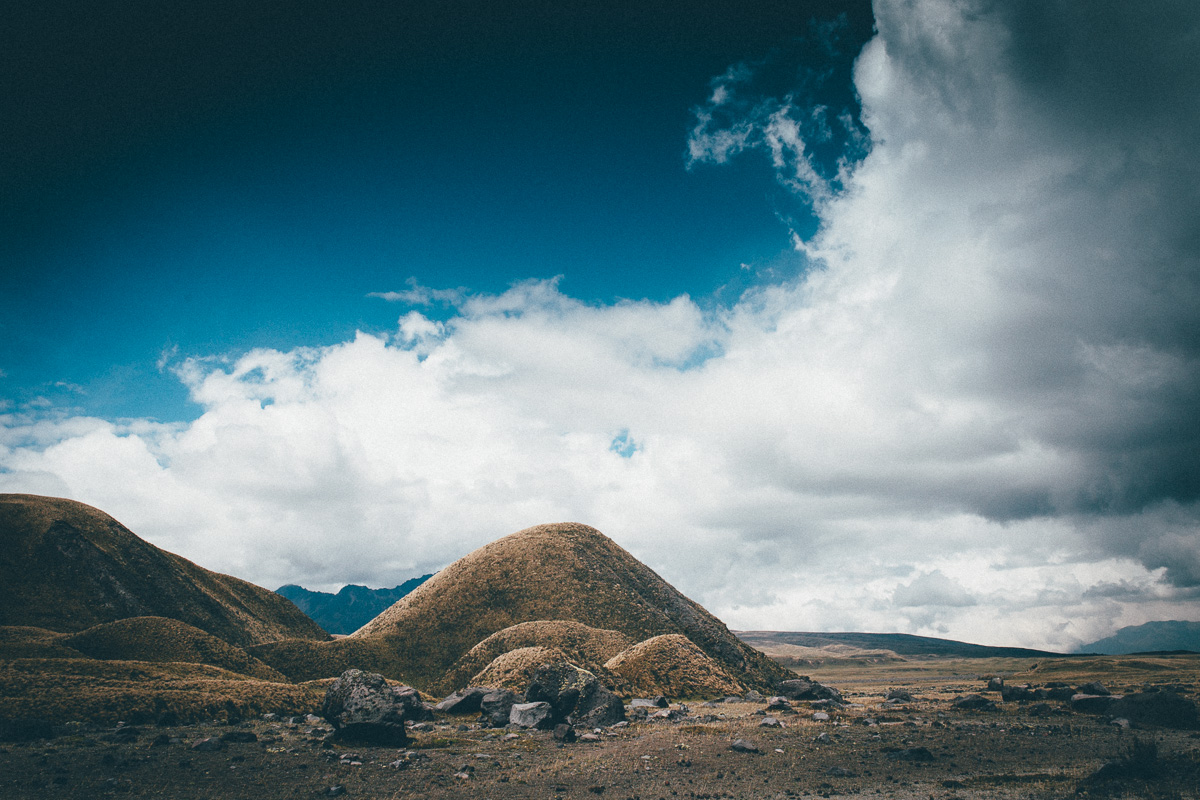
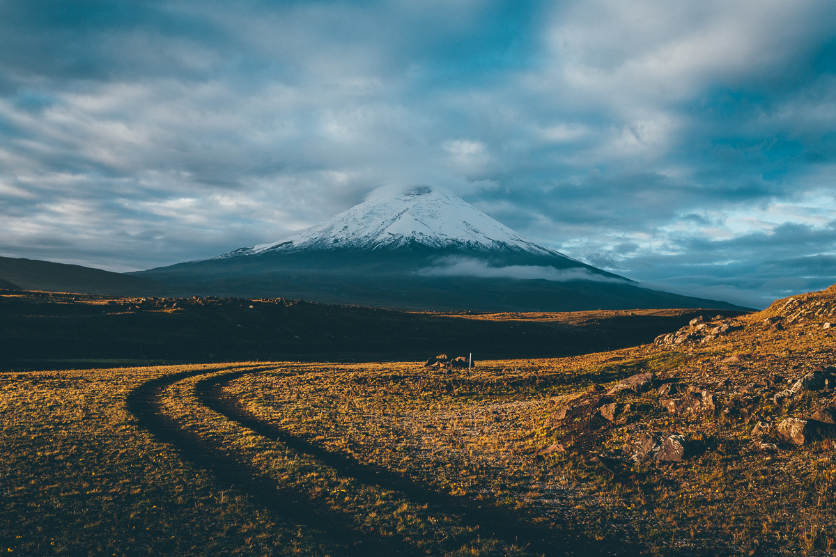
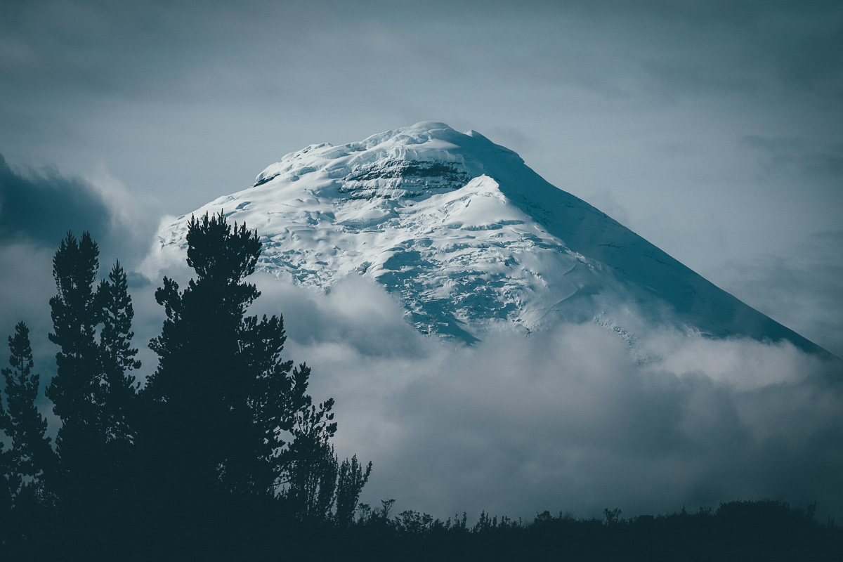
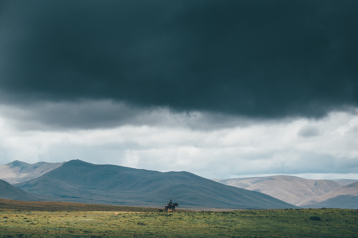
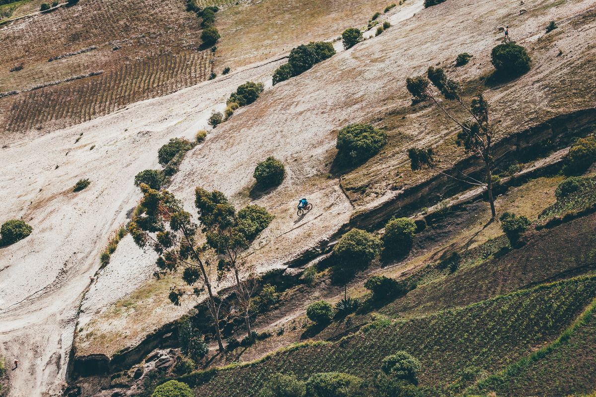
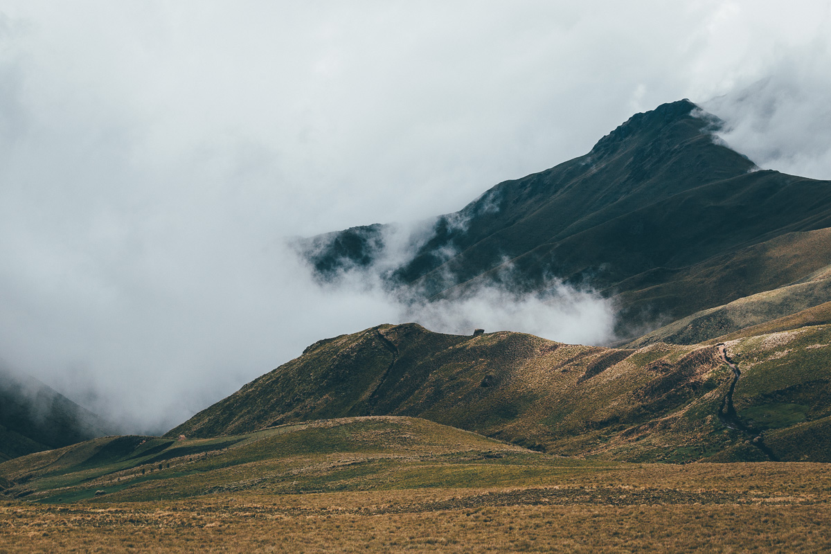
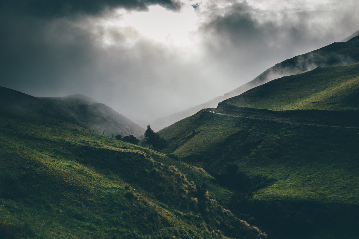
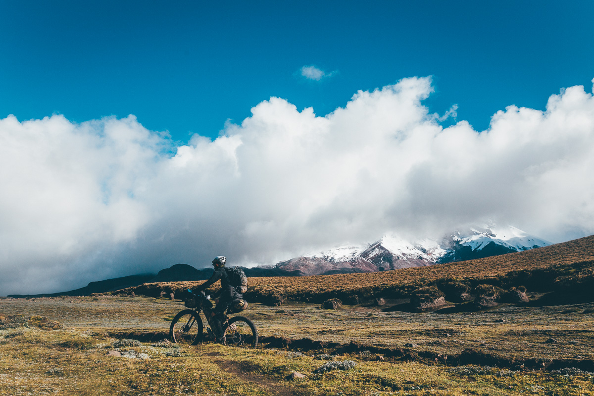
From Zumbahua, dirt road unravels towards Angamarca before rolling high on a ridgetop, then hopping on trails to Volcan Chimborazo – a peak that marks the closest point to the sun, thanks to a bulge in the earth’s curvature. Looping around Chimborazo’s remote, southeastern flank under the watchful eyes of vicuñas – the lithe, athletic siblings to llamas – encapsulates the essence of Ecuadorian highland riding. Refugio Carrel (4850m) offers great camping and more glorious views of the volcano, if you have the weather.
Given the various challenges of this ride – high altitude pedalling, protracted climbs, technical singletrack, tufty páramo and a few burly hike-a-bikes – respite is gratefully received. This comes in the form of a glorious dirt road descent into Salinas de Guaranda, a mountain community famed for its homemade chocolate, local cheeses, regional sustenance… and delicious pizza.
You can read an account of this ride published by Singletrack Magazine here.
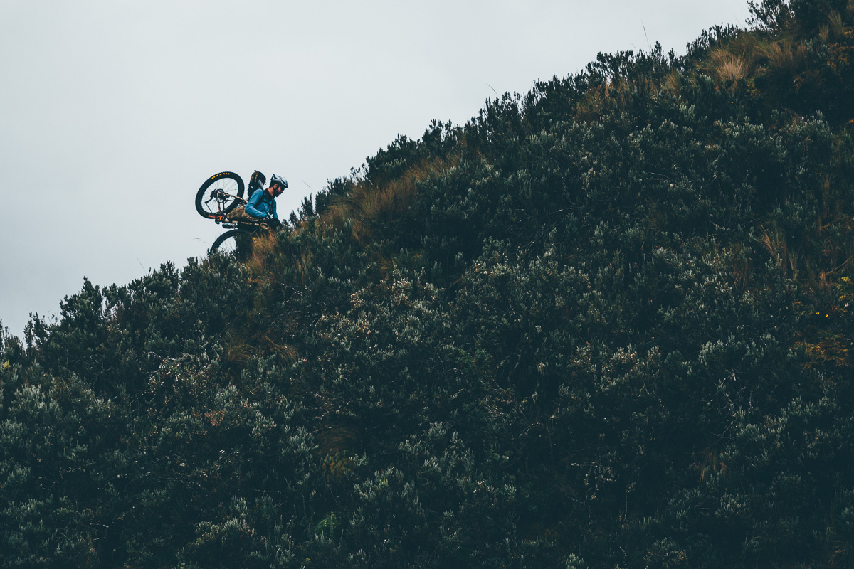
Difficulty This route has been awarded an 8. It’s definitely not as tough as the TEMBR Singletrack Version, but there are several extended hike-a-bikes that require persistence and a lightsetup, with a few sections of exposed, technical trail. Part of the route are remote and require careful navigation. Inclement weather can add to its challenges, turning trails into muggy bogs. Download the TEMBR Dirt Version and use it as required.


Submit Route Alert
As the leading creator and publisher of bikepacking routes, BIKEPACKING.com endeavors to maintain, improve, and advocate for our growing network of bikepacking routes all over the world. As such, our editorial team, route creators, and Route Stewards serve as mediators for route improvements and opportunities for connectivity, conservation, and community growth around these routes. To facilitate these efforts, we rely on our Bikepacking Collective and the greater bikepacking community to call attention to critical issues and opportunities that are discovered while riding these routes. If you have a vital issue or opportunity regarding this route that pertains to one of the subjects below, please let us know:
Highlights
Must Know
Camping
Food/H2O
Trail Notes
Resources
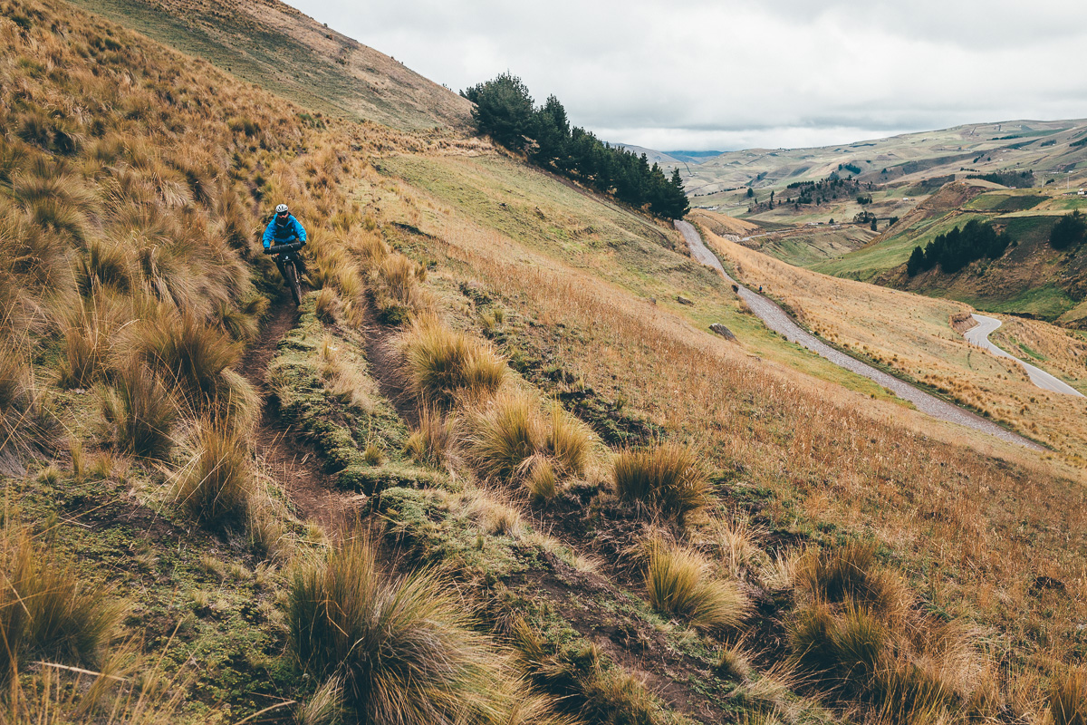
- Riding singletrack through Cotopaxi National Park.
- Negotiating the tufty terrain of Ecuador high altitude, ethereal páramo.
- Oggling the stunning crater lake at Quilatoa.
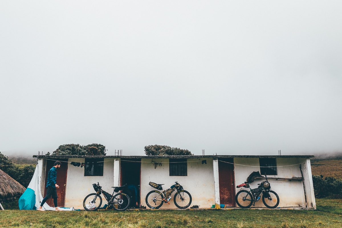
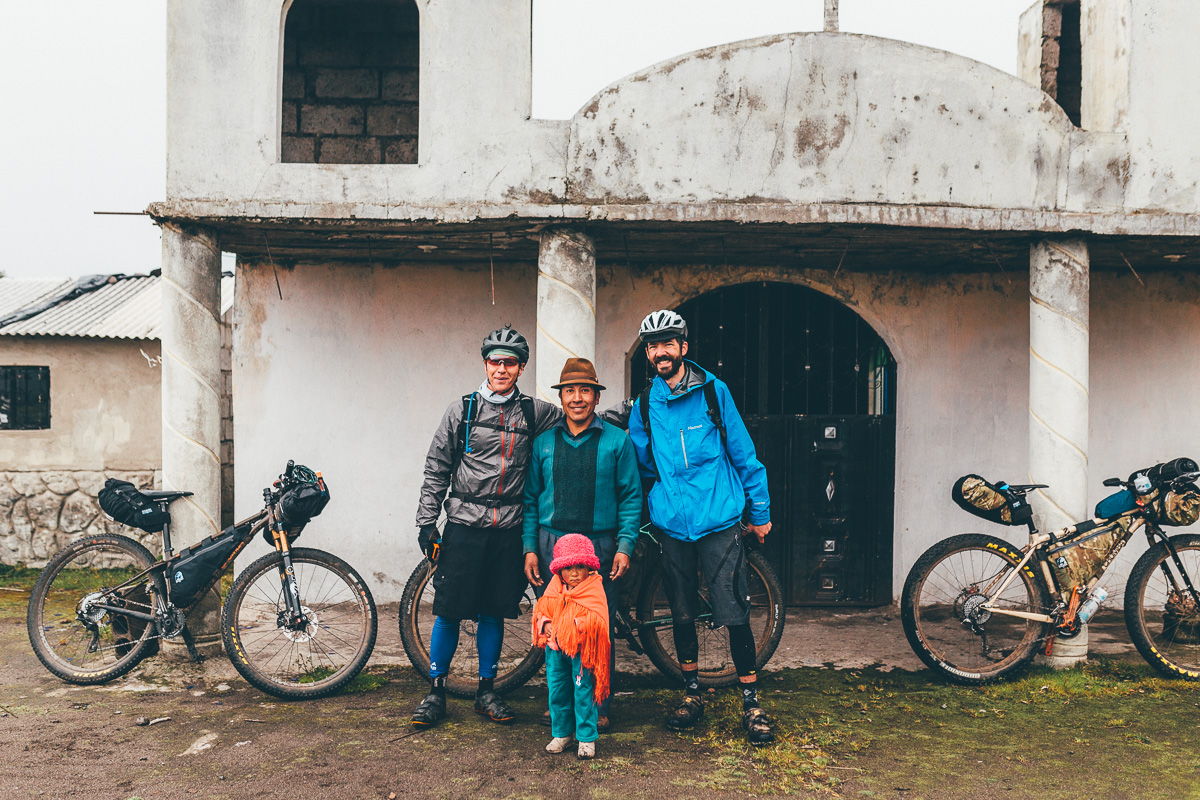
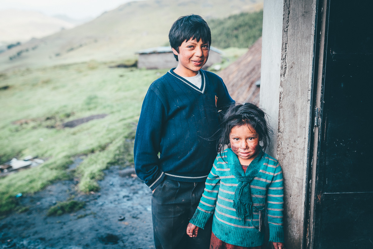
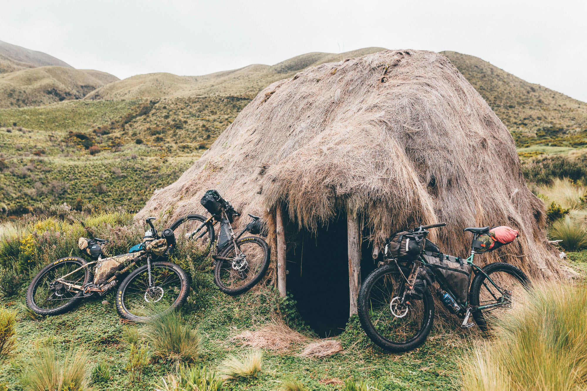
- Sleeping in a community owned ‘choza’, the traditional huts that dot the Ecuadorian Highlands. If you spot one and it’s empty, make yourself at home. Leave it in a better state than you found it.
- The gorgeous, dirt road descent into Salinas de Guaranda.
- Feasting in Salinas!
- This is a high elevation ride. Allow a few days to acclimatise first. And take it easy.
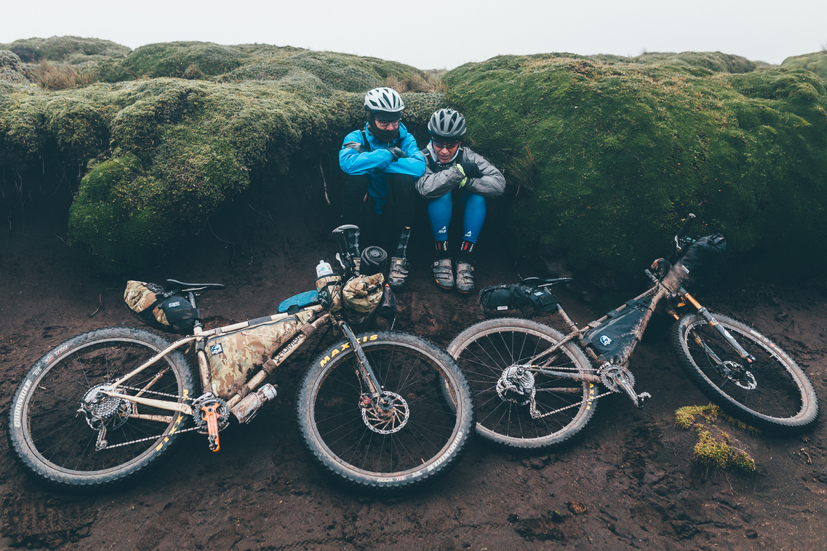
- Mid June to mid September is the high season in the Ecuadorian Andes. By Ecuadorian standards, this is the driest time of the year. Outside of this, be prepared for extended bouts of very heavy rain, which will effect road/trail conditions. Traditionally, there is also a ‘mini dry season’ in December and January. Hour to hour temperatures can be extremely variable, depending on altitude and weather, though they don’t change much throughout the year. I carry a 0-degree centigrade bag and wear extras layers if needed. Ambient dampness can make nighttimes feel cooler than they are; if you pack a -5c bag you should be fine.
- Always expect mixed weather in the highlands, whatever the season. Be prepared for persistent rain at times, and/or four seasons in one day! Bring a quality, reliable waterproof jacket (rather than the kind that pack up tiny but wet out quickly).
- Carry cash for the whole route; there is an ATM in Lasso on the Panamerican Highway, but don’t rely on it.
- Many cyclists take up residence at Santiago’s wonderful Casa de Ciclistas in Tumbaco; the address can be found online. From there, it’s an easy ride to Pintag.
- If you spot an empty choza – the community-owned, traditional straw huts used by shepherds – make yourself at home. Just be sure to leave it in a better state than you found it. And if there are any locals around, check in with them first.
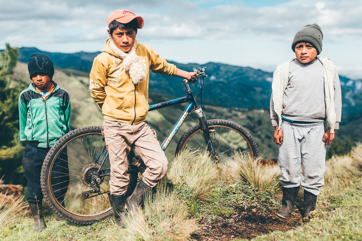
- The route passes through isolated areas, some of which can be communally owned. Whenever you encounter anyone, please ask for permission to ride, by saying “Preste pasito, por favor”. Where necessary, be sure to reassure anyone you meet that you will close all gates behind you (“Yo cierro las puertas”).
- To get back to Quito, public transport is straightforward and bike-friendly; hop on a shared pickup to Guaranda (40mins) from where it’s a 4-hour bus ride back to the capital.
- If you want to cut the journey short, detouring to Ambato is easy after dropping down from Chimborazo, from where good transportation is available back to Pifo using the (bike-friendly) CITA line, a town that’s just a short ride on the rail trail back to Tumbaco. See this gpx file for info.
- A general note on buses. Most have room for a bike or two in the trunk, depending on the bus, wheels may need to be removed and an extra charge may be levied. Although buses can often be hailed down from the roadside, it’s often to find one that starts in a particular town, so there’s time/room to fit the bike.
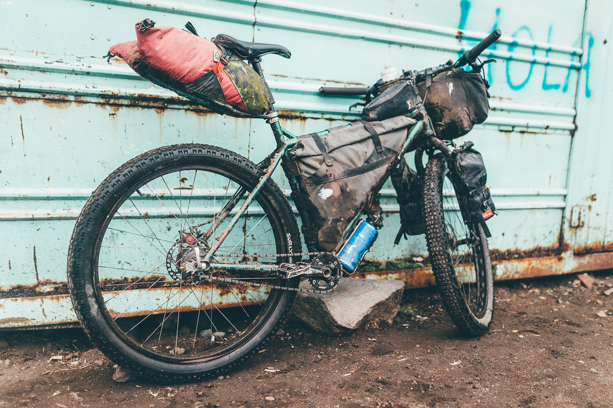
- Pack light – there are some very challenging hike-a-bikes to contend with, and a light bike will make all the difference.
- A rigid ‘plus’ or fat bike is well suited to the Ecuadorian highlands, given the grassland, bog and cobbles. Otherwise, a 29er with suspension will get the job done too.
- We recommend downloading the gpx track for the Trans Ecuador Mountain Bike Route too, (dirt road version) in case you need to ride dirt road alternatives due to inclement weather. It has extra waypoints/POIs too.
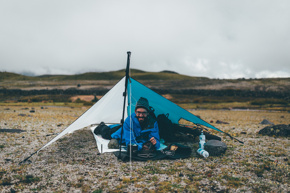
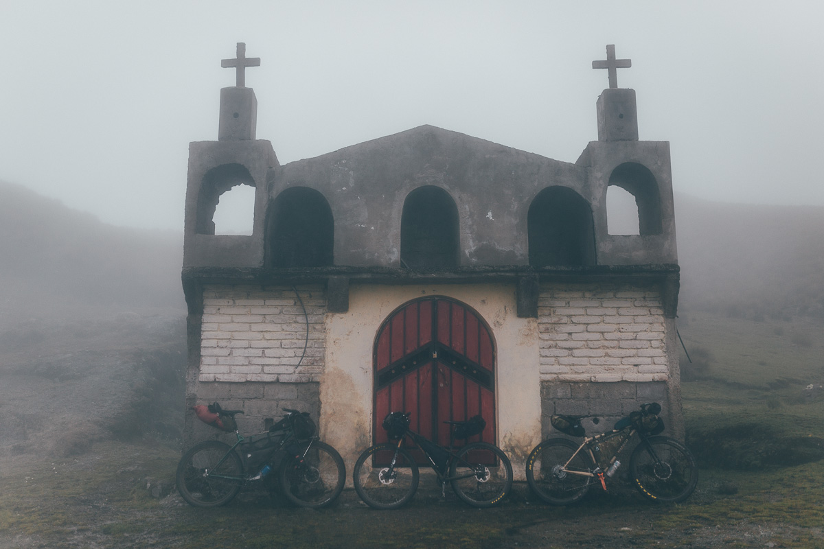
- There’s no shortage of camping spots/abandoned buildings along this route.
- We camped at Tambopaxi Lodge on the first night but dorms are available too if a storm strikes; wild camping in Cotopaxi National Park isn’t permitted.
- Quilatoa is a small tourist enclave with all the facilities, or you can push onto the nearby town of Zumbahua, which offers an assortment of cheap and cheerful hotels.
- Salinas de Guaranda has a variety of cheap backpacker digs. We stayed at La Minga hostel and would recommend it. Plus, it’s right next to the pizzeria!
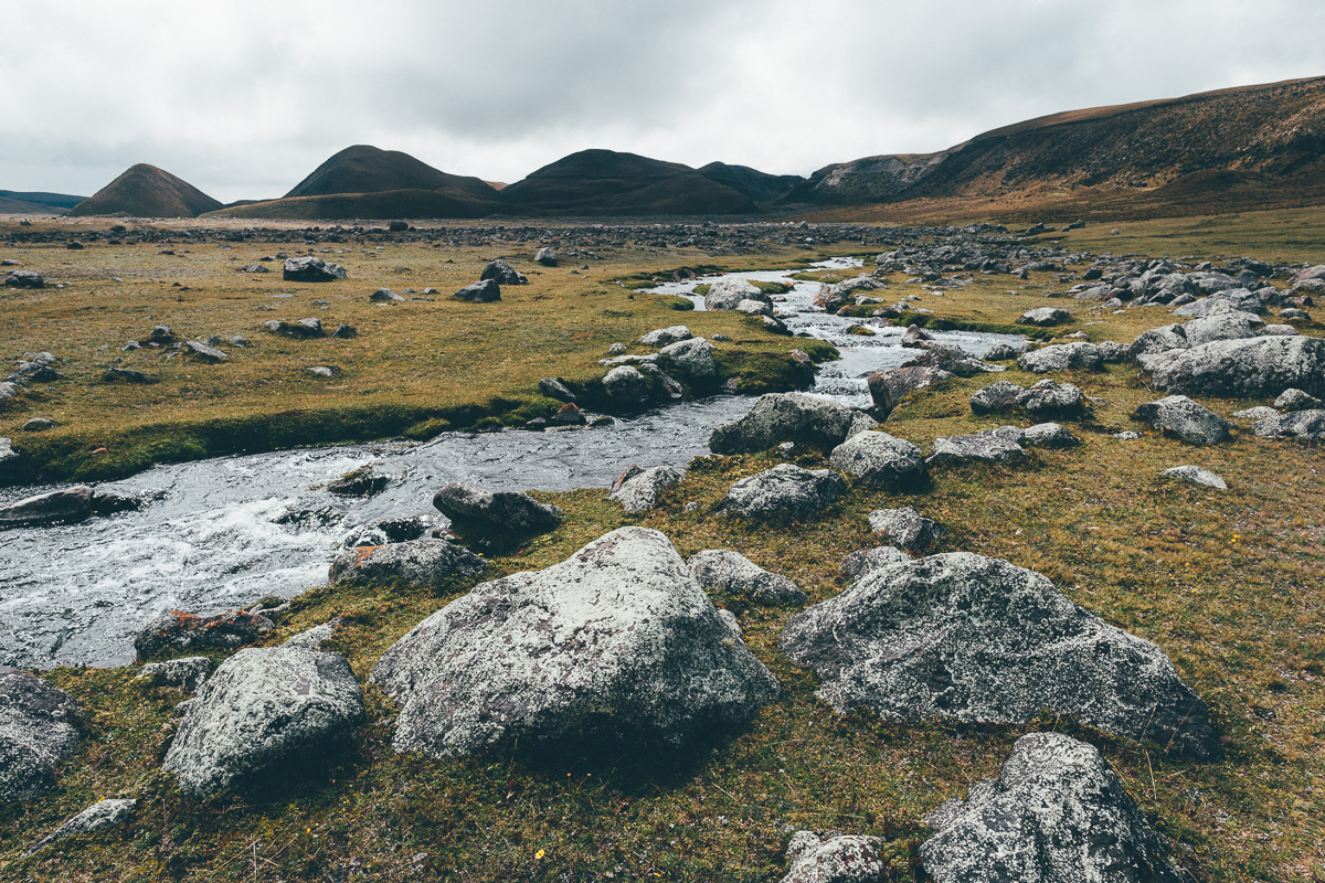
- Streams and rivers abound. A couple of water bottles is generally all you’ll need in the highlands of Ecuador, plus a means to purify what you find en route.
- Tambopaxi Lodge offers set dinners and breakfasts. The food is very expensive by Ecuadorian standards but plentiful and good.
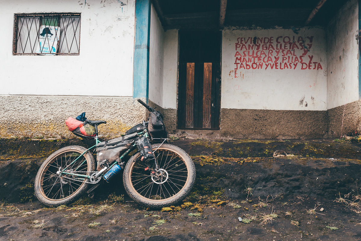
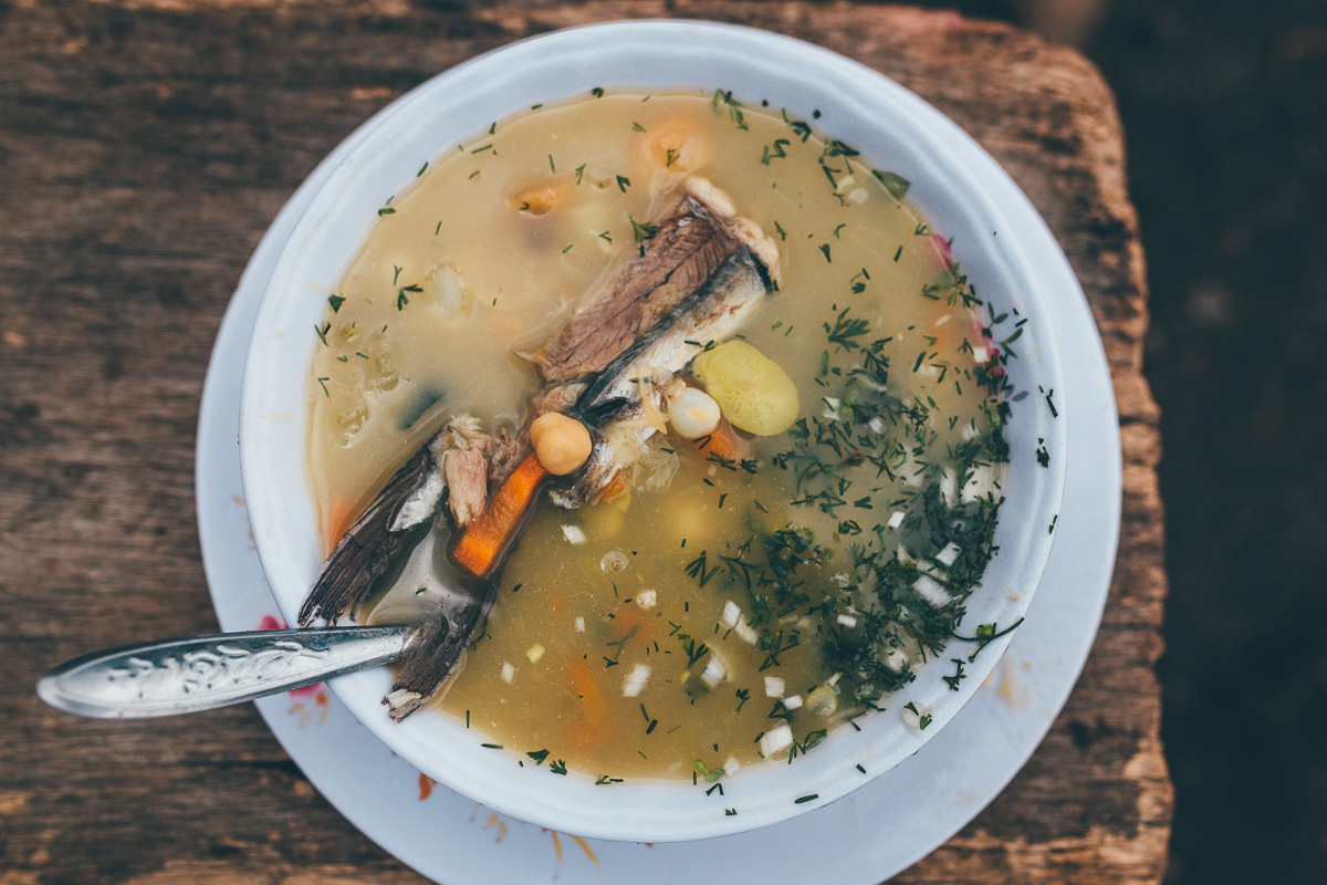
- Every town can serve up a belly-filling set lunch and dinner menu. ‘Completos’ costs just a few dollars and includes a soup, main course and juice, offering your best bang for the buck. Don’t expect to find anything than the odd, poorly stocked village shop in between.
- The intersection of the Panamerican Highway has a couple of restaurants and a small supermarket.
- If you happen to be crossing the Panamerican on a Wednesday, it could be worth detouring to Saquisilí for the night to catch the Thursday market, an Ecuadorian classic.
- The best resupply point is at Zumbahua. Saturday is market day in this mountain town. It’s a colourful, flamboyant affair that draws indigenous Ecuadorians from all around.
- Don’t miss Don Max’ International Bar. Situated at Mile Marker 190, this shack isn’t as grand than it sounds. Test your stomach on dodgy pork crackling and toasted corn, washed down with a lethal local liquor.
- In Salinas de Guaranda, Pizzeria Casa Nostra is especially recommended. Be sure to take a visit to the chocolate factory (as if I had to say it).
Most of the route is rideable. The first hike-a-bike is the slog over El Morro (approx mile marker 50), dividing Cotopaxi National Park with the Pan-American Highway.
The second trouble spot is a tough, technical descent leading down to the river at mile marker 107. This is followed by a long climb and then a hike-a-bike (mile marker 111) up to the crater itself. If you want to avoid the latter part of this rather challenging segue, simply continue along the dirt road directly to the settlement of Quilatoa. If you choose to ‘ride’ it, the reward is a short but utterly blissful slice of singletrack.
After cresting the pass between Chimborazo and Carihuairazo (approx mile marker 200), the often boggy descent requires careful navigation. If you follow the gpx file relatively closely, you should encounter a spot where you can cross the river and continue along your way.
ALTERNATES
For a more mellow and touristy loop to Quilatoa – avoiding a steep, techy hike-a-bike trail – follow TEMBR Dirt from Toacazo to Isinlivi (great accommodation available), reconnecting with the Tres Volcanes route at Quilatoa, if you want to detour around the hike to the rim trail above the volcano. For more detailed and updated POIs, check the TEMBR Dirt route where the two routes overlap.
This route can also be weaved neatly into the Trans Ecuador Mountain Bike Route, both Singletrack and Dirt Road versions; the latter has all the details in the Trail Notes section. An alternative route for those continuing south on TEMBR from Los Tres Volcanes – who don’t want to miss out on Salinas de Guaranda – is to detour from Los Tres Volcanes on the TEMBR Dirt track to Simiatug, and ride onwards to Salinas to buy cheese and chocolate. From here, follow the TEMBR Dirt track up to El Carrel Refugio on Chimborazo, before taking the descent to E491, rejoining Los Tres Volcanes on north side of the mountain, finally meeting TEMBR at the ‘Basic Stores’ waypoint in Quatro Esquinas.


Terms of Use: As with each bikepacking route guide published on BIKEPACKING.com, should you choose to cycle this route, do so at your own risk. Prior to setting out check current local weather, conditions, and land/road closures. While riding, obey all public and private land use restrictions and rules, carry proper safety and navigational equipment, and of course, follow the #leavenotrace guidelines. The information found herein is simply a planning resource to be used as a point of inspiration in conjunction with your own due-diligence. In spite of the fact that this route, associated GPS track (GPX and maps), and all route guidelines were prepared under diligent research by the specified contributor and/or contributors, the accuracy of such and judgement of the author is not guaranteed. BIKEPACKING.com LLC, its partners, associates, and contributors are in no way liable for personal injury, damage to personal property, or any other such situation that might happen to individual riders cycling or following this route.
Please keep the conversation civil, constructive, and inclusive, or your comment will be removed.