


Kokopelli Trail (Bikepacking Route + Porcupine Rim)
Distance
158 Mi.
(254 KM)Days
3-5
% Unpaved
85%
% Singletrack
25%
% Rideable (time)
99%
Total Ascent
15,189'
(4,630 M)High Point
8,580'
(2,615 M)Difficulty (1-10)
6.5?
- 6Climbing Scale Moderate96 FT/MI (18 M/KM)
- -Technical Difficulty
- -Physical Demand
- -Resupply & Logistics
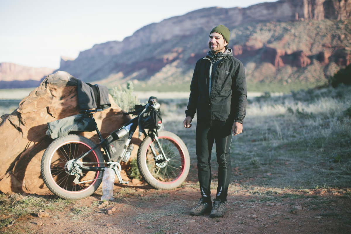
Contributed By

Logan Watts
Founding Editor
IMPORTANT NOTICE: The La Sal Loop Road is currently undergoing construction this spring/summer/fall, 2017 and portions of it is closed, including a section of it that is used by the Kokopelli Trail. The road is scheduled to open on weekends after May 27th. Unfortunately, there is no way around it and riders will need to exit out Castle Valley (mile 128) to get to Moab. UPDATE (November, 2017): Apparently work is still going on and way behind as of 11/18/2017.
Find a detailed guide on the route below including parking, resupply and how to plan the perfect trip. Here’s what several members of our four-top riding group had to say:
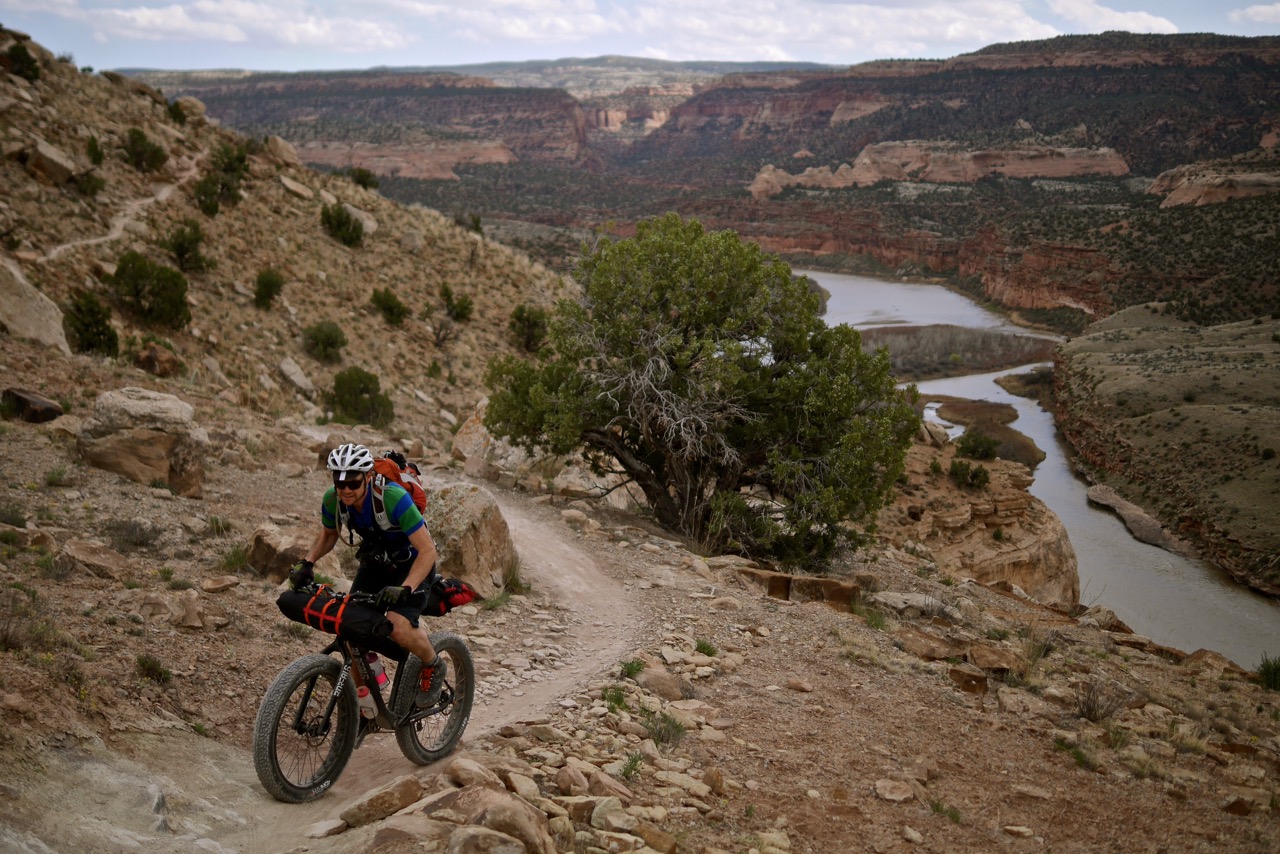
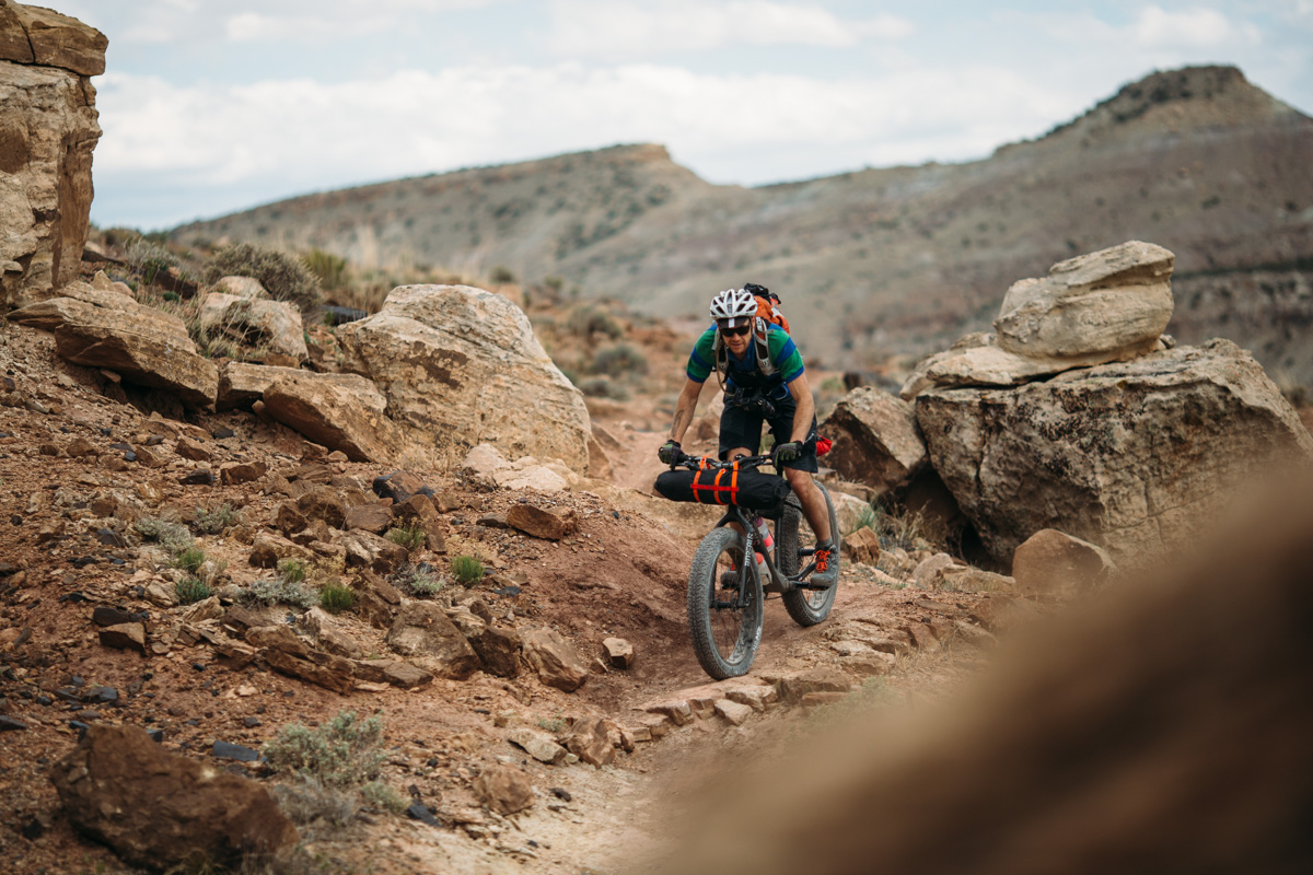
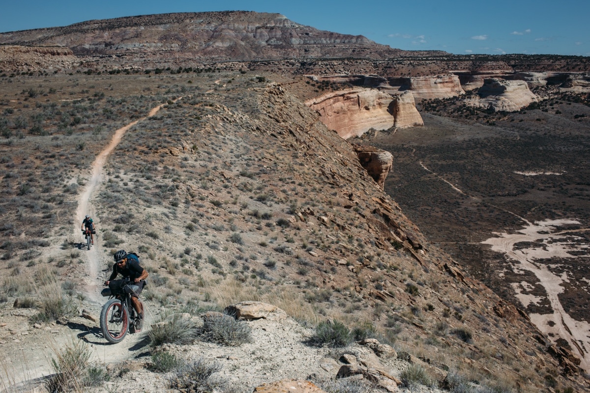
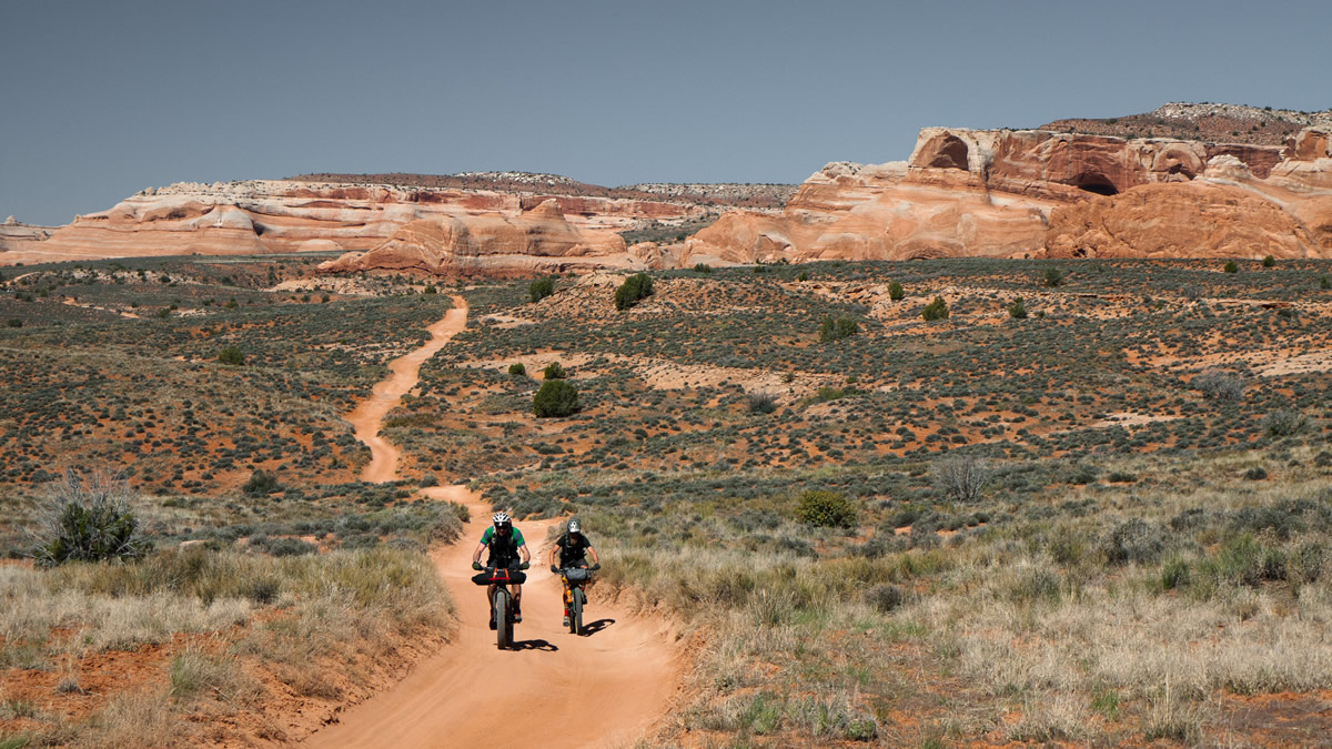
“The Kokopelli Trail is a beautiful route winding from Fruita to Moab that combines primitive roads of all varieties with surprisingly technical single track to keep you guessing about what lies around each bend. Starting in the east, the route becomes richer and the landscapes more Mars-like with each mile you travel towards the canyon lands of the high Utah desert. Sand, dirt, gravel, slick rock, creek crossings, you name it. Two long climbs topping out at 8400′ will test your fitness and the final descent along Porcupine Rim will blow your mind. This is the way to enter Moab!” – Joel Caldwell (joelcaldwell.com)
“The Kokopelli Trail is a vintage route ridden and raced long before doing stuff like this was popular. Classics have a way of seeming passé—almost a cliché—and you might therefore be tempted to skip it. That was my fool’s attitude in spite of pedaling and adventuring in that corner of Utah for decades. I was being silly: the Kokopelli is a tremendously satisfying and fun bikepack, from the mildly technical and impossibly beautiful singletrack out of Fruita, to soaring grinding climbs, red desert canyons, rugged sandstone ridges, to the must-not-skip roaring bucking descent on Porcupine Rim down to Moab. Find an extra-long weekend and do this ride.” – Joe Cruz (Pedaling in Place)
“Kokopelli taught me the length of a desert mile. Non-stop vistas of far away mountains and canyons might lure one into a sort of topographic pomposity. But they’re even farther than you think. The true scale of this landscape is only appreciated after much concentrated, technical riding on so called “dirt roads”, long descents and climbs out of the smallest of canyons, and by peering off the edge of the rim into an endless void of night.” – Skyler Des Roches (OffRoute.ca)


Submit Route Alert
As the leading creator and publisher of bikepacking routes, BIKEPACKING.com endeavors to maintain, improve, and advocate for our growing network of bikepacking routes all over the world. As such, our editorial team, route creators, and Route Stewards serve as mediators for route improvements and opportunities for connectivity, conservation, and community growth around these routes. To facilitate these efforts, we rely on our Bikepacking Collective and the greater bikepacking community to call attention to critical issues and opportunities that are discovered while riding these routes. If you have a vital issue or opportunity regarding this route that pertains to one of the subjects below, please let us know:
Highlights
Must Know
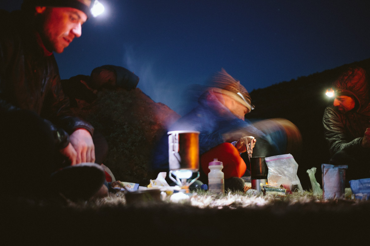
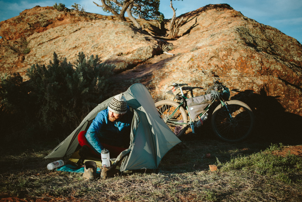
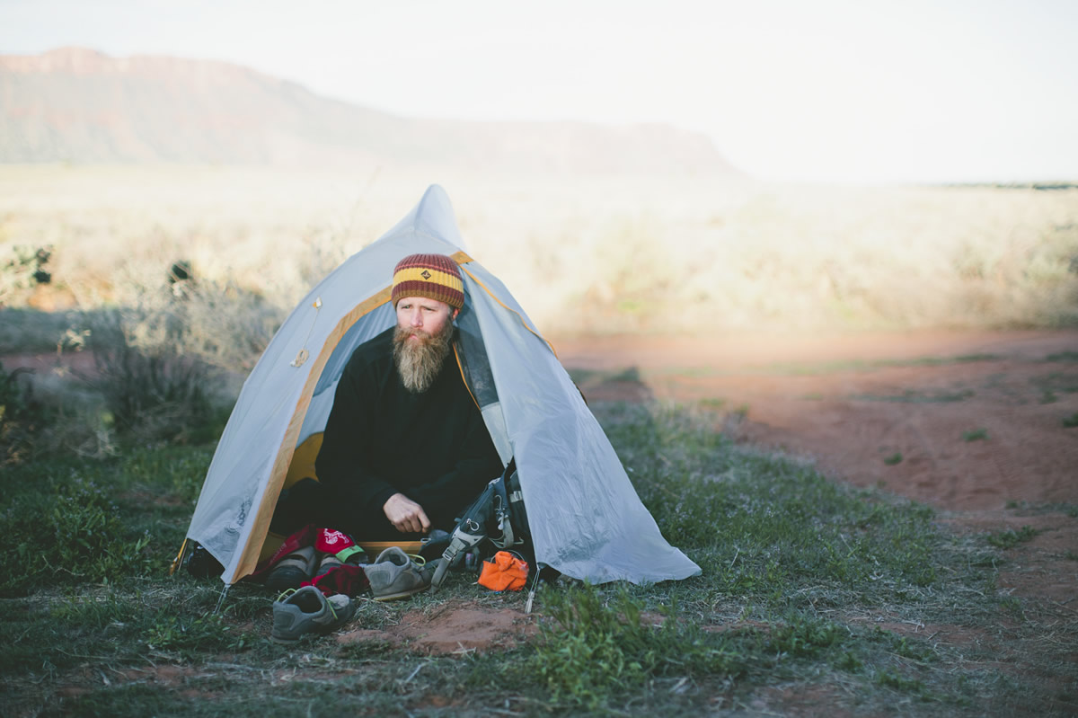
Camping
Food/H2O
Trail Notes
Resources
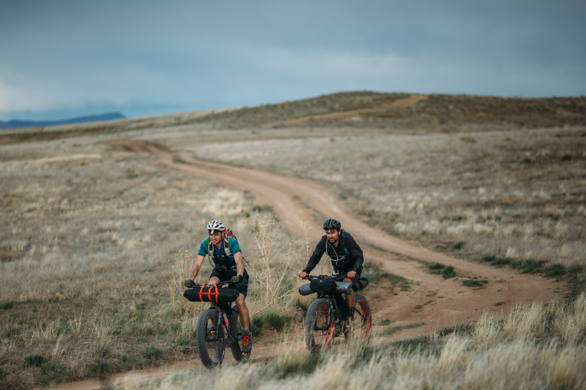
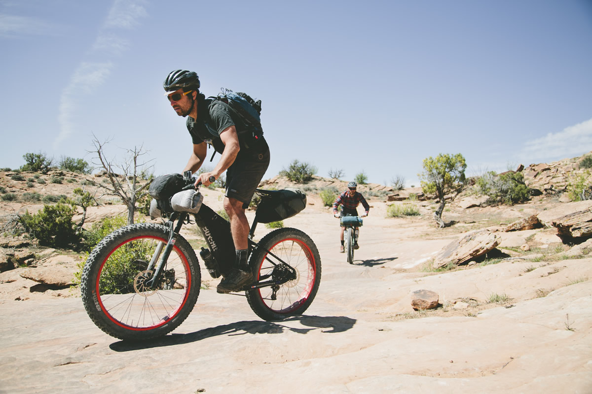
- A fantastic bikepacking route to gather a group of friends for a long weekend ride.
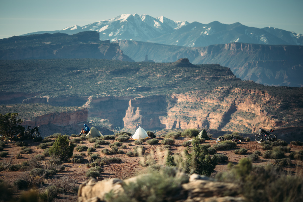
- An amazing backcountry site overlooking Yellow Jacket Canyon and Viewpoint Arch.
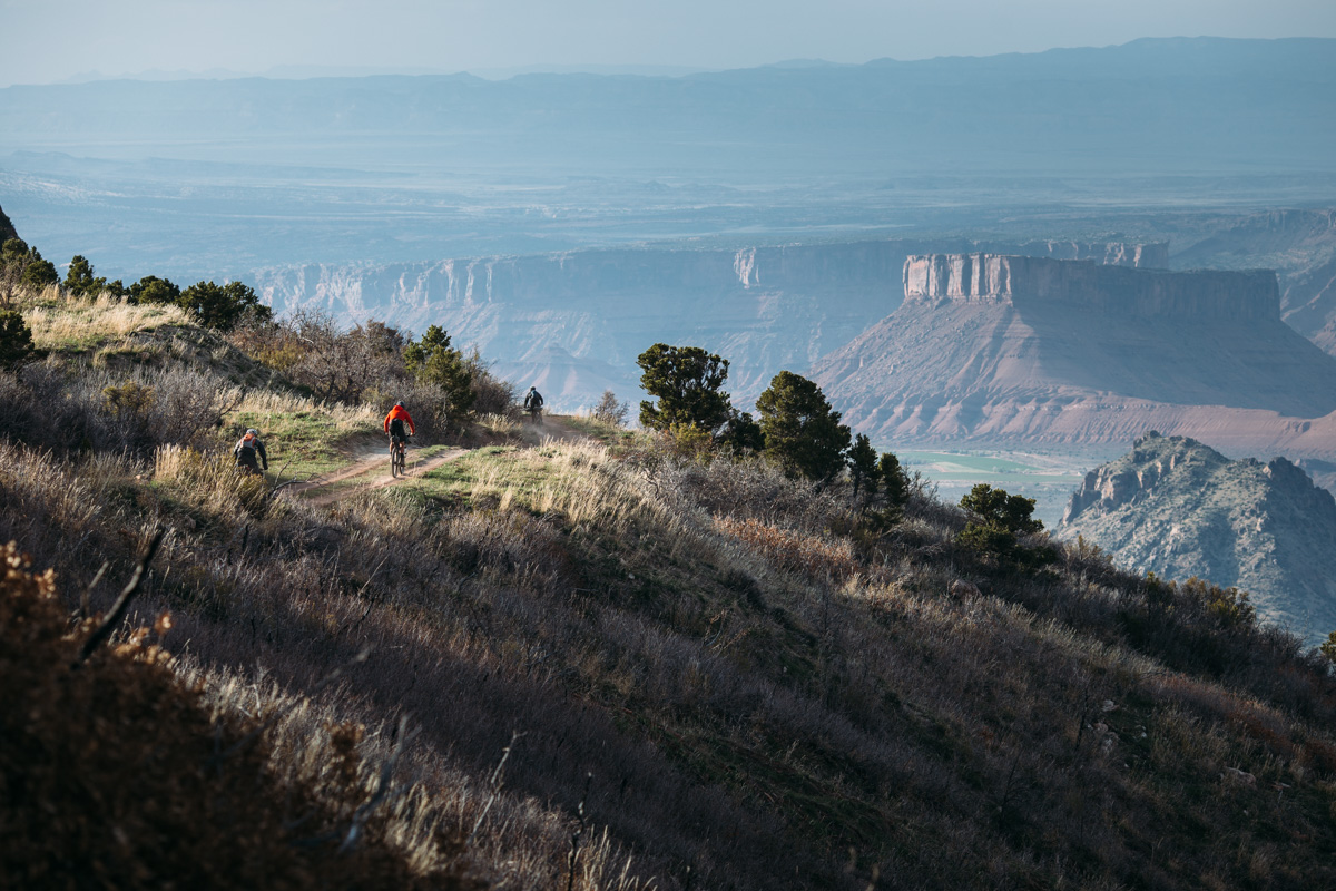
- Enjoying the singletrack ride on the Western Rim trail (a slight derivation from the classic route).
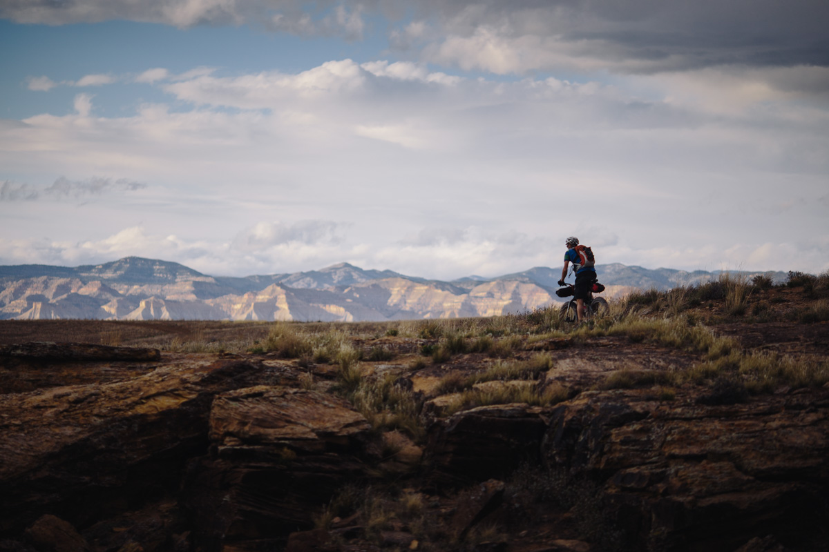
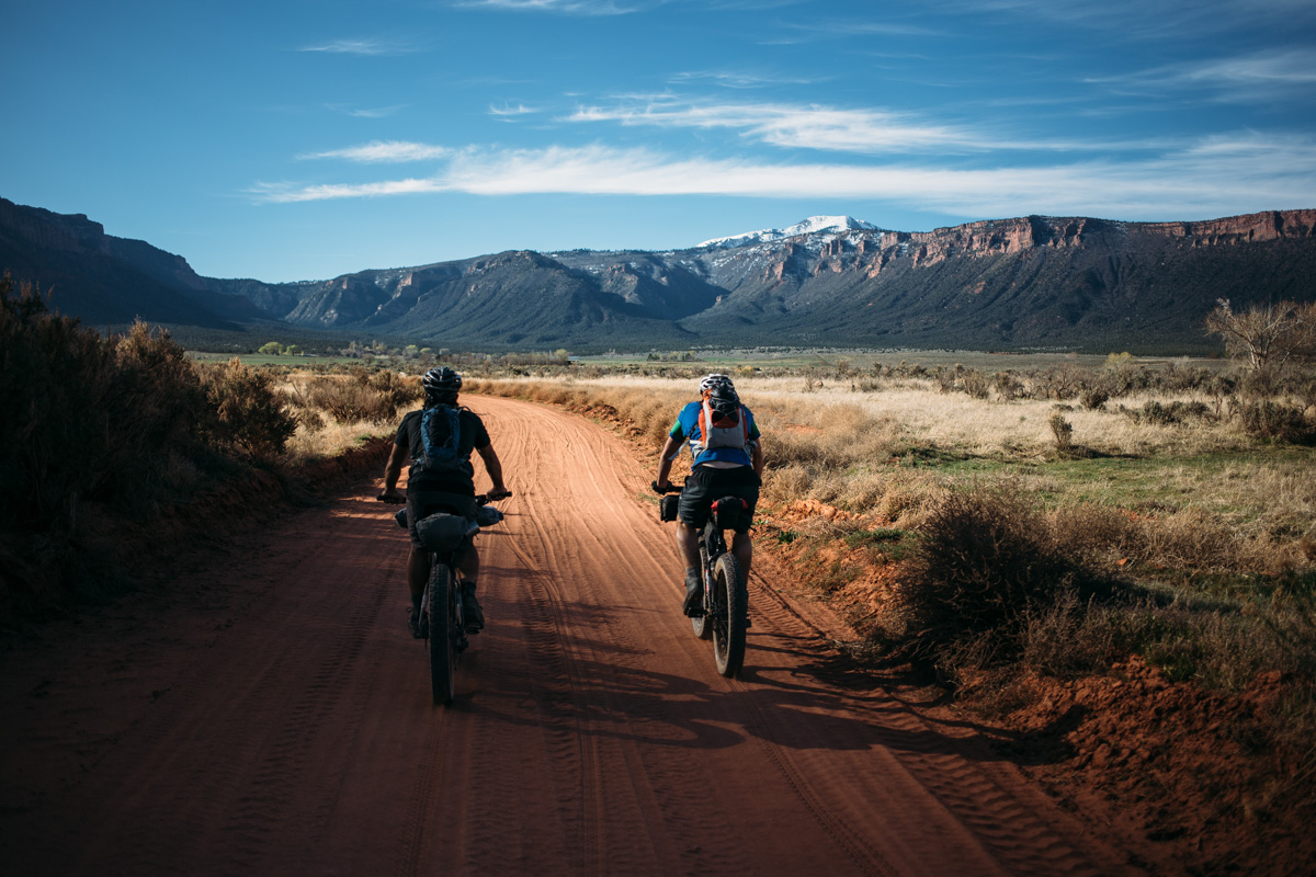
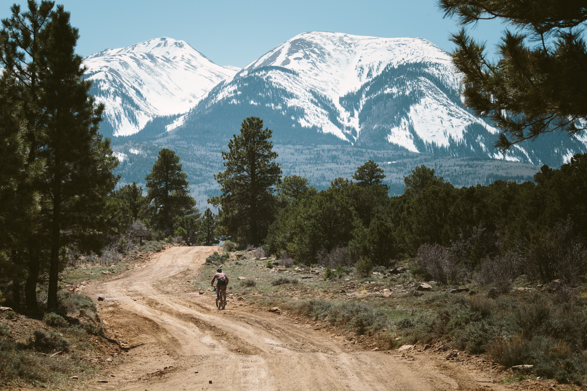
- Crossing the La Sal mountain range.
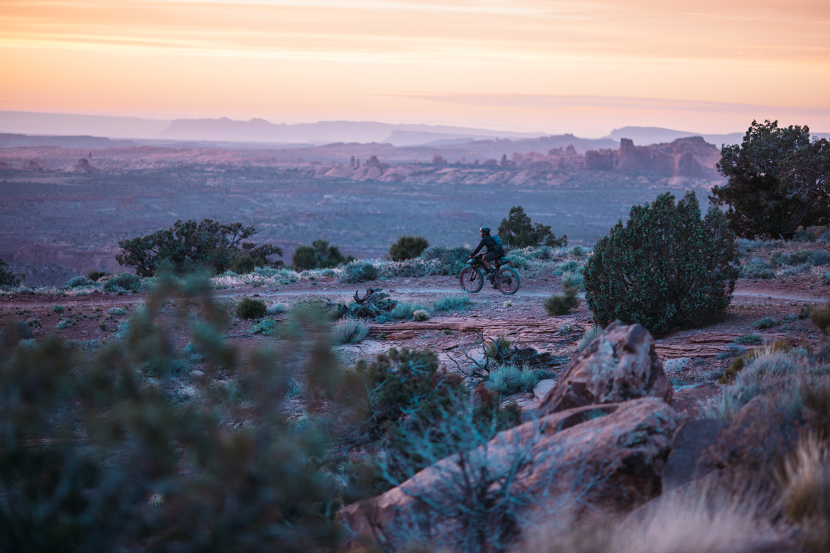
- An epic sunset descent down the Porcupine Rim Trail.
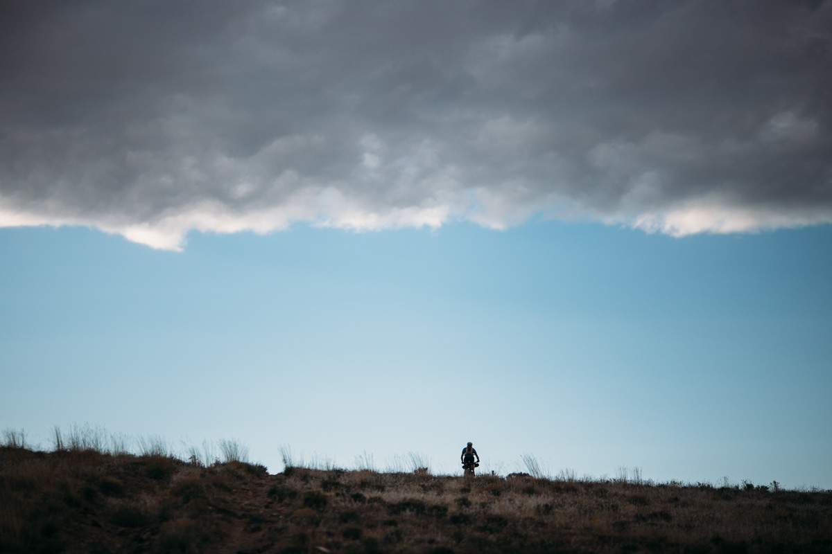
- This route can be ridden from March or April until September or October, but can be very hot in the summer and have snow in the higher elevations in the transitional months. It is very important to check the conditions and weather forecast in advance to assure a safe passage.
- The highest point on the trail is over 8,500 feet in the La Sals; check snow pack in the area via Google Earth.
- There are some fairly challenging technical sections along the route, prepare for a little hike-a-bike.
- Touring time is typically 3 days, but 4 or 5 may be more enjoyable.
- The main map for the area is the Latitude 40 Fruita Grand Junction Colorado Trails map which can be purchased at Over The Edge in Fruita.
- You must pack out your poop. Moab is a highly-visited area and the area’s desert soil is not conducive to decomposition. Moab’s tourism authority clearly states on their website, “When developed facilities are not available, all solid waste should be packed out in approved waste bags.” Learn how here.
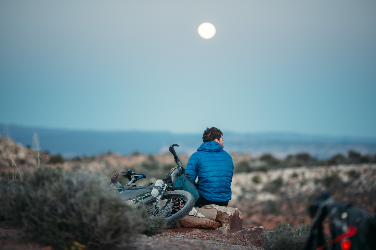
- There are plenty of camping options along the way including wild camping and established campgrounds.
- Several popular established sites include Rabbit Valley and Castle Rocks which are a little over 20 miles from the Loma Trailhead and are also a great place to cache water (see below); the next option is Westwater, which is adjacent to the Westwater Ranger Station where you’ll find water in a spigot; After that there is Fish Ford, Dewey Bridge, and Castle Valley. See map above for more.
- Wild camping is mostly prohibited in McInnis Canyons National Preserve, but after leaving that area, wild camping spots are abundant.
- There are no food resupply points on route; in Fruita, the City Market is a well-priced and fully stocked grocer, Hot Tomato has excellent pizza and taps, and Aspen Street Coffee is a good place to caffeinate and internet.
- It is advised to cache water along the route (especially if you are already shuttling from Moab to Fruita); one great spot is Rabbit Valley which is about 20 miles from Loma Trailhead (or 29 from Fruita); we chose to cam there for the night and took advantage of a cache of water and a couple post-ride beers.
- There are few sources for water along the route; dependable options include Westwater Ranger Station (a 2 mile detour to
refill from a spigot — note that water at the Ranger Station gets shut off from November 1st to March 1stUPDATE: BLM reports water at ranger station not fit to drink; you will need to filter water from the river, instead), and Buck Spring just before Dewey Bridge (see map above); there is also a running spring on Las Sal Loop road.
Route Staging and Start
Although the route can be ridden in either direction, but most prefer a southwest flow from Fruita to Moab which enables a legendary finale down Porcupine Rim. There are a couple of options for staging and parking; as advised by folks at Over The Edge bike shop, we chose to leave a vehicle in the parking lot behind Suds Brothers Brewery in downtown Fruita. This requires a 9 mile pavement ride to the Kokepelli’s Trailhead, but offers a safe parking solution. It is possible to leave a vehicle at the Loma trailhead, but may be a little more risky. In Moab, a great place to drop a vehicle is the Information Center; make sure to leave your name and contact info at the desk.
Following the Route
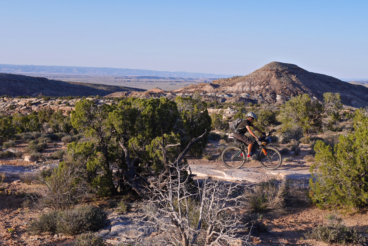
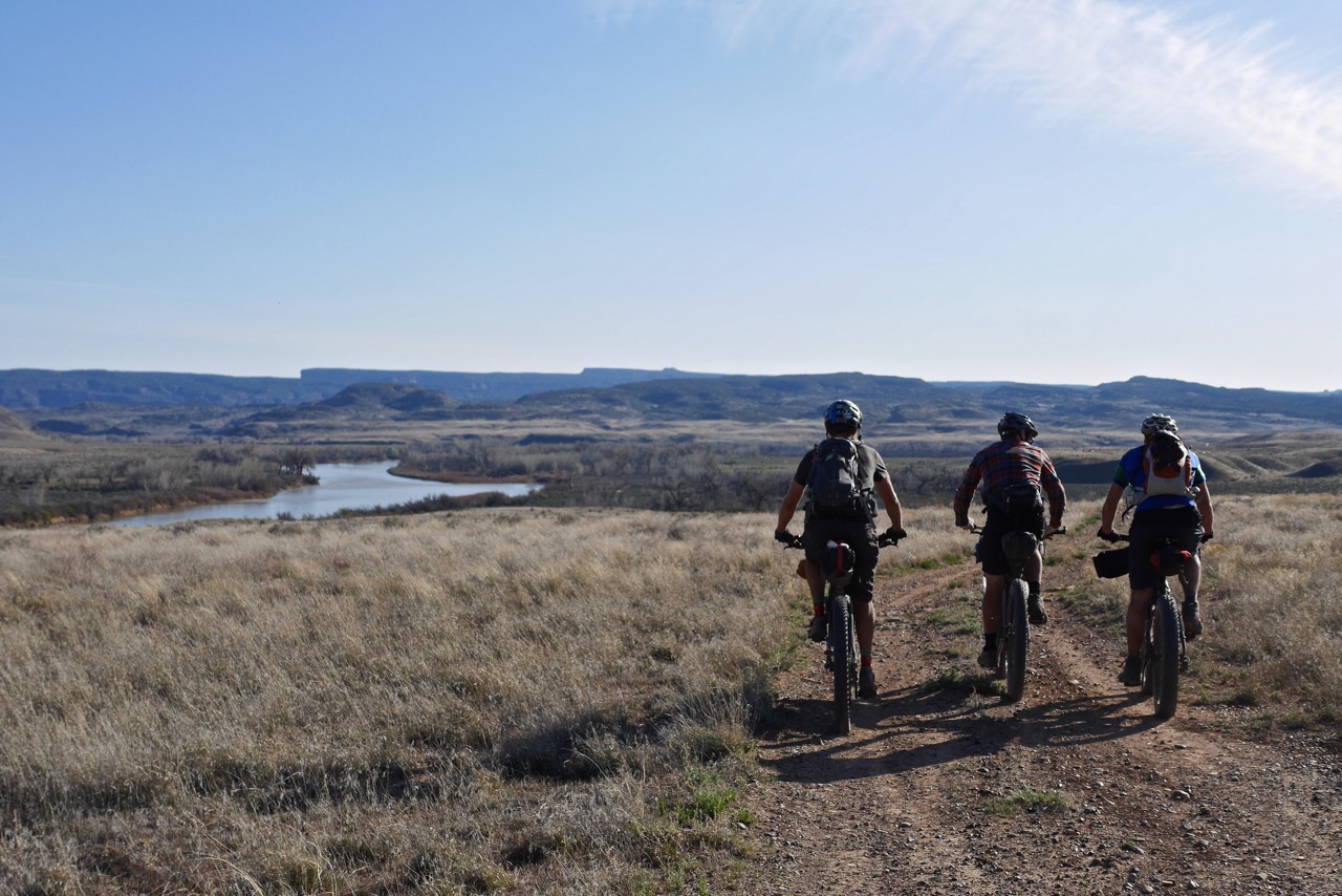
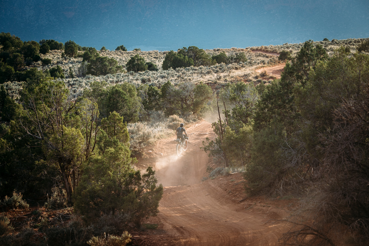
Kokepelli’s Trail is part of the Grand Loop, a much larger bikepacking route that utilizes Kokopelli’s Trail system, The Paradox Trail, and Tabegauche Trail. Parts of the trail are used by jeeps, ATVs, and motorcycles. The trail is signposted with blue and white logo stickers as well as brown arrow signs along the way. From the trailhead at Loma, after a quick gravel traverse, the route starts with 10+ miles of mesa singletrack overlooking the Colorado River. A few miles after Rabbit Valley it is highly recommended to take the scenic off-route detour on the Western Rim trail.
Links and Resources
- Over the Edge Fruita
- Fruita/Grand Junction Map (for purchase)
- BLM – Kokopelli’s Trail
- Joes Ride Report Part 1 / Part 2 / Part 3


Terms of Use: As with each bikepacking route guide published on BIKEPACKING.com, should you choose to cycle this route, do so at your own risk. Prior to setting out check current local weather, conditions, and land/road closures. While riding, obey all public and private land use restrictions and rules, carry proper safety and navigational equipment, and of course, follow the #leavenotrace guidelines. The information found herein is simply a planning resource to be used as a point of inspiration in conjunction with your own due-diligence. In spite of the fact that this route, associated GPS track (GPX and maps), and all route guidelines were prepared under diligent research by the specified contributor and/or contributors, the accuracy of such and judgement of the author is not guaranteed. BIKEPACKING.com LLC, its partners, associates, and contributors are in no way liable for personal injury, damage to personal property, or any other such situation that might happen to individual riders cycling or following this route.
Please keep the conversation civil, constructive, and inclusive, or your comment will be removed.