


The Holyland Challenge
Distance
860 Mi.
(1,384 KM)Days
14
% Unpaved
90%
% Singletrack
35%
% Rideable (time)
98%
Total Ascent
68,000'
(20,726 M)High Point
3,700'
(1,128 M)Difficulty (1-10)
6.5?
- 5Climbing Scale Moderate79 FT/MI (15 M/KM)
- -Technical Difficulty
- -Physical Demand
- -Resupply & Logistics
Contributed By
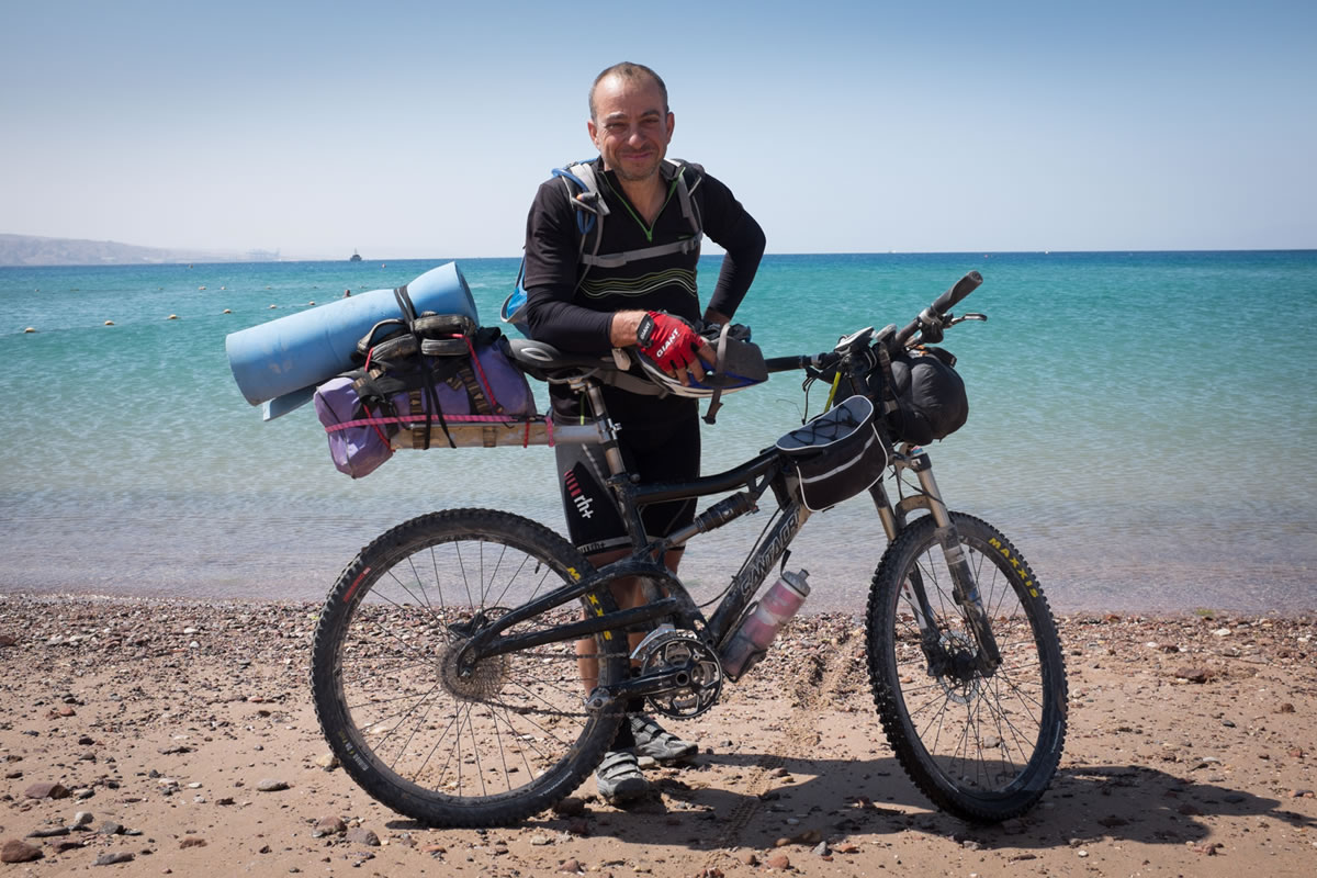
Nicholas Carman
Gypsy by Trade
Note: As of late 2023, we have removed the Holyland Challenge from our route map due to Israel’s war in Gaza. For political and security reasons, we do not advise travel to the region.
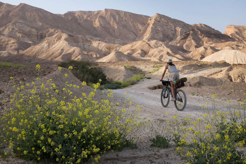
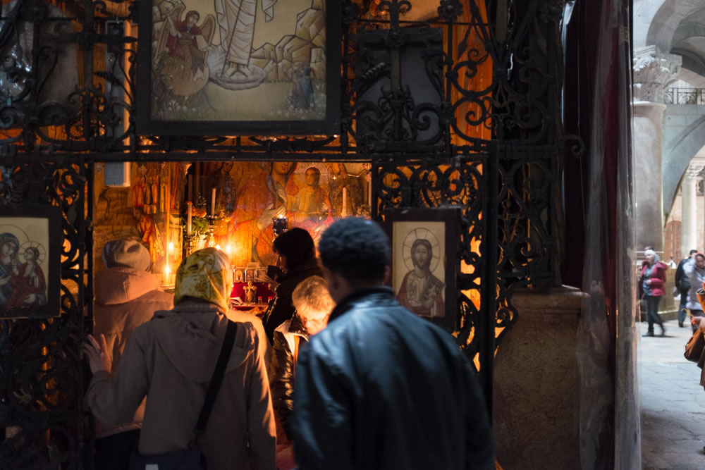
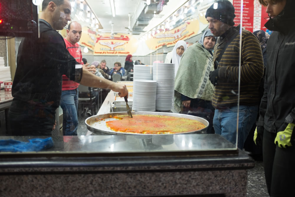
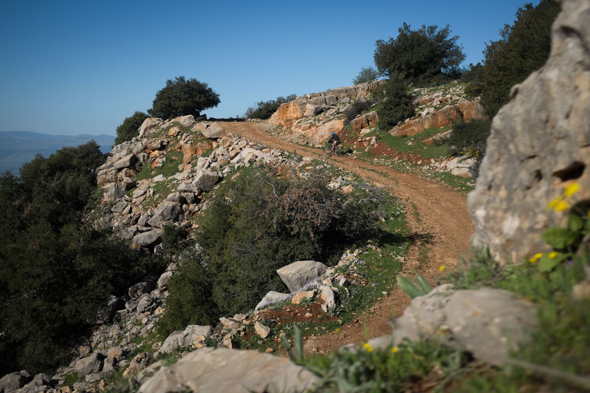
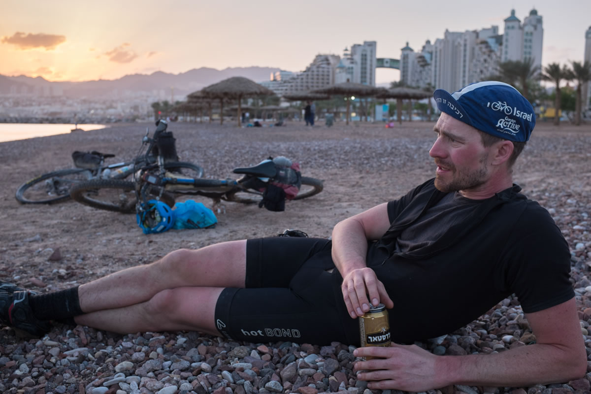
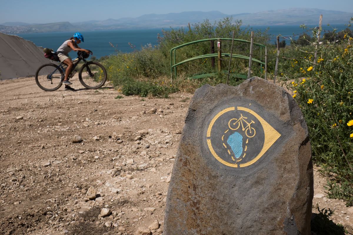
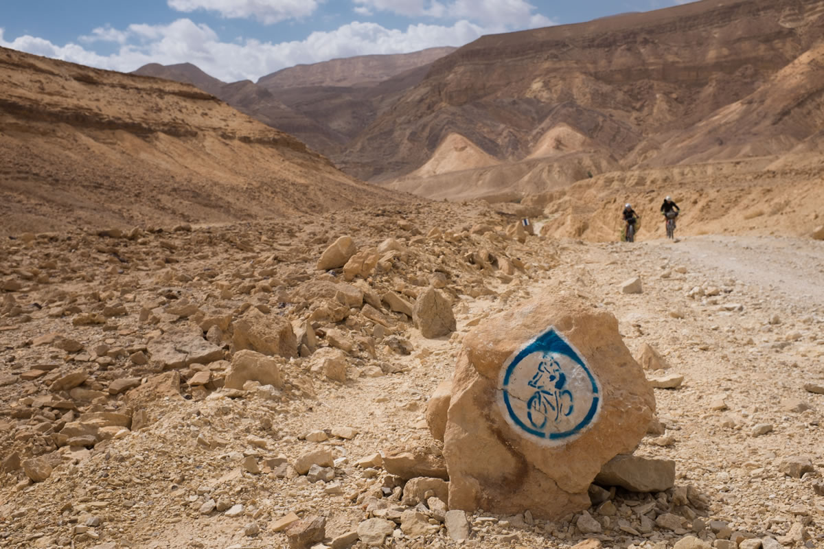
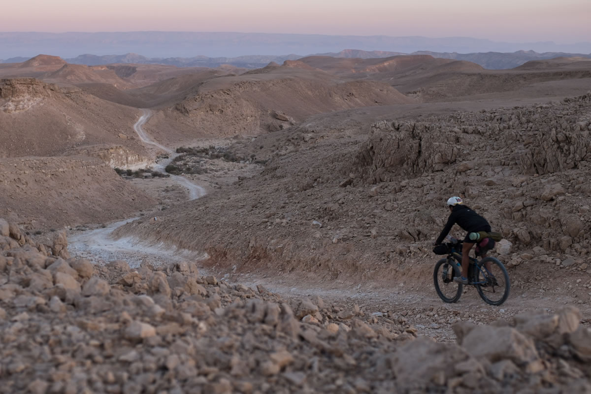
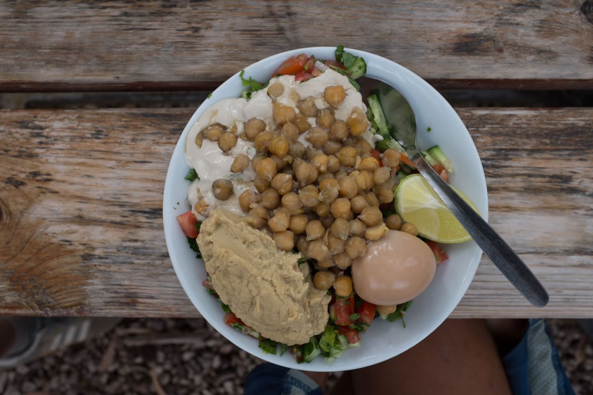
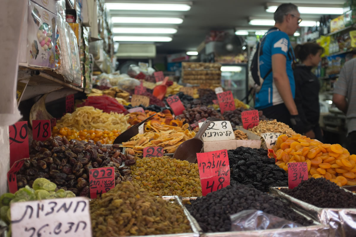
Traverse the Golan Heights, ring around the Sea of Galilee, ride the boardwalk along the Mediterranean Sea into the modern city of Tel Aviv, push through the crowded souk in the old city of Jerusalem, descend 4000ft to the Dead Sea, and enjoy the flowing, durable trail of the world’s first government sponsored national singletrack biking trail–the Israel Bike Trail–which comprises the last 200 miles of the route across the Negev Desert. Pack your bags with hummus and pita, halva, fresh cucumbers, a tall can of Goldstar lager- it’s a big ride.
The Holyland Challenge (HLC) is an adventurous path across the Golan Heights and Israel exclusively comprised of public-access routes and is open to ride at any time of the year. Summers are hot and dry, winters in the north may be cool and rainy. In many areas substantial rains can lead to unridable conditions or flash floods, although most of the country is dry most of the time. The northern half of the country, north of Be’er Sheva is characterized by a classic Mediterranean climate, while the southern half of the country is desert. Spring and fall are the best times to ride, especially March and April. Winter can be surprisingly cool, although anyone from a more northern climate won’t be surprised by the weather.
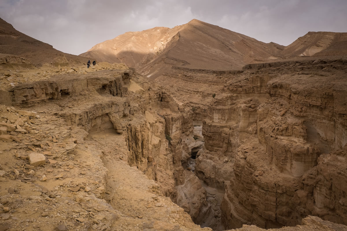
The HLC route begins in the Golan Heights, which despite historical conflict, has been safe and stable for several decades. The route does not enter the West Bank, although a tour through modern Palestine is recommended if time allows. There are some fantastic natural trails in the West Bank, including the famed Sugar Trail through the Judaean Desert from Jerusalem down to Jericho at the Dead Sea.
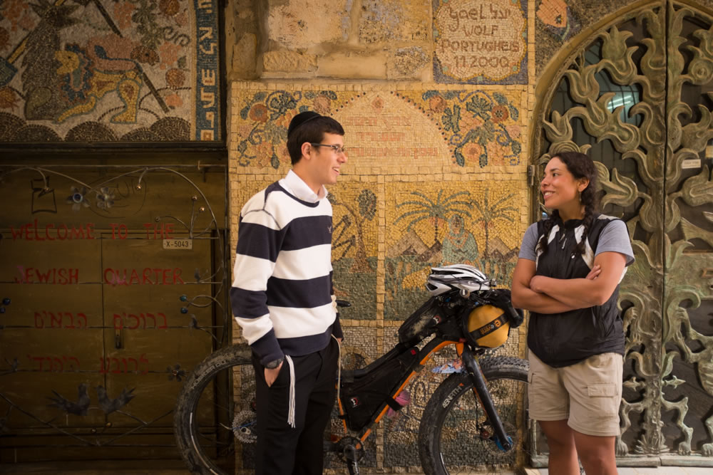
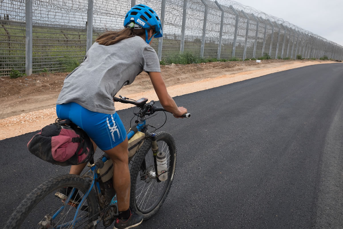
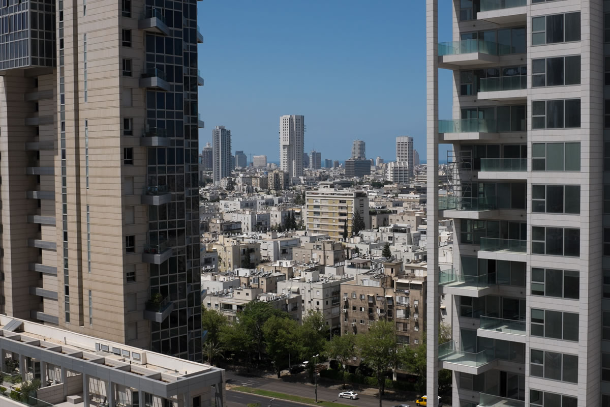
At the time of writing, travel on this route is simple and safe. Still, the HLC route manages to provide some context for the challenges which face Israel. You will ride along a tall fence along the border of Syria, you pass an informal gap in the three-part fence near Lahav between Area C of the West Bank and Israel which is frequently passed by Palestinians, and you finish in Eilat just a few miles from both Jordan and Egypt, in sight of Saudi Arabia. The route passes through many planned Jewish communities, the thriving metropolis of Tel Aviv, Arab Druz communities, Christian Arab communities, and through a number of cities with mixed personalities including strong Jewish immigrant populations from former Soviet nations and Ethiopia.
As a visitor to Israel you can expect to be welcomed by everyone you meet, and the famed hospitality of the Middle East is not exclusive to any one cultural group, but is shared by all. If you are lucky, while traveling in Israel, you may share tea with Bedouins in the desert, a meal recognizing the Passover Seder with a Jewish family, and coffee in a Palestinian community. Visitors to Israel have a special opportunity to meet diverse groups in private settings, a luxury not immediately available to many local residents–Jewish, Palestinian, or otherwise–due to cultural tensions. Visitors from Europe and the English-speaking world will feel at home in modern Israeli society. English is widely spoken, especially among educated professionals and those working in tourism. Cities feature progressive planning, bike paths, and housing, while public transit via trains and the Egged bus system is simple and afordable, even with a bike. If you ever need anything, just ask. You are likely to receive more answers or assistance than you need.
Route Development
The HLC originated in 2014 as an organized bikepacking challenge across Israel with over two dozen participants at the start line. Zohar Kantor returned from the Tour Divide in 2012 with the energy to create something similar at home; Limor Shany was enlisted to develop a track across the country, building on his organized mountain bike tours of Israel; Ilan Tevet is responsible for much of the organization and networking which has made the HLC event successful.
Less than half the field finished in 2014, led by Israel’s legendary sponsored rider Hanoch Redlich, who completed the course in 6:10:06 to establish a strong record. Riders from the UK, Spain, Germany, and the USA have participated in the event. The HLC has ignited an already simmering interest in self-supported bikepacking in Israel, which will continue with the third annual HLC on April 7, 2016. This year a half distance will also be offered to Jerusalem, called the HLC700.
The HLC 2015 was plagued by rain in the north, unridable trail conditions, and a restart in Arad. However, the route is technically rideable all year. Visit the HLC website for abundant resources and GPX tracks including a list of POIs along the route.


NOTE: Map shows POIs for resupply in the south; north of Arad is fairly consistent.
Submit Route Alert
As the leading creator and publisher of bikepacking routes, BIKEPACKING.com endeavors to maintain, improve, and advocate for our growing network of bikepacking routes all over the world. As such, our editorial team, route creators, and Route Stewards serve as mediators for route improvements and opportunities for connectivity, conservation, and community growth around these routes. To facilitate these efforts, we rely on our Bikepacking Collective and the greater bikepacking community to call attention to critical issues and opportunities that are discovered while riding these routes. If you have a vital issue or opportunity regarding this route that pertains to one of the subjects below, please let us know:
Highlights
Must Know
Camping
Food/H2O
Trail Notes
Resources
- Shred singletrack in between places best known from holy scriptures.
- Enjoy wildflowers in the Golan Heights, the crowded markets of the Old City of Jerusalem, swimming in the Sea of Galilee, the hyper-modern city of Tel Aviv, the expansive Negev desert, swimming in the Red Sea at the finish in Eilat.
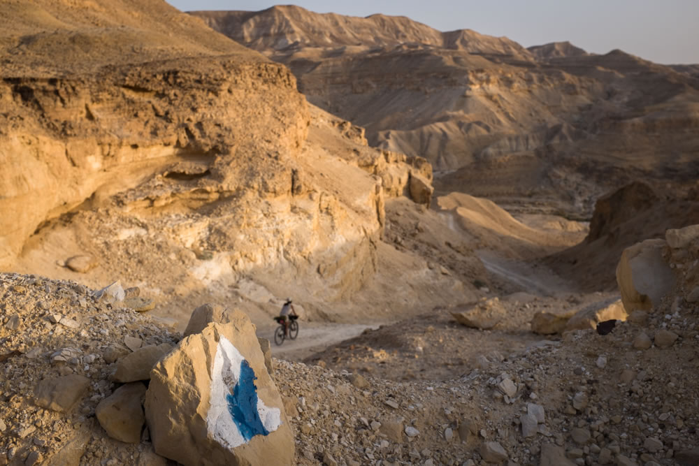
- The Israel Bike Trail, a rapidly expanding national mountain bike trail across the country. As the trail develops, the HLC may evolve to include newer sections of the IBT. For now, the HLC track is the best ready-made bikepacking route across Israel.
- Middle Eastern hospitality, locally grown produce, Levantine food. Cucumbers, dates, tomatoes, grapefruits; halva and pita; coffee with cardamom, Israeli wines and the flavors of the emergent microbrewery scene. Ask local bikepackers how to get some Zba Beer, the official beer of bikepacking and the HLC in Israel.
- Israel is extremely safe. Aside from what you read in the newspapers, areas travelled by the HLC route showcase a happy, healthy country and a place that is productive and a great source of pride for many people. Entering the country by land or air requires a rigorous screening at immigration, whereafter you will enjoy the same liberties as other Israelis. On the ground you will learn a lot more about the issues which challenge the region, both inside the borders of Israel and abroad. An open mind and occasional restraint in conversation are essential.
- Jewish Israelis are confident, proud, and knowing. Expect low level arguments along with incredible kindness and hospitality. You will be told how to board the train with your bike, that you can’t take your bike on the bus (you can), that you can’t cover certain distances on the bike in a day (you can), that you won’t survive the chill of the night (you will), that you shouldn’t go to Egypt or Jordan (you should). You will argue, make friends, and figure it out. They are not being rude to you. That’s how they interact with one another.
- It is possible to travel to Egypt and Jordan. At this time, none of the land borders to Syria and Lebanon are open. There is one crossing to Egypt at Eilat/Taba and three border crossings to Jordan. The southernmost crossing at Eilat/Aqaba provides free entrance to Jordan as part of a program to incentivize tourism in the less populous southern part of the country. Wadi Rum and Petra, the two most famous destinations in Jordan, are easy to access from Aqaba by bike within a few days.
- There are many military training sites in Israel, especially in the Negev Desert. Respect the signs which prohibit entrance to certain areas. However, the concrete blocks painted with “No Entrance” signage are sometimes present in areas which you are allowed to pass, either during certain days of the week or during daylight hours. Ask locally for more info.
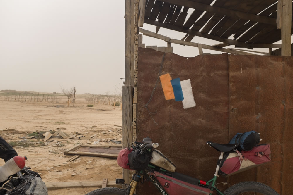
- Camping is essentially legal anywhere. Public forests feature copious picnic areas and fire pits, all of which are suitable for camping. Ask in small communities for a place to put a tent. Many small communities are gated, with one or two main vehicular entrances. Camping is officially restricted in the nature reserves. Entering or remaining in these reserves is officially prohibited past dark.
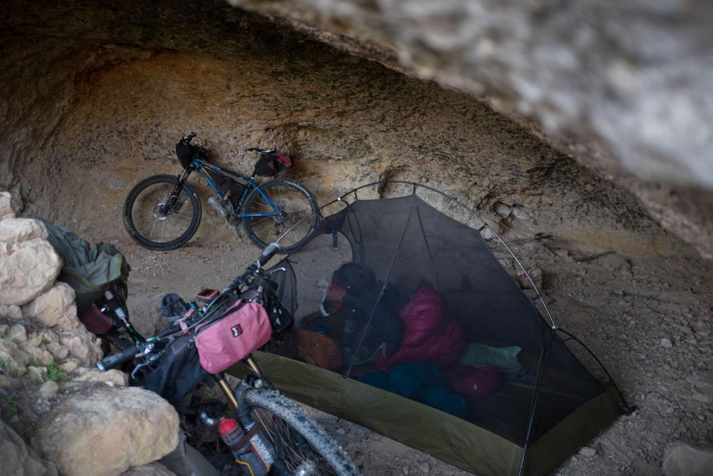
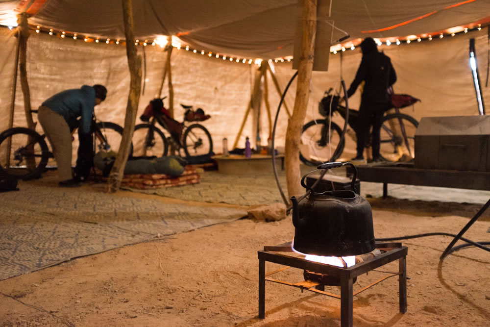
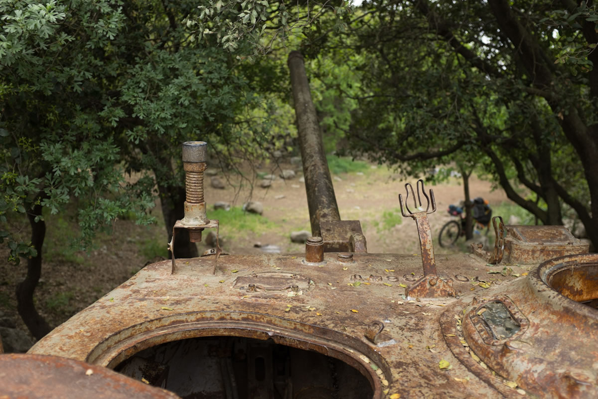
- There are many options for impromptu shelter along the route if needed. In several months along the HLC, we camped in a cave outside Jerusalem, in an abandoned farm structure next to the Sea of Galilee, in an abandoned miltary bunker outside Be’er Ora, on the beach in Tel Aviv, in an abandoned bus on the Jordanian border and even in a large tent intended as shelter for hikers on the Israel National Trail at Shaharut.
- In small communities, where well stocked stores are well priced to serve the community. At gas stations, which are marked as waypoints on the route to aid HLC racers who rely on 24-hour businesses. Be sure to stock up on delicacies only found in Arab towns in the north, such as Majdal al-Shams, Jish, and Daliyat al-Karmel. The crowded market in Jerusalem is also a great place to feed.
- Most stores are closed on shabbat, Saturday. Good luck finding bread and beer during Pesach, or Passover. Bread can always be found in Arab communities.
- Water is found often enough that only 3-5 liters is required as a maximum capacity, and less is adequate in cooler months. During the race on a hot day, some riders will carry more, but a touring pace allows diversions for more frequent resupply. The two longest sections without water are from Ein Tamar at the south Dead Sea to Sde Boker (divert to the Oron or Zim plant for water at the halfway point), and from Shaharut to services in Timna National Park.
- There is a small cafe in Ne’ot Semadar in the south, but no store, which came as a surprise to us despite the size of the community. Yahel has a small store in the outlet mall, open during the day. Be’er Menuha has a store open 24 hours, just off route. Ein Tamar at the Dead Sea is a mile off route but is worth a visit for the great store and public camping adjacent to the large pavilion. Bathrooms and fresh water are available. In the northern half of the route resupply is uncomplicated.
- Download and print cue sheets from the HLC 2015 for a convenient big-picture resupply guide. Also, be sure to download the POIs which accompany the GPX track, coded to indicate (F)ood, (W)ater (S)helter, and (B)icycle shops.
Touring the HLC
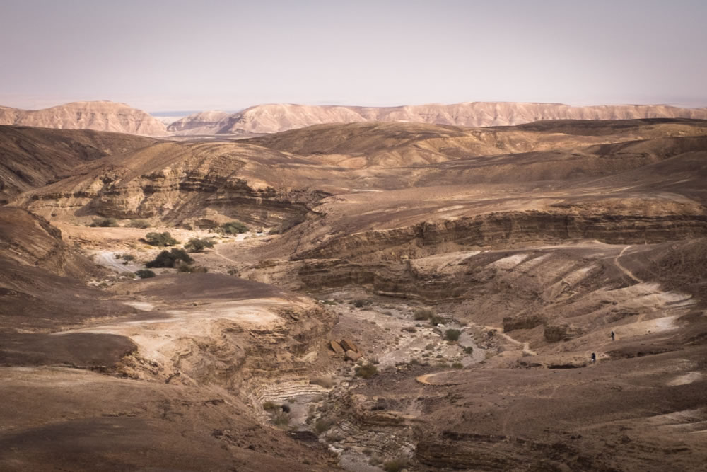
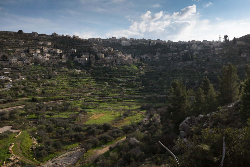
The HLC manages to create a remote off-pavement experience despite Israel’s small size and booming population, which is growing beyond 8 million people in an area only a little larger than New Jersey. The southern half of the country, comprised of the Judaean and Negev Deserts, only accounts for about 8% of the population. The populous northern part of Israel is loosely divided into “the center” and “the north”. Jerusalem is the historical cultural capital of the region to people of the three Abrahamic religions, and is the most religious Jewish city in Israel. Tel Aviv is the bustling, modern, secular city by the sea, with abundant public beaches, modern eateries, and urban planning rivaled only by the usual northern European countries. In between Mt. Hermon and Eilat are hundreds of smaller communities, a few deeply rooted in history, yet most a part of the repopulation of Israel by Zionist Jews in the last century. Many small communities were founded on the socialist ideals of the early and middle part of the century, and feature the social remnants of communal living structures. Even as modern life moves away from socialized structures, families and communities remain very strong.
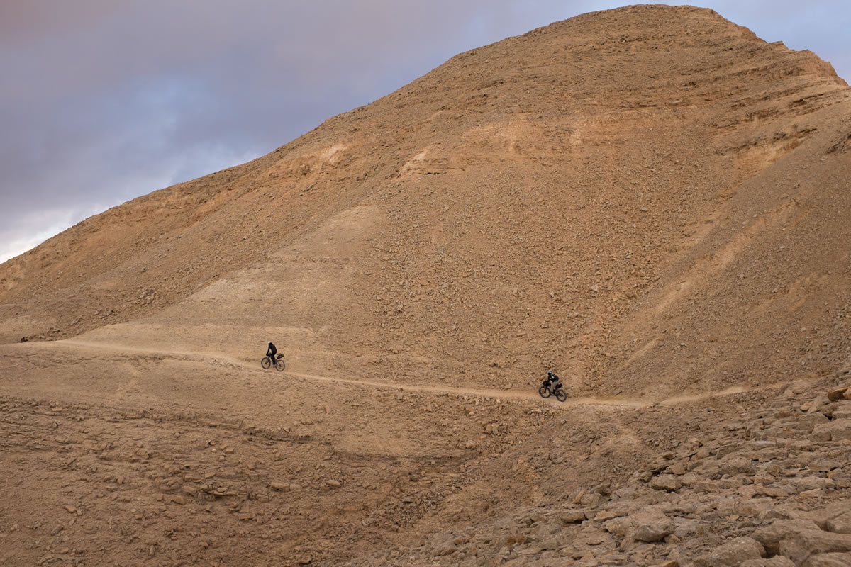
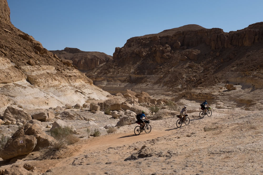
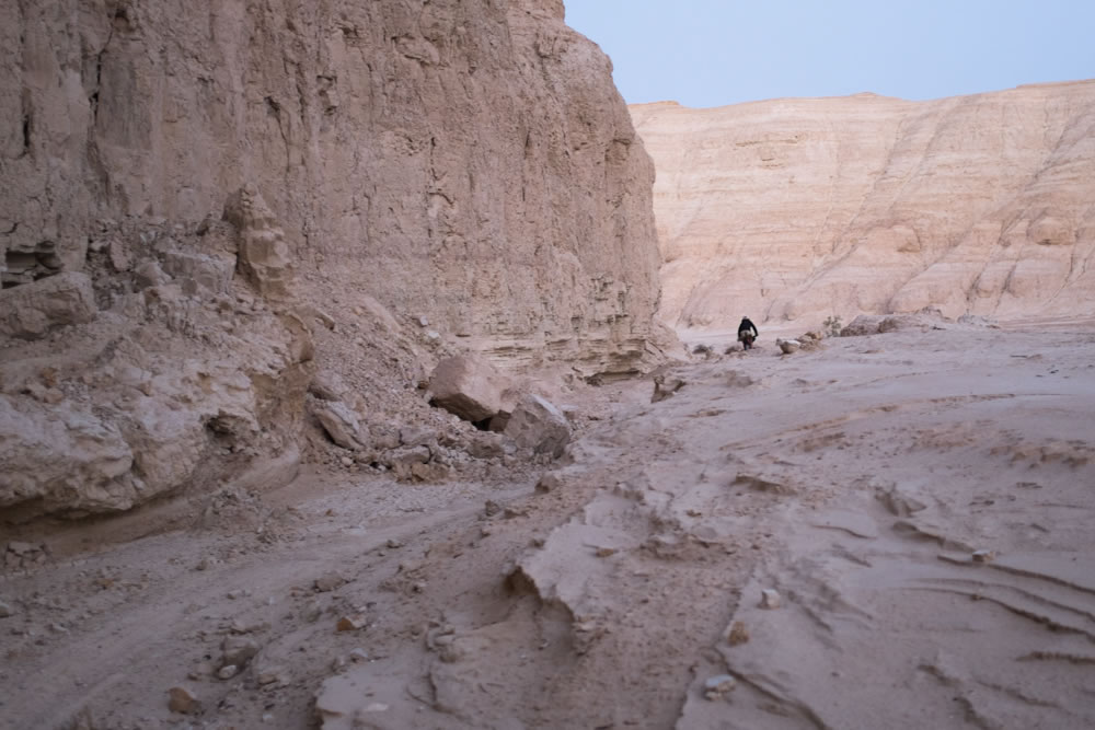
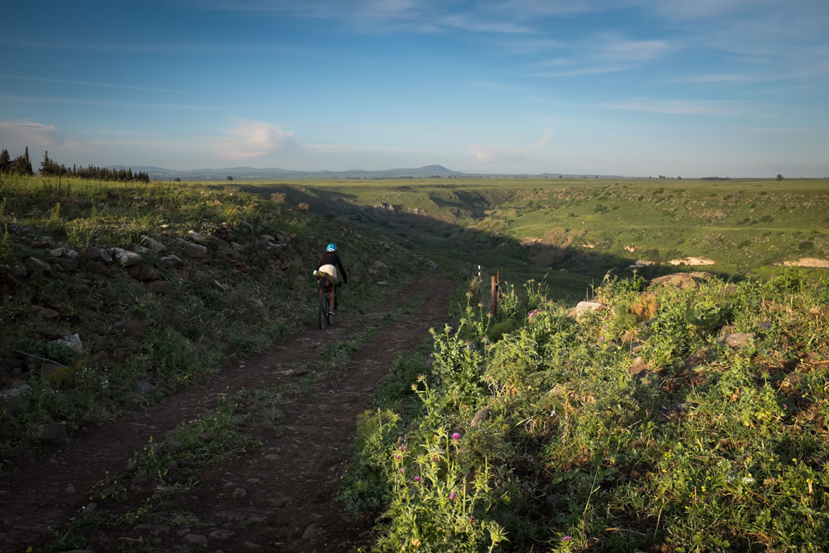
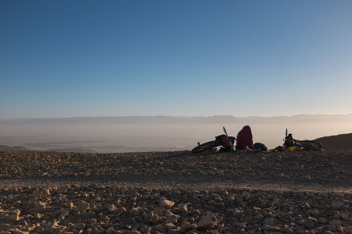
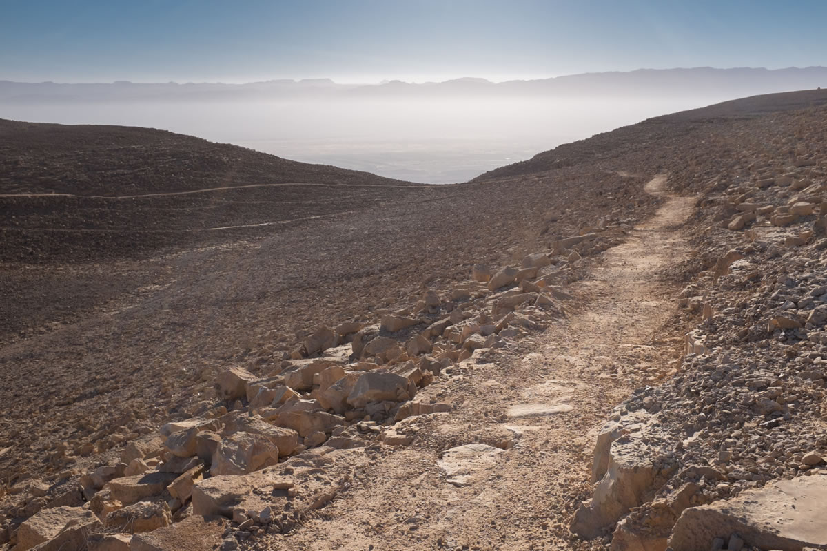
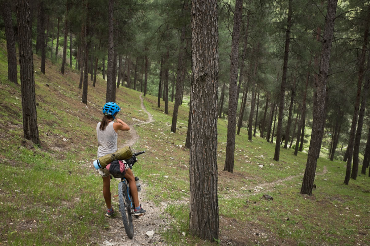
In the style of most off-pavement touring in Europe, the HLC is a diverse resource. The route, which can only be followed via GPS, is comprised of new singletrack comprising local mountain bike trail systems developed by the JNF-KKL, well-used farm roads, marked hiking trails such as the Israel National Trail and the Golan Trail, and backcountry 4×4 routes in the Negev Desert. There are many creative connections along the way which make such a well-informed track a pleasure to follow, and a peerless tool to a first-time visitor in a foreign land. Some hike a bike is necessary, but none are especially long or arduous. Much of Israel is defined by fragmented limestone trails, which require constant attention, although many smoother sections provide relief. In all, there is a lot or real mountain biking and a lot of pleasant dirt road touring.
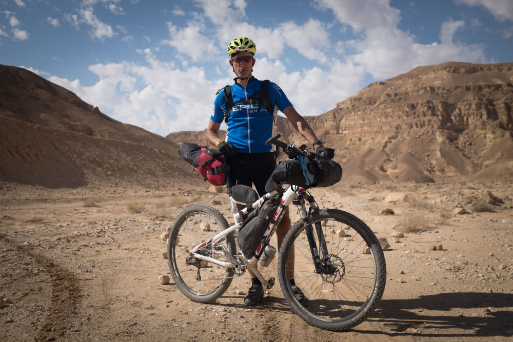
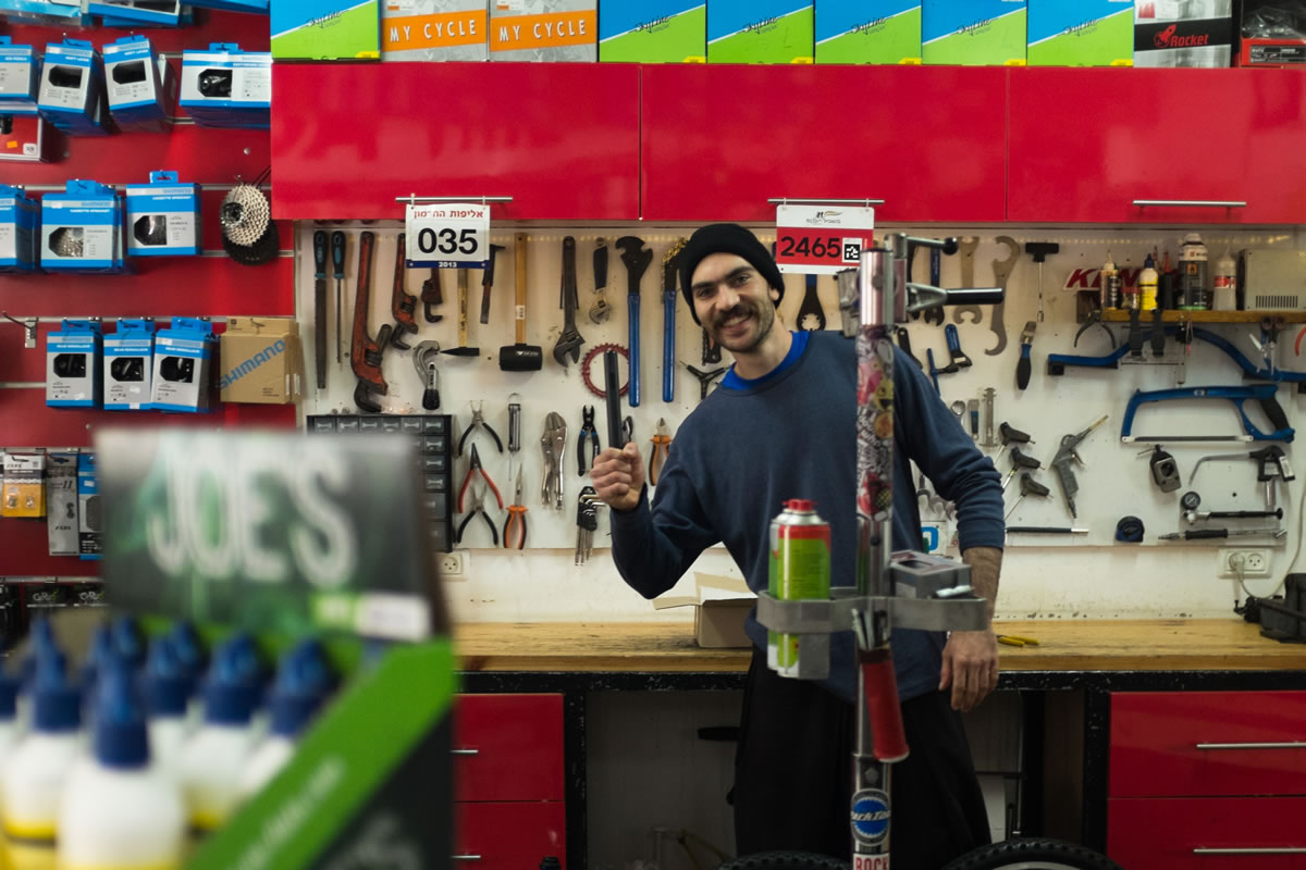
A hardtail bike with a suspension fork is recommended, although many riders prefer full-suspension bikes in Israel. Tubeless tires are essential, and more durable casings such as Maxxis EXO or LUST, Schwalbe Snakeskin, and Specialized Grid are recommended. There are several good bike shops along the route, and many more if you are willing to travel off route. Check out the supportive shops right on the HLC track at the Alon HaGalil All-Terrain Center, Haitham Cycling in Daliyat al-Karmel, and the Geofun Desert Cycling Center in Midreshet Ben Gurian (Sde Boker).
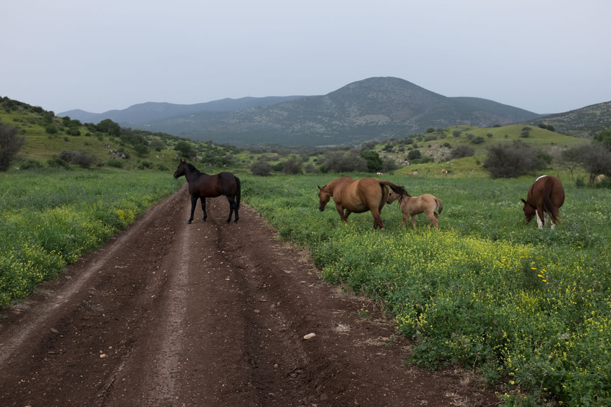
It is possible to travel extremely light on the HLC as food and water are never far away, and a series of useful waypoints indicates where services can be found along the route. A few longer sections without water require some advance planning in the desert, but even the longest section between Ein Tamar and Sde Boker is cut in half while touring by taking a several mile paved detour. Weather is typically warm and dry, and bothersome insects such as mosquitoes are limited, although scorpions and snakes are present in the warmer months. Reintroduced ibex and wild ass, as well as domesticated camels are sometimes spotted in the Negev. Sheep are herded widely across the Middle East, although sheep dogs are rarely an issue in Israel.
In almost any small community, it is appropriate to ask for a place to sleep, and to be rewarded with a pleasant campsite or even indoor accommodations, if desired. A bivy and a summer weight sleeping bag (or less) is appropriate for the HLC, although a lightweight tent may be best for a more casual touring pace. A lightweight bikepacking set-up is highly recommended. Be prepared to lift your bike to shoulder height on a few occasions.


Terms of Use: As with each bikepacking route guide published on BIKEPACKING.com, should you choose to cycle this route, do so at your own risk. Prior to setting out check current local weather, conditions, and land/road closures. While riding, obey all public and private land use restrictions and rules, carry proper safety and navigational equipment, and of course, follow the #leavenotrace guidelines. The information found herein is simply a planning resource to be used as a point of inspiration in conjunction with your own due-diligence. In spite of the fact that this route, associated GPS track (GPX and maps), and all route guidelines were prepared under diligent research by the specified contributor and/or contributors, the accuracy of such and judgement of the author is not guaranteed. BIKEPACKING.com LLC, its partners, associates, and contributors are in no way liable for personal injury, damage to personal property, or any other such situation that might happen to individual riders cycling or following this route.
Please keep the conversation civil, constructive, and inclusive, or your comment will be removed.