


Highland Trail 550, Scotland
Distance
550 Mi.
(885 KM)Days
14
% Unpaved
75%
% Singletrack
50%
% Rideable (time)
80%
Total Ascent
52,500'
(16,002 M)High Point
2,526'
(770 M)Difficulty (1-10)
9?
- 6Climbing Scale Moderate95 FT/MI (18 M/KM)
- -Technical Difficulty
- -Physical Demand
- -Resupply & Logistics
Contributed By
Lars Henning
Tour In Tune
Originally conceived by veteran endurance mountain biker Alan Goldsmith as a training route for the Colorado Trail Race (CTR), The Highland Trail was later developed into one of the most challenging self-supported off-road individual time trials (ITT) in the world.
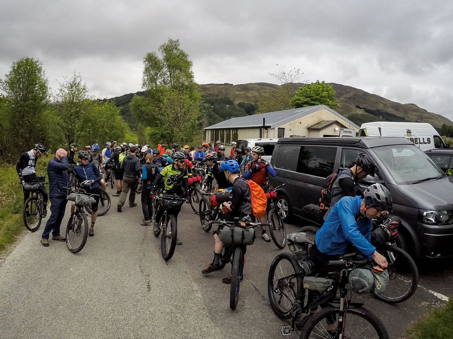
Most of the riders who finish the Highland Trail mass start event or as an ITT tend to finish the whole route in 4-8 days. This ‘summer version’ of the Highland Trail is presented as a touring route with a suggested average of 40-50 miles per day over 11-14 days.
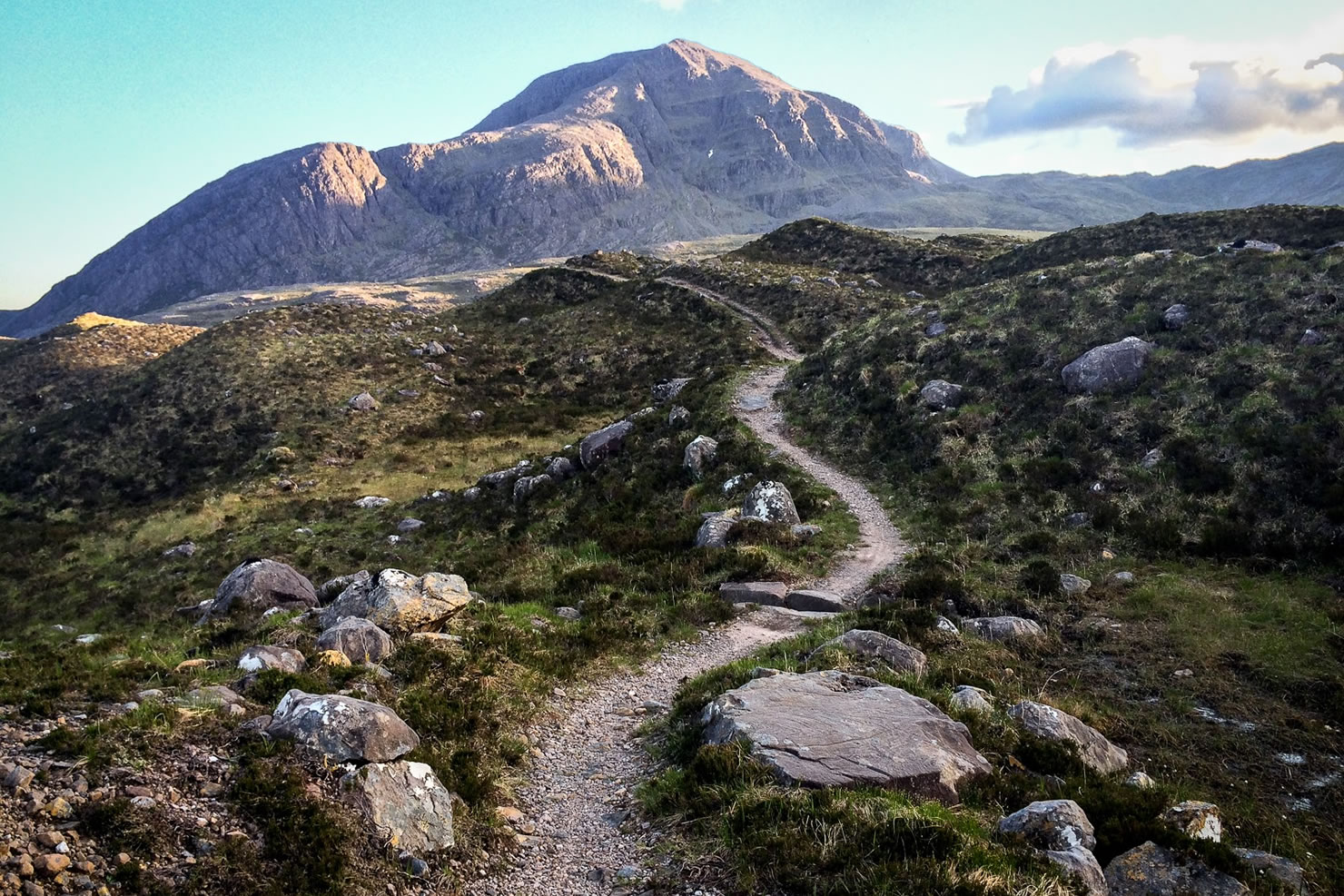
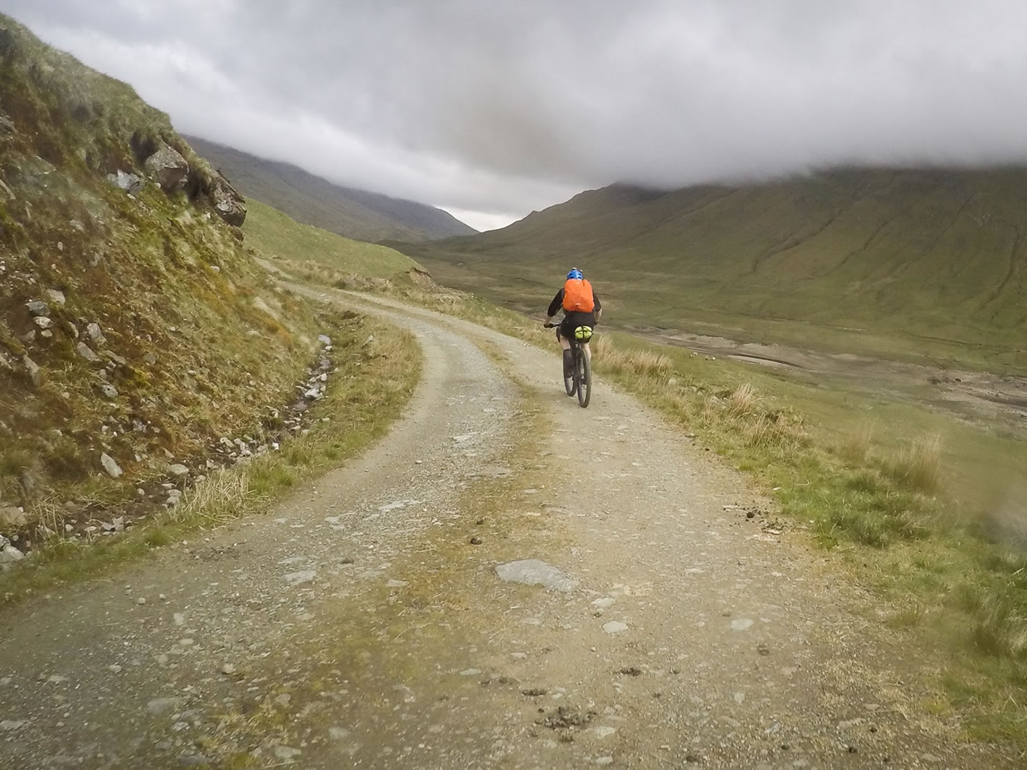
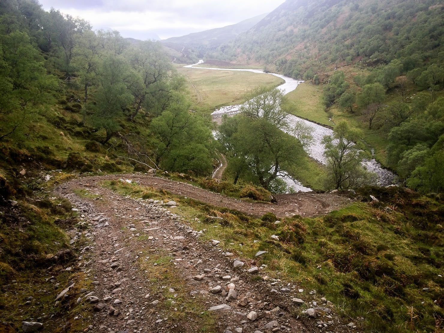
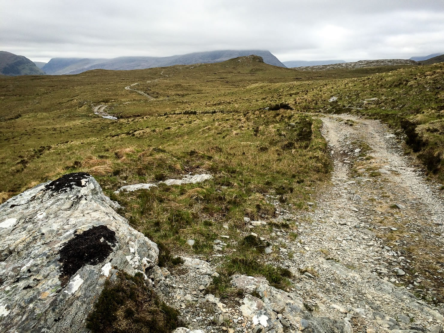
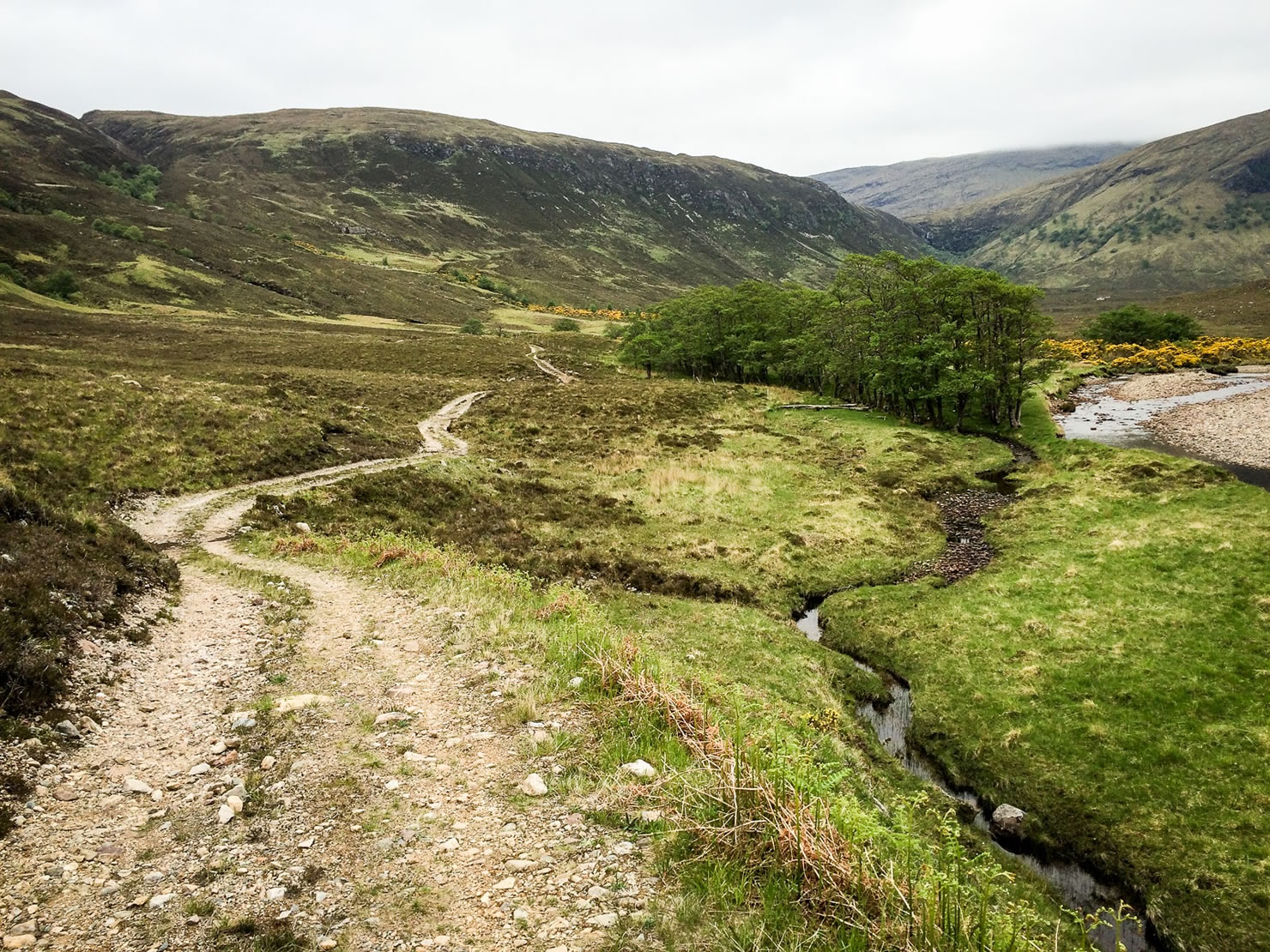
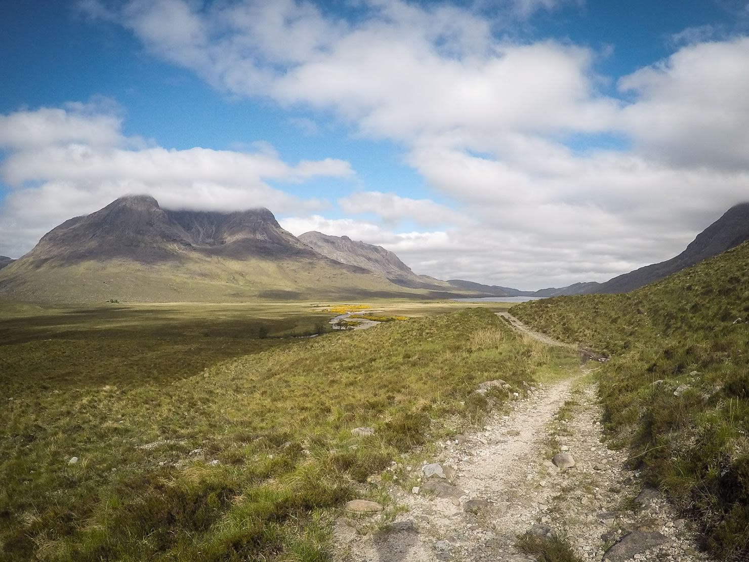
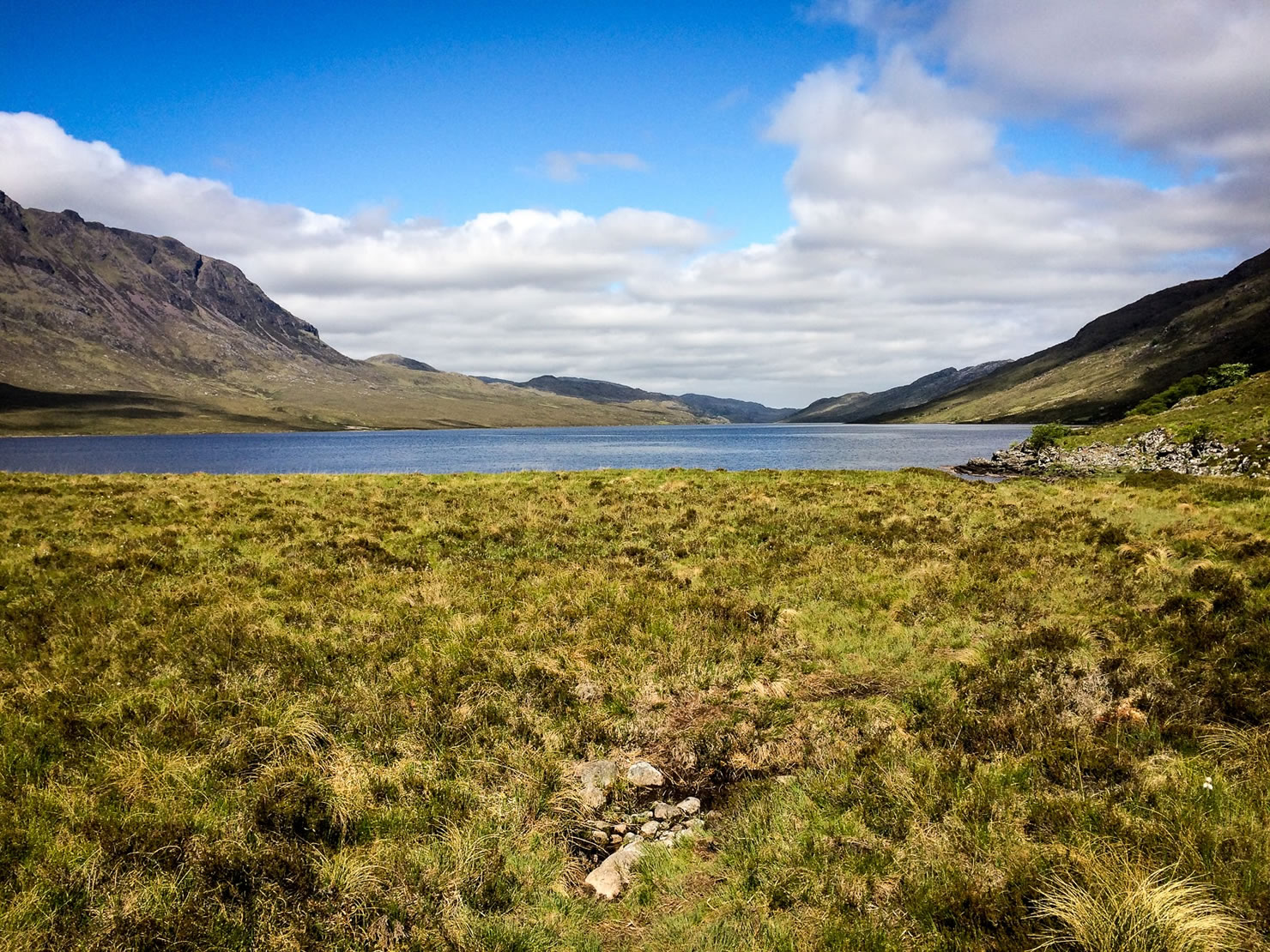
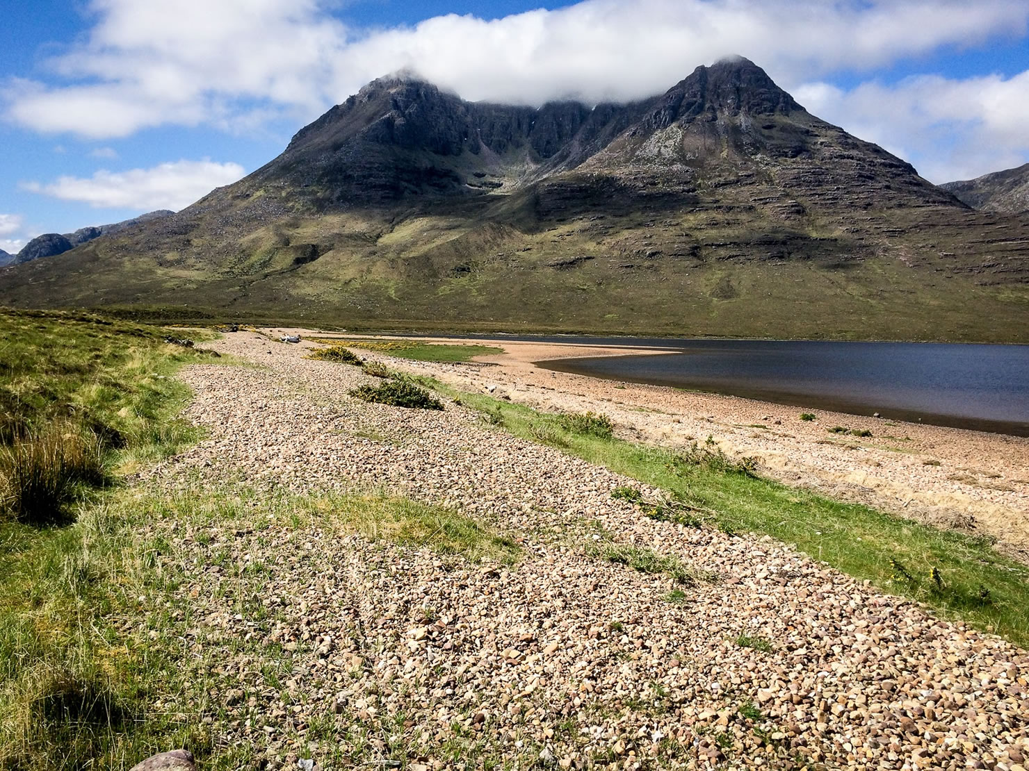
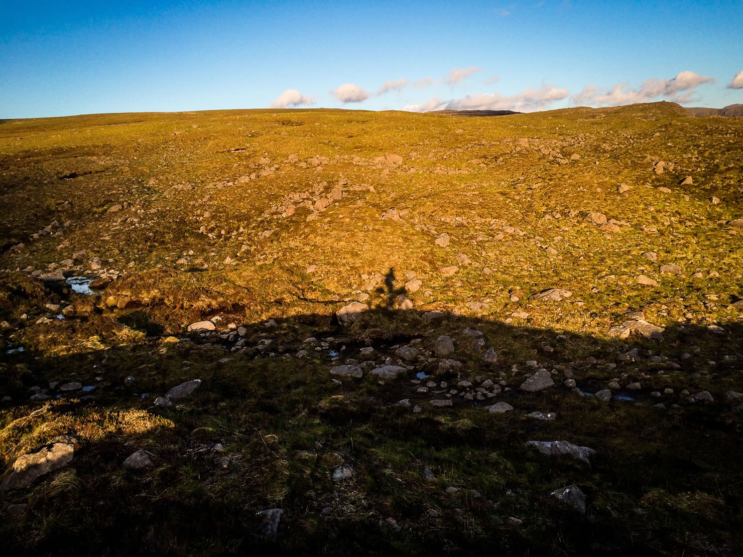
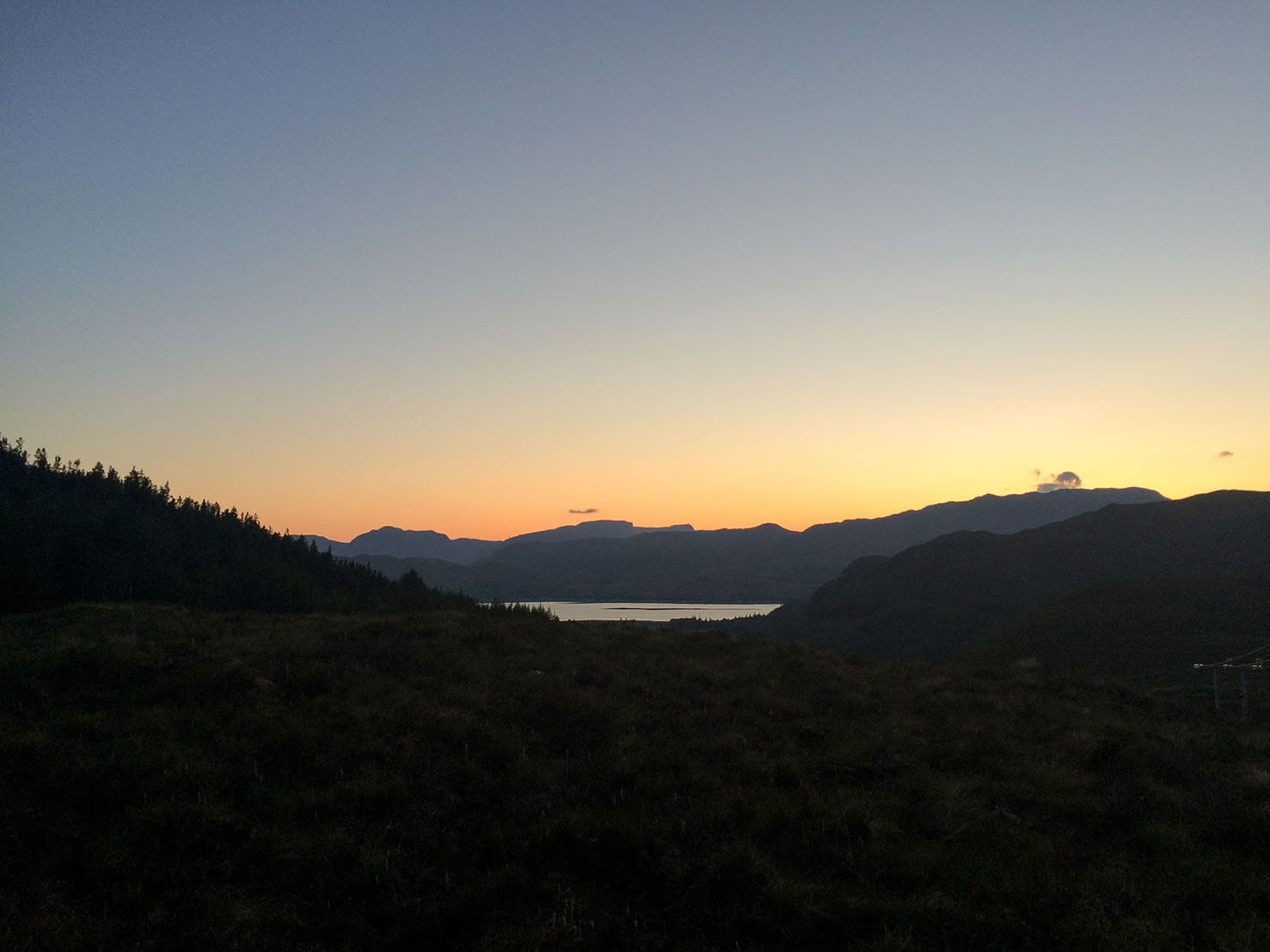
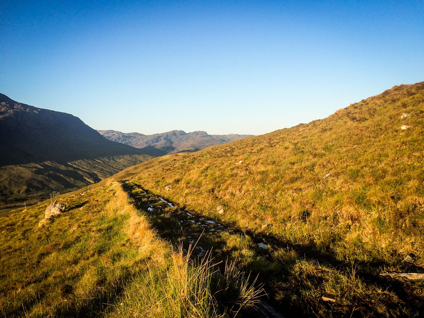
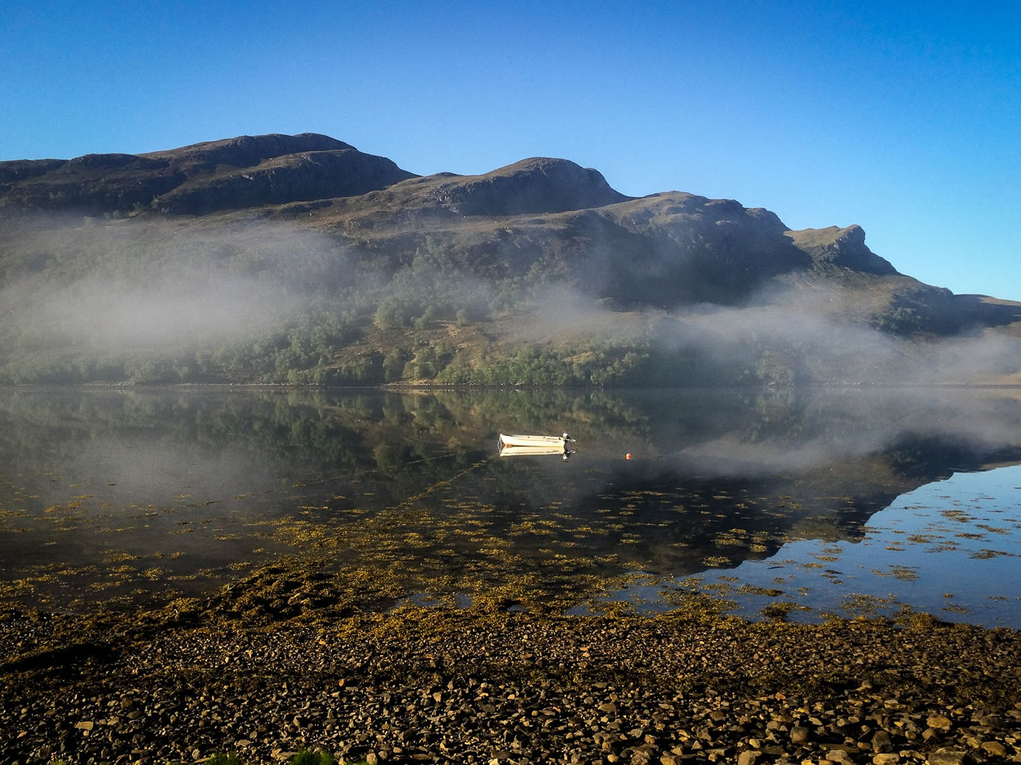
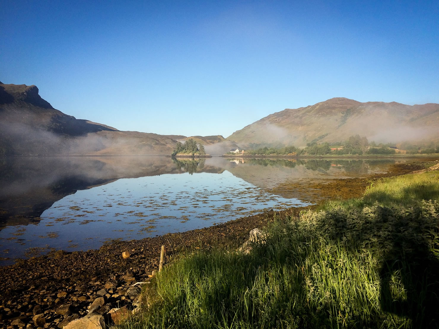
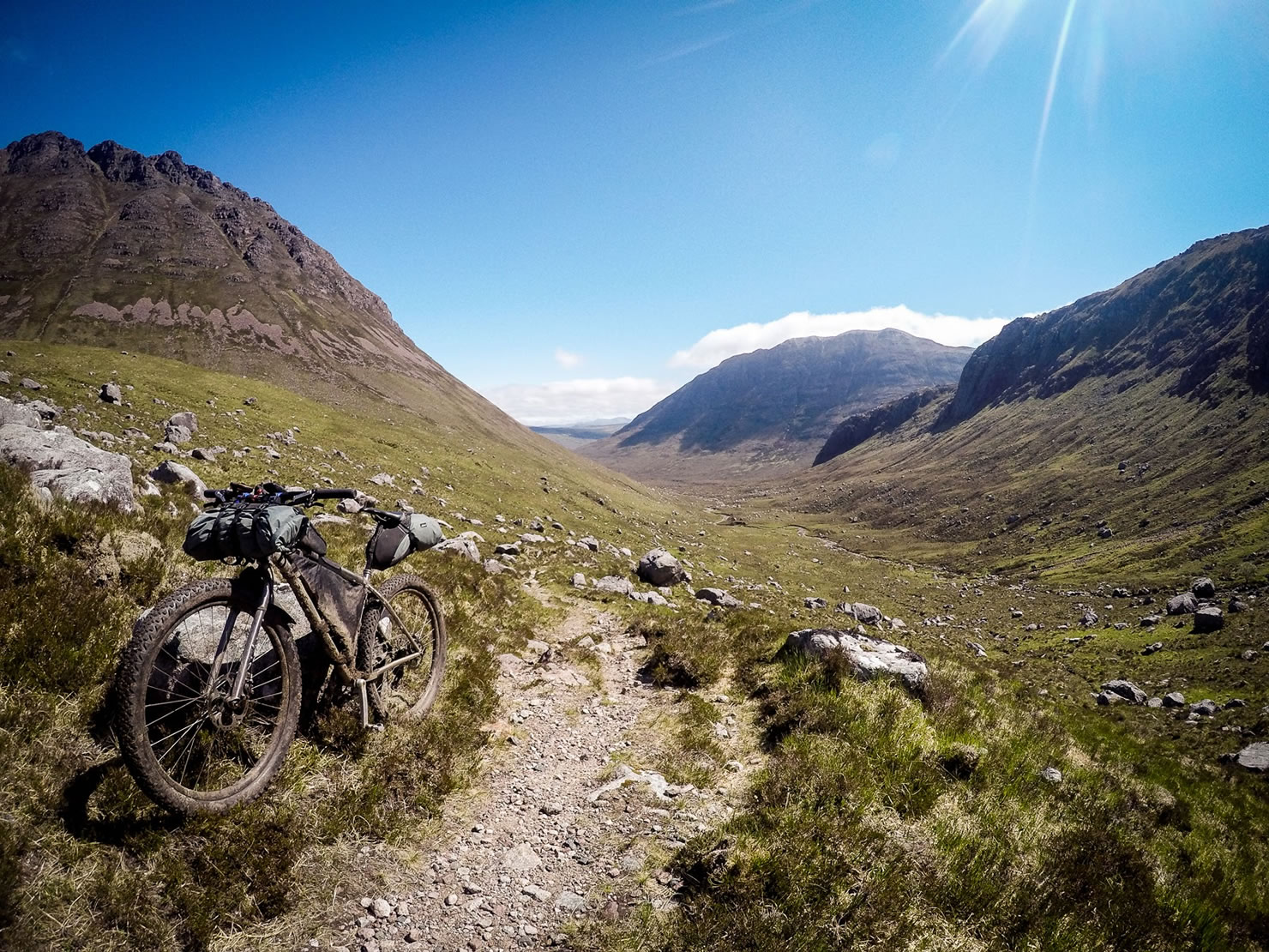
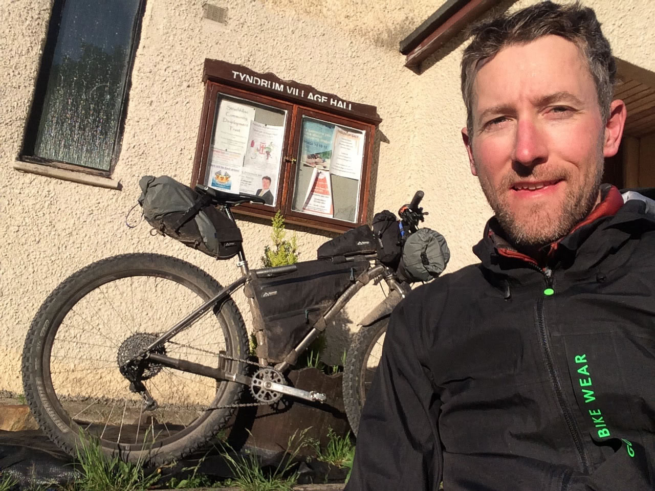
The route starts from the Tyndrum Village Hall and traverses over the Lyon and Gaur river valleys before a phenomenal 10 mile singletrack around Ben Alder. Fill up on pizza in Fort Augustus before weaving north around the lochs, with a crucial resupply at the Contin Stores near Strathpeffer before embarking on the stunning northern loop. The coastal rollercoaster along the B869 to Drumbeg is rewarded with scenic views and the excellent deli at Drumbeg Stores, followed by the world-famous Scottish pies at the Lochinver Larder.
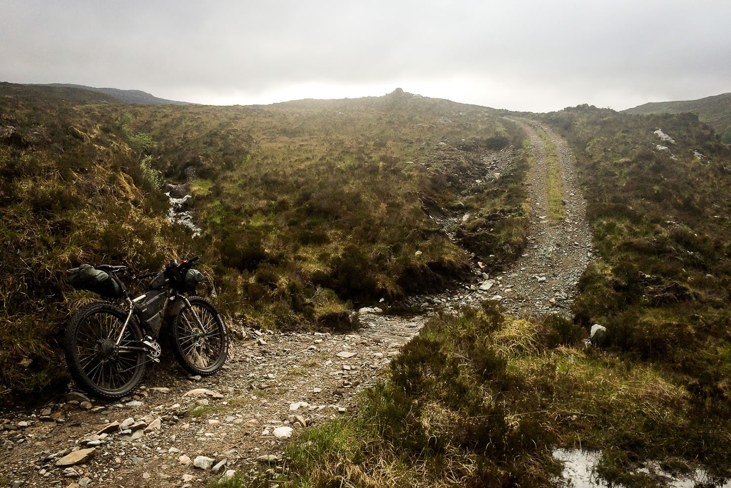
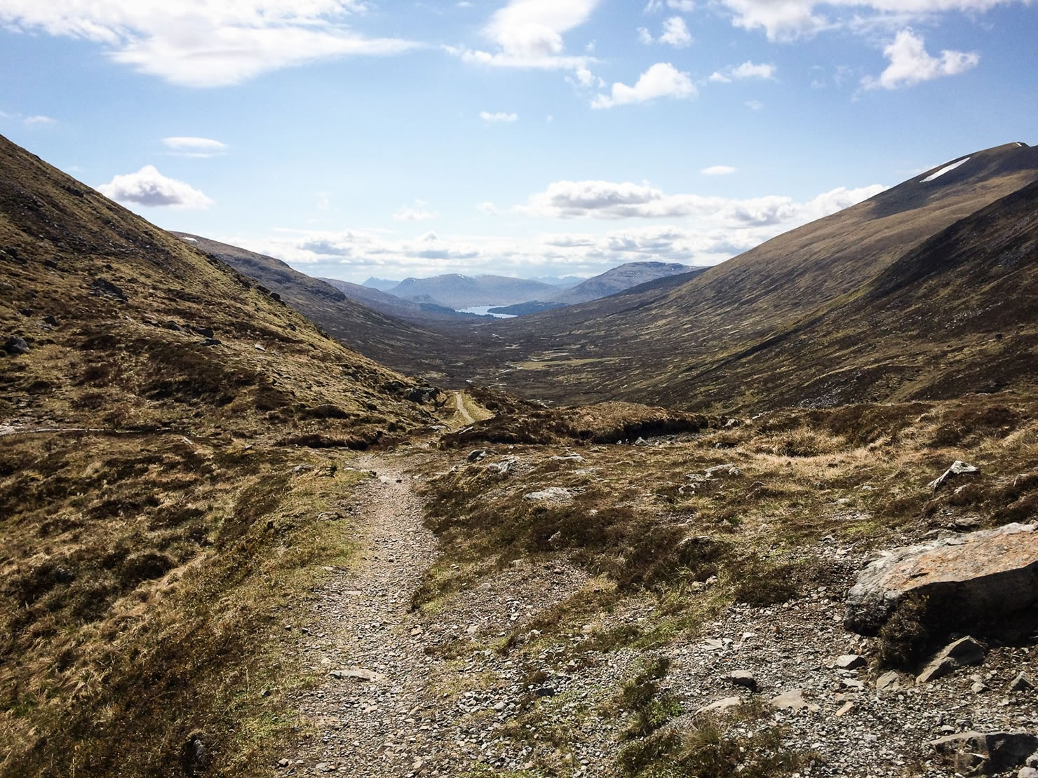
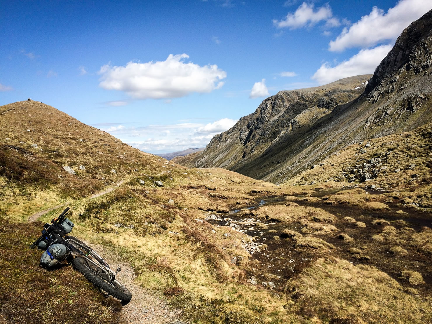
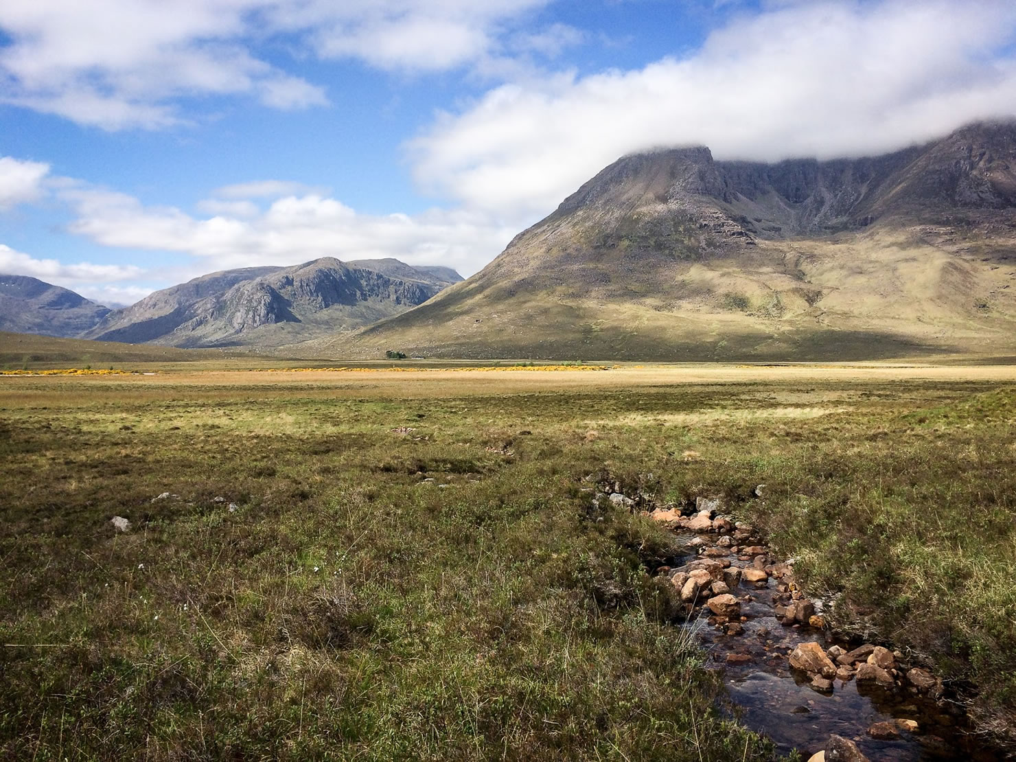
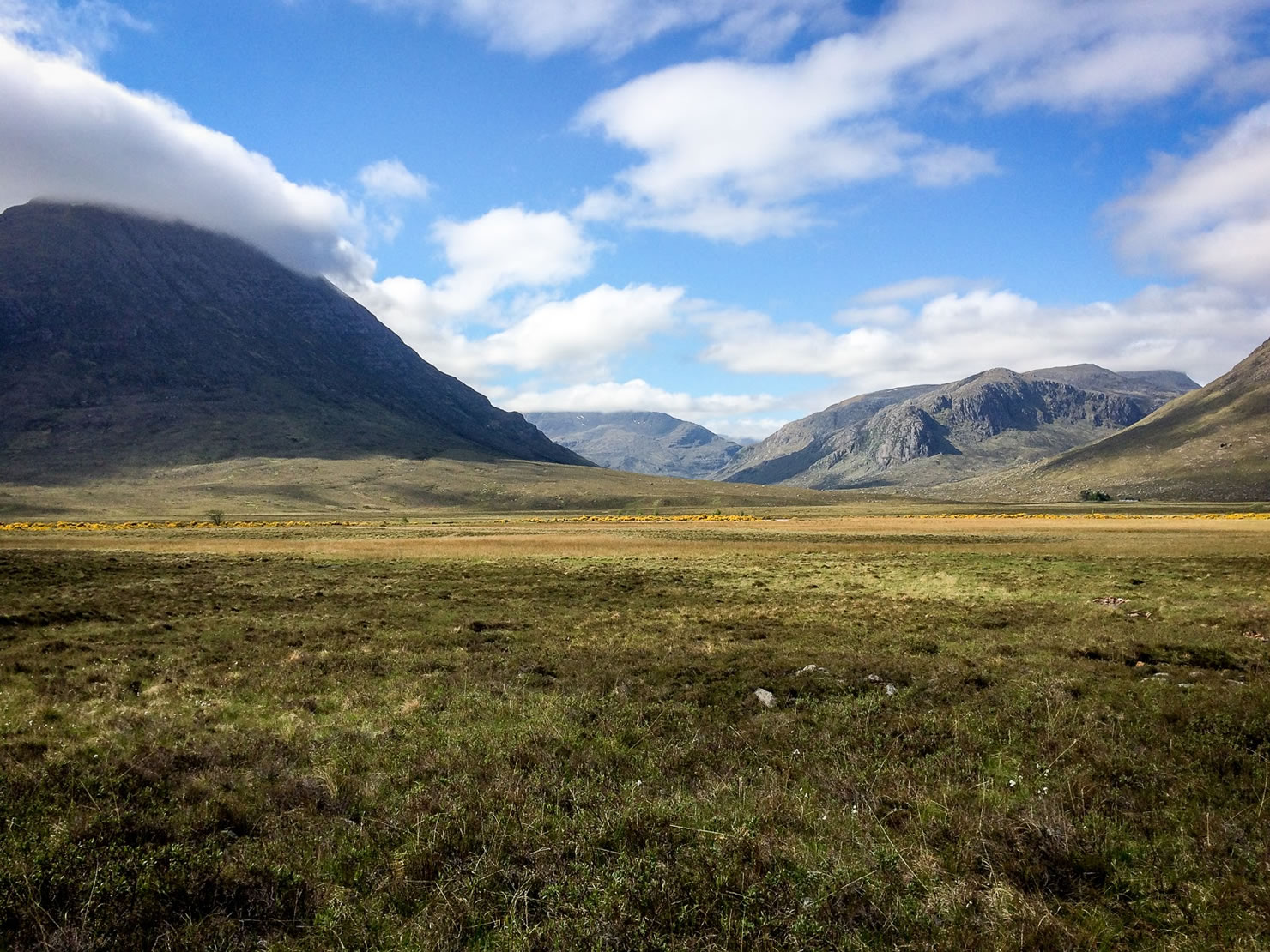
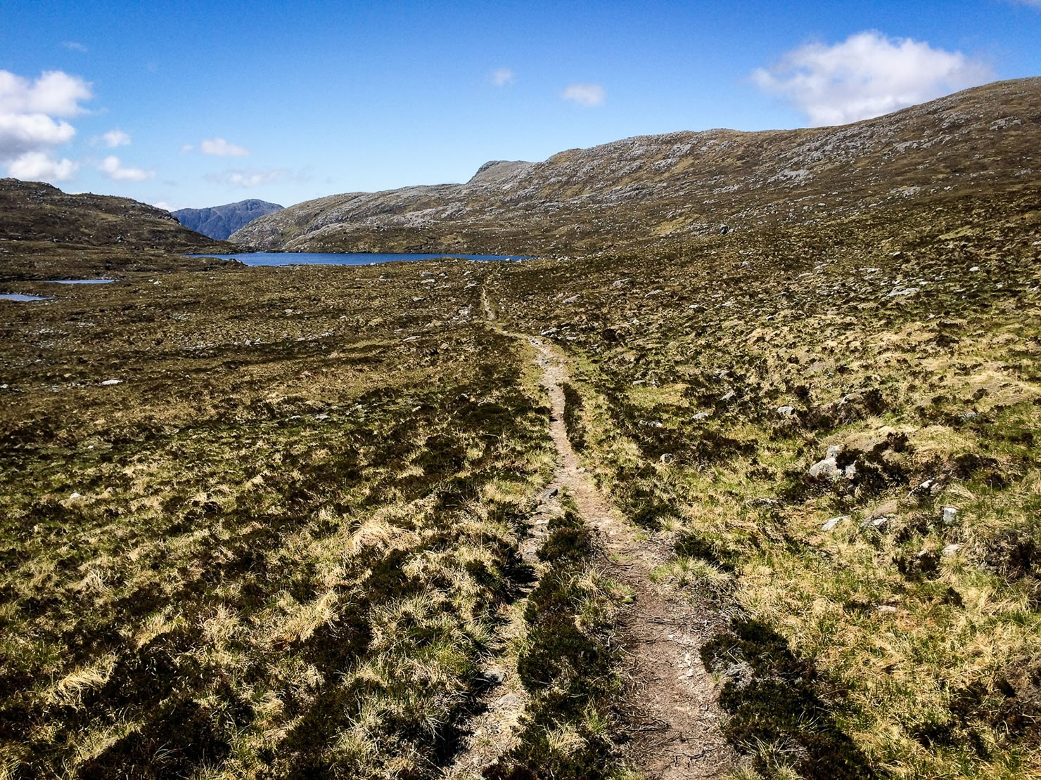
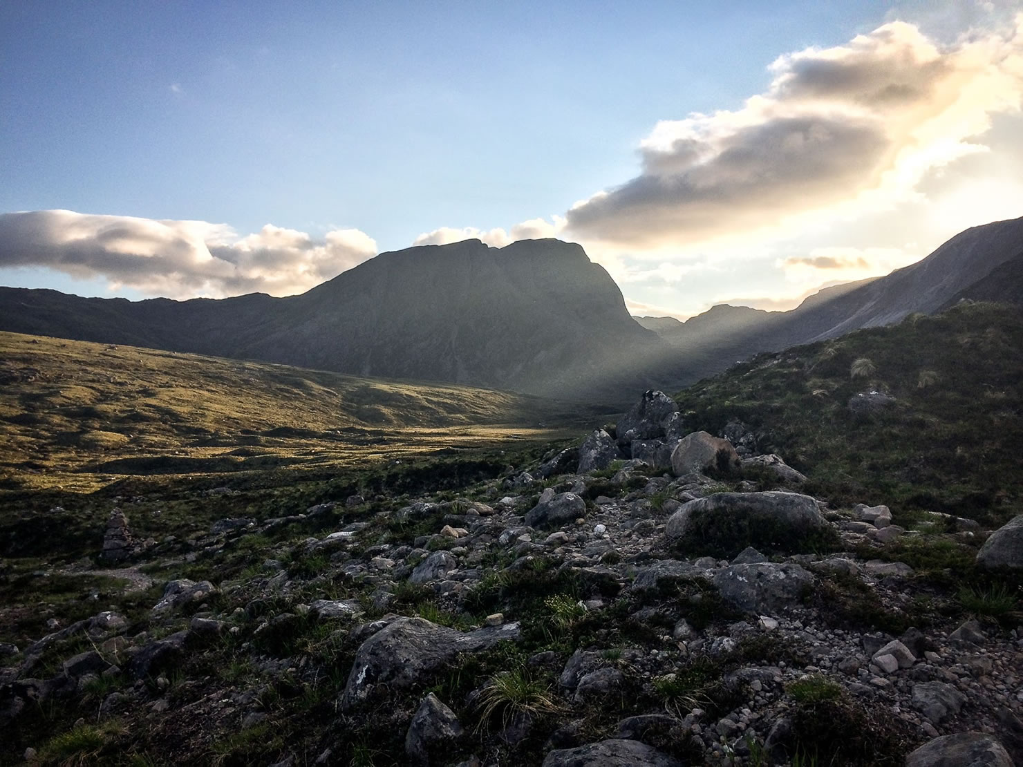
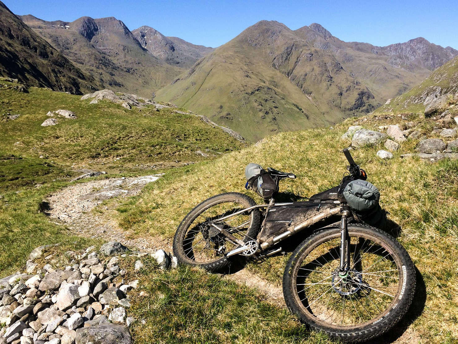
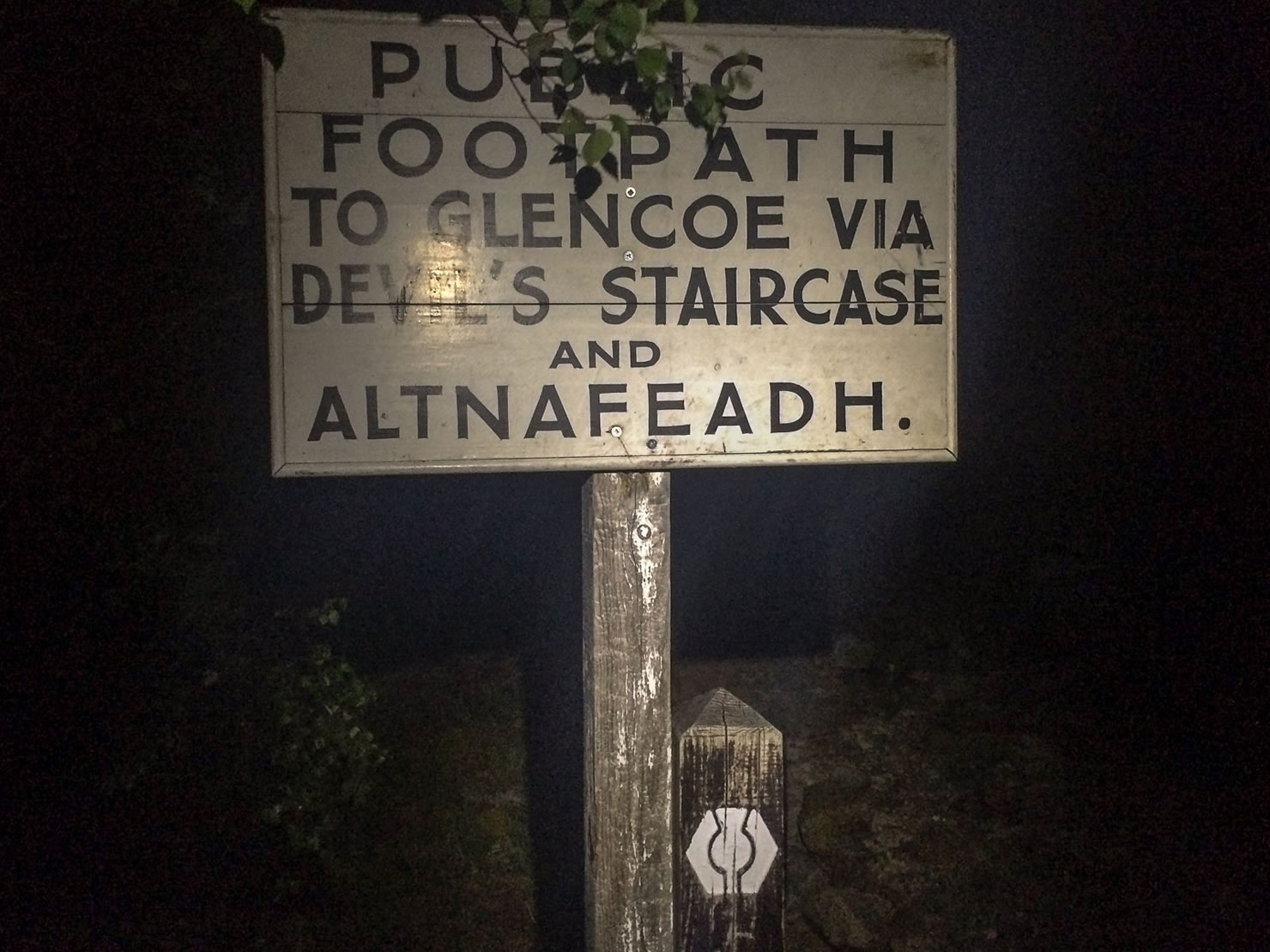
There are some long hike-a-bike sections worth considering, notably the rugged stretch around Suilven, the series of climbs through the picturesque Fisherfield Forest, a tough push up Glen Affric and the final hike up the Devil’s Staircase. These efforts are not without reward; the most difficult sections yielding the most impressive scenery, especially if you are fortunate enough to have the lovely clear skies we experienced on the HT550 2016.
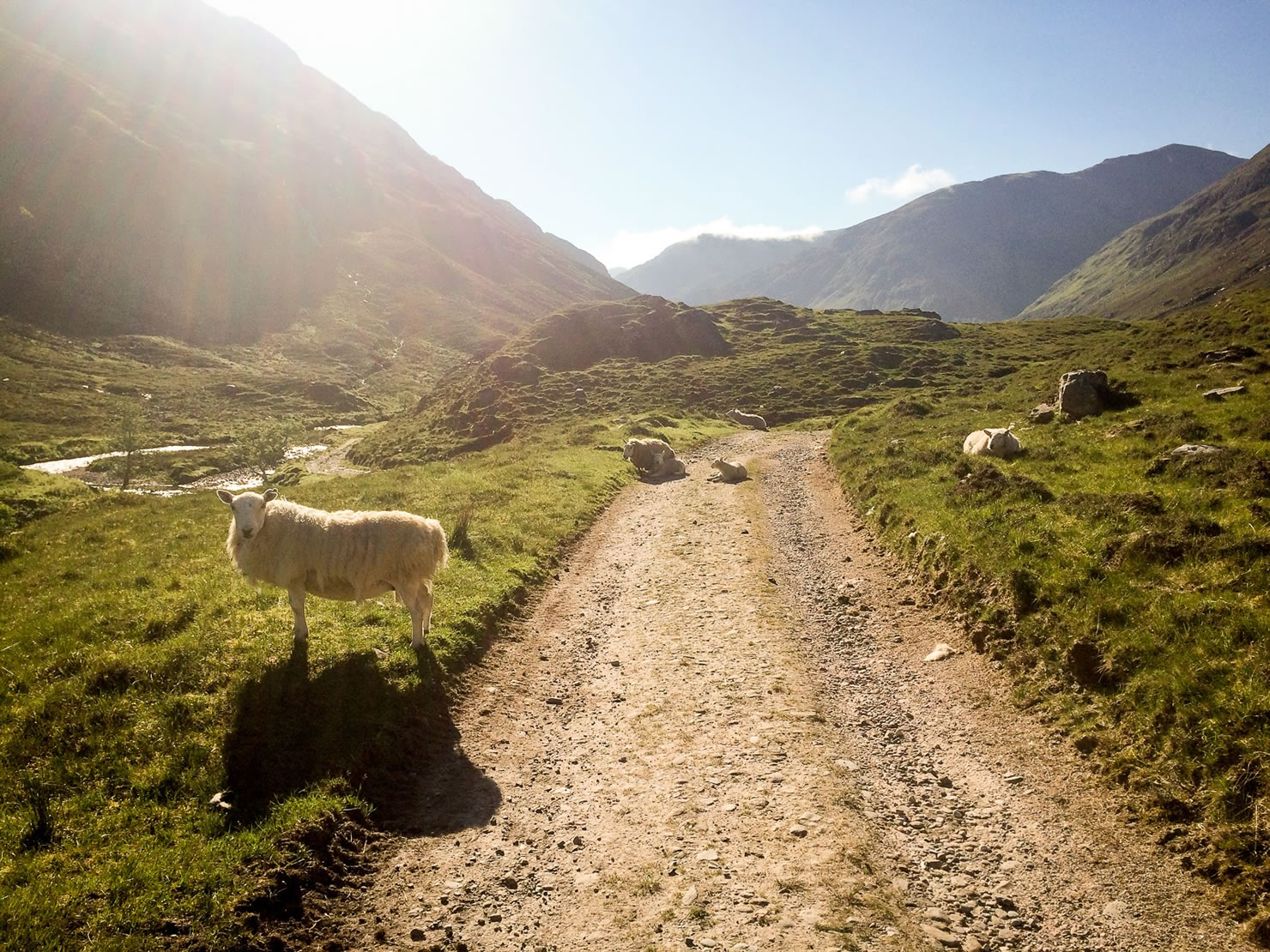
The food stops are excellent, but you will need to check opening hours and distances carefully. Your speed will vary dramatically depending on the terrain, so be sure to pack extra food going into the more remote sections. The weather is highly unpredictable, with potential for horizontal dagger rain and blissful sunshine on the same day.


Submit Route Alert
As the leading creator and publisher of bikepacking routes, BIKEPACKING.com endeavors to maintain, improve, and advocate for our growing network of bikepacking routes all over the world. As such, our editorial team, route creators, and Route Stewards serve as mediators for route improvements and opportunities for connectivity, conservation, and community growth around these routes. To facilitate these efforts, we rely on our Bikepacking Collective and the greater bikepacking community to call attention to critical issues and opportunities that are discovered while riding these routes. If you have a vital issue or opportunity regarding this route that pertains to one of the subjects below, please let us know:
Highlights
Must Know
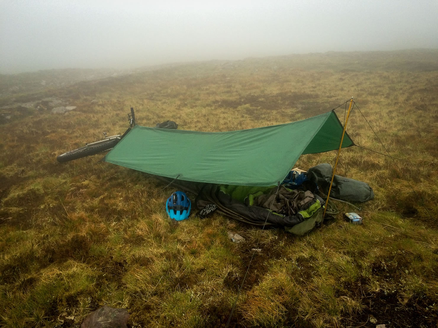
Camping
Food/H2O
Trail Notes
Resources
- The 10 mile Ben Alder singletrack is a sublime bit of trail riding
- The bleak yet stunning Northern Loop is a quintessential example of the Northern Highlands landscape
- Fisherfield Forest, a great wilderness in the deepest corner of the Highlands between Loch Maree and Little Loch Broom, void of civilisation for miles in all directions.
- The technical slick-rock singletrack Achnashellach descent, especially as the sun is going down
- The waterfalls and spiky peaks surrounding the Glen Affric section
- Some fast and flowing singletrack after the Glen Nevis climb
- A white knuckle descent after the push up the Devil’s Staircase
- The ScotRail service from Glasgow to Tyndrum Lower is frequent and bike friendly. The Tyndrum Lower station is a stone’s throw from the popular By The Way hostel and campsite.
- The red deer stalking season runs from 1 July to 15 February, so it is not recommended to ride through the Estates during this time. You must check with the Estates if you are considering riding within these dates.
- The Highlands are notorious for demonstrating all four seasons in one day, so be prepared for sun, snow, wind, rain and everything in between.
- The Highland Trail is best approached between May-June. There are some sections which will be overgrown or covered in snow at other times of the year.
- Whilst footpaths are generally off limits to bikes in England and Wales, bikes are widely accepted on all kinds of trails throughout the Highlands.
- The opening hours for supermarkets and shops are limited in the Highlands. The pubs generally open in the evenings for dinner.
- The best repellent for midges is to cover up and wear a midge net. The sprays are mildly effective at best.
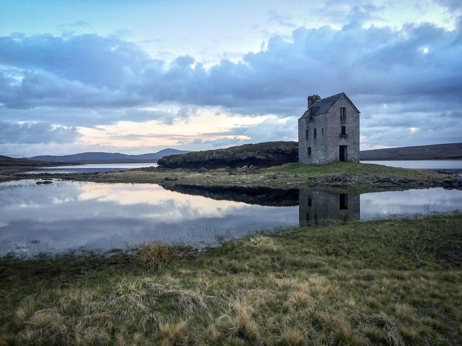
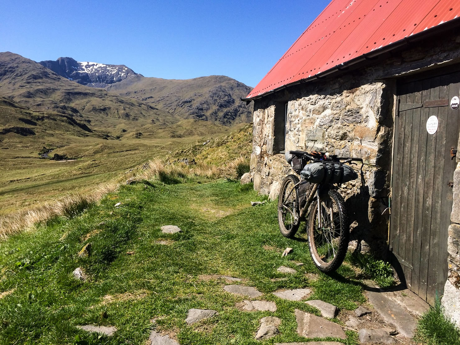
- The mountain bothies are a fantastic resource throughout the Highlands, especially when the weather goes sour. See the bothies marked on the GPX map.
- Wild camping is easy and popular throughout the Highlands. A sunny day will draw out lots of campers.
- The pay campsites marked on the GPX provide a good opportunity for showers and recharging gadgets.
- The YHA Hostel in Ullapool has dedicated bike storage and a well equipped kitchen
- Glorious Scottish spring water is plentiful throughout the Highlands. According to the locals, filtering/purification is not strictly required if you collect water from fast running streams.
- The first major resupply point is Fort Augustus, around 100 miles into the route where you’ll find restaurants and a small supermarket.
- Contin Stores is another essential stop before embarking on the remote Northern Loop.
- Drumbeg Stores have an excellent deli counter and the owners are especially friendly to Highland Trail riders.
- Don’t miss the world famous variety of Scottish pies at the Lochinver Larder. You can enjoy a sit down meal and also pack some extra pies for the trail.
- You can expect large dinner portions at the Oykel Bridge Hotel; if you’re lucky, you can eat here twice as the Northern Loop also returns through this point on the way back.
- The Tesco supermarket in Ullapool has the longest opening hours of all the stops on the route and is a critical stop before heading into the remoteness of Dundonnell and Fisherfield.
- The Whistlestop Cafe in Kinlochewe provides a much needed reward after the tough terrain over the Tollie Path from Poolewe
- Scottish breakfast at the Real Food Cafe in Tyndrum; this is essential grub for the start and finish
- This route is formed from select sections of various trails and backroads. It is not marked and would be difficult to follow without a GPS. If you plan to use paper maps, you’d better have good navigational skills and plenty of food.
- There are some hike-a-bike sections requiring careful considered with regards to the resupply points. In particular, the Northern loop, Fisherfield, Glen Affric and the final stretch over the Devil’s Staircase.
Additional Resources
- highlandtrail.net – the official webpage for the Highland Trail 550 event
- mountainbothies.org.uk – home of the Mountain Bothies Association
- smidgeup.com/midge-forecast – check the map for the latest midge forecast


Terms of Use: As with each bikepacking route guide published on BIKEPACKING.com, should you choose to cycle this route, do so at your own risk. Prior to setting out check current local weather, conditions, and land/road closures. While riding, obey all public and private land use restrictions and rules, carry proper safety and navigational equipment, and of course, follow the #leavenotrace guidelines. The information found herein is simply a planning resource to be used as a point of inspiration in conjunction with your own due-diligence. In spite of the fact that this route, associated GPS track (GPX and maps), and all route guidelines were prepared under diligent research by the specified contributor and/or contributors, the accuracy of such and judgement of the author is not guaranteed. BIKEPACKING.com LLC, its partners, associates, and contributors are in no way liable for personal injury, damage to personal property, or any other such situation that might happen to individual riders cycling or following this route.
Please keep the conversation civil, constructive, and inclusive, or your comment will be removed.