


Grand Staircase Loop
Distance
160 Mi.
(257 KM)Days
3-4
% Unpaved
98%
% Singletrack
0%
% Rideable (time)
98%
Total Ascent
11,930'
(3,636 M)High Point
7,531'
(2,295 M)Difficulty (1-10)
6?
- 5Climbing Scale Moderate75 FT/MI (14 M/KM)
- -Technical Difficulty
- -Physical Demand
- -Resupply & Logistics
Contributed By

Jamie Mefford
Guest Contributor
When not touring the world with bands as a front of house engineer or hiding out in the recording studio making records. Jamie tries to find the time to get out on a bike and ride quiet dirt roads and trails. Trips have included The Baja Divide, Colorado trail and various excursions around the Colorado Plateau, Peru, Mexico and Guatemala. Follow Jamie on Instagram @jamiemefford.
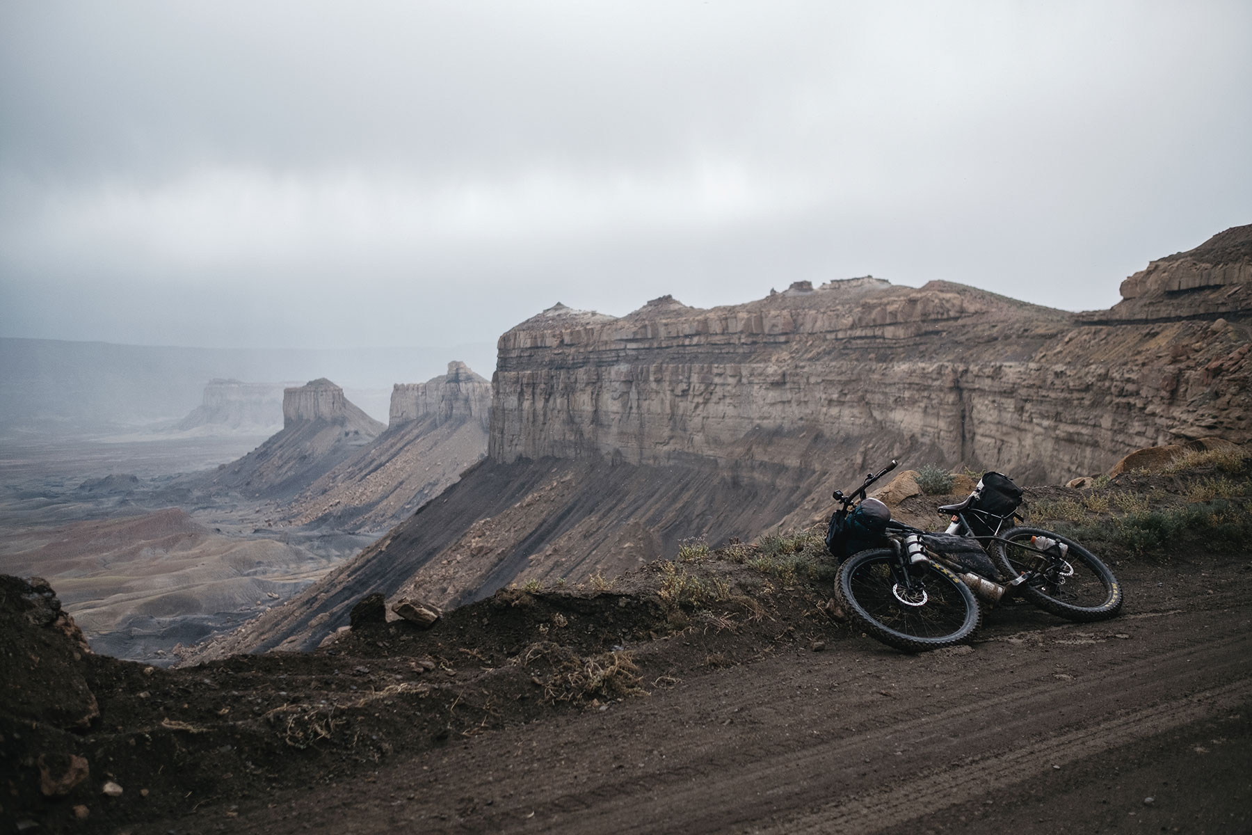
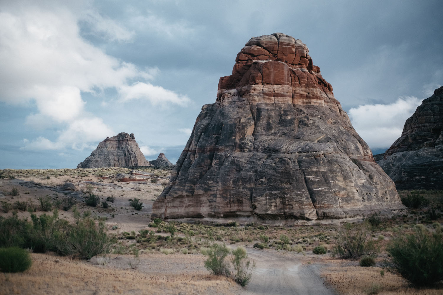
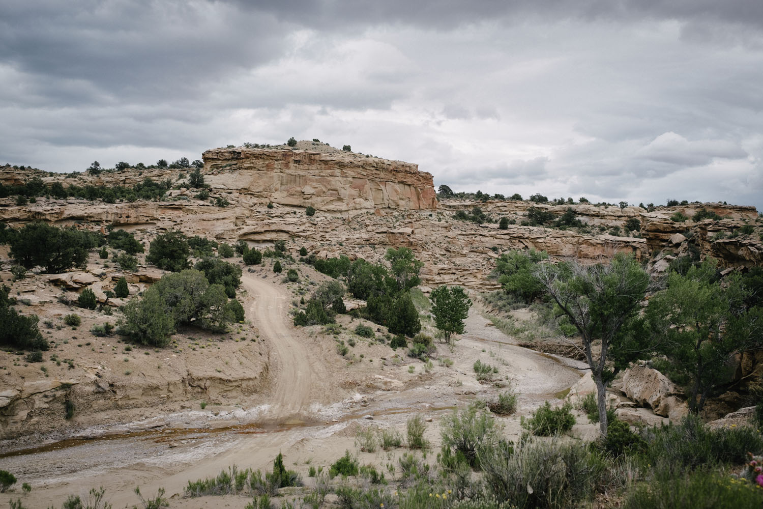
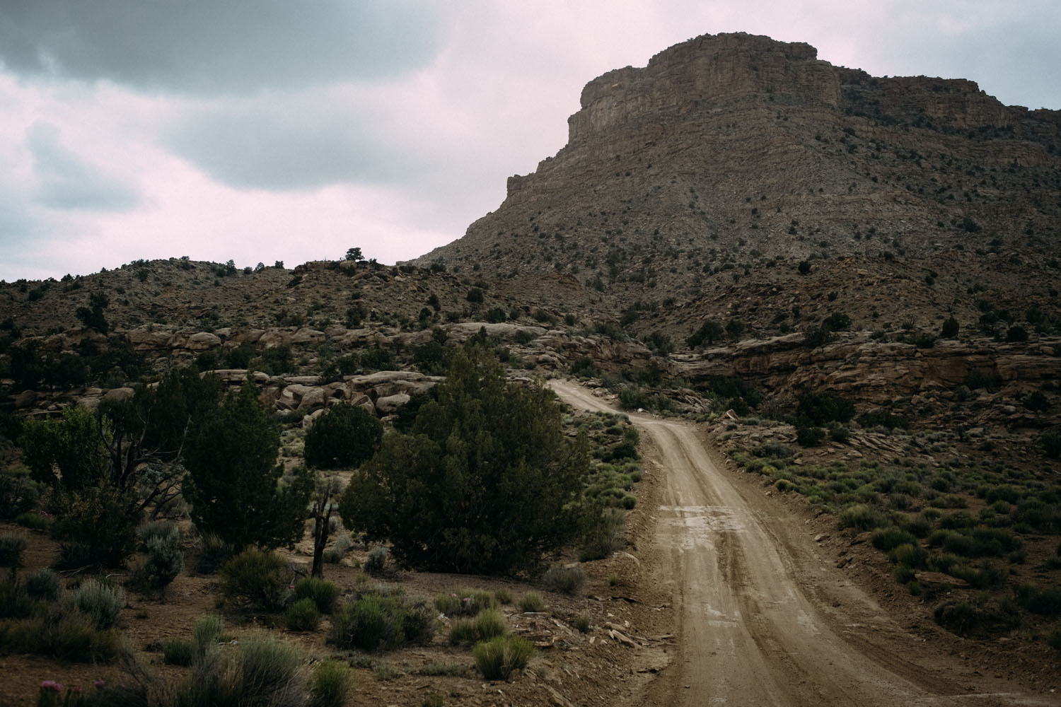
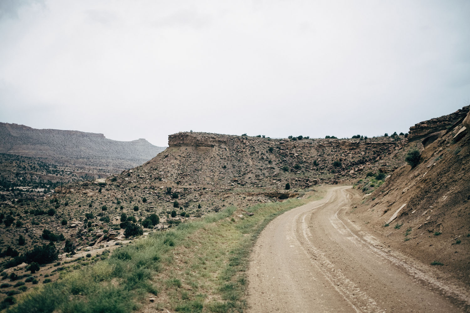
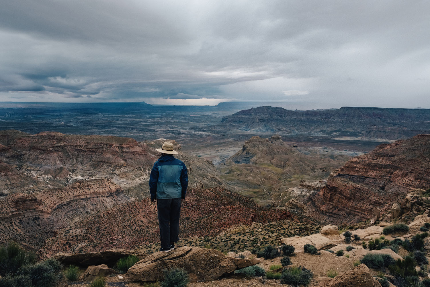
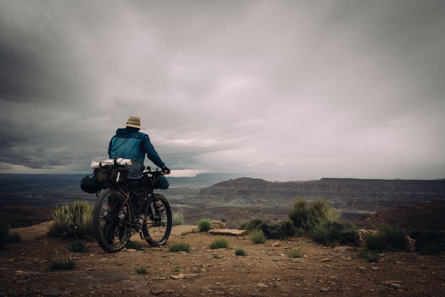
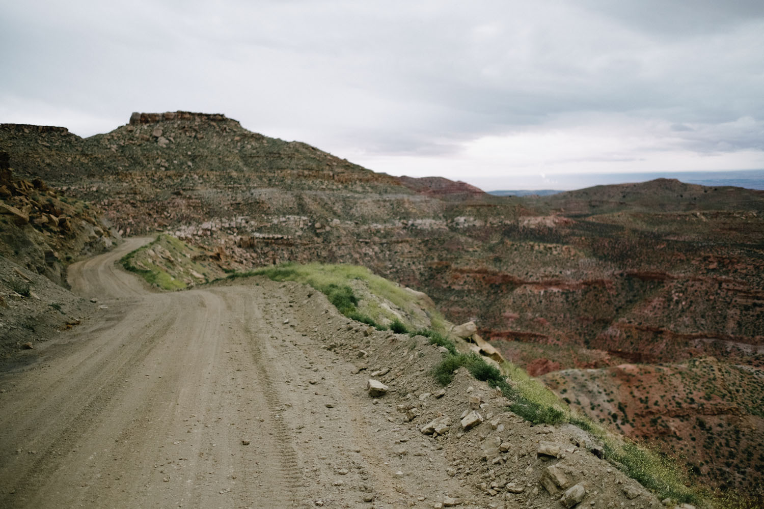
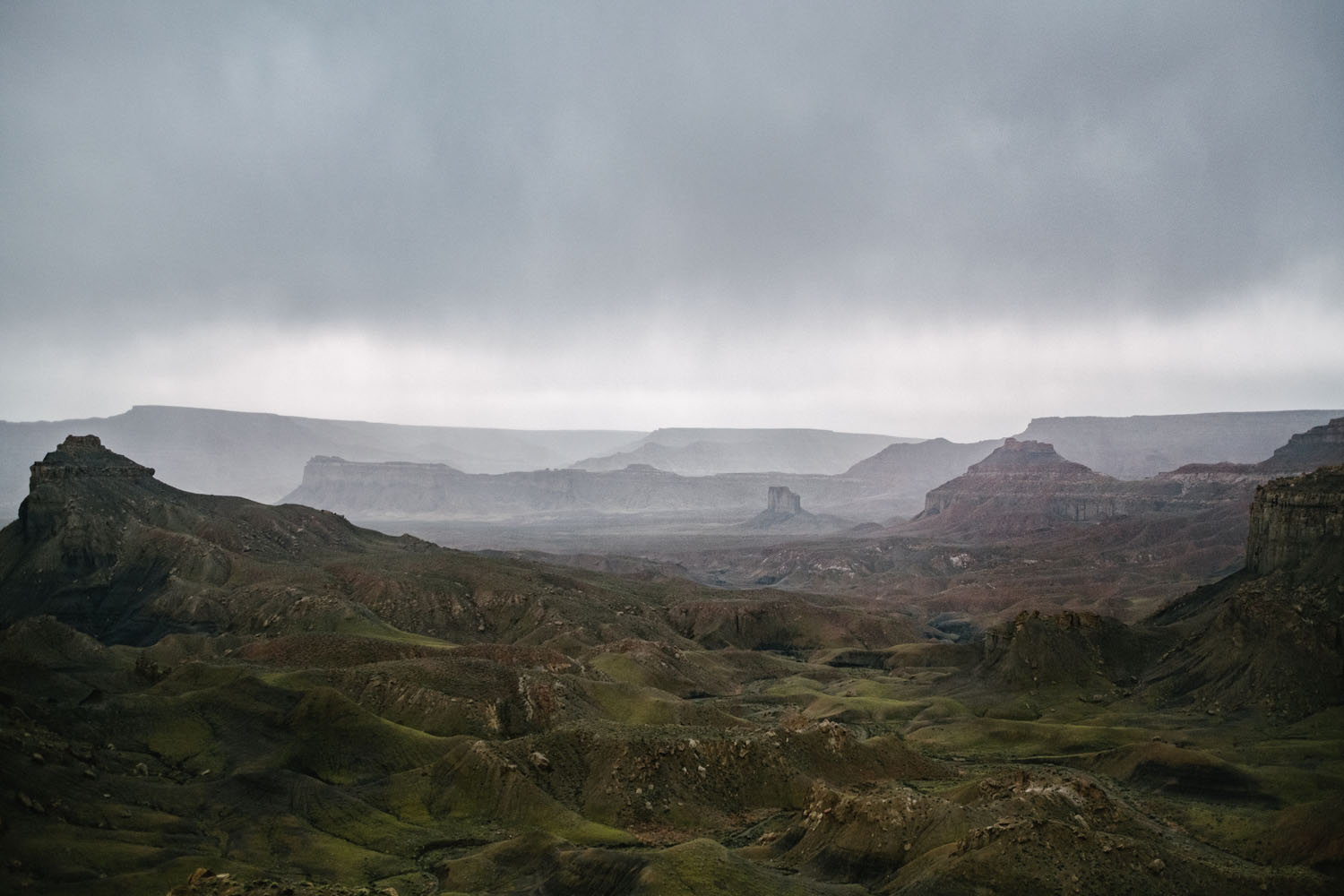
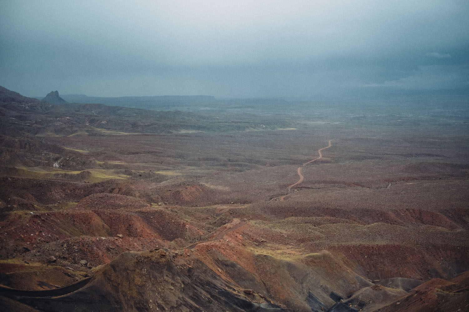
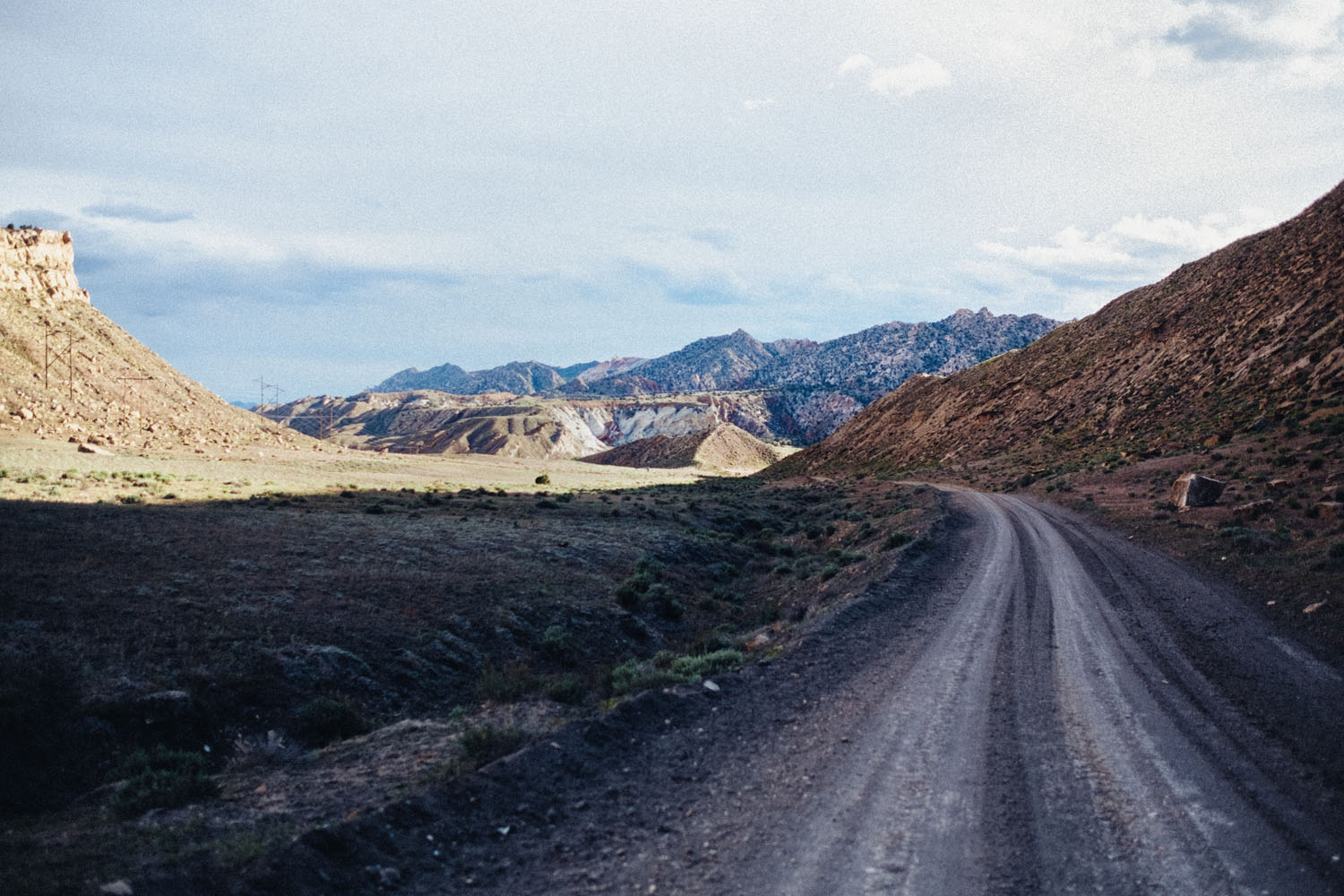
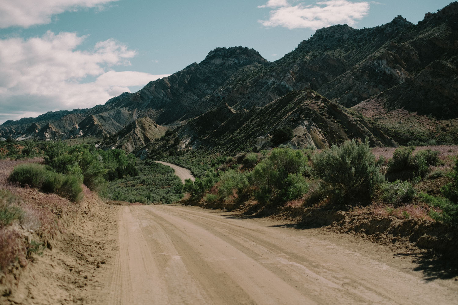
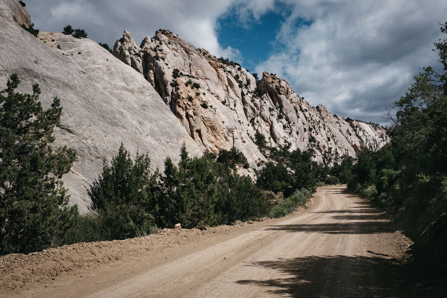
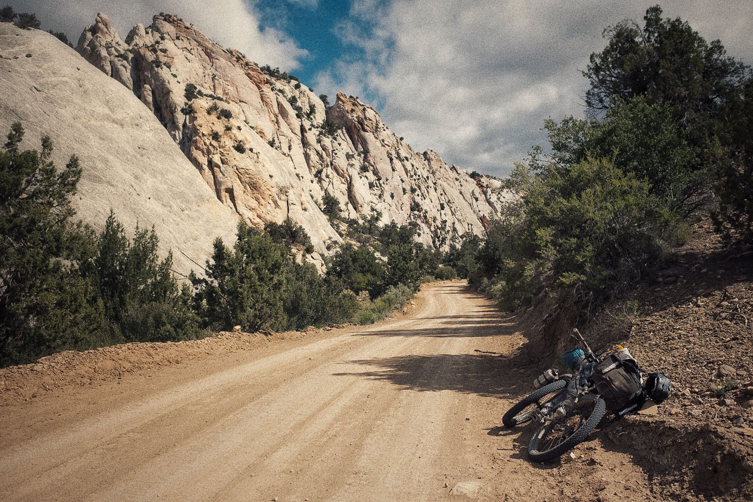
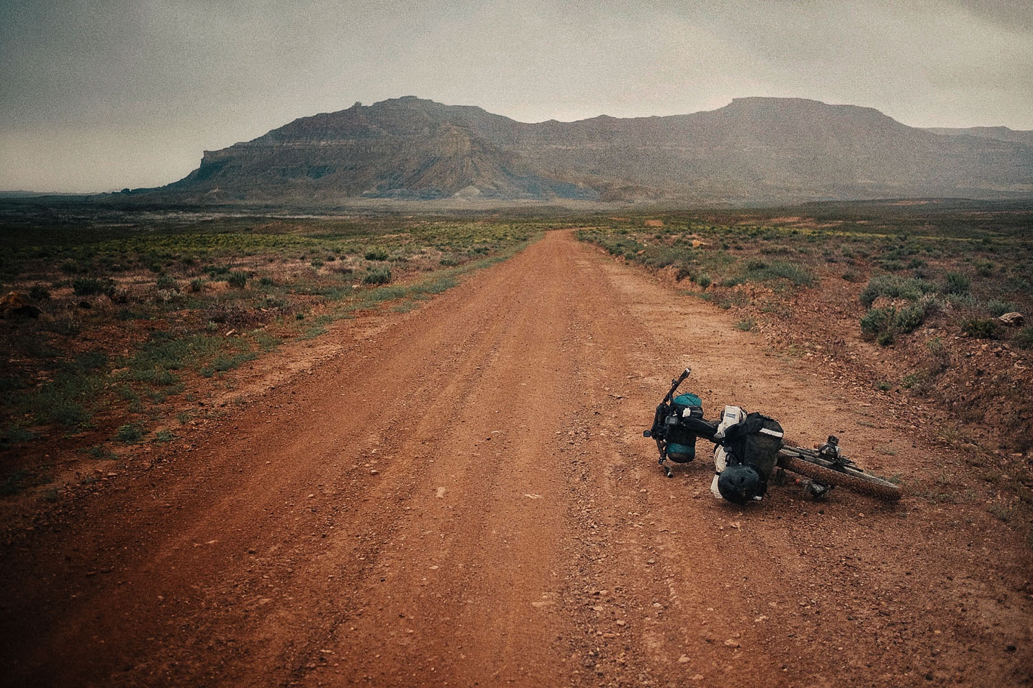
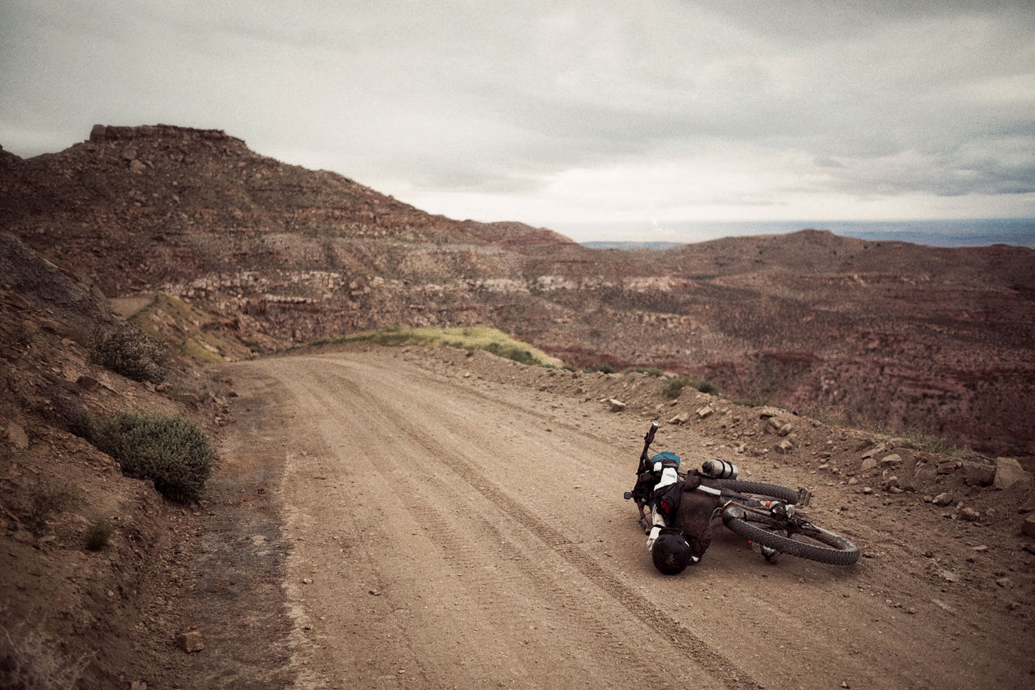
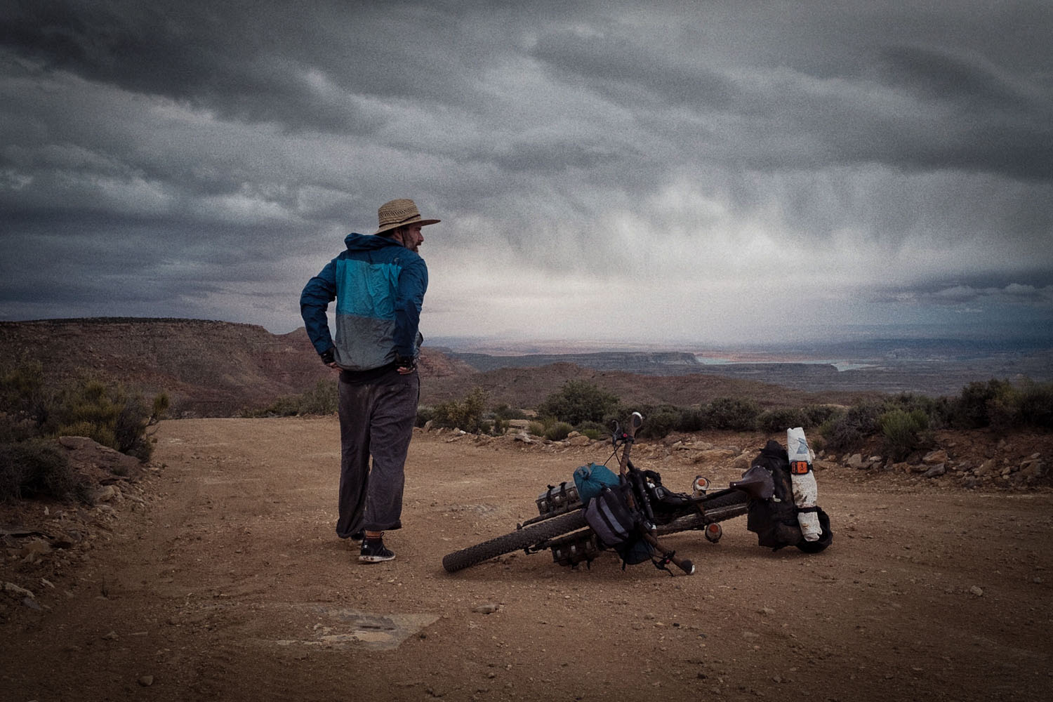
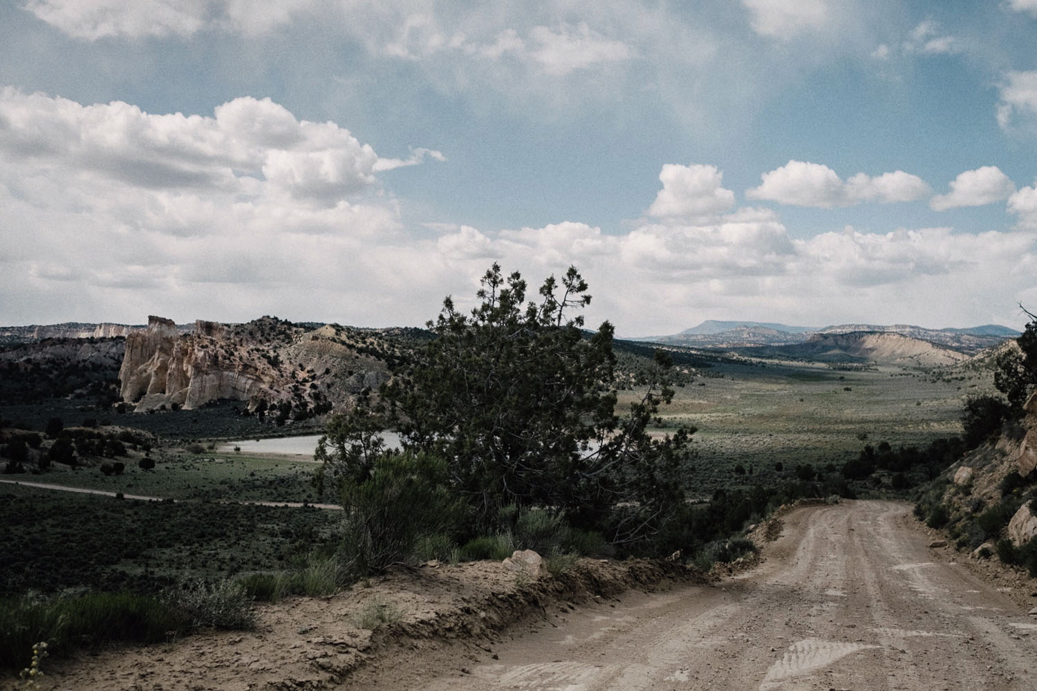
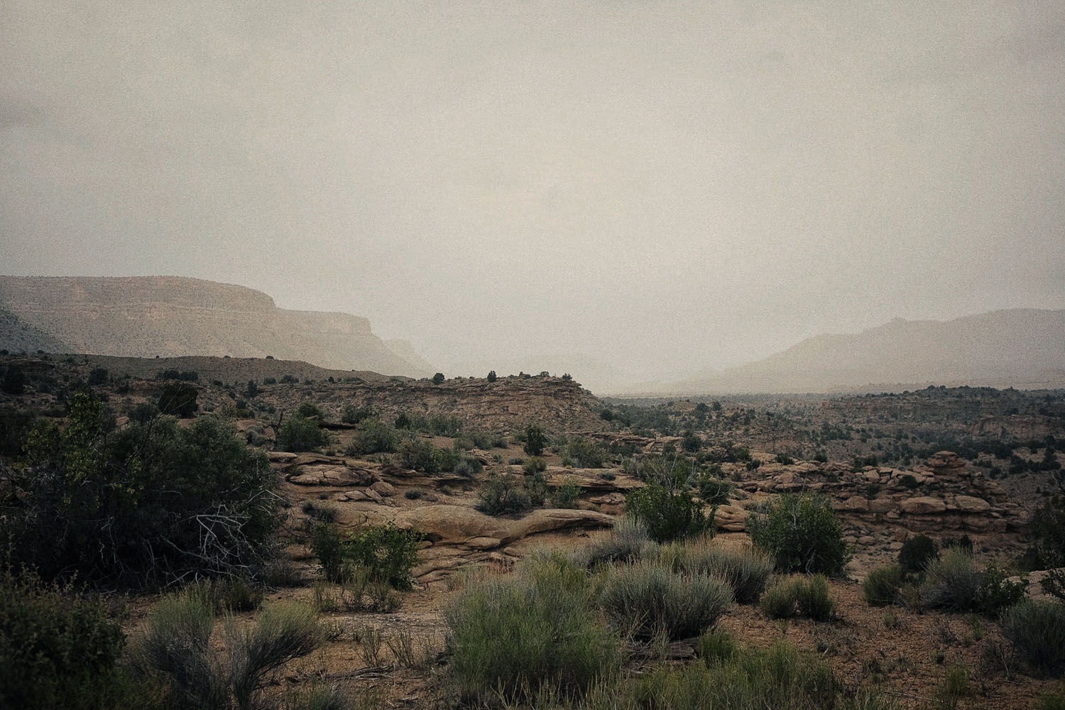
To showcase some of the most iconic and beautiful canyon country in southern Utah, the route passes through Grand Staircase-Escalante National monument and dips into Glen Canyon National Recreation Area. A small section on BLM land completes the southern part of the loop. Gently climbing to 7,600 feet and dropping to 3,600 feet, the route travels from the top of Smokey Mountain Road (BLM 300) down to Lake Powell — twisting its way through sandstone cliffs and awe inspiring views of the towering rock monuments below. Through its many climbs and descents, the route passes through several of the sandstone layers that comprise the Colorado Plateau. Each layer tells the story of the its Precambrian and Paleozoic history — a geologic story that spans almost 2 billion years.
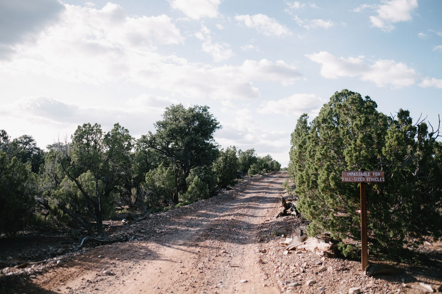
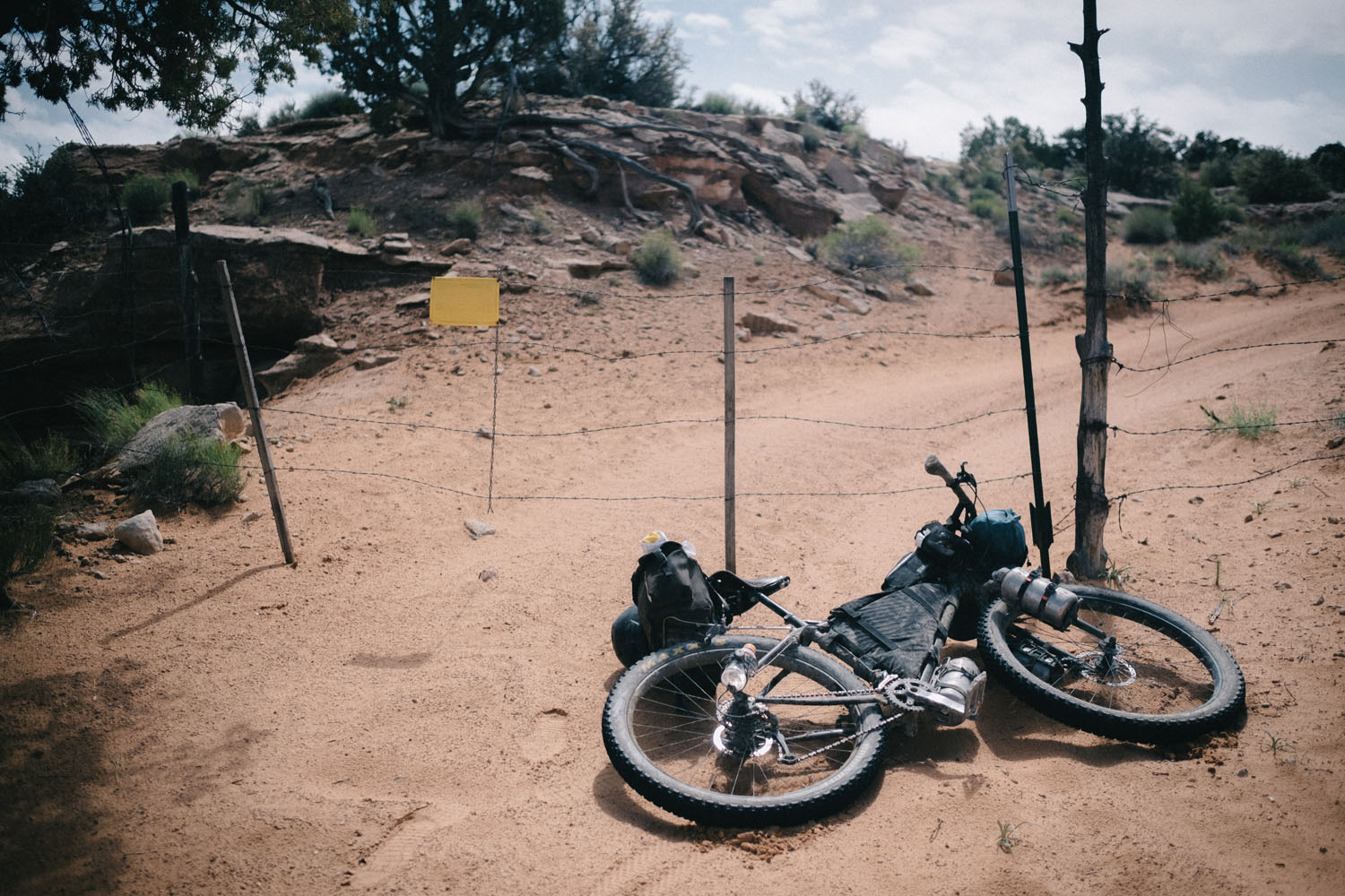
The loop can be started from the North or South depending on which direction you are coming from. But, regardless of your origin, it is highly recommended that the route be travelled clockwise. Thanks to a small section of road that isn’t accessible by car or truck, this loop can only be completed on two wheels. Backcountry camping is possible on almost any section of the route and the roads are mostly free of traffic. The 40 mile section of Cottonwood Canyon Road contains the most vehicular traffic at a rate of a few cars per hour.
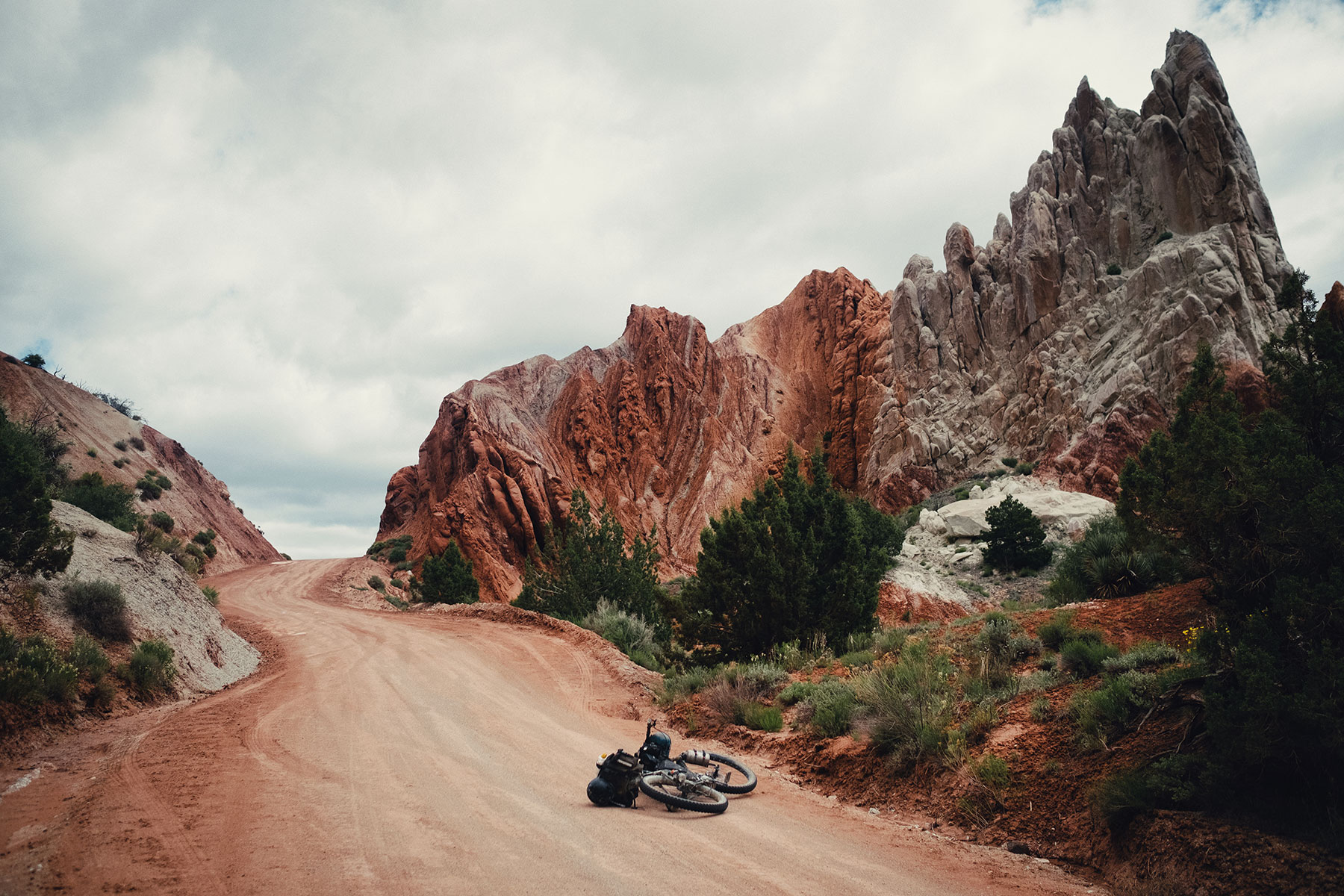
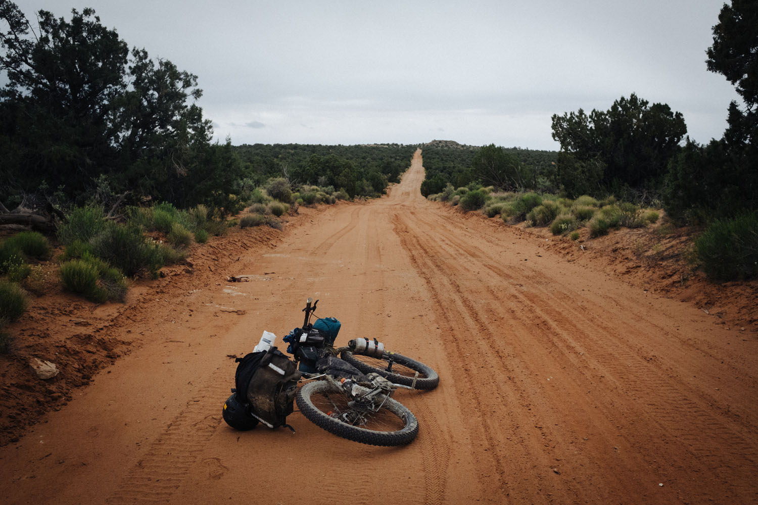
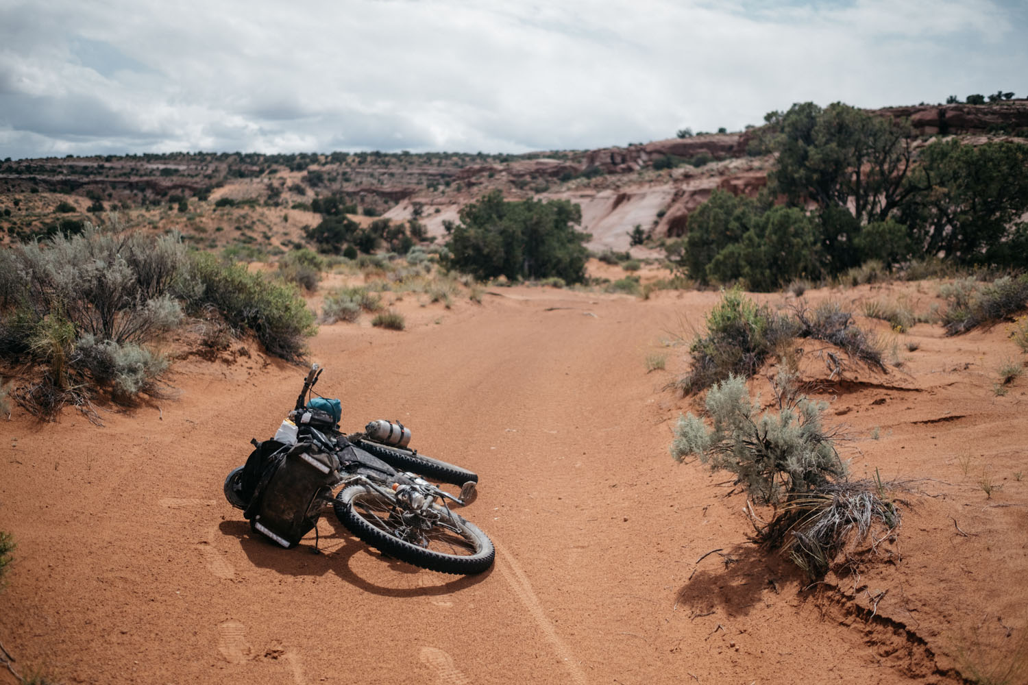
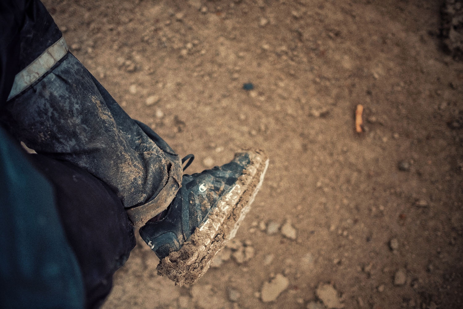
Difficulty: The route travels almost entirely on dirt roads and is 98% ridable with generally intermediate and sustained climbs, containing just a few steep spots that might necessitate a push. Some stretches can be a bit sandy, so plus size tires are preferred but not necessary. Be forewarned that sections of the road are composed of gray bentonite clay which is IMPASSABLE when wet. In rainy conditions it will stick and cling to anything it comes in contact with, forming giant clumps of concrete like mud that gather on your shoes, tires and drivetrain. Riding a bike becomes impossible and even walking can prove extremely difficult. In the warmer months this route can be extremely hot and very committing with long distances between unpredictable water sources. For that, it is certainly not a beginner route and we’ve upgraded it to a 6/10.


Submit Route Alert
As the leading creator and publisher of bikepacking routes, BIKEPACKING.com endeavors to maintain, improve, and advocate for our growing network of bikepacking routes all over the world. As such, our editorial team, route creators, and Route Stewards serve as mediators for route improvements and opportunities for connectivity, conservation, and community growth around these routes. To facilitate these efforts, we rely on our Bikepacking Collective and the greater bikepacking community to call attention to critical issues and opportunities that are discovered while riding these routes. If you have a vital issue or opportunity regarding this route that pertains to one of the subjects below, please let us know:
Highlights
Must Know
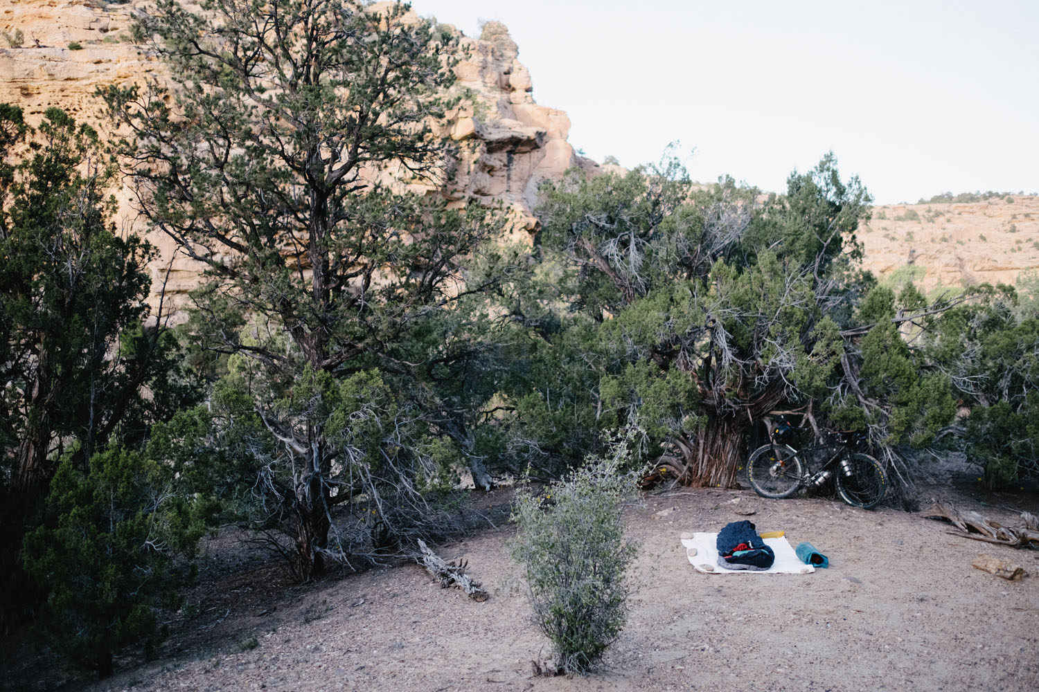
Camping
Food/H2O
Resources
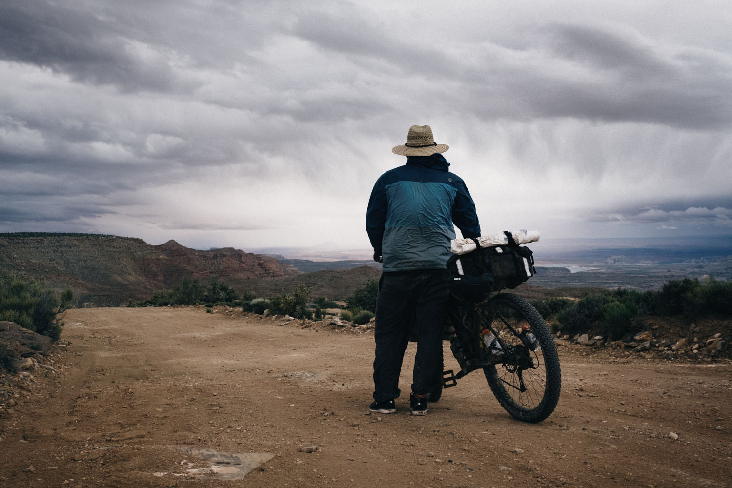
- The section of Smokey Mountain Road that drops from the top of the mesa down to Lake Powell is truly stunning. The view is top notch as the road snakes its way down the sandstone cliffs into the valley of monuments below.
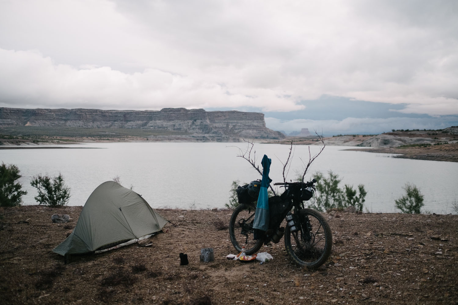
- Camping on Lake Powell for the night is a short side trip; the shore is wide open and you can camp anywhere you find a spot. Aside from being a nice place to spend the night, it’s a great place to take a swim on a hot day.
- The route passes the Grosvenors Arch, which is a unique double sandstone arch
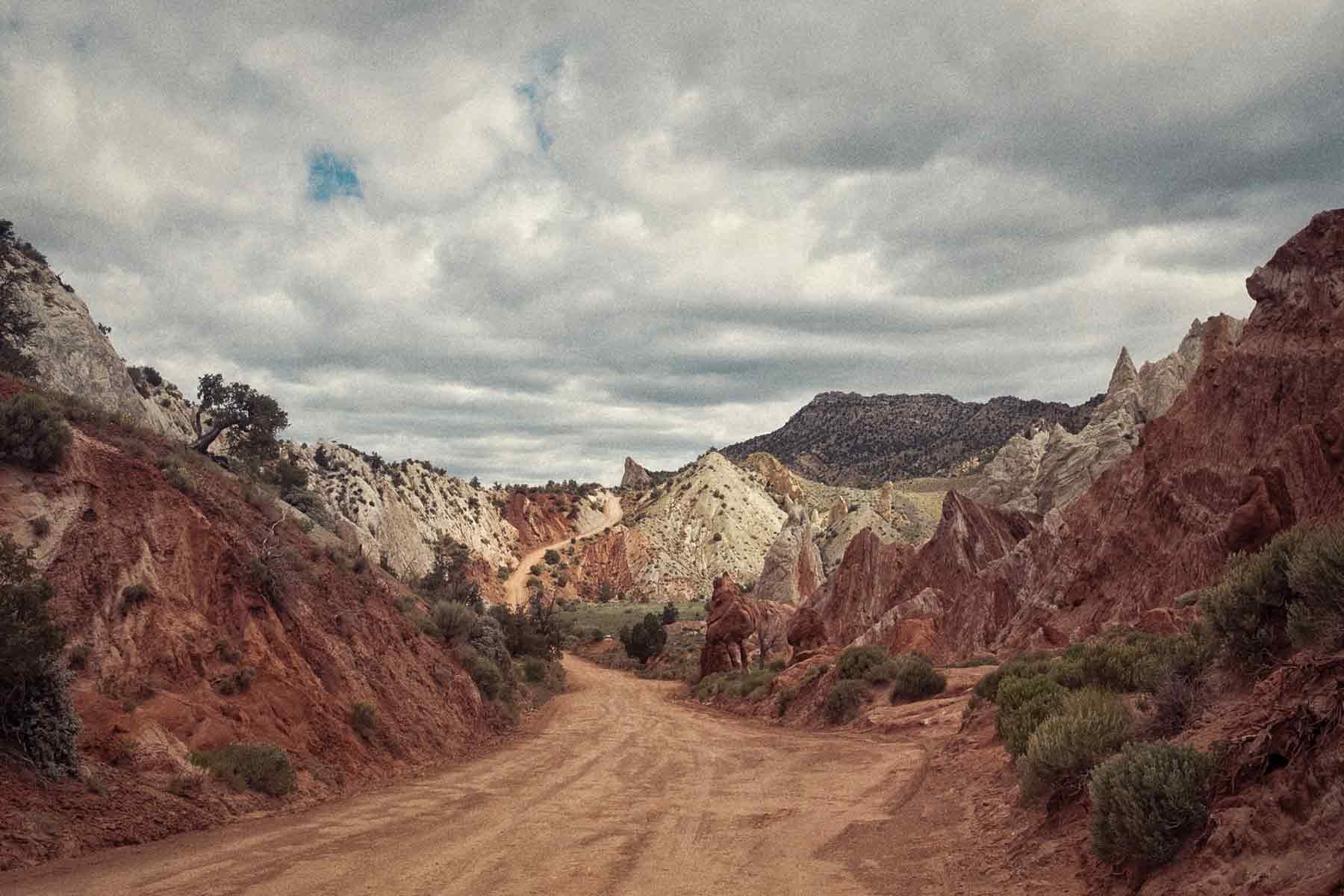
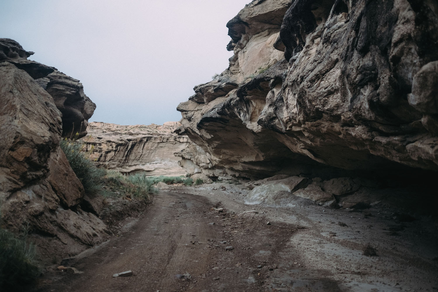
- The section from Grosvenors Arch to Smokey Mountain Road follows very lightly traveled roads and a section that gets a bit rougher and is only accessible on two wheels.
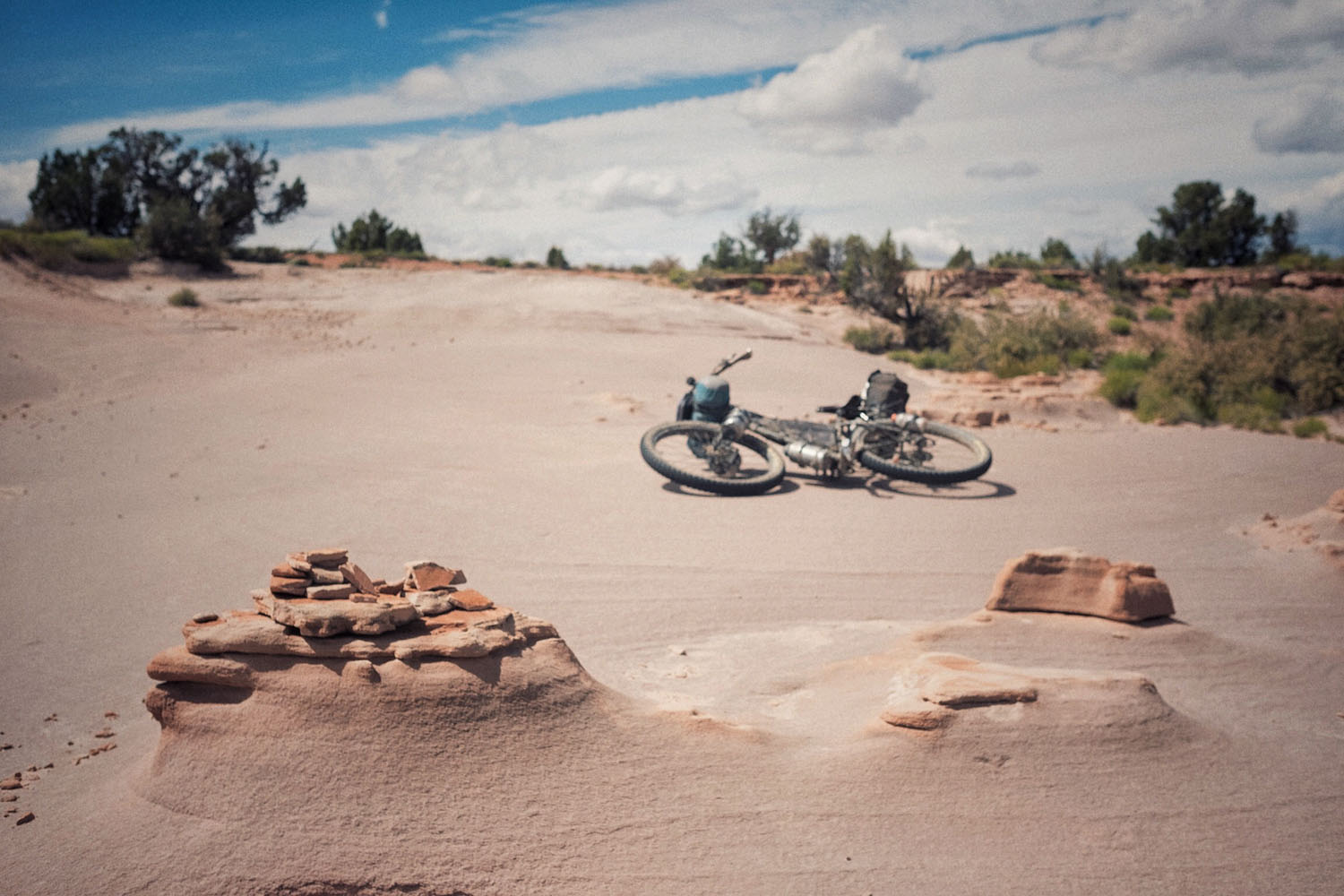
- As a side trip, Cottonwood Narrows is half way up the Cottrronwood Canyon RoadD in an area known as Candyland. It’s a short hike into some gorgeous sandstone slot canyons.
- There is a small resupply 1/2 mile off route in the town of Big Water, UT. It is a quick ride down the main highway to the boatyard/gas station just off the RD.
- Early Spring and late Fall are the best times to ride the route. Upper elevations are extremely cold in the Winter and the lower elevations are very hot in the summer.
- We don’t recommend attempting this route in summer (May thru August). Recent unexpectedly high temperatures, even at the end of April are resulting in higher temps that will make the route even more difficult, and water sources even more critical. Higher heat + less reliable water = a thin margin for error.
- While we state that the route is 98% rideable, as always, this is entirely dependent on conditions, type of bike and/or tires, rider fitness, experience, etc. There are a few steep and loose climbs.
- Free permits are required for the Monument; They can be obtained at any Visitor Center (Escalante, Cannonville, Kanab, Big Water). Self register boxes are also available throughout the monument at “developed” trailheads. They are indicated on our visitor use map available at VCs. These permits serve an important function: they give the park service data about patterns of use and volume of use; they also provide emergency contact information in case family/friends call about missing hikers/cyclists; Leave No Trace guidelines are printed on the back of the permit as well.
- Obtaining a permit in person will help riders be better prepared (road conditions, weather, etc.). The park has few self-register trailheads along the route.
- The route crosses sections of gray bentonite clay. With enough rain, it becomes extremely sticky, making it impossible to ride and very difficult to even walk the bike. Riding into these sections under the threat of rain is NOT RECOMMENDED. If this happens, be prepared for a muddy night of camping.
- The loop can be started and finished at any point along its length. If coming in from the North it’s recommended to access the loop from Cannonville and park near Grosvenors Arch, as these dirt roads are the most drivable. If coming in from the South, it’s recommended to start around Big Water, UT where the route is accessible from paved roads.
- It is highly recommended that the route be travelled clockwise.
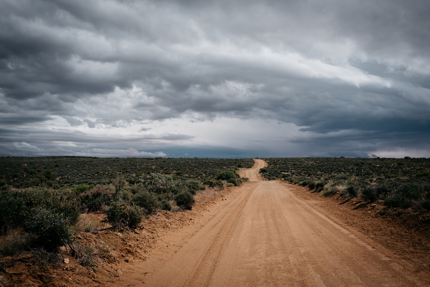
- This route travels through the high desert and, as such, there is the possibility of extreme weather conditions. The temperatures can dip below freezing on the lower end and reach well over 100°F on a hot day. Water can be scarce and flash flooding in the washes is possible.
- Parts of this route are rarely traveled and extremely remote. Be prepared!
- Bicycles are vehicles, and must stay on open roads. There was a recent comment that riders can shorten the route by riding through Last Chance canyon. However, Last Chance bisects Death Ridge Wilderness Study Area and riding that canyon is not allowed. Administrative routes are for access to range improvements only and are not open for public use.
- Cell phone service is unlikely to be available in this region, and shouldn’t be relied on. Satellite phones or SPOT devices are strongly recommended.
- Camping along the route is open to some backcountry camping, however, refer to GSENM camping guidelines and Leave No Trace principles. Camping at corrals and/or range improvements is not recommended as this keeps cattle from coming in to water. Camping a minimum of 300 feet is recommended near range improvements. All campers should camp at previously disturbed locations. Be sure to follow leave no trace guidelines and keep an eye out for Cryptobiotic soil.
- Aside from a few undeveloped drive-in sites along Cottonwood Rd, next to the creek, most of the camping is primitive.
- You may in most previously disturbed camping areas along the route, as long as it’s not an environmentally sensitive zone.
- There are a few very small sections of private land but they are well marked along the Cottonwood Rd section of the route.
- There is also a small motel available on route in the town of Big Water, UT.
- Water is available in a few sections of the route and shouldn’t pose a problem in the cooler months, as long as the proper planning is undertaken.
- Water sources might dry up! The cattle tank south of Grosvenor Arch will likely go dry, along with the surface water at Last Chance. BLM has no ability to tell riders where, or if, they will find water. This can be safety concern; do your homework!
- Be sure to carry enough water on the bike to accommodate the occasional dried up desert stream.
- Depending on the water level in Last Chance Creek, there may be little or no water for up to 100 miles between Grosvenor Arch and Lake Powell. For this section, you should be prepared and carry all that you will need.
- There is a well and a reservoir near Grosvenors Arch; seasonal water flows in Last Chance Canyon; Lake Powell is 3 miles off route and there is tap water available at the National Monument visitors center in Big Water, UT.
- Cottonwood Canyon Creek usually flows year round but it is best to ask about the current water conditions before leaving the visitors center in Cannonville or the town of Big Water.
- A small selection of food and drinks is available 1/2 mile off route, in the town of Big Water, UT, at the Gas Stations and Boat Yard.


Terms of Use: As with each bikepacking route guide published on BIKEPACKING.com, should you choose to cycle this route, do so at your own risk. Prior to setting out check current local weather, conditions, and land/road closures. While riding, obey all public and private land use restrictions and rules, carry proper safety and navigational equipment, and of course, follow the #leavenotrace guidelines. The information found herein is simply a planning resource to be used as a point of inspiration in conjunction with your own due-diligence. In spite of the fact that this route, associated GPS track (GPX and maps), and all route guidelines were prepared under diligent research by the specified contributor and/or contributors, the accuracy of such and judgement of the author is not guaranteed. BIKEPACKING.com LLC, its partners, associates, and contributors are in no way liable for personal injury, damage to personal property, or any other such situation that might happen to individual riders cycling or following this route.
Please keep the conversation civil, constructive, and inclusive, or your comment will be removed.