


Dirt Road Touring Peru: Cajamarca to Caraz
Distance
285 Mi.
(459 KM)Days
6
% Unpaved
75%
% Singletrack
0%
Total Ascent
36,630'
(11,165 M)High Point
13,746'
(4,190 M)Difficulty (1-10)
7?
- 8Climbing Scale Strenuous129 FT/MI (24 M/KM)
- -Technical Difficulty
- -Physical Demand
- -Resupply & Logistics
Contributed By
Joe Cruz
Contributing Editor
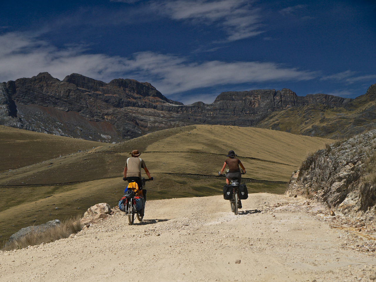
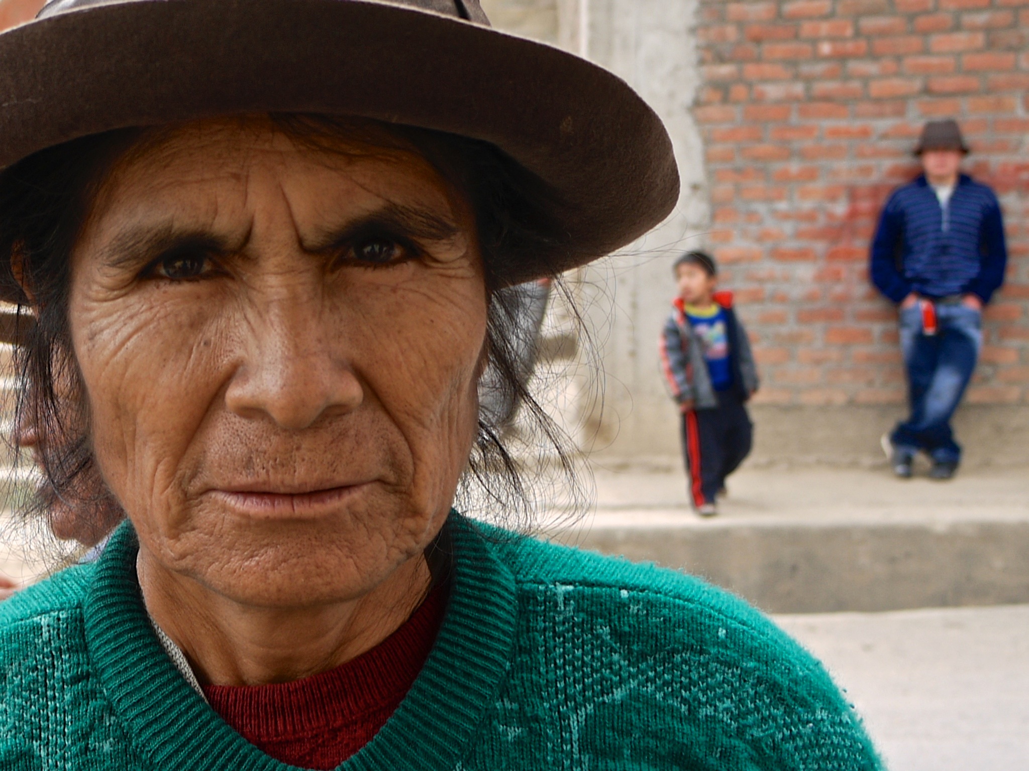
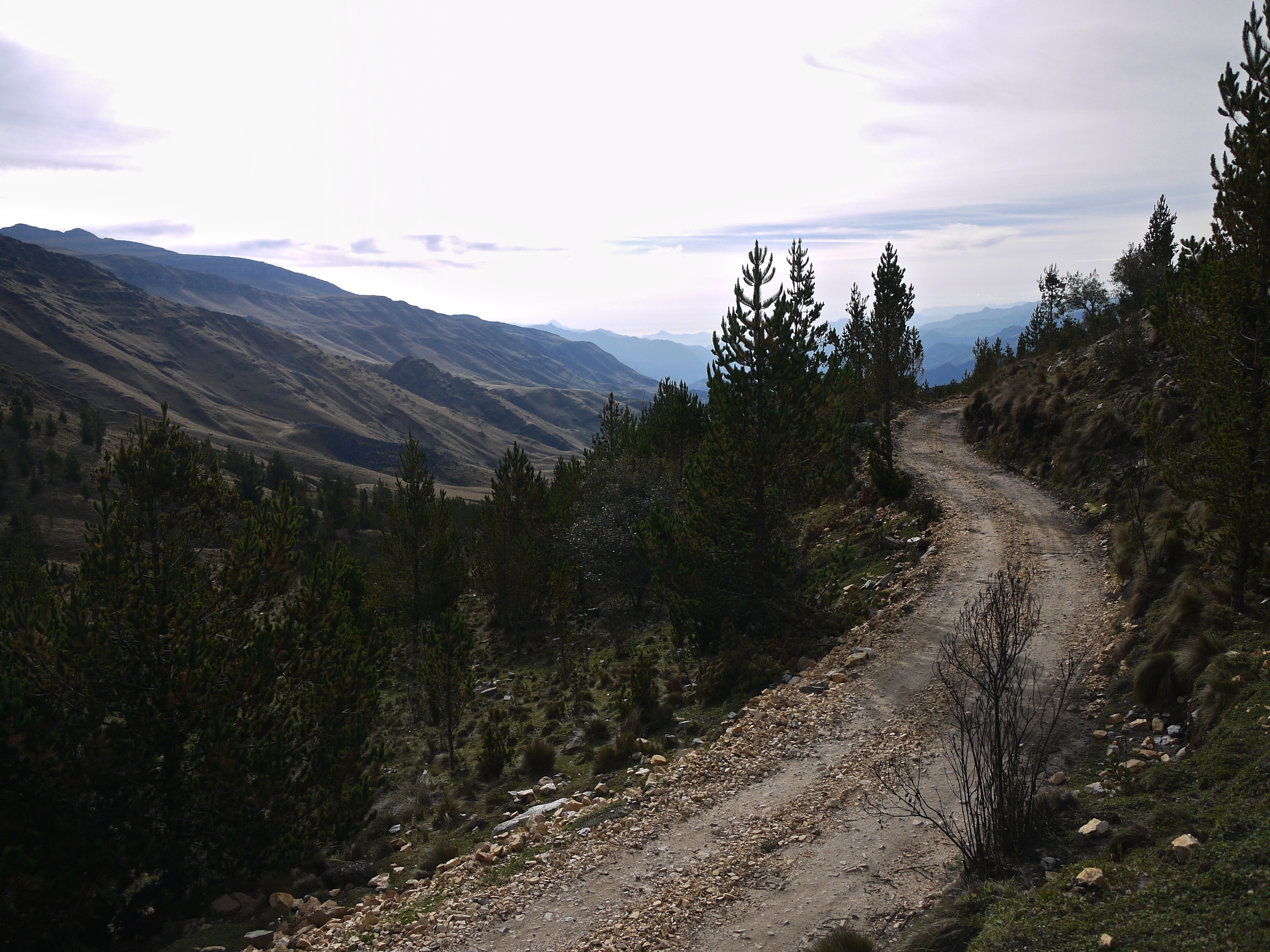
This is Peru, one of my favorite places to bikepack. Here is an up and down route that promises miles of dirt roads, canyons with river crossings, remote campsites, dust and loose rocks, boggling tunnels, and a towering peaks destination.
NOTE: This route was done in collaboration with Sarah Hedges and Tom Walwyn.


Submit Route Alert
As the leading creator and publisher of bikepacking routes, BIKEPACKING.com endeavors to maintain, improve, and advocate for our growing network of bikepacking routes all over the world. As such, our editorial team, route creators, and Route Stewards serve as mediators for route improvements and opportunities for connectivity, conservation, and community growth around these routes. To facilitate these efforts, we rely on our Bikepacking Collective and the greater bikepacking community to call attention to critical issues and opportunities that are discovered while riding these routes. If you have a vital issue or opportunity regarding this route that pertains to one of the subjects below, please let us know:
Highlights
Must Know
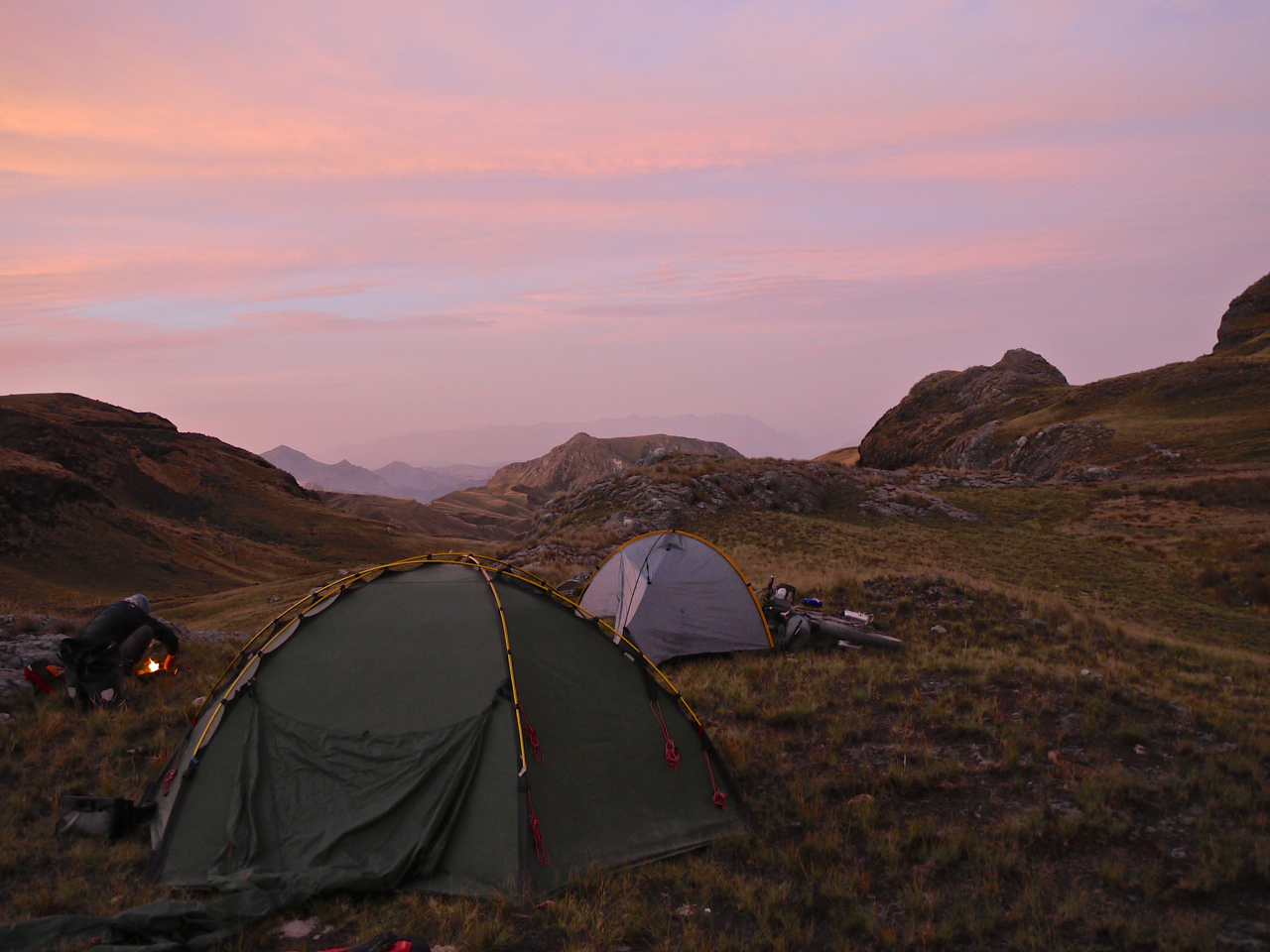
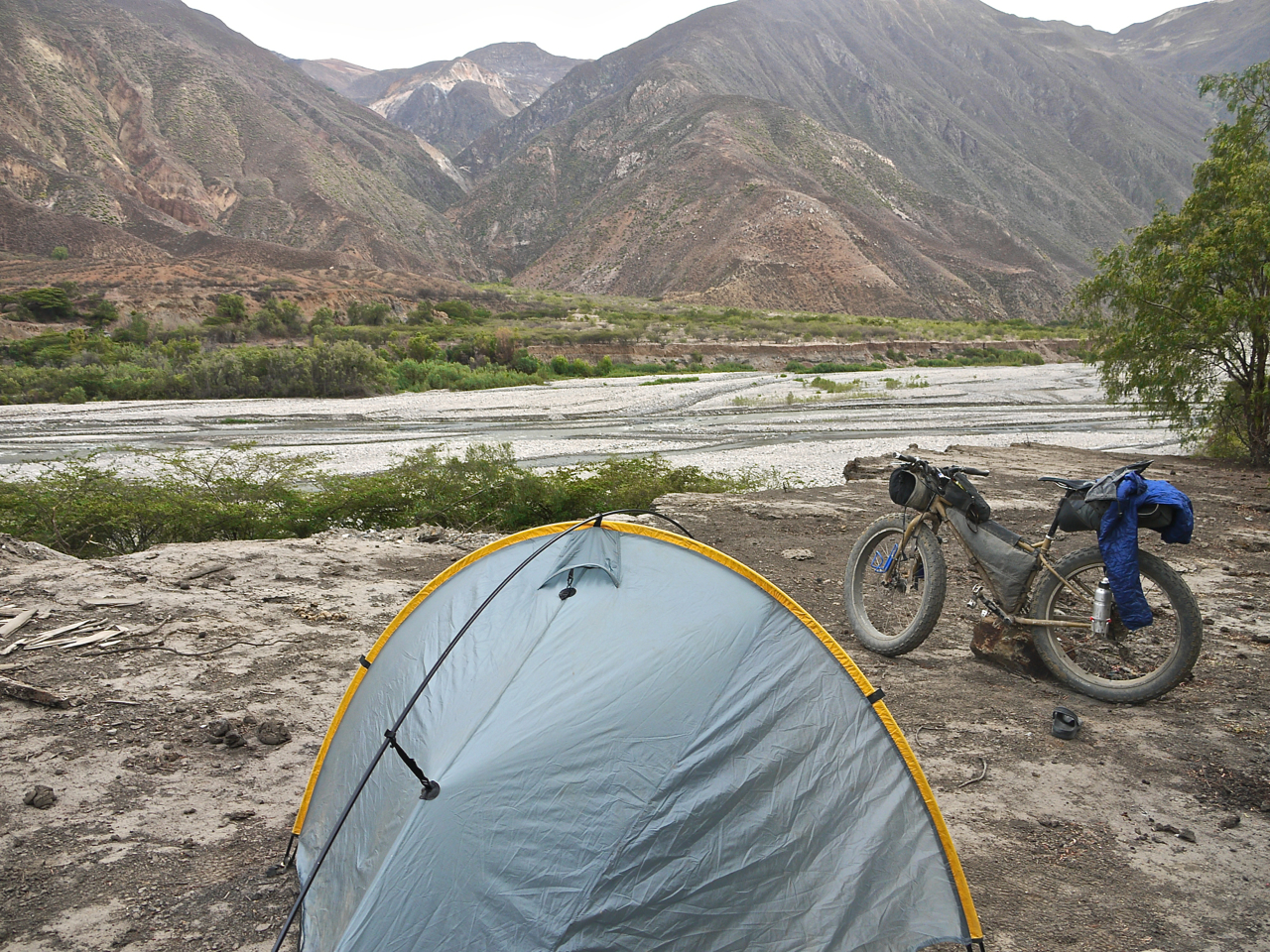
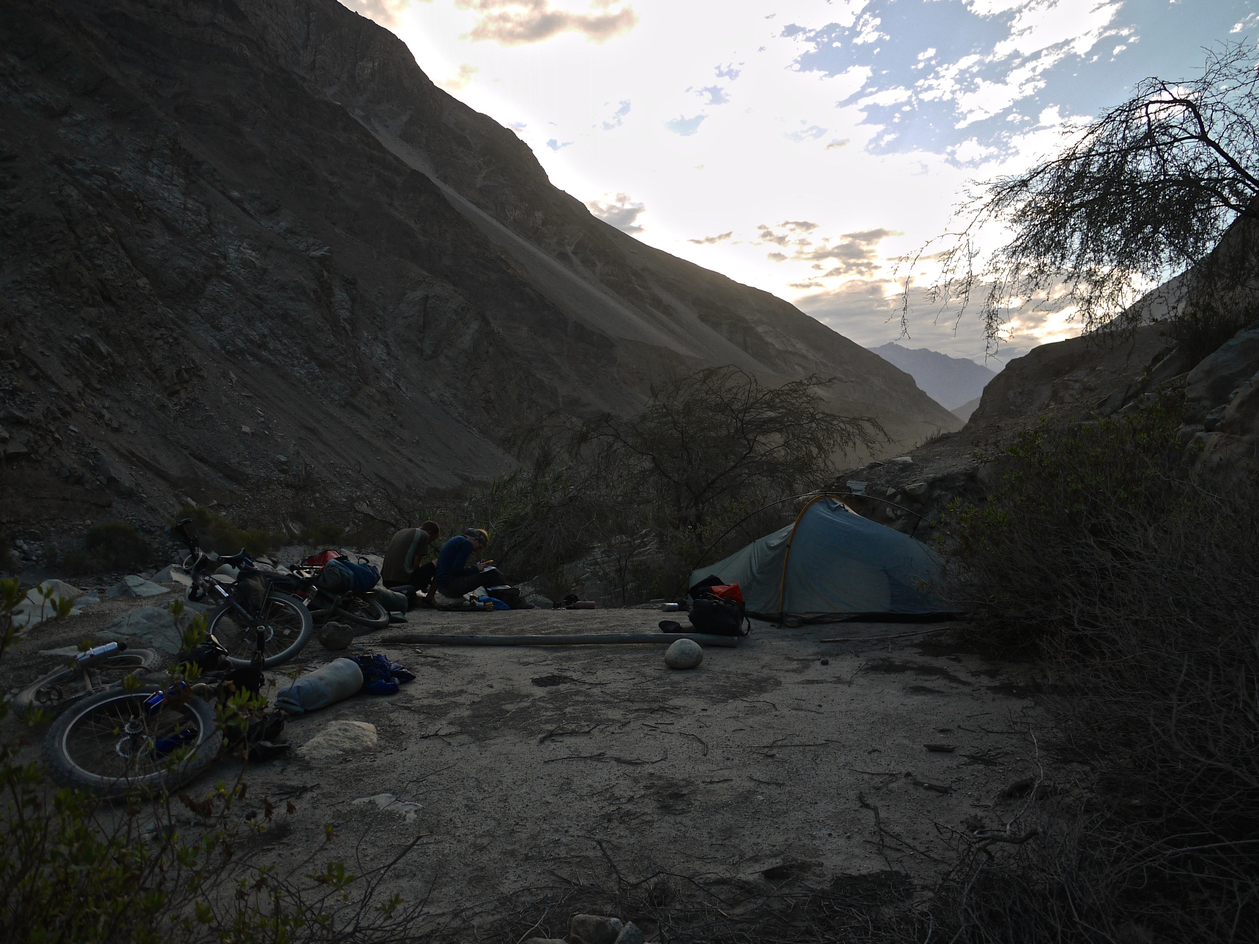
Camping
Food/H2O
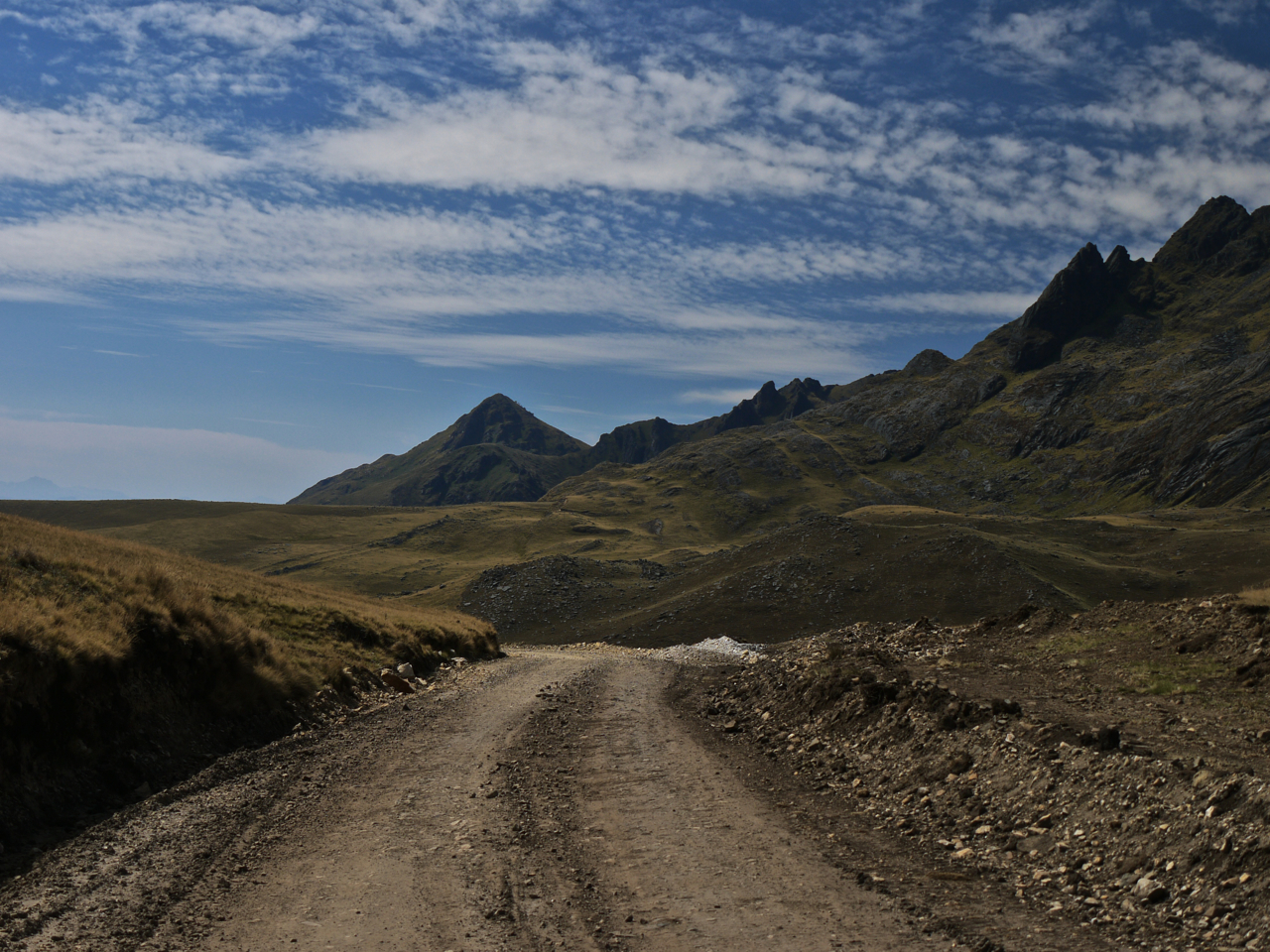
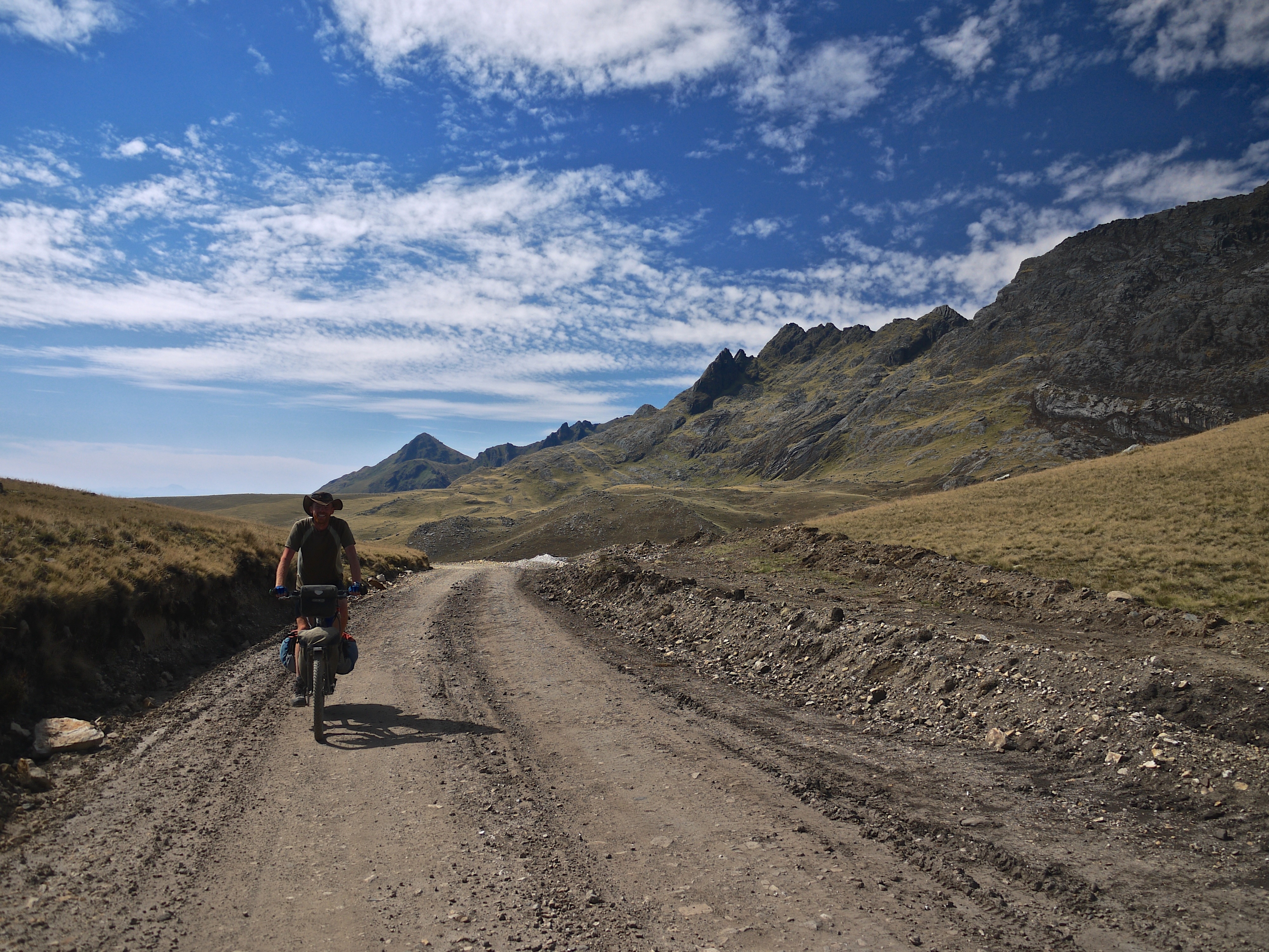
- Route tops out at 13,700 feet (4175m).
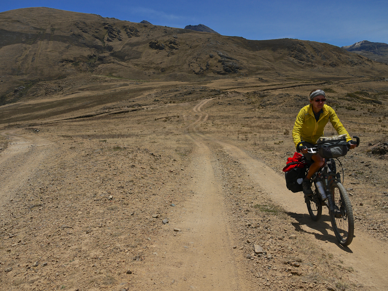
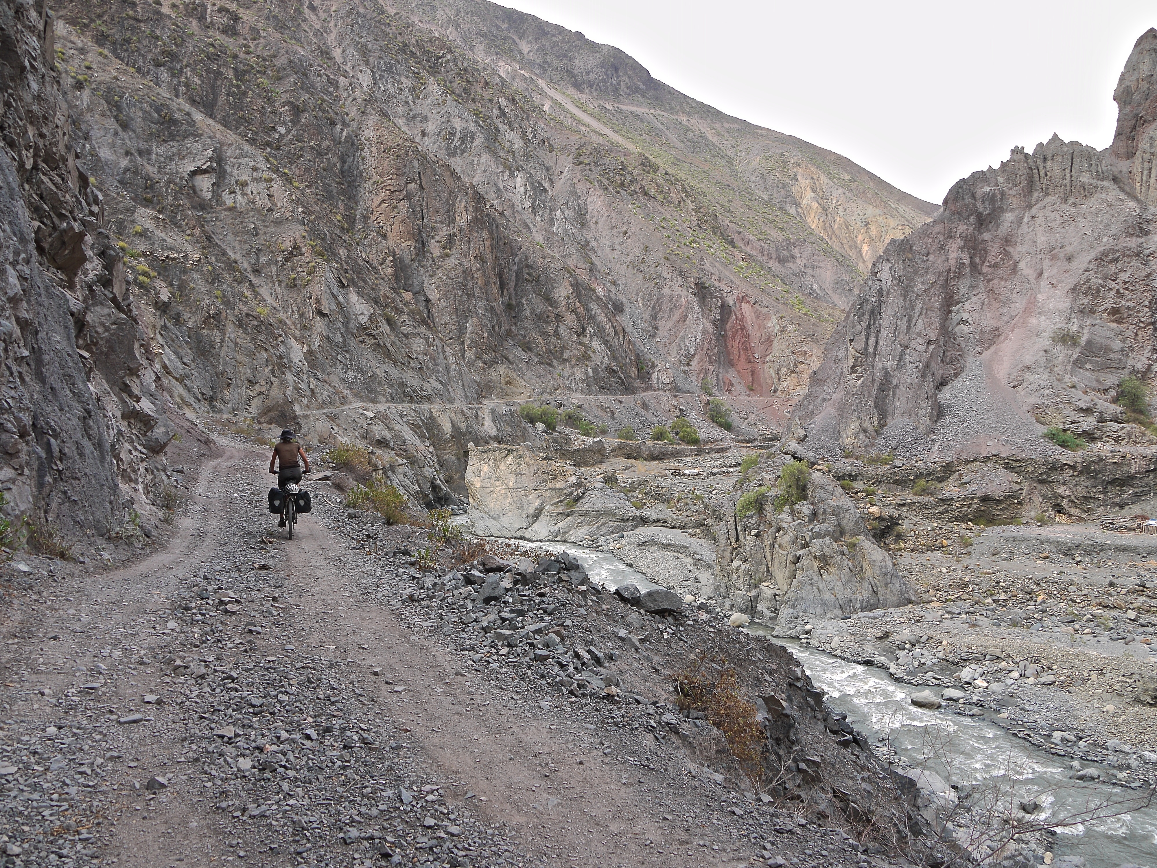
- A network of remote mining roads through a bare and rugged landscape.
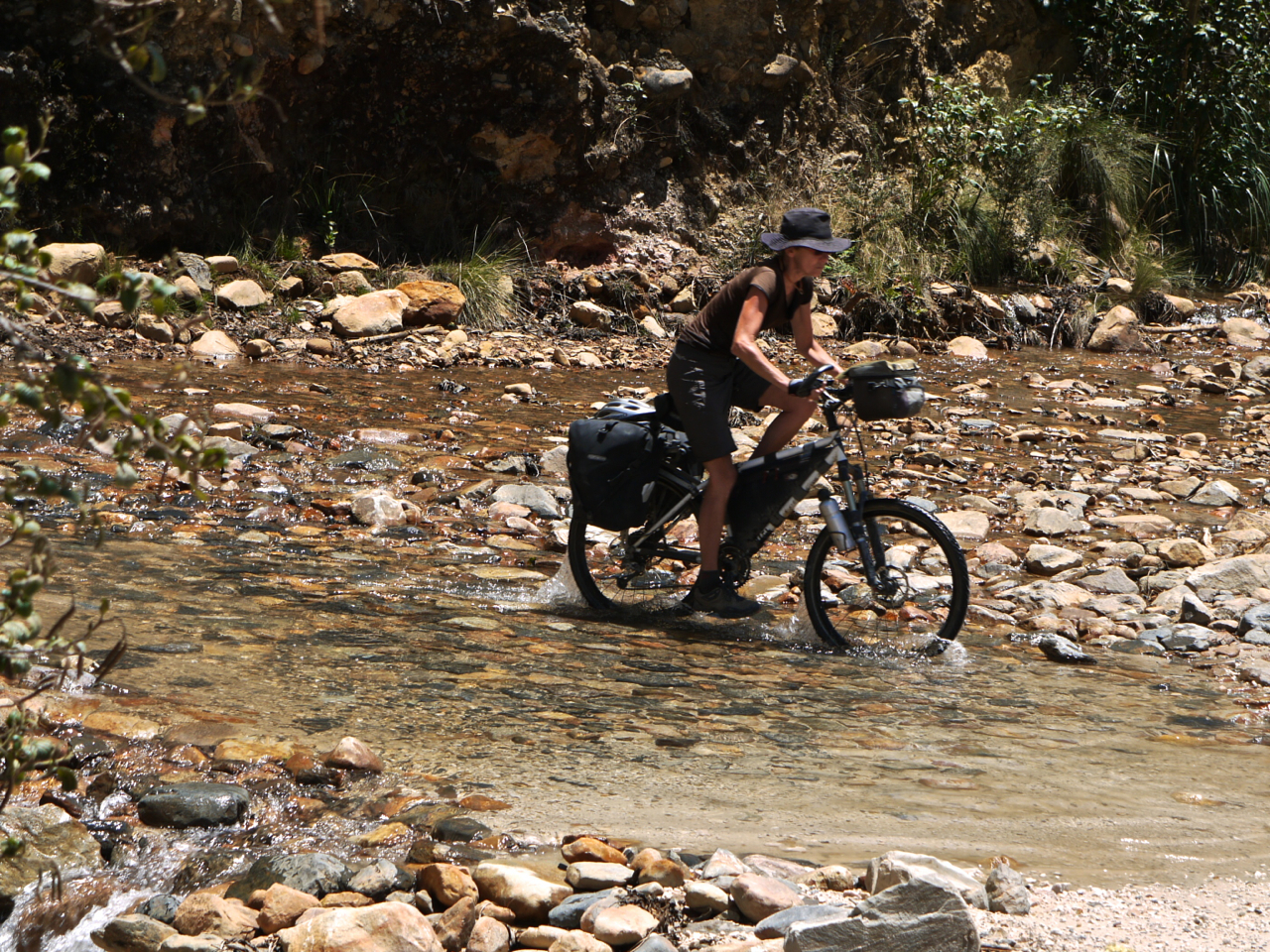
- Canyon water crossings.
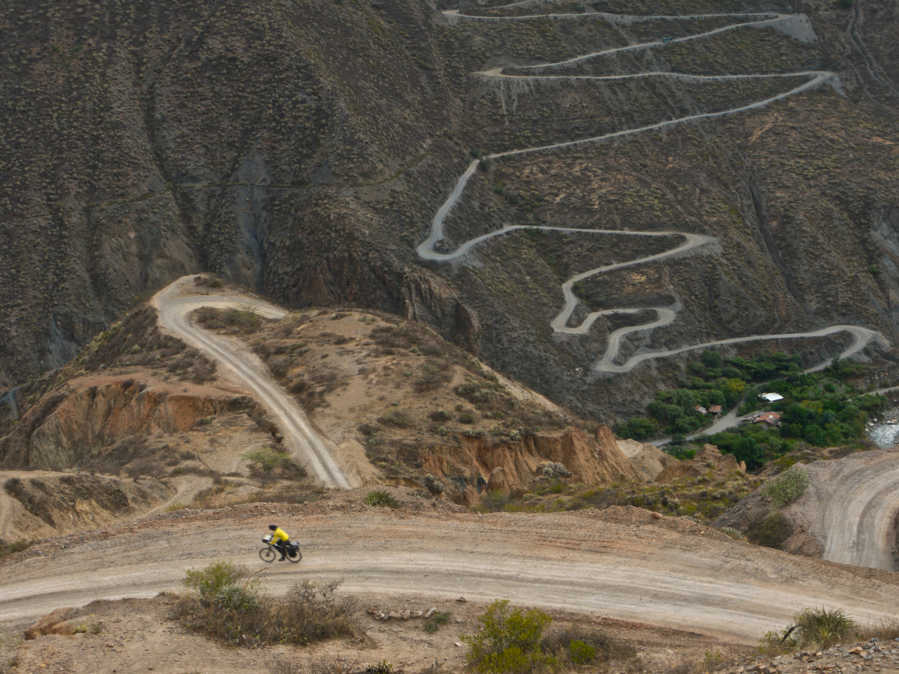
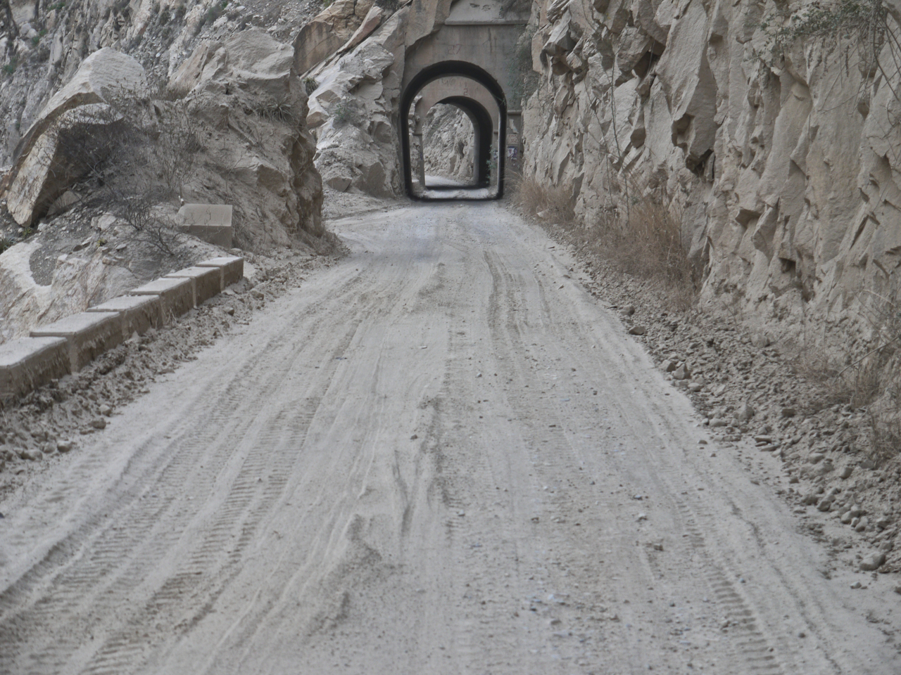
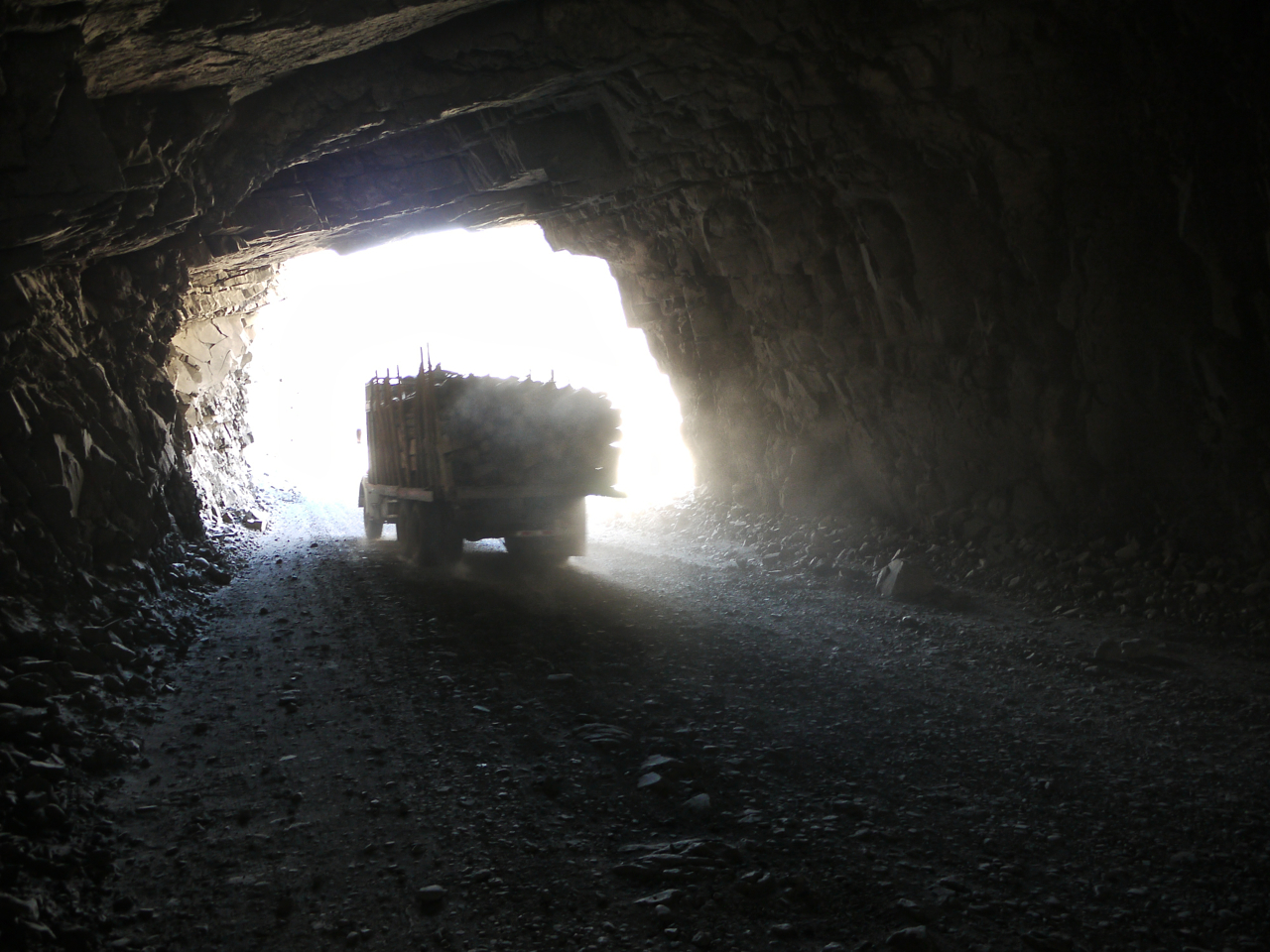
- A dirt road clinging to the cliff side and through tunnels in the Cañon del Pato.
- This route shares the final section with The Pikes’ Cordillera Blanca, Northern Loop. Combine them to make a rugged and breathtaking two-week trip.
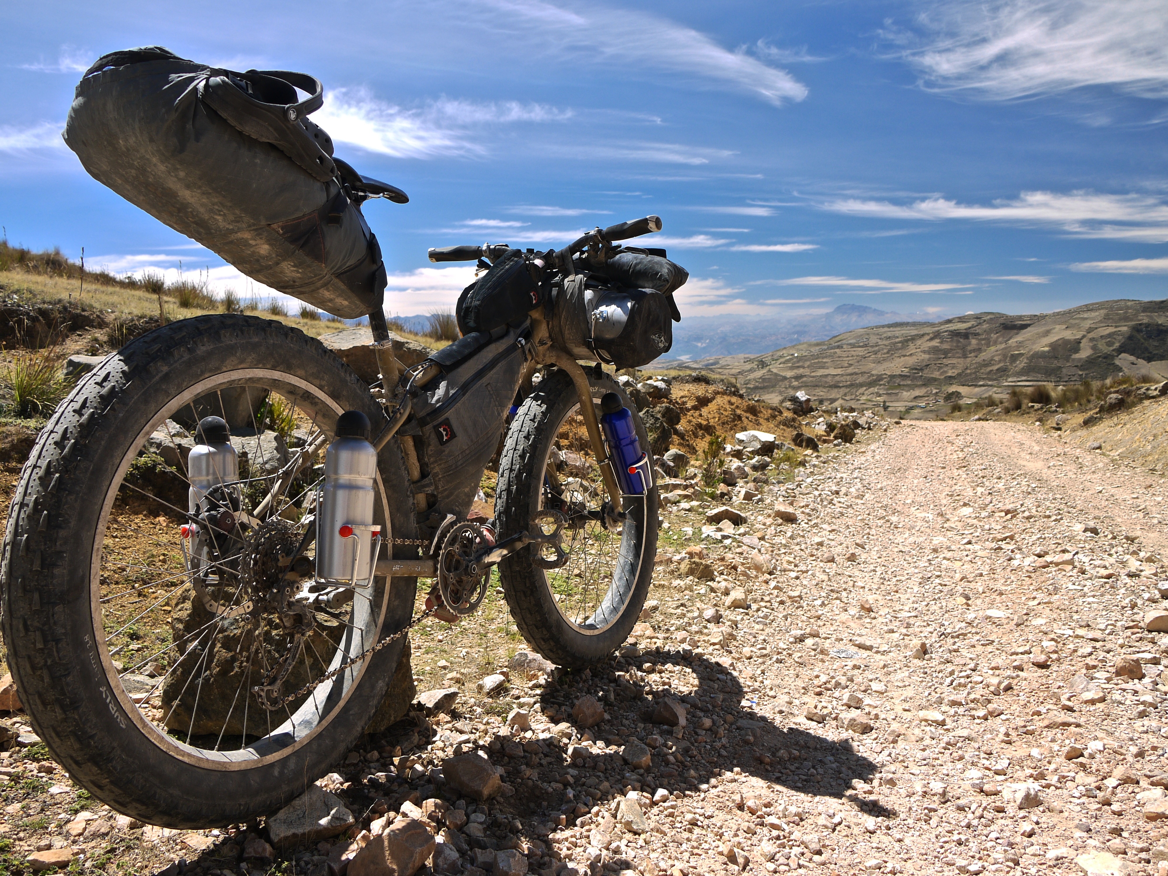
- A very dirt capable bicycle will make this route more pleasant. The author found his fat bike ideal for the loose rocky sections.
- Make sure your lights are in good working order for the tunnels in the Cañon del Pato.
- Use this route as part of a north to south trip through South America by crossing the Ecuador/Peru border at La Balsa.
- Do this section during the dry season, May-September.
- Wild camping is straightforward, though may be more difficult very close to Caraz. Basic lodging can be found in most villages if you ask around.
- A variety of accommodation, including relatively fancy, is available in Cajabamba and Caraz.
- Supplies are readily available in Jesus, Cachachi, Cajabamba (a big town), Huamachuco, and Huallanca.
- There is a small collection of stores at the intersection of roads 12 and 3N (at Mile 220 on the route map).
- Even very modest villages typically have basic pantry items.
- Be mindful of your water supply, especially in the section between Huamachuco and Mollepata. Pre-filter canyon water through a bandana to remove the silt.


Terms of Use: As with each bikepacking route guide published on BIKEPACKING.com, should you choose to cycle this route, do so at your own risk. Prior to setting out check current local weather, conditions, and land/road closures. While riding, obey all public and private land use restrictions and rules, carry proper safety and navigational equipment, and of course, follow the #leavenotrace guidelines. The information found herein is simply a planning resource to be used as a point of inspiration in conjunction with your own due-diligence. In spite of the fact that this route, associated GPS track (GPX and maps), and all route guidelines were prepared under diligent research by the specified contributor and/or contributors, the accuracy of such and judgement of the author is not guaranteed. BIKEPACKING.com LLC, its partners, associates, and contributors are in no way liable for personal injury, damage to personal property, or any other such situation that might happen to individual riders cycling or following this route.
Please keep the conversation civil, constructive, and inclusive, or your comment will be removed.