


Cones and Canyons: Peru Divide (P3A)
Distance
488 Mi.
(785 KM)Days
15
% Unpaved
70%
% Singletrack
0%
% Rideable (time)
99%
Total Ascent
55,000'
(16,764 M)High Point
17,000'
(5,182 M)Difficulty (1-10)
7.5?
- 7Climbing Scale Strenuous113 FT/MI (21 M/KM)
- -Technical Difficulty
- -Physical Demand
- -Resupply & Logistics
Contributed By

Cass Gilbert
While Out Riding
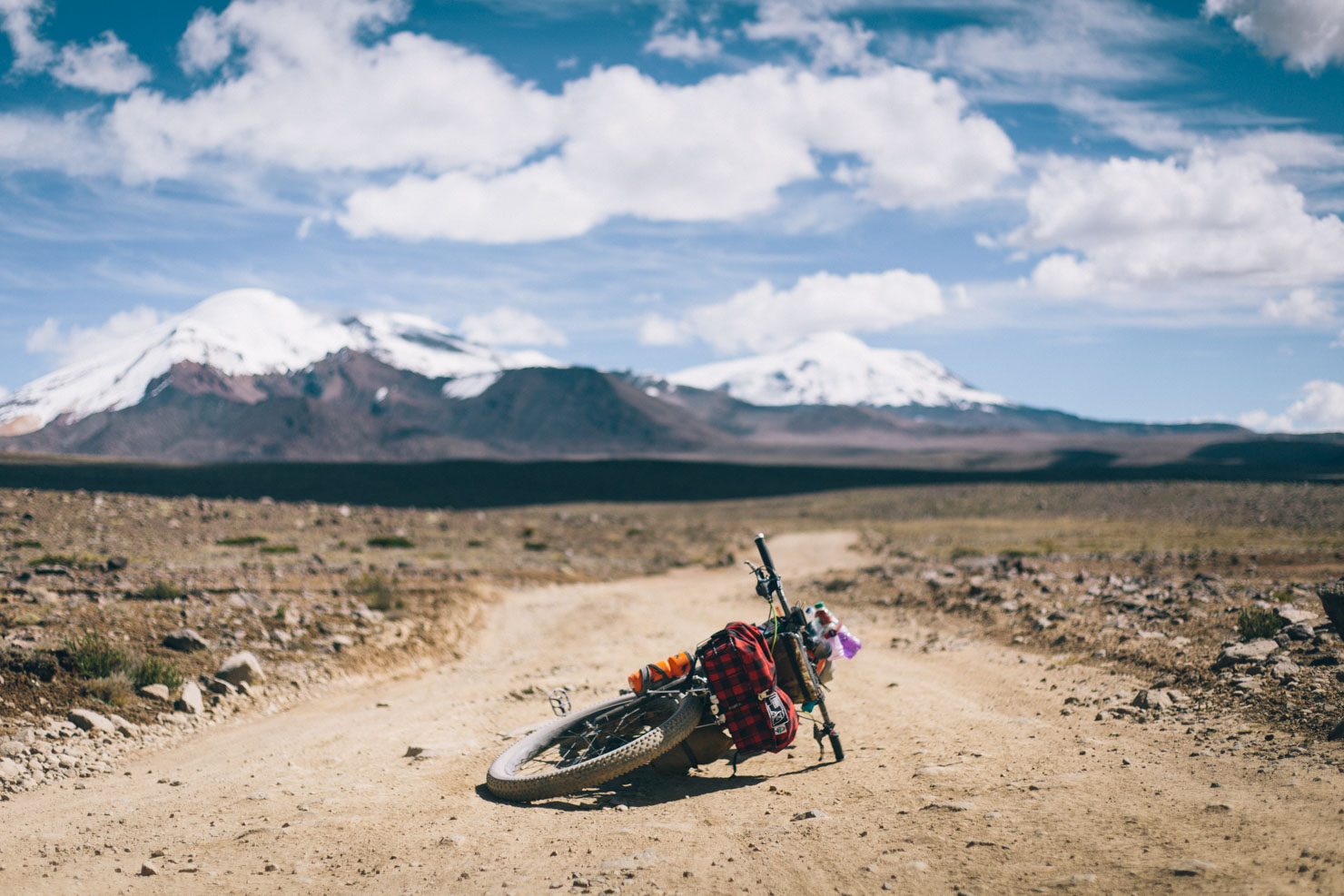
Beginning in Arequipa – a relaxed base to ease your way into Peru’s way of life – Cones and Canyons strikes north towards the pampa by way of a stout 1700m climb, a challenge best taken gently and split in two, in the interests of acclimatisation.
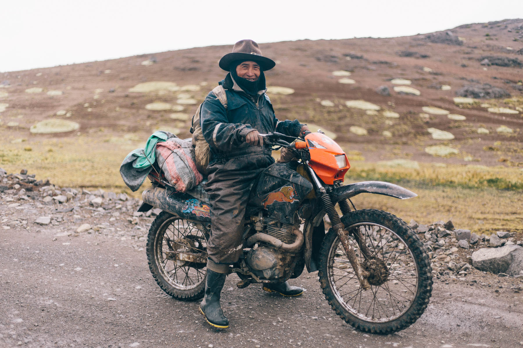
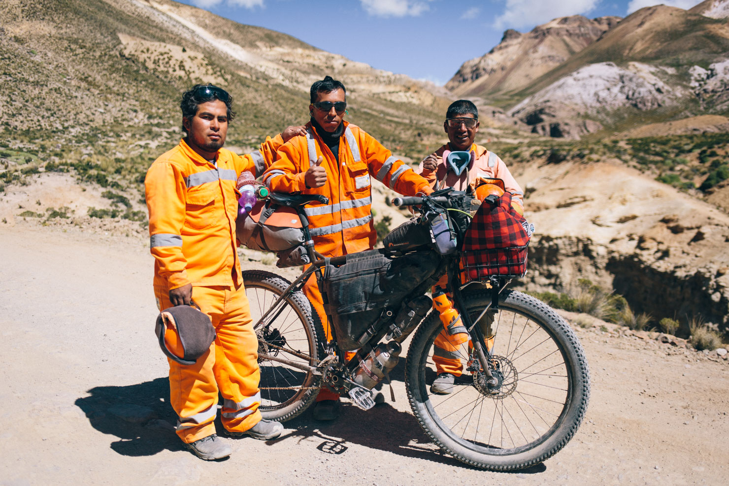
The route initially runs between a corridor of volcanoes, 5800m Misti being the most prominent, before passing the turnoff to the popular Colca Canyon (Chivay can be used as a base if further rest is needed). Instead, it peels away towards the small highland settlement of Cayloma, a perfect spot to take a day off the bike and help acclimatise for the next pass of the trip, one that’s reached by the road to Mina Chilas, a mine that is currently being decommissioned – see Trail Notes for up to date details on how best to negotiate it. Notethat locals in this region are very sensitive to mining interests, so you may well need to explain that you’re a tourist, and not a prospector!
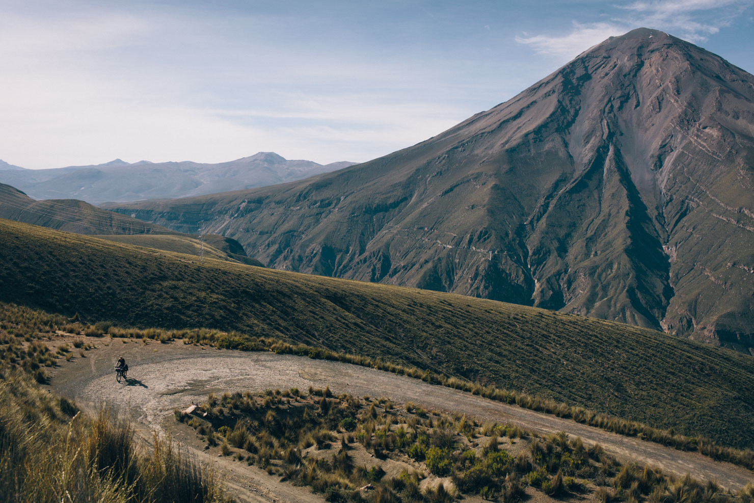
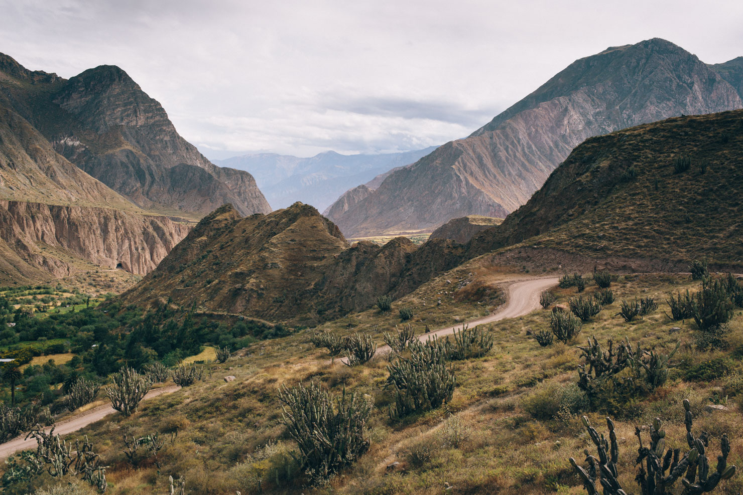
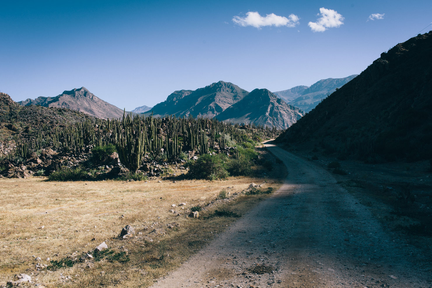
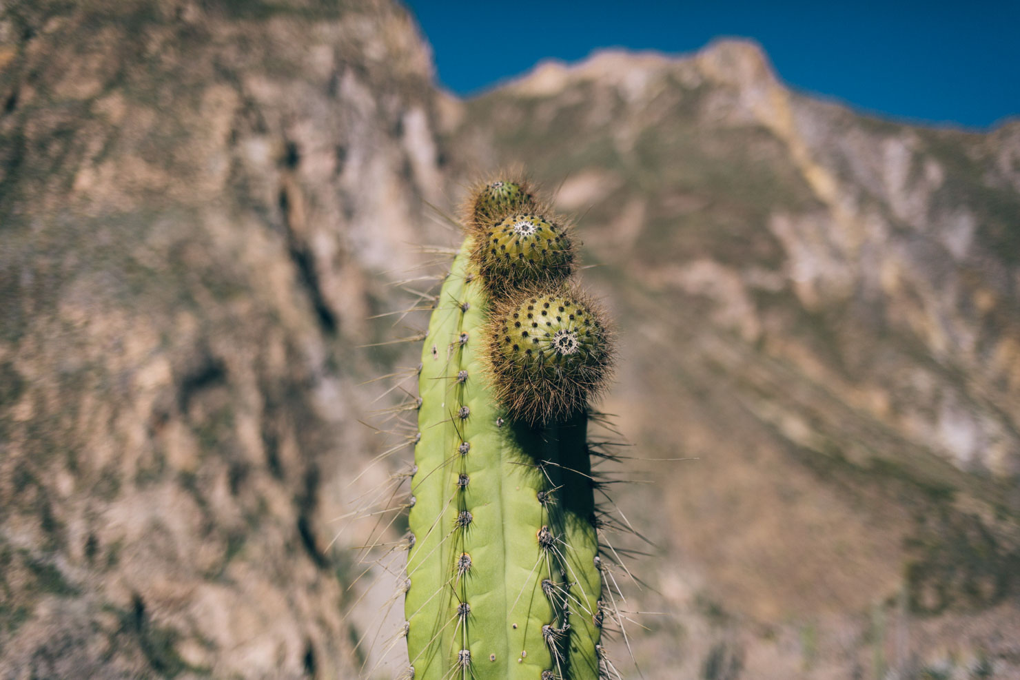
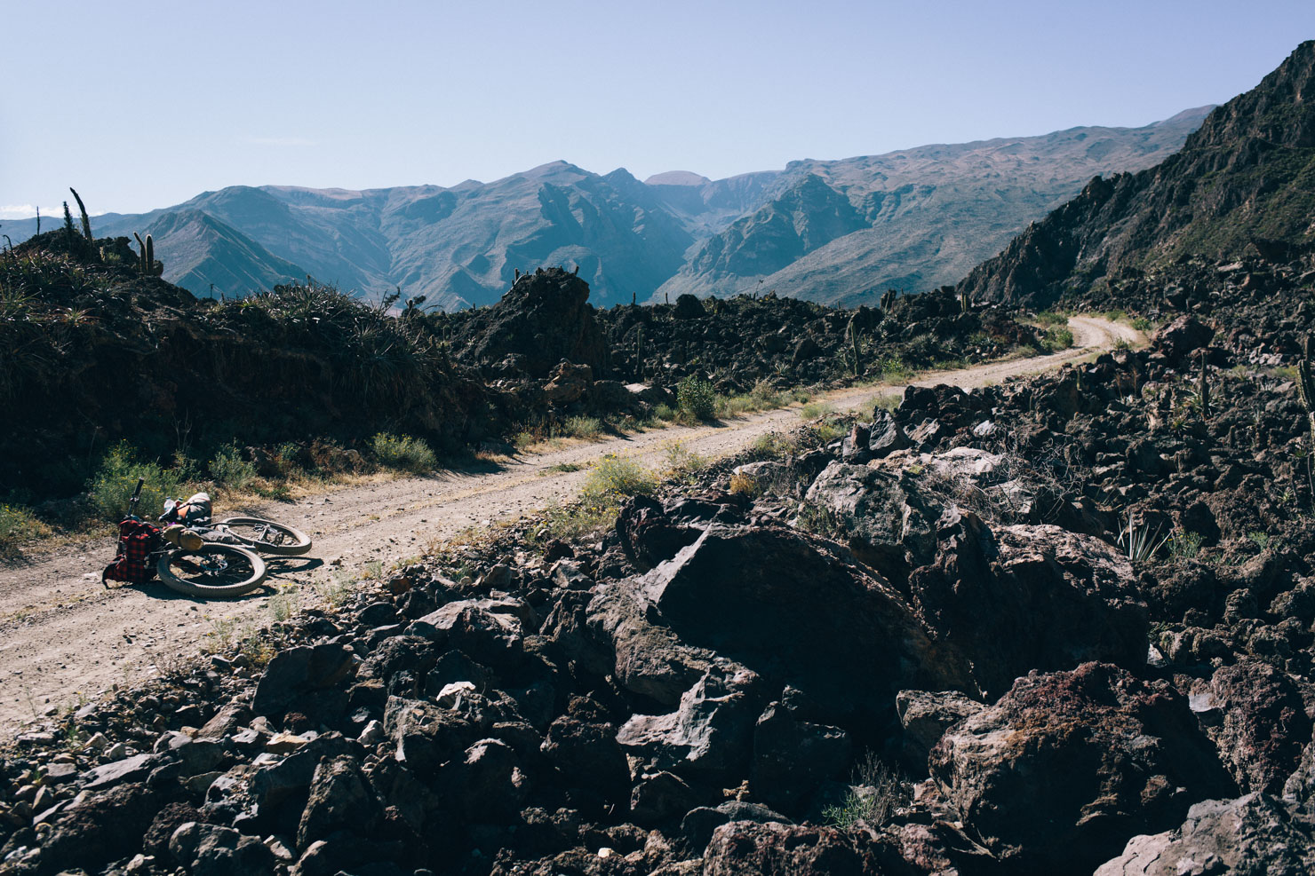
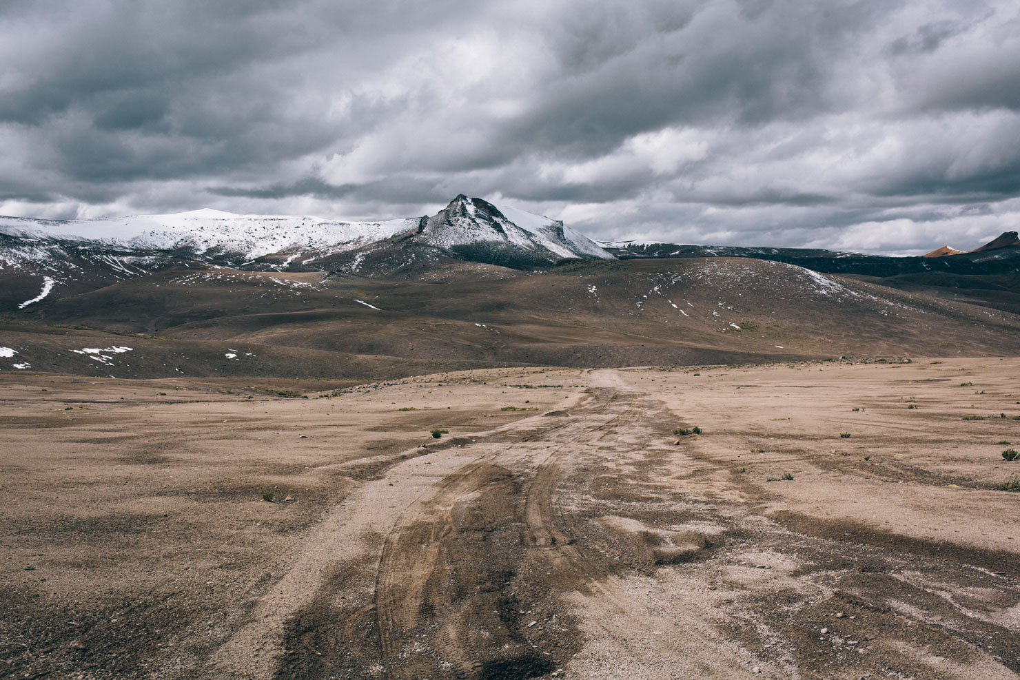
Once crested, Peru’s diversity is showcased in the ensuing rough and ready descent, funnelling riders out of the mineral-streaked pampa and into the Valle de Los Volcanes, on a dirt road then wends between San Pedro Cacti and lunar-like rock formations. A new paved road is being completed through the valley, so catch this beautiful are soon while it’s still quiet and largely bereft of fellow tourists.
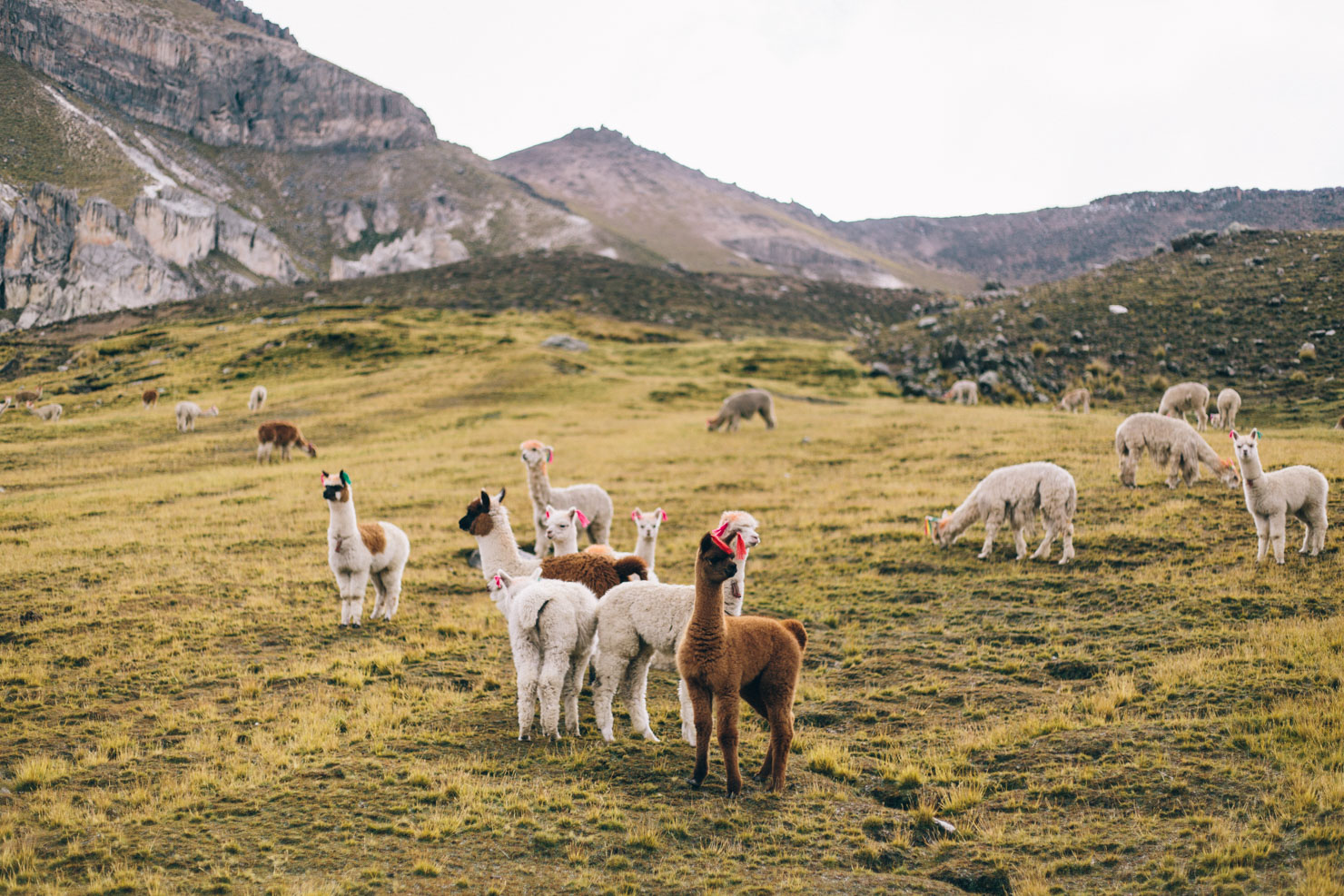

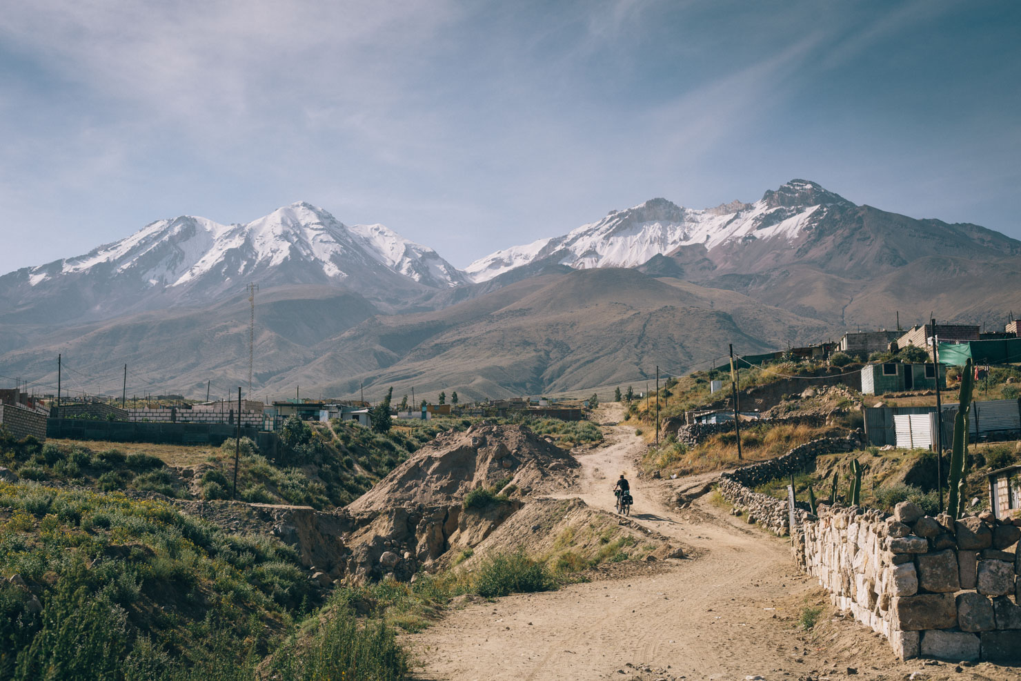
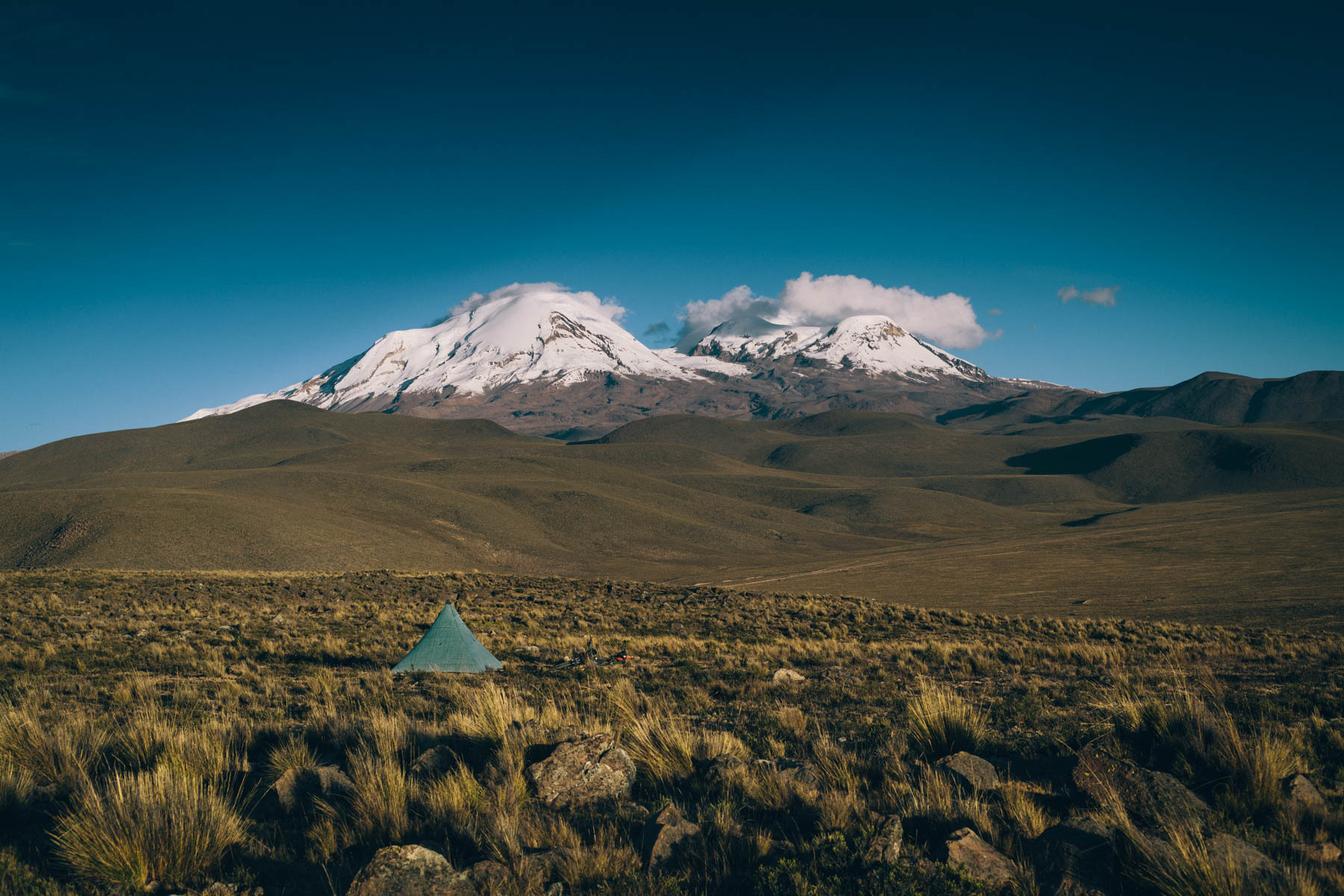
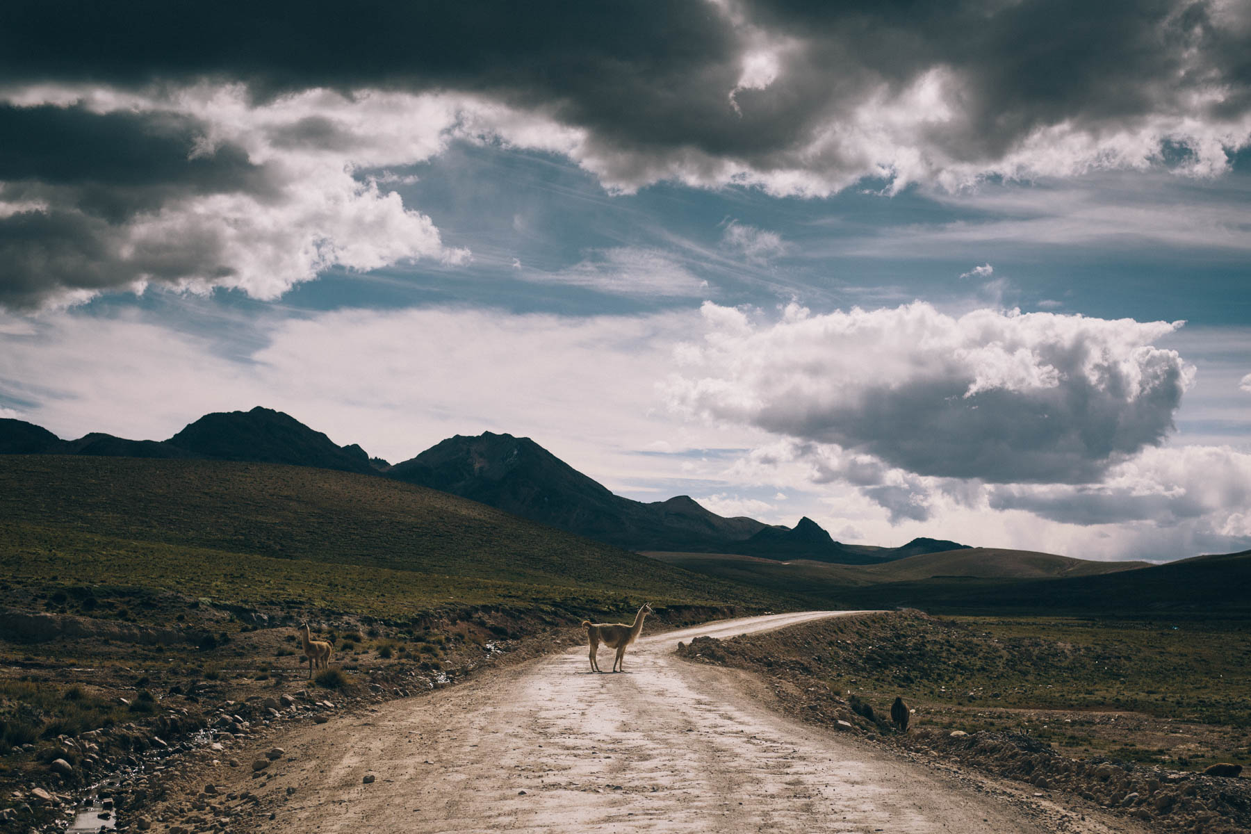
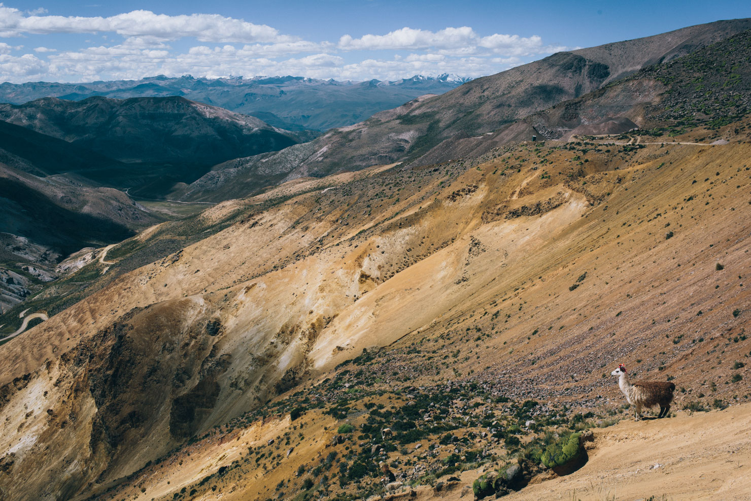
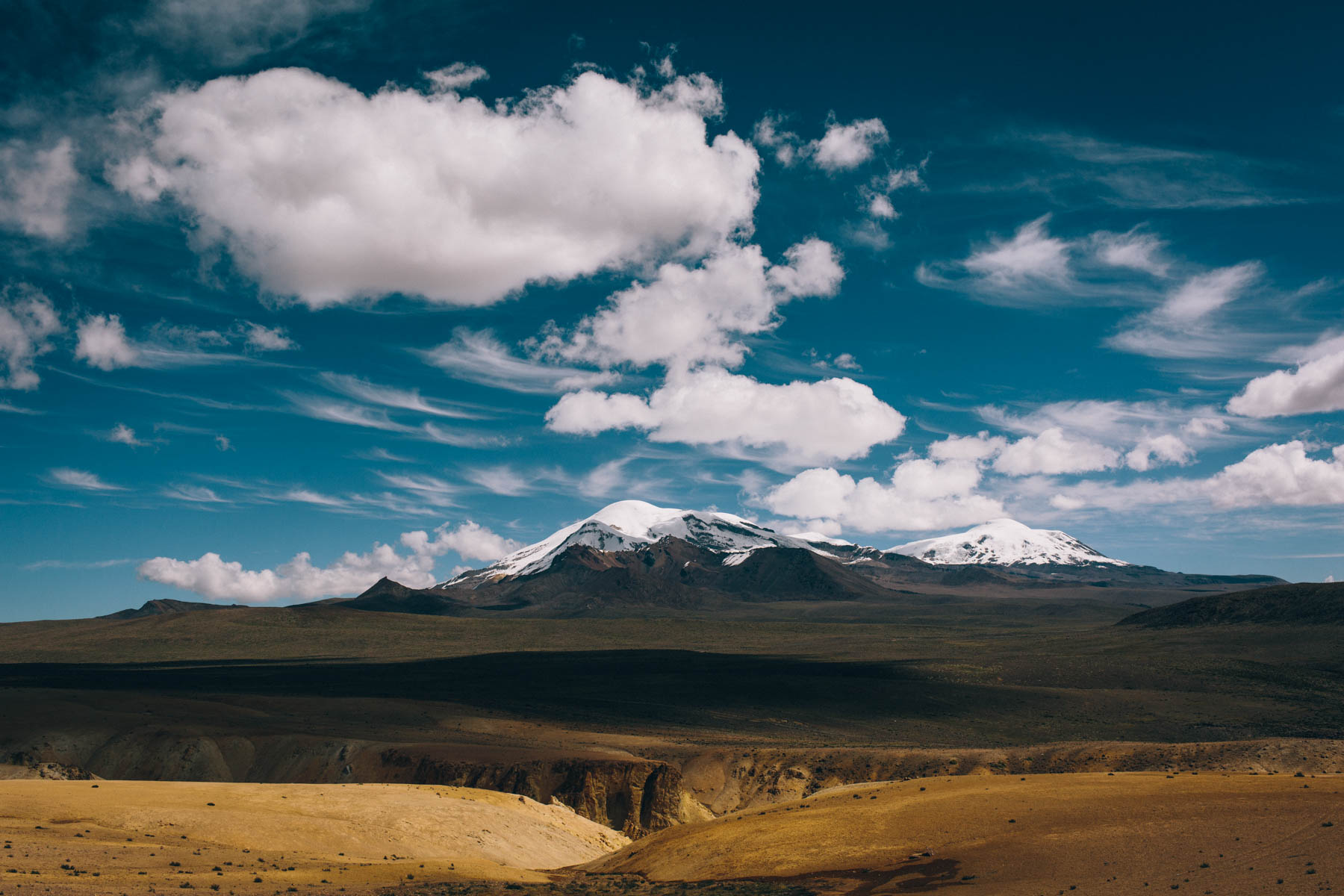
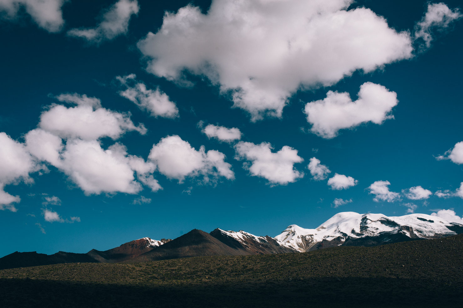
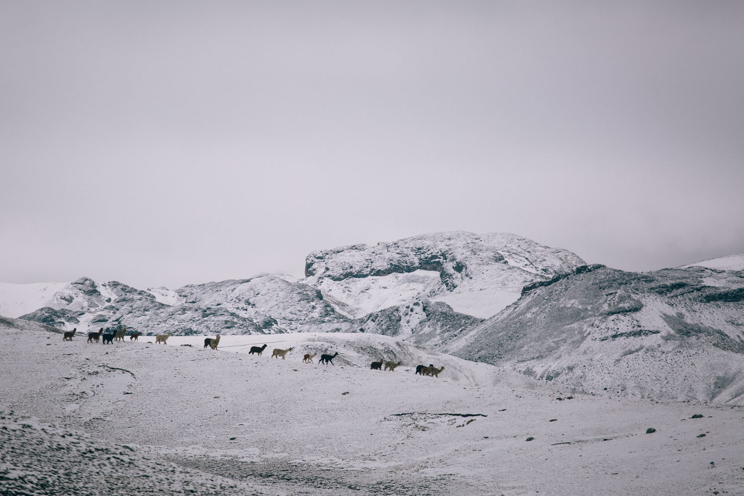
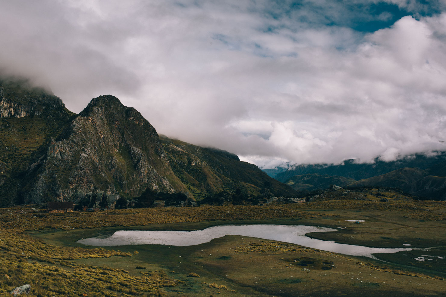
A spectacular high pampa traverse forms a highlight of this first part of the ride, passing by apachetas – the traditional stone cairns that mark offerings to the Incan gods – and a smattering of tiny settlements that house alpaca herders, their animals roaming this 4000m plateau. Here, the towering Nevado Coropuna and Nevado Solimana, both well over 6000m, form impressive points of reference.
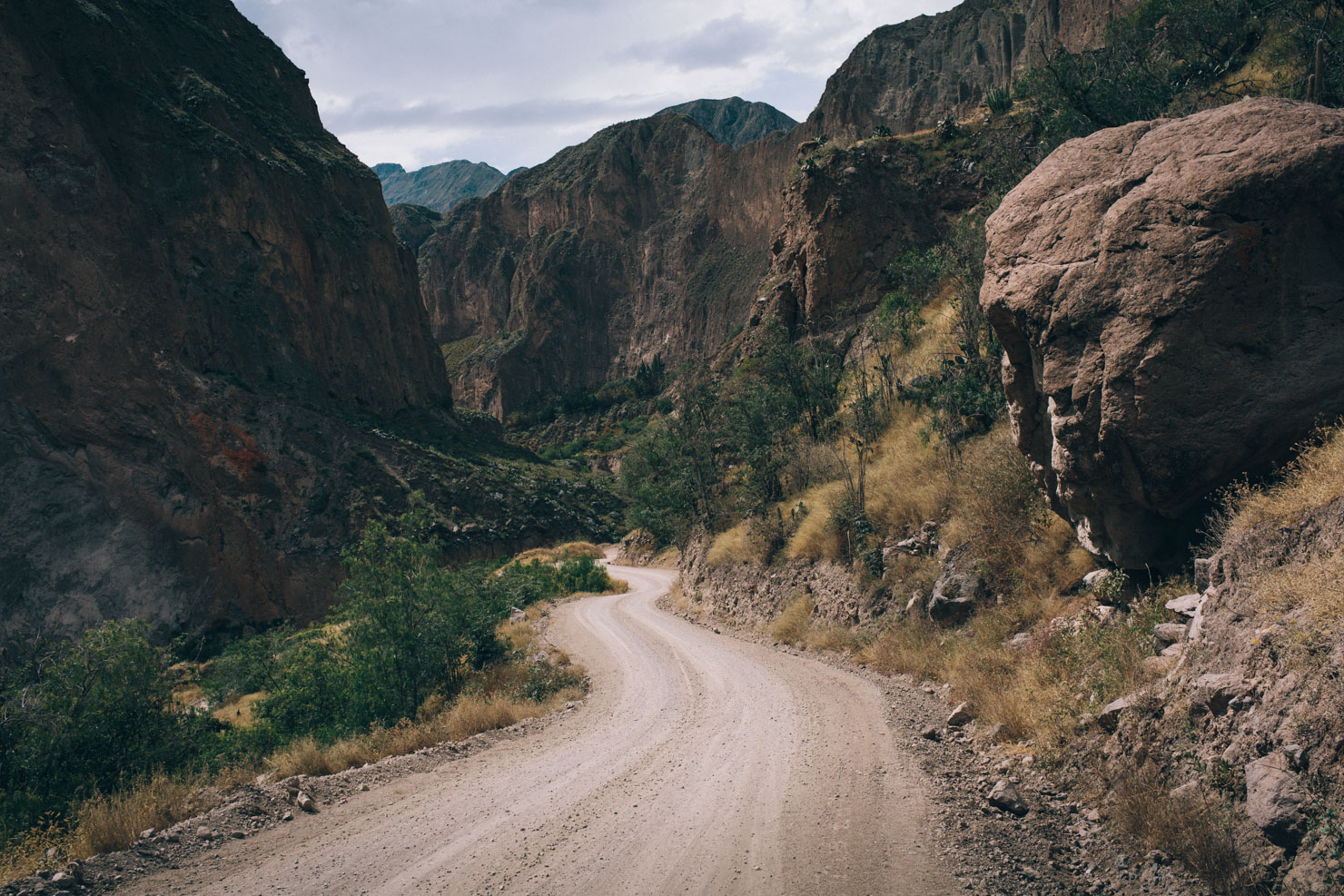
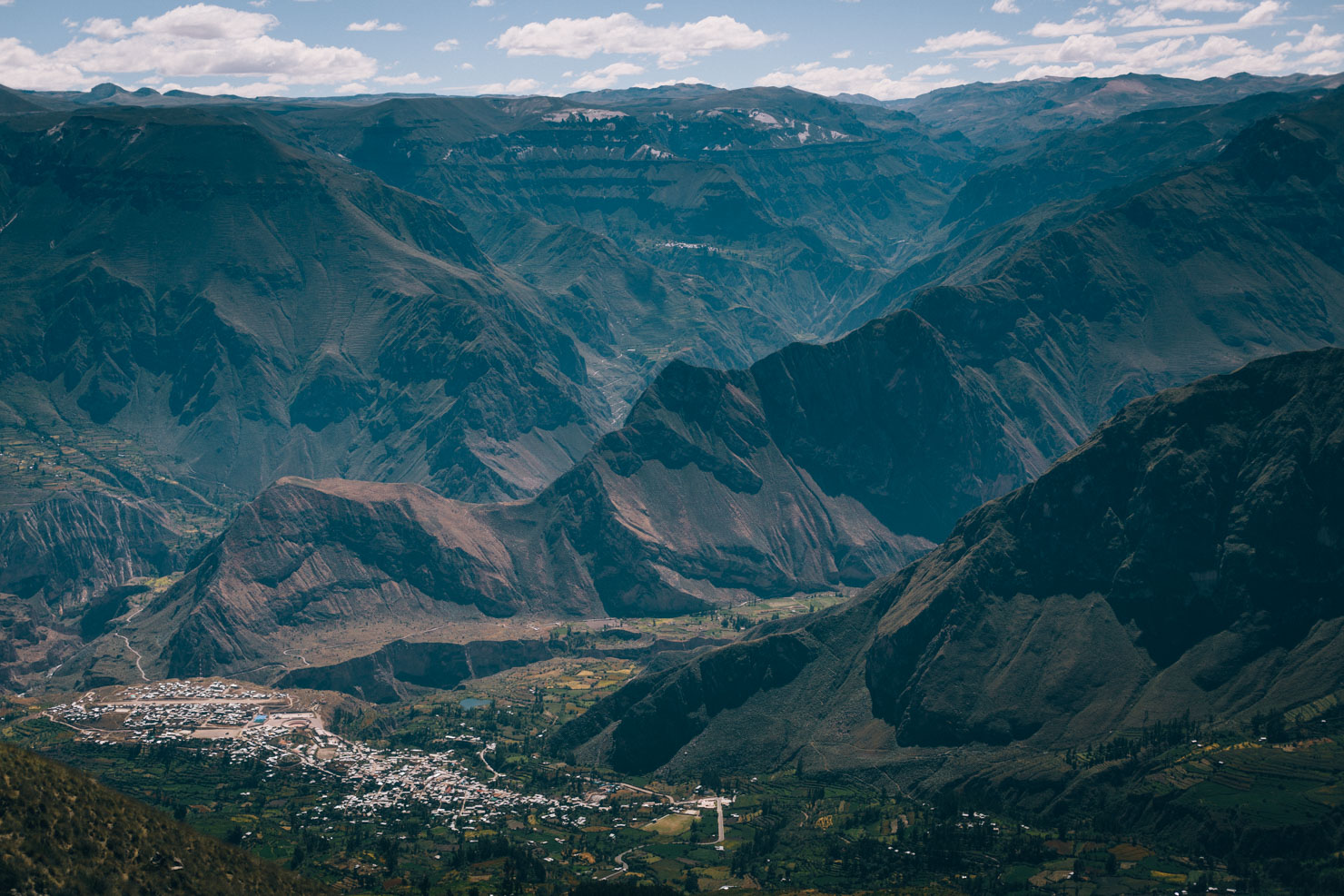
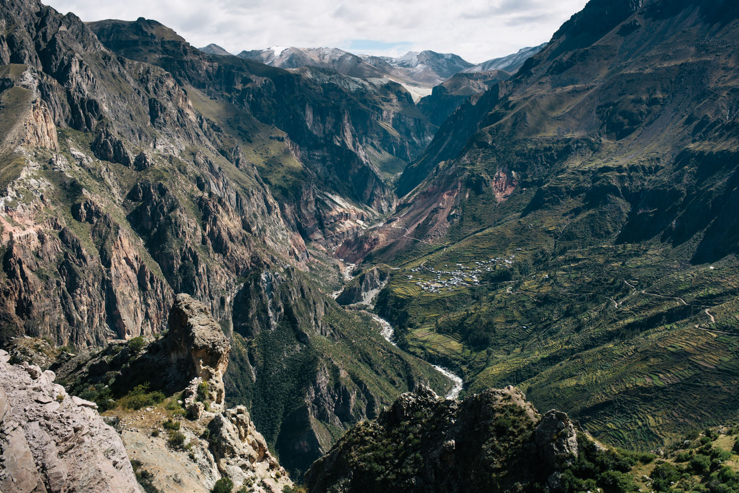
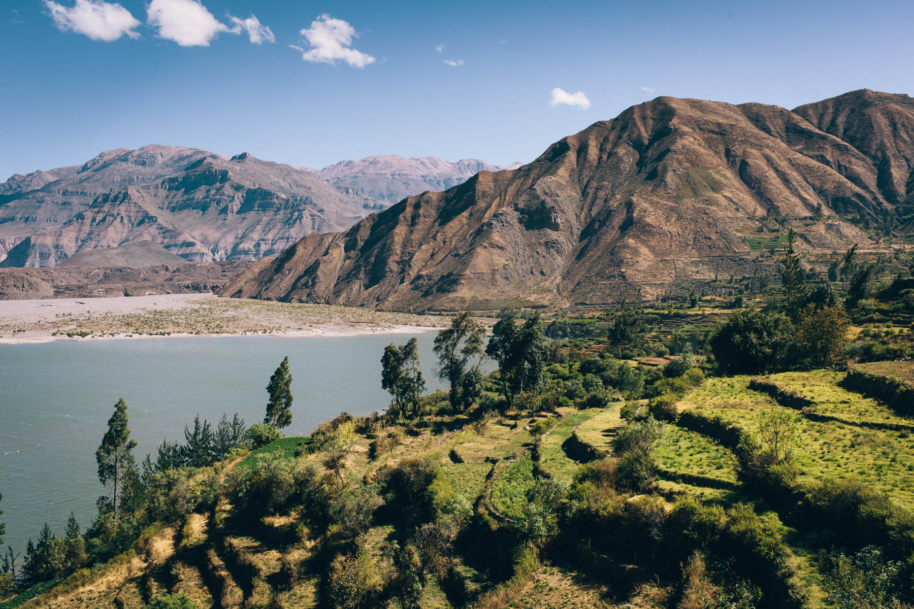
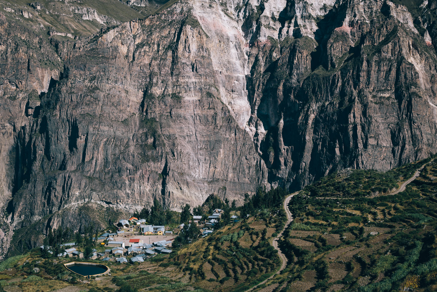
The approximate halfway point of this route comes in the form of Cotohuasi, nestled deep in the valley far below and a gateway to what’s generally considered to be the deepest canyon in the world; an impressive, river-eroded chasm that runs between the two enormous mountain massifs, as enjoyed the day prior. El Cañón de Cotahuasi’s stats just pip Colca to the post – at 3354 meters deep, it’s over twice the depth of the Grand Canyon, albeit over a much longer distance. Thanks to its awkward access from Arequipa and Lima, this is an area that sees just a handful of tourists, in stark contrast to the gringo melee of neighbouring Colca.
Route Development
The Peru Divide is a bikepacking route that forms part of the greater Andes Traverse, an ongoing project to build a long distance route that runs along the spine of the Andes, between Colombia and Chile.
For this segment, great thanks are owed the Pikes on Bikes and Ryan Wilson for laying down the groundwork. As is, this route allows for easy onwards travel northwards along the complete Peru Divide, or east towards Cusco, whilst also offering a great start/end point by way of Arequipa. Many regional permutations are also possible; see the Andes By Bike website for other options. .
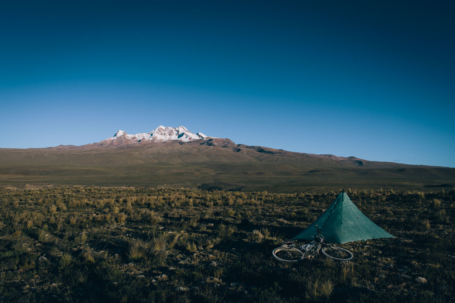
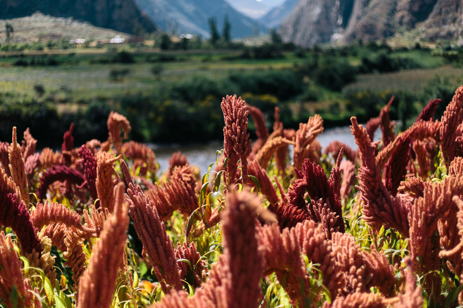
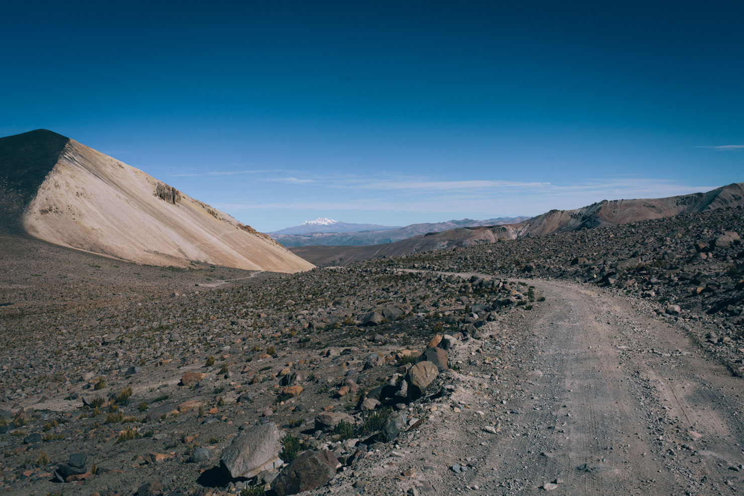
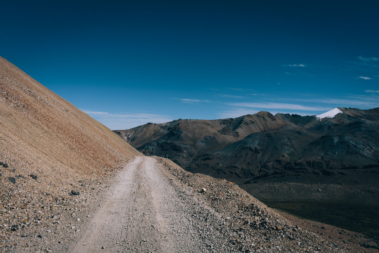
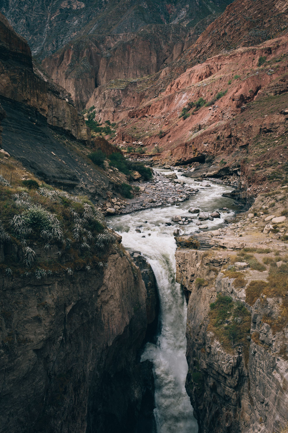
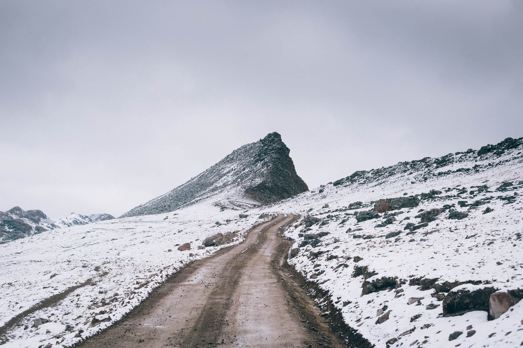
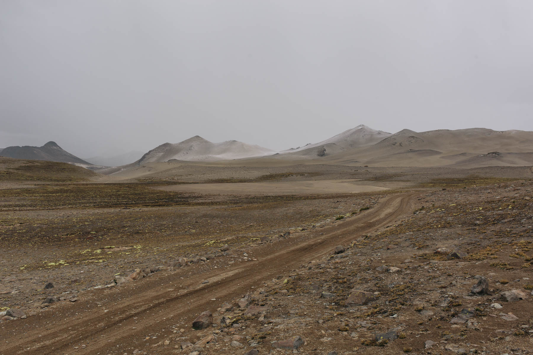
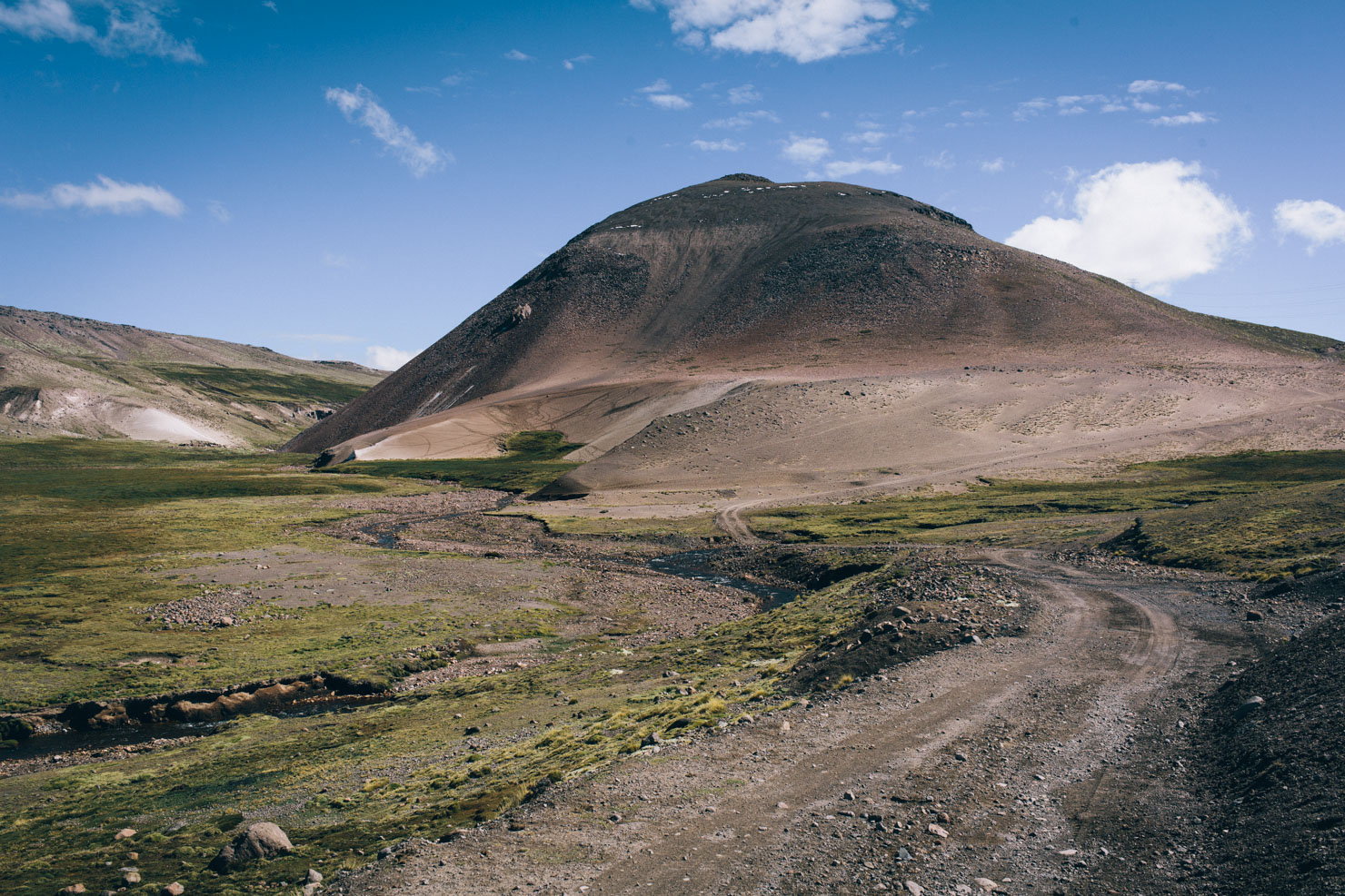
Cotohuasi also forms a welcome respite from the high altitude pampa. Cupped by steep rocky walls, its surrounded by fields of colourful quinoa and replete with fresh fruit delivered from the depths of the canyon. A lush and impressively high single drop waterfall is also well worth the side trip. Stock up and recharge in Cotahuasi because from here it’s time to climb back into the treeless tundra… prepare yourself for running a 130km gauntlet along rugged mining roads, staying above 4,500m and crossing five 5,000m passes in close succession. But the oxygen-depleted effort is more than worth it. This stretch is undoubtedly amongst the Peruvian Andes’ most beautiful parts of ‘El Silencio’ – the name given to high altitude, uninhabited regions on the pampa – and a sublime part of the route that’s sure to test even the strongest of riders.
Eventually, Cones and Canyons winds its way back down into the relative lowlands (relative to the Andes, that is), from where riders have the opportunity of dropping down valley to connect with Peru’s core Great Divide route, pedalling up to Abancay on asphalt to catch a comfortable bus to Lima, or continuing on two wheels and striking east towards the tourist mecca of Cusco.
For more photos and a full feature on this route, read Ponderings from the Pampa.

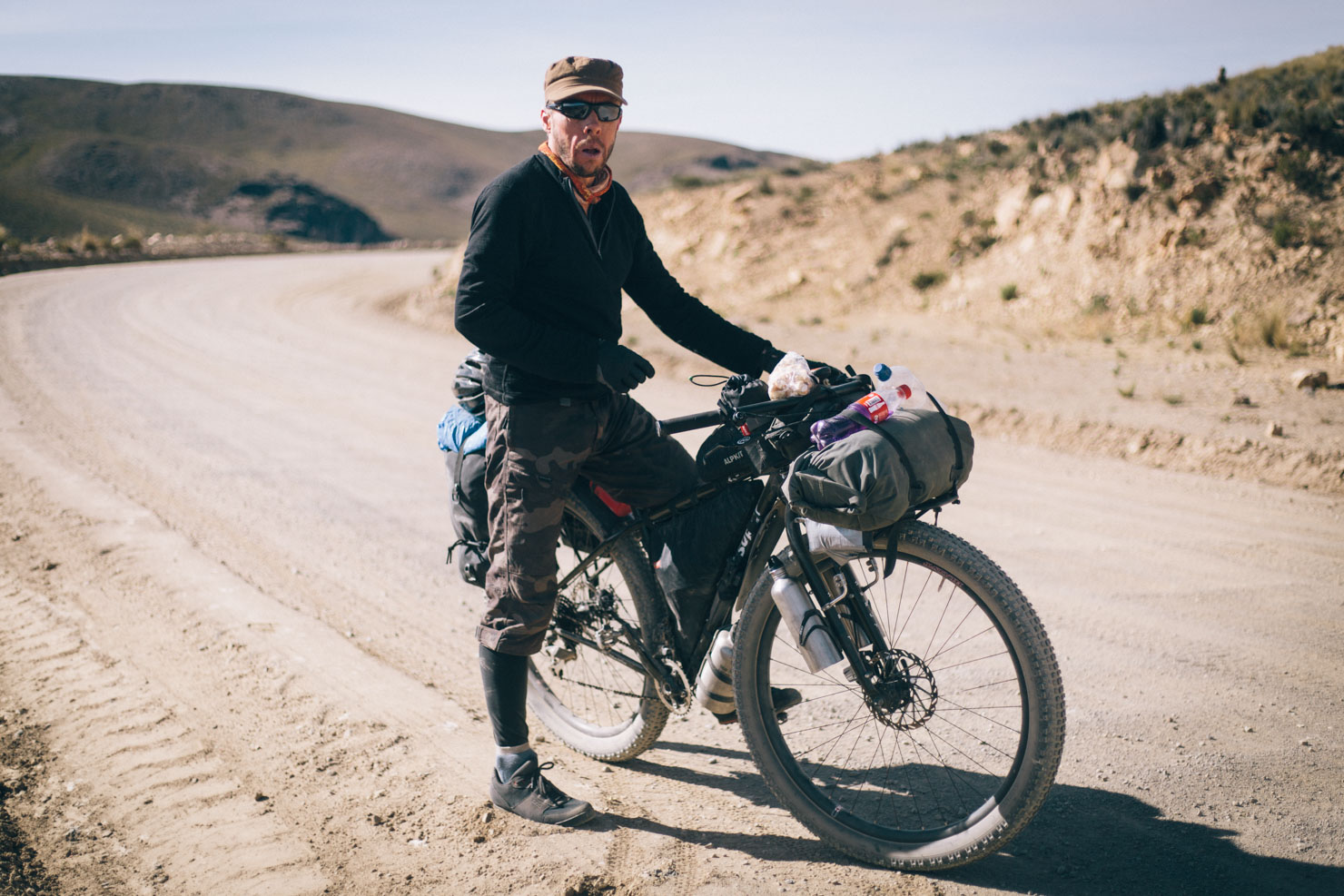
Diffculty: Cones and Canyons’ main challenge is several extended climbs, an extended stint at 4500m+, and a succession of 5000m passes. If you’re riding north, the first is straight out of Arequipa, so be sure to allow extra days in your schedule to acclimatise – particularly important for those coming from sea level. Although this is a non-technical ride, roads are in variable condition and in an ever-changing state. Resupply points are relatively good though being the Andean backcountry, a grasp of Spanish is very useful. With a minimal setup, this route is completely rideable as long as you stop to take a few extra breaths along the way. Pack too heavy and you’ll likely be pushing…


Submit Route Alert
As the leading creator and publisher of bikepacking routes, BIKEPACKING.com endeavors to maintain, improve, and advocate for our growing network of bikepacking routes all over the world. As such, our editorial team, route creators, and Route Stewards serve as mediators for route improvements and opportunities for connectivity, conservation, and community growth around these routes. To facilitate these efforts, we rely on our Bikepacking Collective and the greater bikepacking community to call attention to critical issues and opportunities that are discovered while riding these routes. If you have a vital issue or opportunity regarding this route that pertains to one of the subjects below, please let us know:
Highlights
Must Know
Camping
Food/H2O
Trail Notes
Resources
- Visiting the small settlement of Cotahuasi, situated along the deepest canyon in the world.
- Experiencing Peru’s El Silencio, the uninhabited, treeless tundra with wild camp spots galore.
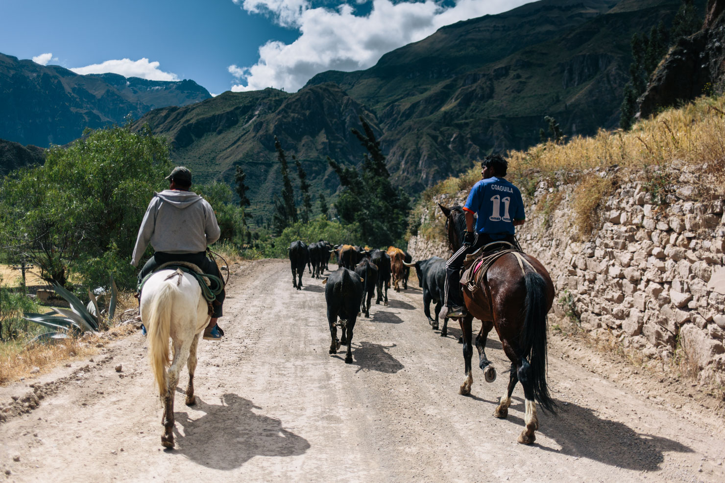
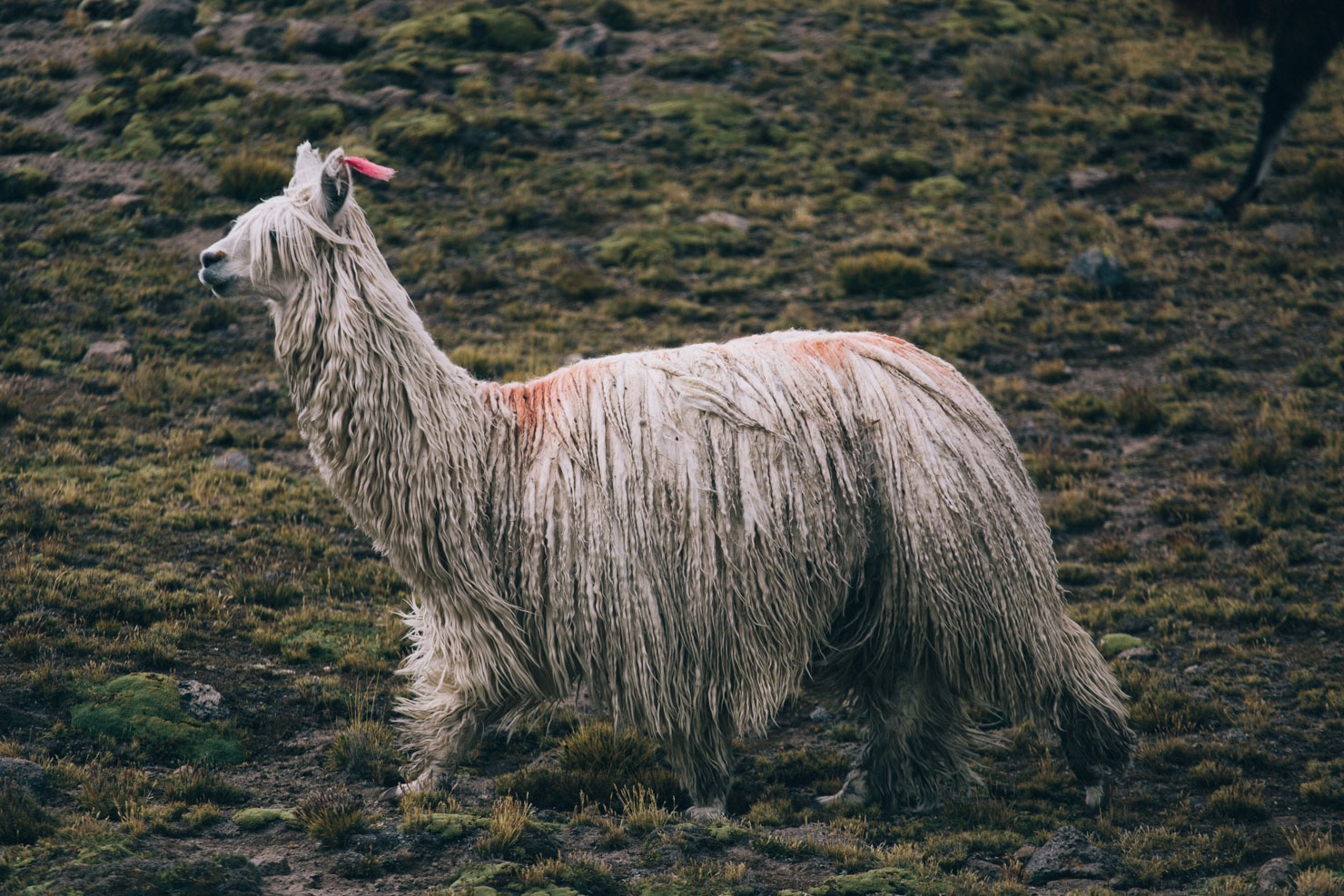
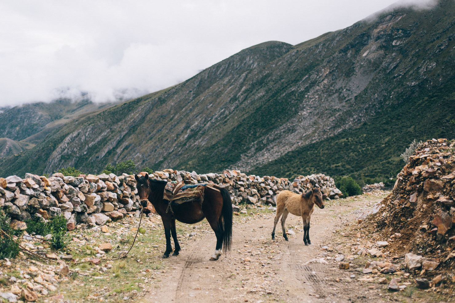
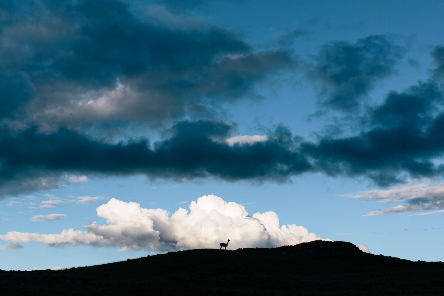
- Rubbing shoulders with llama and alpaca.
- Cresting a series of 5000m passes.
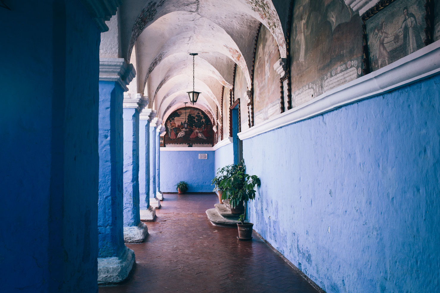
- Hanging out in Arequipa, home to a great vibe, good food, and fantastic museums.
- Direction: I rode this loop north as if you’re heading to Peru for this route alone, Arequipa makes a great starting point to ease into the Peruvian lifestyle and is logistically more straightforward to get to. However, it’s just as good riding south, particularly as part of the full extended Peru Divide. Be sure to allow time to acclimatise.
- Best time ride: Avoid the rainy season at all costs; this ride is best undertaken from April/May to September. The shoulder seasons can be hit or miss…
- Best bike: Any mountain bike style tourer will work, the key component being to pack as light as possible. Plus tires are a definite boon in places.
- Pack light; this ride has a number of challenging climbs on a varied smorgasbord of terrain. Keeping your bike light will make all the difference to your enjoyment of this ride.
- If needed, Mina Chilas can be avoided by detouring via Orcopampa; there are good shops at the settlement of Tolconi. Note that the road surface between the Mina Arcata junction and Caylloma is bone shaking washboard, so I’d advise asking for passage through the mine.
- Cruz del Sur is a safe, reliable bus company that runs from Lima to Arequipa and from Abancay back to Lima. There is a small fee for a bike, based on weight. Bikes can be boxed or you can just remove the wheels, though some Cruz del Sur offices may ask you to wrap the bike, which can generally be done at the bus station. Tickets can be booked online.
- NB: allow plenty of time to acclimatise, particularly if coming from sea level. If heading north, spend several days in Arequipa (heading out on day rides), and break up the first climb into two. Take it easy for the first week and turn off to Chivay to rest up further if needed. If acclimatization is a concern, it might be marginally better ridden north to south, although Antabamba makes a less appealing base than Arequipa. If riding south, consider putting aside a week to acclimatise in Cusco, before catching a bus to Abancay and starting there. After Antambamba, the route stays at high elevation for a number of days, with no opportunities to drop down.
- If riding north, the route ends in Santa Rosa; from there it’s an easy pedal or local bus to Abancay (through which big bus companies operate), or downhill to the beginning of the Peru Divide.
- Arequipa has fantastic museums, including the Monasterio de Santa Catalina and the Museo Santuarios Andinos, both of which are well worth visiting.
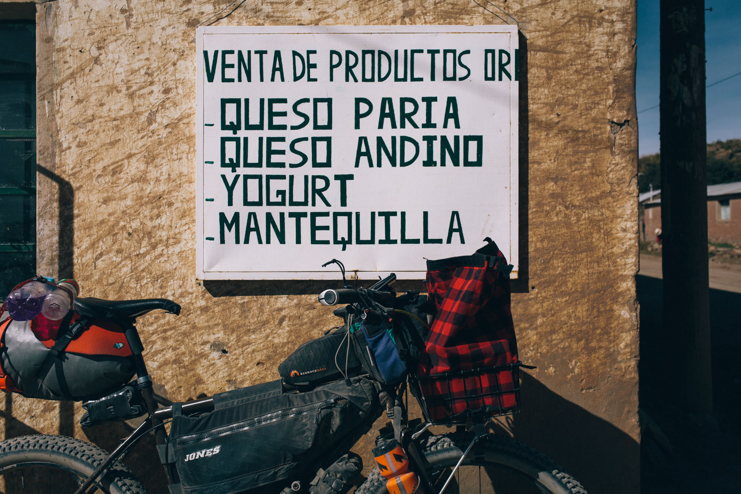
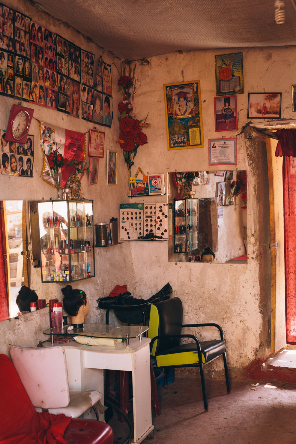
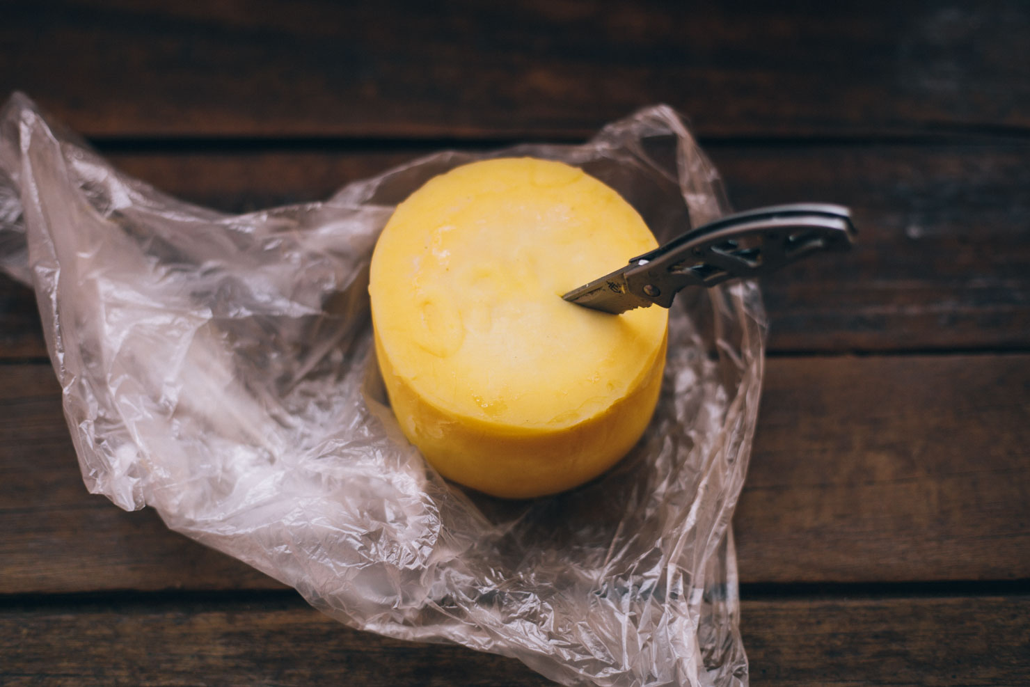
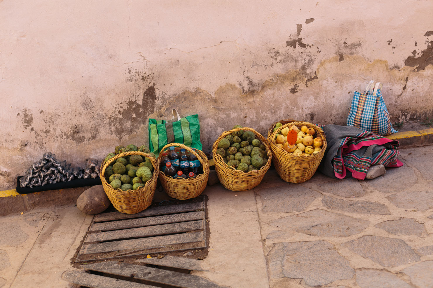
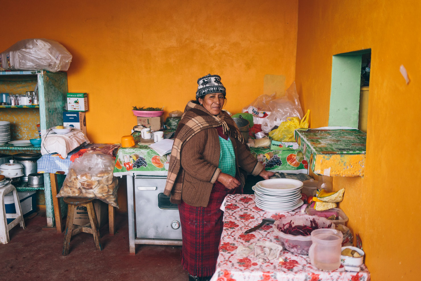
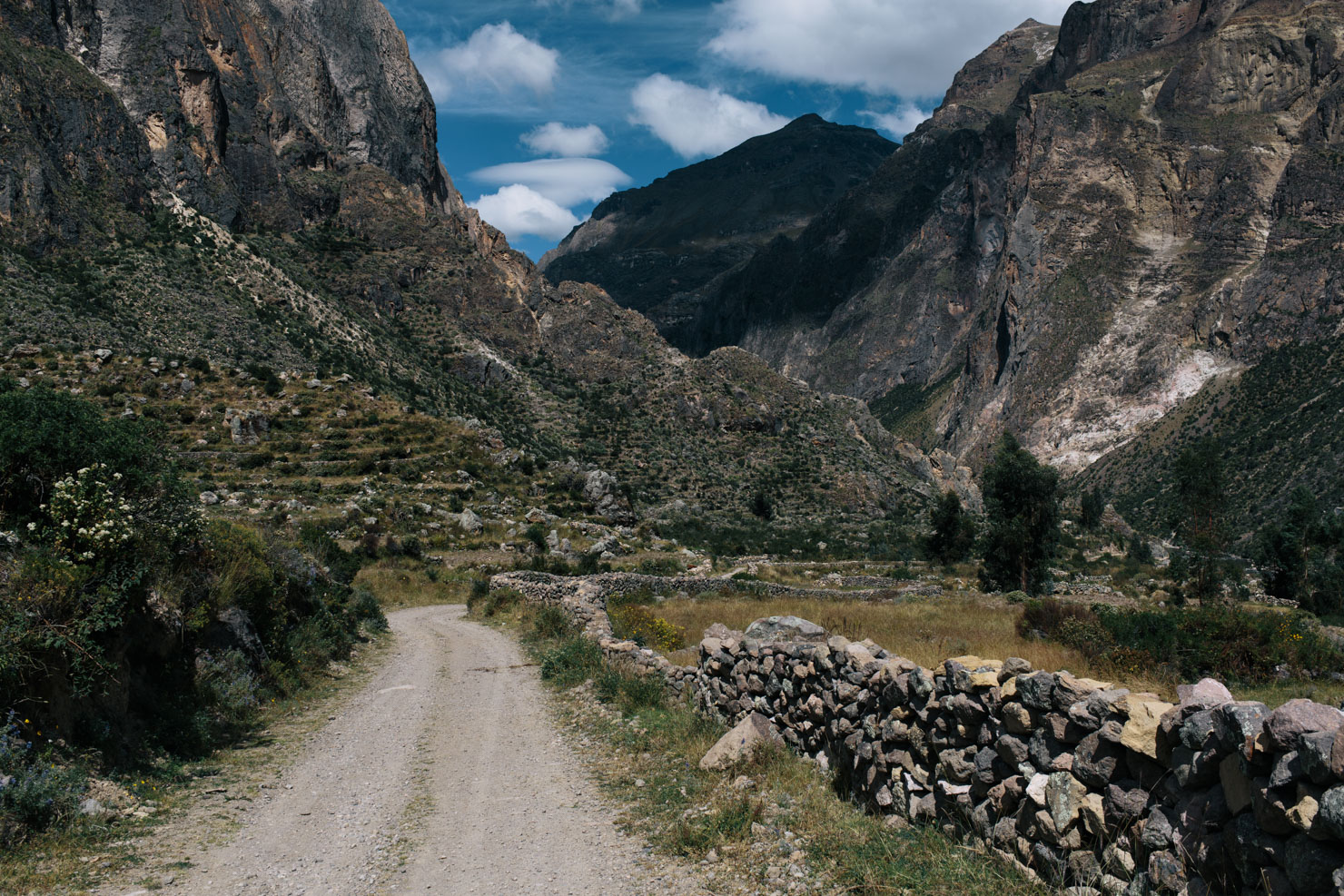
- Cotahuasi makes a good spot for a full resupply (bank but no ATM) roughly midway through the ride; there are lots of dirt road side trips to be enjoyed through the lower parts of canyon, as well as an impressive waterfall.
- Most settlements will have a basic hospedaje of sorts. Larger towns offer a greater selection with sporadic Wifi. See map for locations and recommended options.
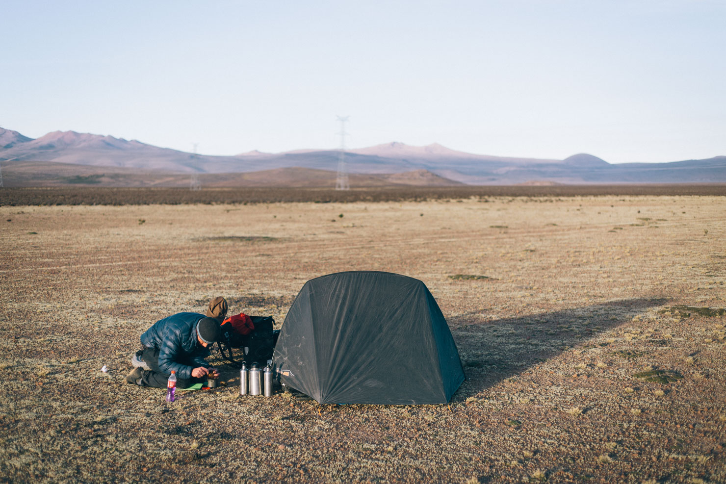
- Wild camping is rarely an issue, just be sure to #leavenotrace.
- The Peruvian mountains are generally a safe place but always camp out of eyesight where possible.
- Water is readily available throughout most of the ride, for the most part; bring a means to purify it and be aware of regional mining activity.
- Water is sparse from the edge of Arequipa to the junction at Canahuas, so stock up as it’s a long climb.
- If riding south, Nahuira is the last water supply until a stream down below the road at 4700m (roughly 1500m vertical of climbing) and a small laguna at the junction at 5100m. There are no tiendas between Nahuira and Caylloma, but plenty of water after the mine.
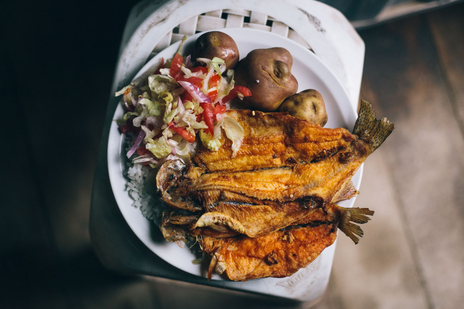
- Capacity to carry 3 days of food is advised, though almost all basic settlements will have simple supplies. If you run out of food, knock and ask to buy some potatoes!
Notes on how best to negotiate the Chilas Mine, updated by Mark Watson on 9/9/2018
“For those riding south, there’s now a gate and cabina as you leave Nahuili, where you have to register before you can continue up the climb. We asked if could pass through the mine at Chilas and were told yes.
Nahuira is the last water supply until a stream down below the road at 4700m (roughly 1500m vertical of climbing) and a small laguna at the junction at 5100m. There were no tiendas between Nahuira and Caylloma, but plenty of water after the mine.
On the descent from the high point we came to a large gate to the mine that was locked – the small pedestrian access gate was not locked so we let ourselves through. Down at Chilas (the mine camp) we were stopped and told the mine was private property and asked how we got through the gate. We explained we were told we could pass through at Nahuira. The person asked for our names then let us continue without saying anything else.”
- The website Andes By Bike is the go-to source of info for the Peruvian Andes and up to date road conditions.
- Check out Ryan Wilson’s fantastic photostory on the Valle de Los Volcanes
- Want to bike and climb Chacachi (6065m)? Check out Philip’s factsheet.
- For a full report and great imagery, see Mark Watson’s blog post.


Terms of Use: As with each bikepacking route guide published on BIKEPACKING.com, should you choose to cycle this route, do so at your own risk. Prior to setting out check current local weather, conditions, and land/road closures. While riding, obey all public and private land use restrictions and rules, carry proper safety and navigational equipment, and of course, follow the #leavenotrace guidelines. The information found herein is simply a planning resource to be used as a point of inspiration in conjunction with your own due-diligence. In spite of the fact that this route, associated GPS track (GPX and maps), and all route guidelines were prepared under diligent research by the specified contributor and/or contributors, the accuracy of such and judgement of the author is not guaranteed. BIKEPACKING.com LLC, its partners, associates, and contributors are in no way liable for personal injury, damage to personal property, or any other such situation that might happen to individual riders cycling or following this route.
Please keep the conversation civil, constructive, and inclusive, or your comment will be removed.