


The Coast Mountains Bikepacking Route, British Columbia
Distance
479 Mi.
(771 KM)Days
14
% Unpaved
92%
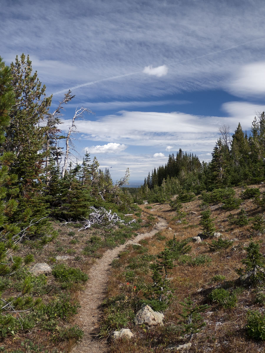
% Singletrack
20%
Total Ascent
52,206'
(15,912 M)High Point
7,450'
(2,271 M)Difficulty (1-10)
9?
- 7Climbing Scale Strenuous109 FT/MI (21 M/KM)
- -Technical Difficulty
- -Physical Demand
- -Resupply & Logistics
Contributed By
Skyler Des Roches
Contributing Editor

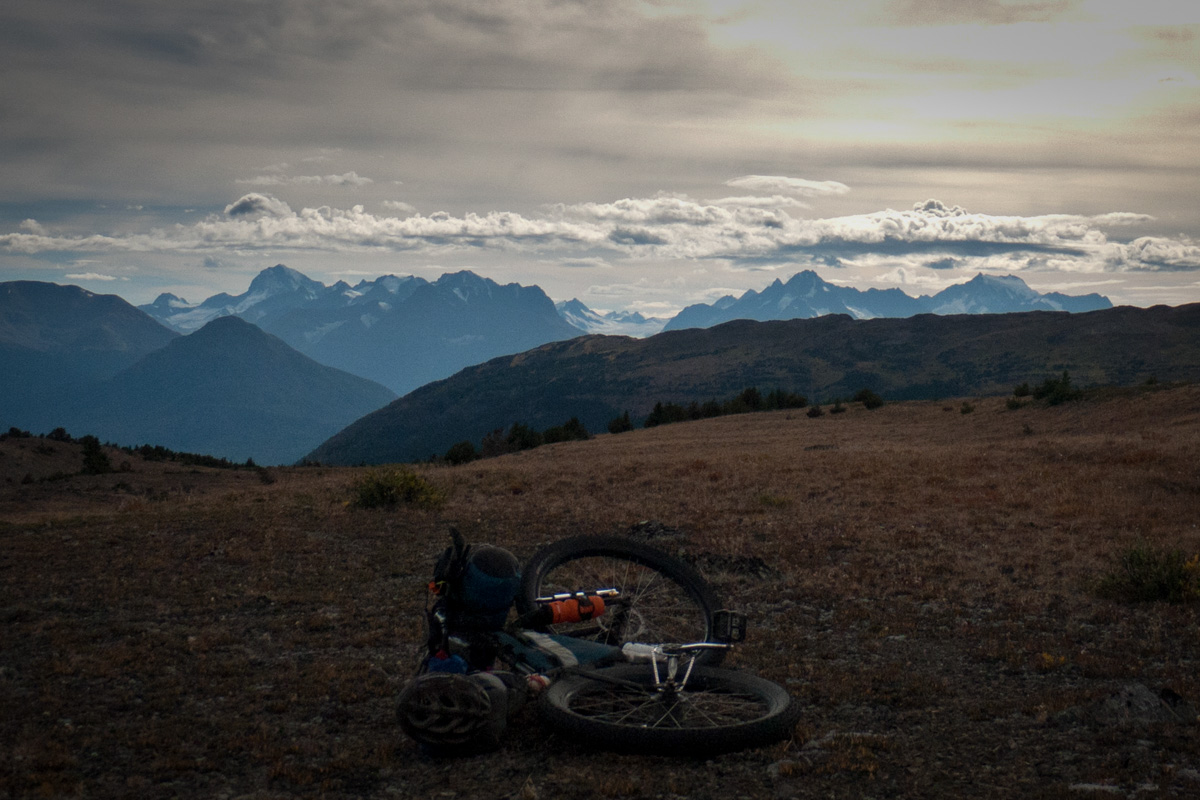
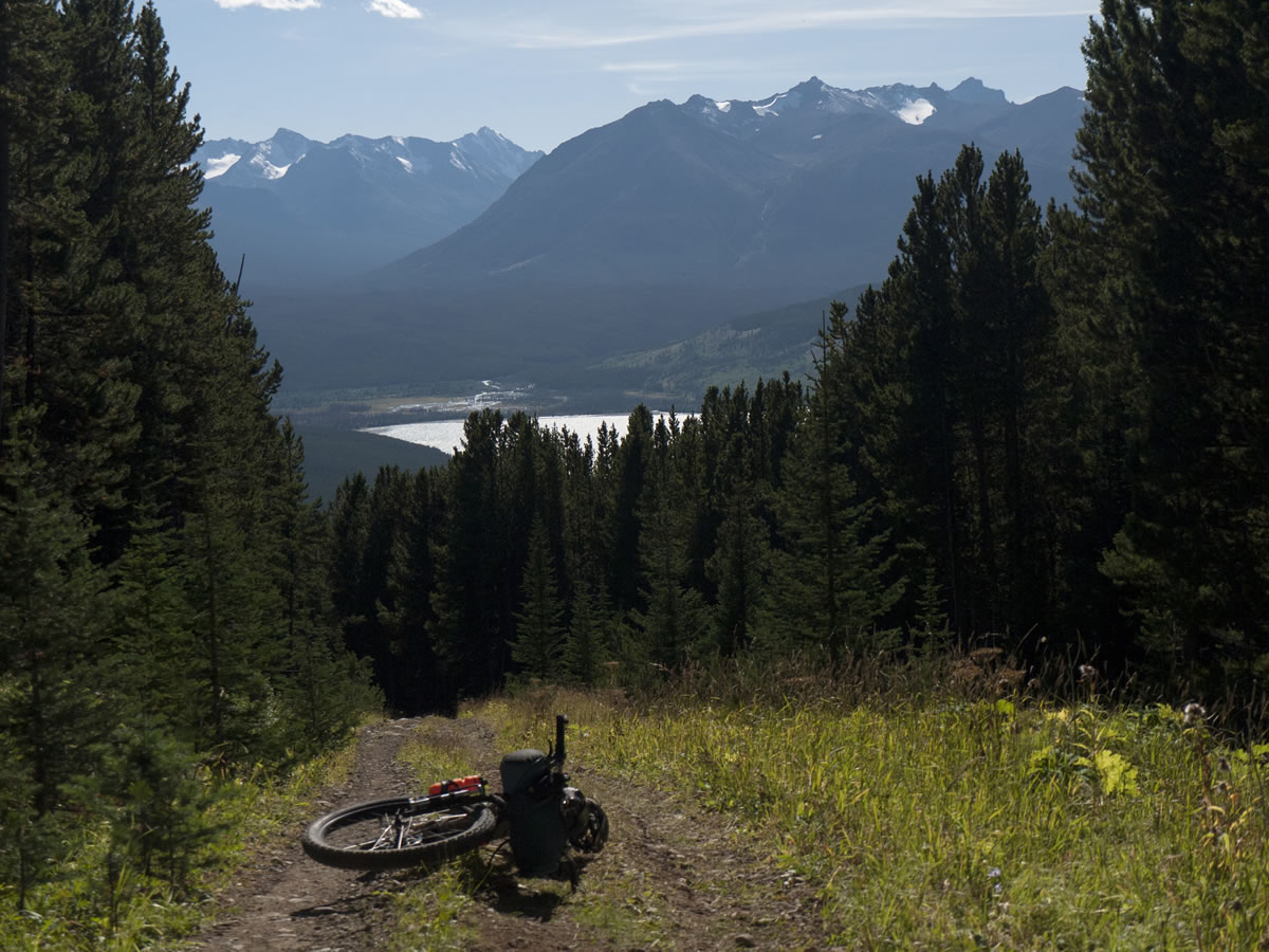
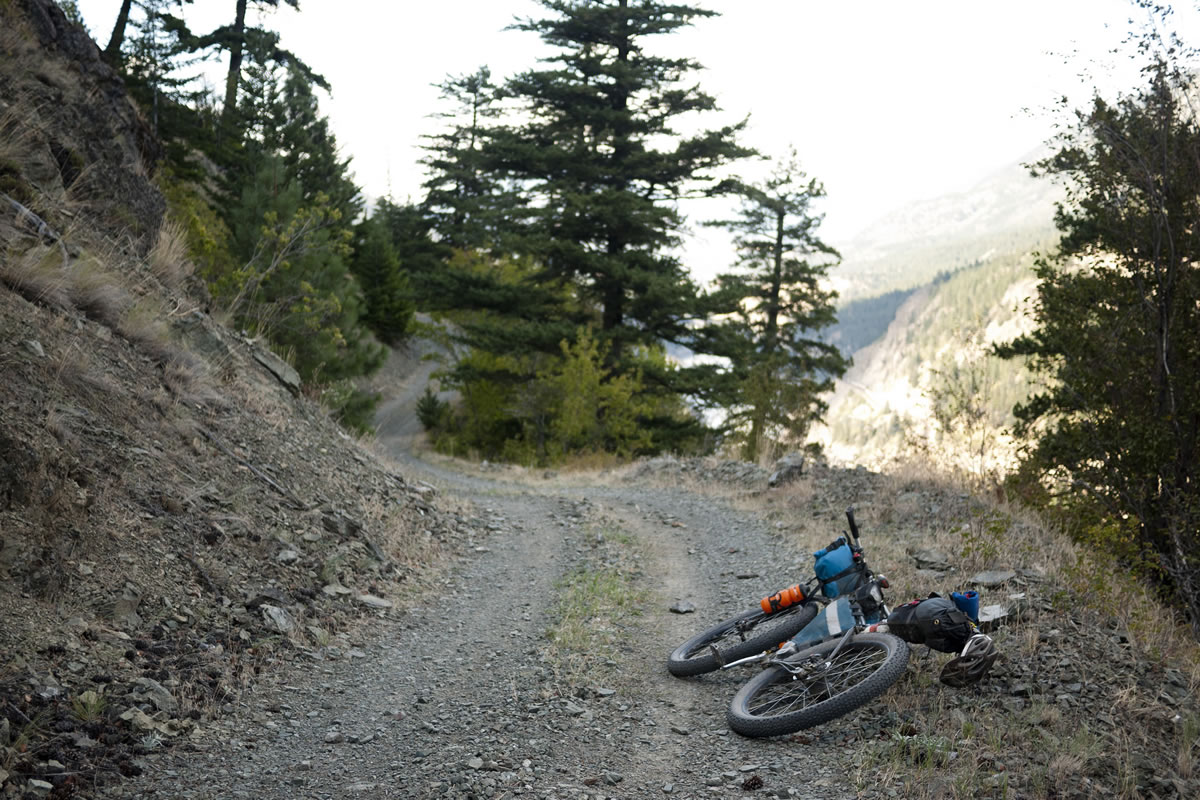
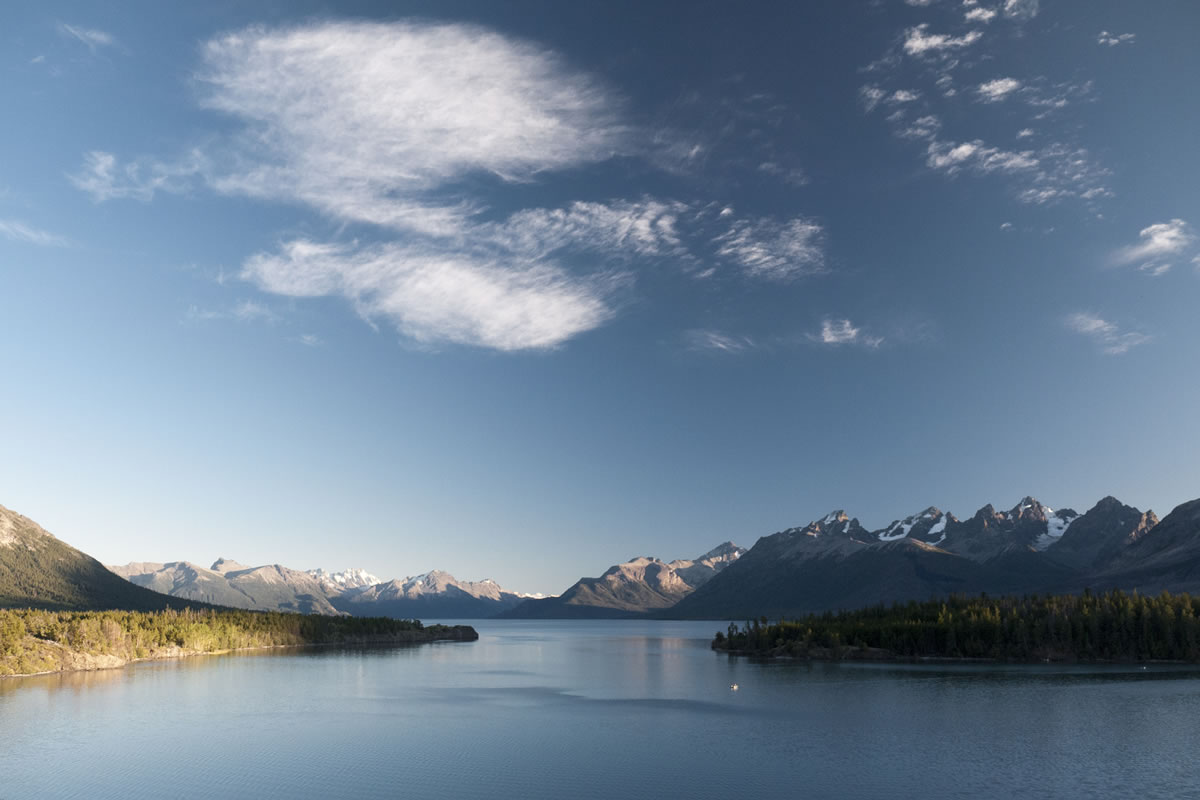
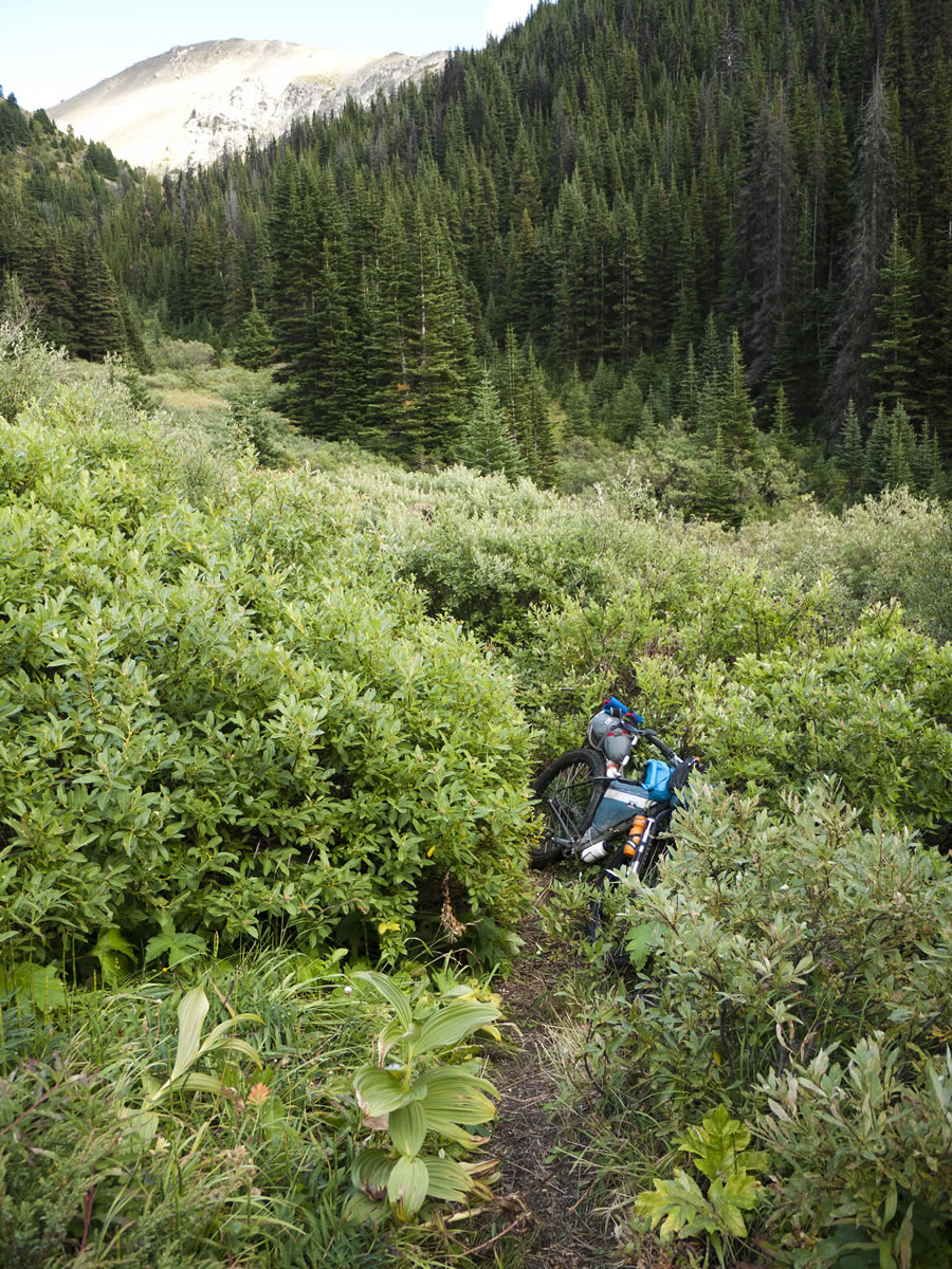
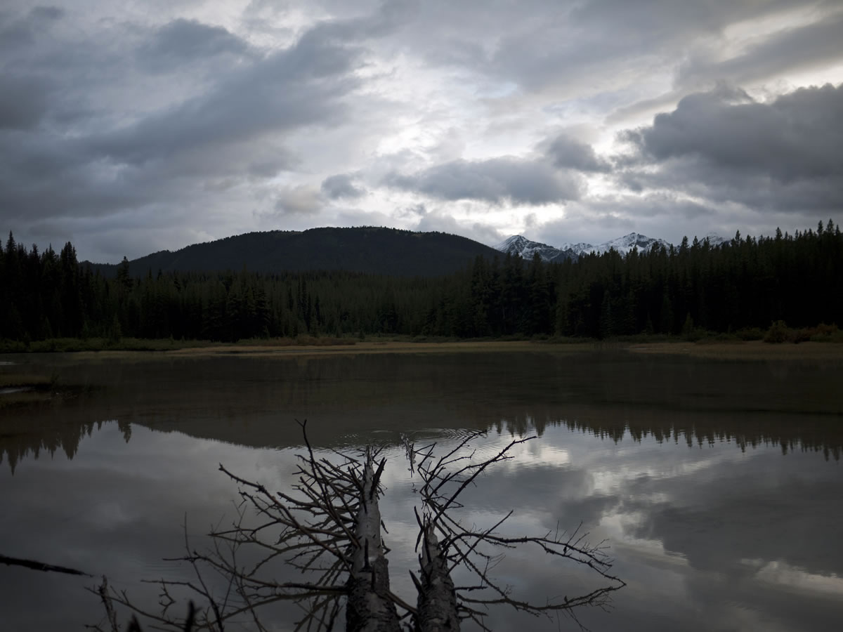
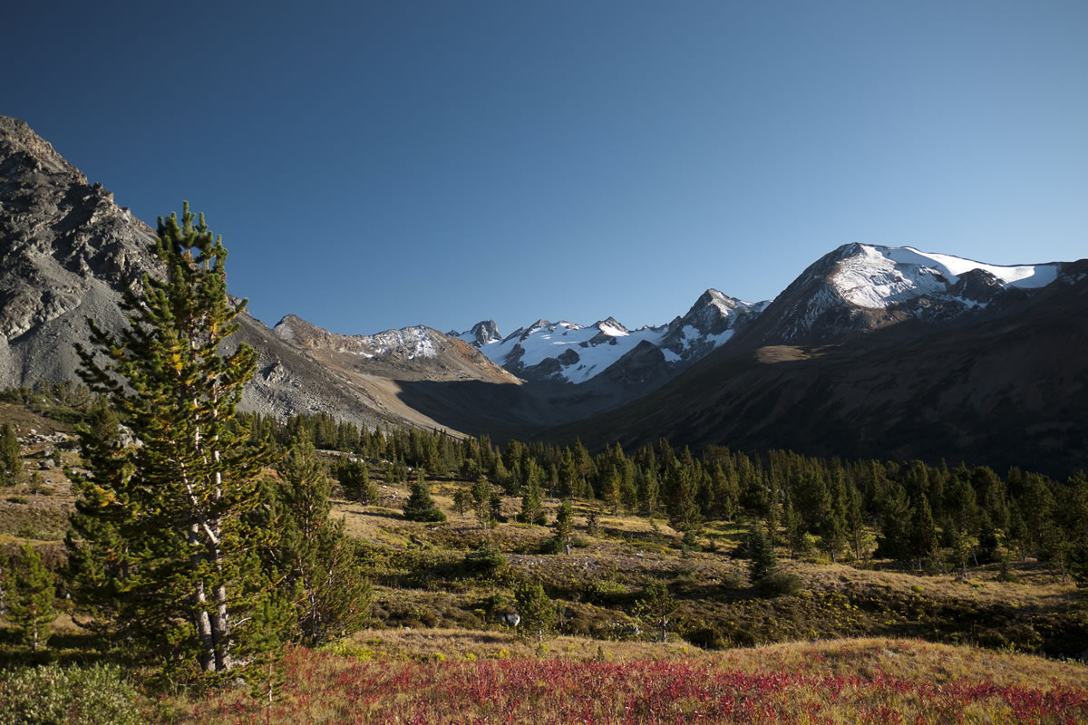
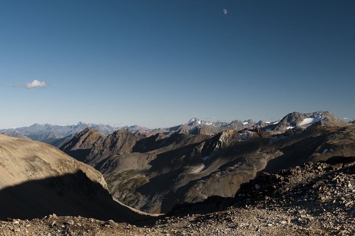
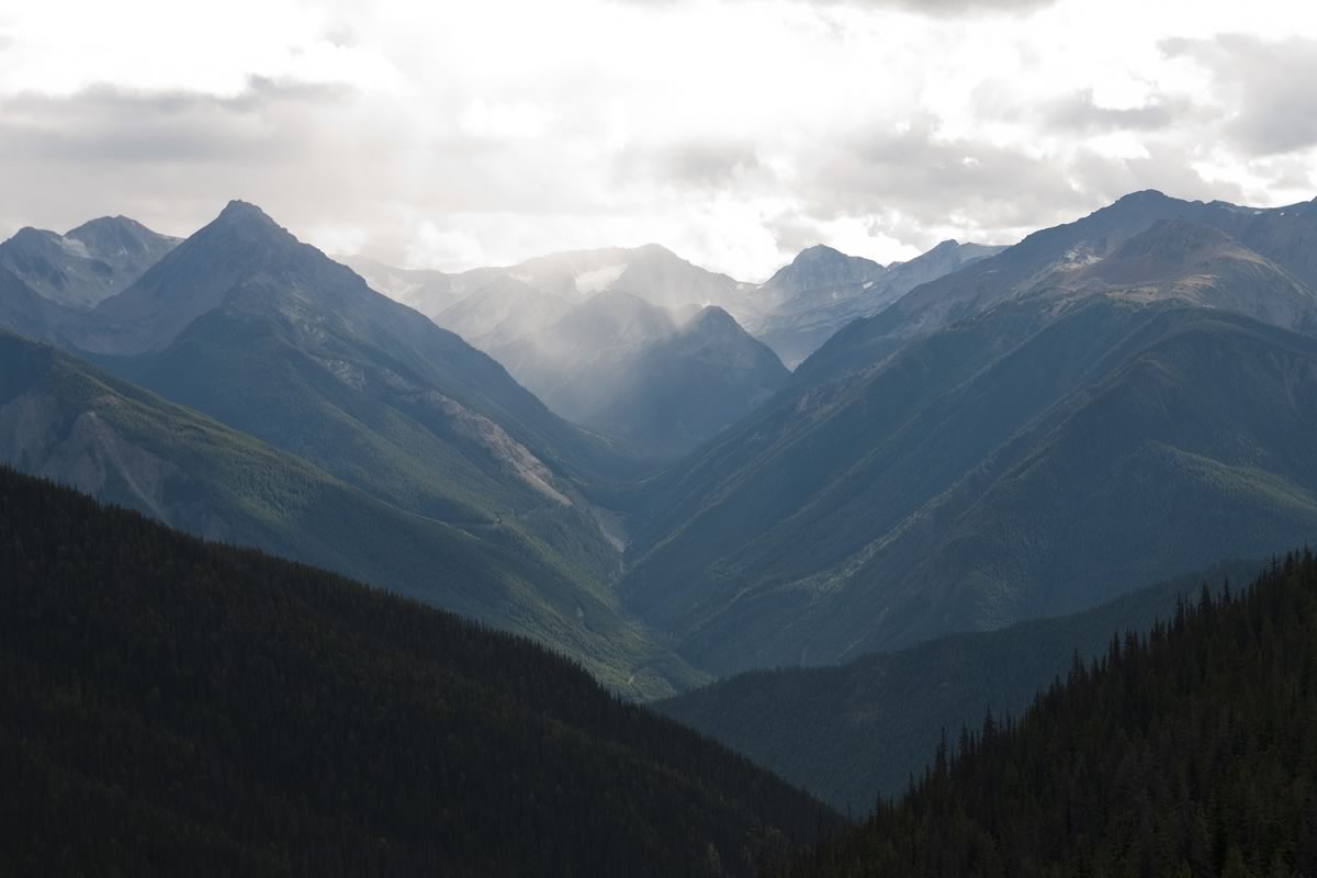
This route connects a series of forest service roads, 4×4 tracks, and horse trails along the drier eastern edge of the cordillera from Harrison Lake, on the edge of Vancouver’s sprawl, to the hamlet of Tatla Lake on Highway 20. It travels from humid coastal lowlands, through dry canyons, high alpine tundra, and into the last slice of Wild West remaining on the continent. All too often, real mountain experiences begin at the end of the road or trail, ruling out travel by bicycle. This route provides a rare treat of pedaling through wild places.
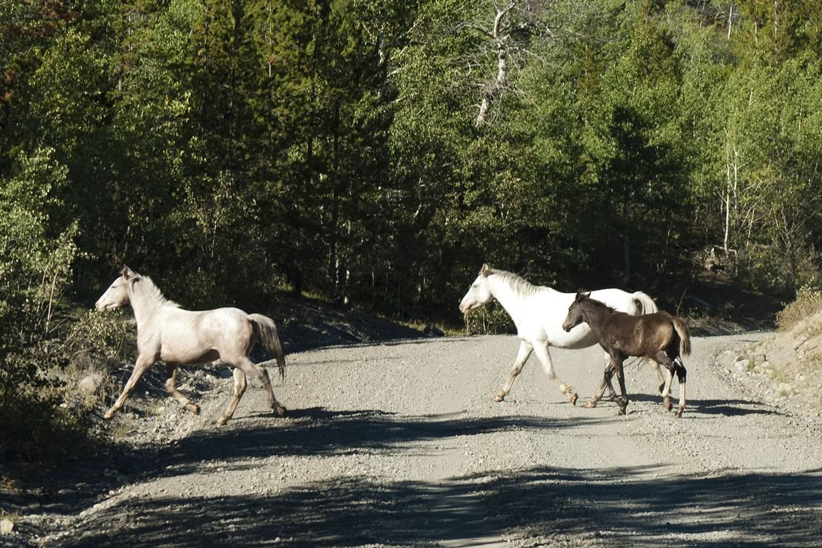
In between stretches of wilderness, there is potential for rich cultural experiences. In late summer in Lillooet, sun shades go up along the Fraser River fishing rocks and are filled with salmon drying in the wind – a millenia-old tradition. Further north, the few cowboys, who make the Chilcotin Mountains their home, live decidedly removed from mainstream Canadian culture. The Xeni Gwet’in of Nemiah Valley, their territory steeped in history in the shadow of Ts’yl-os, wrangle wild horses, ranch and rodeo. The farther one travels from the pavement, the more welcoming the people, and the more striking the “Chilcotin hospitality”.
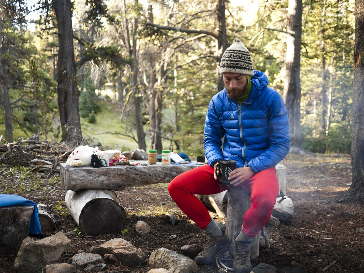
Due to the remoteness of parts of this route, self-sufficiency is essential. A critically broken bike could require a three day walk to the nearest ranch, therefore a back-pack should be considered mandatory gear. With pre-arranged food drops, resupplies are at most four days apart. Otherwise, the only store on this route north of Lillooet is in the native village of Nemiah and carries little more than soft drinks and junk food. Food can be shipped ahead to the post office in Nemiah. General delivery parcels are held for up to two weeks at most post offices in Canada.


Submit Route Alert
As the leading creator and publisher of bikepacking routes, BIKEPACKING.com endeavors to maintain, improve, and advocate for our growing network of bikepacking routes all over the world. As such, our editorial team, route creators, and Route Stewards serve as mediators for route improvements and opportunities for connectivity, conservation, and community growth around these routes. To facilitate these efforts, we rely on our Bikepacking Collective and the greater bikepacking community to call attention to critical issues and opportunities that are discovered while riding these routes. If you have a vital issue or opportunity regarding this route that pertains to one of the subjects below, please let us know:
Highlights
Must Know
Camping
Food/H2O
- Seeing Grizzlies at the outflow of Chilko Lake in late summer (salmon spawning season)
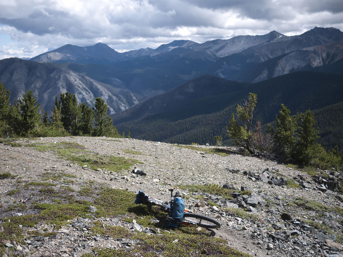
- The view from the top of the Potato Range
- The trail up Gun Creek and down from Warner Pass
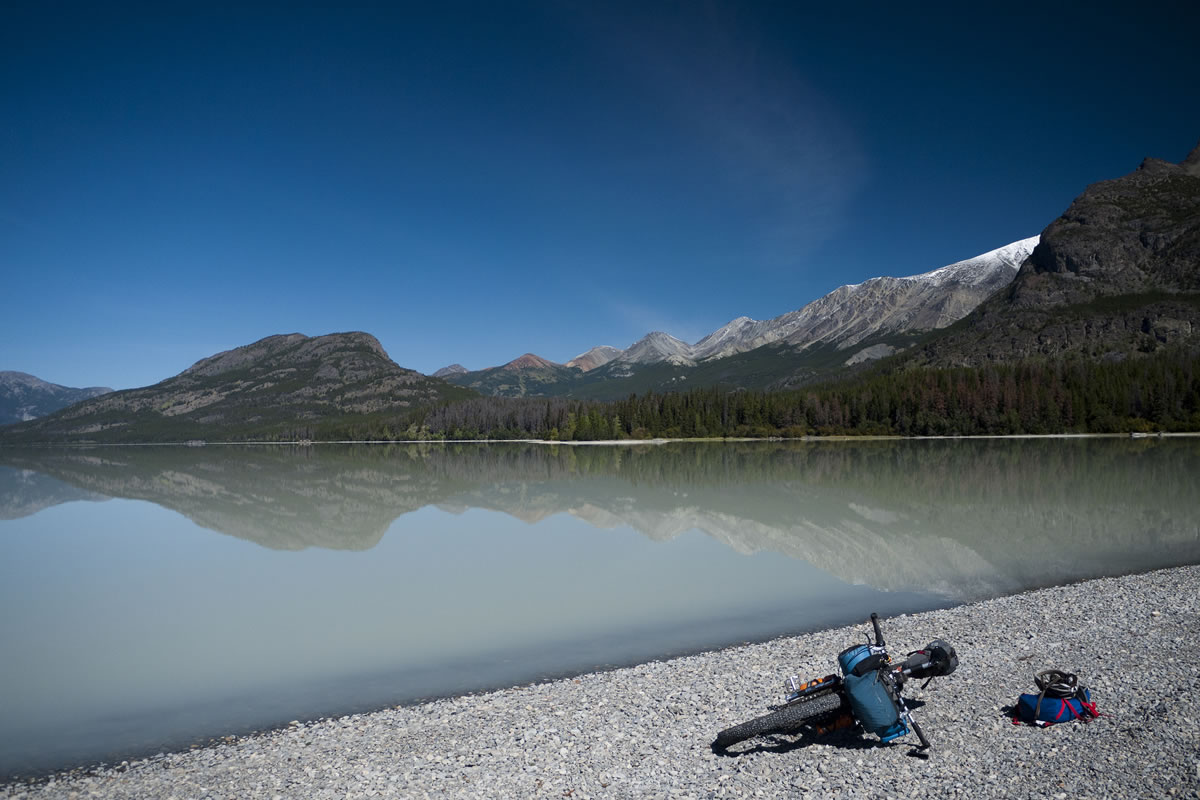
- Chilko Lake
- The complete absence of cars on most of the route
- Navigating this route requires maps.
- The Backroads Mapbooks (two books required) make the best reference for planning this route.
- GPS maps that cover this area are the Backroads Mapbook GPS Map, Garmin Topo Canada, and Ibycus Map. The former has the most up-to-date information on small roads, but is often inaccurate on trail locations. The later, which is the only one that can be legally obtained for free, is a composite of 1:50,000 Canadian government topographic maps, which means it has not been updated since the 1980s. The Garmin option likely offers the best routeability, with information quality somewhere in between the other two.
- An accurate trail map is available for the trail network between Tyaughton Lake and Warner Pass from Trail Ventures (can be bought at Mountain Equipment Co-op in Vancouver, or at The Bike Co. in Pemberton). Expect to get lost in the Potato Range.
- This is bear country. Make noise to avoid an encounter. Carry 14m of 3mm cord in order to hang your food high in a tree at night. Carrying bear spray as a defense weapon, in case of a confrontation, is recommended (and is more effective than a firearm).
- This route crosses First Nations land. Don’t assume you have a right to be anywhere. Be respectful, and get permission.
- There are scheduled flights to Vancouver from Anahim Lake, 90km north of Tatla, and Williams Lake.
- There are abundant wild camp spots along this route, as well as numerous established Forest Service.
- Recreational Sites (free campgrounds with pit toilets and tables).
- The two provincial park campgrounds on Chilko Lake, at the Nemiah, and at the outflow, are $11 per night per site.
- There are stores selling food in Harrison Hot Springs, Lytton, Lillooet, Nemiah, and Tatla Lake.
- Buy-Low in Lillooet is the only large super market stoked with a variety of dried foods.
- The Nemiah general store has very little in the way of staple foods. Don’t expect to find more than rice, Kraft Dinner, cookies, and candy. If you’re lucky there might be some tuna and peanut butter.
- There is also a general store, with limited hours, in Goldbridge, about 12km off this route.
- Nemiah has a post office to which one could ship supplies. Most post offices in Canada will hold ‘general delivery’ mail for up to two weeks.
- The folks who live in the area around Chilko Lake generally travel to Williams Lake every few weeks to buy food. With sufficient notice, one might be able to have some of more easy-going lodge owners add a few things to their grocery lists to sell later. To avoid a side-trip to Goldbridge, perhaps a similar arrangement could be made with the resorts near Tyaughton Lake.
- This route travels past Tyax Wilderness Resort (Tyax Adventures) and Chilcotin Holidays, near Goldbridge, Taseko Lake Lodge at the north end of Taseko Lake, Tsuniah Lodge (serviced by air), Chilko River Lodge, Bear Lodge, Chilko Lake Lodge, and the Bracewell’s Wilderness Lodge around Chilko Lake.


Terms of Use: As with each bikepacking route guide published on BIKEPACKING.com, should you choose to cycle this route, do so at your own risk. Prior to setting out check current local weather, conditions, and land/road closures. While riding, obey all public and private land use restrictions and rules, carry proper safety and navigational equipment, and of course, follow the #leavenotrace guidelines. The information found herein is simply a planning resource to be used as a point of inspiration in conjunction with your own due-diligence. In spite of the fact that this route, associated GPS track (GPX and maps), and all route guidelines were prepared under diligent research by the specified contributor and/or contributors, the accuracy of such and judgement of the author is not guaranteed. BIKEPACKING.com LLC, its partners, associates, and contributors are in no way liable for personal injury, damage to personal property, or any other such situation that might happen to individual riders cycling or following this route.
Please keep the conversation civil, constructive, and inclusive, or your comment will be removed.