


The Chama Charmer, New Mexico
Distance
119 Mi.
(192 KM)Days
3
% Unpaved
75%
% Singletrack
40%
% Rideable (time)
97%
Total Ascent
11,176'
(3,406 M)High Point
11,050'
(3,368 M)Difficulty (1-10)
7.5?
- 6Climbing Scale Moderate94 FT/MI (18 M/KM)
- -Technical Difficulty
- -Physical Demand
- -Resupply & Logistics
Contributed By

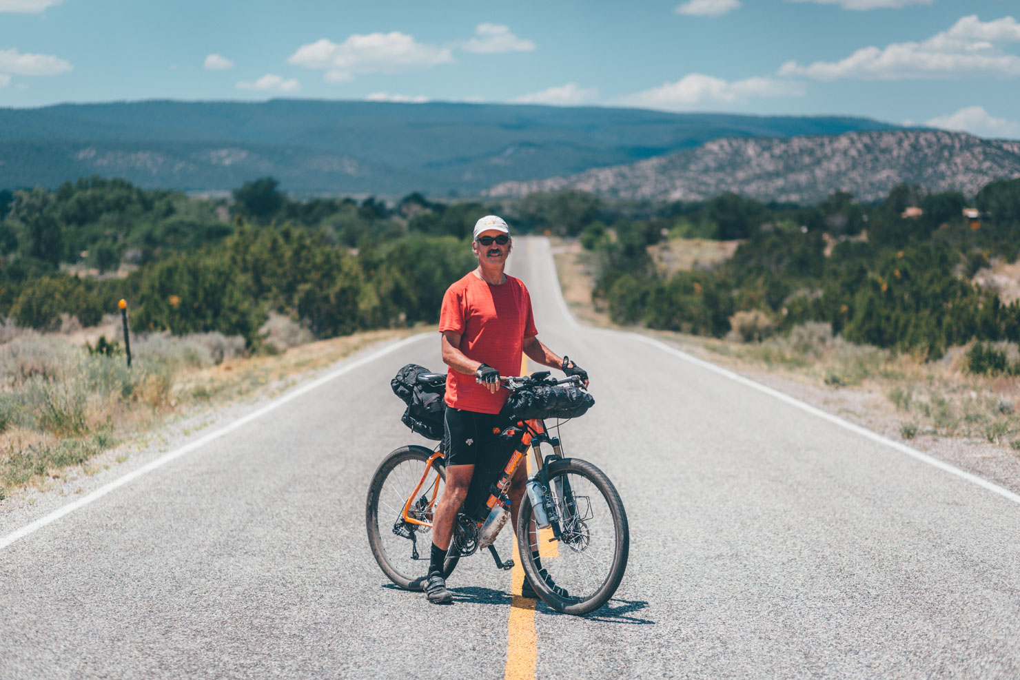
Cass Gilbert
Contributing Editor
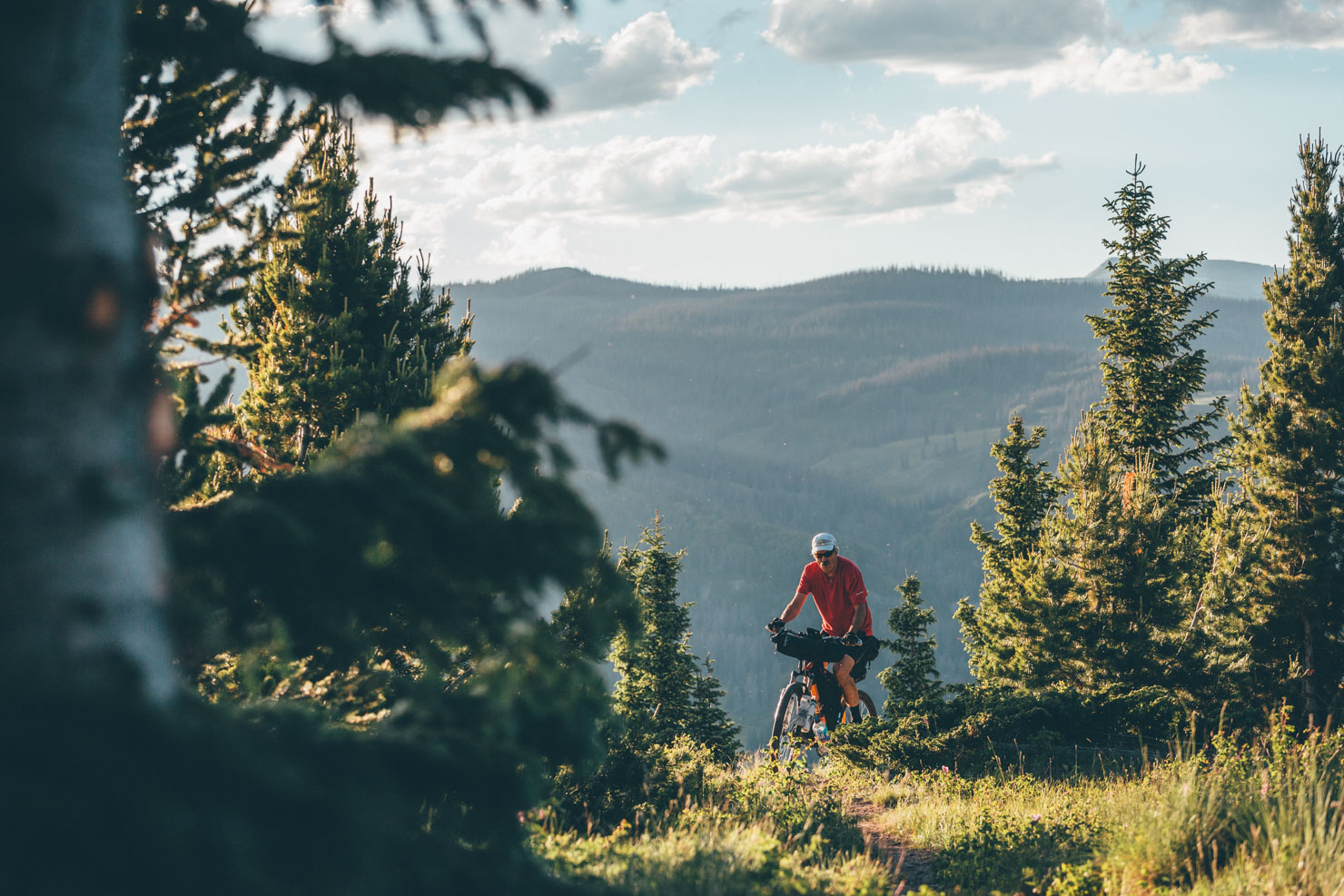
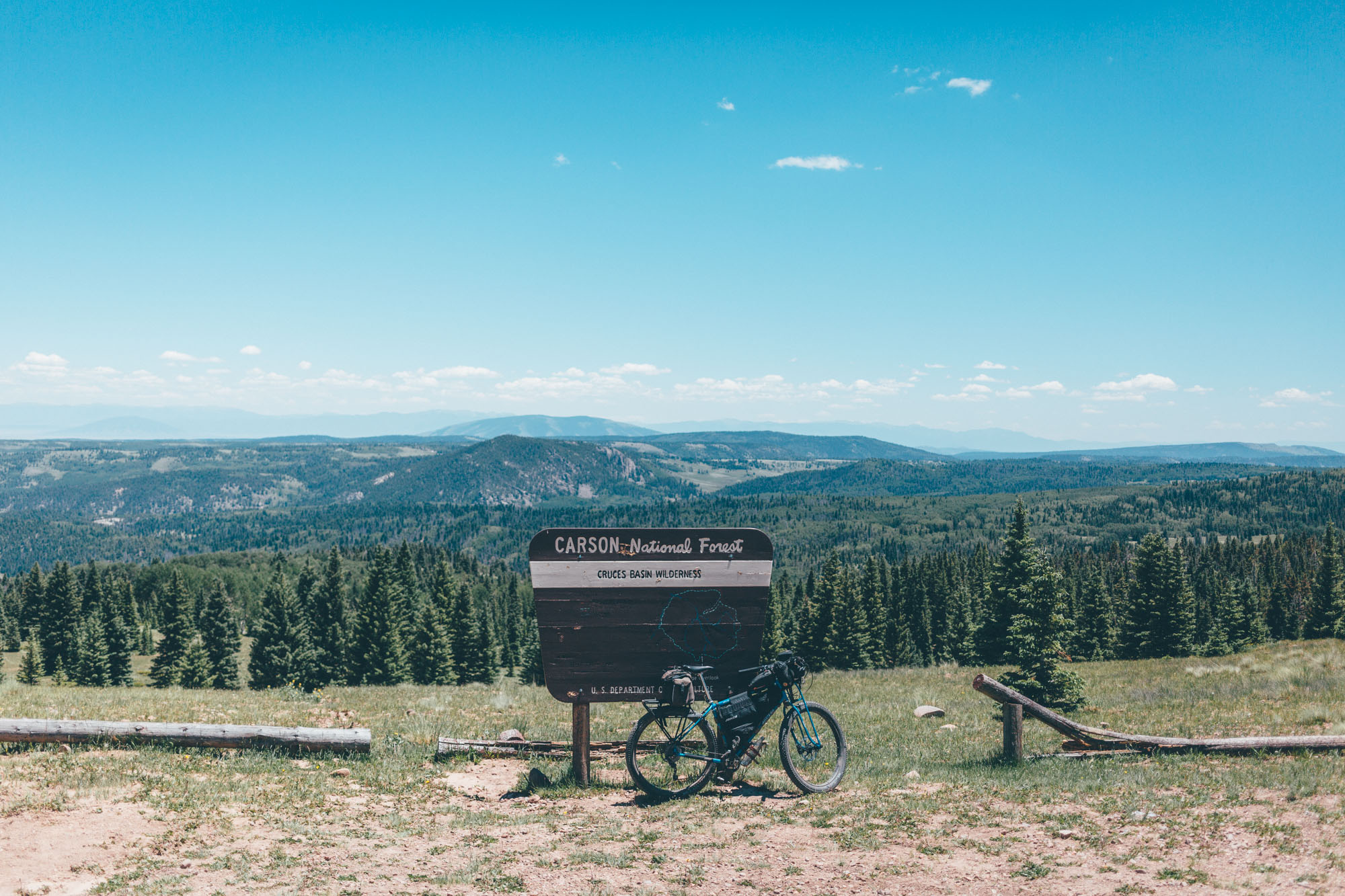
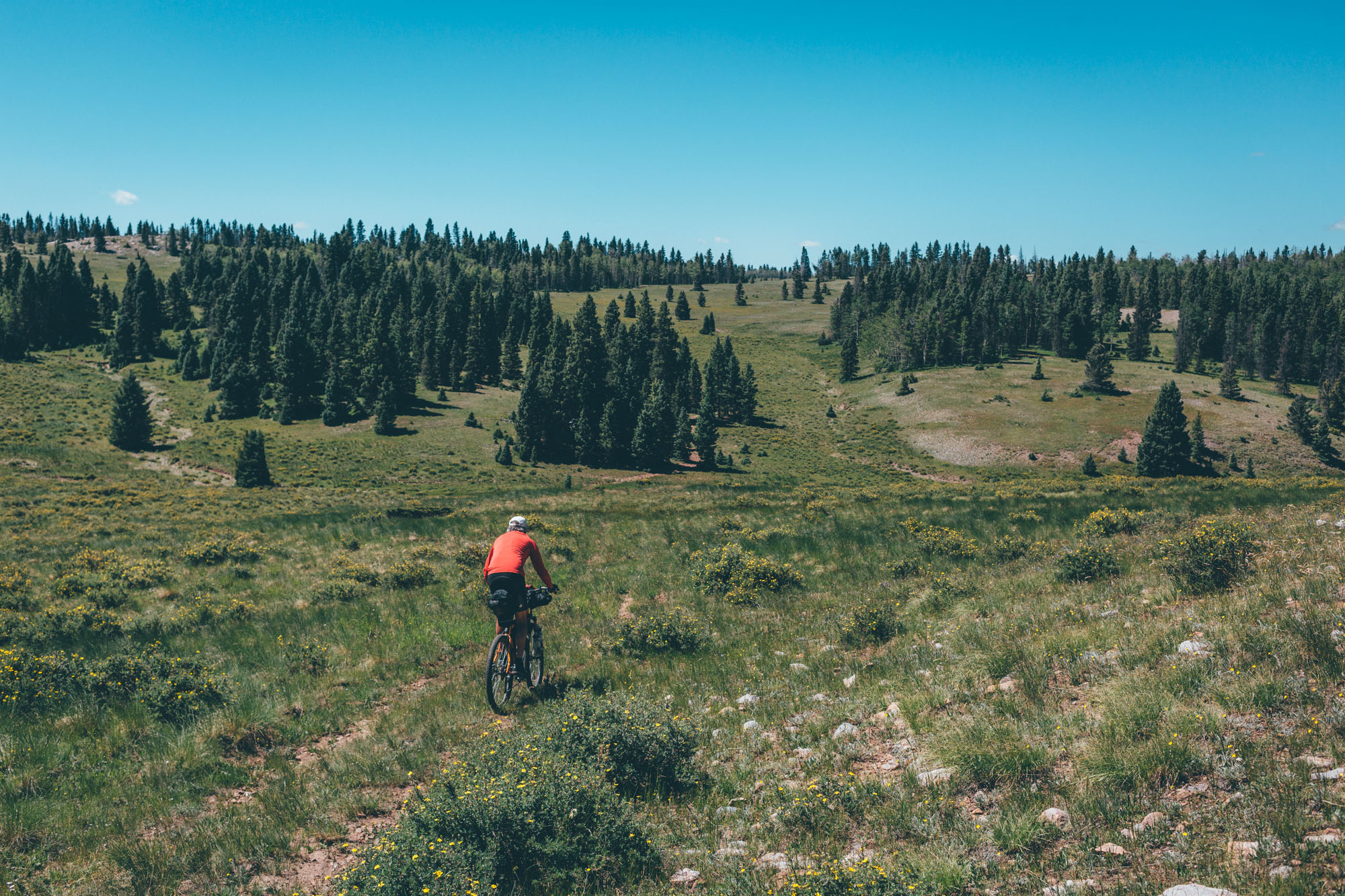
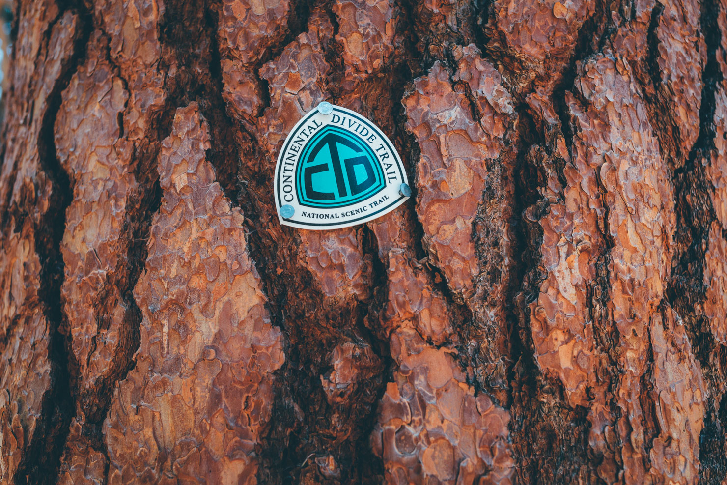
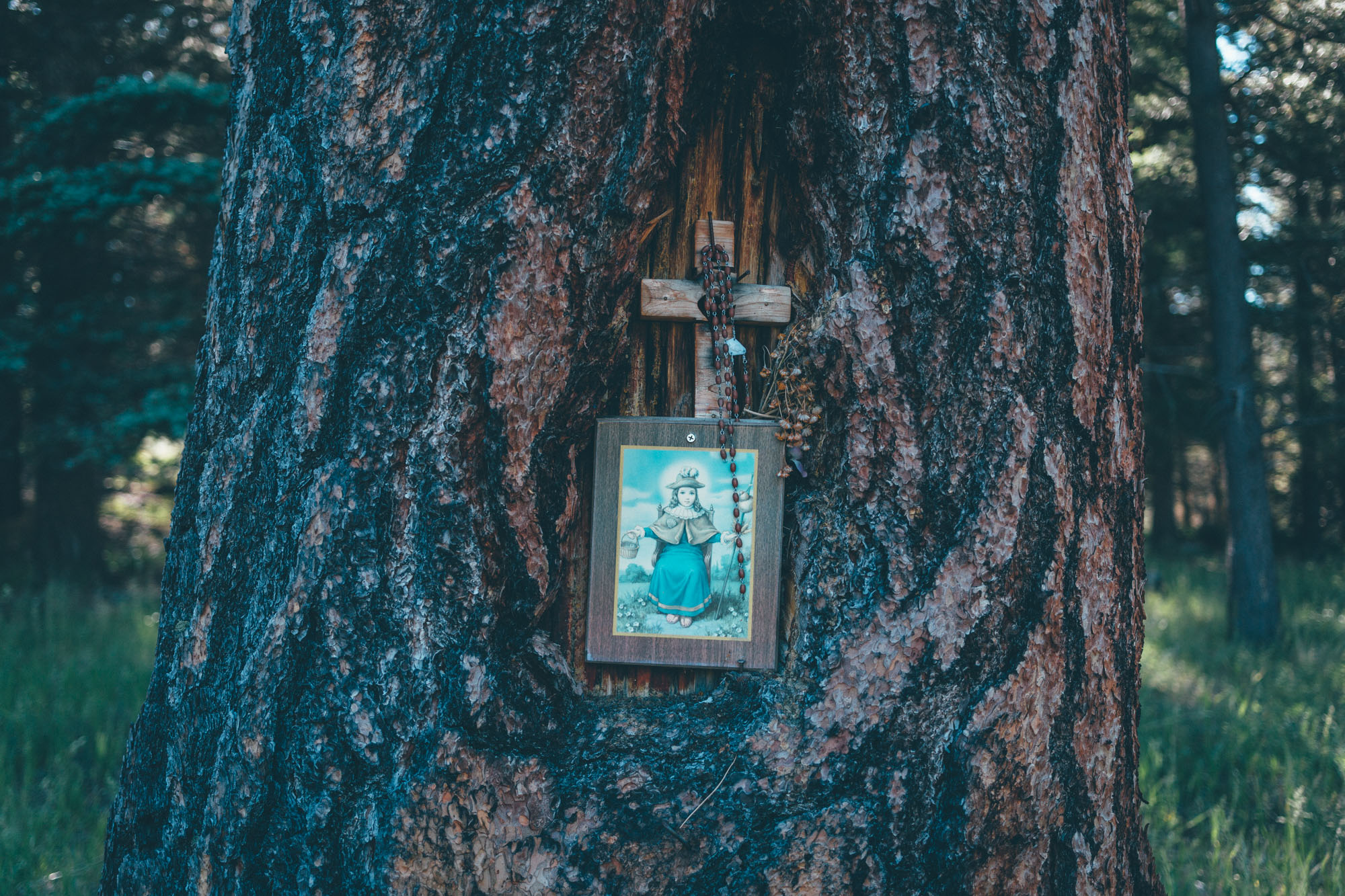
The Chama Charmer makes an excellent long weekend escape and showcases some of the best backcountry singletrack in the area. The ride connects Cumbres Pass, on the Colorado border, with Ojo Caliente, a hot spring deemed sacred by Native Americans in Northern New Mexico. Running from the edge of the San Juan National Forest into the Carson National Forest, it skirts around the Cruces Basin Wilderness, following the Continental Divide Trail much of the way. As such, please be especially considerate when encountering hikers.
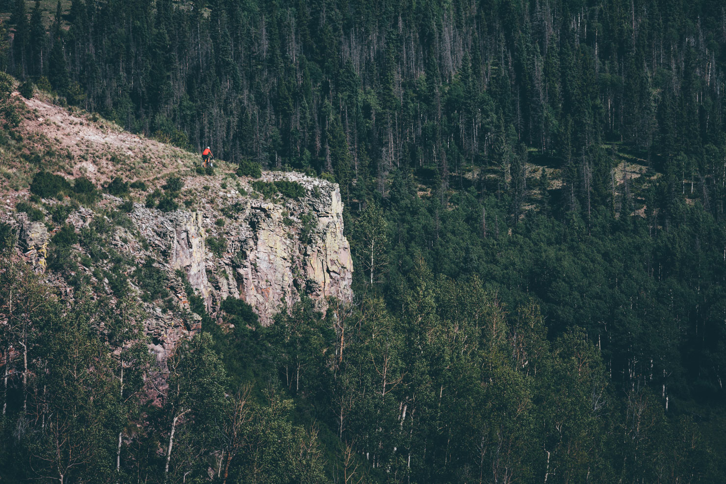
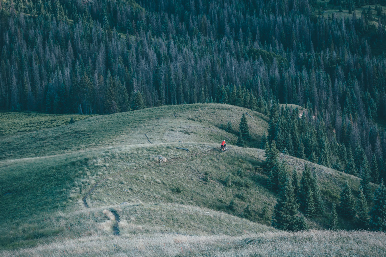
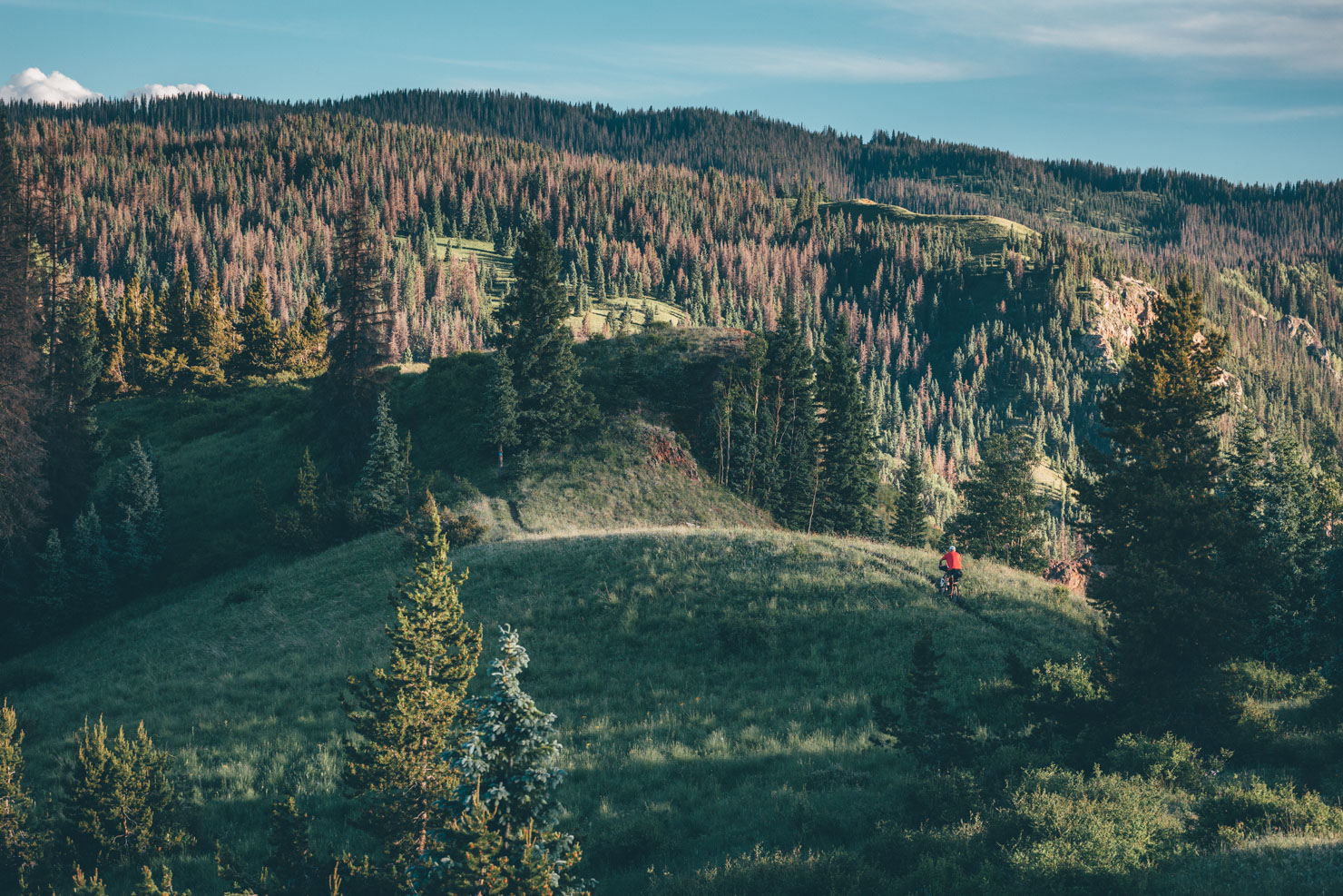
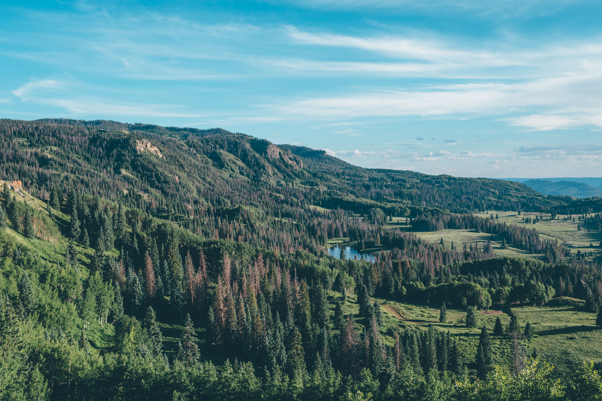
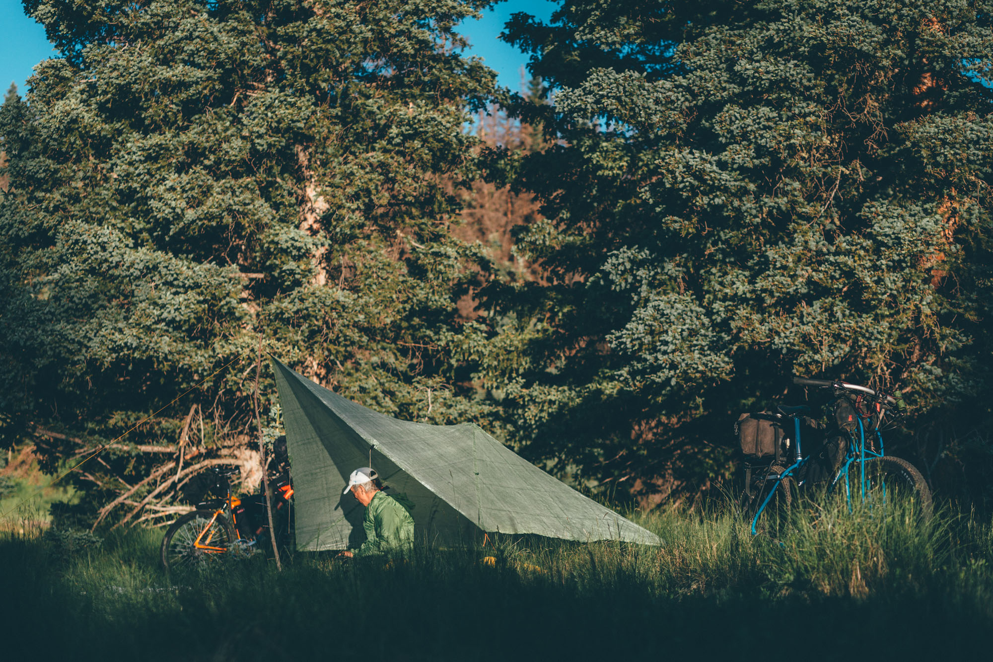
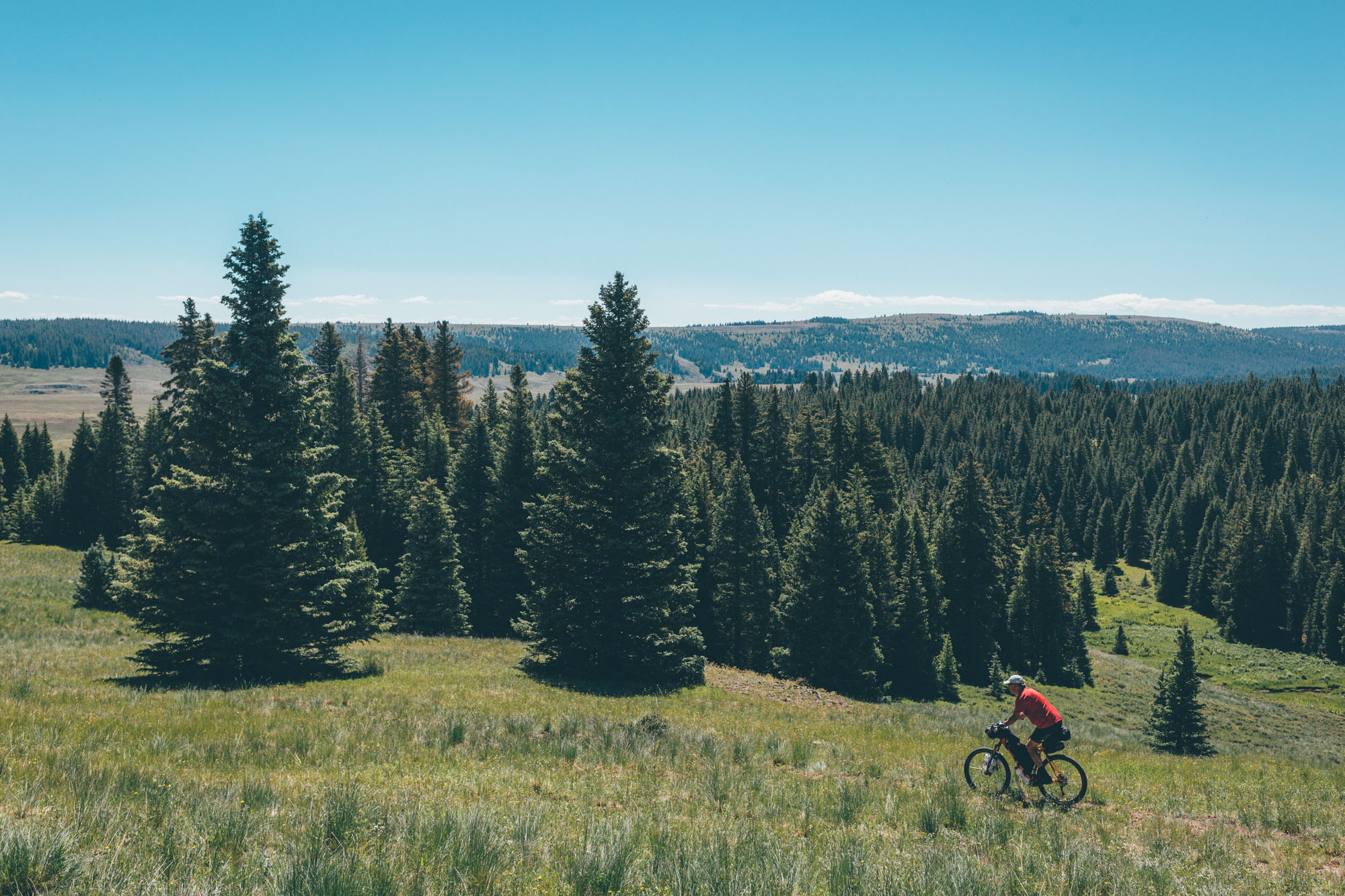
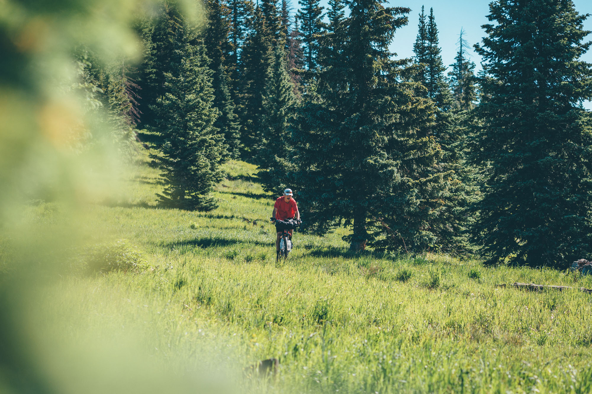
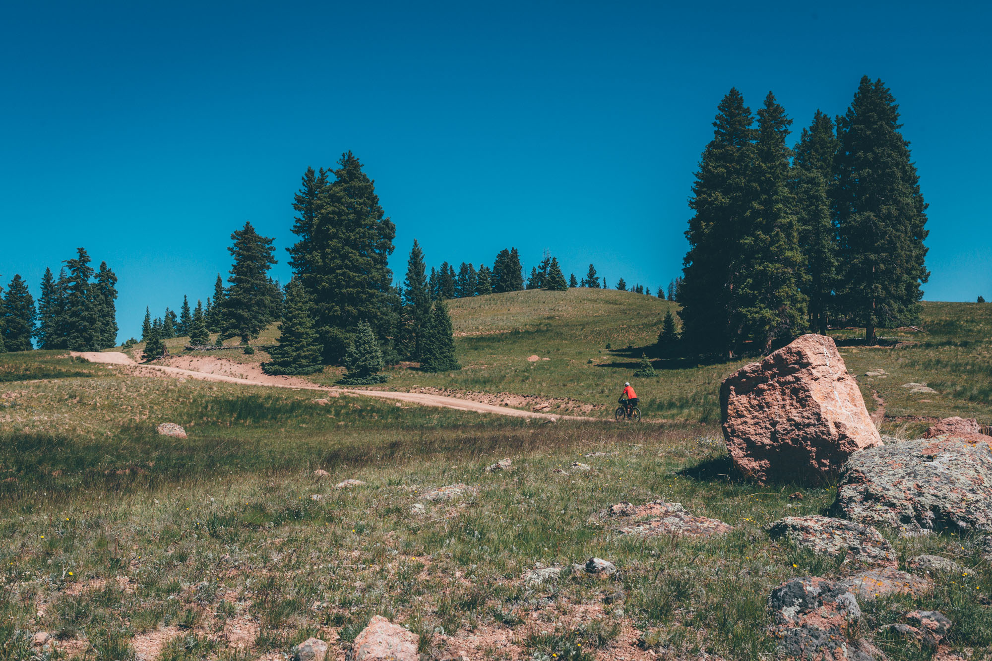
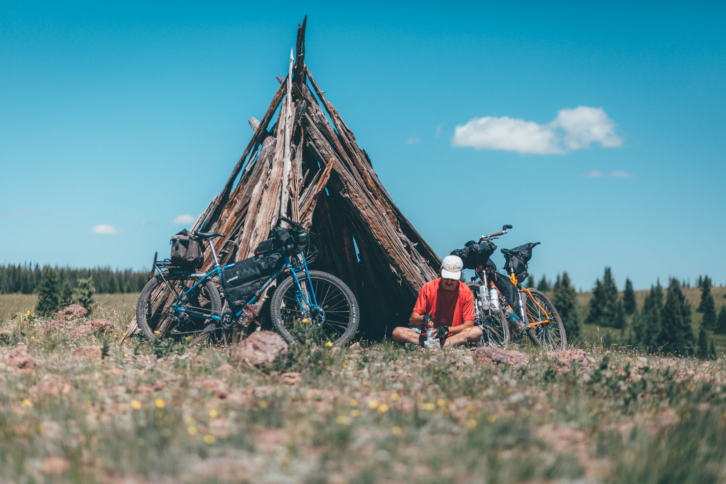
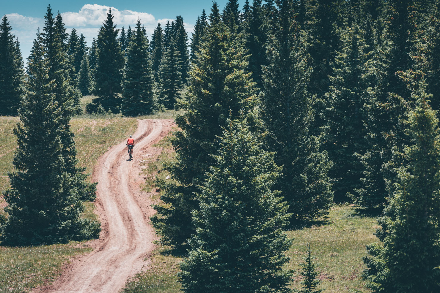
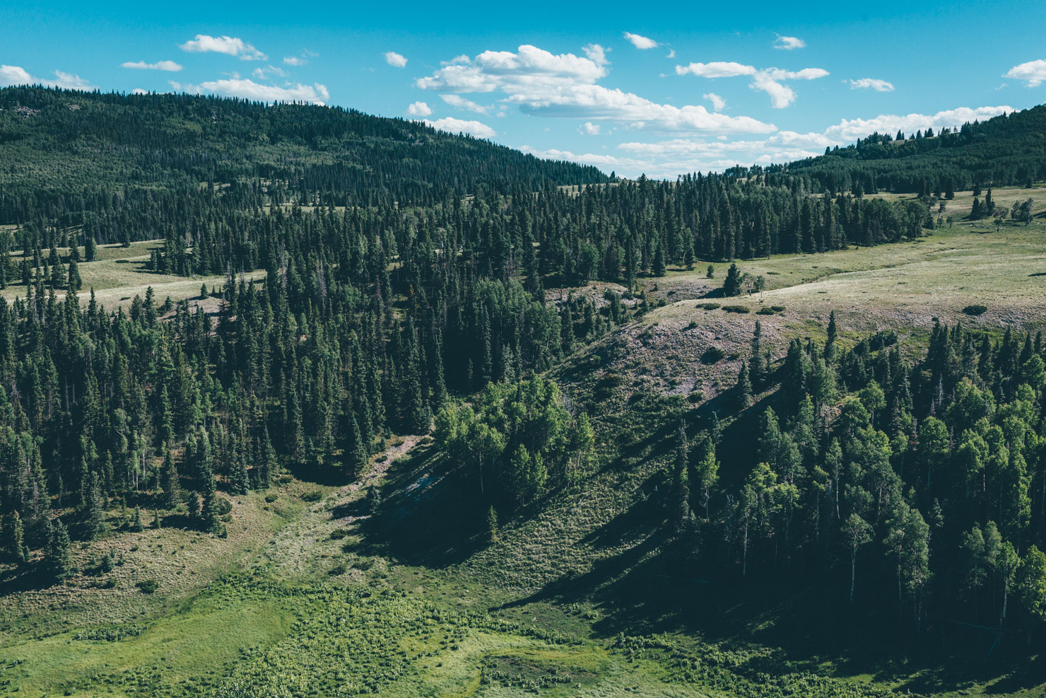
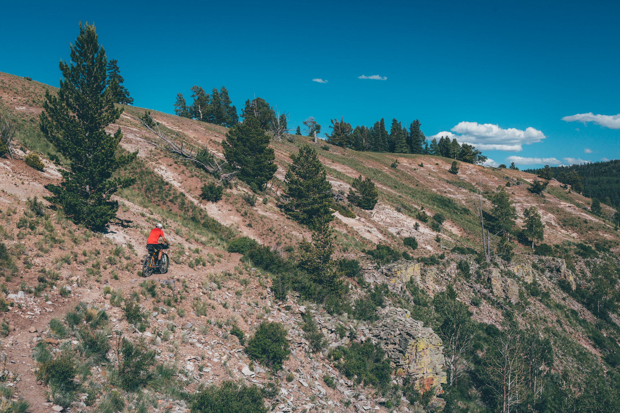
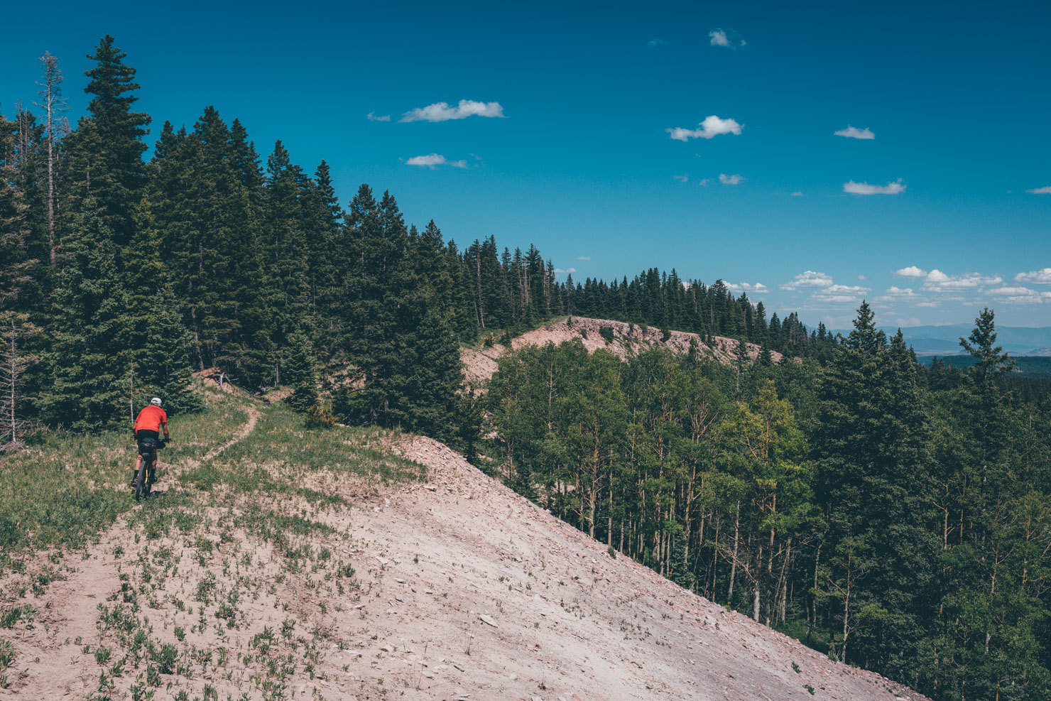
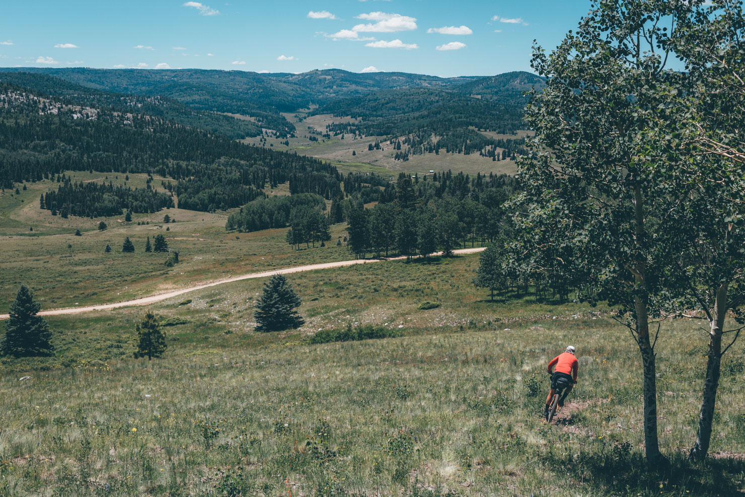
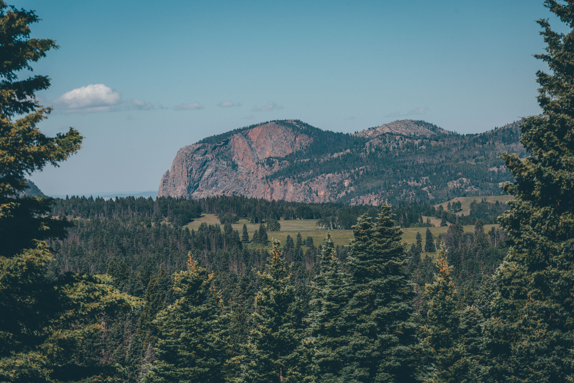
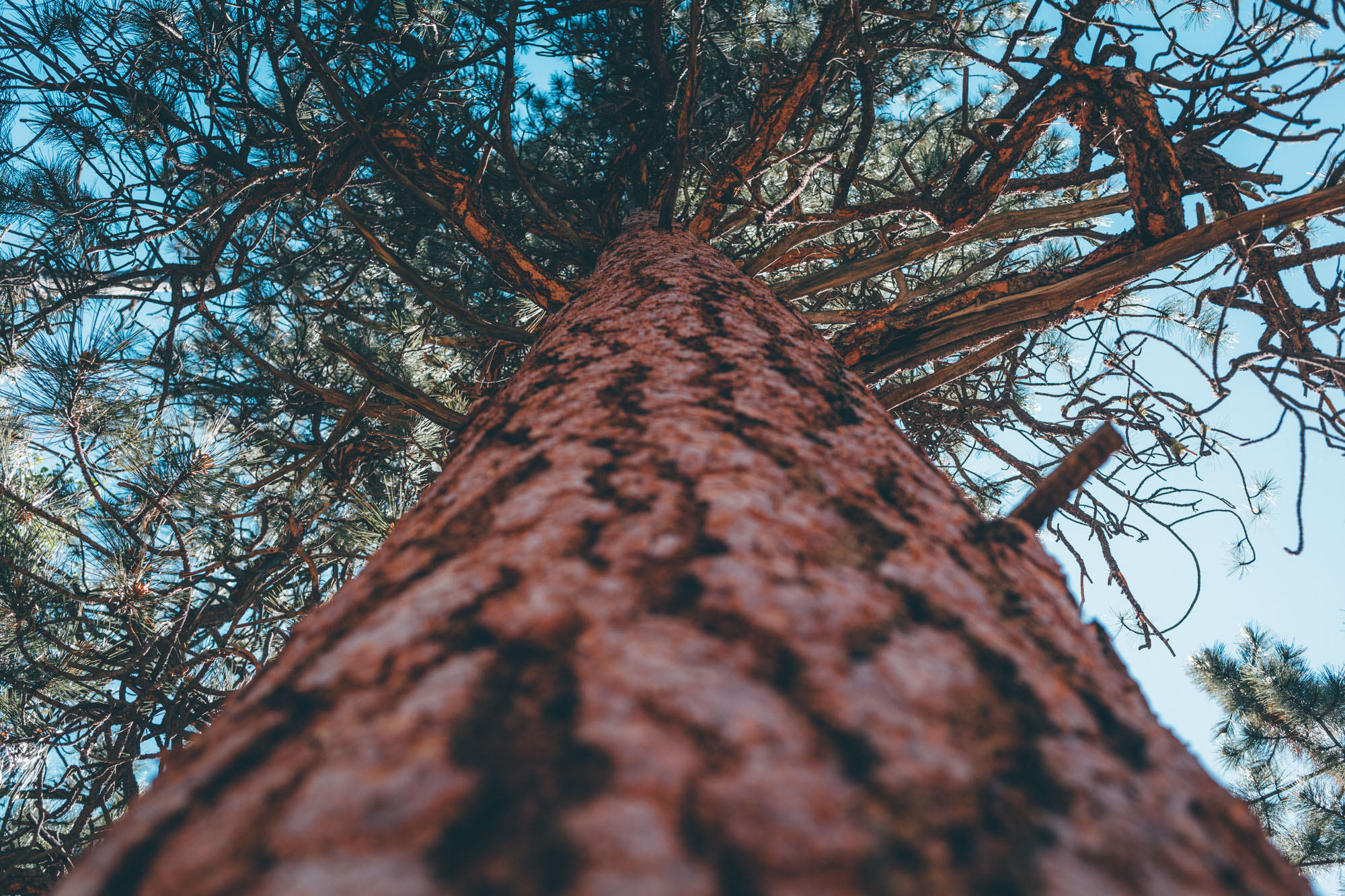
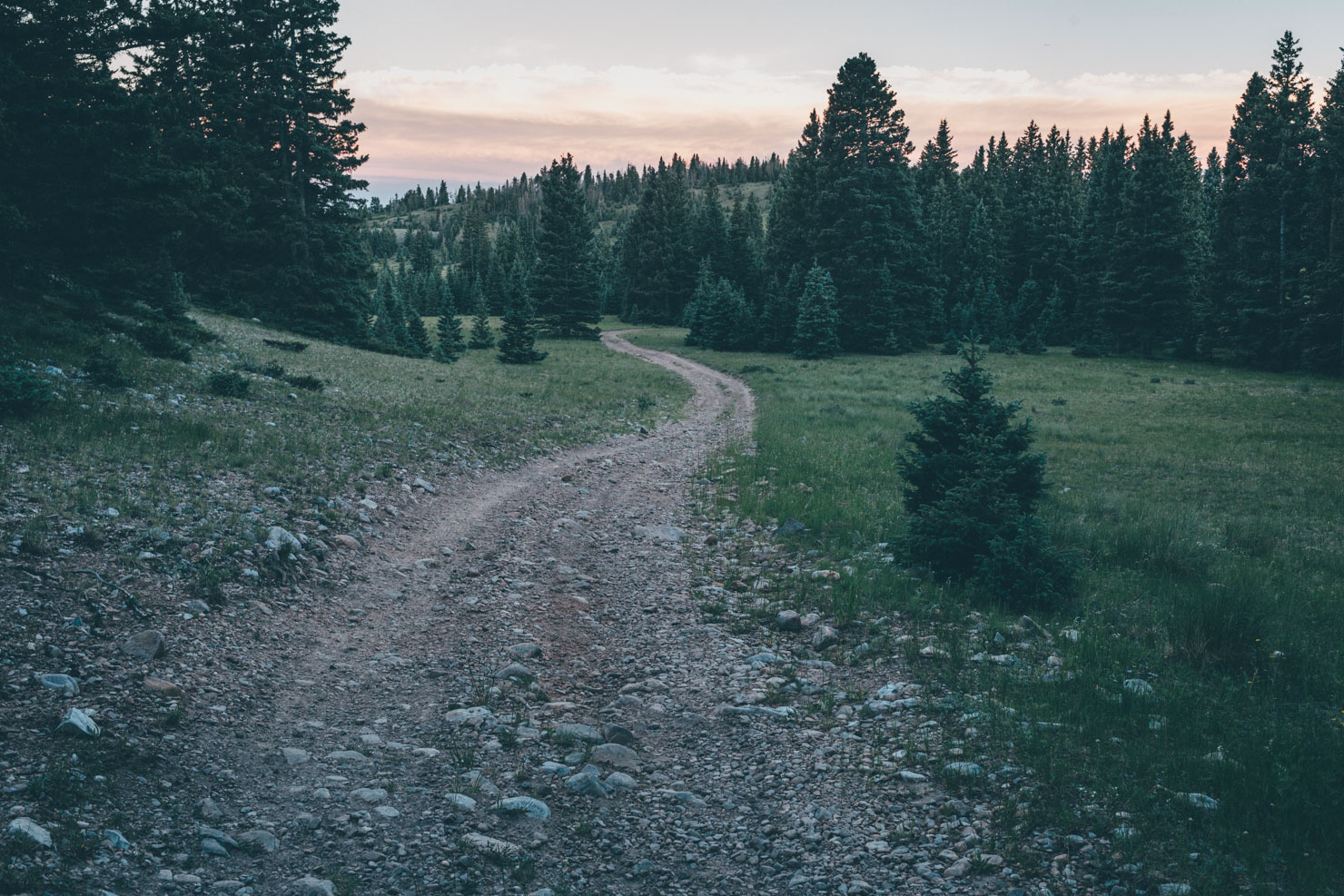
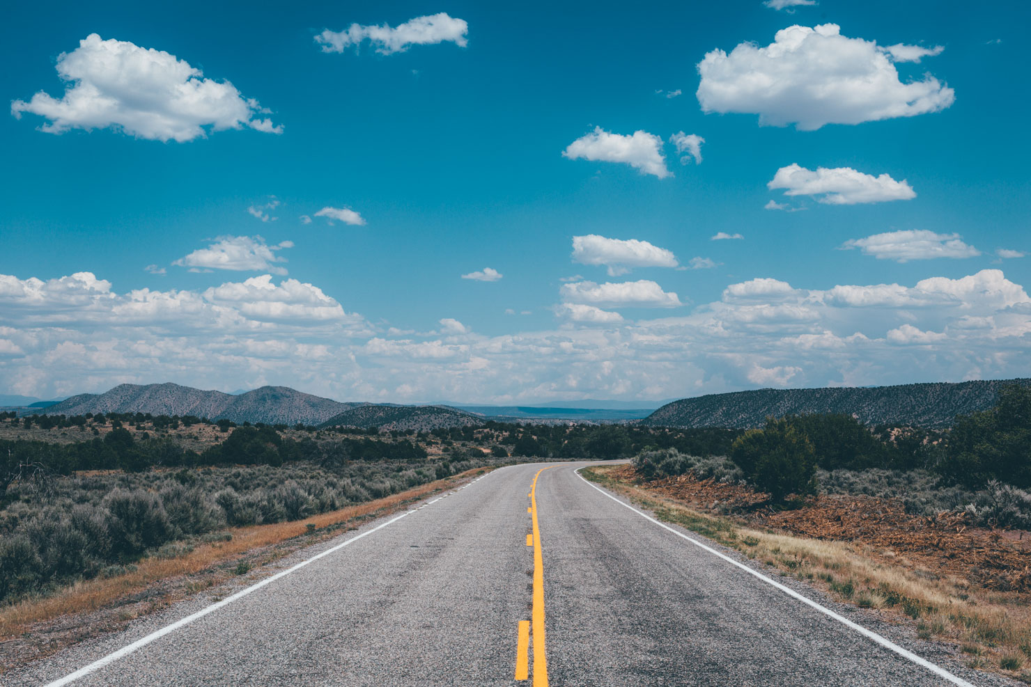
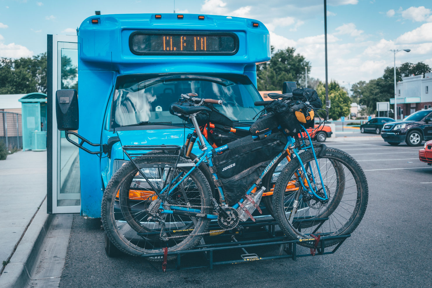
Expect dirt roads, barely ridden singletrack, and primo camping real estate. The terrain is characterised by high ridgelines and rolling plateaux at 10,000ft (3050m), with eventual views out to the imposing shoulders of the Brazos Cliffs. Pastures are generally lush and green, and lakes punctuate the route, including Lagunitas and Hopewell. What’s more, the ride can be connected by public transport on either end. To do so, you’ll need to time your trip during the week and tie in your travels with the Blue Bus schedule. See ‘Extras’ for the relevant timetables and ‘Trail Notes’ for a suggested long weekend itinerary.
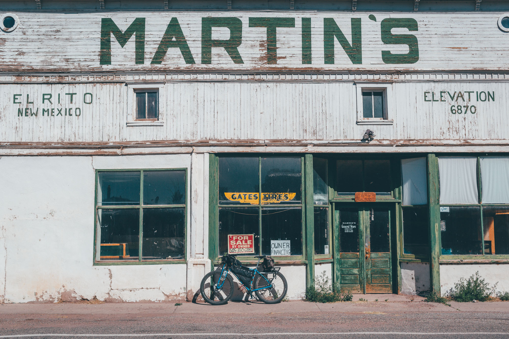
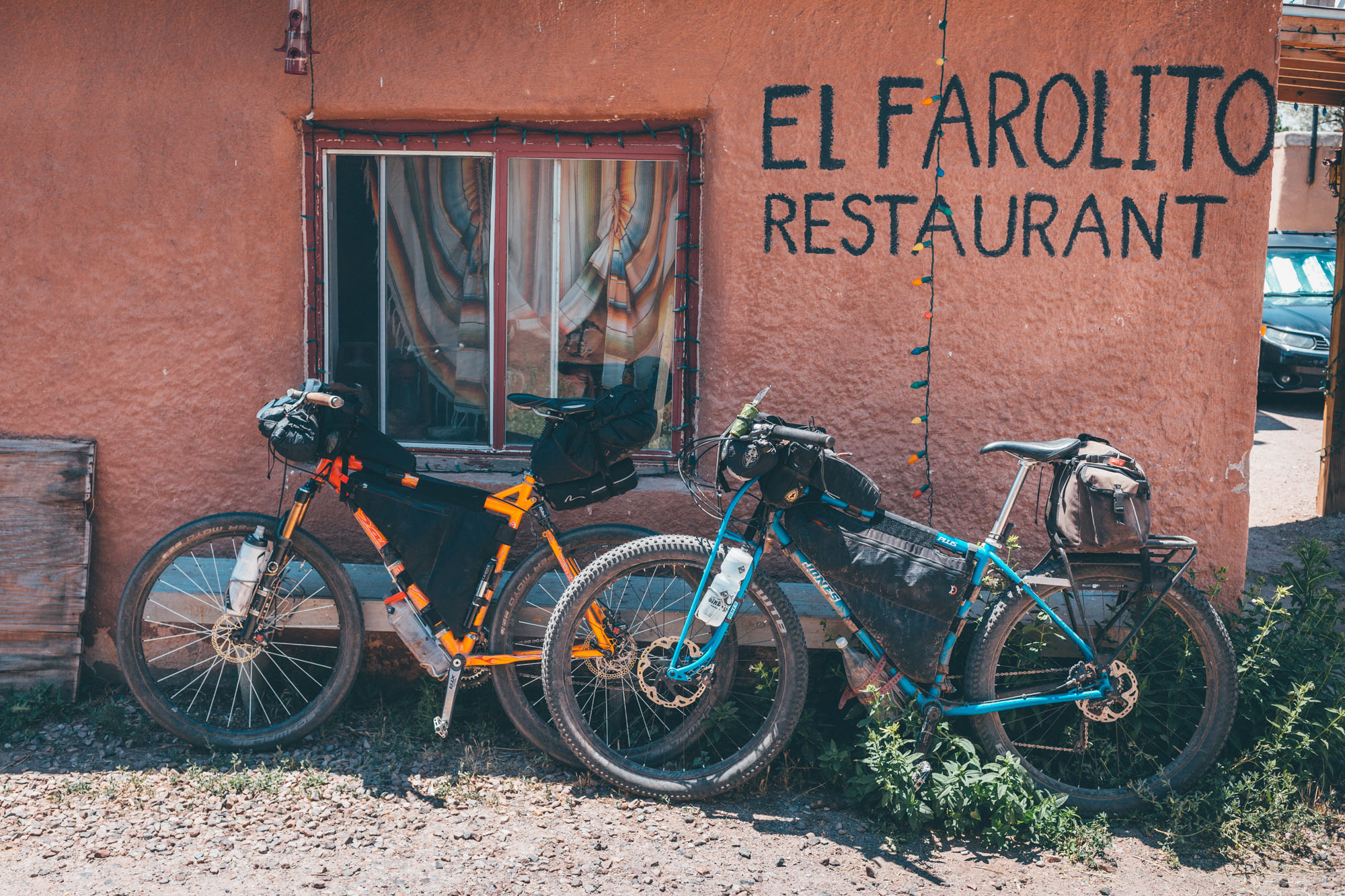
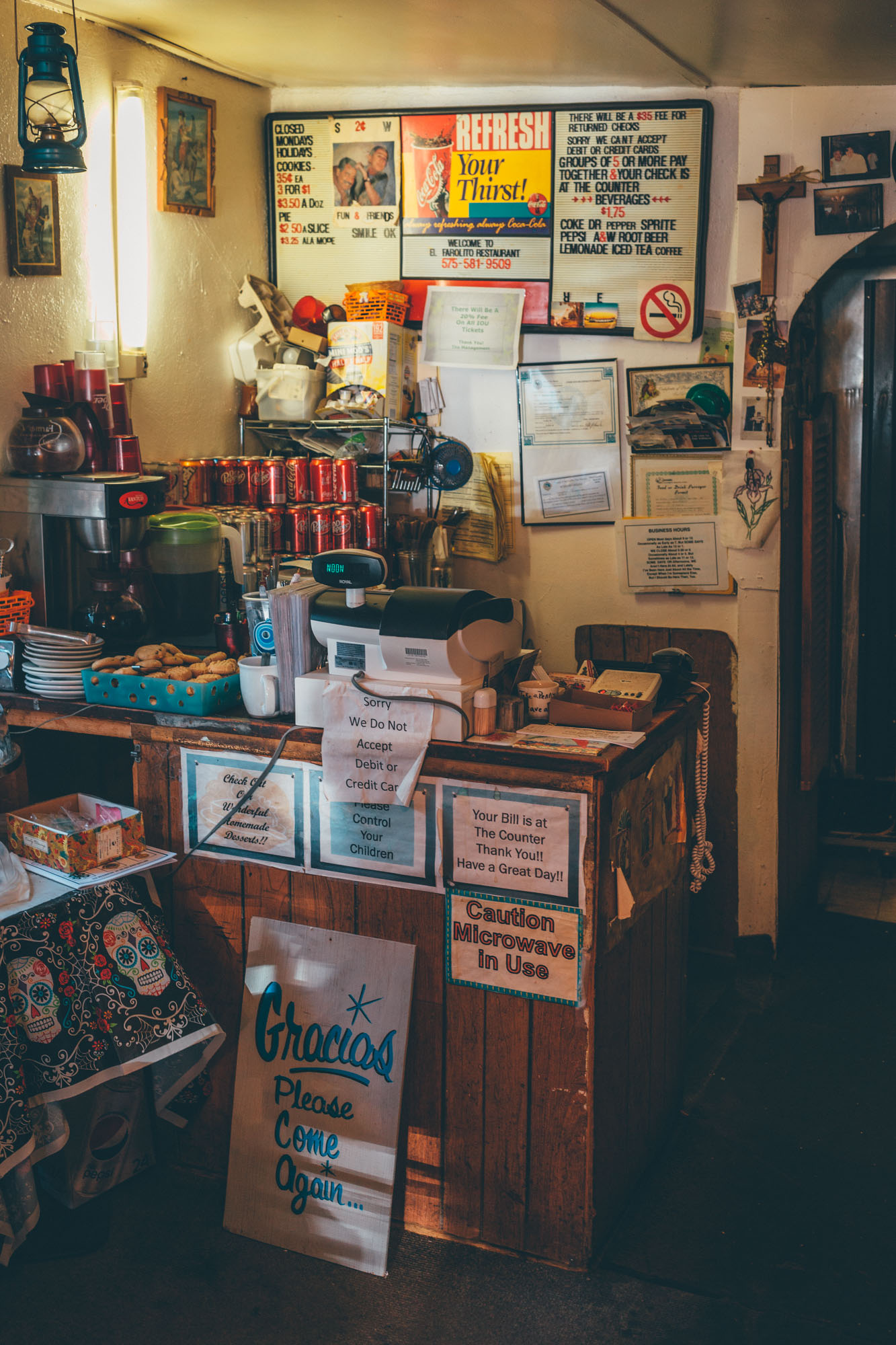
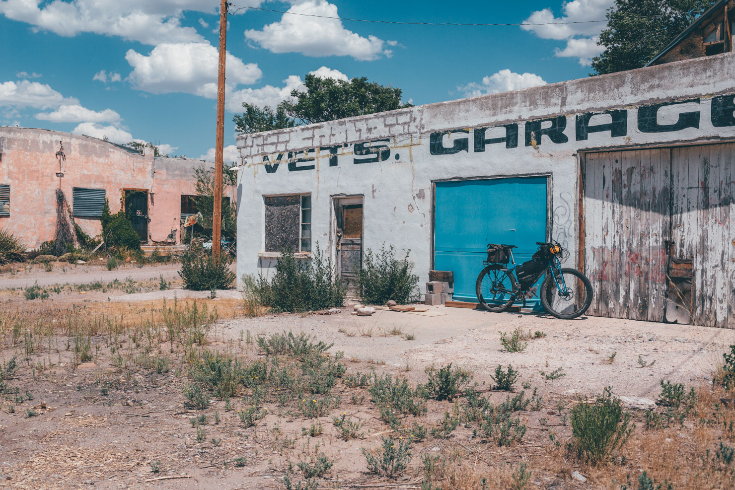
There’s a paved but enjoyable stretch between the two settlements of El Rito and Ojo Caliente, with a sweeping descent into the baking hot desert, as piñons and junipers replace high country ponderosas. If you need to trim down the ride, the same Blue Bus that runs from Ojo Caliente also stops in nearby El Rito. And if you want to extend the ride, you can hop onto the Great Divide Mountain Bike Route, which also passes through El Rito. Be sure to fill your boots at the wonderful El Faralito Mexican restaurant, a classic stop for Tour Divide racers.
Difficulty
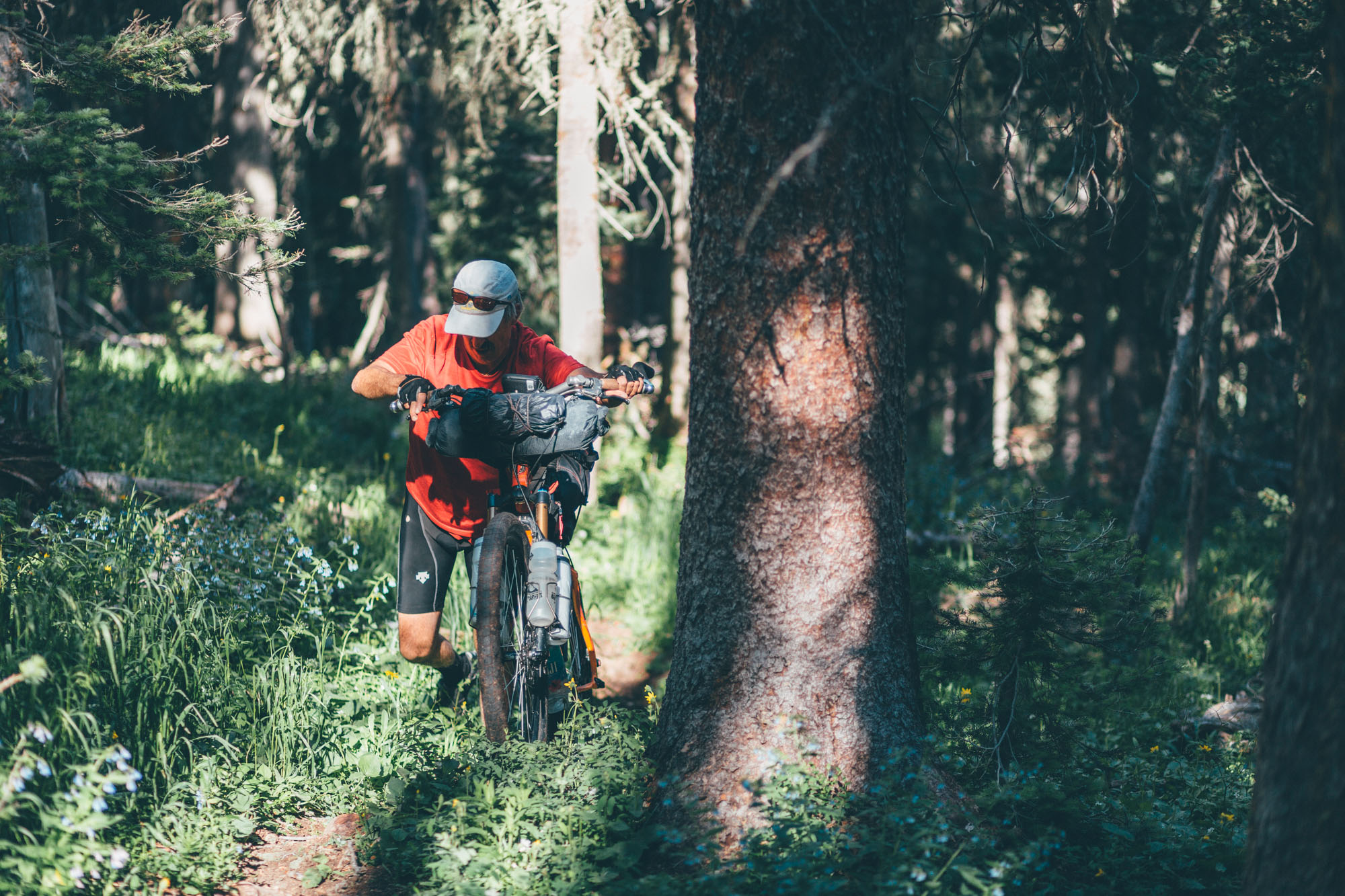
Although the singletrack on the Chama Charmer is relatively mellow and flowing for the most part, the route as a whole is remote and relatively challenging, with sections of rough trails. It doesn’t require an advanced mountain biking skillset, but it does require backcountry riding confidence. Its forest road climbs can be long, and despite the route’s short length, you’ll want to be relatively fit to enjoy the riding, especially given the altitude. When the trail is clear of blowdown, it’s almost completely rideable, though there are a few short steep and rocky segments that require pushing. Expect to hurdle the occasional downed tree, so having a light enough setup to easily lift your bike is important.
Trail updates. As of Nov 2018, the majority of downed trees from 2017 have been cleared. Check in with the National Forest office before leaving (8-11:30AM, 12:30-4:30PM, 575.581.4554). In the event of another big storm, the nature of the trail – and its challenges – could change significantly. See Trail Notes for details and alternate routes. As for May 2020, the route is updated with what we believe to be the latest additions to the CDT. If you’re riding this in 2021, please record your track and let us know if there are any differences – and share the latest conditions in the comments below. Follow your nose if there are any changes or download the Guthook App on your phone (see Must Know).


Submit Route Alert
As the leading creator and publisher of bikepacking routes, BIKEPACKING.com endeavors to maintain, improve, and advocate for our growing network of bikepacking routes all over the world. As such, our editorial team, route creators, and Route Stewards serve as mediators for route improvements and opportunities for connectivity, conservation, and community growth around these routes. To facilitate these efforts, we rely on our Bikepacking Collective and the greater bikepacking community to call attention to critical issues and opportunities that are discovered while riding these routes. If you have a vital issue or opportunity regarding this route that pertains to one of the subjects below, please let us know:
Highlights
Must Know
Camping
Food/H2O
Trail Notes
Resources
- Mile upon mile of remote singletrack, mellow and flowy for the most part.
- Equally enticing backcountry two track.
- Lots of great camping potential.
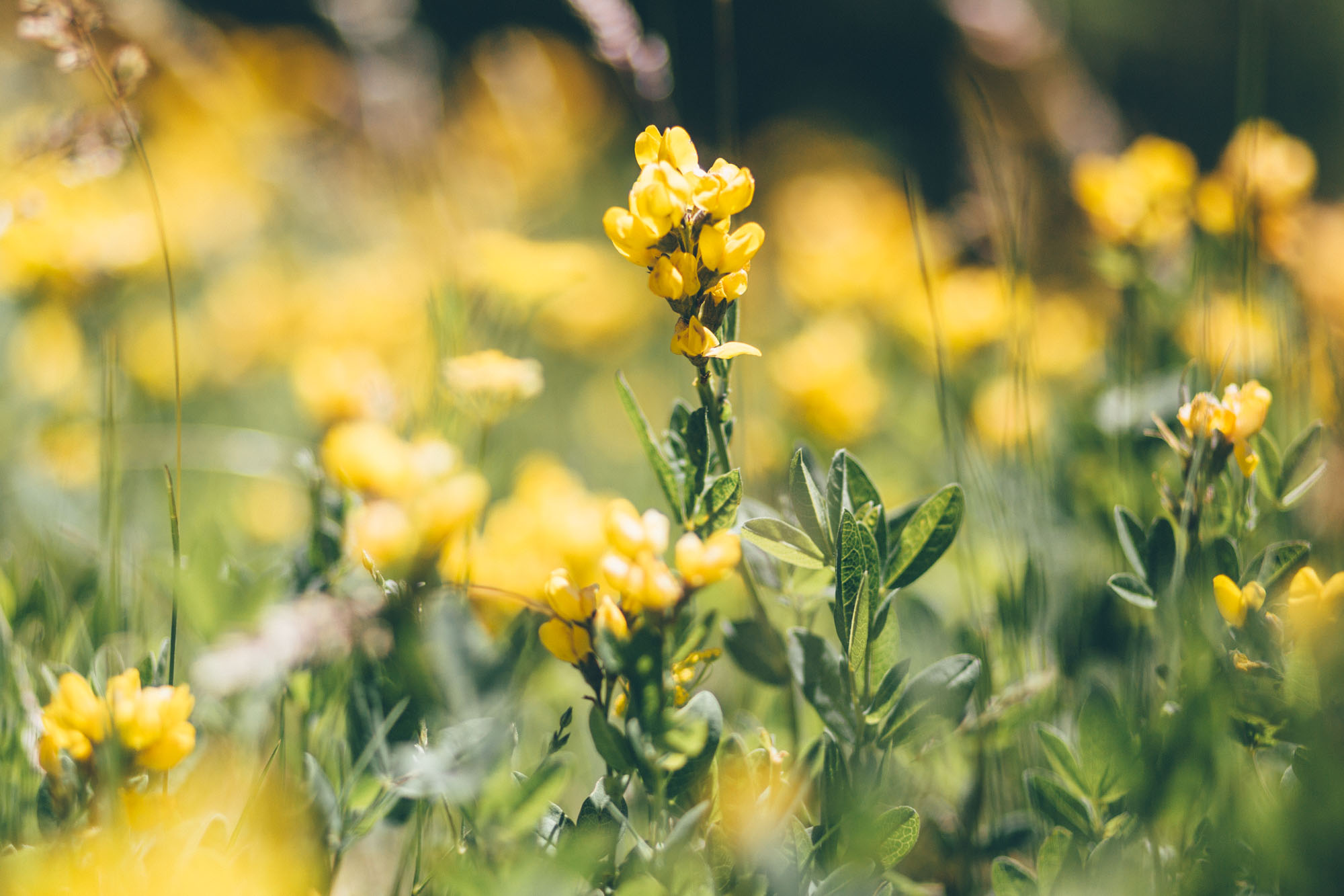
- New Mexico’s trademark starry nights.
- Depending on winter snowfall, this route is best ridden from June to November, given its high elevation. As a rule of thumb, everything below 10,000 feet in the area is clear in May. Above 10,ooo feet, the north slopes can have snow and drifts until mid-June.
- Check in with the National Forest office about potential fallen trees in the area, as this will change sections of the ride significantly.
- Be aware of the ride’s altitude; allow time to acclimatise and adjust your daily distance expectations accordingly.
- Any mountain bike is suited to this route, though 2.2+ inch tires and front suspension, or a rigid plus bike, will work best. The route is not recommended for gravel bikes.
- It’s a good idea to download the official gpx file and associated data from the CDT Trail Coalition in case there are updates. Atlas/Guthook Guides publish an up to date CDT app available for iPhones and Androids
- Bring a bell so you don’t startle hikers (though you’re unlikely to see more than a few souls over the entire route).
- Much of the ride is at high elevation. Expect cool nights, even in summer.
- Given the profile of the route, it’s best enjoyed from north to south.
- If you can, hitch a ride from Chama to Cumbres Pass to save yourself a paved road climb.
- New Mexico’s ‘Blue Buses’ fit two bikes but only runs on the weekdays. Occasionally, drivers will allow a third bike on board, but don’t count on it. Trays will fit most 3″ tires (on 45mm rims) but they need to be partially deflated. Be sure to get there early to give yourself time to figure this out and bring some extra Voile straps.
- Camping opportunities abound in the area, given that most of the route is in National Forest.
- Lodging is available in Chama and Ojo Caliente.
- There are no resupply points en route, except at the very end in El Rito. Stock up in Chama or before.
- Be sure to refuel on delicious Mexican fare at El Faralito, in El Rito (11am-2.30pm, 5pm-8pm, 575-581-9509).
- There are plenty of eating options in Chama, including Red Mountain Pizza, as well as a small grocery store.
- Being predominantly alpine in nature, the route is relatively well watered. Still, it’s worth having the capacity to carry up to 4L of H2O, given the amount of ridgeline riding.
2019 trail update and alternates
In 2017, riders reported a significant amount of downed trees on the route. Since then, the area has been largely cleared (Nov 2018), but it’s always best to check up with the National Forest office first, as this can significantly change the dynamic of this ride. The new section of the CDT that was being constructed at the time of research has been finished, so there is no longer a need to bushwack. The gpx file has been adjusted to reflect this, but please let us know in the comments if it’s not accurate.
The CDT runs through Canjilon Lakes (junction mile 69). However, as far as we know, the trail remains unmaintained in this area – with numerous trees to haul your bike over – so we’d suggest descending on FR 559 instead, as indicated by the gpx.
If you’re in a hurry, you can drop into El Rito on the large, wide, and sometimes dusty FR110. But parallel primitive roads (as suggested in the gpx at mile 79) make for a quieter, more interesting ride (especially at weekends).
From El Rito, you can catch the Blue Bus back to Espanola and Santa Fe. Or, ride onto Ojo Caliente for a soak in the hot springs, and do the same from there.
If you want extra variety, it’s easy to deviate from the CDT and take connecting forest roads. Download a basemap of the area on your phone or GPS. It’s also good idea to download the official gpx file and data from the CDT Trail Coalition, in case there are updates to the trail that we don’t hear about. Atlas/Guthook Guides also publish a CDT app that’s available for iPhones and Androids.
Staying on the CDT to Highway 84/Abiquiu
If you want to skip El Rito/Ojo, you can finish your ride on Highway 84 and pedal on pavement back to Abiquiu. Follow the main CDT route to do this, as marked by two waypoints on the map/gpx. Note that the alternate drop into Ghost Ranch is beautiful but largely unrideable. The Blue Bus to Chama runs through Abiquiu, making this a viable option to create a loop if you leave a vehicle there (ask at Bode’s store). If you want to avoid some pavement on the ride back to Abiquiu, take the scenic CR162 dirt road detour, along the Chama River, as marked on the gpx file.
Connecting the ride with the Divide and the Valles Caldera
This route is easily connected to the Valles Caldera via the Great Divide Mountain Bike Route. There are two straightforward ways of doing this. You can either ride to El Rito (great restaurant), then follow pavement to Abiquiu, as per the Divide route. Or, you can stay on the CDT instead of descending to El Rito and drop down to Highway 84, as per the paragraph above. Bodes is a great place for a resupply.
Suggested weekend itinerary
Friday: 5.30pm bus from Espanola to Chama (route 190), arriving at 7:10pm in Chama
Saturday/Sunday: Full riding days (hitch up to the start point at Cumbre Pass if possible)
Monday: Descend into El Rito for late breakfast/early lunch at El Farelito (11am-2.30pm, 5pm-8pm). Short ride to Ojo Caliente. Soak. Bus back to Espanola (route 190, 30 mins) departing 2.26pm or 5.56pm from the resort (best to verify these times).
- RTD website, detailing public transportation in New Mexico. It’s sometimes easier to give them a call, as the website is somewhat confusing unless you know the area.
- Timetable for the Española to Chama Blue Bus (only weekdays).
- Timetable for Ojo Caliente to Española (this connects with the bus to Santa Fe).
- Ojo Caliente spa; pamper yourself!
- Thanks are due to the excellent New Mexico Endurance series, and its Redneck Epic, for inspiration in planning this route.


Terms of Use: As with each bikepacking route guide published on BIKEPACKING.com, should you choose to cycle this route, do so at your own risk. Prior to setting out check current local weather, conditions, and land/road closures. While riding, obey all public and private land use restrictions and rules, carry proper safety and navigational equipment, and of course, follow the #leavenotrace guidelines. The information found herein is simply a planning resource to be used as a point of inspiration in conjunction with your own due-diligence. In spite of the fact that this route, associated GPS track (GPX and maps), and all route guidelines were prepared under diligent research by the specified contributor and/or contributors, the accuracy of such and judgement of the author is not guaranteed. BIKEPACKING.com LLC, its partners, associates, and contributors are in no way liable for personal injury, damage to personal property, or any other such situation that might happen to individual riders cycling or following this route.
Please keep the conversation civil, constructive, and inclusive, or your comment will be removed.