


Central Oregon Backcountry Explorer
Distance
152 Mi.
(245 KM)Days
3-5
% Unpaved
60%
% Singletrack
0%
% Rideable (time)
100%
Total Ascent
11,590'
(3,533 M)High Point
6,513'
(1,985 M)Difficulty (1-10)
6?
- 5Climbing Scale Moderate76 FT/MI (14 M/KM)
- -Technical Difficulty
- -Physical Demand
- -Resupply & Logistics
Contributed By
Sarah Swallow
Swallow Bicycle Works
Contributed by Sarah Swallow; photography by Benedict Wheeler (Ultraromance)
This ride begins and ends in Prineville, Oregon, which is a 50-minute drive from Bend and 3-hour drive from Portland. Sitting in the rain shadow east of the Cascades, Central Oregon has an arid, high desert climate and is a great place to visit at almost any time of the year.
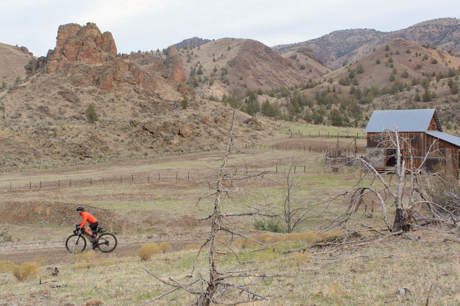
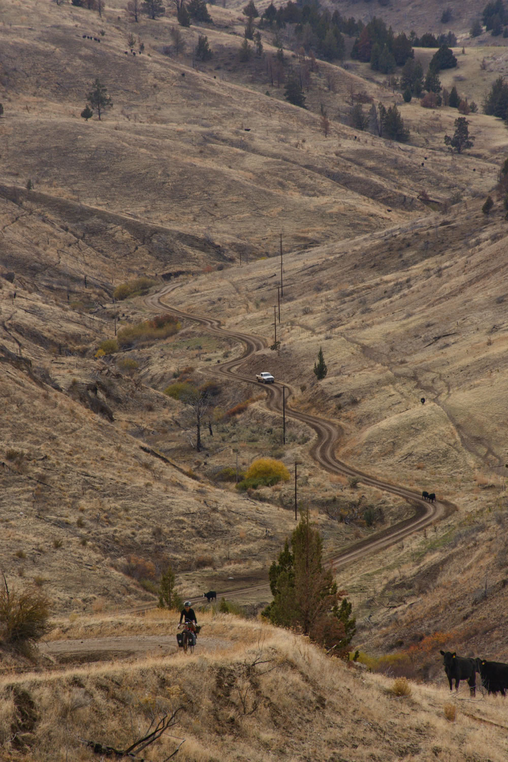
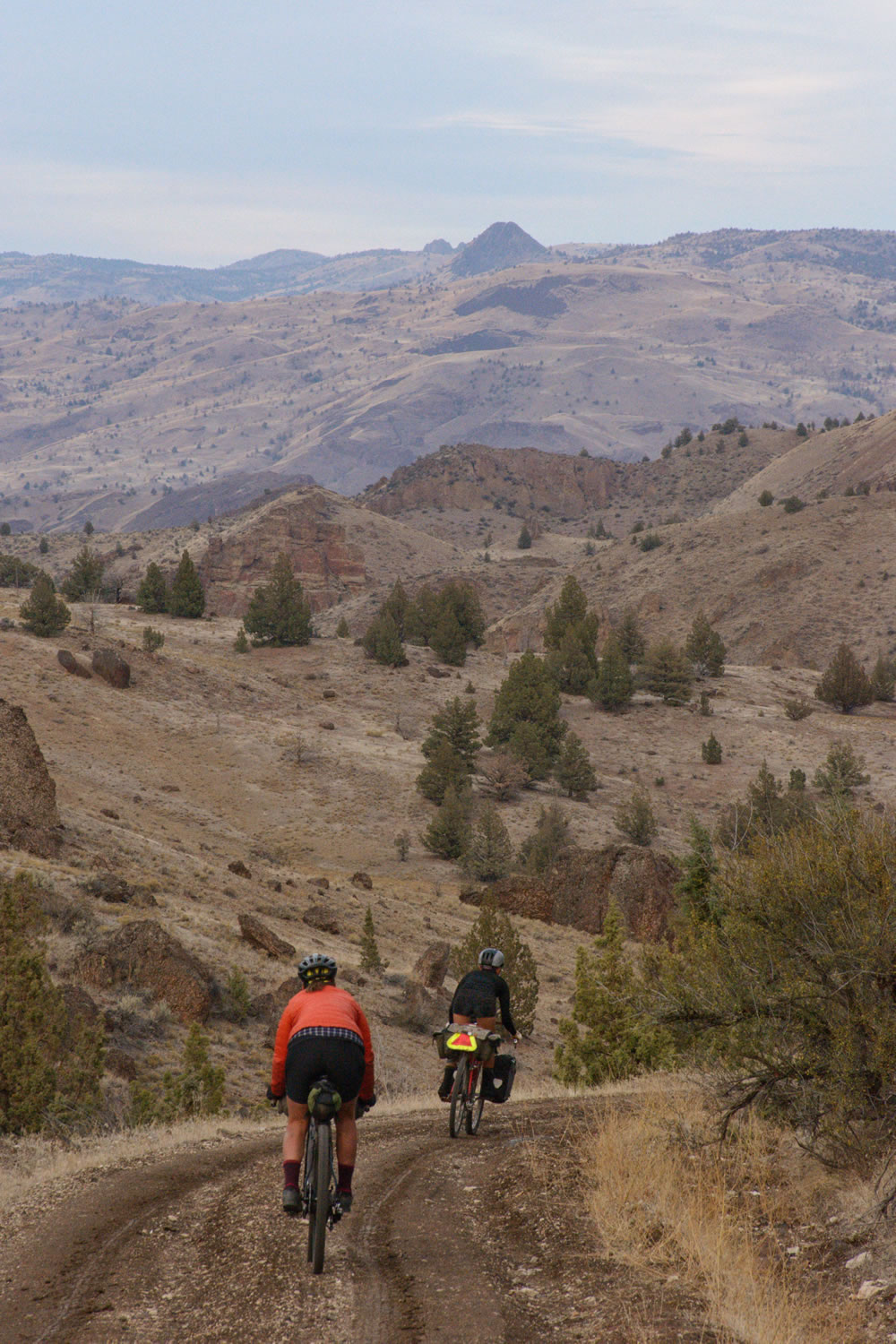
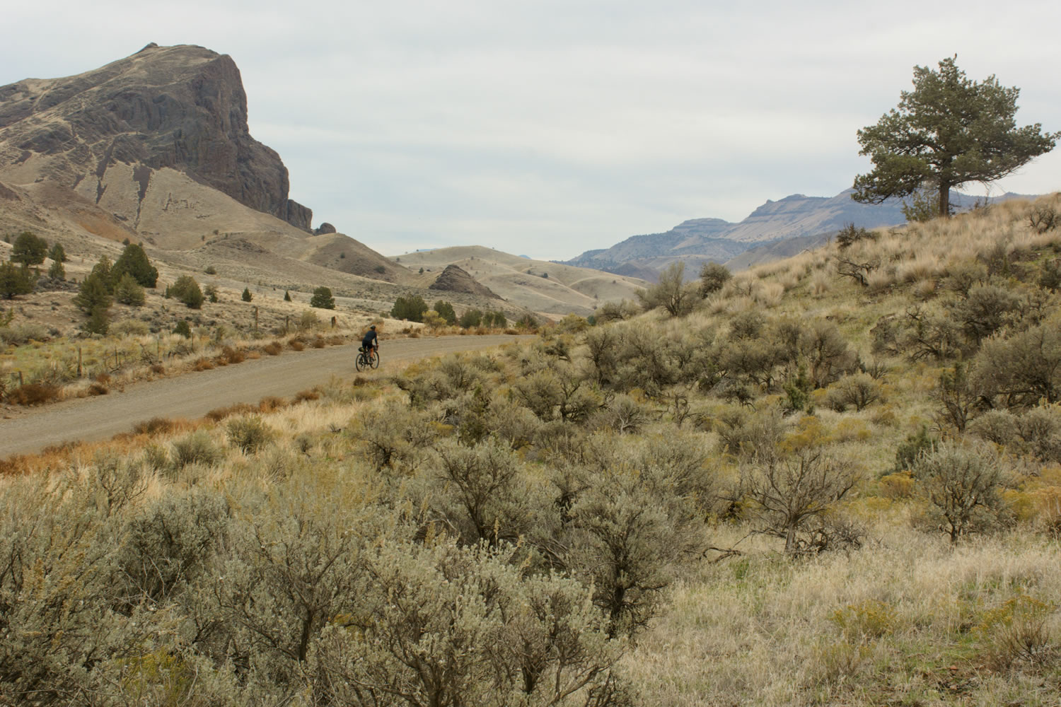
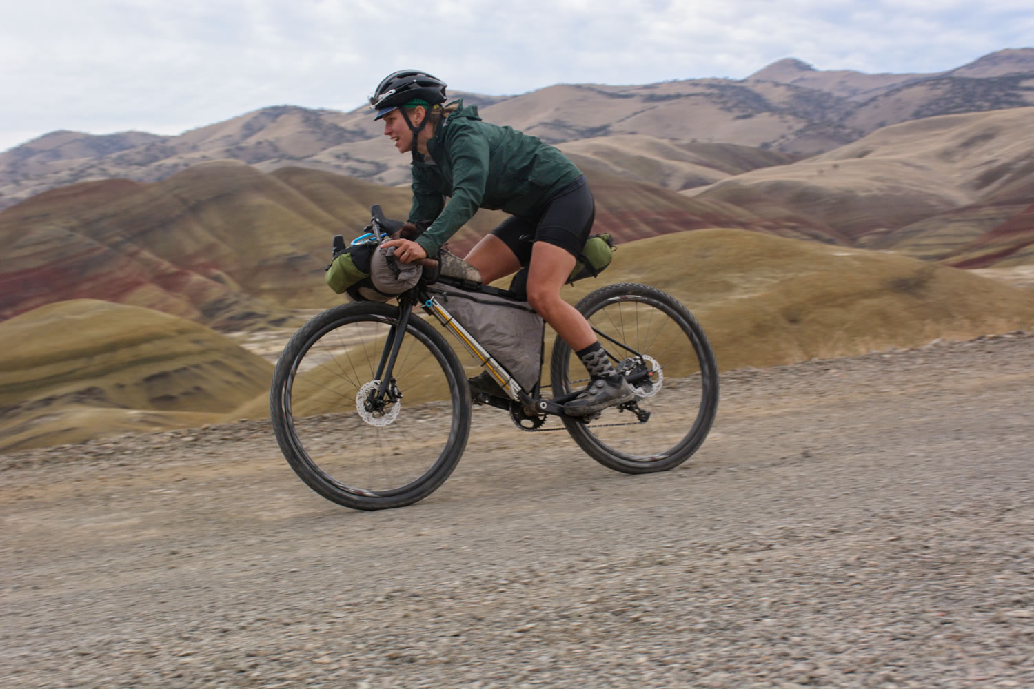
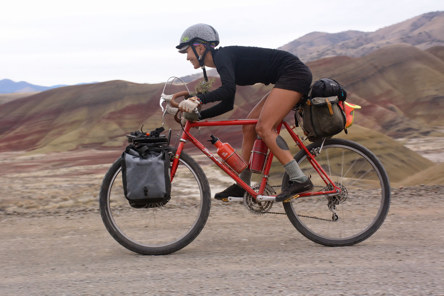
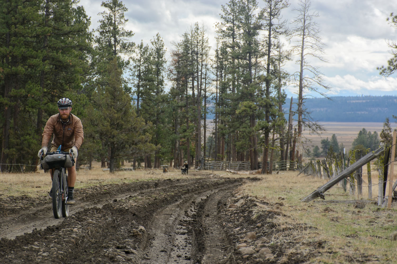
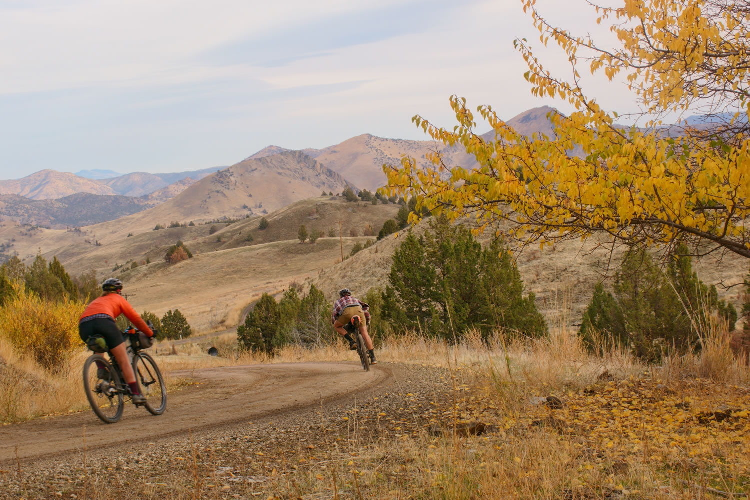
This ride begins with a long, twisty, gradual, paved 20-mile climb over the Ochoco Mountain Range from the town of Prineville. Soak in the old growth ponderosa pine forest and streams before reaching the top where the paved road turns into a narrow gravel road, which will take you down the North side of the Ochoco range, and into the John Day Basin, an uplifted and eroded volcanic landscape with rocks up to 225 million years old. The climate here is more arid and high desert than you will experience at higher elevation in the Ochoco Mountains where the sagebrush and juniper trees give way to Ponderosa pine. It seems there are as many streams, although they exist at the base of some heavily grazed cattle lands.
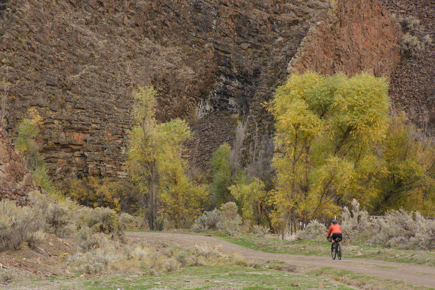
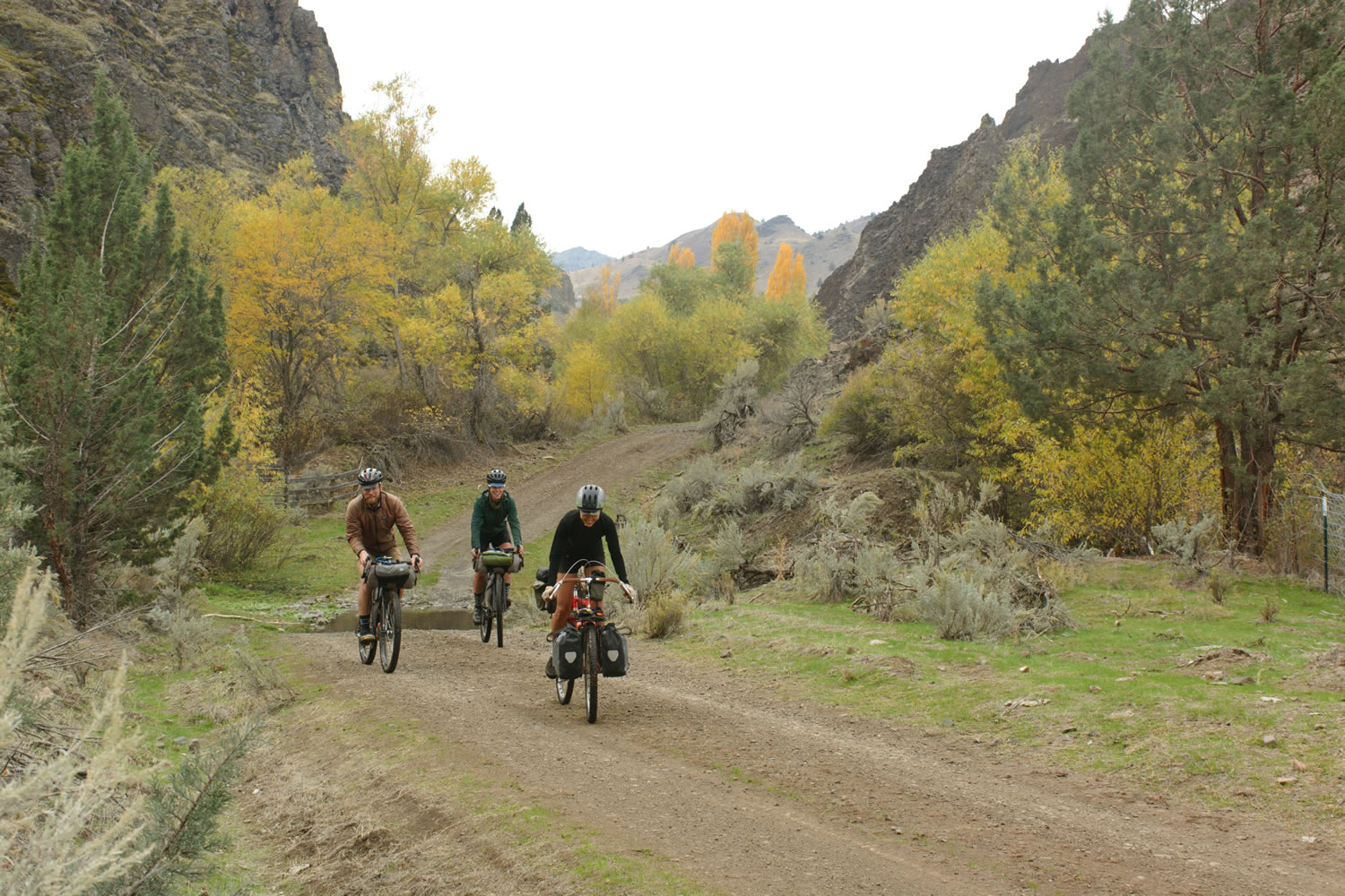
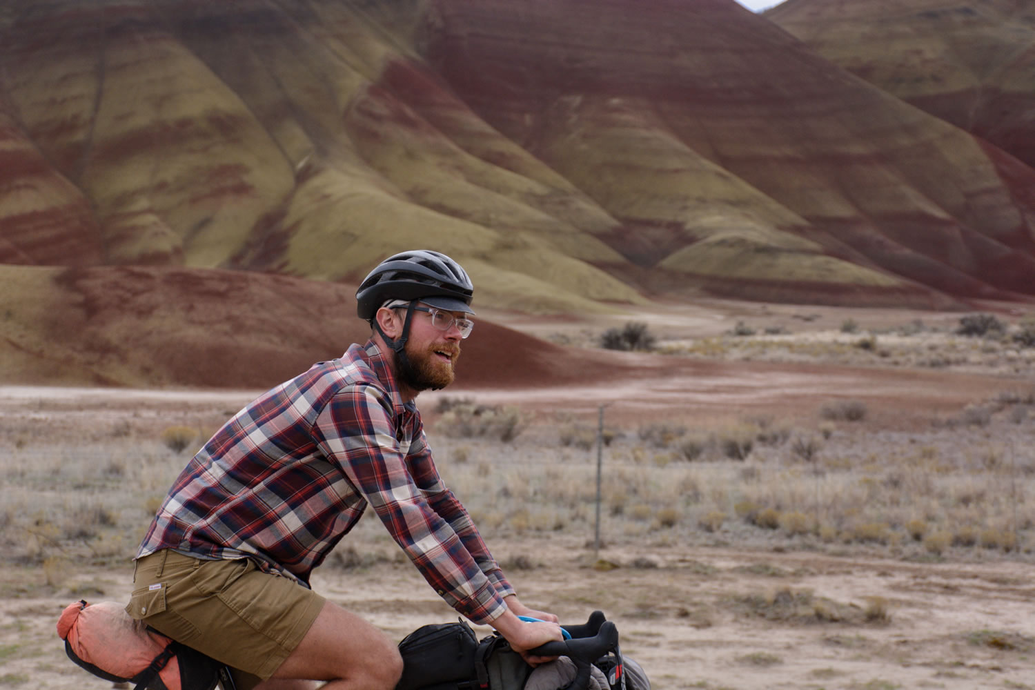
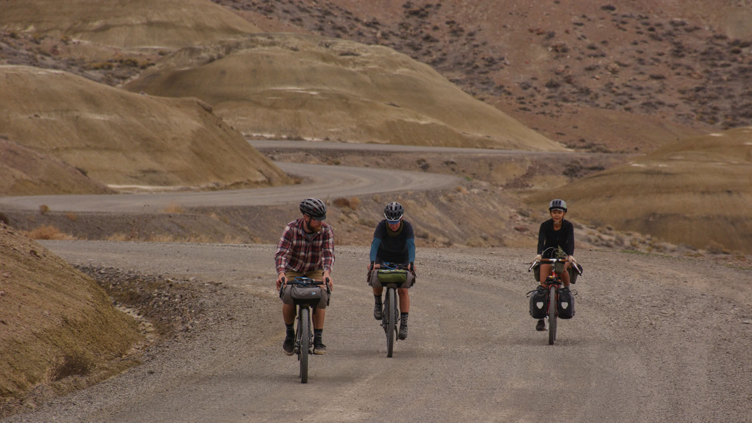
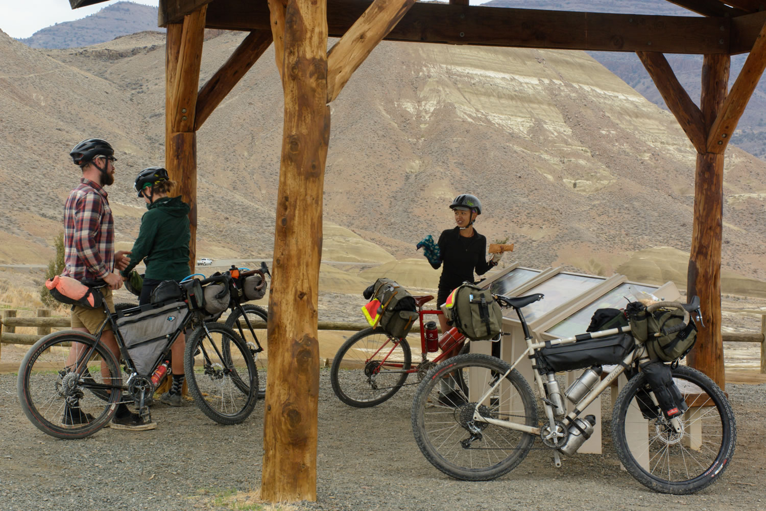
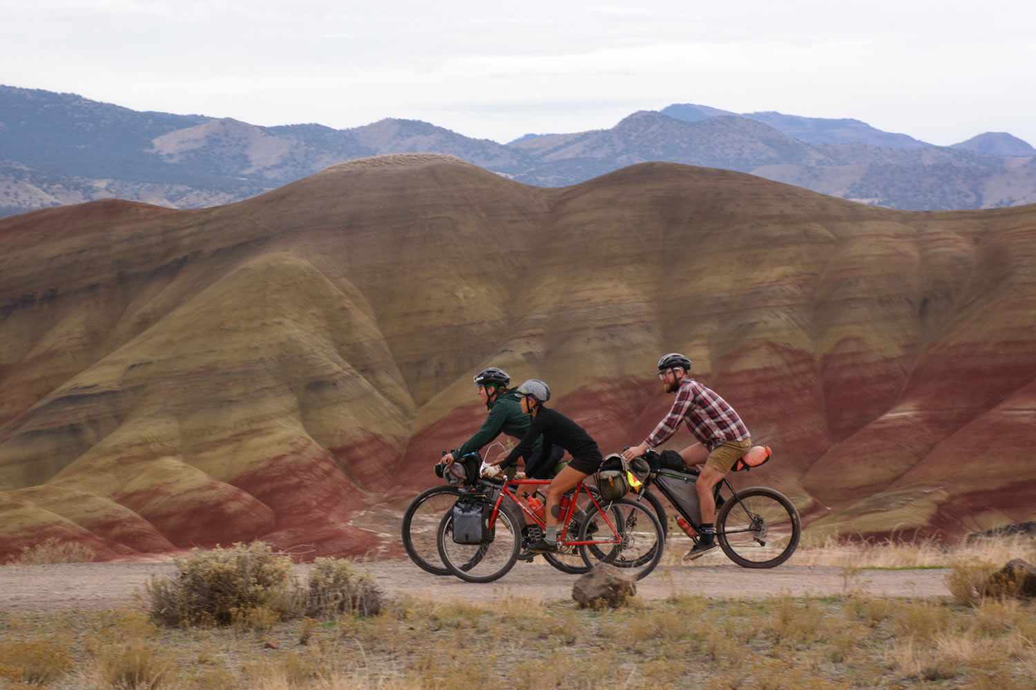
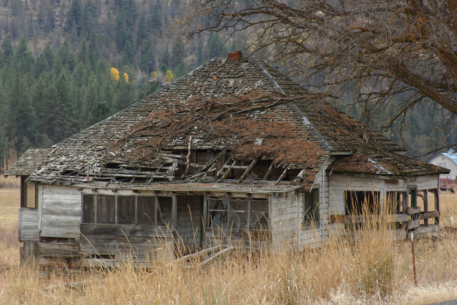
Make your way up, down, and around these volcanic highlands, past dilapidated ghost towns and mines until you reach the John Day River, one of the longest undammed, free-flowing rivers in the U.S. furnishing a diverse habitat for wild steelhead and Chinook Salmon. Follow the John Day River for a brief period before riding through Coyote Canyon along the Bridge Creek down to the Painted Hills, which reveal changes from a tropical to temperate climate in ribbons of color across its ancient shale hills.
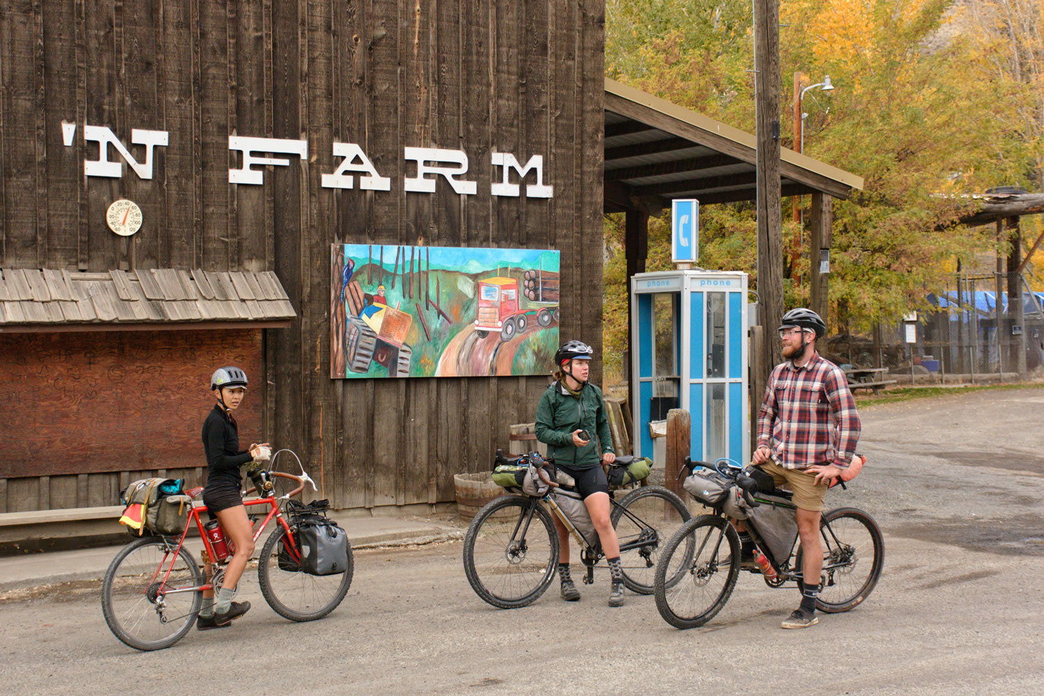
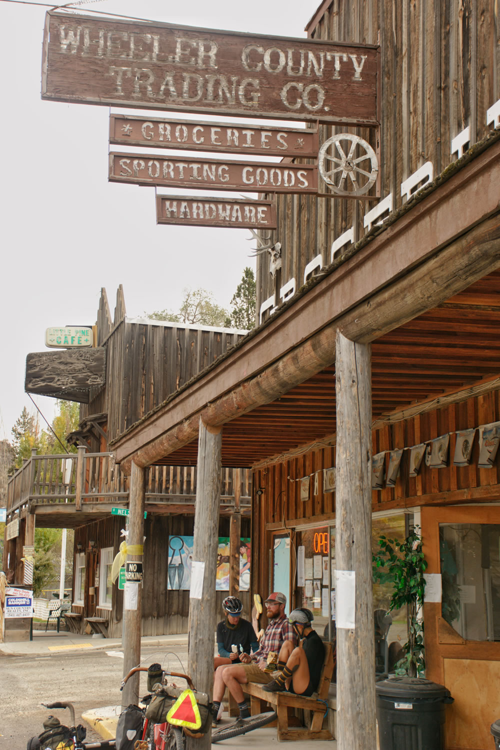
Spend some time reading and exploring around the Painted Hills before you make your way to the very small town of Mitchell, an early pioneer town seemingly changed very little by time. In Mitchell you will find a town park that has water spigots, bathrooms, and $10 camping. There is a small general store in Mitchell and even a brewery serving chicken wings from a food truck. The Spoken’ Hostel is probably the most exciting place in Mitchell. Built within an old church, the Spoken’ Hostel is a donation based 5-star hostel experience for traveling cyclists.
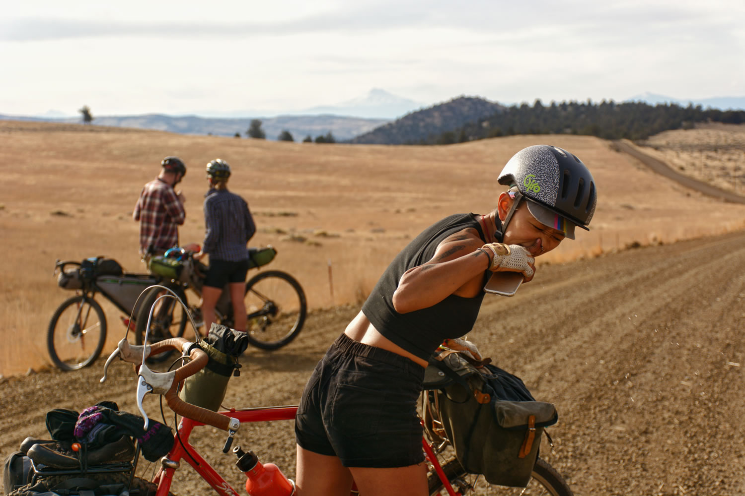
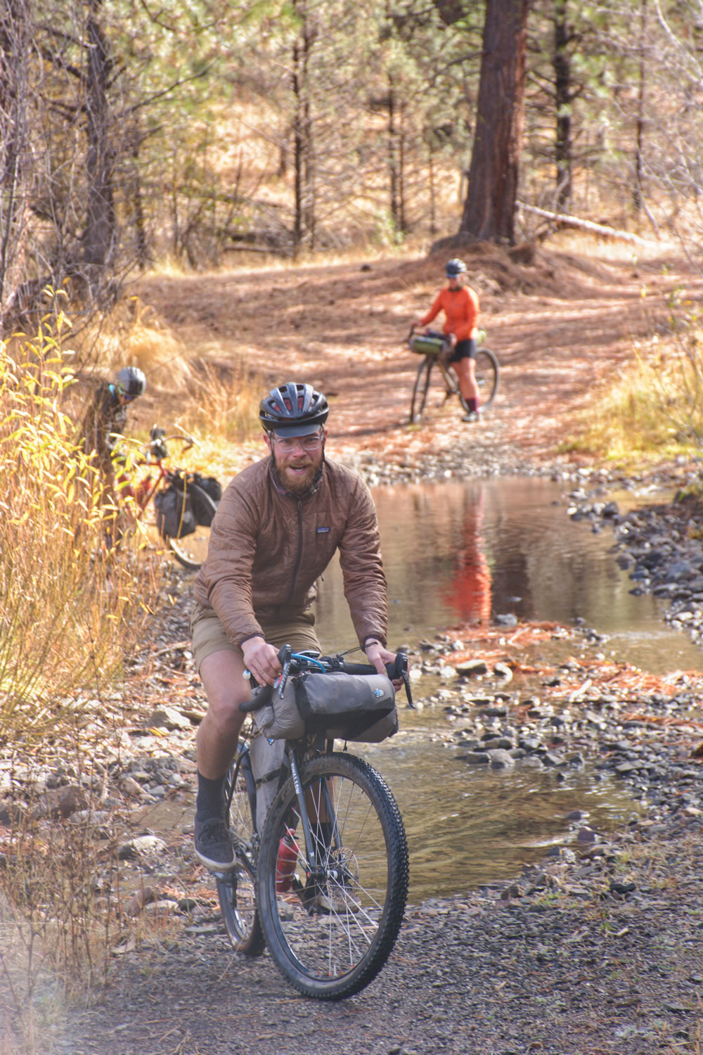
The biggest threat of the John Day River Basin is the prevalence of goat head thorns. Tubeless tires are recommended for this ride and fresh sealant in your tires is highly recommended. The number of flats our group received with various tire combinations ultimately added an extra day to our ride and nearly ended our ride completely. This is all the more reason why the town of Mitchell serves as a perfectly timed respite after the heavy goat head section through the John Day Basin, before you re-enter the Ochoco Mountains. Please note that the Spoken’ Hostel does not yet carry tubes or latex sealant. There is a car shop down the road that carries a latex sealant that will work in an emergency.
After Mitchell, you will be climbing back into the Ochoco Mountains along a twisty gravel road that can get steep at times. It’s a long climb filled with views volcanic rock formations, prairie grasslands, bald eagles and wild horses. Make your way to the highest point of the route at 6,400 ft along Summit Road and enjoy the Central Oregon views. You will spend the last 20 miles riding a paved 1-2% grade down to Prineville.


Submit Route Alert
As the leading creator and publisher of bikepacking routes, BIKEPACKING.com endeavors to maintain, improve, and advocate for our growing network of bikepacking routes all over the world. As such, our editorial team, route creators, and Route Stewards serve as mediators for route improvements and opportunities for connectivity, conservation, and community growth around these routes. To facilitate these efforts, we rely on our Bikepacking Collective and the greater bikepacking community to call attention to critical issues and opportunities that are discovered while riding these routes. If you have a vital issue or opportunity regarding this route that pertains to one of the subjects below, please let us know:
Highlights
Must Know
Camping
Food/H2O
Trail Notes
Resources
- The Painted Hills a unique reflection of climate change in bands of colors on ancient shale hills.
- The John Day River camping and fishing opportunities
- Spoke’n Hostel a donation based 5-star hostel experience for traveling cyclists
- Ochoco National Forest: Old growth forests speckled by grass prairies and wildlife
- The John Day Basin is an ancient volcanic land that has been uplifted and eroded over millions of years.
- When to go: This route travels through an arid high desert climate, making spring, summer, and fall the best time to visit. The highest point the route reaches is 6,400 ft. so if you plan to visit in the border seasons of late fall and early spring check the snow line. Some of these roads can get very muddy when there has been a lot of precipitation or snow. Half of this route is also very exposed, so keep that in mind when you are considering going on a hot day.
- This is a 3 hour drive from Portland and a 50 minute drive from Bend.
- Parking is available at the Prineville Crook County Chamber of Commerce and Visitor Center, just let them know how long you will be leaving your vehicle and ask where they would like you to park it.
- Goat Head Thorns are the biggest threat on this route. A tubeless system is recommended. Before you go, ensure you have fresh sealant inside your tires, carry some extra sealant with you, a fresh tube, and patch kit.
- This route is 60% dirt and 40% paved. The majority of the pavement occurs outside of Prineville. The dirt roads vary from smooth gravel roads, washboard, and double track. There can be many creek crossings and the amount of climbing per day coupled with the potential difficulty that the goat head thorns along the route makes this route a 6 out of 10 on the difficulty scale.
- There can be many creek crossings along this route and most of them are rideable. The rest of the surface of the route is easily rideable.
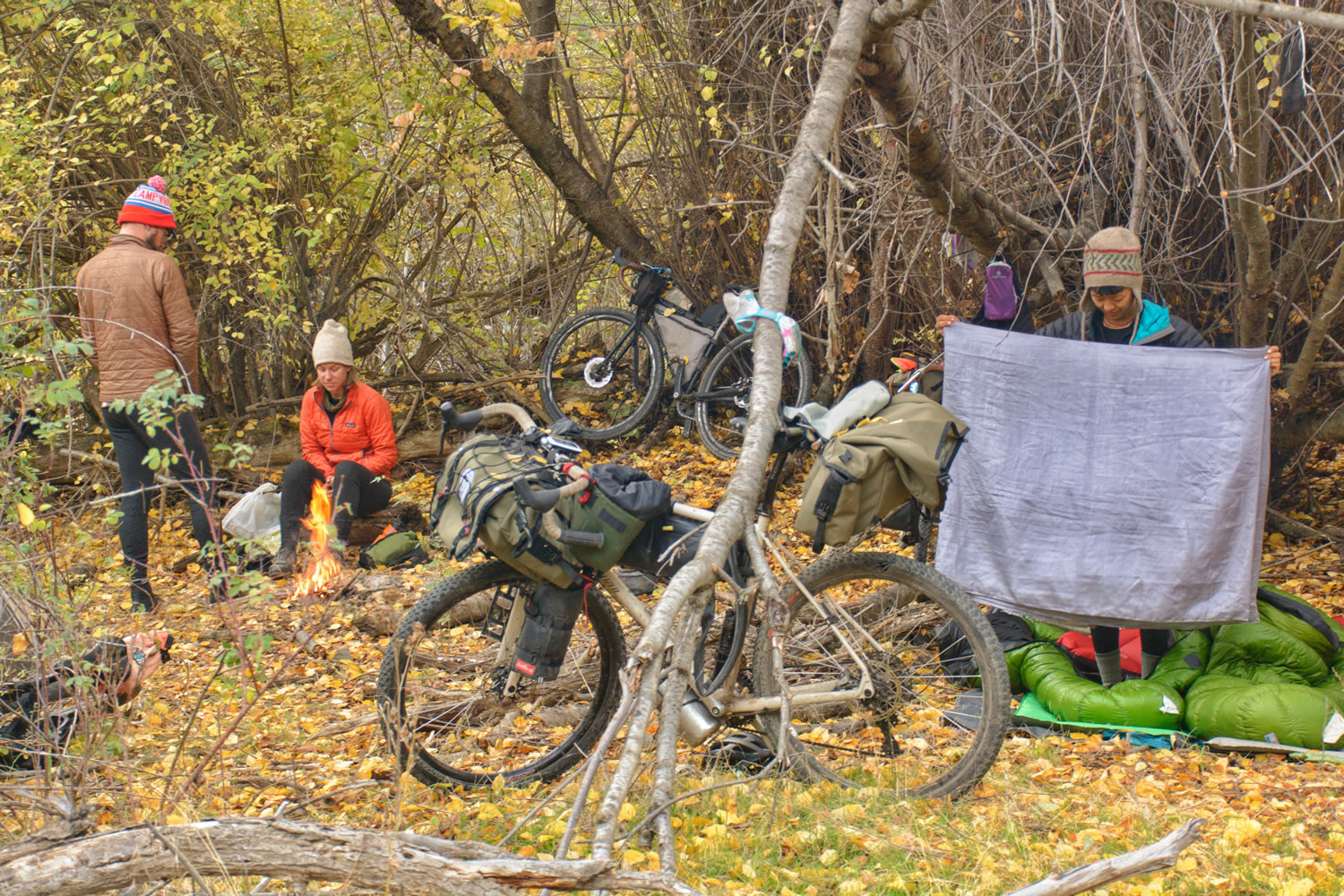
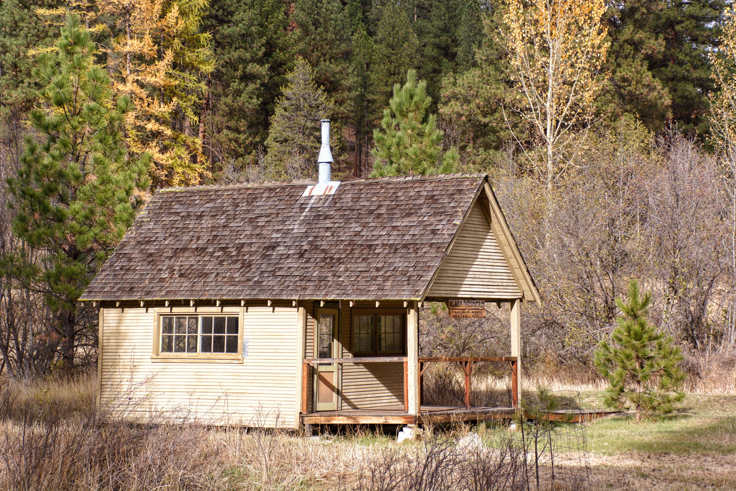
- There are many camping options along this route in the Ochoco National Forest, and along the John Day River.
- There are some long sections that are fenced off for private property, specifically on Gosner Road, after Horse Heaven and Upper Bridge Creek Road out of Mitchell. Be considerate and camp before or after these sections.
- The Spoke’n Hostel is a donation-based hostel catering to traveling cyclists inside an old church building. Stop in for a comfortable bed and atmosphere, access to kitchen, and bathroom with shower. This is not your ordinary hostel!
- There is camping in the town park of Mitchell for $10
- Filterable water is available throughout this route from creeks, rivers, and springs.
- The only food available along the route can be found in small town of Mitchell where there is Bridge Creek Café, Tiger Town Brewing Co. with a food truck, and Wheeler County Trading Co, a general store with basic food items (Trading Co. Hours Monday – Friday 7 a.m. – 6 p.m., Saturday 8 a.m. – 6 p.m., Sunday 8 a.m. – 5 p.m. as of Oct. 2016)
- There is a water spigot in the town park of Mitchell as well.
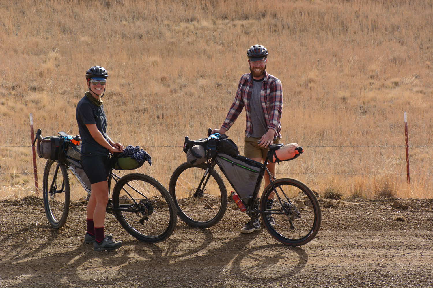
This route could be toured at a leisurely pace in 5 days or knocked out in 2.5 days. The key with this route is to allow time to take in the scenery and the interesting geological features and to have a back-up plan if you do have a serious problem with goat head thorns.
For a 5-day leisure ride I recommend the following mileage and camp spots.
- Day one: Drive to Prineville and ride 27 miles, climb 2,769 ft to the Skookum Rock Bush Camp (the first 20-miles of this day will be paved).
- Day two: Ride 43 miles, climb 3,110 ft and camp at Burnt Ranch Campground along the John Day River.
- Day Three: Ride 22 Miles, climb 1,785 ft. Explore the Painted Hills, go to Tiger Town Brewing Co., Stay at the Spoke’n Hostel, resupply at the Wheeler County Trading Co.
- Day Four: Ride 27 Miles, climb 4176 ft. and Camp off of Summit Road or at Walton Lake
- Day Five: Ride 31 Miles, climb 150 ft. descend 2,550 ft. This day is mostly pavement and should allow you enough time to get a bite to eat in Prineville before driving home.
For a quick 2.5 day ride I recommend the following mileage and camp spots
- Day One: Ride 27 miles, climb 2769 ft and camp at Shookum Rock Bush Camp
- Day Two: Ride 70 miles, climb 5,000 ft and stay at the Spoke’n Hostel. Be sure to take in the beauty of Horse Heaven, the John Day River Basin, and the Painted Hills. Goat head thons can be a problem this day.
- Day Three: Ride 60 miles back into Ochoco National Forest, climb 4,300 ft, Descend back into Prineville. Nearly half of this day is on pavement.
Additional Resources
- Ochoco National Forest and Crooked River National Grassland (fs.usda.gov/ochoco)
- Oregon Paleo Lands Institute (oregonpaleolandscenter.com)
- Spoke’n Hostel (spokenhostel.org)
- Path Less Pedaled Vlog of the Spoke’n Hostel (youtube.com)


Terms of Use: As with each bikepacking route guide published on BIKEPACKING.com, should you choose to cycle this route, do so at your own risk. Prior to setting out check current local weather, conditions, and land/road closures. While riding, obey all public and private land use restrictions and rules, carry proper safety and navigational equipment, and of course, follow the #leavenotrace guidelines. The information found herein is simply a planning resource to be used as a point of inspiration in conjunction with your own due-diligence. In spite of the fact that this route, associated GPS track (GPX and maps), and all route guidelines were prepared under diligent research by the specified contributor and/or contributors, the accuracy of such and judgement of the author is not guaranteed. BIKEPACKING.com LLC, its partners, associates, and contributors are in no way liable for personal injury, damage to personal property, or any other such situation that might happen to individual riders cycling or following this route.
Please keep the conversation civil, constructive, and inclusive, or your comment will be removed.