


The Cairngorms Loop
Distance
181 Mi.
(291 KM)Days
4
% Unpaved
85%
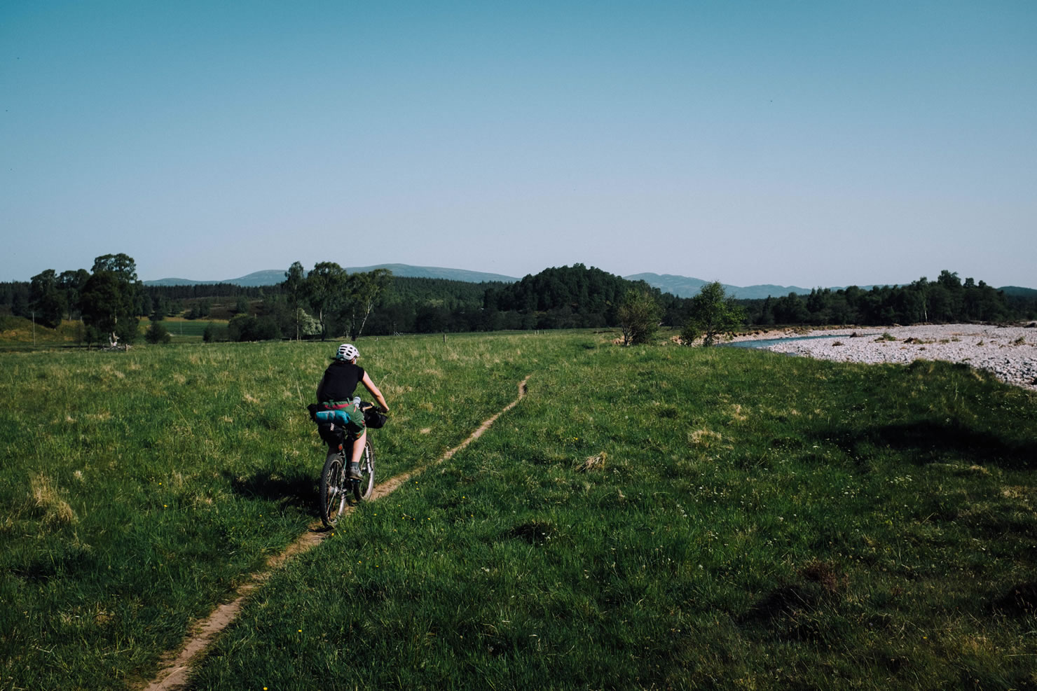
% Singletrack
40%
% Rideable (time)
90%
Total Ascent
11,325'
(3,452 M)High Point
2,607'
(795 M)Difficulty (1-10)
7?
- 4Climbing Scale Fair63 FT/MI (12 M/KM)
- -Technical Difficulty
- -Physical Demand
- -Resupply & Logistics
Contributed By
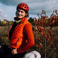
Przemek Duszynski
Guest Contributor
Hiker by nature, cyclist by heart. Przemek grew up in Central Poland getting repeatedly lost and found in local woodlands. Sometime in the 80s Przemek attempted his first longer cycling trip to the other side of town and ended up on house arrest. He is looking to expand the definition of “the other side of town” and thrives on places where cars fear to tread. Read more at inbetweenspokes.wordpress.com.
Inspired by similar endurance racing trails found in America, the Cairngorms Loop was originally organized as a self-supported ITT event by Steve Wilkinson with the first completions of the route registered back in 2012. Based on the classic Tour of the Cairngorms mountain biking route, the trail consists of two loops, inner and outer, encircling the Cairngorms National Park.
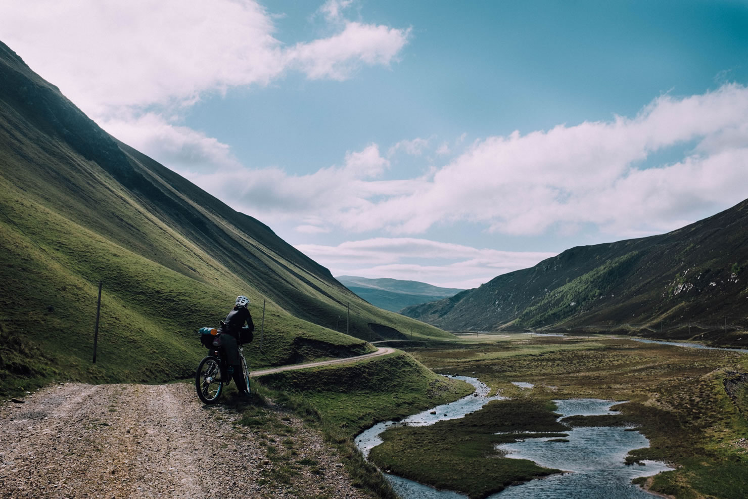
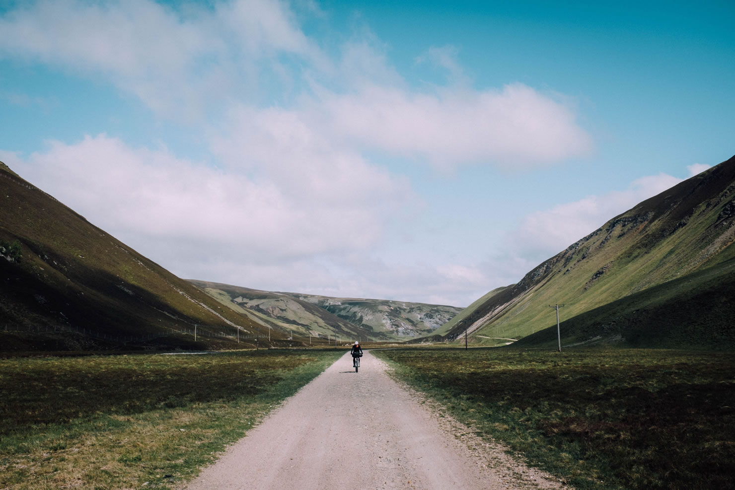
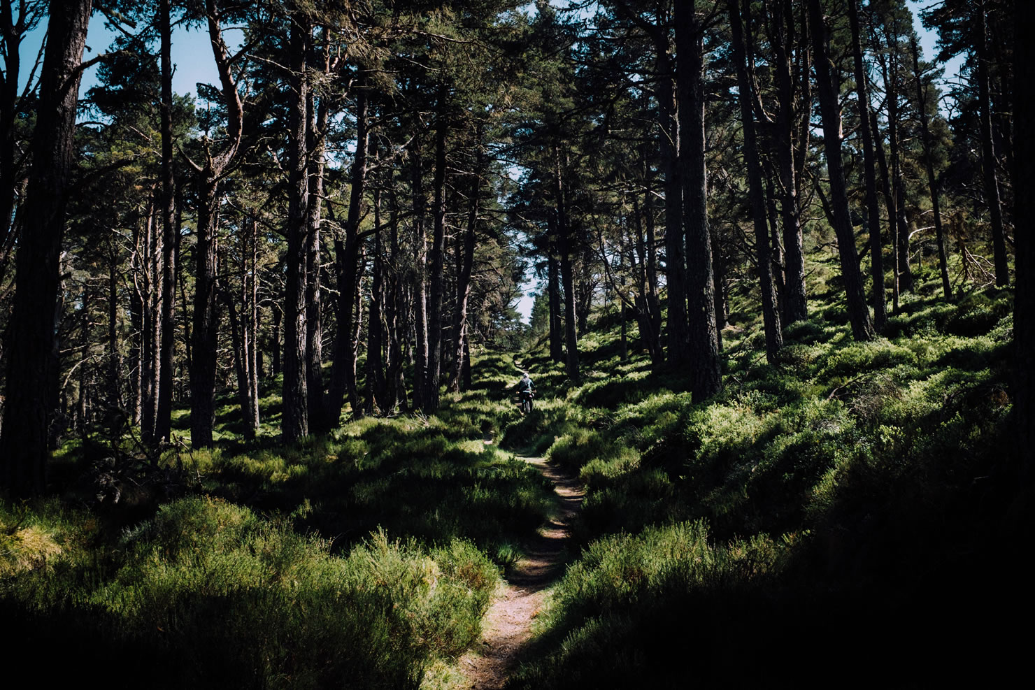
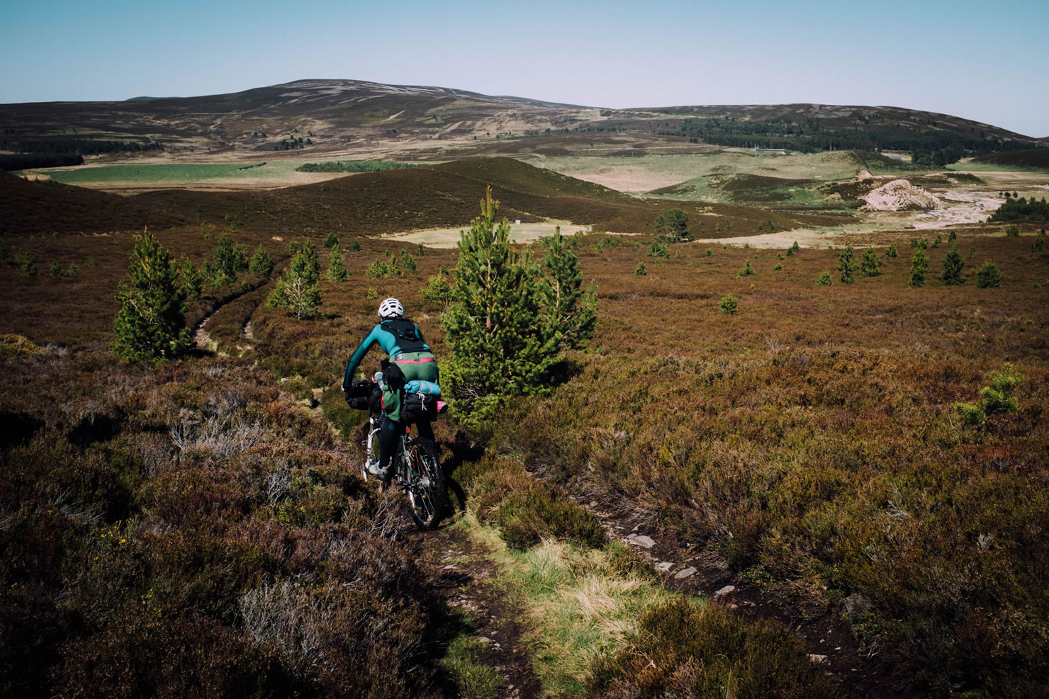
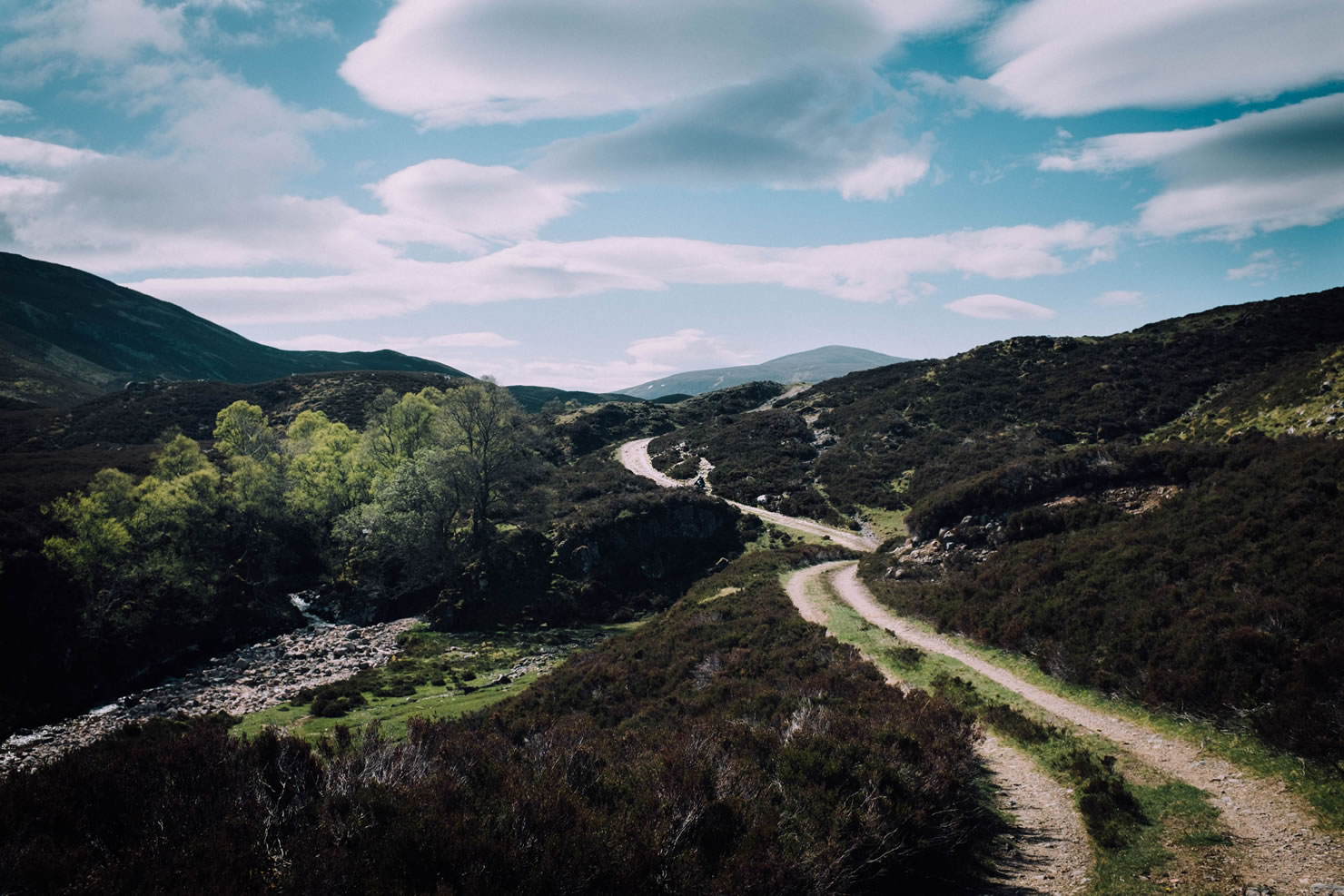
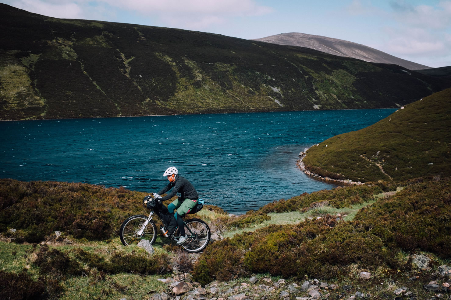
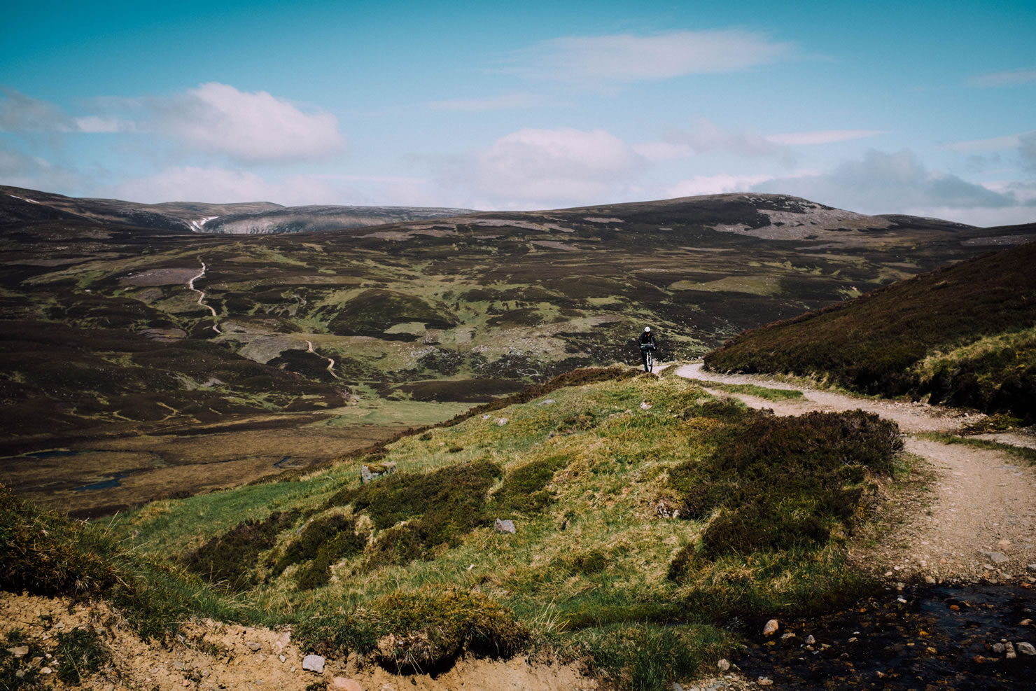
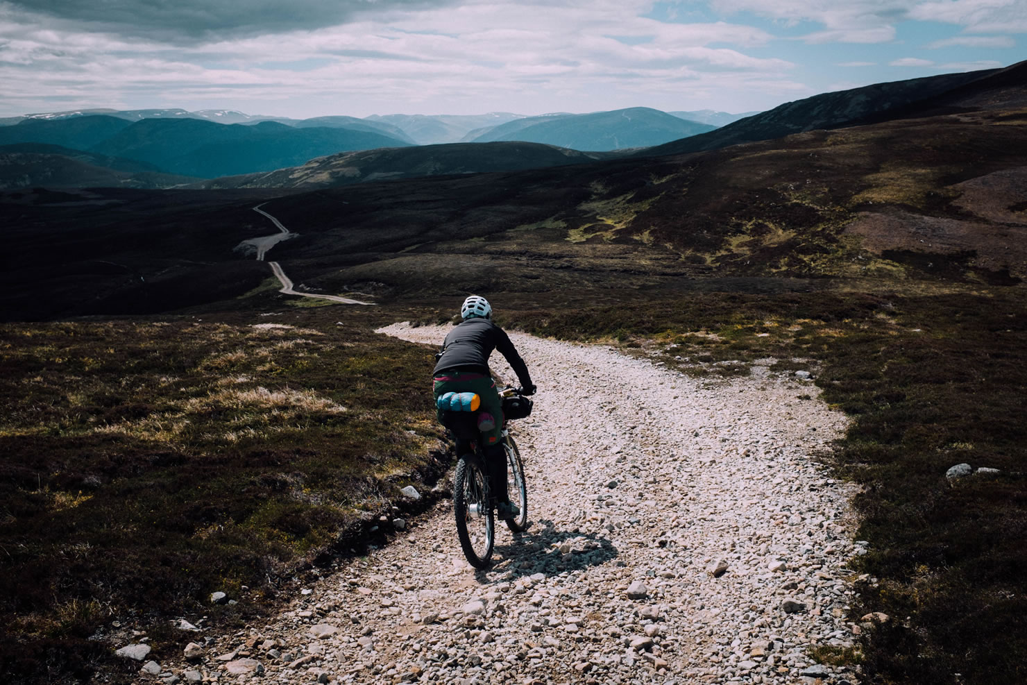
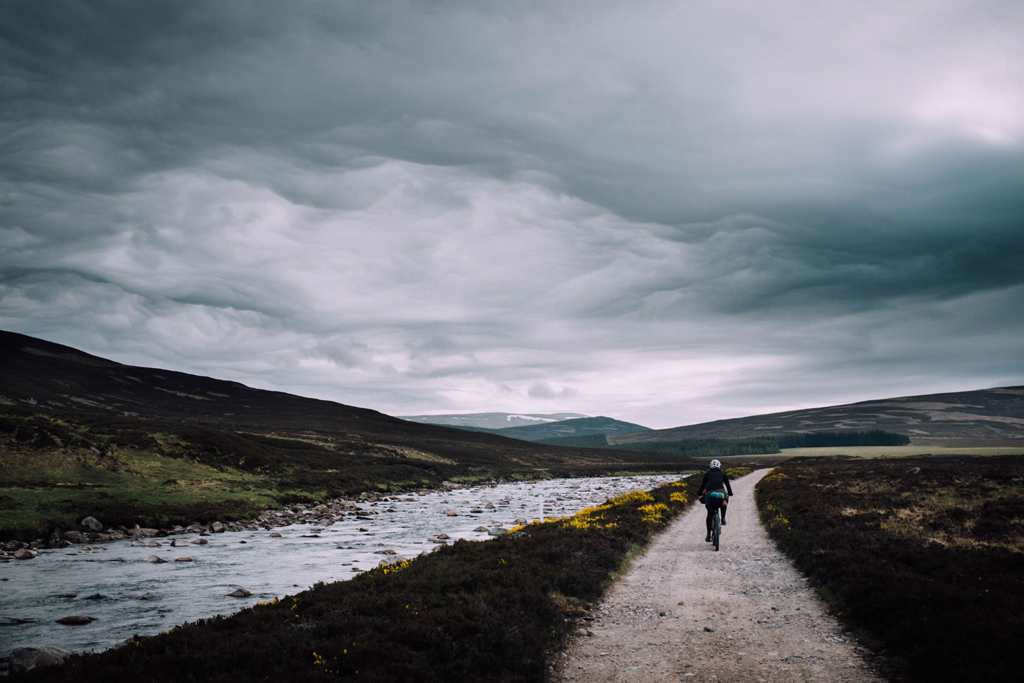
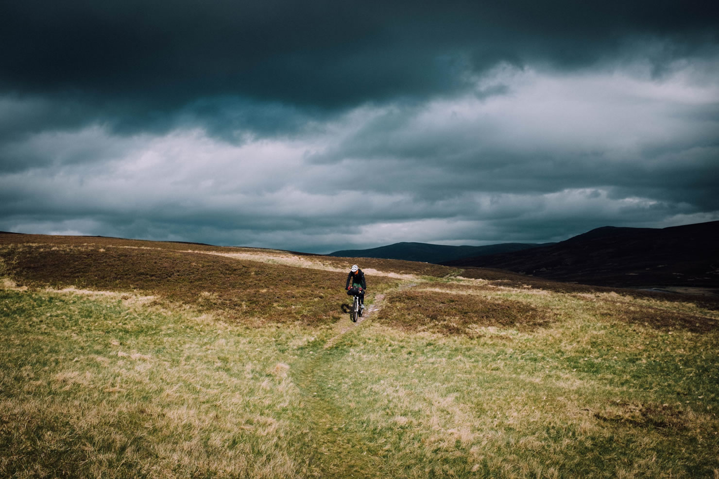
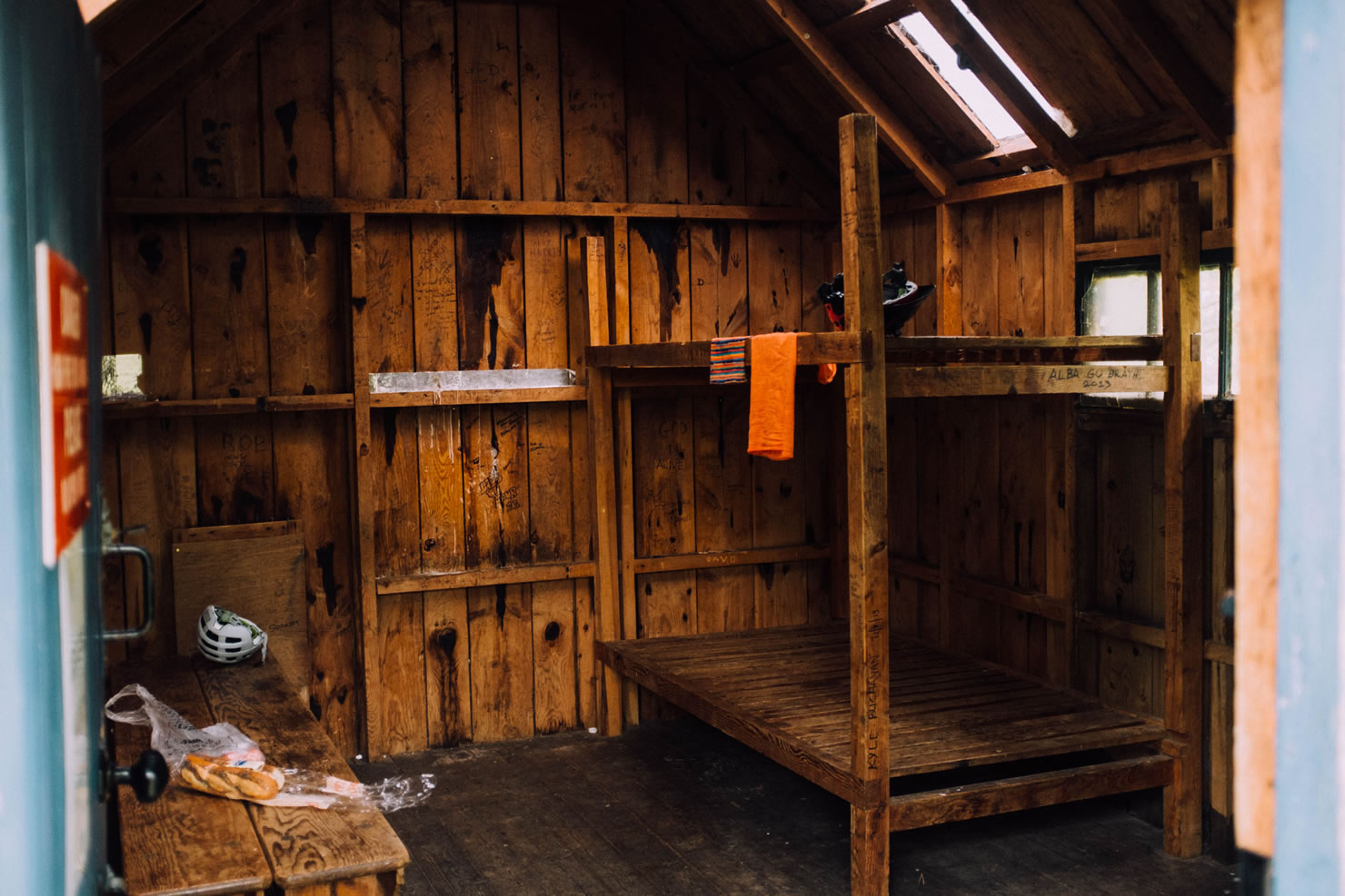
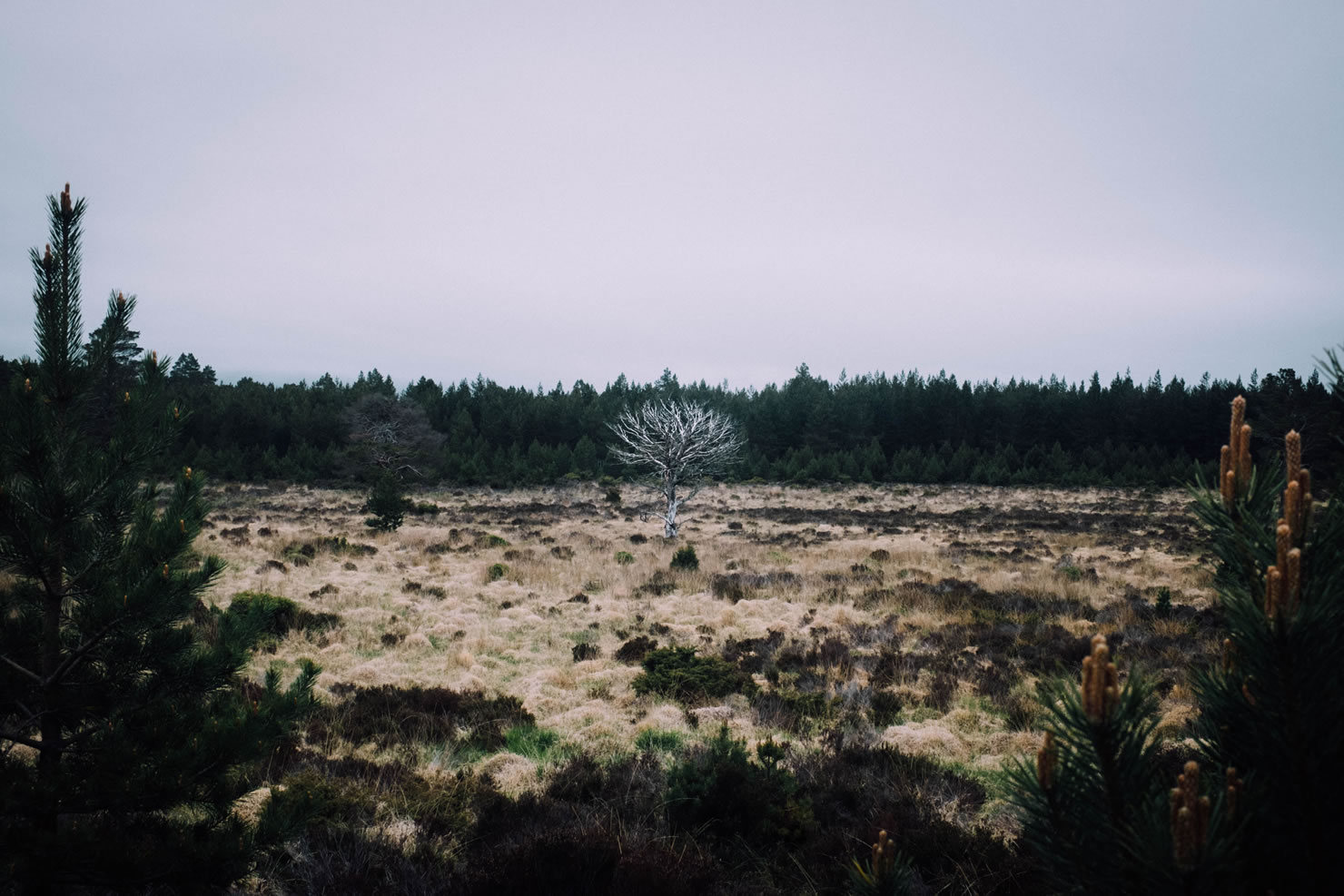
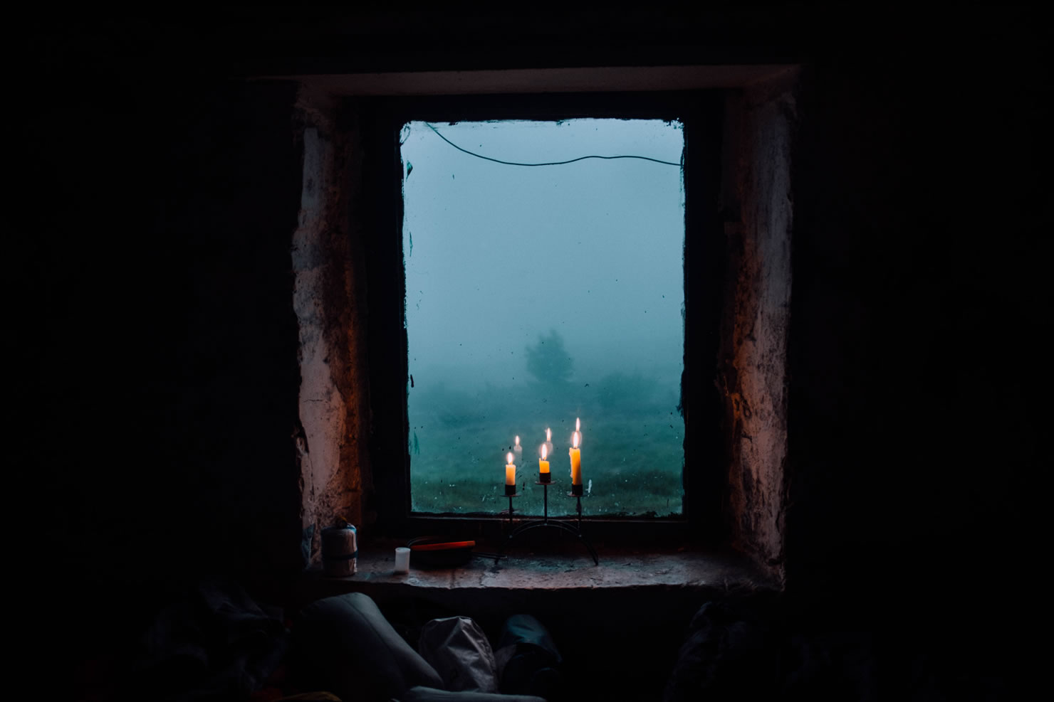
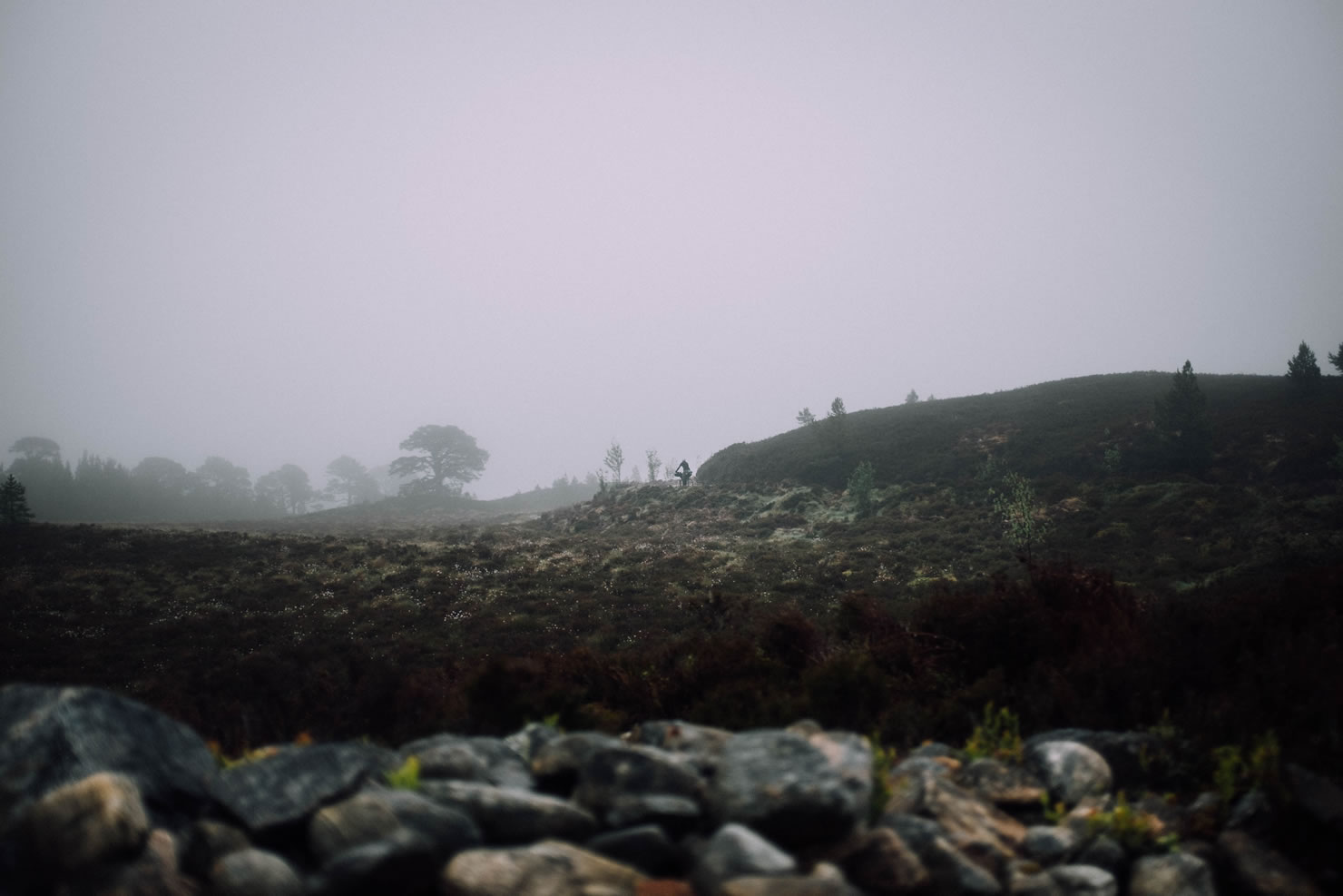
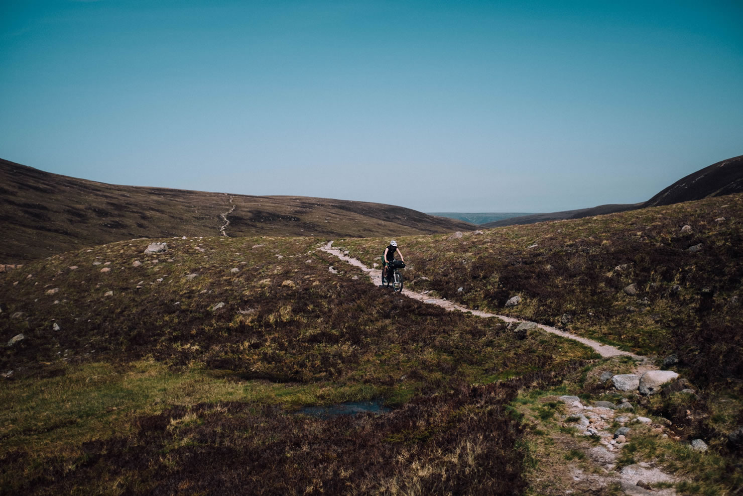
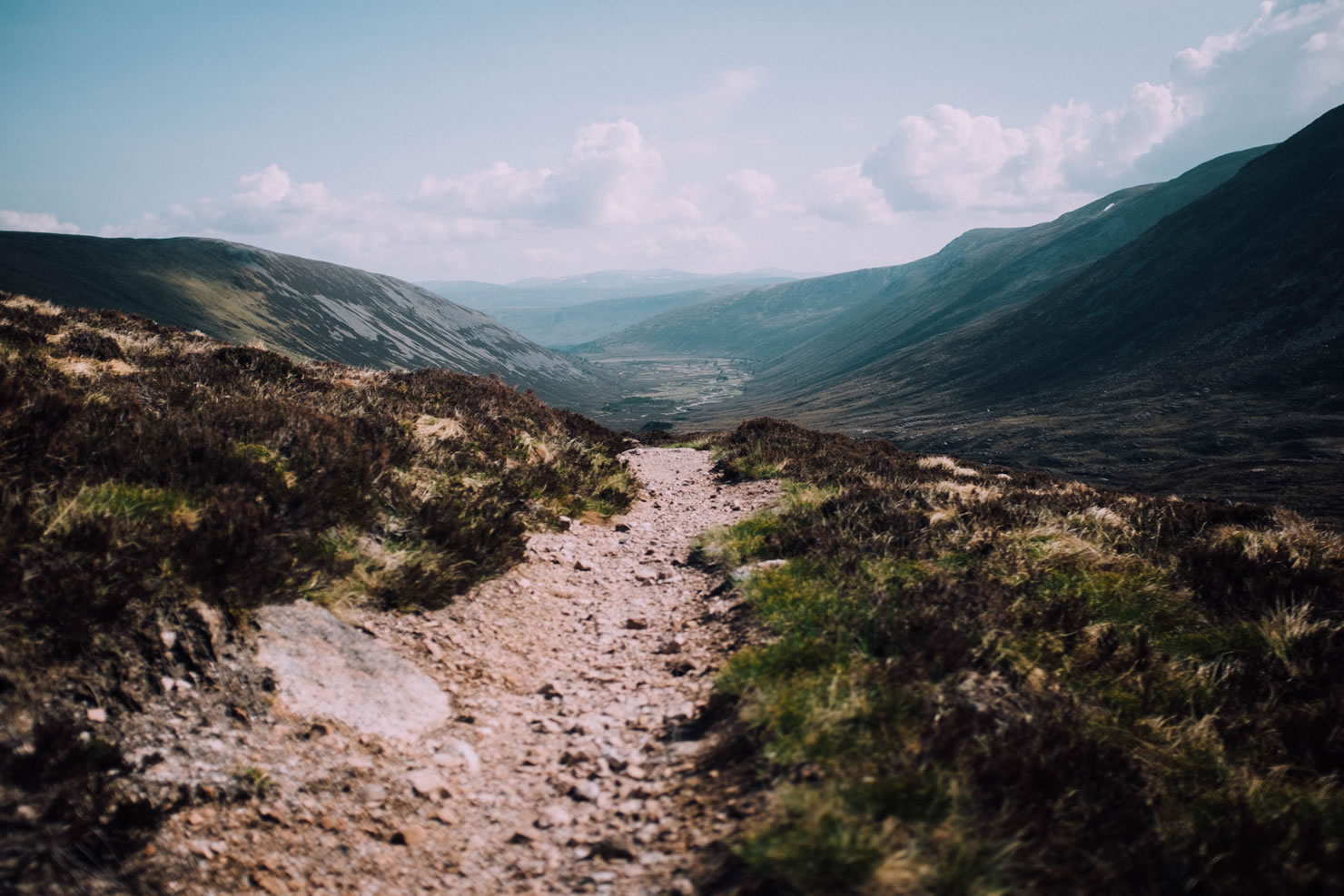
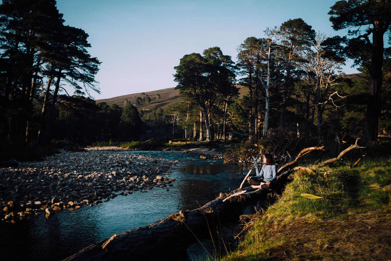
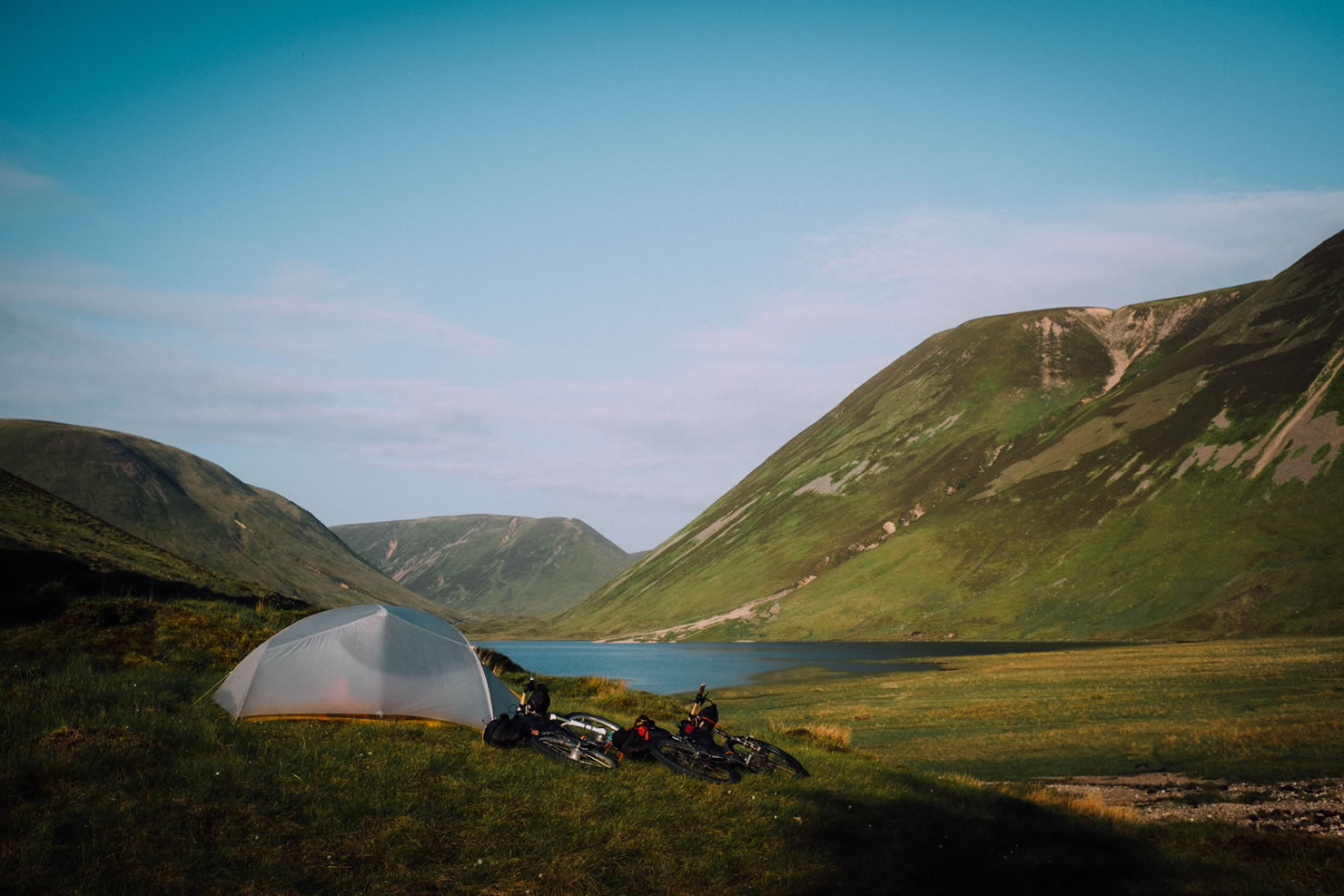
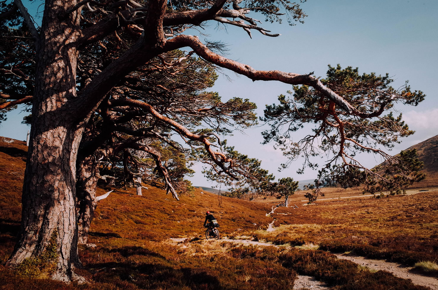
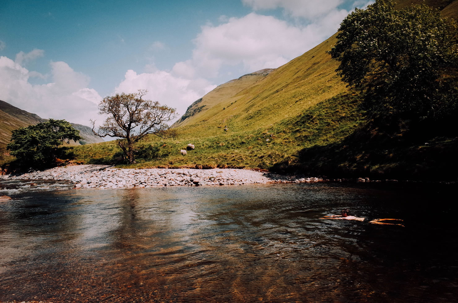
Going through some of Scotland’s most beautiful scenery, the Cairngorms Loop offers rider’s everything from long dirt road climbs through scenic strath, spine-chilling singletrack descents to epic hike-a-bikes. Bothies located along the route provide an option to wait out the worst of the Scottish weather and conveniently placed resupply points allow riders to plan ahead while still keep their load lightweight.
This route deviates from the original ITT route making it more ridable and more touring friendly. The start of the route is Aviemore allowing for a better resupply option before heading out. It also avoids a steep hike-a-bike to Blair Atholl through Fealar Lodge, instead continuing down to the city via Glen Tilt on singletrack and gravel roads. As of 2016 parts of the trail near Ruigh Aiteachain bothy have been washed out by violent storms and not restored – an alternative way to Feshie Bridge via Feshie Lodge road is part of this route.
Weather in the Scottish Highlands can be unpredictable and can go through all four seasons in just one day, be aware of that and plan your ride accordingly. Most of the towns en route offer public toilets, please help keep the Scottish wilderness pristine and make use of them whenever possible.


Submit Route Alert
As the leading creator and publisher of bikepacking routes, BIKEPACKING.com endeavors to maintain, improve, and advocate for our growing network of bikepacking routes all over the world. As such, our editorial team, route creators, and Route Stewards serve as mediators for route improvements and opportunities for connectivity, conservation, and community growth around these routes. To facilitate these efforts, we rely on our Bikepacking Collective and the greater bikepacking community to call attention to critical issues and opportunities that are discovered while riding these routes. If you have a vital issue or opportunity regarding this route that pertains to one of the subjects below, please let us know:
Highlights
Must Know
Camping
Food/H2O
Trail Notes
Resources
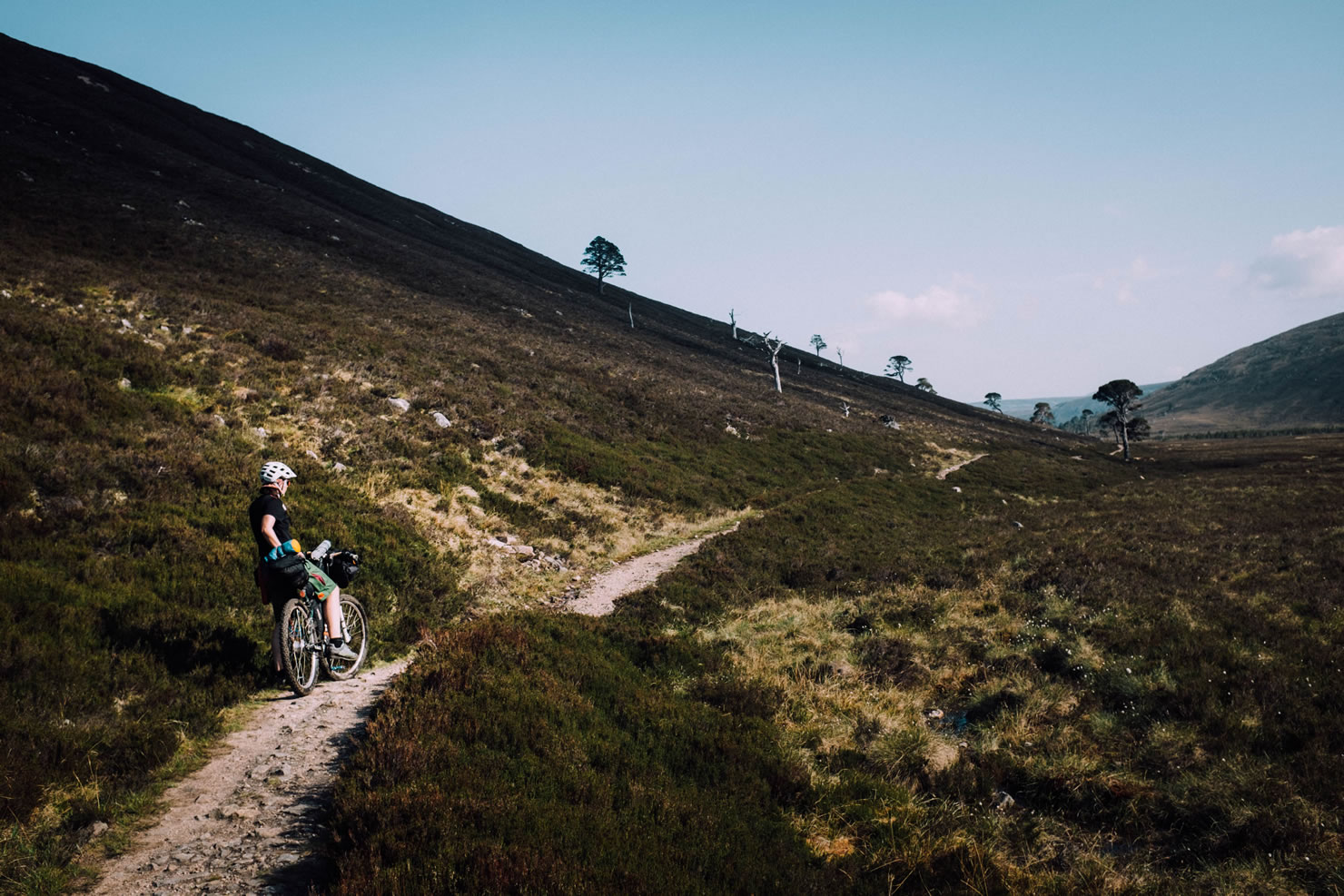
- Singletrack down to Glenn Derry is a stunning ride ending in one of the most beautiful areas along the whole trail,
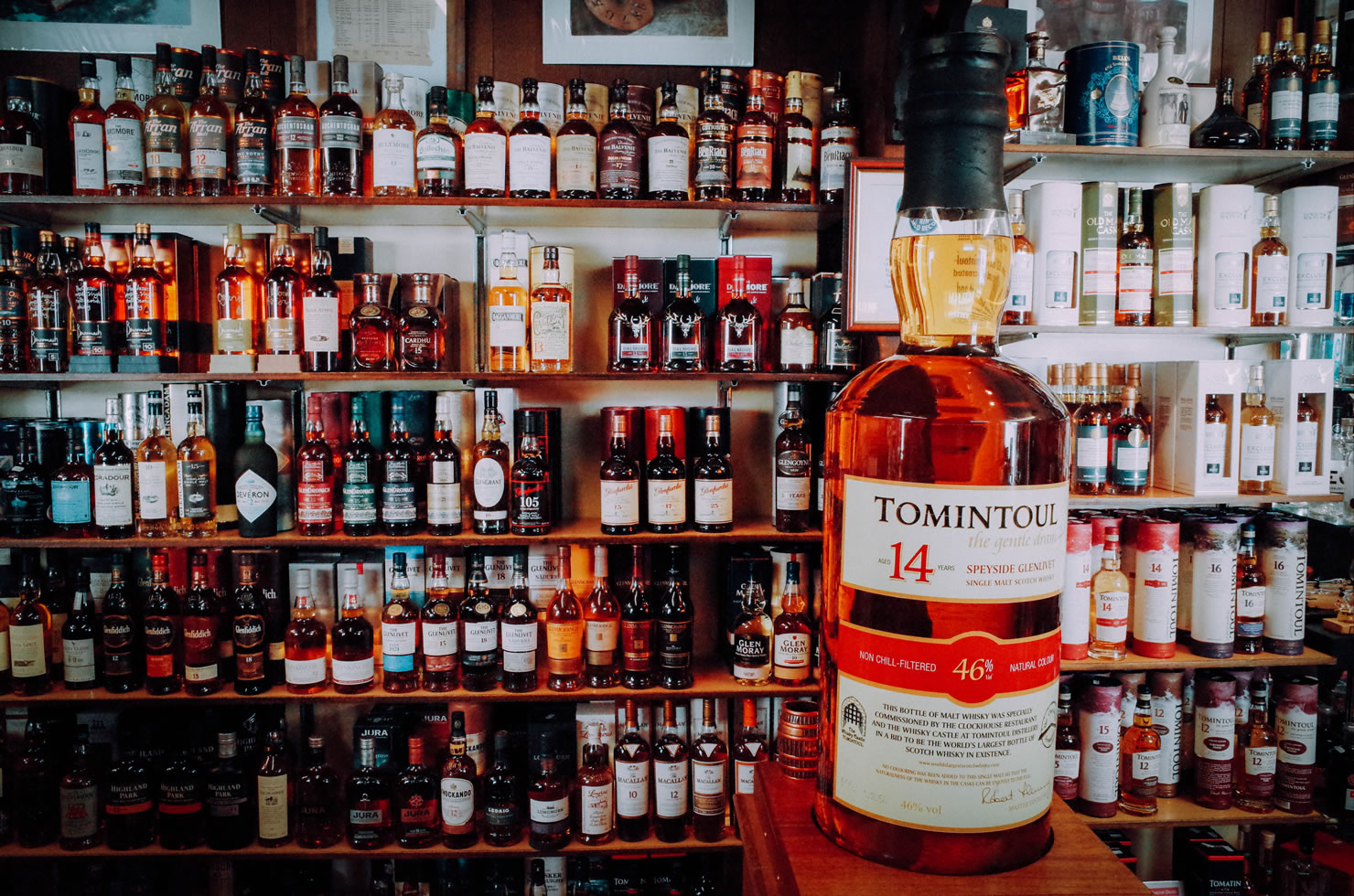
- The world’s biggest single malt whisky bottle can be seen in Tomintoul’s Whisky Castle,
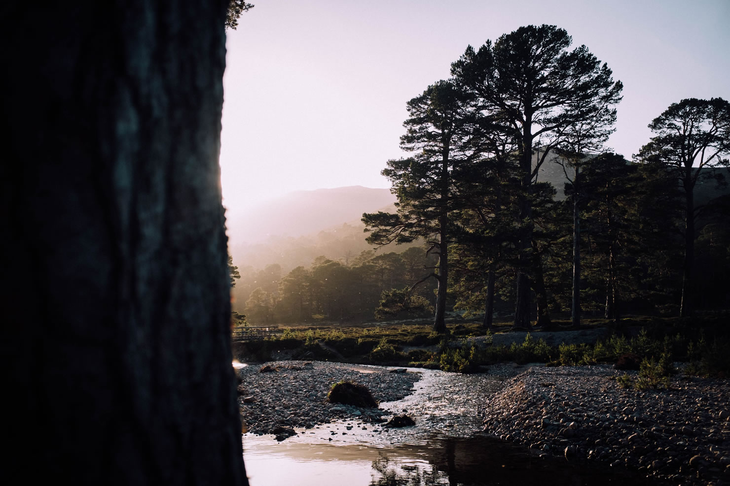
- The Caledonian Forest is a prime example of ancient Scottish landscape and is home to some globally unique specimens,
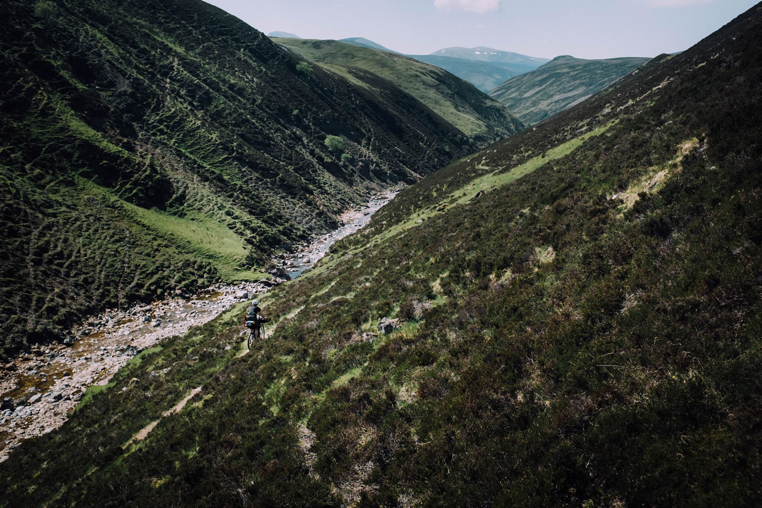
- Route section between Bynack Lodge ruins and Glen Tilt offers a superb and challenging trail ride along the valley’s steep hillsides,
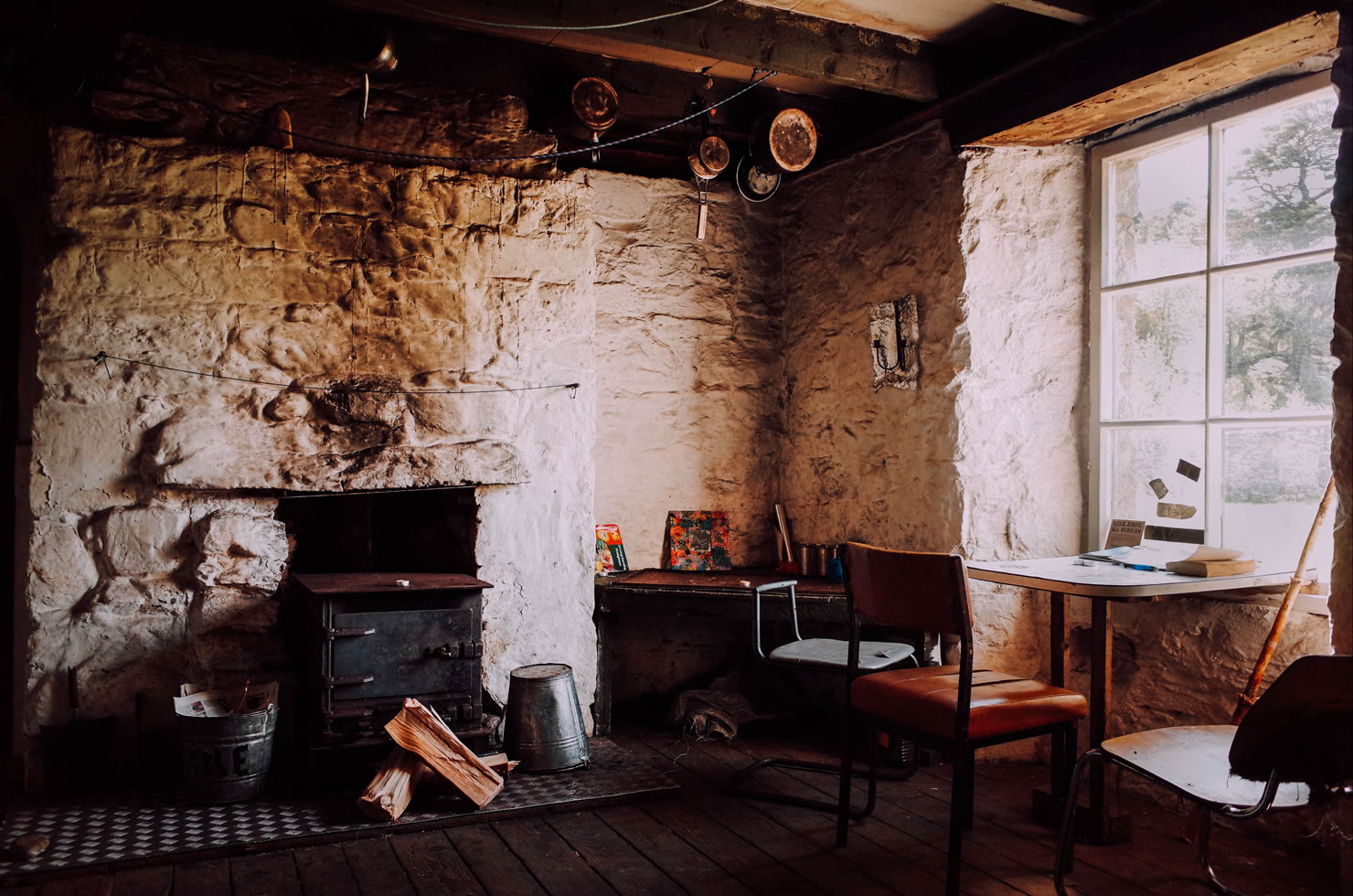
- Ruigh Aiteachain bothy, surrounded by old pine trees is a great place to wait out bad weather,
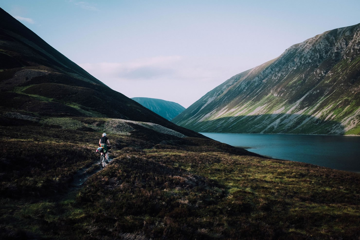
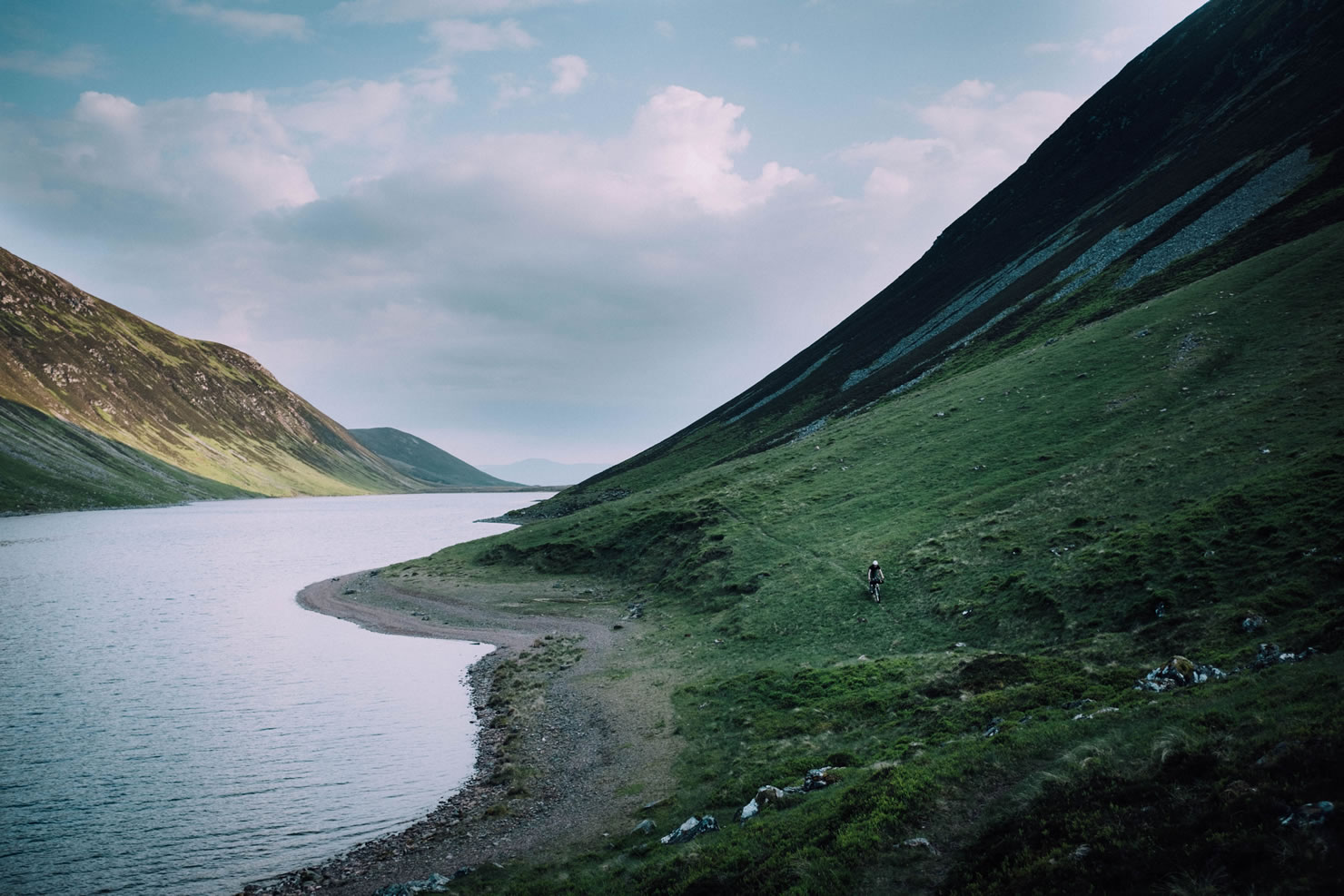
- Traversing exposed Highlands terrain near Fords of Avon,
- Lush green landscape around the Gaick Pass is a great opportunity for a last wild camp before returning to Aviemore.
- Glenlivet distillery is just 8 miles away from where the route crosses Tomintoul, and offers free tours. Rejoining the route can be made by connecting parts of the Speyside Way and Glenlivet Estate mountainbiking trails.
- Best time to visit Scotland is early in the season. May is historically the driest month of the year and numbers of midges are low. Weather may be too volatile after late September/early October.
- The Cairngorm National Park can be easily reached via ScotRail services from Glasgow and Edinburgh.
- Having a no-see-ums approved head net will keep one sane when facing swarms of midges.
- Red Deer stalking season runs from July 1st to 15th February reaching its peak between August and October. Riding the trail in this period should be avoided.
- Wild camping is very popular in Scotland and finding a suitable place in the Highlands is rarely a problem.
- There are five bothies along the trail, although two of them (Fords of Avon and Inshriach) offer nothing but emergency shelter. These are quite popular amongst Scotsman and can get busy during weekends and bank holidays.
- Drinking water is generally not a problem and water purification not necessary. Use common sense i.e. drink from fast flowing mountain stream, be wary of animal carcases upstream.
- Major resupply points can be found in Aviemore, Blair Atholl and Braemar. There are small shops in Tomintoul and Glenmore but don’t expect them to be open late.
- This route is not signposted nor otherwise marked. Some sections can be difficult to navigate in bad weather a reliable GPS unit is highly recommended.
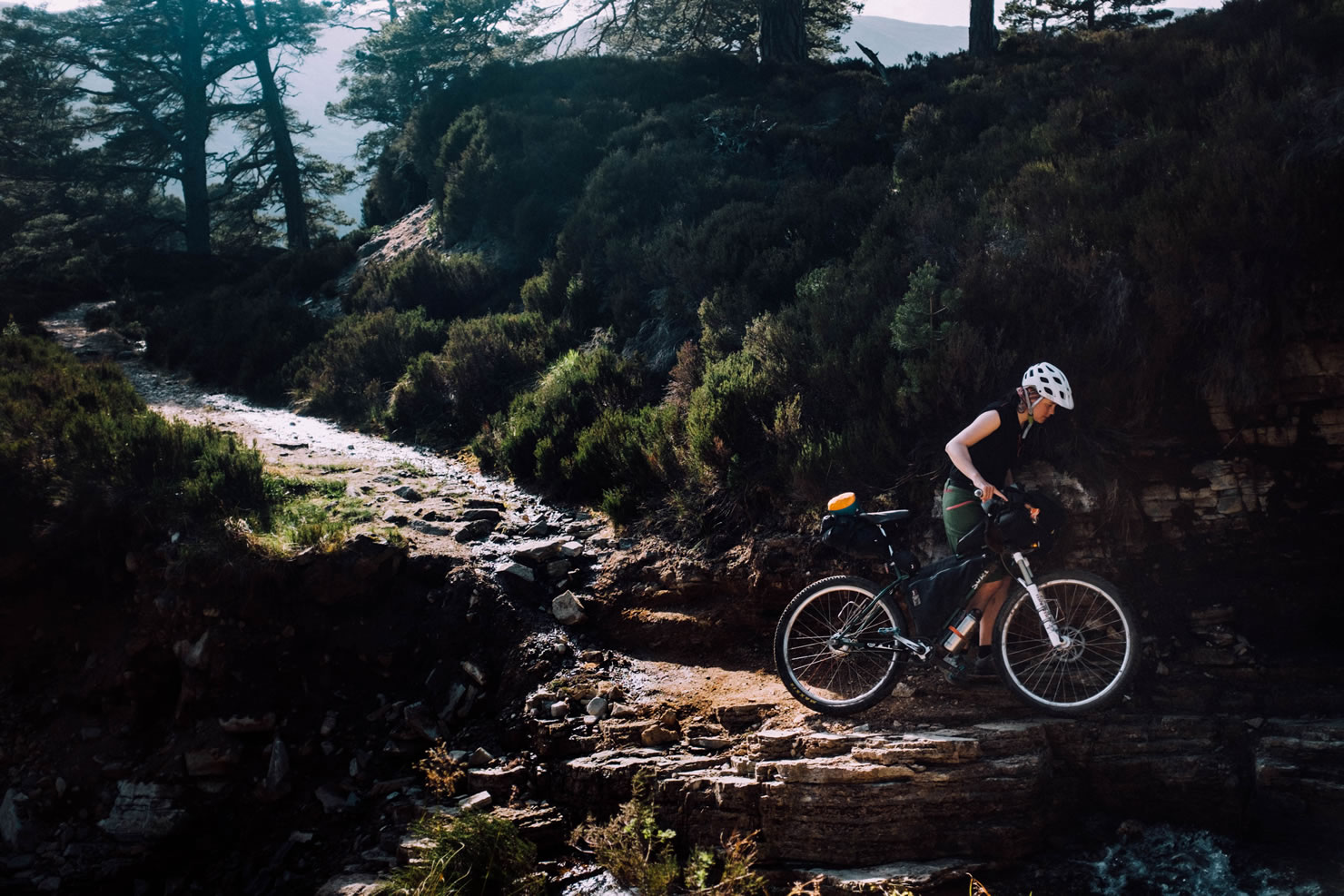
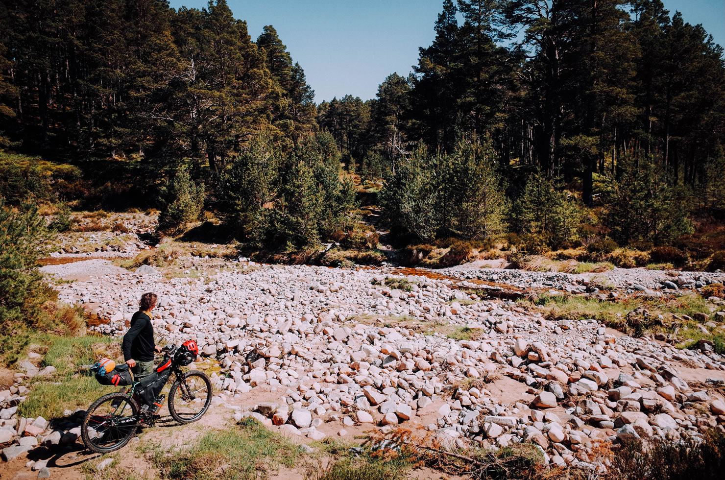
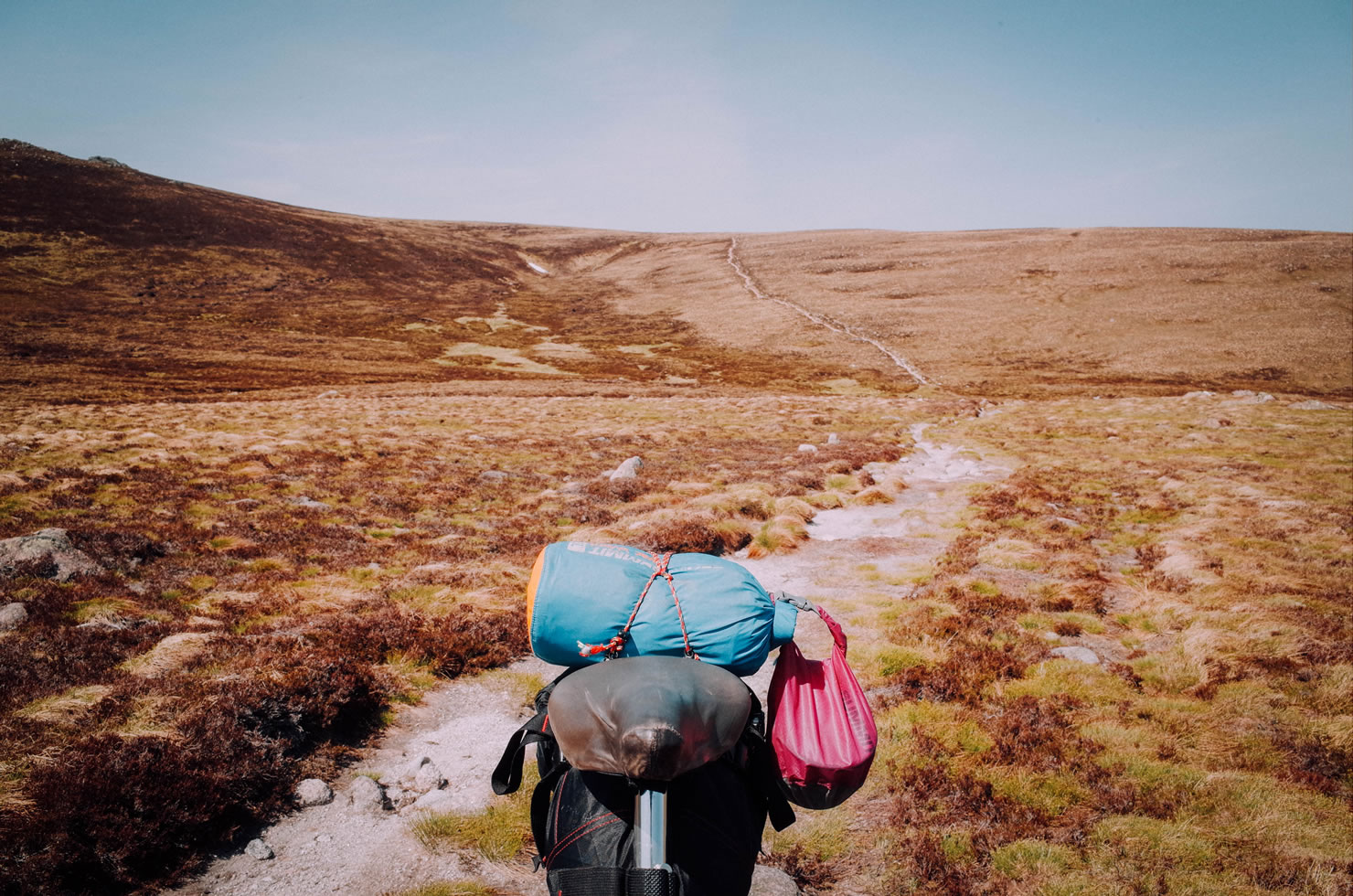
- There are two notable hika-a-bike sections, one through the marshland between White Bridge and Feshie Lodge, second leading through the Fords of Avon to the Lairig an Laoigh pass. Anticipate slower progress.
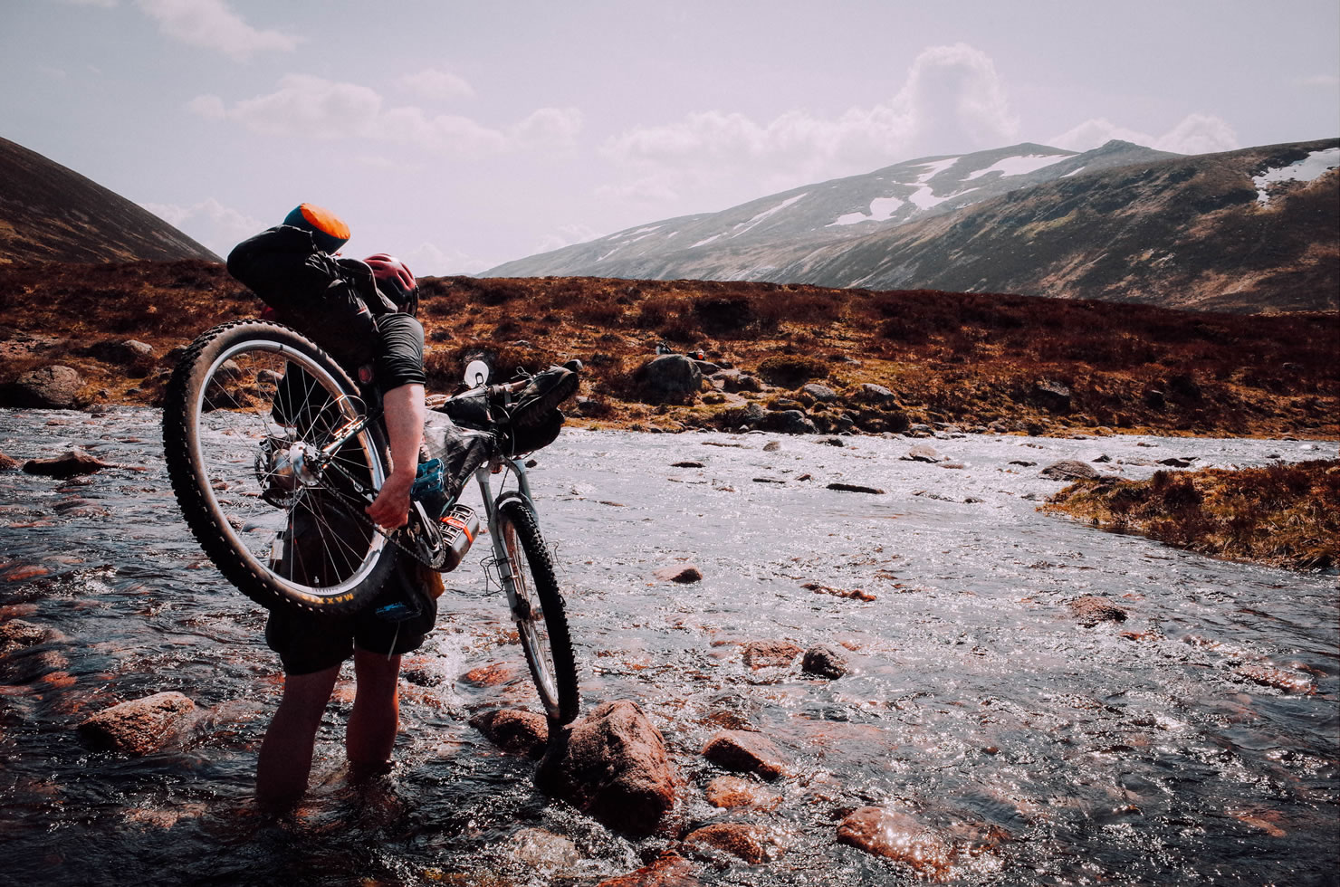
- Expect one major river crossing near Fords of Avon, which is generally easy, but water levels can rise dramatically after prolonged periods of rain or out of summer season.
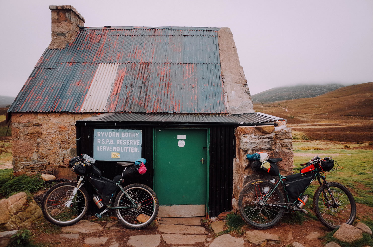
- Ryvoan bothy is a great stopping point before crossing the most exposed section of the route going through Fords of Avon.
Additional Resources
- cairngormsloop.net– the official page of the route containing the unaltered version of the ITT trail
- mountainbothies.org.uk – Home of Mountain Bothies Association
- deerstalkingscotland.co.uk – Detailed information on deer stalking season
- bikehike.co.uk – On-line service with access to Ordnance Survey topographic maps.
- glenlivetestate.co.uk – Glenlivet Estate mountainbiking guide
- glenlivetestate.co.uk/media/– Glenlivet Estate trail map


Terms of Use: As with each bikepacking route guide published on BIKEPACKING.com, should you choose to cycle this route, do so at your own risk. Prior to setting out check current local weather, conditions, and land/road closures. While riding, obey all public and private land use restrictions and rules, carry proper safety and navigational equipment, and of course, follow the #leavenotrace guidelines. The information found herein is simply a planning resource to be used as a point of inspiration in conjunction with your own due-diligence. In spite of the fact that this route, associated GPS track (GPX and maps), and all route guidelines were prepared under diligent research by the specified contributor and/or contributors, the accuracy of such and judgement of the author is not guaranteed. BIKEPACKING.com LLC, its partners, associates, and contributors are in no way liable for personal injury, damage to personal property, or any other such situation that might happen to individual riders cycling or following this route.
Please keep the conversation civil, constructive, and inclusive, or your comment will be removed.