


Bikepacking the Camelsfoot Range
Distance
98 Mi.
(158 KM)Days
4
% Unpaved
100%
% Singletrack
42%
% Rideable (time)
90%
Total Ascent
15,000'
(4,572 M)High Point
7,975'
(2,431 M)Difficulty (1-10)
8?
- 10Climbing Scale Very Strenuous153 FT/MI (29 M/KM)
- -Technical Difficulty
- -Physical Demand
- -Resupply & Logistics
Contributed By
Skyler Des Roches
Off Route
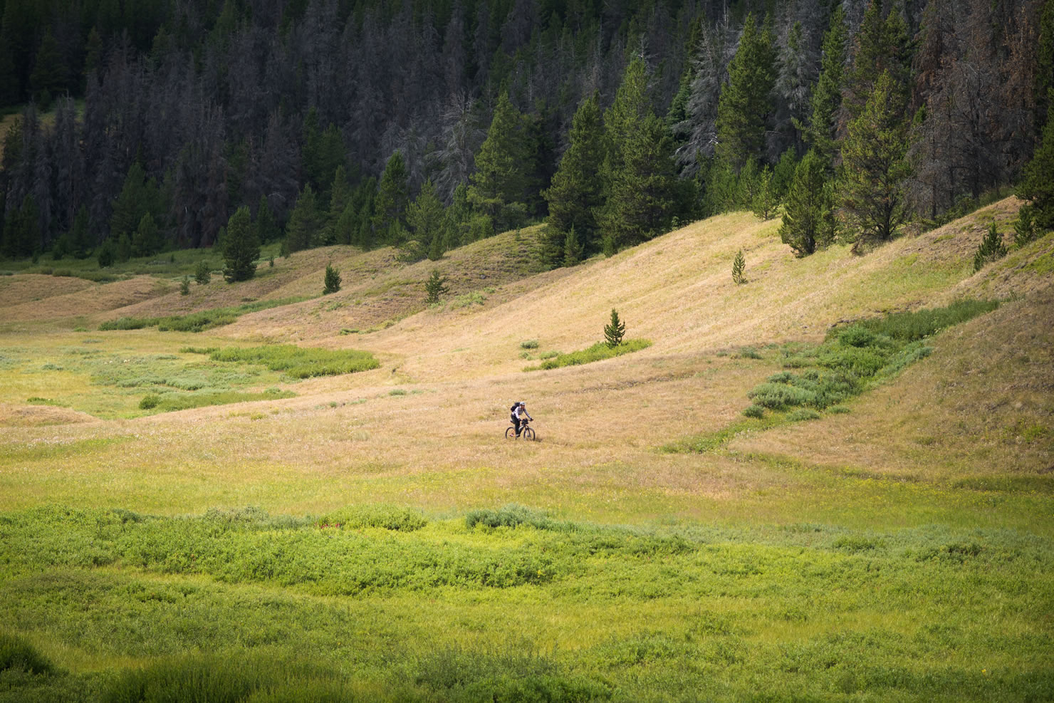
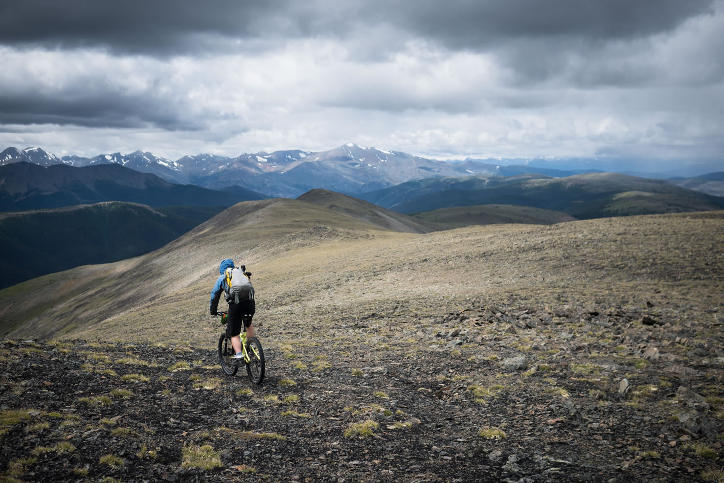
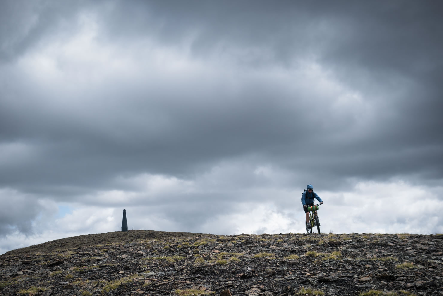
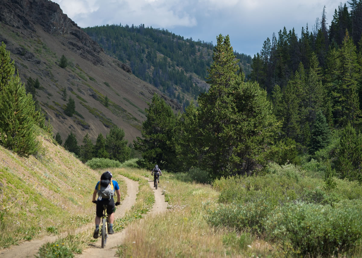
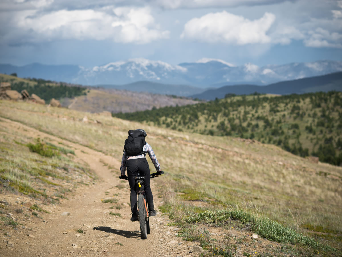
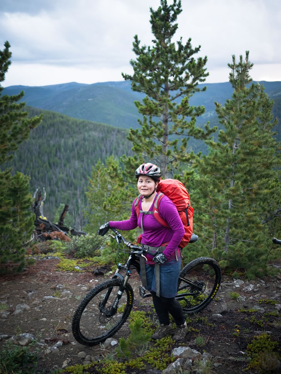
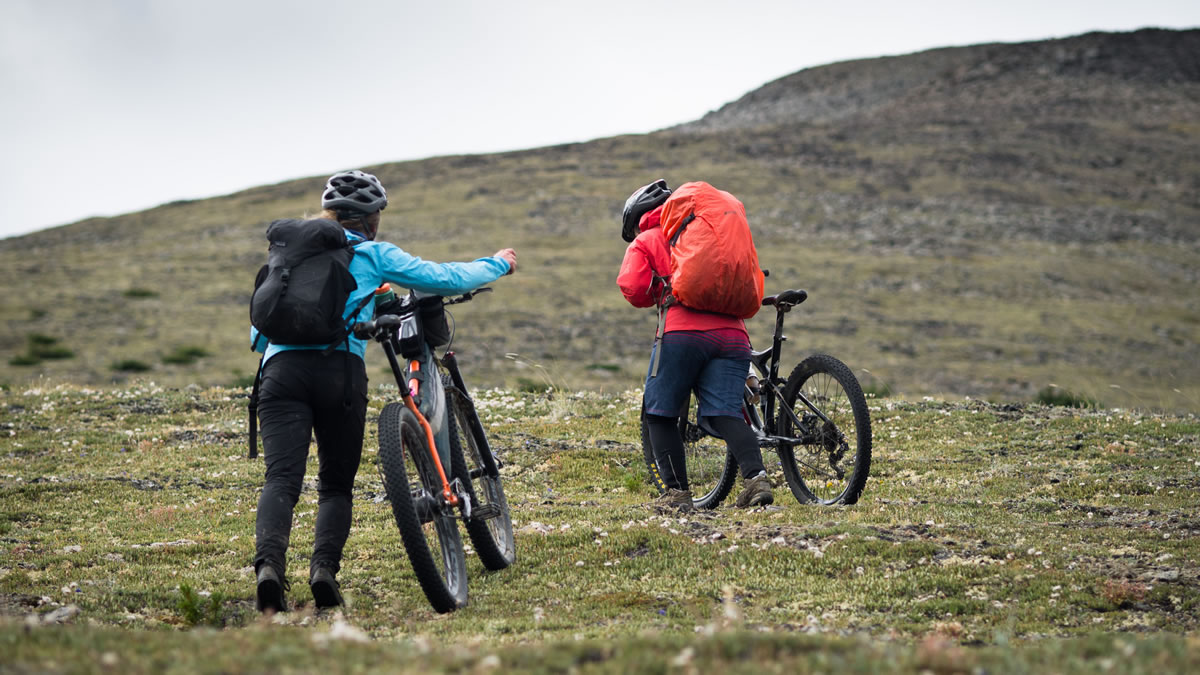
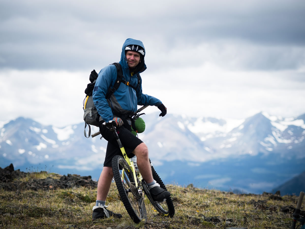
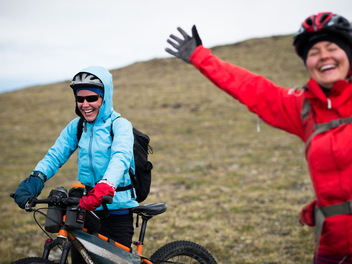
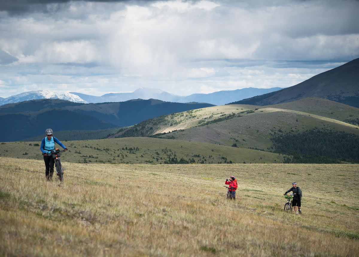
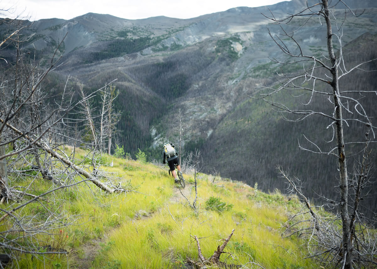
There’s an unusually long and gentle alpine ridge making a stripe across the Camelsfoot Range – Nine Mile Ridge. Parallel, and just north, is the now closed China Head FSR, which is described as, “washed out, very rough, and only suitable for 4WD vehicles.” Perfect as a link into a loop with that big ridge. We started at Tyaughton Creek, in the South Chilcotins, and headed east – around the top of the Shulaps Range, across the upper reaches of the Yalakom Valley, and on to our elongated loop, twice across the top of the Camelsfoot. The resulting 4-day, 160km route wildly exceeded all expectations.
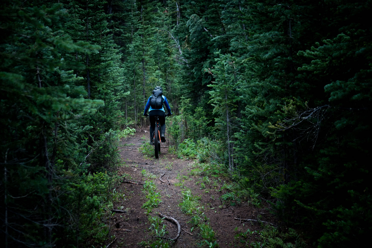
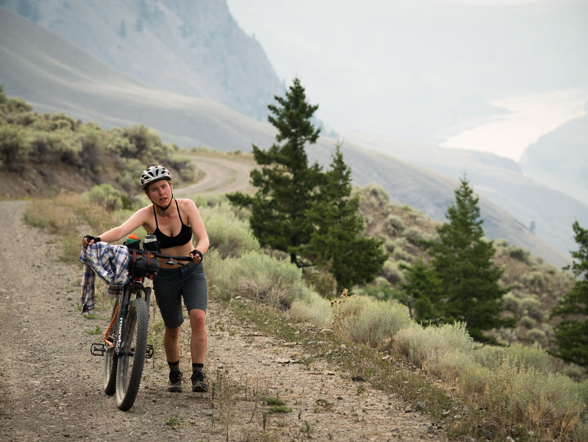
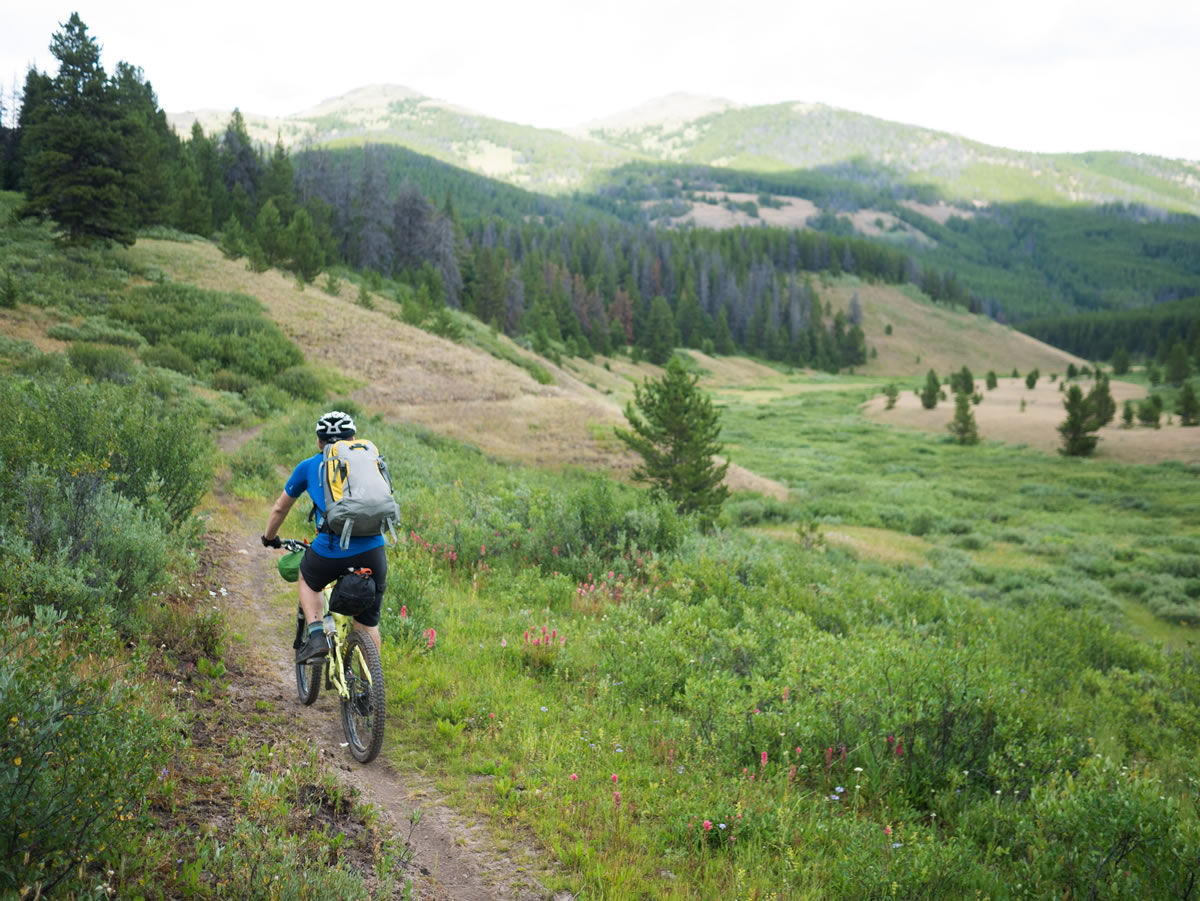
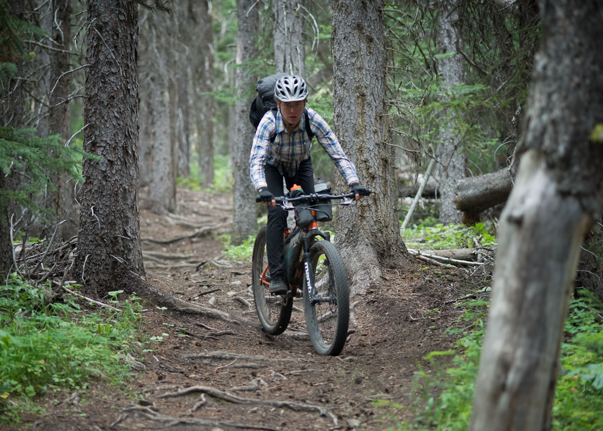
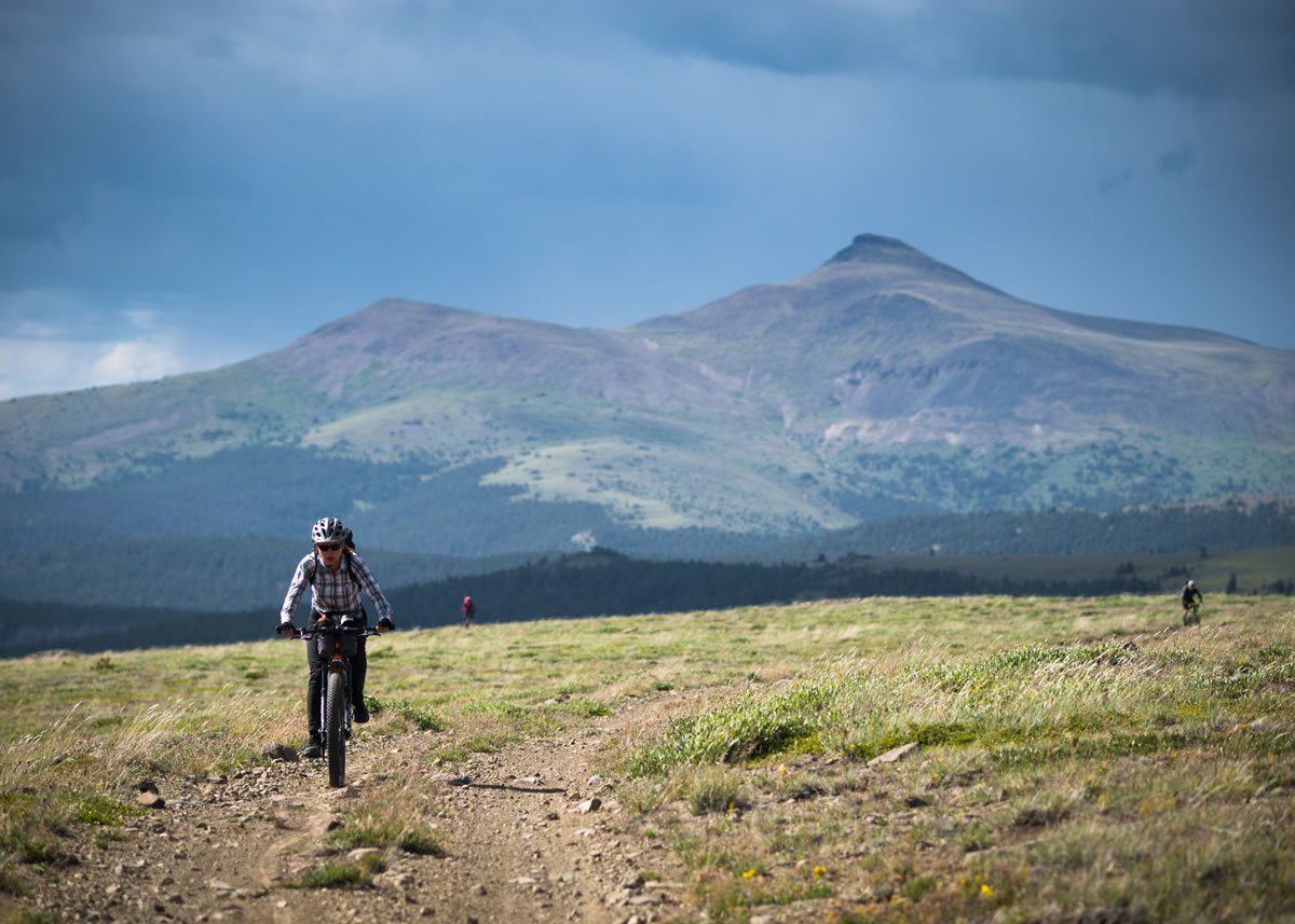
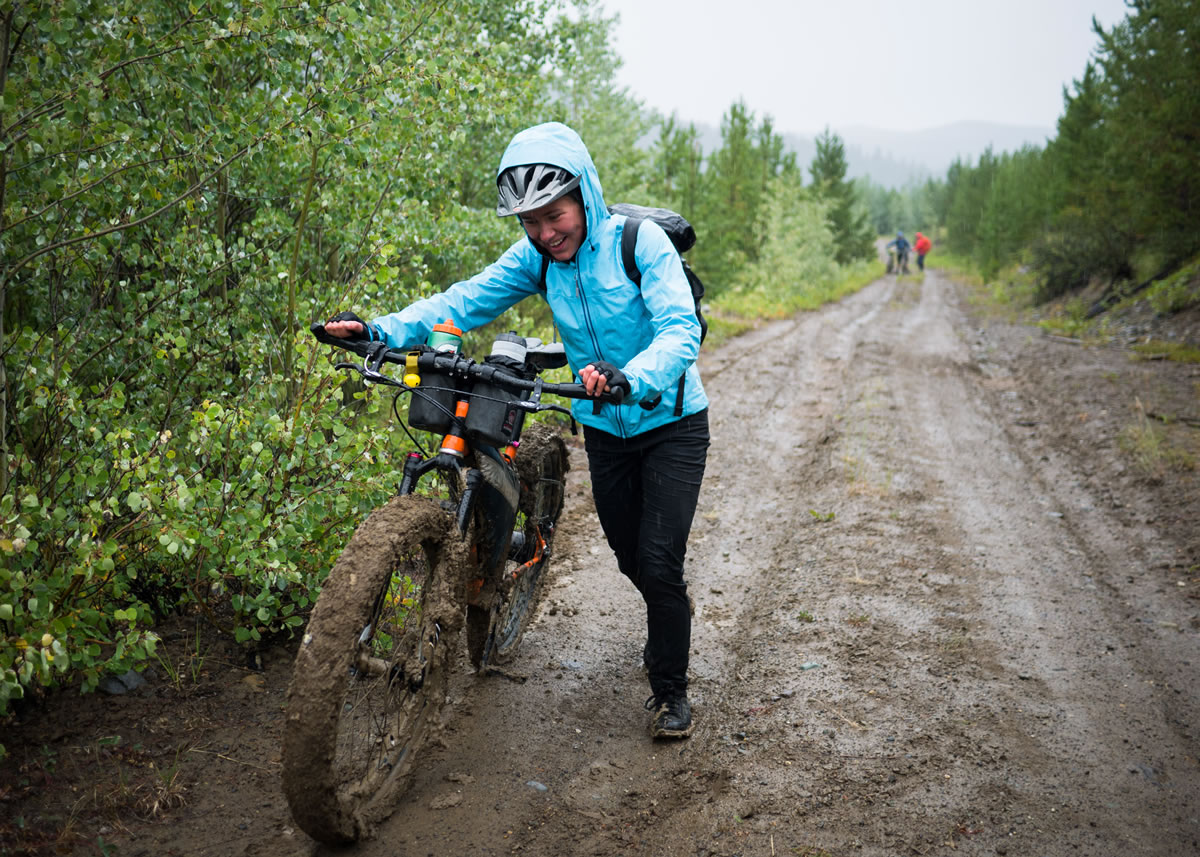
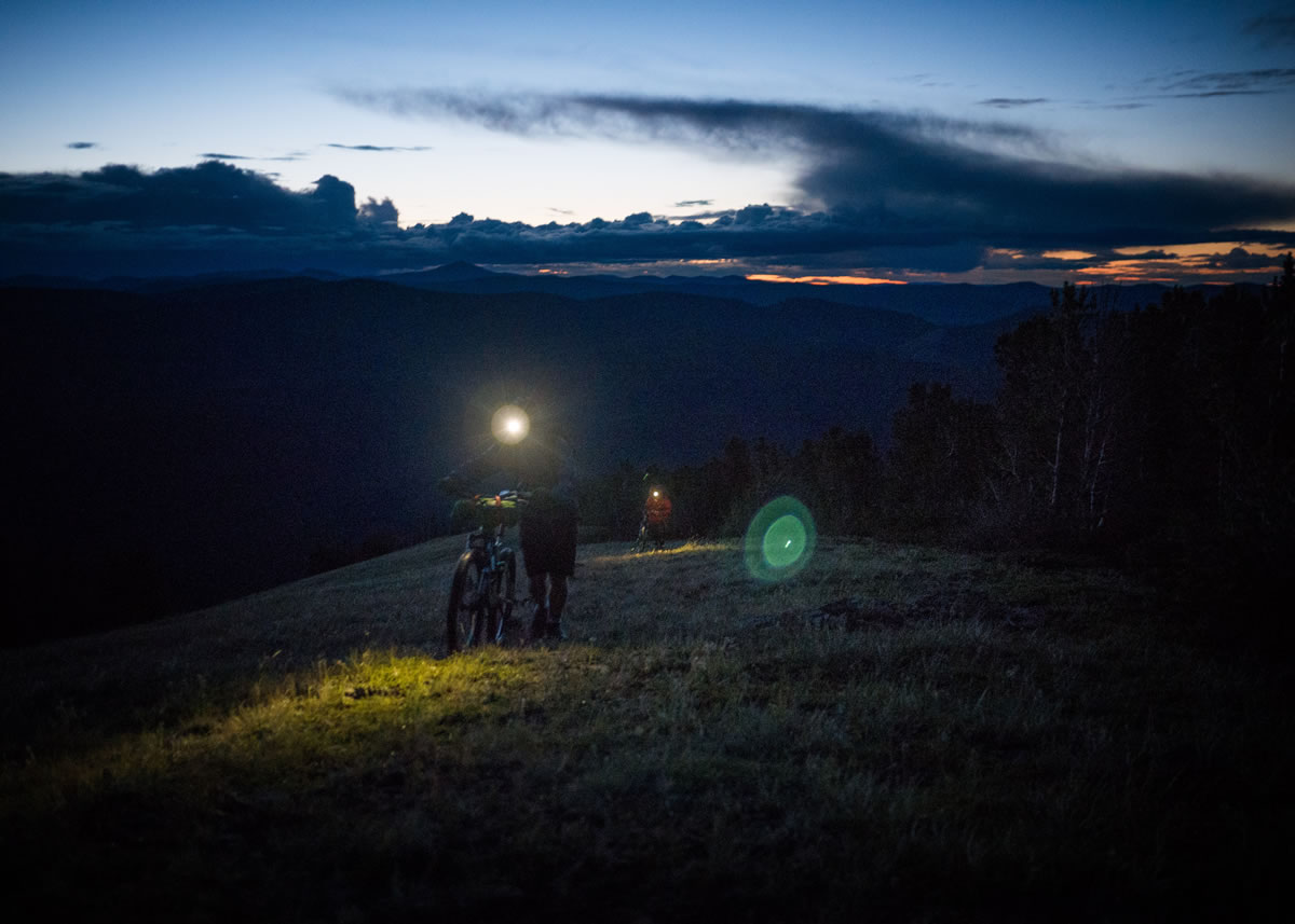
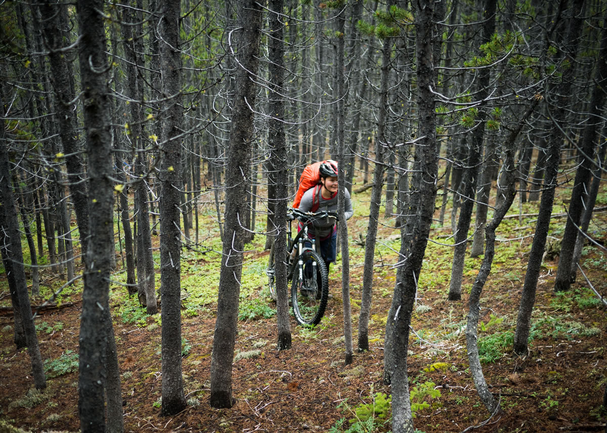
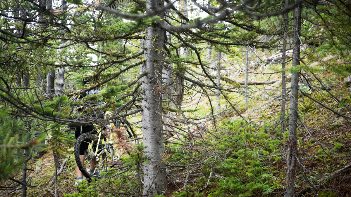
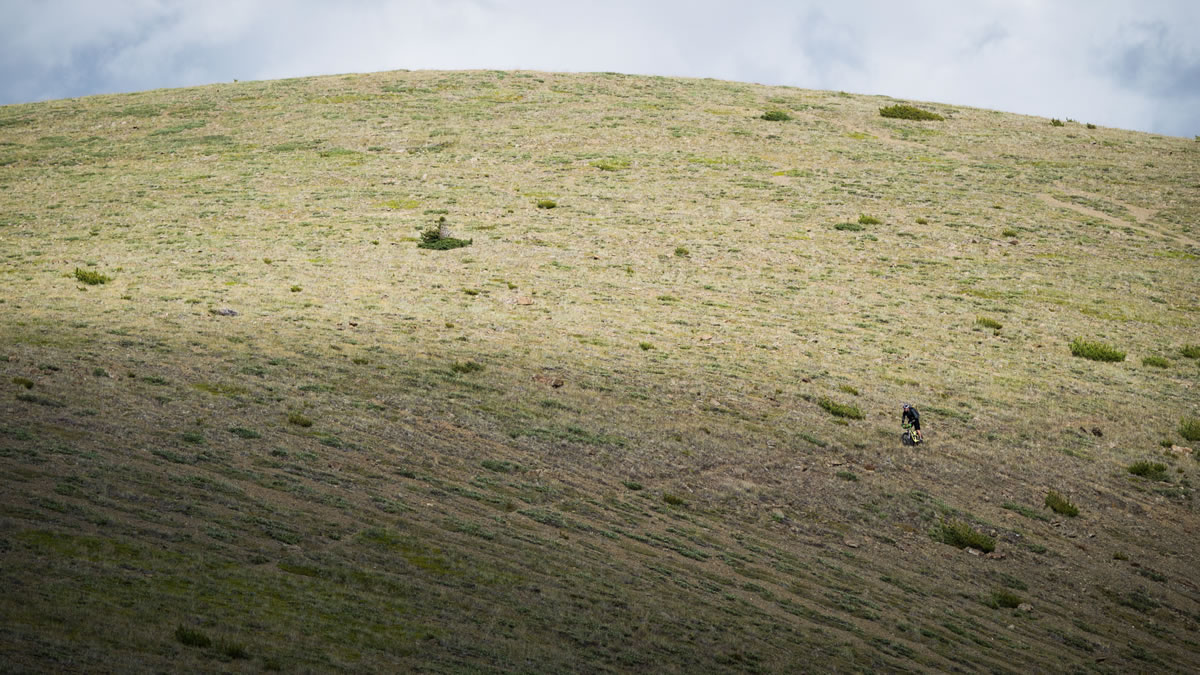
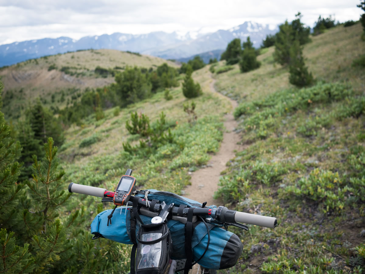
Ridden in a clockwise direction, the toughest climbs are on two-track, with the exception of the final bushwhack and trailess grunt up onto Nine Mile Ridge, and the abundant singletrack, often through spectacular meadows, is kept flowy and fun. But, this route is far from easy. Don’t be fooled into comparing distances to more classic, American bikepacking trails. Only the fittest riders, quick to hike-a-bike, and ready for long days, will exceed 40km per day. Still, the rewards, in the quality of riding and scenery, are proportional to the effort. Fortunately, the trail is merciful, with stretches of fast, fun riding, buffering moments of low-speed, highly technical and high-effort challenge. For me, this is the perfect bikepacking cocktail.


Submit Route Alert
As the leading creator and publisher of bikepacking routes, BIKEPACKING.com endeavors to maintain, improve, and advocate for our growing network of bikepacking routes all over the world. As such, our editorial team, route creators, and Route Stewards serve as mediators for route improvements and opportunities for connectivity, conservation, and community growth around these routes. To facilitate these efforts, we rely on our Bikepacking Collective and the greater bikepacking community to call attention to critical issues and opportunities that are discovered while riding these routes. If you have a vital issue or opportunity regarding this route that pertains to one of the subjects below, please let us know:
Highlights
Must Know
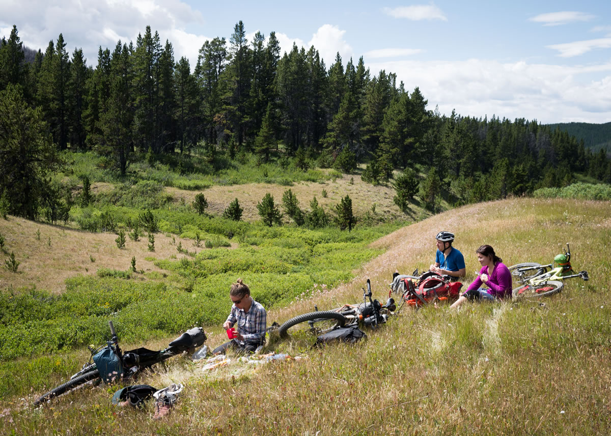
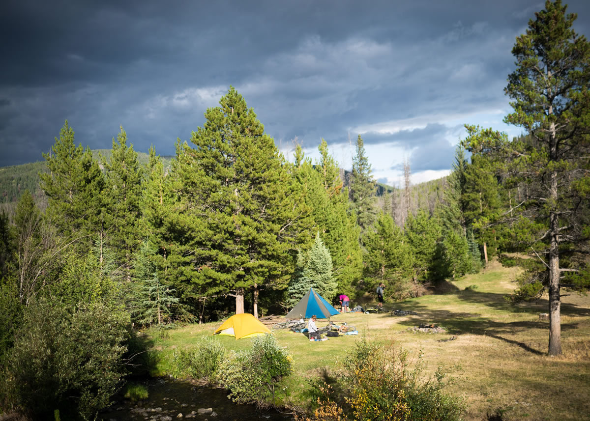
Camping
Food/H2O
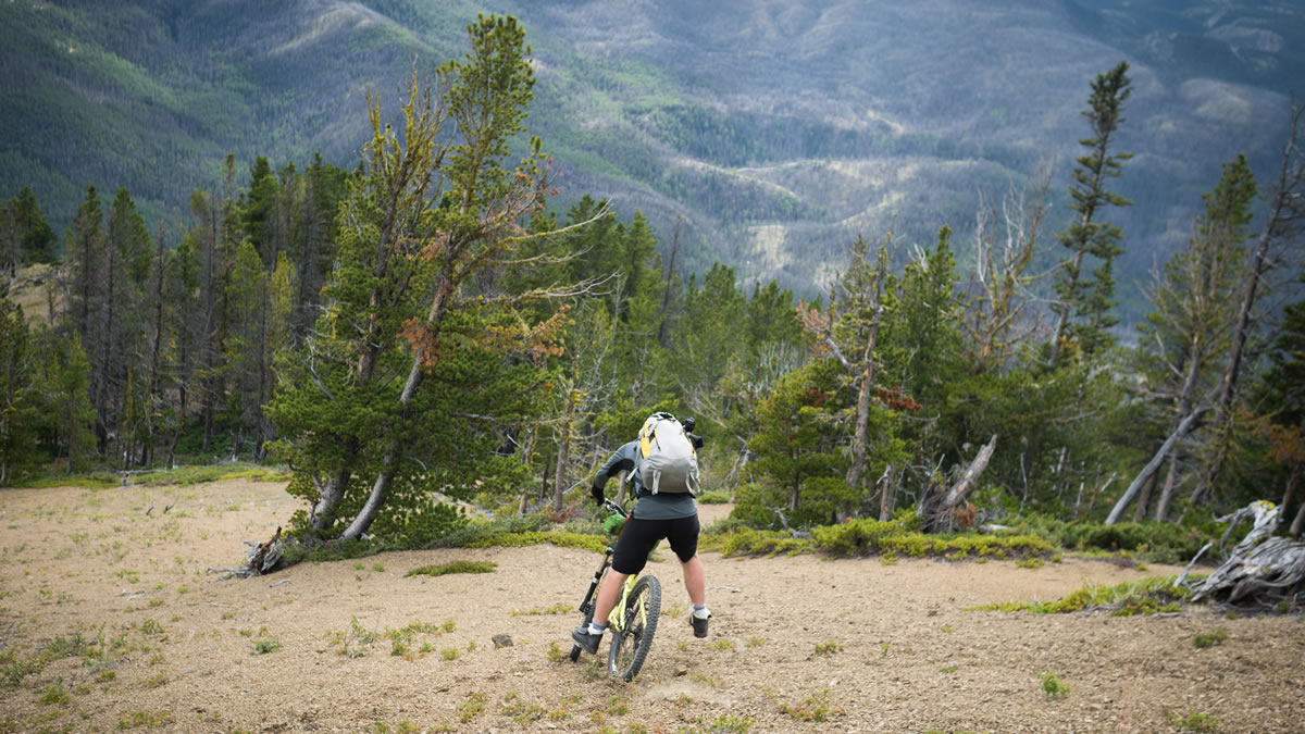
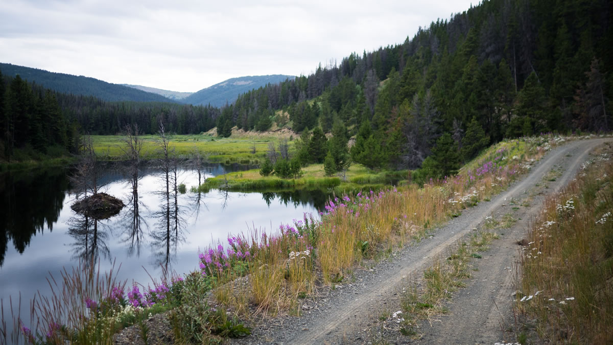
- Dancing with treeline on China Head FSR (now officially closed to motorized traffic). If there is a paradise awaiting bikepackers, the happy hunting grounds look like this.
- Big DH runs off of Nine Mile Ridge, and back down to Mud Creek.
- Nine miles of alpine ridge. Half of this has no trail, and is real free riding, the other half is on a beautiful, and spicy singletrack.
- Top notch riding throughtout, punctuated by the grueling pushwhack up onto Nine Mile Ridge.
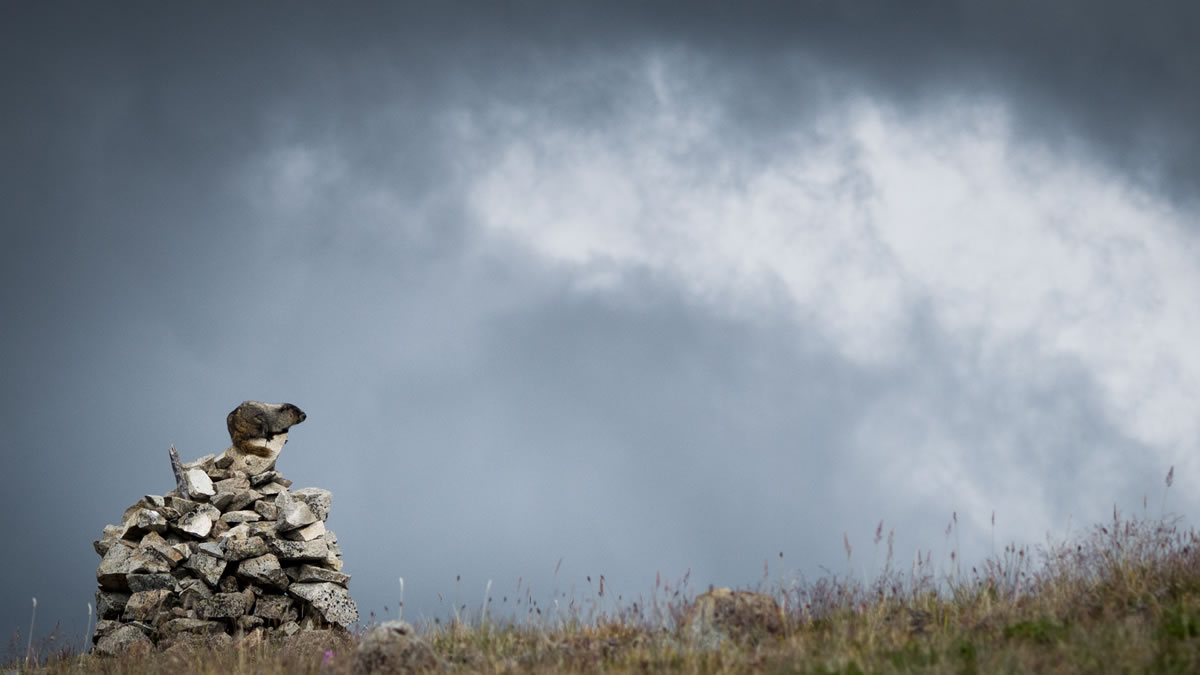
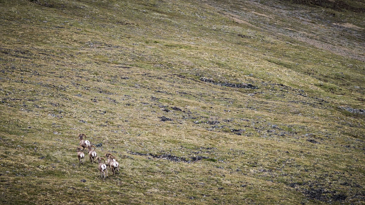
- Seeing marmots, bighorn sheep, or grizzly bears in a wild setting.
- Rideable from July to October, most years. Possibly mid-June, in low snow years.
- This route is remote, even by British Columbia standards. There are no bail options, unless 70km of empty dirt road counts as a bail option. Be ready for any type of mechanical issue.
- Pack light, as the push up from South Frenchbar Creek to that summit of Nine Mile Ridge is grueling.
- There is no year round water source on top of Nine Mile Ridge. Find water 400m west from the col, below the final push up onto the ridge (see track), and again in a seep where the switchbacks end at Yalakom FSR. Detour off the ridge crest into one of the bowls until you find running water, if you plan to camp on this leg of the trail.
- The loop over the China Head and Nine Mile Ridge can also be approached from Clinton and the Big Bar Ferry, to the east, or up the Yalakom FSR, from the south. The approach option from Relay Creek, included in this track, offers excellent riding in Lone Valley, and is recommended.
- The western part of this route falls on the South Chilcotin Mountains map by Trail Ventures BC (order online, or buy at MEC). Refer to the Cariboo Chilcotins volume of the Backroads Mapbook ($21 at MEC), if you’d like to see the whole route on paper or carry photo copies of the relevant pages.
- There is no complete, or completely accurate, Garmin basemap for this area. The best is by Backroads Mapbook (but it has a tendancy to show roads that don’t exist). Open Street Map shows less information, but is free and accurate. Both options, as well as the Ibicus (free) basemap, show topographic information.
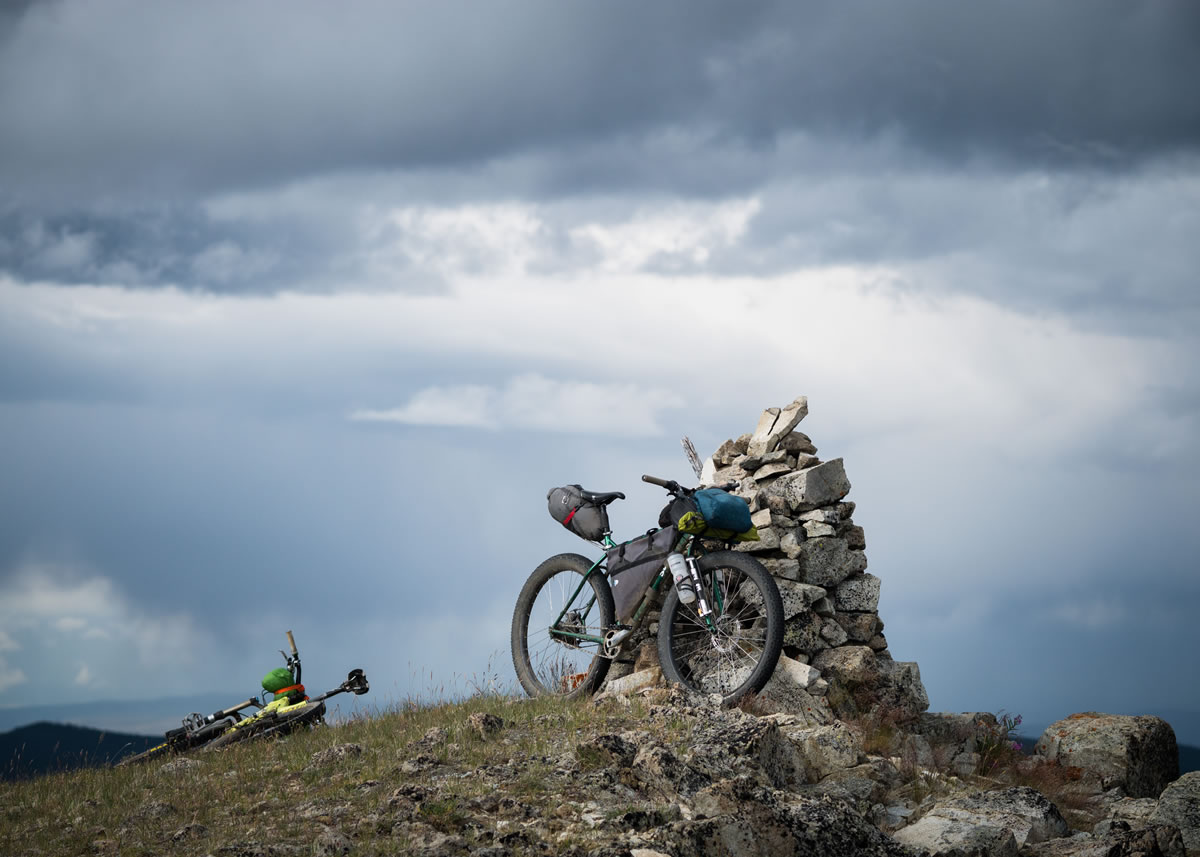
- Wild camping is available anywhere on the route; but please #leavenotrace.
- The route starts at a Forest Service Rec Campsite – Tyaughton Creek Rec Site. Use this, or the Friburg Rec Site on Tyaughton Lake, or Tyax Resort/Campground on Tyaughton Lake, as a staging point, if you arrive a day before you start riding.
- There are free, disused forestry rec sites, with tables and pit toilets, at Swartz Lake (night one), and South Frenchbar Cr. (night two).
- There is also an unlocked hunting cabin in a bowl on the south side of Nine Mile Ridge (fourth bowl up from the Yalakom descent). Most cabins in the area see more use by packrats than humans though, so it is usually prferable to sleep outside. Still, if you see a cabin, you can count on a good water source nearby.
- There is no resupply on route, bring everything you need.
- Post ride victory beers and meals can be had at Tyax Resort on Tyaughton Lake, and at the Mineshaft Pub in Bralorne (recommended).


Terms of Use: As with each bikepacking route guide published on BIKEPACKING.com, should you choose to cycle this route, do so at your own risk. Prior to setting out check current local weather, conditions, and land/road closures. While riding, obey all public and private land use restrictions and rules, carry proper safety and navigational equipment, and of course, follow the #leavenotrace guidelines. The information found herein is simply a planning resource to be used as a point of inspiration in conjunction with your own due-diligence. In spite of the fact that this route, associated GPS track (GPX and maps), and all route guidelines were prepared under diligent research by the specified contributor and/or contributors, the accuracy of such and judgement of the author is not guaranteed. BIKEPACKING.com LLC, its partners, associates, and contributors are in no way liable for personal injury, damage to personal property, or any other such situation that might happen to individual riders cycling or following this route.
Please keep the conversation civil, constructive, and inclusive, or your comment will be removed.