


Bikepacking South Africa via The Dragon’s Spine
Distance
2,500 Mi.
(4,023 KM)Days
58
% Unpaved
85%
% Singletrack
10%
% Rideable (time)
97%
Total Ascent
155,388'
(47,362 M)High Point
9,400'
(2,865 M)Difficulty (1-10)
6?
- 4Climbing Scale Fair62 FT/MI (12 M/KM)
- -Technical Difficulty
- -Physical Demand
- -Resupply & Logistics
Contributed By
Nicholas Carman
Gypsy by Trade
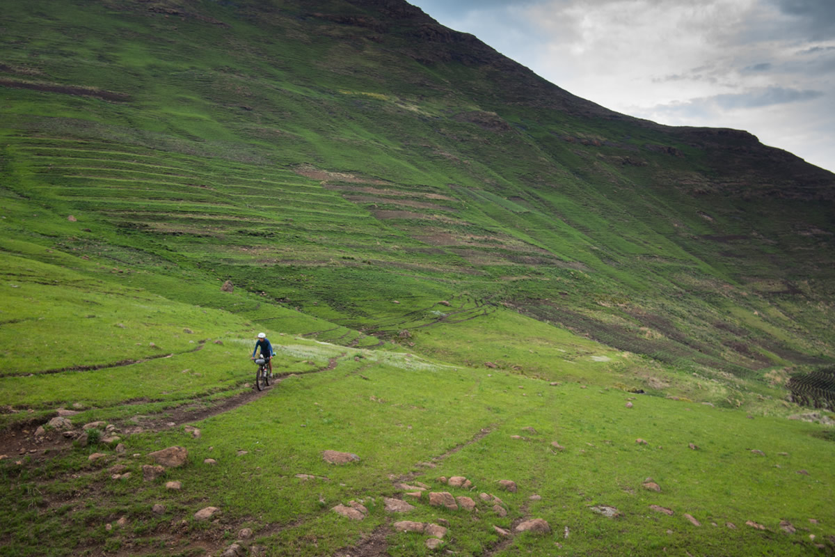
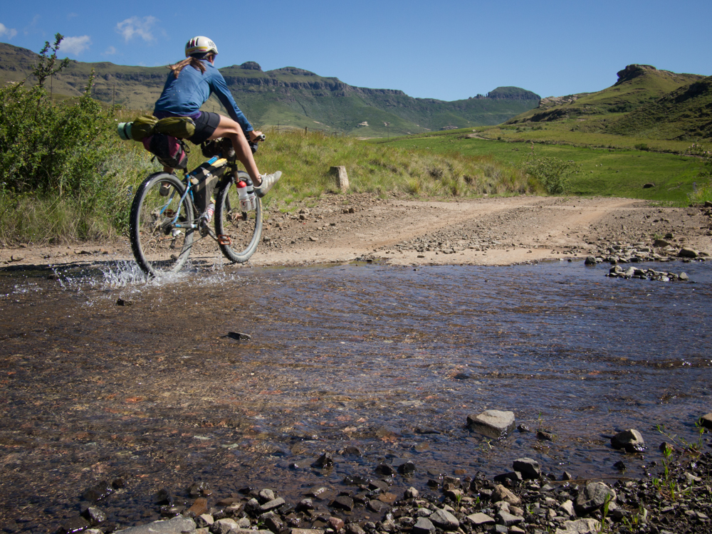
Much of the route passes incredible scenery from the wide berth of well-managed dirt roads, with frequent access to food and water. But in Lesotho you will work for your dinner on active walking paths, animal trails, abandoned 4×4 roads, and famously steep grades. Elsewhere across South Africa you follow railroad service roads, everyday footpaths, and one memorable donkey trail out of The Hell. Discover things about South Africa most locals don’t even know.
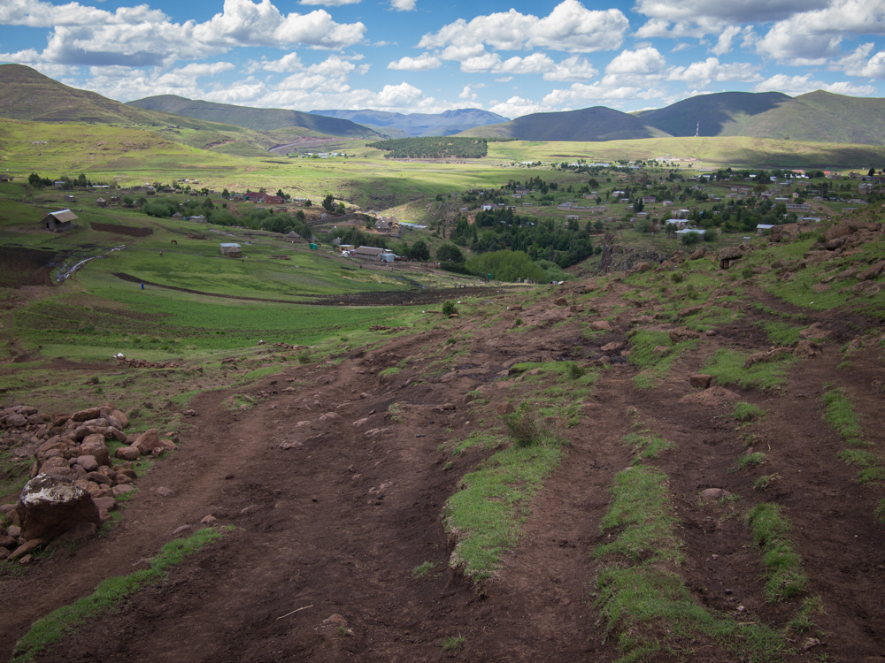
The Dragon’s Spine route crosses South Africa and Lesotho, originating from a 2013 publication by David Bristow and Steve Thomas called Riding the Dragon’s Spine. The 2500mi route is primarily unpaved and connects Cape Town and the Western Cape with the border of Zimbabwe, near Messina in the Limpopo Province. The book schedules the route into 58 segments, each beginning and ending where water and shelter are available, although any schedule may be kept as this is a self-guided tour exclusively on public thoroughfares, a welcomed feature in a country where private property and locked gates limit access to a lot of land.
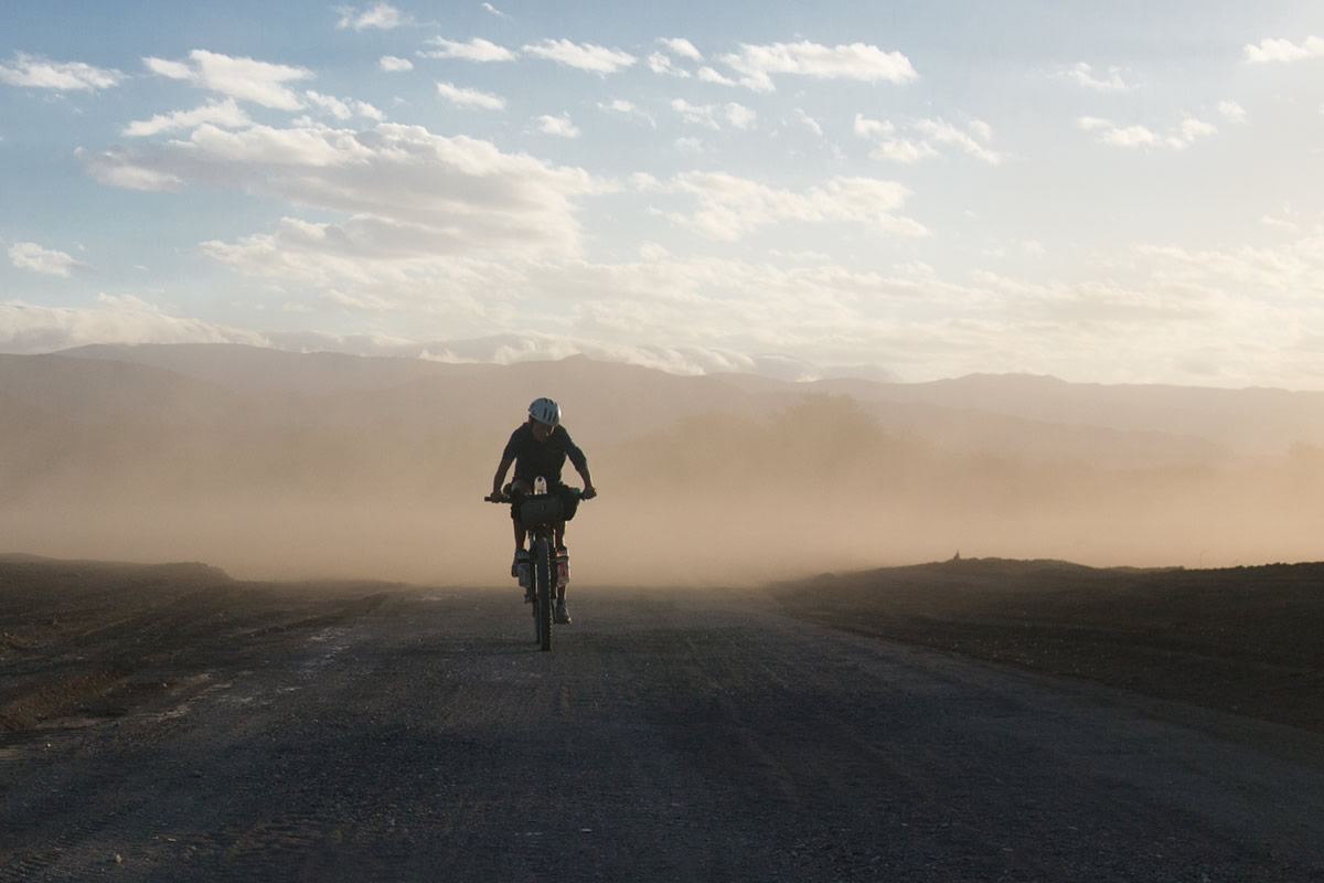
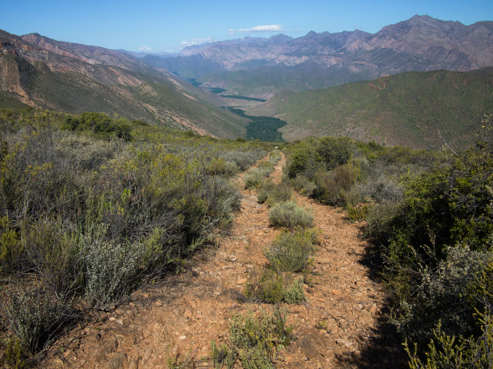
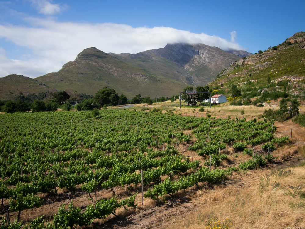
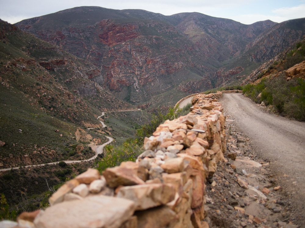
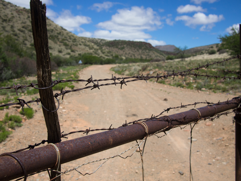
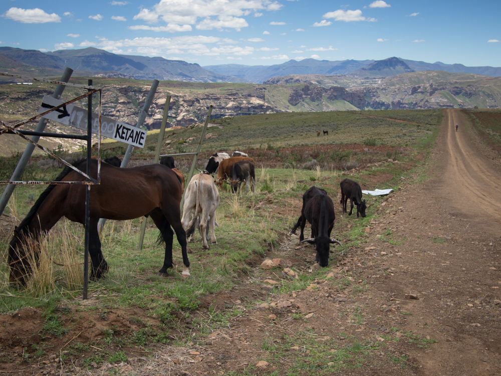
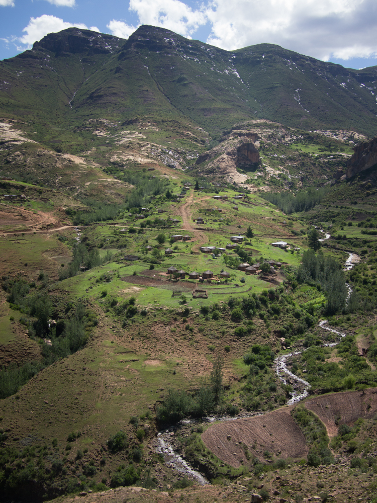
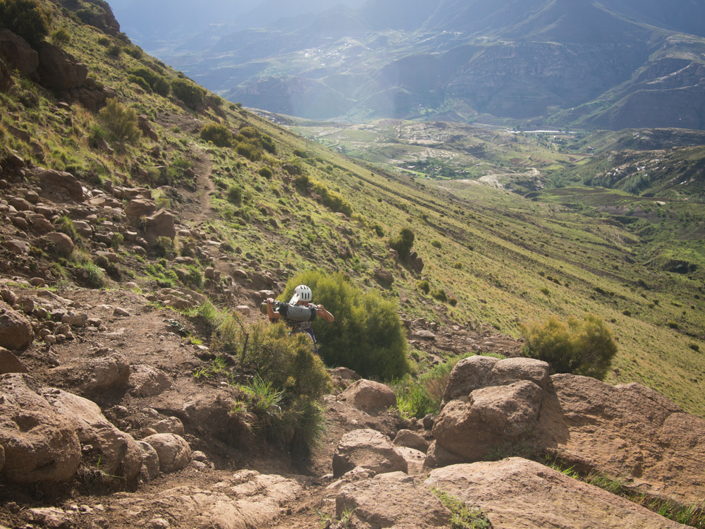
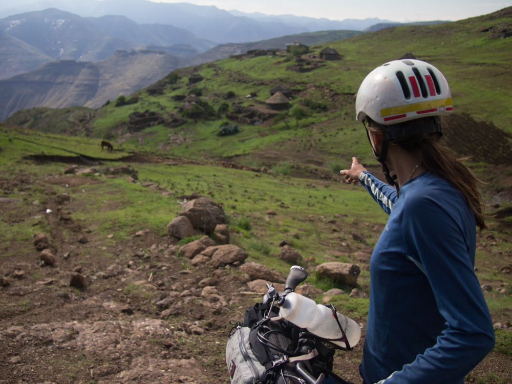
Most of the route is characterized by high quality dirt roads, with several notable exceptions. The route across Lesotho is very different than in South Africa, owing to the way land is used and managed in that country– there are no fences, and there are people and informal trails everywhere. The route follows many rough dirt roads and abandoned doubletracks, as well as some sheep and donkey trails and a few paved stretches to make necessary connections. In the poor northern province of Limpopo, South Africa near the borders of Zimbabwe and Mozambique, you will be routed onto ill-maintained dirt roads and natural walking trails amidst poorer black communities. In the KwaZulu-Natal province, railroad service roads play into the route. Across the karoo, an arid grass and scrubland where large tracts of land are fenced for grazing, graded dirt roads extend for miles. In the Western Cape, several adventurous sections are included within the Cape Fold mountains such as a steep hike up (or down) The Ladder, an historic donkey trail into a valley informally called The Hell, settled long ago by hardy isolationist Afrikaners. Yet, most of the route is passed on pleasant dirt roads, through small communities, with uncomplicated logistics regarding food, water, and shelter. As intended, this route is likely to become South Africa’s “Great Divide”, much like the famed dirt route across America.
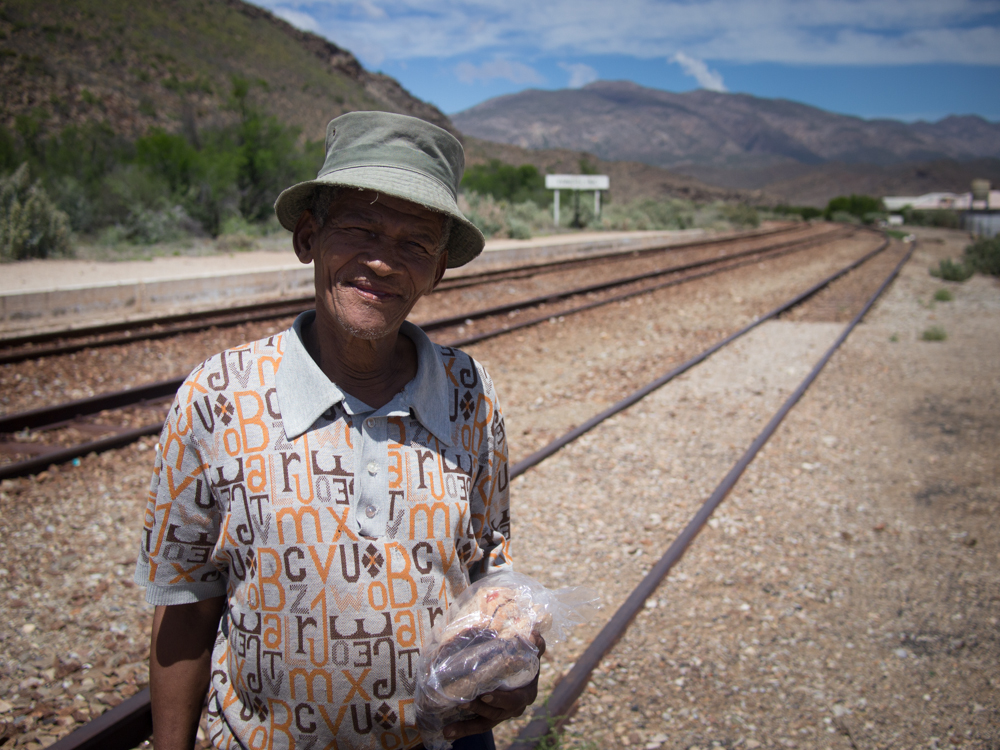
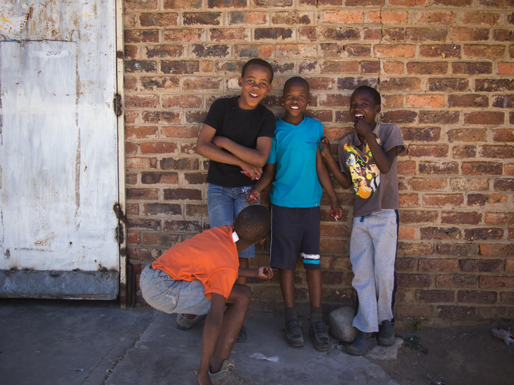
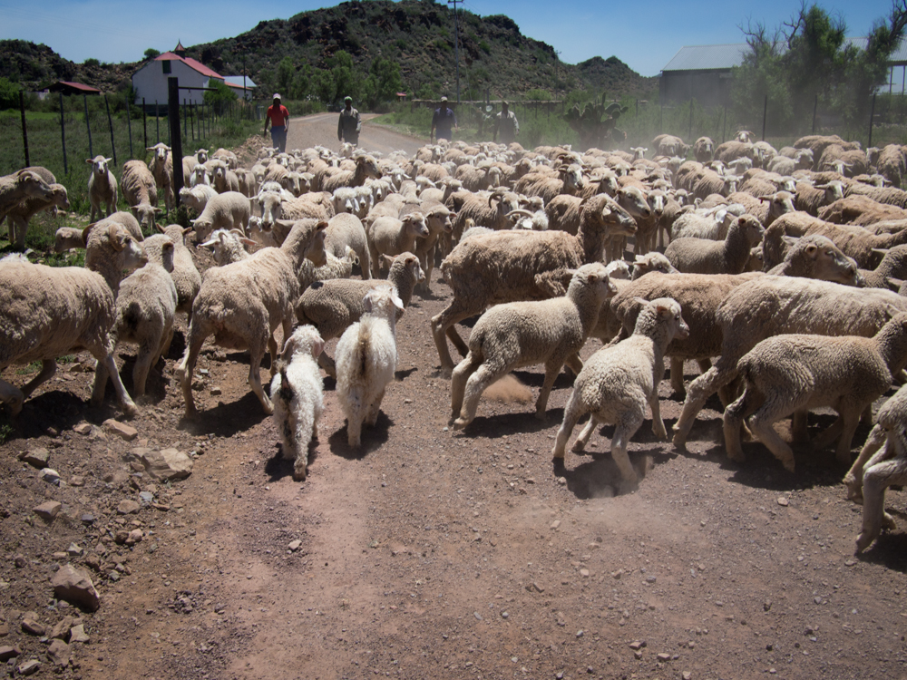
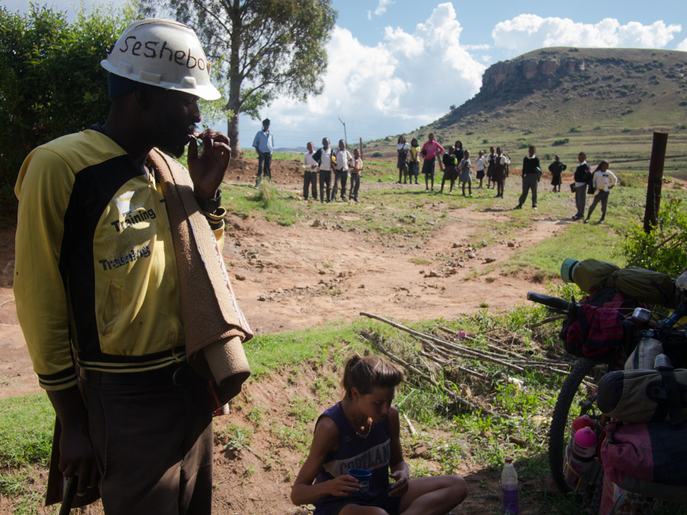
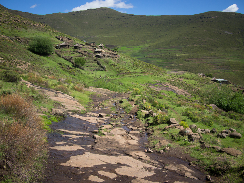
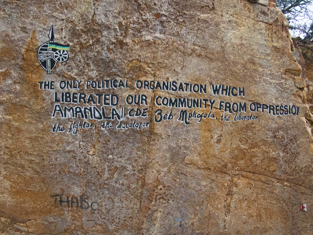
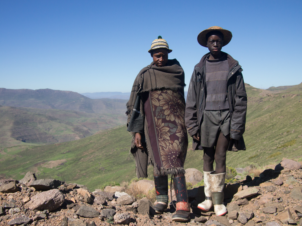
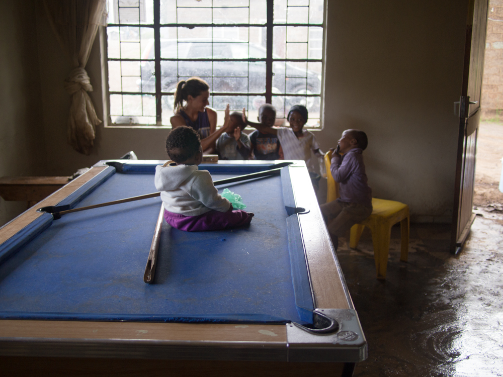
South Africa is a dynamic country, much alike and unlike the USA. The history of the five last centuries mirrors American history in many ways, yet until twenty years ago a small white minority wielded control over the black majority through the official institution of Apartheid. You will see living history in South Africa as many blacks still live in poor townships, like shantytowns or ghettoes. Whites generally live like middle class Americans or Europeans. People all across South Africa are curious and friendly, just be prepared to learn a lot. Lesotho is much different as the country is almost only populated by the Basotho people who continue to live traditional lives in the mountains, growing maize and herding sheep, although the nearby capital of Maseru is a bustling African city and the country’s infrastructure is rapidly growing. In Lesotho, people are absolutely everywhere. Don’t be surprised if you don’t get much privacy in your time there as the people are very curious.


The gpx featured above has had points reduced to illustrate the route in its entirety; if you are serious about riding part or all of the Dragon's Spine, it's highly advised to find a copy of the now out of print Riding the Dragon's Spine book. Unfortunately, the complete GPX files from the Dragon Trax website are no longer available. So you will be re-scouting this route. If you're interested in helping out and choose to ride this route, please get in touch via the route alerts form below.
Submit Route Alert
As the leading creator and publisher of bikepacking routes, BIKEPACKING.com endeavors to maintain, improve, and advocate for our growing network of bikepacking routes all over the world. As such, our editorial team, route creators, and Route Stewards serve as mediators for route improvements and opportunities for connectivity, conservation, and community growth around these routes. To facilitate these efforts, we rely on our Bikepacking Collective and the greater bikepacking community to call attention to critical issues and opportunities that are discovered while riding these routes. If you have a vital issue or opportunity regarding this route that pertains to one of the subjects below, please let us know:
Highlights
Must Know
Camping
Food/H2O
Trail Notes
Resources
- Get lost in the rhythm of long-distance dirt touring on high quality dirt roads through changing scenery. Be warned, there are a few sections which break from the pattern and require strength and tenacity, although advanced technical skills on the bike are not absolutely mandatory.
- Discover a modern, dynamic South Africa. Encounter karoo hospitality, the enthusiasm of the Basotho, a growing mountain biking culture. Speak in confidence with people who struggle to overcome generations of oppression.
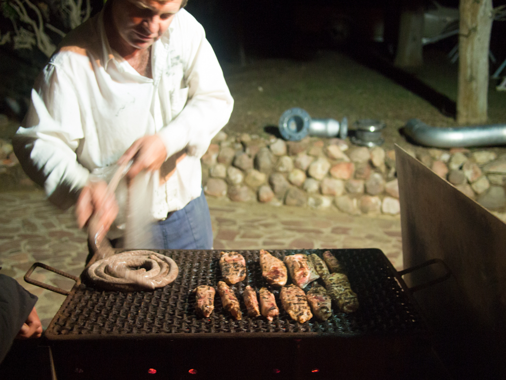
- Eat a lot of wild game, enjoy delicious South African wine, make pap (local cornmeal) a staple of your diet.
- The route is open most of the year, although summers can be extremely hot, especially in Limpopo, and the sun is intense at these latitudes. In winter, snow may fall on sections of the route in Lesotho and the surrounding highlands.
- Most of the route is straightforward, even easy. Most of Lesotho is challenging, and you’ll wonder if you are following the same route when pushing your bike along sheep trails on steep hillsides, or when hiking 2500ft up from the Senqunyane River.
- Detours around the most challenging sections of Lesotho are possible, on a variety of dirt and paved roads. Most paved roads have little traffic, and you will still climb a lot, but can avoid pushing your bike if you wish.
- Download GPS tracks from the Dragon Trax website. Download Tracks4Africa maps and those from Openmtbmap.org for the most powerful combination. Both provide thin coverage of Lesotho, and each have shortcomings in South Africa.
- Over such a long distance in open country, you are likely to encounter some wind. We rode from Cape Town to the east and enjoyed weeks of favorable winds.
- There are some sandy roads, washboard, rocky tracks, animals trails, etc. A 2.2” tire or bigger is recommended, a suspension fork is nice. A full-suspension bike isn’t necessary, except for comfort and security. You can do it on a Long Haul Trucker or similar; by now, you get the idea of what to expect.
- The South African Rand has slowly devalued over the last few years making for favorable exchange rates. The Rand is universally accepted in Lesotho, where the local Maluti currency is price fixed against the rand.
- While South Africans claim crime to be a major issue, you will be traveling mostly through rural areas. We felt safe for the duration of our three months in the country, although best to keep an eye on your bike when in town.
- English is spoken in much of South Africa, although not always as a first language. The country claims eleven official languages, including 9 traditional languages and Afrikaans, a Dutch-African language spoken by most white farmers and their families, as well as many blacks and coloreds. These racial descriptors are different than in America, and are in common use. In Lesotho, English is less common in the countryside.
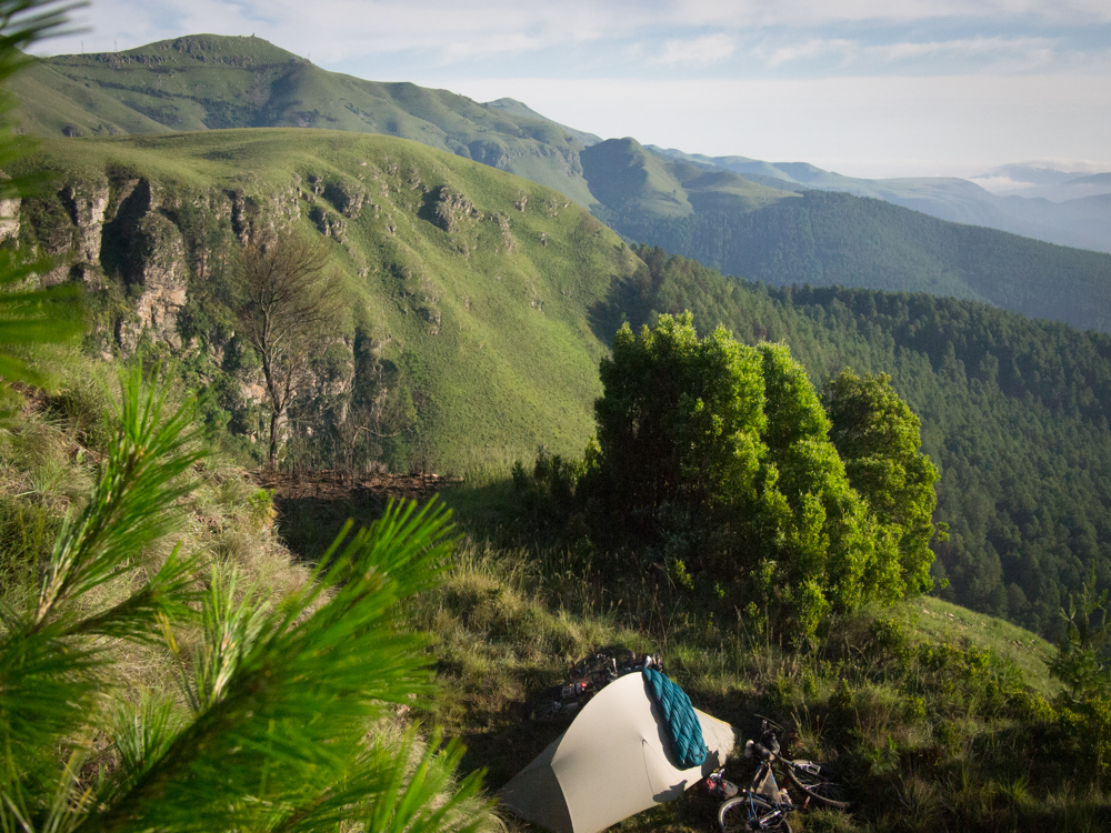
- Camping is unofficially possible in many places. Ask to camp inside someone’s property to ensure your safety, even if only as a precaution to calm other’s concerns. Often, your hosts will go out of their way to take care of you.
- It is acceptable to knock on the door of a rural farmhouse to ask to camp nearby.
- Hotels are available in many small towns. Backpackers, as hostels are called, are popular and affordable. There are free guidebooks and websites that list all the backpackers in the country.
- Food is available every day or more. There are a few longer sections, but not by much.
- You’ll need to be able to carry up to 4L of water or more for some sections, depending upon your rate of travel and the season.
A bike with 2.0″ tires is recommended and as always, packing light is advised. A rigid mountain bike designed for dirt roads such as a Salsa Fargo or Surly Ogre will be suitable for most of the route, although a suspension fork is a nice addition to extend the capacity of the bike on rough roads and through the few technical sections, and for comfort. A proper mountain bike may be more than is required on some of the longer stretches of graded dirt road, but will make the tough days more enjoyable.
Almost any mountain bike will do. Tubeless tires are highly recommended as thorny acacia trees are common throughout the country. In warmer months, plan to be able to carry up to 4 liters of water per person or more, while an insulating layer such as a down jacket may be advisable nearer to winter for cold nights and crisp mornings. In any part of South Africa if you ask for water or a place to camp, you are likely to get a lot more– South Africans are especially kind and giving to travelers.
Much of the route is technically passable on a rigid 26″ wheel mountain bike or a stout touring bike such as the Surly LHT or Thorn Nomad, which I mention to assist cyclists who are planning a longer trip through Africa and have designed their bicycles with other priorities in mind. A few sections may require more walking than on a modern MTB. Alternatively, detours can be made to bypass steep hike-a-bike in Lesotho and out of The Hell (Gamkaskloof).
The Riding the Dragon’s Spine book is the definitive guide for this route, although all GPS tracks are available from the Dragon Trax website, a growing depository for MTB routes in South Africa. A GPS is required. It is recommended to donate money or time to a worthy social cause in trade for the free GPS tracks.
Note: We did not use the guidebook, but had the chance to browse it briefly. However, I would have gladly used it if I’d had the chance to procure it beforehand. It is technically possible to follow the route simply by GPS. We technically rode about 80% of the route as we diverted to Swaziland, the Wolksberg Wilderness, and only discovered the route about a week after leaving Cape Town although we had covered much of the same tracks up to that point. Most visitors from North America and Europe can enter the country without a visa for 90 days, free of charge. You may be hassled about having a return ticket by the airline, although it doesn’t seem to be an issue on the ground.


Terms of Use: As with each bikepacking route guide published on BIKEPACKING.com, should you choose to cycle this route, do so at your own risk. Prior to setting out check current local weather, conditions, and land/road closures. While riding, obey all public and private land use restrictions and rules, carry proper safety and navigational equipment, and of course, follow the #leavenotrace guidelines. The information found herein is simply a planning resource to be used as a point of inspiration in conjunction with your own due-diligence. In spite of the fact that this route, associated GPS track (GPX and maps), and all route guidelines were prepared under diligent research by the specified contributor and/or contributors, the accuracy of such and judgement of the author is not guaranteed. BIKEPACKING.com LLC, its partners, associates, and contributors are in no way liable for personal injury, damage to personal property, or any other such situation that might happen to individual riders cycling or following this route.
Please keep the conversation civil, constructive, and inclusive, or your comment will be removed.