


Nicoya Peninsula Traverse, Costa Rica
Distance
185 Mi.
(298 KM)Days
5
% Unpaved
80%
% Singletrack
0%
% Rideable (time)
100%
Total Ascent
11,119'
(3,389 M)High Point
667'
(203 M)Difficulty (1-10)
5?
- 4Climbing Scale Fair60 FT/MI (11 M/KM)
- -Technical Difficulty
- -Physical Demand
- -Resupply & Logistics
Contributed By

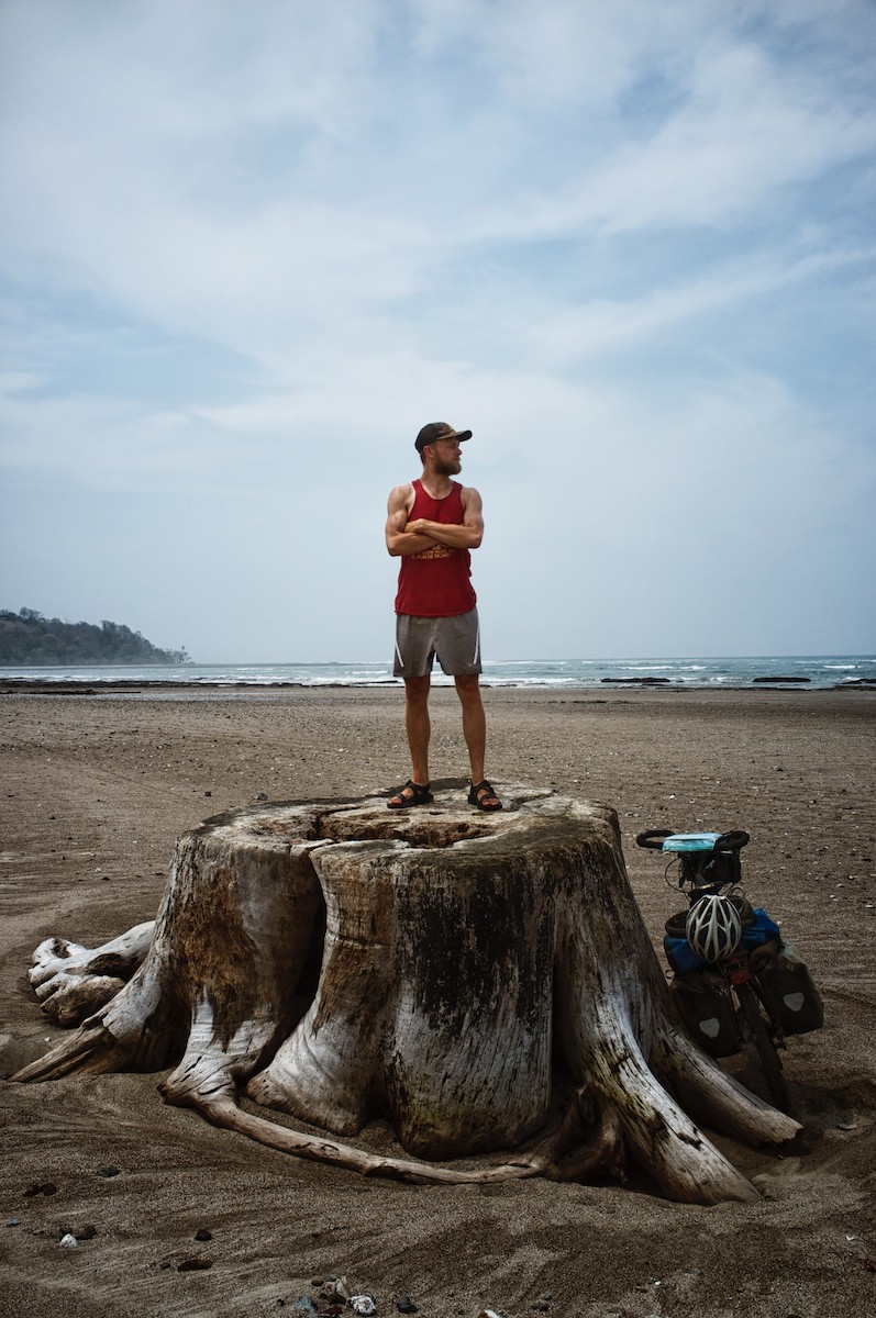
Logan Watts
Pedaling Nowhere
Although there are a few tourist hotspots on the Peninsula de Nicoya, the majority of it is fairly undeveloped. Nicoya’s rugged topography and unpaved dirt and gravel roads make it a great place for an off-road tour. We began our odyssey from Liberia, which conveniently has an international airport for those looking for a quick escape.
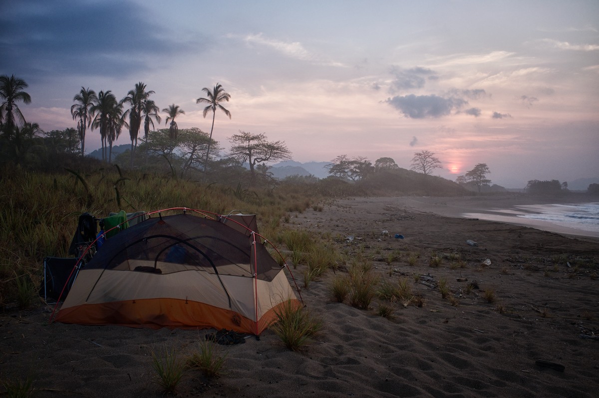
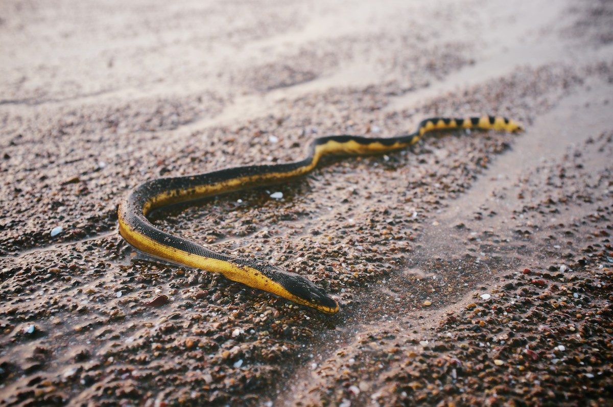
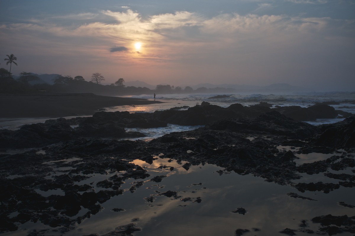
Day one consisted of a mostly paved traverse toward the coast where we made camp on Playa Conchal, a beautiful, protected, and fairly desolate beach. In the early hours the next morning we were woken by sea turtle egg poachers. We tried to find authorities to file a report, but no luck. A few days later at Ostional, we had a close encounter with a sea turtle nesting on the beach only 15 feet away from the tent.
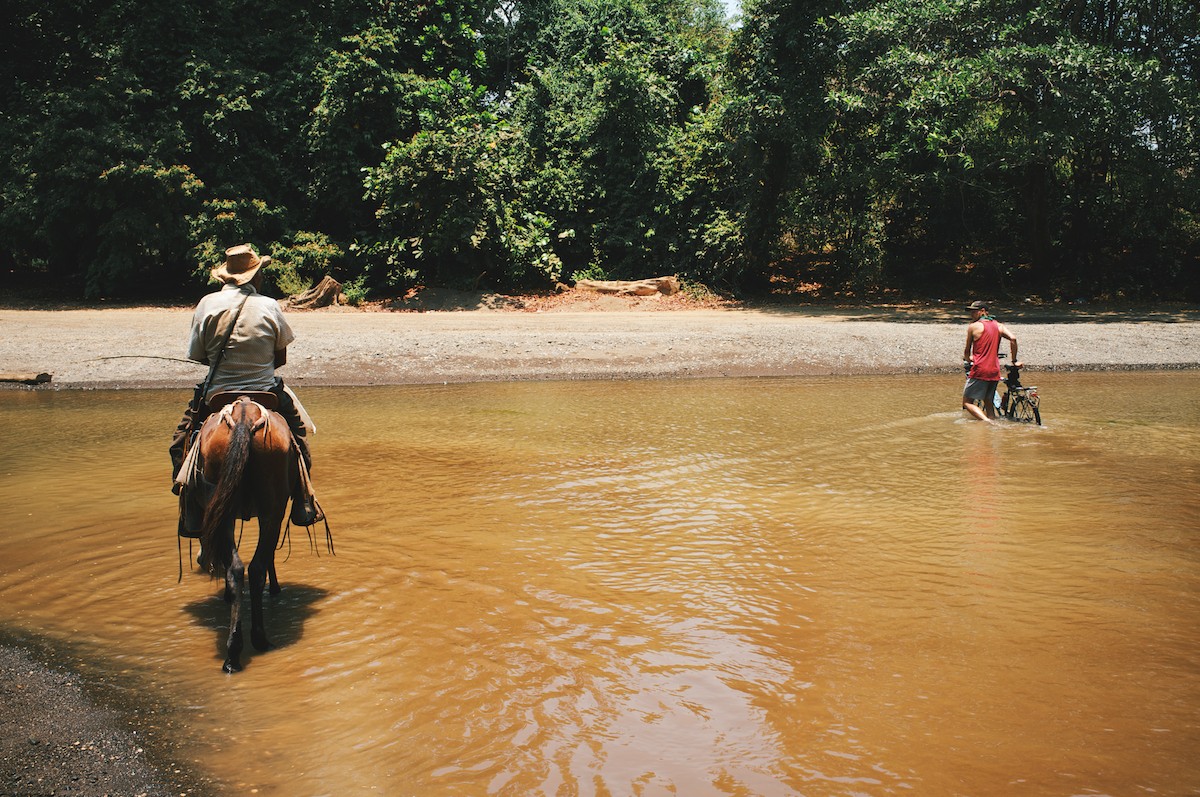
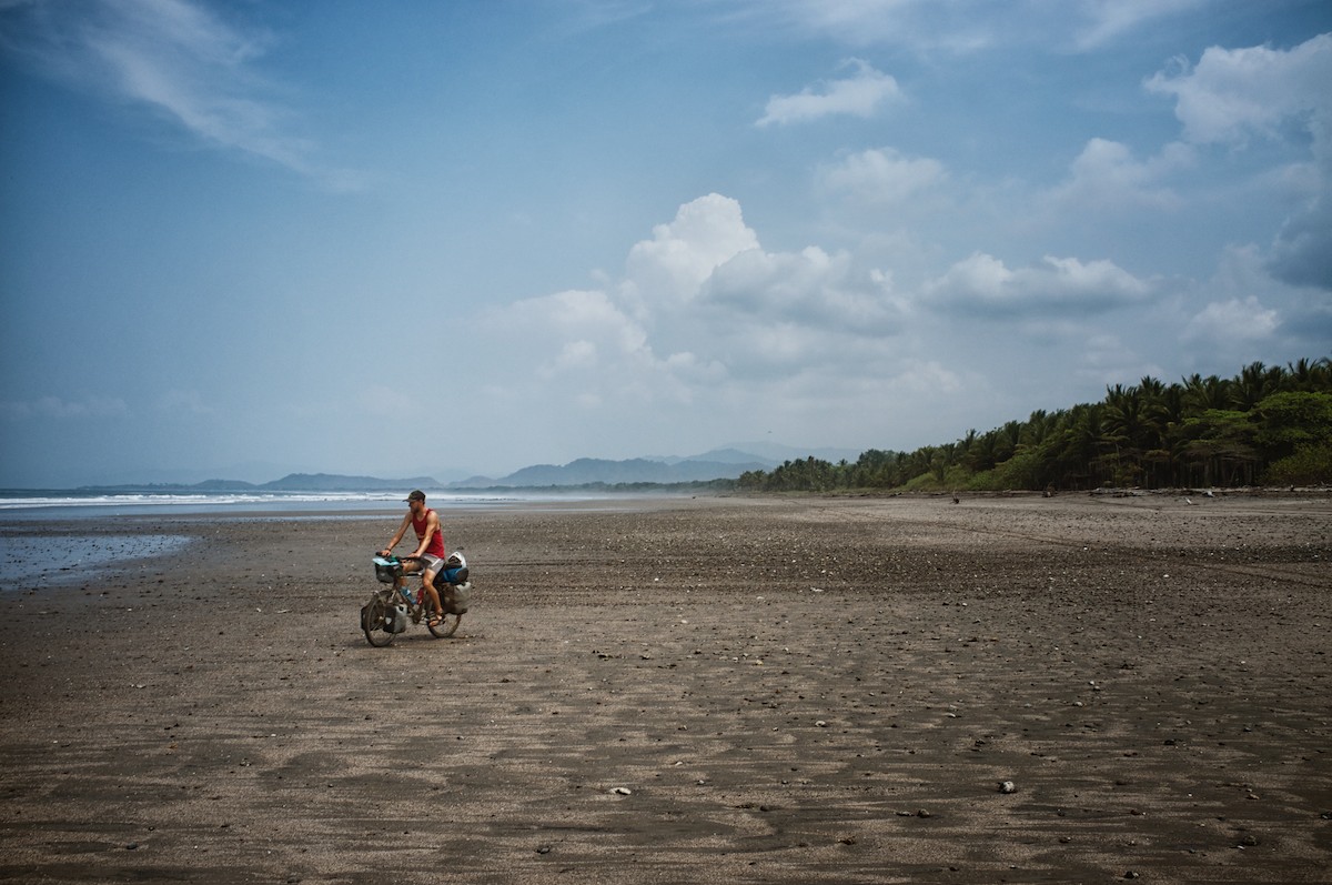
Several days in we hit a stretch of remarkable beach riding that took us through the remote Playa Manzanillo. There is more beach riding on the southwestern point, but once you round the corner, it gets a little touristy.
If you are planning a bikepacking trip in Costa Rica, Nicoya should make your list, just be prepared for some hearty climbs and dusty roads. Read the full ‘Must Know’ section below…


Submit Route Alert
As the leading creator and publisher of bikepacking routes, BIKEPACKING.com endeavors to maintain, improve, and advocate for our growing network of bikepacking routes all over the world. As such, our editorial team, route creators, and Route Stewards serve as mediators for route improvements and opportunities for connectivity, conservation, and community growth around these routes. To facilitate these efforts, we rely on our Bikepacking Collective and the greater bikepacking community to call attention to critical issues and opportunities that are discovered while riding these routes. If you have a vital issue or opportunity regarding this route that pertains to one of the subjects below, please let us know:
Highlights
Must Know
Camping
Food/H2O
- Desolate beach riding.
- Wild camping on remote beaches.
- Spotting sea turtles and camping amongst them.
- Enjoying nice post-ride swims in perfectly clear water.
- Exotic bird species and marine wildlife.
- Tying in a surf vacation with a bikepacking trip!
- December through April is classified as the dry season. There are many water crossings on the route and that during the wet/shoulder season or after heavy rain might require a cautious approach.
- Flying into and out if Liberia is ideal; there is an International airport on route! Otherwise, you could fly to San Jose and take a shuttle to the ferry at El Roble, then do the route in reverse and bus back from Liberia to San Jose.
- However, the roads on Nicoya can get really dusty during the dry season, so May or the fall months might not be so bad.
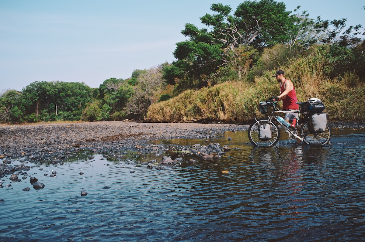
- The coastal section near Manzanillo is tide critical. You will need to approach this section and river crossing before Manzanillo at or near low tide. Check tides here.
- With high waters and flooded rivers, crocodiles may be an issue. We’re not a croc experts but there are signs. Another rider was warned at Rio Bongo. At times of high flow this river is definitely not crossable without a boat.
- Throughout our 6 days on the peninsula, we found several wonderful wild camp sites and two pay campgrounds, one of which was right on the beach at Ostional.
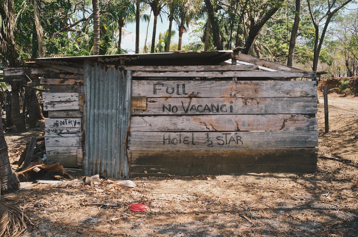
- There are also hostels and cheap hotels in the touristed towns.
- There are small stores with food in most small towns.
- Most people will let you refill water bottles from their spigot, just ask.


Terms of Use: As with each bikepacking route guide published on BIKEPACKING.com, should you choose to cycle this route, do so at your own risk. Prior to setting out check current local weather, conditions, and land/road closures. While riding, obey all public and private land use restrictions and rules, carry proper safety and navigational equipment, and of course, follow the #leavenotrace guidelines. The information found herein is simply a planning resource to be used as a point of inspiration in conjunction with your own due-diligence. In spite of the fact that this route, associated GPS track (GPX and maps), and all route guidelines were prepared under diligent research by the specified contributor and/or contributors, the accuracy of such and judgement of the author is not guaranteed. BIKEPACKING.com LLC, its partners, associates, and contributors are in no way liable for personal injury, damage to personal property, or any other such situation that might happen to individual riders cycling or following this route.
Please keep the conversation civil, constructive, and inclusive, or your comment will be removed.