


Apaches, conquistadores, and a bomb: a historical bikepack in New Mexico.
Distance
319 Mi.
(513 KM)Days
4-5
% Unpaved
70%
% Singletrack
0%
% Rideable (time)
100%
Total Ascent
12,846'
(3,915 M)High Point
7,400'
(2,256 M)Difficulty (1-10)
7?
- 3Climbing Scale Fair40 FT/MI (8 M/KM)
- -Technical Difficulty
- -Physical Demand
- -Resupply & Logistics
Contributed By

Cass Gilbert
Contributing Editor
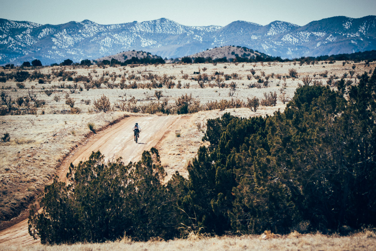
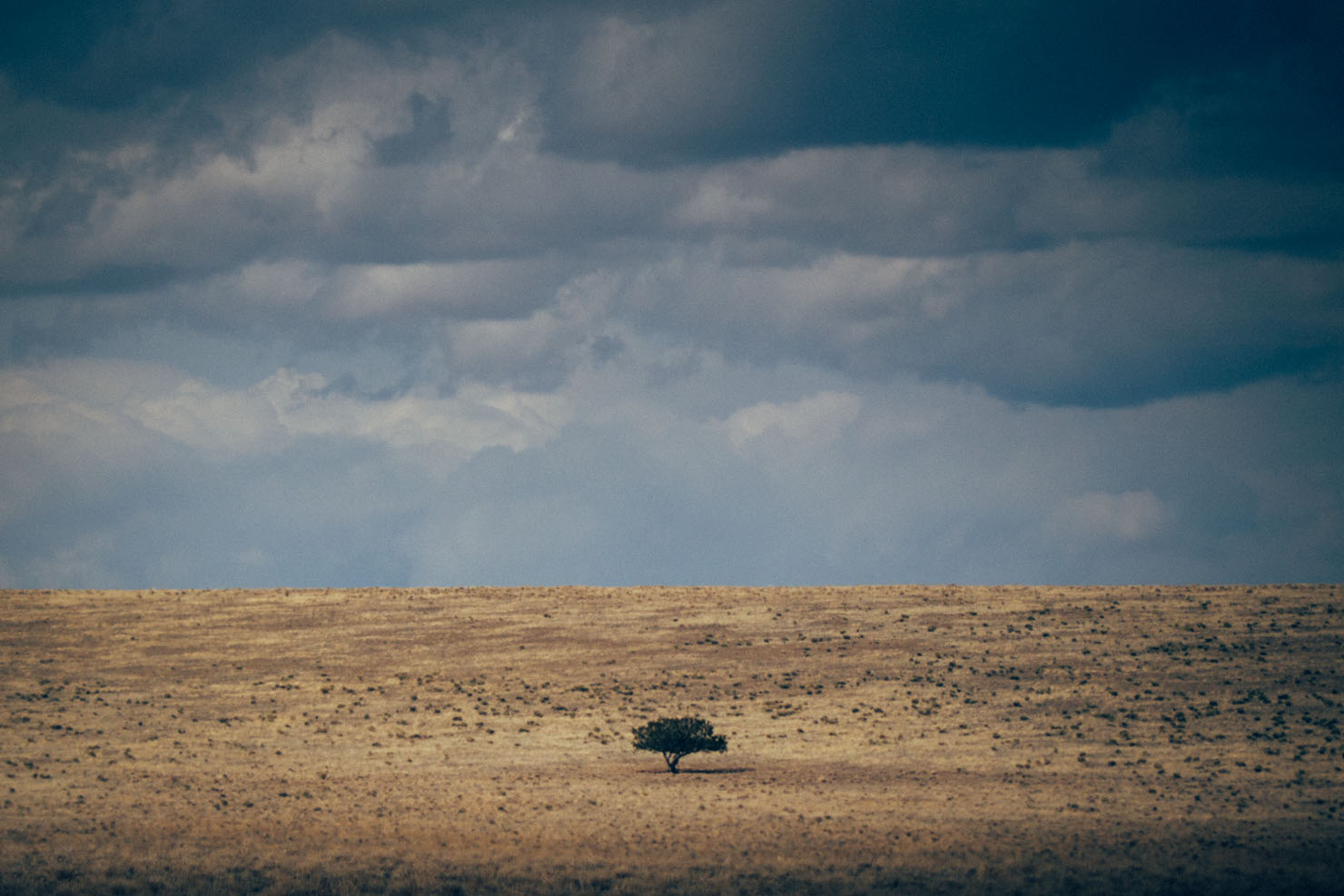
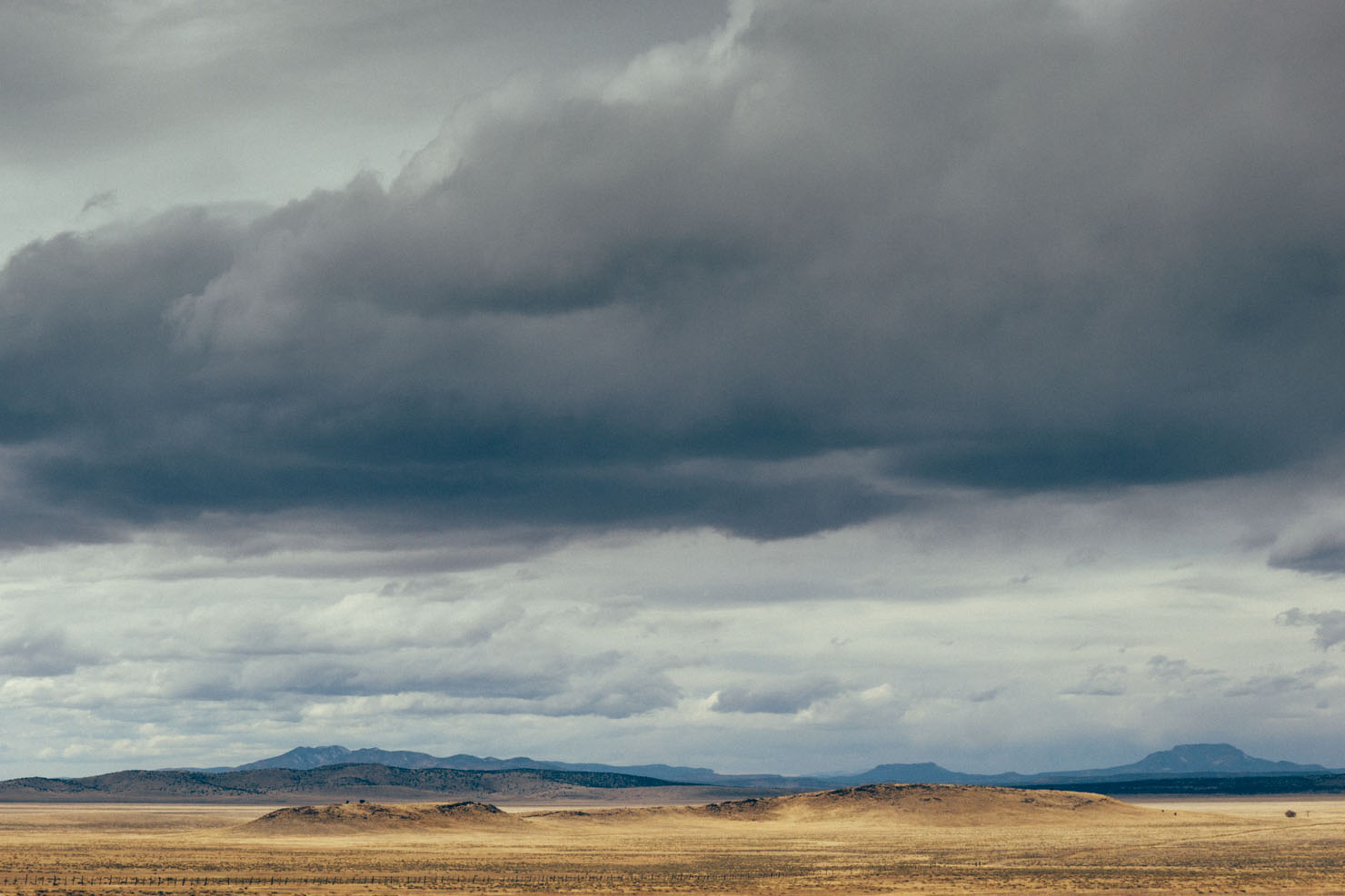
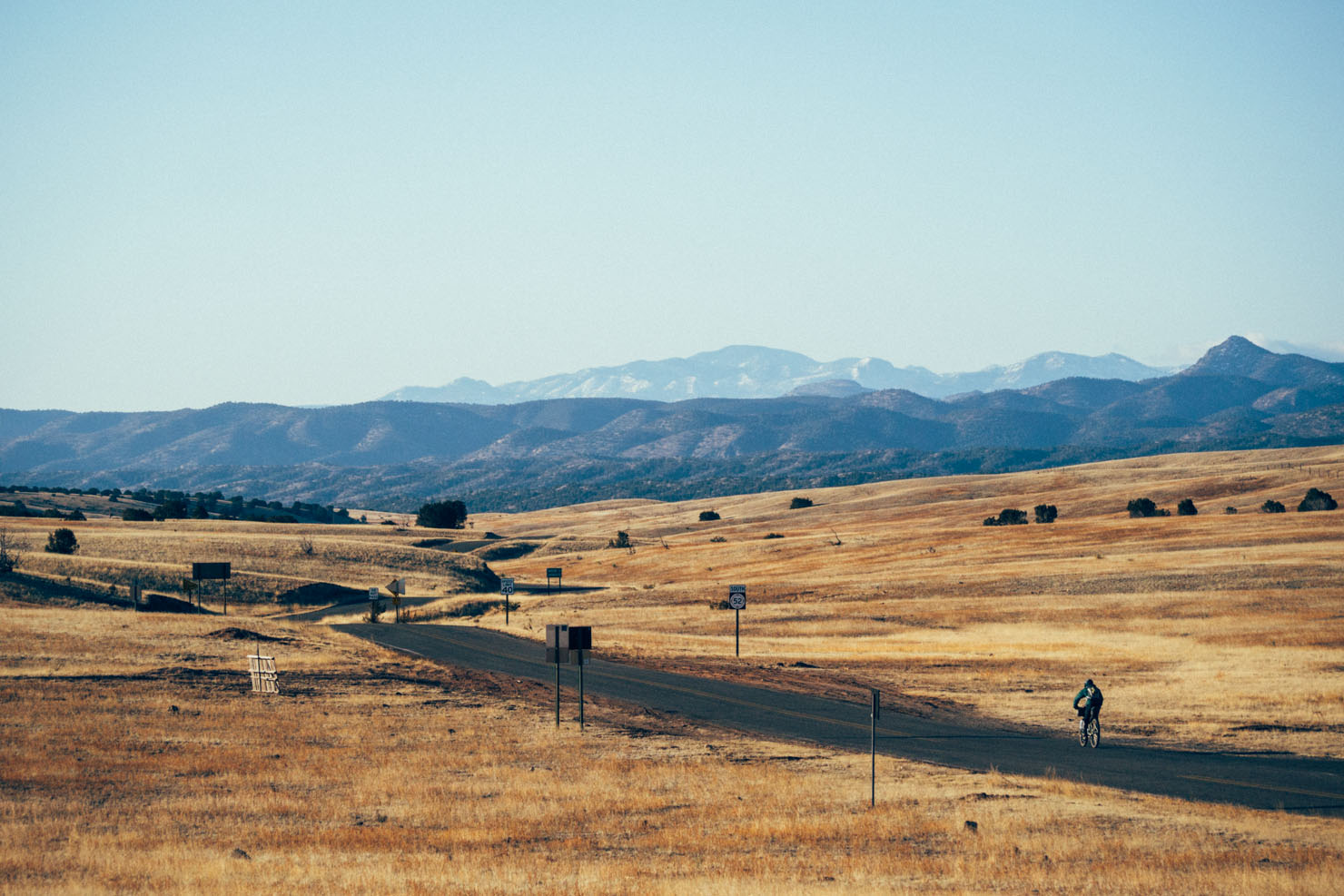
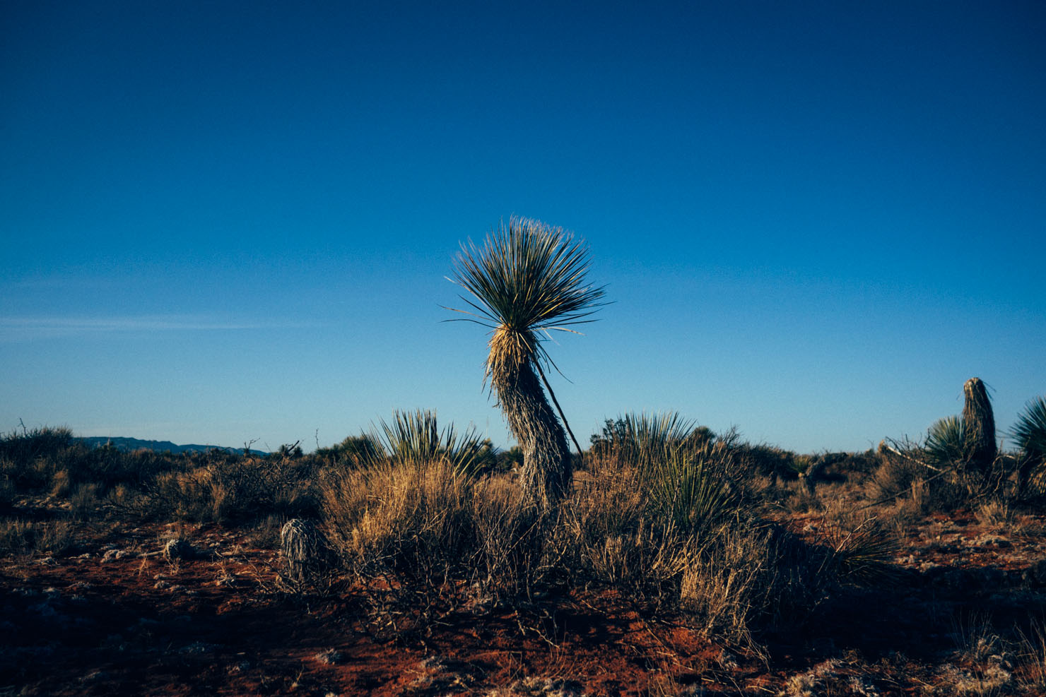
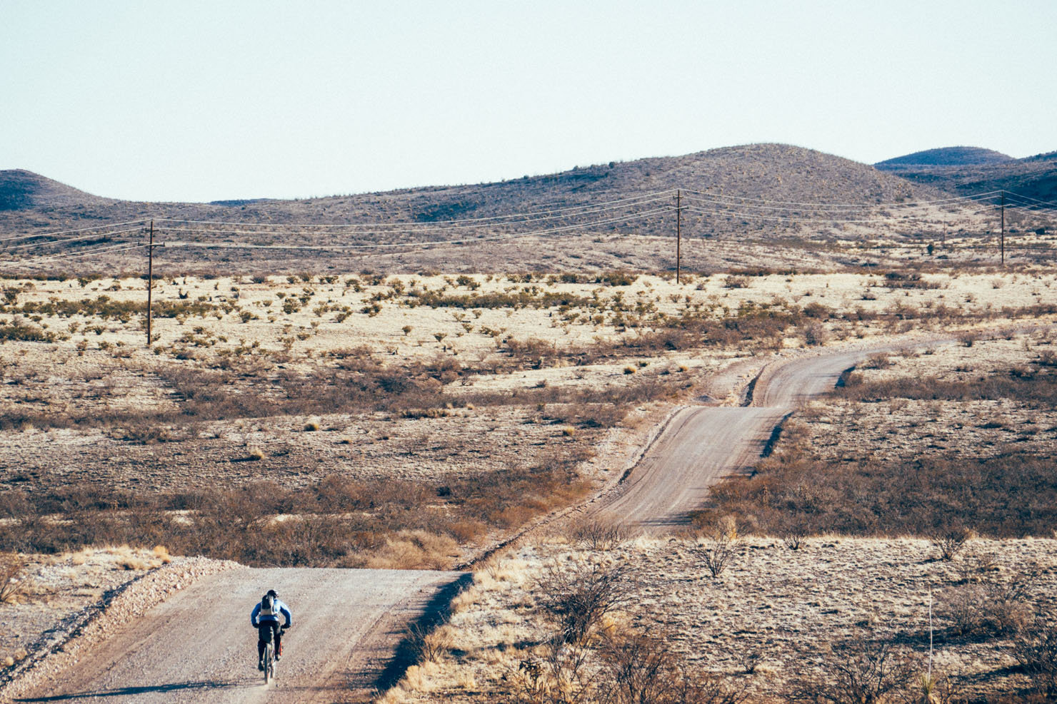
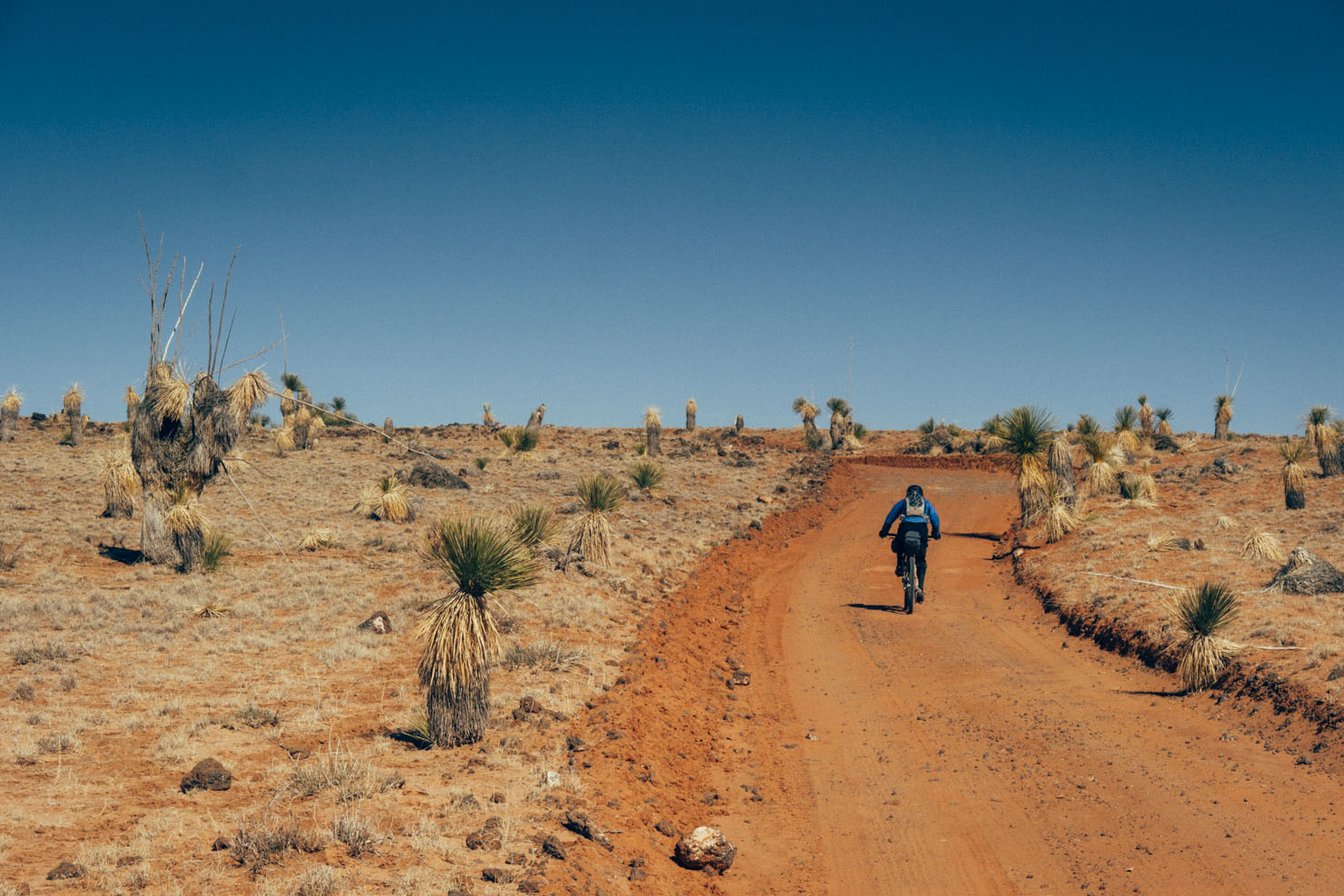
It’s easy to become hooked on dirt road touring in New Mexico. Perhaps it’s the all-embracing skies in the Land of Enchantment. The overwhelming sense of space. The shapes, colours and hues of its junipers, piñon and cacti, and the way they speckle its plateaux and mesas.
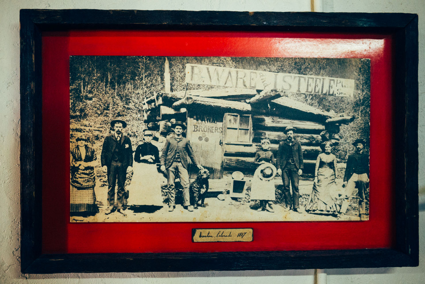
But aside from experiencing a slice of beautiful, rugged, desert terrain typical to New Mexico, this four day bikepacking loop is also underpinned by a unique blend of colonial, Native American, South West frontier and world history.
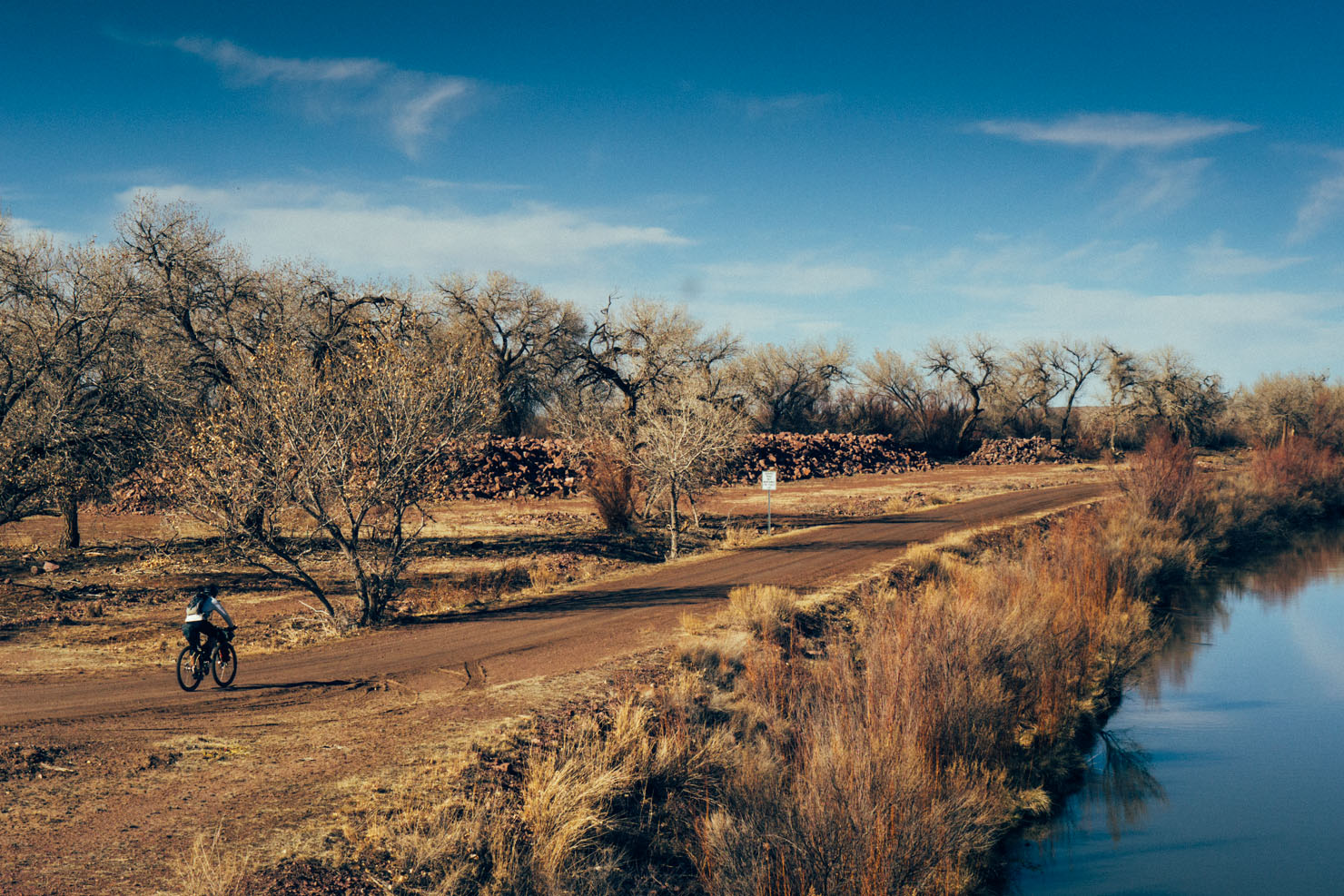
As such, it starts by circling south-east around the Apache stomping-ground of Pico Ladrón. The peak itself is part of small range known as the Sierra Ladrones – the Mountain of Thieves – named after the Apache raiding parties, and later Anglo and Hispanic cattle rustlers, who hid amongst its folds.
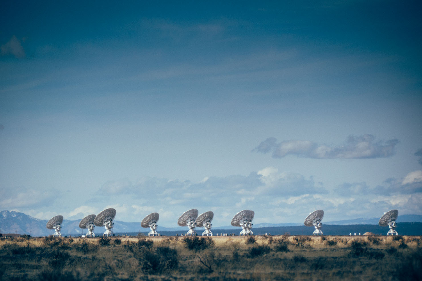
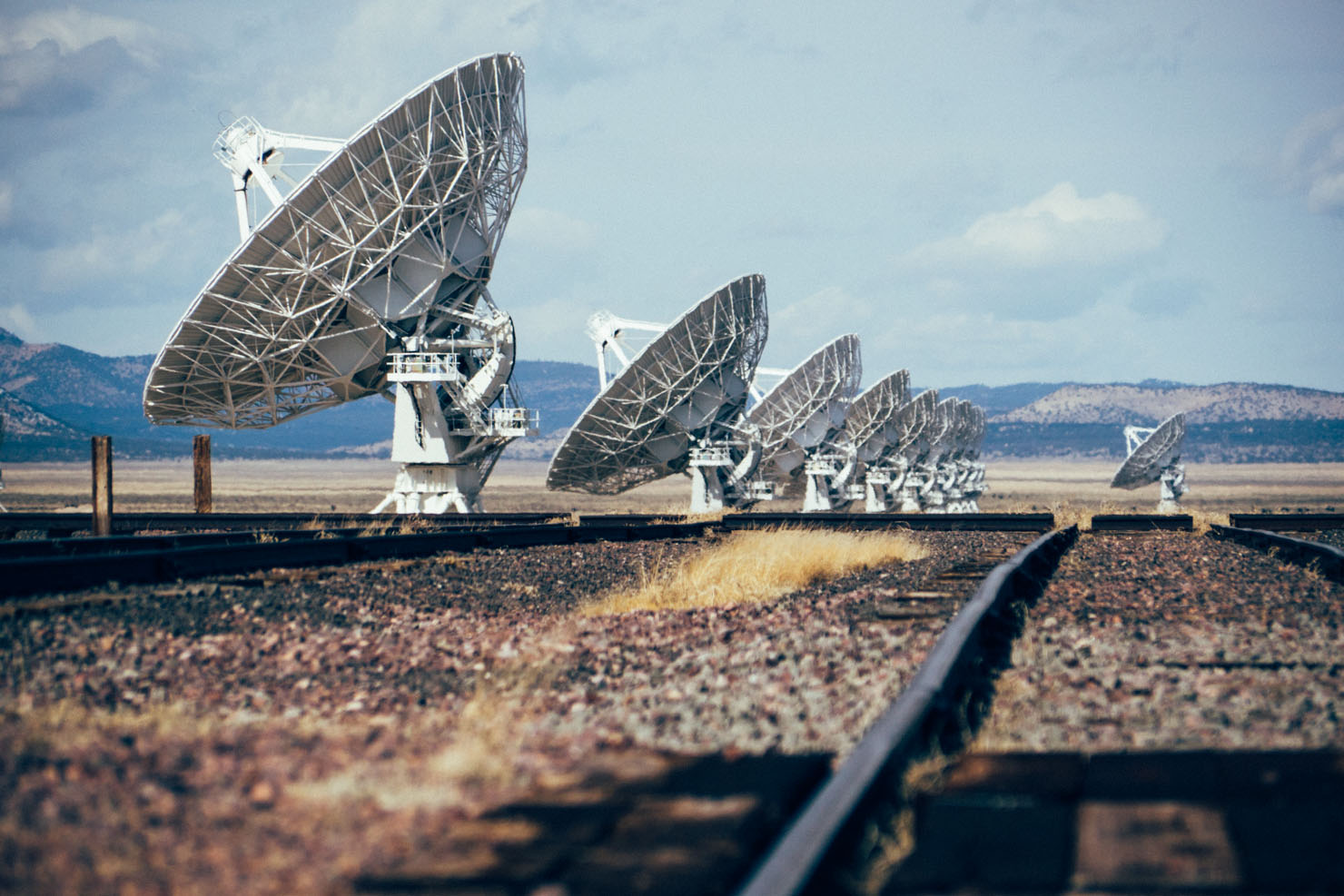
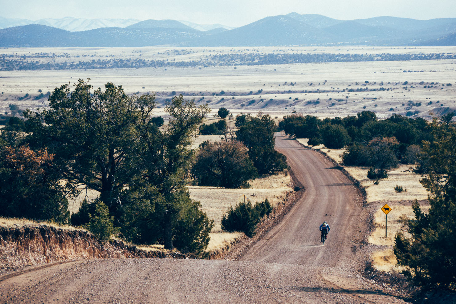
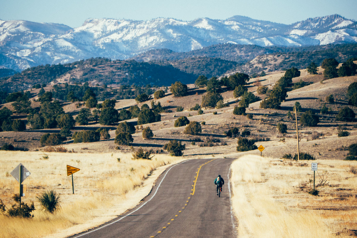
Changes in vegetation are clues to an increase in elevation, as cholla cacti give way to piñon and junipers. Passing the Very Large Array – the giant antennas that tirelessly probe the furthest reaches of deep space – the route skirts around the San Mateo Mountains, home to ghost towns and mines of yesteryear, with quirky names like Chloride and Dusty… And more frontier history, if folklore is to be believed, for this is where the Apache Kid, the legendary renegade army scout, was said to have been hunted down and killed in 1894.
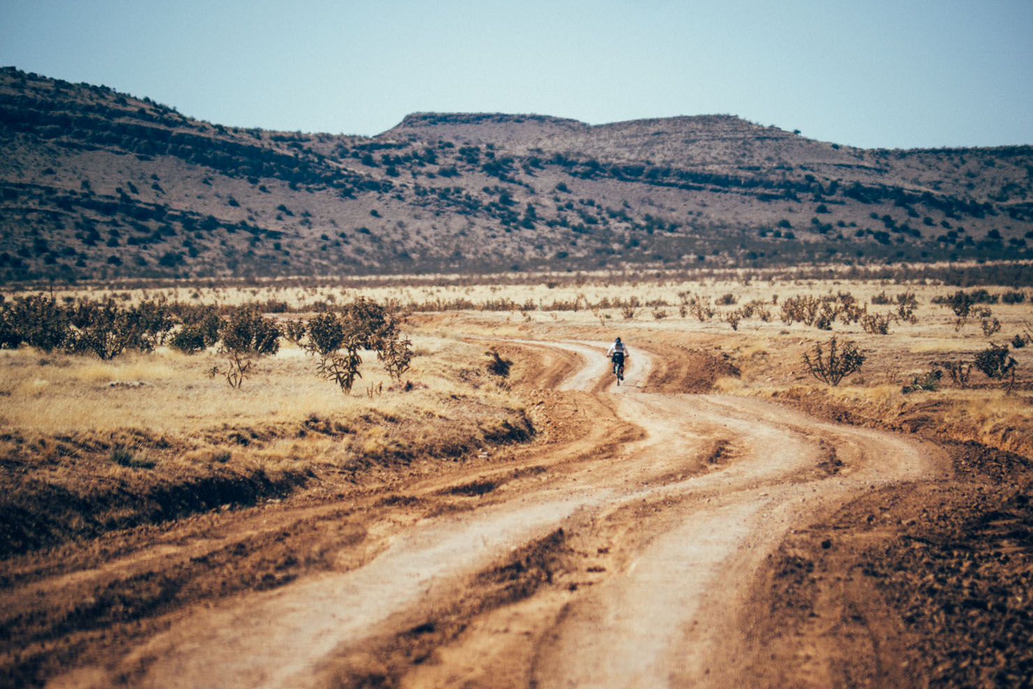
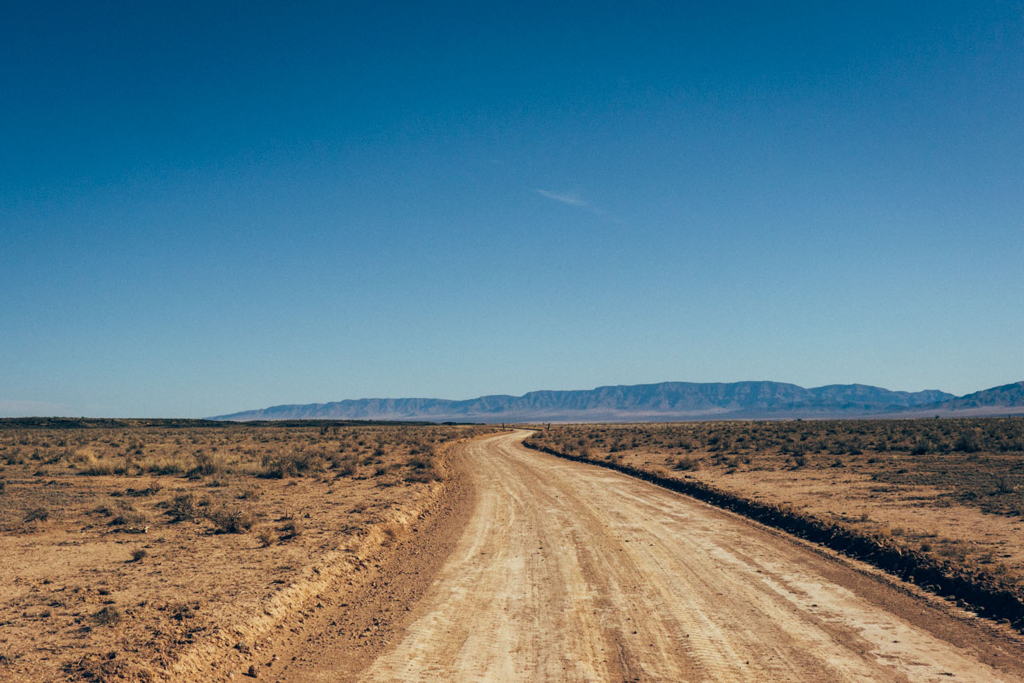
From the improbably titled Truth of Consequences – whose hot springs were frequented by Geronimo, the Apache leader who fought Mexican and American expansion into tribal lands – the ride loops back north. This time it follows the east side of the Rio Grande, thus experiencing a completely different perspective of the mountains. And in doing so, a taste of real desert riding.
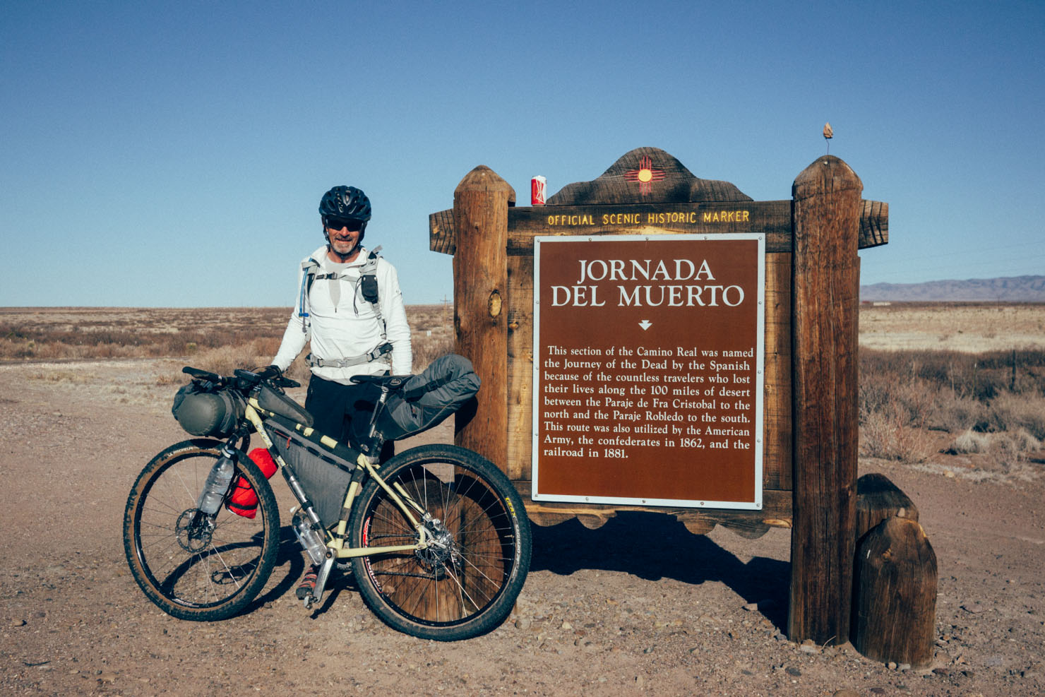
In fact, this homebound stretch of the tour parallels a section of the ‘Jornada del Muerto’ – literally, the Route of the Dead Man – so named by 17th century conquistadores, in reference to its inhospitable, lava-encrusted terrain; one of the most challenging desert stretches of the Camino Real de Tierra Adentro. The ‘Royal Road’, 1600 mile in length, once ran from Española, north of Santa Fe, all the way to Mexico City, helping trade and spreading Christianity across the continent.
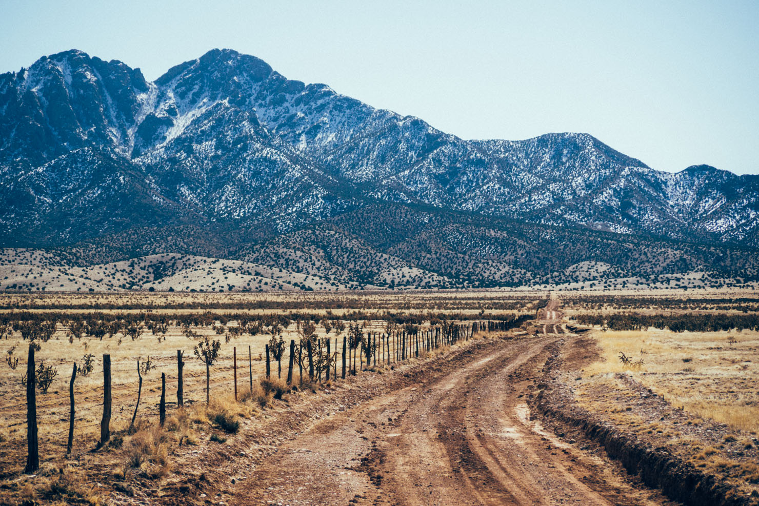
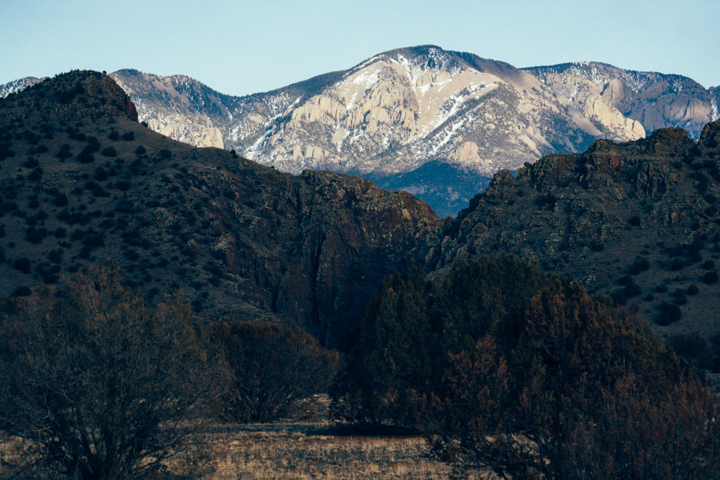
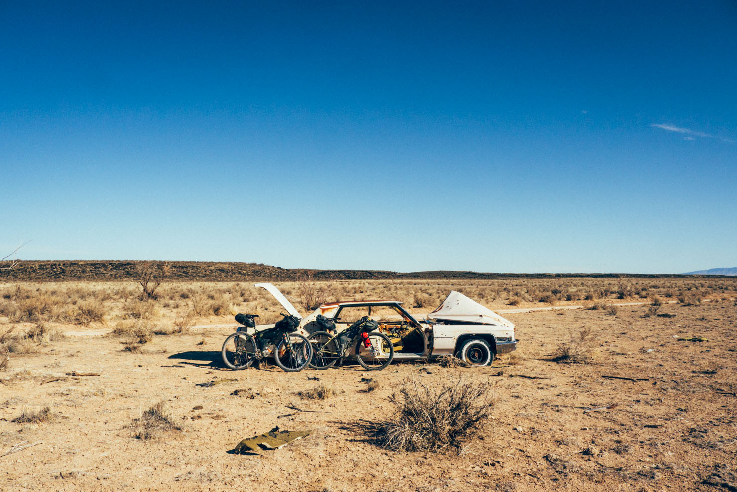
Past the remains of an old bullet riddled Cadillac, fine desert views can then be enjoyed towards the Sierra Blanca, a range in the east. Its peak, just shy of 12000ft, is part of the Mascalero Apache Indian Reservation.
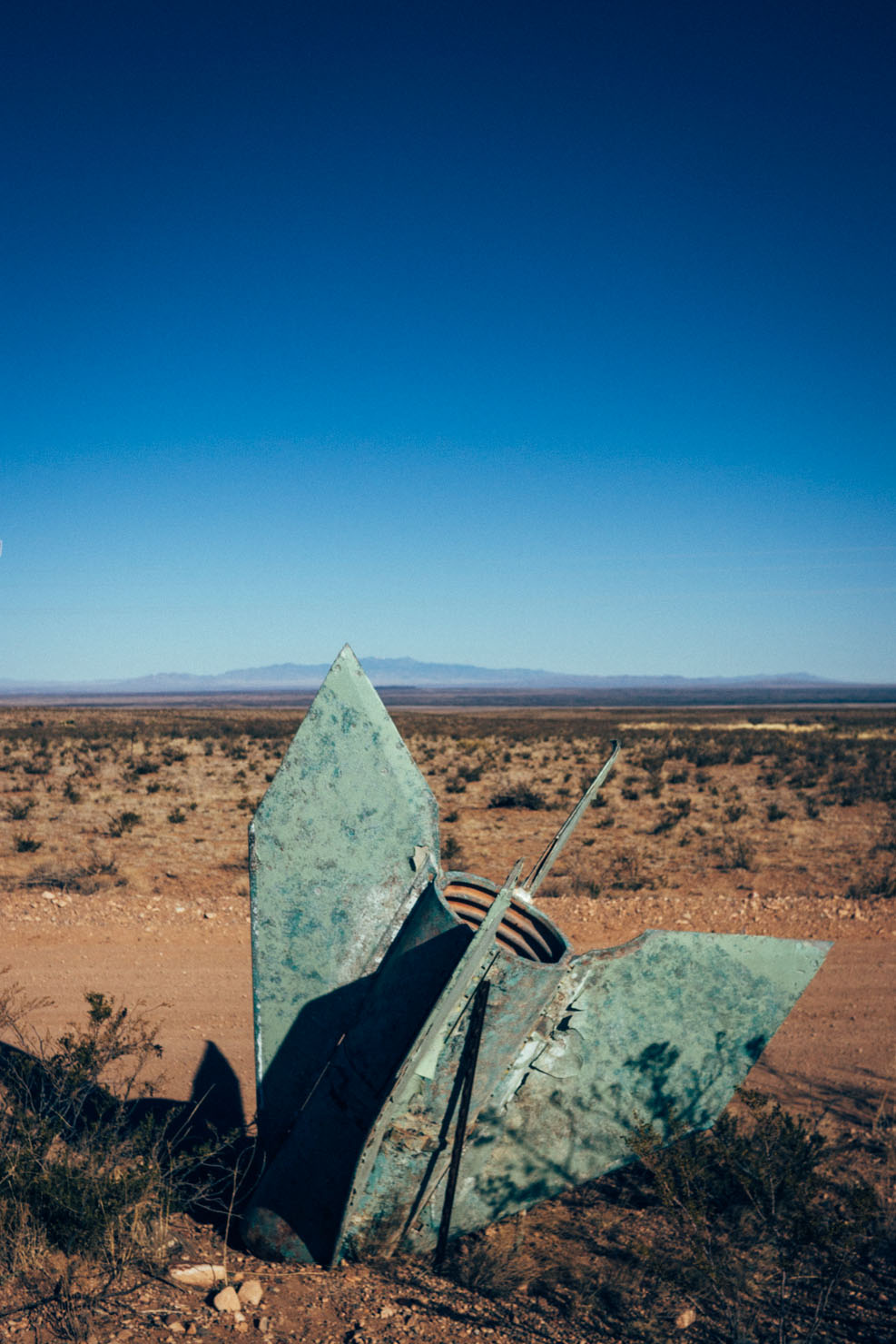
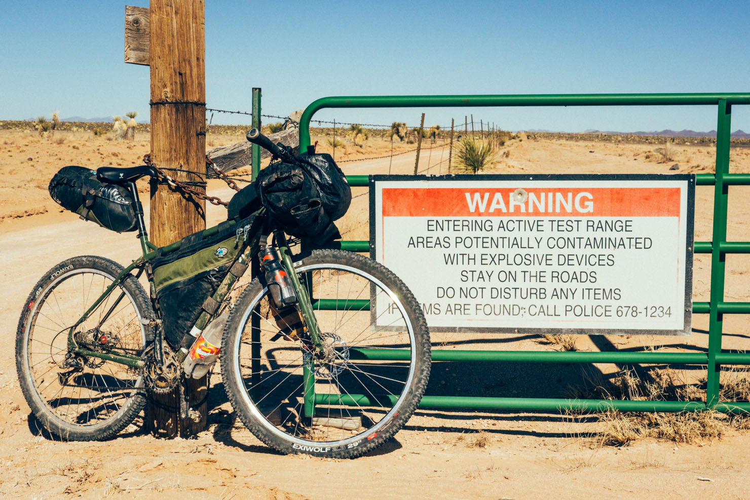
Finally, just to add further depth to the area’s notoriety, the route flanks the fenceline of the White Sands Missile Range, infamously known as the Trinity Site, the codename used for the detonation of the first atomic bomb, on July 16th 1945.
So, in many ways, both a beautiful winter desert tour, and an insight into the many historical layers of New Mexico…
(see Trail Notes for variations on this loop, via Bear Trap Canyon and Monticello Box, depending on the weather)


Submit Route Alert
As the leading creator and publisher of bikepacking routes, BIKEPACKING.com endeavors to maintain, improve, and advocate for our growing network of bikepacking routes all over the world. As such, our editorial team, route creators, and Route Stewards serve as mediators for route improvements and opportunities for connectivity, conservation, and community growth around these routes. To facilitate these efforts, we rely on our Bikepacking Collective and the greater bikepacking community to call attention to critical issues and opportunities that are discovered while riding these routes. If you have a vital issue or opportunity regarding this route that pertains to one of the subjects below, please let us know:
Highlights
Must Know
Camping
Food/H2O
Trail Notes
Resources
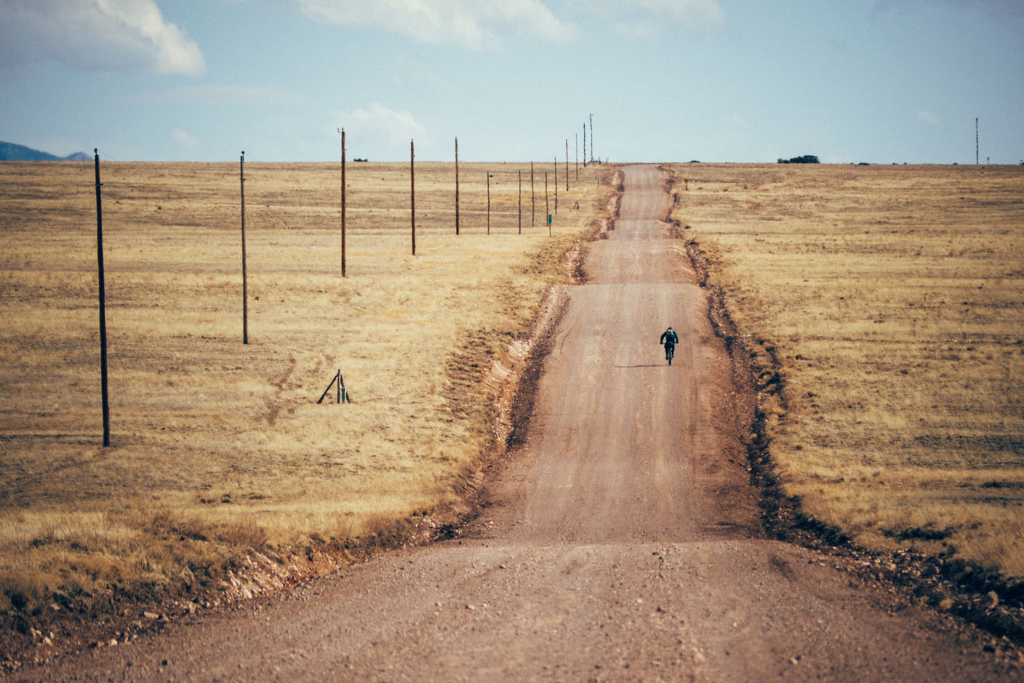
- Riding the traffic-free, baked dry dirt roads around Pico Ladrón.
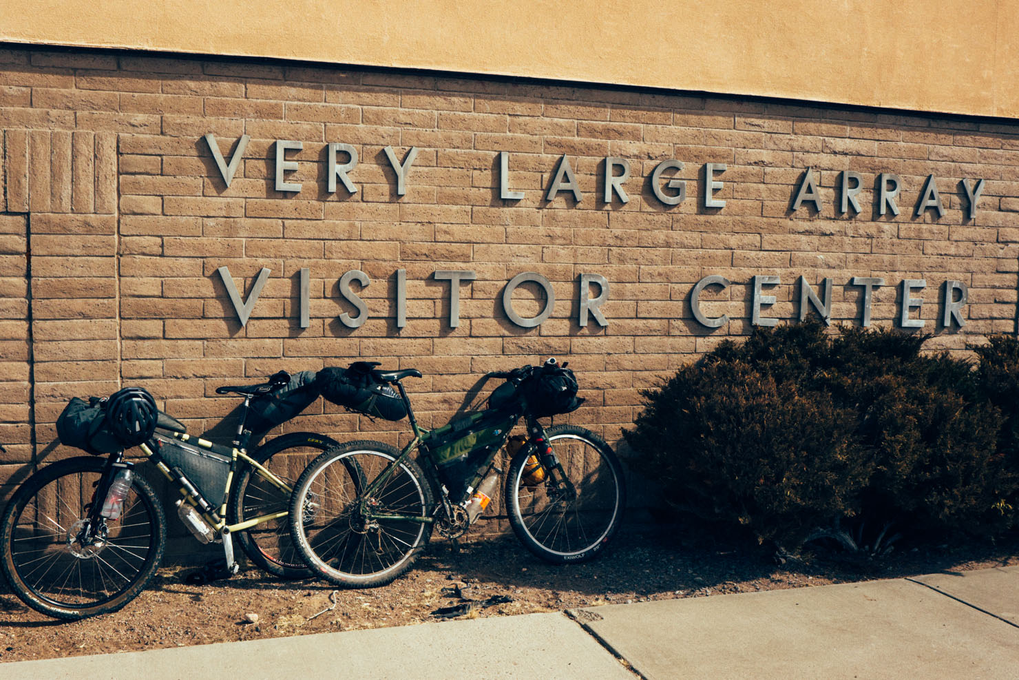
- Visiting the Very Large Array (where Jodie Foster’s Contact was filmed), and going on a free, self-guided tour.
- Experiencing backcountry New Mexico, with its old pioneer towns and characterful trading posts.
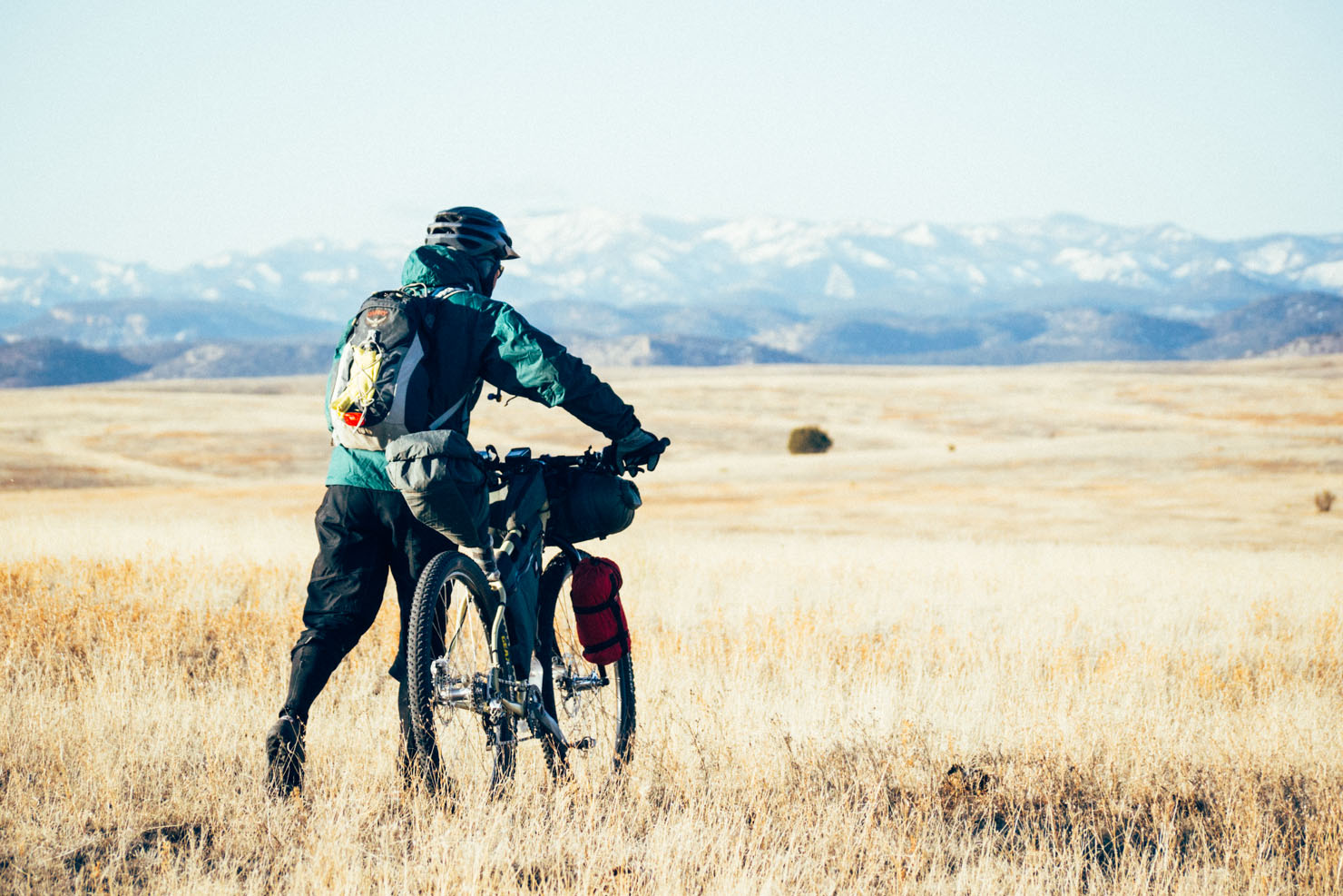
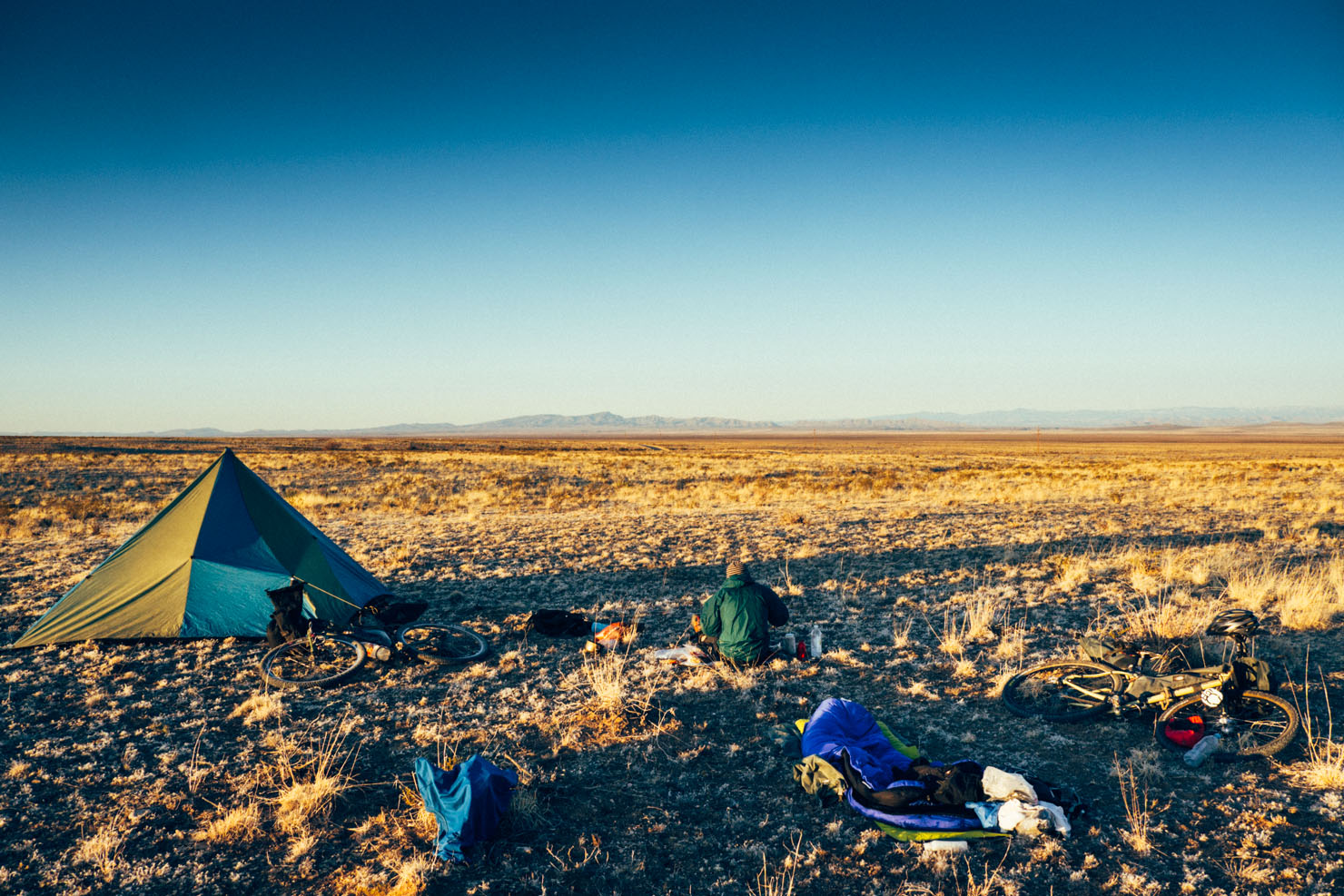
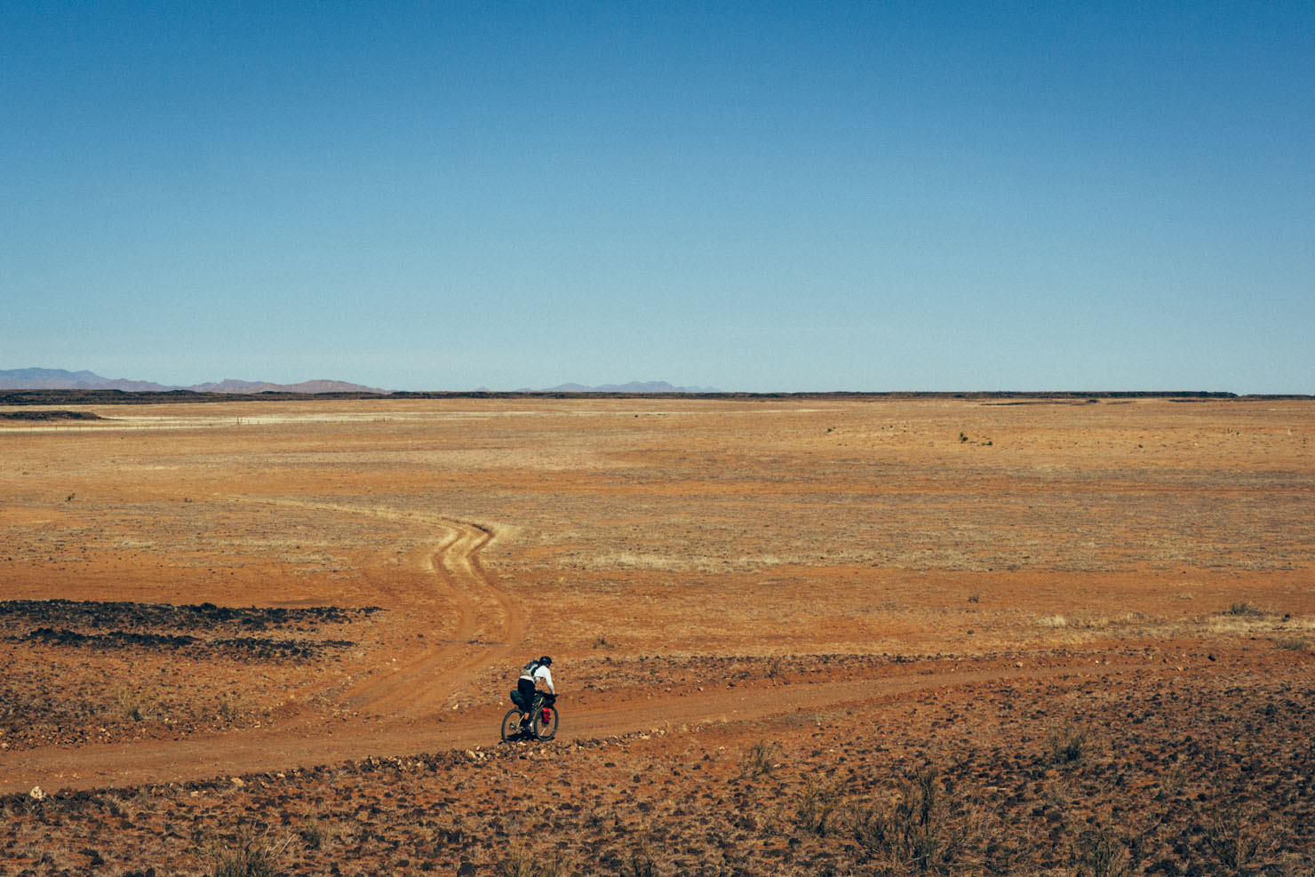
- The windy, but beautifully bleak Plains of San Angustin, lying within the Mogollon-Datil volcanic field.
- Silent, star filled desert camping.
- Need to rest sore muscles? The Charles Motel and Spa in T or C charges $5 to soak in a hot mineral water tub. 113 degrees of ‘aaahhhhhhhhh’
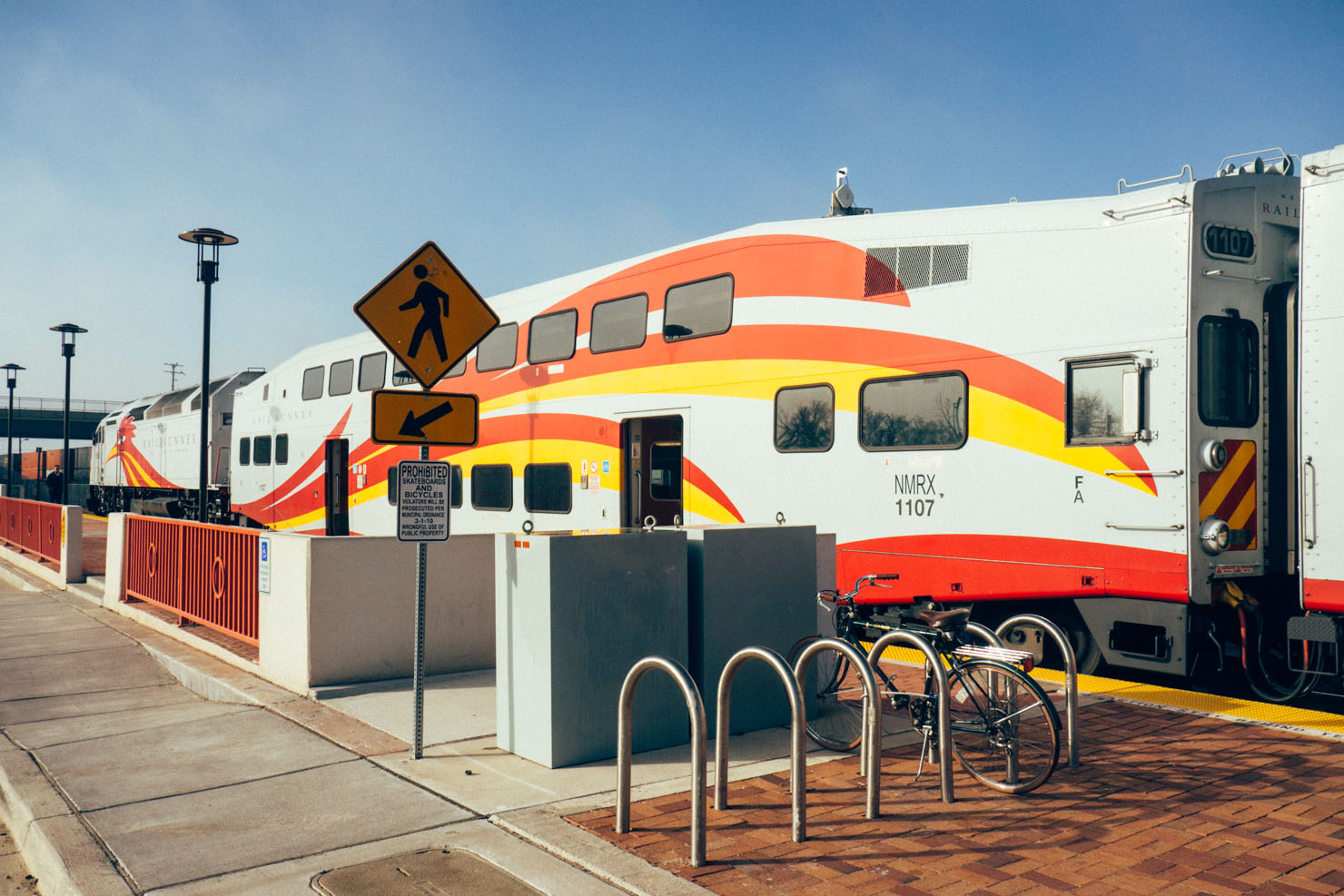
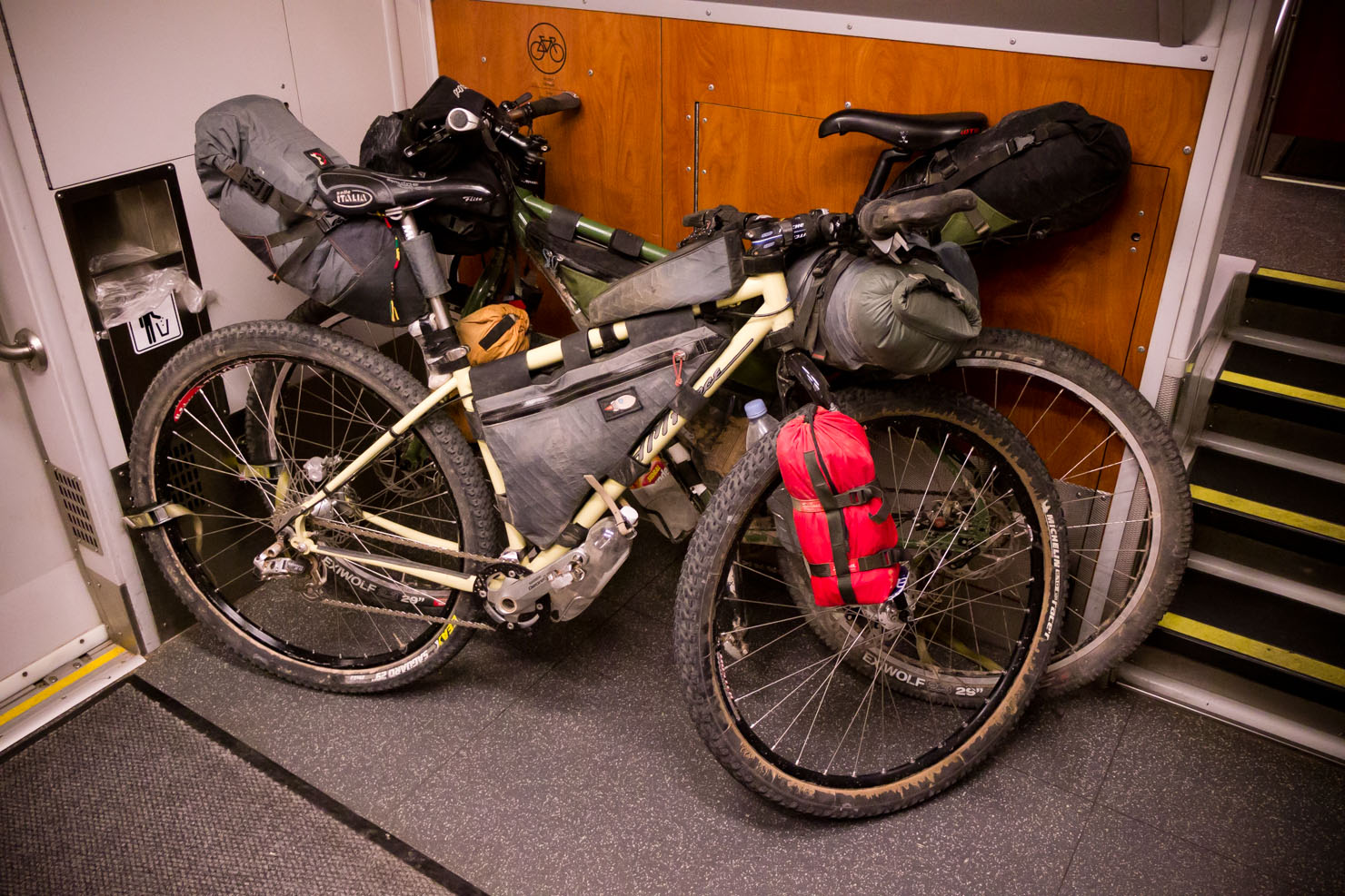
- Mixing bikepacking with the state’s extremely affordable public transit system, including the bike-friendly Railrunner.
- We packed light and averaged around 80 miles a day over this 4 day ride, with 2700-3700ft elevation gain a day. We started early so even given the short winter days, this allowed plenty of time for lunch breaks and quick photo stops. The second day was particularly windy, out on the unprotected San Agustin Plain.
- We used the Railrunner and Socorro’s public bus to cut down on pavement miles in and out of Albuquerque. Being geared towards commuters, the Railrunner’s timetable can also be limiting – but with forward planning, it’s an excellent, affordable train service with ample space for bikes. As for the bus, it only take 3 bikes, so it’s worth ringing ahead – though we didn’t have any problem finding two spots on the afternoon service. Note too that the bus uses a rear rack, so you may need to remove, or loosen up, your framebag. Price-wise, the Railrunner costs $3, and the bus is $2.25. Best to have exact change.
- Navigation-wise, we preloaded a Garmin with topos of the Four Corners, supplemented by photocopied pages from the Delorme New Mexico Atlas and Gazetteer.
- On our last day, we followed a dirt road along the Rio Grande up to Socorro, to connect with the afternoon bus to Belen. But if you have a bit more time, you could take the Quebradas Backcountry Byway, as marked on the gpx file.
- This ride is best undertaken in the spring, fall or early winter, to avoid high summer temps and the monsoon season. Spring can be hellishly windy though. Post fall, expect cold night time temps, especially before T or C. We rode it in February – see Trail Notes for options at different times of the year, dependent on recent snowfall.
- Whatever time of year it is, avoid the area straight after heavy rain… after all, there’s a reason New Mexican houses are made from adobe! This said, the dirt roads dry out very quickly.
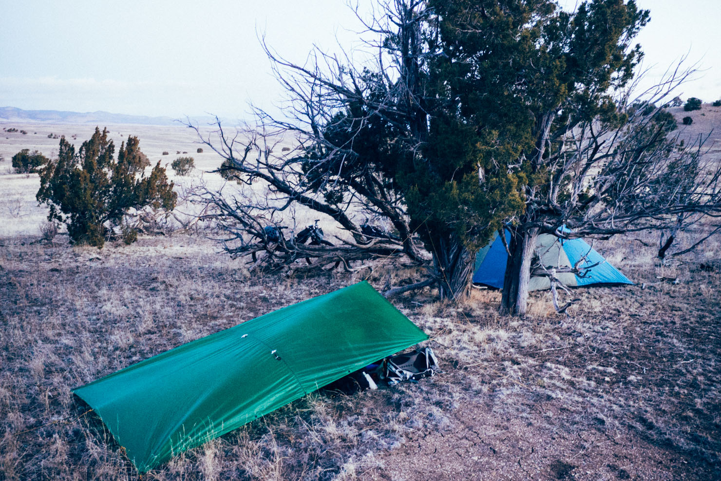
- Wilderness camping options abound throughout this route – but carry water.
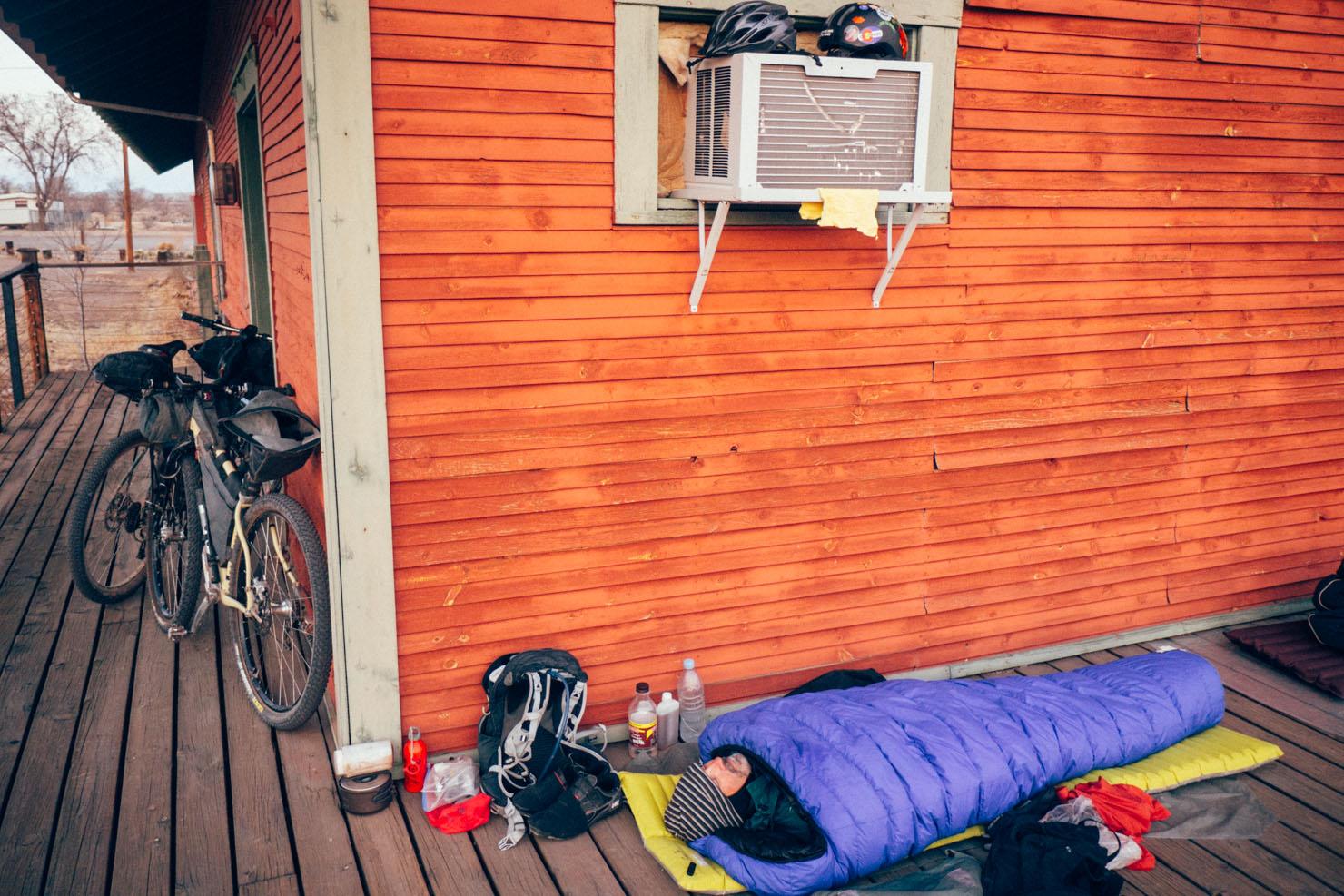
- In Magdalena, we stealth camped behind the library, which didn’t seem to upset anyone.
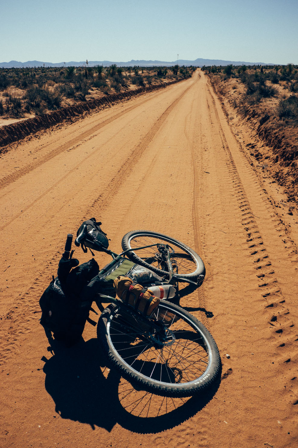
- There are resupply points en route for food/water – in Magdalena, Winston and Truth or Consequences. Water-wise, we didn’t find anywhere between the ranch office in Engle and Socorro, unless you detour via San Antonio. We each carried 5 litres of water at a time, though you may want more to tide you through from Engle to Socorro.
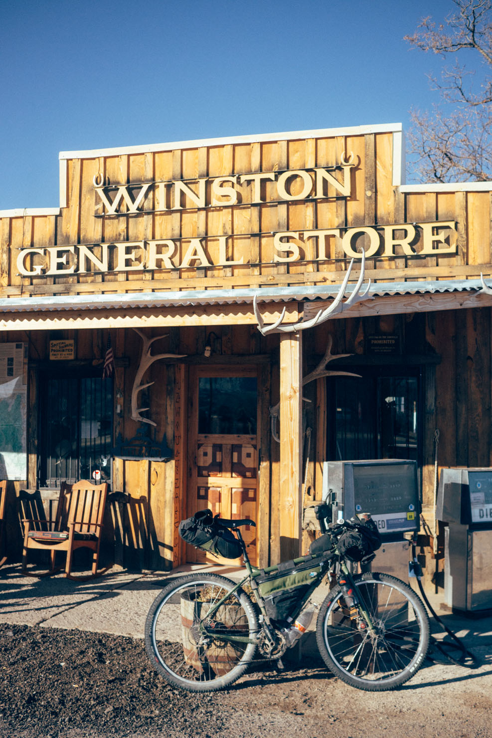
- The Winston General Store is adorned with racks of antlers and well stocked with food. Most relevant to scruffy cyclists, it boasts an unexpectedly luxurious WC (-;
- Truth or Consequences is a small detour off route, but a great supply point – and home to the Geronimo Springs Museum.
- The Brazen Fox in T or C has excellent, well-priced mexican tapas/street fare. Highly recommended.
- If low on food and water, consider detouring to the crepuscular Owl Bar and Cafe, said to rustle up one of the best green chili cheeseburgers in the state.
- Manzanares Street Coffeehouse in Socorro is a good spot to while away some time, if waiting for the public bus back to Belen.
- If you’re starting or ending in Albuquerque, visit Frontier Restaurant (2400 Central Av SE), a local institution famed for its cheap, tasty New Mexican food. The Frontier Burrito is a favourite. Be extra vigilant with your steed, as bike crime is rife in the area.
We caught the early morning train from Albuquerque to Belen. Then, it was backroads parallel to the interstate down to Bernardo. From here, we picked up the CR12 round Pico Ladrón, via the ghost town of Riley to Magdelena. From Magdalena, our original plan was to find an alternative to the 60 – the map shows an old highway but that’s no longer accessible. Detouring to the fascinating Very Large Array, 52 took us all the way down to 181, by Interstate 25, via Winston and Cuchillo – the longest stretch of pavement on the ride.
Had we been outside of mid winter, we’d have perhaps turned off onto 476 (past the VLA) and ridden through Bear Trap Canyon and Big Pigeon Canyon, as a more interesting way of connecting once more with 52 (and thus avoiding the hellishly windy San Angustin Plains). You can find more information about this detour by checking out the New Mexico Off Road Runner Route.
If the weather is on your side, another option is to then to take the forest road through Monticello Box and Monticello Canyon, as a means of avoiding the long stretch of pavement via Winston. This connects again with 52, via Monticello and 142.
Nov 2015 Update: Locals say that the ranchers and folks in Monticello petitioned the county to close the connecting forest road through Monticello Canyon recently, due to increased 4-wheeler traffic/noise. The petition was evidently successful, as enormous gates have been erected at either end. Thanks Austin for this info.
We detoured down to Truth or Consequences for food, then headed out on 51 to Engle. From here, there’s a dirt road that flanks the White Sands Missile Range, emerging some 50 miles later east of San Antonio. If you don’t want to take the Quebradas Backcountry Byway – as shown on the gpx file – consider detouring to San Antonio (home to the Owl Bar and Cafe) and looping back to Socorro via dirt roads along the Rio Grande, amongst wizened cottonwoods. From Socorro, we caught the afternoon bus to Belen, and the connecting Railrunner back to Albuquerque.
Additional Resources
- New Mexico Department of Transportation, for figuring out the logistics of New Mexico’s public transport system.
- My original trip report can be found here, with more details on the area’s history.


Terms of Use: As with each bikepacking route guide published on BIKEPACKING.com, should you choose to cycle this route, do so at your own risk. Prior to setting out check current local weather, conditions, and land/road closures. While riding, obey all public and private land use restrictions and rules, carry proper safety and navigational equipment, and of course, follow the #leavenotrace guidelines. The information found herein is simply a planning resource to be used as a point of inspiration in conjunction with your own due-diligence. In spite of the fact that this route, associated GPS track (GPX and maps), and all route guidelines were prepared under diligent research by the specified contributor and/or contributors, the accuracy of such and judgement of the author is not guaranteed. BIKEPACKING.com LLC, its partners, associates, and contributors are in no way liable for personal injury, damage to personal property, or any other such situation that might happen to individual riders cycling or following this route.
Please keep the conversation civil, constructive, and inclusive, or your comment will be removed.