


The High Plains Byway: Bikepacking Nebraska’s Pine Ridge & Sandhills
Distance
357 Mi.
(575 KM)Days
7
% Unpaved
71%
% Singletrack
0%
% Rideable (time)
100%
Total Ascent
14,128'
(4,306 M)High Point
4,910'
(1,497 M)Difficulty (1-10)
7?
- 3Climbing Scale Fair40 FT/MI (7 M/KM)
- -Technical Difficulty
- -Physical Demand
- -Resupply & Logistics
Contributed By
Carly Gauger
Onion Velo
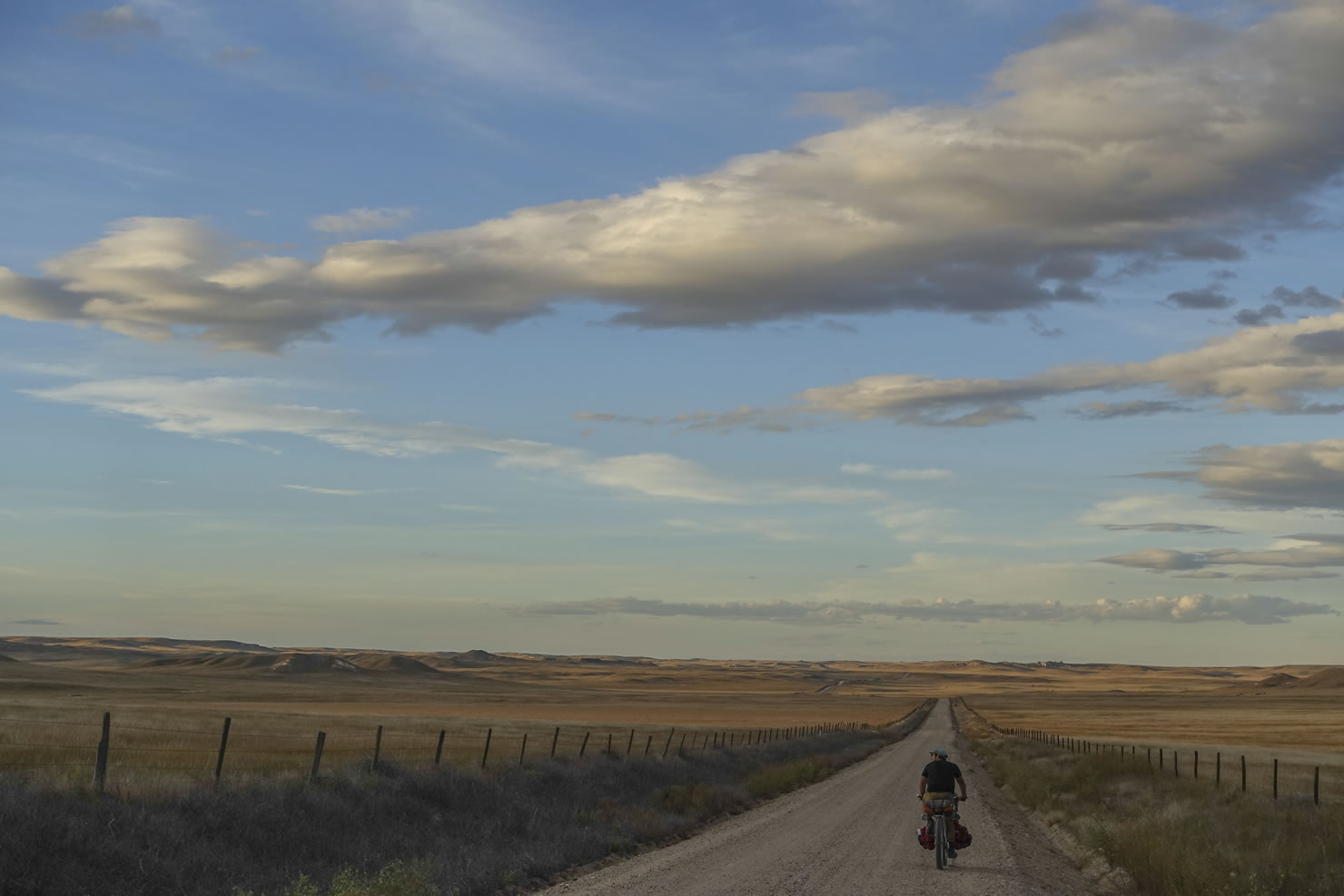
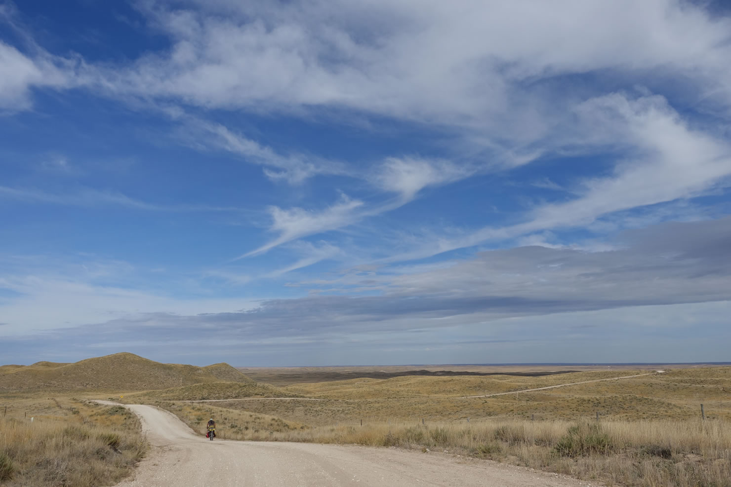
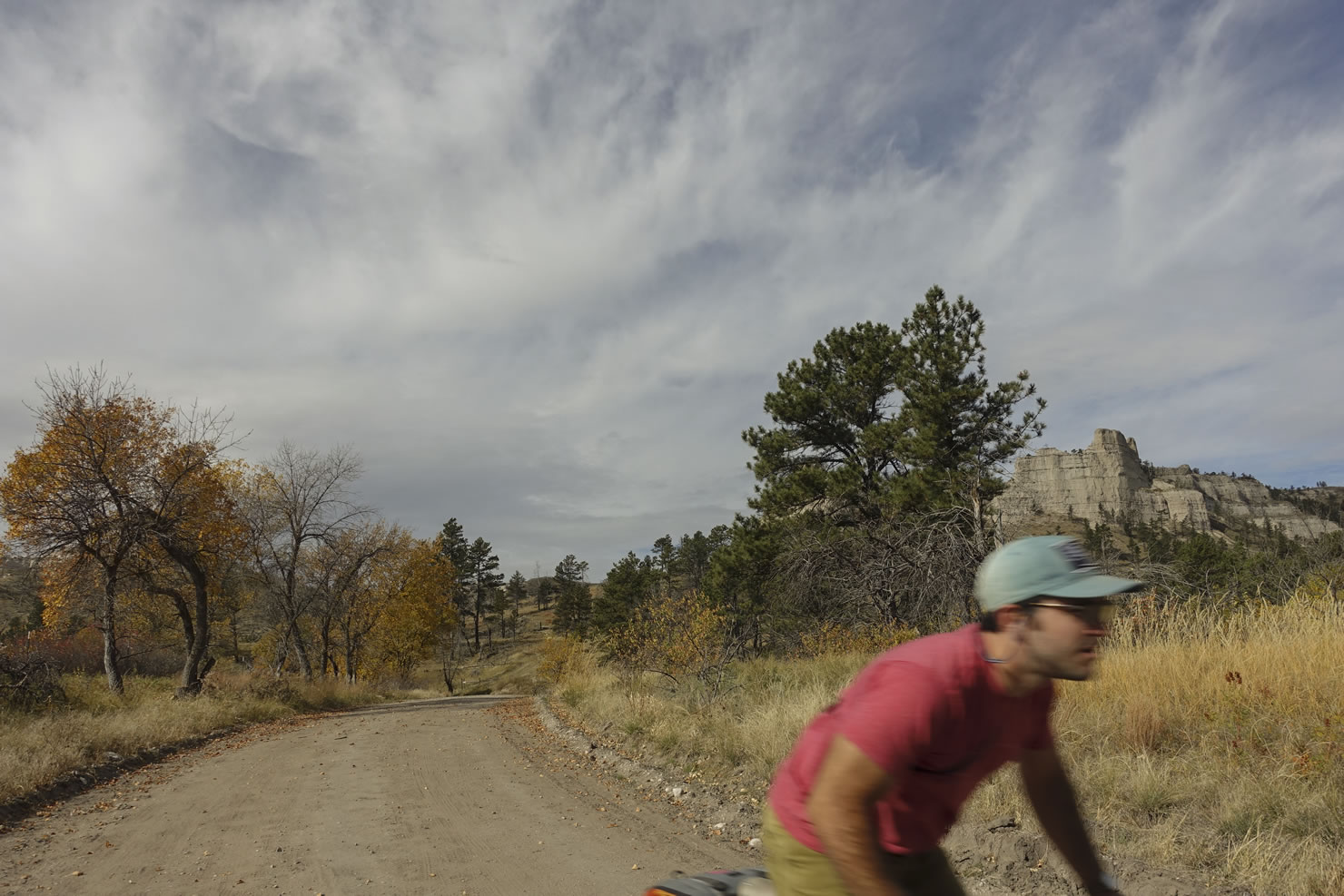
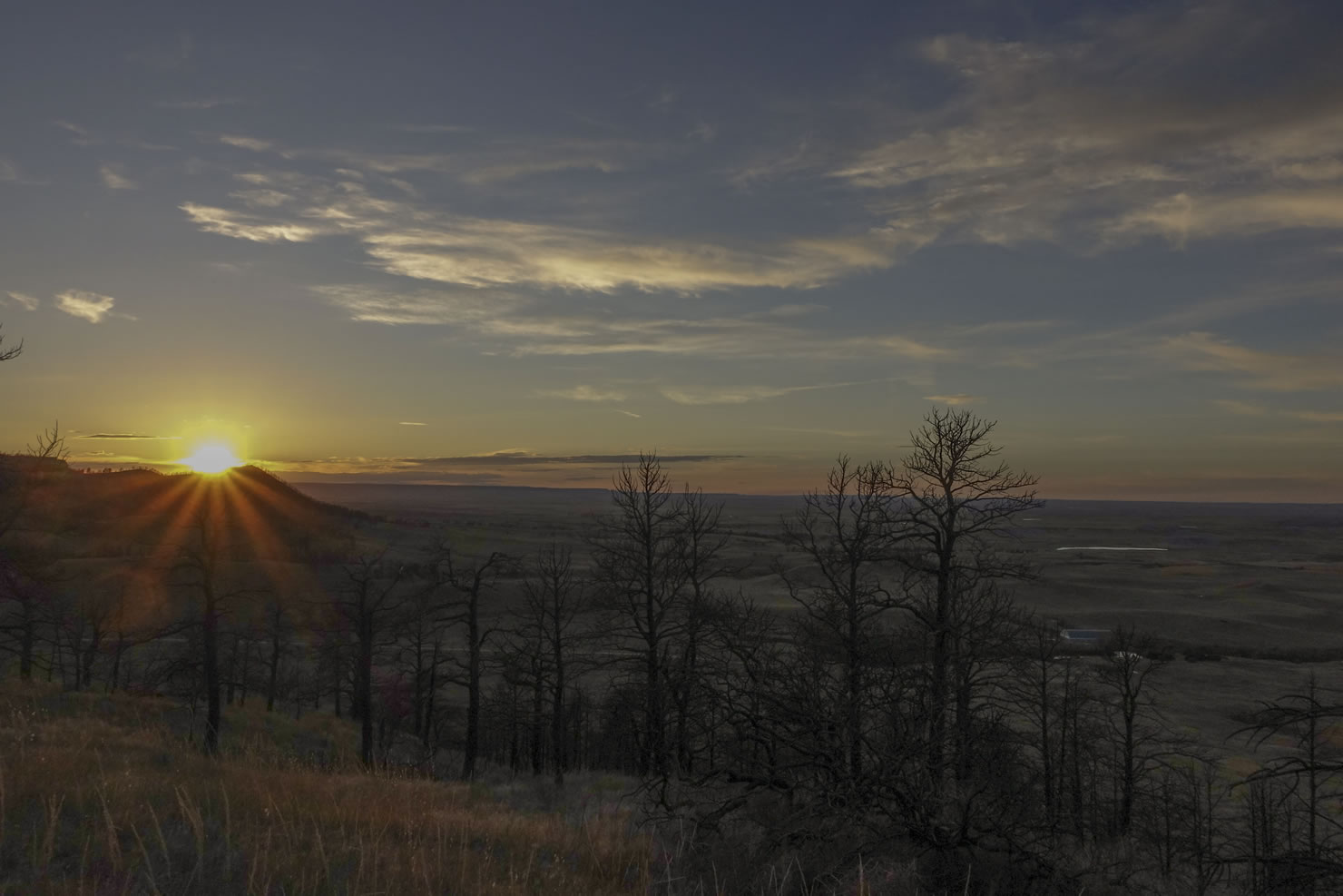
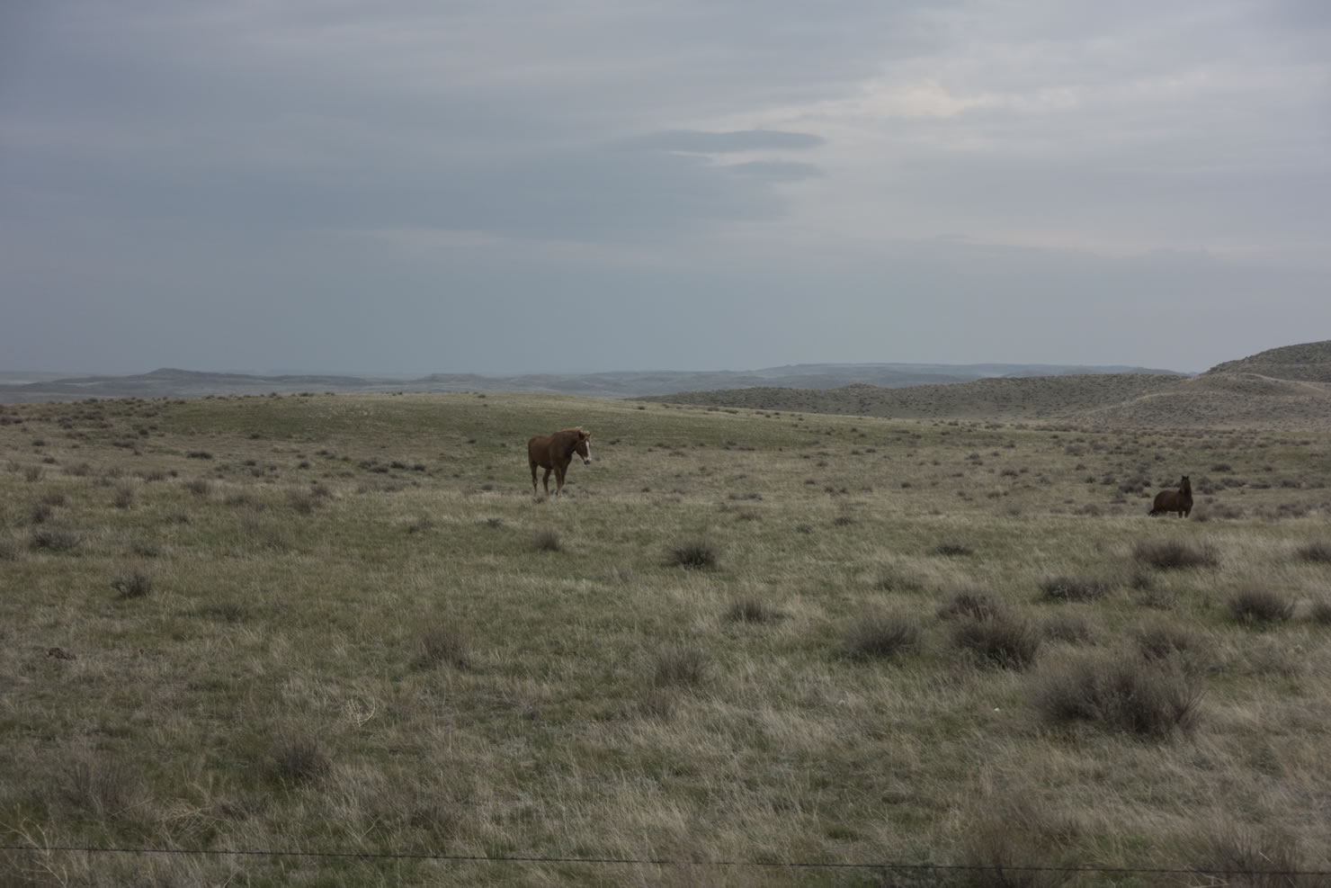
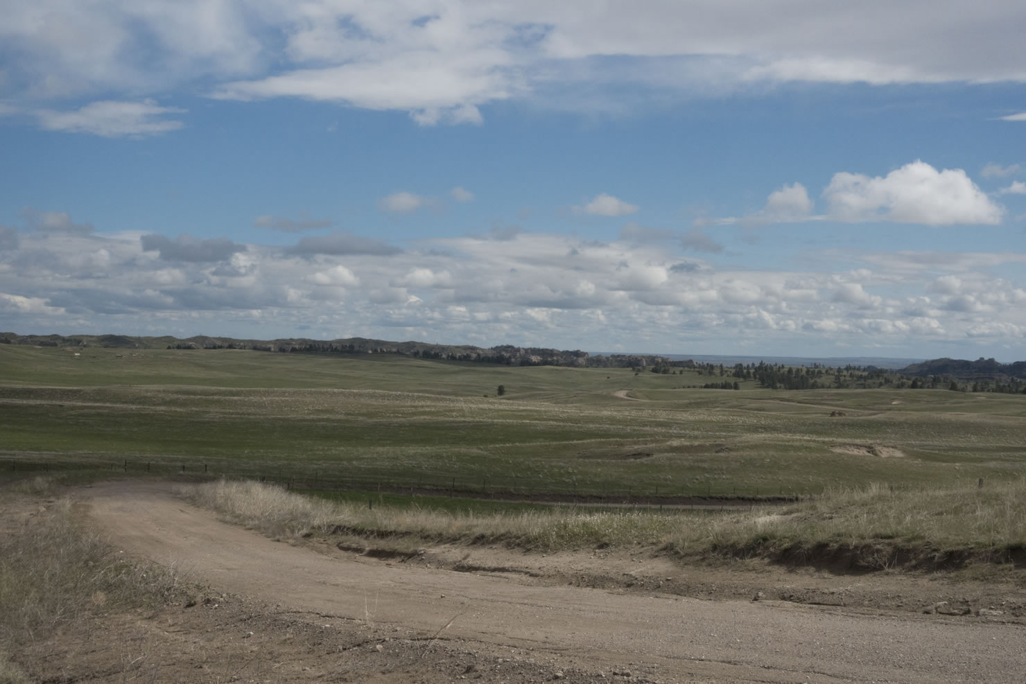
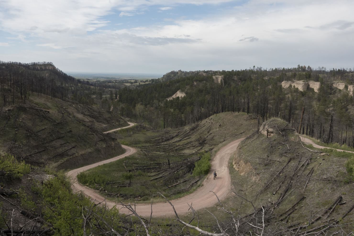
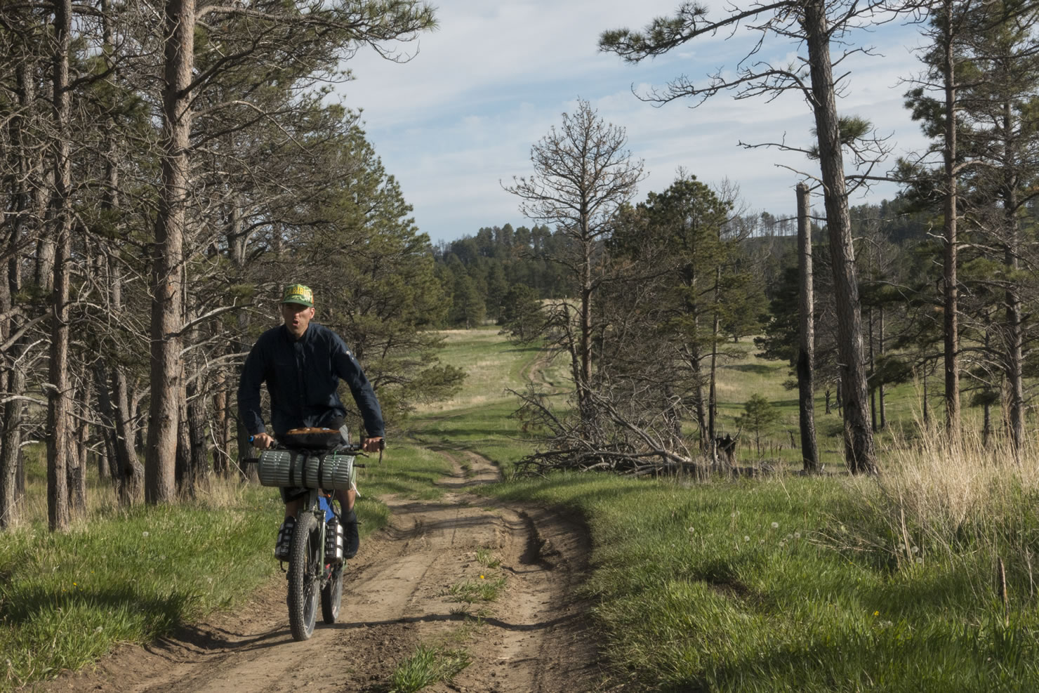
The route begins in the Wildcat Hills, and continues along the Pine Ridge escarpment, jogging back and forth between the scrubby grasslands of the table, the rugged pine filled canyons, and open valley below. Approaching by bike is your best chance to observe the abundant prairie wildlife. The area is populated by herds of mule deer, elk, pronghorn, and bighorn sheep, as well as coyotes, burrowing owls, rattlesnakes, and many other species.
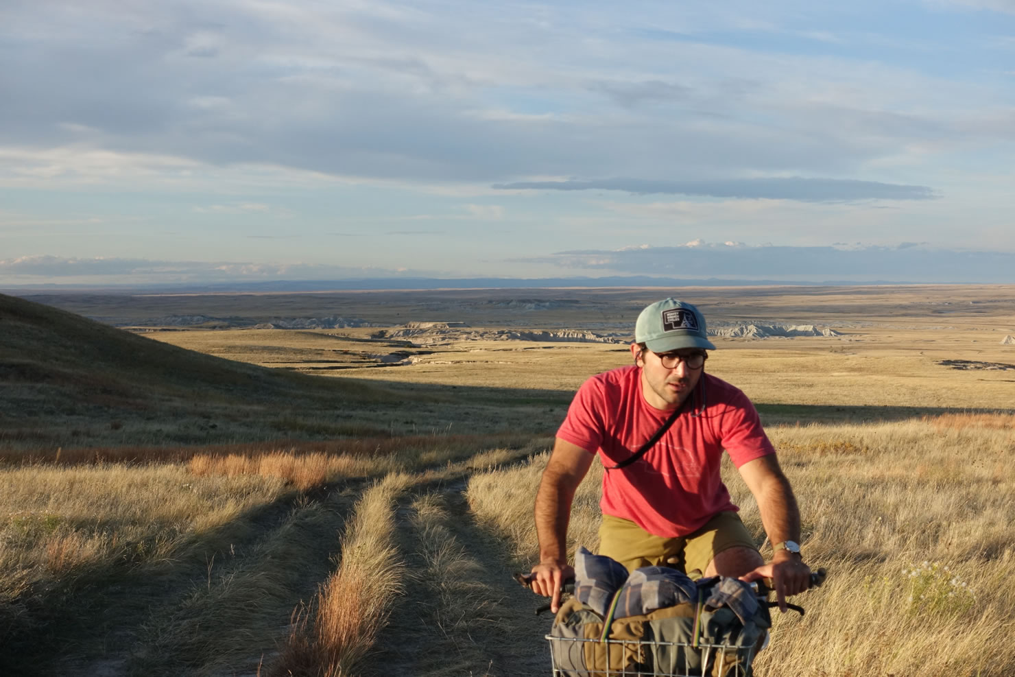
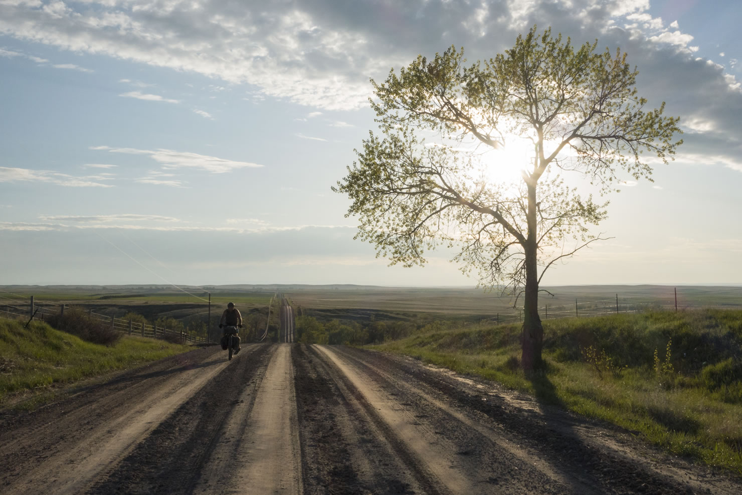
After several days following the Pine Ridge, you leave the distinctive sandstone buttes and steep canyon walls and make your way onto the rolling plains as you head east towards the Niobrara River. Once you cross the Niobrara the landscape changes drastically as the grassed sand dunes begin to rise on the other side of the river. From here on out you are entering what locals refer to as “Nebraska’s best kept secret”. The massive expanse of grassed dunes contains an intricate network of wetlands and lakes that replenish the Oglalla Aquifer that lies beneath it. The Sandhills are the most intact tract of prairie remaining in North America and a haven for migrating waterfowl, as well as grazing animals such as elk and pronghorn.
The route passes along and through several historically significant places. The town of Crawford lies beneath the stunning Red Cloud Buttes, the location of the Red Cloud Indian agency where Crazy Horse was murdered in 1877. Some of the last conflicts in the Indian wars occurred in the Pine Ridge region. One such tragedy was the escape of the starved and imprisoned band of Northern Cheyenne from Fort Robinson in 1879, which resulted in the massacre of over 30 men, women, and children along Antelope Creek.


Submit Route Alert
As the leading creator and publisher of bikepacking routes, BIKEPACKING.com endeavors to maintain, improve, and advocate for our growing network of bikepacking routes all over the world. As such, our editorial team, route creators, and Route Stewards serve as mediators for route improvements and opportunities for connectivity, conservation, and community growth around these routes. To facilitate these efforts, we rely on our Bikepacking Collective and the greater bikepacking community to call attention to critical issues and opportunities that are discovered while riding these routes. If you have a vital issue or opportunity regarding this route that pertains to one of the subjects below, please let us know:
Highlights
Must Know
Camping
Food/H2O
Trail Notes
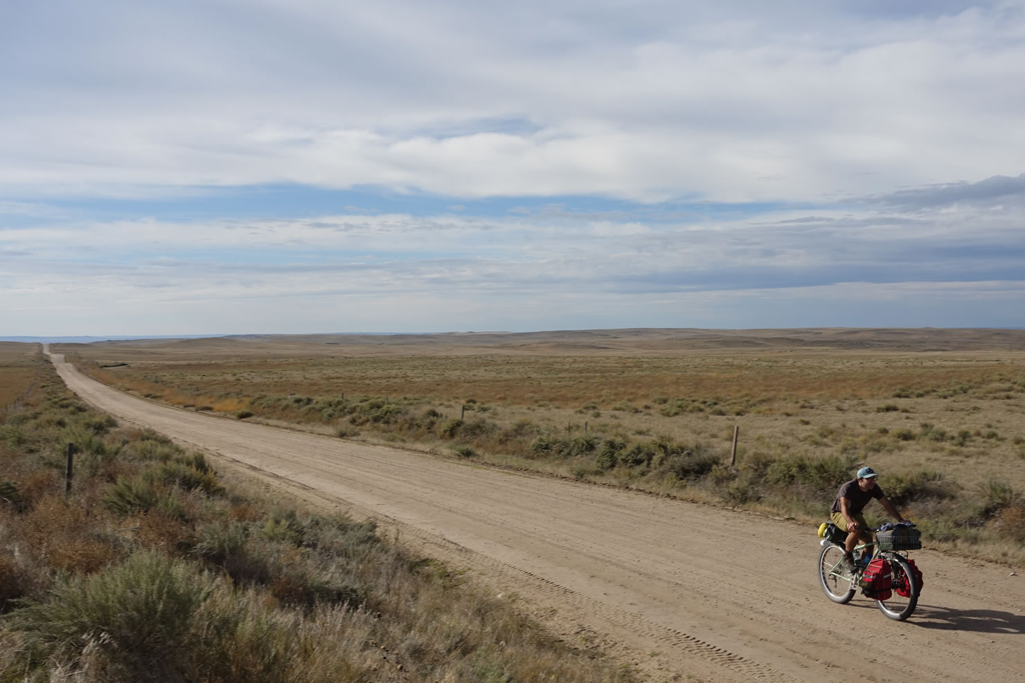
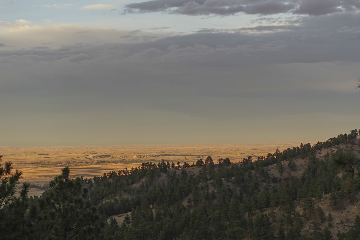
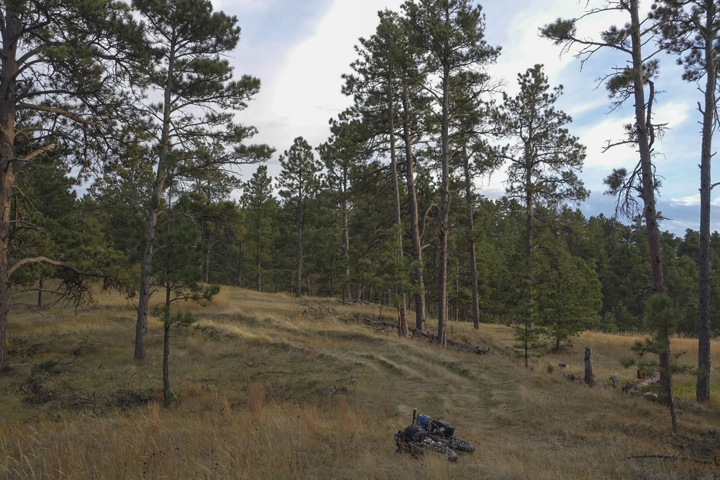
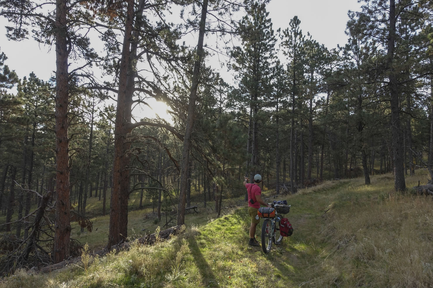
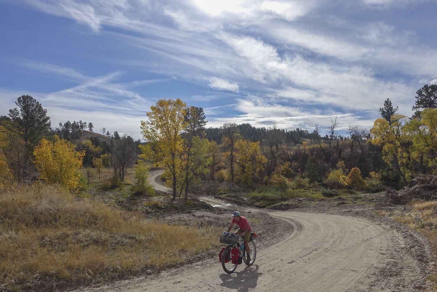
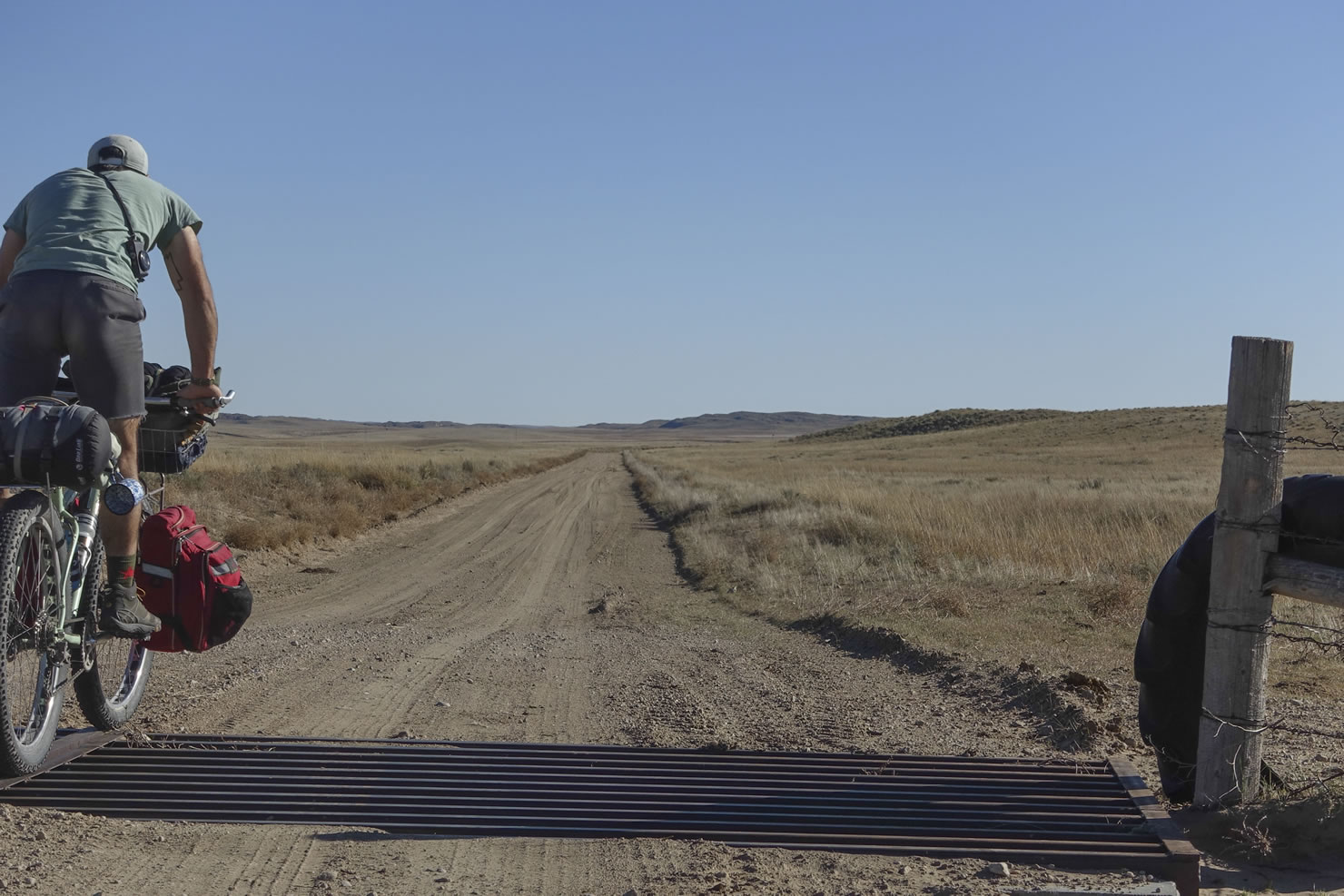
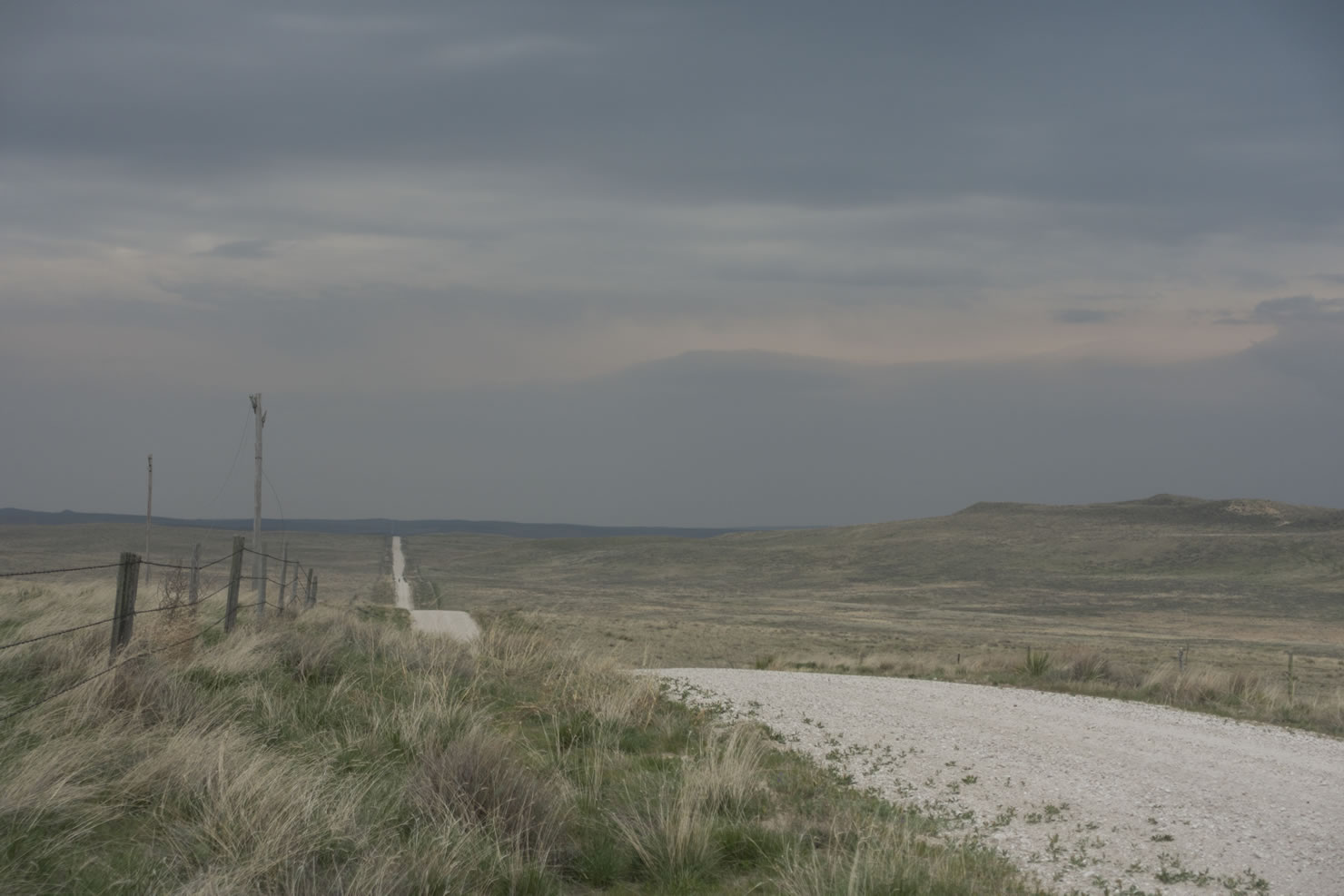
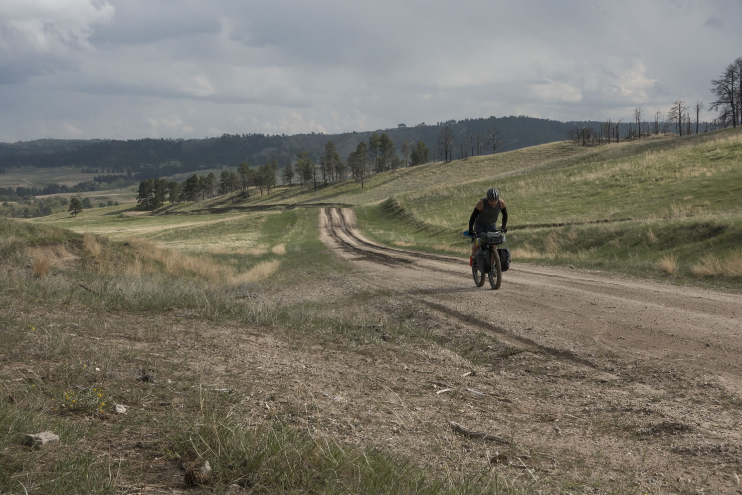
- The Pine Ridge: Over 100 miles in length, this escarpment rises up between the Niobrara and White River valleys, gaining nearly 5000 feet in elevation, and provides a stunning landscape of sandstone buttes, ponderosa lined canyons, and lung busting climbs.
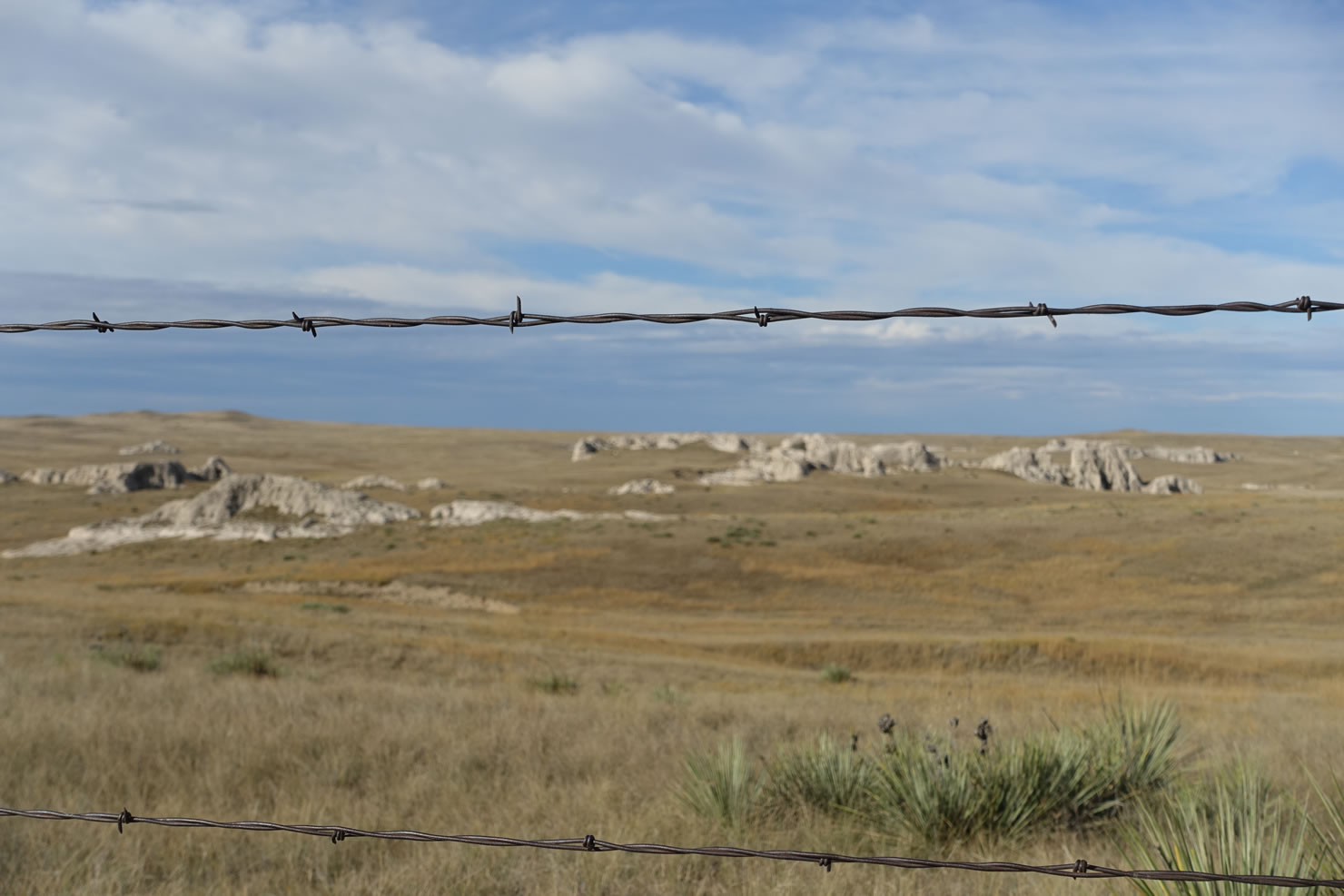
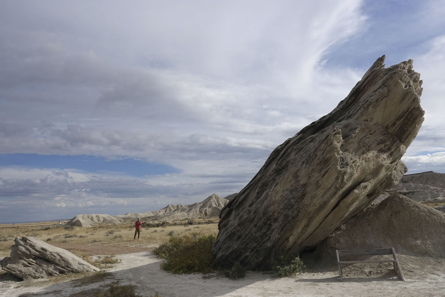
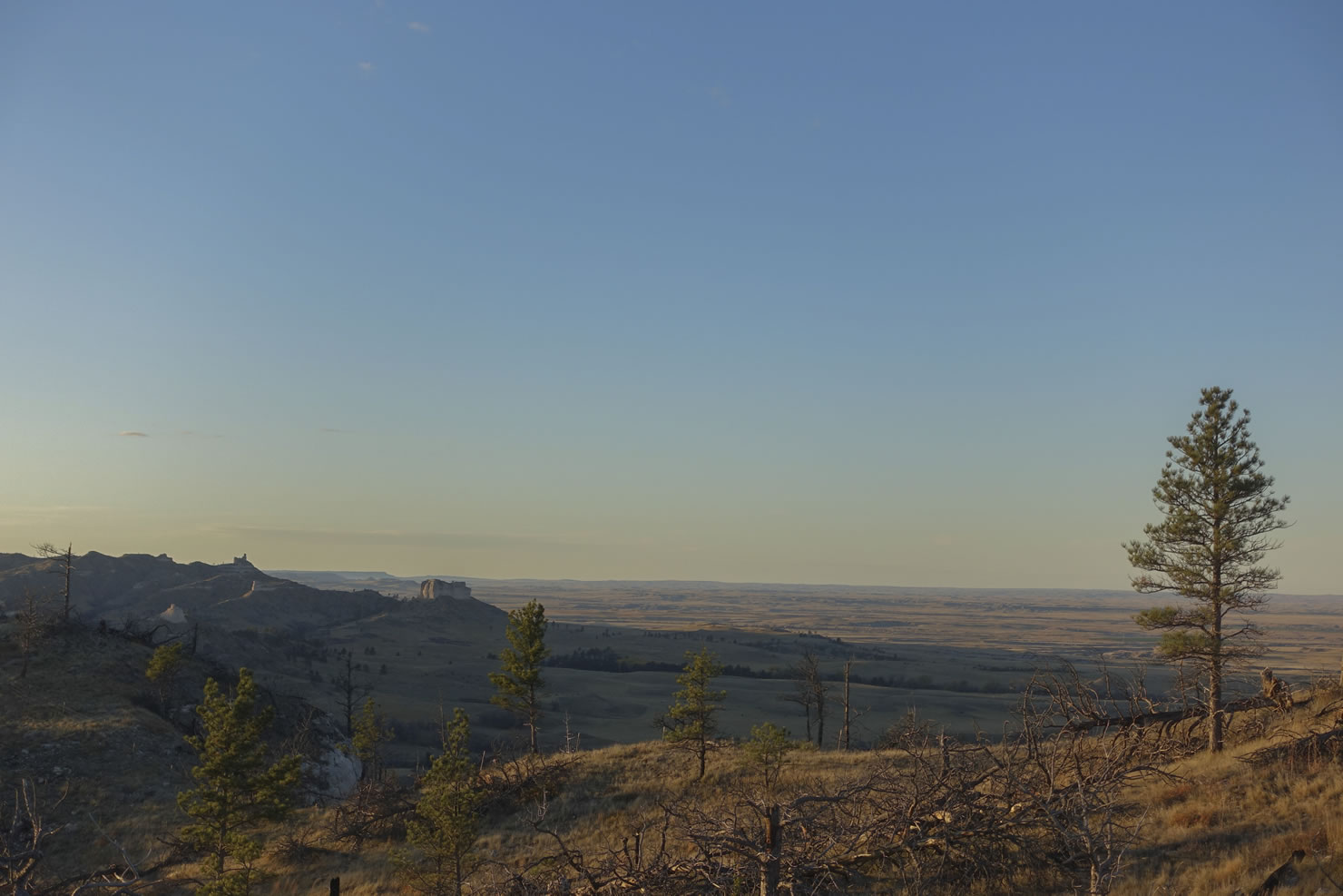
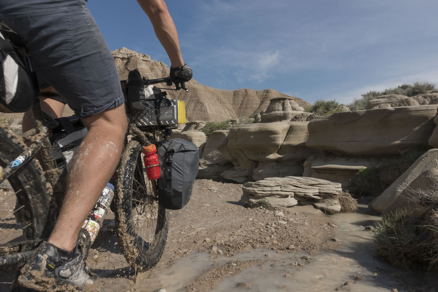
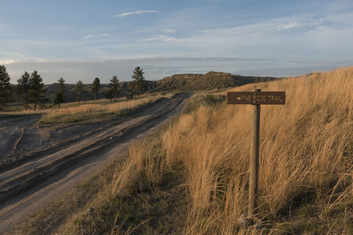
- Toadstool Geologic Park: Known as Nebraska’s badlands, this unique section of eroded sandstone features rock formations resembling toadstools, as well as tons of prehistoric fossils.
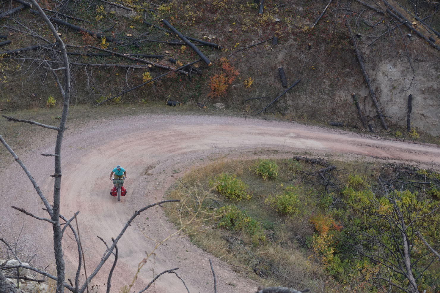
- Spotted Tail Road: This 10 mile section of rugged double track is one of our favorites of the route. Roaming up and down through a wide expanse of pine covered hills, it takes you to the eastern edge of the Pine Ridge before you leave towards Hay Springs.
- Dairy Sweet: Roadside diner that serves some of the best pit style barbecue that you’ll ever have!
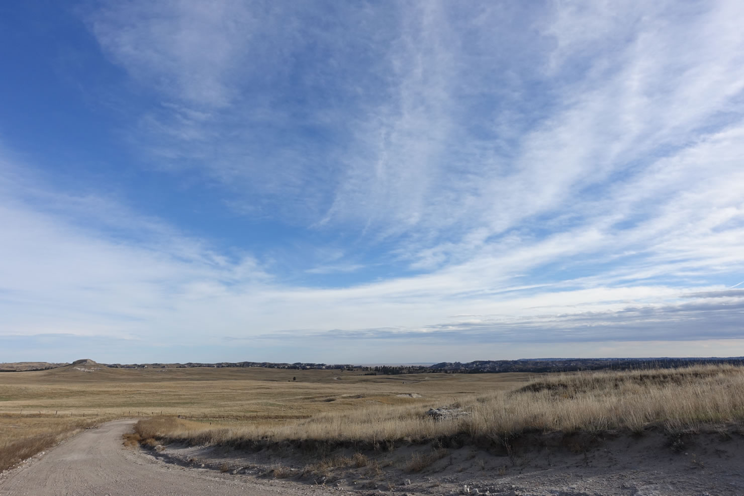
- The Nebraska Sandhills: At nearly 20,000 square miles, the Sandhills are the largest sand dune formation in the western hemisphere as well as the largest and most intricate wetland system in the United States.
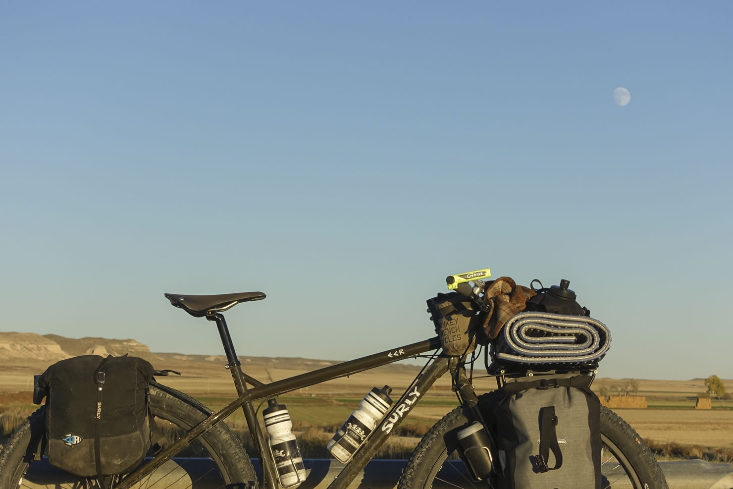
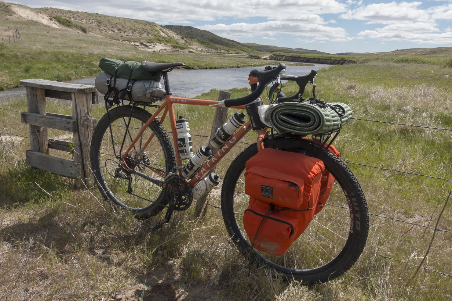
- Bike Choice: While during optimal conditions a 29” rigid bike is probably an excellent choice, our overall recommendation for this route is a plus size bike. The 3” tire will help you float over some of the more sandy sections in the Sandhills, without sacrificing speed in the hard pack dirt and gravel sections in the Pine Ridge.
- Planning around rain: Rain will affect the route in two ways. First, the soil in the first half of the route turns to a “peanut butter” consistency when they are soaked. But the good news is that they dry extremely quickly. Be mindful of this while planning for weather, and if there is torrential rain, prepare to either sit it out for a bit, or ride in the grass along side of the road. Second, rain will help you in the Sandhills. The more water content, the firmer the sand double tracks will be. Recent rain is going to be helpful during the second half of the route.
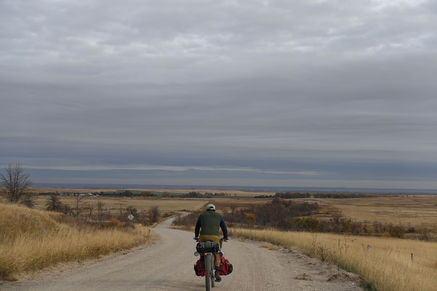
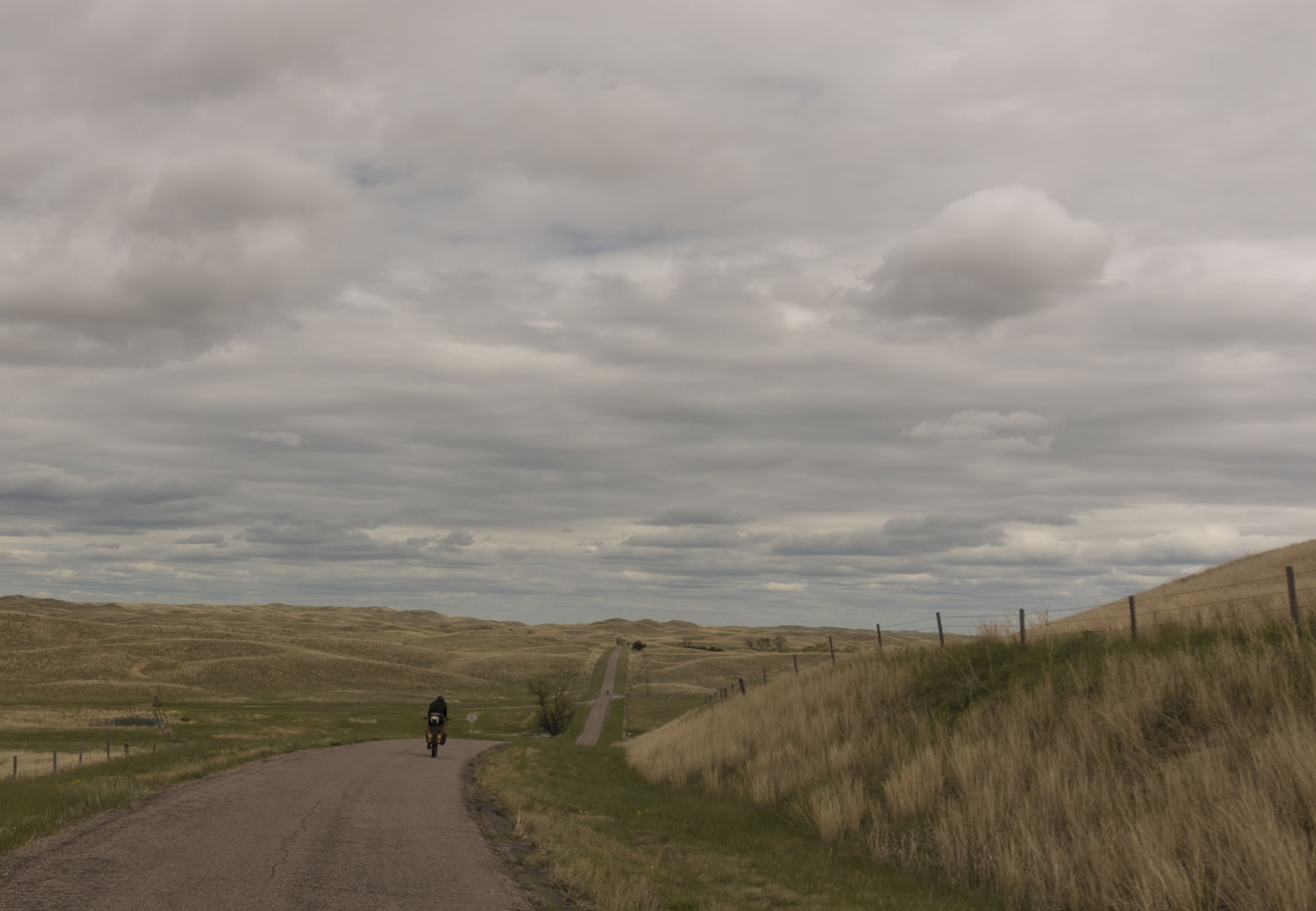
- We recommend doing the route in 6-9 days. It can be attempted in less, but this gives you a reasonable amount of time to set up camp, hike around, and take in some of the spectacular areas that you will pass through. Depending on wind conditions (which generally prevail from the North and West), your daily mileage can fluctuate quite a bit: there’s not much stopping it on the Great Plains.
- Wild camping is available throughout the route. Please respect private property and leave no trace.
- Some of our favorite camps are marked on the GPS map. In particular, we love the spot around mile 110 that overlooks Toadstool, and the forest service campground around mile 185.
- Much of the route passes through National grasslands and forests where dispersed camping is allowed.
- The longest stretch without water is a 40 mile stretch from Morrill, Nebraska until you cross over the Niobrara River. The GPS route has some of the more major water sources marked, but you will cross over numerous small spring fed springs in the Pine Ridge, and once you enter the Sandhills region there are numerous windmills pumping freshwater into cattle tanks. With the exception of the spring at Coffee Park, and the windmills in the Sandhills, it’s a good idea to filter everything.
- Your best food resupply will be in Crawford, Nebraska, at around mile 132, where there is a great grocery store, and a few restaurants. There’s also a grocery store in Hay Springs, Nebraska at mile 200.
- Between mile 287 and 288, the double track disappears nearly completely. Follow the gpx route until the double track reemerges. There are notes on the gpx file at the point where the track disappears as well as where it reemerges.


Terms of Use: As with each bikepacking route guide published on BIKEPACKING.com, should you choose to cycle this route, do so at your own risk. Prior to setting out check current local weather, conditions, and land/road closures. While riding, obey all public and private land use restrictions and rules, carry proper safety and navigational equipment, and of course, follow the #leavenotrace guidelines. The information found herein is simply a planning resource to be used as a point of inspiration in conjunction with your own due-diligence. In spite of the fact that this route, associated GPS track (GPX and maps), and all route guidelines were prepared under diligent research by the specified contributor and/or contributors, the accuracy of such and judgement of the author is not guaranteed. BIKEPACKING.com LLC, its partners, associates, and contributors are in no way liable for personal injury, damage to personal property, or any other such situation that might happen to individual riders cycling or following this route.
Please keep the conversation civil, constructive, and inclusive, or your comment will be removed.