


The Lower Sunshine Coast Bikepacking Route
Distance
64 Mi.
(103 KM)Days
3
% Unpaved
95%
% Singletrack
75%
% Rideable (time)
100%
Total Ascent
8,889'
(2,709 M)High Point
2,143'
(653 M)Difficulty (1-10)
7?
- 9Climbing Scale Very Strenuous139 FT/MI (26 M/KM)
- -Technical Difficulty
- -Physical Demand
- -Resupply & Logistics
Contributed By
Skyler Des Roches
Contributing Editor
Updated April 2026 (originally published July 2015)
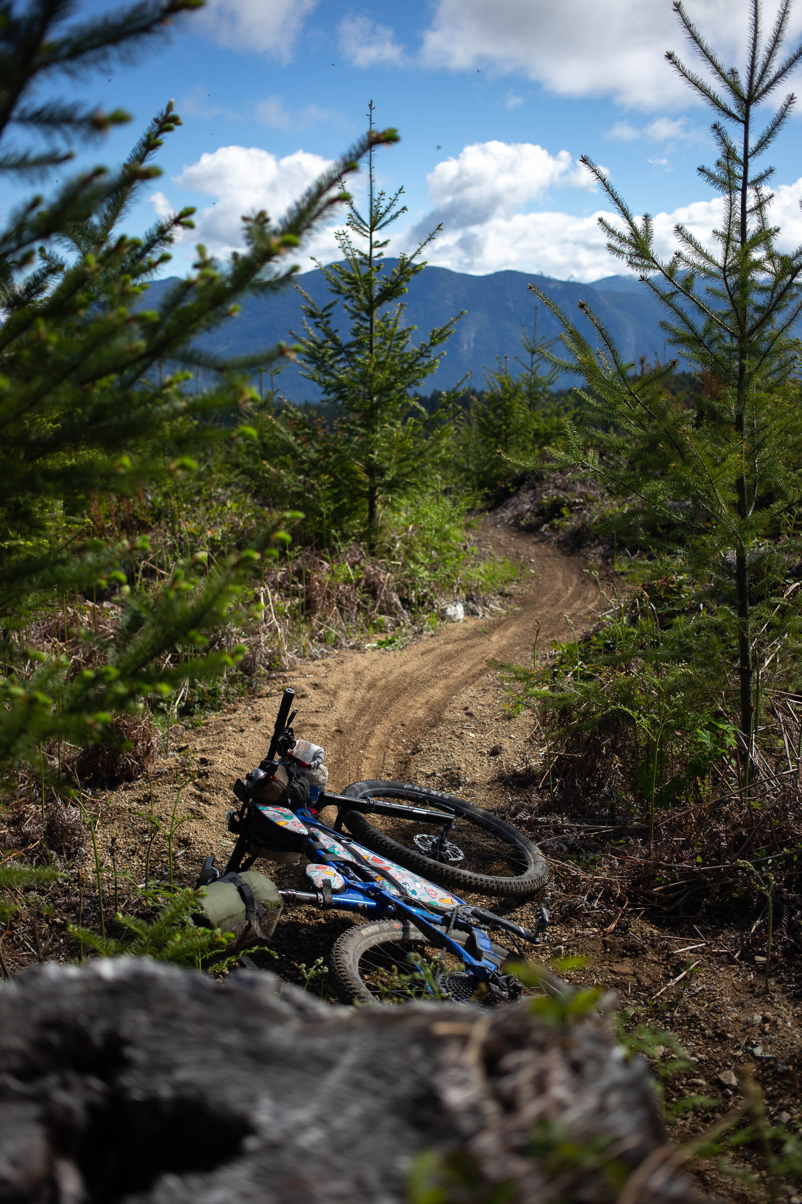
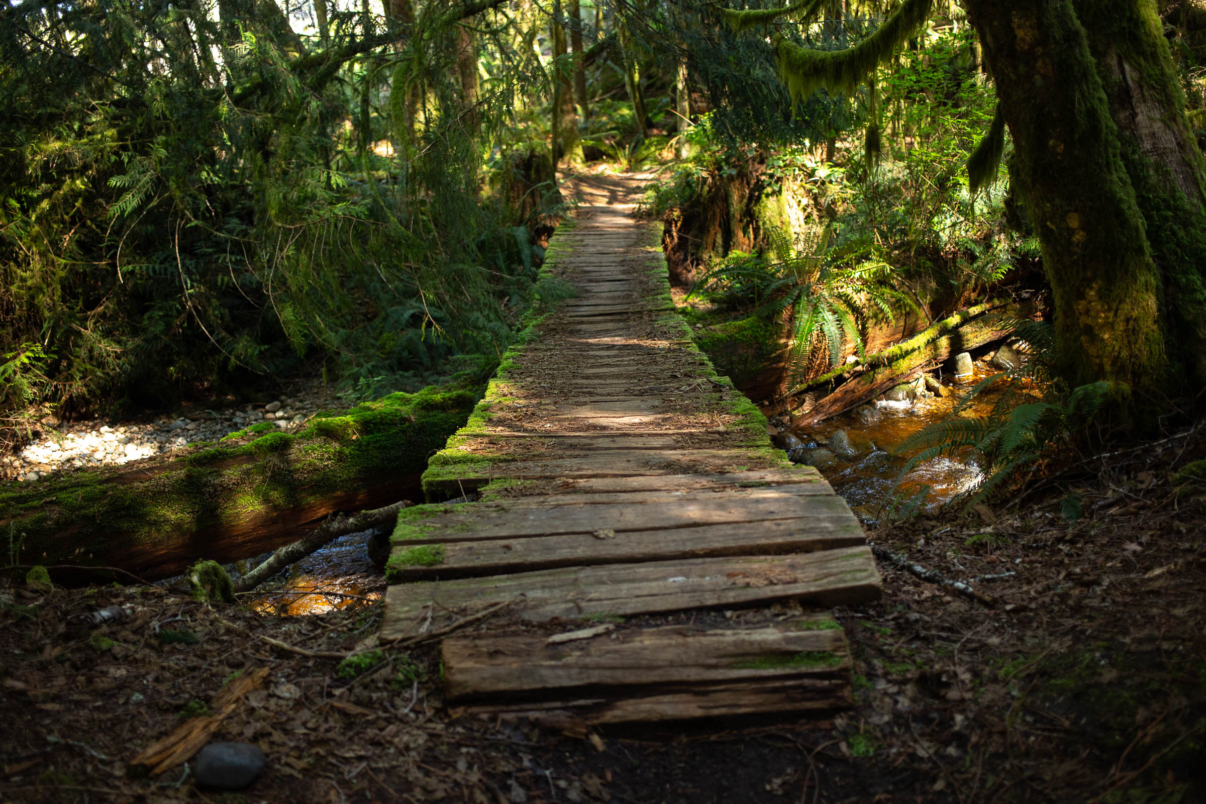
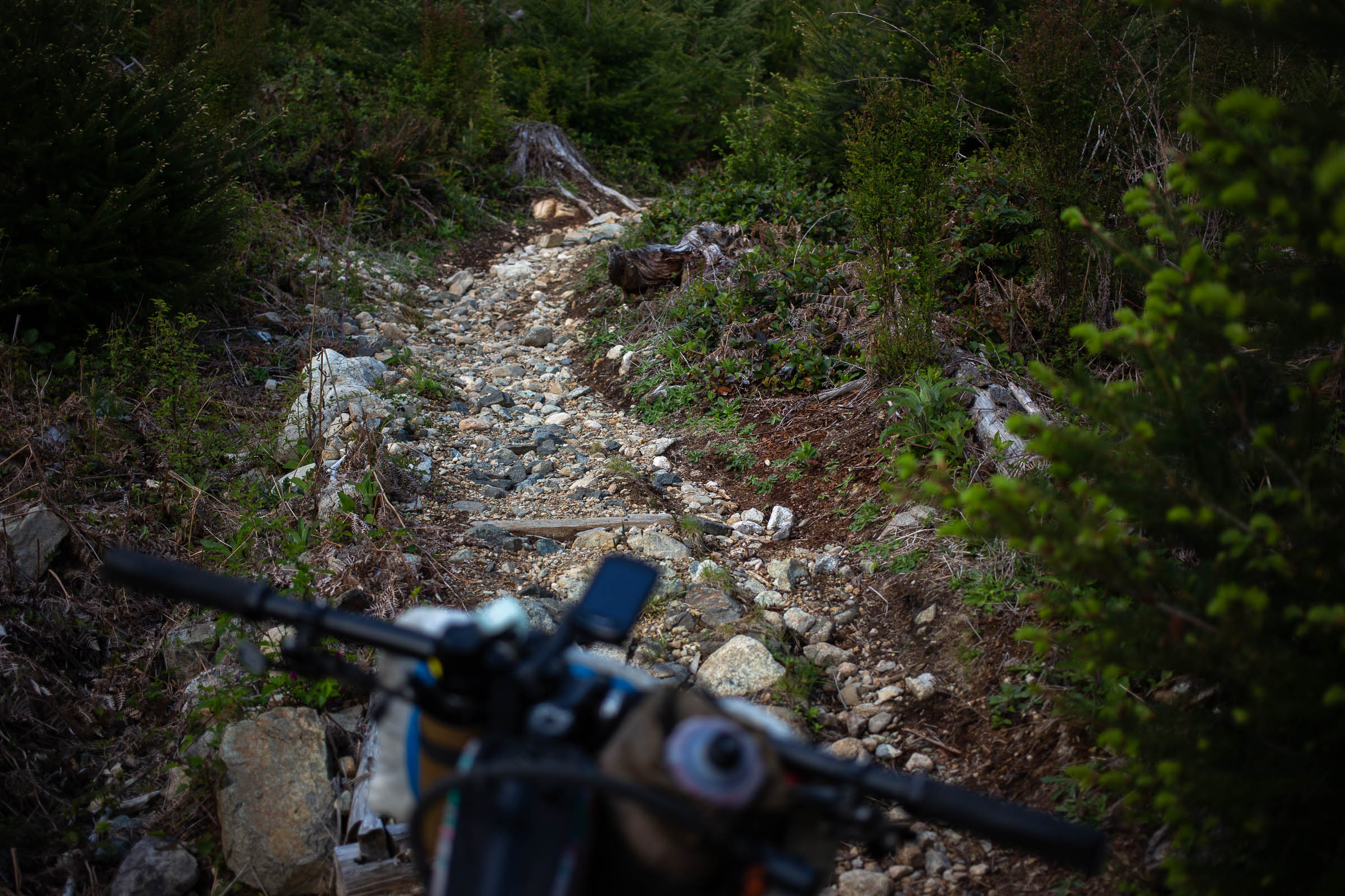
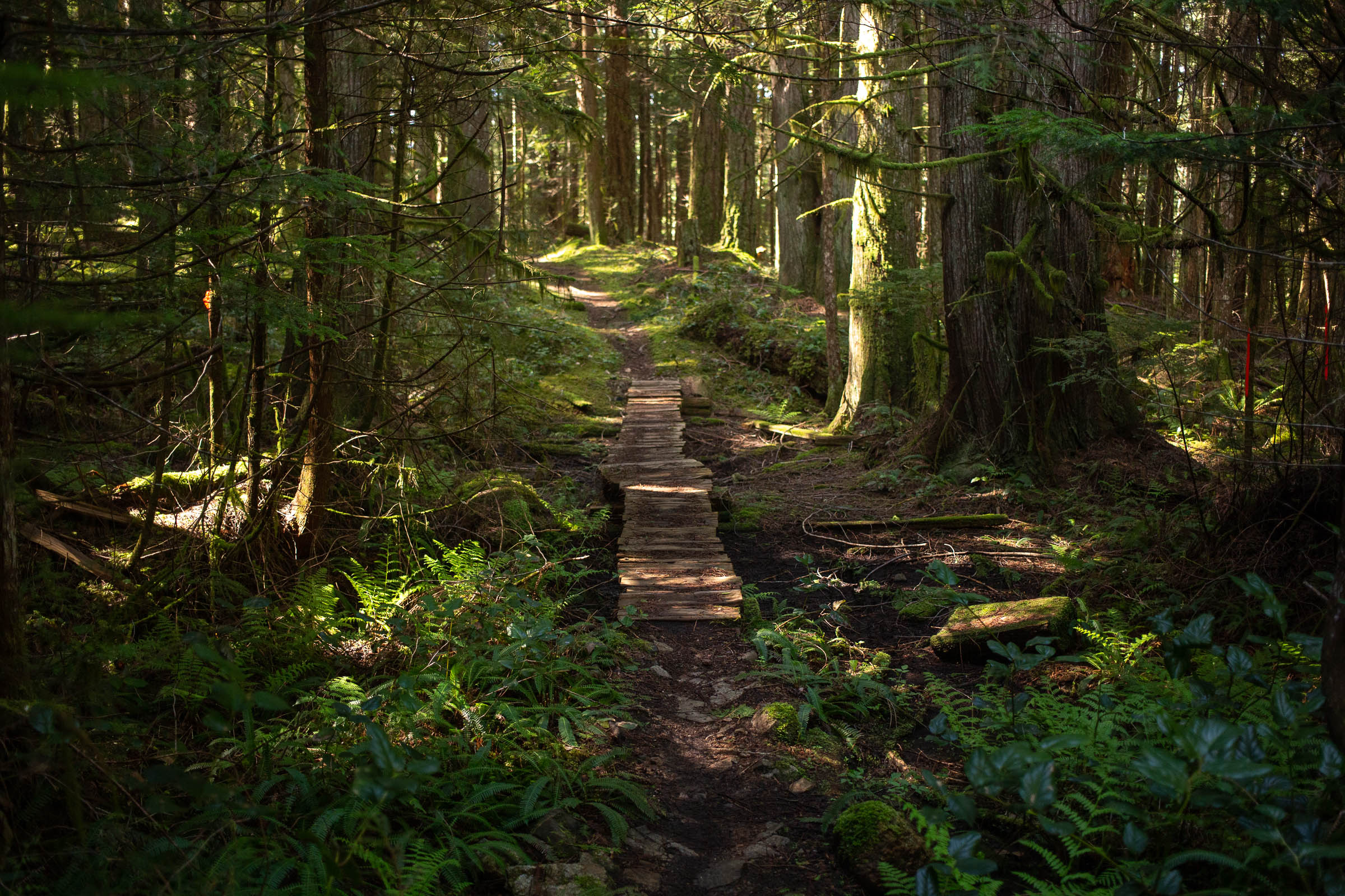
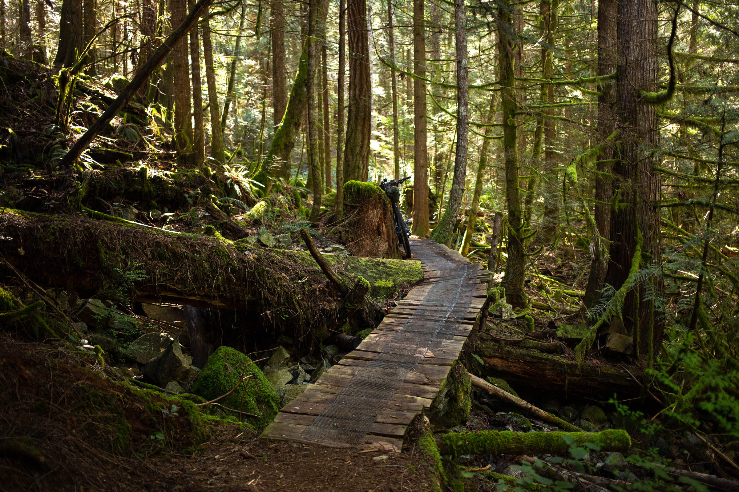
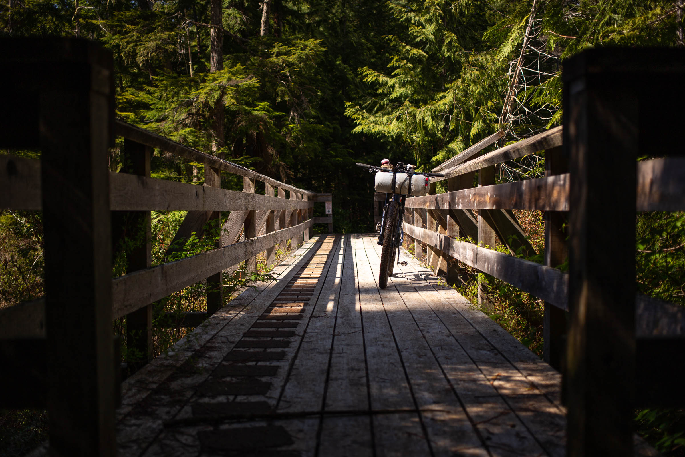
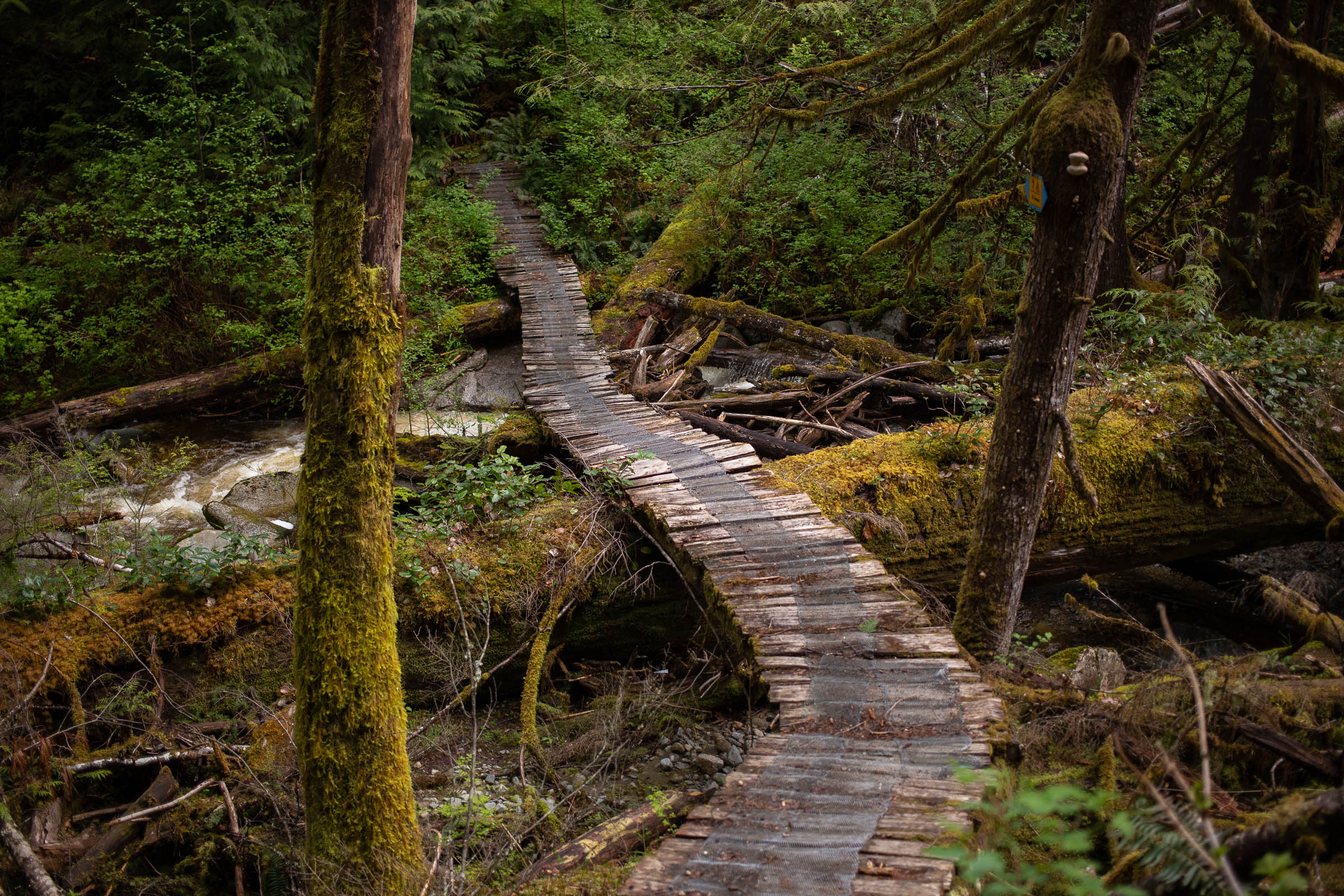
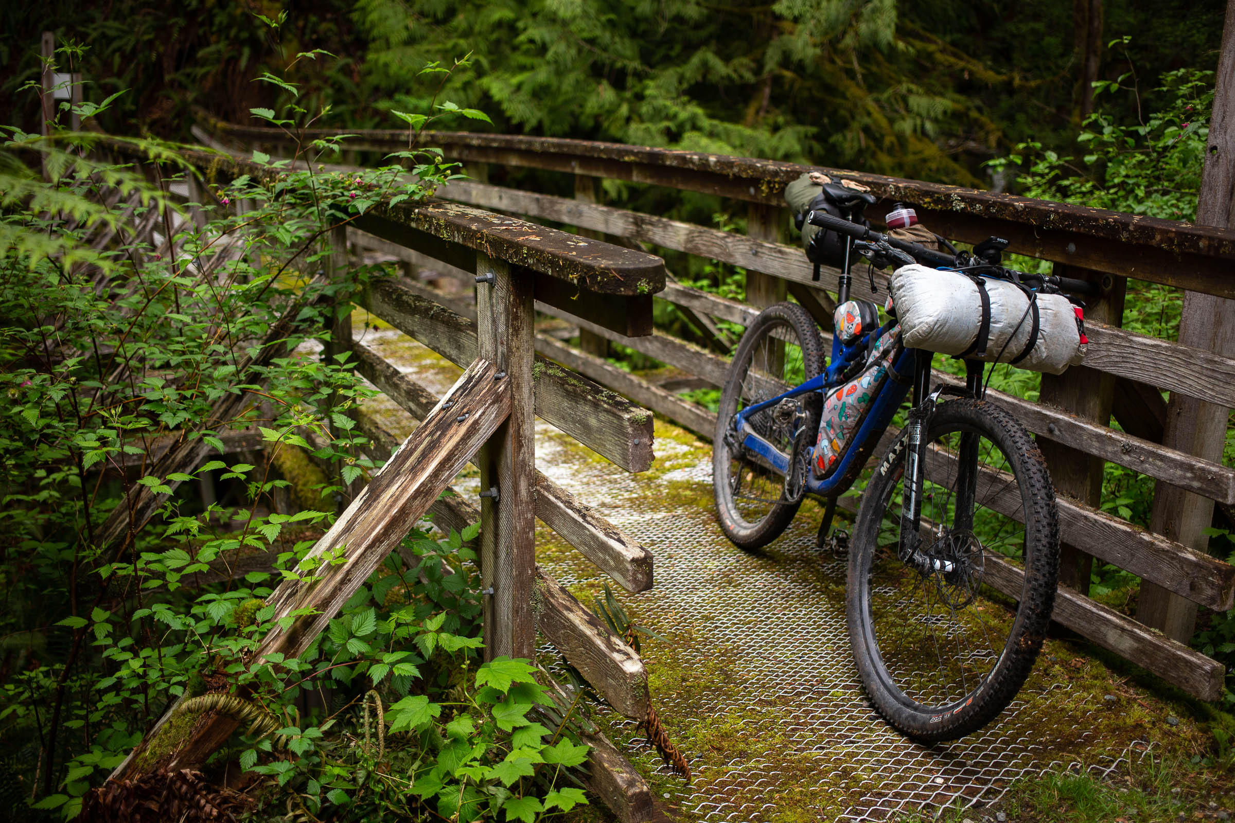
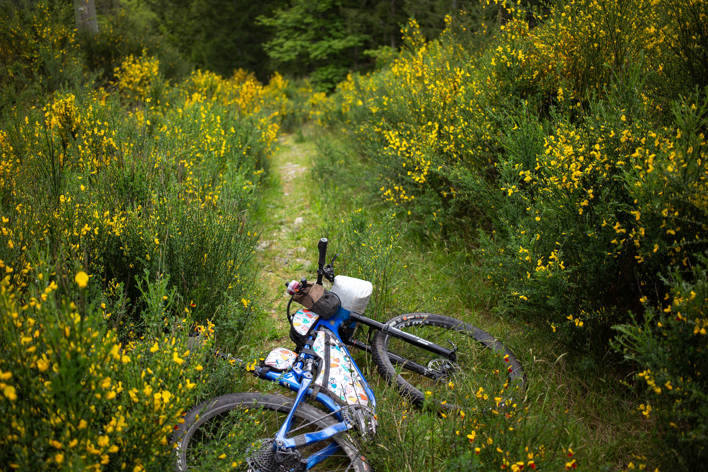
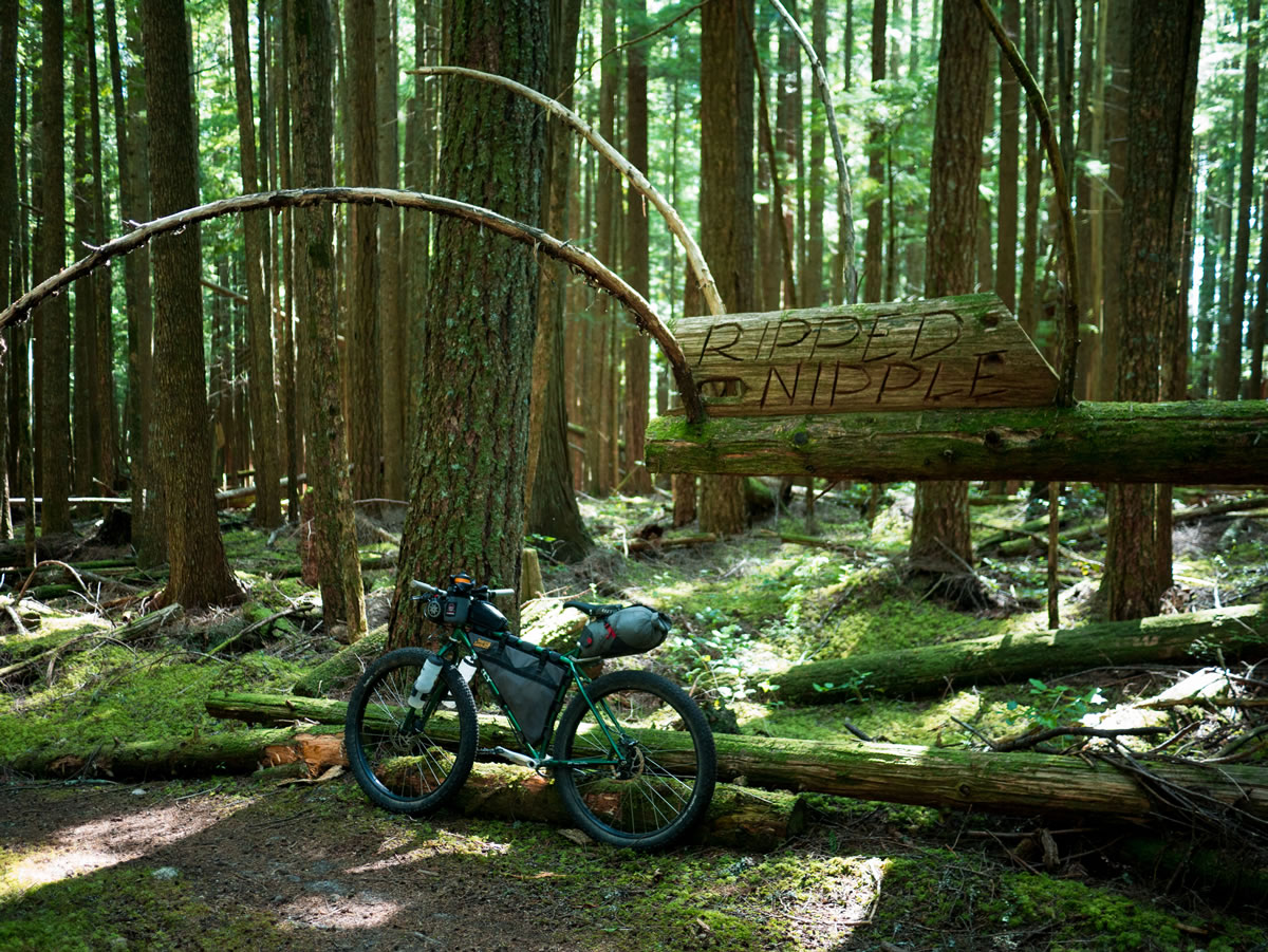
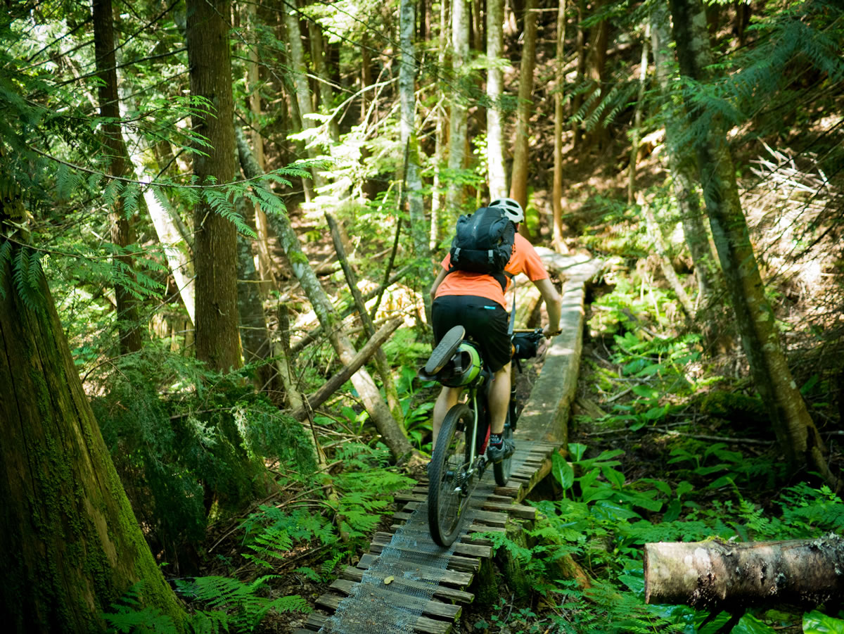
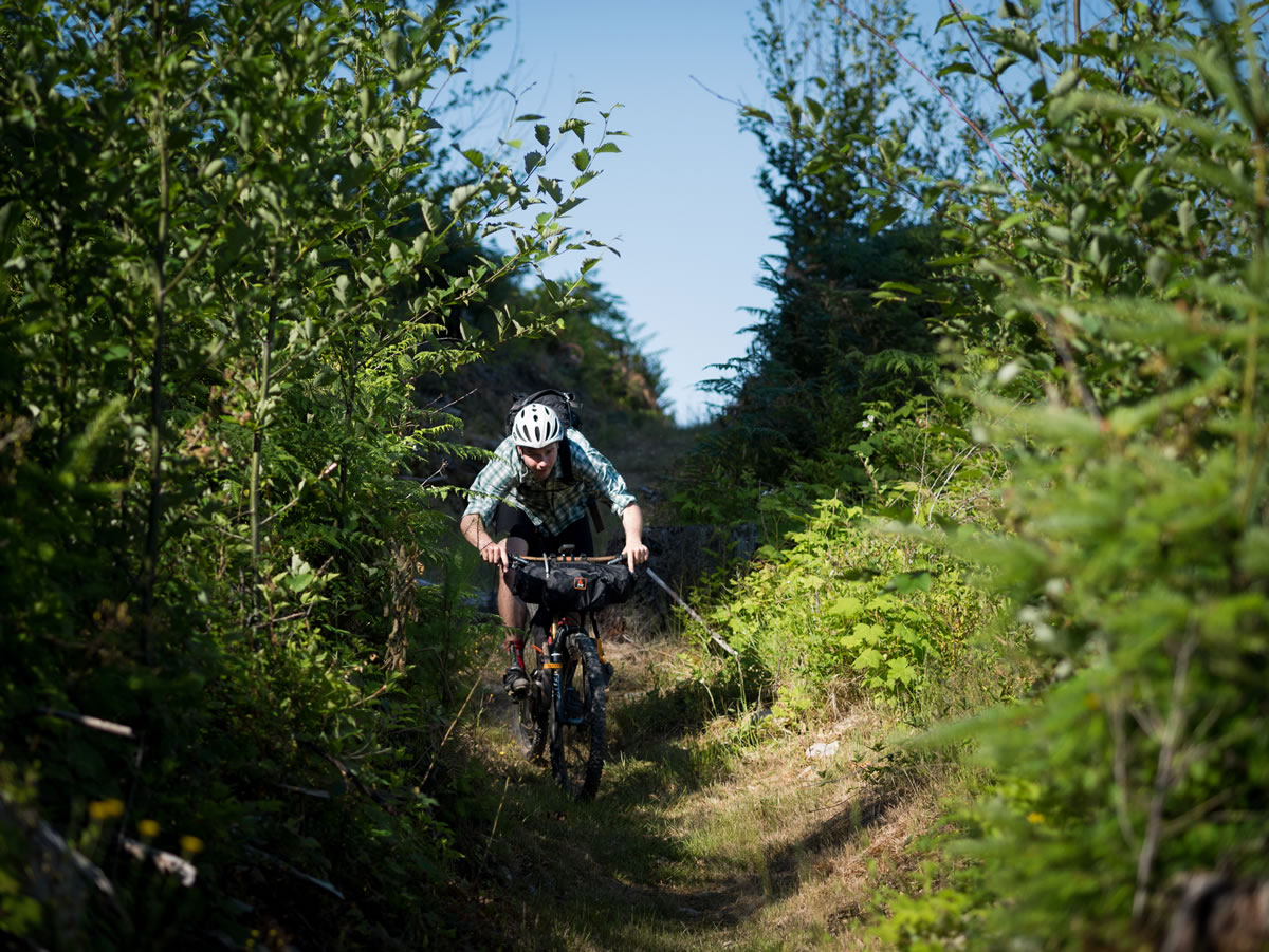
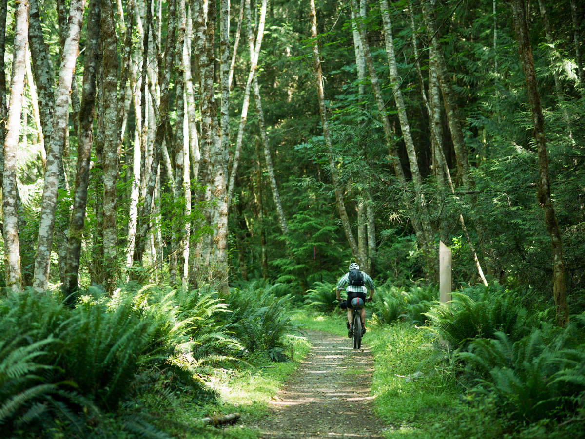
This route loosely follows Stages 3 and 4 of the world-famous BC Bike Race, for that same “ultimate singletrack experience” without the mayhem and expense of an organized event. There’s not really another bikepacking route that we’re aware of with as extensive wood-work stunts and purpose-built trails. The result is a two or three day ride consisting of great mountain biking through thick forests. The route passes through the town of Sechelt at around half-way, making resupply and logistics simple. The riding, however, is not easy. This is proper, technical mountain biking. Even so, the Lower Sunshine Coast Bikepacking Route is a great intro to bikepacking for those coming from a mountain bike background interested in trying a one or two night ride.
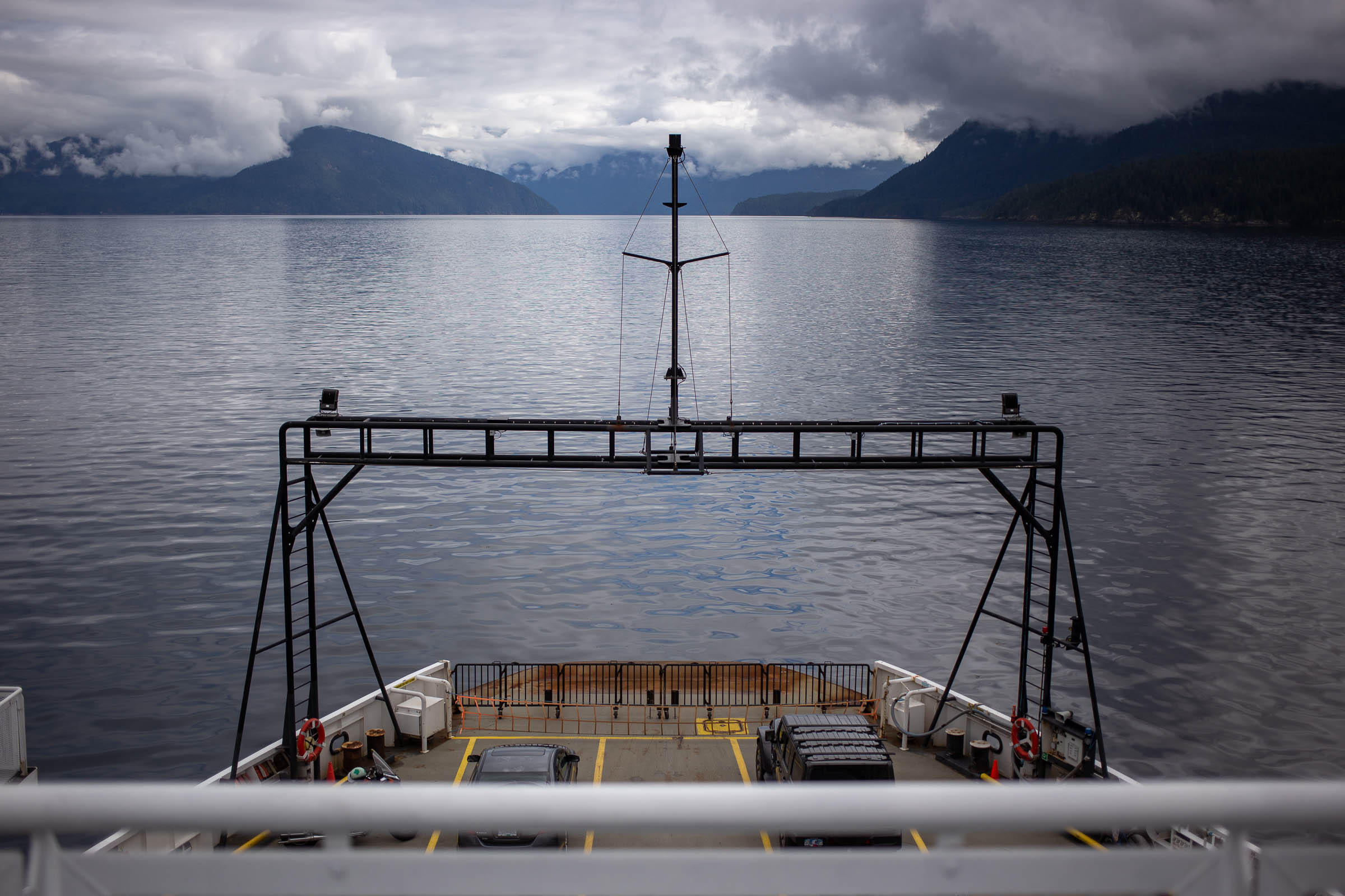
As of July 2021, the The Lower Sunshine Coast Bikepacking Route runs north to south, starting in Earls Cove and ending in Langdale. While this means catching a ride or shuttle to the start of the route is necessary, the result is a more flowy and nearly 100% rideable route that will have you grinning from ear to ear, all weekend long.
Difficulty
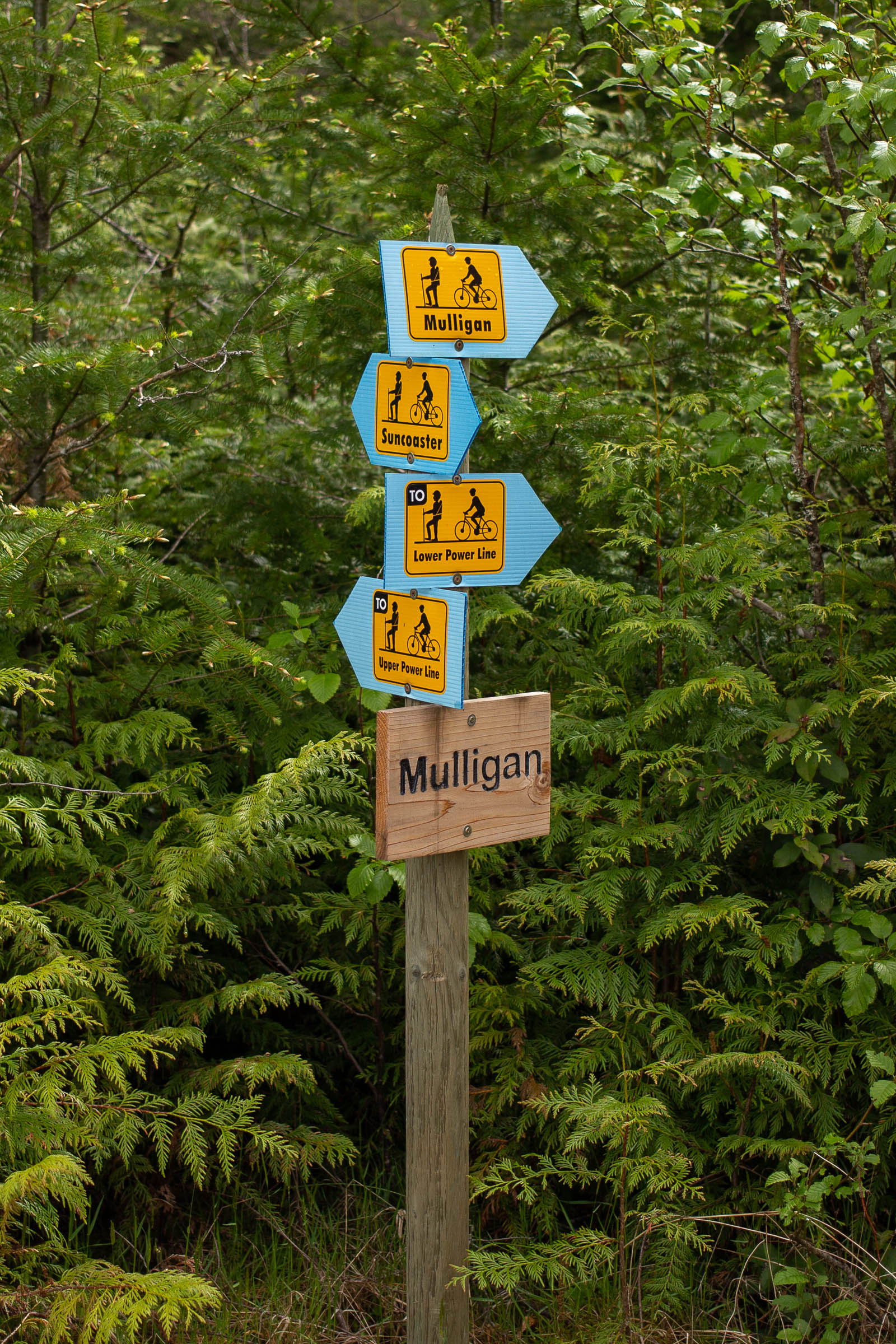
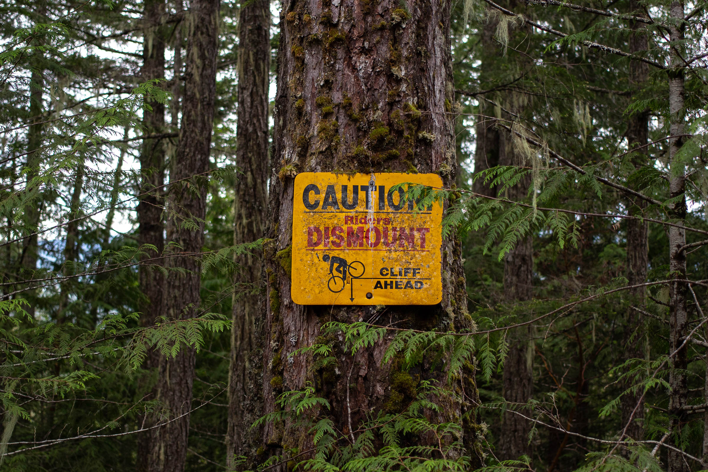
Due to the percentage of blue and black singletrack, The Lower Sunshine Coast Bikepacking Route has been rated with a 7 out of 10 difficulty rating. Experienced coastal mountain bikers will have no problem navigating the flowy trails, but less-experienced riders may enjoy the route more if spread out over a long weekend. On the fly navigation is also necessary to enjoy the route, as there are countless turns and optional trails when navigating the trail networks around Sechelt and Roberts Creek.
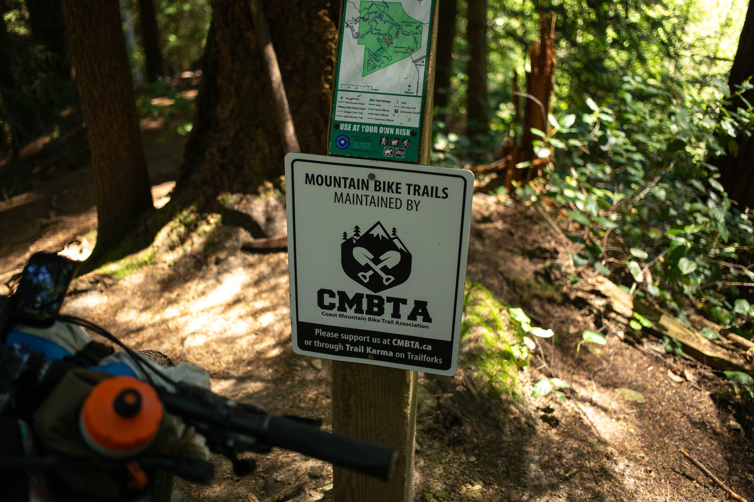
Route Development: The Lower Sunshine Coast Bikepacking Route was originally published as a south to north route, but with the help of the Coast Mountain Bike Trail Association, Ian Hall of the Sunshine Coast Regional District, and Miles’ scouting mission, the route was updated for more ride time, better trails, and 4% increased stoke. Find additional photos by our own Miles Arbour in the gallery below as well.


Submit Route Alert
As the leading creator and publisher of bikepacking routes, BIKEPACKING.com endeavors to maintain, improve, and advocate for our growing network of bikepacking routes all over the world. As such, our editorial team, route creators, and Route Stewards serve as mediators for route improvements and opportunities for connectivity, conservation, and community growth around these routes. To facilitate these efforts, we rely on our Bikepacking Collective and the greater bikepacking community to call attention to critical issues and opportunities that are discovered while riding these routes. If you have a vital issue or opportunity regarding this route that pertains to one of the subjects below, please let us know:
Highlights
Must Know
Camping
Food/H2O
Resources
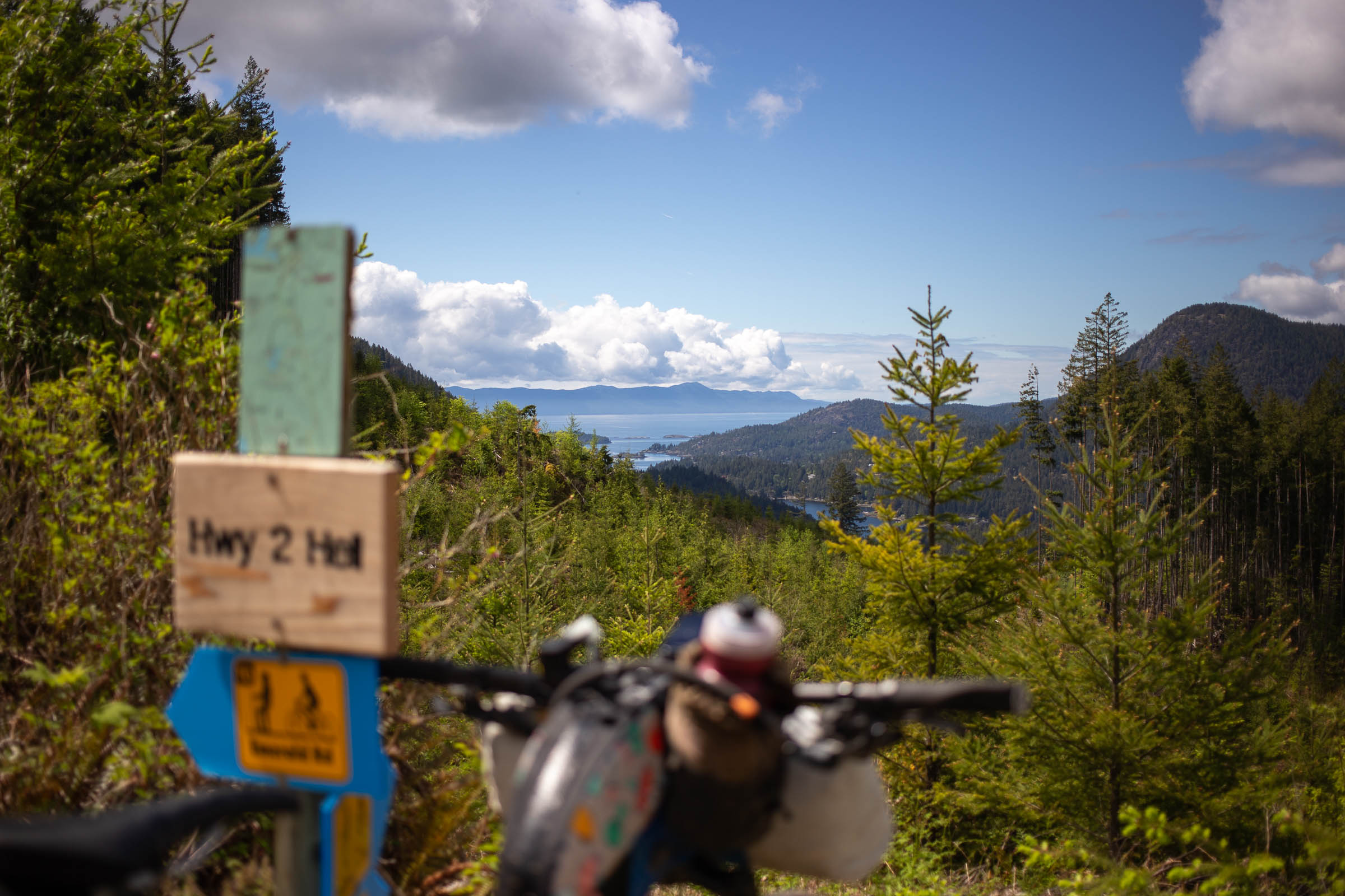
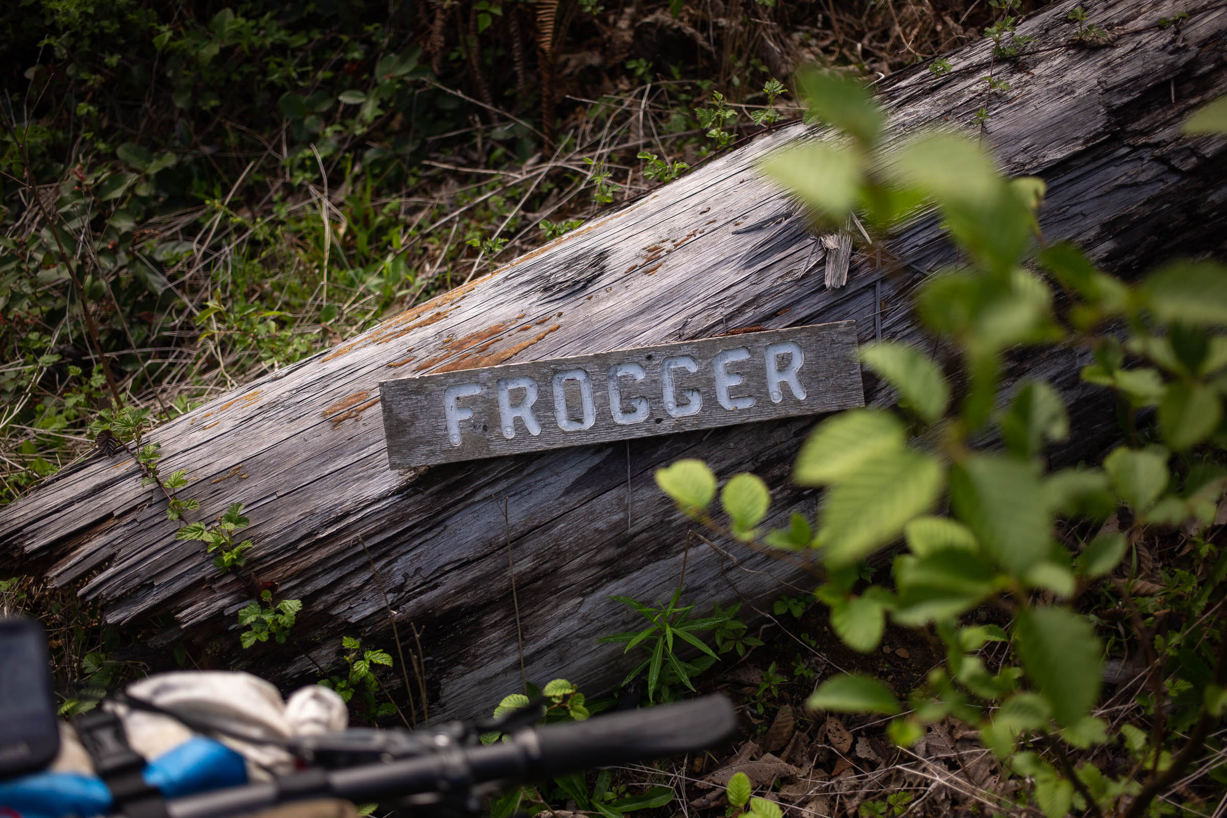
- Classic ‘north shore’ style riding on trails like VFR, Eldorado, and Hwy 102 (it’s a trail name, not a highway).
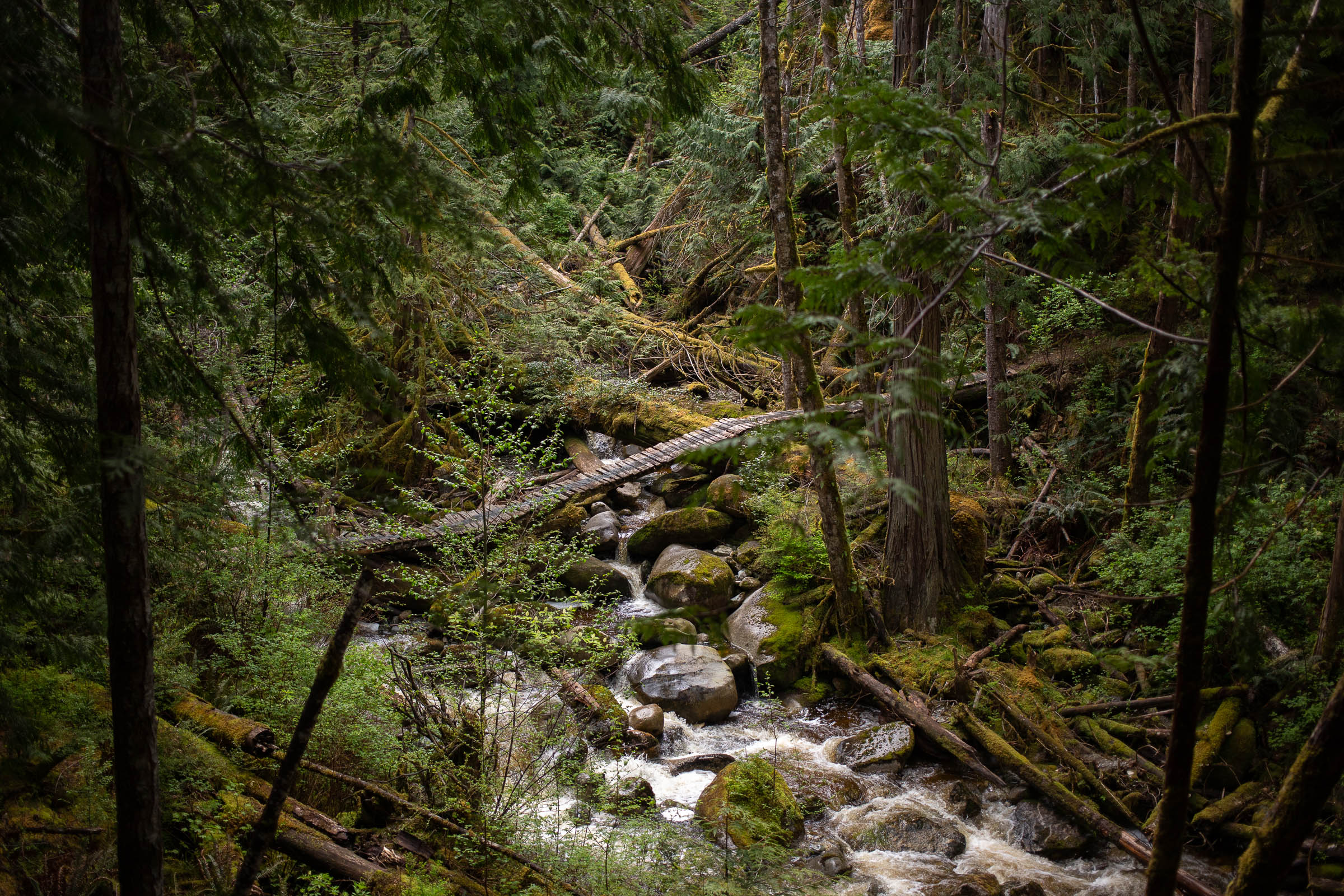
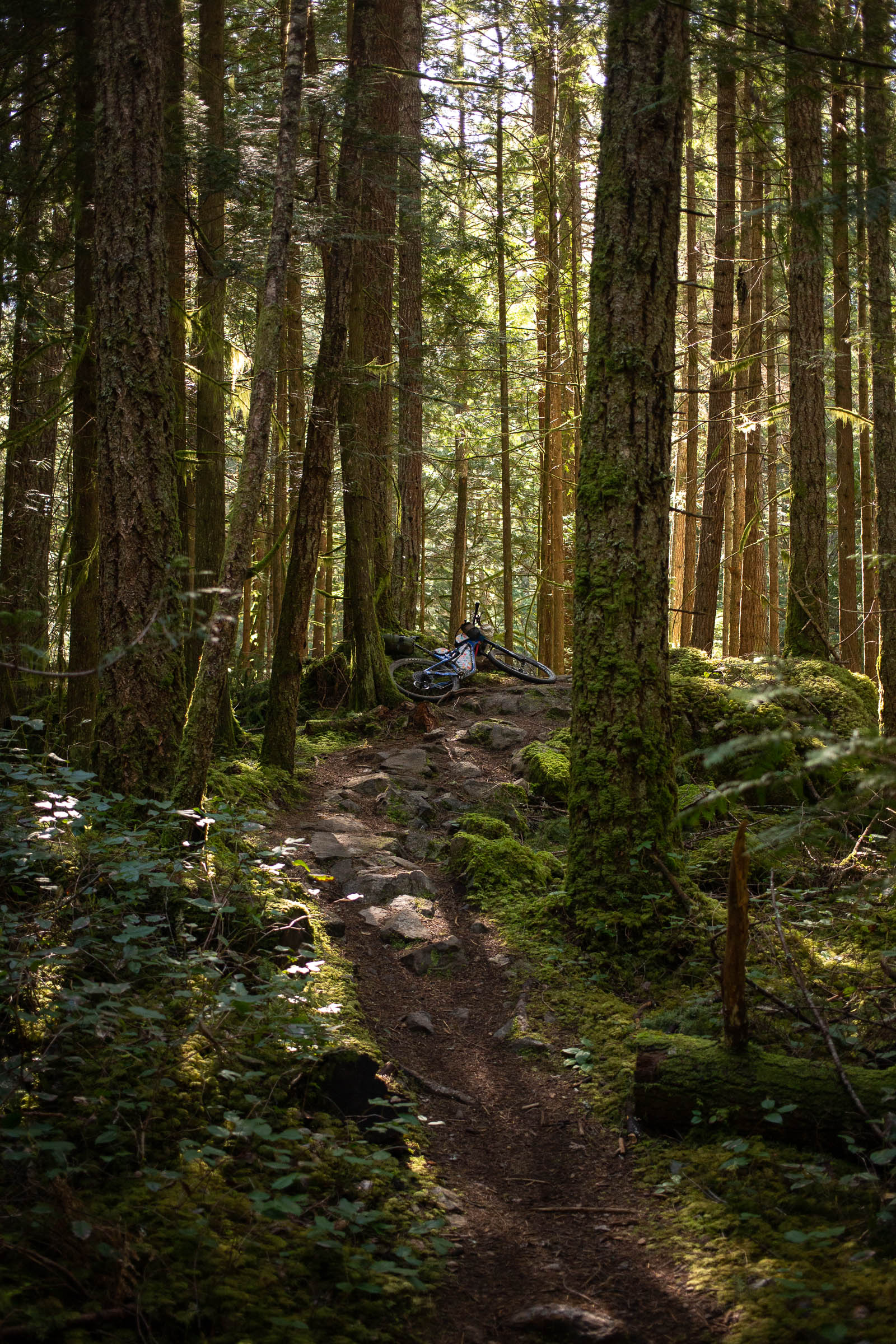
- The type of loamy, organic trails that made BC a famous mountain biking destination.
- Mach Chicken in the B&K trails. Hold onto your dangle mug and get ready to fly.
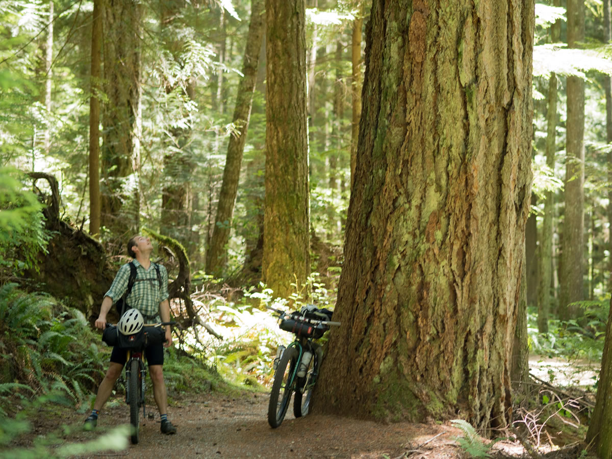
- Riding past huge, old-growth Douglas-fir trees on Sidewinder trail.
- Swimming in Chapman Creek and Crowston Lake.
- Coffee and/or brunch in Sechelt.
- Ideal bike: A mountain bike with front suspension or plus-sized tires should be considered the minimum to properly enjoy the route. A lightly loaded full-suspension mountain bike would also make a great option. This is not a gravel bike route.
- When to ride: The best times to ride the route are in the spring spring, summer, and fall. Lots of the route is rideable in the winter, but there is always a chance of snow or lots of rain—which may not be ideal.
- Although wet in the winter, the route can be very dry in the summer. Total bans on campfires are common in the summer and fall. Check local fire regulations to avoid a hefty fine and to help manage fire risk.
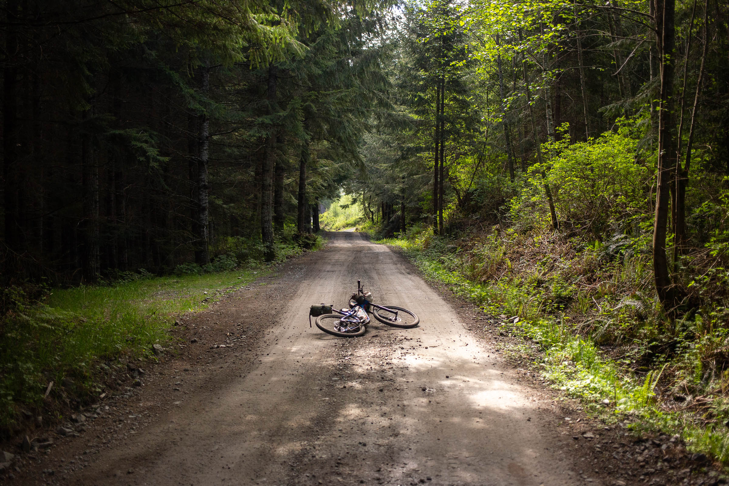
- Logging activity can cause temporary trail detours. Watch for signs and listen for trucks.
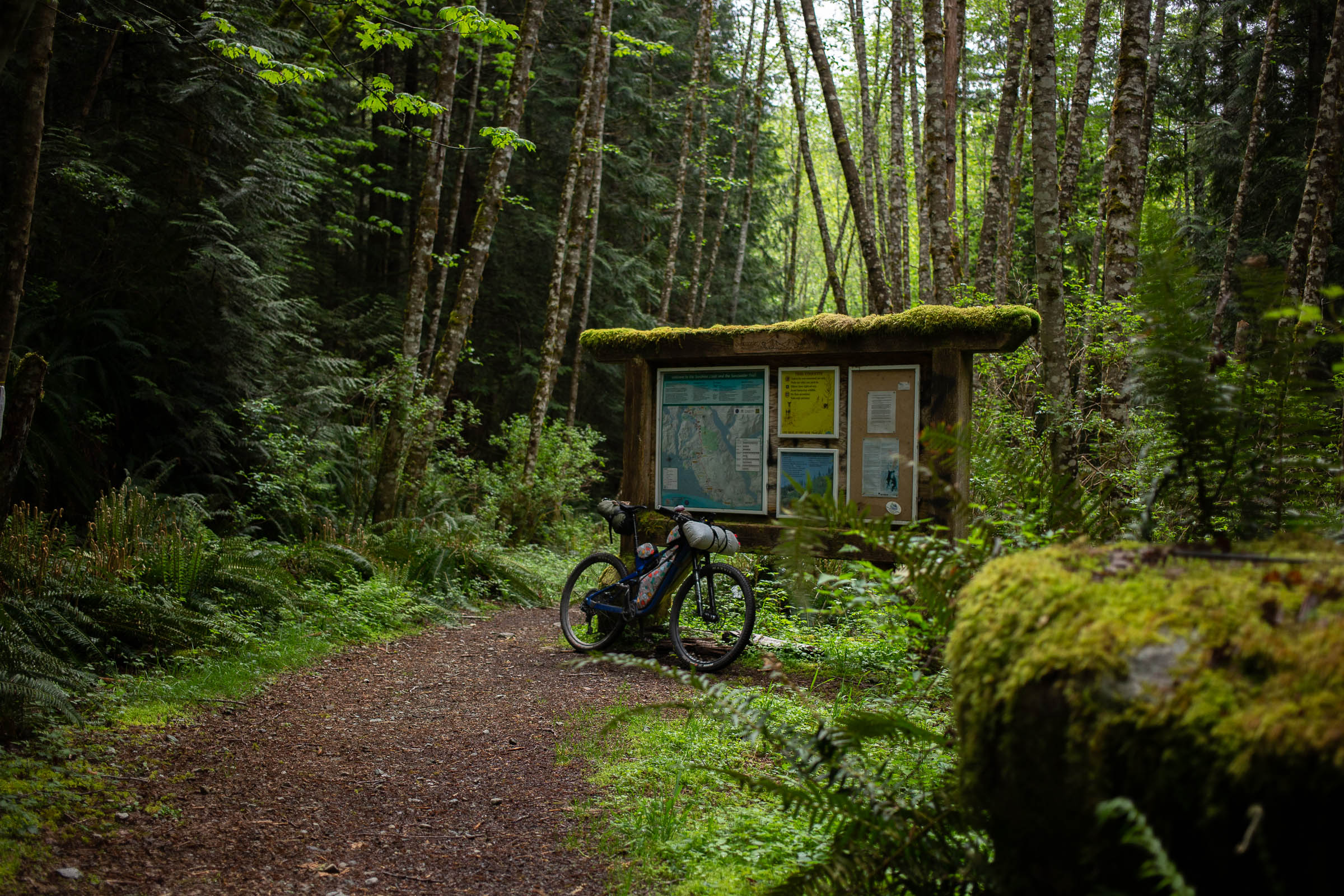
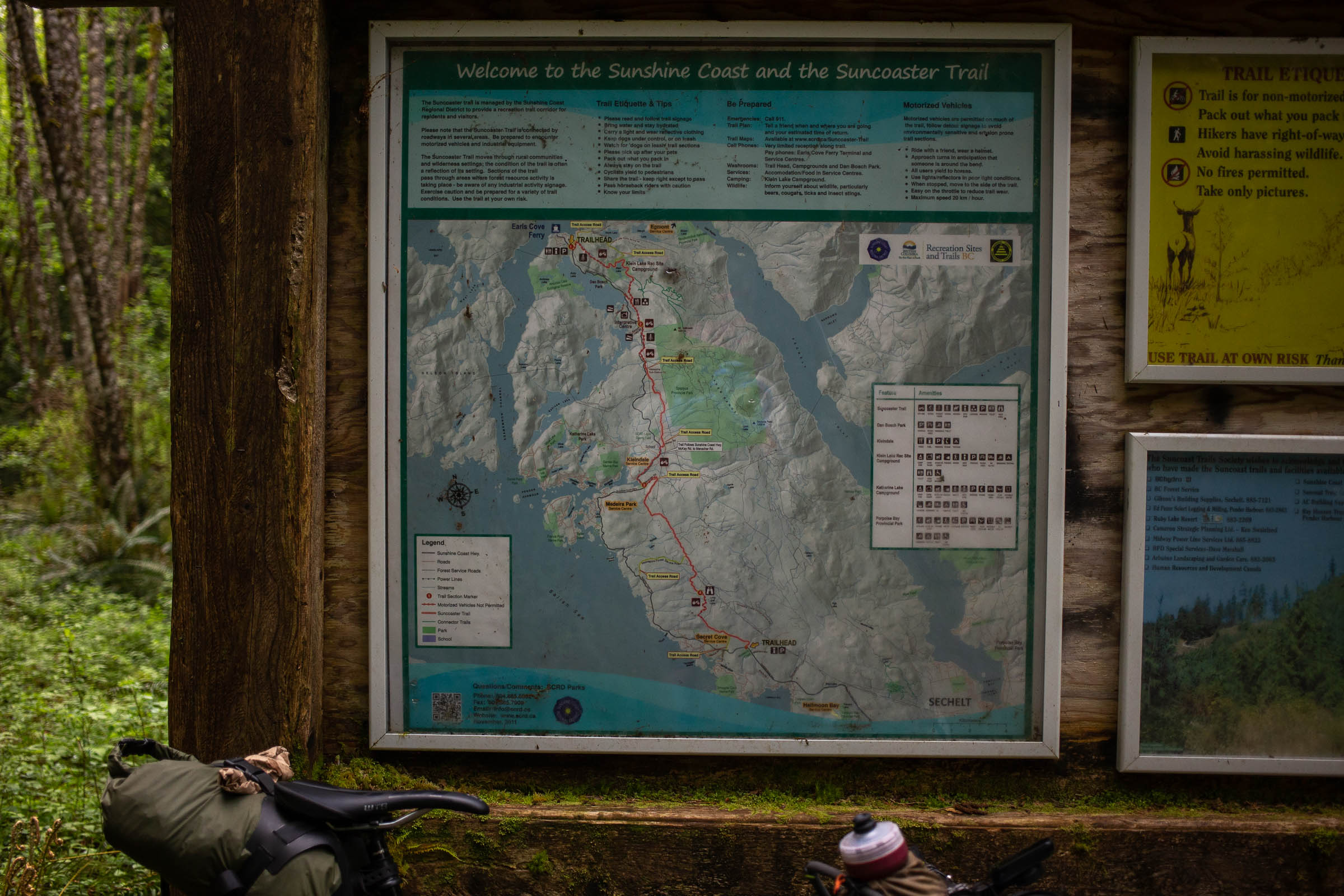
- You can find GPS files of the BC Bike Race stages, as well a many trails in the Lower Sunshine Coast region on Trailforks.com.
- There is no GPS basemap that includes the full trail network, but the Ibicus (free) Canadian Topo map, Garmin Topo Canada, or the Backroads Mapbook GPS Map, will provide topographic info, lake locations, and many creeks. Use Trailforks to build an overlay of the mountain bike trails.
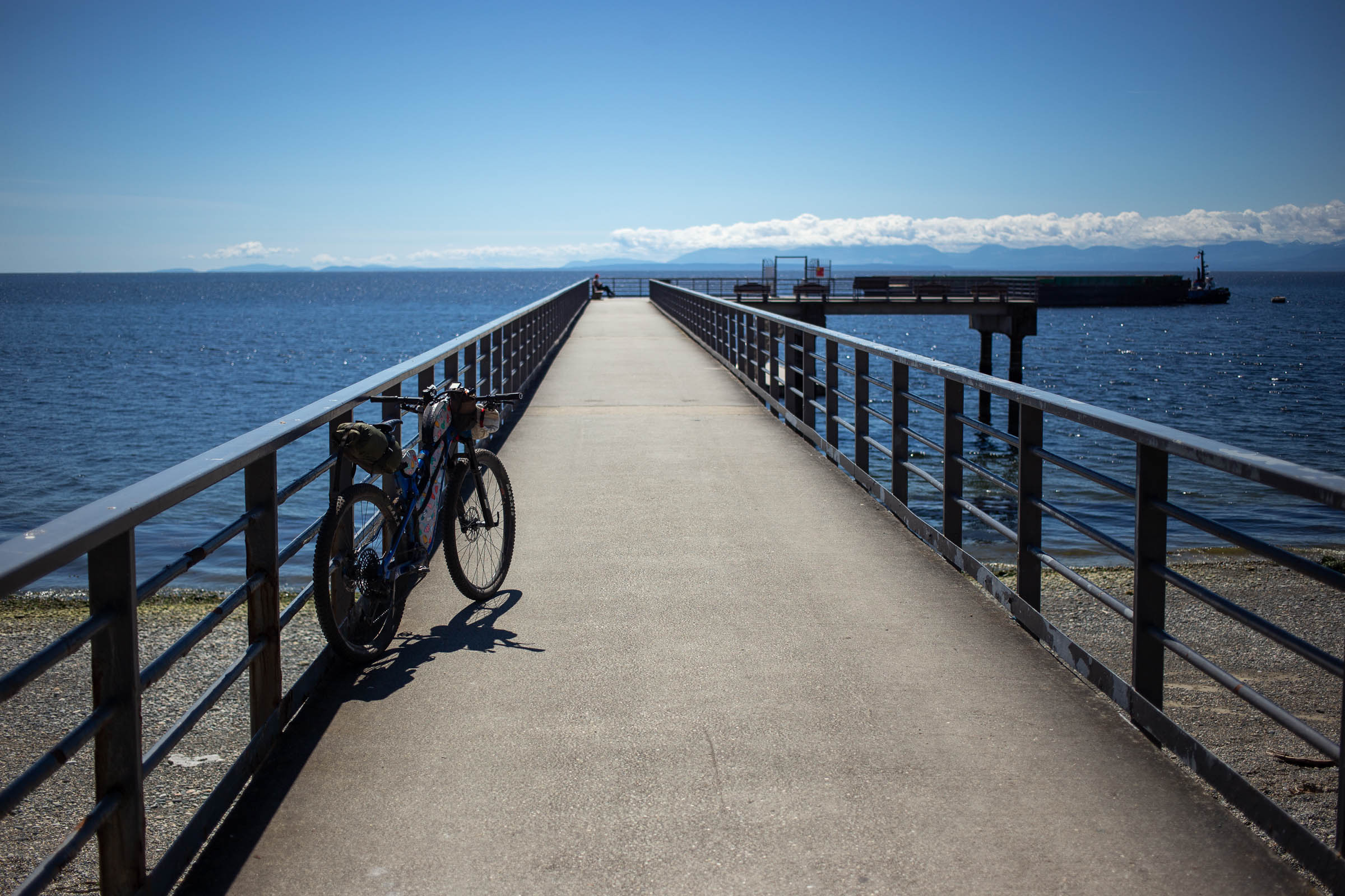
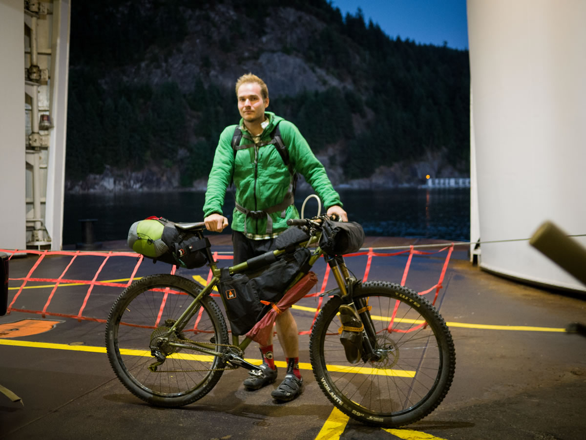
- CoastalRides.ca has drivers equipped with bike racks, when requested, to shuttle riders from Langdale to Earls Cove. Download the app to learn more.
- There is no public bus service to Earls Cove at the north end of this route. Once a day, the Sunshine Coast Connector travels from Langdale to Powell River, with a stop at the Earls Cove ferry terminal. The bus is equipped to hold two bikes, but reserving ahead of time is a must due to limited space. See Additional Resources section for more info.
- Otherwise, take the Sunshine Coast Transit from the Langdale ferry terminal to Halfmoon Bay ($2) and then ride 39km north on Highway 101 to Earls Cove. It’s a beautiful road and often quiet, but lacks shoulders in some areas.
- Consider making a donation to the Coast Mountain Bike Trail Association, as they are responsible for trail maintenance, advocacy, and development on the majroity of the route.
- Wild camping is possible a few kilometers outside of towns.
- There are hotels and established campgrounds in Sechelt, which is at about the halfway mark.
- There is an excellent established Forest Service campground at Klein Lake, just south of Earl’s Cove, and another at Homesite Creek Campground. Popular options just off-route include Smugglers Cove Marine Provincial Park (walk-in camping), Porpoise Bay Provincial Park (dedicated camping area for cyclists) and Roberts Creek Provincial Park.
- This ride can be completed with no camping (or cooking) at all, if you opt to complete it in two days, staying and dining in Sechelt.
- Sechelt offers an array of supermakets, liquor stores, and restaurants at about the halfway mark.
- A small cafe-restaurant at Earls Cove offers cold drinks and nice meals at the northern terminus of this route.
- If you have time to kill before catching the ferry back to Vancouver from Langdale, choose from some nice restaurants, breweries, and cideries in the quaint sea-side village of Gibsons Landing, a 5km from the ferry terminal. in the quaint sea-side village of Gibsons Landing, a 5km from the ferry terminal.
- There are groceries, general stores or pubs just off route in Madeira Park and Halfmoon Bay.


Terms of Use: As with each bikepacking route guide published on BIKEPACKING.com, should you choose to cycle this route, do so at your own risk. Prior to setting out check current local weather, conditions, and land/road closures. While riding, obey all public and private land use restrictions and rules, carry proper safety and navigational equipment, and of course, follow the #leavenotrace guidelines. The information found herein is simply a planning resource to be used as a point of inspiration in conjunction with your own due-diligence. In spite of the fact that this route, associated GPS track (GPX and maps), and all route guidelines were prepared under diligent research by the specified contributor and/or contributors, the accuracy of such and judgement of the author is not guaranteed. BIKEPACKING.com LLC, its partners, associates, and contributors are in no way liable for personal injury, damage to personal property, or any other such situation that might happen to individual riders cycling or following this route.
Please keep the conversation civil, constructive, and inclusive, or your comment will be removed.