


Bikepacking Ecuador: The Inca Trail
Distance
55 Mi.
(89 KM)Days
3
% Unpaved
100%
% Singletrack
30%
Total Ascent
11,048'
(3,367 M)High Point
14,430'
(4,398 M)Difficulty (1-10)
9?
- 10Climbing Scale Very Strenuous201 FT/MI (38 M/KM)
- -Technical Difficulty
- -Physical Demand
- -Resupply & Logistics
Contributed By
Joe Cruz
Contributing Editor
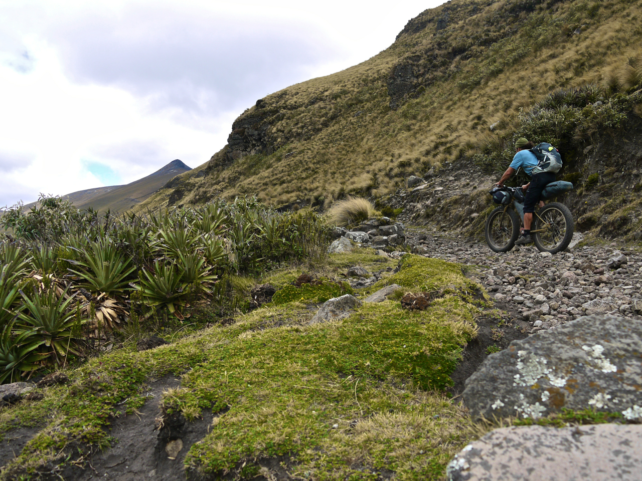
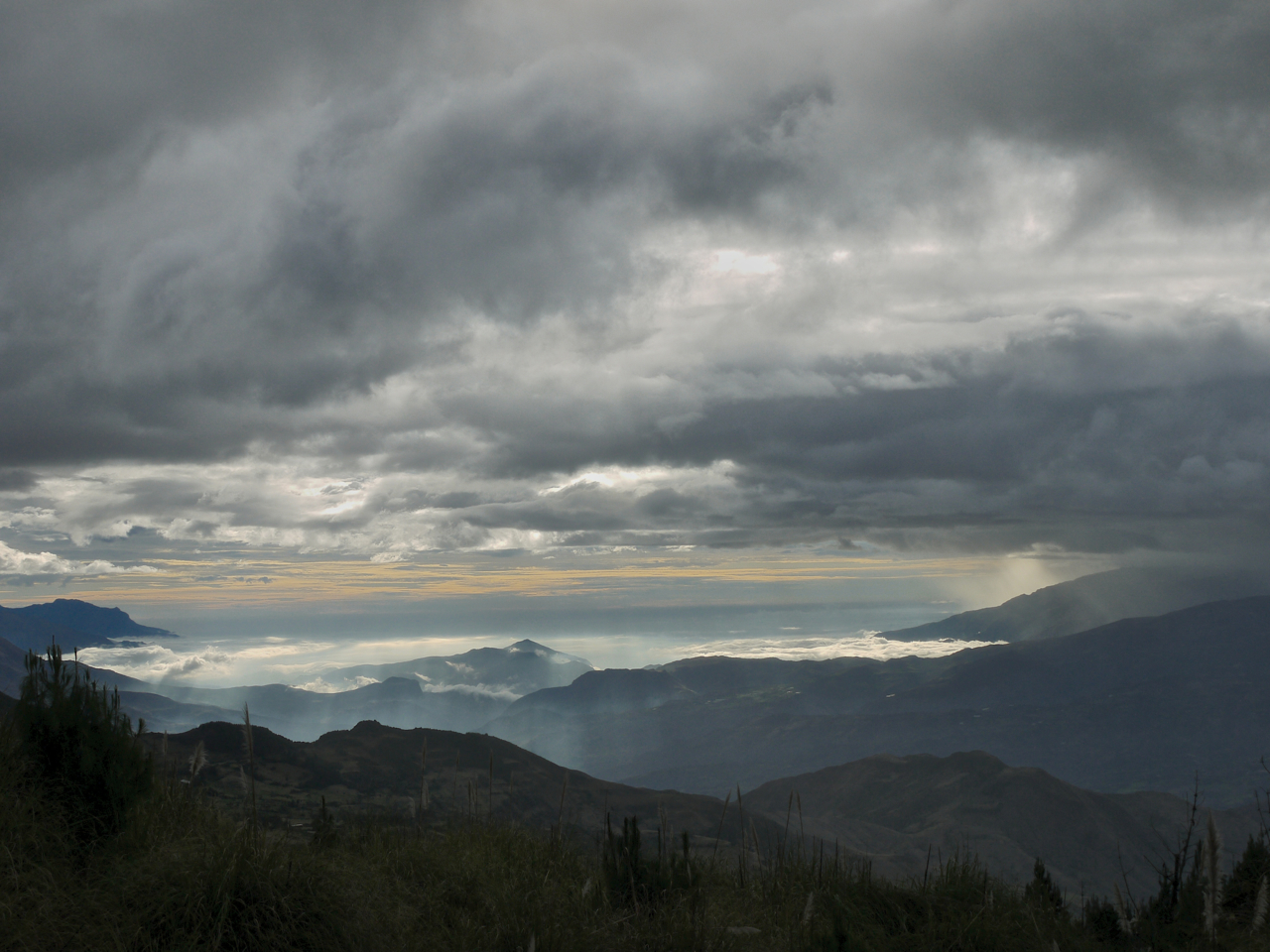
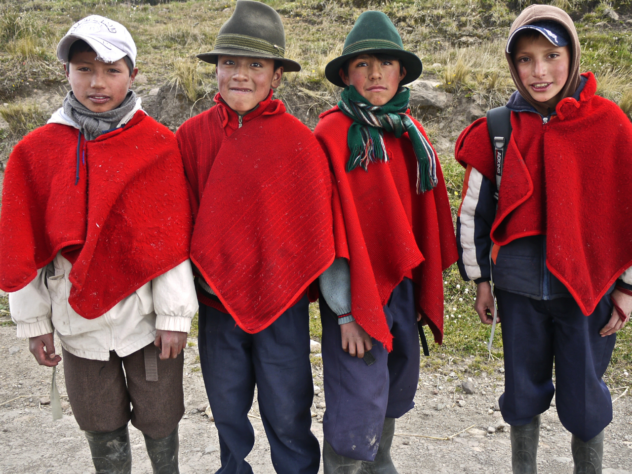
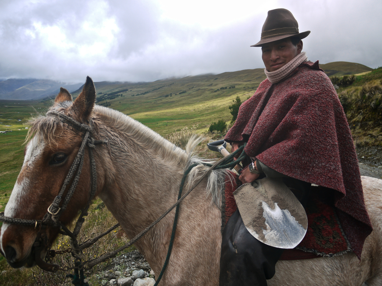
Another of the best intact and continuous sections is in Ecuador from Achupallas to Ingapirca. The route passes through a serene and rugged canyon, and includes the romance of riding over ancient cobbles as well as overland pedaling through marshy grasses at high altitude. This is a track still in occasional use by lone gauchos on horseback who are likely to share their home-brewed alcohol and a story or two of the landscape.
Submit Route Alert
As the leading creator and publisher of bikepacking routes, BIKEPACKING.com endeavors to maintain, improve, and advocate for our growing network of bikepacking routes all over the world. As such, our editorial team, route creators, and Route Stewards serve as mediators for route improvements and opportunities for connectivity, conservation, and community growth around these routes. To facilitate these efforts, we rely on our Bikepacking Collective and the greater bikepacking community to call attention to critical issues and opportunities that are discovered while riding these routes. If you have a vital issue or opportunity regarding this route that pertains to one of the subjects below, please let us know:
Highlights
Must Know
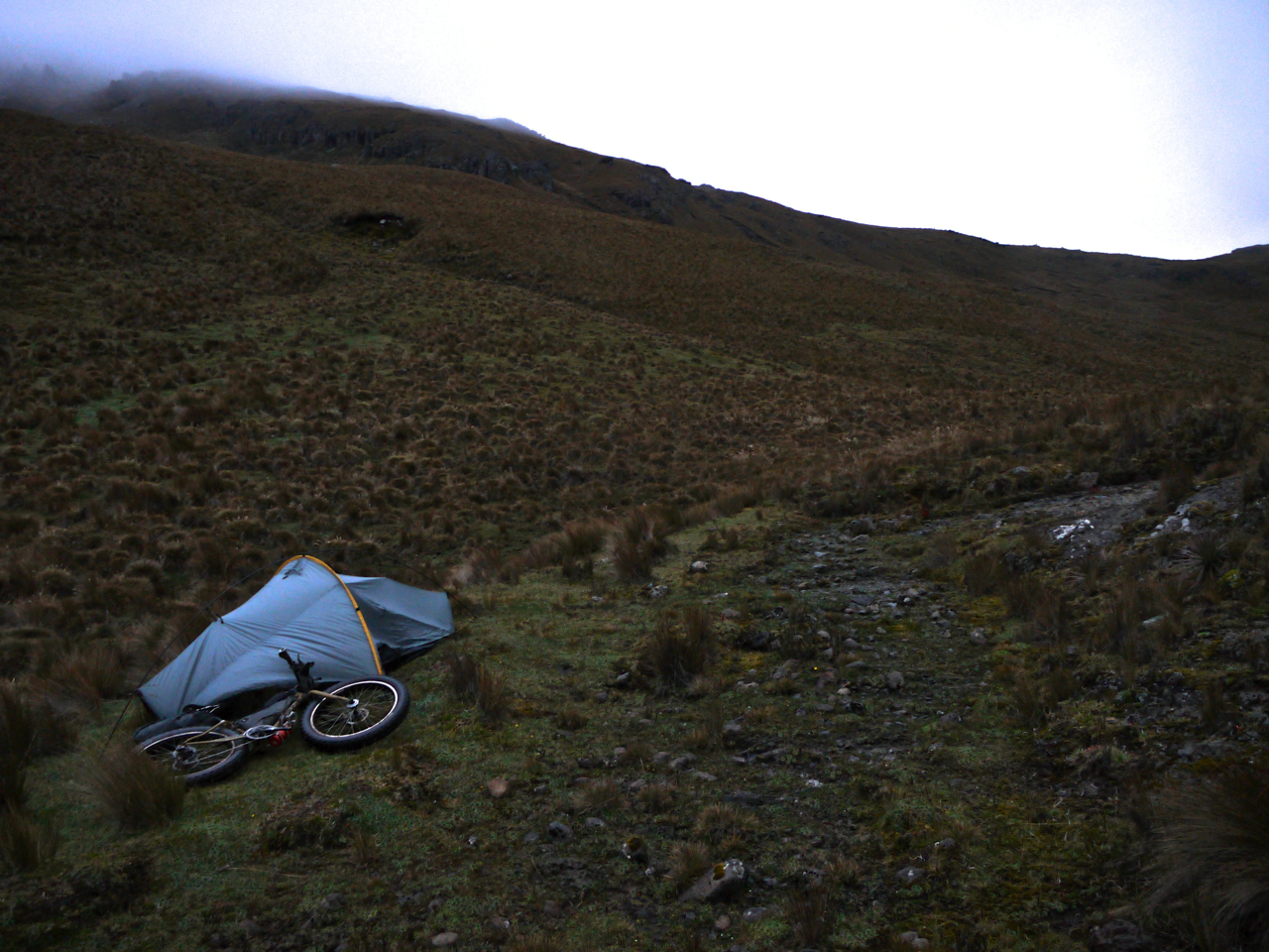
Camping
Food/H2O
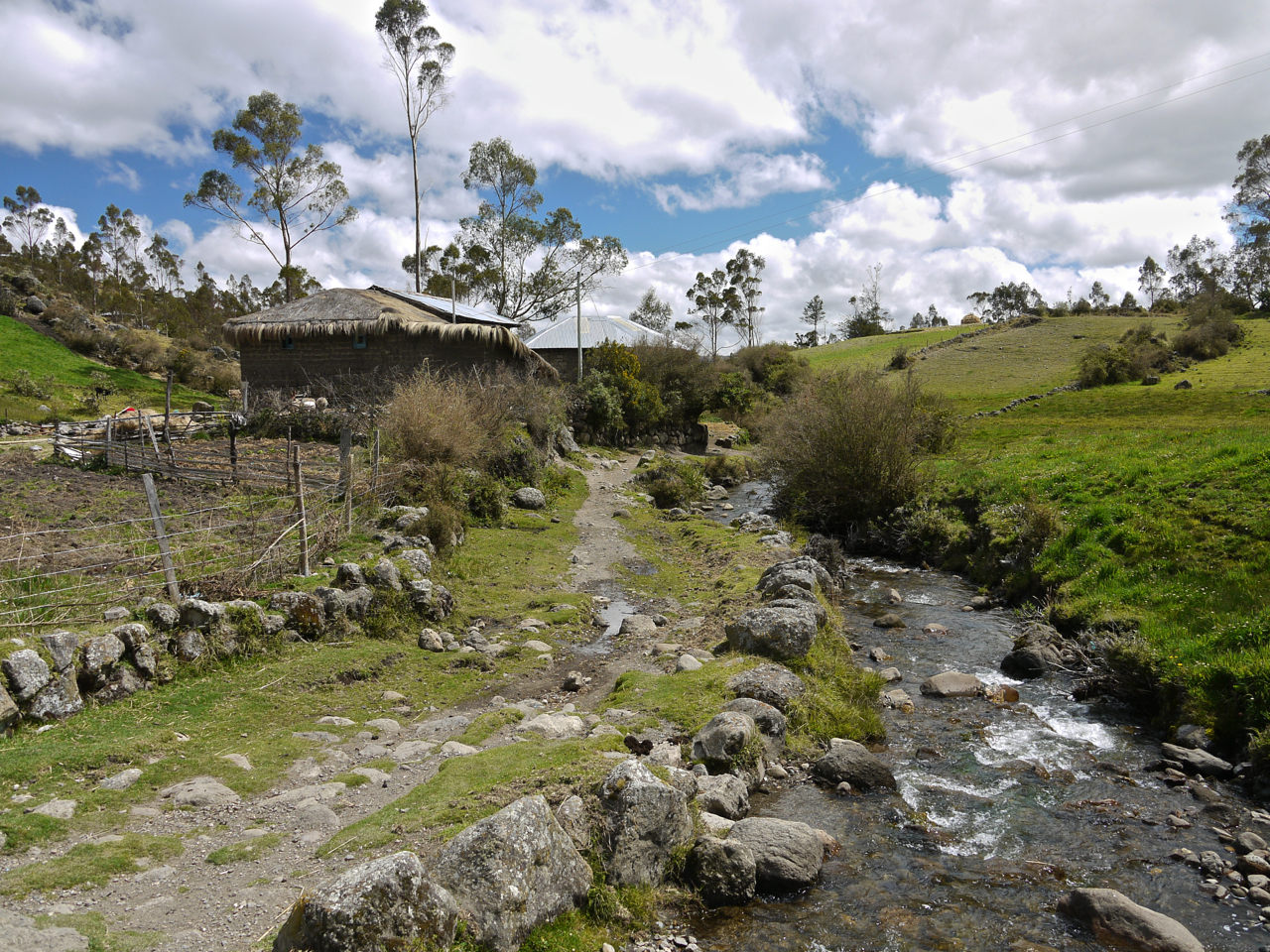
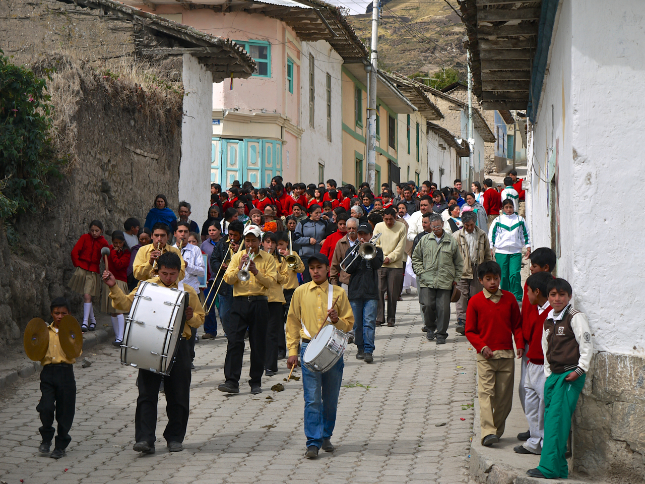
- Passing through the friendly traditional small town of Achupallas. It is worth getting there early enough to spend a half day.
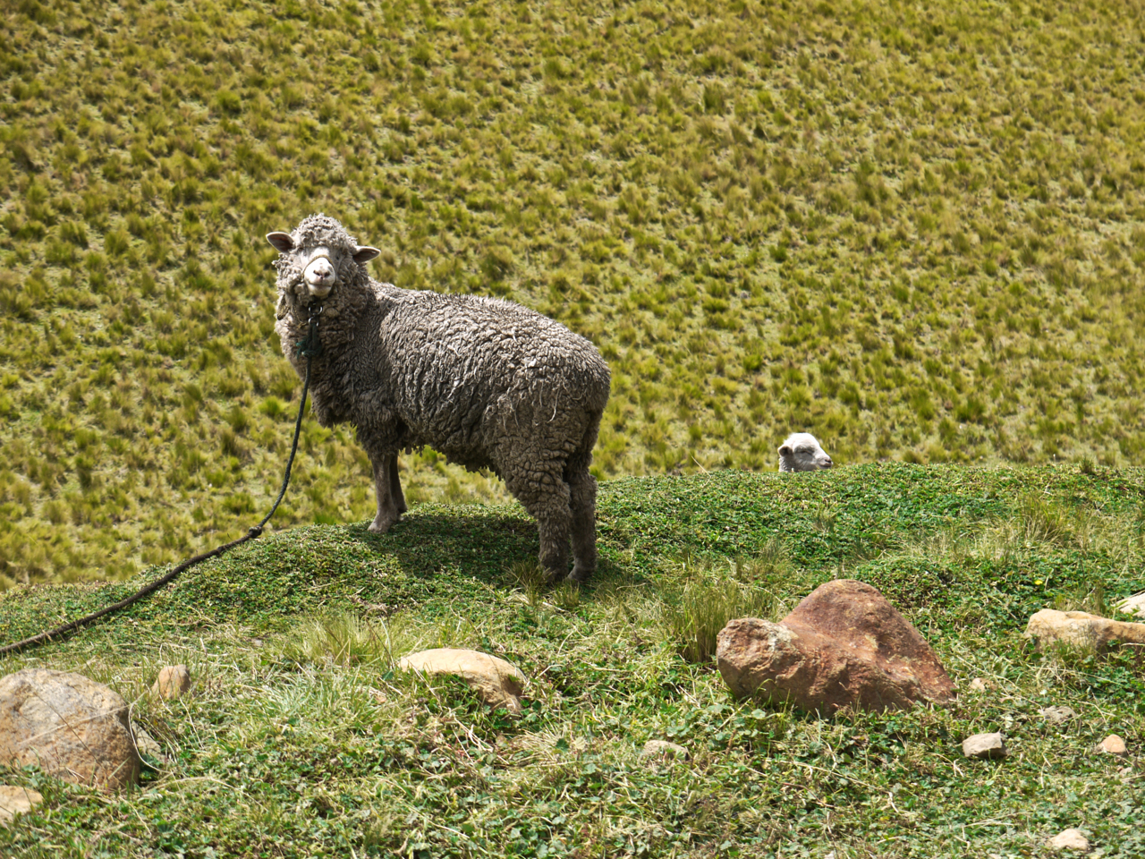
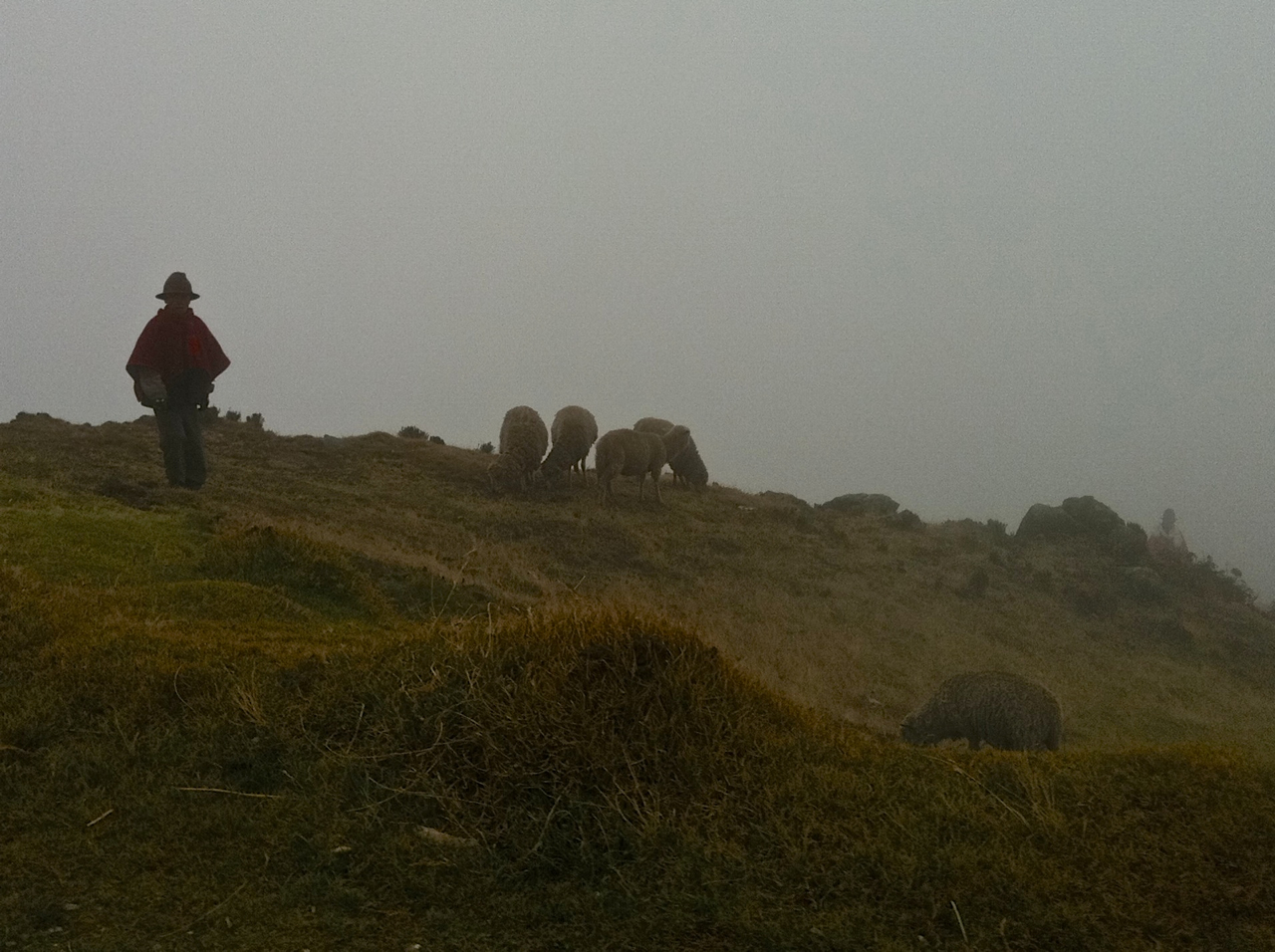
- A sense of the enduring pastoral life of sheepherders and gauchos.
- High altitude remoteness in the canyon.
- Fun few hour descent into Ingapirca on a rock strewn and slightly technical bit of the Inca Trail.
- Get to the start of this route as part of a southward journey through South America. If you have stayed high, descend to the start of the trip from Riobamba. If you have dropped down to the jungle, ascend to the start through Parque Nacional Sangay from Macas.
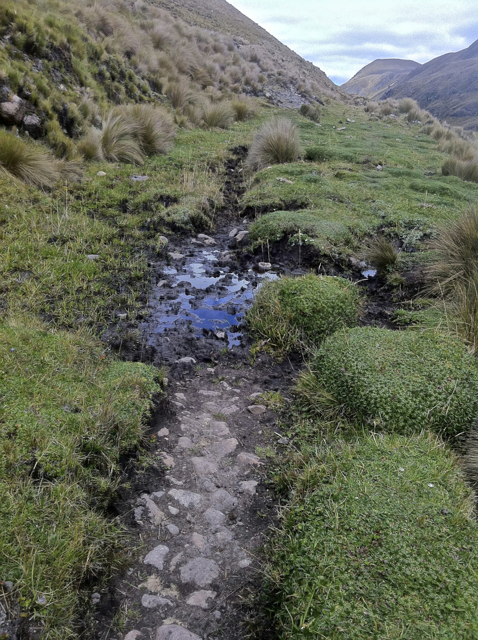
- Navigation on this route is fairly straightforward. The section from Atillo to Totoras can become muddy after rain, but the wettest sections only last a few miles. The only serious obstacle on the route is a cliff ascent near the entrance to the canyon after leaving Achupallas. Trekkers readily climb this section but it would be difficult to scale with a bicycle. Instead, look to the right along the hillside for a series of switchbacks (which will require pushing) to get higher than the top of the obstacle, and then follow the wide babyhead then black-dirt track into the canyon along the same direction you were heading down below. There will likely be sheepherders to direct you.
- Once in the canyon, the singletrack braids southward. Follow any of the paths that seem easily navigable without going too high up either side of the canyon. It is important that you exit the canyon on the southeast side so as to continue to Ingapirca.
- This trip can be done on any dirt-capable bicycle, but wide mountain bike tires or a fat bike will do better in the marshy sections. Expect to do some pushing as part of the experience.
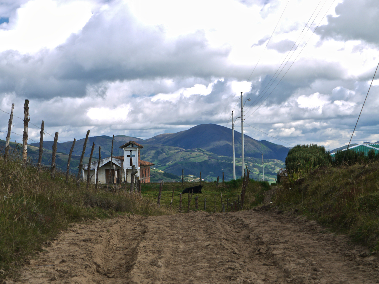
- Basic accommodation is available in Atillo, Achupallas, and Ingapirca. For lodging in Achupallas, look for a guesthouse run by Ines Velez called Posada El Inganan (033012525). Great food and homey atmosphere with hot showers.
- Wild camping is straightforward along this route, especially in the canyon.
- Supplies are readily available in Atillo, Achupallas, and Ingapirca. There is water along the route; it should be treated.


Terms of Use: As with each bikepacking route guide published on BIKEPACKING.com, should you choose to cycle this route, do so at your own risk. Prior to setting out check current local weather, conditions, and land/road closures. While riding, obey all public and private land use restrictions and rules, carry proper safety and navigational equipment, and of course, follow the #leavenotrace guidelines. The information found herein is simply a planning resource to be used as a point of inspiration in conjunction with your own due-diligence. In spite of the fact that this route, associated GPS track (GPX and maps), and all route guidelines were prepared under diligent research by the specified contributor and/or contributors, the accuracy of such and judgement of the author is not guaranteed. BIKEPACKING.com LLC, its partners, associates, and contributors are in no way liable for personal injury, damage to personal property, or any other such situation that might happen to individual riders cycling or following this route.
Please keep the conversation civil, constructive, and inclusive, or your comment will be removed.