


The Audible: Bikepacking Cypress Hills
Distance
100 Mi.
(161 KM)Days
3
% Unpaved
83%
% Singletrack
18%
% Rideable (time)
98%
Total Ascent
6,900'
(2,103 M)High Point
4,800'
(1,463 M)Difficulty (1-10)
4?
- 4Climbing Scale Fair69 FT/MI (13 M/KM)
- -Technical Difficulty
- -Physical Demand
- -Resupply & Logistics
Contributed By
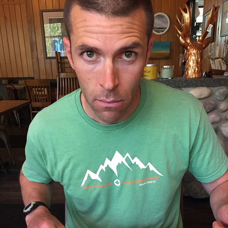
Lyndon Cousins
Guest Contributor
Lyndon finds solace from the stressors of firefighting by cruising the foothills and mountains of the Canadian Rockies. He annoys his friends with impromptu bagpipe sessions in improbable places.
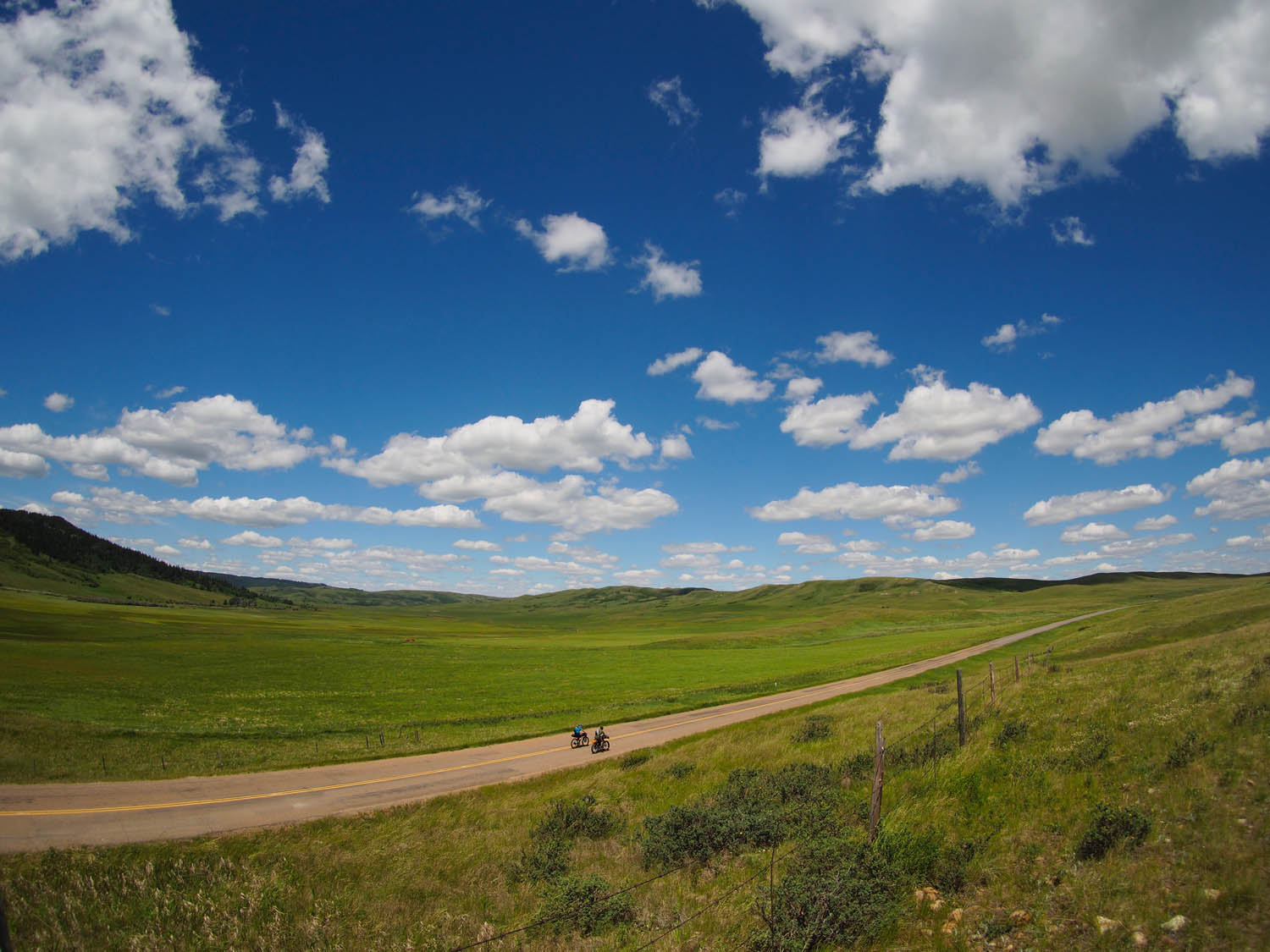
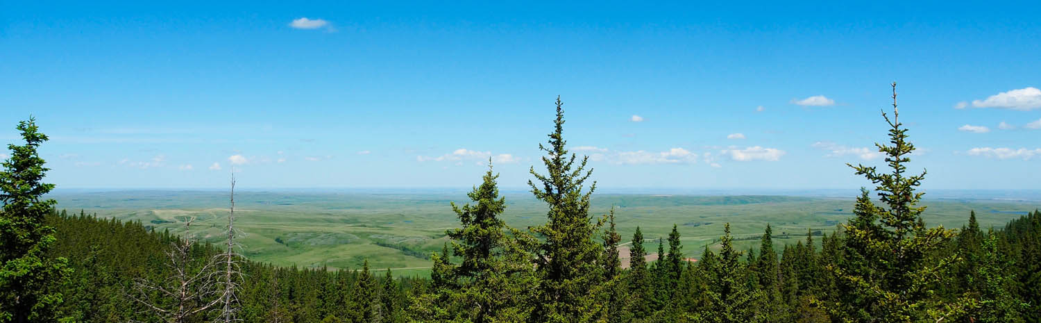
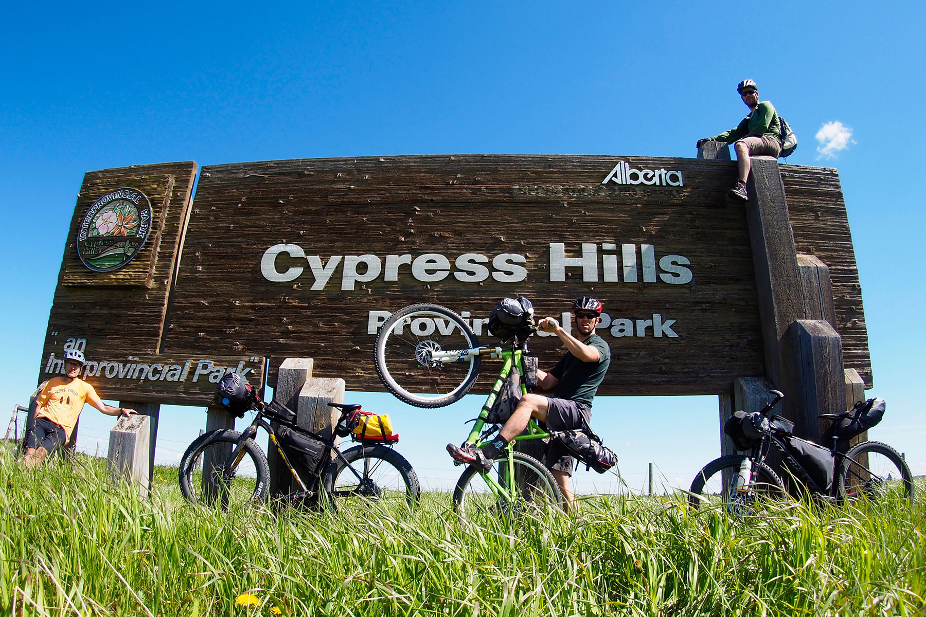
The Cypress Hills are an oasis in the middle of the huge, dry prairie. Often forgotten for the splendour of the mountainous National Parks to the west, Cypress Hills Interprovincial Park offers a bit of everything. Rising 600 meters above the surrounding flatlands, this “Island in the sky” escaped glaciation in the last ice age, and is the highest point in Canada between the Rocky Mountains and Labrador.
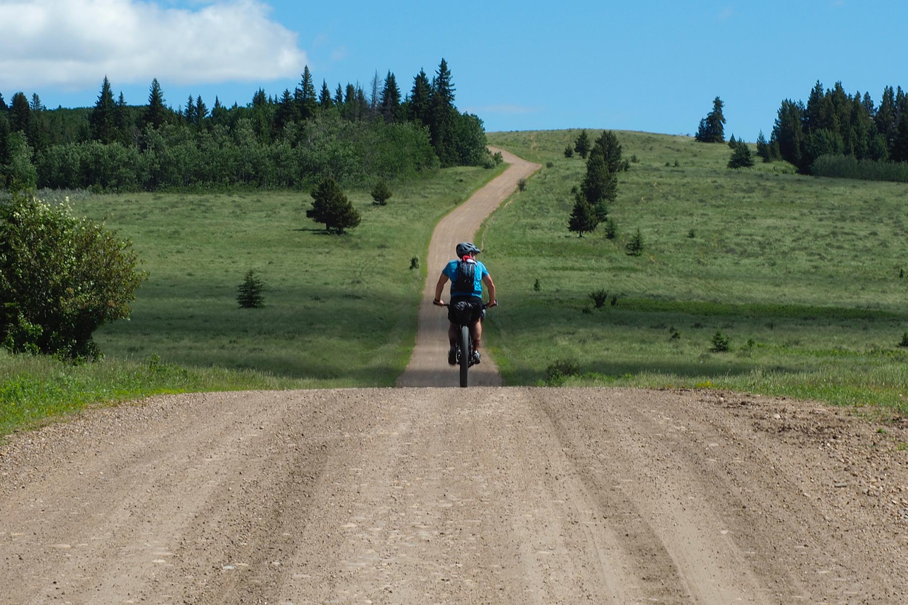
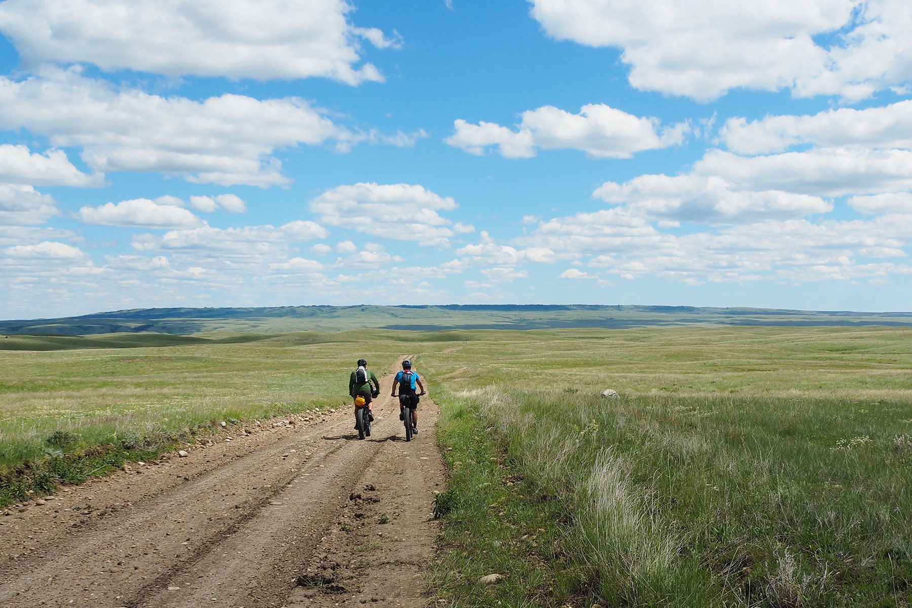
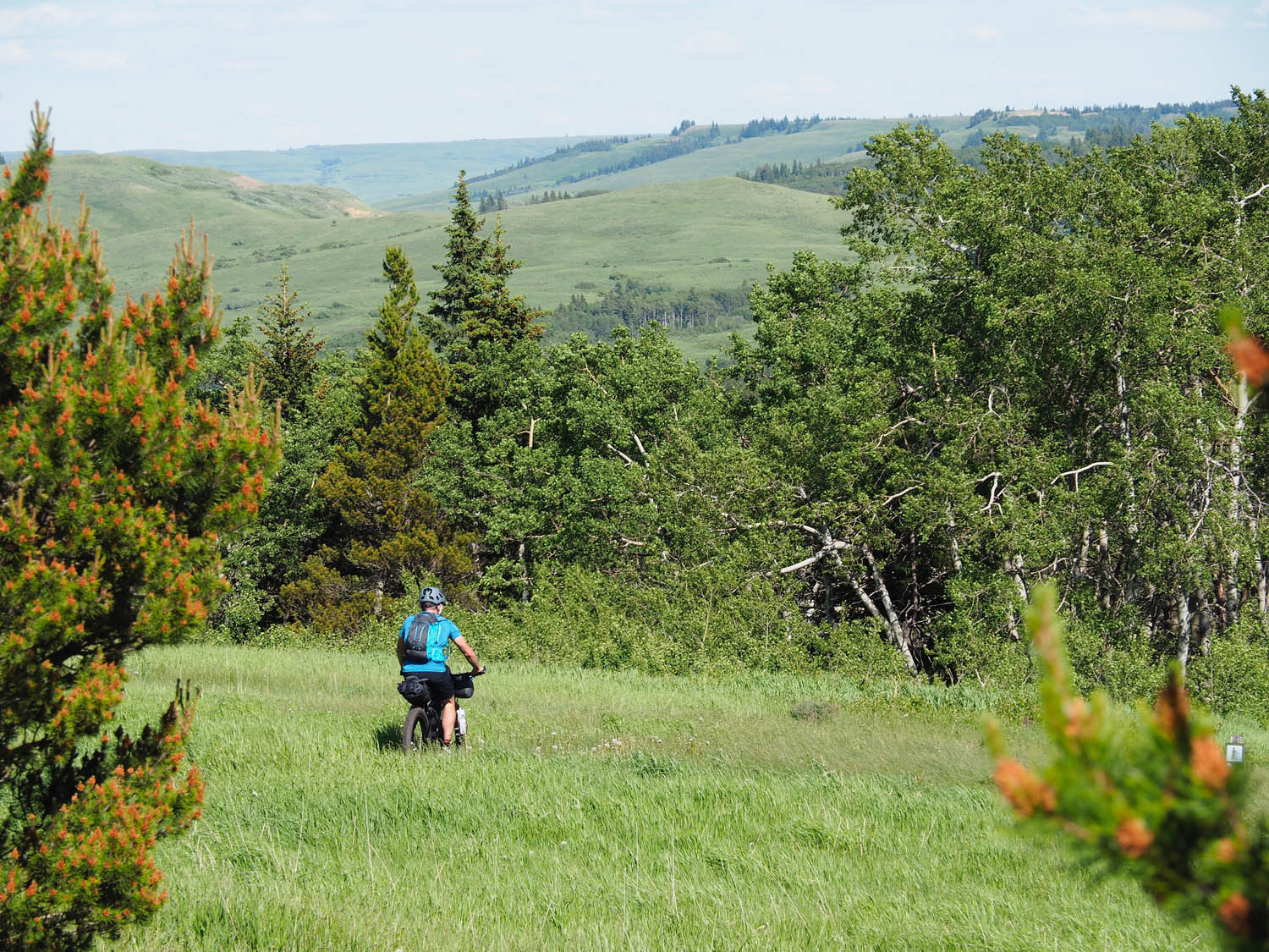
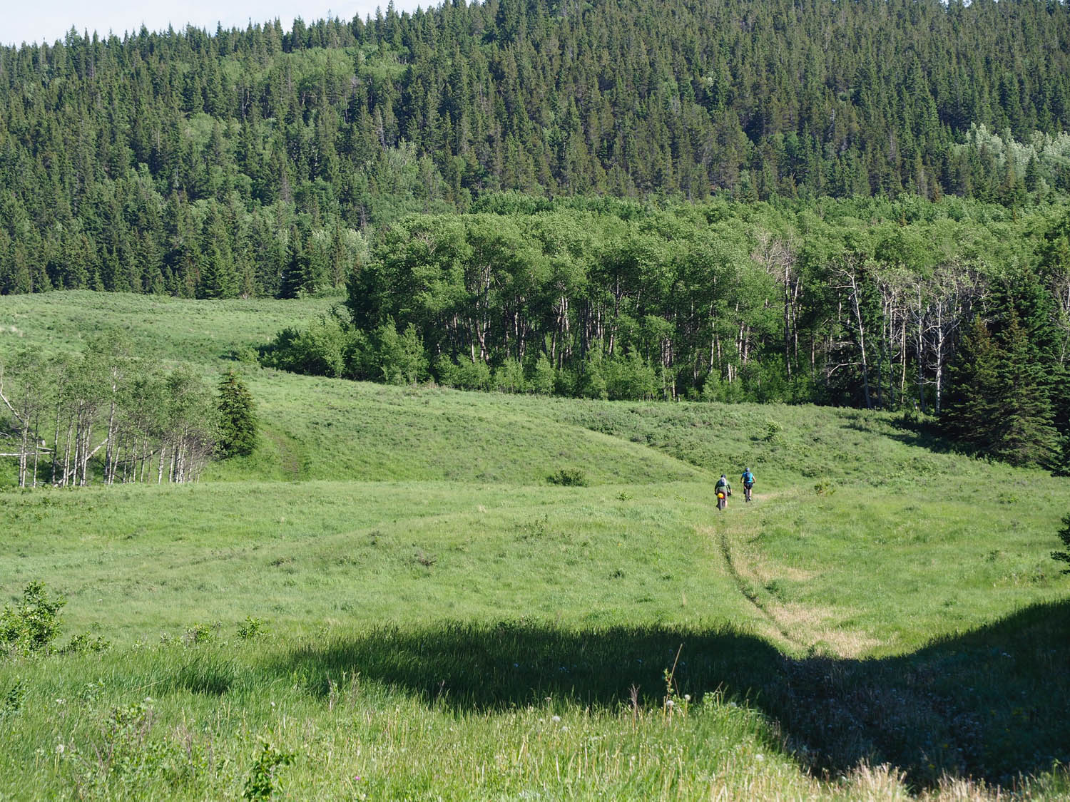
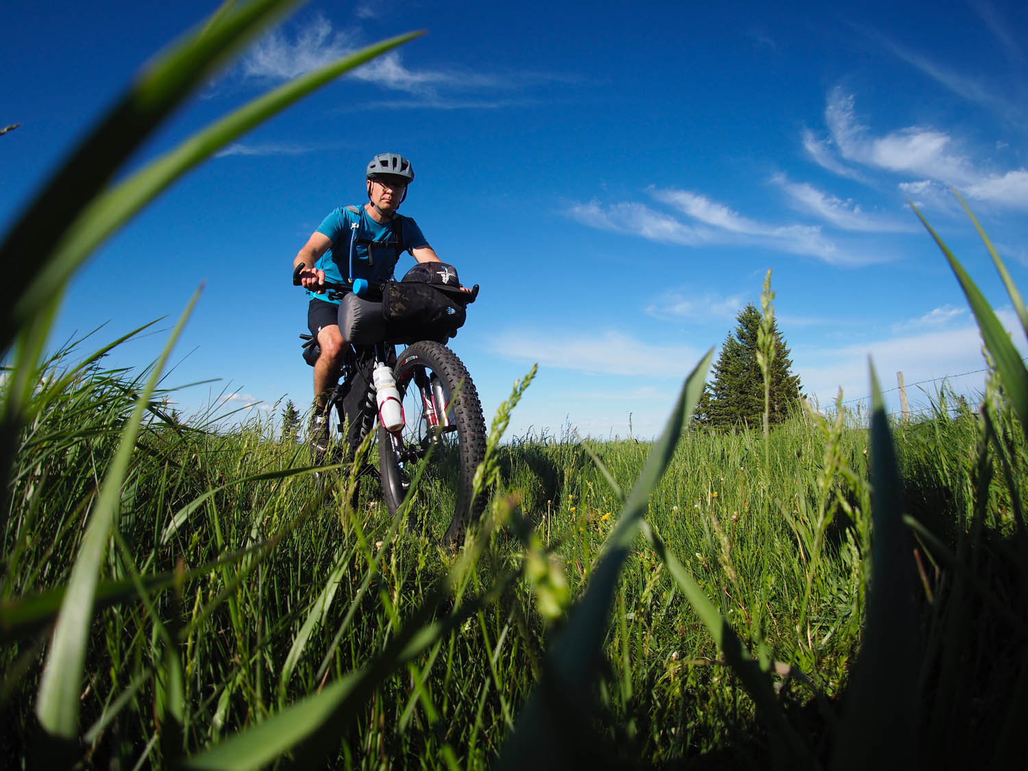
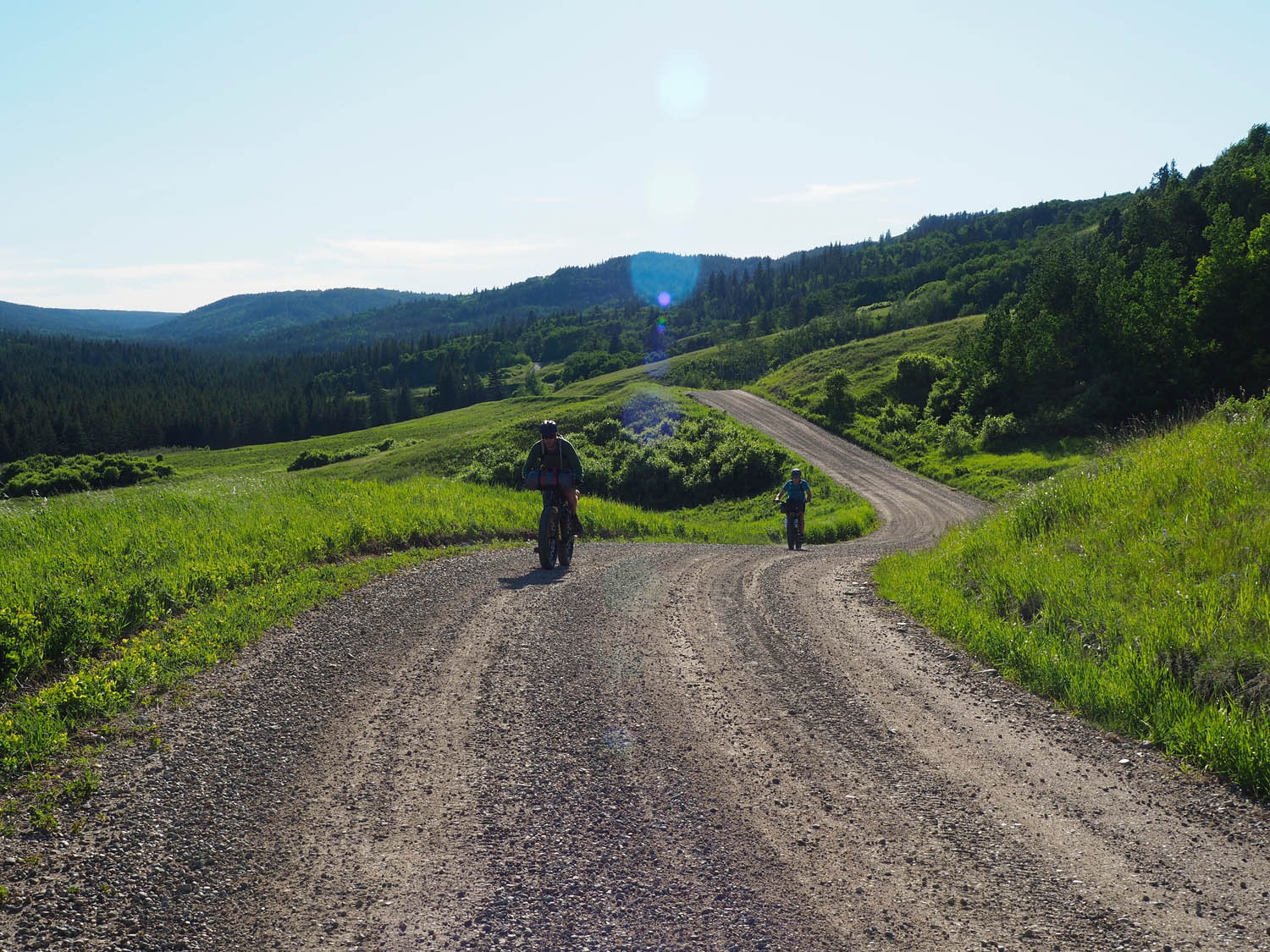
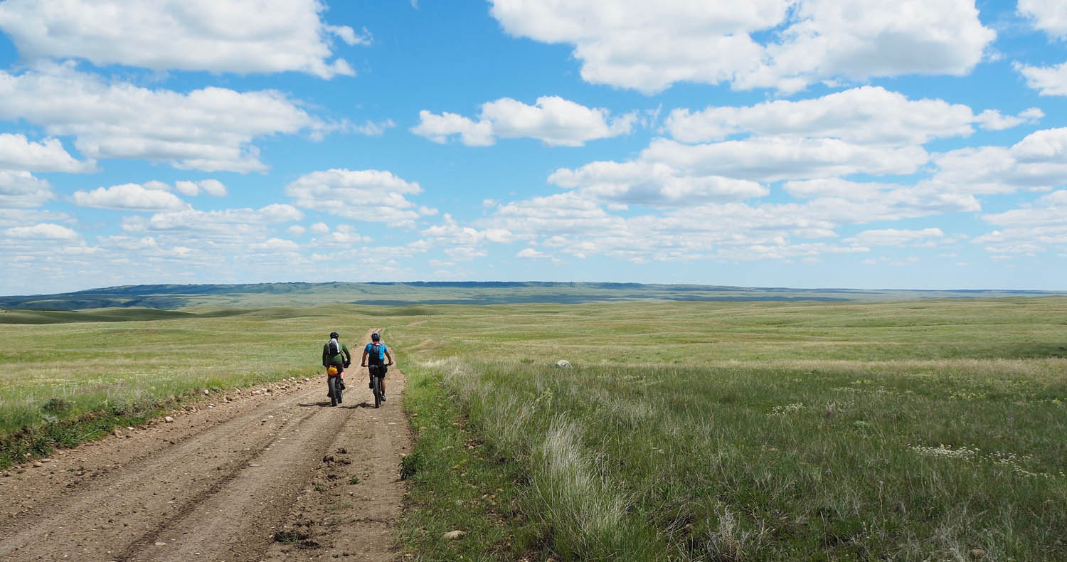
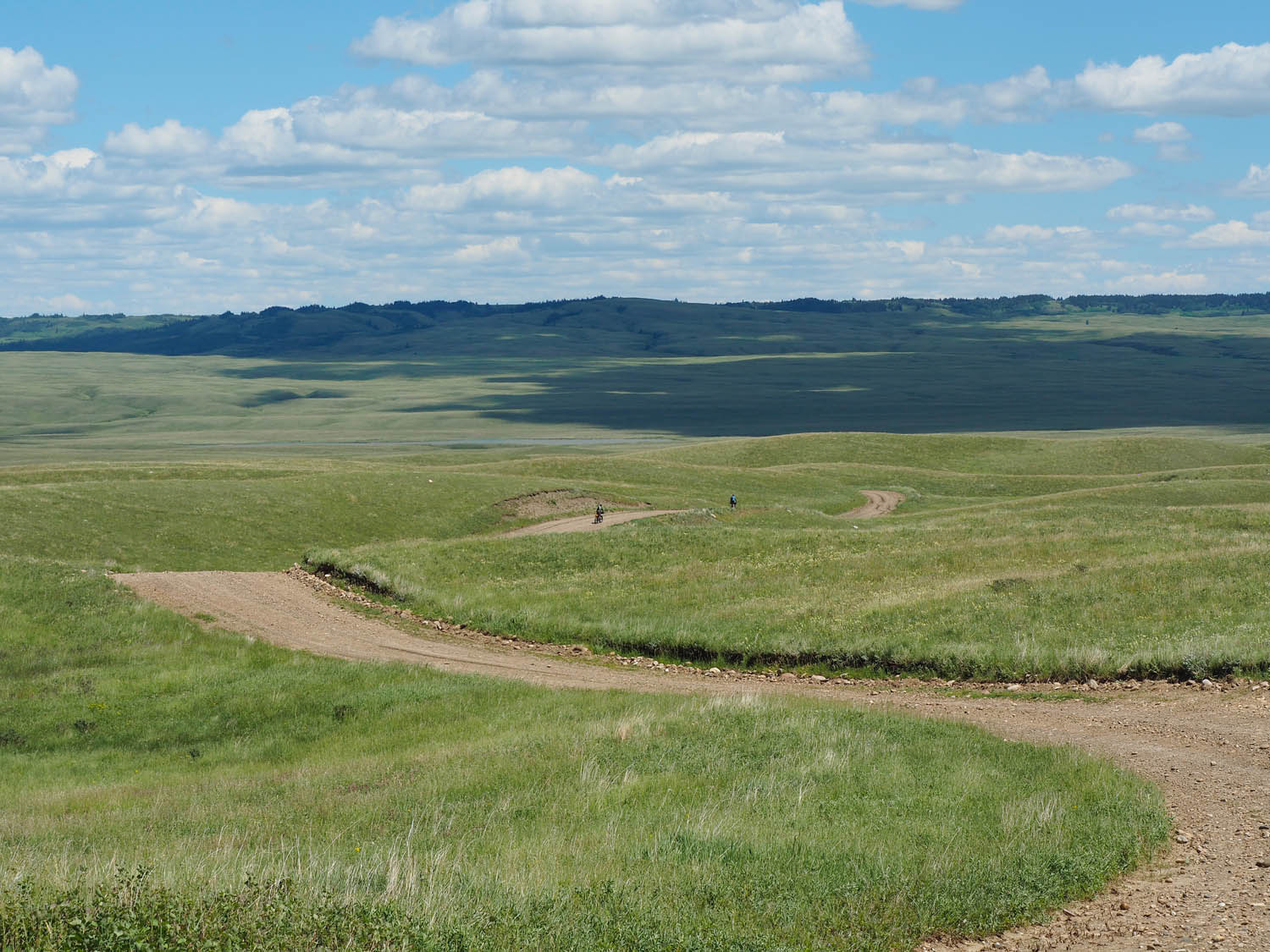
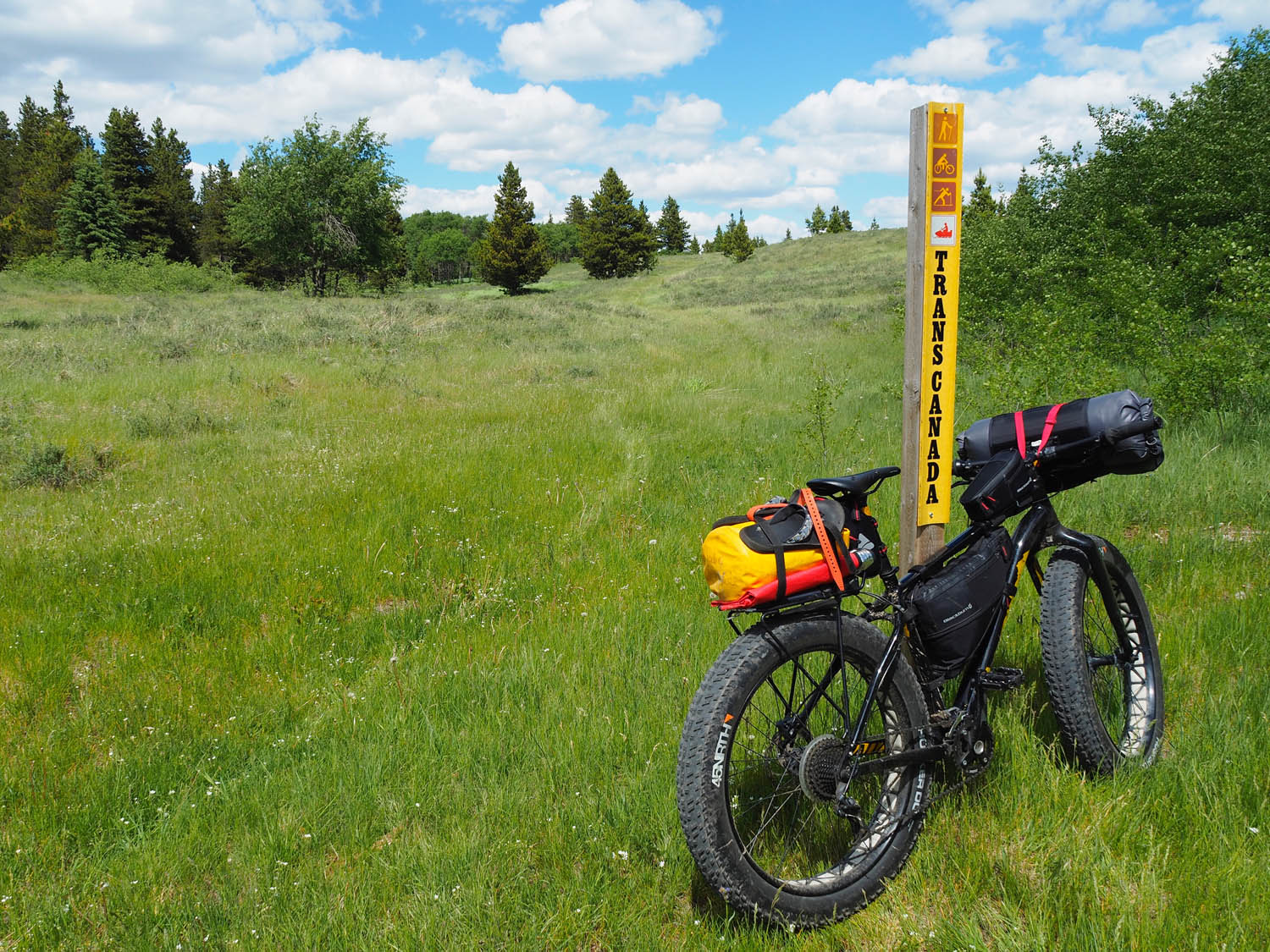
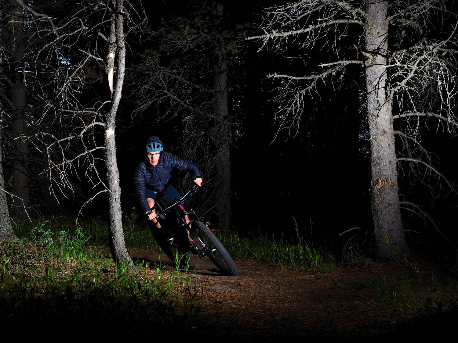
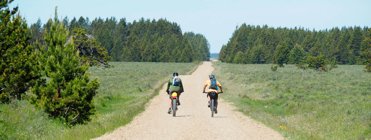
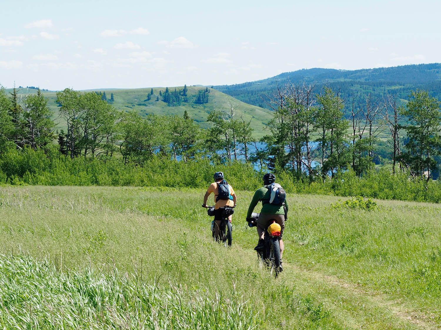
As far as the riding goes, this route utilizes an excellent section of Trans Canada Trail, (Now called “The Great Trail”). There’s also some fun singletrack and enough gravel to rack up some serious mileage. The local mountain bike club (670 collective) is doing lots of work to increase the quality of trails in the area. The rolling hills go on and on, with twisting roads and long, steep climbs and descents, matched with seemingly endless flat sections up on the plateaus.
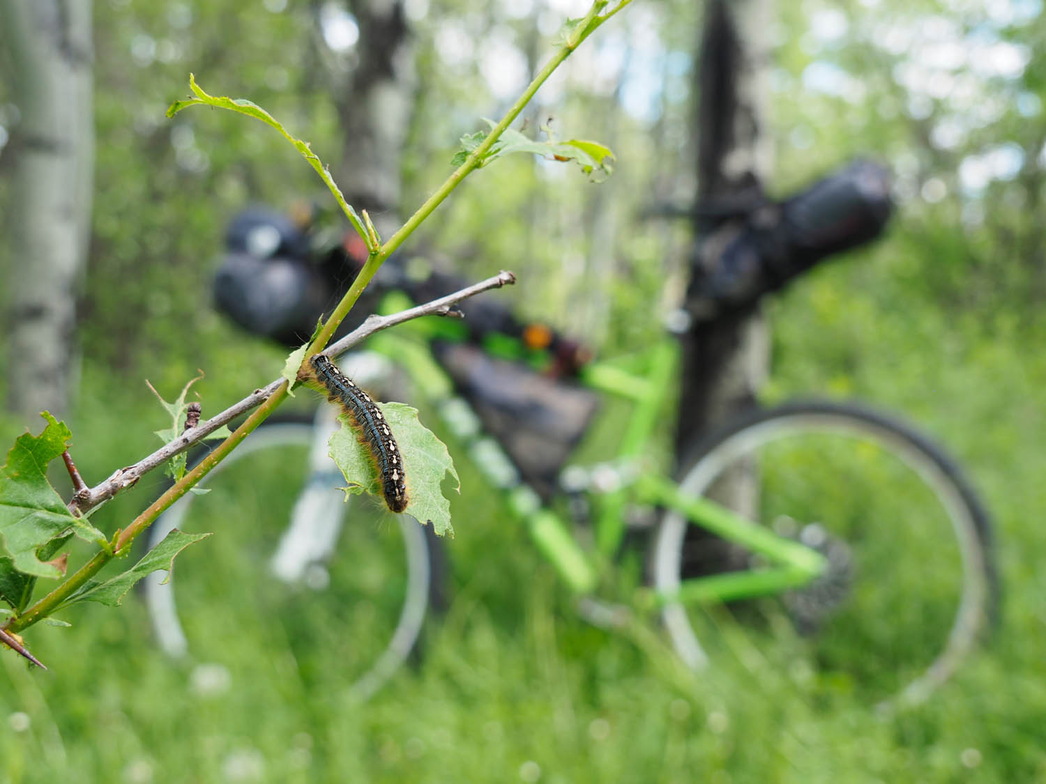
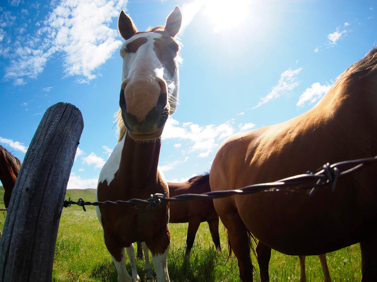
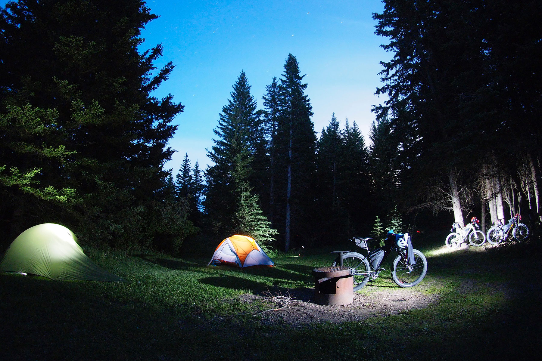
The route is peppered with amazing lakes for fishing, swimming and boating, while small creeks jammed full of beautiful Brook and Rainbow trout criss-cross the area. The camping is quiet and plentiful, and, being a dark sky preserve, the stars are absolutely silencing on a clear night. Everywhere you go, the views are incredible, with the terrain falling down around you, allowing you to see for up to one hundred kilometres on a clear day. Wildflower meadows are everywhere, full of orchids, dragonflies, caterpillars and more butterflies than you can imagine.
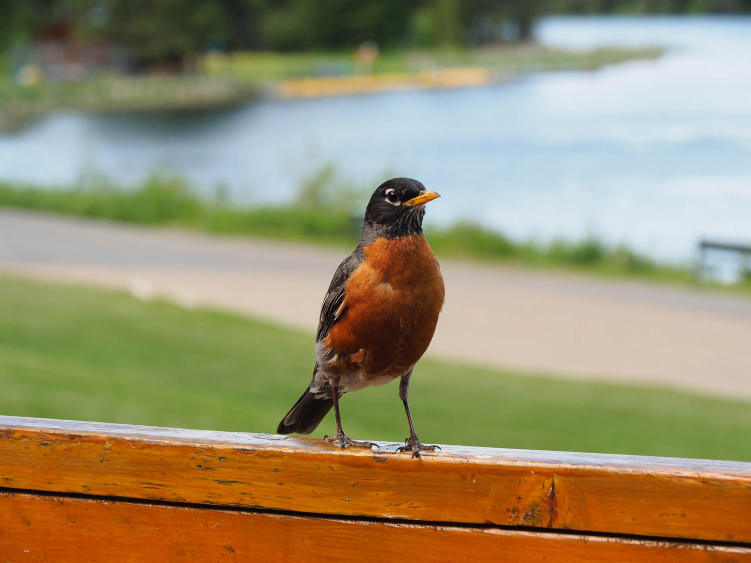
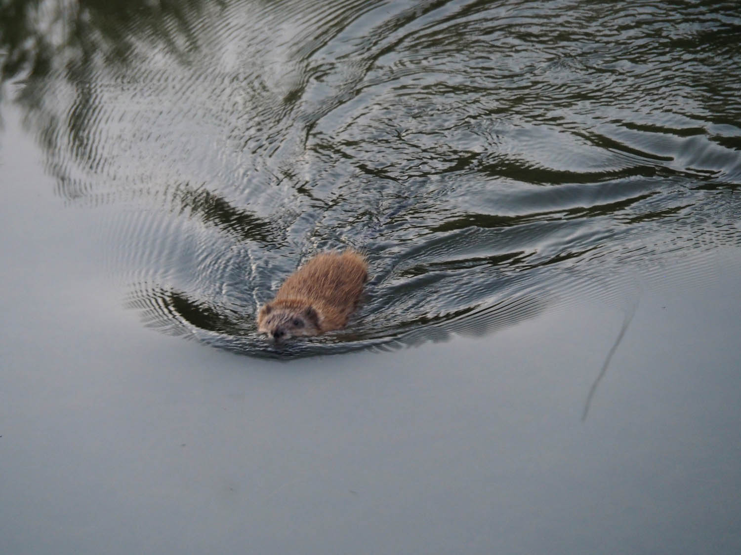
The forests are Lodgepole Pine and Spruce, with lots of Hawthorn trees waiting to tear into unsuspecting passers-by. Whitetail deer, redwing blackbirds, beavers, muskrats, Pronghorn Antelope, squirrels and cougars are some of the beasts that you may run into along the way.
The history of the area is rich with the stories of the First Nations, the original stewards of the land, the beginnings of Royal Canadian Mounted Police, bootlegging, and massacre. Farming and ranching now play a large role in the area, with friendly herds of cattle taking advantage of the rich grasslands. Fort Walsh National Historic Site is worth checking out as well.
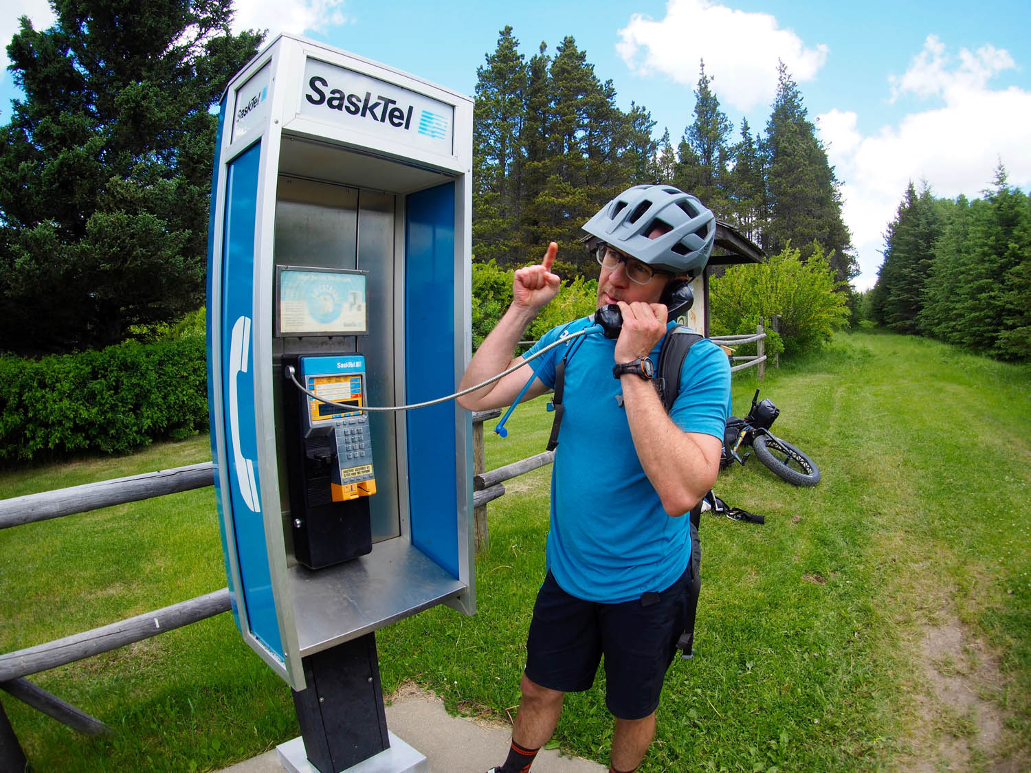
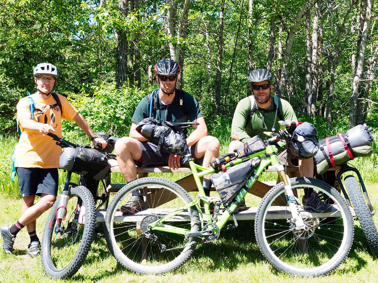
Route Development: Aligning the schedules of a paramedic, a firefighter and an office worker was almost as difficult as the aggressive bikepacking route we had planned in the Canadian Rockies. Despite the forecast of constant rain and possible snow in the mountains, we knew we had to make a trip happen this four-day weekend or it might be another year before our calendars were in sync again. Guided by the Environment Canada forecast we looked east, away from the mountains and National Parks, to Cypress Hills Interprovincial Park, an area that straddles the borders of Alberta and Saskatchewan. It looked dry, so we threw together a rough plan, with lots of flexibility due to the unknowns, and headed out. It took a few different maps, a bit of exploration in Google Earth, and the kind folks at the visitors info center in Elkwater for advice, but we cobbled together a route. Two hours into the ride we knew we made the right decision. This route was designed and ridden by Ian Dingle (headwind neutralizer), Patrick McCabe (bit of a delicate flower) and Lyndon Cousins (could really use a sandwich). The Audible was selected as a runner up winner in the ROUT3 Contest.


Submit Route Alert
As the leading creator and publisher of bikepacking routes, BIKEPACKING.com endeavors to maintain, improve, and advocate for our growing network of bikepacking routes all over the world. As such, our editorial team, route creators, and Route Stewards serve as mediators for route improvements and opportunities for connectivity, conservation, and community growth around these routes. To facilitate these efforts, we rely on our Bikepacking Collective and the greater bikepacking community to call attention to critical issues and opportunities that are discovered while riding these routes. If you have a vital issue or opportunity regarding this route that pertains to one of the subjects below, please let us know:
Highlights
Must Know
Camping
Food/H2O
Trail Notes
Resources
- Reesor Overlook for views of the surrounding prairie
- The “No pedal challenge” on Gap Road (Seeing how far you can go without pedalling in a downhill tailwind.)
- Being lit up by a Pronghorn Antelope
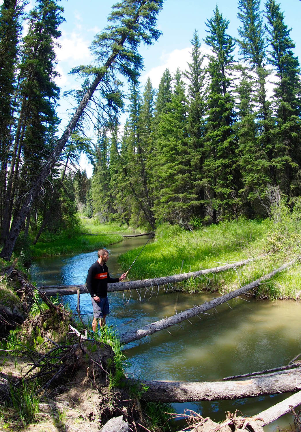
- Fly Fishing in Battle Creek
- The incredible stars of the Dark Sky Preserve
- Camp Cookhouse in Elkwater
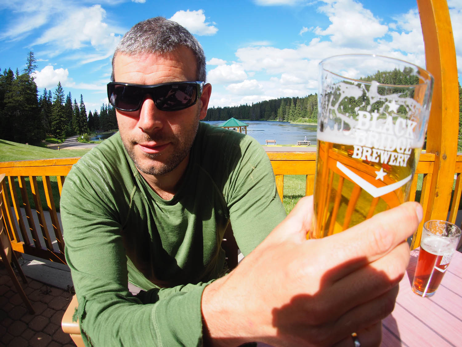
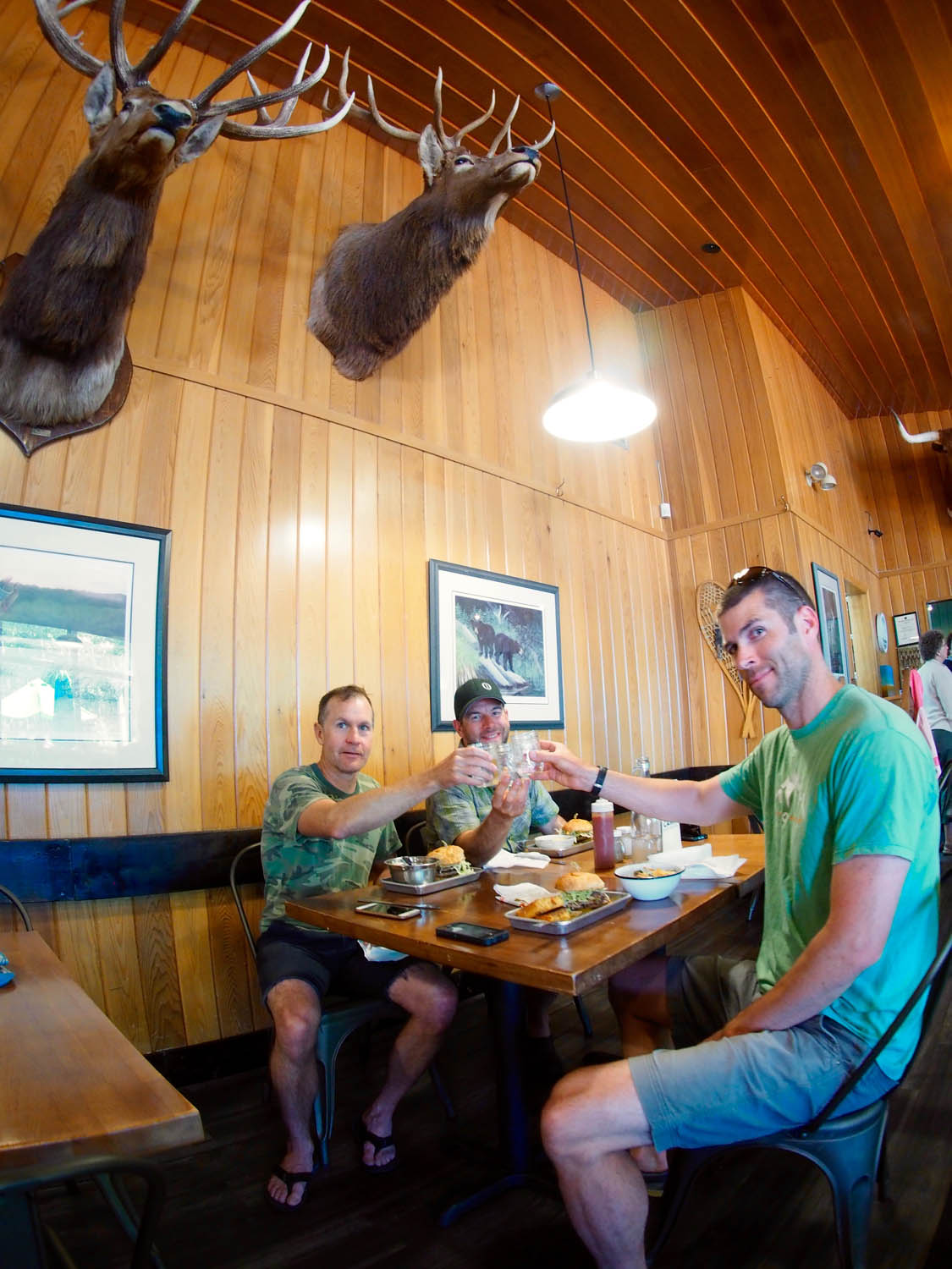
- Lodgepole Grill for Black Bridge Beer and Hutterite Saskatoon pie and ice cream in the Center Block
- Wildflower meadows jammed full of butterflies
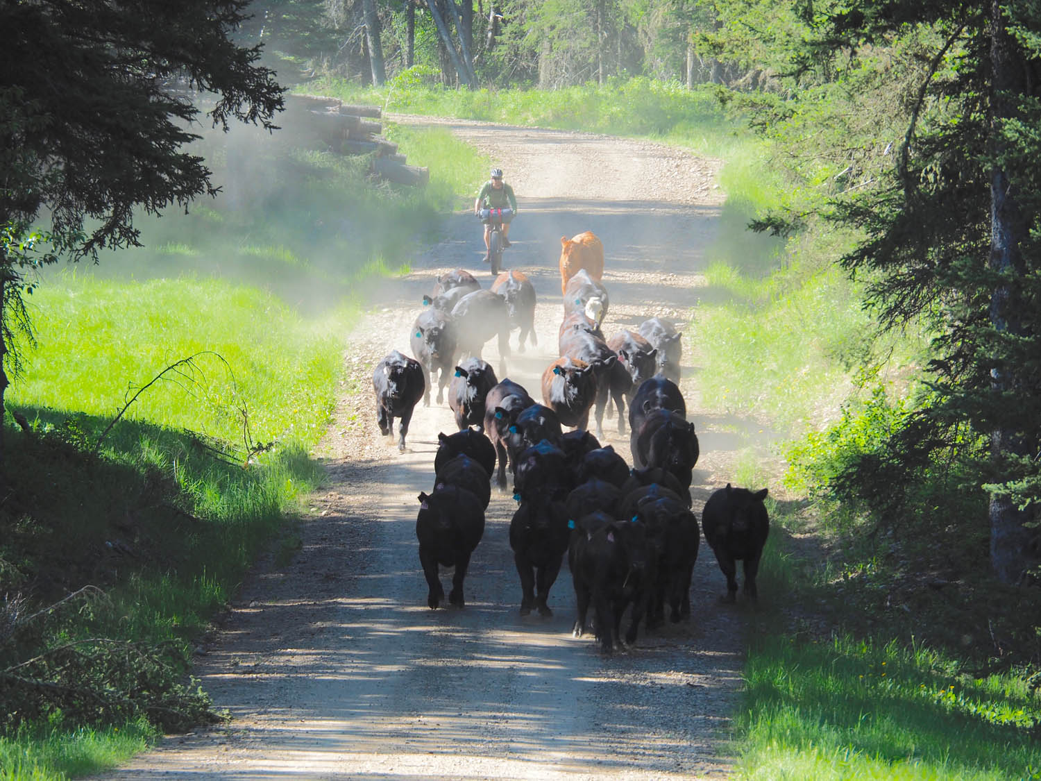
- Stampeding free range cattle that we frightened while roaring down a hill
- Summer is the best tome to ride it, but late spring and early fall are great too. Fat biking is permitted in the park, with 2 campgrounds and 3 backcountry huts open year round for winter options.
- This trip can be done starting at either end, Elkwater or Center Block, as it’s an out and back with options.
- There are Cougars in the Cypress hills, so carry bear spray and know how to use it.
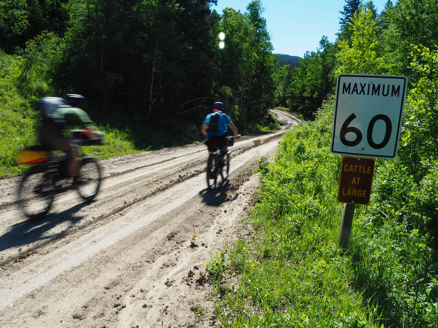
- If it’s wet, the gravel/clay roads can be impassable. Gumbo. Go fishing until it dries up.
- A Tenkara rod is perfect for this trip. Small streams and tiny trout everywhere you look. You’ll need a fishing license from both Alberta and Saskatchewan if you fish on both sides of the border.
- Bring bug spray. Depending on where you go, they can be thick.
- Random camping is not allowed anywhere in the park, so stick to designated sites only.
- If it’s a busy weekend, you’d be wise to reserve your campsites. We were there in early June and we had the place to ourselves, but it can be a long way back to town if you get stuck without a campsite.
- There are also some backcountry huts on the Alberta side that can be reserved for some cushier camping.
- Battle Creek Campground in Alberta or the campgrounds near the Ranger Station on the Saskatchewan side are your best bets for camping midway between Elkwater and Center Block.
- There is water available in creeks and lakes all over the place, but bring a filter or tablets to purify it.
- Camp cookhouse and General store in Elkwater
- Elkwater Lake Lodge and Resort in Elkwater
- 12-34 Cafe and Pub in Elkwater
- The Resort at Cypress Hills in the Center Block has a great restaurant for breakfast, lunch and supper.
- Lodgepole Grill in Center block has Black Bridge Craft beer from nearby Swift Current, Saskatchewan.
- Dar’s Little Dipper in Center Block for Ice cream and burgers and fries
- Lone Pine Pizza in Center Block
- Fort Walsh National Historic Site also has a concession, but with limited hours. (It was closed the whole time we were there.)
- Historic Reesor Ranch just east of the Saskatchewan border has a restaurant.
The route started at the Visitor Centre in the aspiring resort Town of Elkwater on the Alberta side of the Park. There we loaded up with a pre-ride meal and a few last minute supplies at the Camp Cookhouse & General Store. (Be sure to get the side “smashed salad”.)
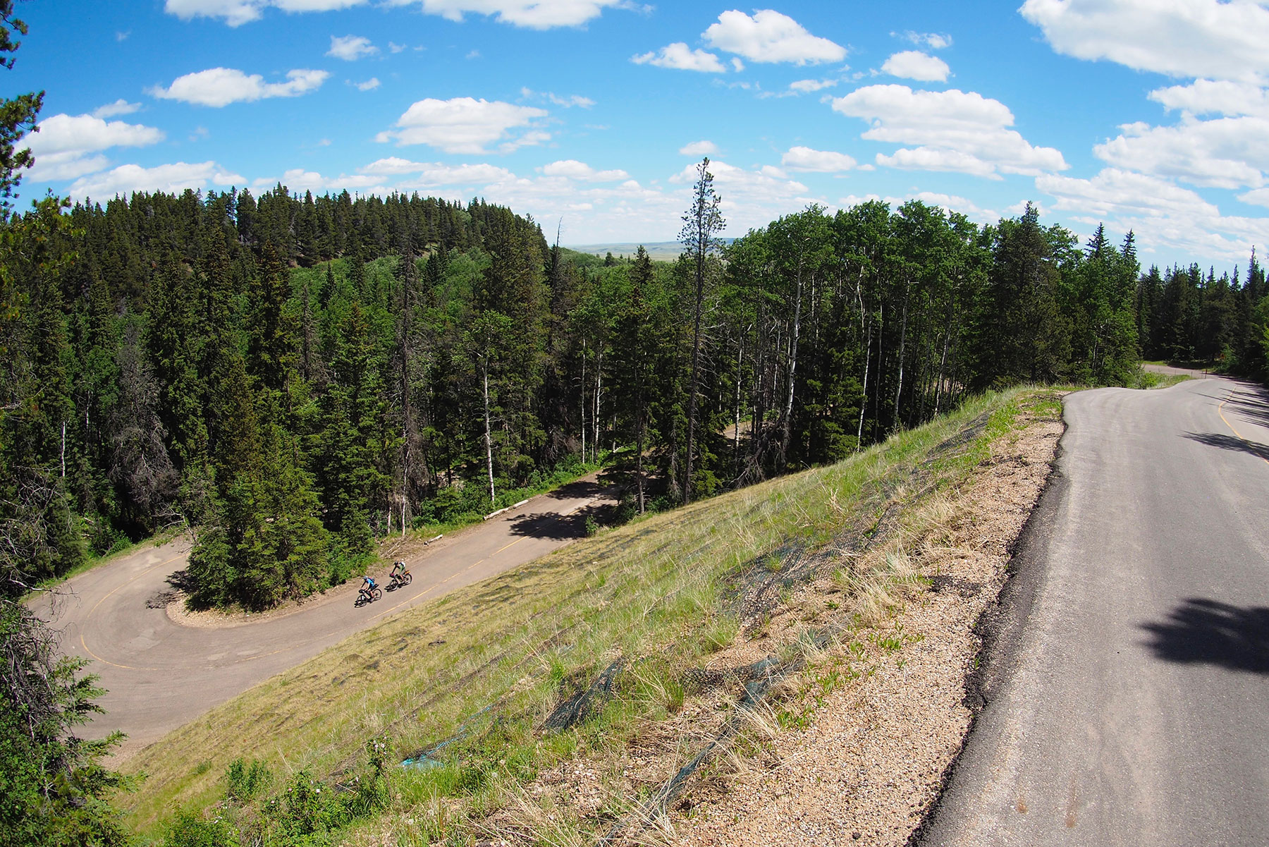
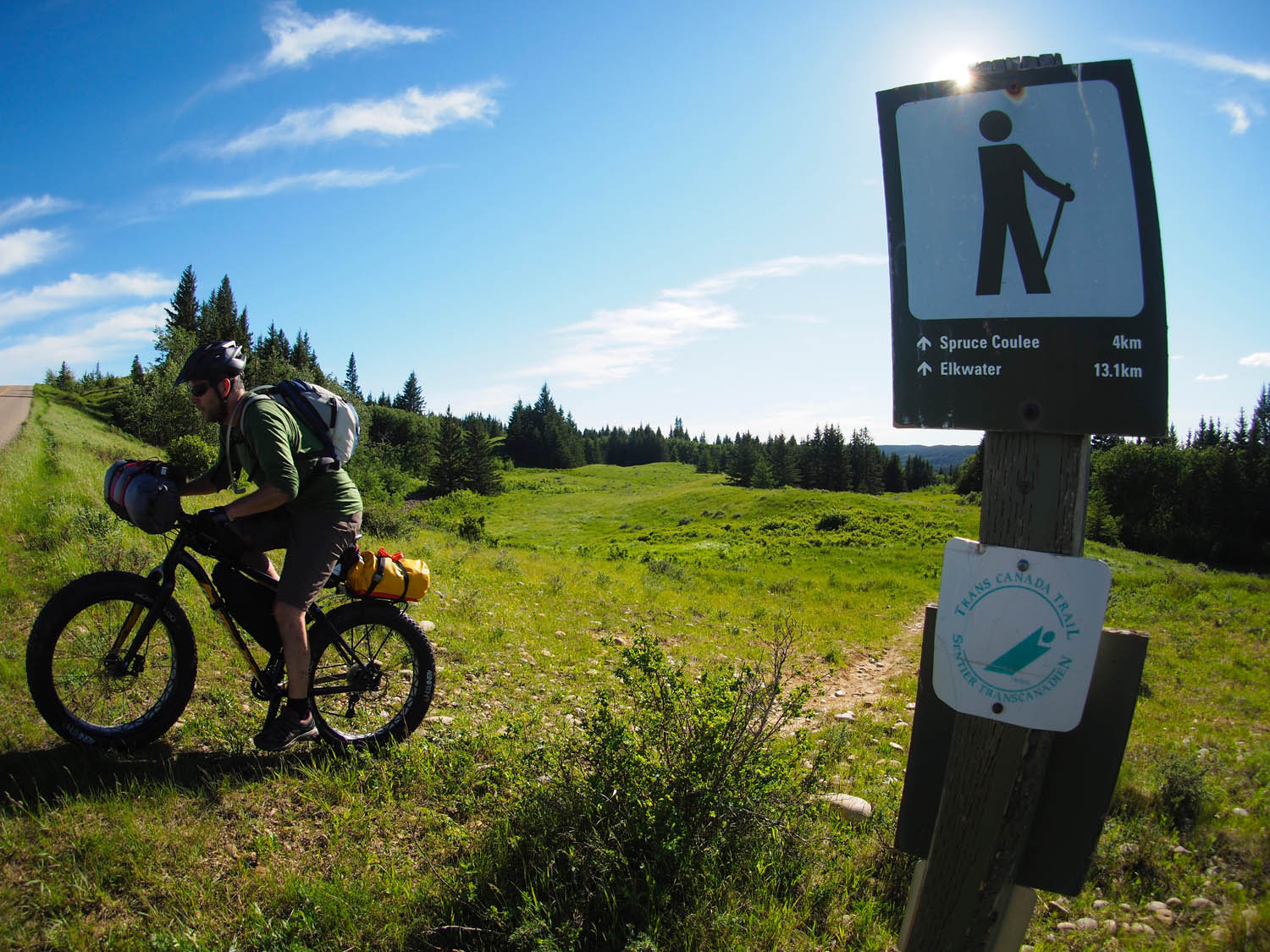
A paved trail started immediately on Elkwater Lake but soon morphed into the slightly overgrown Spruce Coulee Trail that was nicely cooled by lush forest. As we continued to head west to the Spruce Coulee Reservoir the trail became more pronounced as it officially changed into the Trans Canada Trail. After a rocket ship single-track ride down to Reesor Lake we were soon on Battle Creek Road, which brought us to Battle Creek Campground for the night, where bug spray and a water filter is a must.
The next morning we were back on the gravel of Battle Creek Road heading west and crossing the border into the Province of Saskatchewan. Cypress Hills is considered a water divide with spring water flows going both south to Gulf of Mexico and north to Hudson Bay. Spontaneous stops along Battle Creek and other small streams led to Tenkara clashes with abundant Rainbow Trout. From Ranger Station Road we passed Fort Walsh National Historic Site (it was closed) and jumped on the 271 paved road which brought us off the plateau to the “TRAVEL AT OWN RISK -IMPASSIBLE WHEN WET”, 17km clay Gap Road. As we took time for lunch in ‘the gap’, exposed to wind, sun and unforgettable big sky views it was easy to understand why First Nation peoples (Cree, Assiniboine, Atsina, Blackfoot, Saulteaux, Sioux and Crow) took refuge in the treed areas at either side of the Interprovincial Park. Soon we were back on the Trans Canada Trail on our way to the small resort town of Centre Block. Here we found lake bound beaches, ice cream, local Saskatchewan microbrew and several dining and camping options.
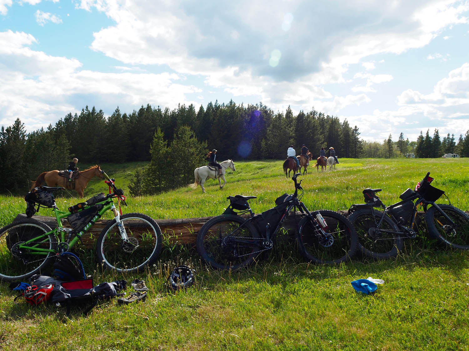
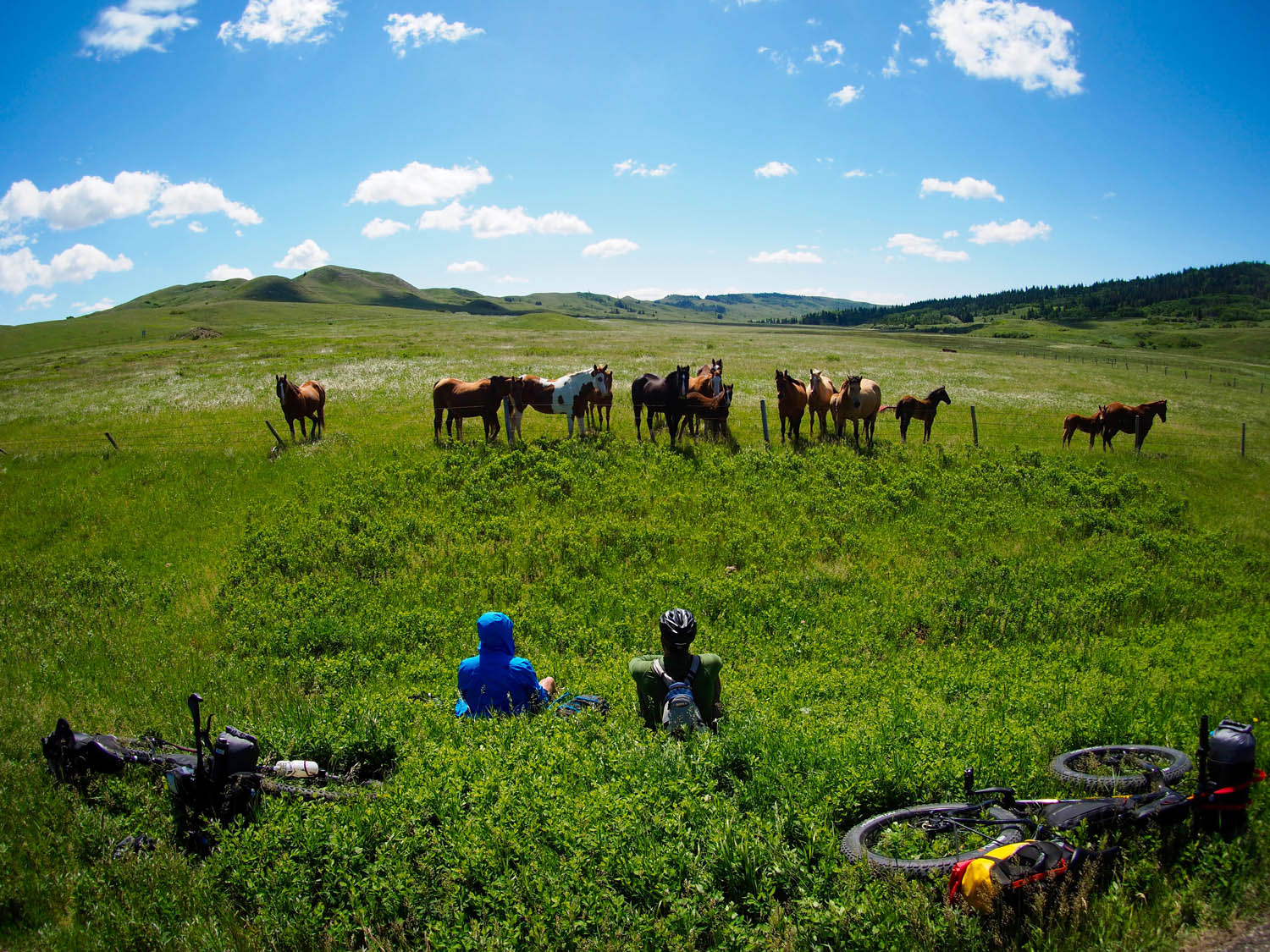
Too tired to take advantage of the Dark-Sky Preserve the previous night, we awoke on day three a little apprehensive of weather conditions. After hearty breakfast we braved the prevailing west winds and made our way back across the Gap Road where we were lit up by a headwind-defying 90km/hr Pronghorn Antelope. On the way back to Battle Creek Campground we were consoled by a large group of roadside horses, often accompanied by curious free-range cattle and all of us landed Rainbows at an extended lunch break.
Day four started on the gravel via Graburn Road climbing up to the plateau where we found the lone “Survival Tree” which has endured sun, wind, snow, ice and even being cut down in the year 1900. The irony of this monument on the open highland was surreal, as we all knew of the 1873 Cypress Hills Massacre where 23 Assiniboine people were killed by Montana wolfers. This incident expedited the creation of the Northwest Mounted Police, later to be called the RCMP, Royal Canadian Mounted Police.
The route finished on single track, Horseshoe Canyon Trail, descending back to the Town of Elkwater and the Visitor Centre where a variety of smoked meats, “smashed salad” and craft beer were waiting.
Additional Resources
- Cypress Hills Provincial Park – Link
- Camp cookhouse and general store – Link
- Camping and backcountry huts on the Alberta side – Link
- Camping on the Saskatchewan side – Link
- Alberta Fishing license – Link
- Saskatchewan Fishing license – Link
- Local trail maps – Link
- Provincial park map – Link
- Map of the whole interprovincial area – Link
- Trans-Canada Trail – Link
- Local mountain biking club – Link
- Geology fact sheet about the Cypress Hills – Link
- Historic Reesor Ranch – Link
- Resort at Cypress Hills – Link


Terms of Use: As with each bikepacking route guide published on BIKEPACKING.com, should you choose to cycle this route, do so at your own risk. Prior to setting out check current local weather, conditions, and land/road closures. While riding, obey all public and private land use restrictions and rules, carry proper safety and navigational equipment, and of course, follow the #leavenotrace guidelines. The information found herein is simply a planning resource to be used as a point of inspiration in conjunction with your own due-diligence. In spite of the fact that this route, associated GPS track (GPX and maps), and all route guidelines were prepared under diligent research by the specified contributor and/or contributors, the accuracy of such and judgement of the author is not guaranteed. BIKEPACKING.com LLC, its partners, associates, and contributors are in no way liable for personal injury, damage to personal property, or any other such situation that might happen to individual riders cycling or following this route.
Please keep the conversation civil, constructive, and inclusive, or your comment will be removed.