


Bikepacking Big Bend: The Other Side of Nowhere
Distance
90 Mi.
(145 KM)Days
3
% Unpaved
100%
% Singletrack
50%
% Rideable (time)
96%
Total Ascent
6,388'
(1,947 M)High Point
4,605'
(1,404 M)Difficulty (1-10)
6?
- 5Climbing Scale Moderate71 FT/MI (13 M/KM)
- -Technical Difficulty
- -Physical Demand
- -Resupply & Logistics
Contributed By

Logan Watts
Founding Editor
It’s a long drive down to this remote border region of Far West Texas. After miles of not much of anything, you’ll round a corner to be greeted by the beautiful, jagged vista of the Chisos Mountains. Fittingly, the base camp town for the route is a tiny and quirky desert hamlet called Terlingua Ghost Town, nestled beside one of only two national parks the Lone Star State has to offer: Big Bend National Park.
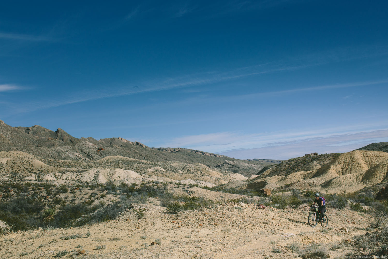
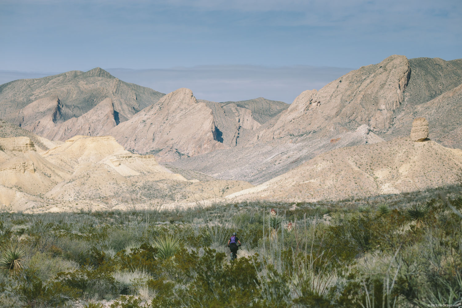
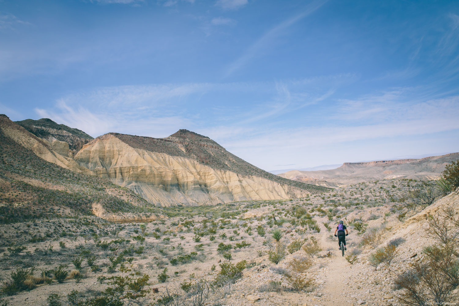
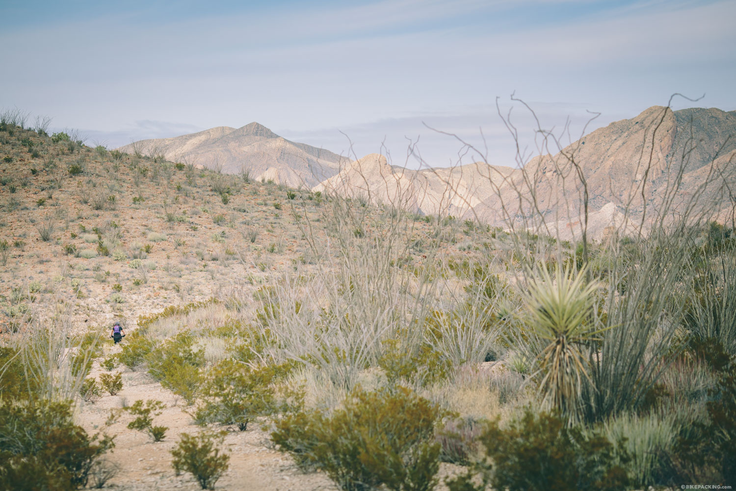
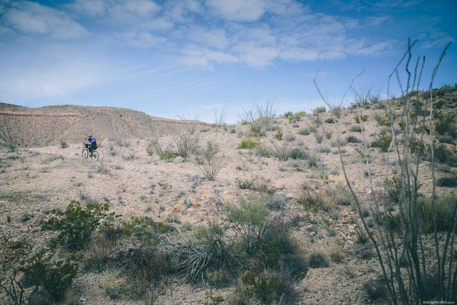
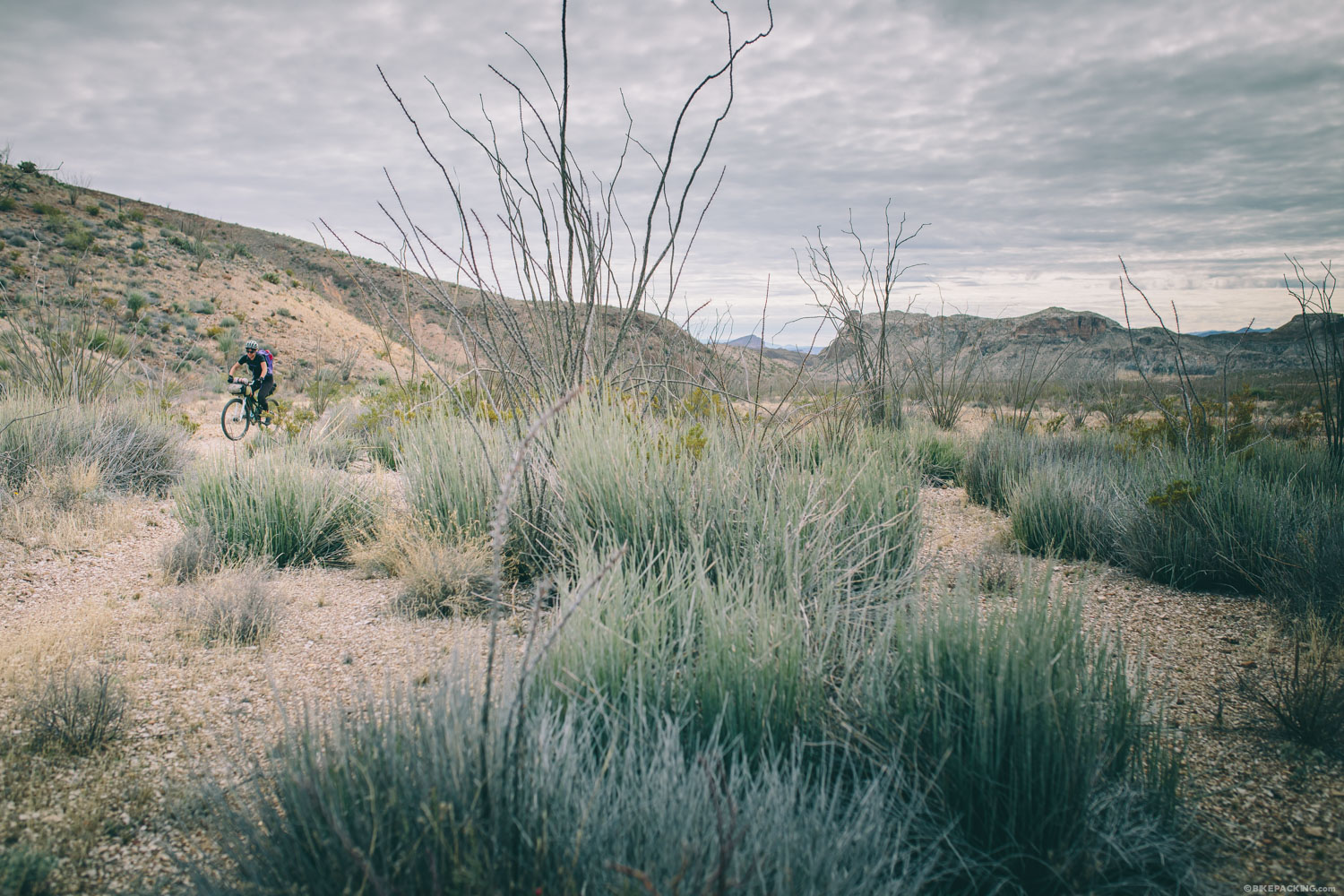
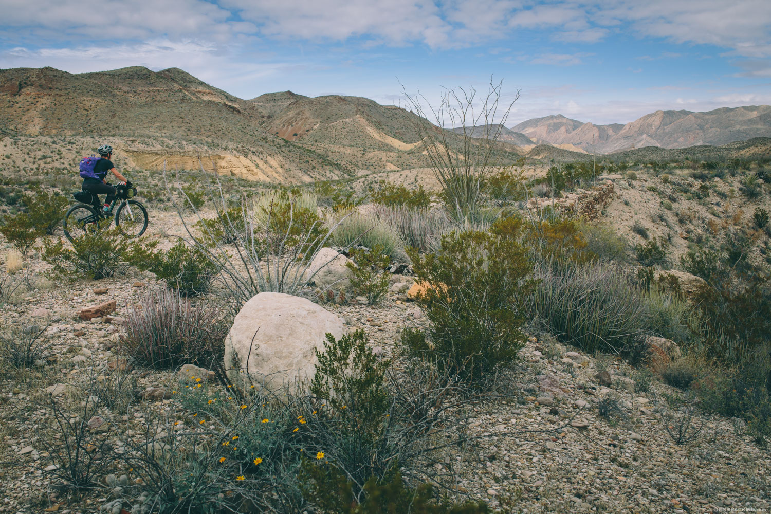
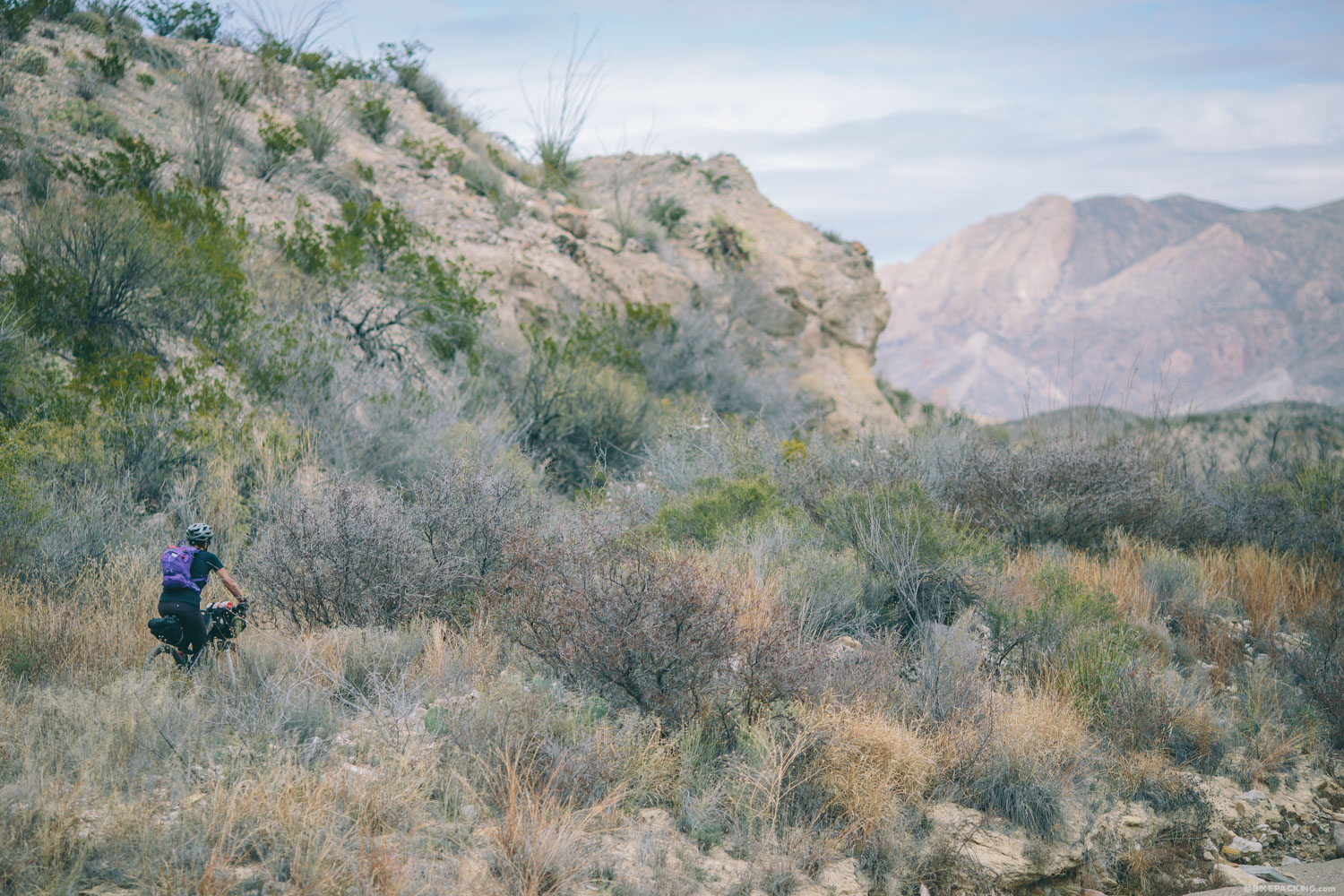
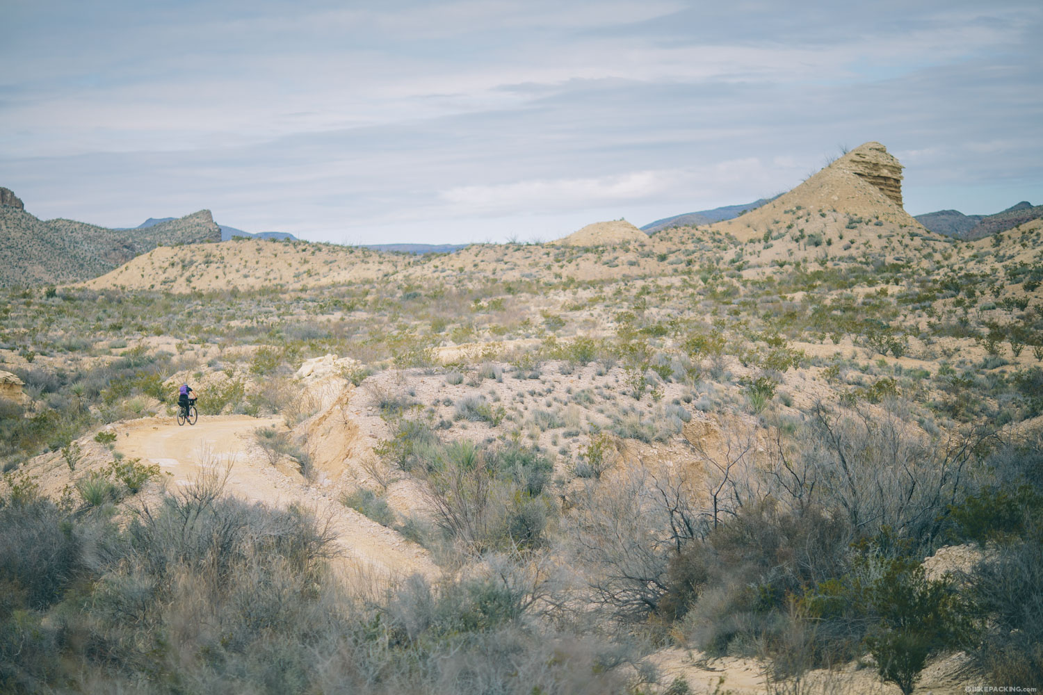
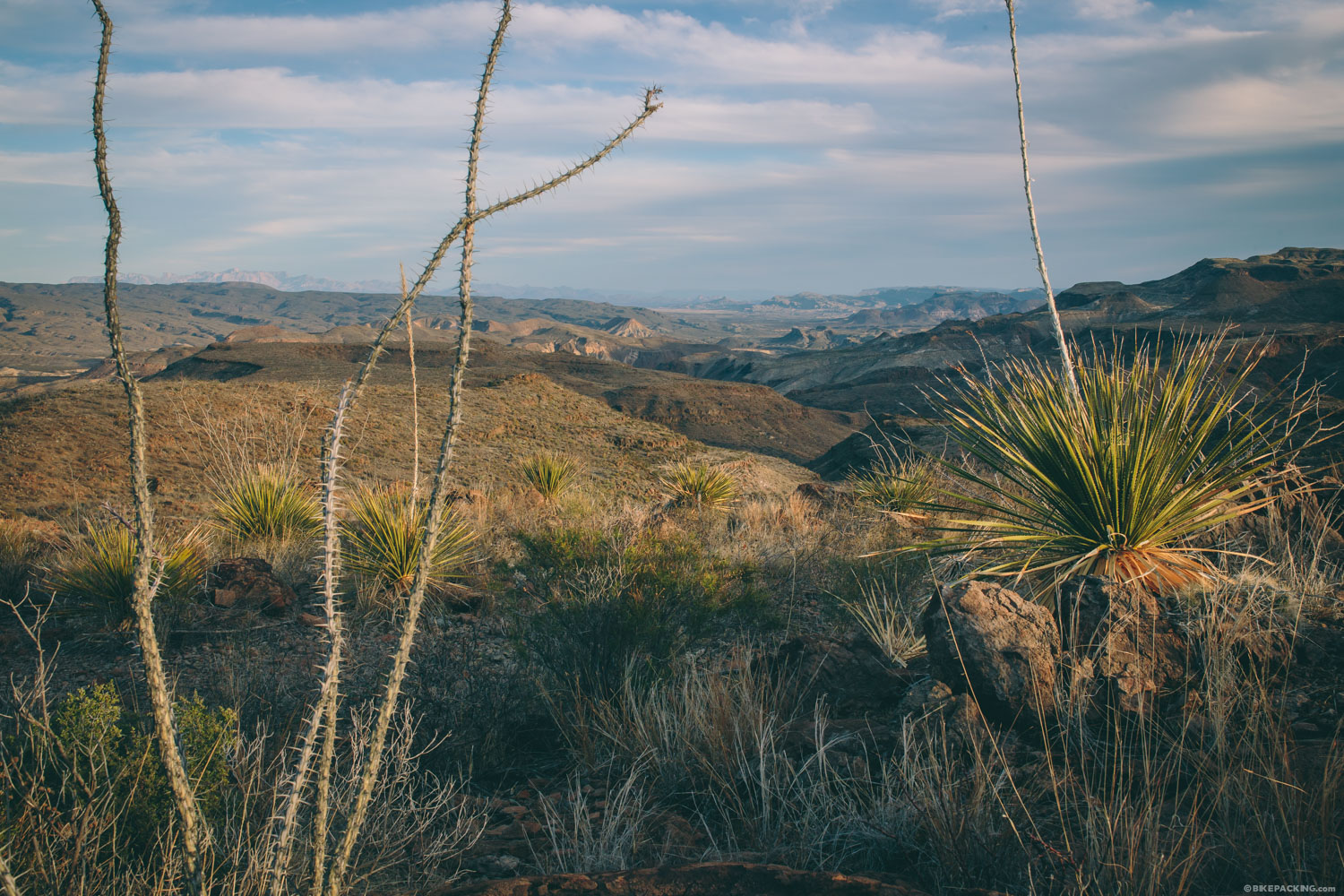
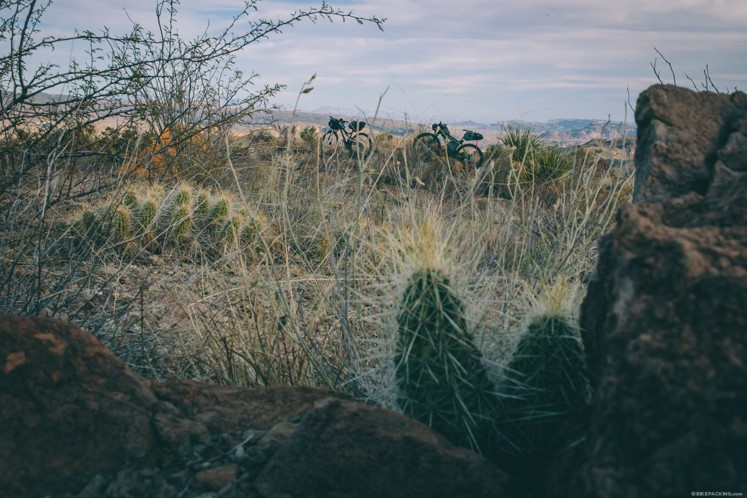
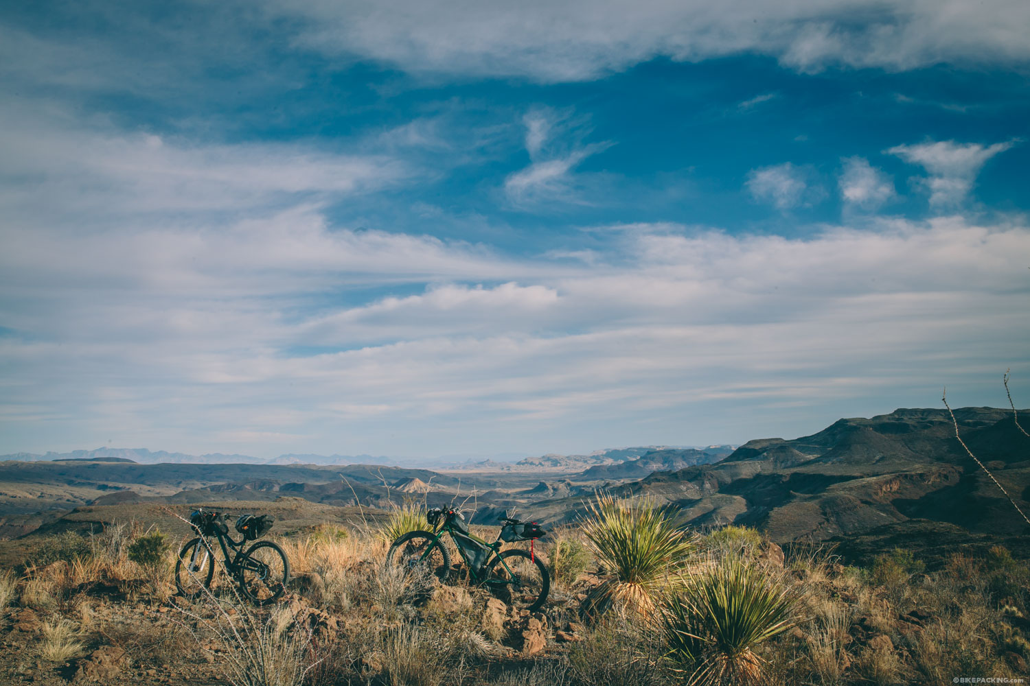
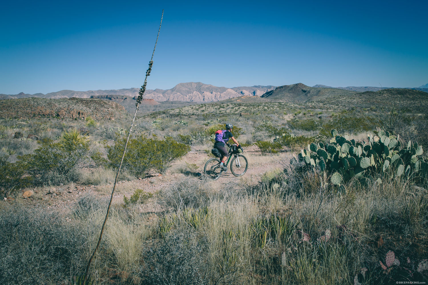
While Big Bend NP’s dramatic landscape is certainly worth a visit, its neighboring hermanito, Big Bend Ranch State Park, is the place that draws mountain bikers, with it endless stretches of singletrack and epic jeep trails. The relatively new park is laced with 230+ miles of rideable off-road tracks, an IMBA Epic, and countless options for backcountry camping. The former working ranch is spread over a beautiful 300,000+ acre tract of Chihuahuan desert canyonlands carved by the Rio Grand.
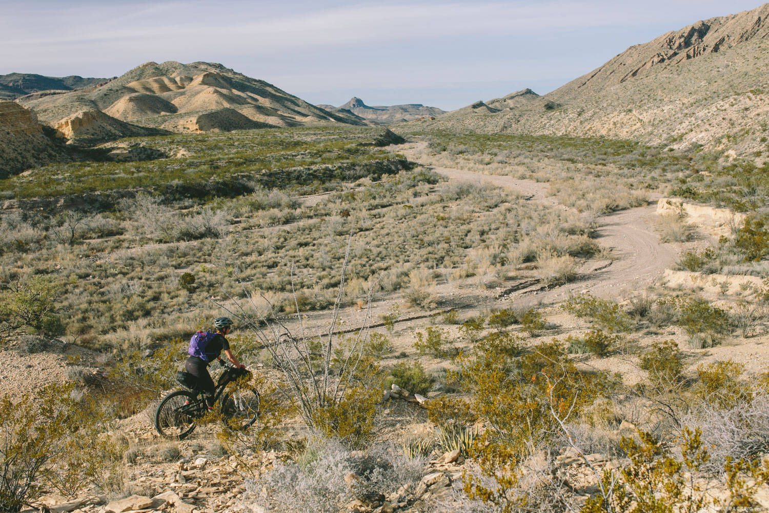
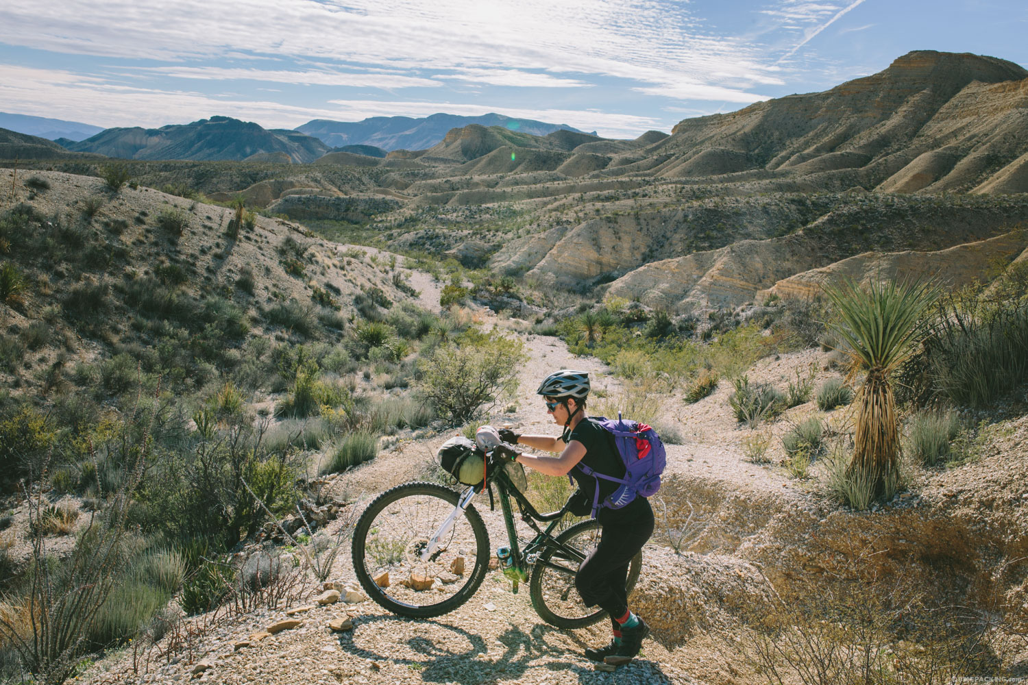
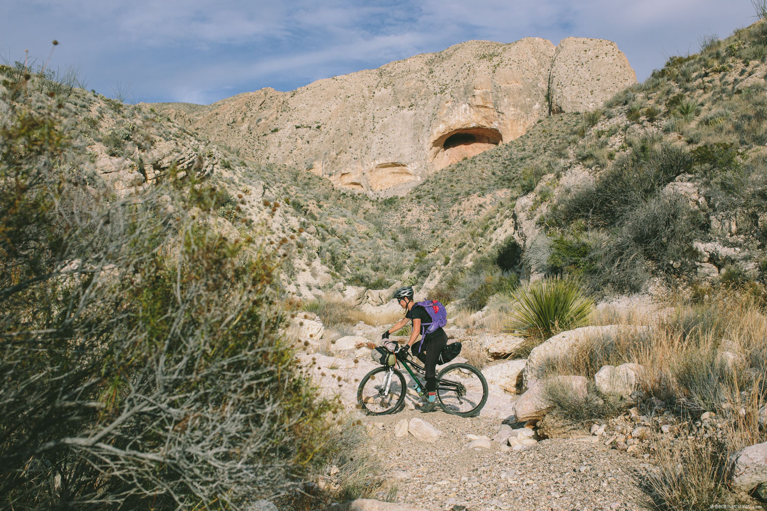
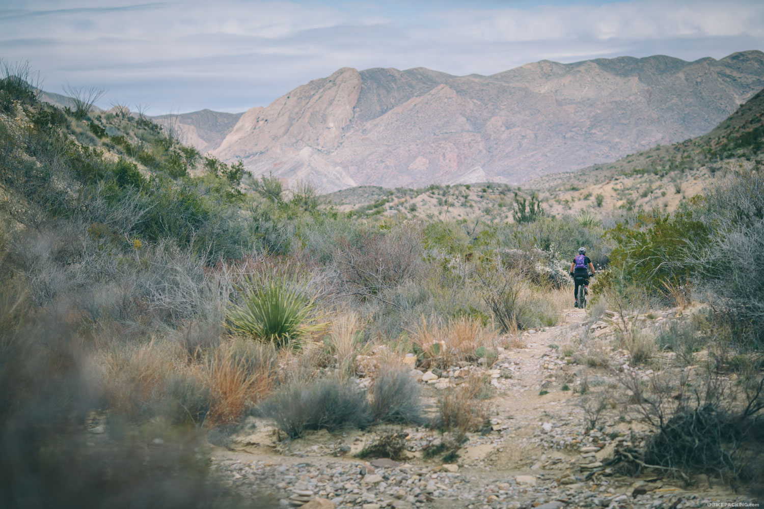
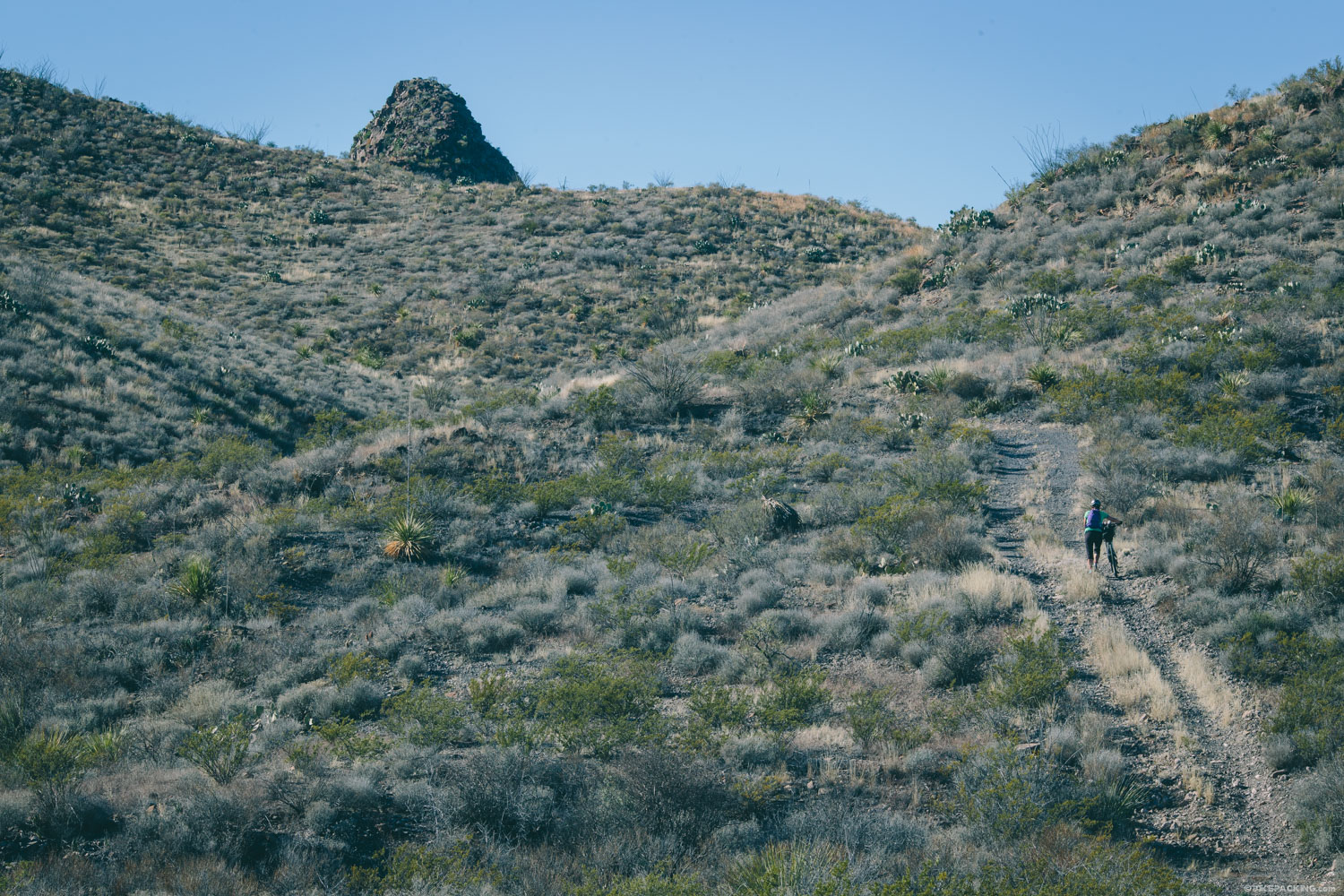
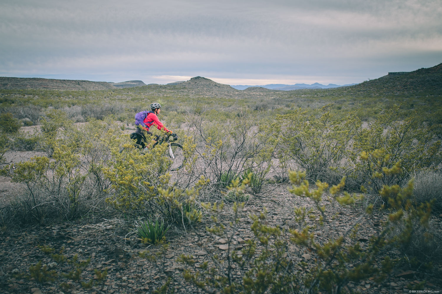
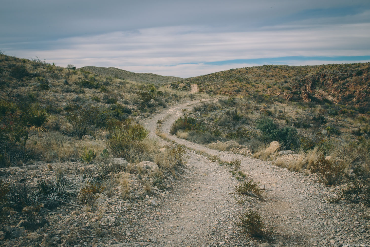
Most of the park sit between 2,500 and 5,500 feet in elevation. Although the trails are based on old jeep roads, the park has been nurturing mountain biking as a salient activity, and there are now great stretches of well-hewn singletrack, most notably the Contrabando Dome Loop. The riding surface ranges from smooth and fast lines to technically rough and rocky features. There are long and flowing sections, as well as tight thorny areas with periodic ledges and dips into sandy and loose rock washes. These amazing desert trail conditions can throw a bit of everything your way.


Submit Route Alert
As the leading creator and publisher of bikepacking routes, BIKEPACKING.com endeavors to maintain, improve, and advocate for our growing network of bikepacking routes all over the world. As such, our editorial team, route creators, and Route Stewards serve as mediators for route improvements and opportunities for connectivity, conservation, and community growth around these routes. To facilitate these efforts, we rely on our Bikepacking Collective and the greater bikepacking community to call attention to critical issues and opportunities that are discovered while riding these routes. If you have a vital issue or opportunity regarding this route that pertains to one of the subjects below, please let us know:
Highlights
Must Know
Camping
Food/H2O
Trail Notes
Resources
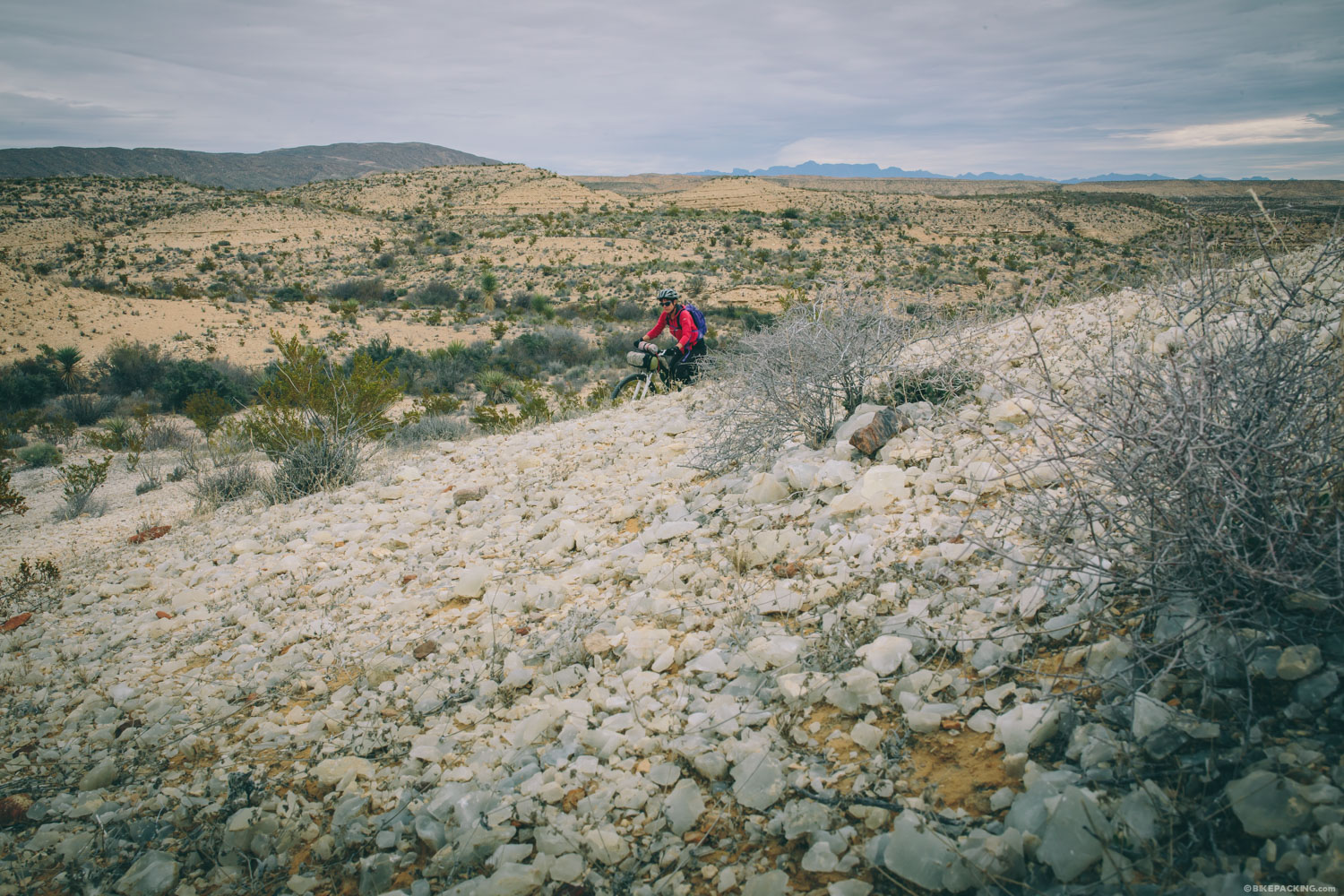
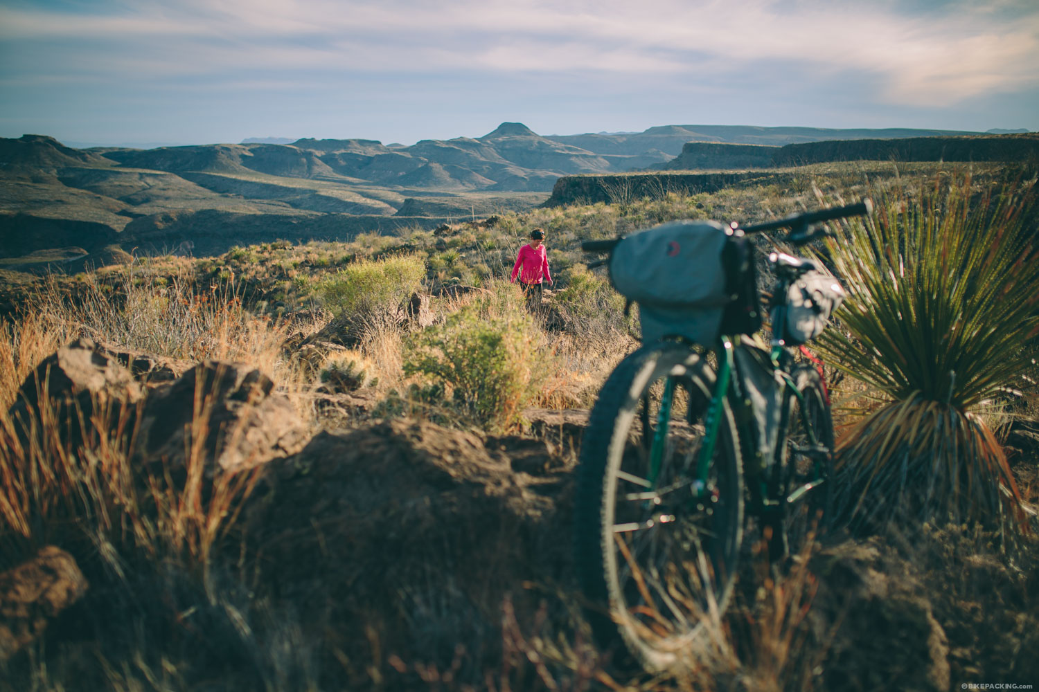
- Epic singletrack: Crystal Trail and the Contrabando Dome Loop.
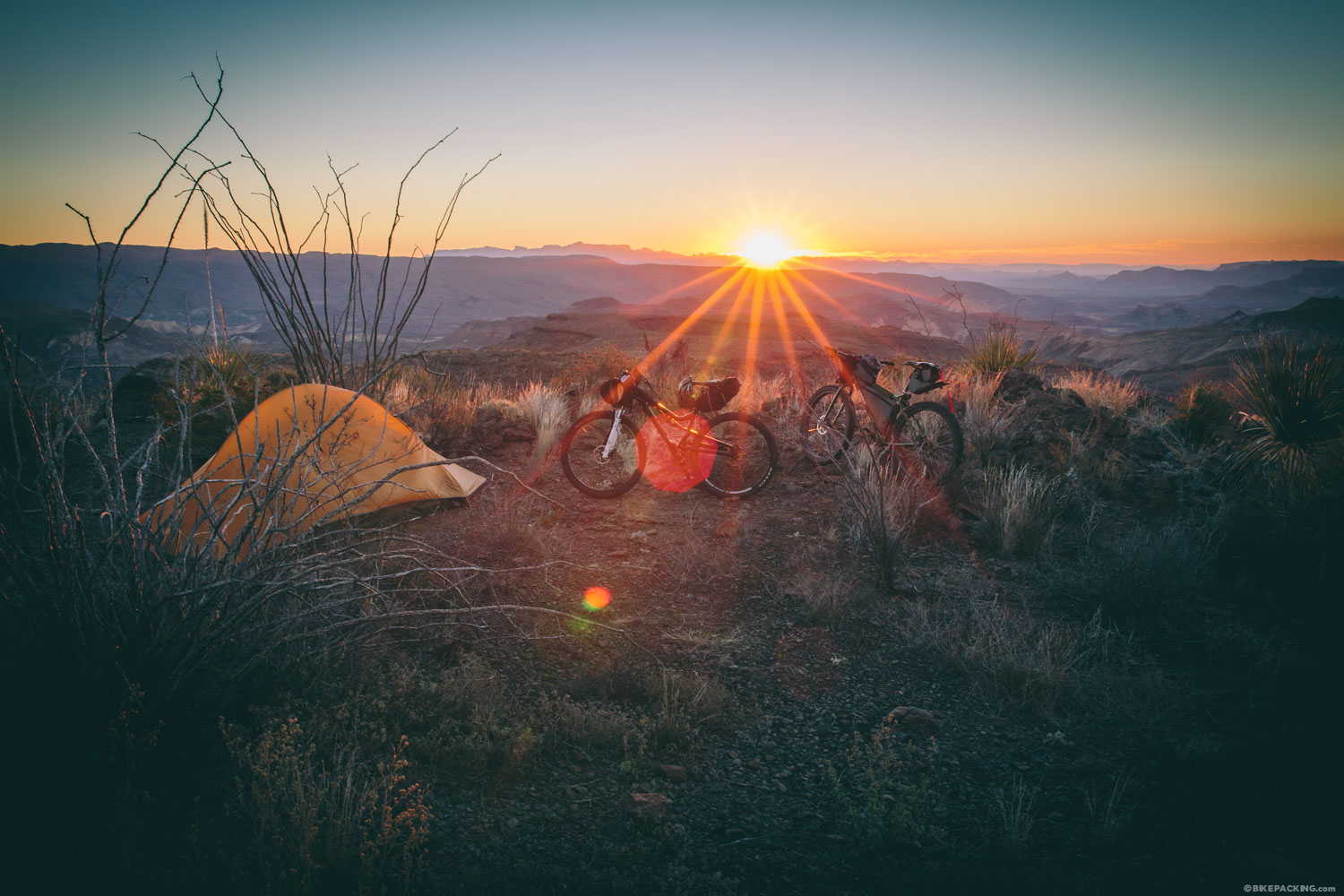
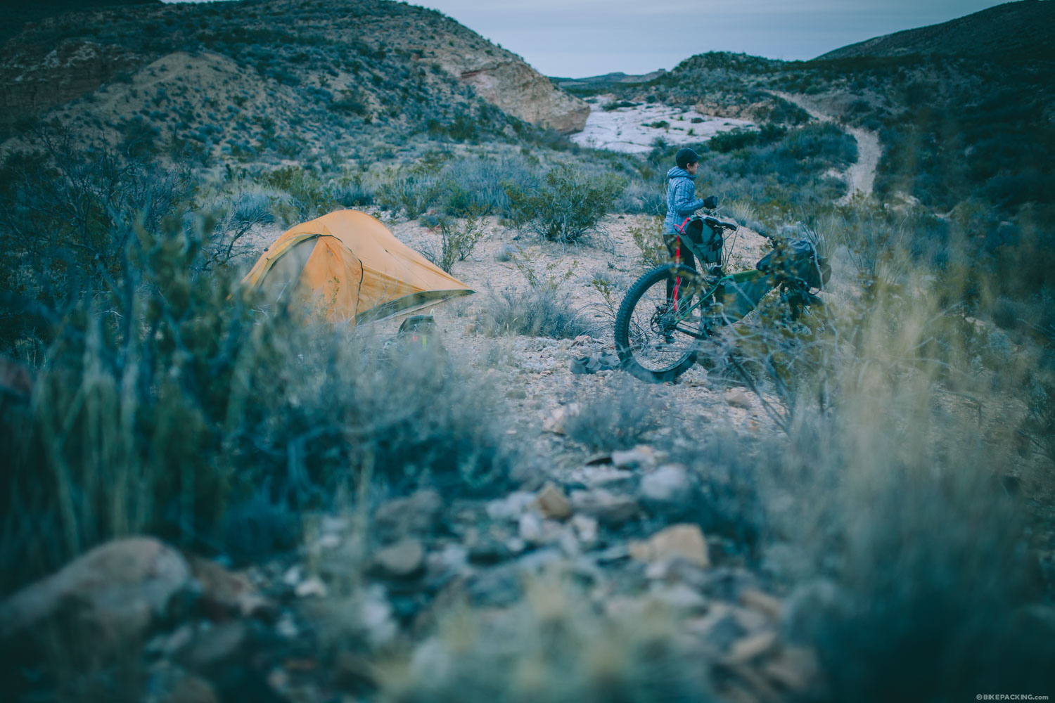
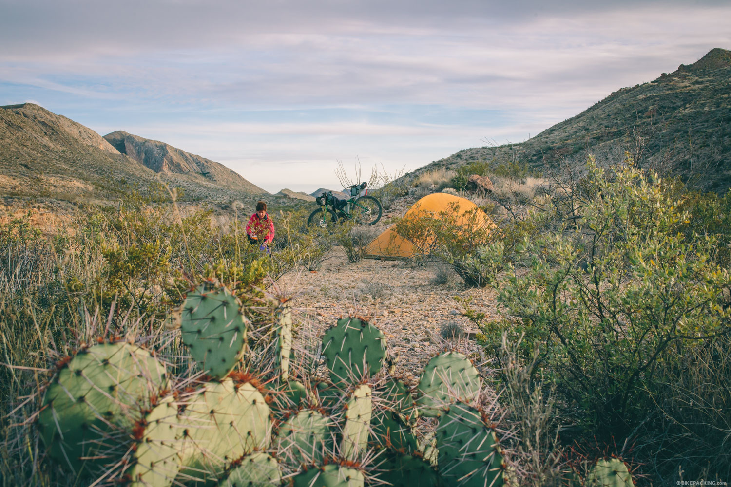
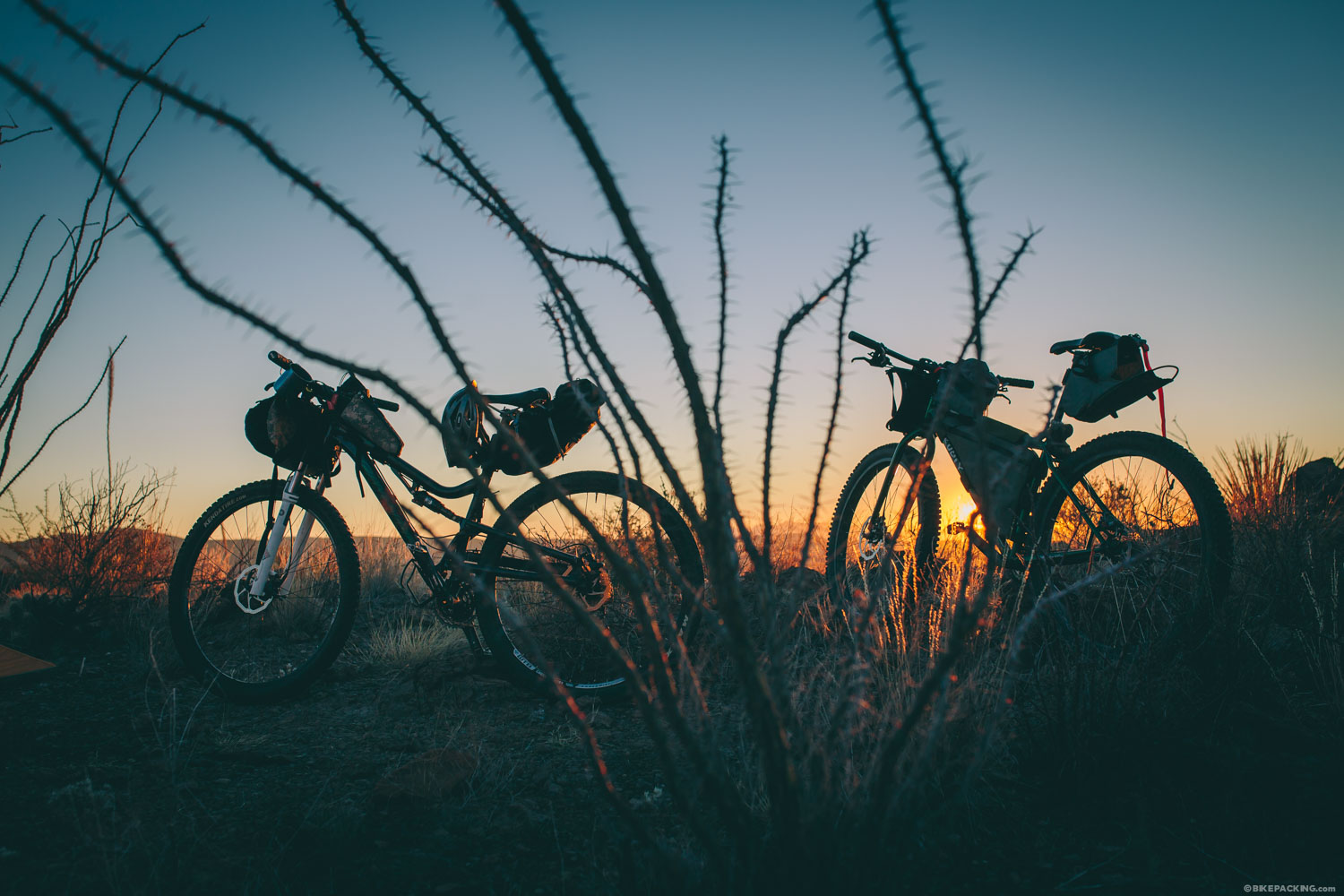
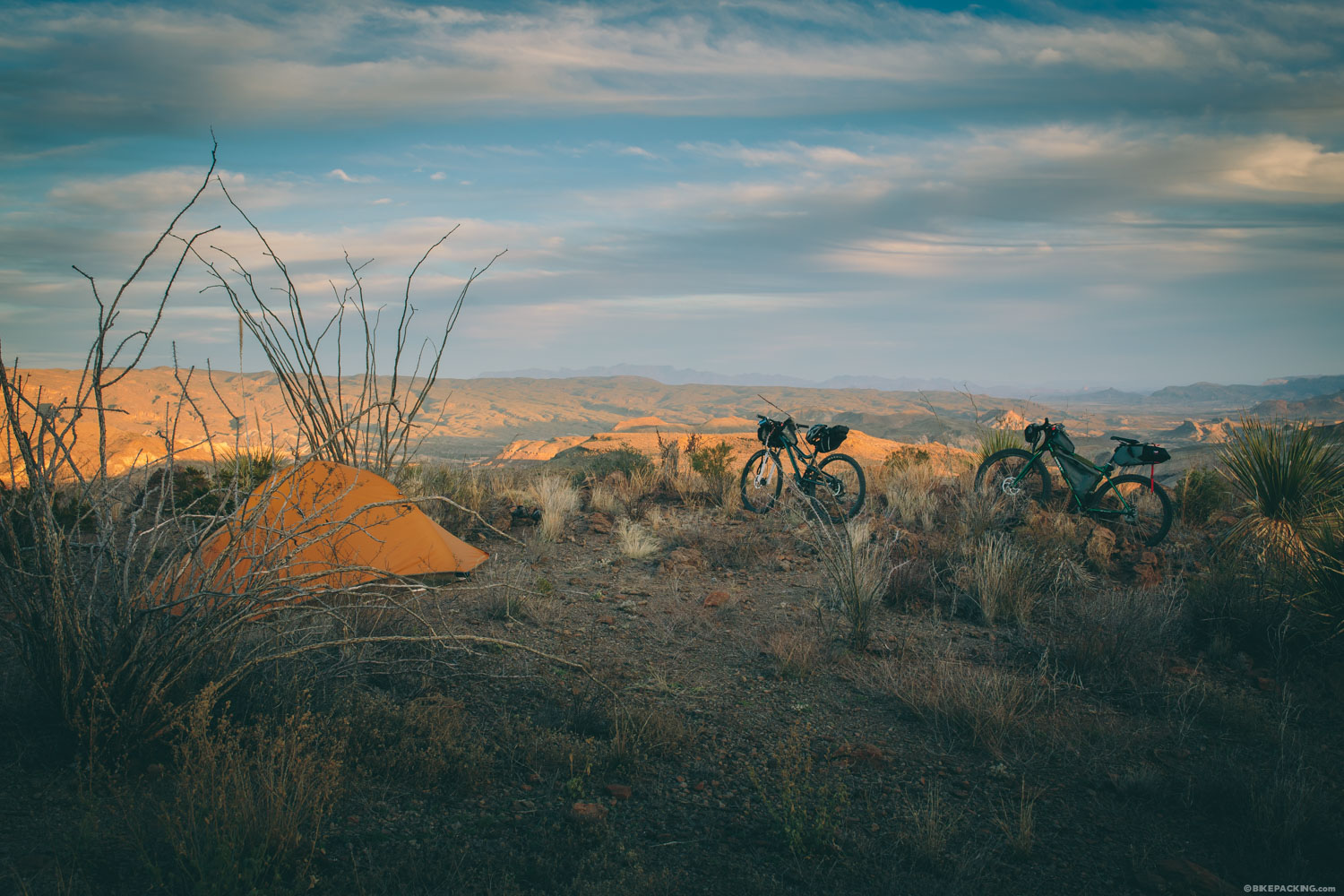
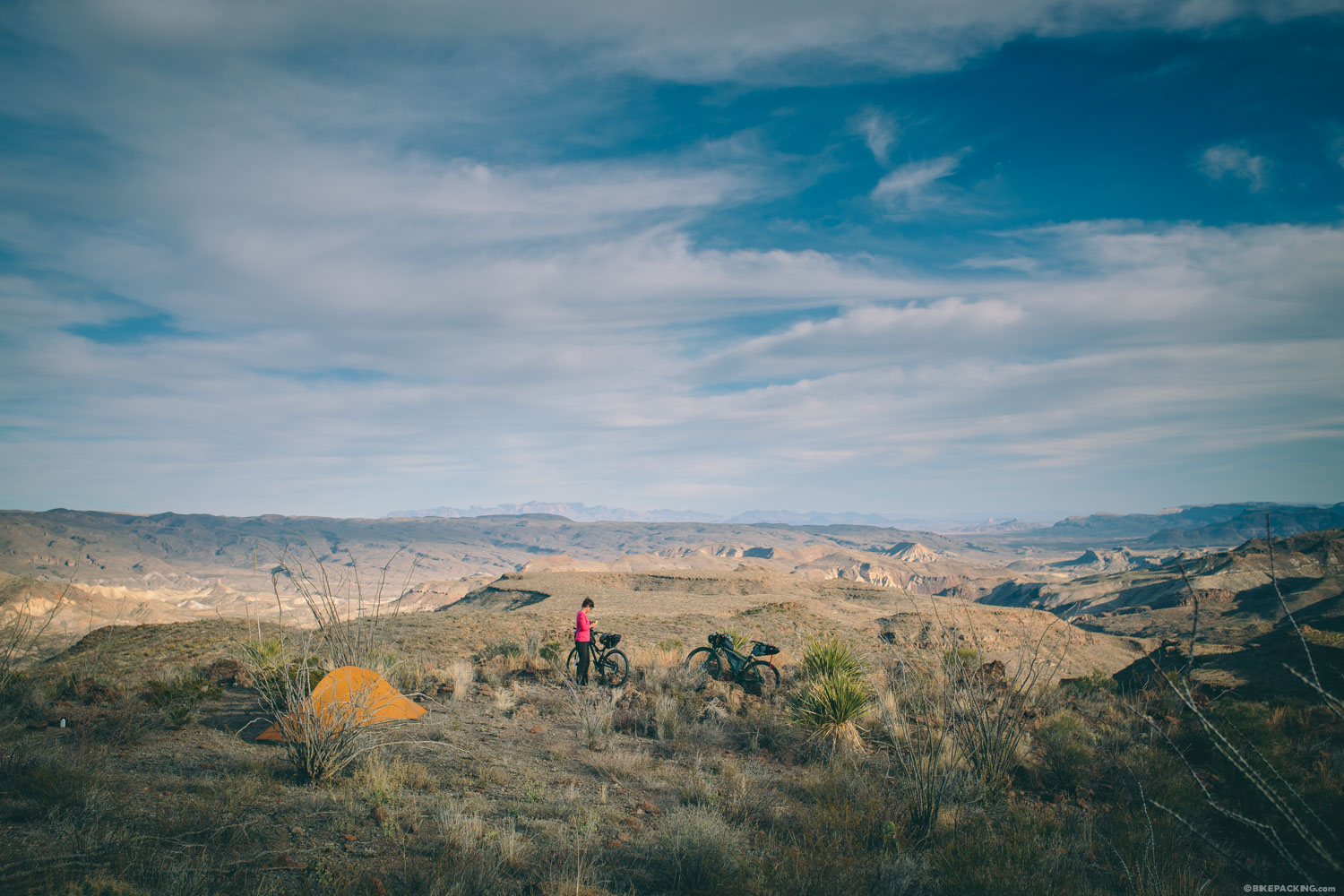
- Zone camping near Chorro Vista with unbelievable views. #leavenotrace
- Interesting flora and fauna in the Chihuahua Desert.
- The remote roads of El Solatario.
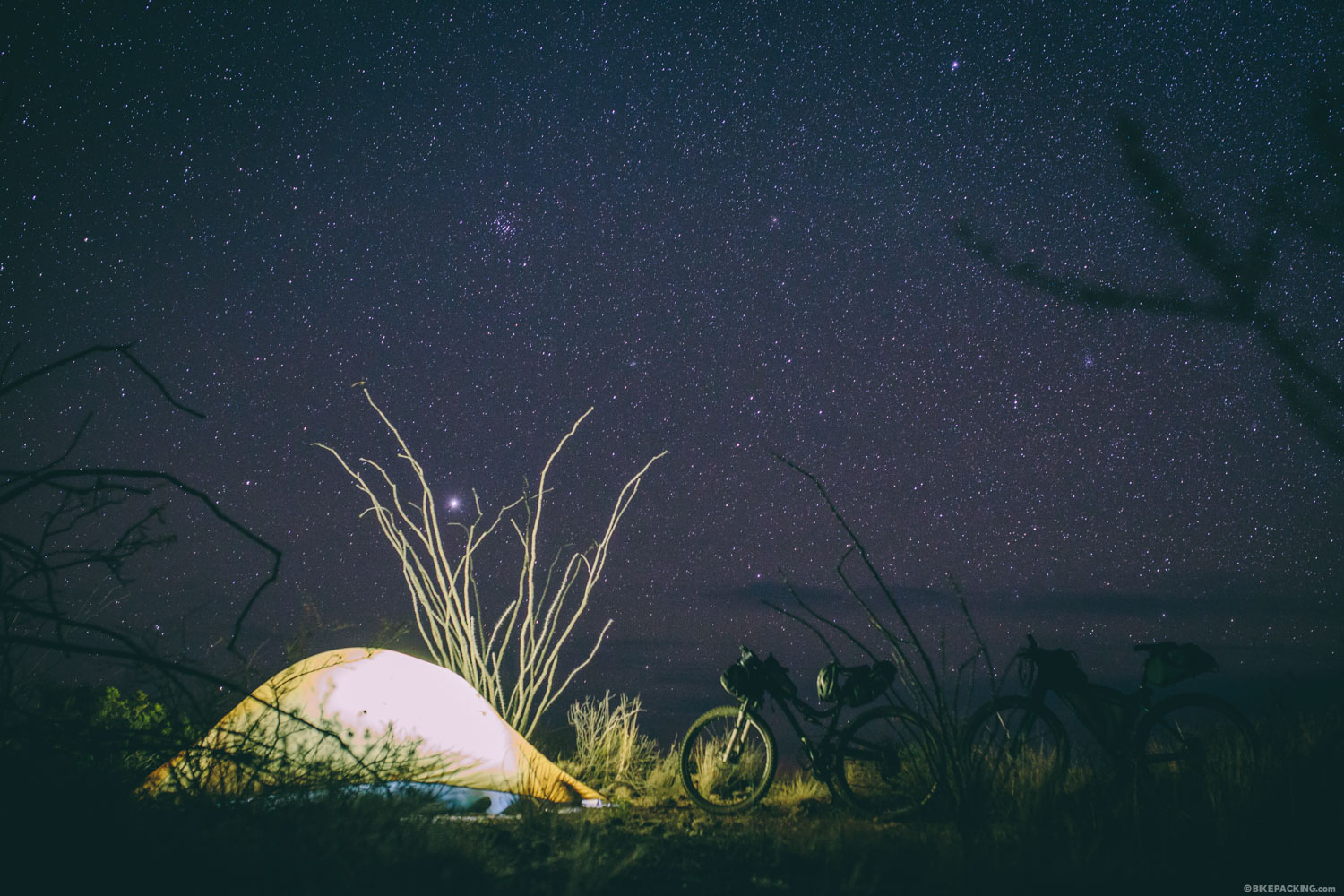
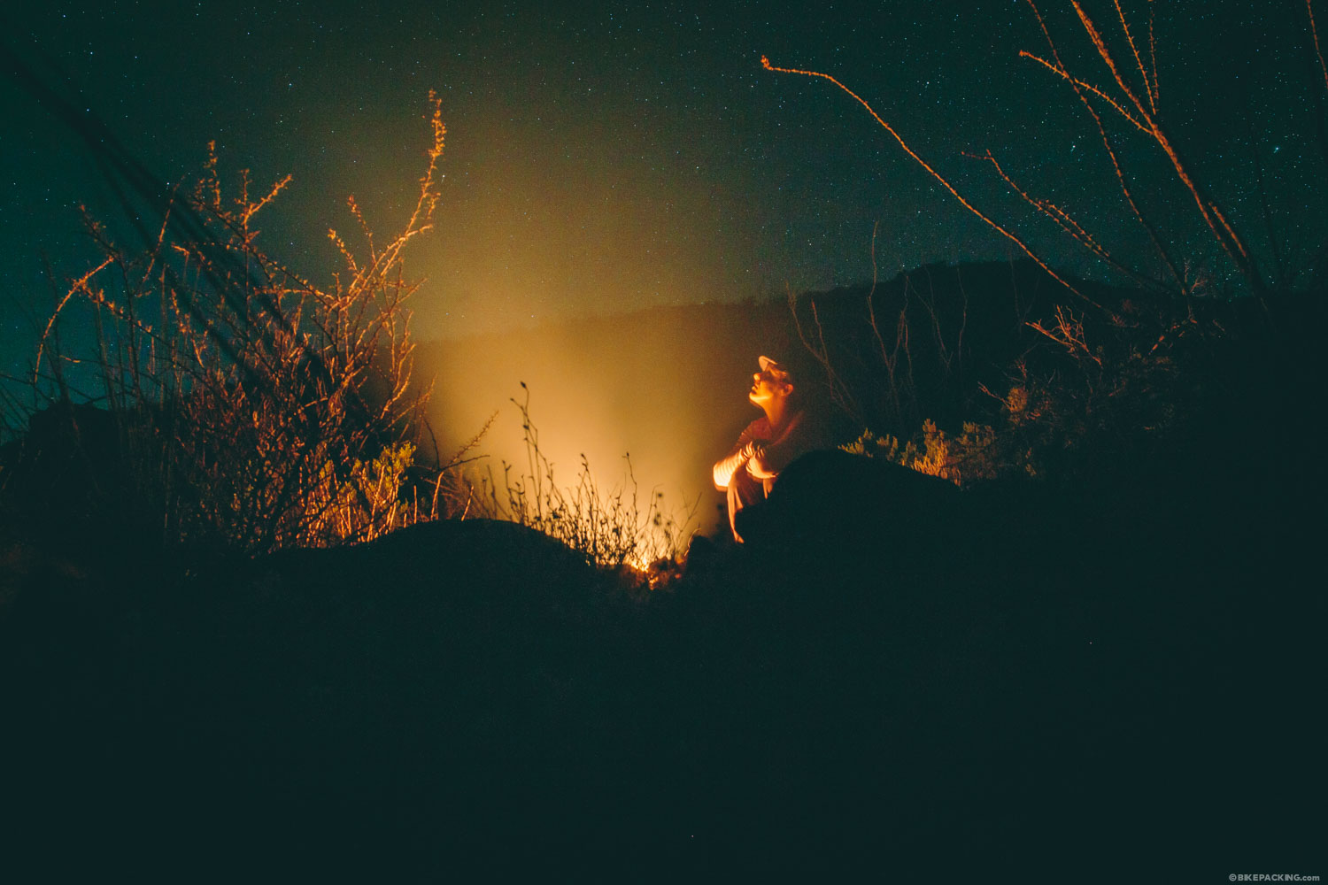
- The utter silence and immense, starry skies.
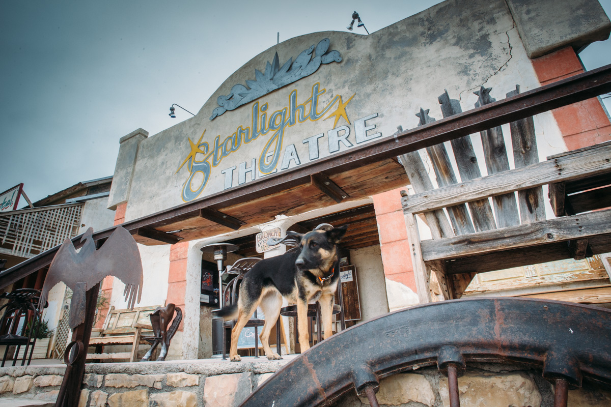
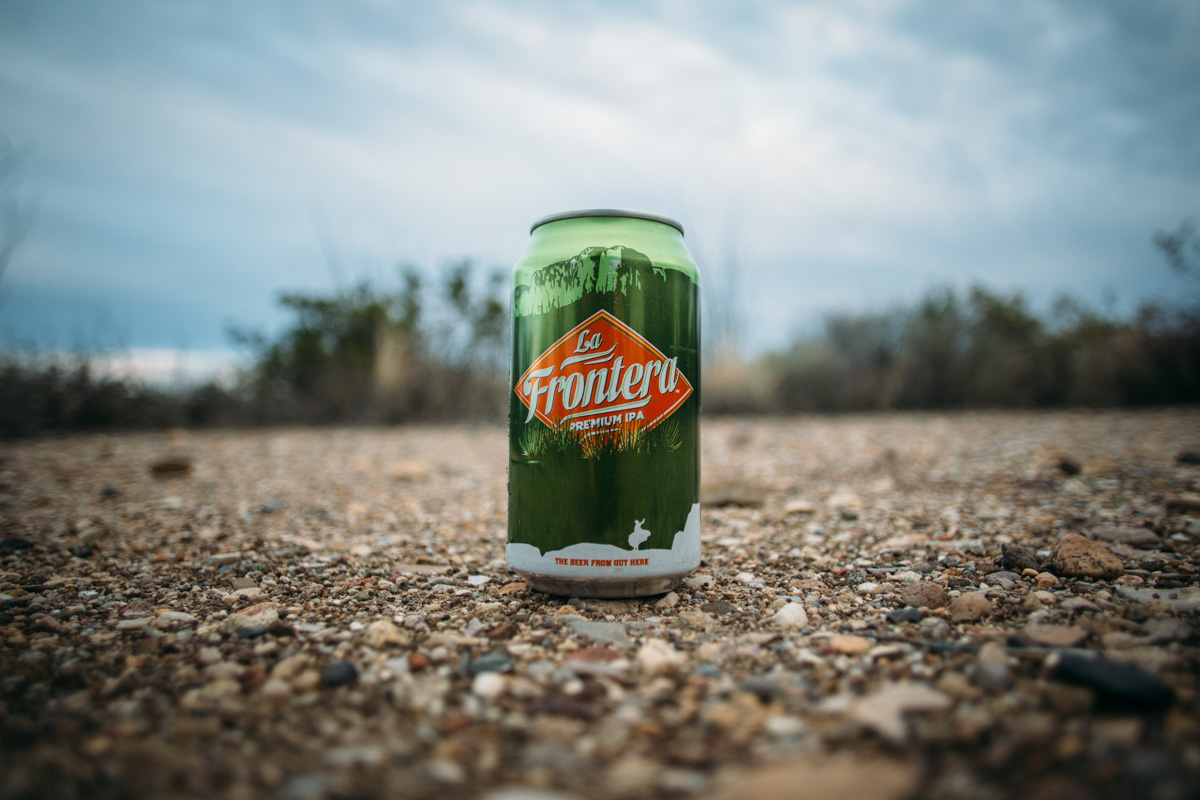
- A post-ride beer on the porch the Terlingua Trading Post next to the Starlight Theater. Try a Big Bend Frontera IPA.
When To Go
- Temperatures in Big Bend can fluctuate by as much as 40 degrees in a single day. We were there in January, and it was 80 degrees one day and below 40 the same night.
- Weather can turn on a dime. If there’s significant rain, the mud can become overwhelming, almost like concrete on a bike. Check the five-day forecast before setting out.
- This route is probably best ridden in spring or fall, although the winter months can be great if timing is right and you don’t mind sub-freezing nights.
Logistics
- There are free printed maps available at the Barton Wornock State Park welcome center. Also, you can buy a nice weatherproof foldable map for $6.
- The Barton Wornock park station is where you’ll pay the State Park daily entrance fee (waived if you have the TX State Park Card) of $3 per day. The park allows extended parking here for bikepackers and the station is conveniently located beside the East Contrabando Trailhead.
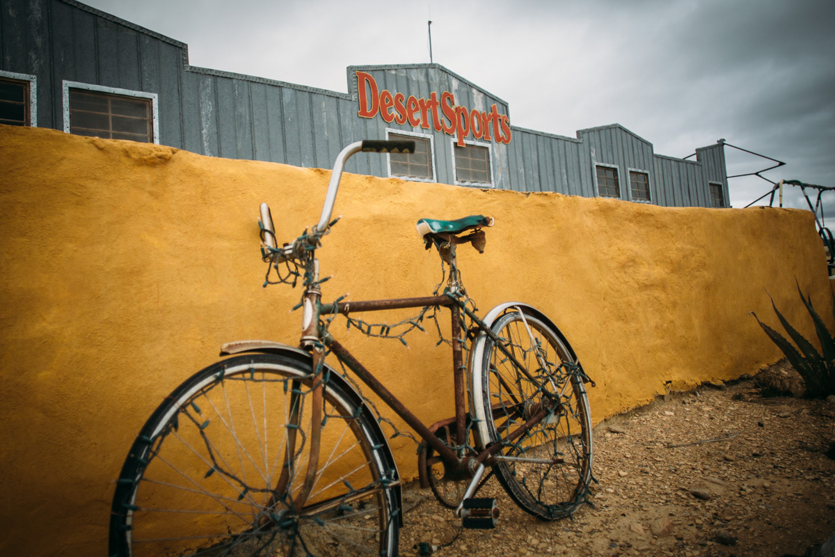
- The local bike shop in Terlingua is called Desert Sports. Stop in before your ride and talk to Mike.
Dangers and Annoyances
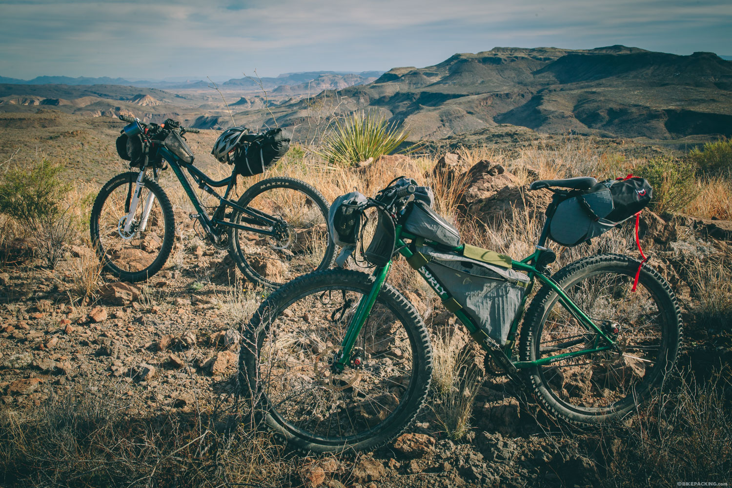
- This route can be ridden with any mountain bike, however, a tubeless setup is highly recommended. There are spiny plants everywhere and flats are a regular occurrence in this part of the world. Be sure to pack a few spare tubes and a patch kit.
- Water is scarce; before you set out, talk to a ranger about which tanks are active.
- For staging, there are several camping options. The most affordable is the state park camping about 10 miles from the Barton Warnock Park Headquarters. Sites are $8 with a basic composting toilet; no running water.
- The State Park requires a daily entrance fee (waved if you have the TX State Park Card) of $3 per day. Also, a backcountry camping fee of $5 per site per day is required.
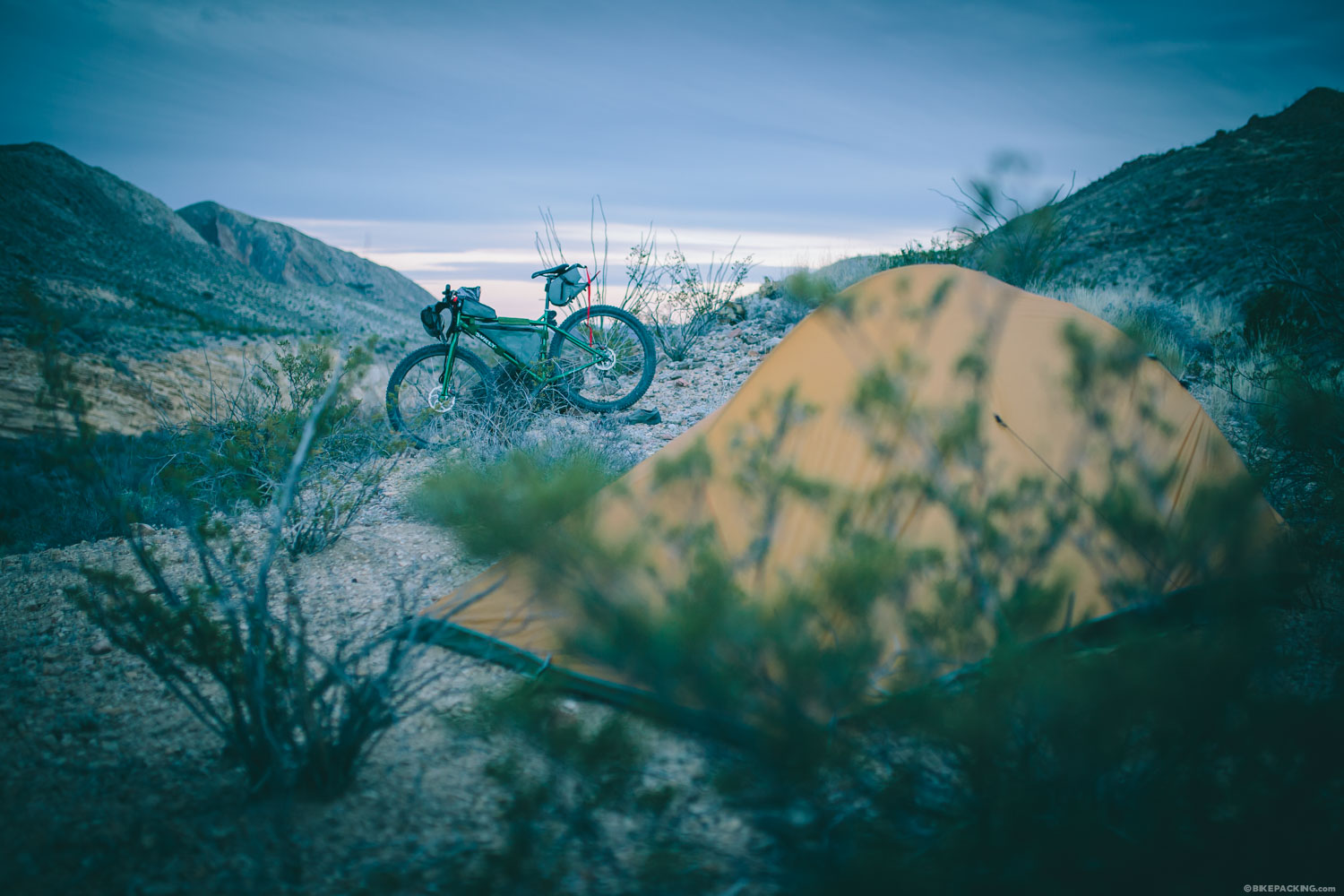
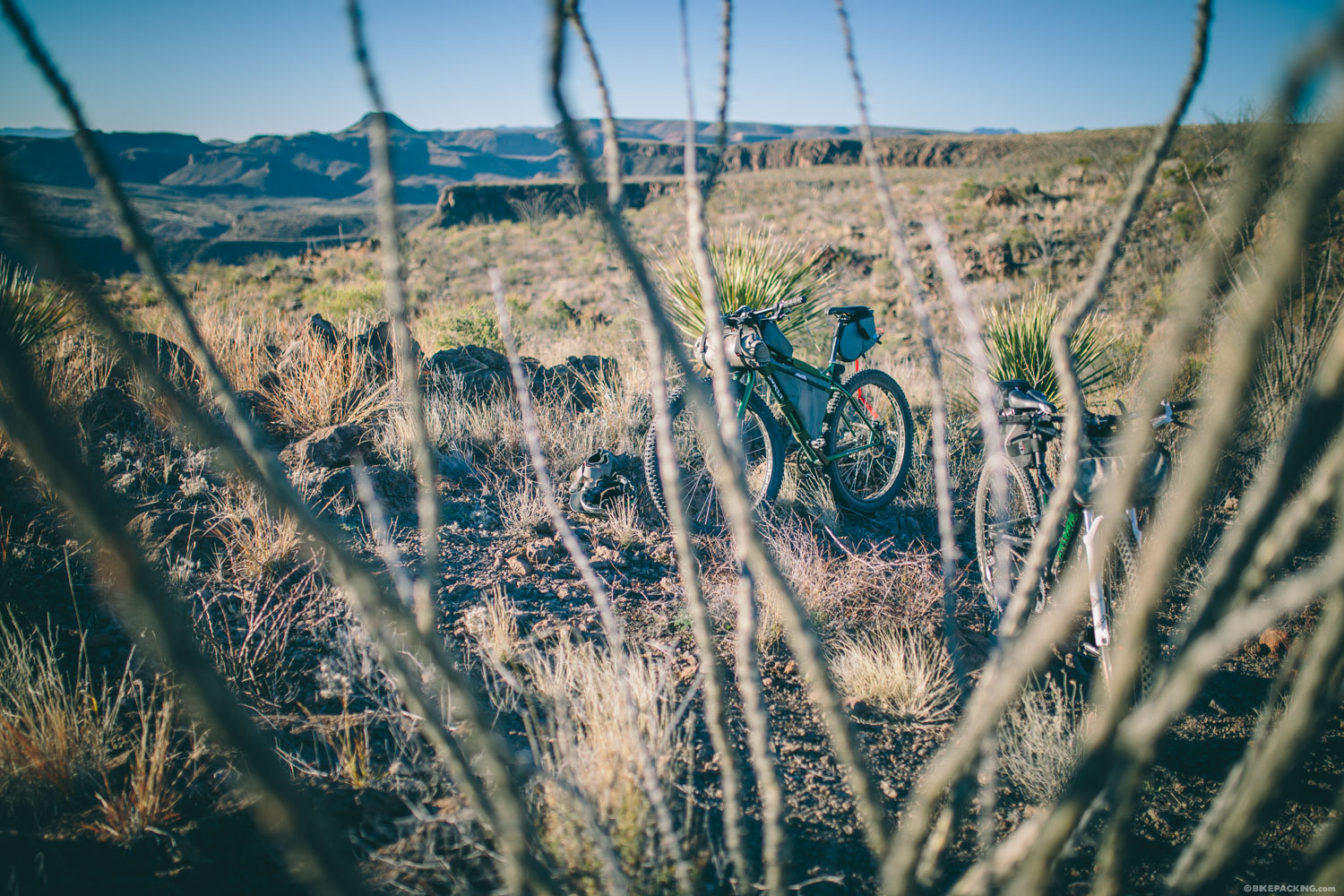
- Zone camping is now required, which means that sites need to be away from existing backcountry sites (of which there are only a few) by 1/4 mile.
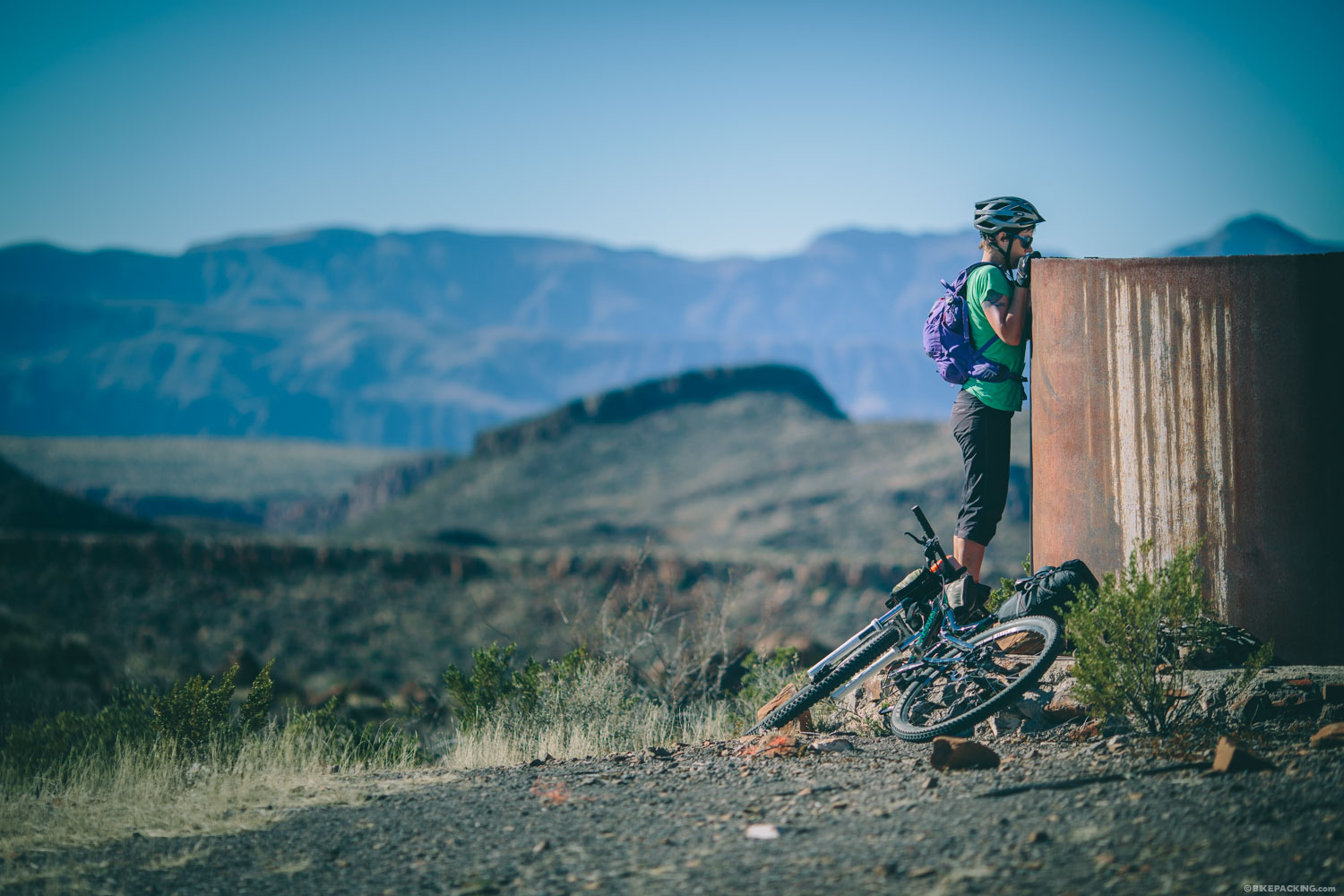
- There are free hot showers at the remote Sauceda station, about halfway through the route. Also, they have dorms available in a former hunting lodge.
- All of your food must be packed, although the remote backcountry Suaceda Ranger Station sells Cokes and a few snacks.
- Water is slightly tricky. There are several tanks/wells along the route, but most were dry when we were there, except for the large tank at Tres Papalotes on the Solitario loop. There is running water at mile 49 (Papalote Encino) and Sauceda. Also the Madrid House spring was flowing very well, but requires filtration. Before you set out, check with the ranger station to find out which tanks are full.
OUR ROUTE
Day 1: The four day route featured in the Big Bend Ranch Ride Guide suggests an initial 22-mile pedal that ascends into the park through the stunning Fresno Canyon, around the Rincon Trail, and breaks for camp in the vicinity of the Pila Montoya backcountry campsites. We chose to ride all of the singletrack spurs up the canyon and it was well worth the extra effort. We found a nice spot to camp on a ridge that would catch the first rays of sun after a 30 degree night. The park has recently instantiated a bucket toilet rule for backcountry camping, so bikepackers are encouraged to use a zone camping rule (away from designated backcountry sites).
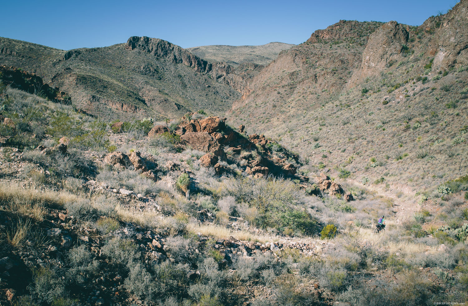
Day 2: We started up the Pila Montoya section of trail and quickly tackled the loop around The Solitario, an amazing and remote network of rugged jeep trails that climb over rocky desert and descend through washes. Both the inner loop and outer loop trails in the southwestern corner of The Solitario are pretty rugged, but right now the Inner Loop is in better shape, save a long hike-a-bike over the pass. Leaving The Solitario, we found a camp spot near Papalote Encino and awoke to a bluebird day.
Day 3: Day 3 was a short day of only 16 miles as we found an amazing zone campsite near Chorro Vista. The site had near 360 degree views of the Rincon mountains, Fresno Canyon, and the Chisos Mountains of Big Bend National Park, a great spot to relax and marinate in the view.
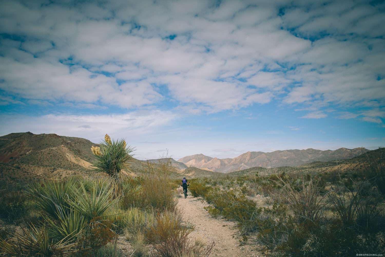
Day 4: We left camp and rode down rugged tracks that quickly devolved to fast singletrack and led to the Madrid House and spring. The desert came to life around the spring, and we welcomed the shade of the first trees we’d seen in days. Our route was capped off with a counter-clockwise, blazing fast ride around the Contrabando Dome Trail. On the way back to the Barton Warnock Center, we revisited the Crystal Trail and Dog Cholla with grins on our faces.
Difficulty
This route is not terribly difficult. The elevation profile is fairly standard and the terrain is mixed. There are a couple of technical sections that may require hiking for intermediate riders.
Rideability
Most of this route can be pedaled, save a couple of techy places. If you’re riding skinnier tires (less than 3″), the there are a few stretches of soft sand washes that will more than likely have to be walked.


Terms of Use: As with each bikepacking route guide published on BIKEPACKING.com, should you choose to cycle this route, do so at your own risk. Prior to setting out check current local weather, conditions, and land/road closures. While riding, obey all public and private land use restrictions and rules, carry proper safety and navigational equipment, and of course, follow the #leavenotrace guidelines. The information found herein is simply a planning resource to be used as a point of inspiration in conjunction with your own due-diligence. In spite of the fact that this route, associated GPS track (GPX and maps), and all route guidelines were prepared under diligent research by the specified contributor and/or contributors, the accuracy of such and judgement of the author is not guaranteed. BIKEPACKING.com LLC, its partners, associates, and contributors are in no way liable for personal injury, damage to personal property, or any other such situation that might happen to individual riders cycling or following this route.
Please keep the conversation civil, constructive, and inclusive, or your comment will be removed.