


Dirt Touring Araucanía: The Monkey Puzzle Trail, Chile
Distance
145 Mi.
(233 KM)Days
4
% Unpaved
93%
% Singletrack
2%
Total Ascent
16,313'
(4,972 M)High Point
6,000'
(1,829 M)Difficulty (1-10)
3?
- 7Climbing Scale Strenuous113 FT/MI (21 M/KM)
- -Technical Difficulty
- -Physical Demand
- -Resupply & Logistics
Contributed By
Skyler Des Roches
Off Route
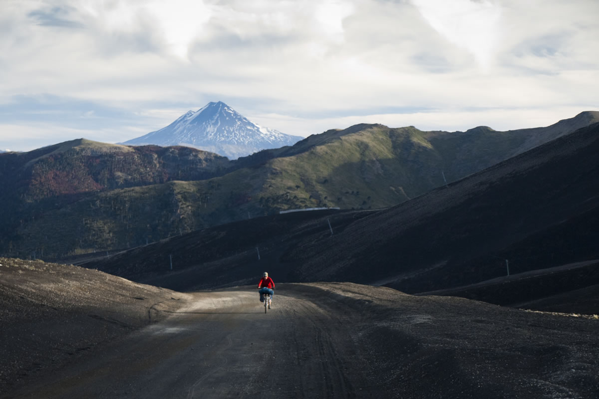
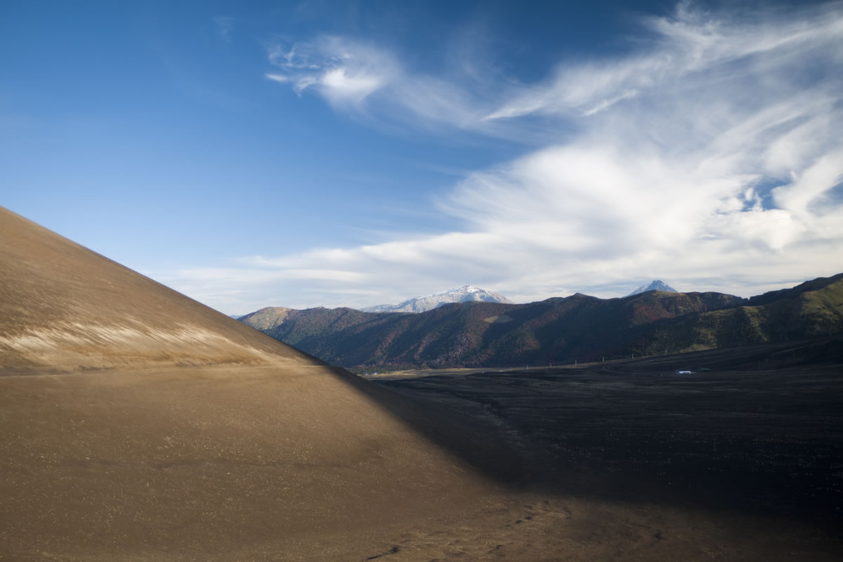
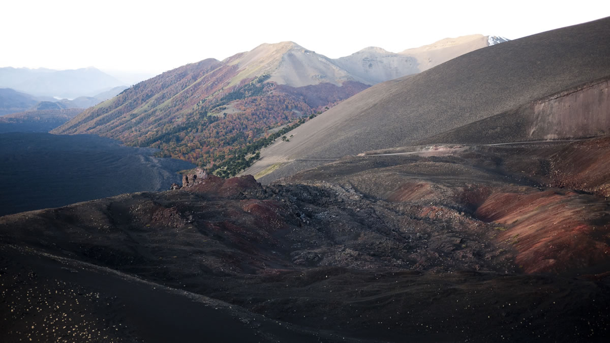
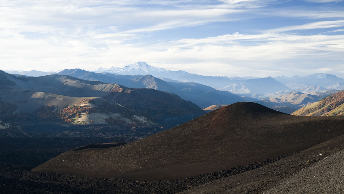
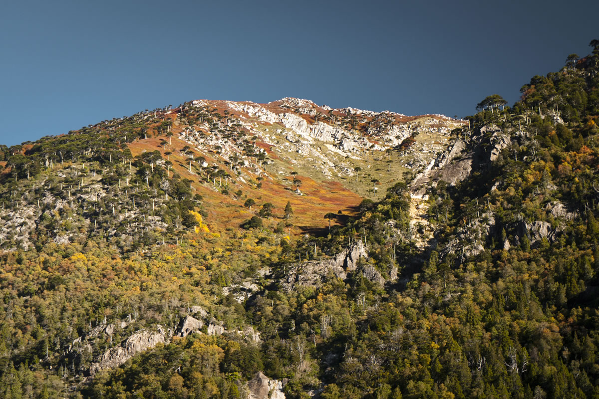
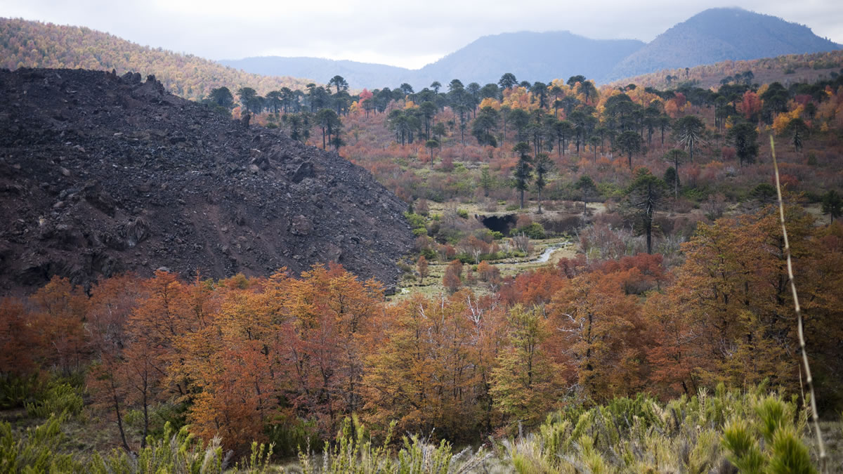
Higher still, the first snows of autumn dust the tops of Chile’s endless line chain of conical volcanoes – white pyramids on the horizon.
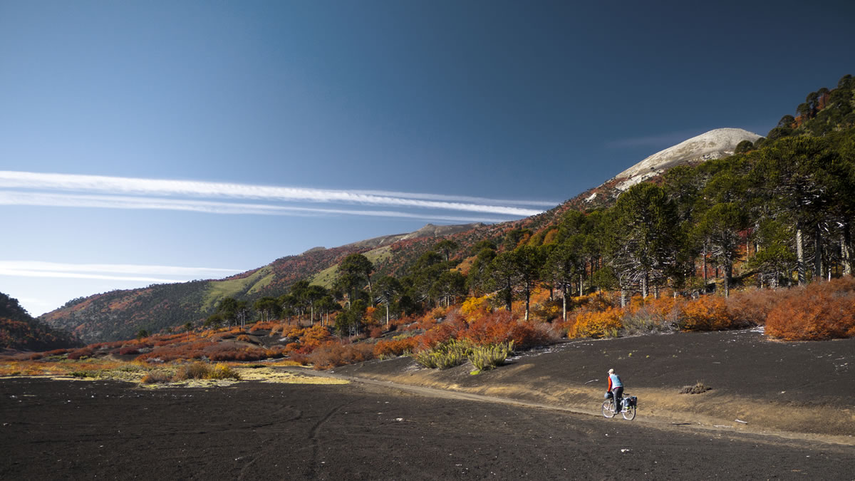
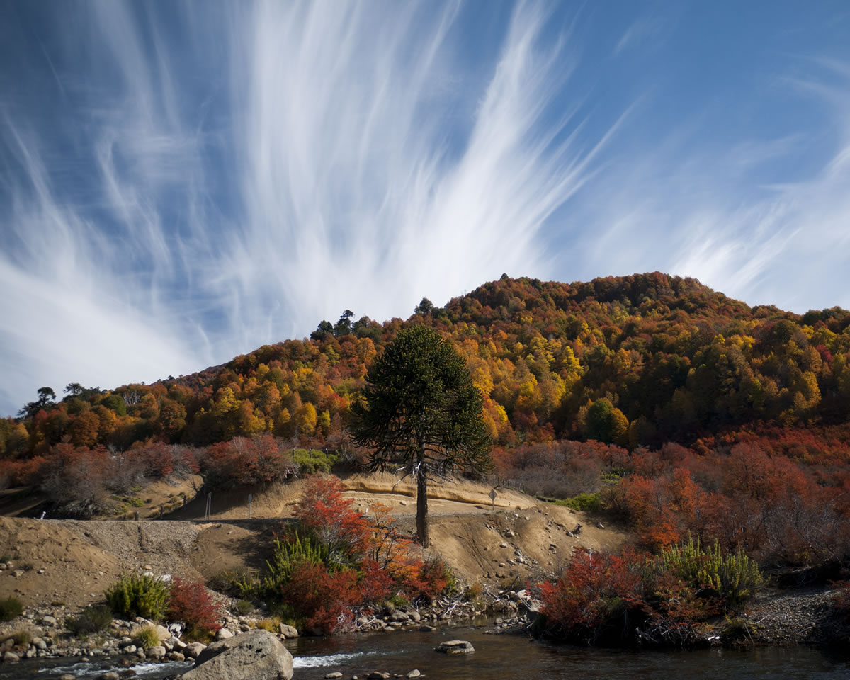
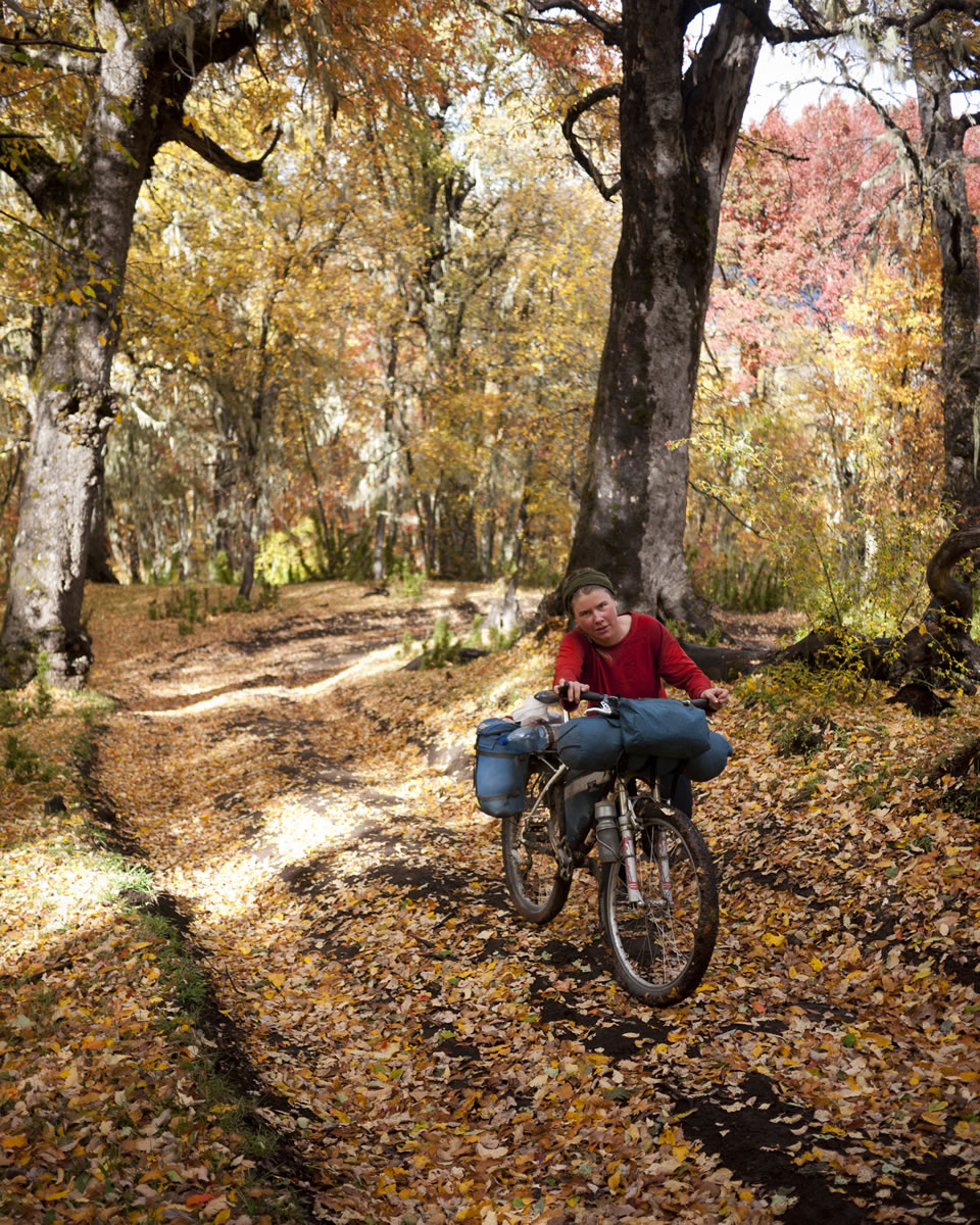
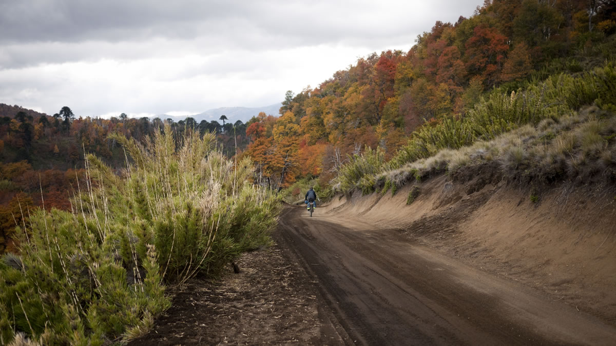
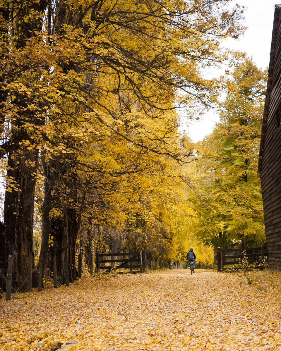
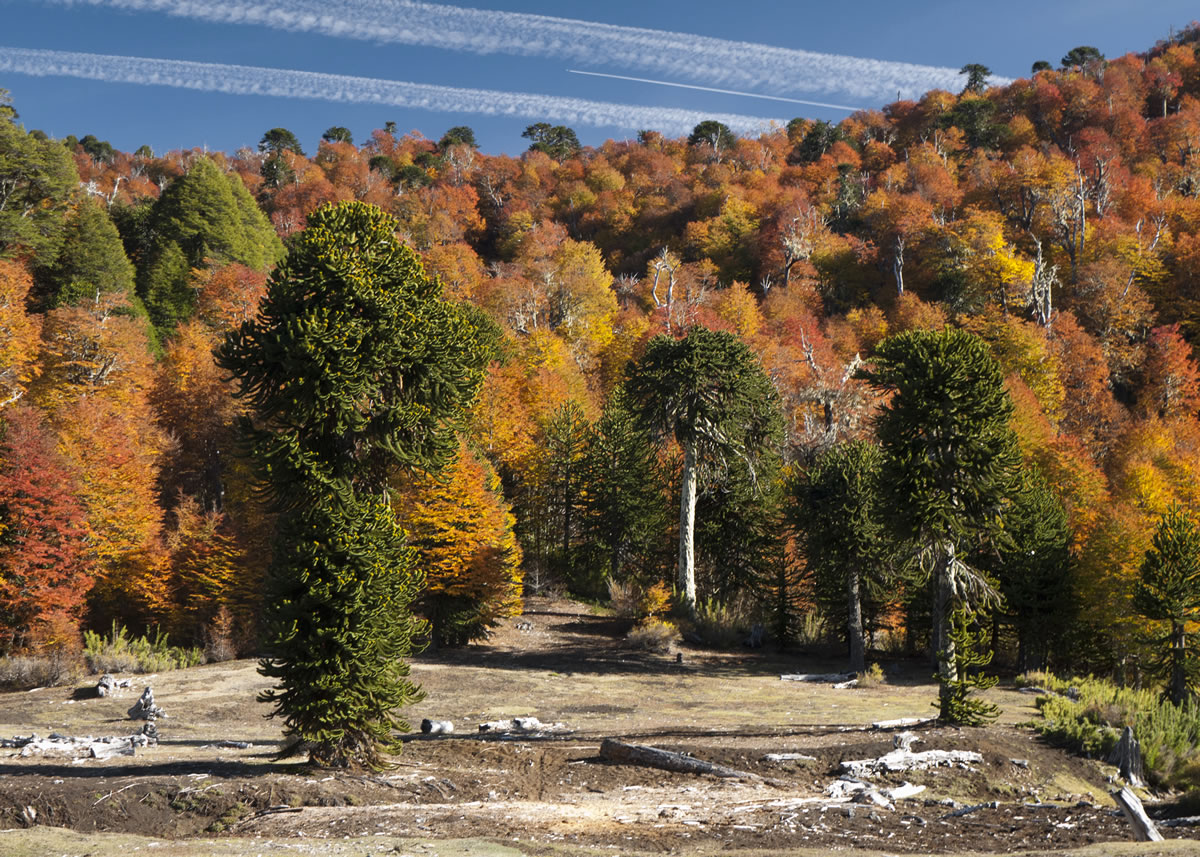
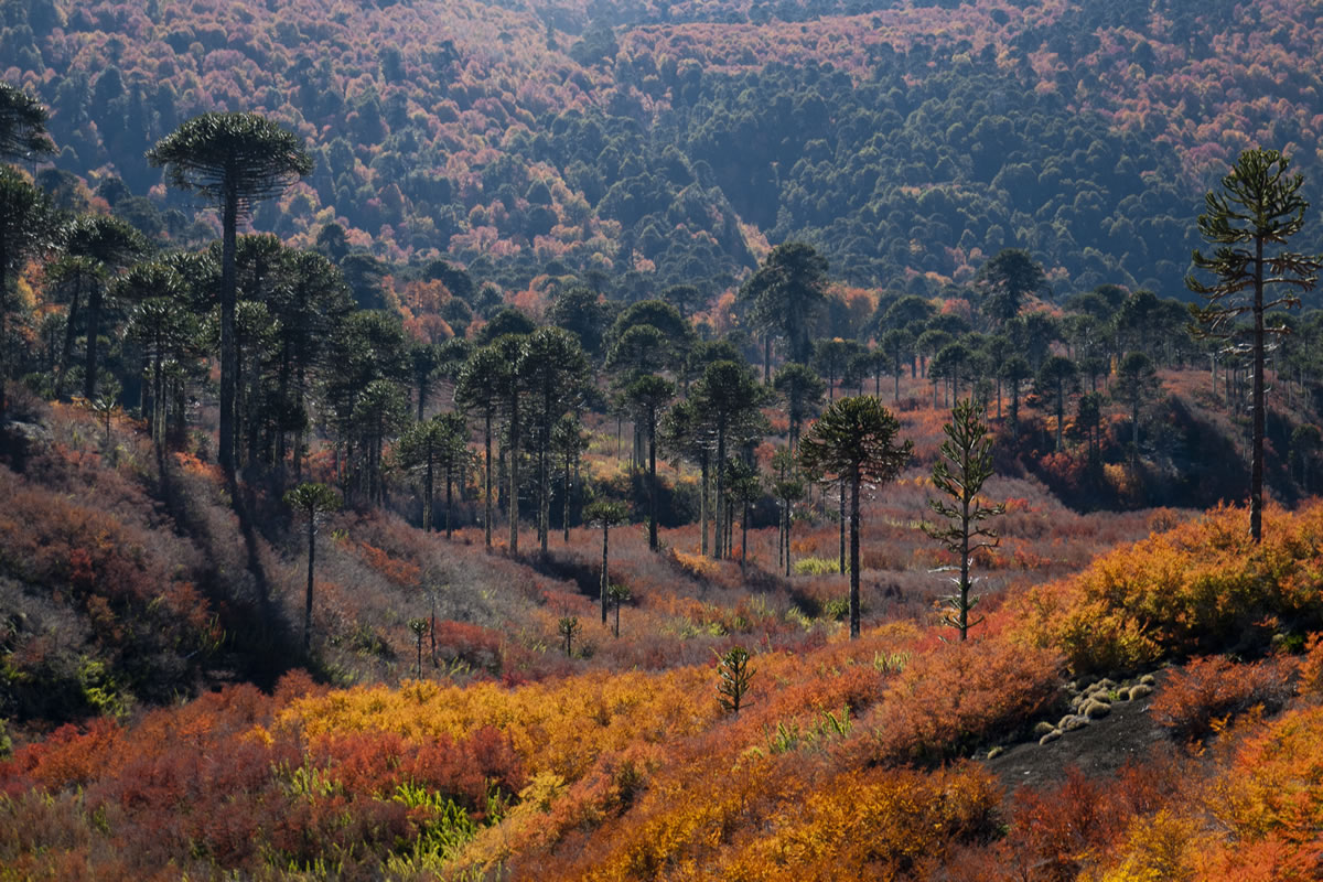
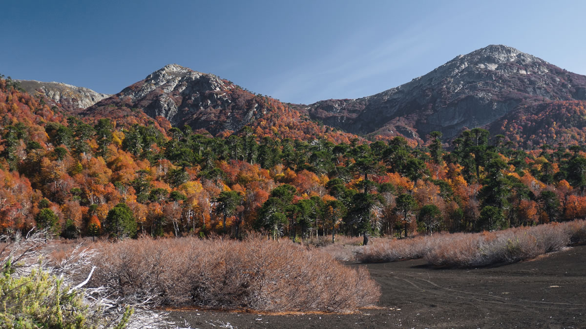
This route travels quiet pumice tracks up from fertile valleys, past expansive lava flows, clear rivers, and remote ranches, through araucaria forests, open alpine, and smokey villages. On clear fall days, these are the makings of haikus.
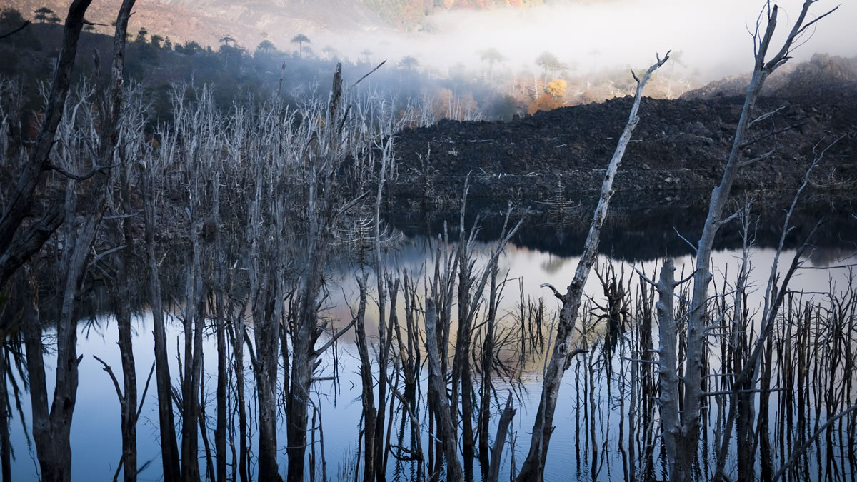
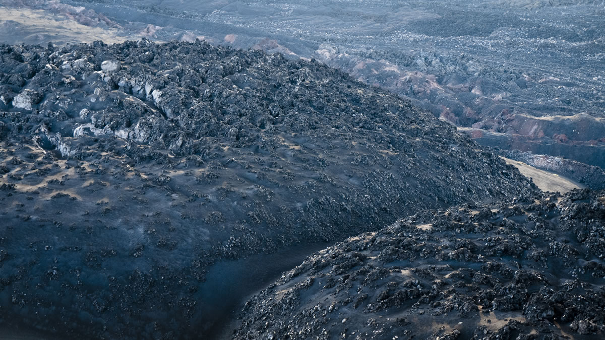
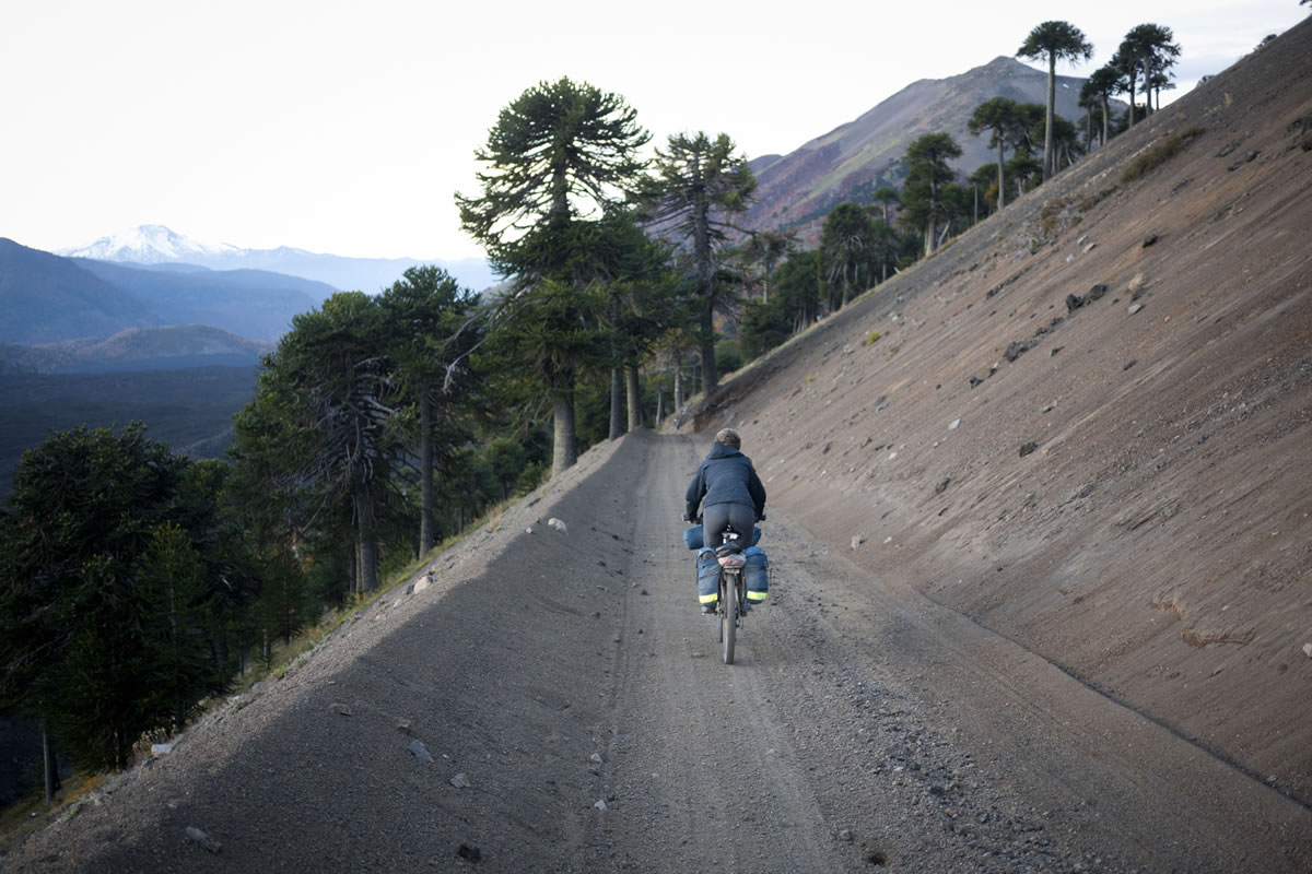
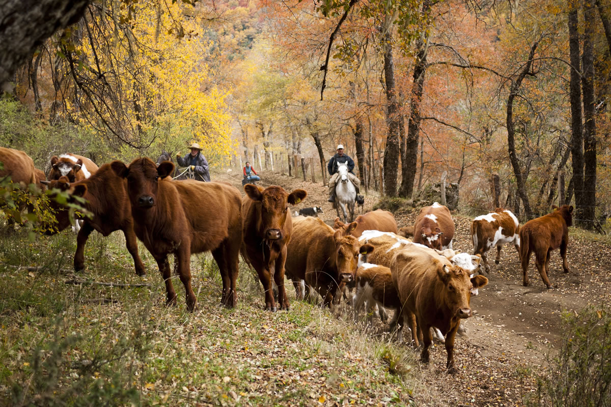
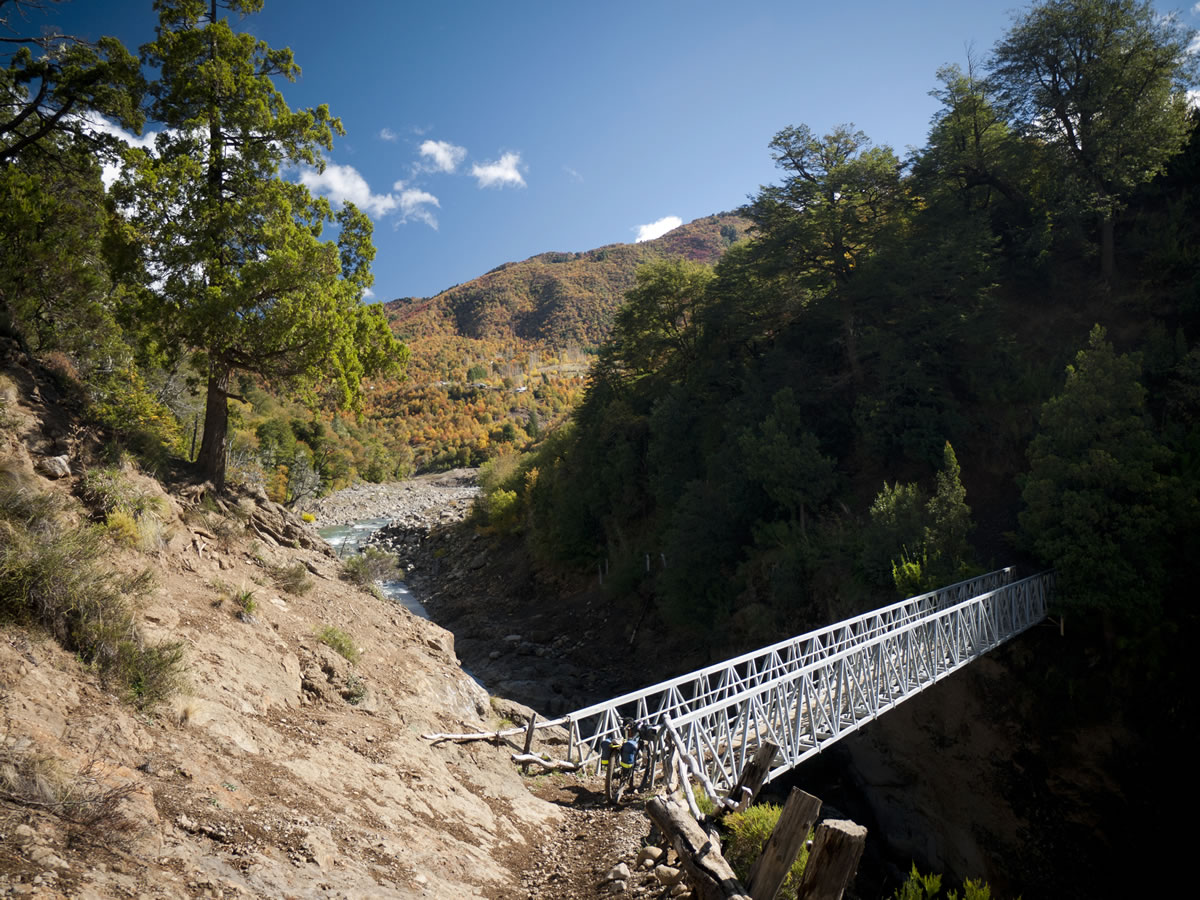
Bypassing the busier roads of Conguillío National Park (which is worth a side trip, if time allows), this route follows a small 4×4 road through Reserva China Muerta, from Melipeuco to Lonquimay. Then, leaving Lonquimay, it climbs over an alpine pass on the shoulder of Volcan Lonquimay in Reserva Malalcahuello-Nalcas. In Reserva Malacahueco-Nalcas, those travelling with with light bikepacking set-ups might chose to deviate from this route on one of a few long singletrack trails through the park. A long descent along the length 20 year old lava flow passes the idyllic ranch of Lolco. At Chequenco, bikepackers should ask the locals about a horse trail that leads past Laguna Barco to the hamlet of Trapa Trapa (north of this route), and carries on over the mountains to a border crossing near Laguna de la Laja. Those sticking to the road will pass a lovely hotsprings, with excellent, affordable camping on the way to Ralco.
Submit Route Alert
As the leading creator and publisher of bikepacking routes, BIKEPACKING.com endeavors to maintain, improve, and advocate for our growing network of bikepacking routes all over the world. As such, our editorial team, route creators, and Route Stewards serve as mediators for route improvements and opportunities for connectivity, conservation, and community growth around these routes. To facilitate these efforts, we rely on our Bikepacking Collective and the greater bikepacking community to call attention to critical issues and opportunities that are discovered while riding these routes. If you have a vital issue or opportunity regarding this route that pertains to one of the subjects below, please let us know:
Highlights
Must Know
Camping
Food/H2O
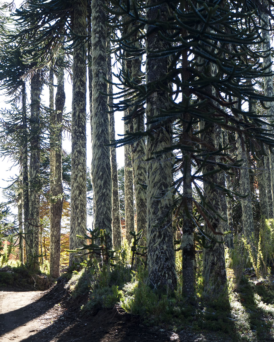
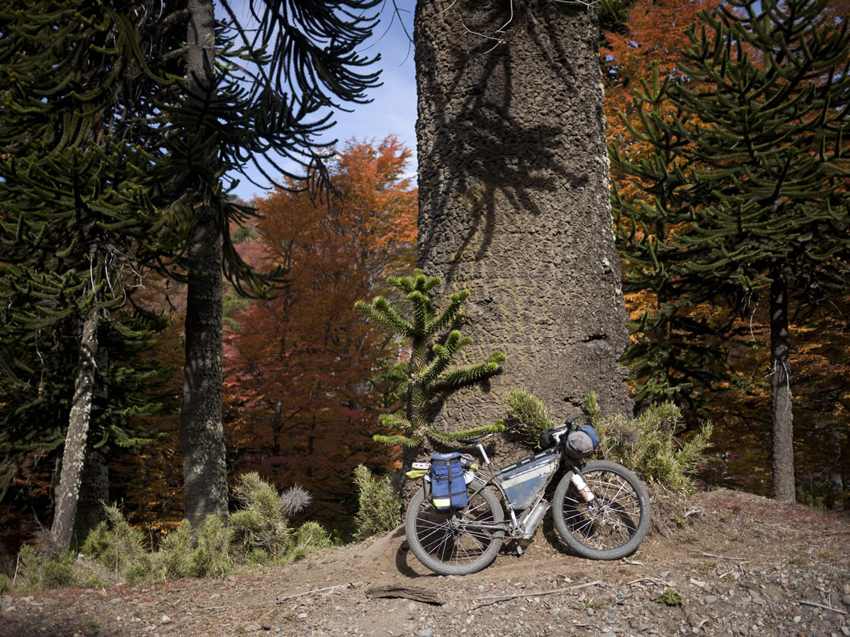
- Monkey Puzzle trees.
- Seeing the beech and araucaria forests in fall colors.
- The flowy pumice surface of the 4×4 roads.
- Riding on lava flows.
- This route can be ridden in either direction.
- Besides military topo maps, the best maps for cycling in Chile are the series of 1:400,000 waterproof maps available at many Copec petrol stations. Map #5 (Region Biobio) covers this area.
- Reliable GPS road and topographic maps fare available from proyectomapear.com.ar for free.
- There are campgrounds and inns in Melipeuco, Lonquimay and Ralco
- Wild camping is possible along most of this route.
- The hotsprings between Ralco and Chequenco (25km from Ralco) offers pleasant camping and access to the springs for CLP4000 per person.
- Food can be bought from grocers in Melipeuco, Lonquimay, Chequenco, and Ralco.
- For those wishing to explore the trails north of Chequenco, rest assured that the small store in the village of Chequenco is well-stocked.


Terms of Use: As with each bikepacking route guide published on BIKEPACKING.com, should you choose to cycle this route, do so at your own risk. Prior to setting out check current local weather, conditions, and land/road closures. While riding, obey all public and private land use restrictions and rules, carry proper safety and navigational equipment, and of course, follow the #leavenotrace guidelines. The information found herein is simply a planning resource to be used as a point of inspiration in conjunction with your own due-diligence. In spite of the fact that this route, associated GPS track (GPX and maps), and all route guidelines were prepared under diligent research by the specified contributor and/or contributors, the accuracy of such and judgement of the author is not guaranteed. BIKEPACKING.com LLC, its partners, associates, and contributors are in no way liable for personal injury, damage to personal property, or any other such situation that might happen to individual riders cycling or following this route.
Please keep the conversation civil, constructive, and inclusive, or your comment will be removed.