


The BC Trail
Distance
745 Mi.
(1,199 KM)Days
12
% Unpaved
90%
% Singletrack
12%
% Rideable (time)
99%
Total Ascent
46,663'
(14,223 M)High Point
6,813'
(2,077 M)Difficulty (1-10)
5?
- 4Climbing Scale Fair63 FT/MI (12 M/KM)
- -Technical Difficulty
- -Physical Demand
- -Resupply & Logistics
Contributed By
Miles Arbour
Ride and Report
May 2022: There are closures along the KVR due to washouts and landslides. Learn more here.
July 2022: There are additional closures between Hope and Chilliwack Lake due to washouts. Information on closures can be found here, and an interactive map showing forest service road conditions can be found here.
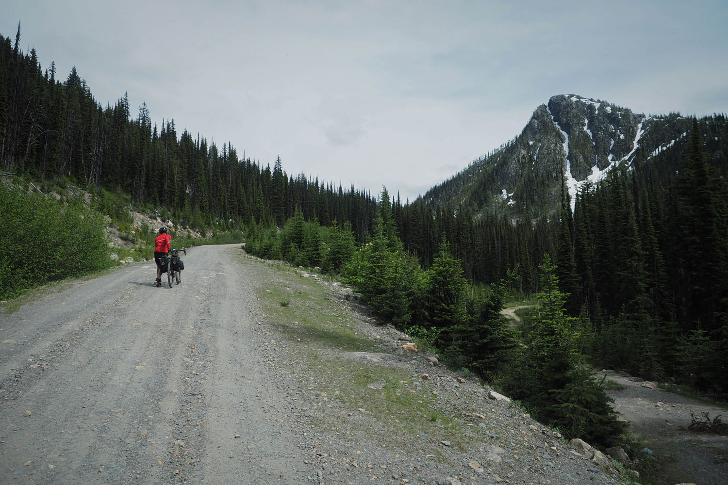
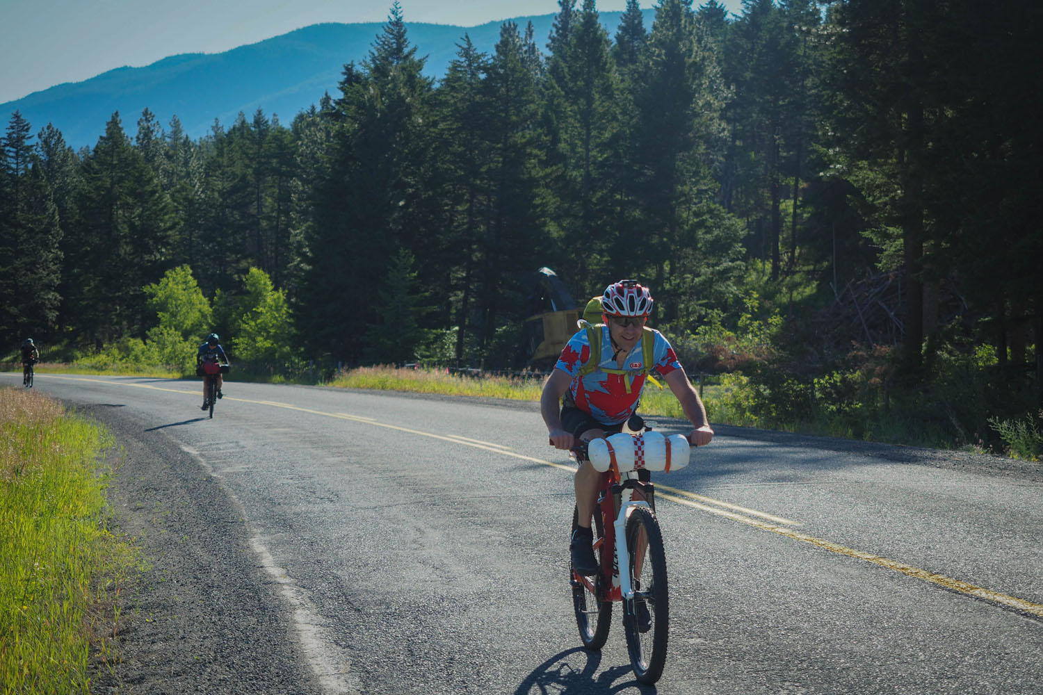
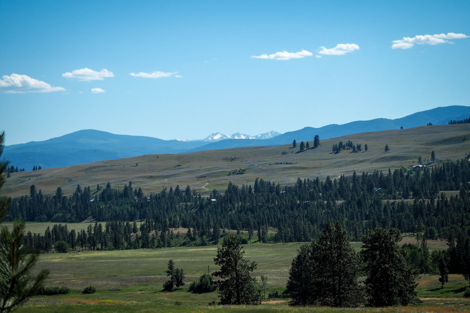
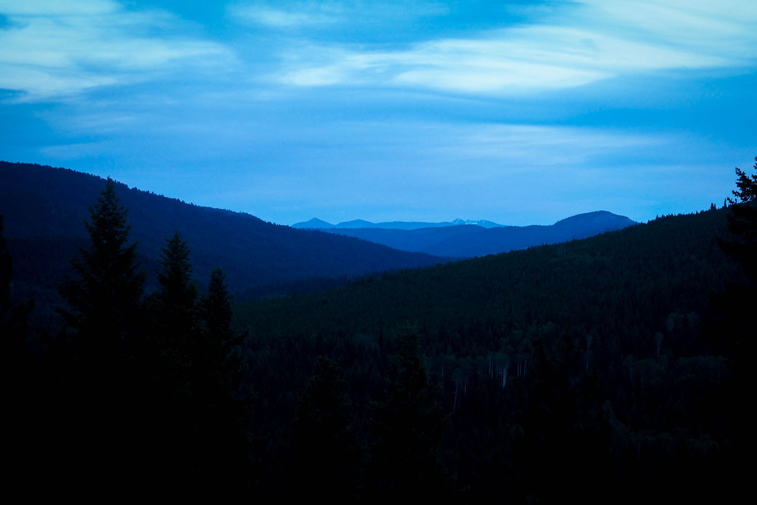
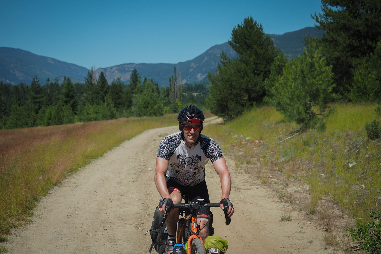
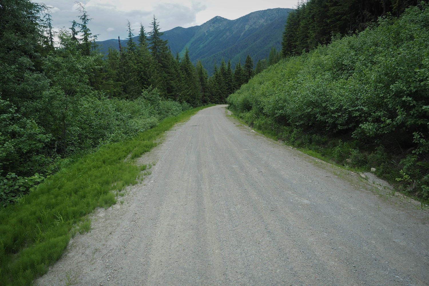
The BC Trail traverses eastward across British Columbia’s southern border. The route starts in Cultus Lake, a stone’s throw from Vancouver — where BC’s segment of the Trans Canada Trail leaves suburban pathways for dirt — and ends in the small Rocky Mountain ski town of Fernie.
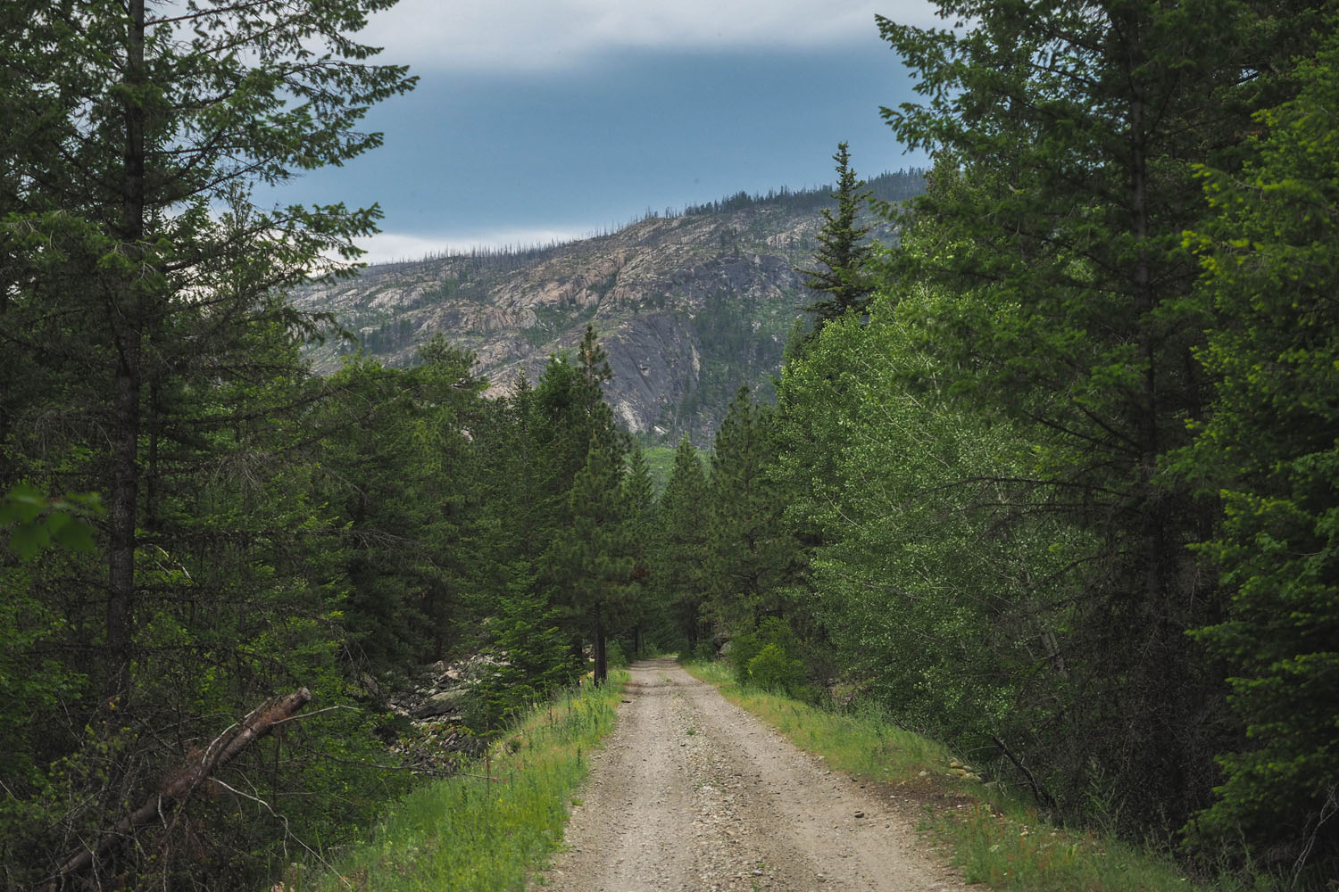
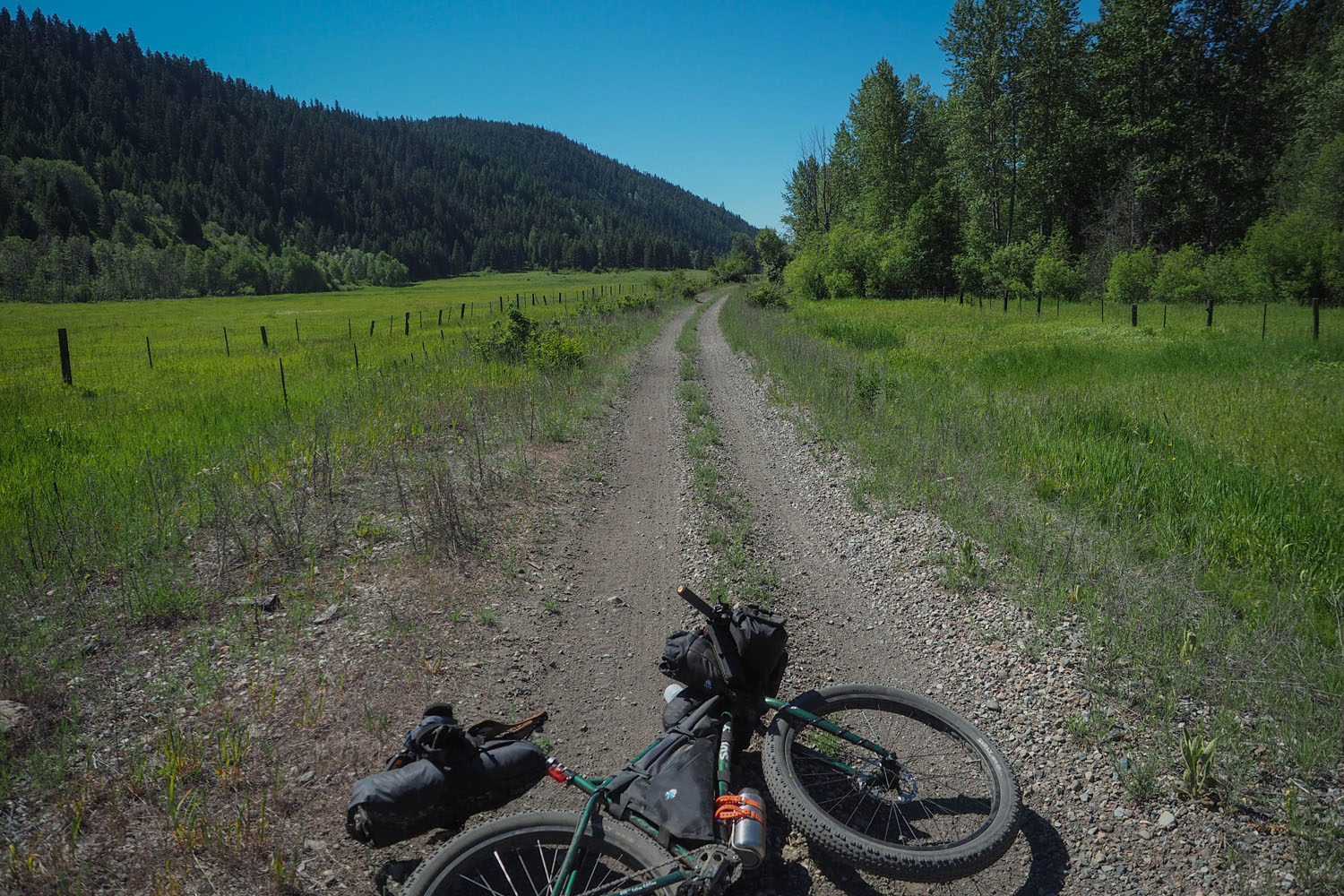
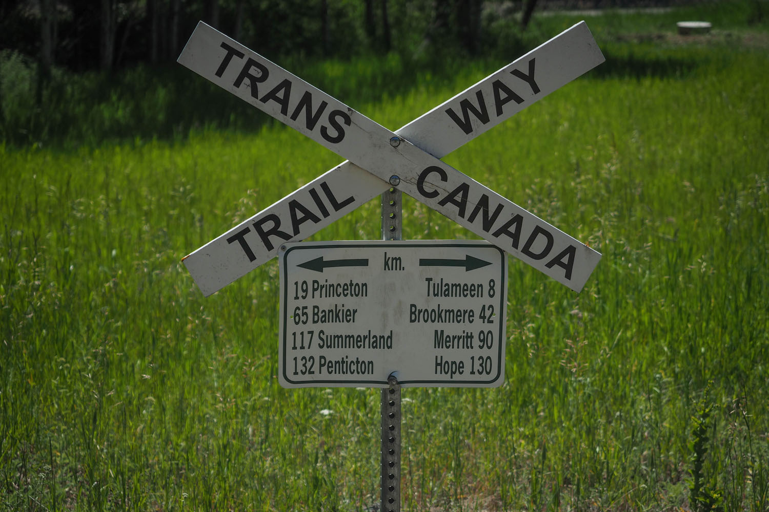
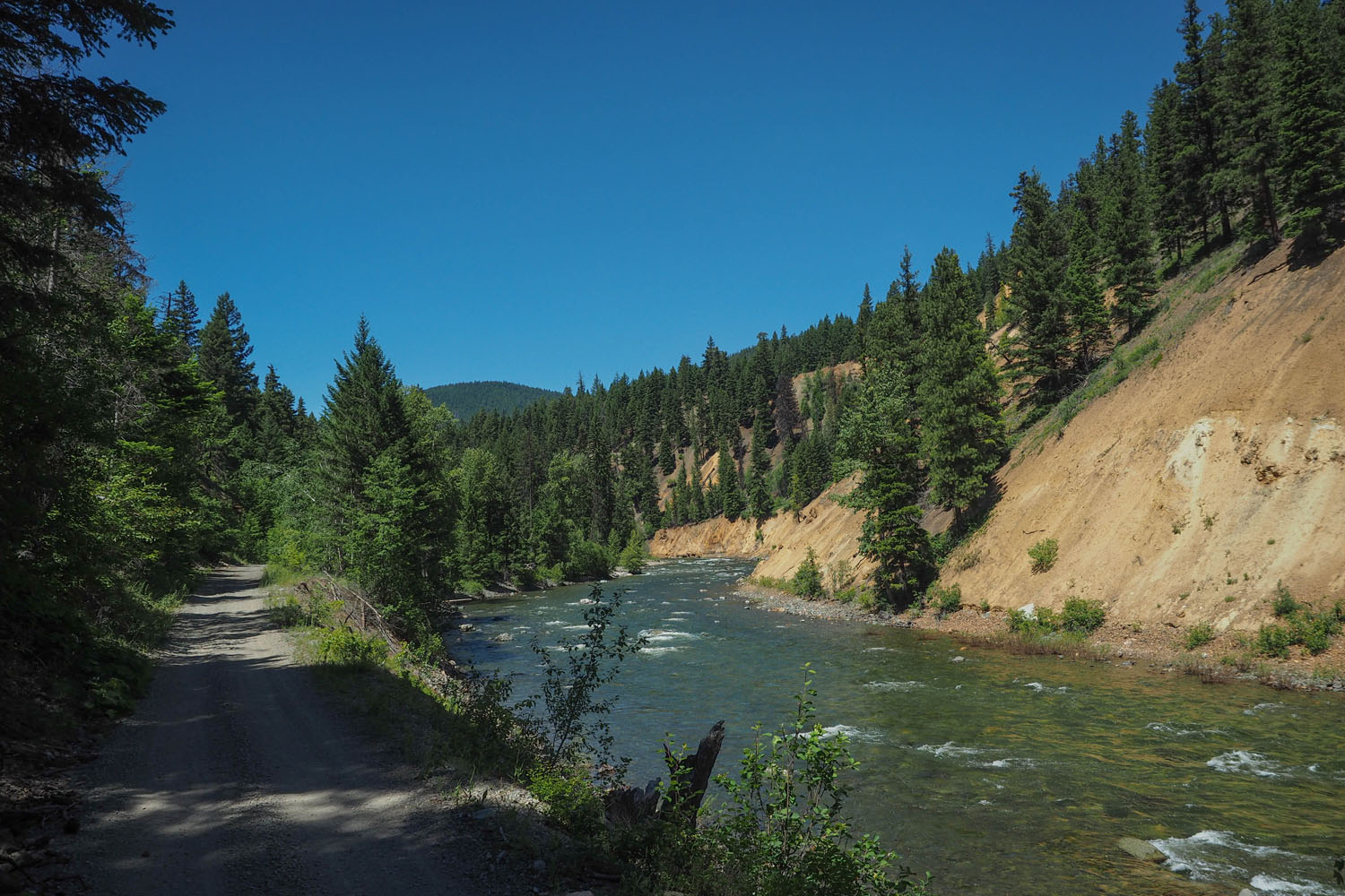
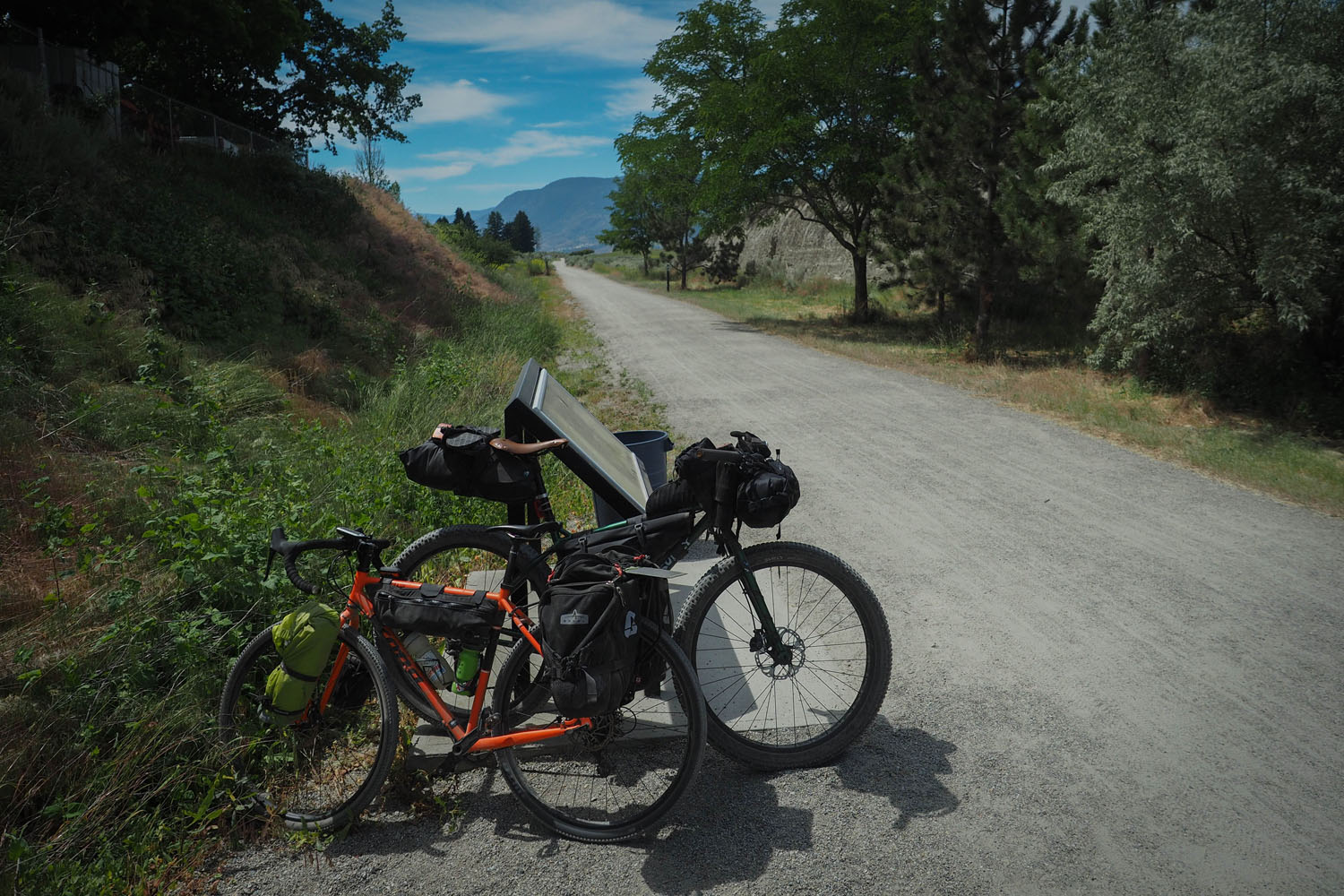
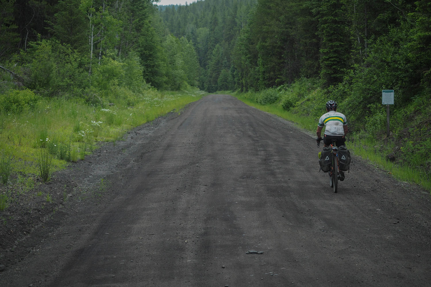
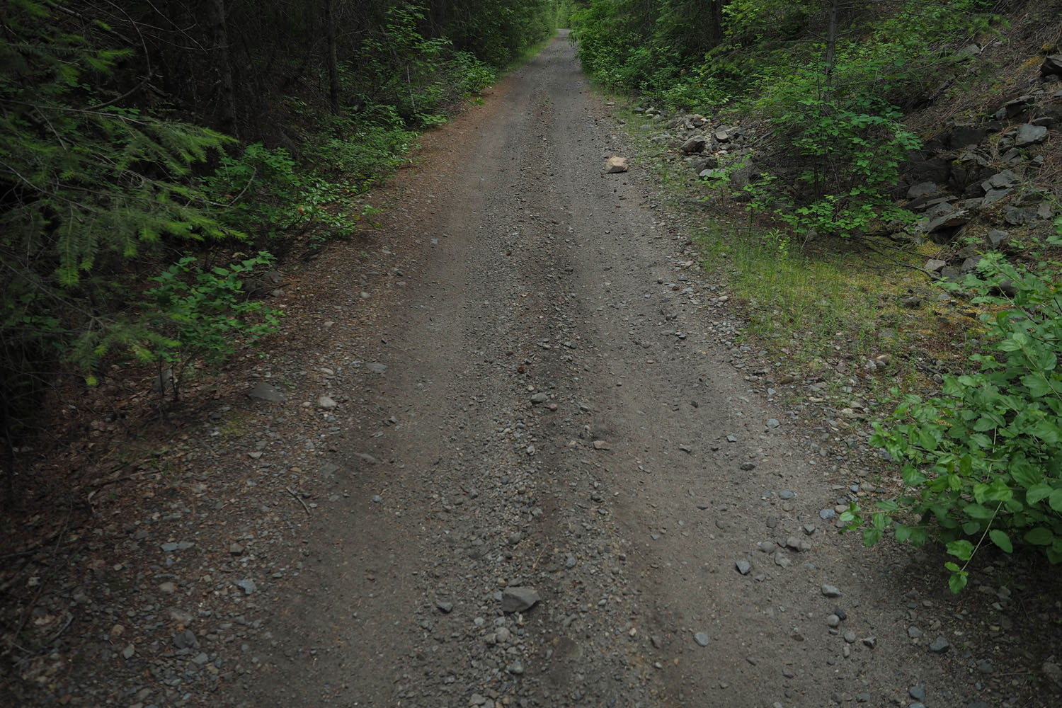
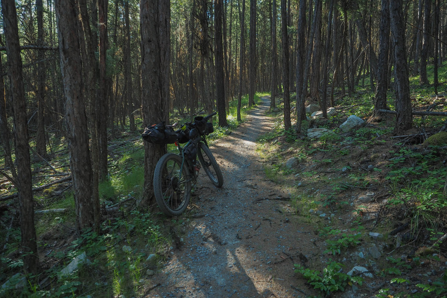
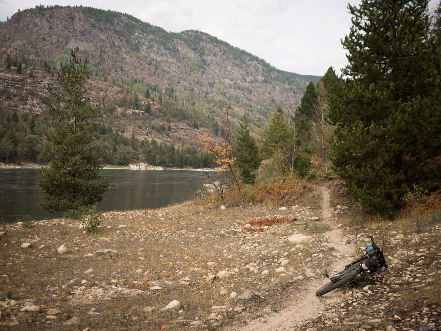
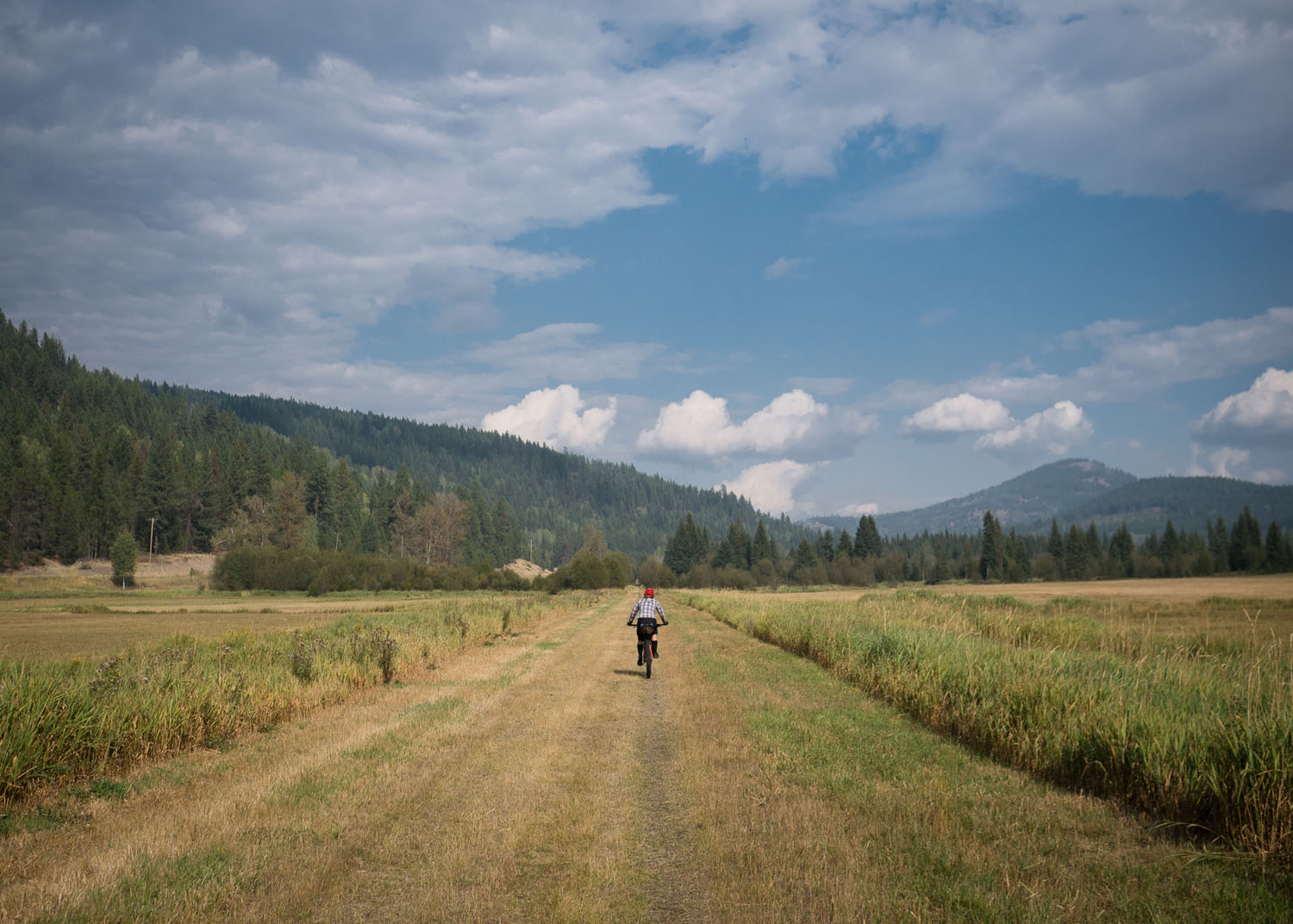
In the early ‘90s the BC Trail began as part of the Trans Canada Trail project as an effort to expand the already-popular Kettle Valley Rail Trail across the province, from Victoria to the Alberta border. While the KVR segment from Princeton to Midway remains among Canada’s most popular off-pavement bike tours, this longer route, which showcases the bulk of BC’s Trans Canada Trail, with the exclusion of the Vancouver Island section and the convoluted maze of suburban bike paths in the Fraser Valley, offers less-developed riding for the more adventurous rider. While decommissioned rail trails still make up the majority of the terrain, don’t be fooled, many of these sections are rough and are hard on gear and riders alike.
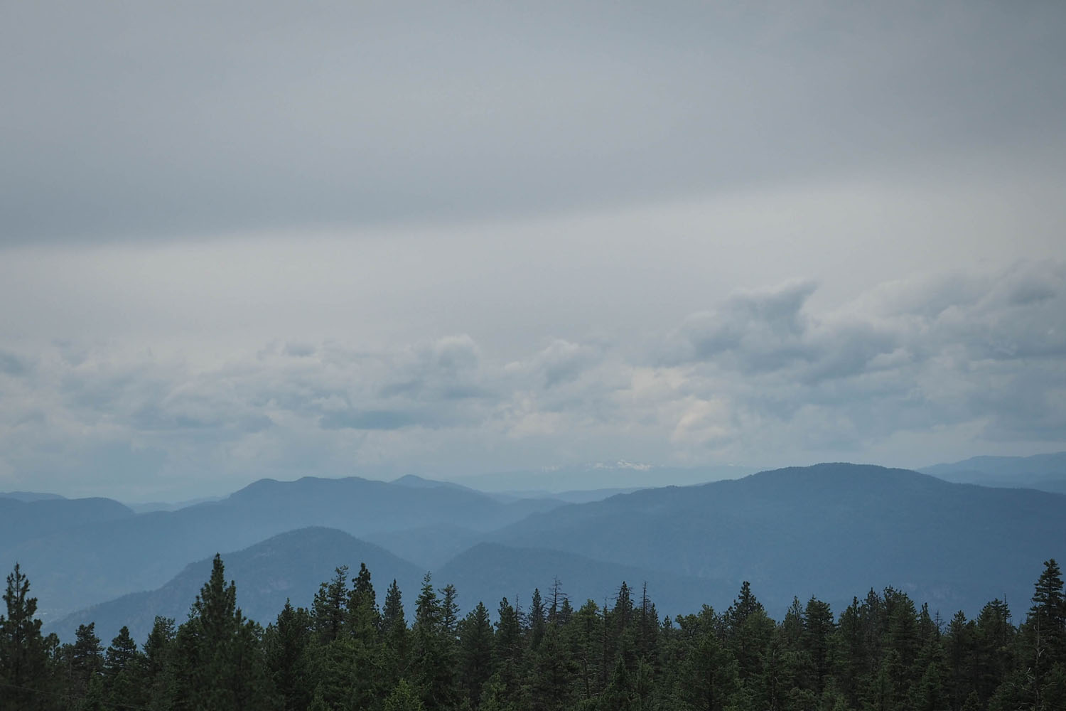
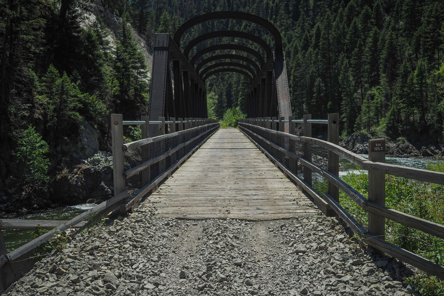
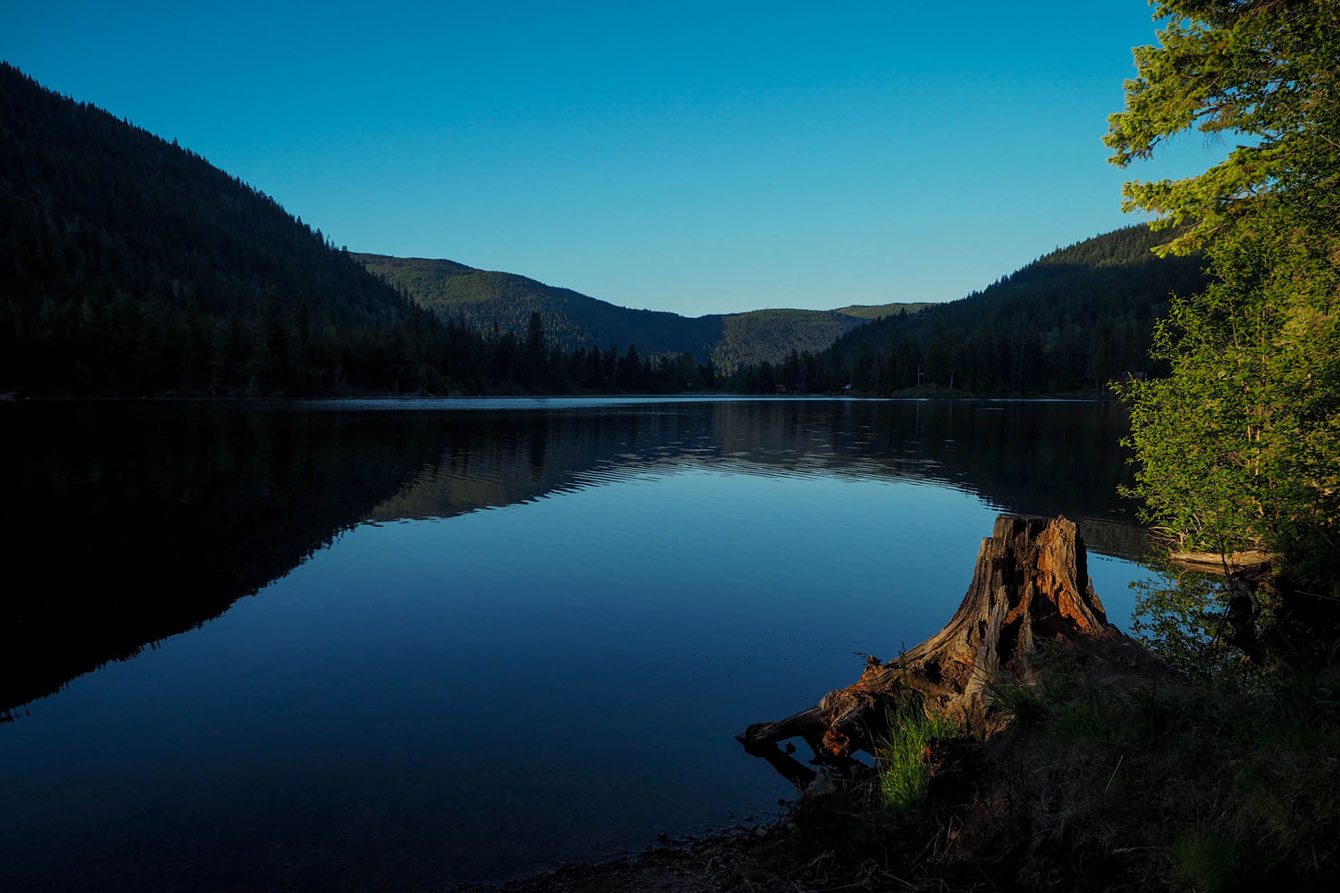
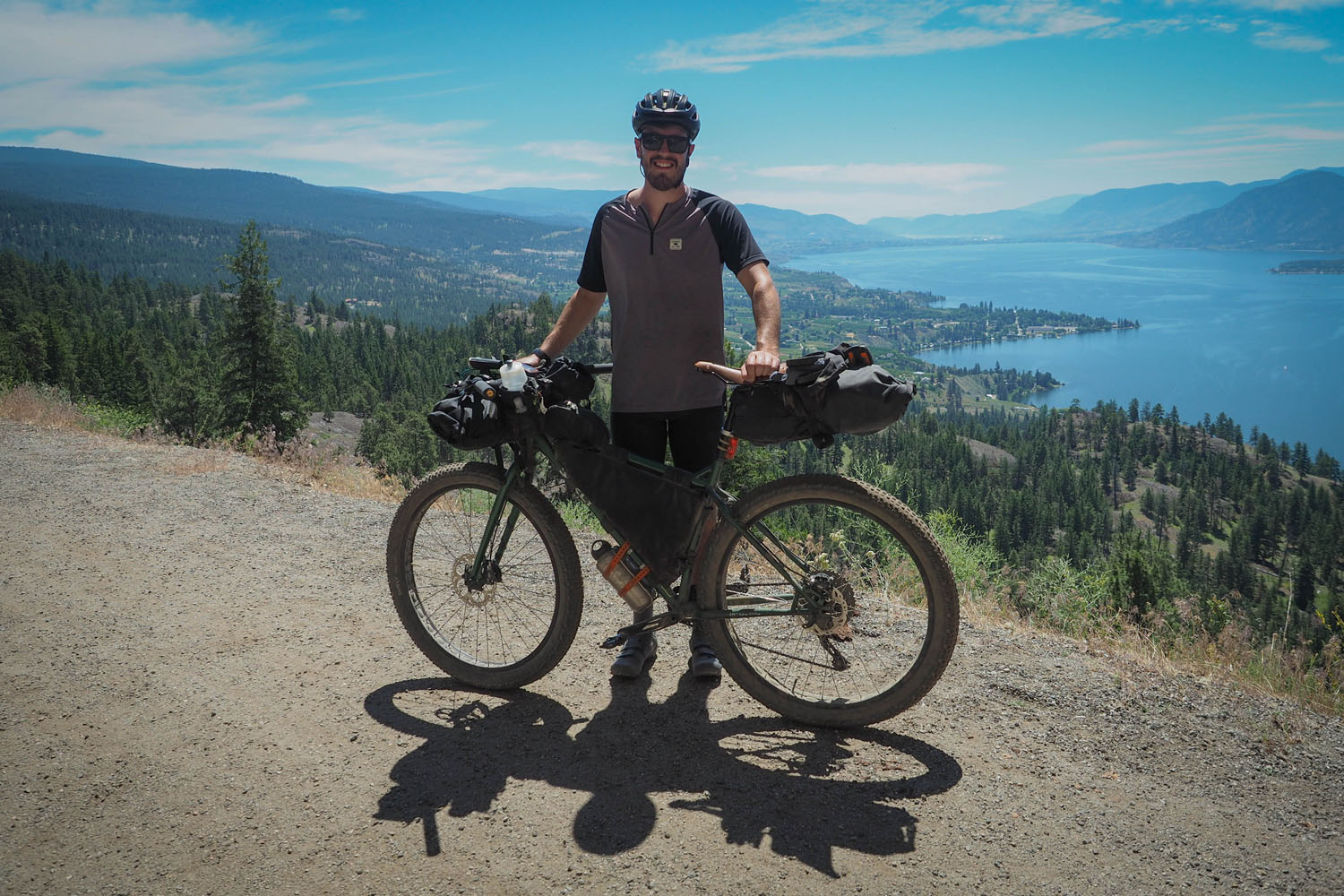
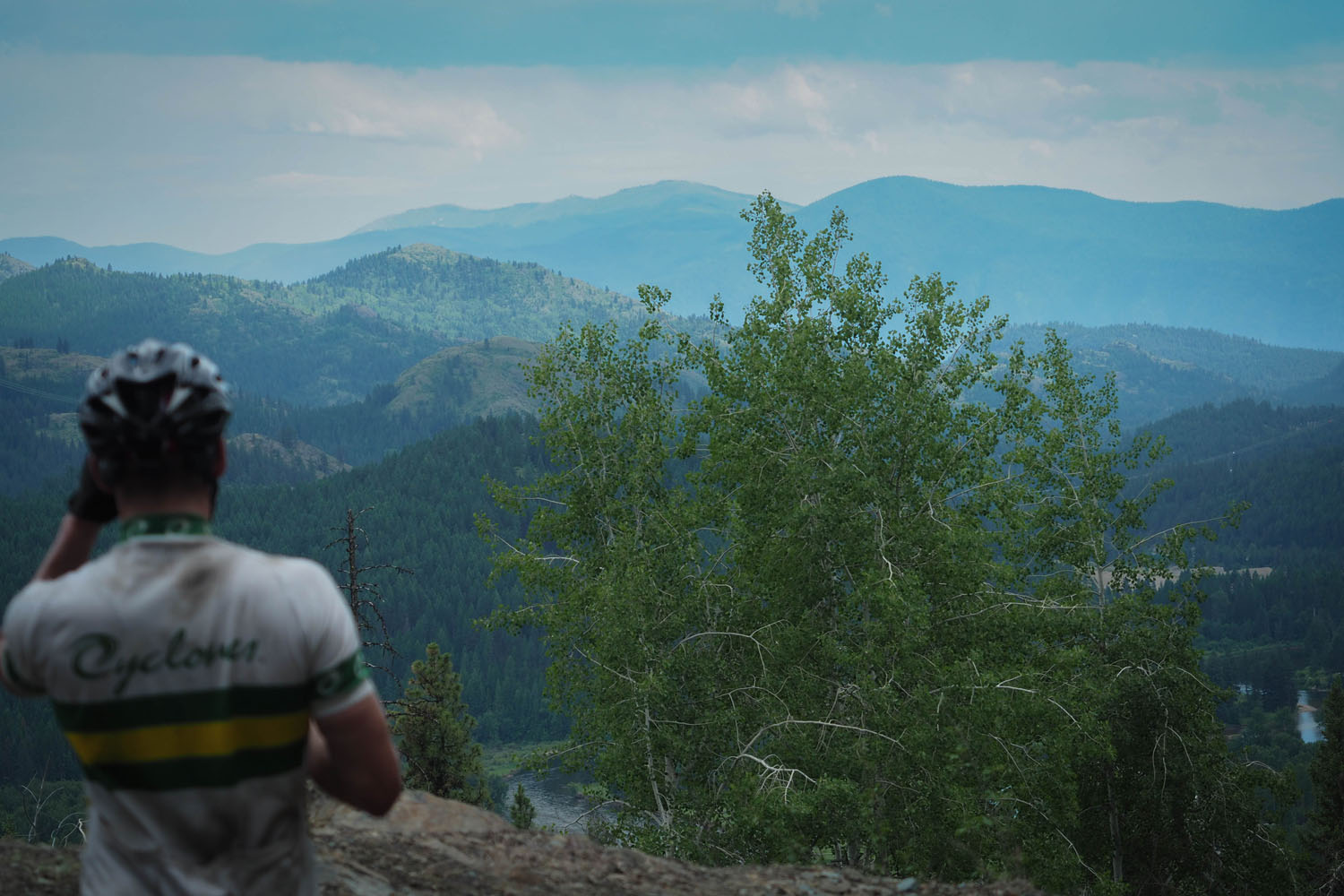
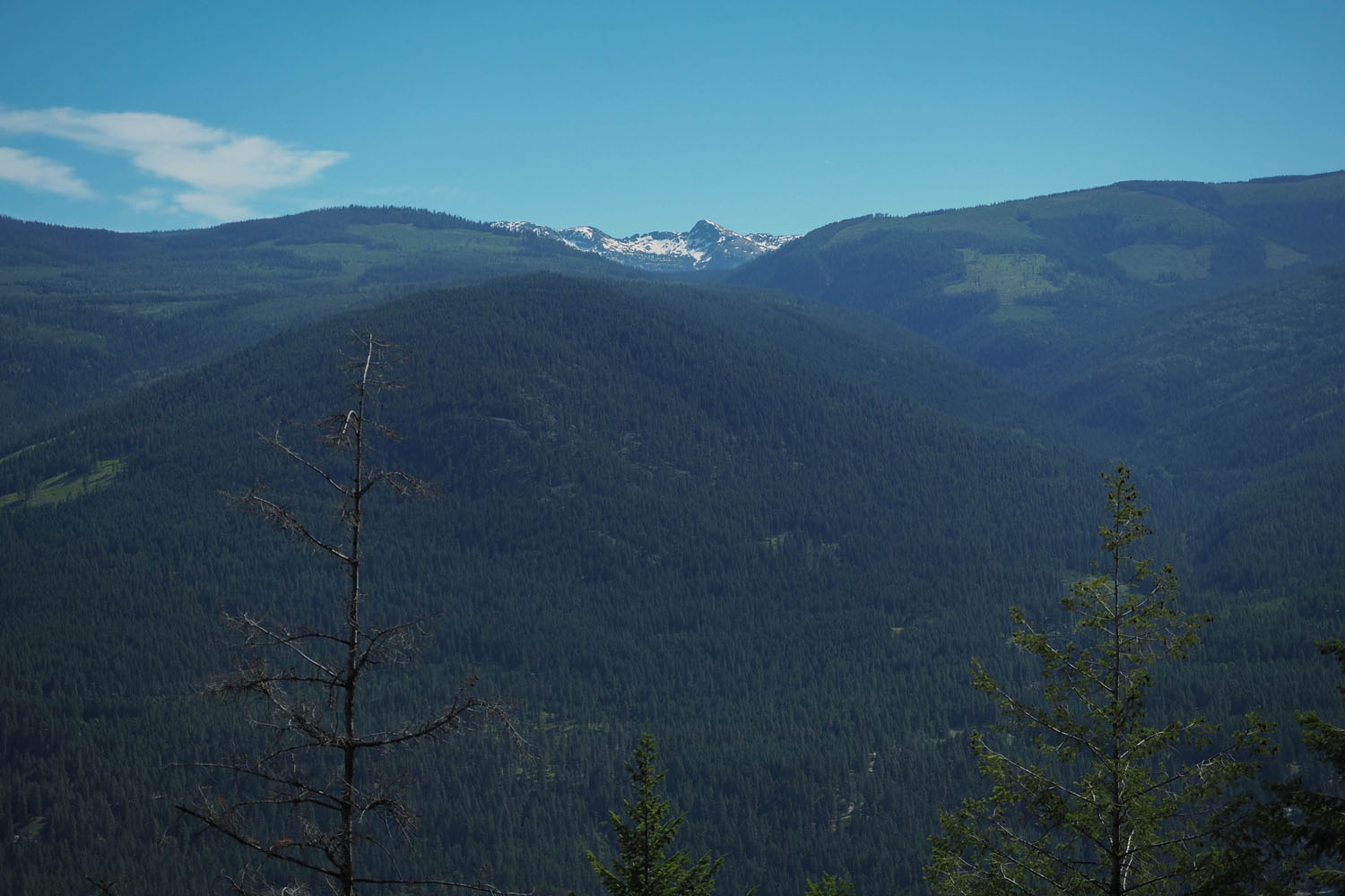
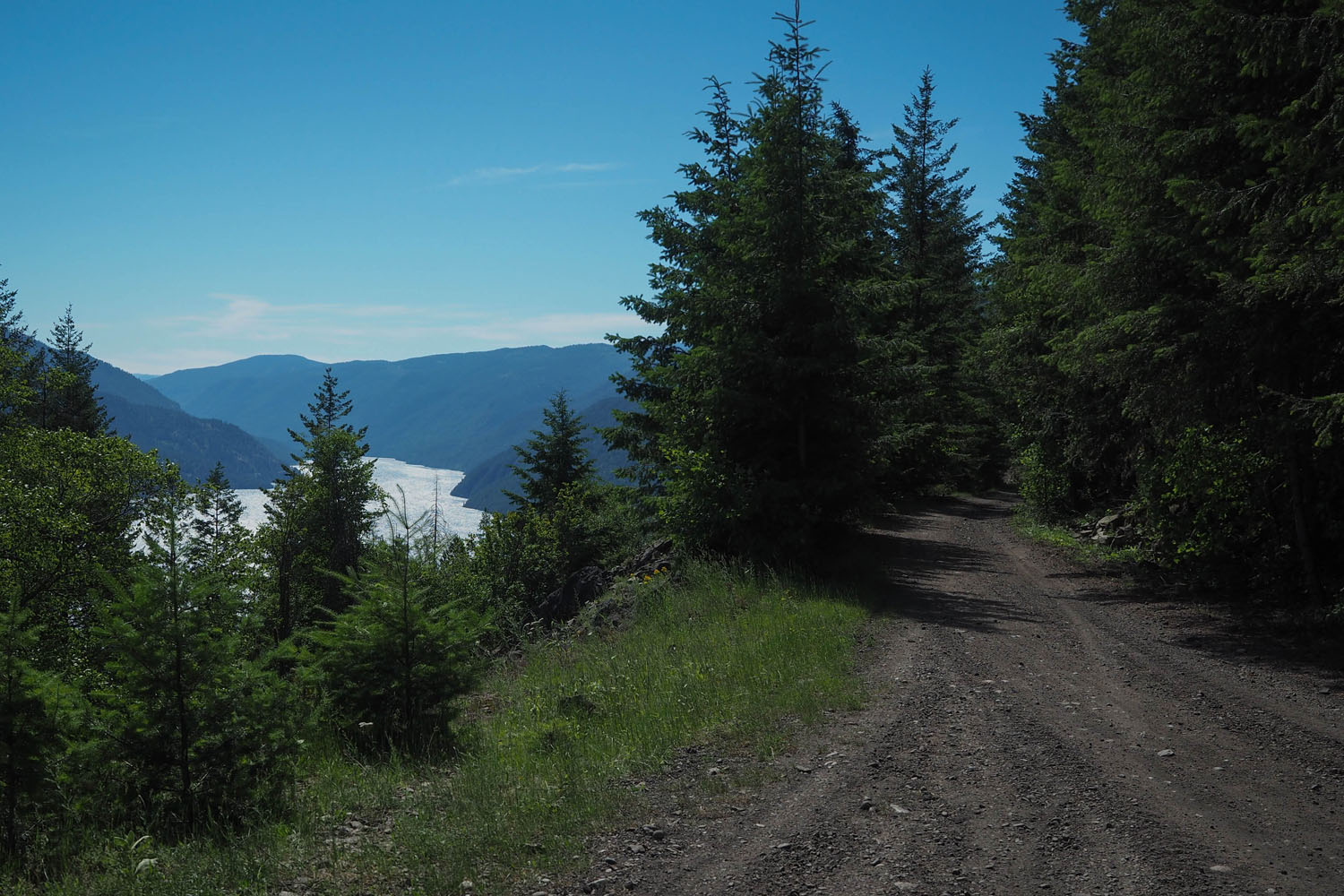
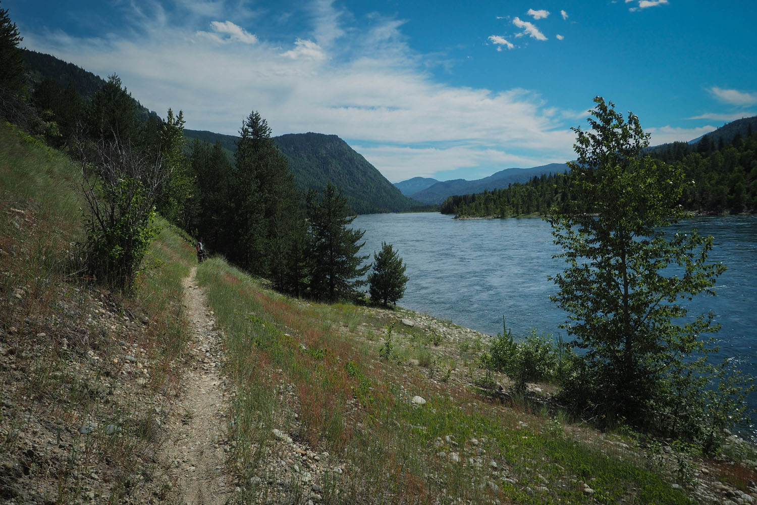
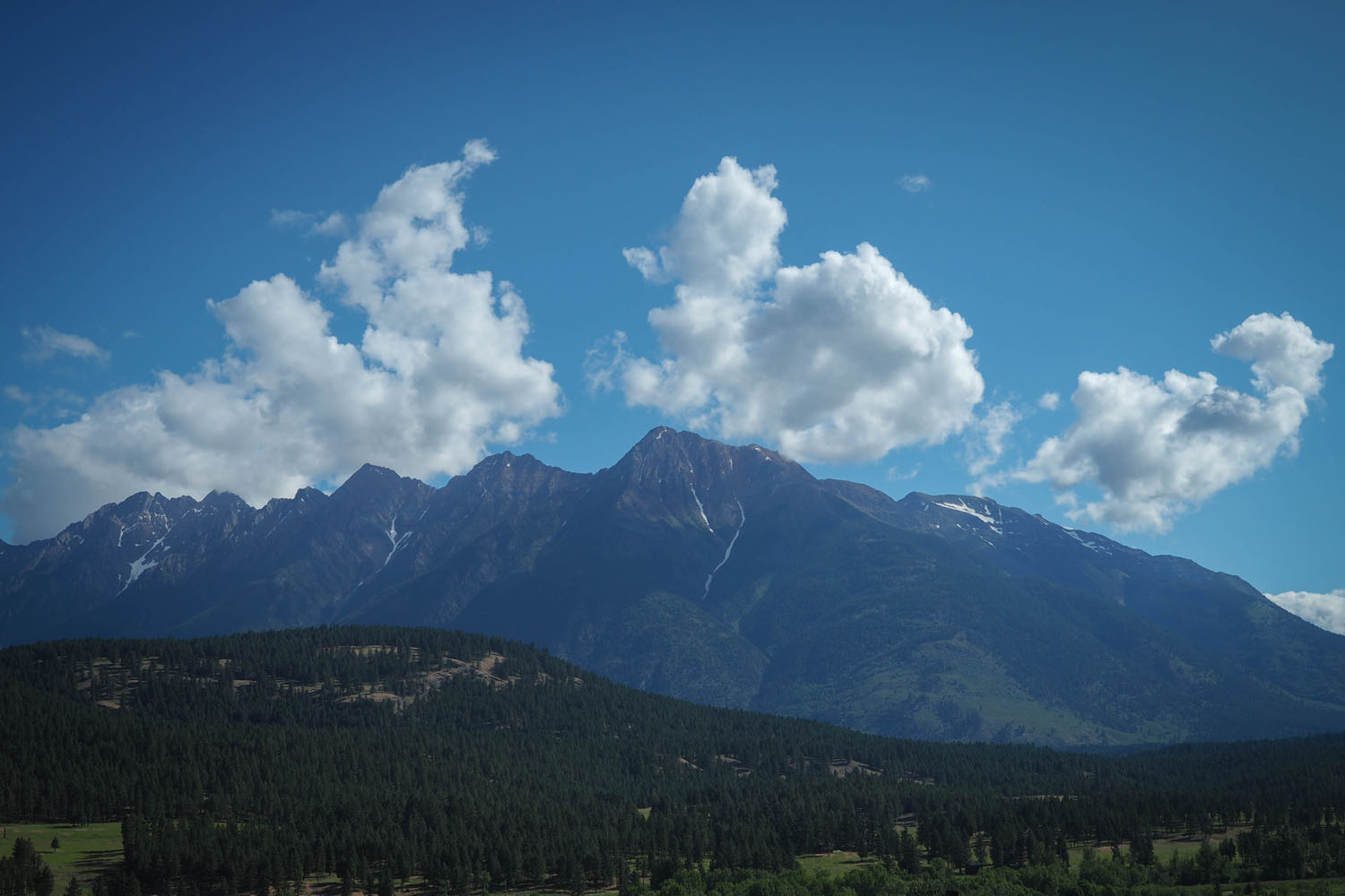
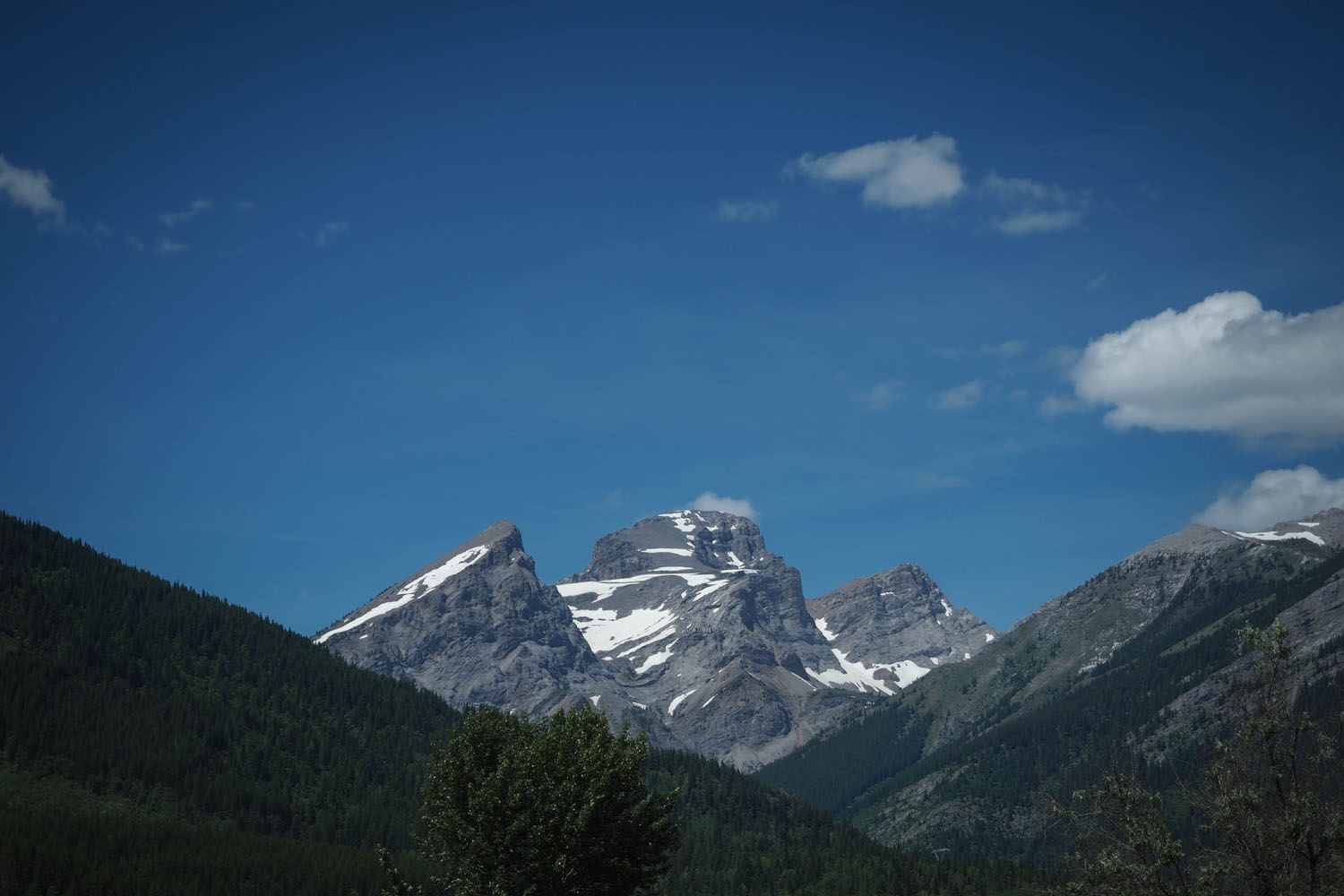
The BC Trail is arguably the best way to explore and visit the many breathtaking regions of British Columbia. The Coquihalla River Trail, Kettle Valley Rail Trail, and the Great Northern Rail Trail link some of the larger towns together, accompanied by scenic forest service roads and the occasional reminder that B.C is home to some technical, rocky singletrack. Popular destinations like the the Myra Canyon Trestles and old railroad tunnels are met alongside less travelled gems like Gray Creek Pass and elevated views of the Columbia River. The route mixes a healthy dose of frontcountry amenities with remote sections that require a bit more skill and planning.
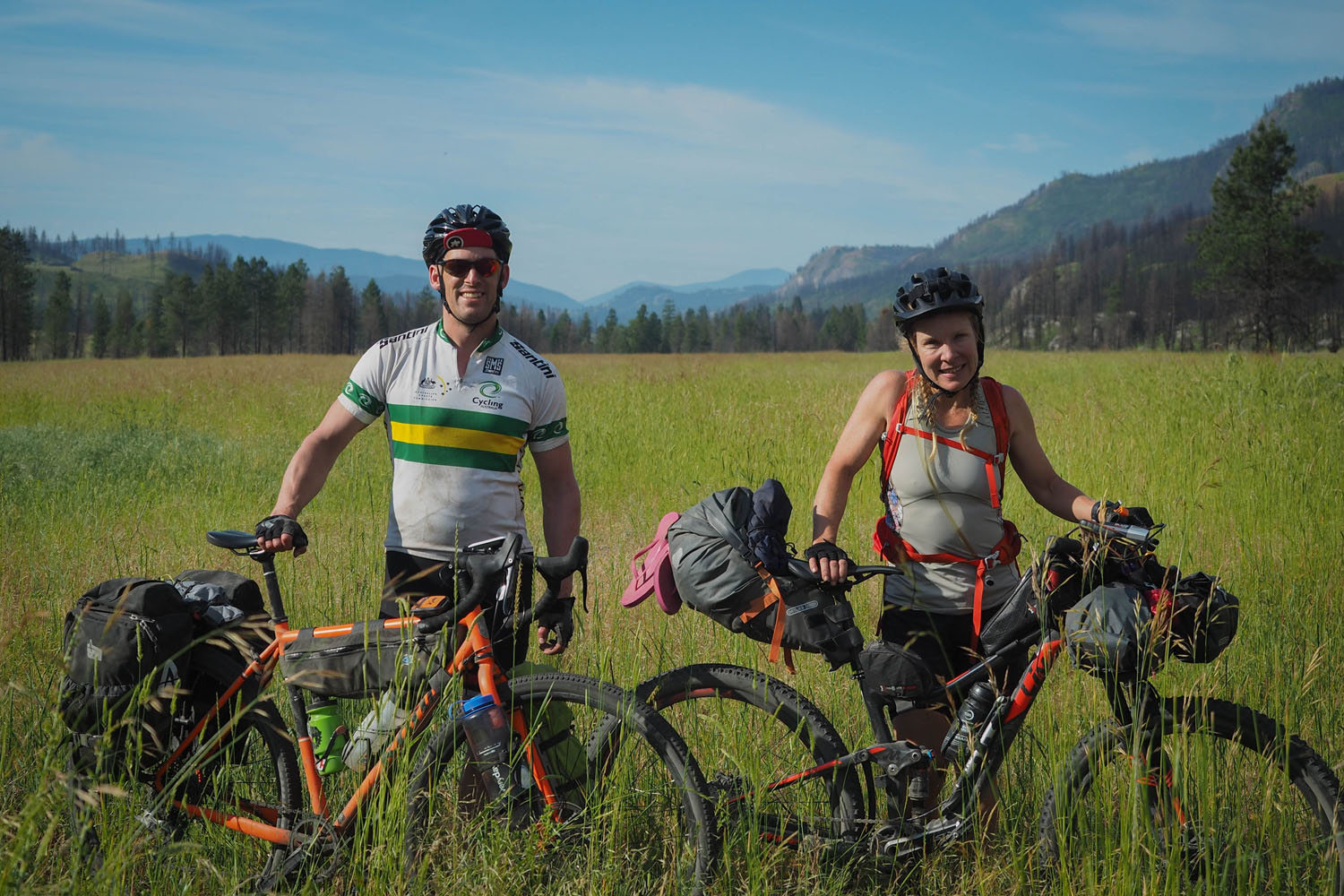
As an added bonus, a self-supported bikepacking race, known as the BC Epic 1000, follows the BC Trail from Merritt to Fernie every June in true grand depart format. Lennard Pretorius of Kamloops, B.C first introduced the race in 2016 with only 7 of 14 riders finishing the route, and saw double the interest and a much higher completion rate in 2017. For riders looking for a surprisingly challenging bikepacking race, make sure to check out the links found in additional resources at the bottom of this page.
Difficulty Rating: The BC Trail was assigned a 5 out of 10 based on the distance covered and the surprisingly harsh terrain the trails follow. Although the majority of the route is not technically difficult, there are some loose, sandy, and sections with repetitive washboard that can be hard on riders. The route has plenty of services, but there are a few remote sections along the trail that have limited bailout points, which could potentially force longer than anticipated days if a resupply is needed.


Submit Route Alert
As the leading creator and publisher of bikepacking routes, BIKEPACKING.com endeavors to maintain, improve, and advocate for our growing network of bikepacking routes all over the world. As such, our editorial team, route creators, and Route Stewards serve as mediators for route improvements and opportunities for connectivity, conservation, and community growth around these routes. To facilitate these efforts, we rely on our Bikepacking Collective and the greater bikepacking community to call attention to critical issues and opportunities that are discovered while riding these routes. If you have a vital issue or opportunity regarding this route that pertains to one of the subjects below, please let us know:
Highlights
Must Know
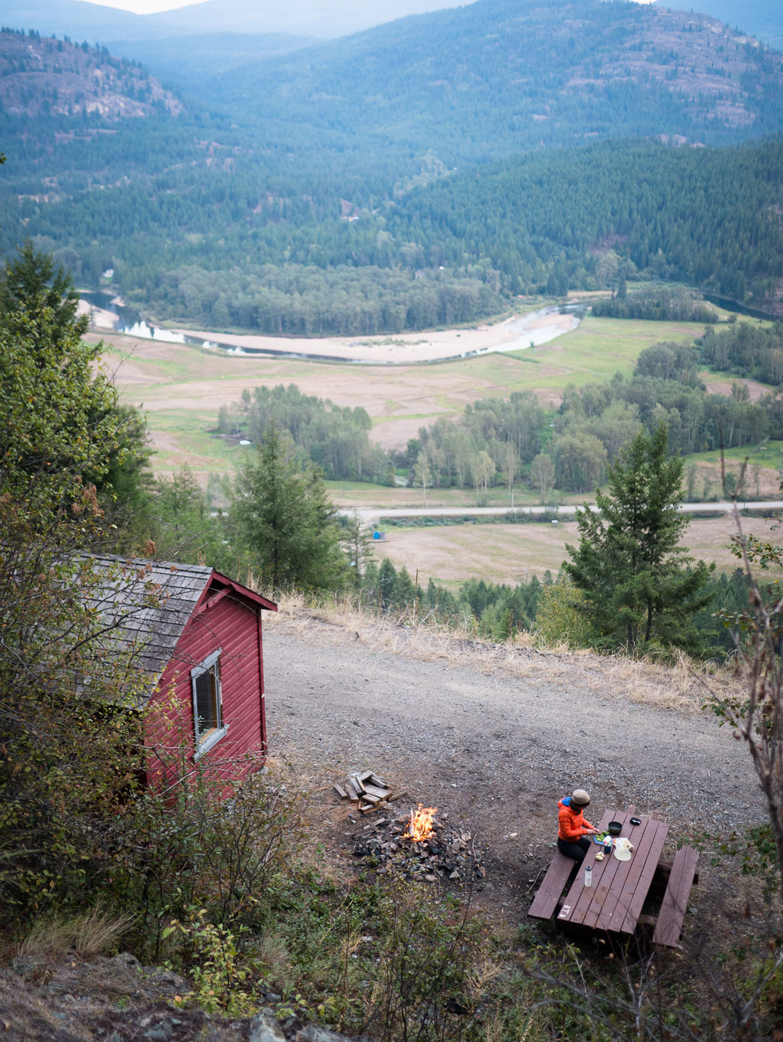
Camping
Food/H2O
Trail Notes
Resources
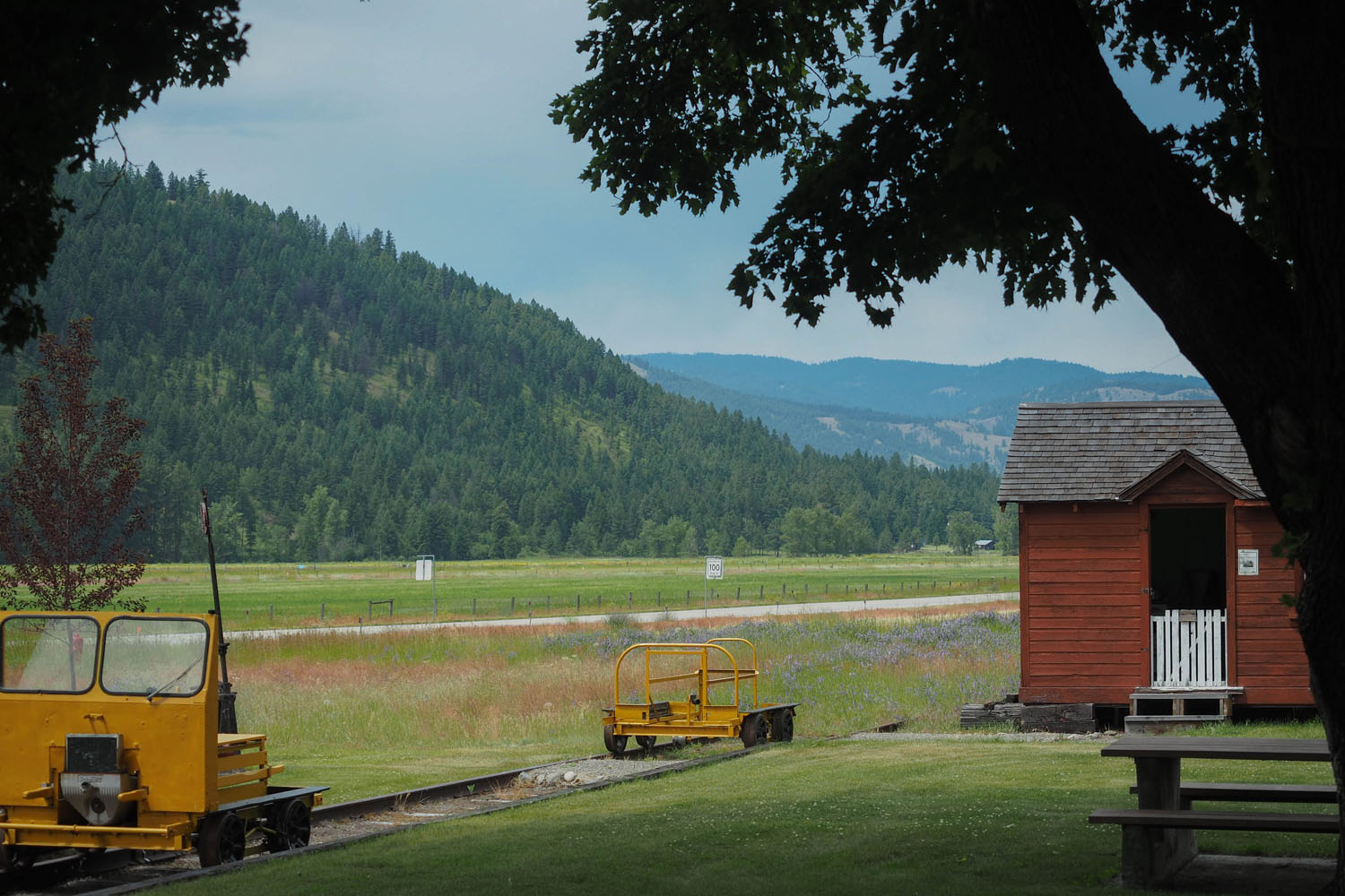
- Travel on what were some of the most expensive rail roads in the world to build through some of most scenic regions of Central B.C.
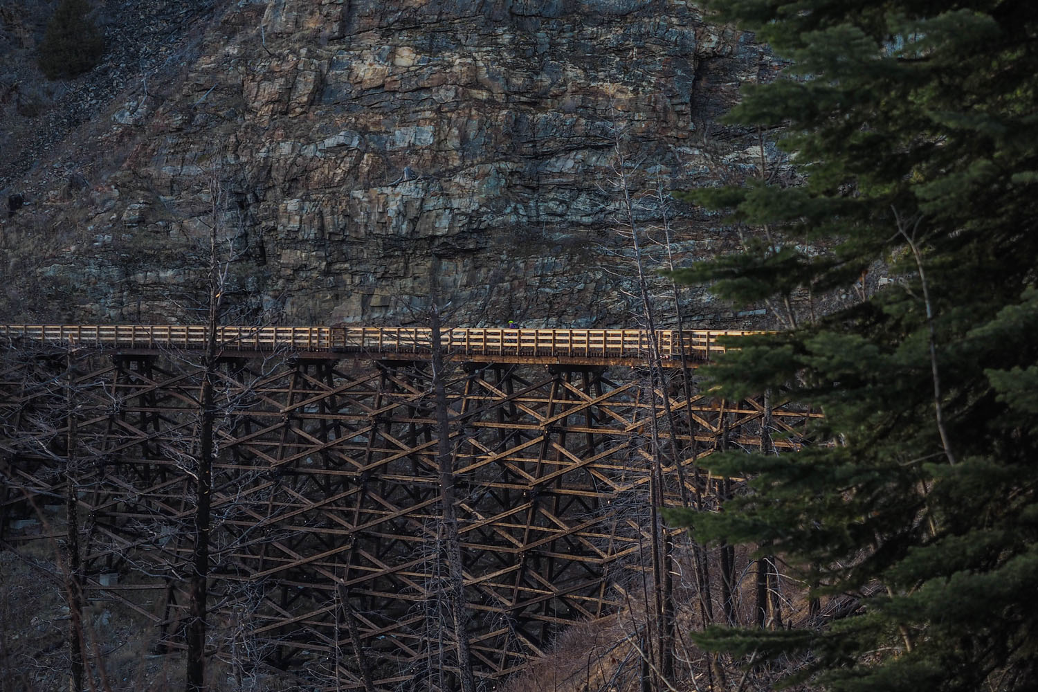
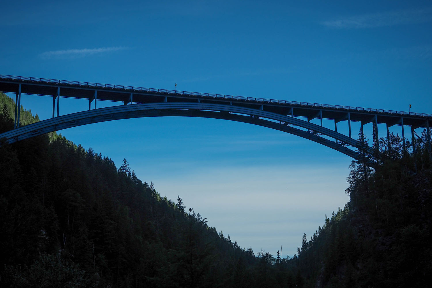
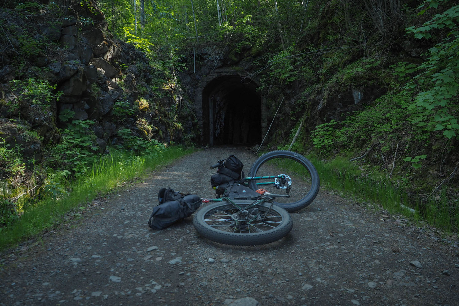
- Trestles and tunnels up to a kilometre long, will remind you of the significance of the railroad in Canadian history.
- Grey Creek Pass is a 1,500m climb over 17km, only those who have reached the top recognize the significance of this small hurdle.
- Ride high above the remote valleys that link some of the resupply points together, each day brings on a new challenge and new rewards.
- Cross from valley to valley with fantastic views into the expanse of mountain ranges, rivers, and lakes beyond.
- The Balfour Ferry across Kootenay Lake before taking on Grey Creek Pass, it’s free and offers fantastic views of local mountain ranges.
- The BC Epic 1000 is a self-supported bikepacking race with a grand depart each June that follows the Trans BC from Merritt to Fernie.
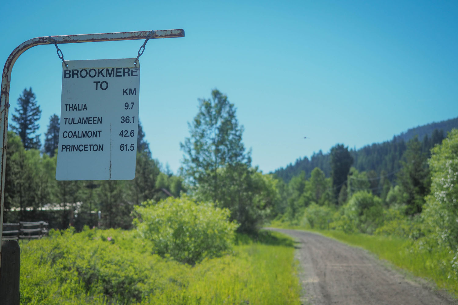
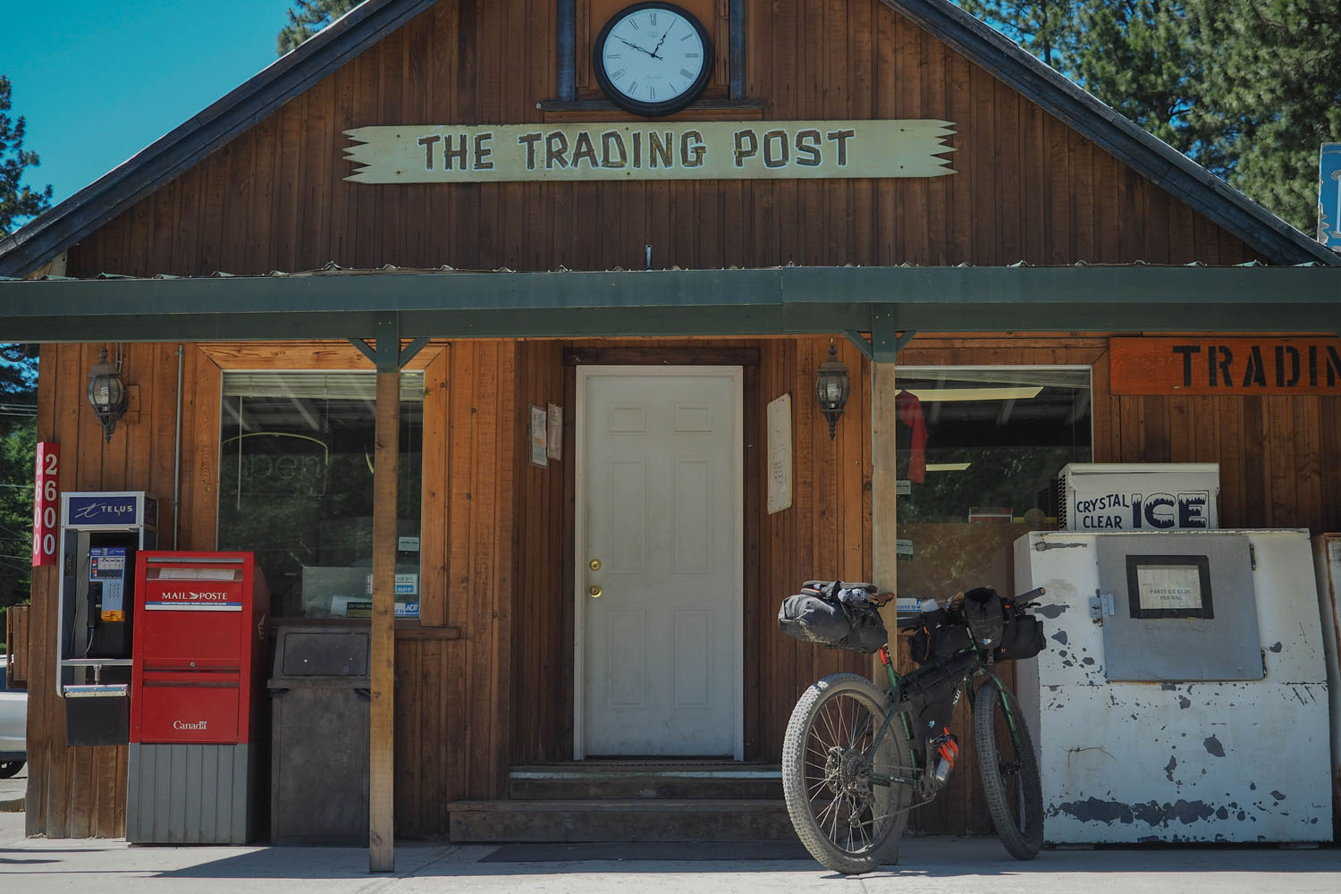
- Passing through several unique geographic regions and quirky towns that provide great resupply points along the way.
- 30km of hard packed flowy singletrack between Cranbrook and Wardner via the Chief Isadore Trail.
- Do not underestimate the terrain. Although the route follows a great portion of the Trans Canada Trail, now known as the Great Trail, most sections are incredibly rough and are slow going.
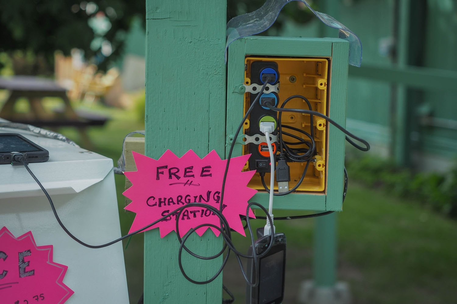
- Cell service is limited and often non existent between towns which can sometimes be up to 8 hours of riding, bring a SPOT or similar communication device.
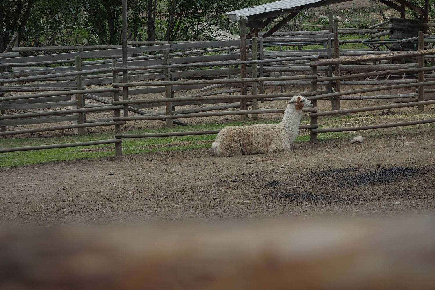
- There are wild animals along the route including but not limited to cougars, black bears, grizzly bears, moose, elk, and llamas. Bear spray is strongly recommended.
- Snow can stick around at higher elevations along the route like Grey Creek Pass and Farron Pass, these sections are usually clear by late June.
- The best time to ride the route is late June to September due to snow, as mentioned above, and grizzly activity between Salmo and Nelson.
- Navigating the BC Trail is not easy and a GPS is highly recommended, make sure you have extra batteries or some way to charge it.
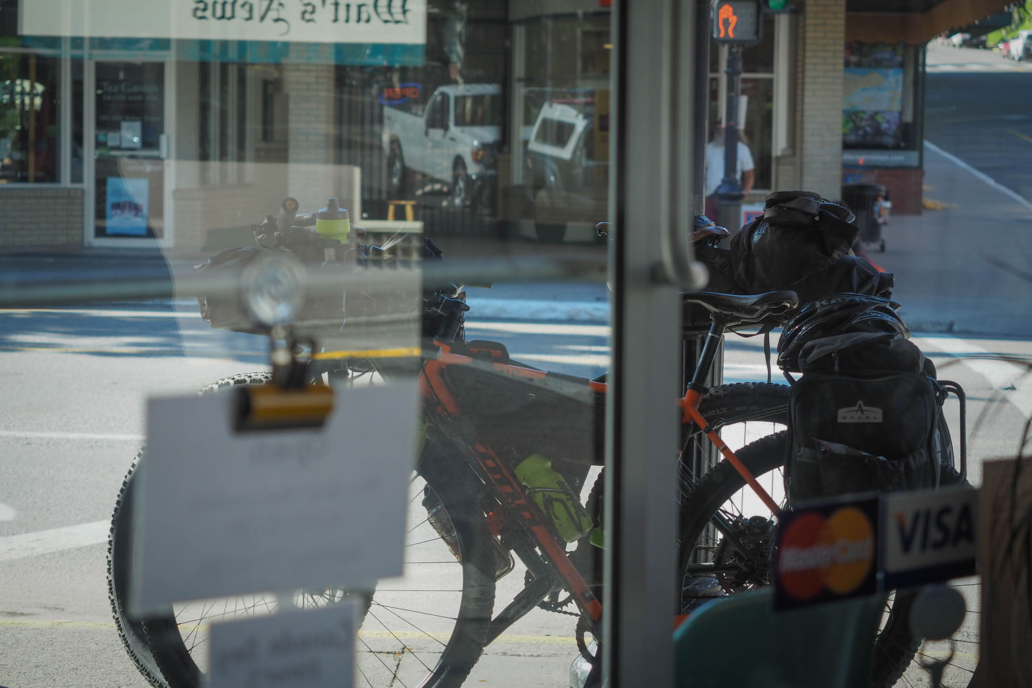
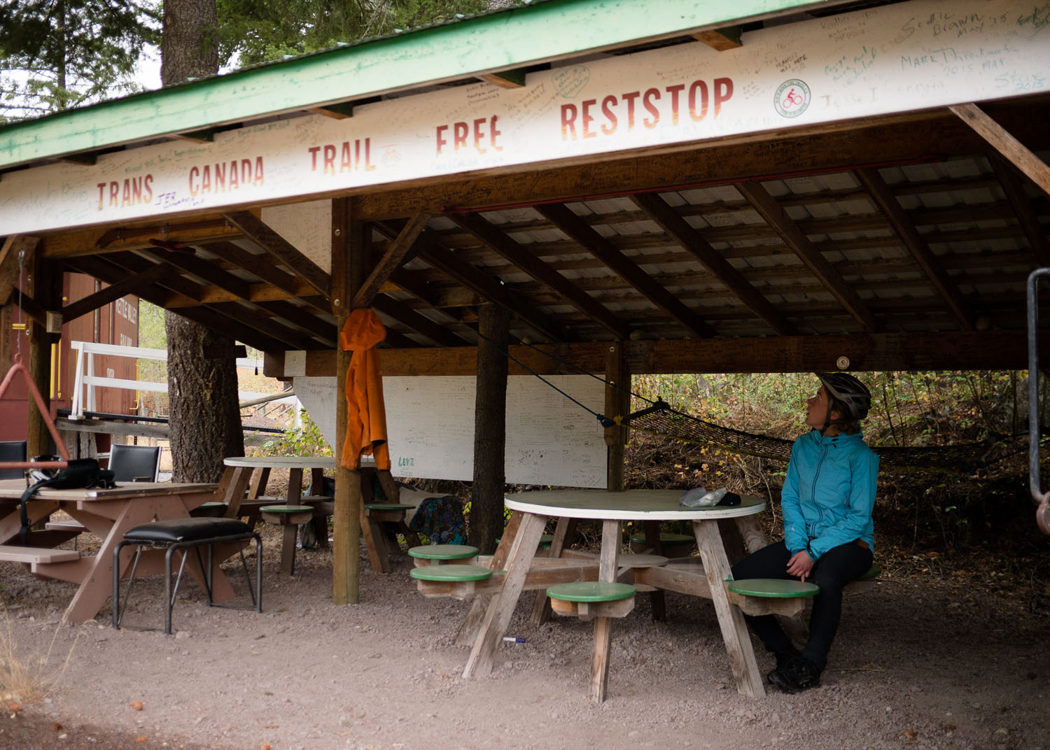
- There’s no shortage of campgrounds, motels, and recreation sites along the route, many of which are labeled on the route map. Most recreation sites are free or only $12 to use, those looking to save cash should take advantage of these options.
- Some small towns close down early in the day, and will then offer no amenities even if they are listed on the route map. If you are forced to stealth camp, do so legally and away from people’s properties. And as always, #leavenotrace.
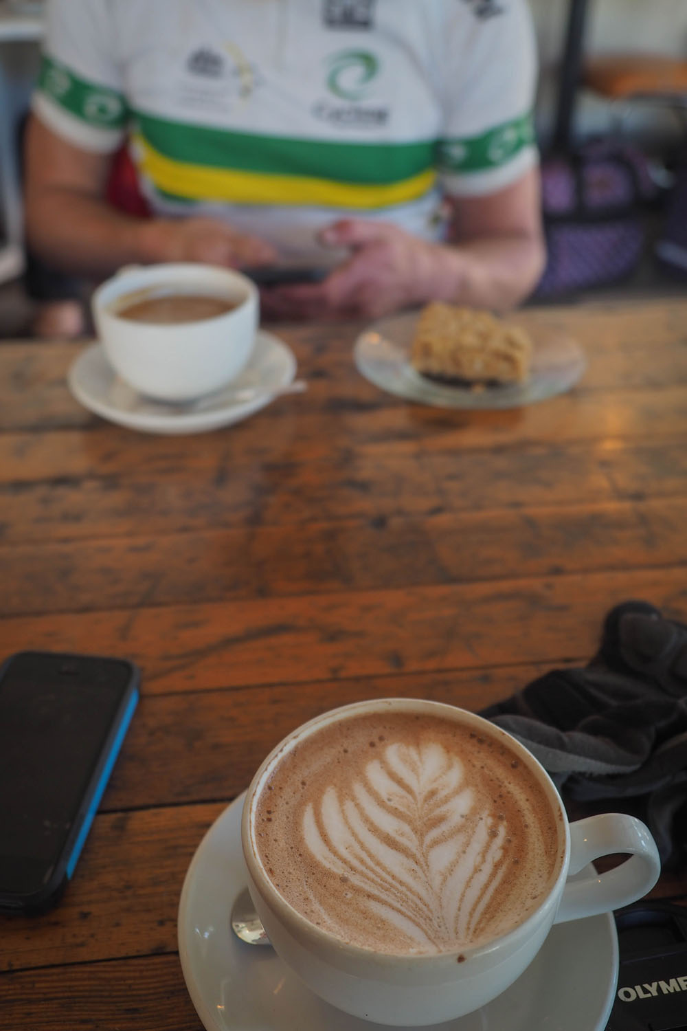
- There are many resupply points along the route, including fantastic restaurants, dodgy gas stations, and premium level grocery stores.
- I carried a breakfast and a dinner on me at all times incase I showed up late to a small town, this was crucial on more than one occasion and a good habit to get into.
- Pack a water purification system of some kind, a pump or tabs, as there is plenty of mountain runoff and small lakes along the route. I did fine carrying a 1.18 litre Klean Kanteen on my downtube and a 750 ml bottle up front, topping them both up as needed.
- You may end up staying in a remote location, far from any store, so be prepared for an impromptu backcountry campout. Do not store food in your tent or where you sleep.
- The majority of the route is rough, chunky, and often very sandy. Plus sized tires or a suspension fork is not a bad idea to help absorb the washboard riddled trails. One of the primary reasons for grand depart riders to drop out is not being prepared for the constant chatter while riding long days. C, chamois cream and proper hygiene are essential for putting in over 150km days.
- All rail grade? No not really. Expect some pushing, some steep descents, and substantial elevation gain each day.
- It is best, if possible, to arrange a pickup at the end of the route but you can pack up your bike and take a greyhound bus if that is your only option.
- Sign the Trans Canada Trail registers in Midway, the Gray Creek Store, and any others you come across, these are used to allocate funding and aid in trail stewardship efforts.
Additional Resources
- Trails BC Website
- The Great Trail Website
- BC Epic 1000 Website
- BC Epic 1000 Facebook Page
- British Columbia Recreation Site Map
- 2017 Grand Depart POV Video from Carl Miller
Have any questions about the route? Miles completed the BC Epic 1000 portion of the route in 5 days, 10 hours during the 2017 Grand Depart and invites any questions to be posted below.


Terms of Use: As with each bikepacking route guide published on BIKEPACKING.com, should you choose to cycle this route, do so at your own risk. Prior to setting out check current local weather, conditions, and land/road closures. While riding, obey all public and private land use restrictions and rules, carry proper safety and navigational equipment, and of course, follow the #leavenotrace guidelines. The information found herein is simply a planning resource to be used as a point of inspiration in conjunction with your own due-diligence. In spite of the fact that this route, associated GPS track (GPX and maps), and all route guidelines were prepared under diligent research by the specified contributor and/or contributors, the accuracy of such and judgement of the author is not guaranteed. BIKEPACKING.com LLC, its partners, associates, and contributors are in no way liable for personal injury, damage to personal property, or any other such situation that might happen to individual riders cycling or following this route.
Please keep the conversation civil, constructive, and inclusive, or your comment will be removed.