


Yuto Watanabe on the Grand Staircase Loop


In this Route Report, Yuto Watanabe checks in after a hot and dusty ride around Utah’s Grand Staircase Loop, bringing back a wealth of great photos from the area’s meandering dirt roads and rugged canyons. Plus, he offers some thoughts on when to go, where to start, and what to look out for…
PUBLISHED Jul 6, 2018
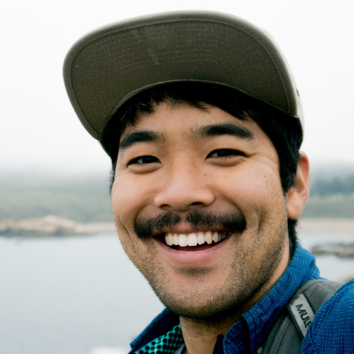
Words and photos by Yuto Watanabe (@yutowata)
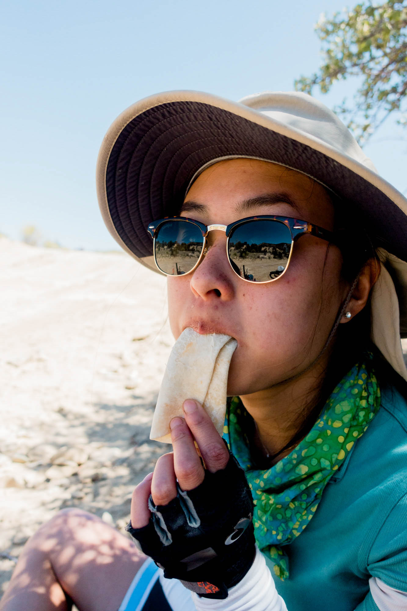
This May, we drove out to Utah with our bikes to take on the Grand Staircase Loop. Being relatively novice bikepackers, there were a few things that made us nervous. Forecasts were predicting 90+ degree weather, recent trip reports warned of lack of water on the route, and the difficulty rating was increased on the route guide from a 4 to a 6 just two weeks before our departure. By that point, however, all the planning and logistics were in motion. More importantly, our hearts were set on the route, so we went for it.

Being a loop, it’s possible to start almost anywhere along the route. We picked up the route at Grosvenor Arch since that put the gas station stop in Big Water about half way through the trip, making for a convenient food and water resupply point. Also, the dirt road is relatively well-maintained, so even our small 2WD hatchback could make it to Grosvenor Arch from Big Water or Canyonville without any problems (as long as there is no mud, of course). Starting at the arch also allowed us to easily organize a water drop at the turnoff near Escalante by having a guide company make a short drive out. This water drop was essential given the predicted heat and uncertainty of water availability from streams.
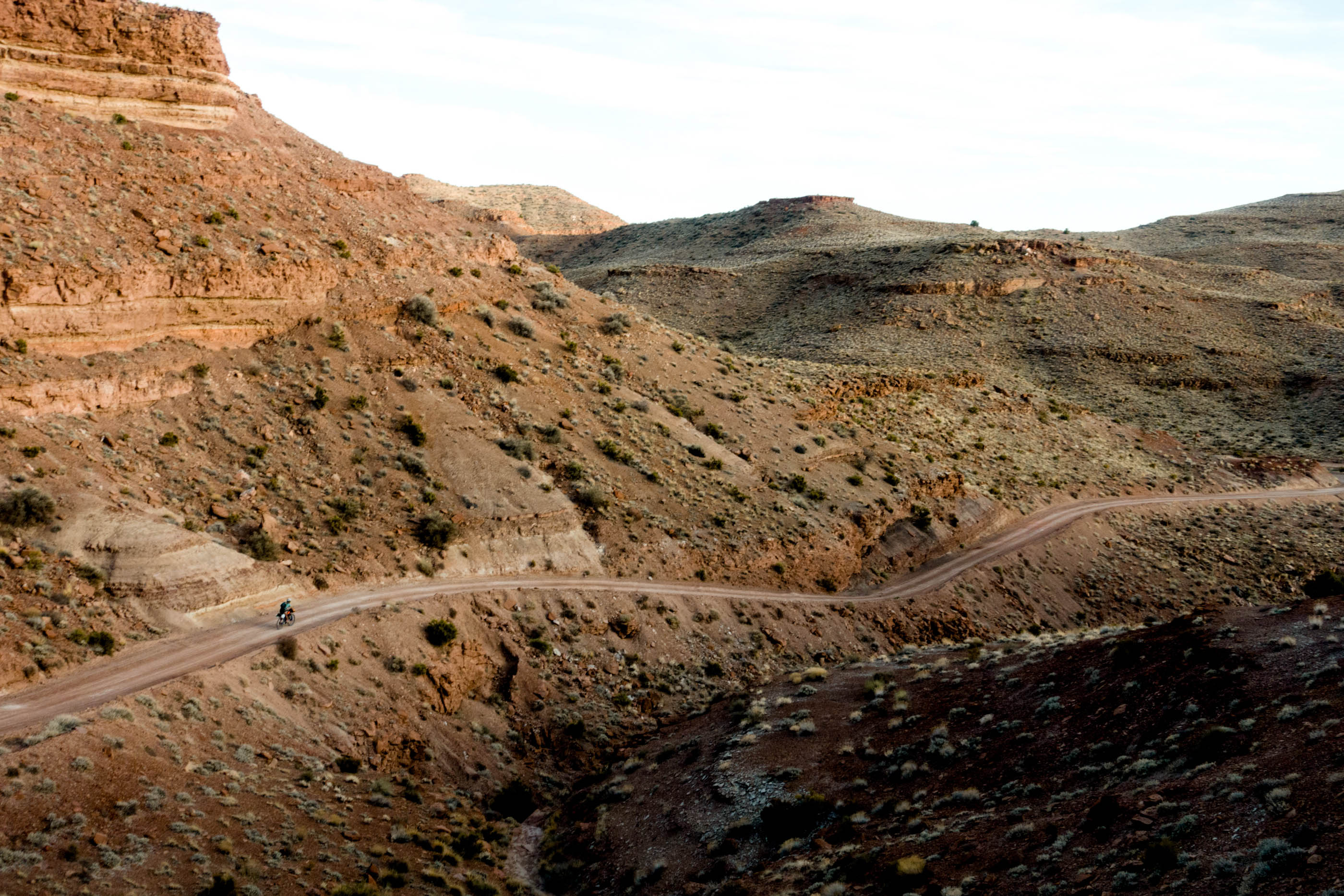
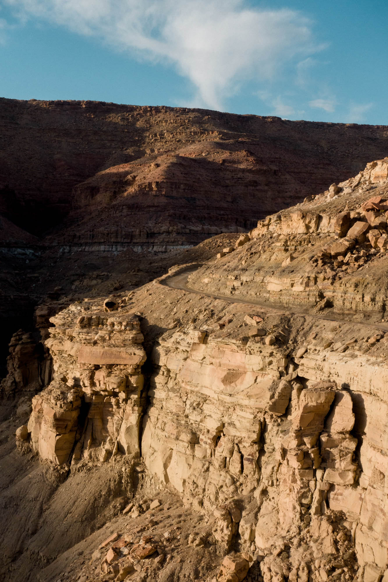
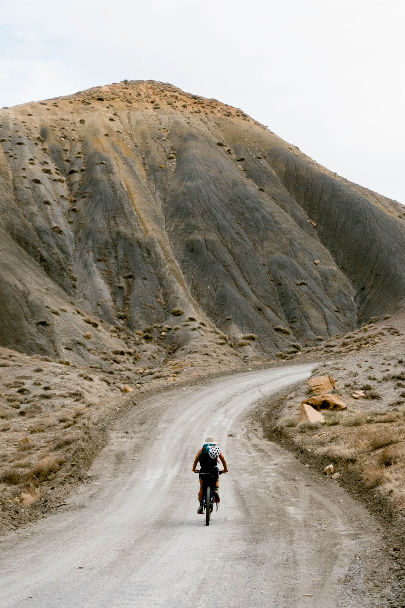
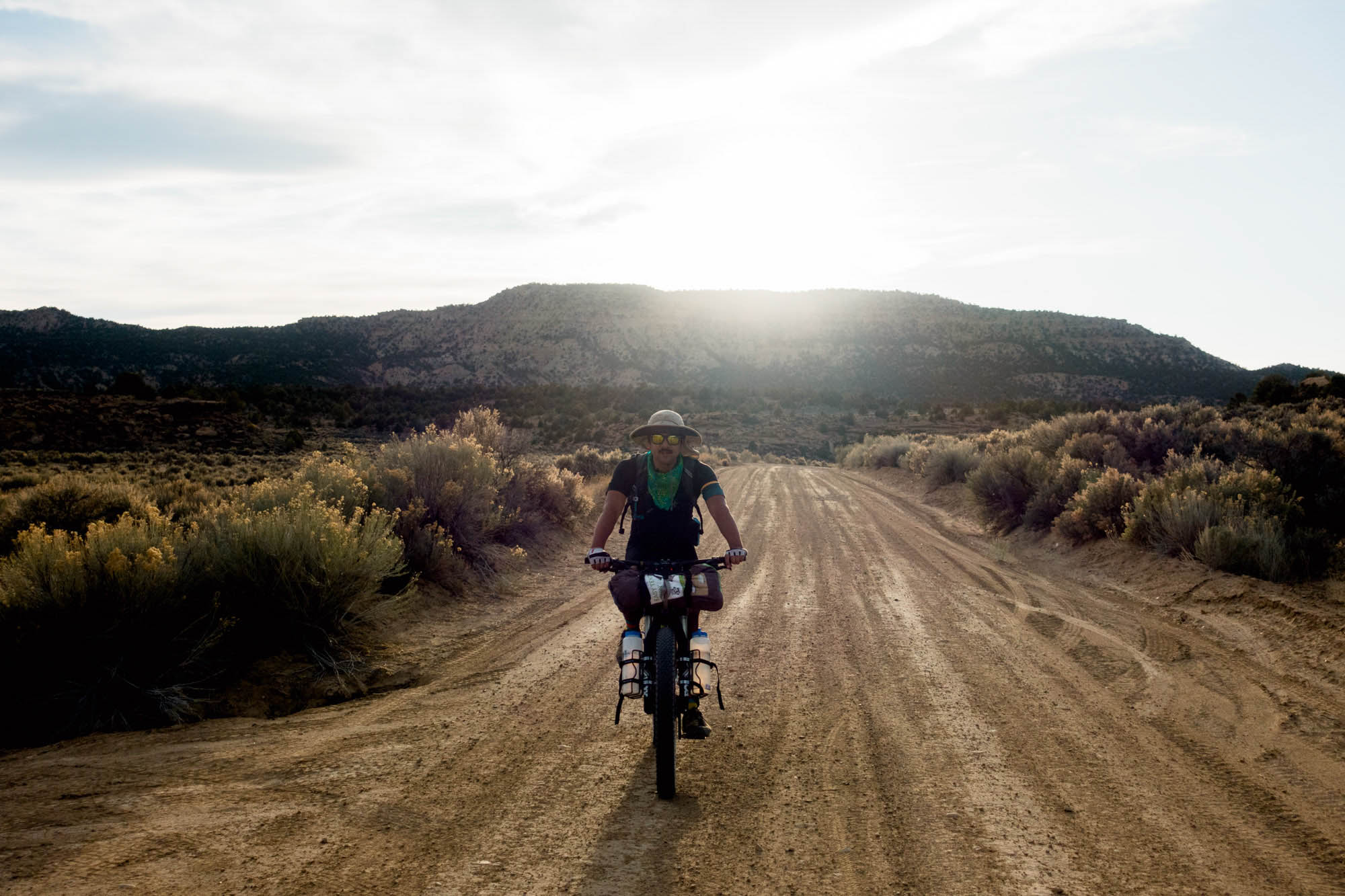
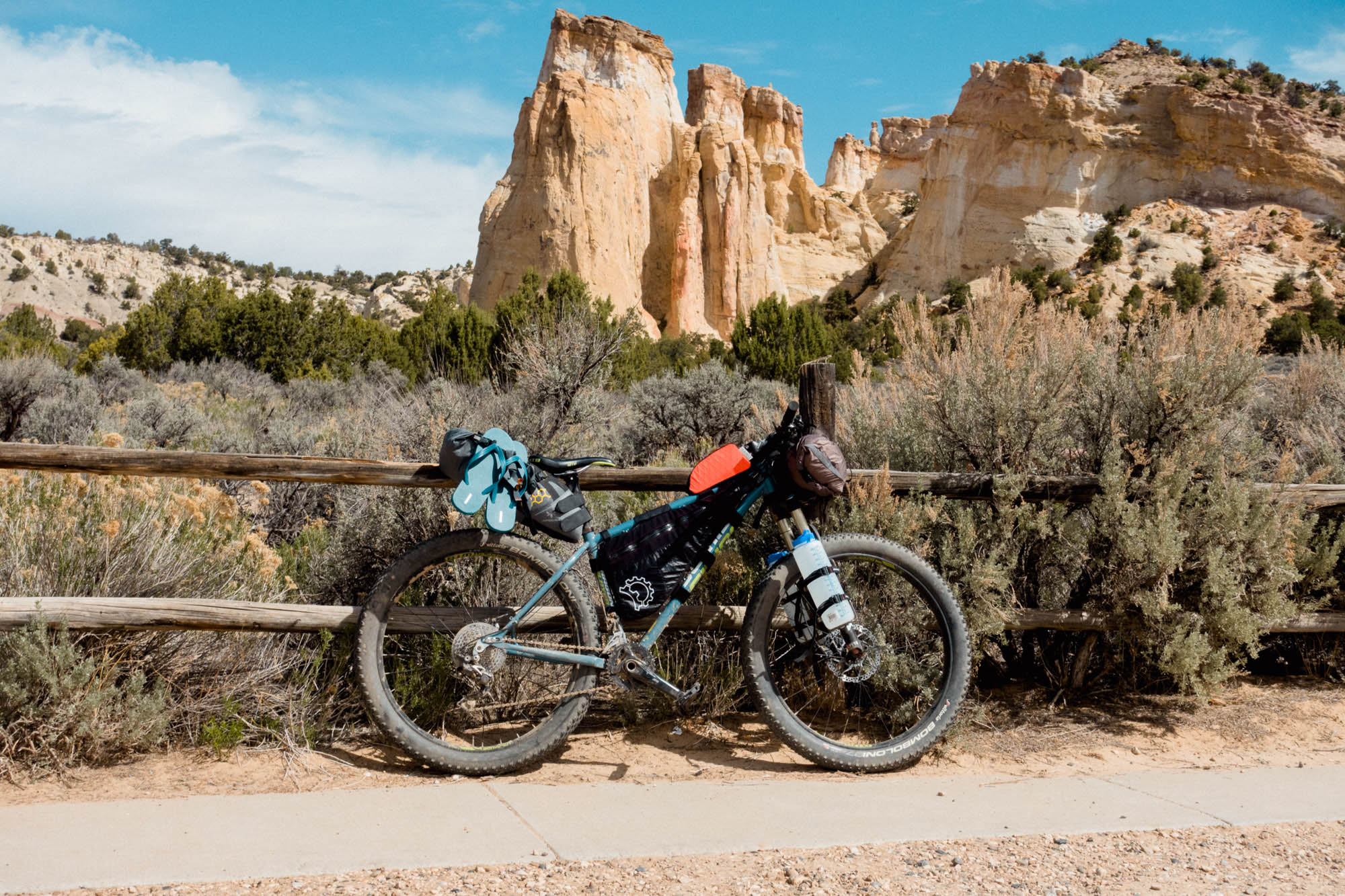
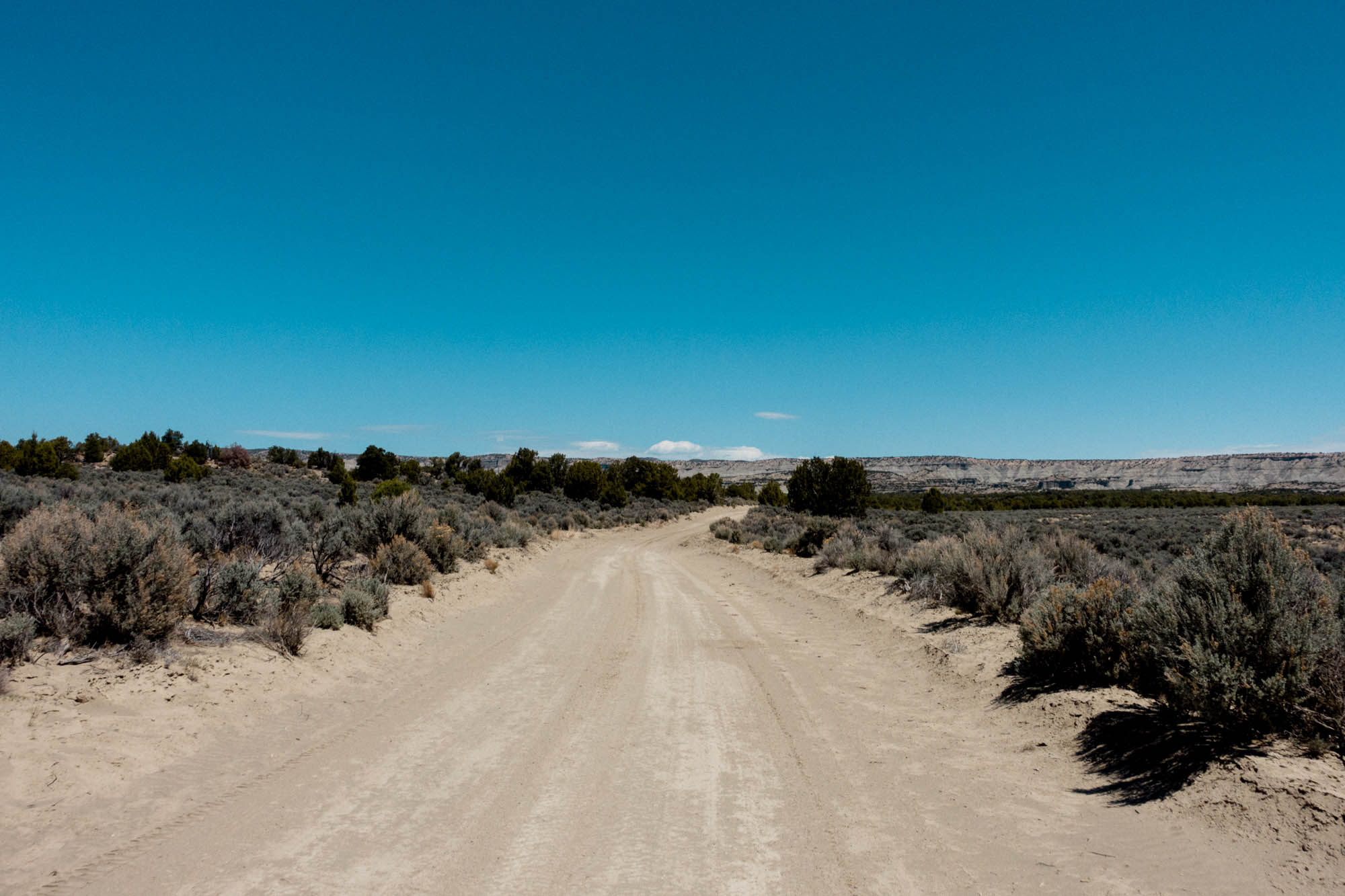
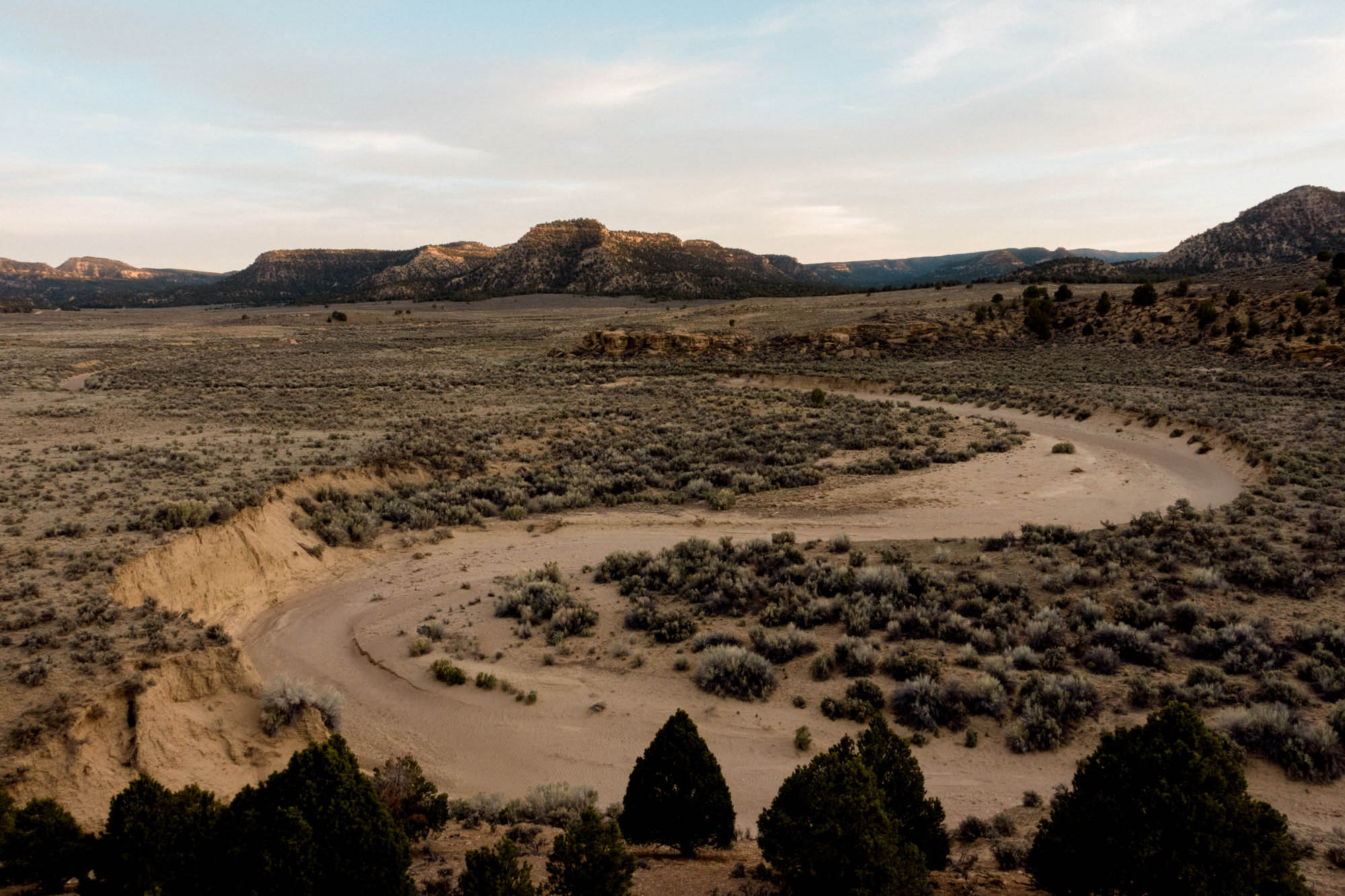
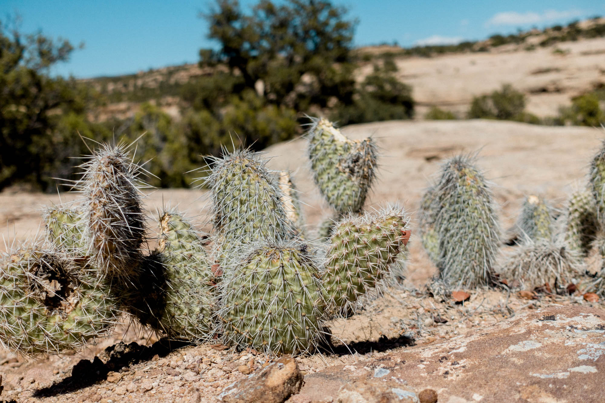
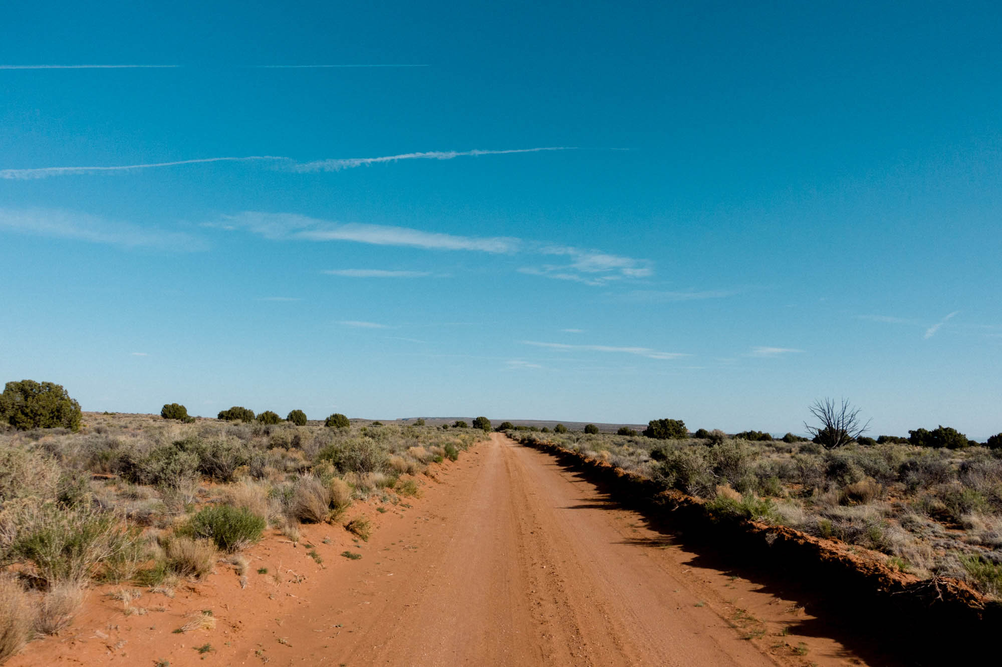
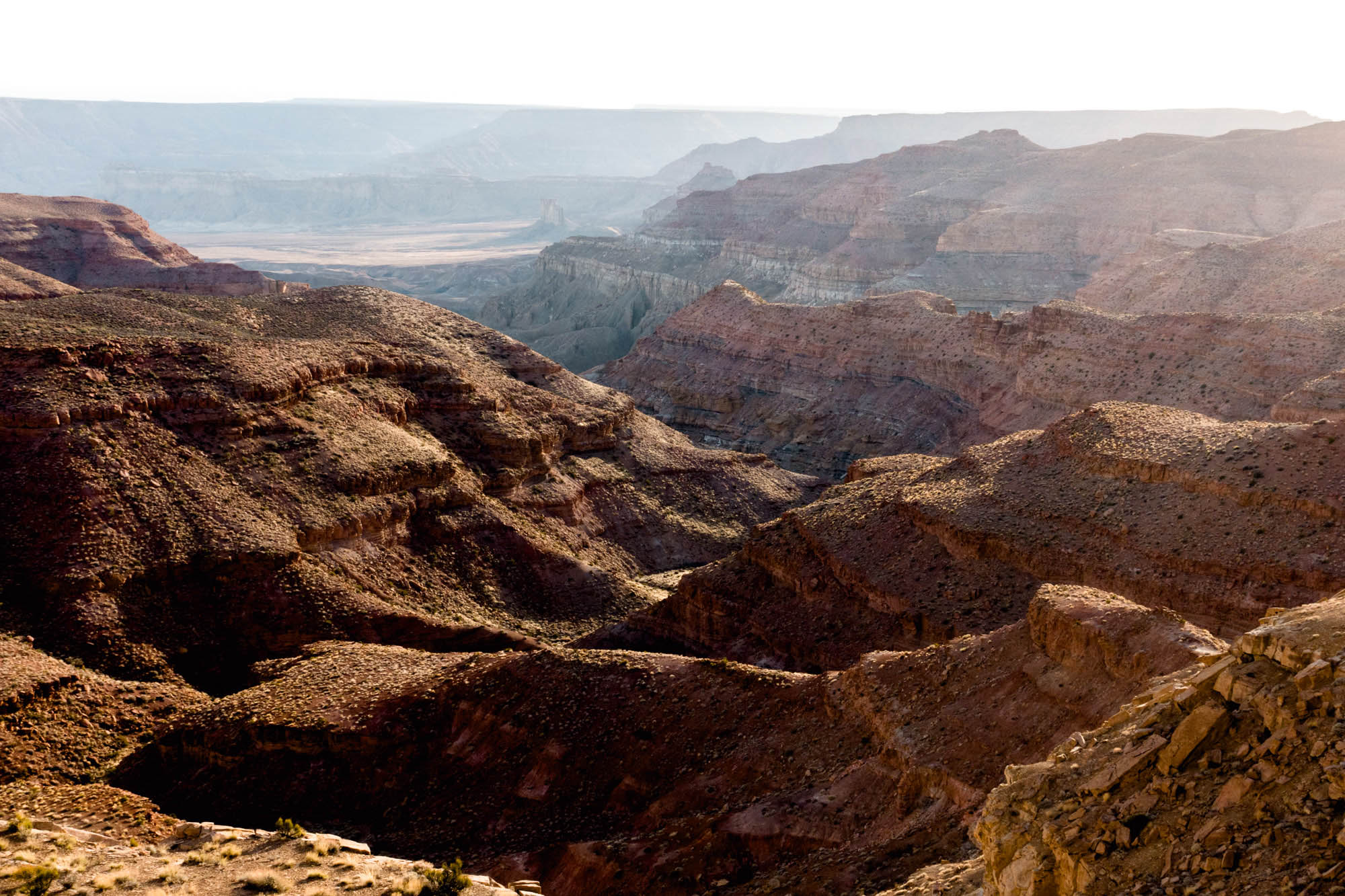
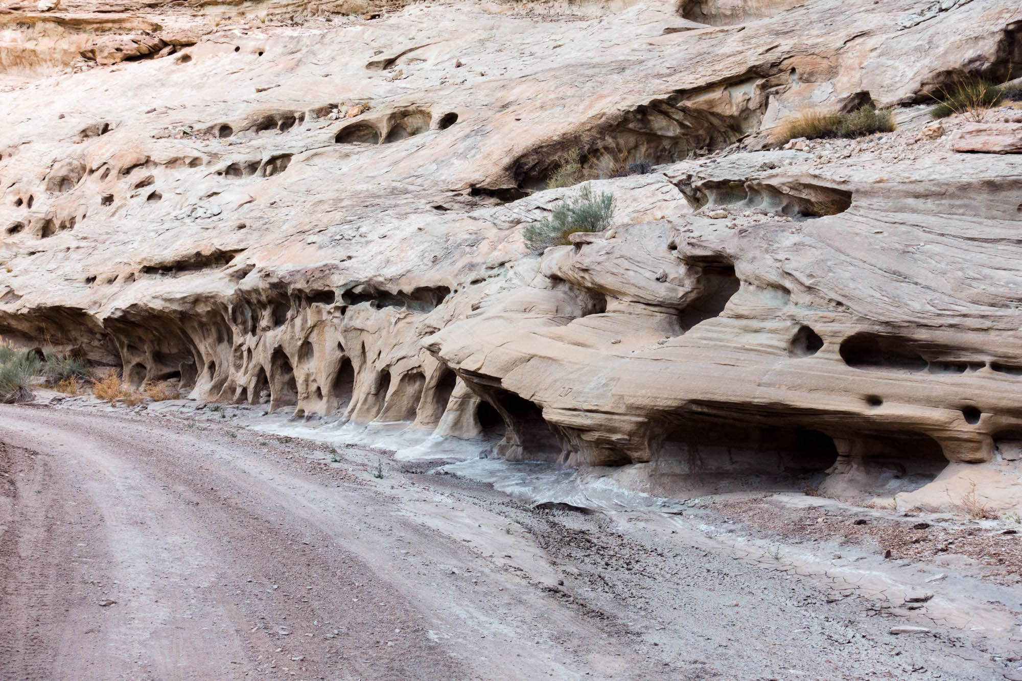
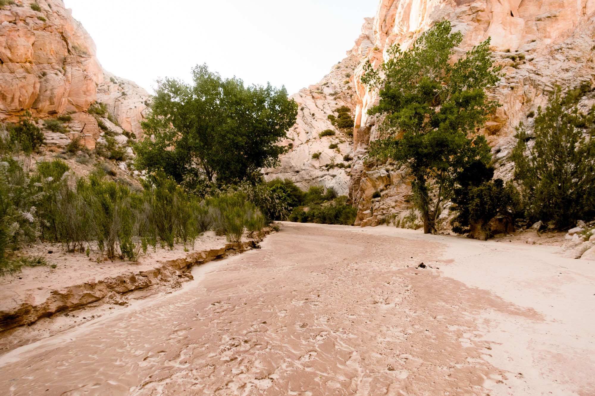
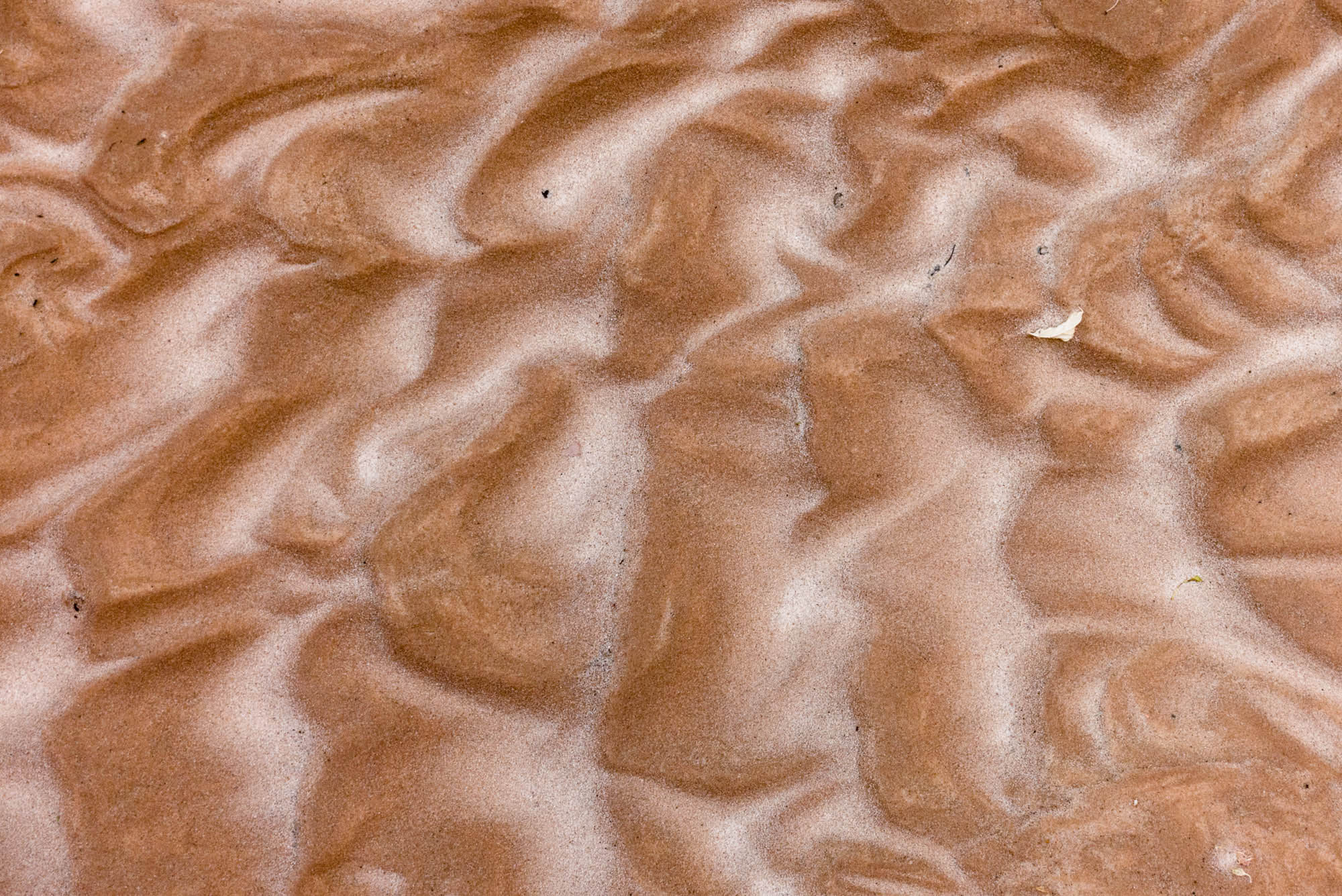
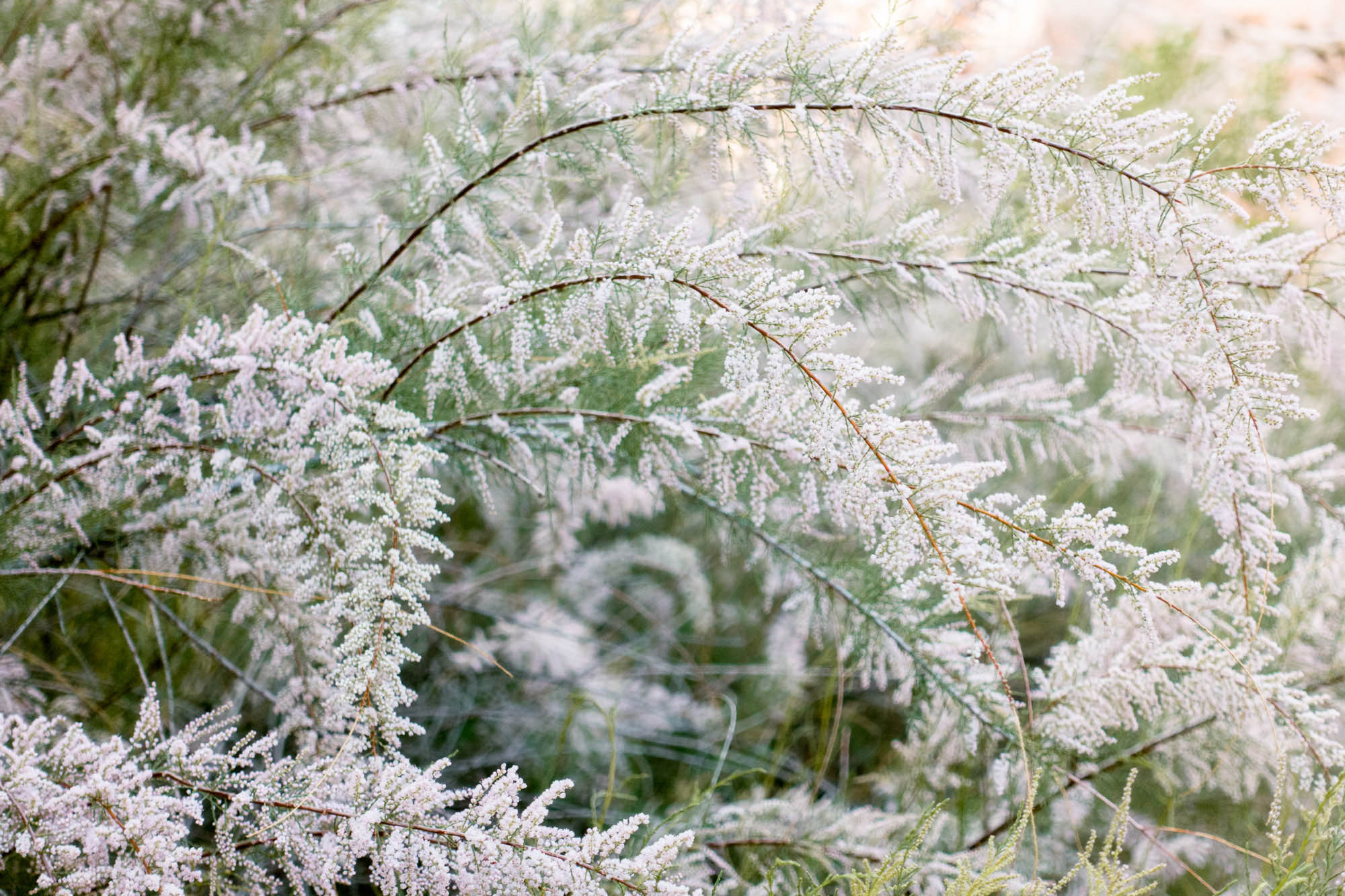
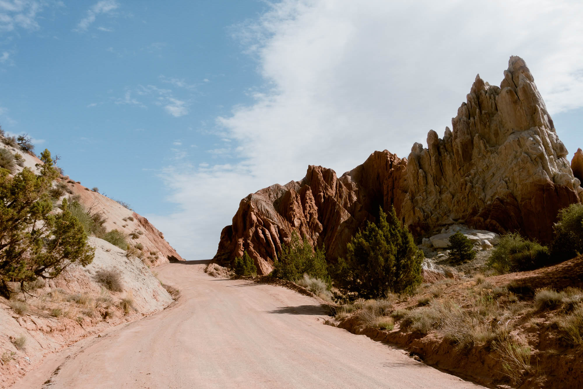
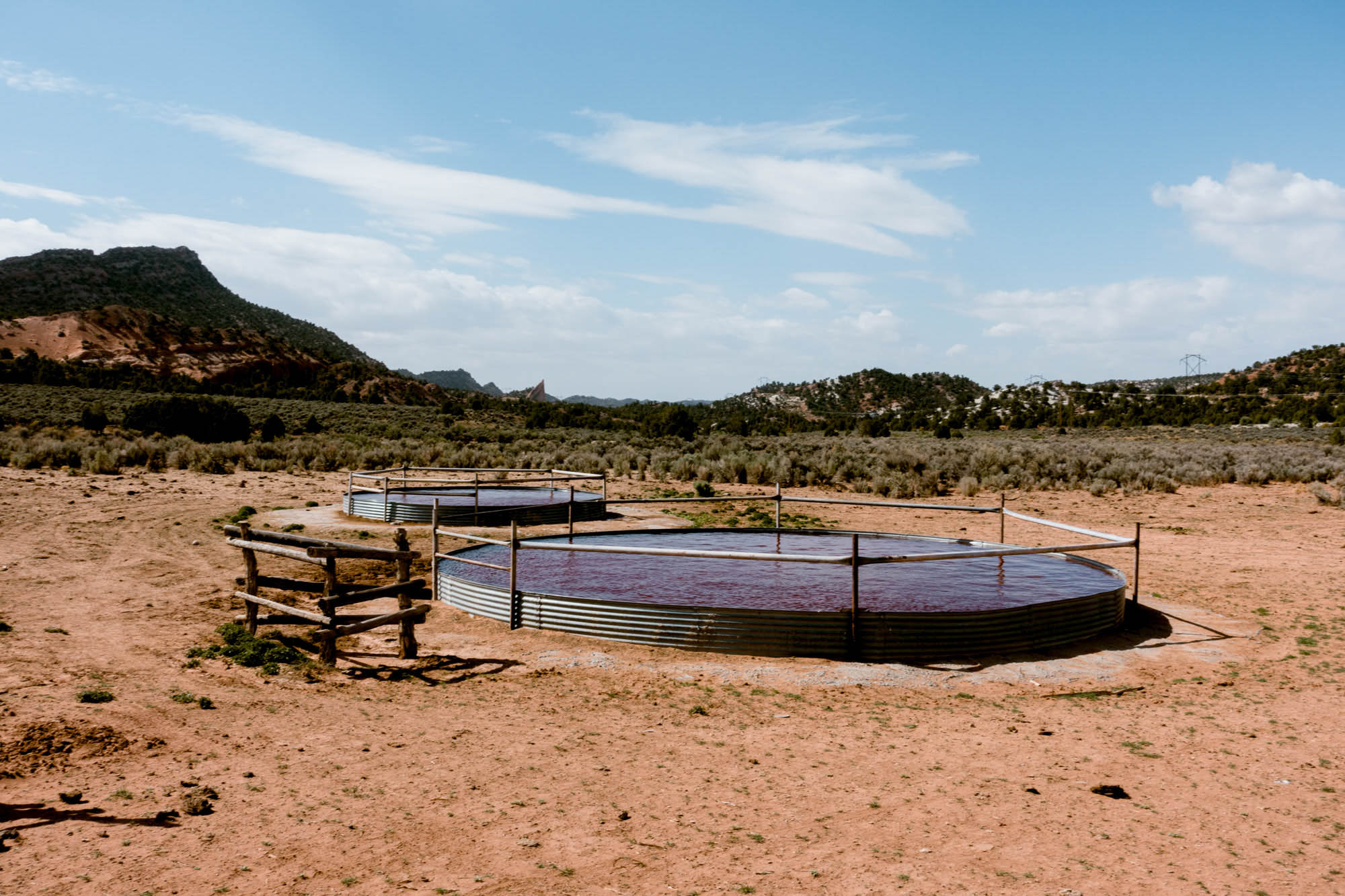
The diversity of landscapes found along the route is simply incredible. The northern section passes through a seemingly deserted road that crosses small ridges and traverses steep and tortuous terrain. This section is by far the most remote, and I wouldn’t be surprised if there were only a couple groups that pass through in a given month. The eastern section is an overall steady descent that approaches mesas until it reaches a plateau that has a long, straight road that disappears into the horizon. The southern section is the scenic highlight – the grand descent of Smokey Mountain Road down into Lake Powell, which is an indescribably exhilarating ride. The western section is bursting with lush greens from the Paria River and colorful geologic formations along upper Cottonwood Road that look like something from a Dr. Seuss book.
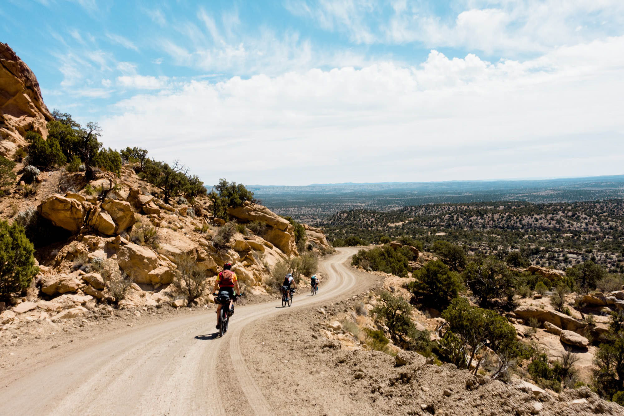


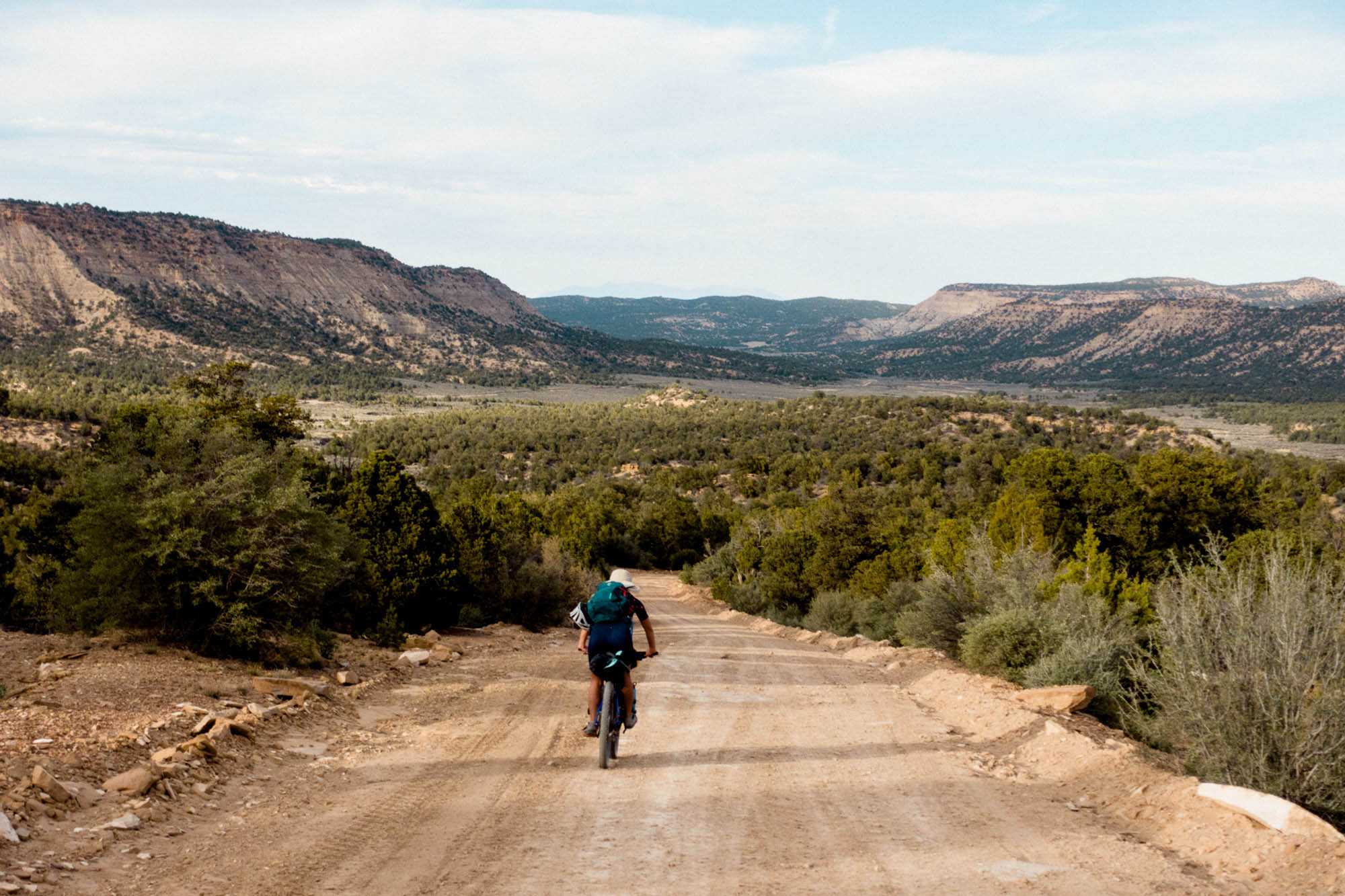
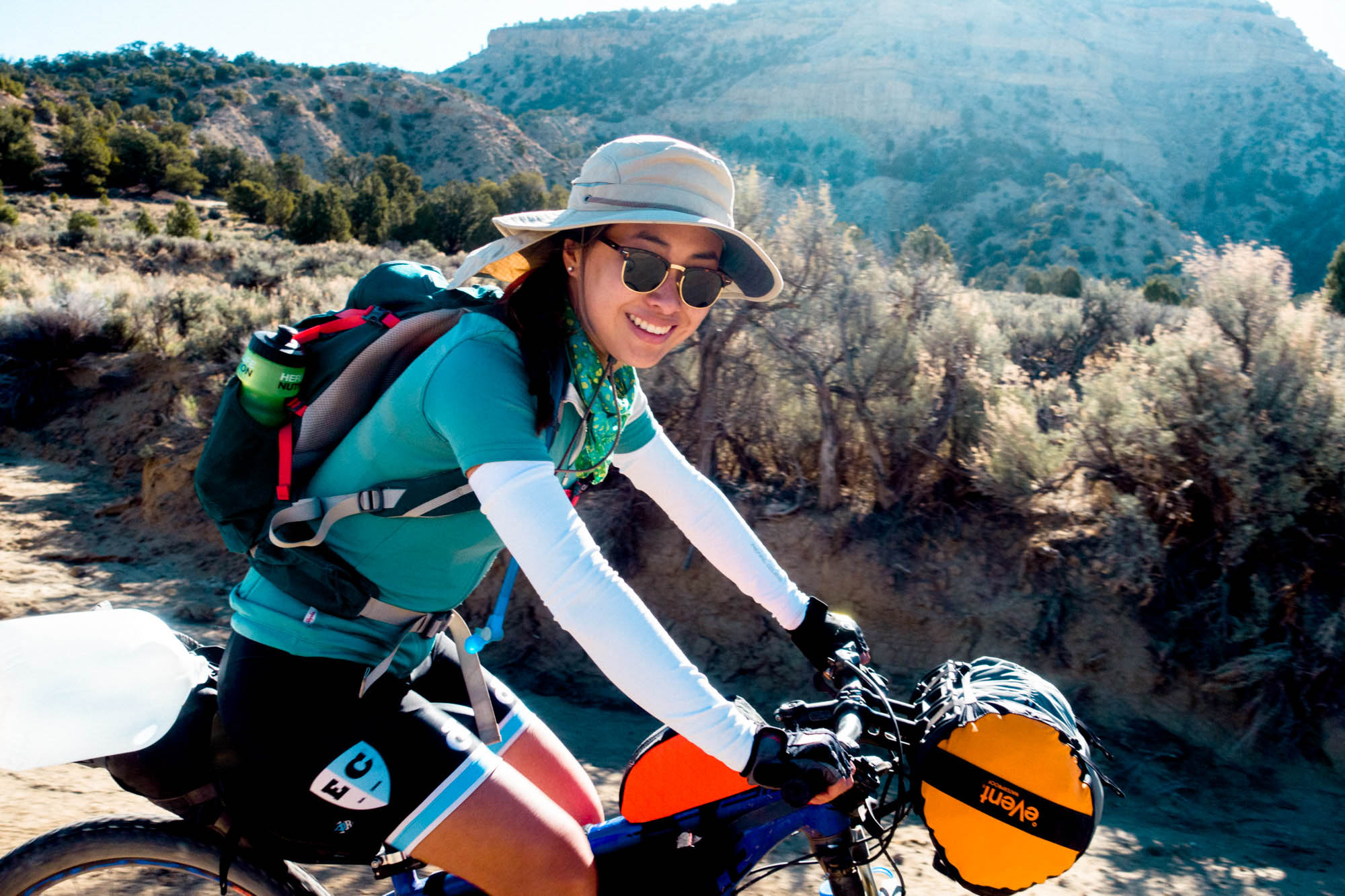
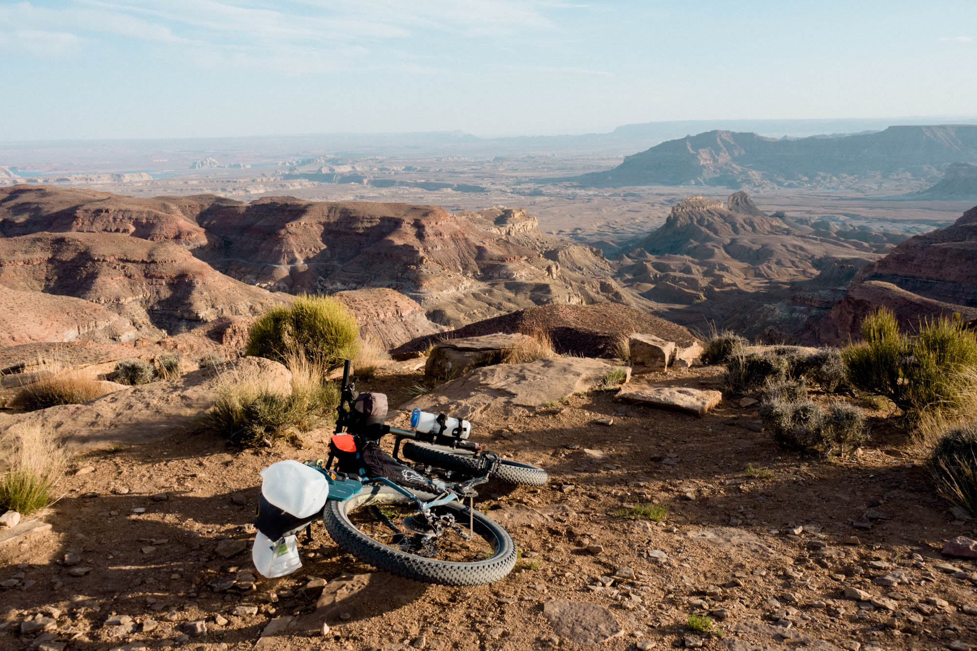
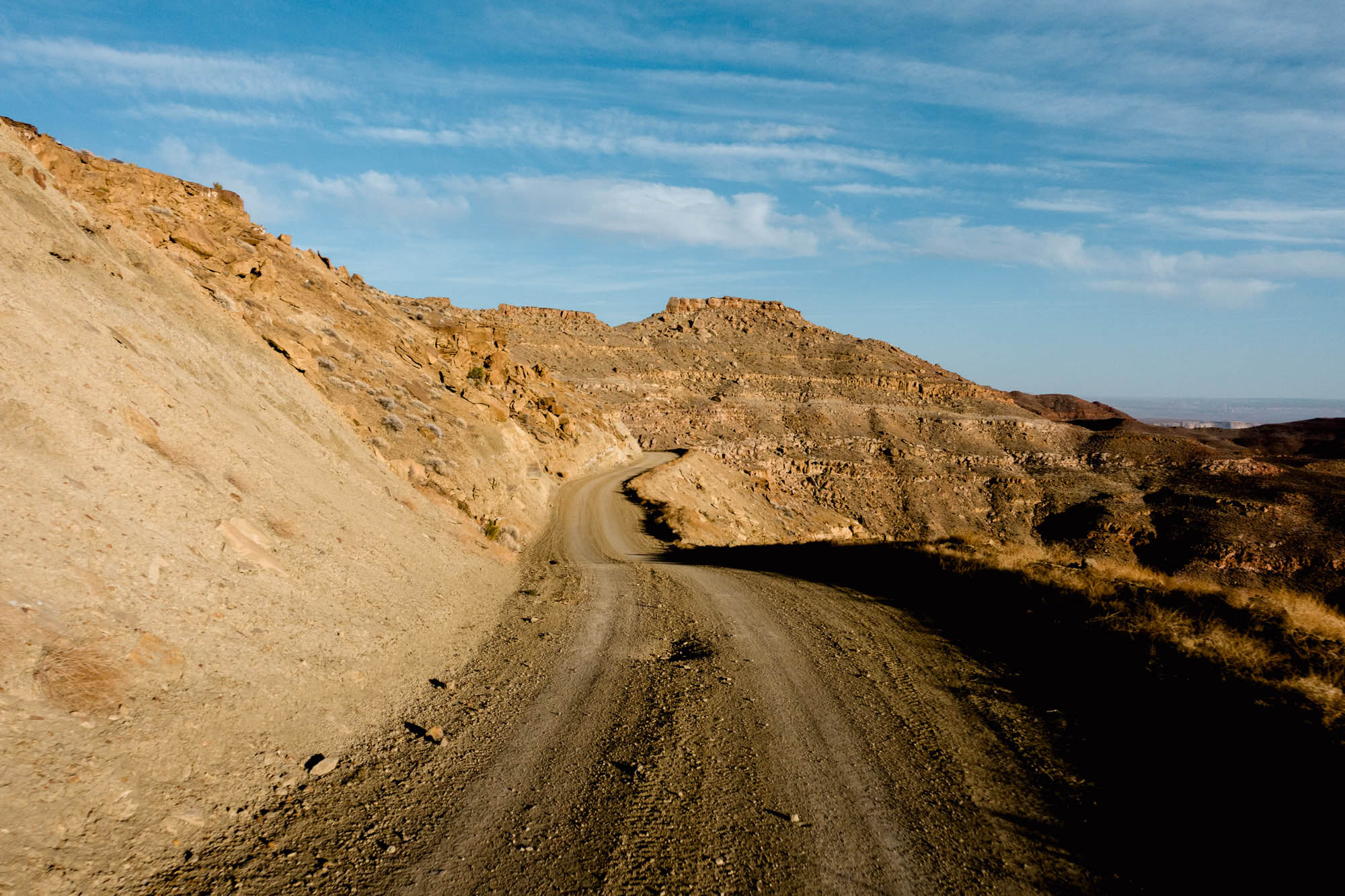
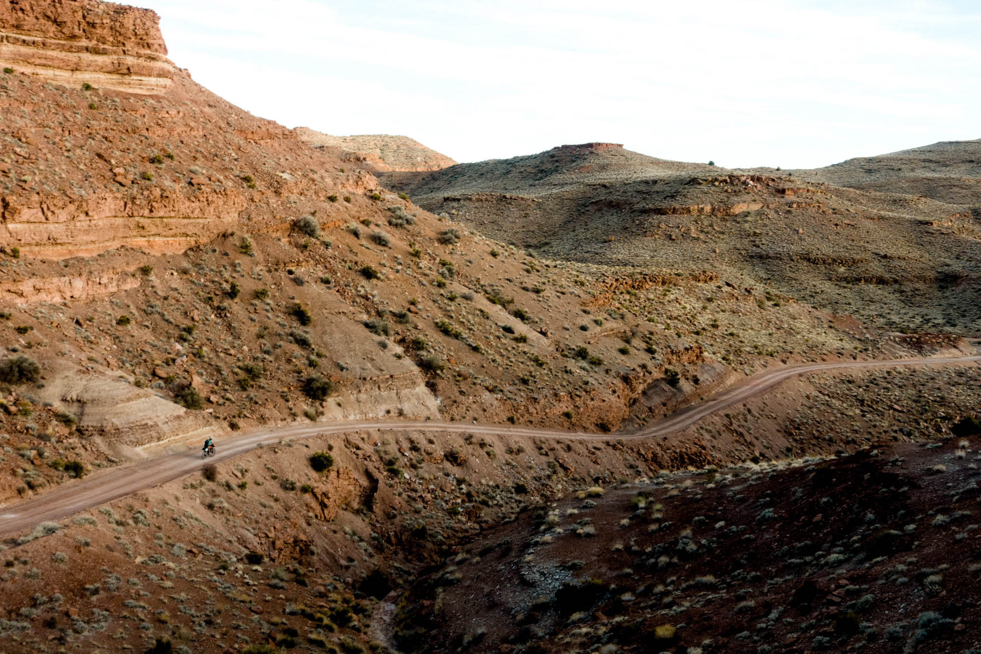

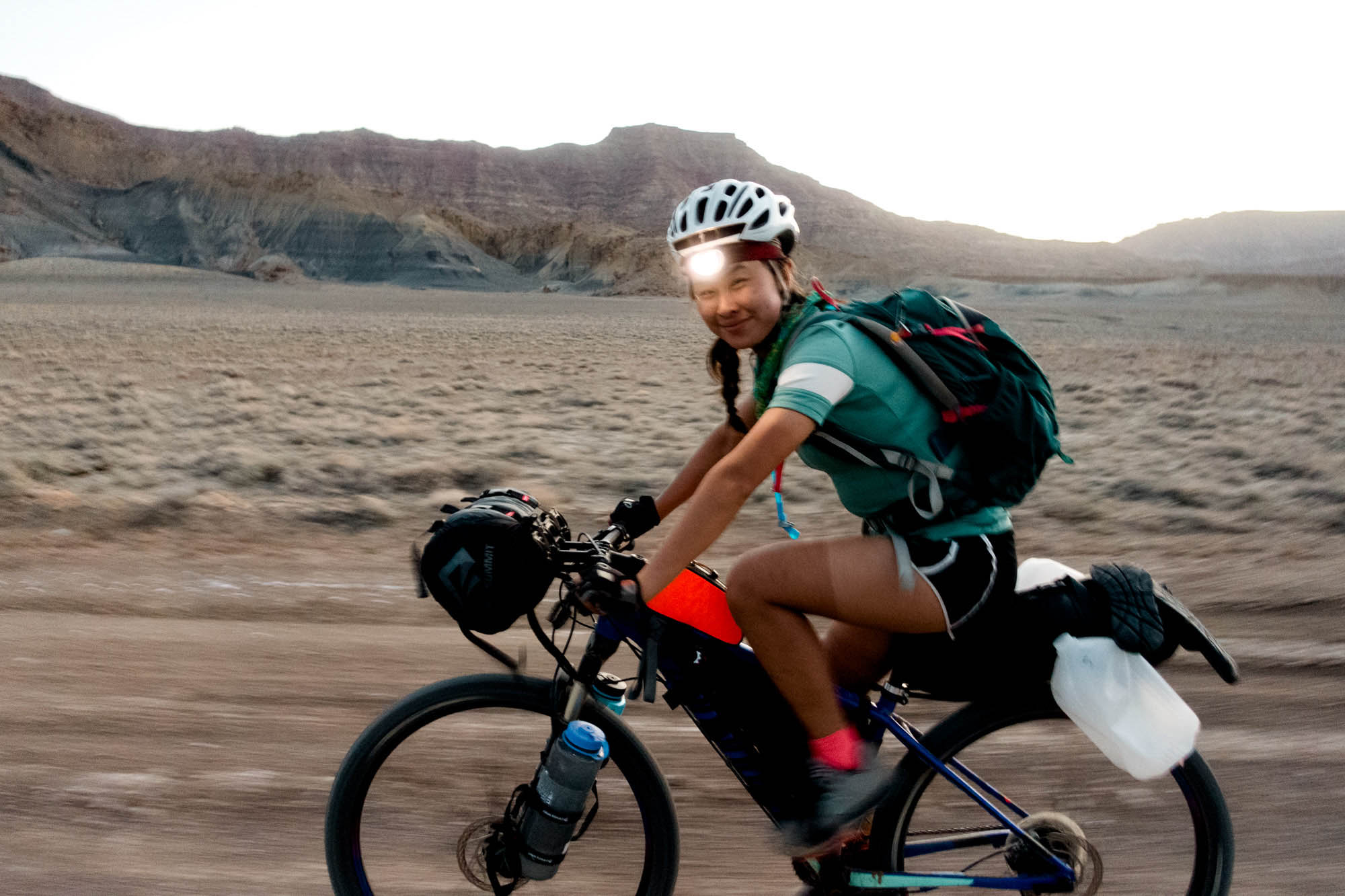
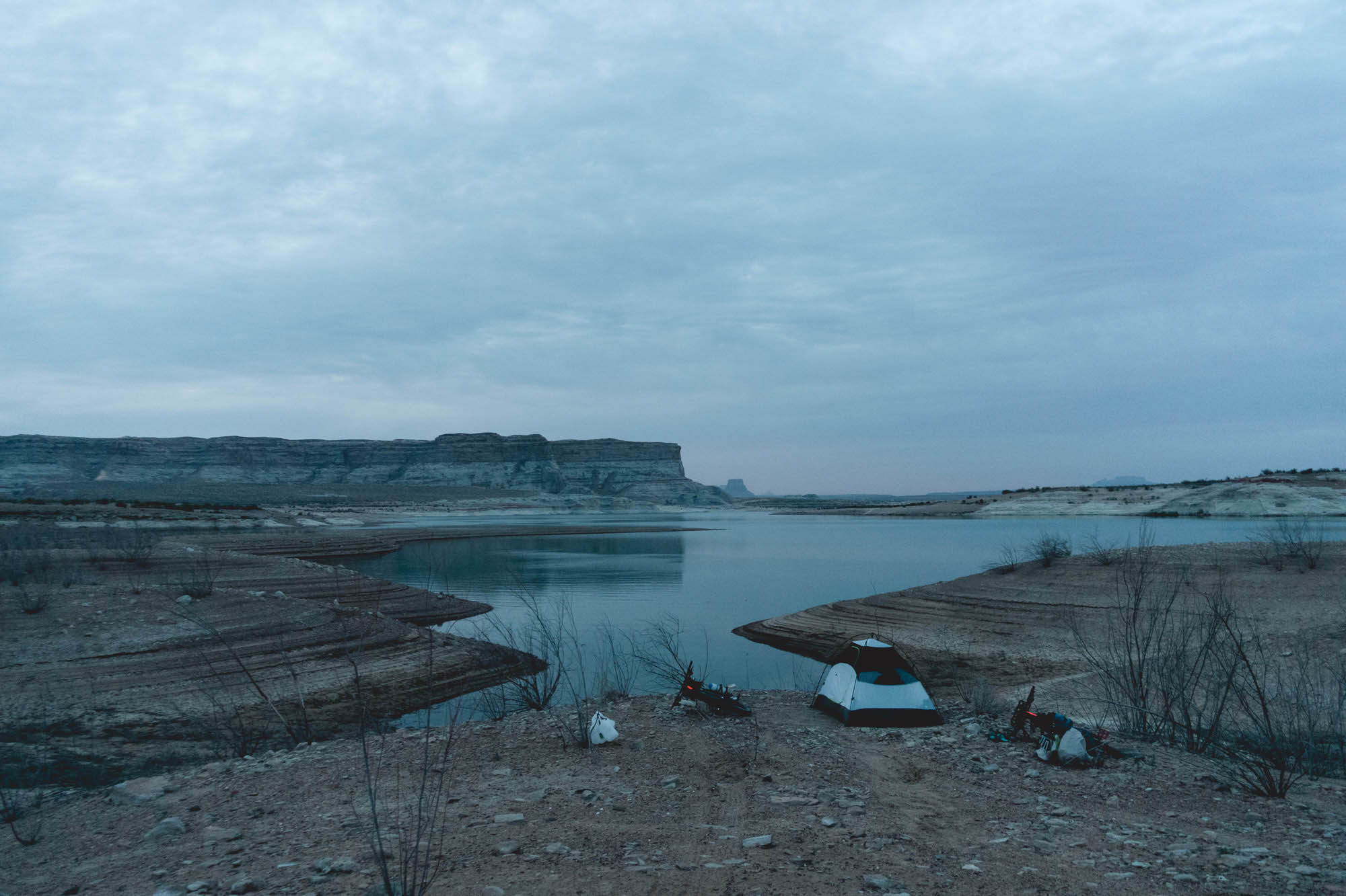


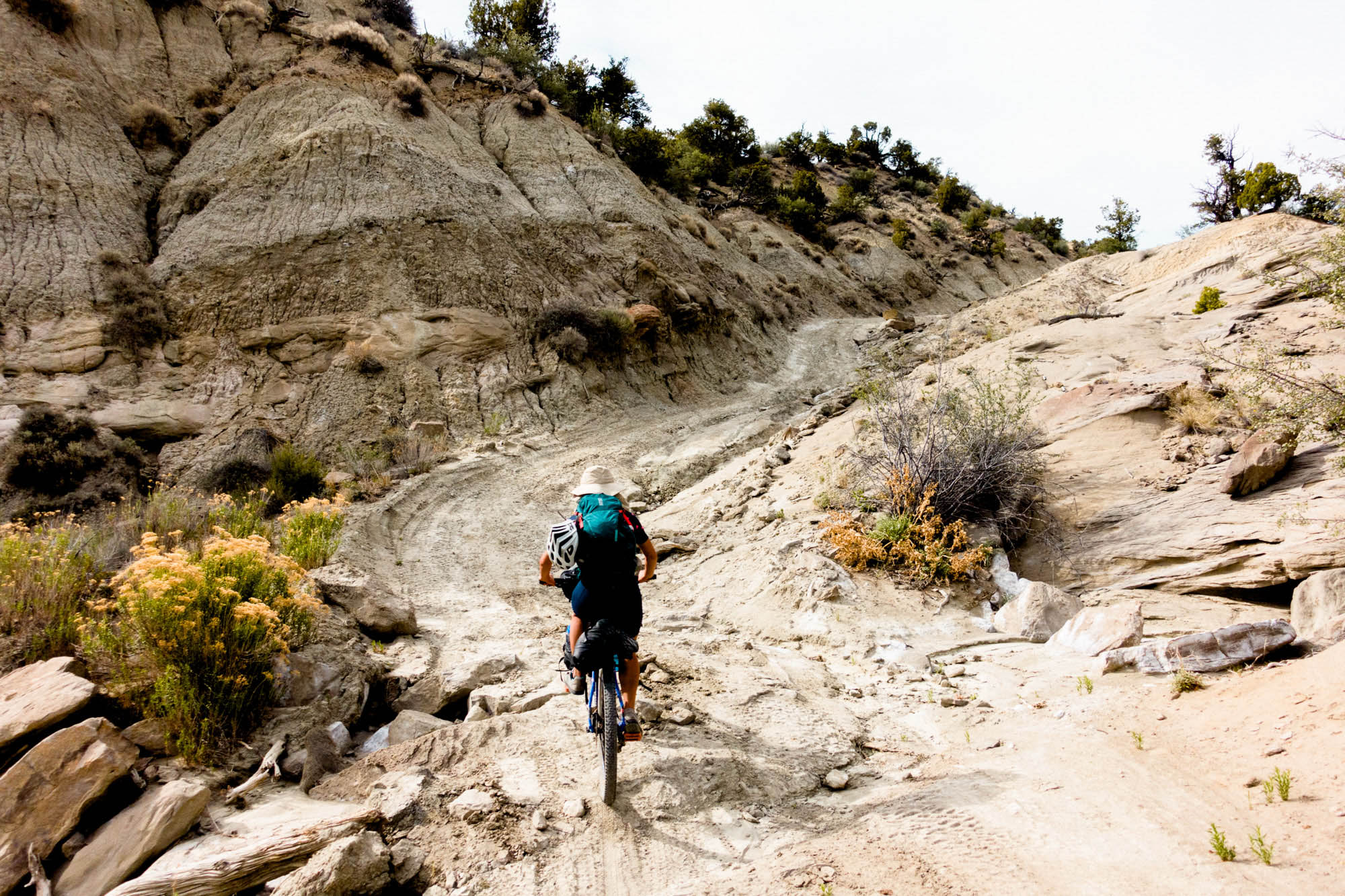


But all of this scenery doesn’t come without its price. The steep, repeated ups and downs of Horse Mountain Road are relentless and quite demanding, both physically and mentally. Pushing bikes slowly up hills gets old pretty fast. The intense heat we experienced on the route meant that we had to carry extra water – I think we all carried 6-8L each. Even with our water drop, the 60-mile day to Lake Powell was quite challenging, and we ended up biking the last hour in the dark using headlights to illuminate the trail. There were strong headwinds on some of the flatter sections that slowed us down considerably, and from time to time they blew clouds of dust into our faces for a little extra fun. I would consider myself a pretty fit weekend warrior, but this was definitely strenuous by any measure. As suggested by the route guide, this route is not for beginners due to the long distances and lack of access to help if needed.
All that said, if you’re the type of person who enjoys the hard work to get to the views, this route is perfect. I would definitely recommend riding earlier than May like we did, when temperatures are lower and the streams are still running. While I think the current route is great, we met a group that took a detour on State Hwy 12 from Cannonville to Escalante and they seemed to have a good time flying on the scenic highway, which might be something worth considering if you’d rather avoid the strenuous section of Horse Mountain.
About Yuto Watanabe
Born in the US and raised in Japan, Yuto Watanabe is an mechanical engineer based in Los Angeles, California. Whereas at work he designs rockets that go to space, in his spare time he daydreams about traveling to remote, undiscovered destinations on Earth. To see more of his photography, visit YutoWatanabe.com or follow him on Instagram @yutowata.
Please keep the conversation civil, constructive, and inclusive, or your comment will be removed.