


Central Ontario Loop Trail (COLT)
Distance
284 Mi.
(457 KM)Days
5
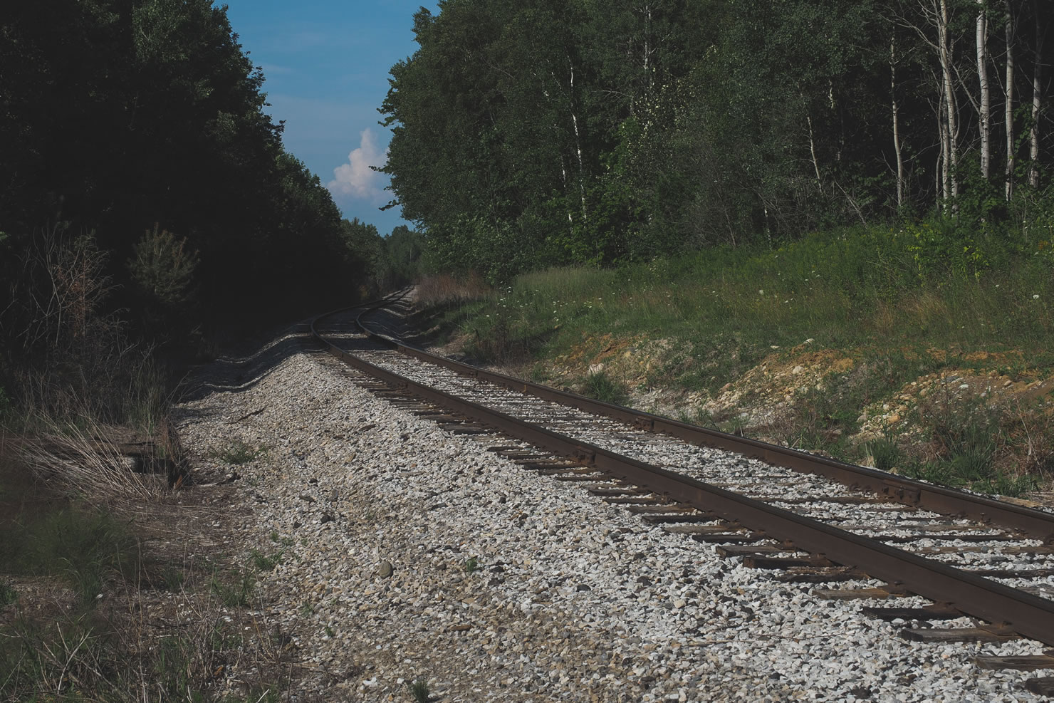
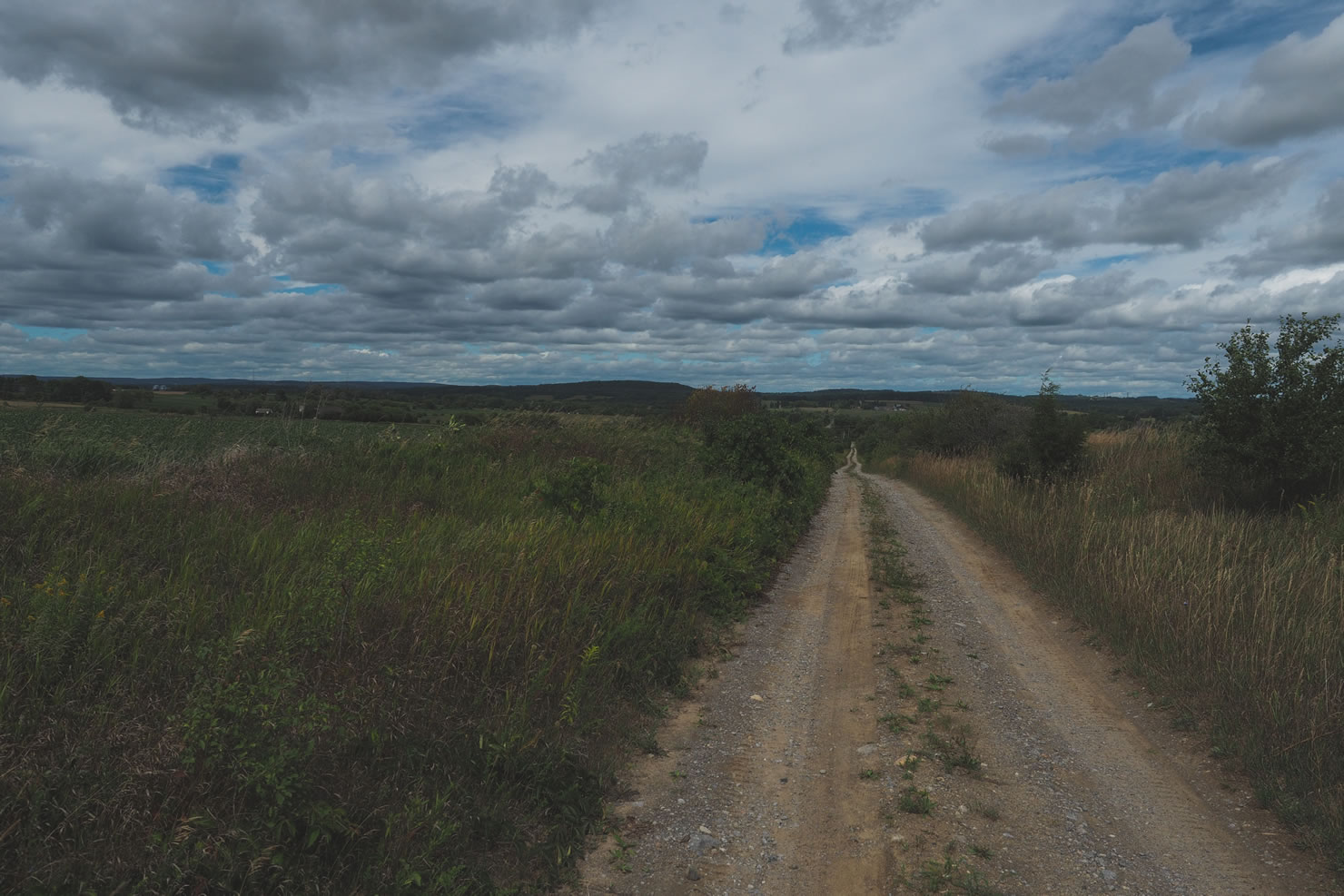
% Unpaved
80%
% Singletrack
2%
% Rideable (time)
99%
Total Ascent
9,789'
(2,984 M)High Point
1,620'
(494 M)Difficulty (1-10)
4?
- 2Climbing Scale Easy34 FT/MI (7 M/KM)
- -Technical Difficulty
- -Physical Demand
- -Resupply & Logistics
Contributed By

Miles Arbour
Ride and Report
Feb 2023 Update: Some folks have let us know that several sections of ATV trails that the COLT follows are in rough shape and slow going. Be prepared for tough conditions and use big tires.
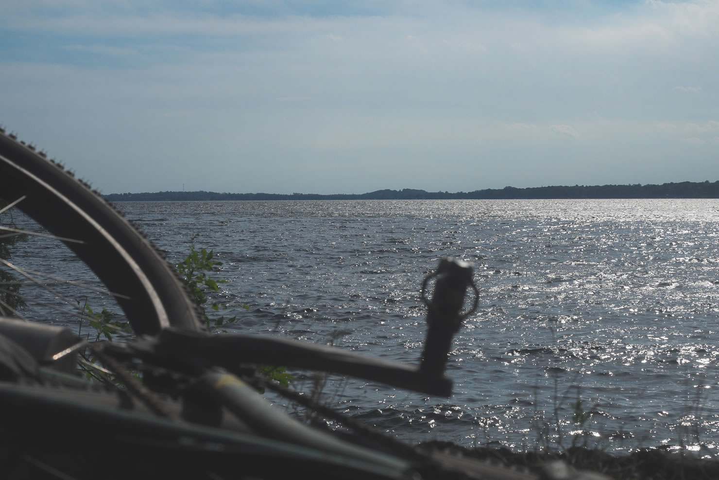
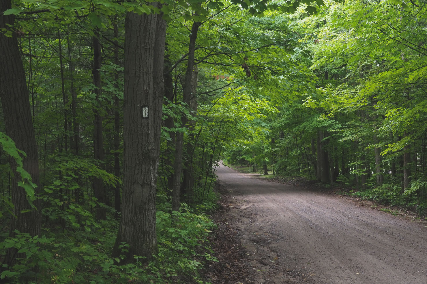
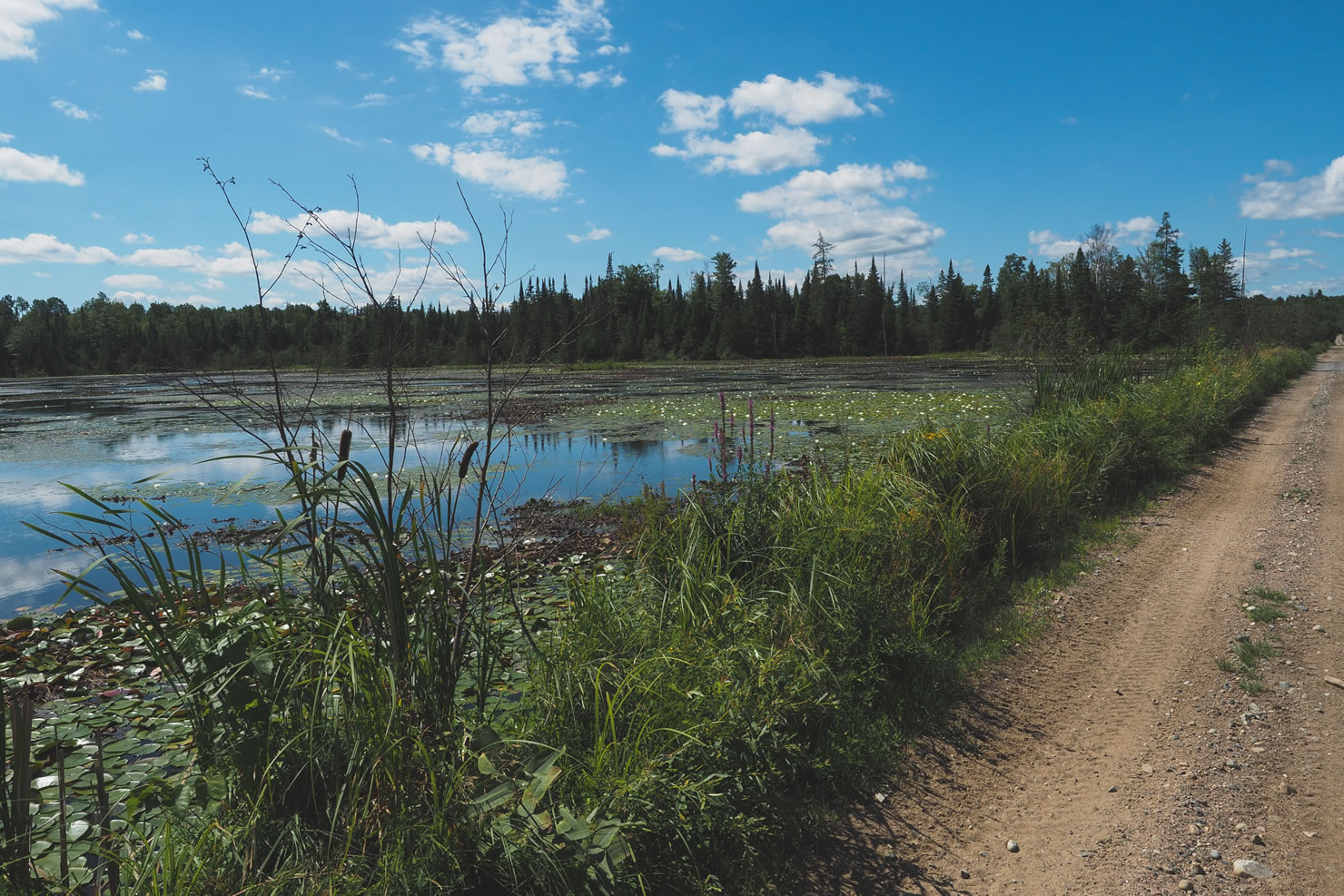
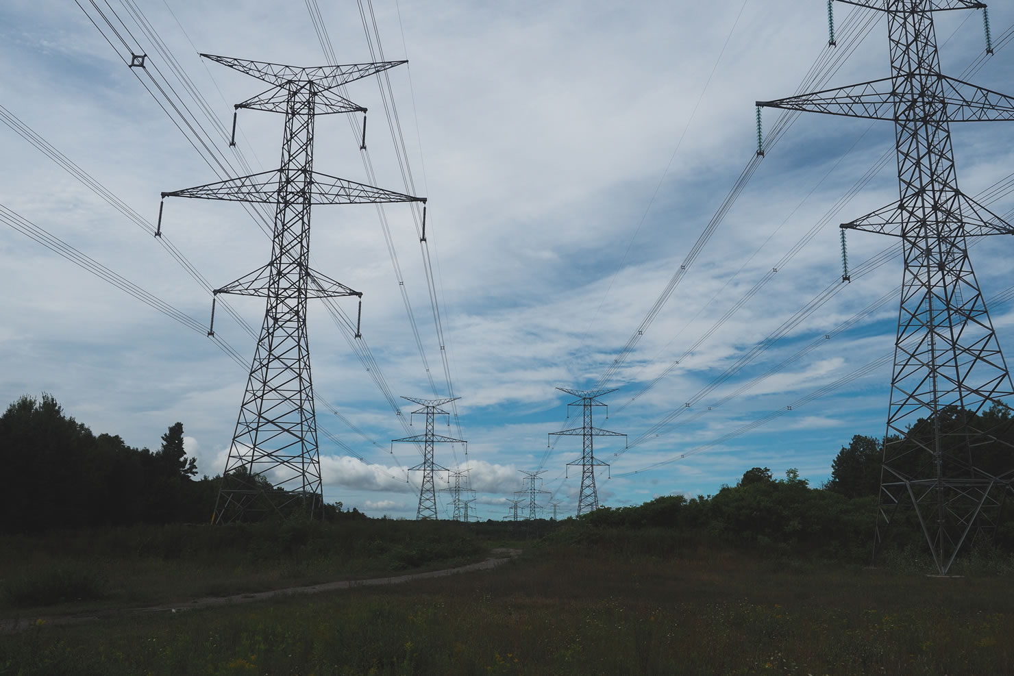
Ontario is well known for vast networks of rocky and root-filled singletrack, boasting accessibility from major city centers like Toronto and Ottawa, and unique geographic features fueled by the Canadian Shield. However, there is a lesser known opportunity for multi-day riding that takes advantage of old rail trails and gravel roads, smack dab in the middle of Ontario. The COLT (Central Ontario Loop Trail) is an Ontario tourism initiative that was proposed but never fully developed; luckily for us the various trails that make up the route are ready to be taken advantage of!
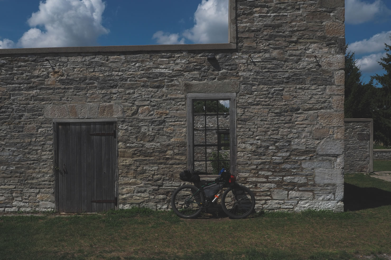
The Central Ontario Loop Trail (COLT) takes riders on various trails including the Victoria Rail Trail, The Ganaraska Trail, The Hastings Heritage Trail, The IB & O Rail Trail, and cuts through the Ganaraska Forest; home to Paul’s Dirty Enduro IMBA Epic. What makes the full route so unique is the opportunity to link all of these together into one big package, passing through many small villages along the way, providing ample opportunities to refuel and explore local culture and history. Within minutes of leaving any of the small villages on route, riders are quickly immersed in the untouched, rugged vistas of Central Ontario.
The route is equally as attractive for seasoned riders looking to knock out long days in the saddle as it is for those looking to give bikepacking a try without compromising safety or proximity to local amenities. Best of all, you will be seeing a huge part of Ontario that only a small group of cyclists can say they have explored before.


Submit Route Alert
As the leading creator and publisher of bikepacking routes, BIKEPACKING.com endeavors to maintain, improve, and advocate for our growing network of bikepacking routes all over the world. As such, our editorial team, route creators, and Route Stewards serve as mediators for route improvements and opportunities for connectivity, conservation, and community growth around these routes. To facilitate these efforts, we rely on our Bikepacking Collective and the greater bikepacking community to call attention to critical issues and opportunities that are discovered while riding these routes. If you have a vital issue or opportunity regarding this route that pertains to one of the subjects below, please let us know:
Highlights
Must Know
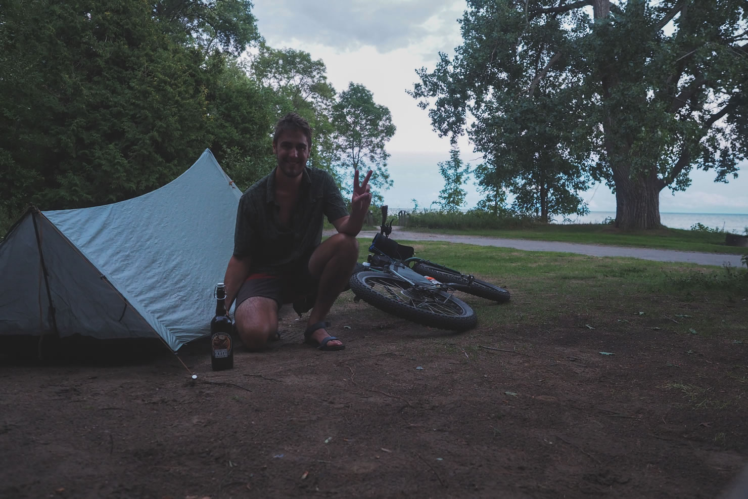
Camping
Food/H2O
Trail Notes
Resources
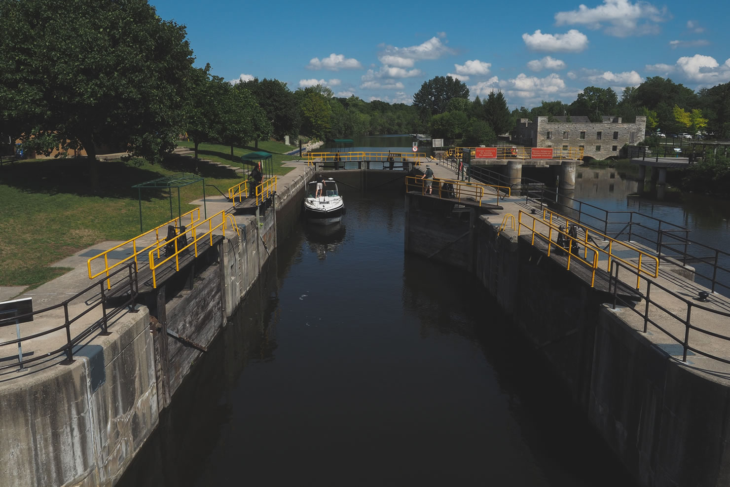
- Trent Severn Waterway offers a truly unique camping experience on several spots along the route, offering sites at the liftlocks in Fenelon Falls, Lindsay, Trenton, Frankford, and Glen Ross.
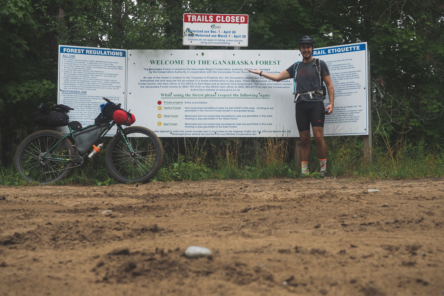
- Ganaraska Forest is home to Paul’s Dirty Enduro IMBA Epic, providing enough trails to create an awesome overnighter if you have only a weekend to spare.
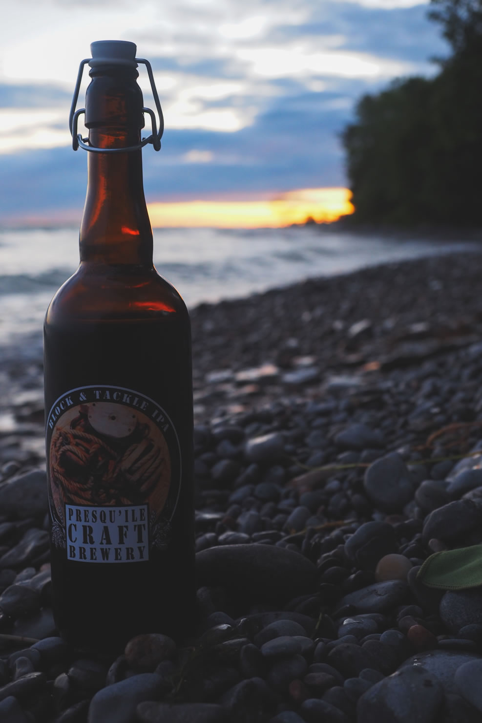
- Presqu’ile Provincial Park is another great camping option located on a peninsula jetting into Lake Ontario outside of Brighton. The price of your campsite is offset by the spectacular views the park offers.
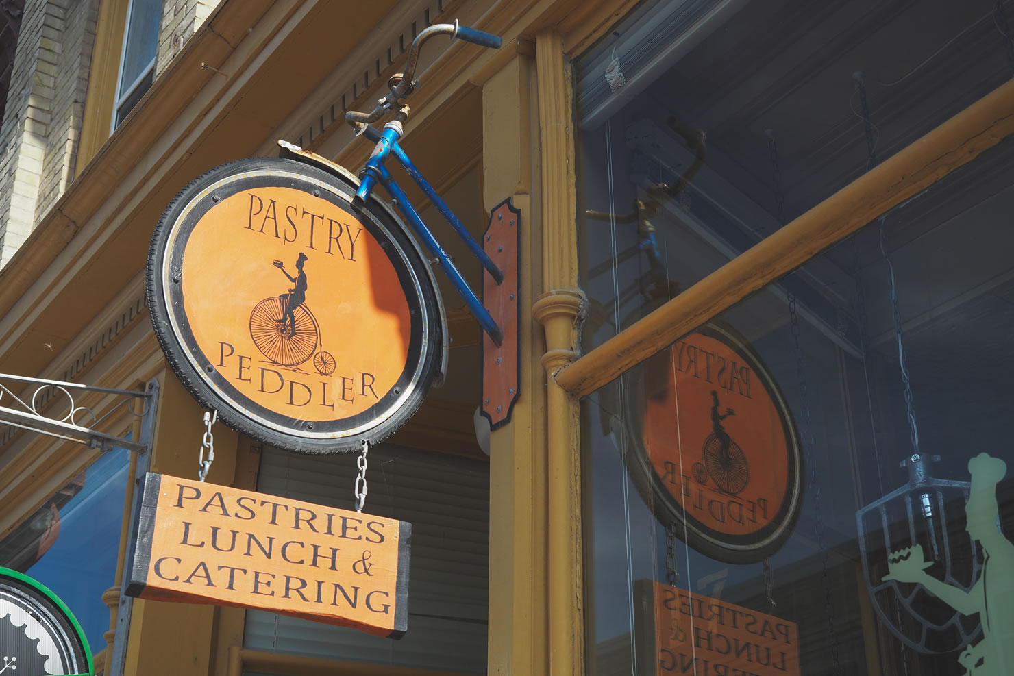
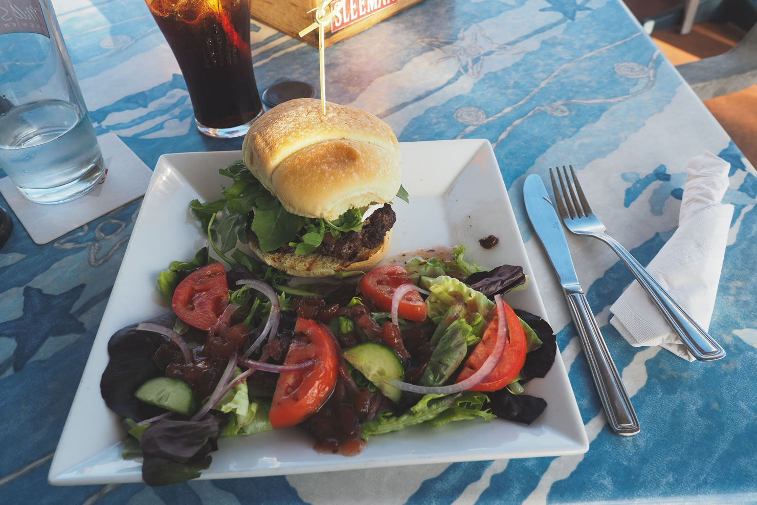
- The Pastry Peddler and Frog Cycles bike shop is a bit off route in Milbrook, but when baked goods, coffee, and bike shops come together, you make the effort to get there.
- Presqu’ile Craft Brewery in Brighton, only a few kilometres from Presqu’ile Provincial Park, brews small-batch session beers that is arguably the most cyclist friendly beer available.
- Navigating the COLT can be a tad confusing as it links together so many different existing trails; connections are not always seamless. An electronic GPS, I swear by the Garmin E-TREX 30, will ensure you stay on route the entire time.
- Plenty of refueling options on route. Not all gas stations, grocery stores, and coffee shops are added on the map. You can expect to have options to buy food and get water at least two or three times each day.
- Ideal riding season is August – October. If you haven’t heard “The Black Fly Song” by Wade Hemsworth, give it a listen.
- Overnight / Multiday parking available at Fenelon Falls beach. Free parking is confirmed at the Fenelon Falls public beach, making this a good starting point.
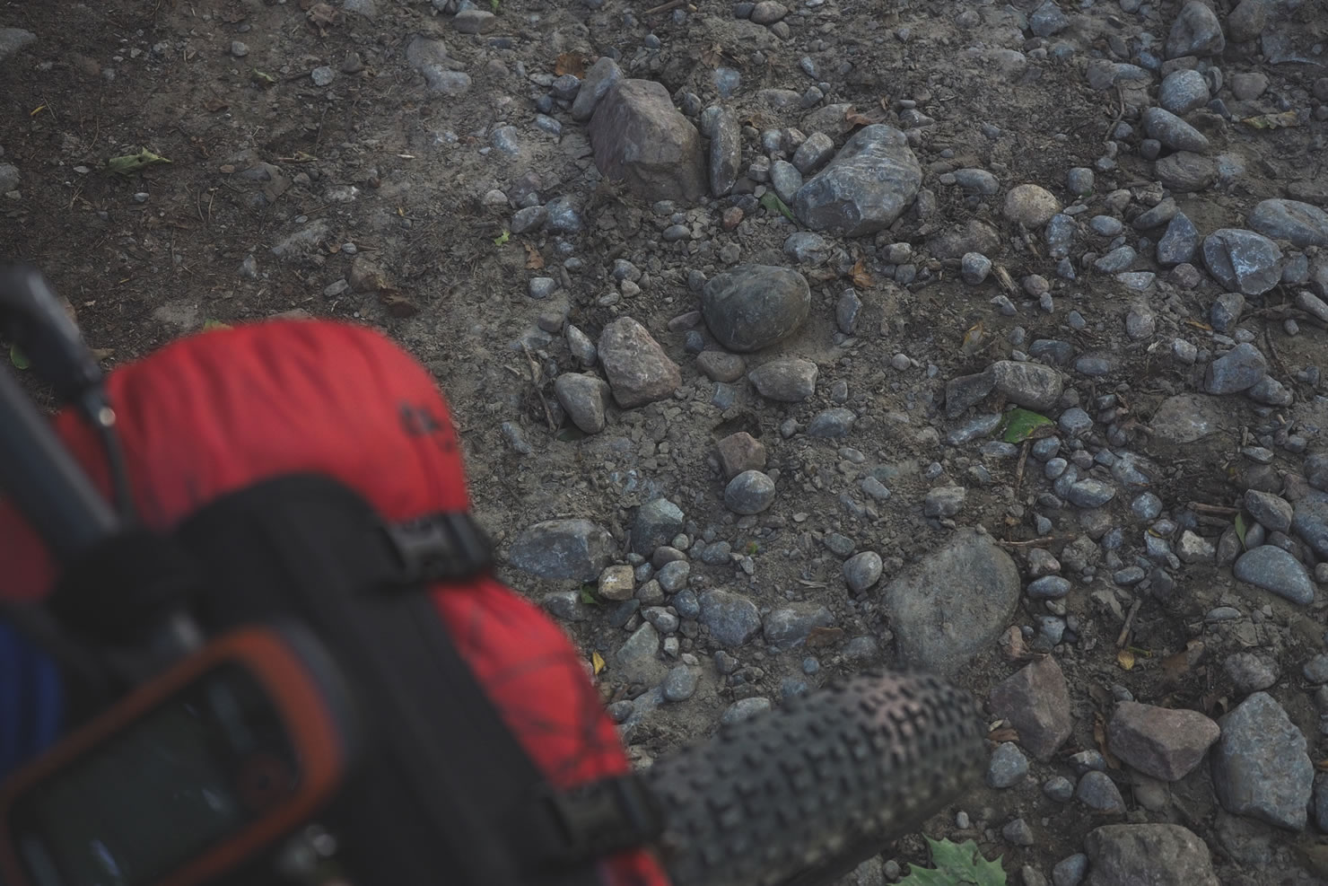
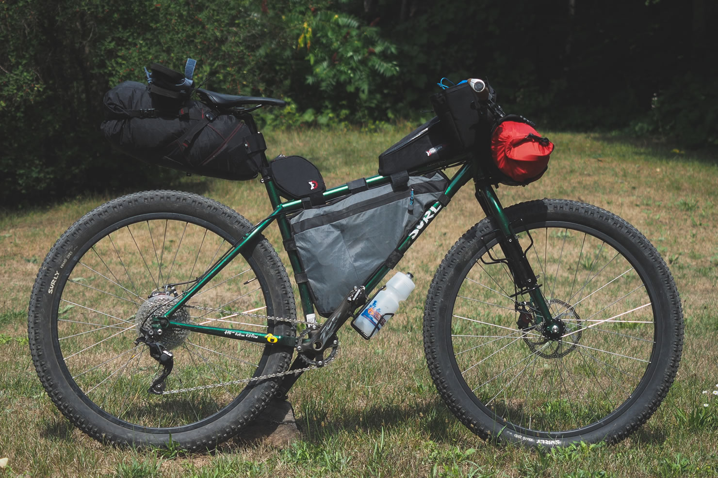
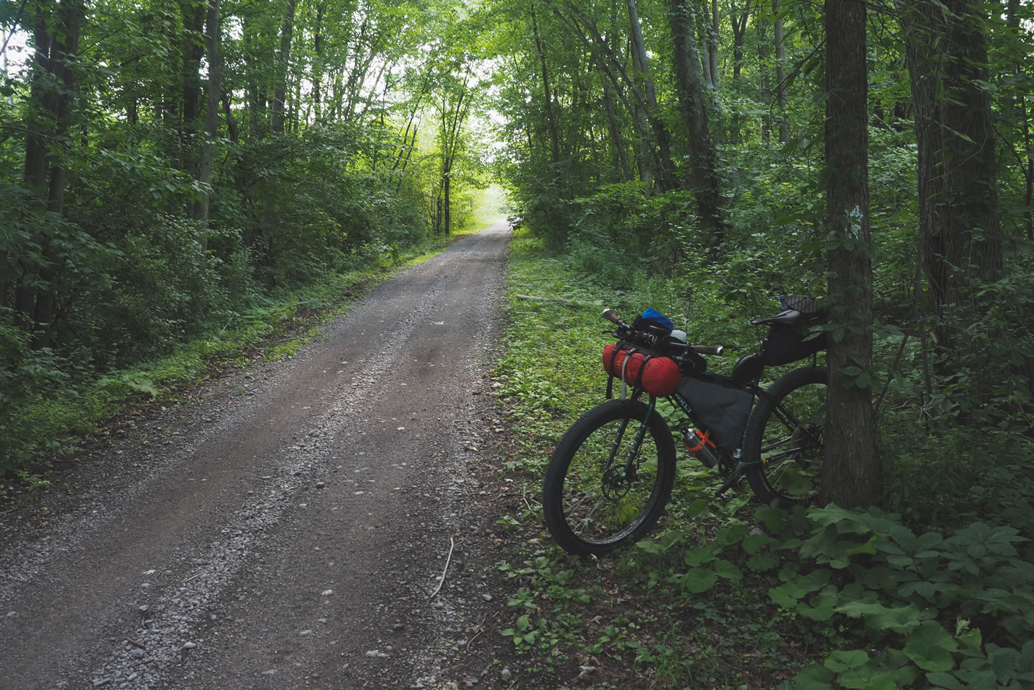
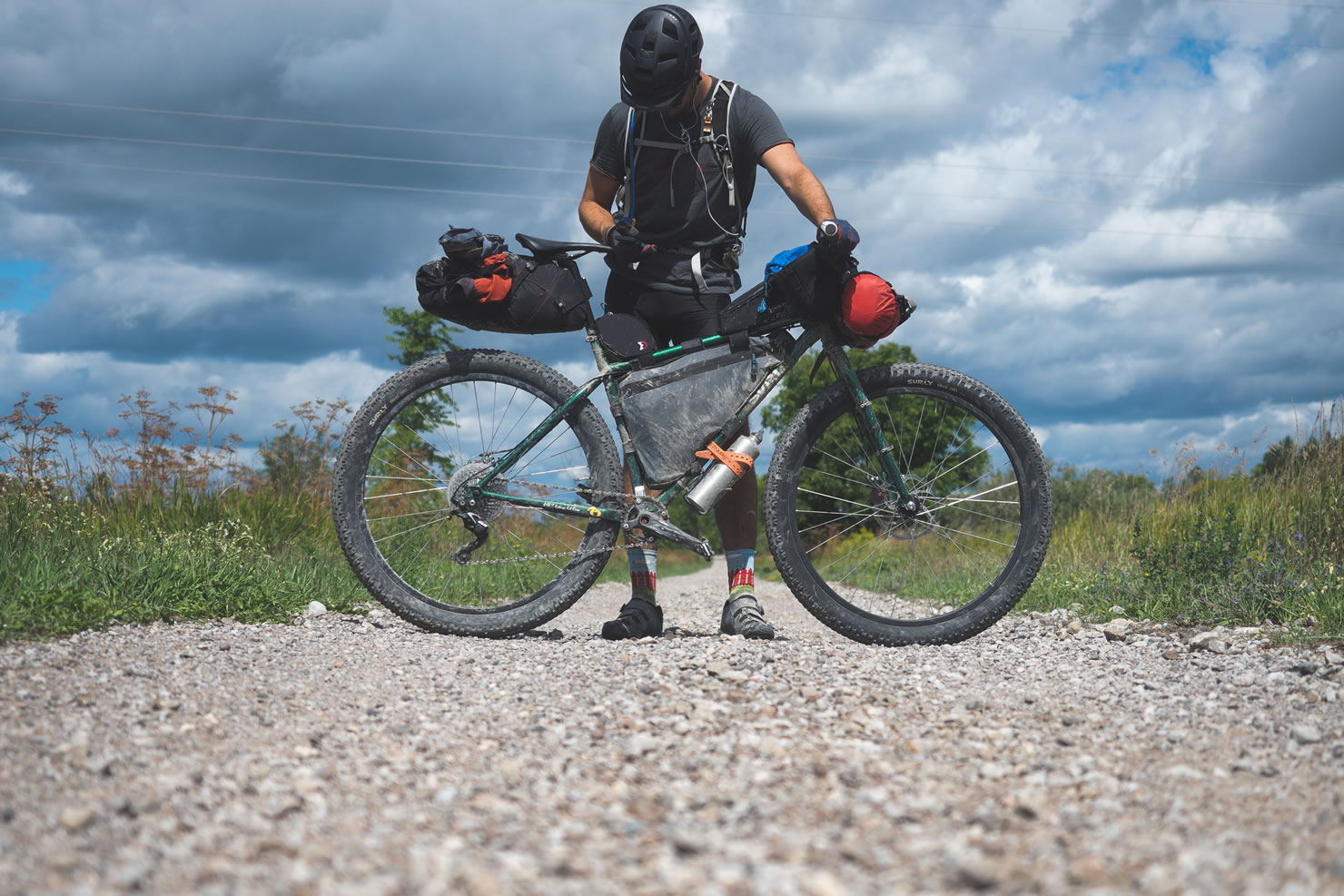
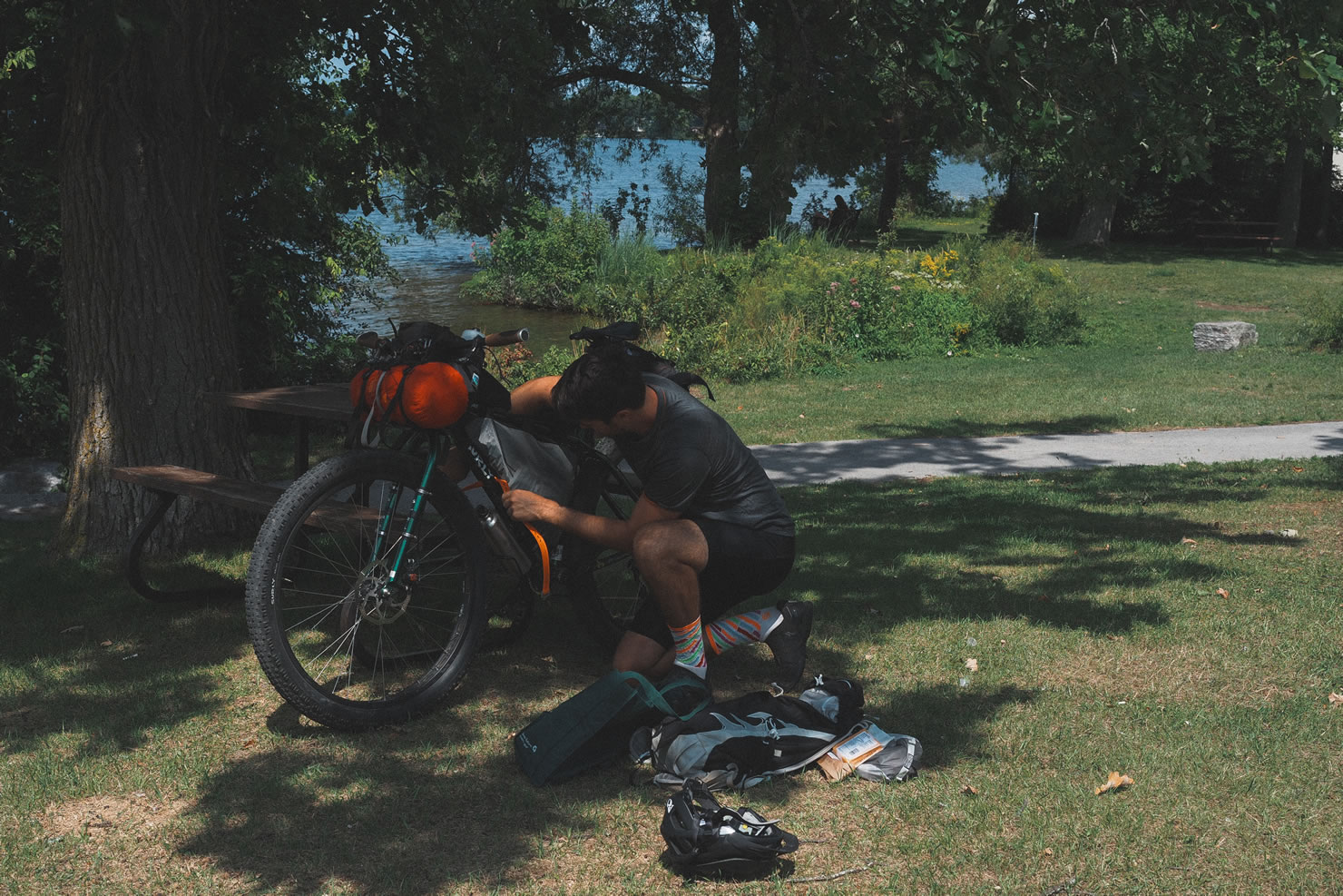
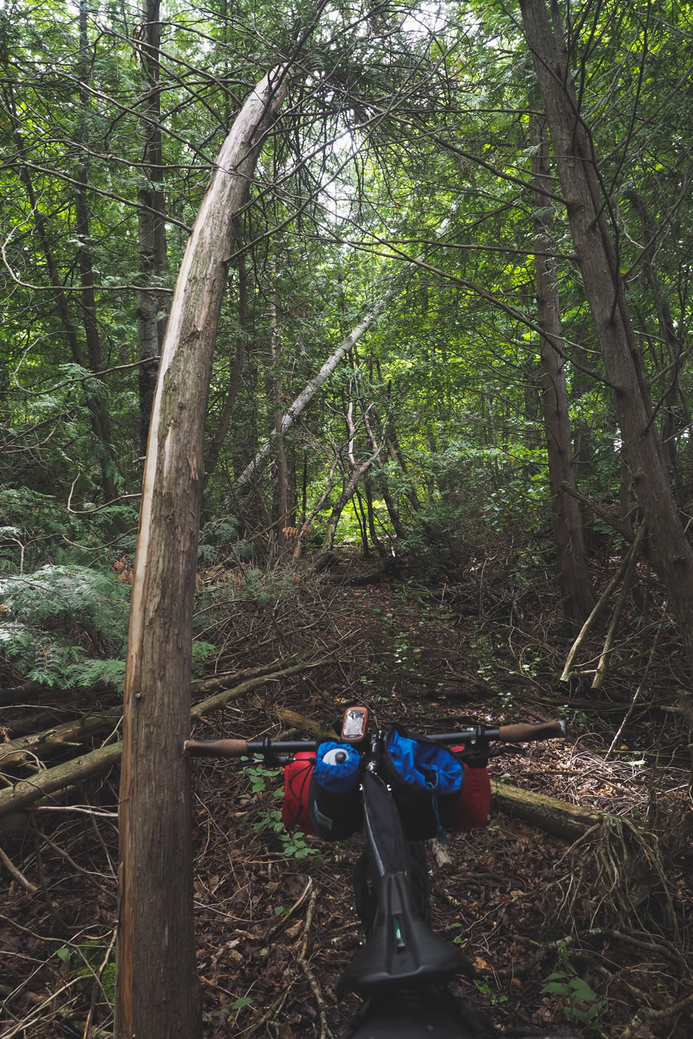
- Don’t underestimate the terrain. Be prepared for short flooded sections following heavy rain, fist-sized rocks, thick sand and loose gravel, and a few burning climbs in the Halliburton Highlands. My Surly Krampus was the perfect ride, I was very happy to have my plus-sized Knards the entire time.
- A day pass is required to ride in the Ganaraska Forest. Day Passes are available for purchase using the kiosk at the Ganaraska Forest Centre.
- Camping at Trent Severn Waterway liftlocks is not guaranteed. I was told camping for cyclists at $5.00/person was available, but at the discretion of the lockmaster, ask politely for a site.
- Opportunities for free, rough camping on Ontario crown land. There are specific parcels of land along the route that are open for recreational use, including overnight camping, just make sure to do your research first.
- Plenty of family campgrounds on route for between $25 – $30 a night, often cash only. Most offer showers, washrooms, and a small camp store for snacks.
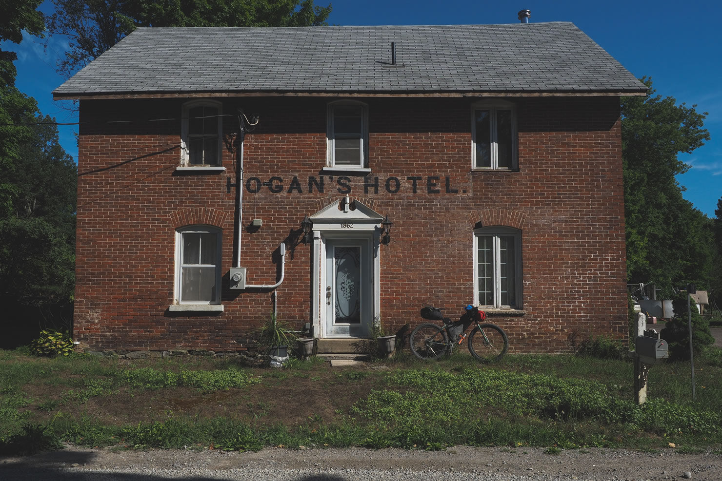
- Motels & Roofed Lodging is available at most towns along the route.
- Ontario is full of water. Plenty of water to purify, or simply ask a friendly local / storeowner to fill your bottles. I carried 4L of water each day, and usually had to refill a bottle in the afternoon to be safe.
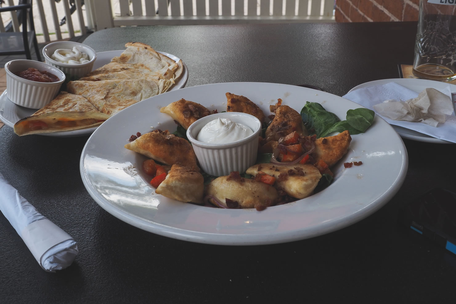
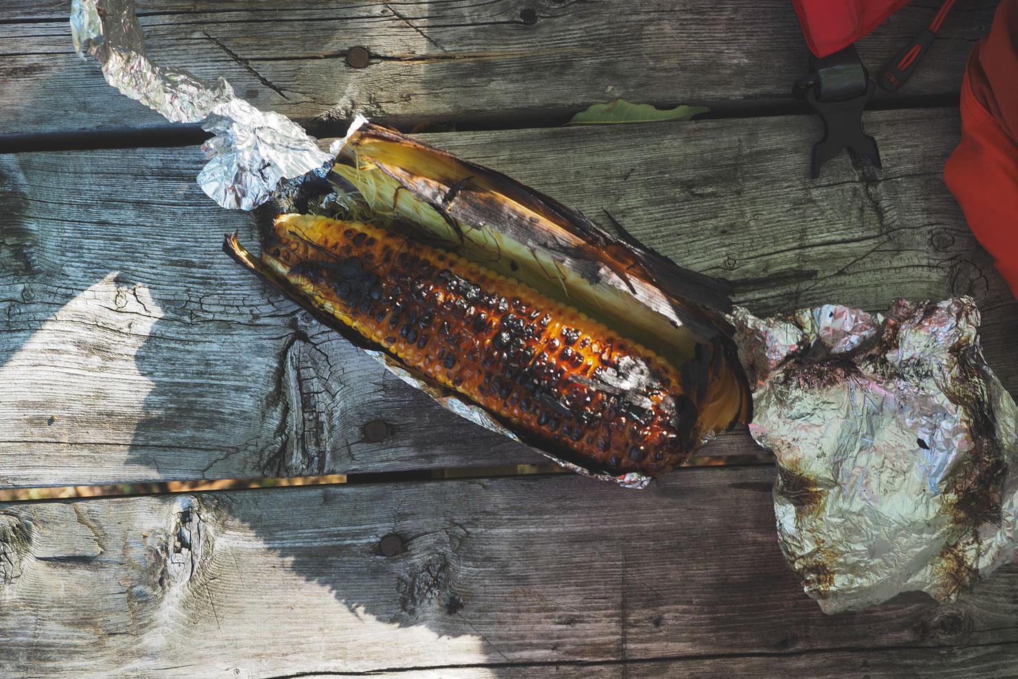
- Plenty of local food markets, cafés, and produce stands on connecting roads between the scenic rail trails, take advantage of them and eat well. The best of the best are shown on the route map.
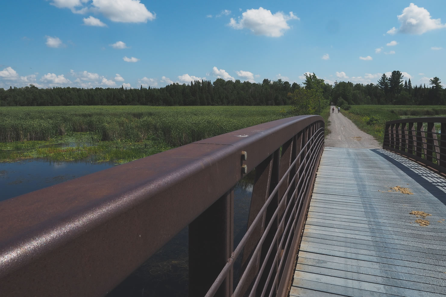
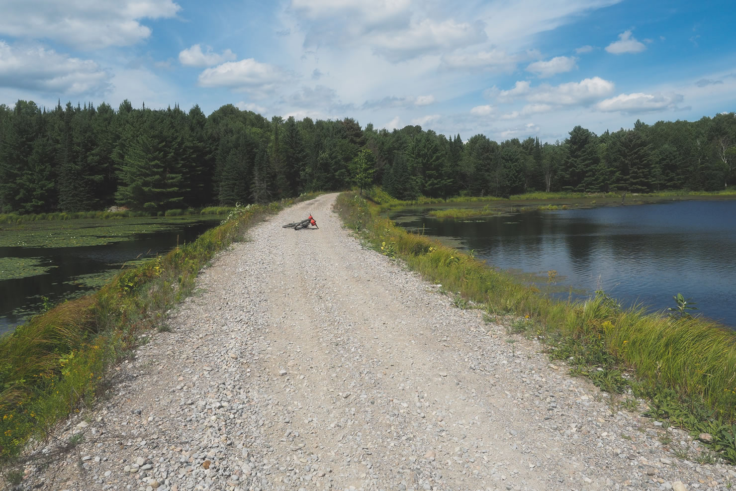
Fenelon Falls to Ganaraska Forest: Start on the Victoria Rail Trail heading south towards Lindsay, keep your head up as the towns disappear behind you and fields open to an expanse of farm land. Further south, you will transition onto rough gravel roads with a few small paved sections, before making a short rugged climb up to Sandaraska Park.
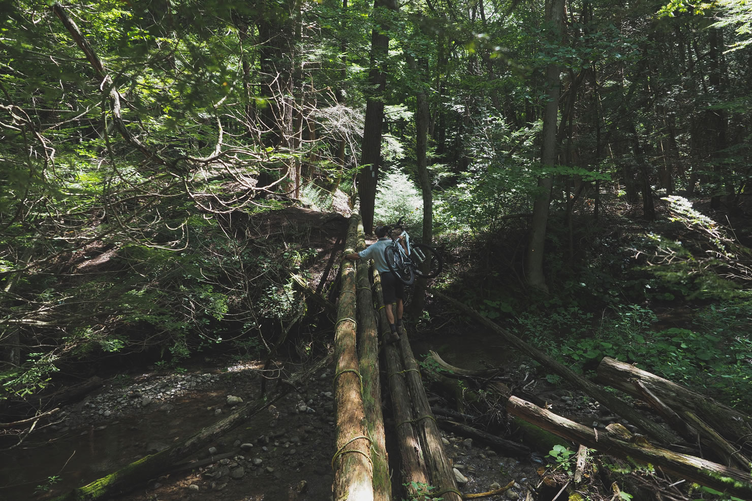
Ganaraska Forest to Port Hope: Soon after entering the Ganaraska Forest, expect a long section of thick sandy double track loosened by the ATVers and dirtbikers in the area. From here you will also start to notice white blazes on tree trunks, which are trail markers for the Ganaraska Hiking trail, follow these (while paying attention to your GPS) through the forests until you immerge onto gravel roads before reentering a short single-track section with a few hike-a-bike portions. After crossing under the 401, be on the lookout for the white blazes leading you down the East side of the Ganaraska River into Port Hope… it is very easy to miss!
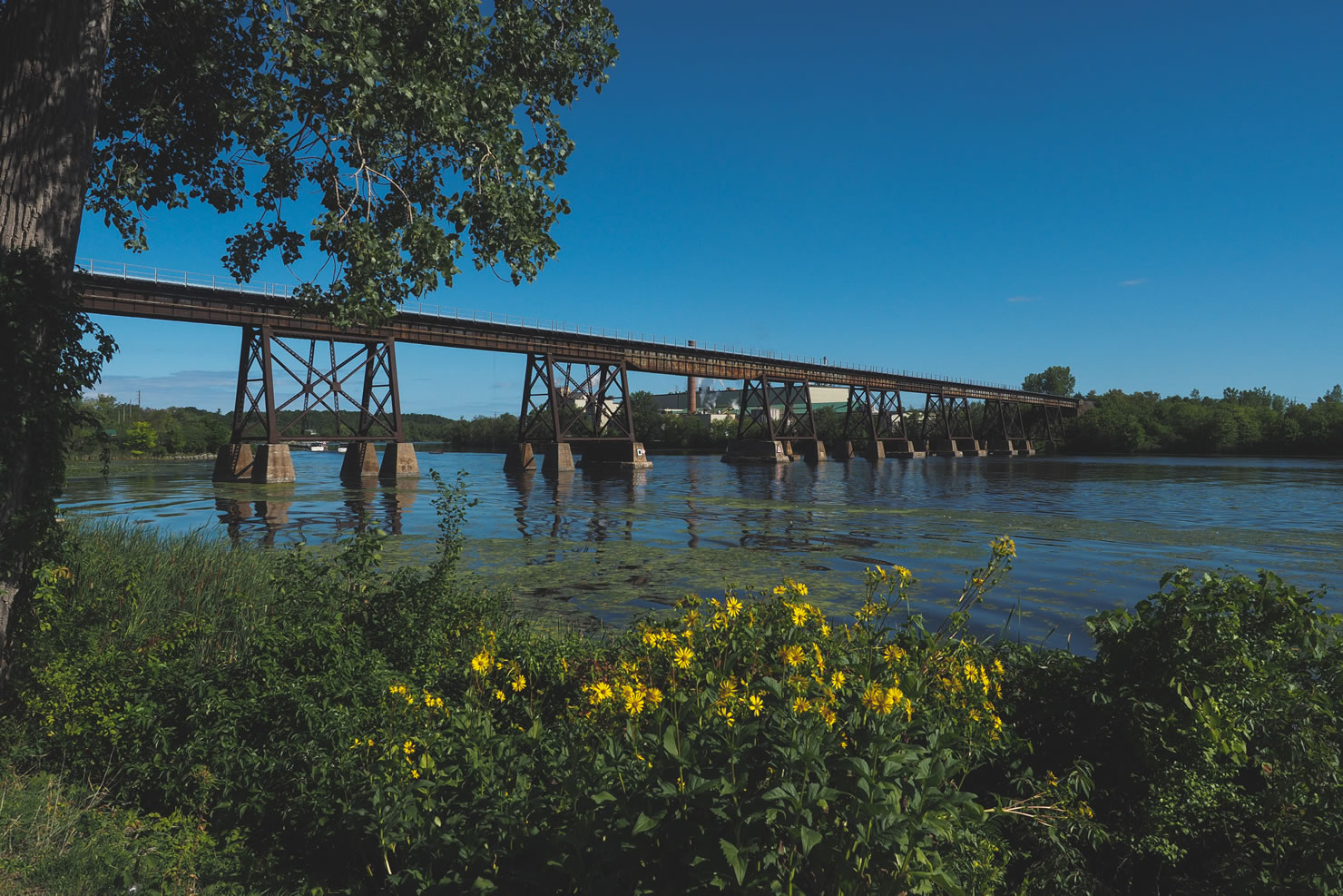
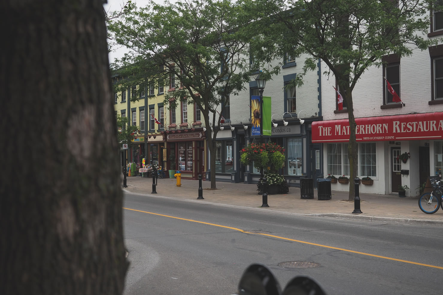
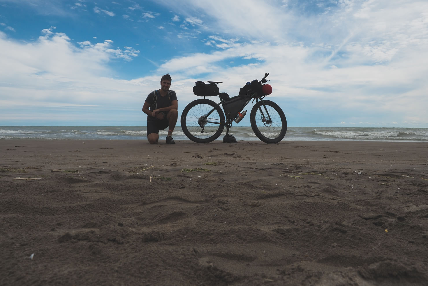
Port Hope to Trenton: This section is primarily on paved roads, following the popular Waterfront Trail cycling route along Lake Ontario. Expect amazing views and crashing waves, and plan to make a few stops along the way, as many of these towns are huge tourist destinations. The Waterfront Trail signage is very clear through this section.
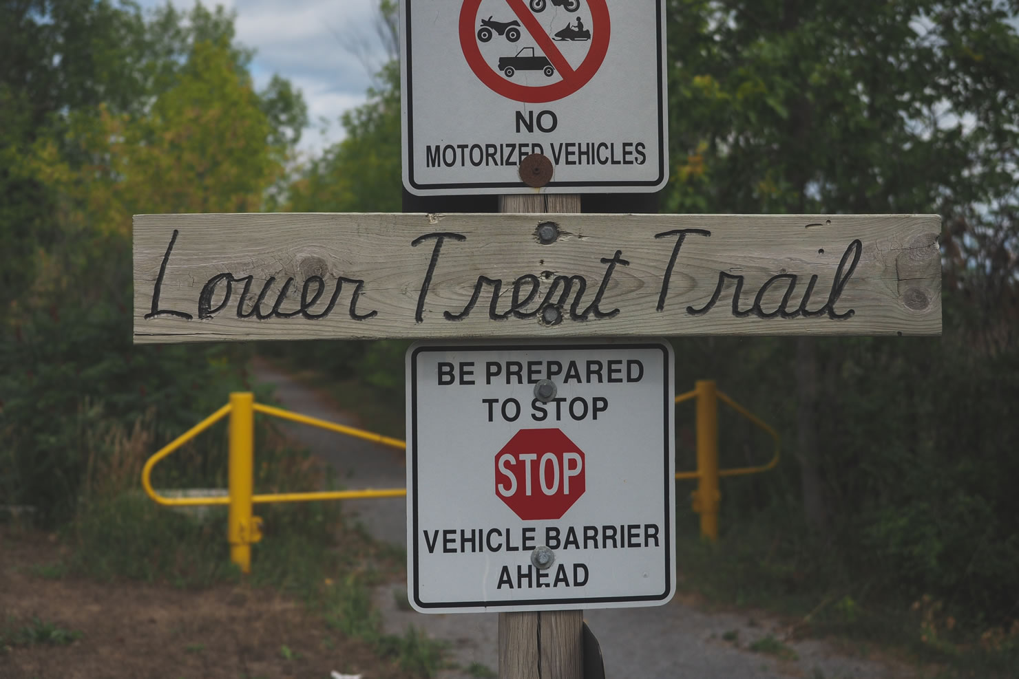
Trenton to Bancroft: After crossing under the 401 once again, on Stockdale Rd, look for the entrance for the Lower Trent Trail on your right. This trail leads you North all the way to Glen Ross, before making the transition onto the Hastings Heritage Trail, which shoots all the way North to Bancroft.
Bancroft to Irondale: After passing the Bible Camp, you may want to call upon divine intervention to tackle the next huge section of climbs, leading you up to the highest point on the entire loop. Enjoy the next paved section on Loop Rd, as it will be on of your last before joining up the IB & O railtrail in Wilberforce leading down to Gooderham. Swerve, climb, and push your way West on the last few side roads that lead up to the Halliburton County Rail Trail, watch out for large trucks on these roads as they will not expect a cyclist.
The Rail Trail Finish: The last ~40km of the route brings you South through Kinmount via the Haliburton County Rail Trail, which transitions into the Victoria Rail Trail once again before ending back in Fenelon Falls at the beach. Give yourself a high five and take a dip to cool off.
Additional Resources
- Ontario Crown Land Policy Atlas: ontario.ca/page/crown-land-use-policy-atlas
- Presqu’ile Provincial Park: ontarioparks.com/park/presquile
- Ontario By Bike: ontariobybike.ca
- Algonquin Outfitters Huntsville (great retailer for bikepacking specific gear): algonquinoutfitters.com
- Waterfront Trail: waterfronttrail.org
- Eastern Ontario Trails Alliance Map: Map Link
- Ontario Federation of Snowmobile Clubs Map: ofsc.mapbase.ca/viewer


Terms of Use: As with each bikepacking route guide published on BIKEPACKING.com, should you choose to cycle this route, do so at your own risk. Prior to setting out check current local weather, conditions, and land/road closures. While riding, obey all public and private land use restrictions and rules, carry proper safety and navigational equipment, and of course, follow the #leavenotrace guidelines. The information found herein is simply a planning resource to be used as a point of inspiration in conjunction with your own due-diligence. In spite of the fact that this route, associated GPS track (GPX and maps), and all route guidelines were prepared under diligent research by the specified contributor and/or contributors, the accuracy of such and judgement of the author is not guaranteed. BIKEPACKING.com LLC, its partners, associates, and contributors are in no way liable for personal injury, damage to personal property, or any other such situation that might happen to individual riders cycling or following this route.
Please keep the conversation civil, constructive, and inclusive, or your comment will be removed.