


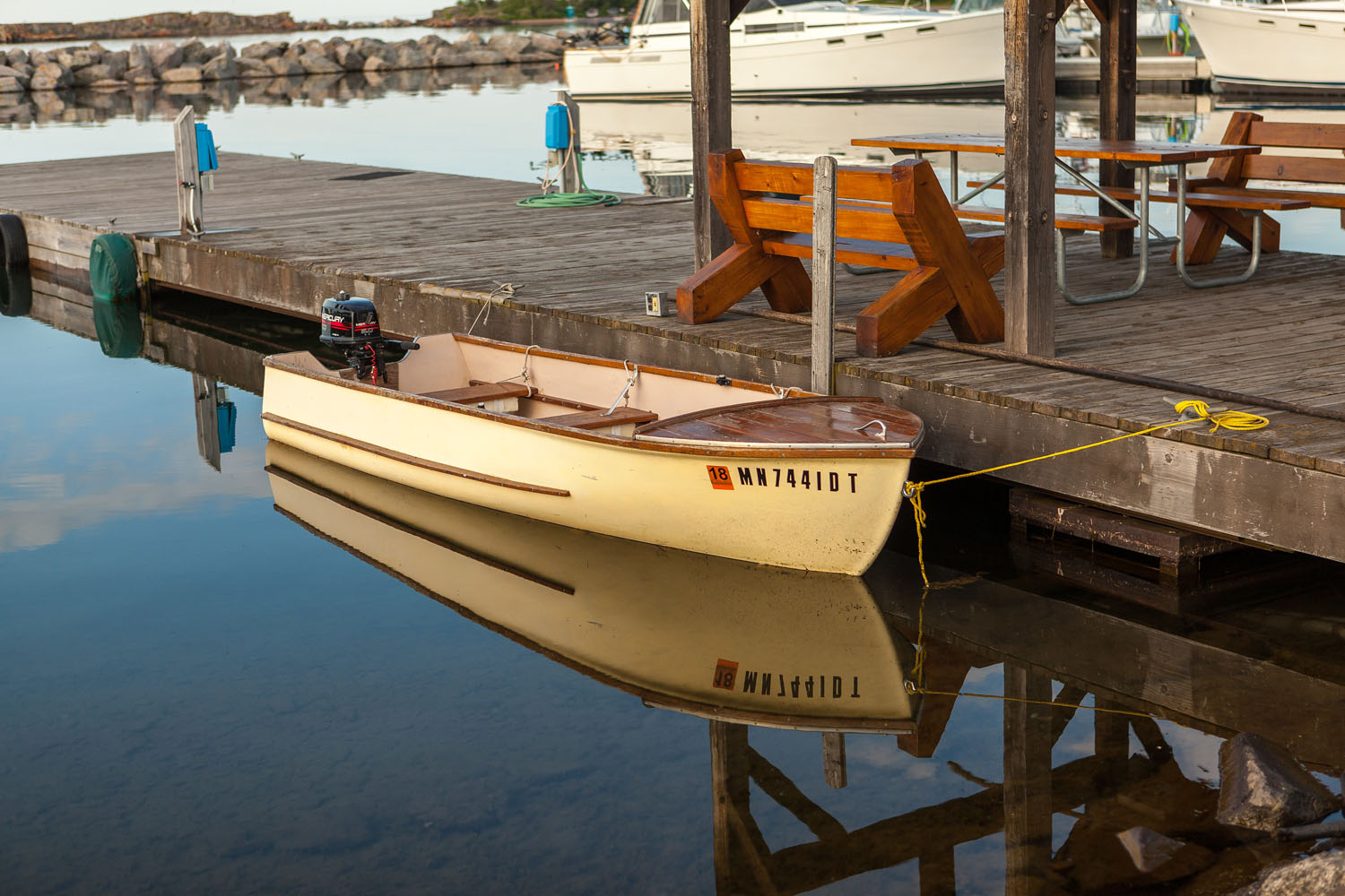
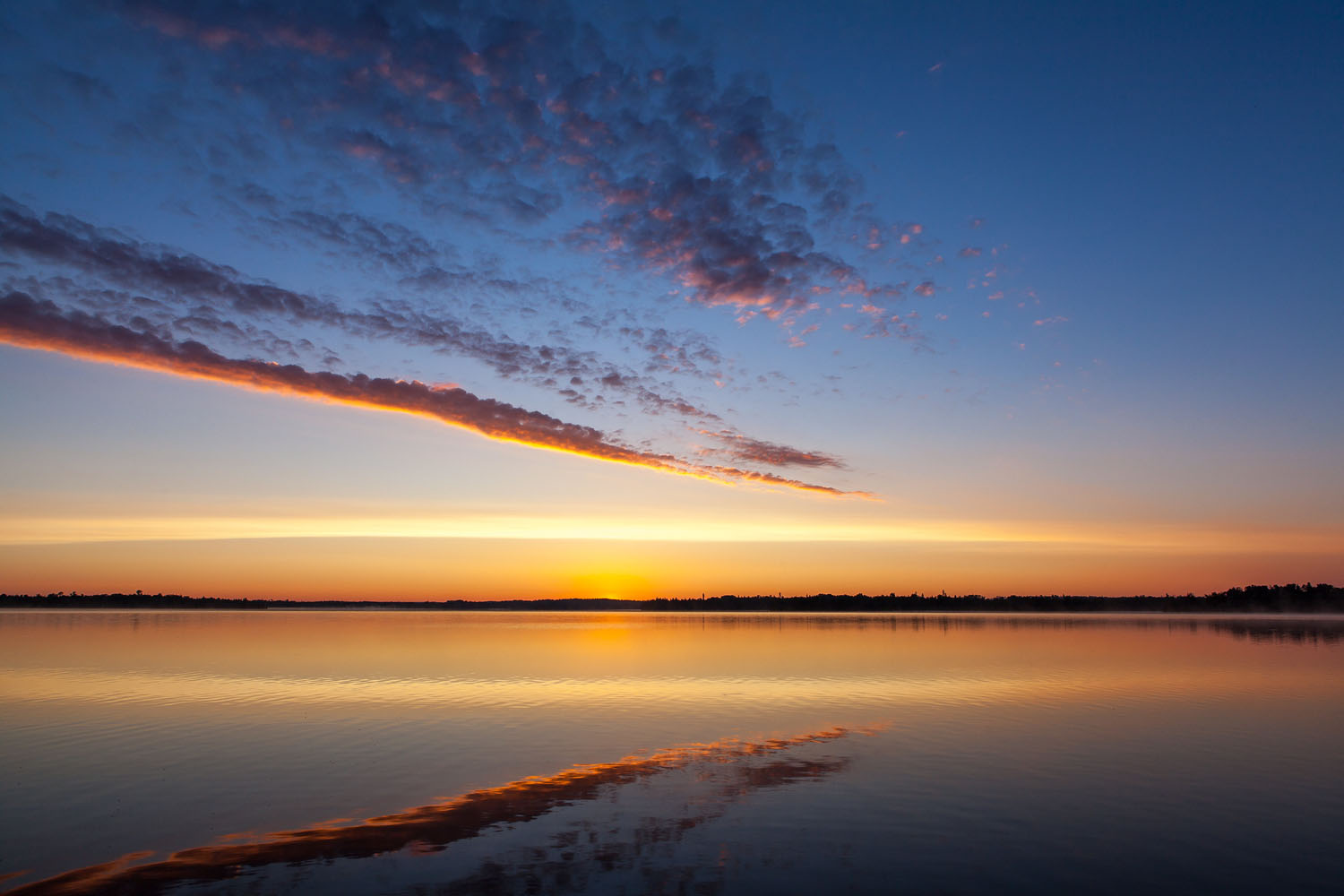
Straddle and Paddle, Minnesota
Distance
180 Mi.
(290 KM)Days
3-4
% Unpaved
81%
% Singletrack
0%
% Rideable (time)
100%
Total Ascent
7,733'
(2,357 M)High Point
2,030'
(619 M)Difficulty (1-10)
3?
- 3Climbing Scale Fair43 FT/MI (8 M/KM)
- -Technical Difficulty
- -Physical Demand
- -Resupply & Logistics
Contributed By
Peter Pascale
Guest Contributor
Peter has been exploring northern Minnesota for over two decades. He’s found sunken boats, a hidden moonshine still, hobo camps, forgotten waterfalls no longer on maps, new friends, and lots of dead ends. All of them worth it. His home on the web is here (peterpascale.com).
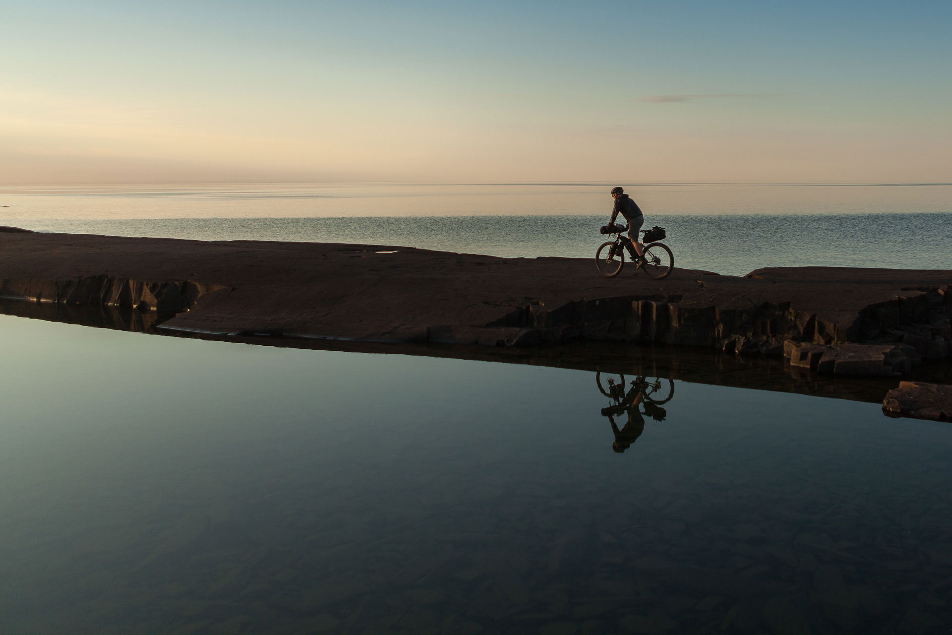
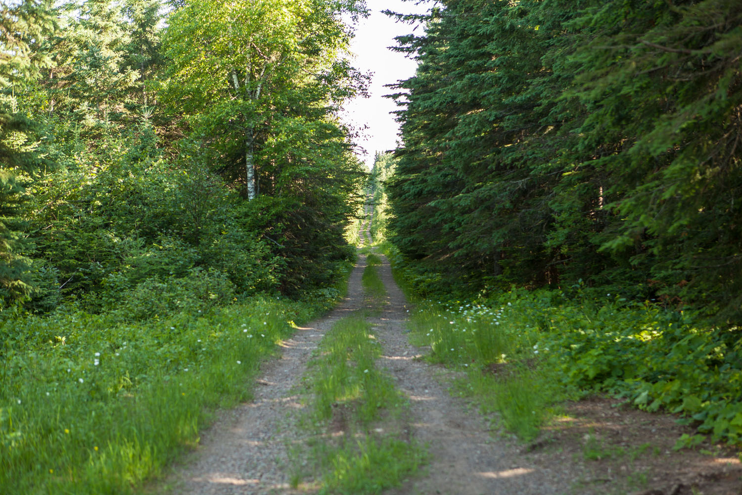
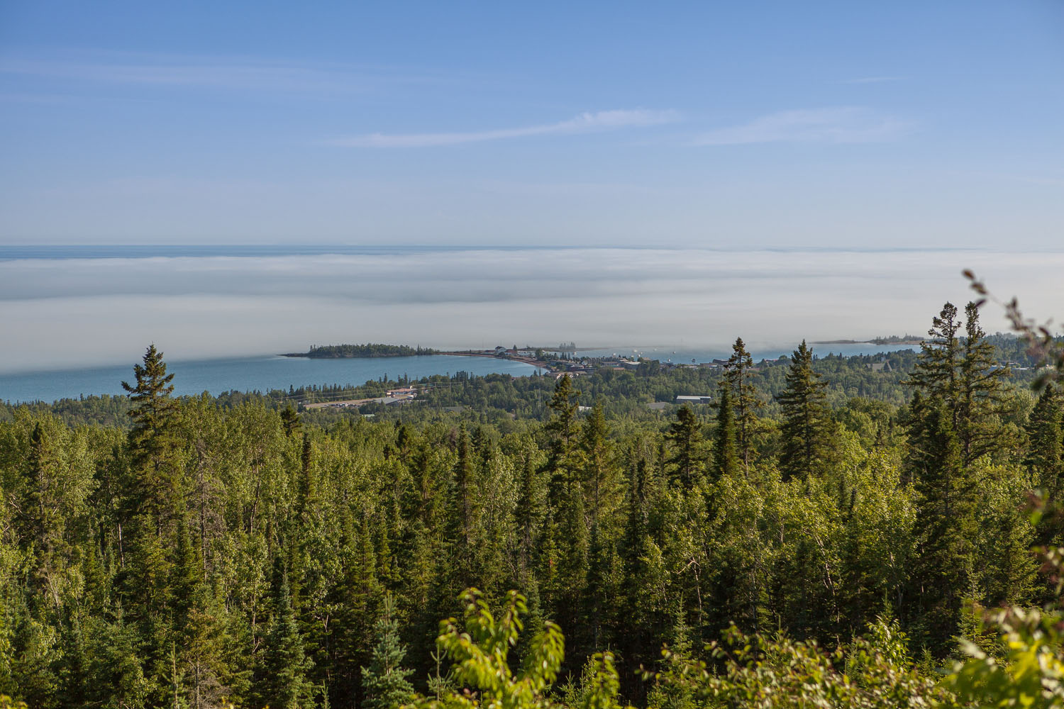
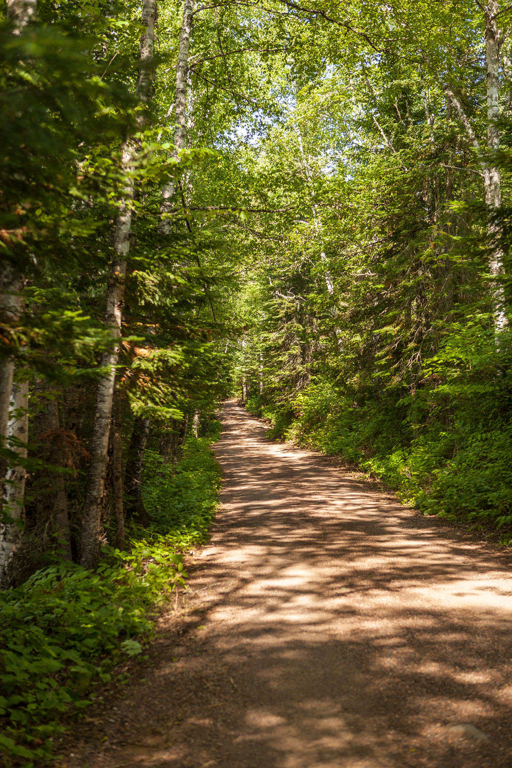
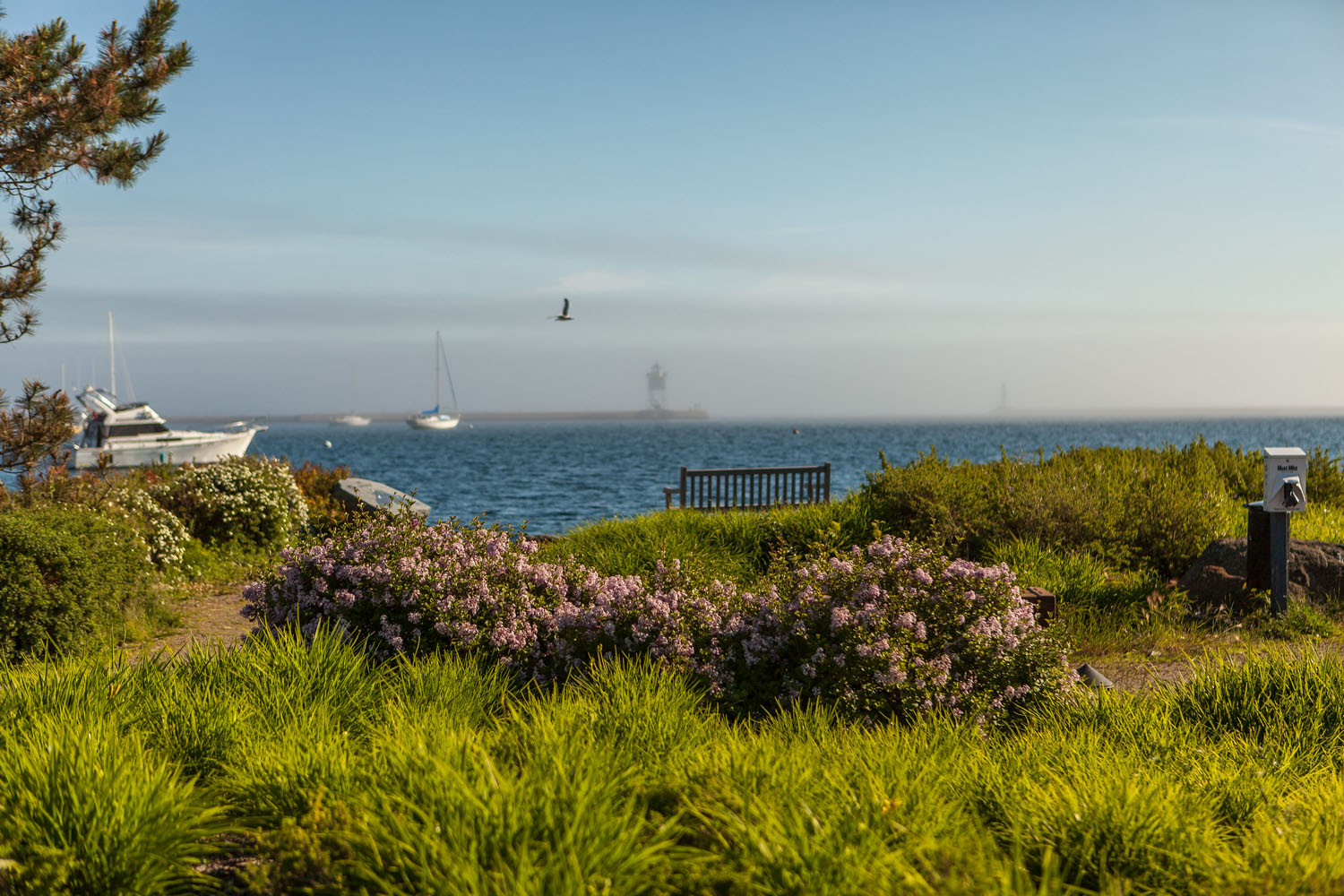
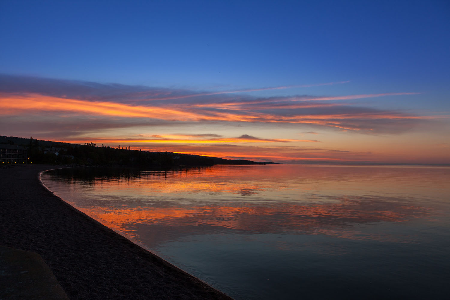
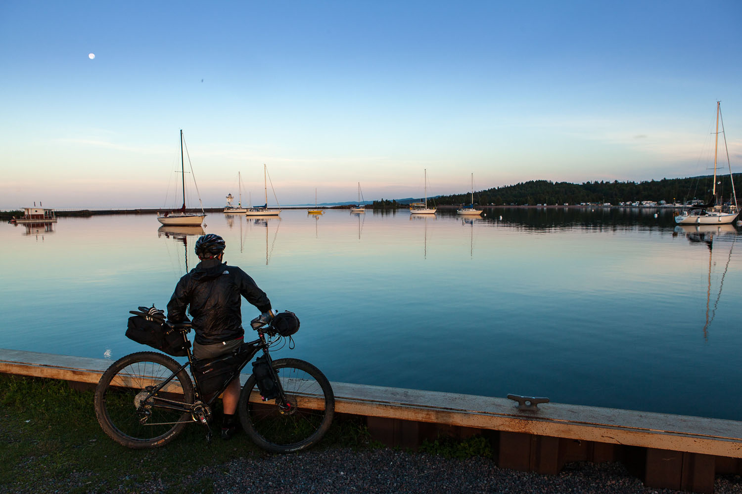
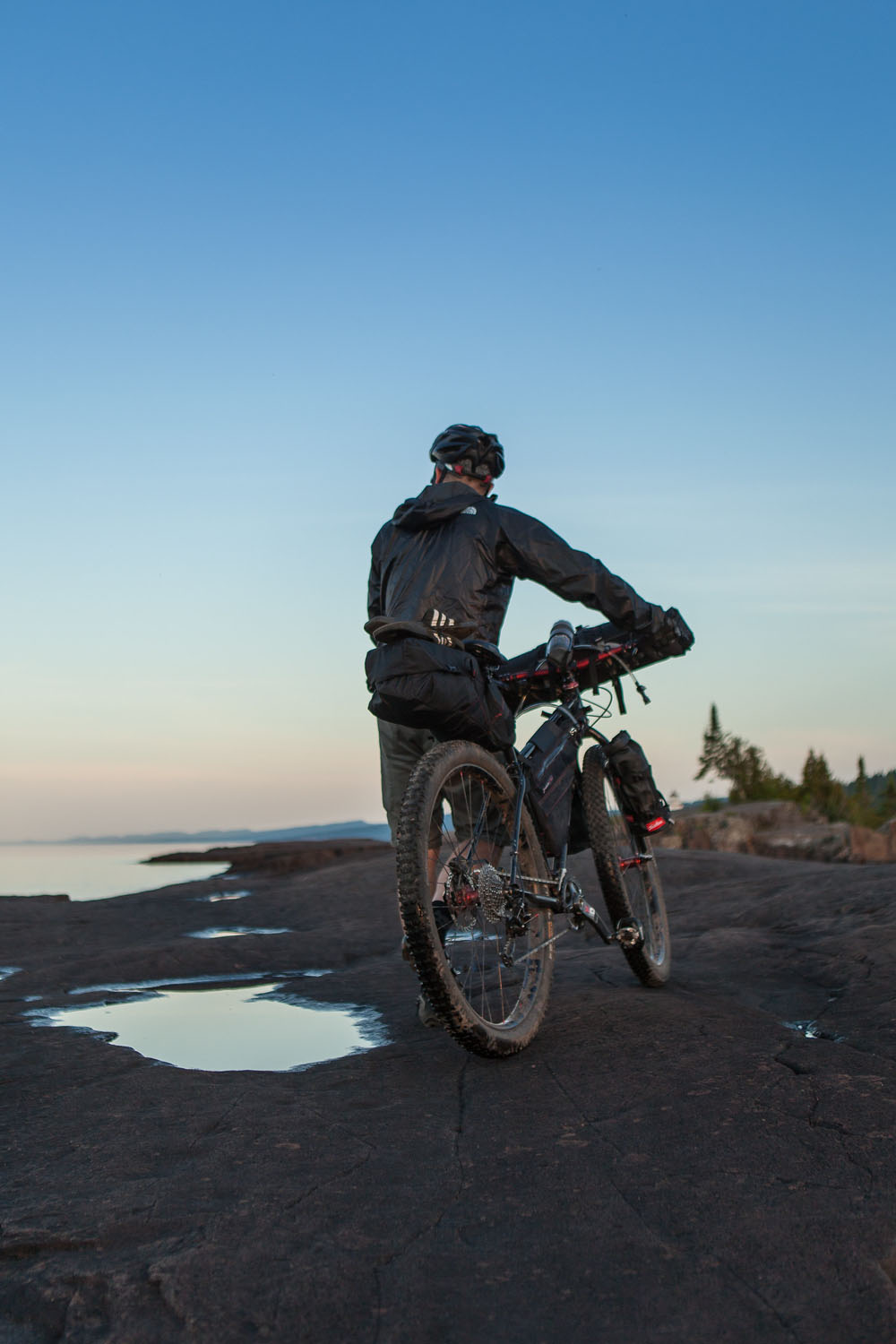
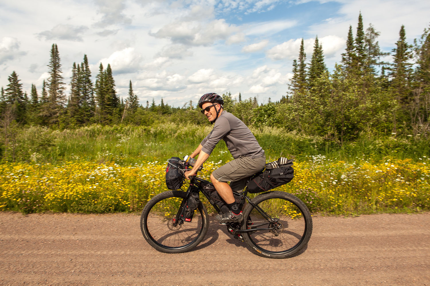
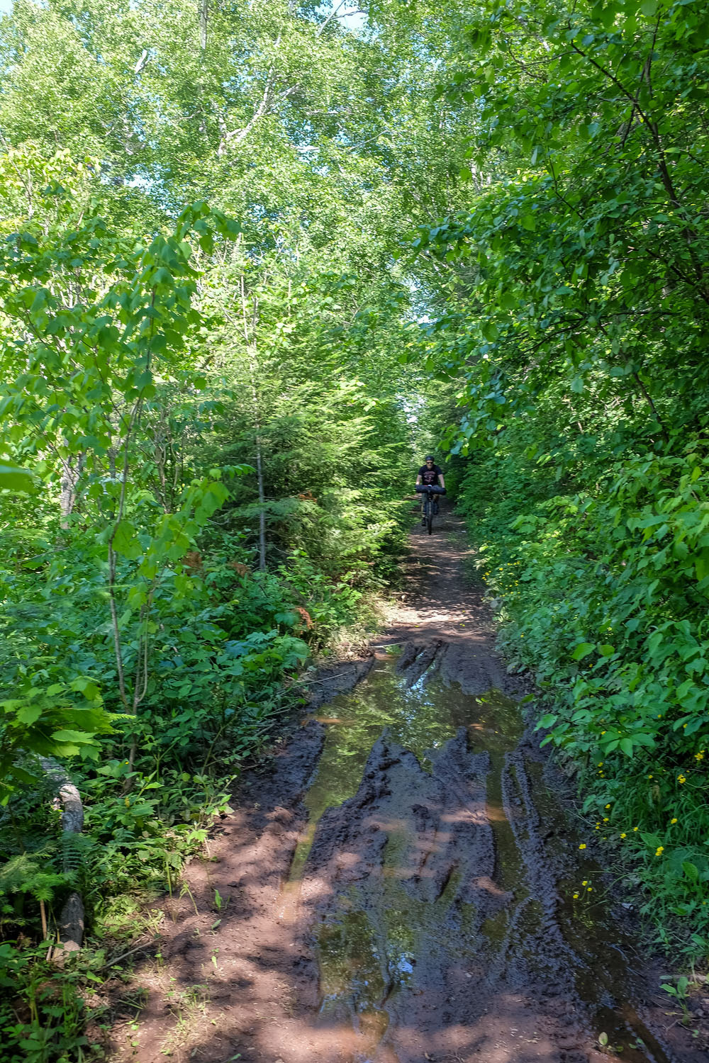
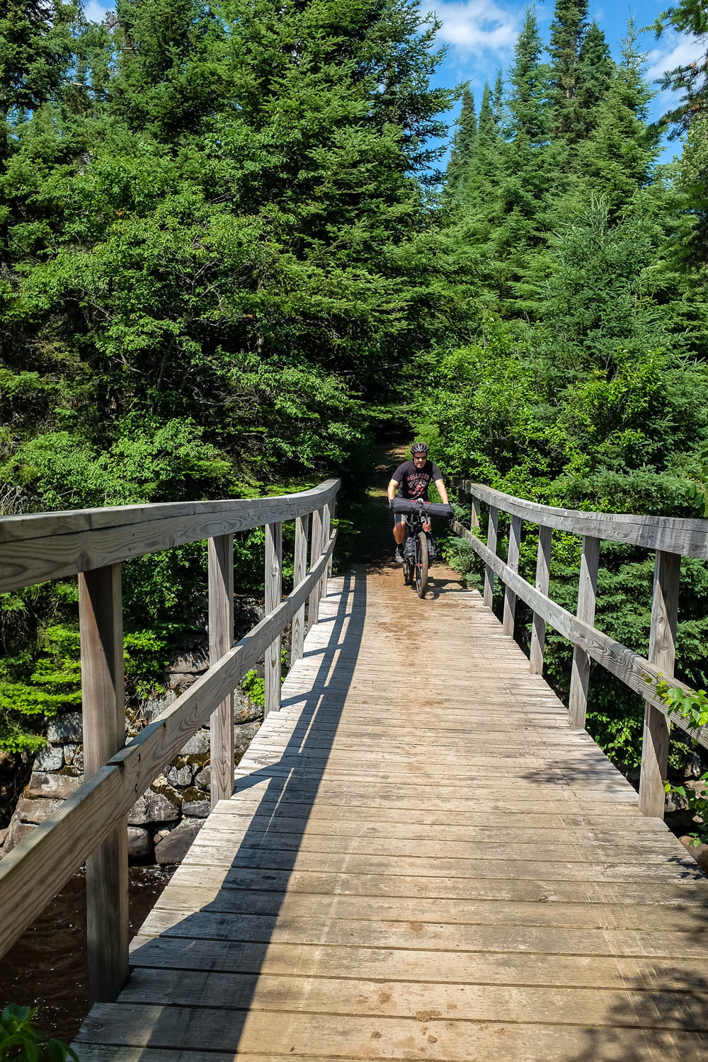
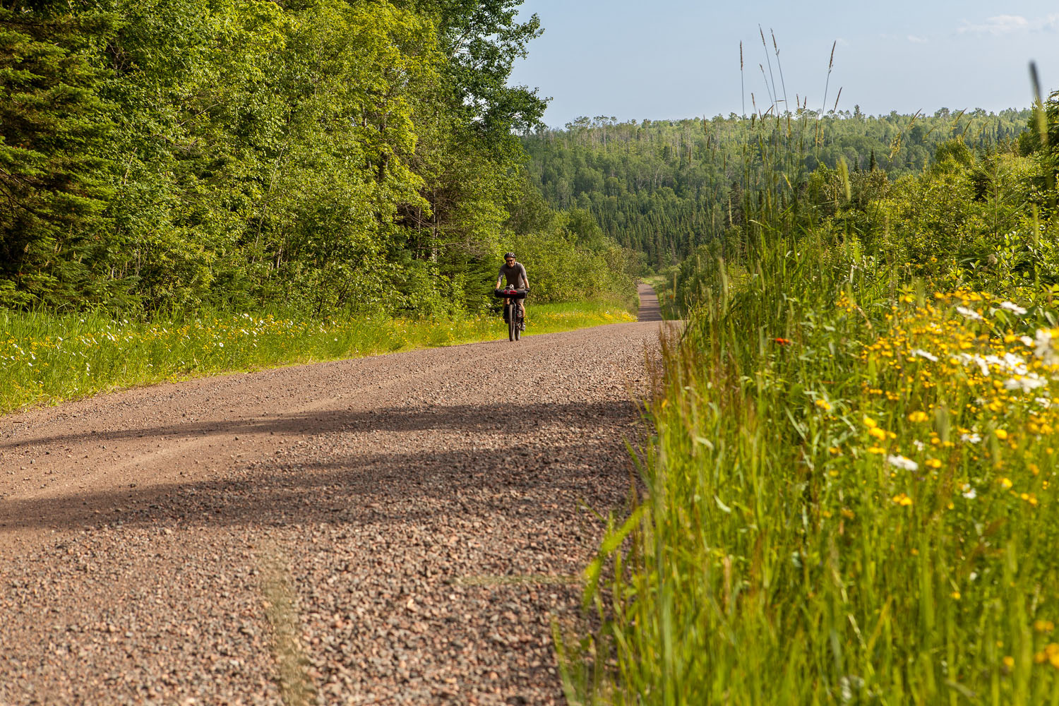
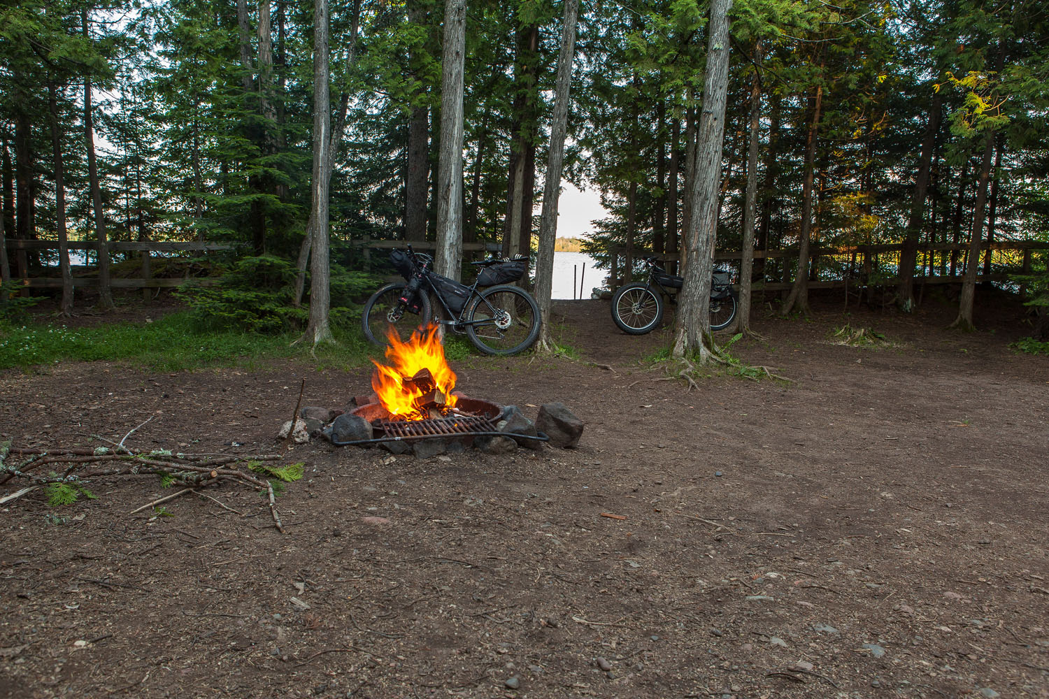
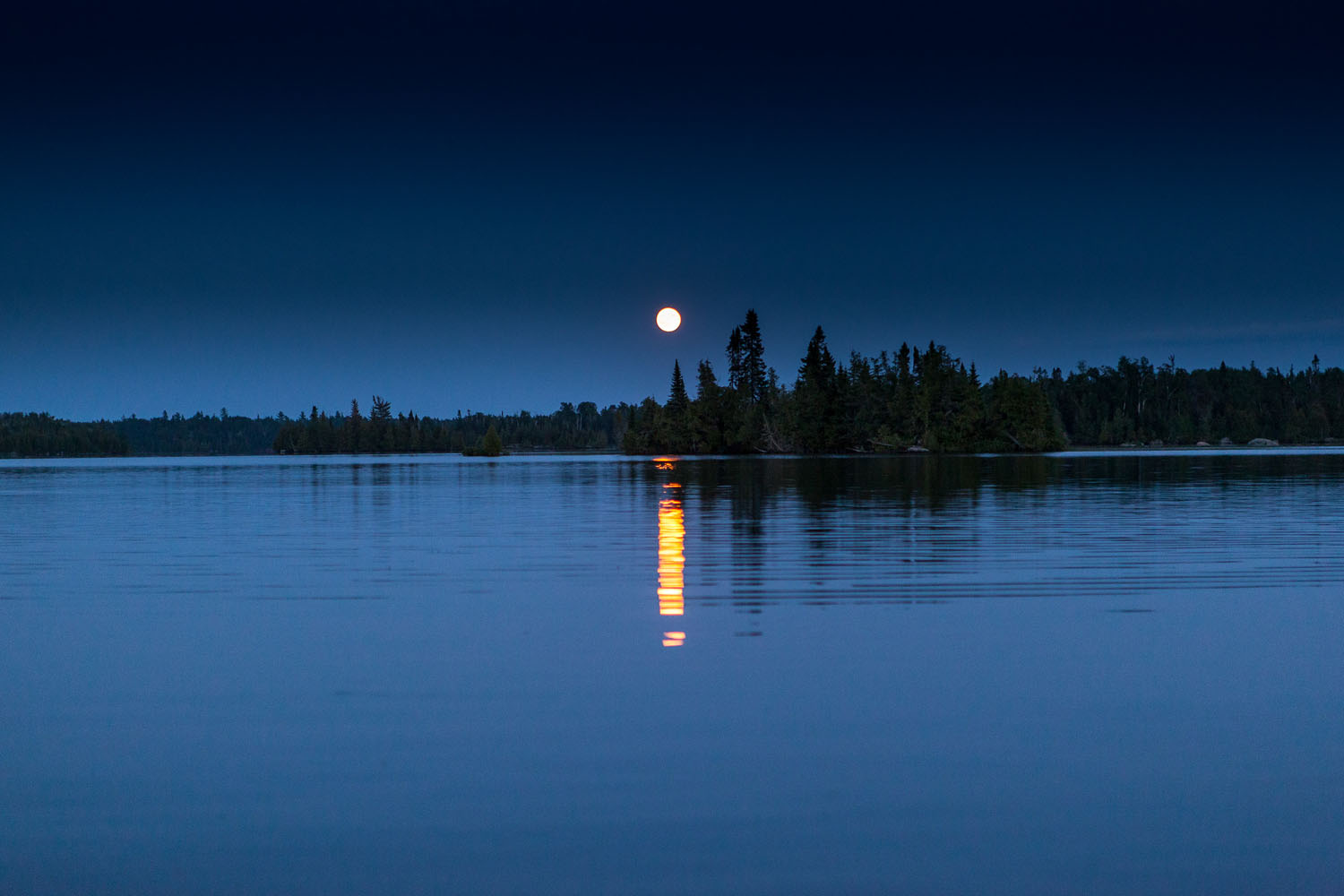
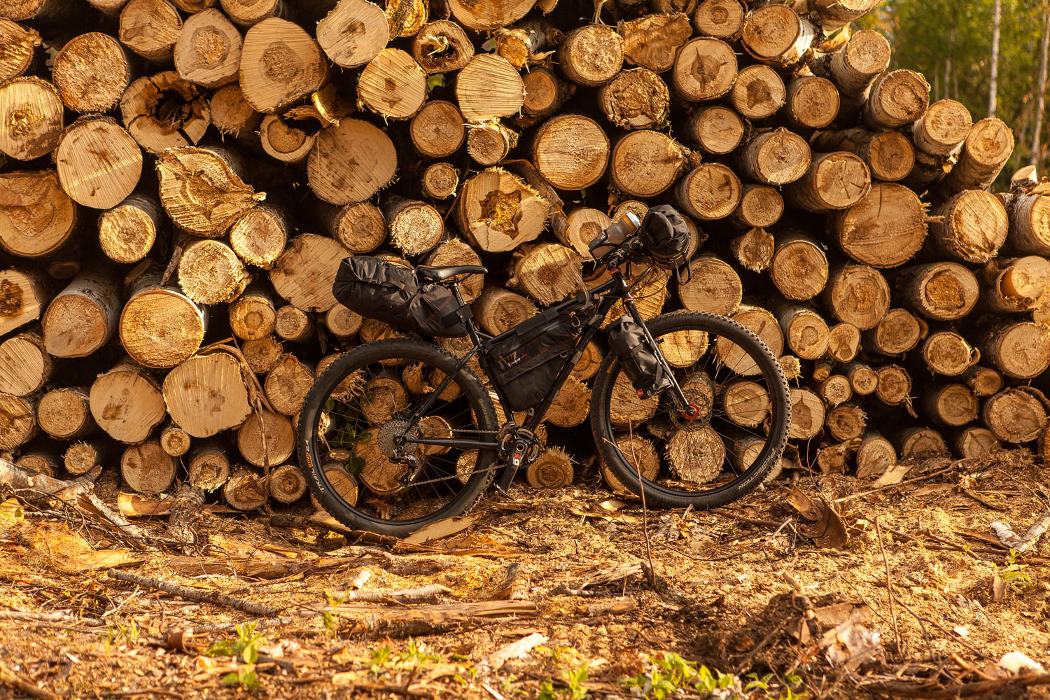
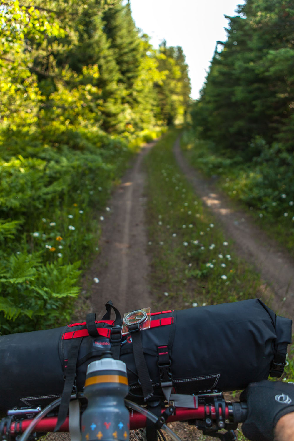
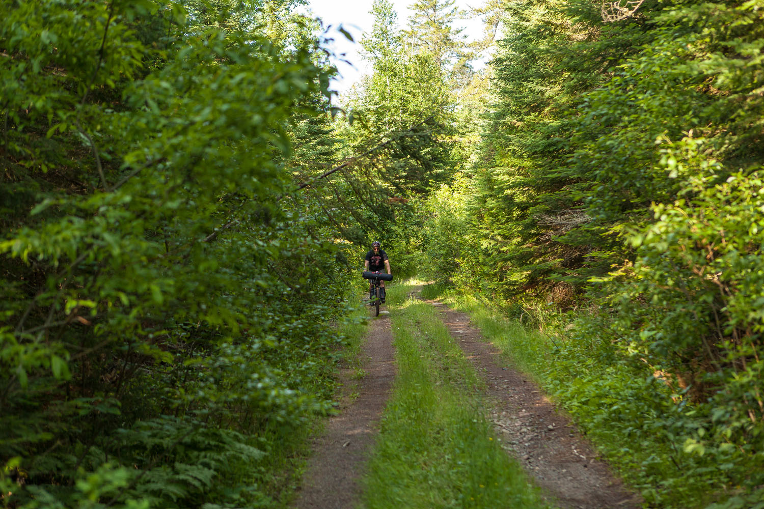
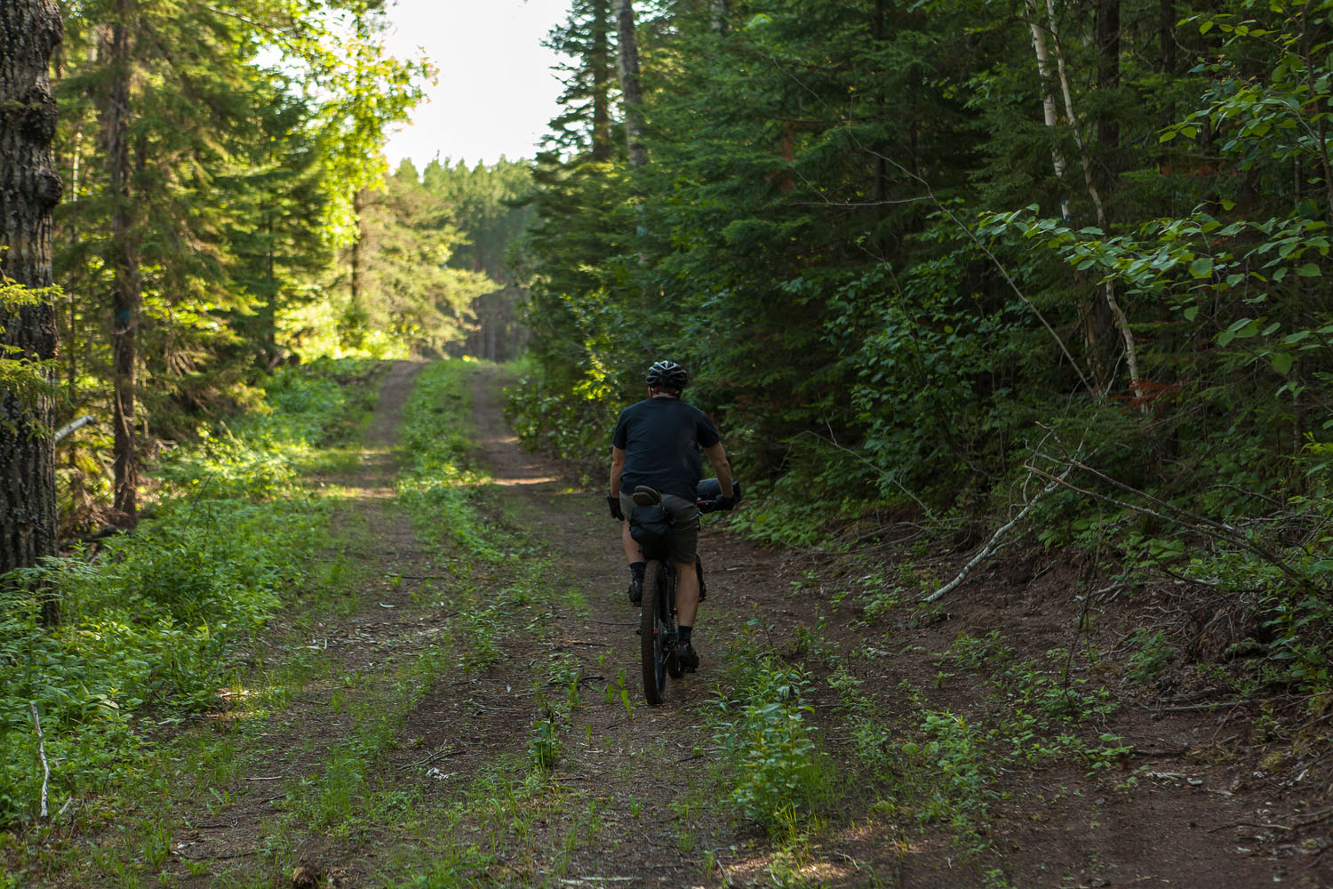
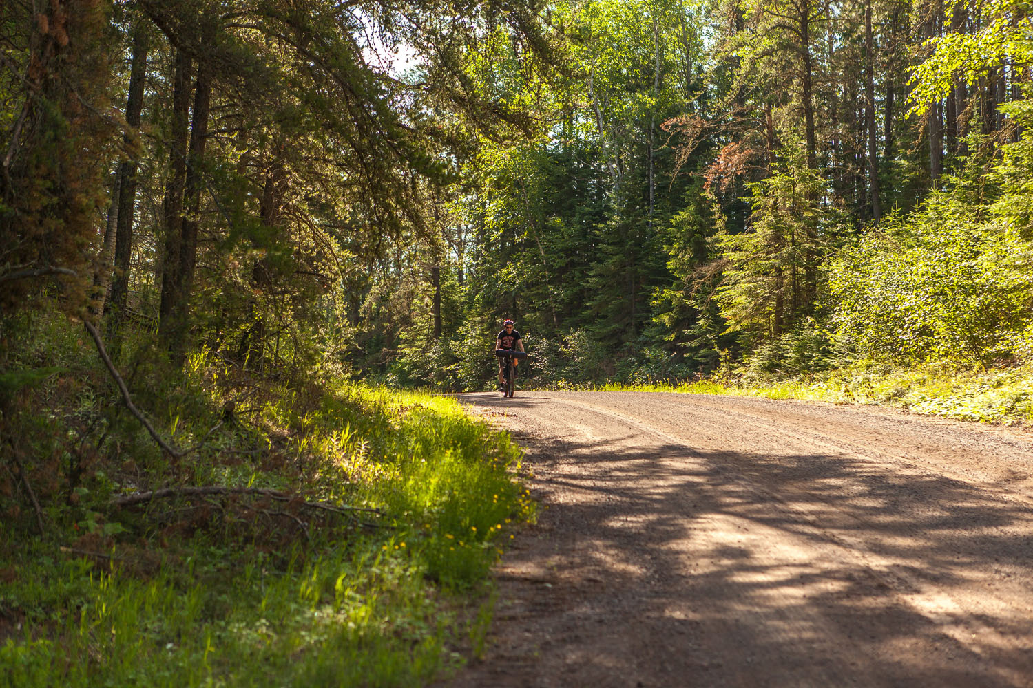
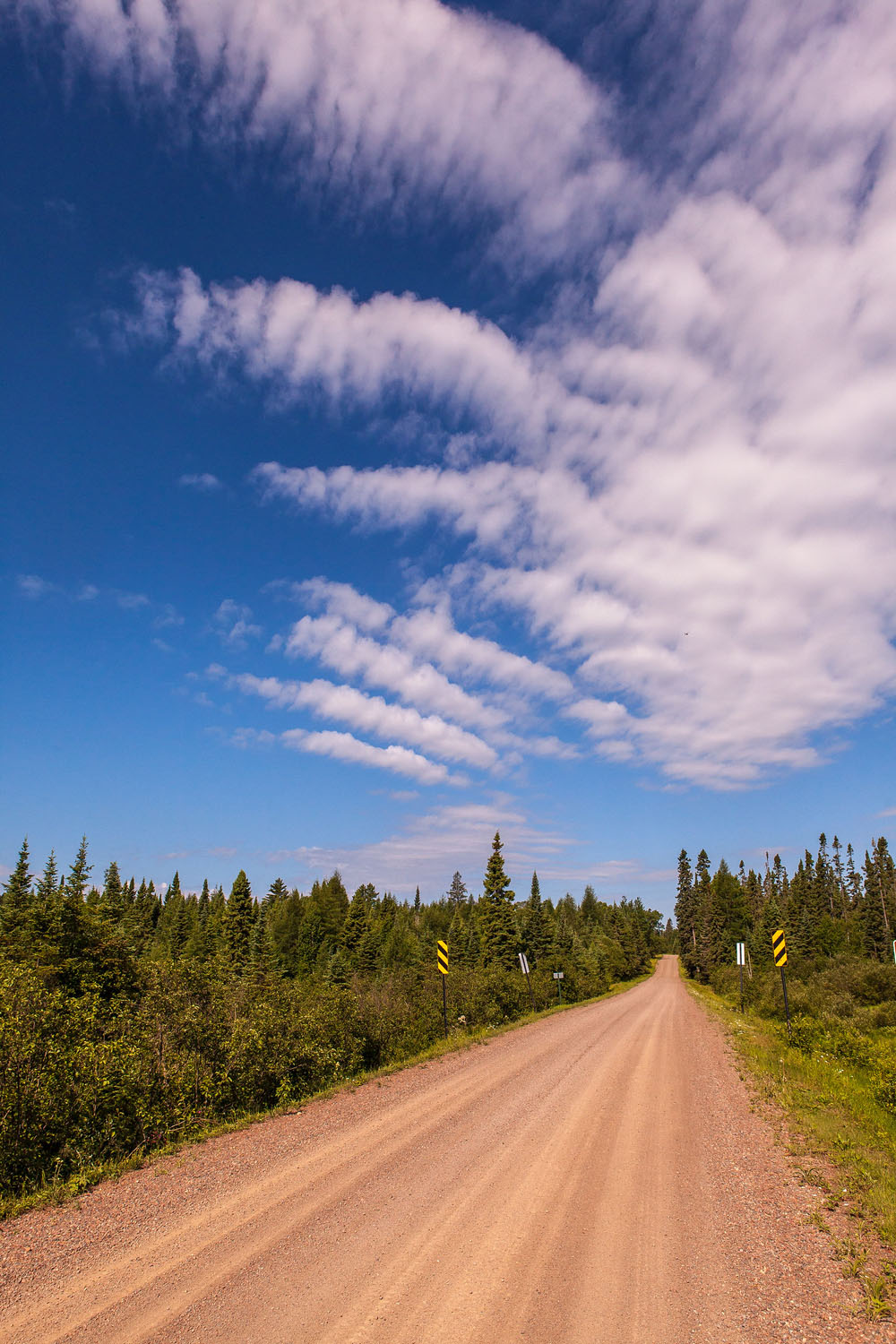
Straddle and Paddle starts and ends on the scenic Lake Superior shore, and travels the gravel, double-track and trails of the Superior National Forest. Dubbed ‘the Minnesota Arrowhead’ for its pointed shape, this region supports some of the best gravel and adventure races in the midwest – the Heck of the North, the Grand du Nord, and the Gravel Conspiracy to name a few. And now this route ties it together to support your northwoods rambling adventure. Lakeside rustic campsites abound (some with well water), and dispersed camping is allowed anywhere in the forest – providing ample flexibility.
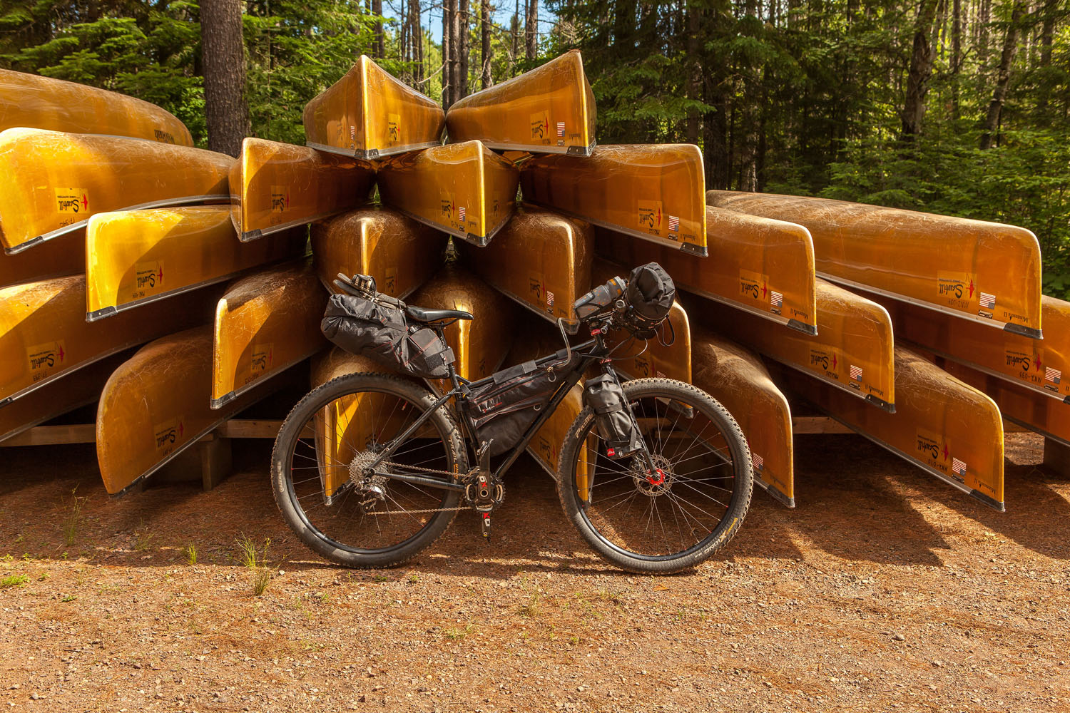
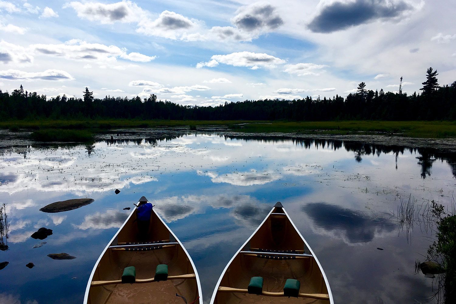
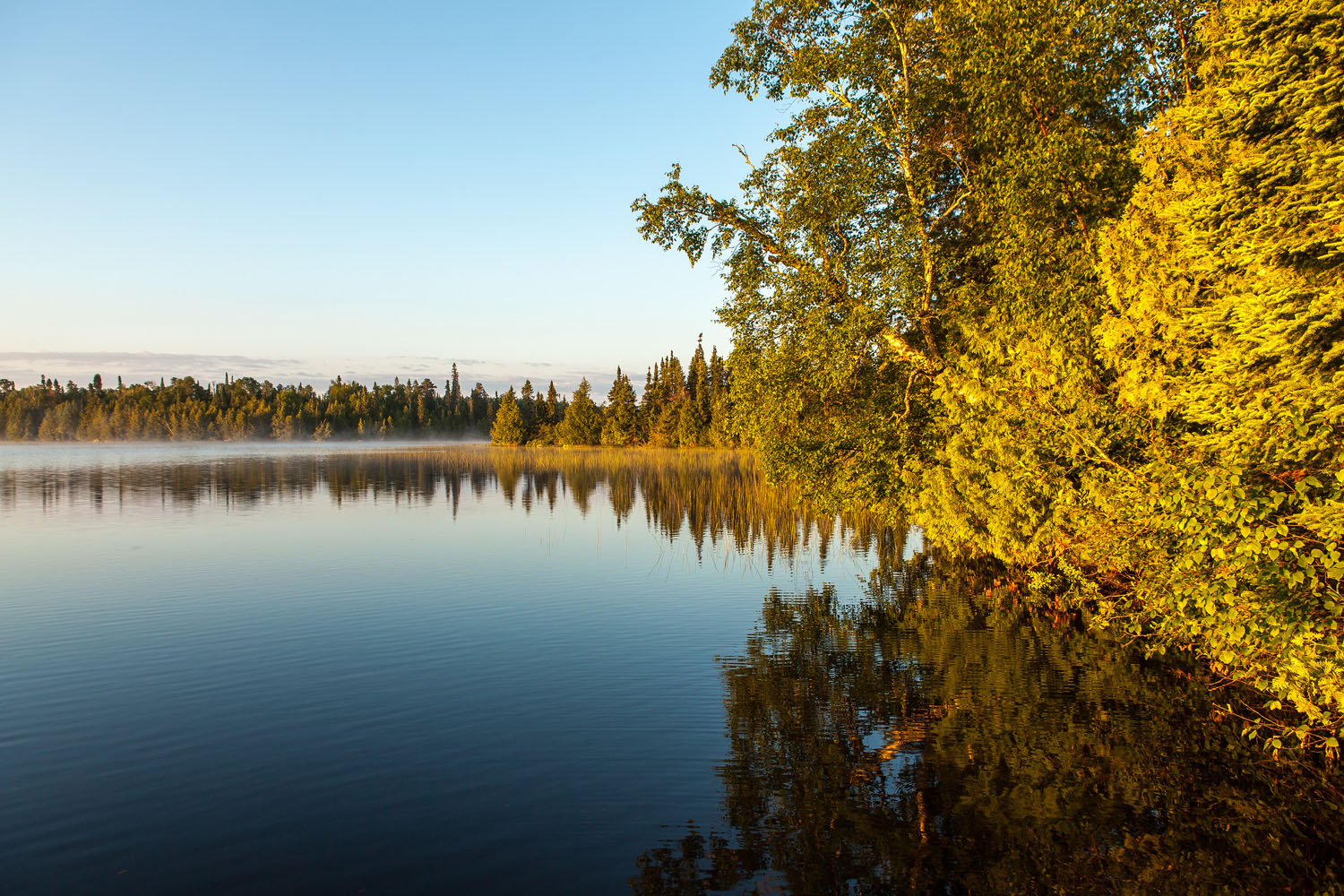
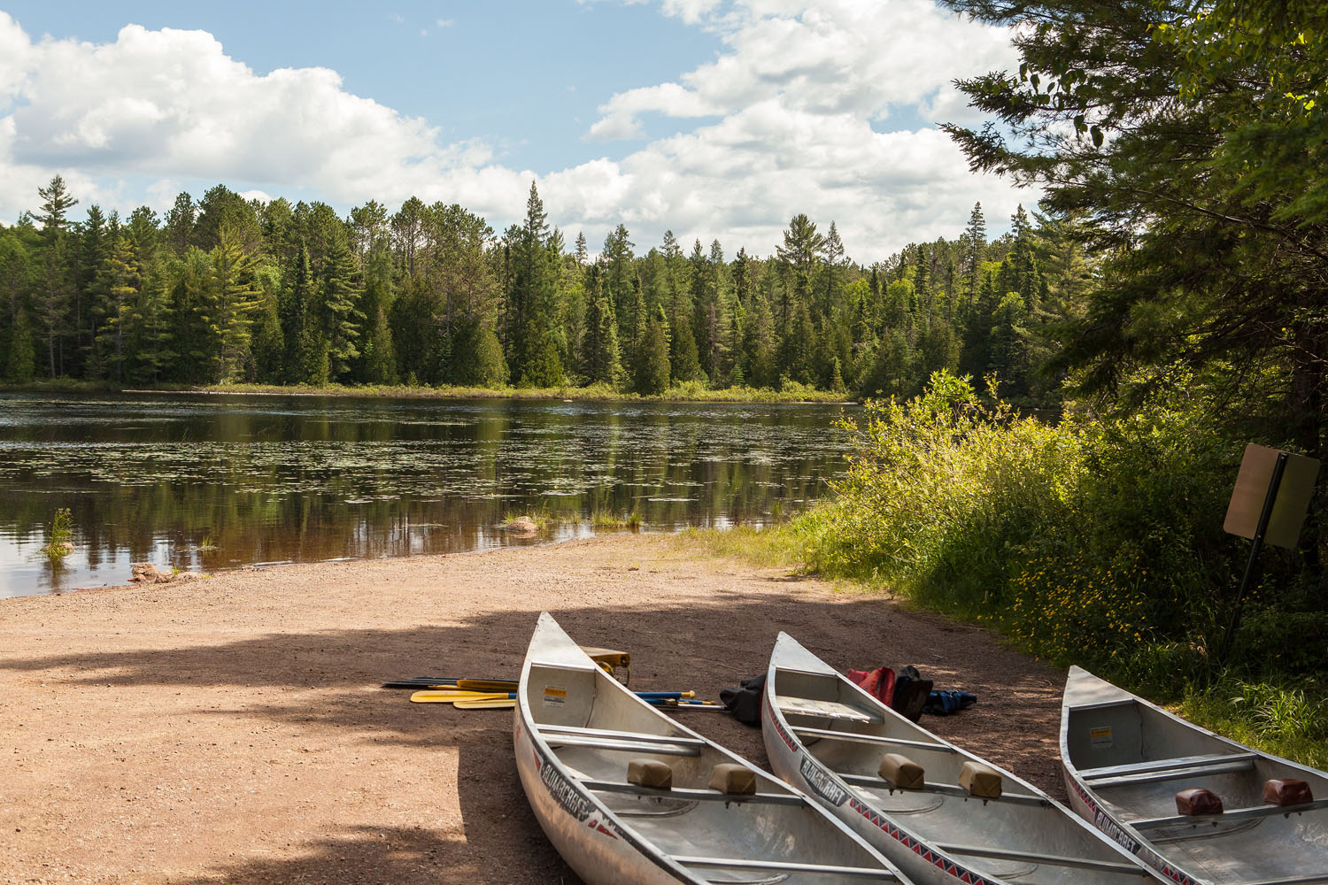
The northern portion of the route skirts the famed Boundary Waters Canoe Area Wilderness and includes a stop at Sawbill Outfitters. From Sawbill, you can opt to paddle an inexpensive canoe rental with a freely available permit, accessing one of the best short loops in the Boundary Waters. In three hours or less you can experience all the best the Boundary Waters has to offer. Bald eagles, moose, loons, pristine lakes, a wind-y river, and a cliff-side lunch stop.
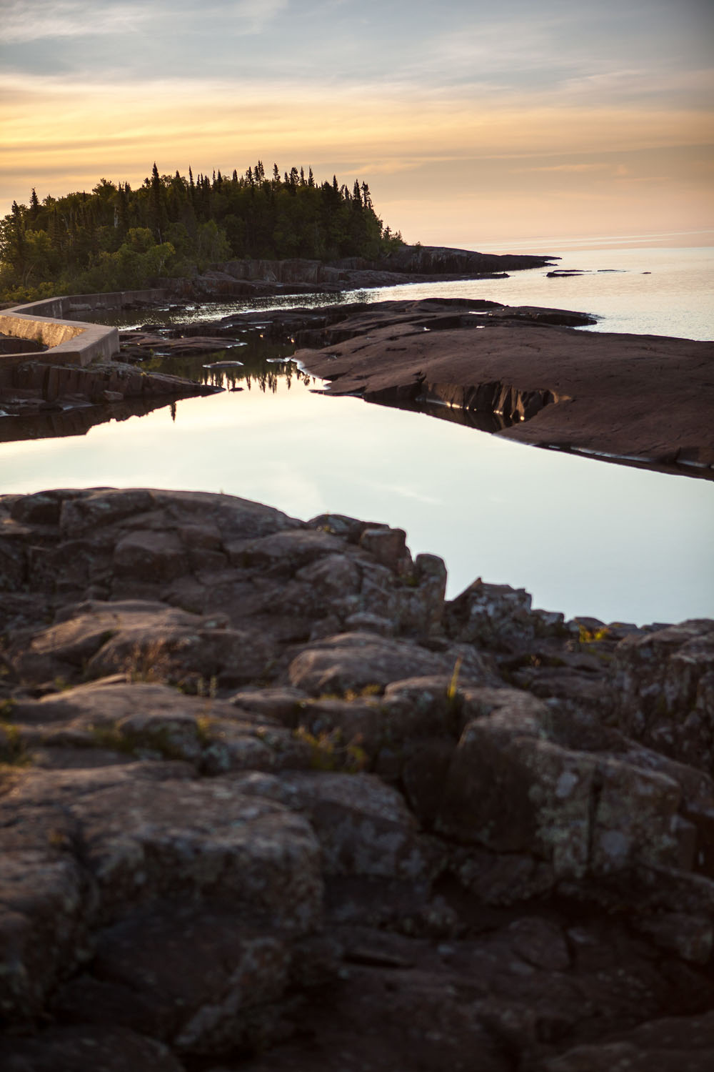
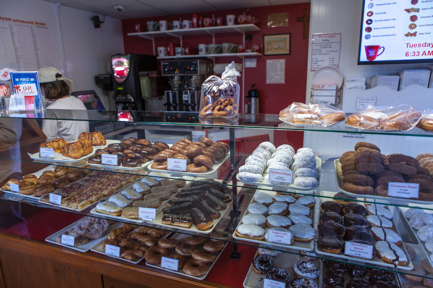
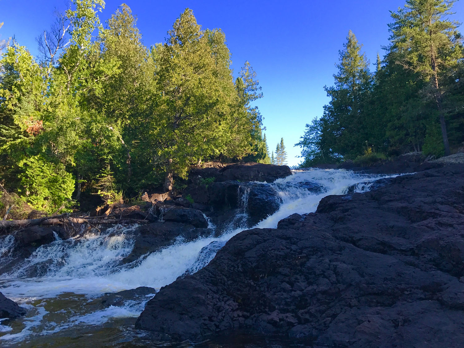
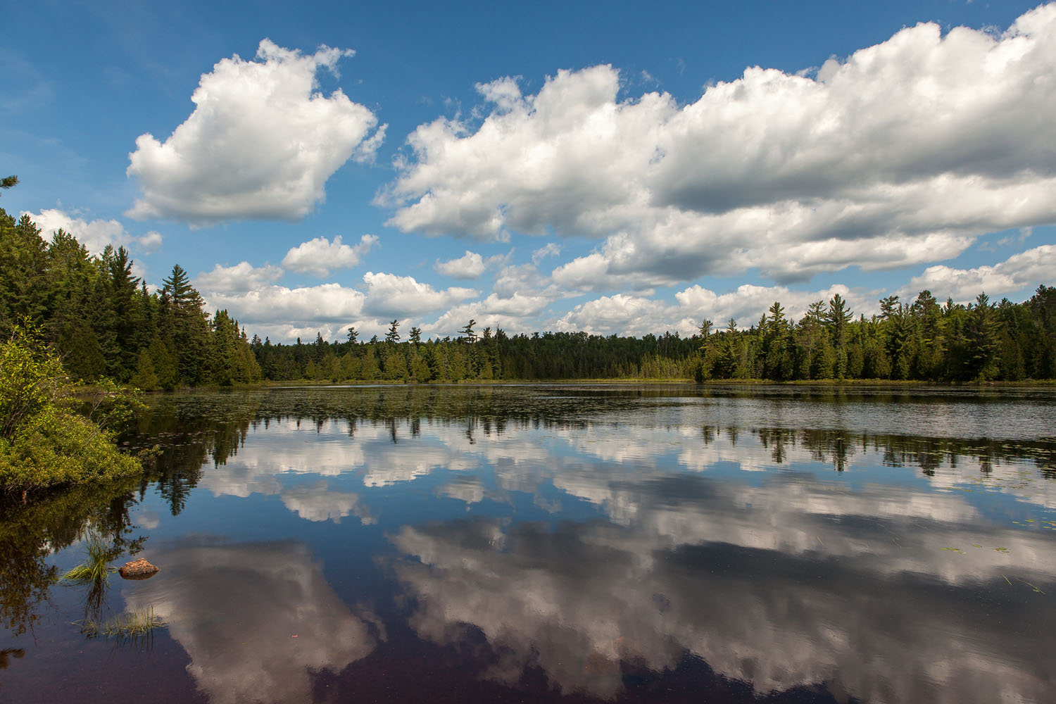
Minnesota is the land of 10,000 lakes and some of the most pristine and fishable are on this route. The forest holds many surprises, including waterfalls, hidden inns, classic outfitters, the highest point in Minnesota, and an abandoned Civilian Conservation Corps camp. It’s a comfortable drive from the Twin Cities getting you up and into the woods in one day. Celebrate the end of the ride at any of several great breweries on the Superior shore, enjoy the World’s Best Donuts (seriously) and know that any one of several local bike shops in the region can support your adventure. If you’re hungry for singletrack – you can always check out one of two great single track trail systems along the route.
Route Development: This route was assembled from countless sessions pouring over USFS and Minnesota DNR recreational maps, many seasons of exploring, and two bikepacking trips. It benefits from the knowledge and experience shared by Jeremy Kershaw (Heck of the North/Grand du Nord), Jeff and Sarah (Sawtooth Outfitters), Joshua Stamper (Gravel Conspiracy), and Jay Decoux (Fireweed Bike Coop and the mayor of the fine town of Grand Marais). Photographs by David Vessel Photography. In addition, Straddle and Paddle was the 4th winner overall in the ROUT3 contest.


Submit Route Alert
As the leading creator and publisher of bikepacking routes, BIKEPACKING.com endeavors to maintain, improve, and advocate for our growing network of bikepacking routes all over the world. As such, our editorial team, route creators, and Route Stewards serve as mediators for route improvements and opportunities for connectivity, conservation, and community growth around these routes. To facilitate these efforts, we rely on our Bikepacking Collective and the greater bikepacking community to call attention to critical issues and opportunities that are discovered while riding these routes. If you have a vital issue or opportunity regarding this route that pertains to one of the subjects below, please let us know:
Highlights
Must Know
Camping
Food/H2O
Trail Notes
Resources
- Remote, national forest double track and gravel roads with many options for customizing the route.
- The choice of an optional but soul-refreshing Boundary Waters paddle. Sawbill outfitters, family-run by it’s third-generation, is an institution in the north woods. Paddle a rented canoe on the Kelso Loop – one of the nicest short loops in the BWCA. Three lakes and one river easily navigated in three hours, with portages so short you can see across them.
- Get your shred on at TWO dedicated single-track trail systems along the route! Britton Peak near Tofte, and Pincushion Mountain on the Gunflint Trail have loops for all skill levels.
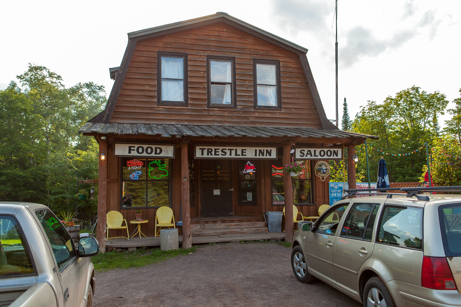
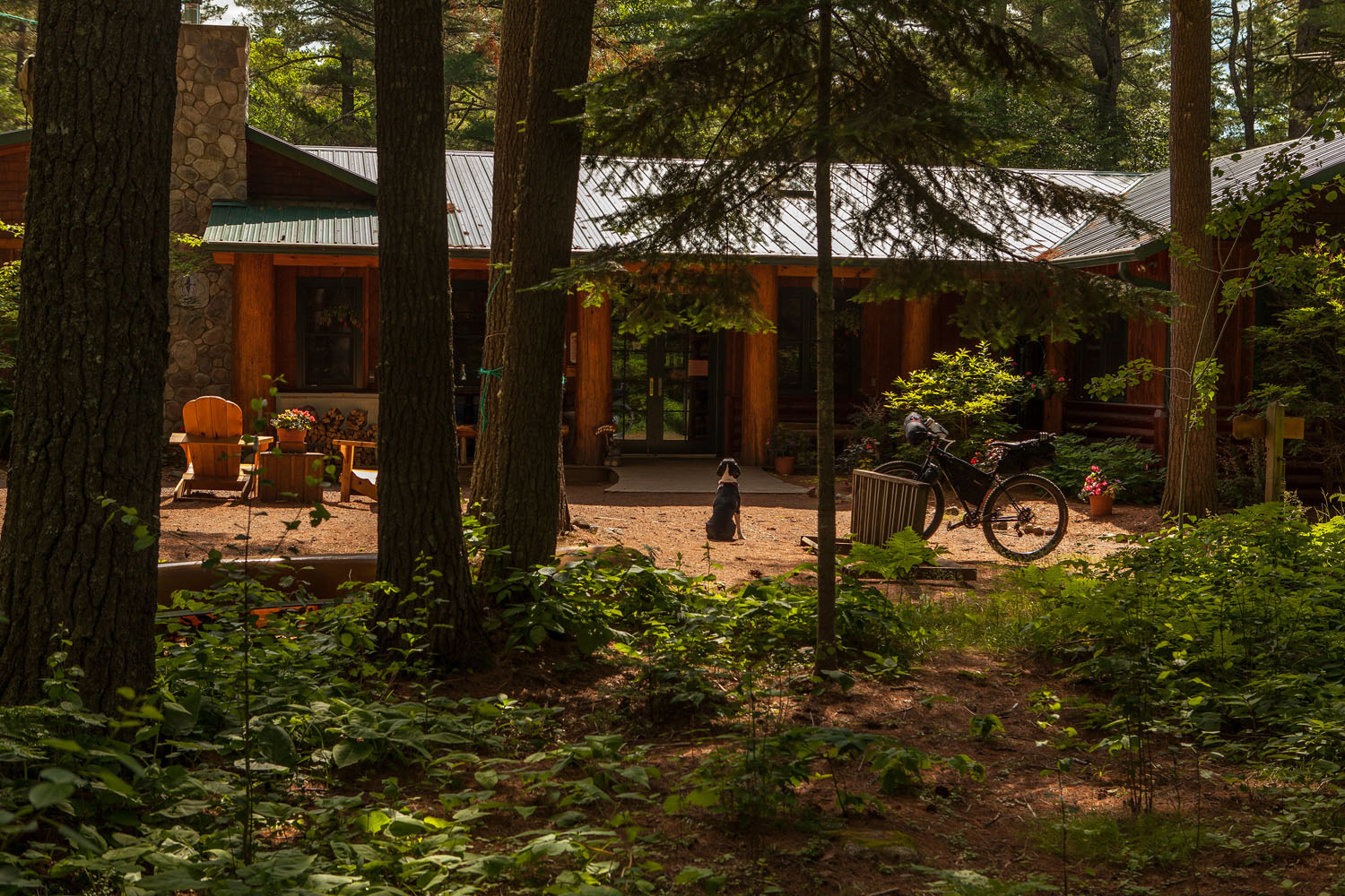
- Fill up on great burgers and Minnesota craft beer at the Trestle Inn hidden in the middle of the woods.
- Carry less, bike more, with the Trestle Inn your first dinner, convenient re-supplies at Sawbill Outfitters and the Devil Track general store, and the towns of Lutsen and Grand Marais along the route, you won’t have to carry a full four days worth of meals.
- Pack a pole and catch a fish. There are lots of fishing opportunities should you want to bring a rod and tackle and try your luck. This route crosses several trout streams, and Superior National Forest contains some of the best fishing lakes in Minnesota.
- Enjoy a sunrise over the Grand Marais harbor, walk to the lighthouse in one of the best harbor-towns in America. And don’t miss the World’s Best Donuts while you’re there. They truly live up to their name.
- Even the paved sections are worth riding – bomb the two mile downhill of the Gunflint Trail and later ride along the shore on the Gitchi-Gami bike path – both with stunning lake views and rocky shoreline.
- Explore the great state parks of the north shore. Pre-or-post ride, catch waterfalls, overlook hikes, and shore-side rock features at some of the best State Parks in the midwest, several of which are connected by the Gitchi-Gami bike path.
- Suitable between May – October – though colder on each end of that range. The best time to go is August through the first half of September – when the bugs are winding down but before the cold weather has come.
- Cell access is not reliable in the north woods. The porch of Sawbill Outfitters does have an open wireless hotspot. Be prepared with a good map, GPS, or both. The US Forest Service ‘Superior National Forest Visitor Map’, at $10, is the map you need. It is available at ranger stations, but also can be purchased by mail and phone: Link here
- Parking – vehicles can be left overnight/multiple days at any Superior Hiking Trail parking lot. The route officially begins at one such roadside lot, just up Temperance River Road from Temperance River State Park. Just be sure you are at the Superior Hiking Trail lot (there will be a trail sign), on the west side of the road, and not the earlier grassy unmarked lot on the east side of the road for the swimming hole. There is also Superior Hiking Trail parking along the route near Lutsen ski hill.
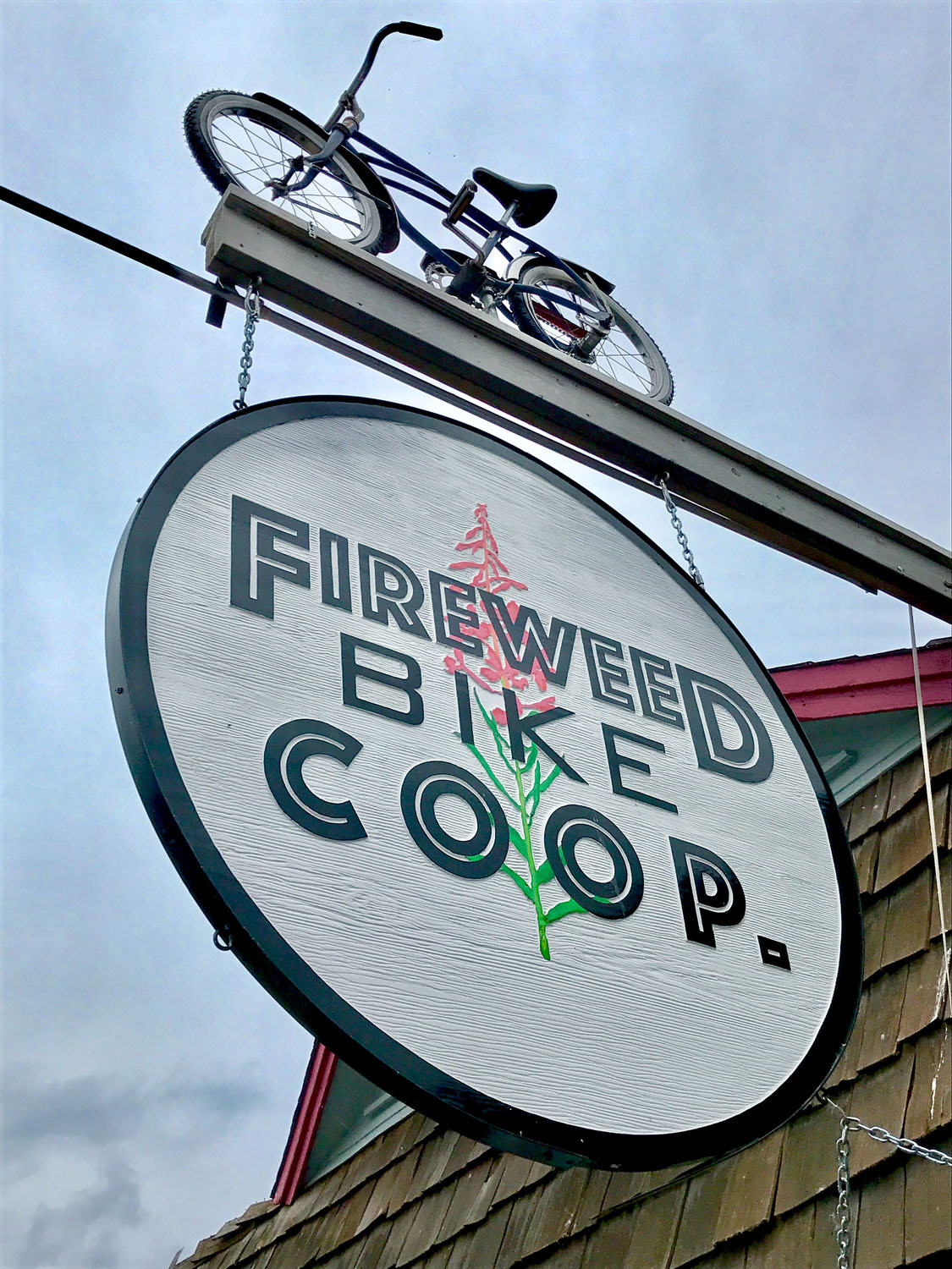
- There are two well-equipped bike shops on the route. Sawtooth Outfitters in Tofte near the start offers mountain bike rentals, parts, outdoor equipment rental and sale including everything needed in the backcountry. Don’t miss a final consultation with owners Jeff and Sarah regarding up-to-date conditions and information on backwoods attractions. Fireweed Bike Coop in Grand Marais offers rentals, a repair shop, and bike supplies. Chat with the owner, Jay, who also happens to be the Mayor of Grand Marais. And be sure to check out their giant arrowhead wall map for a final route consultation, or to share your experience.
- Additionally – Spoken Gear bike shop just south of this route, in Two Harbors, Minnesota, rents bikepacking bikes and optionally, a bikepacking kit that includes bags from their own Cedaero bike bag line. At a minimum, it’s worth a stop to peruse the bikes while downing a coffee from the co-located Cedar Coffee Company.
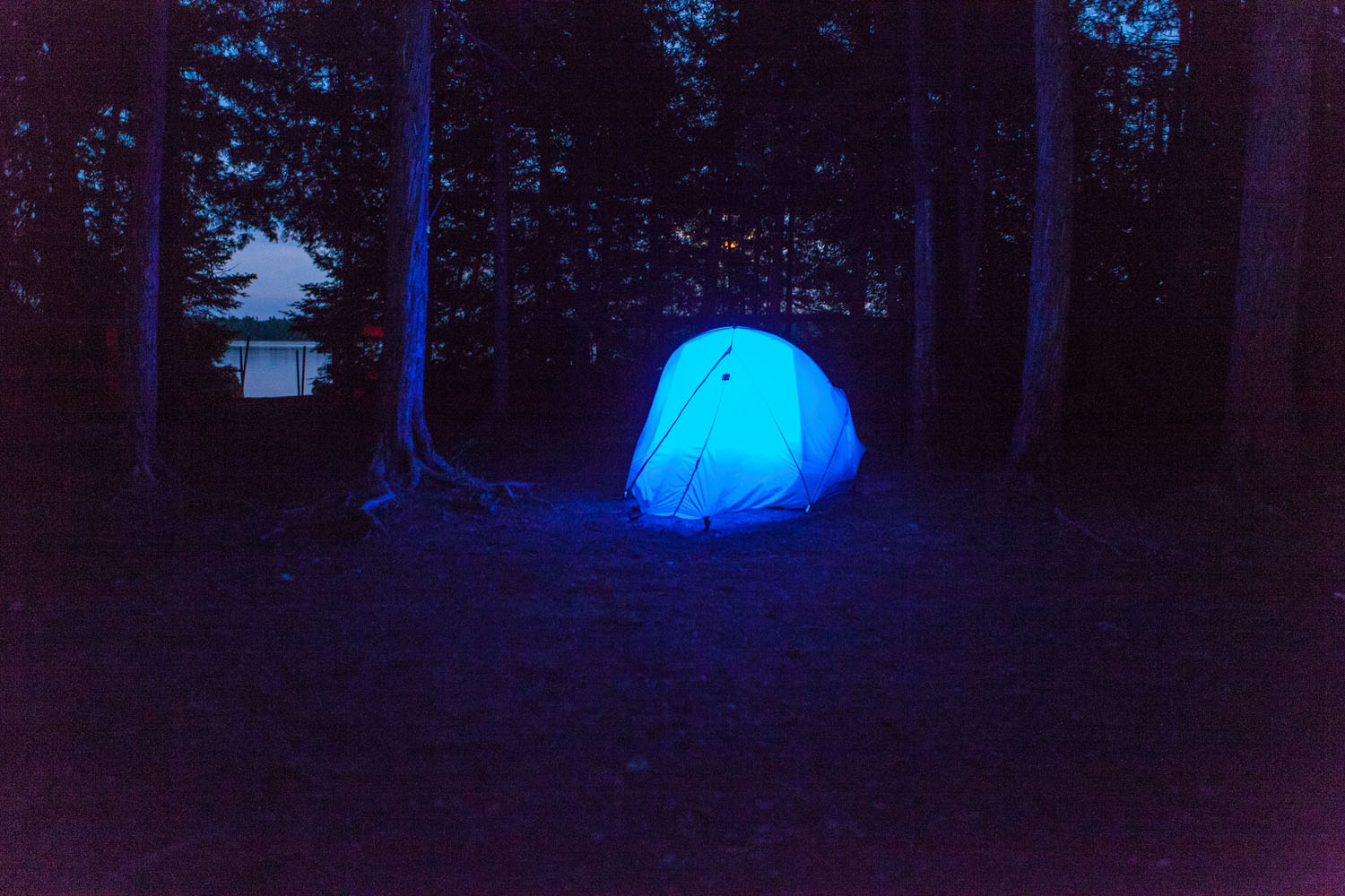
- Many options exist for camping. Developed USFS sites require a self-service fee but include potable water and generally have larger, more private sites. Rustic USFS sites are free but don’t have potable water. And dispersed camping is allowed anywhere along the route in the Superior National Forest.
- Developed USFS sites on or near the route include Divide Lake, Sawbill, Crescent Lake, Devil Track Lake, Two Island Lake, and Lake Kimball campgrounds. Rarely, water may be shut off while water-quality remediation is occurring. Check with the USFS for up-to-date conditions and fee schedule. Bring cash or checks.
- Rustic sites include Silver Island Lake, Windy Lake (small sites, roadside), Kawishiwi, Baker Lake, Lake Clara (small sites), Cascade River (roadside), and Trout Lake. Silver Island Lake has large sites, several along the lake, and even one with it’s own dock. It’s a great first-night campground.
- Follow USFS guidelines when dispersed camping – essentially ‘leave-no-trace’. Fires for dispersed camping should either be avoided, or use rock rings when they exist. There is a rock ring in the woods just east of the hidden falls south of the Eagle Mountain trailhead, and also one at the ‘hippie camp’ marked on the route.
- Trees are everywhere, making this an extremely hammock-friendly route. If you travel in the Spring or Fall and want to mock-it, just be prepared for cooler nights with either a warmer bag, or a hammock insulation layer.
- Trout Lake resort has several camper cabins for rent, which could be an easy option for your third night.
- Temperance River State Park is a good before/after the route campground, but is extremely popular throughout the season. All sites are reservation-only – check for availability.
- Tent camping at the Grand Marais Municipal Campground is right along the bike path in town, but is crowded and noisy, being close to the highway as well. It is not recommended except as a last resort.
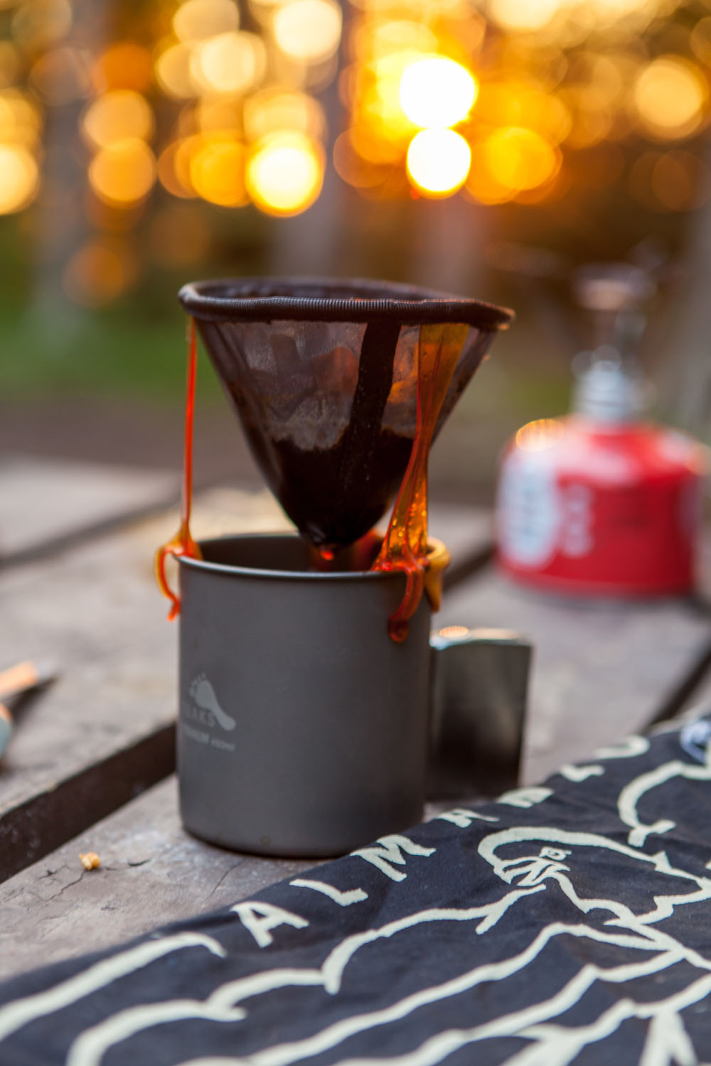
- There are many choices for fueling and restocking on this route. The first day should put the Trestle Inn at a late-lunch or early dinner stop depending on when you start. Call ahead to confirm they are open. Sawbill Outfitters isn’t a full grocery store, but has a few basics that can be used in a pinch. Same for the Devil Track general store. There are full grocery stores in Tofte, Lutsen, and Grand Marais, including a great co-op in Grand Marais.
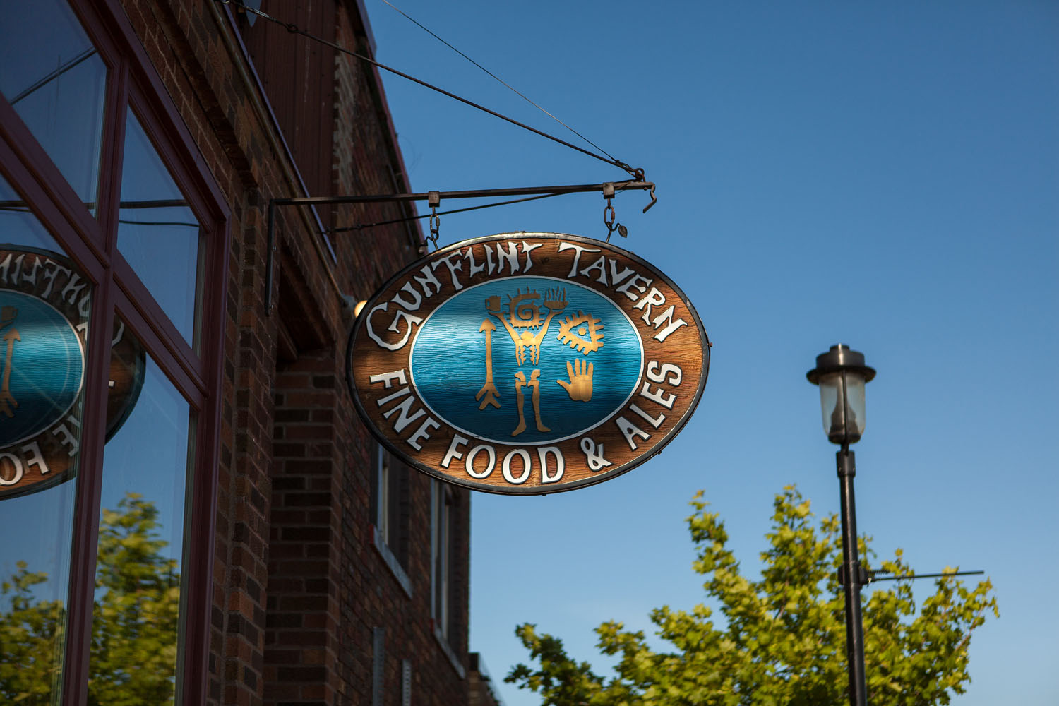
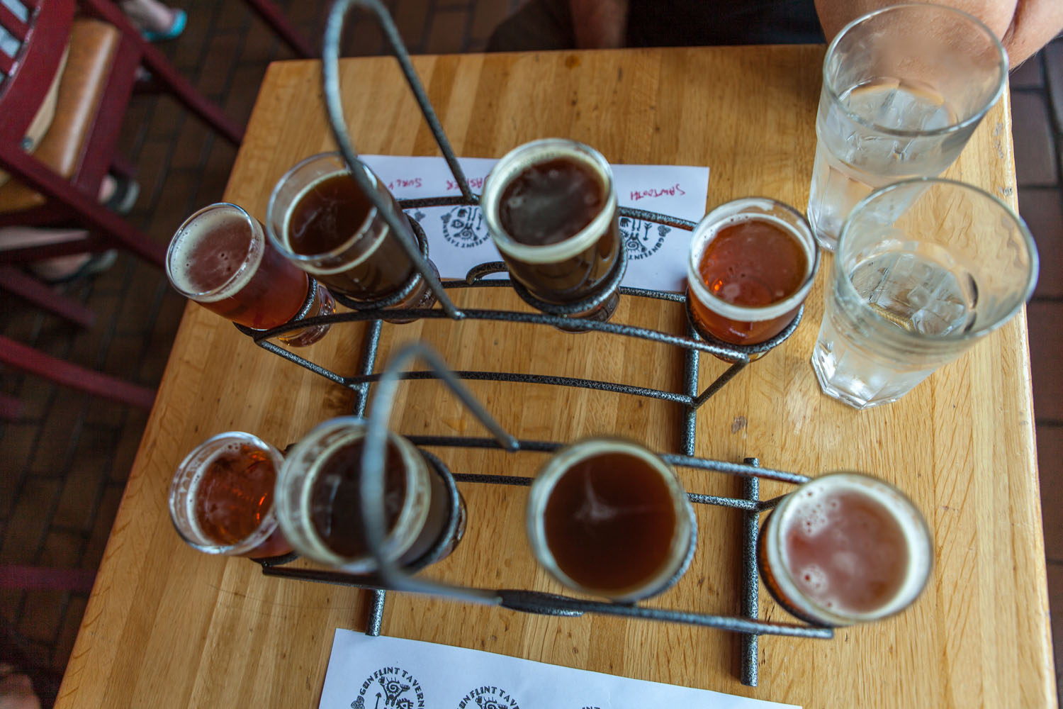
- Grand Marais has many food and craft beer options. The Gunflint Tavern serves tasty burritos (among other savory delights) and flights of their in-house brewed suds. Voyageur brewing is a new northern brewpub with a food menu that will help you fe-fuel and get back on the trail. You can keep your bike close at Voyageur with their ample outdoor patio.
- World’s Best Donuts is a must-eat anytime. Act like a local and purchase at the outdoor window, then take your four food groups (fat, sugar, salt, carbs) to the nearby beach. They start serving at 6:30am until they run out (typically around 2pm).
- The route passes through the Lutsen ski resort which includes a few restaurants.
- Fika coffee is a short detour north of Lutsen ski hill on 61. They roast their own beans using a special (and rare) convection roaster and it’s worth it if you need (or just love) the caffeine.
- Potable water is available throughout the route, primarily at developed USFS campgrounds but also the Trestle Inn and Sawbill Outfitters. Check with the USFS for any outages.
- Plan to bring some form of water treatment at least as a back-up. With so much potable water on the route, a few chlorine or iodine tablets should be all you need.
The standard flow of this route starts at the Superior Hiking Trail parking lot just north of Temperance River State Park. Enjoy a meal at the Trestle Inn, then camp at Silver Island Lake or Lake Kawishiwi. Day two begins with a ride to Sawbill Outfitters and a paddle in the BWCA. You can stay at Lake Clara, or dispersed camping along the route. Day three has you riding over to Lake Kimball or closer to Grand Marais. Day four includes a refresh and refuel in Grand Marais, before rolling back to the starting point.
Route Alternates
This route is highly customizable – including shortening of the route — you may want to shift or expand your ride in one of the following ways:
- Continue past the Divide Lake camp to explore more of the double-track of the Isabella ranger district. Some of the best forest tracks in the arrowhead.
- Add a night in the 348/347 forest road loop. These are narrow double-track forest roads long considered a worthy mountain-bike ride by themselves. With ample distributed and established camping at the various lakes internal to this loop.
- Shorten the route in any of the following ways – go direct to Silver Lake campground from Trestle Inn via 7, skip Sawbill and the BWCA, head directly to Grand Marais after Devil Track, or ride the Gitchi-Gami and 61’s wide shoulder from Grand Marais to Tofte if you need a bail-out option.
Swimming
There is a lot to see and do, but don’t miss two swimming options not easily visible from the route. The Temperance River swimming hole is just north of 61 on Temperance River Road, noted by a grass parking lot on the road’s east side. Walk your bikes a few yards into the woods and you’ll hear the water, and the delighted yelps of leaping swimmers. The Cascade River has a large waterfall along 45. Access to the water is on the east side of the large, new bridge over the river. As the route climbs past the river on 45, be sure to walk a few yards down the Superior Hiking Trail for a stunning view of the waterfall.
Canoeing
Additional details should you embark on the optional but highly recommended Boundary Waters day trip: Day use permits do not require a reservation and are free. You will still need to fill out a form, drop in the permit box, and bring the form stub along with you as you canoe. Canoes can be rented at Sawbill outfitters. You may reserve ahead, but they typically always have a supply of their Royalex canoes. They are willing to store bicycles in their gear garage for safe keeping.
The Kelso loop is easy to follow, though you should purchase a Boundary Waters map covering the loop at the outfitters. The portages are extremely short and flat and in each case, the canoe can simply be carried by two people if you would rather not hoist it on your shoulders. The loop goes up Sawbill lake, into Kelso Bay on the left side of Sawbill, and then you cross a short (three canoe length) portage into the Kelso River. Follow that around an L-shaped bend, and as you round the point into Lake Kelso, you turn from North to South into the Lake. At the southern end of Lake Kelso you will find a ten canoe length portage into Alton Lake. You head South on Alton lake, crossing to its eastern shore midway down the lake to the final short portage back to Sawbill. From there, it’s a quick paddle back to the landing at Sawbill Outfitters.
Fishing
Fishing licenses are available at the Holiday gas station near the start of the route in Tofte. Sawbill lake has a fishing pier, and there are a few trout streams along the route. Some shoreline fishing is possible at other lakes, and the short Boundary Waters loop offers its best fishing on Alton and Kelso lake.
Additional Resources
- US Forest Service – Superior National Forest Map: Link
- US Forest Service – Superior National Forest information: Link
- Sawtooth Outfitters – bike rentals, supplies, and repair on route: Link
- Fireweed Bike Coop: Link
- Sawbill Outfitters – canoe rental: Link
- Spoken Gear bike shop including bikepacking rental: Link
- Gitchi-Gami Lake Superior paved bike path: Link
- Minnesota DNR – Fishing license information: Link


Terms of Use: As with each bikepacking route guide published on BIKEPACKING.com, should you choose to cycle this route, do so at your own risk. Prior to setting out check current local weather, conditions, and land/road closures. While riding, obey all public and private land use restrictions and rules, carry proper safety and navigational equipment, and of course, follow the #leavenotrace guidelines. The information found herein is simply a planning resource to be used as a point of inspiration in conjunction with your own due-diligence. In spite of the fact that this route, associated GPS track (GPX and maps), and all route guidelines were prepared under diligent research by the specified contributor and/or contributors, the accuracy of such and judgement of the author is not guaranteed. BIKEPACKING.com LLC, its partners, associates, and contributors are in no way liable for personal injury, damage to personal property, or any other such situation that might happen to individual riders cycling or following this route.
Please keep the conversation civil, constructive, and inclusive, or your comment will be removed.