


Patagonia Beer Trail, Argentina
Distance
220 Mi.
(354 KM)Days
6
% Singletrack
0%
% Rideable (time)
97%
Total Ascent
15,000'
(4,572 M)High Point
4,840'
(1,475 M)Difficulty (1-10)
6?
- 4Climbing Scale Fair68 FT/MI (13 M/KM)
- -Technical Difficulty
- -Physical Demand
- -Resupply & Logistics
Contributed By
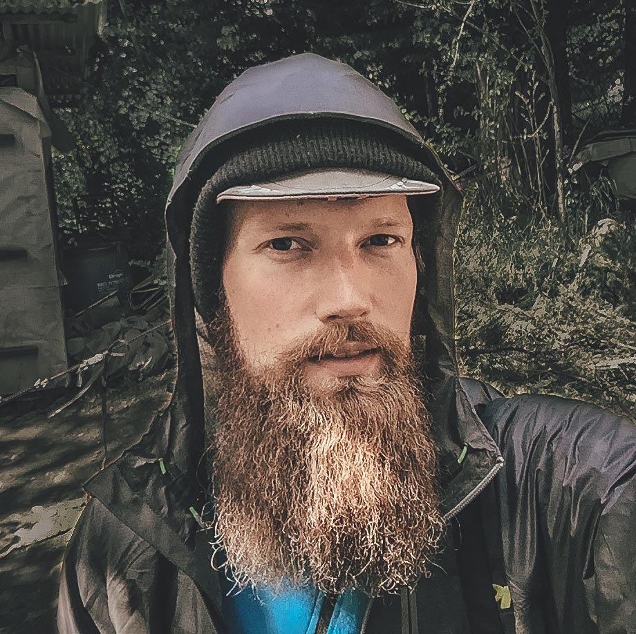
Taneli Roininen
Gone Bikefishing
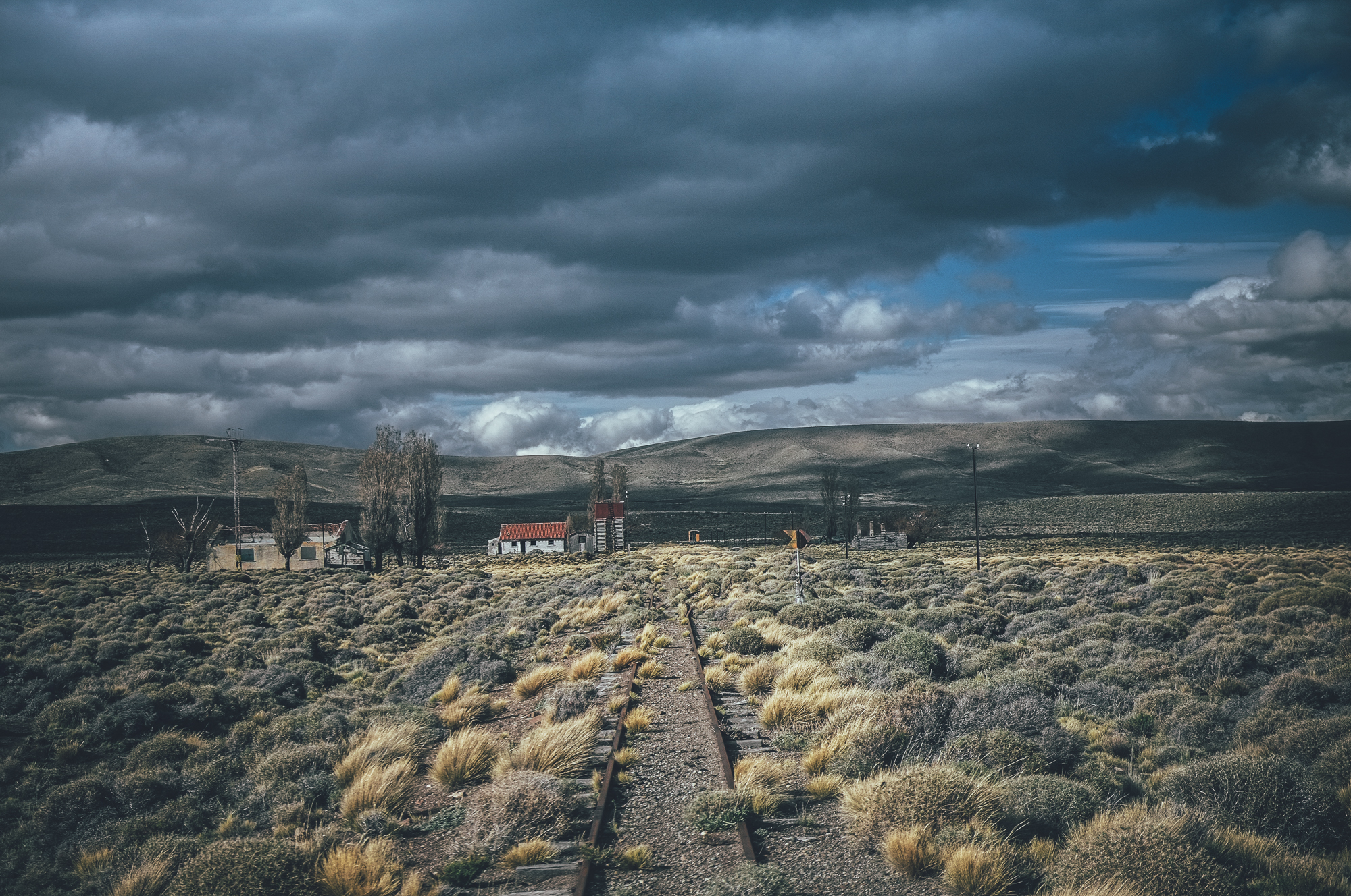
In the late 19th century, German immigrants planted the first hops in Argentina. Since then, the valleys around San Carlos de Bariloche, El Bolsón, and San Martin de Los Andes have become amongst the most important hop-growing areas in South America; there are now as many as twenty actively operating breweries, offering a selection of more than a hundred different beers and ales.
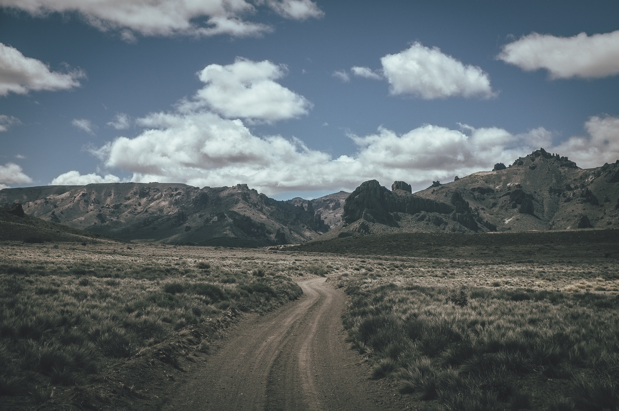
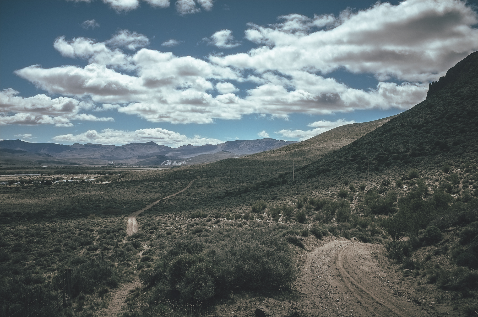
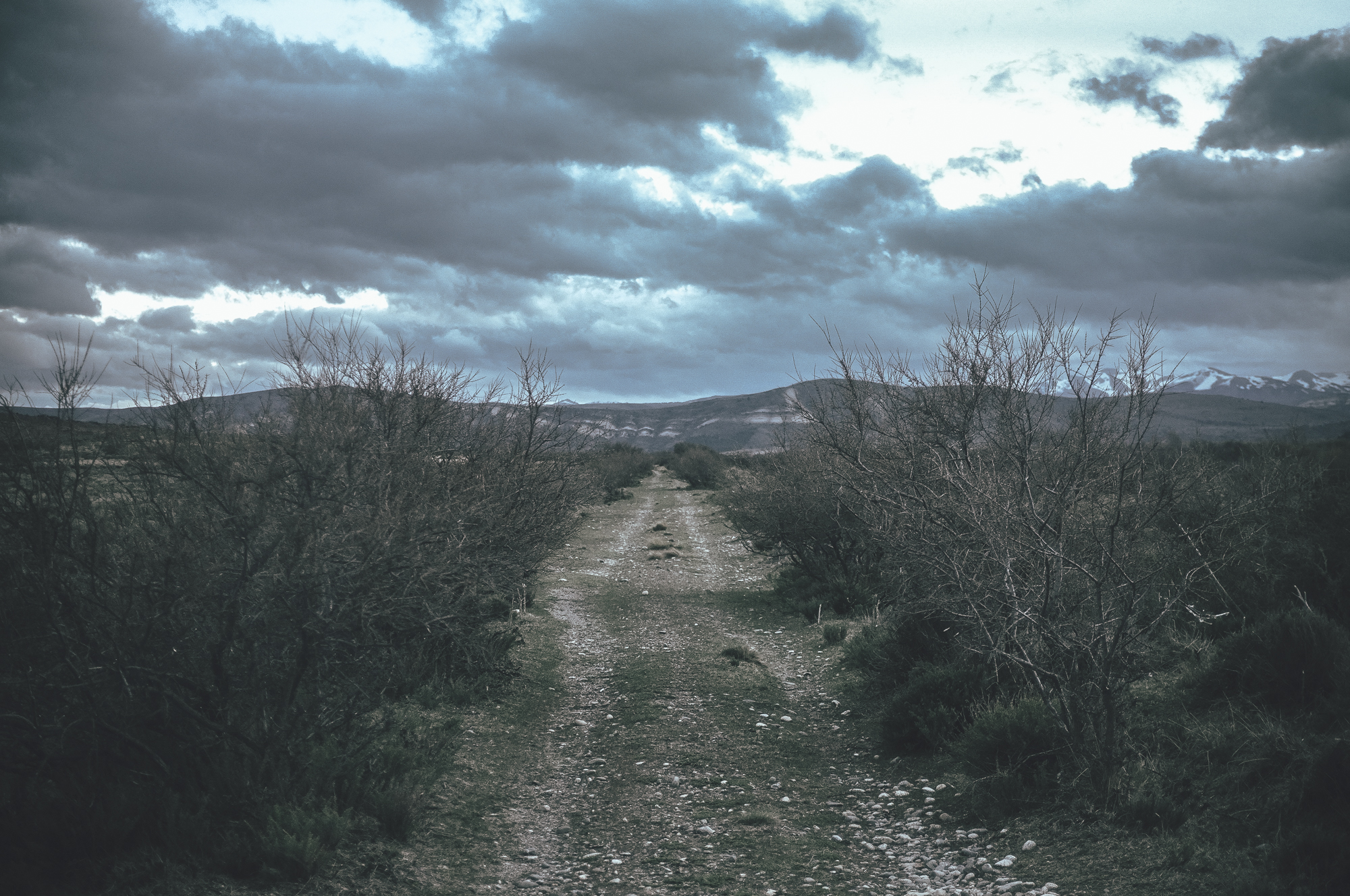
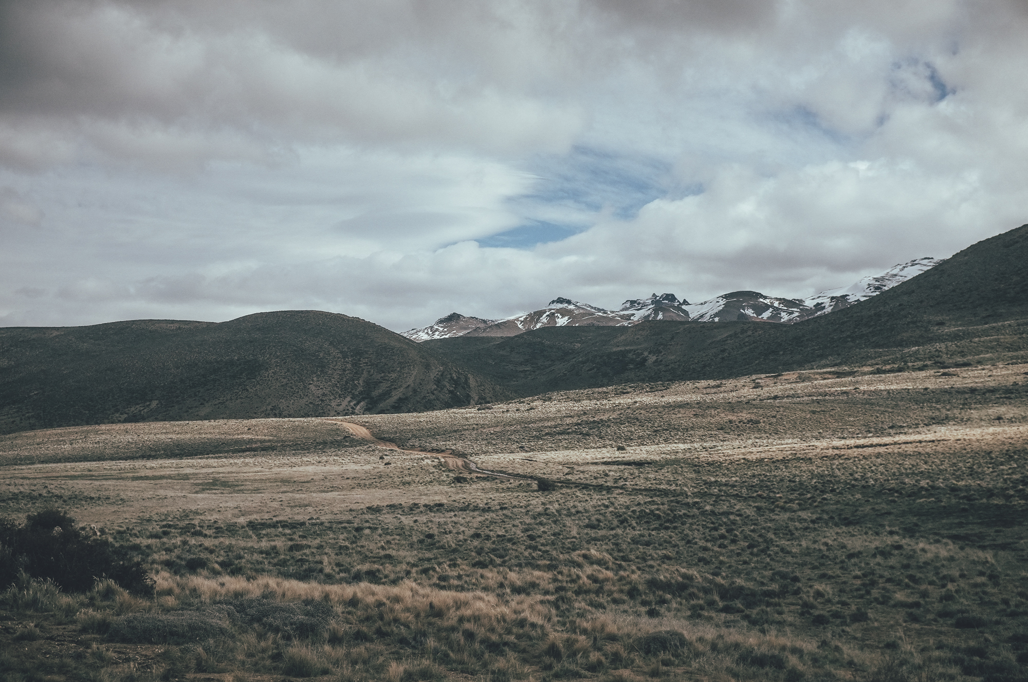
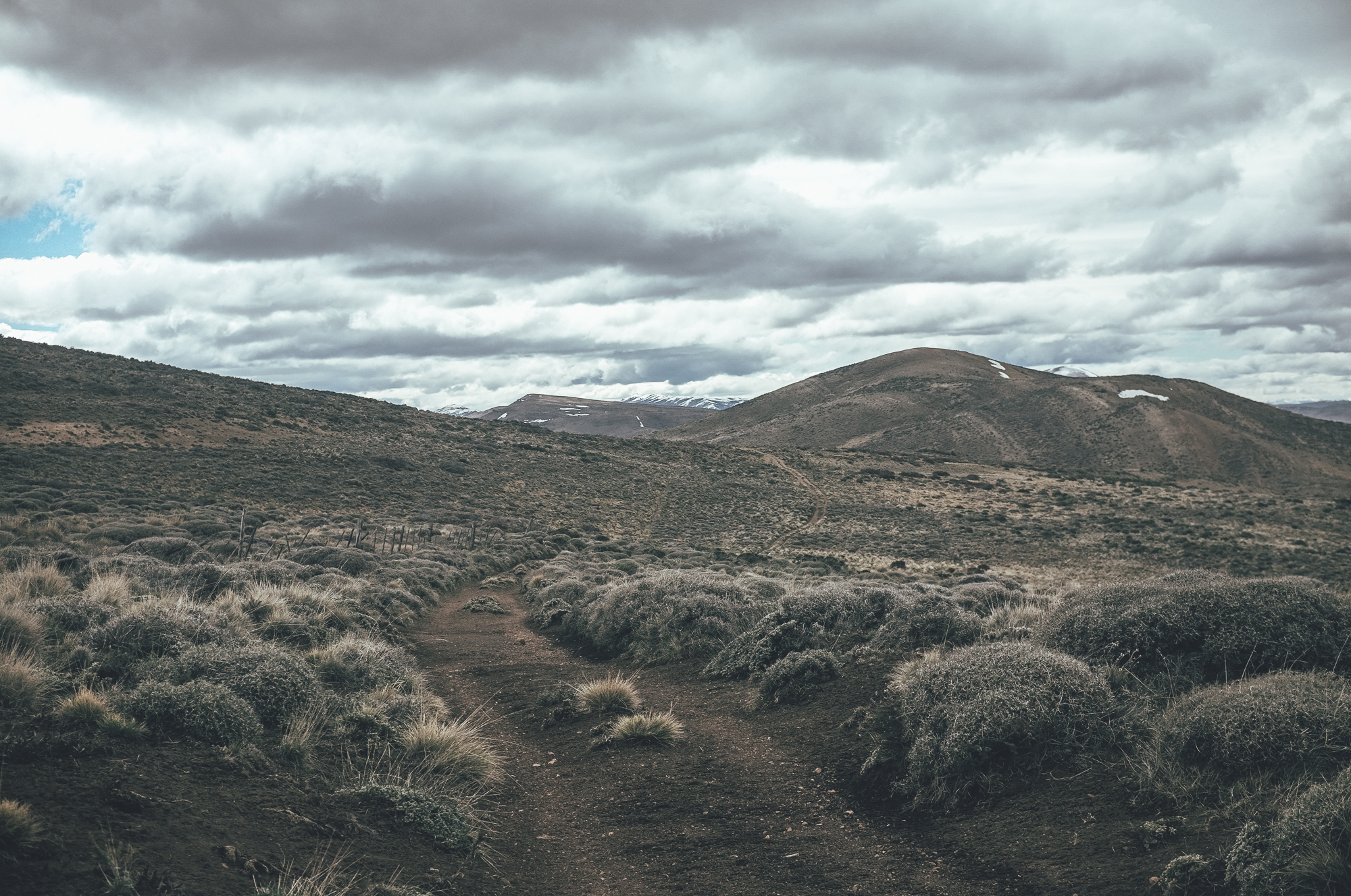
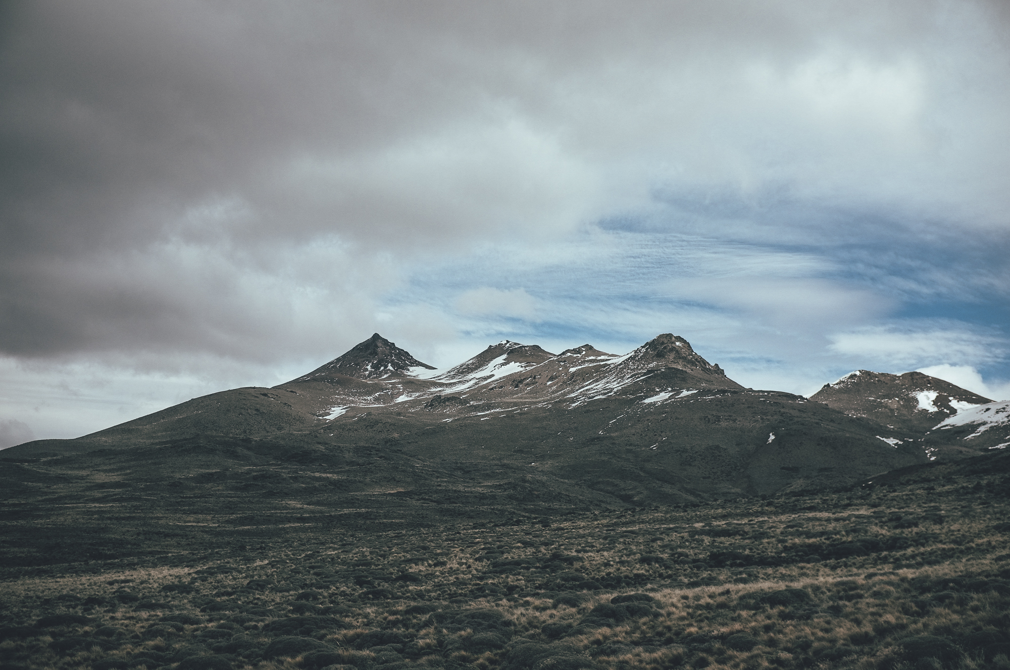
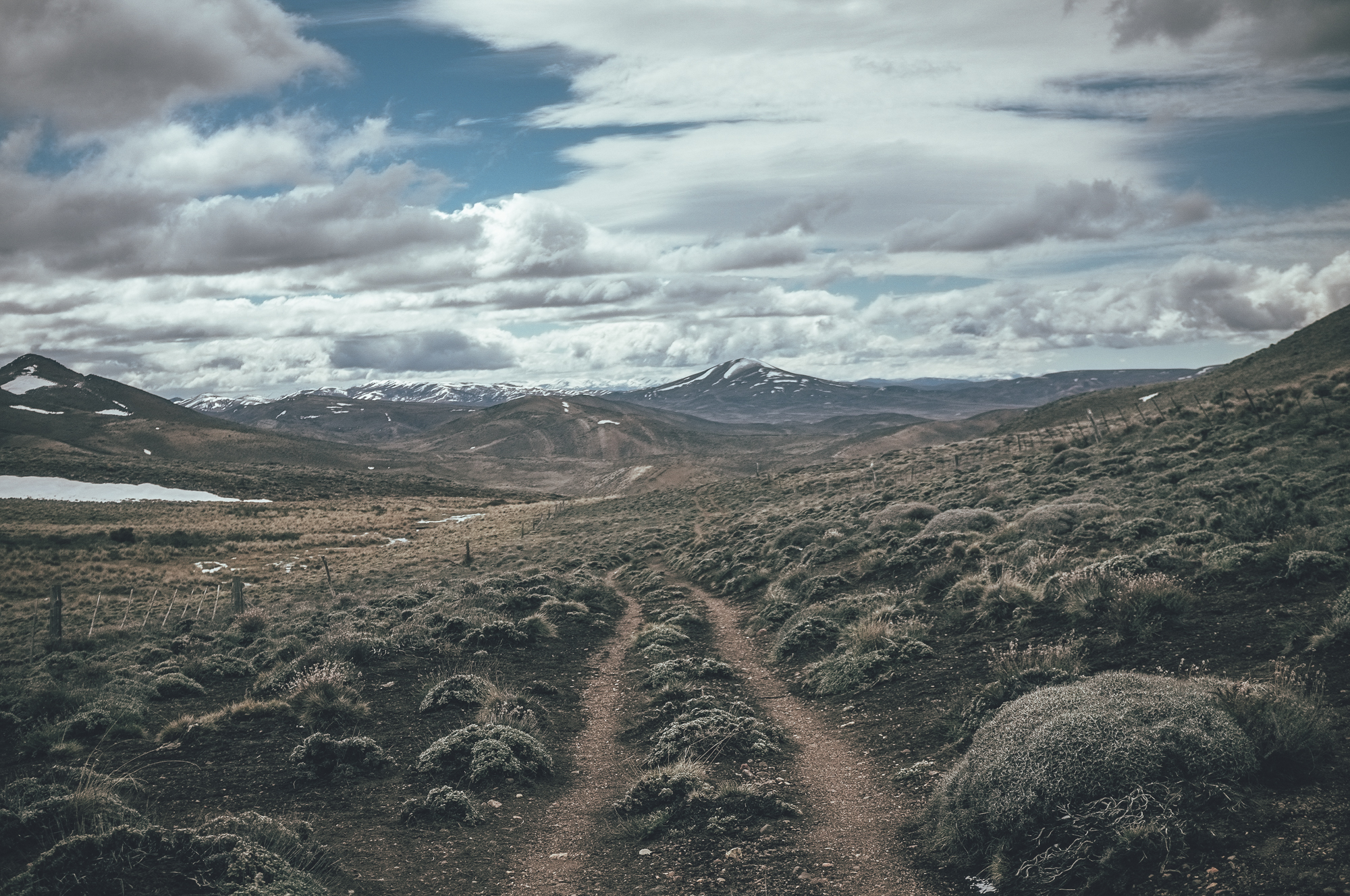
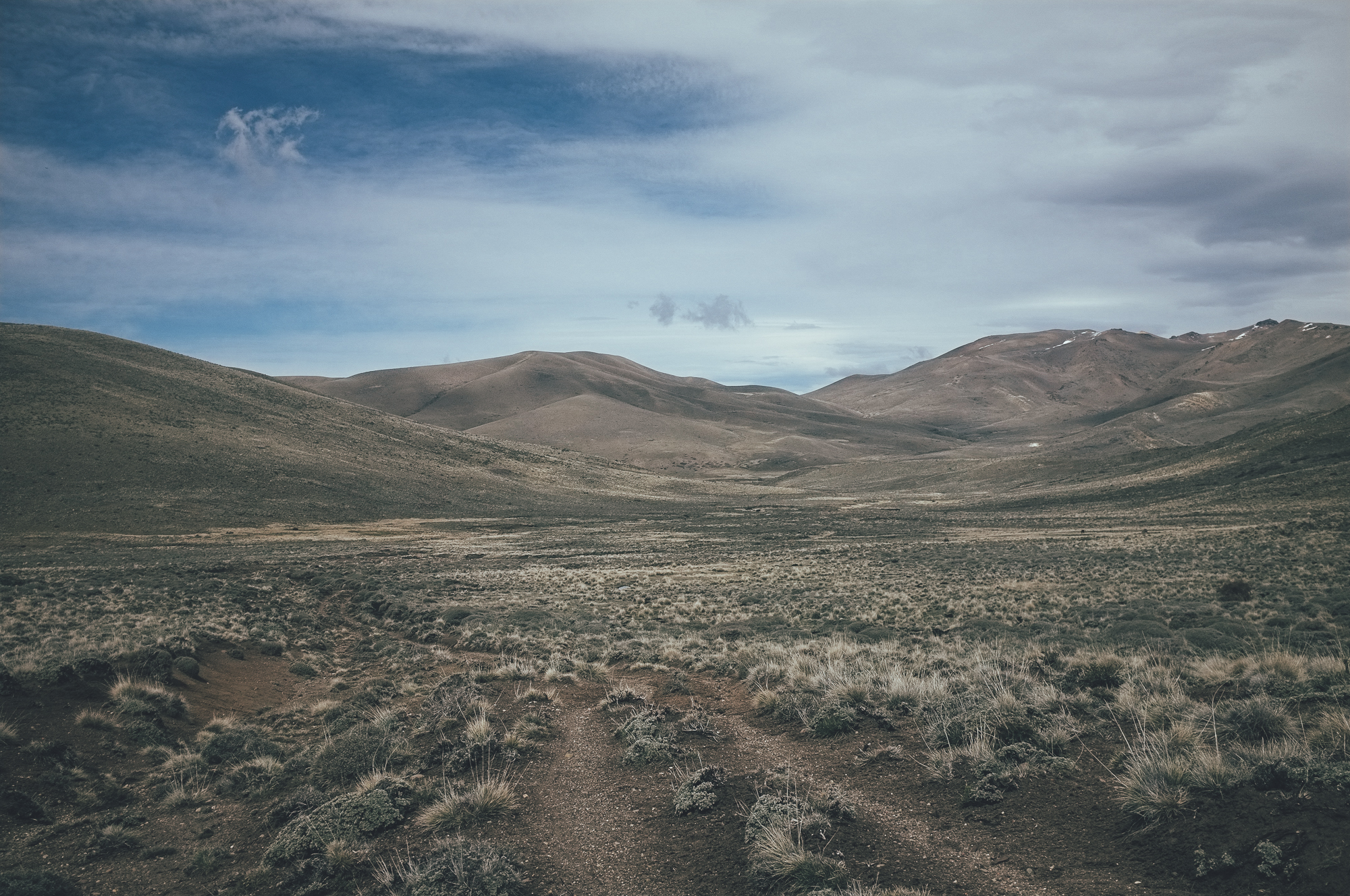
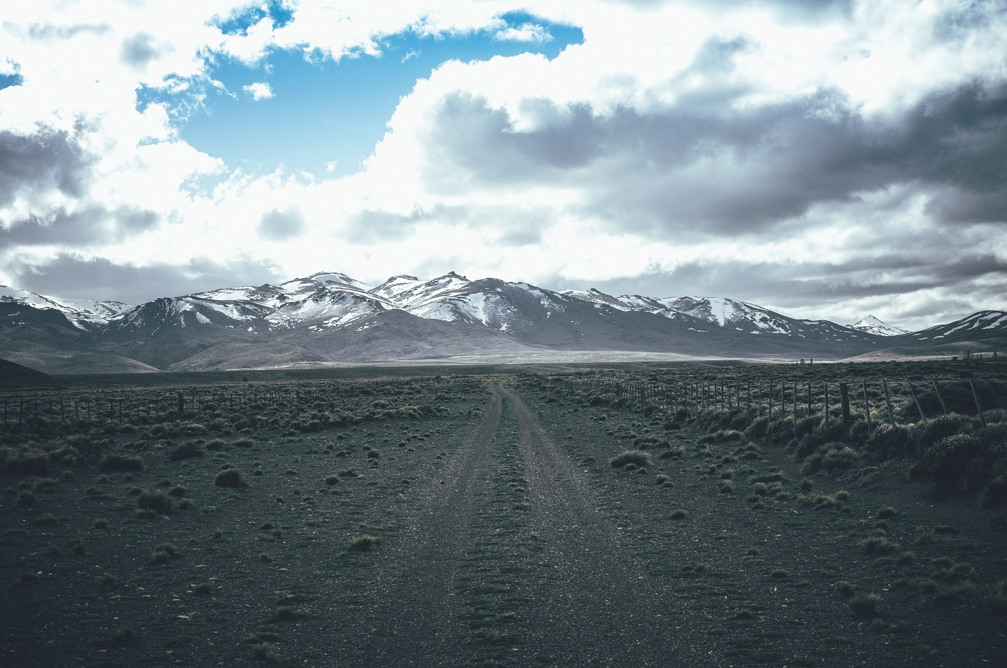
But it’s not just malt-based refreshments that make this part of central Patagonia worth of a visit; this is a region that promises interesting, varied riding across both remote, arid steppe, as well as in the green Cordillera. If you have just a week to experience the visit Patagonia and you like the taste of a little adventure – malts, yeast and hops included – this might be your ride.
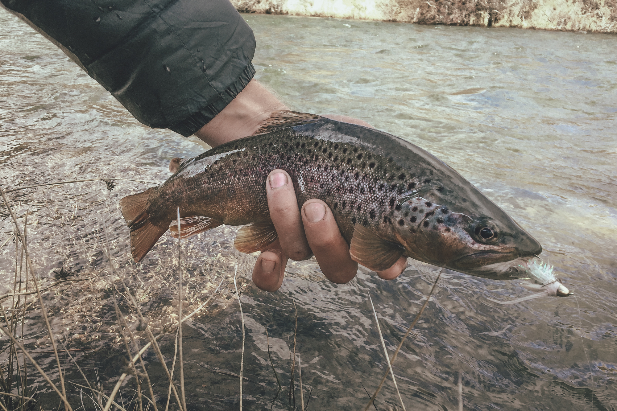
If you are not planning to ride the route as a part of a longer South American trip, Bariloche is easily accessible by plane. Bariloche is roughly in the halfway of the route and a two-hour bus takes you and your rig either to El Bolsón or San Martin de los Andes with ease. Note that the route is rideable only when the two 1480m passes in the steppe and Paso del Córdoba (1310m) are free of snow, which is usually from early October to May. The route can be ridden in both directions, but the prevailing northwest winds on the steppe might make the route a little easier to ride from north to south. However, consider soft riding surfaces, which turns the passes on the steppe into hike-a-bikes, to be the hardest part of the route, especially right after the winter. The route crosses a couple of fantastic trout streams well, so anglers might want to factor in a couple of extra days.
Find the detailed, day by day route description, running south to north, under the ‘Trail Notes’ tab below.
Difficulty: The route involves easy non-technical riding, for the most part. But bear in mind that the soft climbs/hike-a-bikes to the two passes on the steppe and the partly steep climb to the Paso del Górdoba are fairly physically demanding.


Submit Route Alert
As the leading creator and publisher of bikepacking routes, BIKEPACKING.com endeavors to maintain, improve, and advocate for our growing network of bikepacking routes all over the world. As such, our editorial team, route creators, and Route Stewards serve as mediators for route improvements and opportunities for connectivity, conservation, and community growth around these routes. To facilitate these efforts, we rely on our Bikepacking Collective and the greater bikepacking community to call attention to critical issues and opportunities that are discovered while riding these routes. If you have a vital issue or opportunity regarding this route that pertains to one of the subjects below, please let us know:
Highlights
Must Know
Camping
Food/H2O
Trail Notes
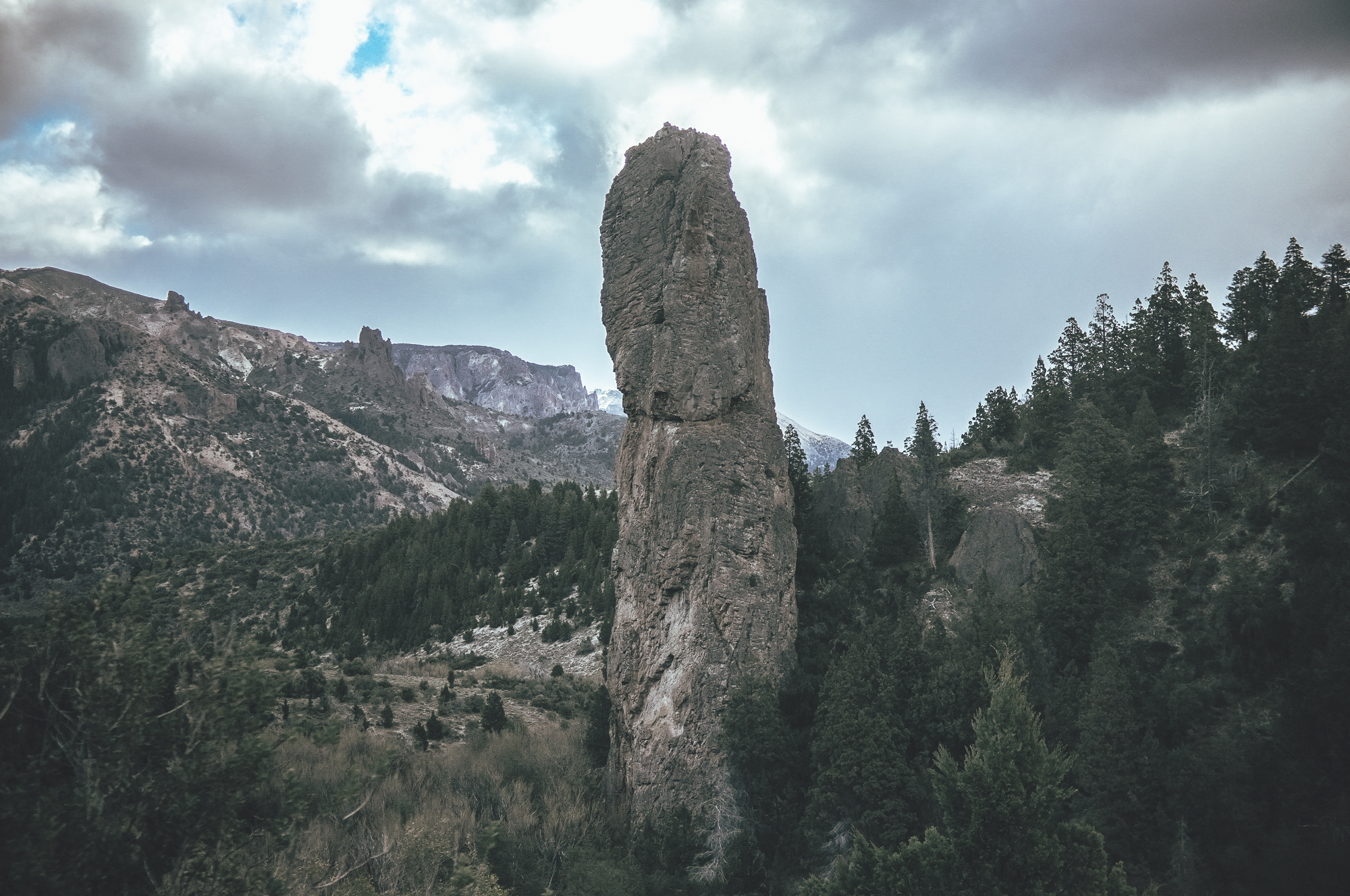
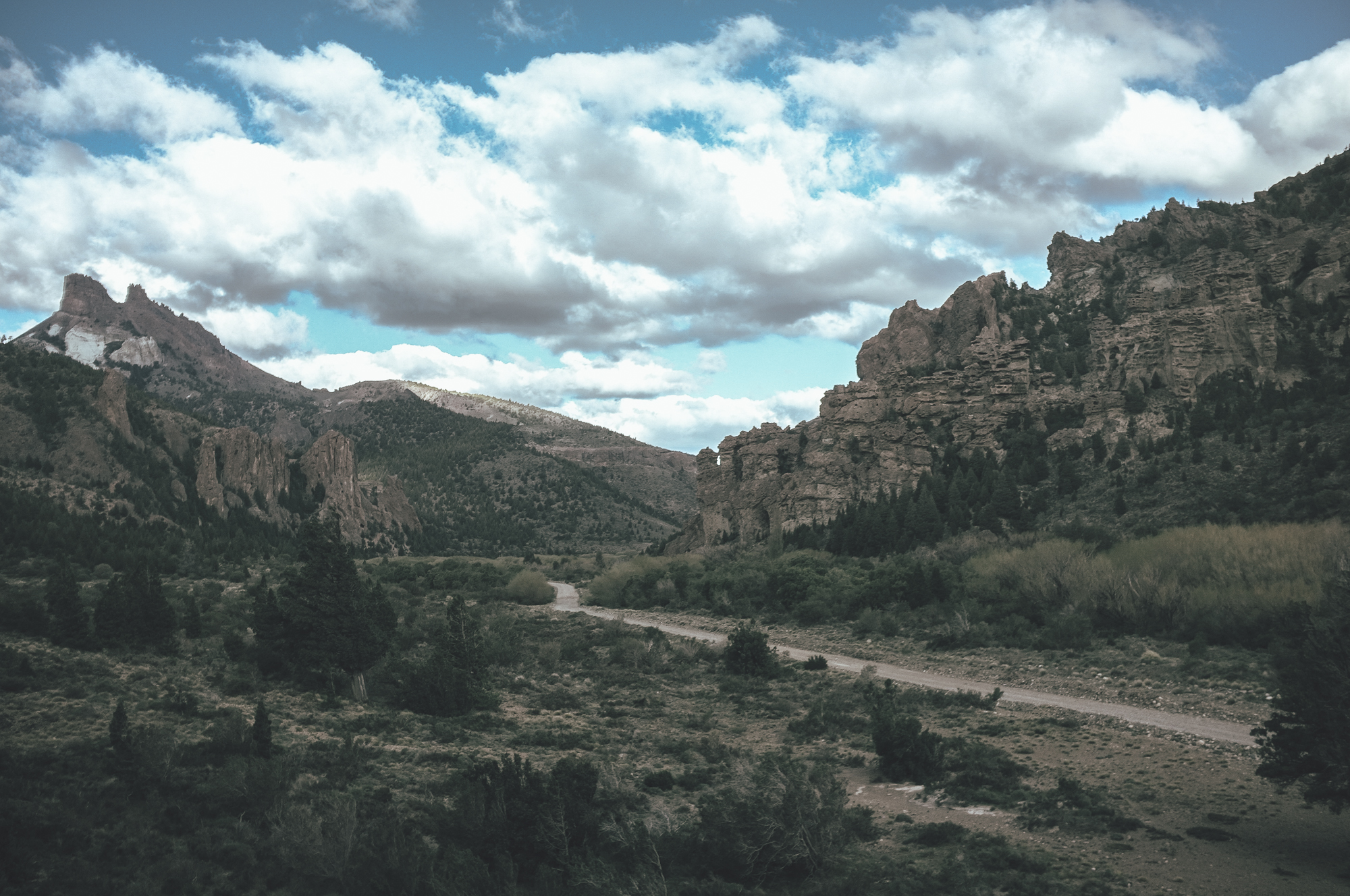
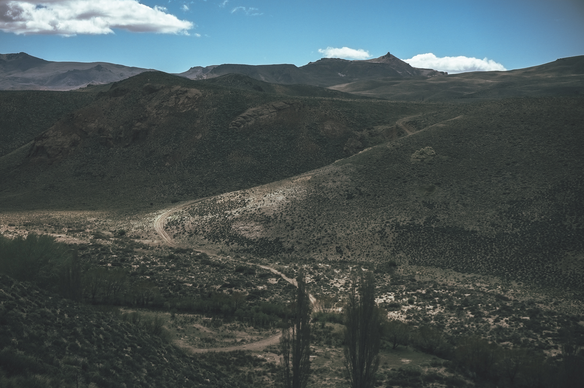
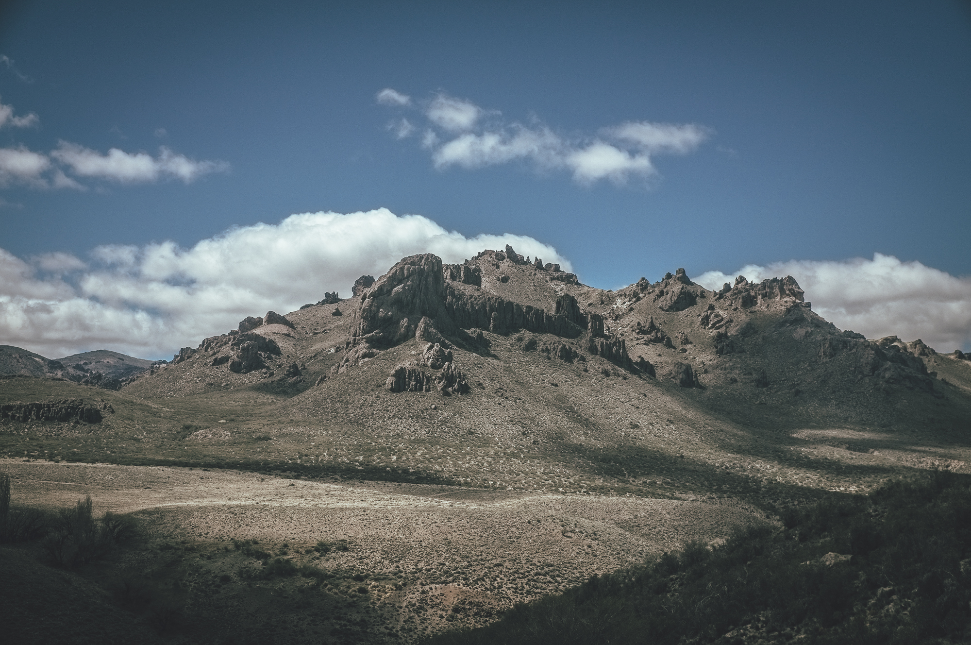
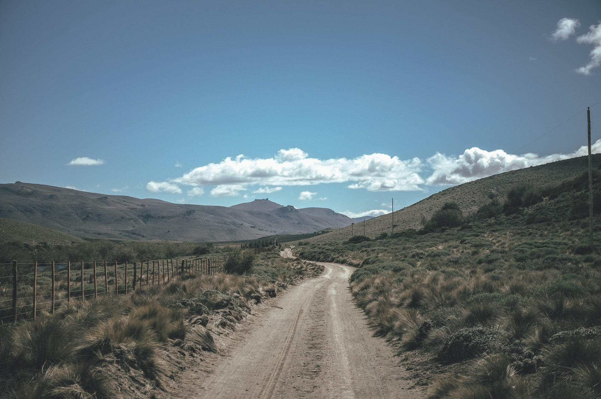
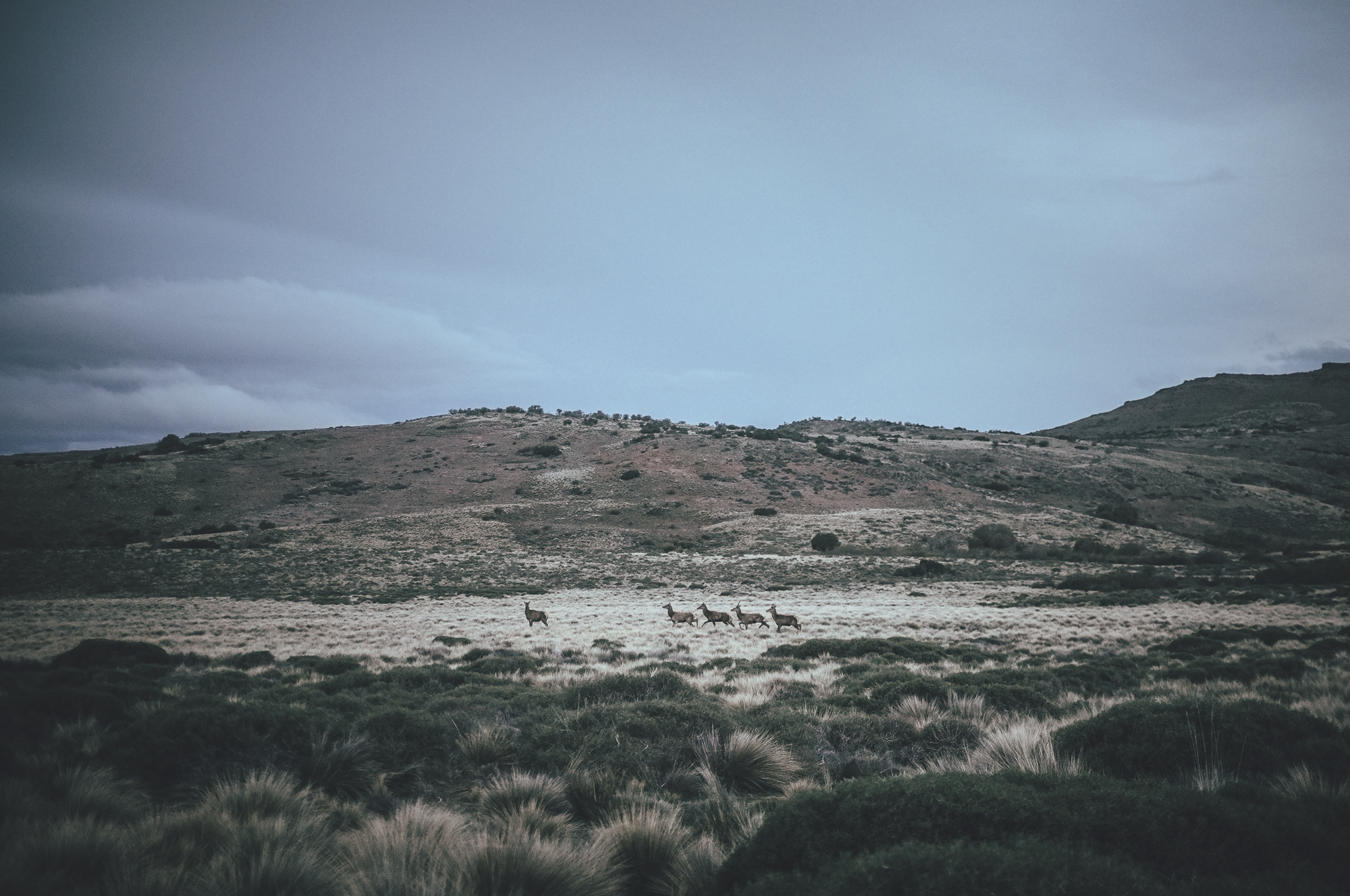
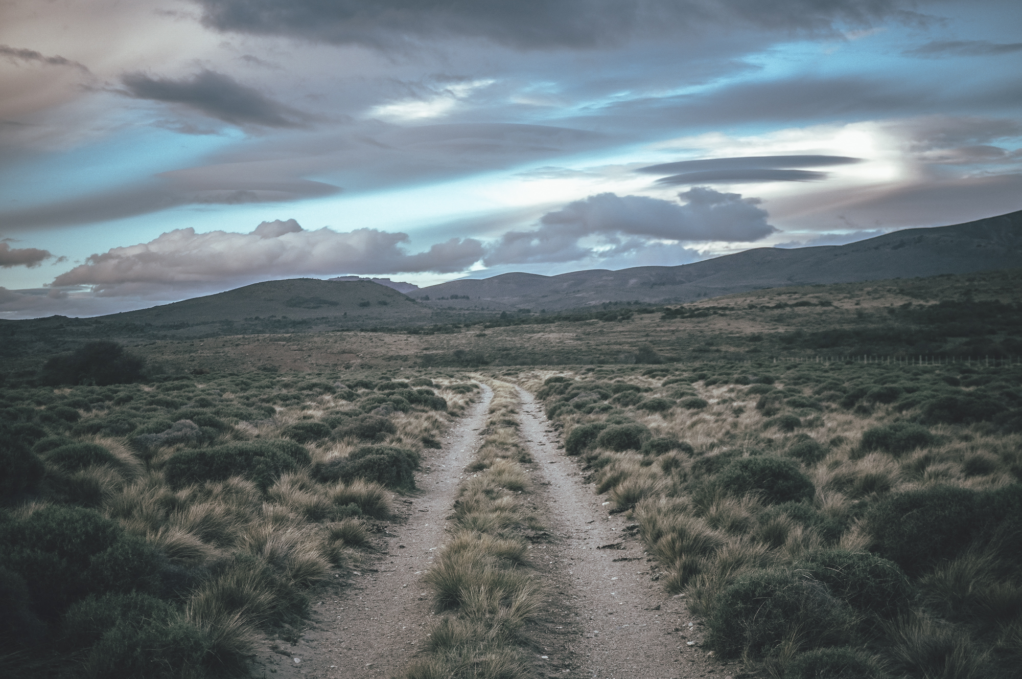
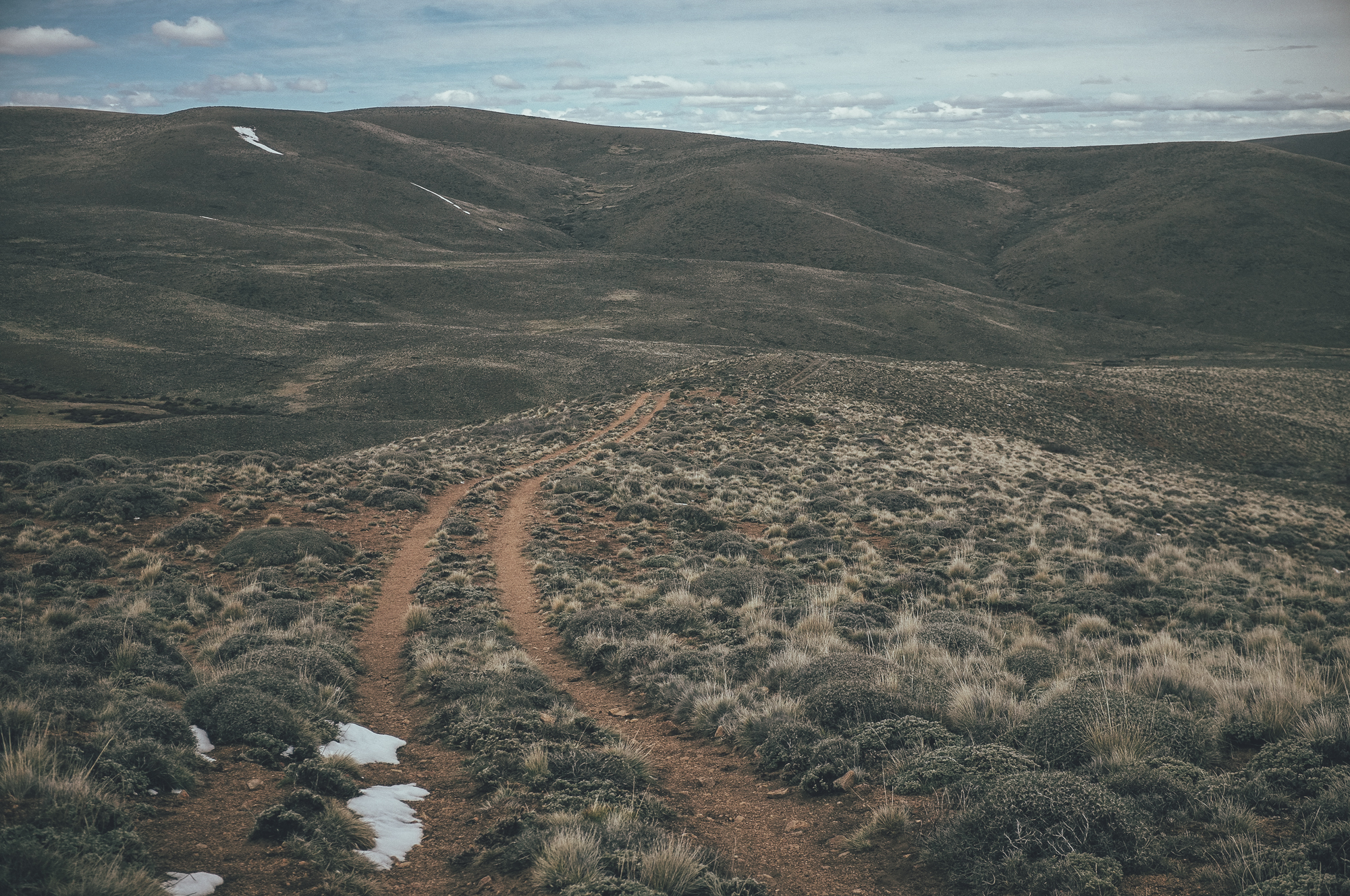
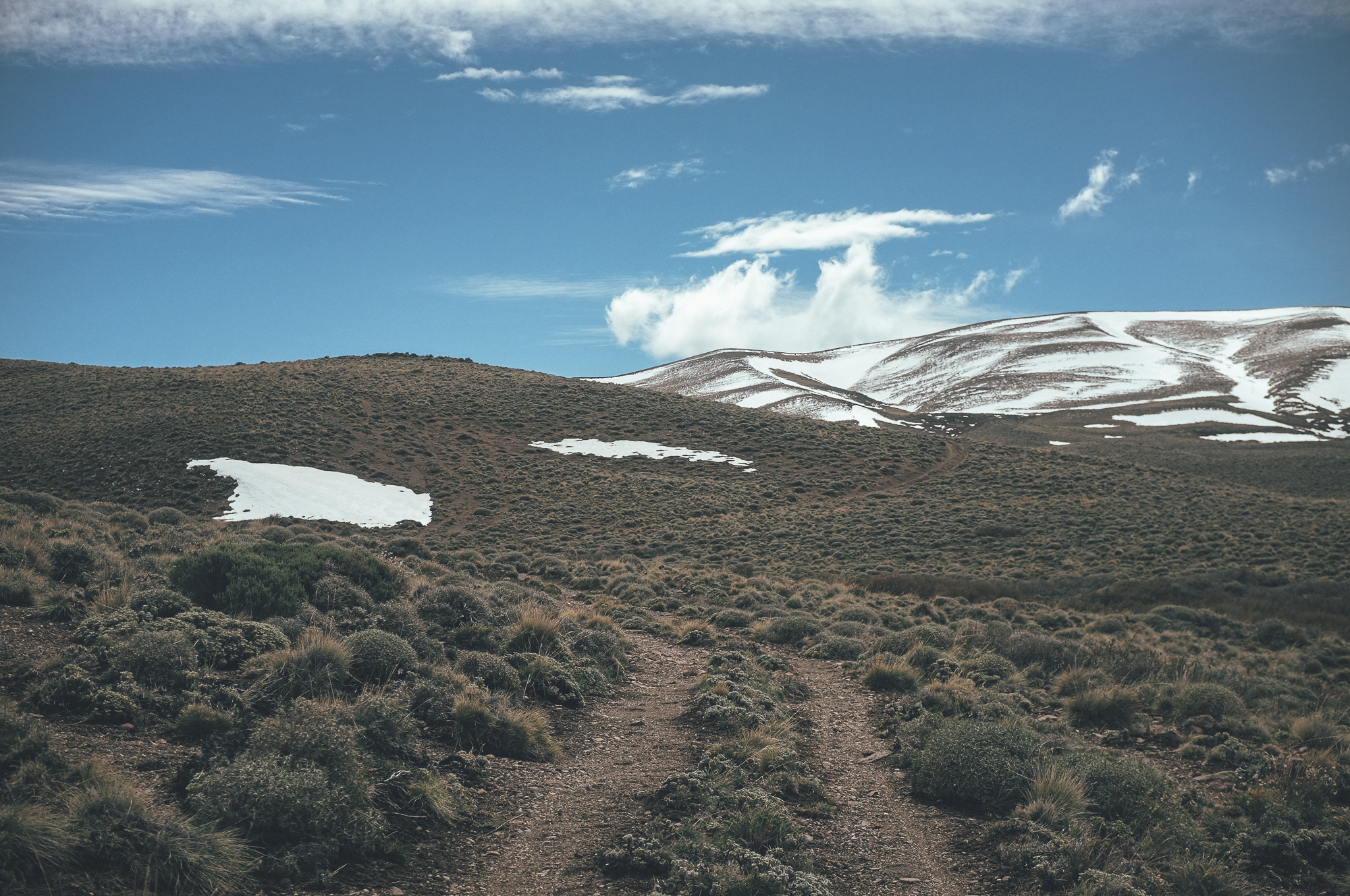
- Riding across empty, desert-like Argentine steppe.
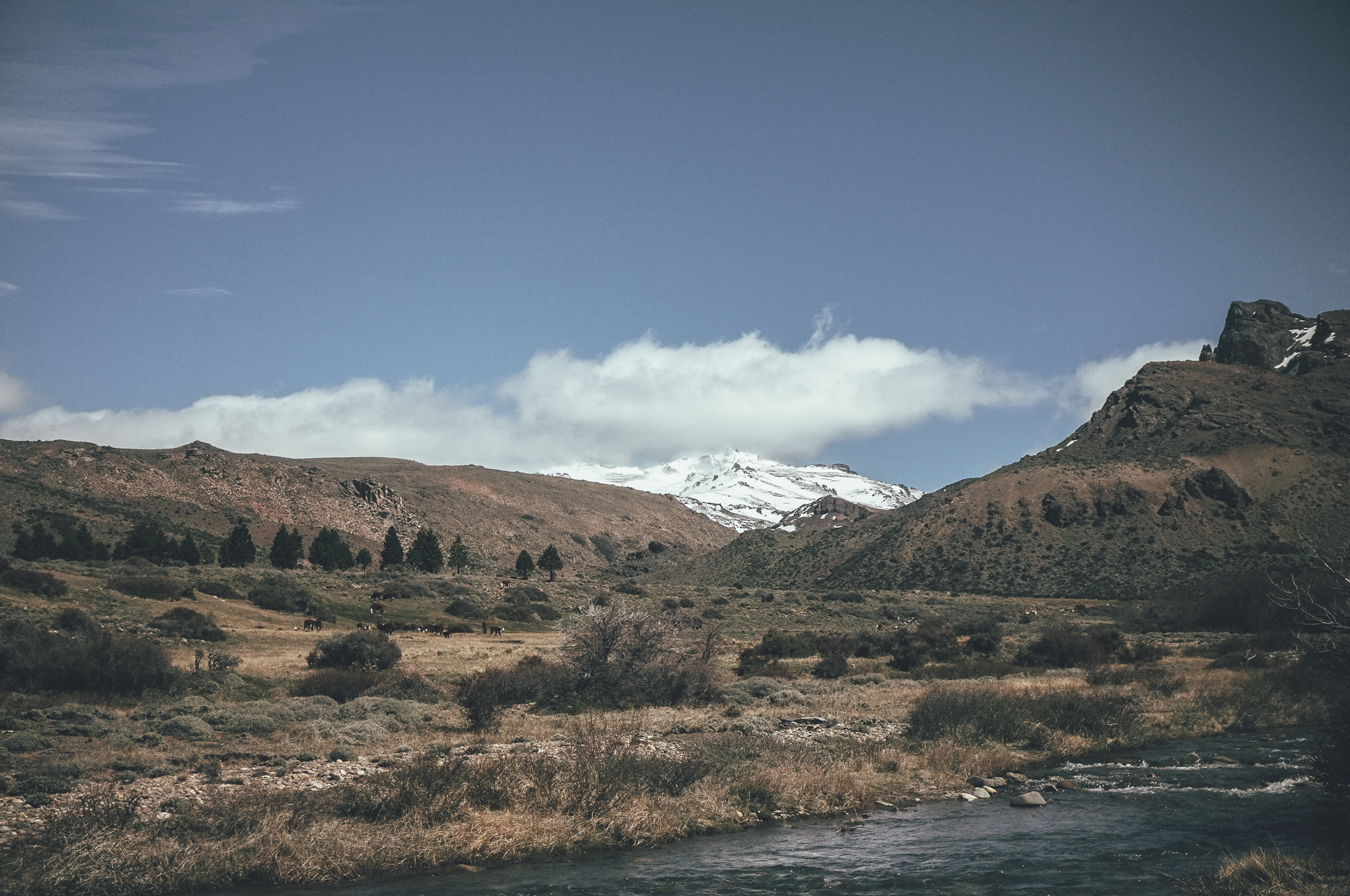
- Camping by crystal clear trout streams in the green Cordillera.
- Enjoying liquid refreshment… there are twenty breweries with more than a hundred different beers at either end of the route, as well as in nearby Bariloche.
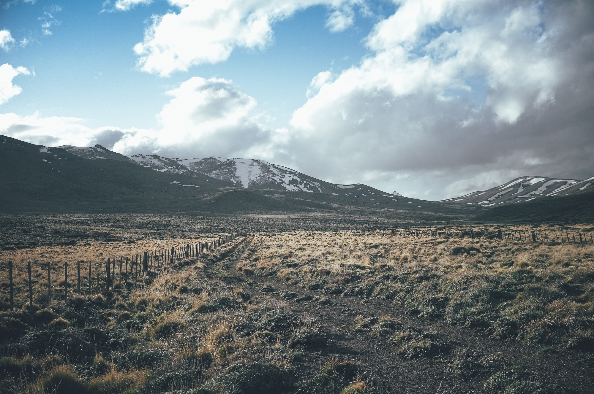
- The route is rideable only when the two 1480m passes in the steppe and the Paso del Córdoba (1310m) are free of snow, usually around from early October to May. Contact tourist information of Bariloche about the snow situation of the Paso Cordoba, before flying in if planning to ride the route early or late in the season.
- The route can be ridden from both directions, but the prevailing northwest winds on the steppe might make the route a little easier to ride from north to south.
- Prevailing northwest winds can make progress slow on the steppe, when riding south to north.
- After rain and early in the season the route is partly soft.
- Two river crossings (Rio Chico and Arroyo Pichileufú) at the steppe could be difficult to cross after heavy rain. Cars and trucks are likely to be able to cross after rain and give you a lift across, though traffic is rare.
- The route has the best flow if ridden without the stop in Bariloche in the middle. Traffic makes entering and exiting Bariloche unpleasant, though taking a back route in and out of town could be possible.
- There is no phone signal outside the few villages in the region.
- The route can be ridden with normal 2.3-2.4 inch mountain bike tires, but due to some soft sections a plus tired setup is recommended.
- Bariloche Airport has multiple flights a day to and from Buenos Aires.
- There is a bus connection multiple times a day from Bariloche to El Bolson (2h 20min) and San Martin de los Andes (3h 40min).
- Patagonia is expensive. Expect similar prices as in US or Northern Europe.
- ‘Blue market’ exchange rate in Argentina is history since 2016. Changing and withdrawing money is straightforward and cheap as money changers use an exchange rate very close to the official one.
- Bariloche has a decent bike shops, which stocks some basic components. Finding any spare parts from El Bolson or San Martin de los Andes could be difficult.
- Local fishing restriction apply; barbless hooks and catch & release recommended, like always.
- Whilst permitted, a part of the route that crosses the steppe is technically on private land, so be especially respectful, leave no trace, and ask permission to cross if anyone is around.
- The best wild camping spots are marked on the map, all the campsites have a high quality water source.
- No convenient wild camping available in El Maitén, Camping Municipal Balneario is the most affordable sleeping option in the village.
- On the steppe, the two marked campsites have very little wind protection.
- There are plenty of sleeping options available in El Bolson, Bariloche and San Martin de los Andes from very basic to high end. Prices for a dormitory bed start from around 20USD, room prices from around double that.
- All the campsites marked on map have a high quality water source. Water treatment might not be necessary, but maybe better to be safe than sorry.
- Longest stretch without a water source is 40km from Ñorquinco to the river camp between the two 1480m passes.
- There are multiple places to restock food on the way, longest distance between restocks 120km/2.5 riding days from Ñorquinco to Dina Huapi.
- There are basic supermarkets in El Maitén, Ñorquinco, Dina Huapi, Villa Llanquin and Villa Lago Meliquina.
When riding from El Bolsón to San Martin de Los Andes:
Day 1 –55km, 622m of climbing
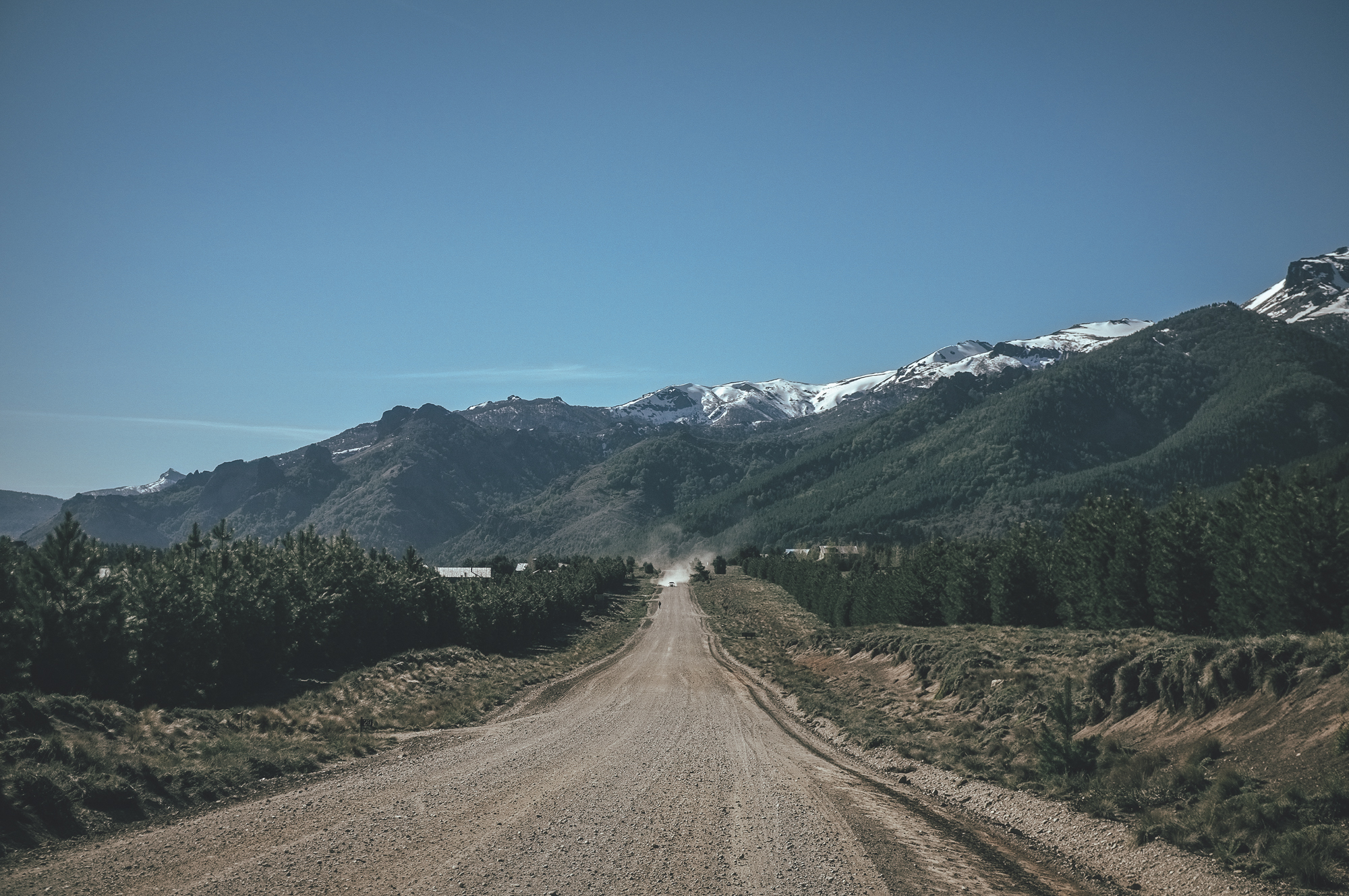
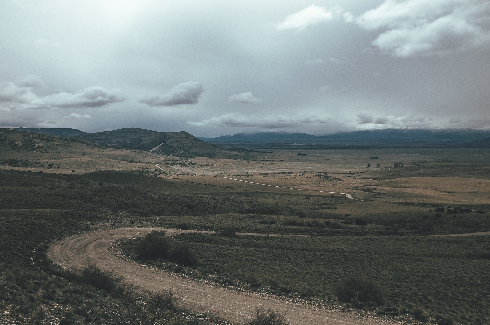
The route starts from El Bolson on the east side of Rio Quemquemtreu on peaceful gravel back road until it joins the busy Ruta 40 for a short section. Climb out from the valley toward the steppe is easy, but occasionally steep. The green Cordillera quickly turns into more arid and desert-like when the village of El Maitén gets closer. The road can be occasionally rough and soft. Traffic is nearly non-existent. The possible tailwind and gentle downhill make you reach El Maitén earlier what you thought.
Day 2 – 74km, 970m of climbing
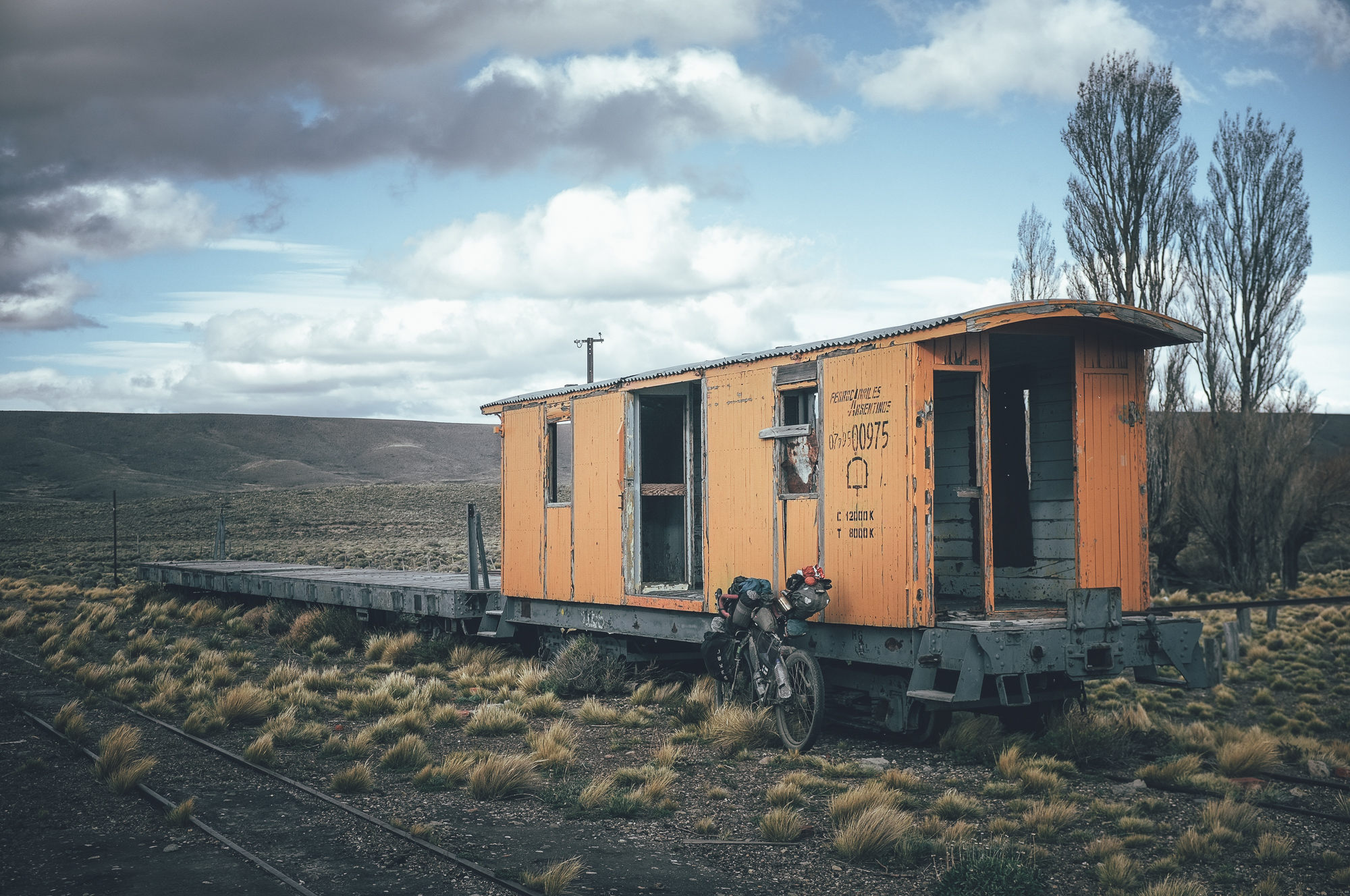
From El Maiténnorth the road is hard packed gravel and if the headwind is not trying to push you back to the village you slept in, progress will be fast. An old English railway station offers good wind protection for a snack break 14km from the main road. Soft double track takes you to the first of the two 1480m passes, from where you decent to a small river with a strong trout population. The river is not deep and wading across is easy, but water is ice cold. Early and late in the season, nighttime temperatures drop easily below zero and snowfall is possible. With the right wind direction, this valley can also have the strongest winds on the whole route. Thorny bushes offer a little wind protection to camp, though.
Day 3 – 41km, 727m of climbing
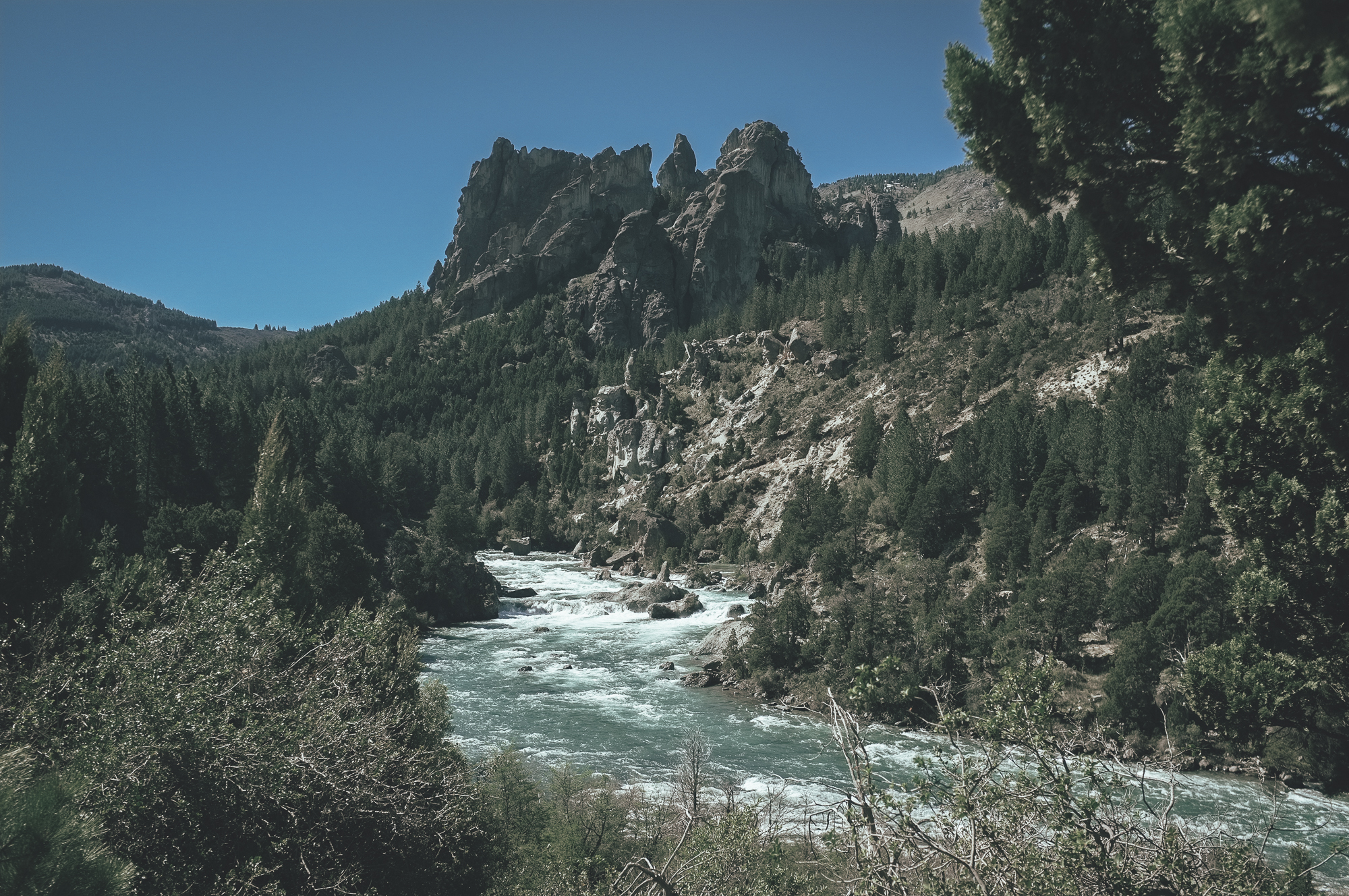
The route to the second 1480m pass is likely to be soft and the climb is likely to be non-technical hike-a-bike. The way down from the pass on soft double track is great fun and views to Cordillera right next to you beautiful. Soon the route joins a more used road again and progress gets faster. The first river crossing is easy, but the second one across Rio Chico narrow and deep. Third river crossing across the Arroyo Pichileufu is wide and shallow, but could similarly be hard to cross after heavy rain. Great camping and fantastic fishing at Rio Arroyo.
Day 4 – 49km, 260m of climbing
Open sceneries and hard packed gravel road take you toward the Airport of Bariloche. Lift your bike over a solid wooden gate to enter a beautiful backdoor route to Dina Huapi along Rio Ñirihuao. Restock in one of the markets of Dina Huapi after negotiating another solid gate, before starting the scenic route along the Rio Limay. The gates on the way could be locked, but there is always an unlocked side gate to the side for walkers and cyclist to get through. The campsite on the bank of Rio Limay is simply fantastic. The water is like turquoise glass and trout big.
Day 5 – 77km, 1360m of climbing
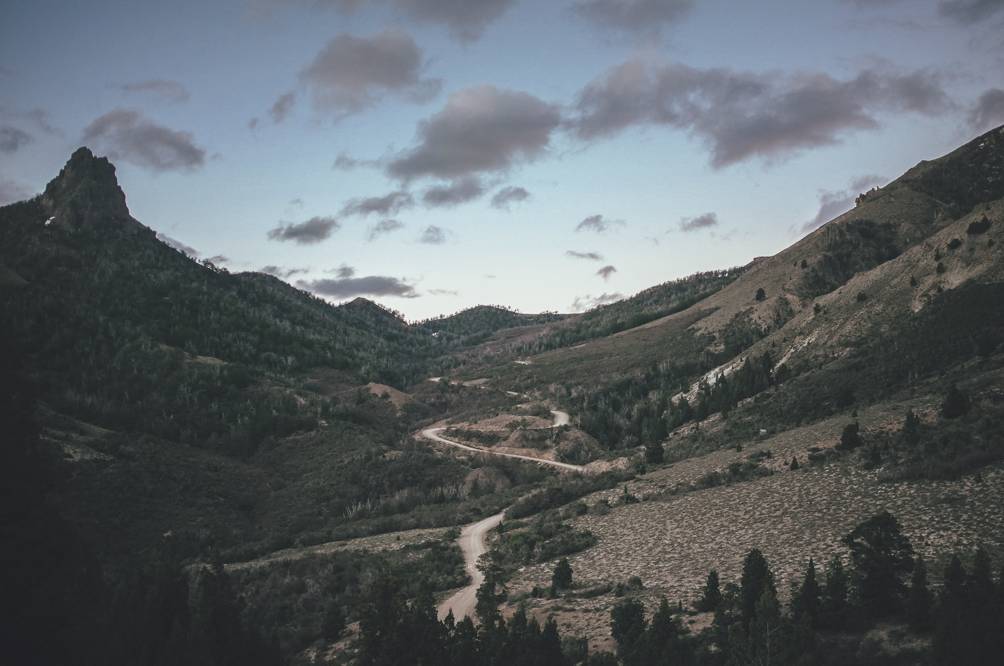
The route goes up and down on the river bank and on the side of the valley till Villa Llanquin, where a 27km section of paved busy road begins. Simple marcados offer restock in the village. A rough and partly soft gravel road enters the Parque Nacional de Lanín on the climb toward the Paso de Cordoba at 1310m. Only a few tourists enter the National park from the south, so traffic is few. The camp spot at Rio Caleufu, might not be as spectacular than the ones earlier on the route, but the valley and the river are beautiful and the trout again numerous.
Day 6 – 55km, 743m of climbing
Toward Villa Lago Meliquina the number of tourists increases exponentially. The only brewery located outside the three main towns is located before the village and deserves a visit, before the gravel road on the side of the Lago Meliquina takes you to the Ruta 40 again. A gentle easy climb to a 1170m pass, before a long downhill to San Martin de los Andes partly on Ruta 40 and partly on a gravel road taking a backdoor to the town.
Riding South to North:
If riding north to south, expect long days on the bike on the following two sections: From El Maiten to the camp between the two 1480m passes (74km, 970 vertical meters of climbing), day 2 if riding south to north. From the camp at Rio Limay to the camp at Rio Caleufu (77km, 1360 vertical meters of climbing), day 5 when riding south to north.


Terms of Use: As with each bikepacking route guide published on BIKEPACKING.com, should you choose to cycle this route, do so at your own risk. Prior to setting out check current local weather, conditions, and land/road closures. While riding, obey all public and private land use restrictions and rules, carry proper safety and navigational equipment, and of course, follow the #leavenotrace guidelines. The information found herein is simply a planning resource to be used as a point of inspiration in conjunction with your own due-diligence. In spite of the fact that this route, associated GPS track (GPX and maps), and all route guidelines were prepared under diligent research by the specified contributor and/or contributors, the accuracy of such and judgement of the author is not guaranteed. BIKEPACKING.com LLC, its partners, associates, and contributors are in no way liable for personal injury, damage to personal property, or any other such situation that might happen to individual riders cycling or following this route.
Please keep the conversation civil, constructive, and inclusive, or your comment will be removed.