


MOCO – Bikepacking Montgomery County
Distance
125 Mi.
(201 KM)Days
2
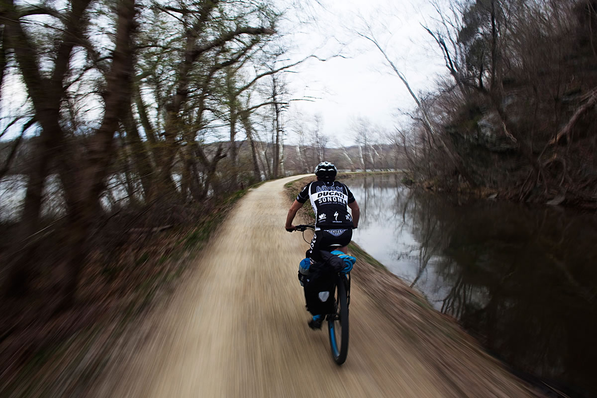
% Unpaved
90%
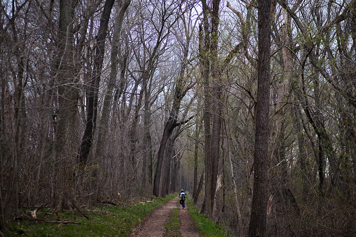
% Singletrack
50%
% Rideable (time)
100%
Total Ascent
6,540'
(1,993 M)High Point
985'
(300 M)Difficulty (1-10)
4?
- 3Climbing Scale Fair52 FT/MI (10 M/KM)
- -Technical Difficulty
- -Physical Demand
- -Resupply & Logistics
Contributed By

Matt and Brett
A View From Two Wheels
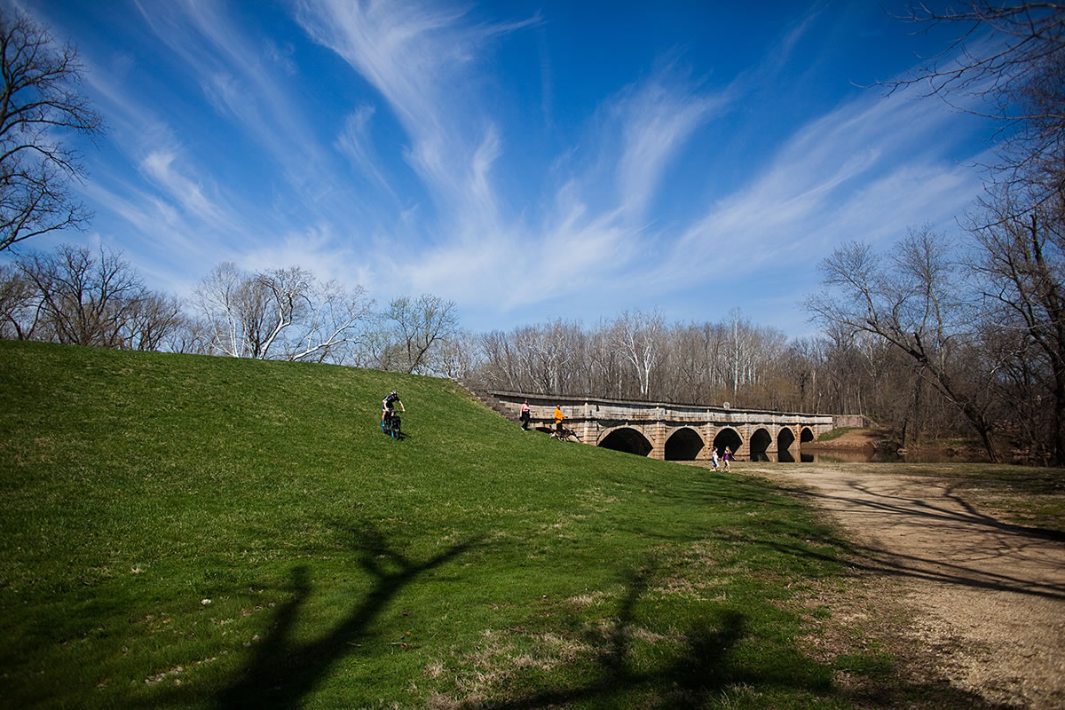
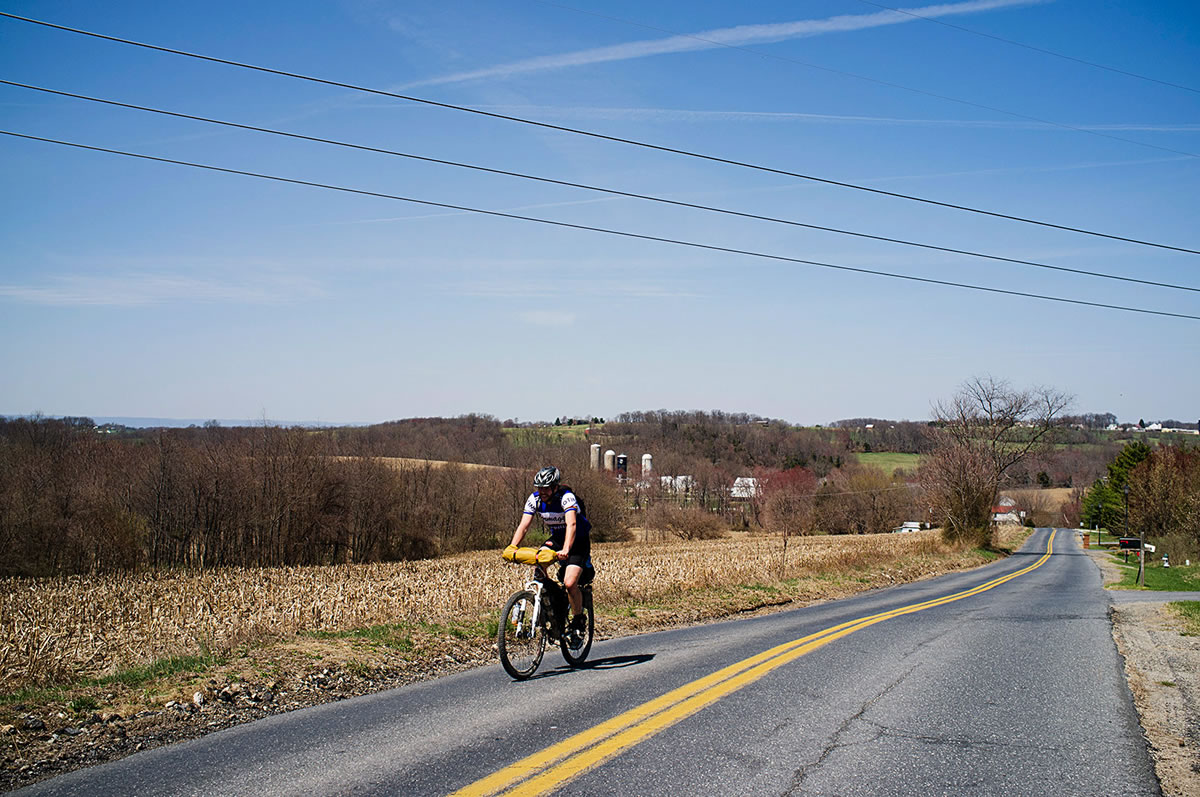
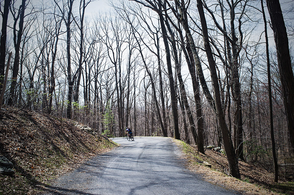
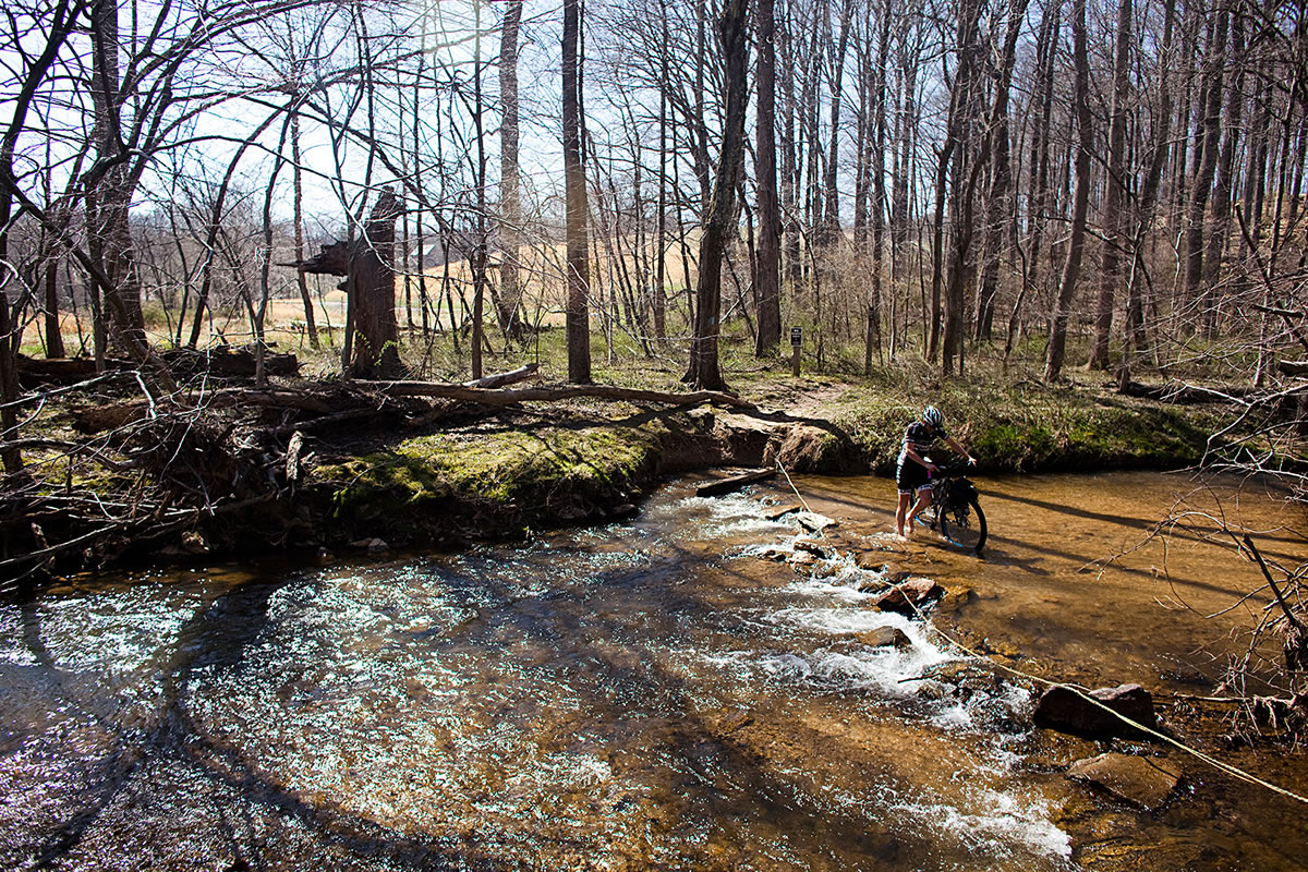
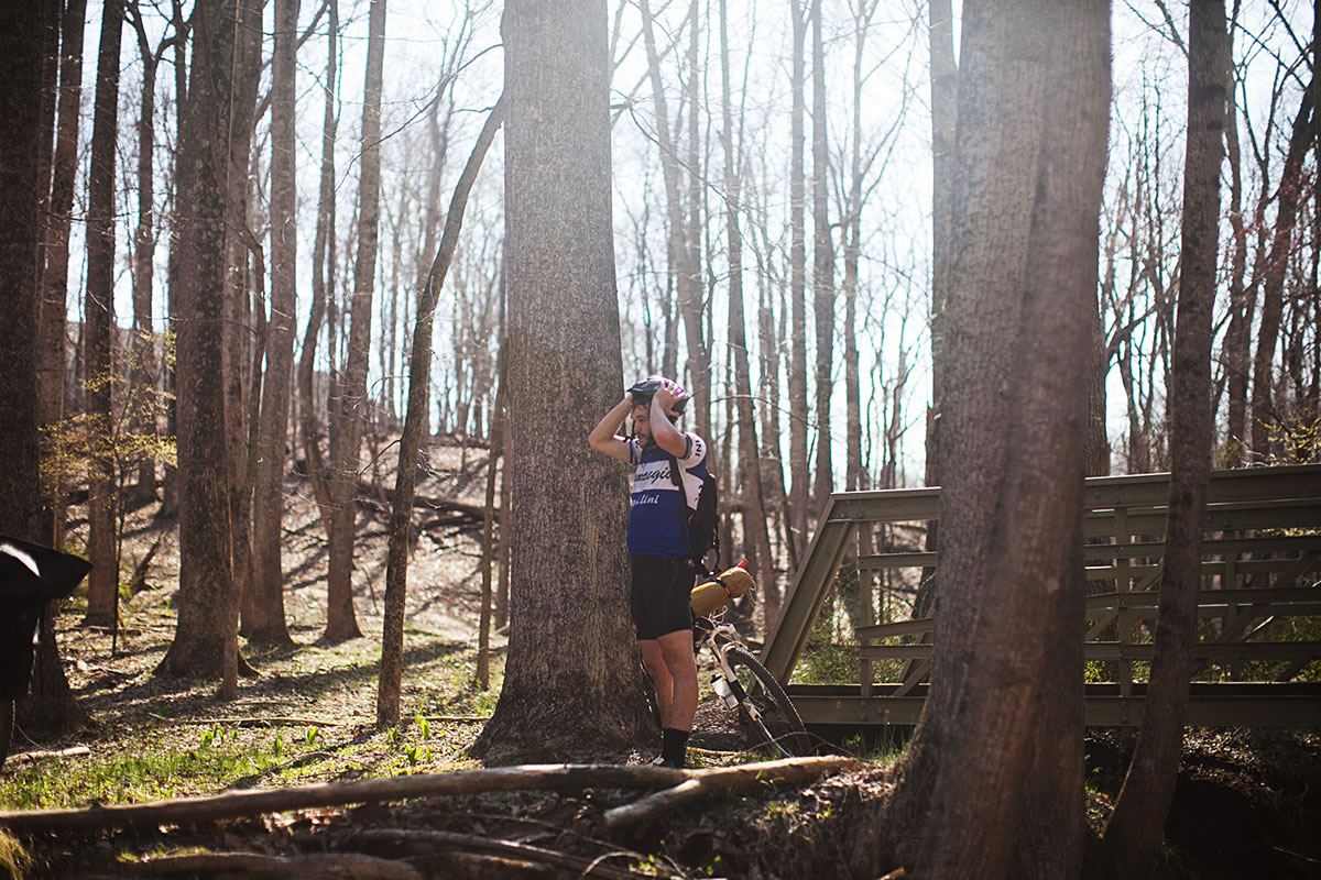
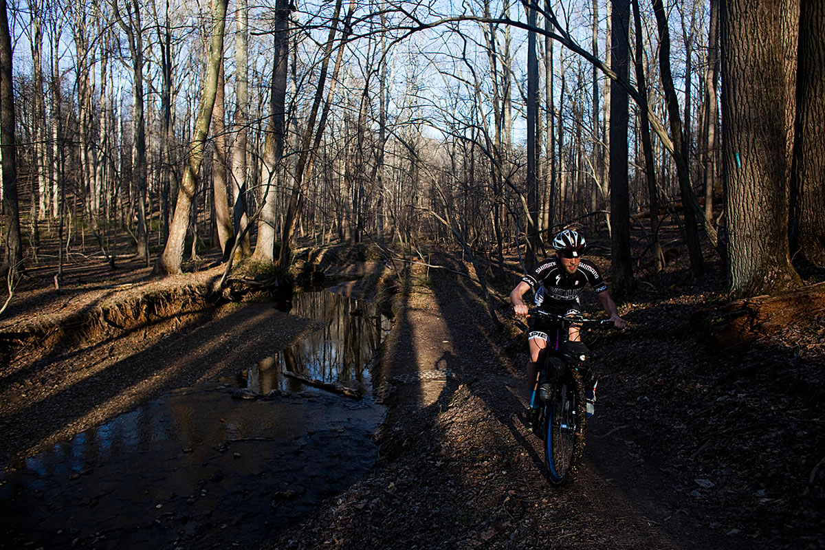
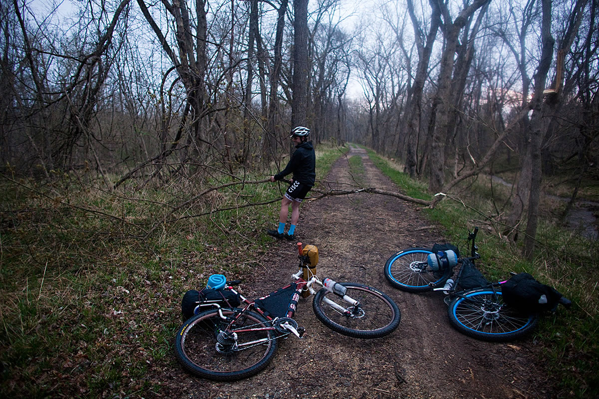
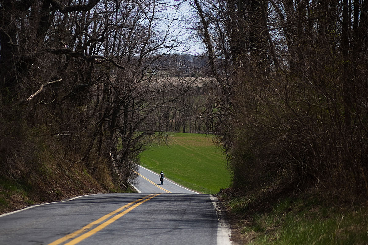
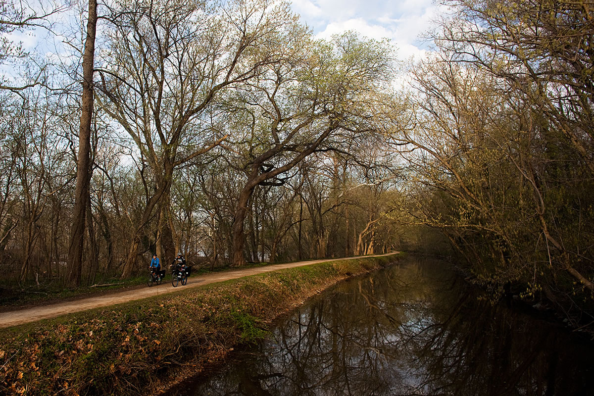
Escape the hustle and bustle of Washington D.C. via the Chesapeake and Ohio Canal (C&O) Towpath and connect MOCO singletrack to make a nice 2 day loop. We did it in a three days but the ride could easily have been done in two. Follow thenC&O from Georgetown and head out towards Darnestown. Then take a quick jaunt on country roads and jump onto the MOCO Epic single track that winds through various state parks and shoots right back onto the the C&O Canal.


Submit Route Alert
As the leading creator and publisher of bikepacking routes, BIKEPACKING.com endeavors to maintain, improve, and advocate for our growing network of bikepacking routes all over the world. As such, our editorial team, route creators, and Route Stewards serve as mediators for route improvements and opportunities for connectivity, conservation, and community growth around these routes. To facilitate these efforts, we rely on our Bikepacking Collective and the greater bikepacking community to call attention to critical issues and opportunities that are discovered while riding these routes. If you have a vital issue or opportunity regarding this route that pertains to one of the subjects below, please let us know:
Highlights
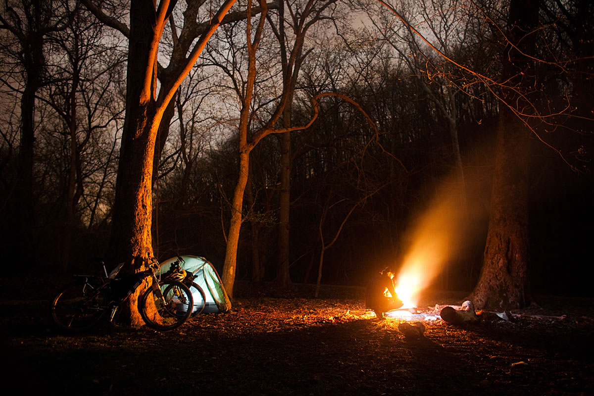
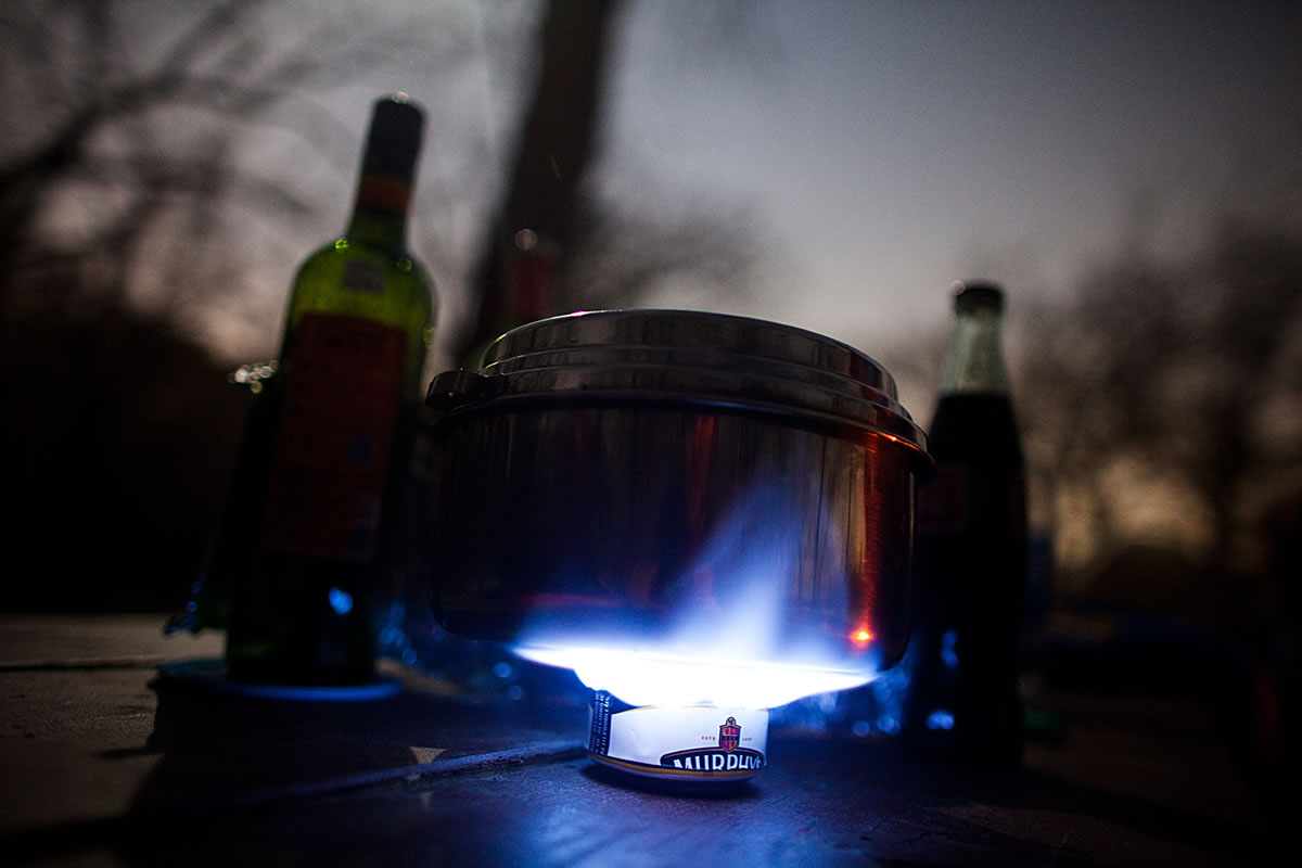
Camping
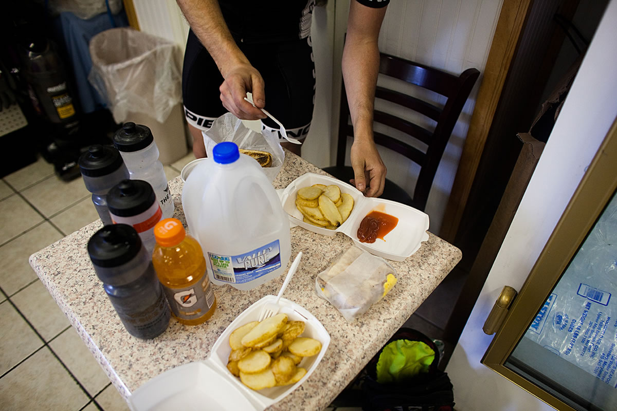
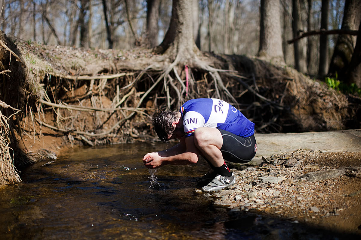
Food/H2O
- A nice view at Great Falls.
- Breakfast at Dickerson Market.
- Great singletrack through Copper Lake.
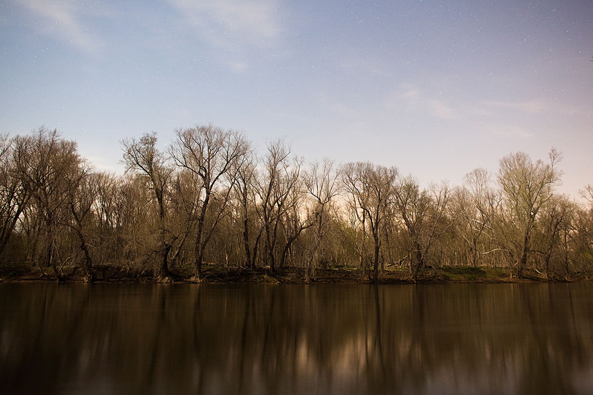
- Free primitive camping is available on the C&O beginning at Swains Lock (Mile 20) and every few miles after.
- Camping at Little Bennett Regional Park.
- Water is shut off on the C&O from Mid-November to Mid-April.
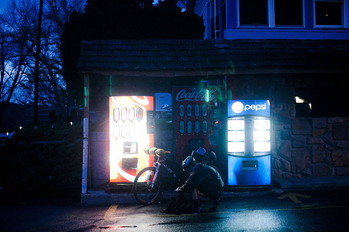
- Whites Ferry has a small convenience store.
- Dickerson Market has great Breakfast sandwiches.
- Other small store/gas stations available throughout route.


Terms of Use: As with each bikepacking route guide published on BIKEPACKING.com, should you choose to cycle this route, do so at your own risk. Prior to setting out check current local weather, conditions, and land/road closures. While riding, obey all public and private land use restrictions and rules, carry proper safety and navigational equipment, and of course, follow the #leavenotrace guidelines. The information found herein is simply a planning resource to be used as a point of inspiration in conjunction with your own due-diligence. In spite of the fact that this route, associated GPS track (GPX and maps), and all route guidelines were prepared under diligent research by the specified contributor and/or contributors, the accuracy of such and judgement of the author is not guaranteed. BIKEPACKING.com LLC, its partners, associates, and contributors are in no way liable for personal injury, damage to personal property, or any other such situation that might happen to individual riders cycling or following this route.
Please keep the conversation civil, constructive, and inclusive, or your comment will be removed.