


The Huracan 300 Bikepacking Route
Distance
313 Mi.
(504 KM)Days
4
% Unpaved
75%
% Singletrack
30%
% Rideable (time)
99%
Total Ascent
5,316'
(1,620 M)High Point
285'
(87 M)Difficulty (1-10)
7?
- 1Climbing Scale Easy17 FT/MI (3 M/KM)
- -Technical Difficulty
- -Physical Demand
- -Resupply & Logistics
Contributed By

Logan Watts
Pedaling Nowhere
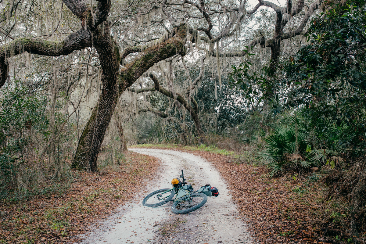
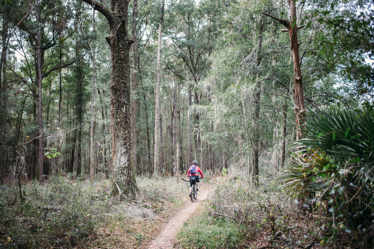
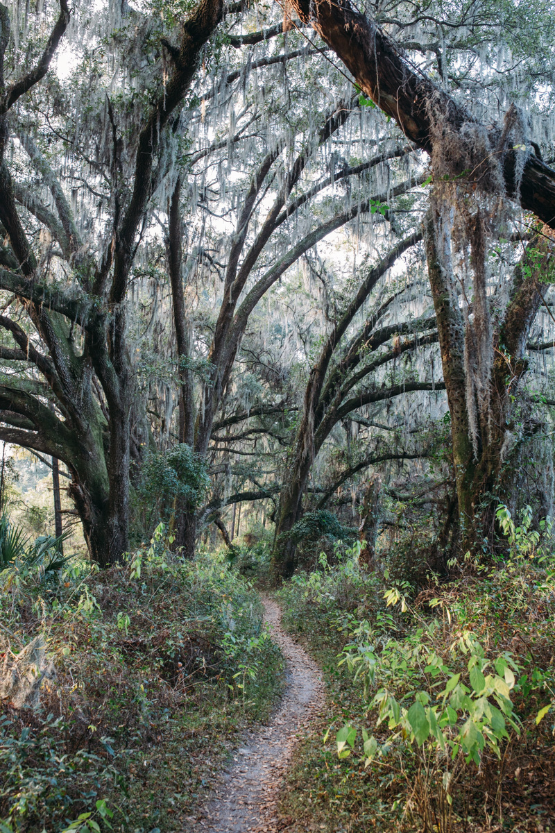
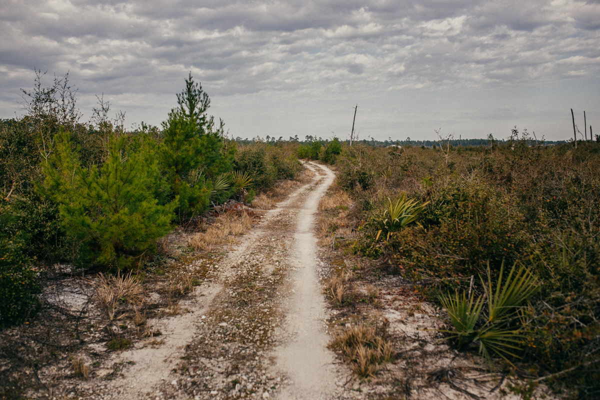
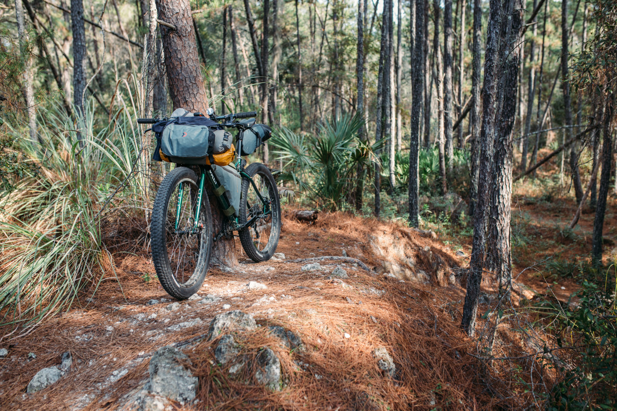
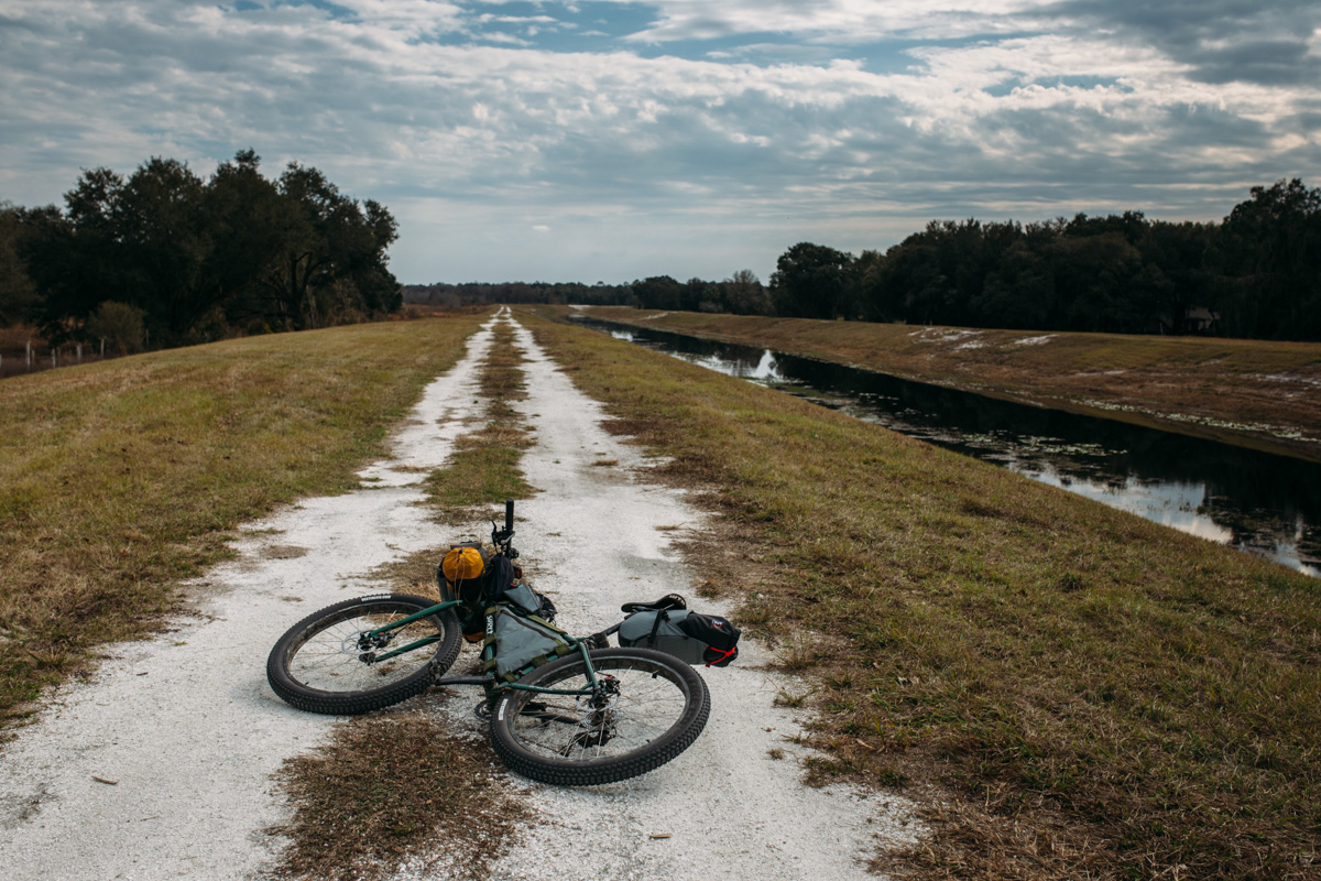
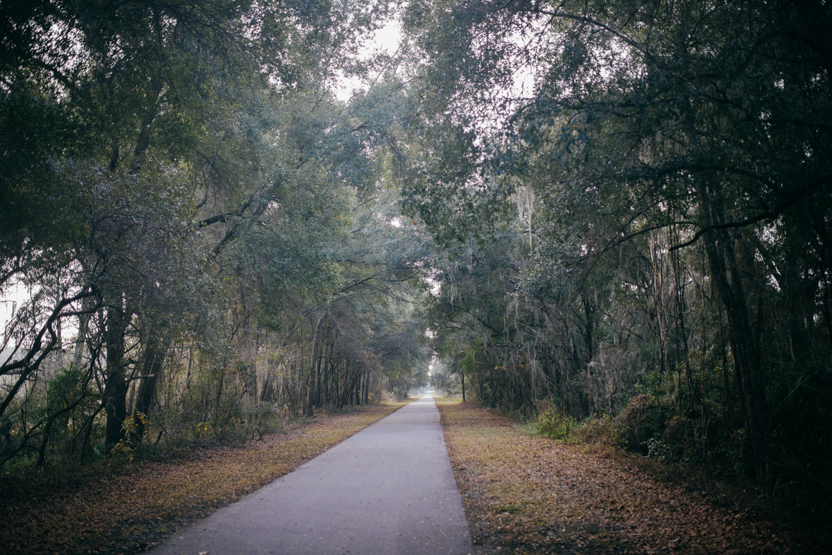
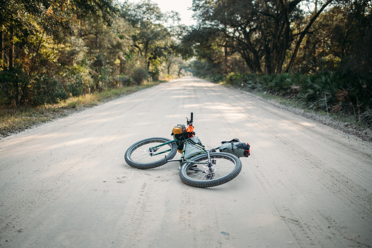
The Huracan 300 is a 300+ mile route designed specifically for a self-supported bikepacking race of the same name. The ‘Huracan 300 Challenge’ is considered the ultimate off-road endurance experience in the state of Florida. The route features over 100 miles of singletrack, long traverses through remote double track forest roads and abandoned paths, and stretches of pavement in between.
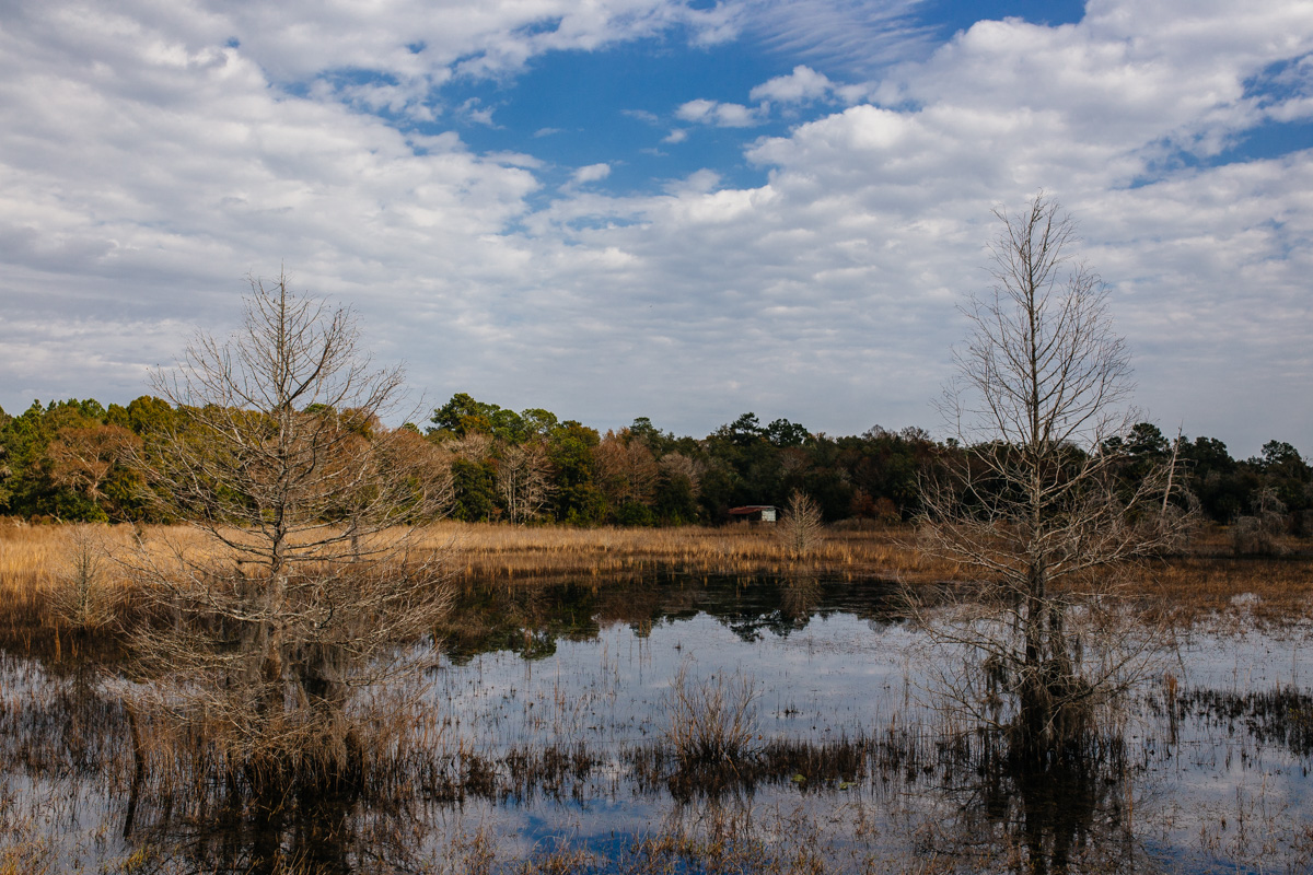
During the route riders cross wooded areas lined with live oaks draped in spanish moss, massive pine forests, protected wildlife areas, two mountain bike parks, and some of Florida’s longest and hardest climbs. That’s right, there are climbs. See the highlights below for many more details.
Route development: The Huracan 300 route was conceived and designed by Karlos Bernart (Singletrack Samurai) for The Huracan 300 Challenge race which takes place in February every year. The nest race is scheduled for February 3rd, 2018.


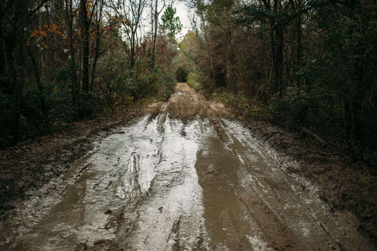

*NOTE: this is the 2017 race route. The route always changes and there are areas prone to flooding at different times of the year; it is highly recommended to make a modest donation to Singletrack Samurai ($30 recommended) and get the latest Trail Guide, GPX route with notes about flooding.
Submit Route Alert
As the leading creator and publisher of bikepacking routes, BIKEPACKING.com endeavors to maintain, improve, and advocate for our growing network of bikepacking routes all over the world. As such, our editorial team, route creators, and Route Stewards serve as mediators for route improvements and opportunities for connectivity, conservation, and community growth around these routes. To facilitate these efforts, we rely on our Bikepacking Collective and the greater bikepacking community to call attention to critical issues and opportunities that are discovered while riding these routes. If you have a vital issue or opportunity regarding this route that pertains to one of the subjects below, please let us know:
Highlights
Must Know
Camping
Food/H2O
- The Santos OMBA Epic in Ocala (a bronze-level IMBA Ride Center) featuring twisting and flowing trails that have many options. Take some of the reds for a more challenging ride. Also, don’t miss the Nayls trails and Ern N Burn.
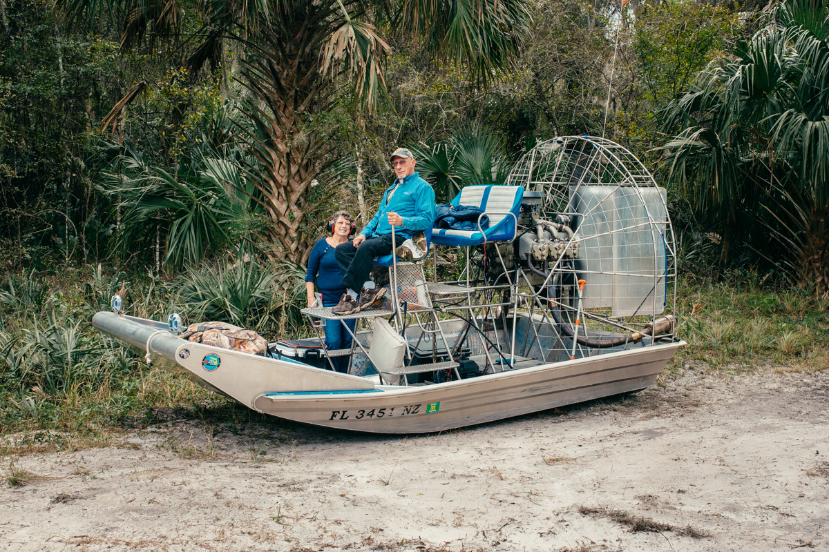
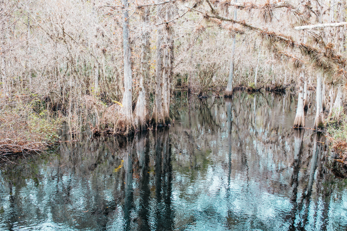
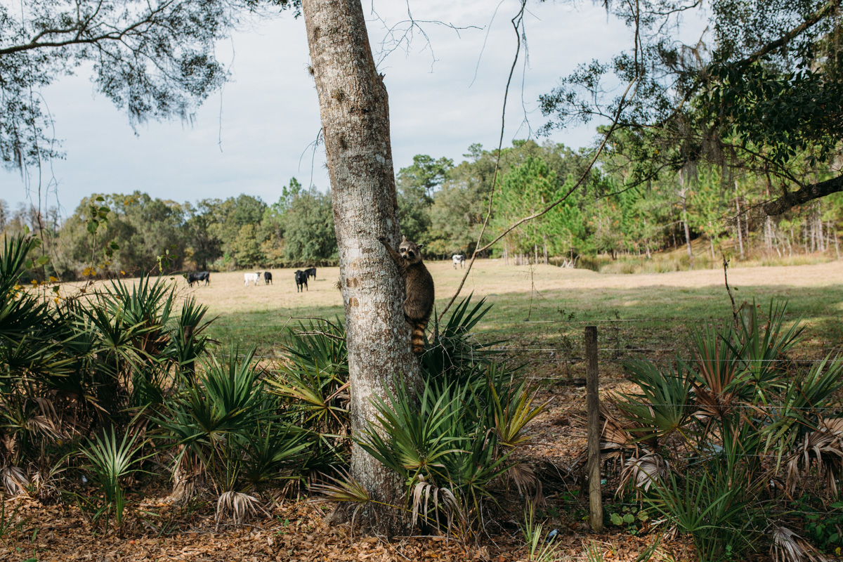
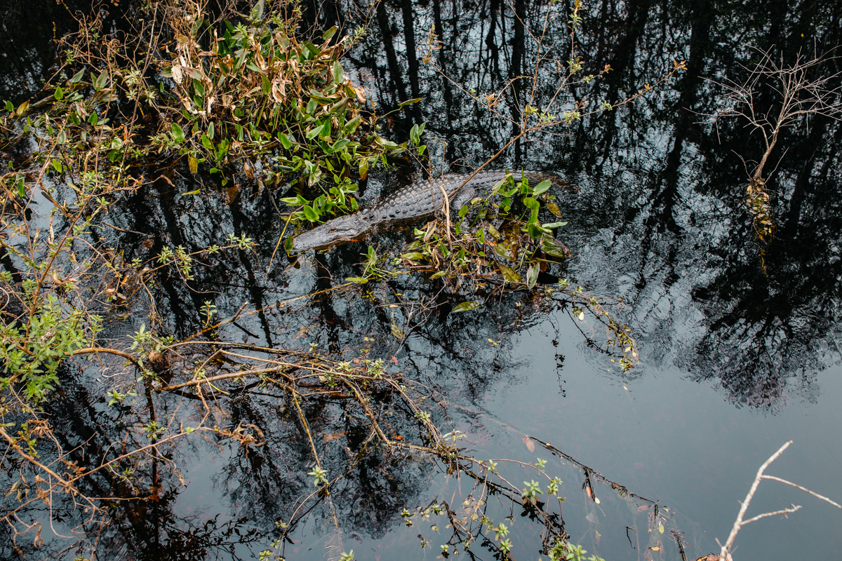
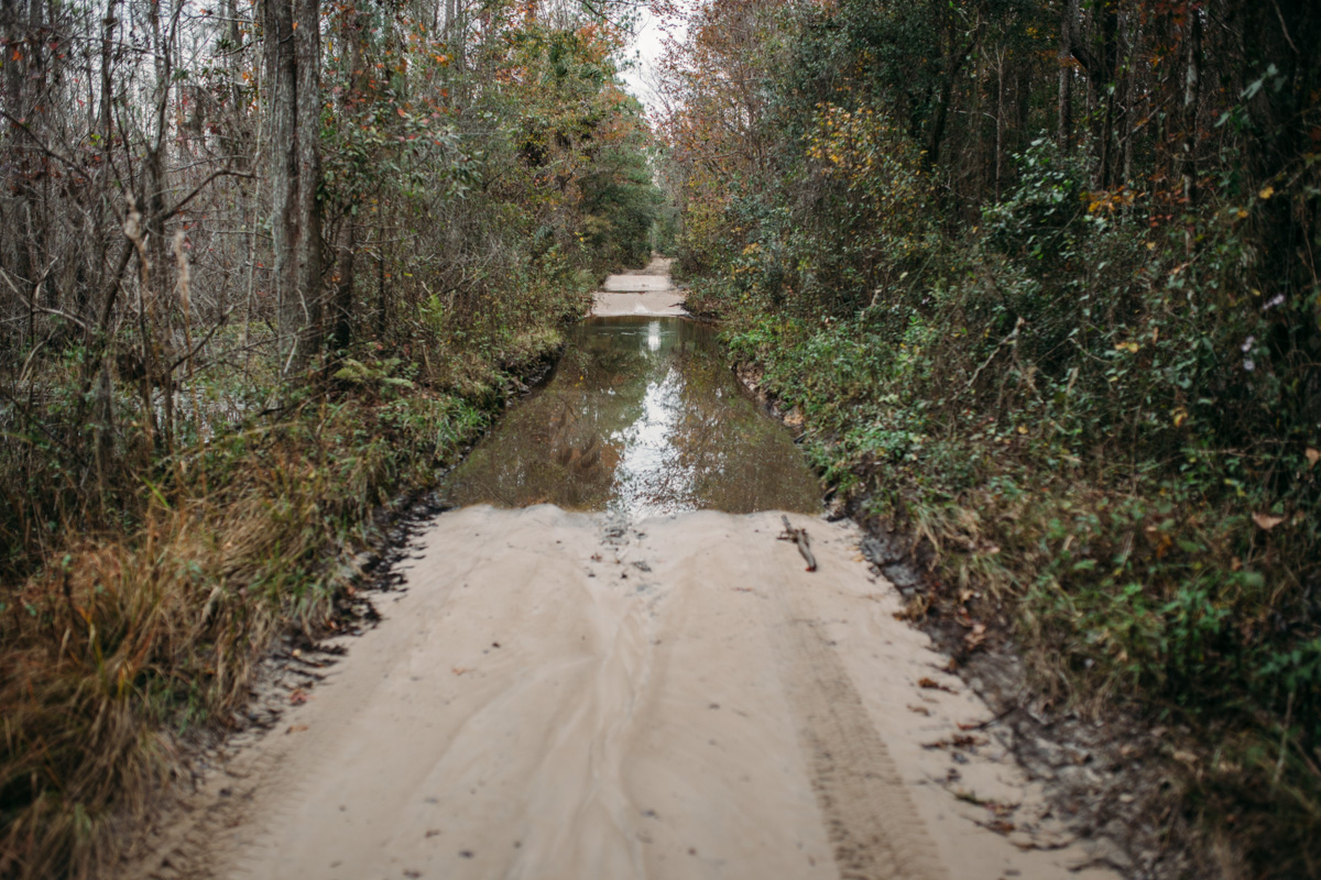
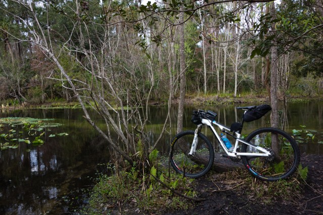
- Flying Eagle nature preserve is a beautiful section of the route that undulates through swamp and wetlands with beautiful views and wildlife such as wild hogs, gators, armadillo, deer and coyote.
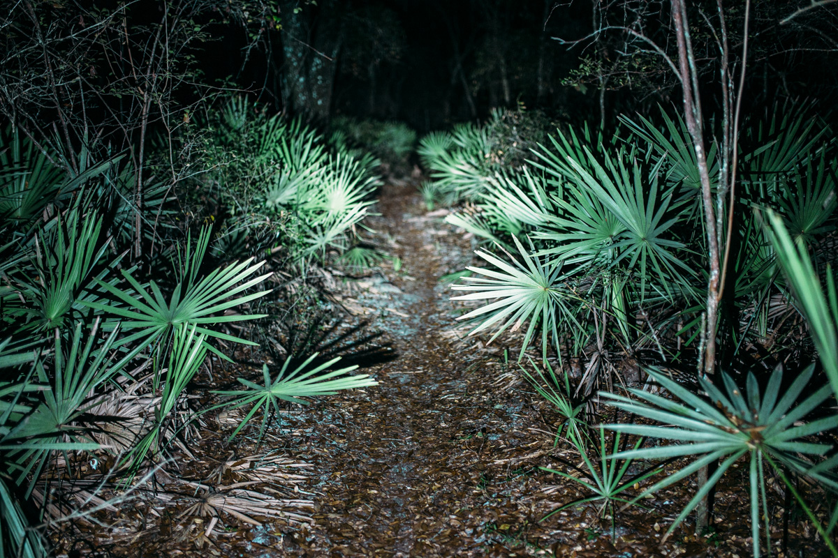
- Night riding the singletrack trails at Croom.
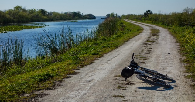
- Lake Apopka restoration area is a network of limestone roads that offer a chance to see bear, alligators and coyote all in one place.
- Wekiva river singletrack before the river fording is a favorite among folks for the tight technical singletrack that is punctuated by ankle breaking cypress knees.
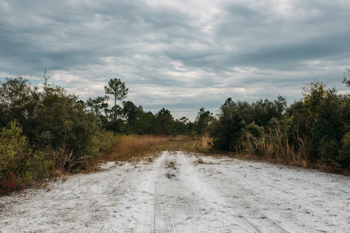
- Seminole forest offers miles of gravel forest roads through various eco systems; it starts off on pine scrub then drops into an oak and cypress forest.
- The Ocala National Forest offers miles of undulating forest roads and a chance to feel that small person in a huge forest sensation as you traverse a massive pine forest.
- The ride ends with a trip across Marshall swamp that offers a few miles of gravel based singletrack.
- The route always changes and there are areas prone to flooding at different times of the year; it is highly recommended to make a modest donation to Singletrack Samurai ($30 recommended) and get the latest Trail Guide and GPX with notes about flooding.
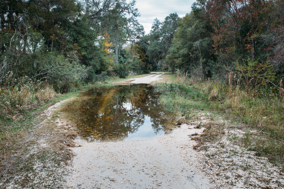
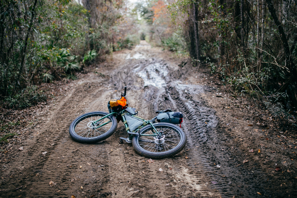
- There are one or two river crossings along the route. Although normally not, they may be high at times (chest high), so be prepared to find detours.
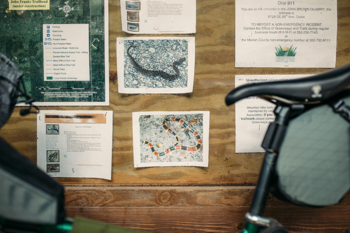
- There is dangerous wildlife in several areas included in the route. Take normal precautions and expect to see large black bears, snakes and gators (6 to 8’ monsters are not uncommon).
- There are several designated backcountry sites available throughout the route.
- Wild camping is possible in a few areas, but there is also a lot of swamp and wetlands that is not ideal for tents.
- There are several places where is is not advised to stealth camp on the ground, including around Lake Apopka, there are large black bears and gators there.
- For camping, your best bet is to look for designated campground points and primitive camping noted on the GPX.
- There are hotel options in a few places along the route as well.
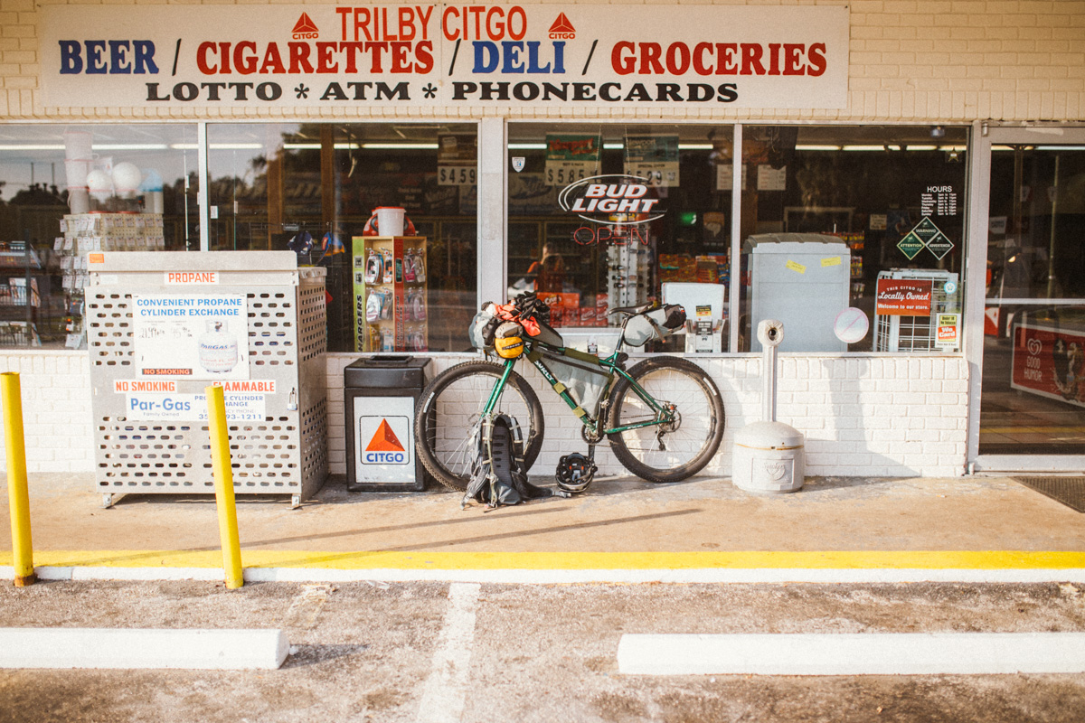
- There are plenty of places to restock along the route (a few are noted on the GPX). However, there are also a couple of 80+ mile stretches without services. These should be planned accordingly.
- Water filtration is advisable, and there are also several stations with running water in the wildlife reserve areas.


Terms of Use: As with each bikepacking route guide published on BIKEPACKING.com, should you choose to cycle this route, do so at your own risk. Prior to setting out check current local weather, conditions, and land/road closures. While riding, obey all public and private land use restrictions and rules, carry proper safety and navigational equipment, and of course, follow the #leavenotrace guidelines. The information found herein is simply a planning resource to be used as a point of inspiration in conjunction with your own due-diligence. In spite of the fact that this route, associated GPS track (GPX and maps), and all route guidelines were prepared under diligent research by the specified contributor and/or contributors, the accuracy of such and judgement of the author is not guaranteed. BIKEPACKING.com LLC, its partners, associates, and contributors are in no way liable for personal injury, damage to personal property, or any other such situation that might happen to individual riders cycling or following this route.
Please keep the conversation civil, constructive, and inclusive, or your comment will be removed.