


Gunsight Ridge, Bikepacking Mount Hood at its Finest
Distance
154 Mi.
(248 KM)Days
4
% Unpaved
75%
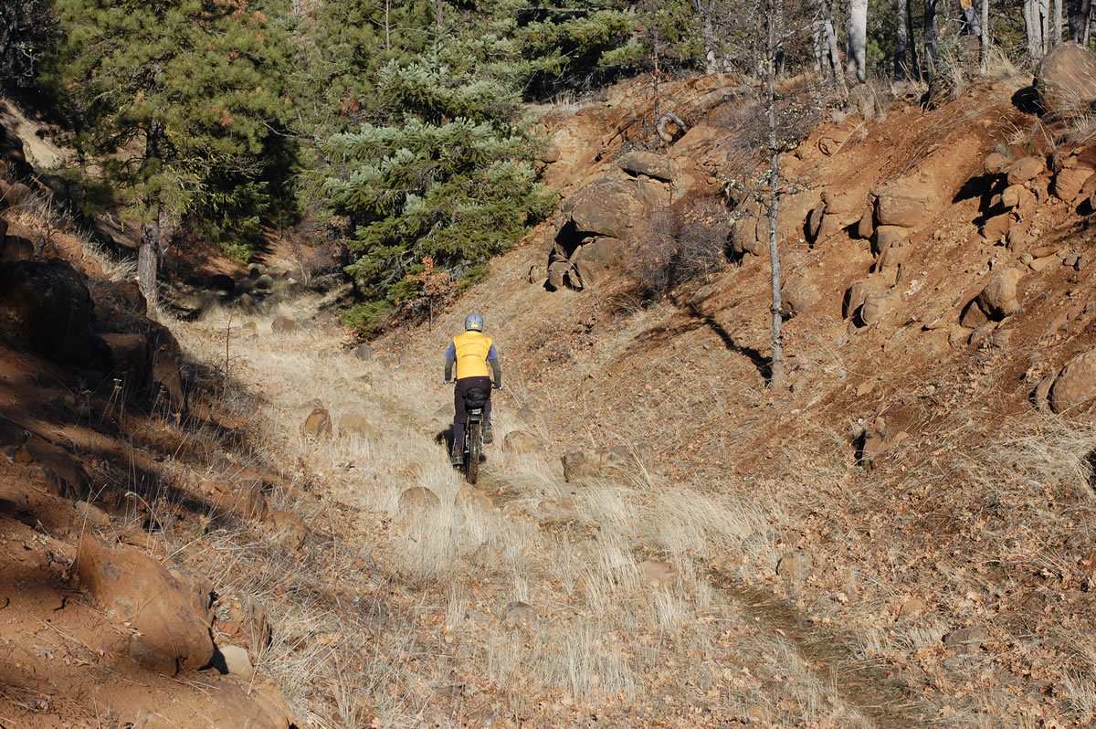
% Singletrack
?%
% Rideable (time)
100%
Total Ascent
16,120'
(4,913 M)High Point
6,033'
(1,839 M)Difficulty (1-10)
6?
- 7Climbing Scale Strenuous105 FT/MI (20 M/KM)
- -Technical Difficulty
- -Physical Demand
- -Resupply & Logistics
Contributed By

Donnie Kolb
Velo Dirt
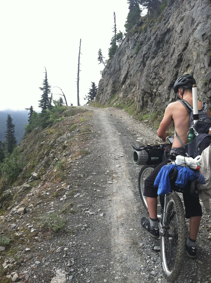
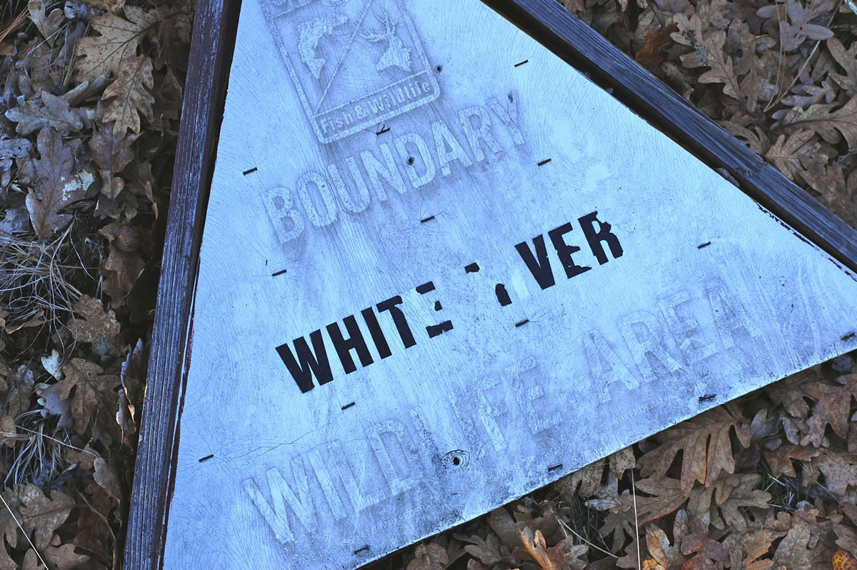
Beginning in The Dalles, you’ll ride through the least visited portion of the White River Wildlife Area before joining up with the original Barlow Road as you climb up the mountain towards Bennett Pass. From there you’ll get to ride Gunsight Ridge with several optional single track sections before a stellar 25 mile, 4,300 foot descent back into The Dalles.
Submit Route Alert
As the leading creator and publisher of bikepacking routes, BIKEPACKING.com endeavors to maintain, improve, and advocate for our growing network of bikepacking routes all over the world. As such, our editorial team, route creators, and Route Stewards serve as mediators for route improvements and opportunities for connectivity, conservation, and community growth around these routes. To facilitate these efforts, we rely on our Bikepacking Collective and the greater bikepacking community to call attention to critical issues and opportunities that are discovered while riding these routes. If you have a vital issue or opportunity regarding this route that pertains to one of the subjects below, please let us know:
Highlights
Must Know
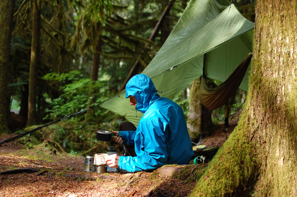
Camping
Food/H2O
Resources
- Any time you aggregate all the best roads in a particular area, the overall route ends up looking somewhat convoluted on a map. However, what this loop lacks in style, it more than makes up for in substance – this is our favorite bikepacking route near Portland.
- Jumping in the Rock Creek Reservoir.
- Catching lake trout on the hard-to-find Jean Lake.
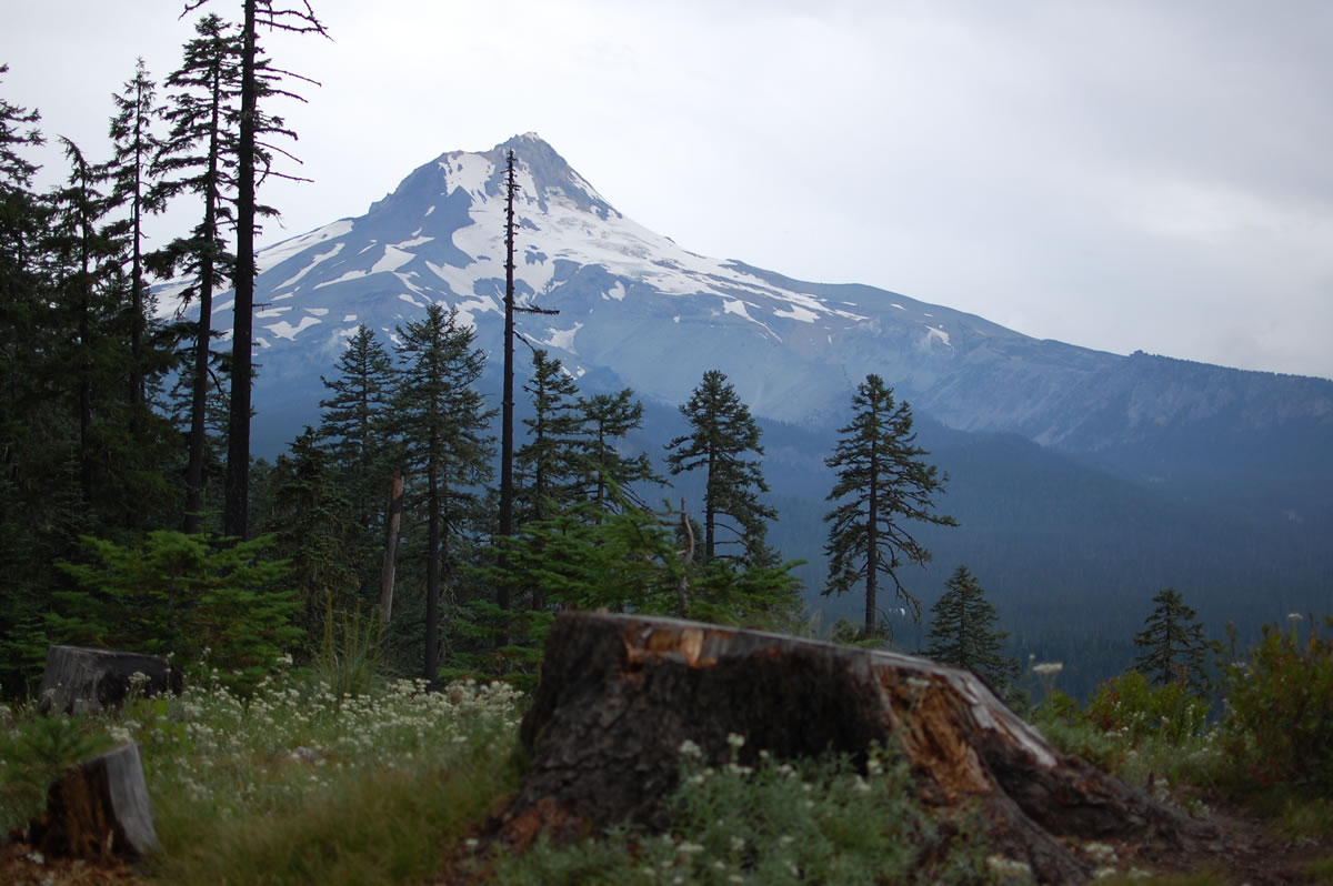
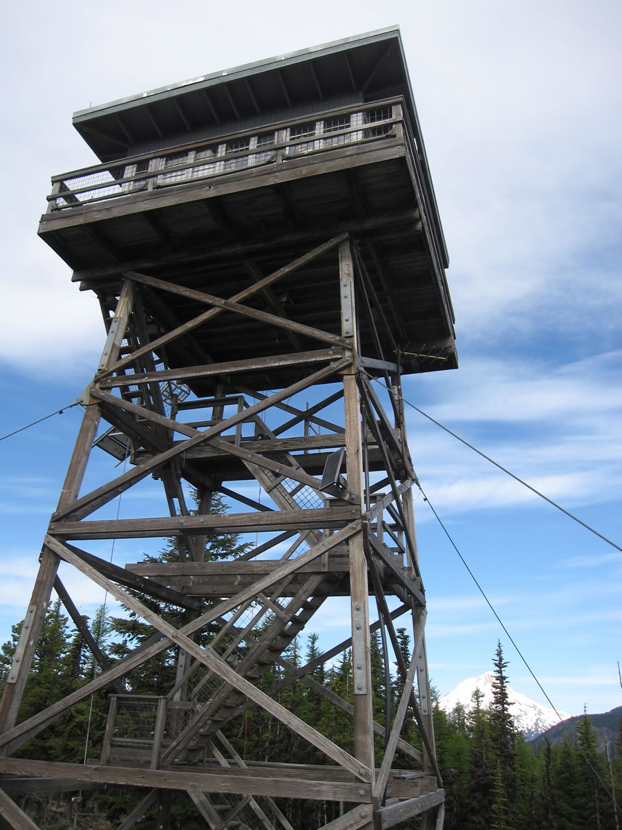
- Views of Mt. Hood from the top of the Flag Point Lookout.
- This route doesn’t come into shape until late-spring or early-summer when the snow clears off the higher elevations. And except for the intro section out of The Dalles through Dufur, this route also makes a good hot weather trip as you are sheltered in the forest most of the time. Similarly, there are repeated opportunities to cool off in the numerous creeks, rivers and lakes. The best time to do this route is generally July, August and into September. However, the season can extend from May into October.
- We prefer riding this route clockwise in part because it breaks up the climbing, but also because of the Barlow Road portion of the route (miles 70-91). This section is remote and difficult to navigate (see below). It’s considerably easier to navigate riding slowly uphill than speeding downhill.
- We begin the GPS tracks at a public parking area in downtown The Dalles. Presumably you can park here overnight for a few days, but always double check whether this is still legal.
- There is a constant supply of camping options along the route, especially if you are into bush camping. We recommend consulting the Mt. Hood National Forest Map and the Benchmark Oregon Road & Recreation Atlas to find established campgrounds. Beyond that, National Forest rules allow you to pretty much camp anywhere you want absent a sign indicating otherwise.
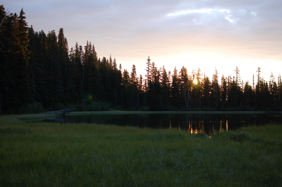
- We highly recommend one particular campsite on the route – the primitive site on Jean Lake. The site is technically in the Beaver Creek Wilderness, so bikes are not allowed. However, the trail is blocked by enough deadfall that you’d be carrying your bike anyways, so ditch the bike in the woods and hike the 0.3 mile trail down to the lake. The unmarked trailhead off Gunsight Ridge (FS 3550) is difficult to find, so keep a close eye on your map or GPS as you get close. There is one primo spot overlooking the lake. There are less desirable spots nearby, but the lake is the real draw, so it really doesn’t matter where you pitch your tent.
- Fifteen Mile Campground is the last good camping option. There are a couple more established campgrounds past this, but we are not certain of reliable water access.
- Services are very limited. You’ll be able to fully stock up in The Dalles at the start of your ride, but your only other option along the route is the very small grocery store in Dufur at mile 30.
- There are some off-route options for restocking if necessary. However, the available alternatives are limited enough that we don’t believe any are worth the added effort (Tygh Valley, Pine Hollow, Wamic, Government Camp). Instead, use this low commitment route to gain experience for doing longer, more remote routes that can require carrying 4 or more days of food at a time.
- There is potable water at the Rock Creek Campground and in Dufur. Otherwise you will be relying on natural sources for all of your water. Generally speaking there are creeks, springs and rivers at reasonable intervals, so we won’t bother to point out specific water access points. The only exception to this is the last 35 miles of the route. We suggest taking whatever you need to finish up your trip from the creek at the Fifteen Mile Campground. Beyond that water sources are limited to non-existent (one possibility may be the Knebal Springs Campground where you may be able to poach spring water from the horse trough).
- One warning on water availability: in the summer months the White River becomes undrinkable without a true pump-style filter. The river gets its name from the glacial silt coming off the White Glacier high on the mountain, turning the river into the equivalent of skim milk. There are alternative water sources in this area, so just keep that in mind when deciding when to fill up.
Get full route information including mileposts, history, navigation, and other resources, visit oregonBIKEPACKING.com/portfolio-posts/east-sider/


Terms of Use: As with each bikepacking route guide published on BIKEPACKING.com, should you choose to cycle this route, do so at your own risk. Prior to setting out check current local weather, conditions, and land/road closures. While riding, obey all public and private land use restrictions and rules, carry proper safety and navigational equipment, and of course, follow the #leavenotrace guidelines. The information found herein is simply a planning resource to be used as a point of inspiration in conjunction with your own due-diligence. In spite of the fact that this route, associated GPS track (GPX and maps), and all route guidelines were prepared under diligent research by the specified contributor and/or contributors, the accuracy of such and judgement of the author is not guaranteed. BIKEPACKING.com LLC, its partners, associates, and contributors are in no way liable for personal injury, damage to personal property, or any other such situation that might happen to individual riders cycling or following this route.
Please keep the conversation civil, constructive, and inclusive, or your comment will be removed.