


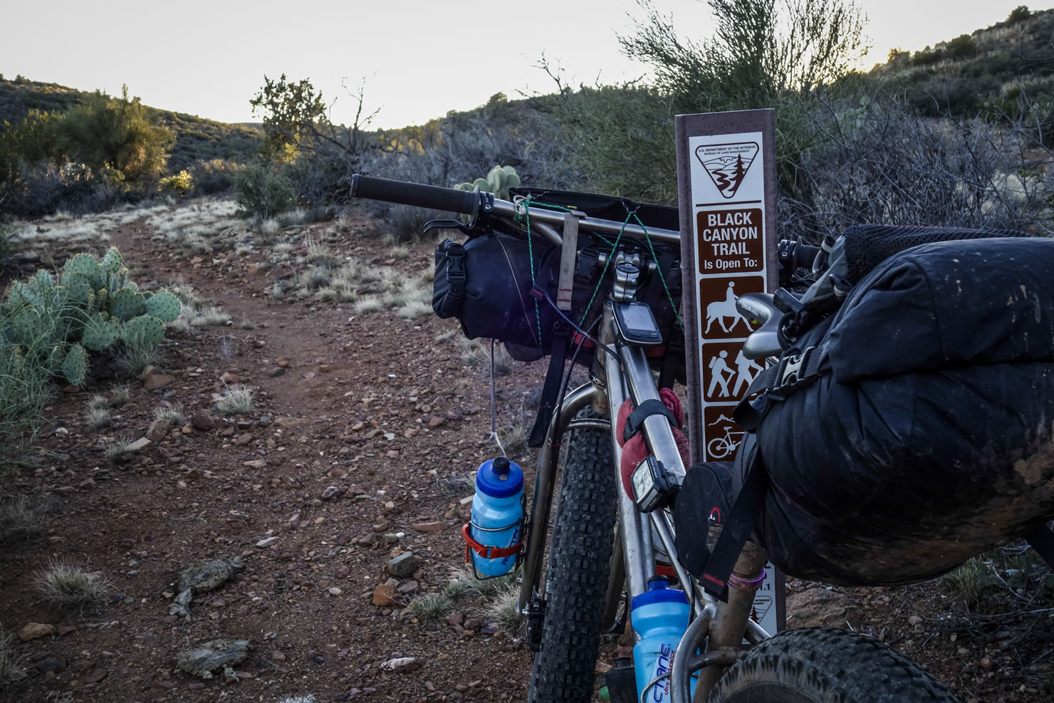
Black Canyon Trail (BCT)
Distance
76 Mi.
(122 KM)Days
3
% Unpaved
100%
% Singletrack
100%
% Rideable (time)
99%
Total Ascent
4,858'
(1,481 M)High Point
4,507'
(1,374 M)Difficulty (1-10)
5?
- 4Climbing Scale Fair64 FT/MI (12 M/KM)
- -Technical Difficulty
- -Physical Demand
- -Resupply & Logistics
Contributed By
Devon Balet
Death By Singlespeed
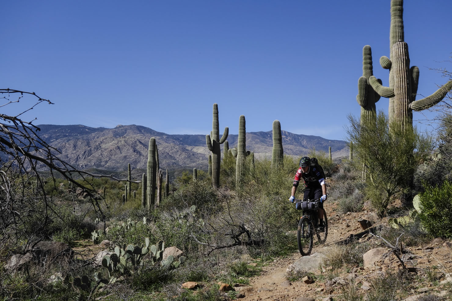
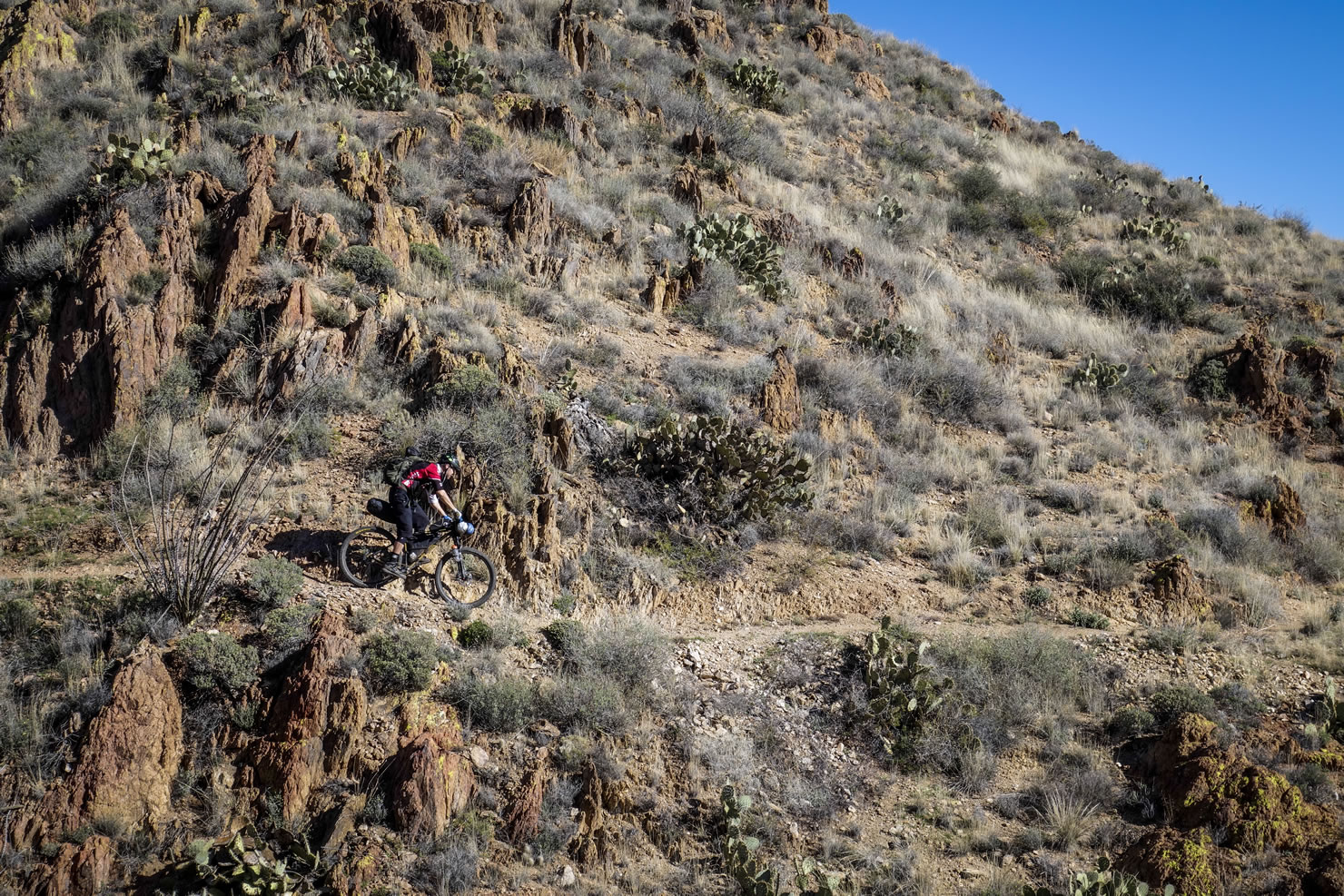
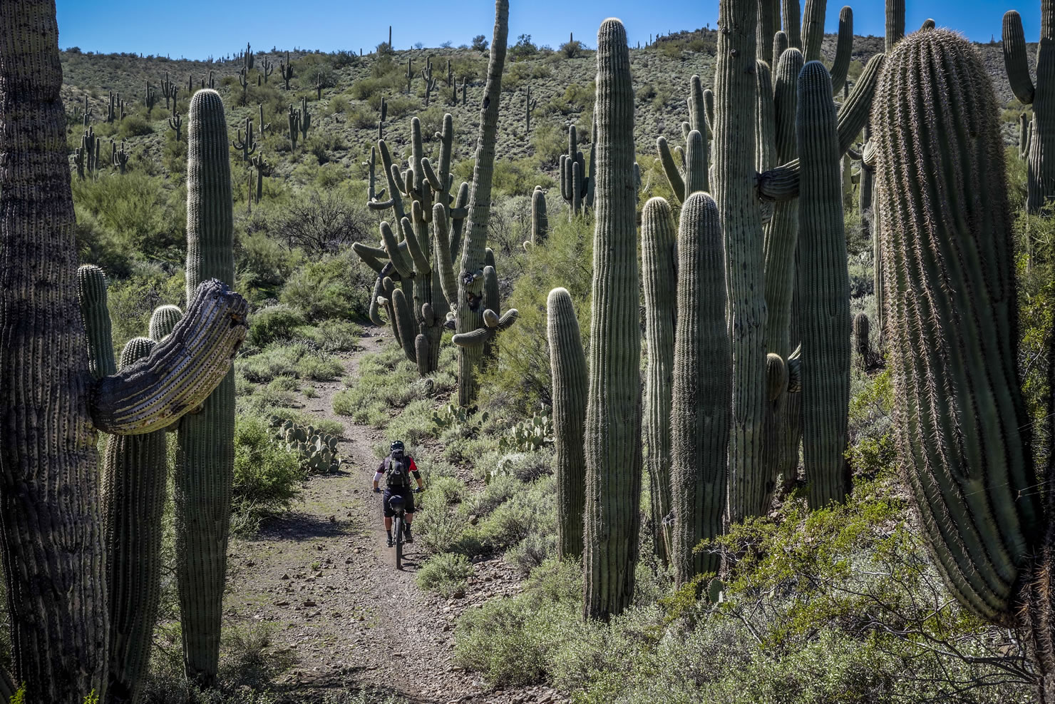
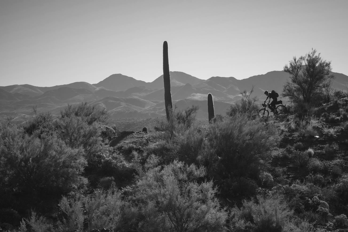
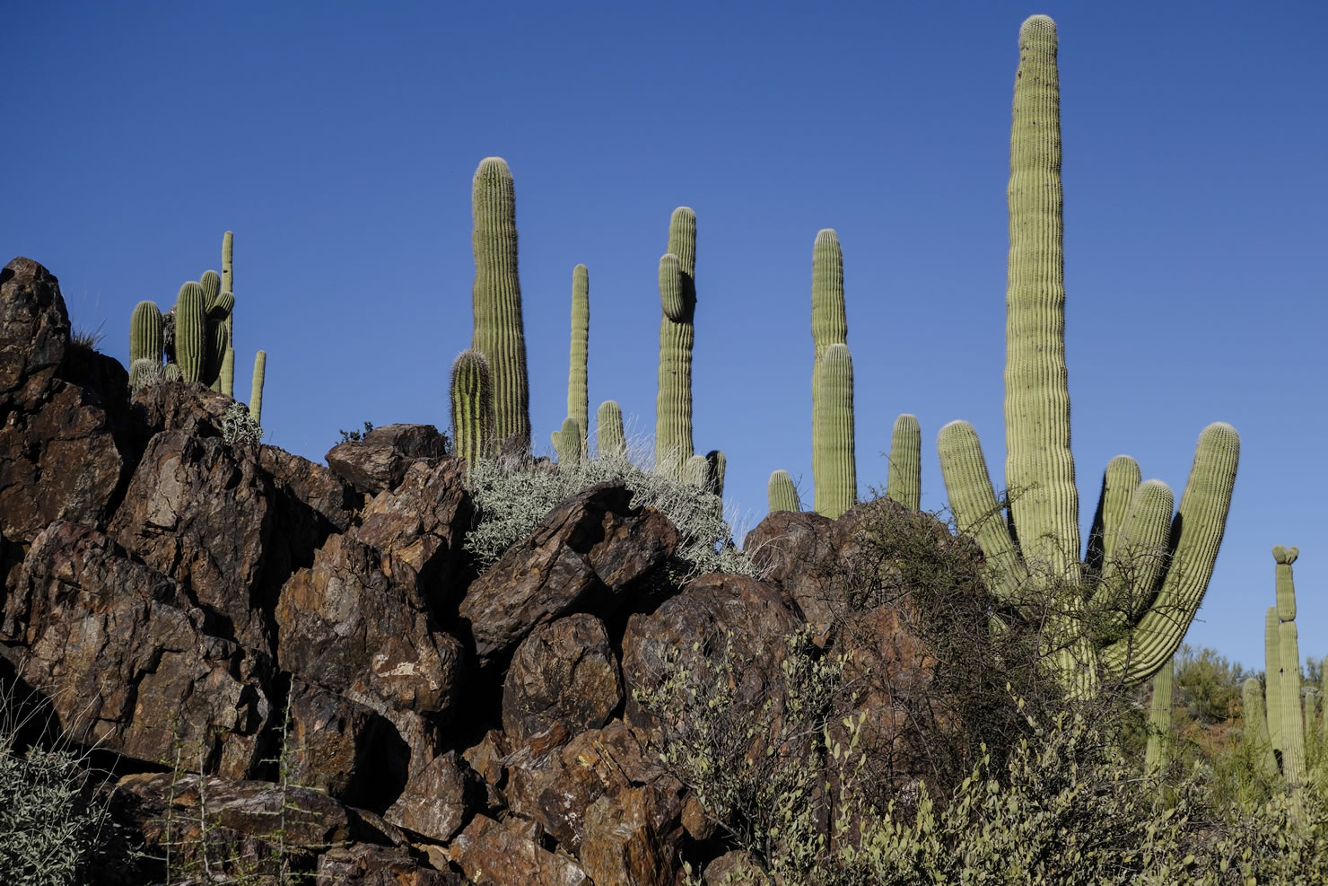
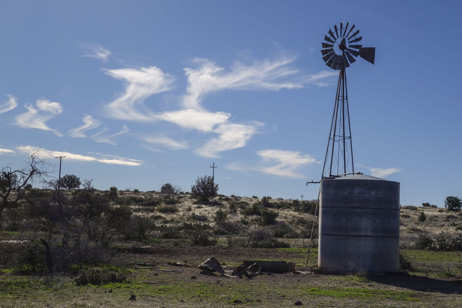
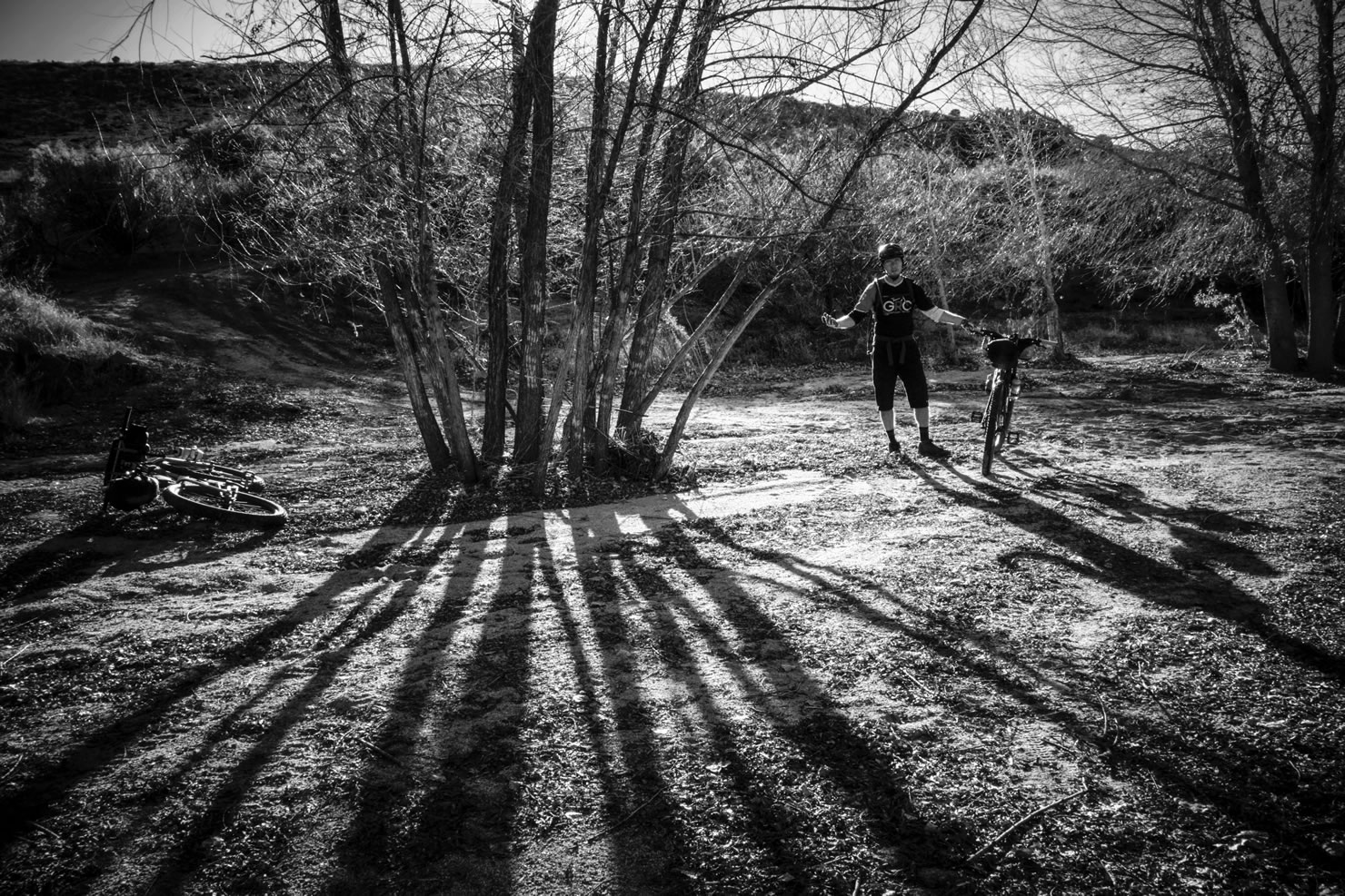
From its beginning just north of Highway 69 to its terminus at the Carefree Highway, the BCT is a long descent through a spectacular swath of the Sonoran Desert. The landscape includes saguaro forests, rugged canyons, and views of the Bradshaw Mountains to the west.
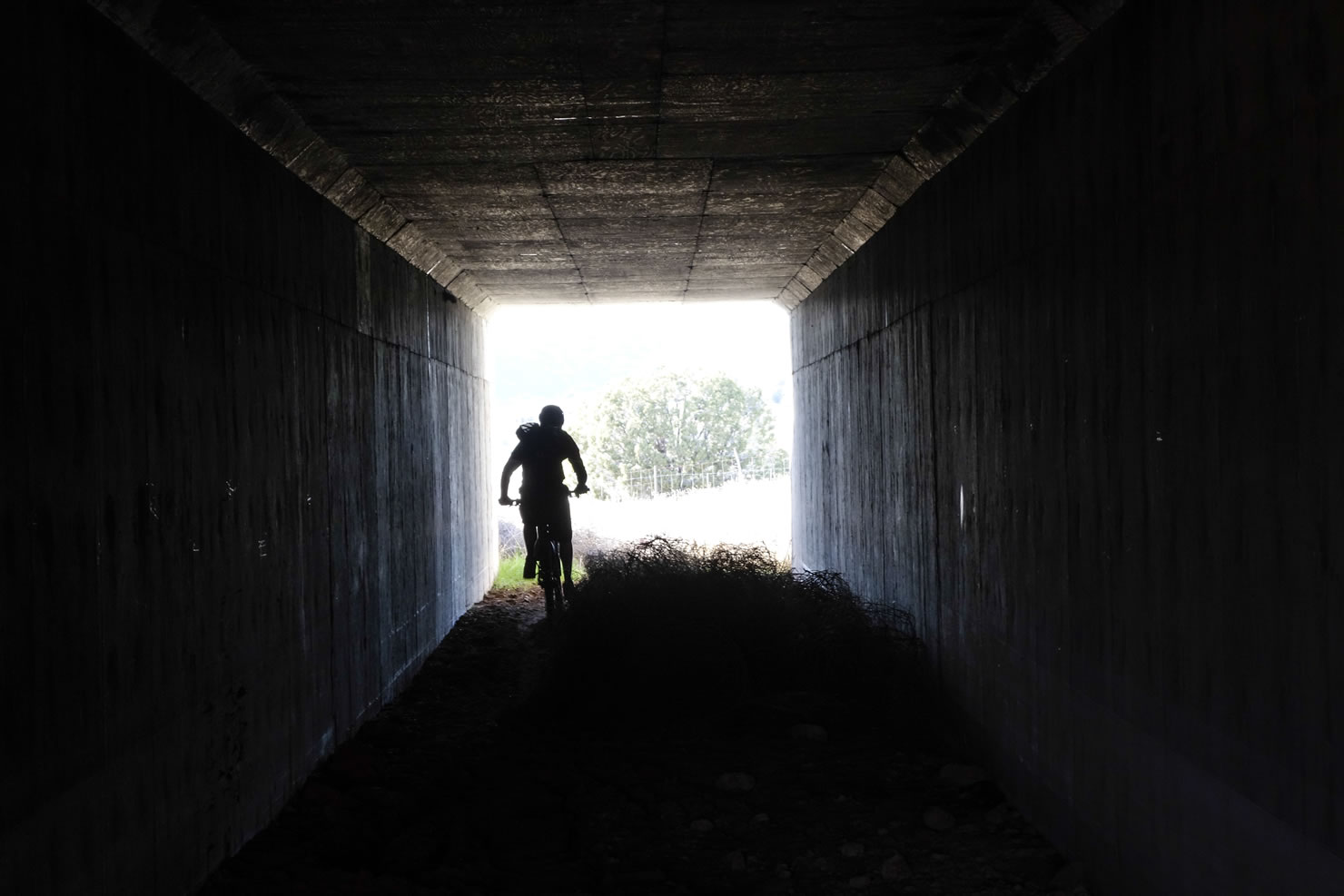
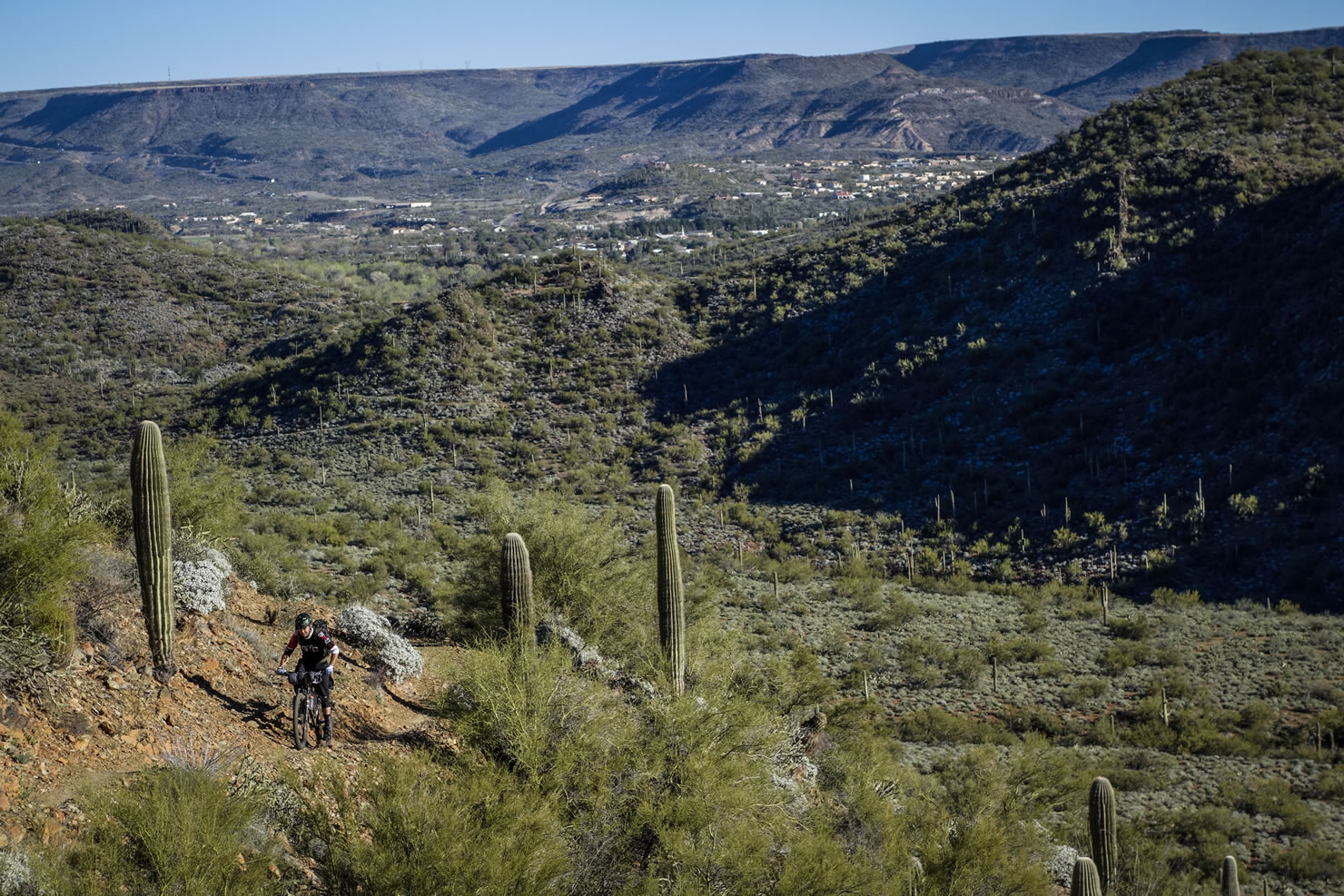
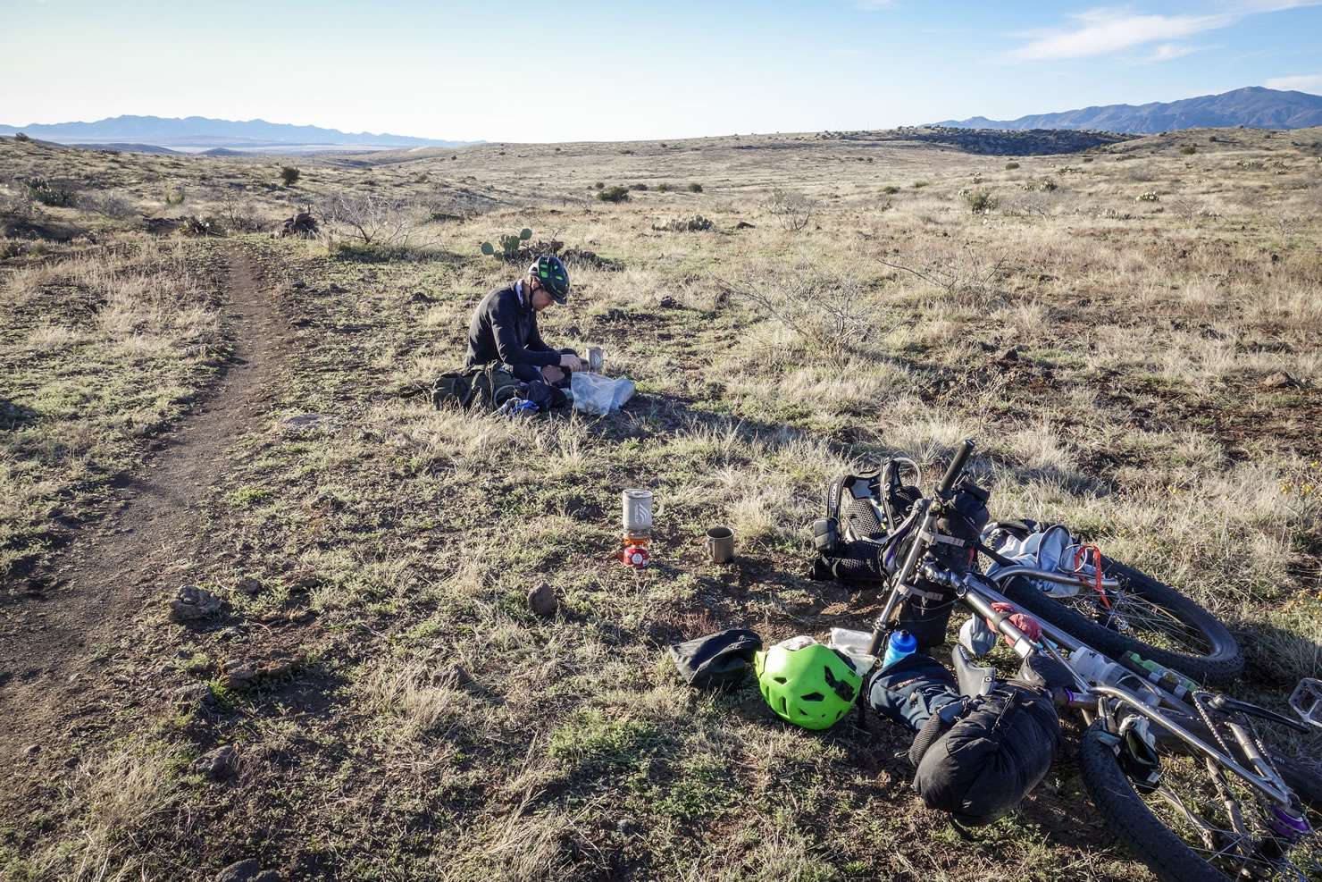
The standard start is just outside Spring Valley along Highway 69 between I-17 and Prescott, Arizona. The trail now extends farther north of Highway 69, but can be harder to access. The first few miles are relatively flat. On our ride the area had seen some recent rains, combined with cow traffic made for some bumpy rather unpleasant riding. From the six mile mark all the way to Bumble Bee is awesome flowing single track. No brakes, no pedaling bliss! From Bumble Bee south to the Table Mesa trailhead, expect dramatic views and the most exciting riding of the whole route.
Your one and only real resupply along the route is Black Canyon City. With several restaurants, gas stations and even a market, there is plenty to restock for the rest of the trail. Once departing Black Canyon City, the trail becomes much more up and down. The southern section of the BCT is mellow with a gradual descent. Many people stop at Emery Henderson trailhead as the section between there and the Carefree Highway is flat and uninteresting compared to the rest of the route.
If you are interested in a slightly longer variation that makes a loop out of the BCT, make sure to to check out The Fool’s Loop that starts and finishes in Phoenix…


Submit Route Alert
As the leading creator and publisher of bikepacking routes, BIKEPACKING.com endeavors to maintain, improve, and advocate for our growing network of bikepacking routes all over the world. As such, our editorial team, route creators, and Route Stewards serve as mediators for route improvements and opportunities for connectivity, conservation, and community growth around these routes. To facilitate these efforts, we rely on our Bikepacking Collective and the greater bikepacking community to call attention to critical issues and opportunities that are discovered while riding these routes. If you have a vital issue or opportunity regarding this route that pertains to one of the subjects below, please let us know:
Highlights
Must Know
Camping
Food/H2O
Trail Notes
Resources
- Tight, narrow single track cutting along steep exposed hill sides.
- Incredible scenery and a thrill ride from Bumble Bee south to the Table Mesa trailhead.
- Scenic views all along the route.
- Pie at Rock Springs Cafe.
When to Go
- The BCT can be ridden year round, however, temps can get extremely hot in the summer months.
- Late fall and early spring are the best months to ride the BCT. Winter is also good, but be prepared with proper clothing and sleeping gear for chilly nights.
Logistics
- The northern terminus can be acessed by shuttle drop-off, or by riding 13 miles of gravel from I-69 along Old Sycamore Rd to Orme Rd.
- Emery Henderson trailhead is a common finishing point as the trail becomes relatively uninteresting compared to the rest.
- There are no services in Spring Valley beyond the gas station. Closest services to the start are at I-17.
- The route can be ridden as a thru-ride or a shuttled ride; it is most commonly ridden from north to south as a shuttled ride.
Dangers/Annoyances
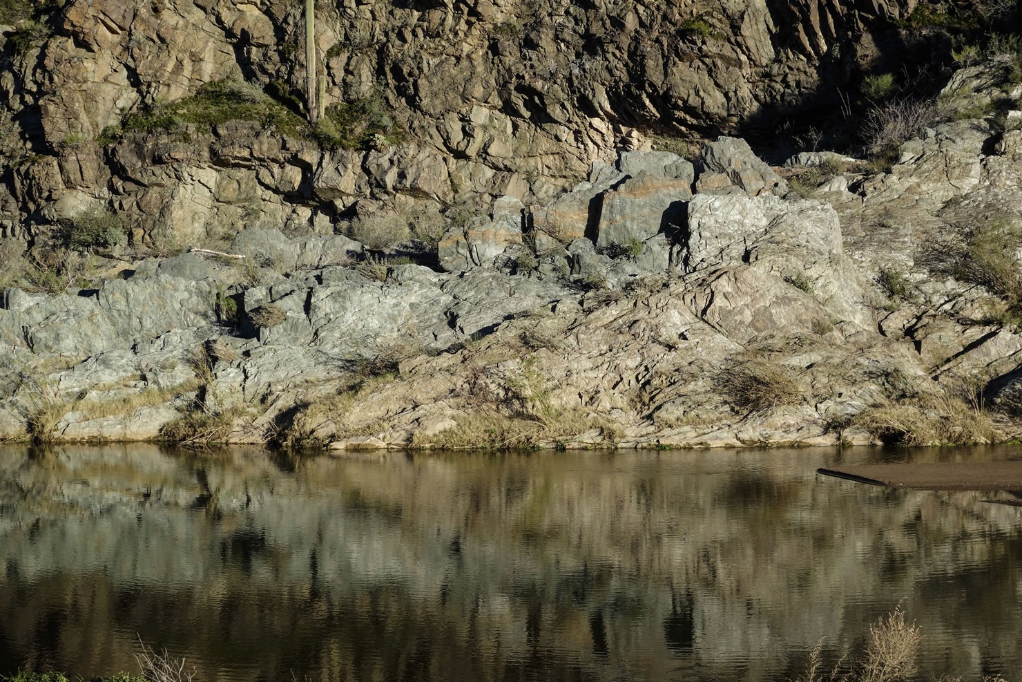
- You will be crossing the Agua Fria several times along the route. Check current water levels as it can get dangerously deep. Mid winter proves to be a good time of year.
- Be aware and remain hydrated; the Sonoran Desert is dry and can be extremely hot at times.
- Prescott, Arizona is the closest place to the start for lodging (30 miles).
- Several lodging options in Black Canyon City including a KOA.
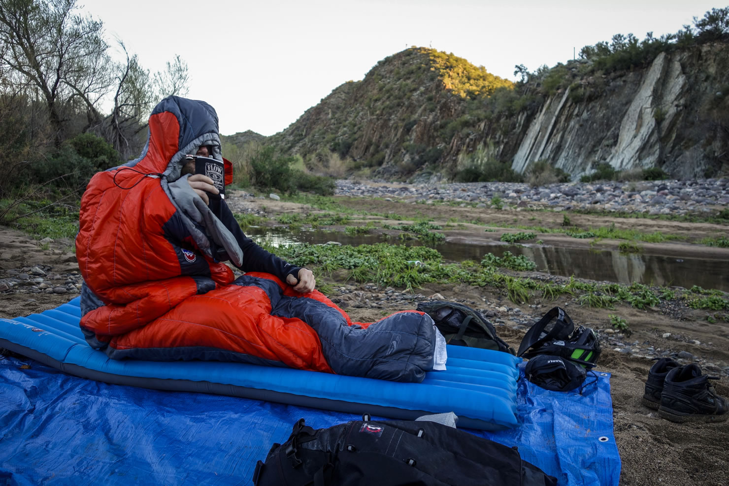
- Dispersed camping all along the route. Keep it pretty for the next people.
- Camping along the Agua Fria is a pleasant change from the typical dry arid camping along the route.
- Black Canyon City is the only reasonable resupply along the route for food.
- You will end up crossing the Agua Fria River several times along the route, a good source for water.
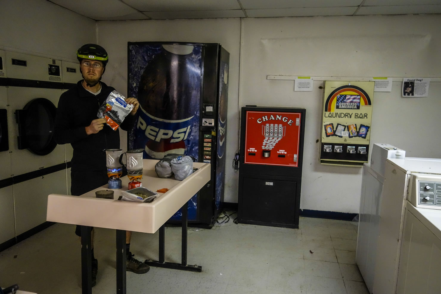
- There is water available at the laundromat in Spring Valley near the start.
- The gas station in Spring Valley is no longer in service.
- Chihuahua’s Chill Grill is a must stop on the north end of Black Canyon City.
- No ride of the BCT is complete without a stop at the Rock Springs Cafe for a slice of pie.
- The first 10 or so miles are amazing! No brakes no pedals!
- Be ready to stop a lot, views are amazing!
- Be sure to check water levels of Agua Fria. It can make a big difference in your experience depending on the water level.
- Chihuahua’s Chill Grill… go there! Black Canyon City
- Leave Black Canyon City fat and happy, next resupply isn’t until the end.
- The southern section of the route isn’t nearly as popular as the northern end. You’ll know when you get there.
- Overall a must do for any bikepacking enthusiast. Easily accessible to do a car supported ride as well.
The Black Canyon Trail Video by Rocky Mountain


Terms of Use: As with each bikepacking route guide published on BIKEPACKING.com, should you choose to cycle this route, do so at your own risk. Prior to setting out check current local weather, conditions, and land/road closures. While riding, obey all public and private land use restrictions and rules, carry proper safety and navigational equipment, and of course, follow the #leavenotrace guidelines. The information found herein is simply a planning resource to be used as a point of inspiration in conjunction with your own due-diligence. In spite of the fact that this route, associated GPS track (GPX and maps), and all route guidelines were prepared under diligent research by the specified contributor and/or contributors, the accuracy of such and judgement of the author is not guaranteed. BIKEPACKING.com LLC, its partners, associates, and contributors are in no way liable for personal injury, damage to personal property, or any other such situation that might happen to individual riders cycling or following this route.
Please keep the conversation civil, constructive, and inclusive, or your comment will be removed.