


Fat-packing Tasmania’s Wild West Coast
Distance
68 Mi.
(109 KM)Days
2
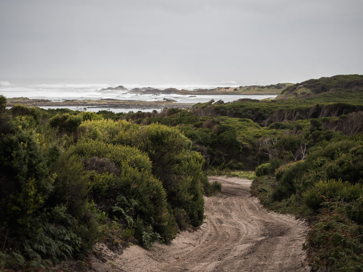
% Unpaved
100%
% Singletrack
7%
% Rideable (time)
98%
Total Ascent
1,700'
(518 M)High Point
170'
(52 M)Difficulty (1-10)
7?
- 2Climbing Scale Easy25 FT/MI (5 M/KM)
- -Technical Difficulty
- -Physical Demand
- -Resupply & Logistics
Contributed By
Tom and Sarah
bicyclenomad
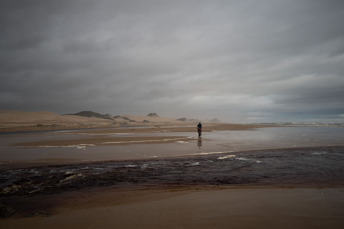
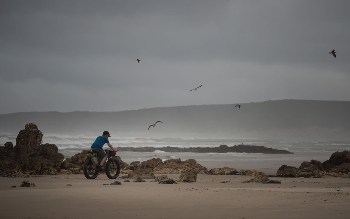
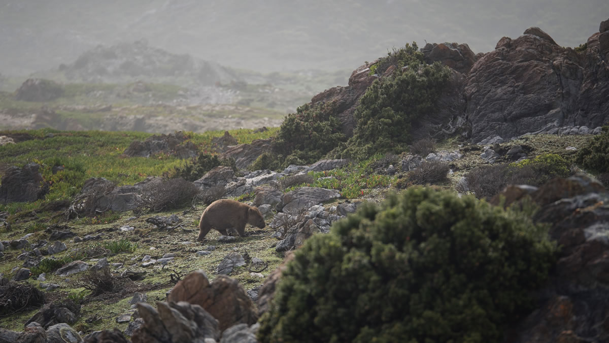
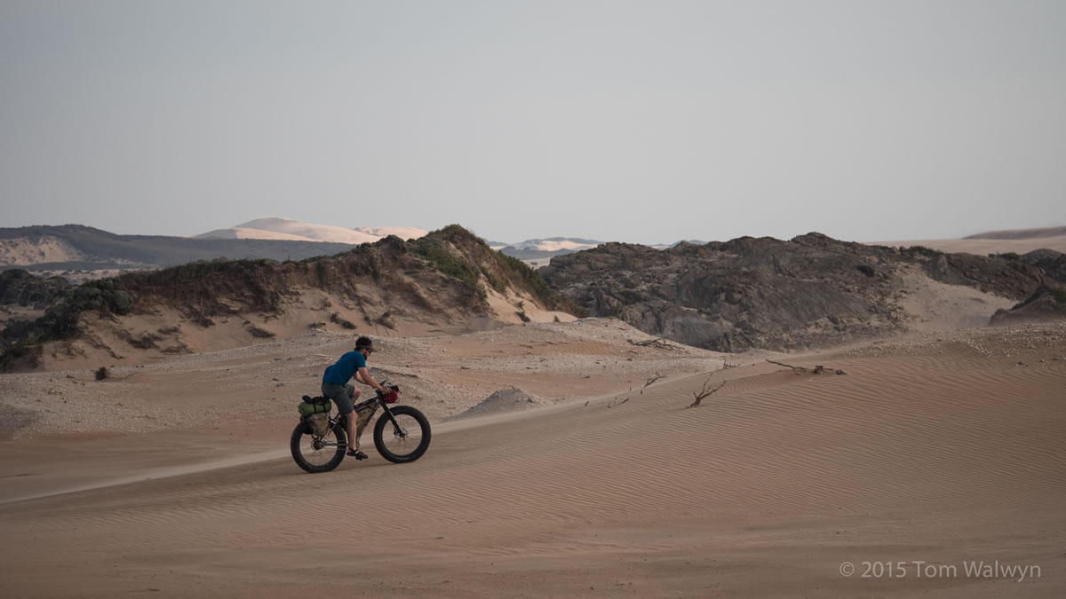
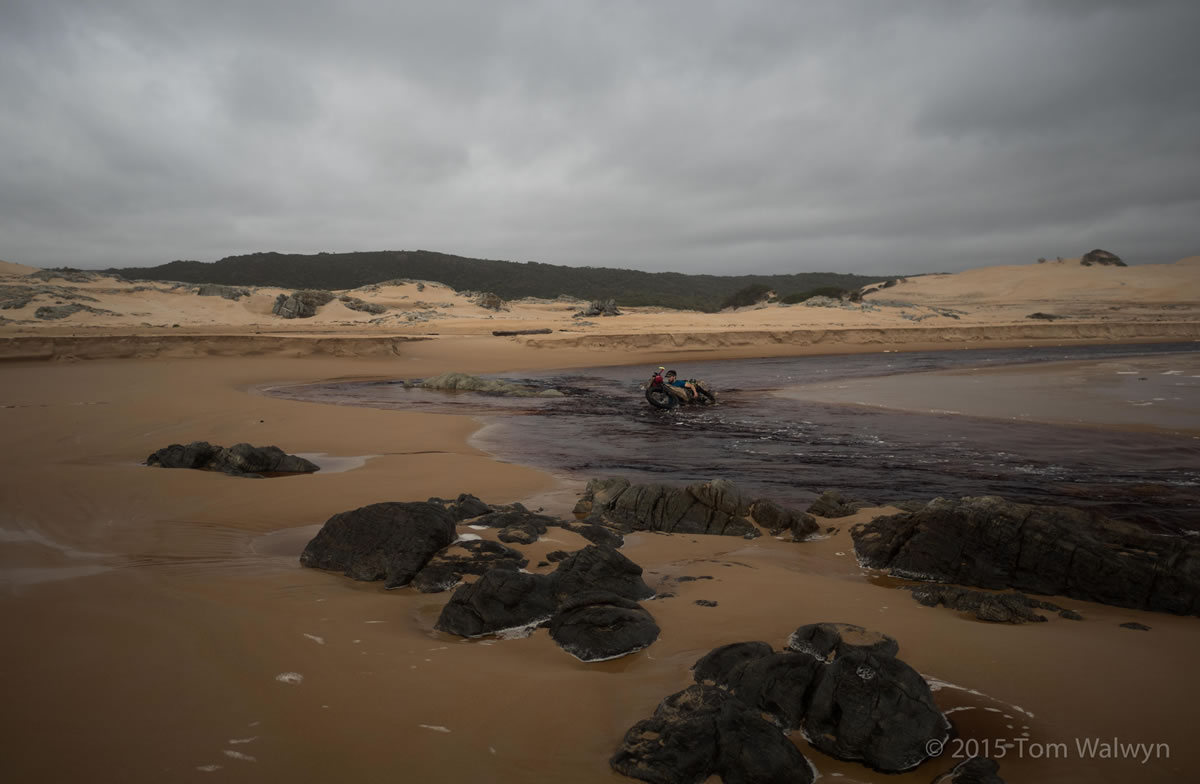
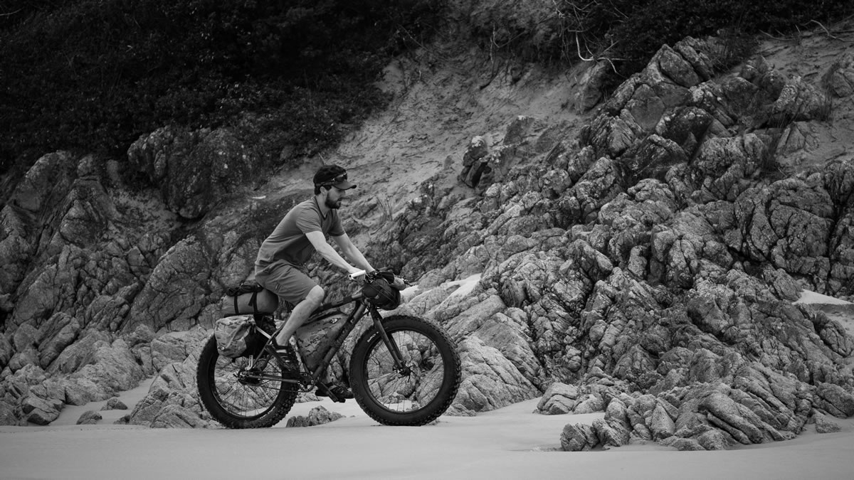
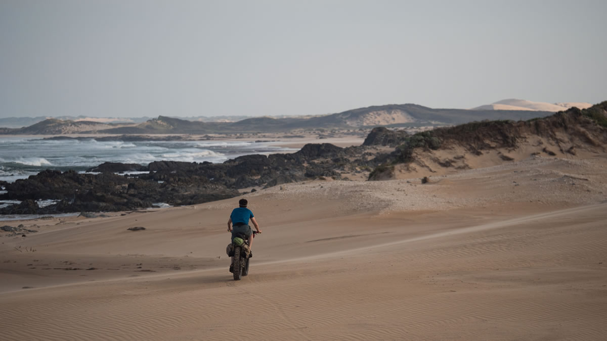
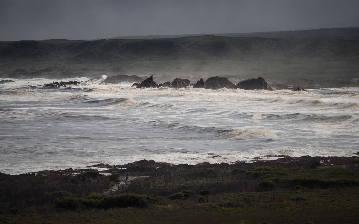
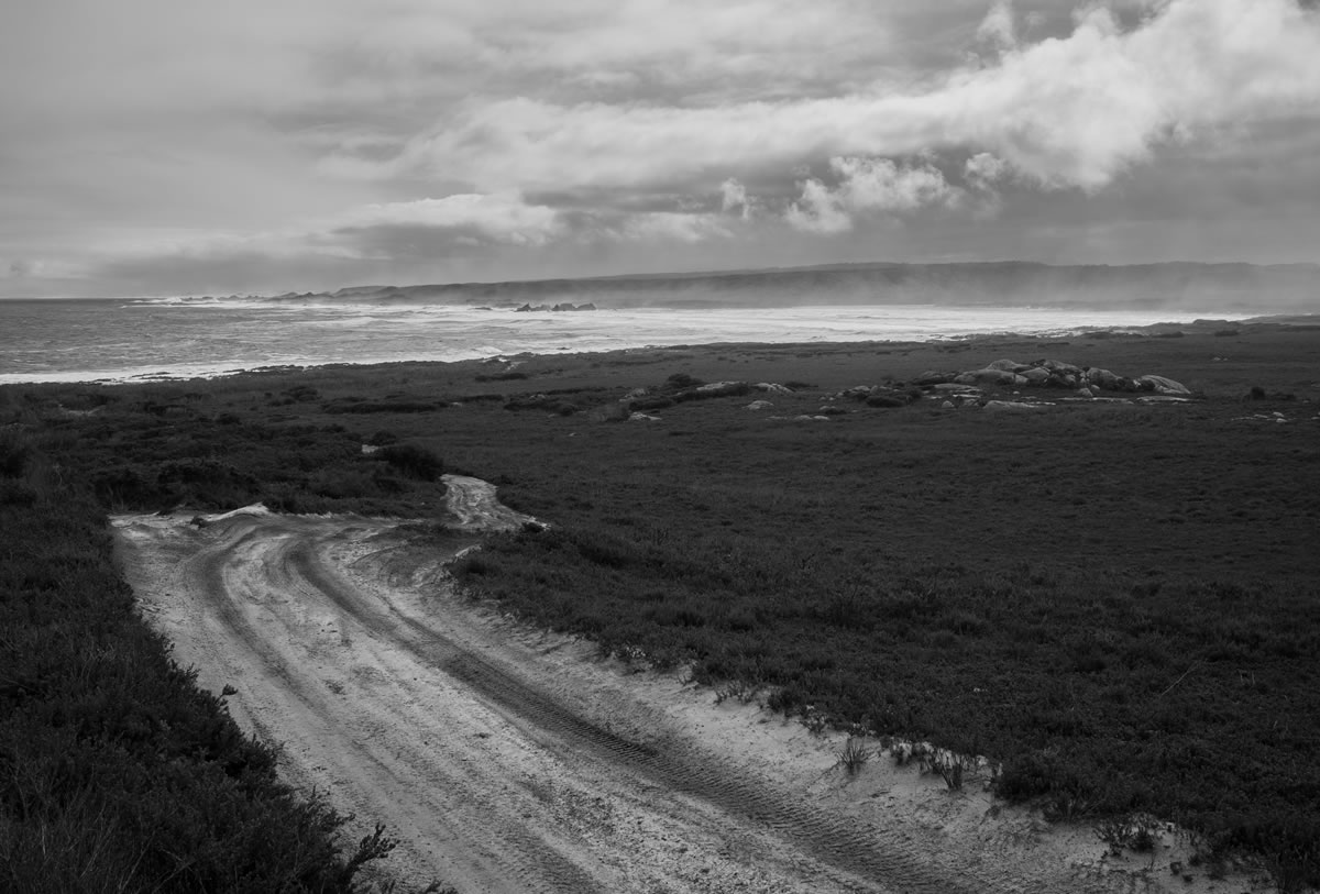
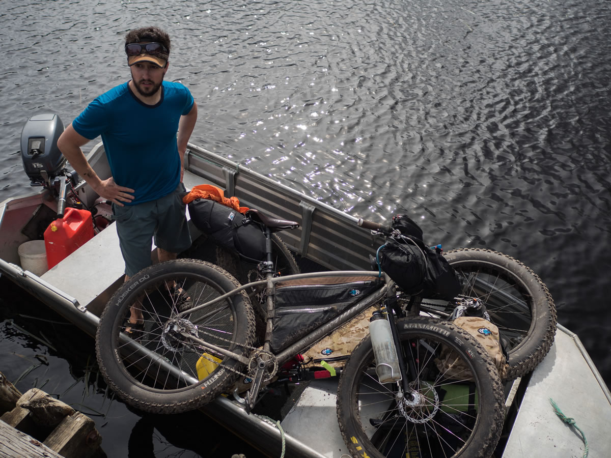
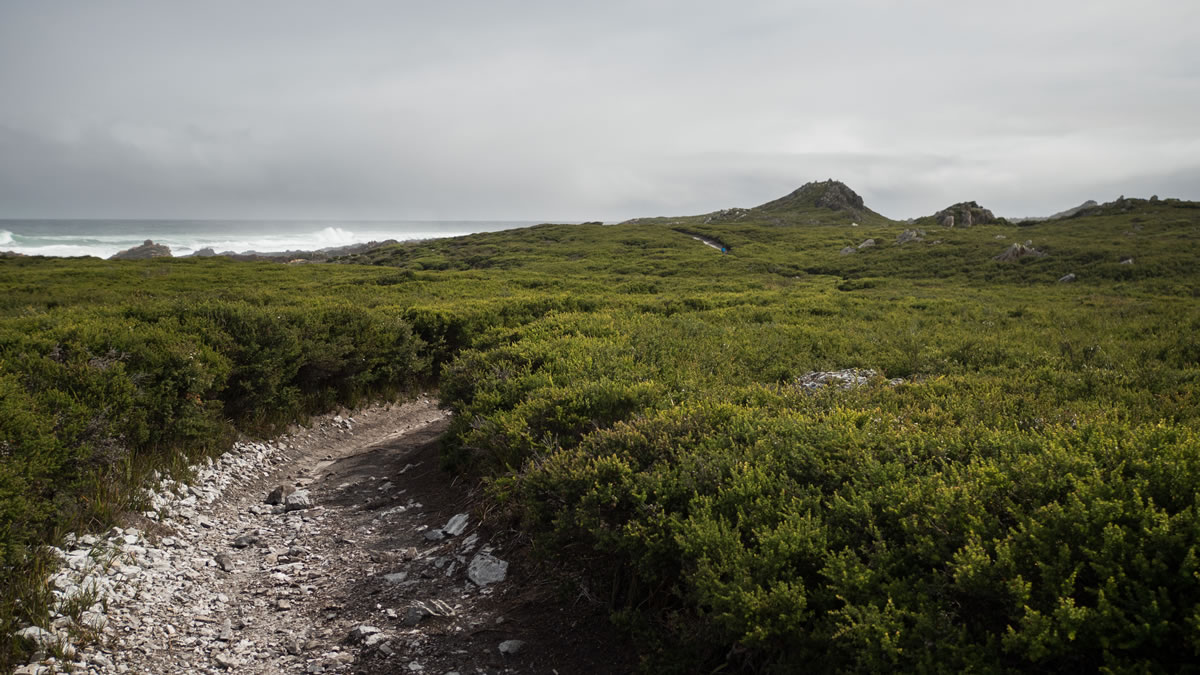
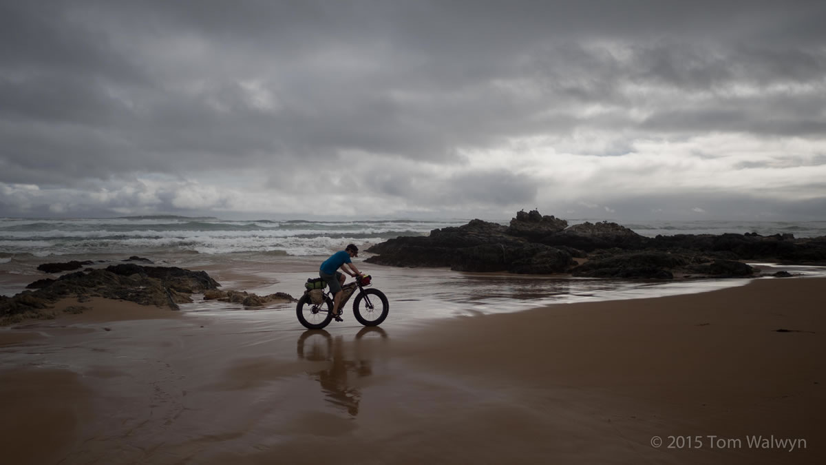
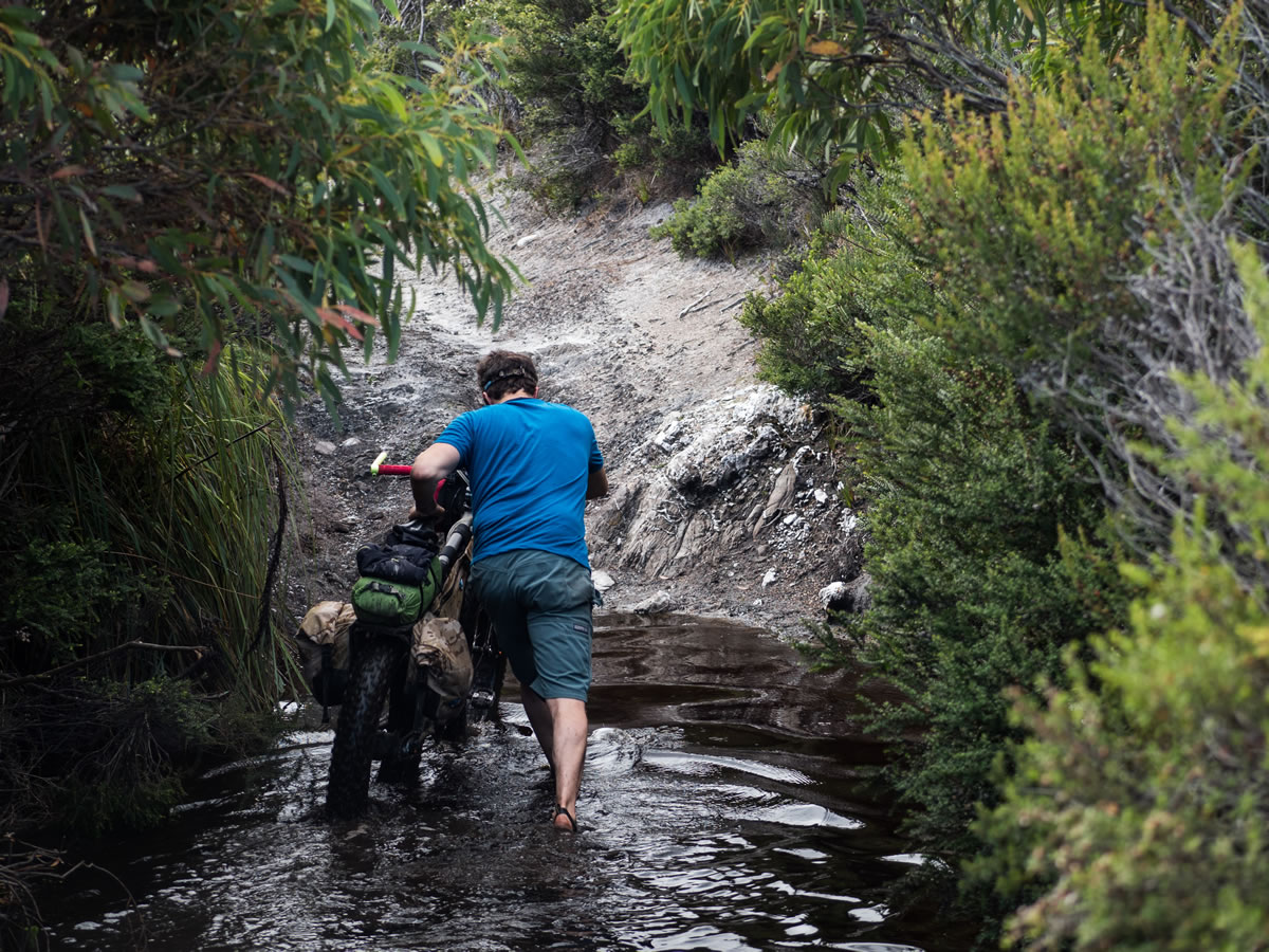
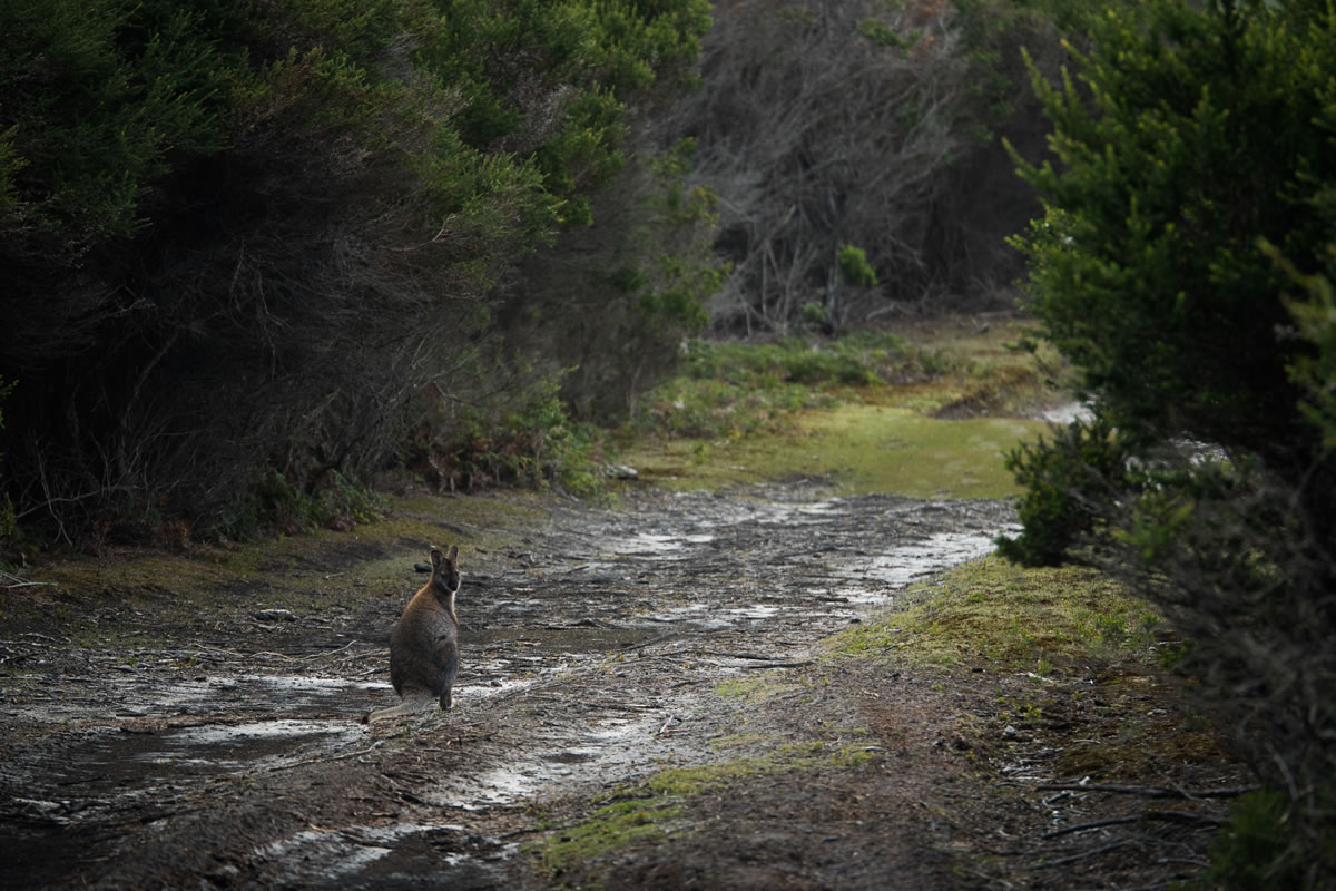
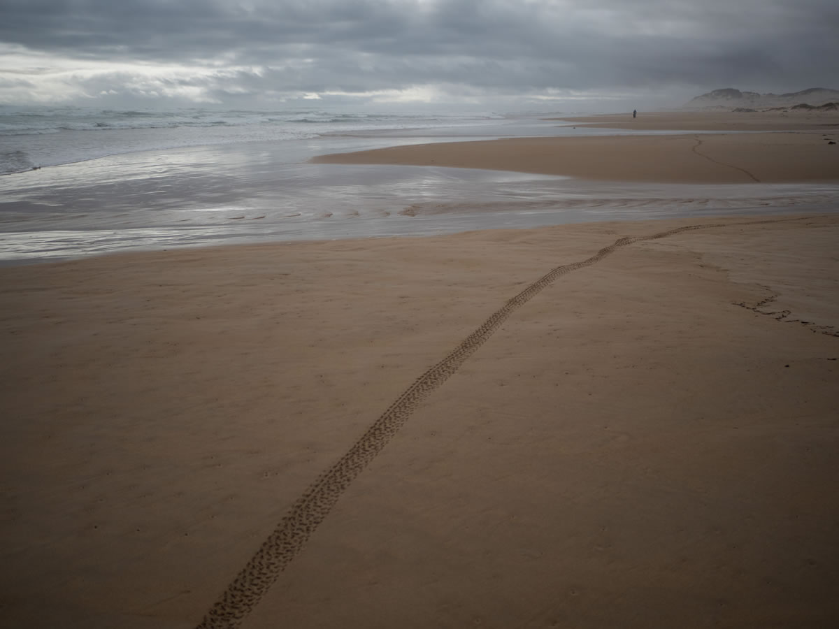
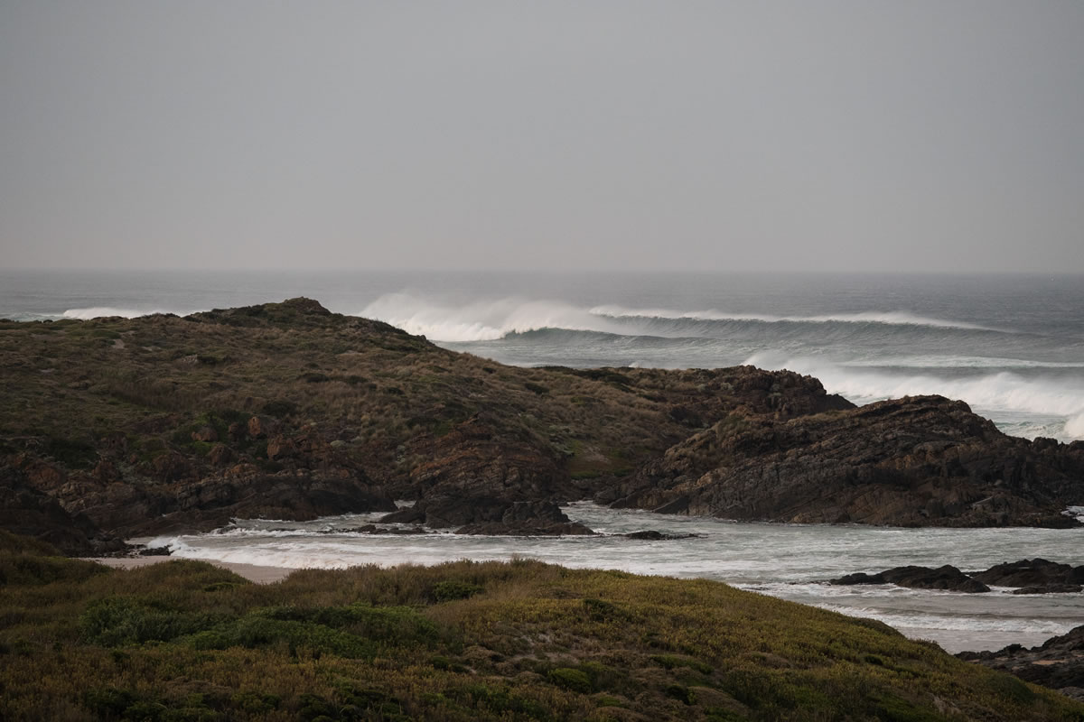
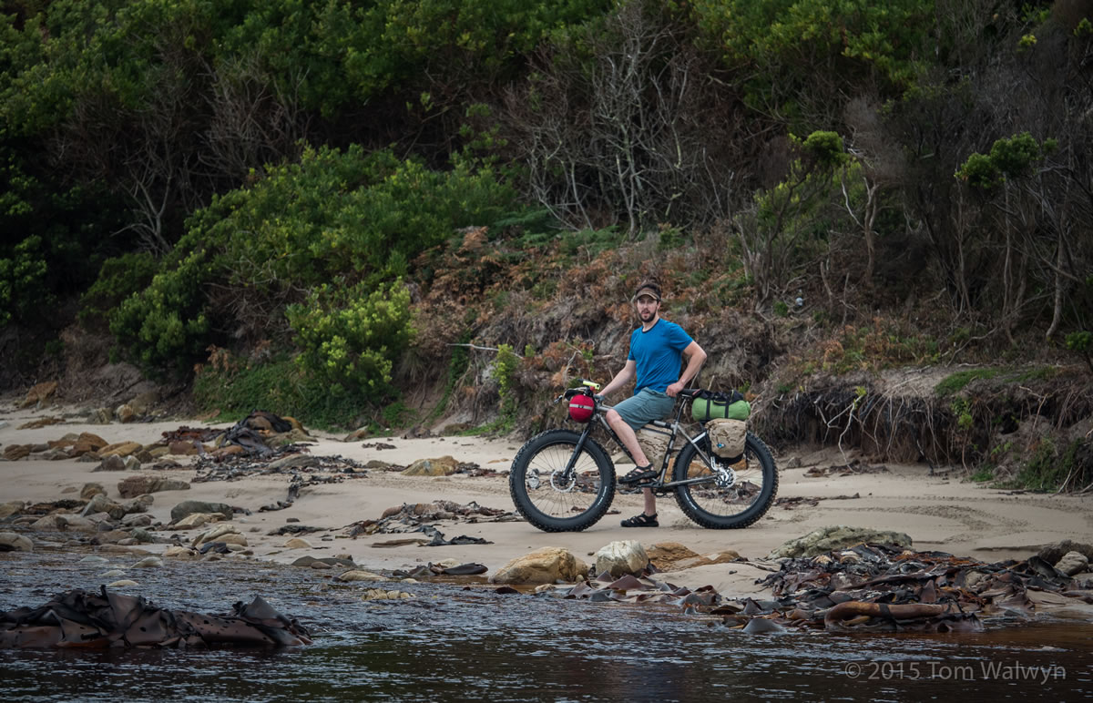
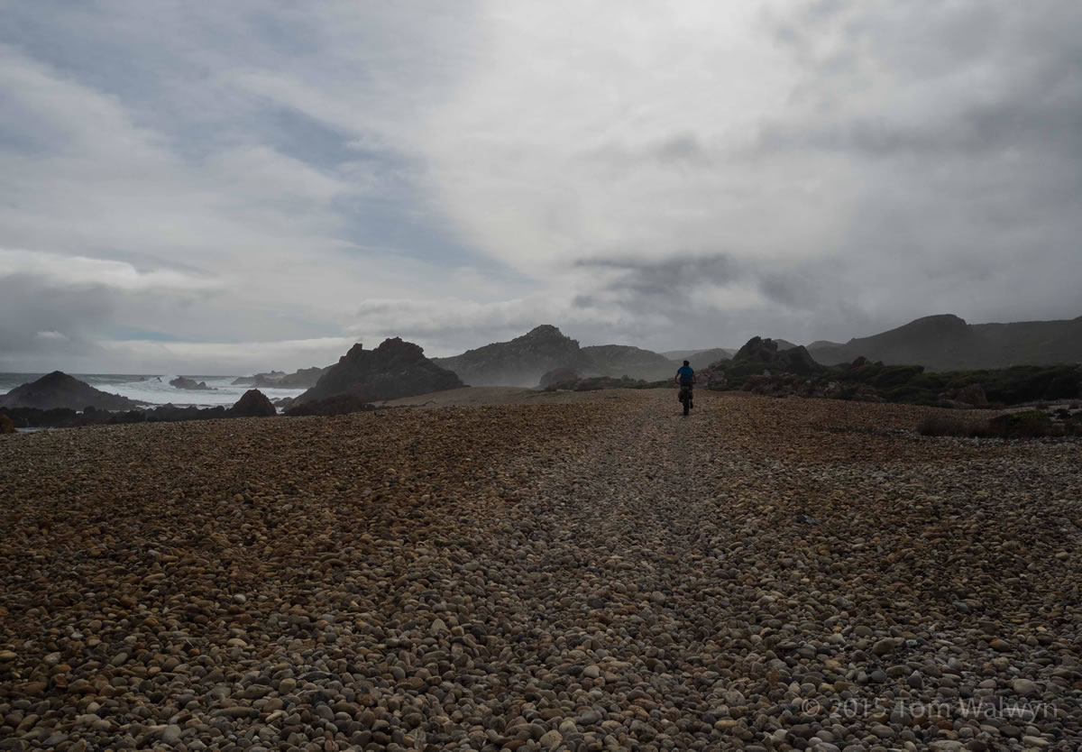
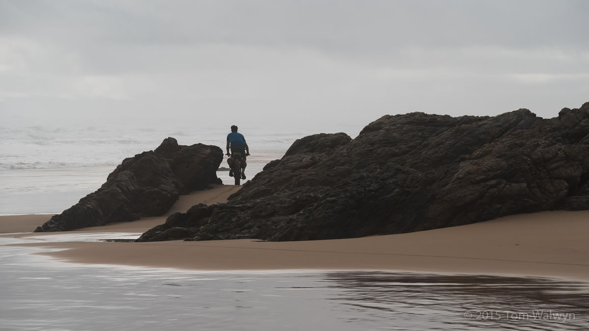
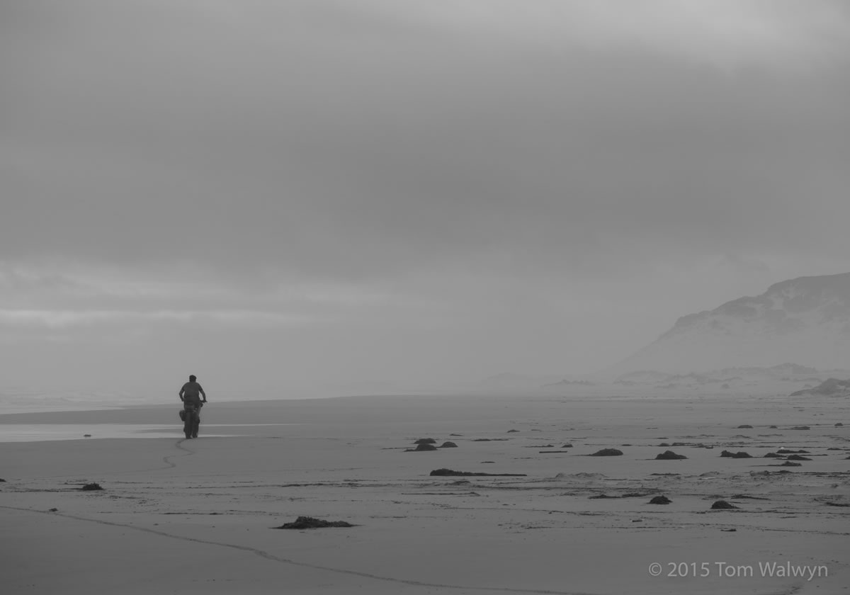
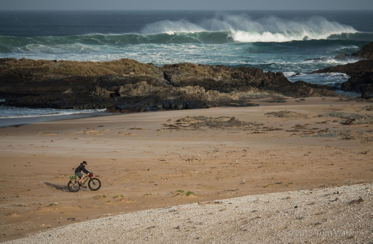
This is a route along Tasmania’s infamous west coast that works best with fat-tyres. Although it only covers 110km, it has the potential for serious consequences if riders venture out unprepared or the weather turns bad. There is road access at the start, an obligatory river crossing (pack-raft potential) and road access at the end. What happens in between is up to you. It has sites of great aboriginal significance requiring the ‘light touch‘ possible by those on foot or bike.


Submit Route Alert
As the leading creator and publisher of bikepacking routes, BIKEPACKING.com endeavors to maintain, improve, and advocate for our growing network of bikepacking routes all over the world. As such, our editorial team, route creators, and Route Stewards serve as mediators for route improvements and opportunities for connectivity, conservation, and community growth around these routes. To facilitate these efforts, we rely on our Bikepacking Collective and the greater bikepacking community to call attention to critical issues and opportunities that are discovered while riding these routes. If you have a vital issue or opportunity regarding this route that pertains to one of the subjects below, please let us know:
Highlights
Must Know
Camping
Food/H2O
Resources
- The mix of journey and technical riding in a wild and remote area of Australia
- Pounding surf and solitude
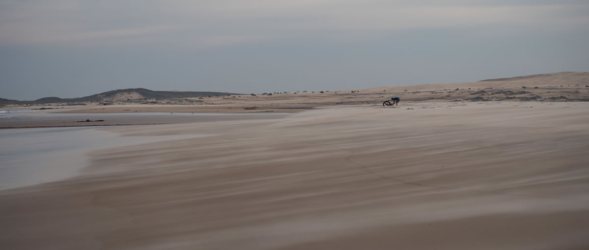
- Potential for changes in weather arriving out of the blue (4 seasons in one day)
- Fat tyres recommended (consider more beach specific tyres such as Big Fat Larrys rather than Bud/Lou as the latter pick up too much damp sand).
- Granville Harbour is about 5-6 hours drive from Hobart or Launceston (airports), and the return from Arthur River is a long day of driving (we did it overnight).
- There is a loop possible by heading along the Balfour Track (deep water crossings with 4WD told to have winches and not travel alone) and back south on the ‘Western Explorer’ (Norfolk Road – graded dirt road 2WD suitable). Full information at parks.tas.gov.au.
- A more southerly start could be made at Hell’s Gates near Strahan, but this adds 1-2 more river crossings and would make carrying a packraft recommended.
- Crossing the Pieman River at Pieman Heads either requires a packraft (100-200m wide and fully navigable by boats) or an arrangement with the Arcadia II when this is operating (seasonal – not all days). This cost us AU$25/person.
- The coast north of the Pieman until Sea Devil Rivulet is closed to 4WD vehicles due to concerns about damage to sensitive aboriginal sites (middens and rock art). Riding bicycles along here is not mentioned, but proper care and respect should be exercised to avoid issues. #leavenotrace
- A number of spots are marked on the Tasmania Parks department pdf, and further south there are multiple options.
- Consider that the weather can and will change significantly overnight including wind direction.
- Choose the most sheltered and well-drained site you can find.
- Water is tannin-stained and filtering/treating is your choice.
- There are sufficient river crossings, but it’s worth picking up overnight water mid-afternoon in case a dry-camp is needed.
- No shops/food supplies on route apart from a shop at Arthur River.
More about this route


Terms of Use: As with each bikepacking route guide published on BIKEPACKING.com, should you choose to cycle this route, do so at your own risk. Prior to setting out check current local weather, conditions, and land/road closures. While riding, obey all public and private land use restrictions and rules, carry proper safety and navigational equipment, and of course, follow the #leavenotrace guidelines. The information found herein is simply a planning resource to be used as a point of inspiration in conjunction with your own due-diligence. In spite of the fact that this route, associated GPS track (GPX and maps), and all route guidelines were prepared under diligent research by the specified contributor and/or contributors, the accuracy of such and judgement of the author is not guaranteed. BIKEPACKING.com LLC, its partners, associates, and contributors are in no way liable for personal injury, damage to personal property, or any other such situation that might happen to individual riders cycling or following this route.
Please keep the conversation civil, constructive, and inclusive, or your comment will be removed.